Trails near Čabar
25 hikes starting within 15 km, nearest first.
Nearest first
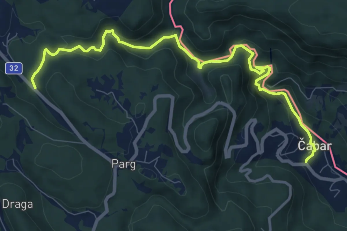
Medium · Trail
Prezid - Čabar - Tršće
9.3 km · ↑ 390 m · 3 h 2 min · 3 km away
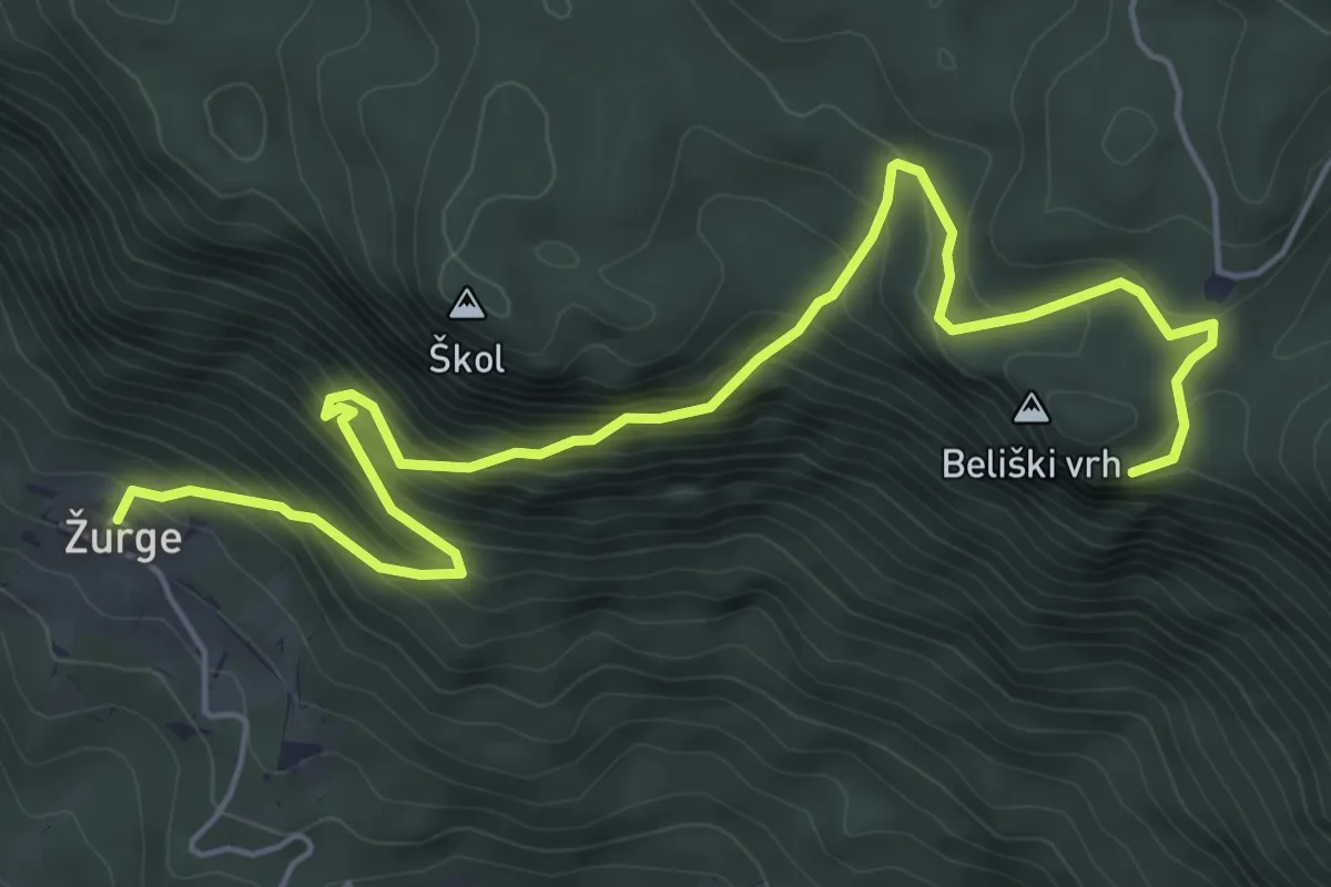
Medium · Trail
Žurge - Taborska jama
7.0 km · ↑ 707 m · 3 h 11 min · 5 km away
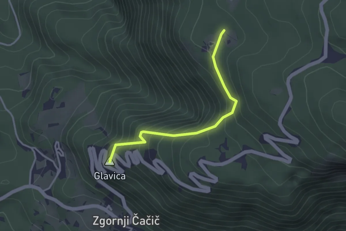
Easy · Summit
Zg. Čačič - Bezgarska pl.
2.8 km · ↑ 301 m · 1 h 19 min · 7 km away
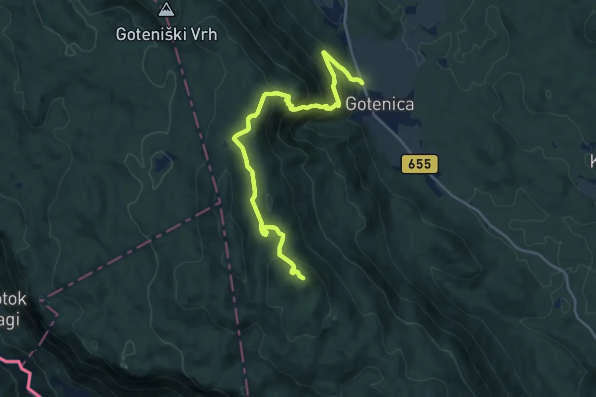
Medium · Summit
Gotenica - Goteniški Snežnik
12.2 km · ↑ 717 m · 4 h 26 min · 8 km away
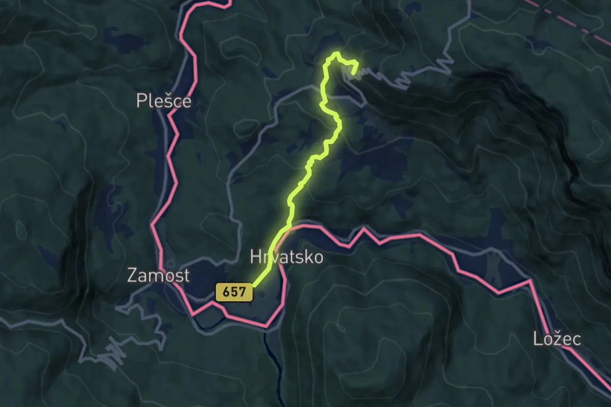
Medium · Summit
Osilnica - Bezgarska pl.
7.0 km · ↑ 455 m · 2 h 39 min · 8 km away
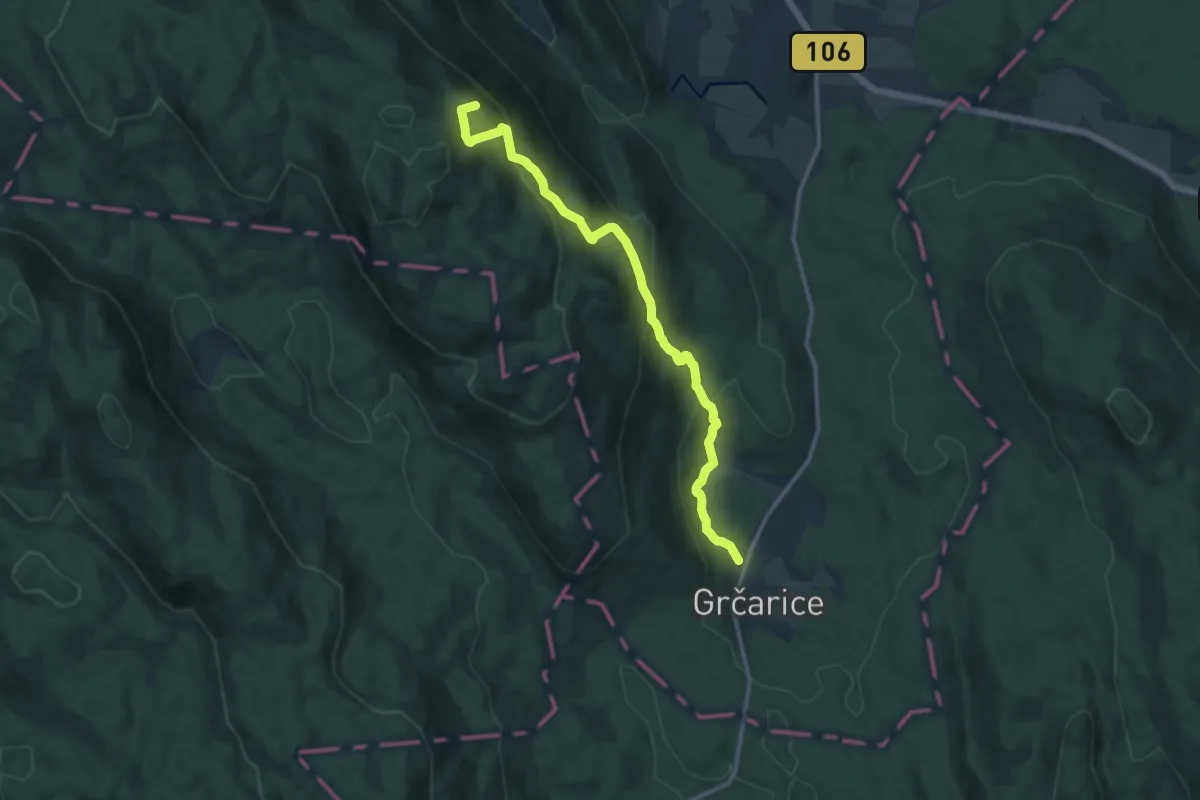
Medium · Summit
Grčarice - Bela stena
13.3 km · ↑ 729 m · 4 h 43 min · 10 km away
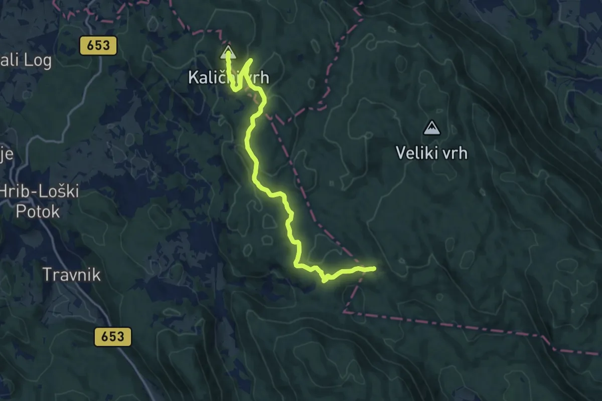
Medium · Summit
Jelenov Žleb - Kalični vrh
14.7 km · ↑ 518 m · 4 h 36 min · 11 km away
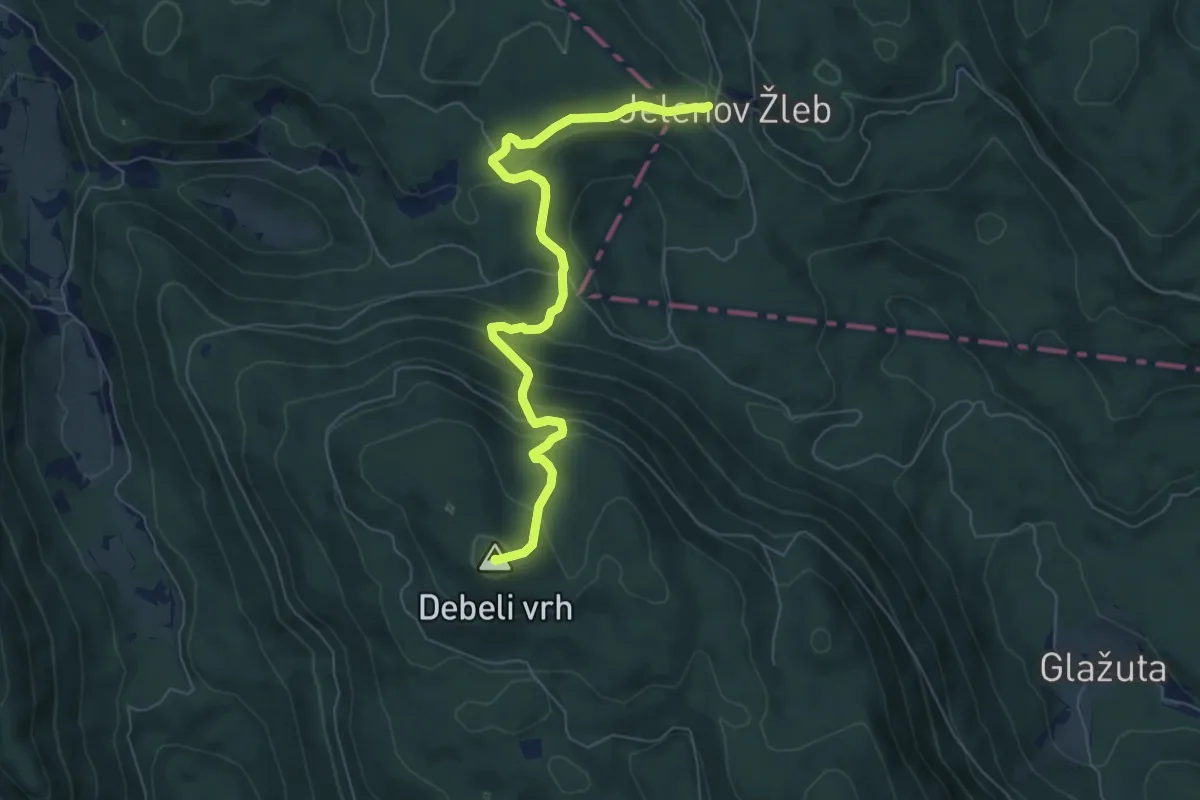
Medium · Summit
Jelenov Žleb - Debeli vrh
6.9 km · ↑ 469 m · 2 h 39 min · 11 km away
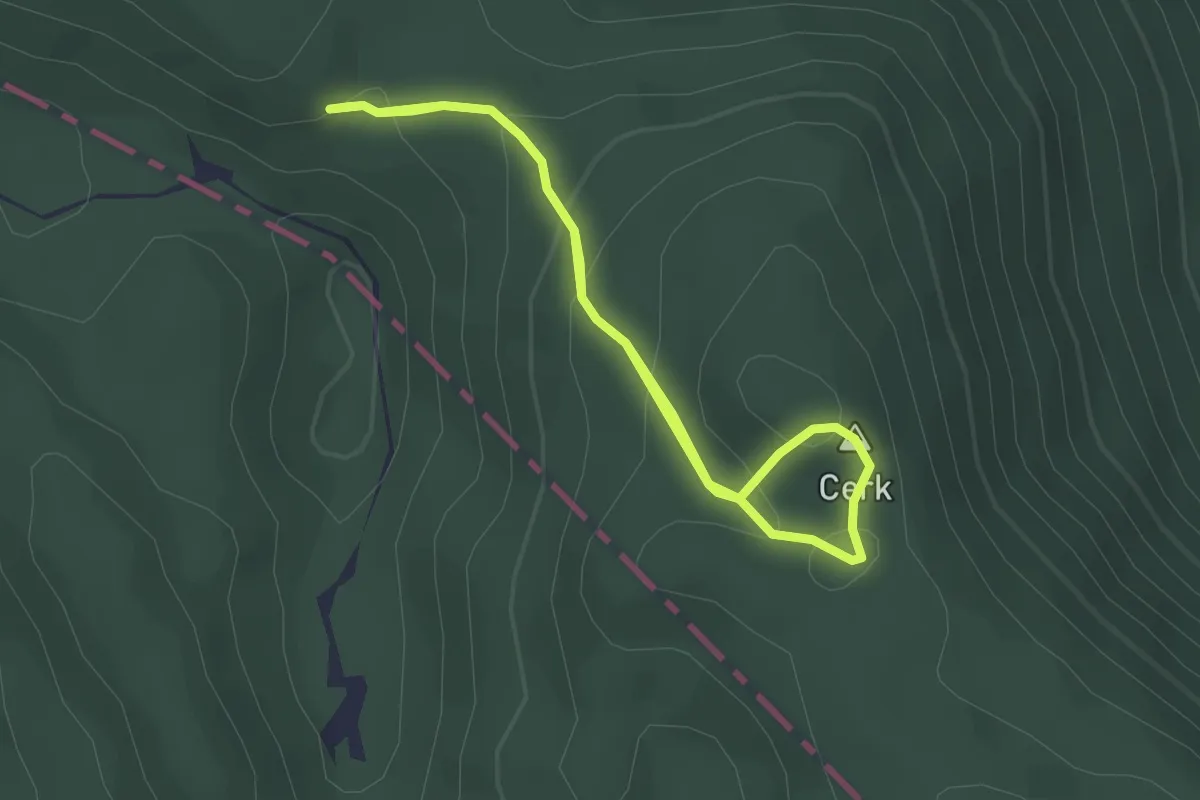
Easy · Summit
Pragozdna pot Krokar
2.1 km · ↑ 119 m · 47 min · 11 km away
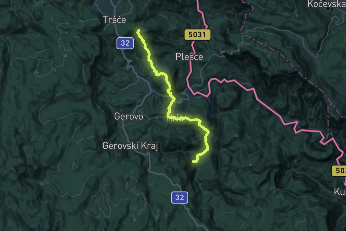
Demanding · Summit
Tršće - Sveta gora - Izvor Kupe - Crni Lug
25.1 km · ↑ 1401 m · 8 h 57 min · 12 km away
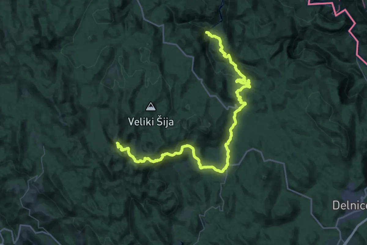
Demanding · Summit
Nacionalni park Risnjak
47.3 km · ↑ 2255 m · 16 h 3 min · 12 km away
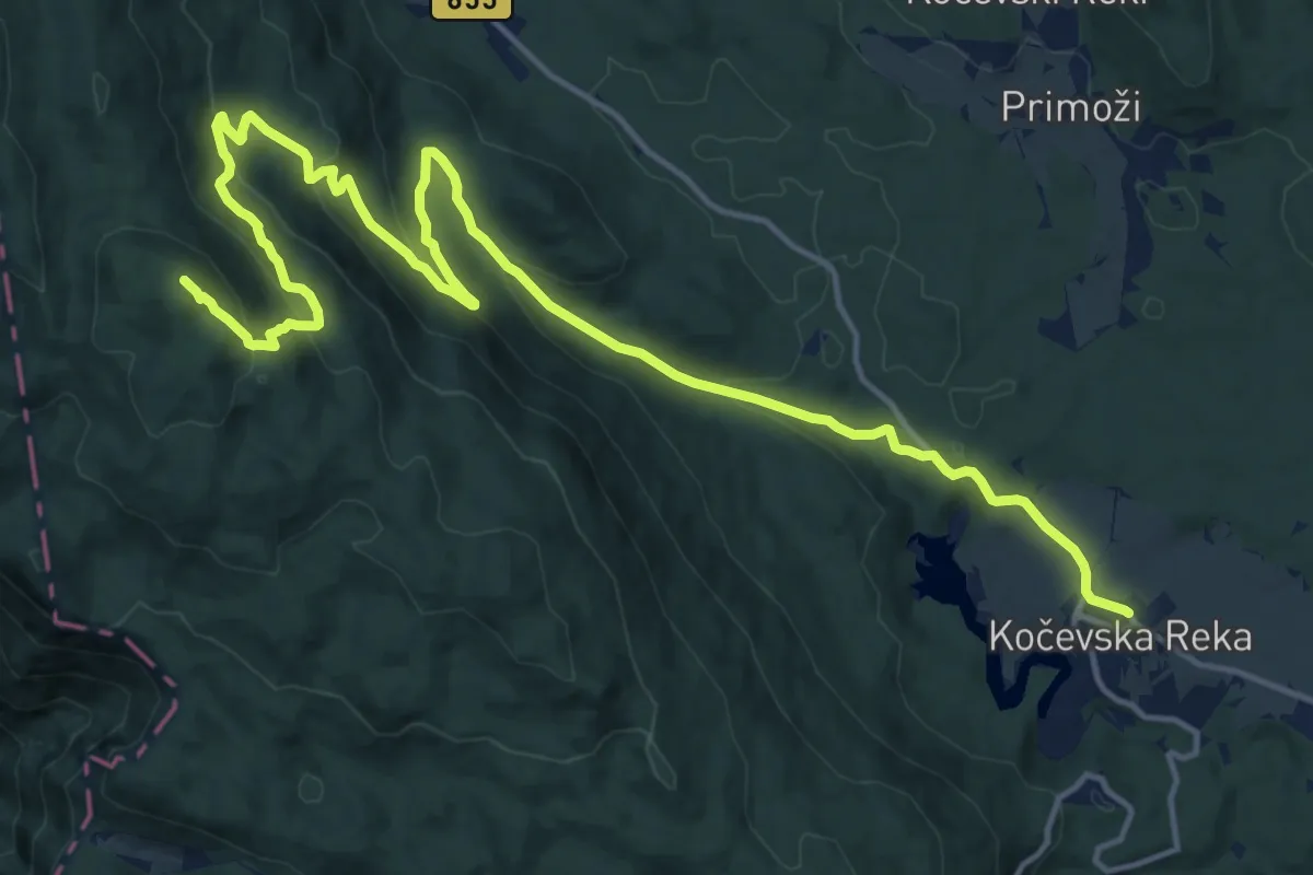
Demanding · Summit
Kočevska Reka - Goteniški Snežnik
20.6 km · ↑ 791 m · 6 h 34 min · 12 km away
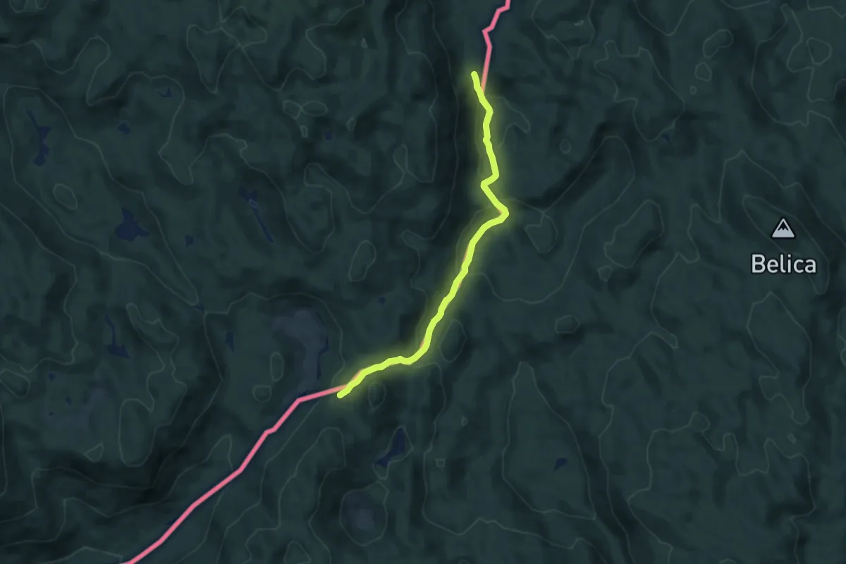
Medium · Trail
Goranski planinarski put
8.0 km · ↑ 410 m · 2 h 47 min · 12 km away
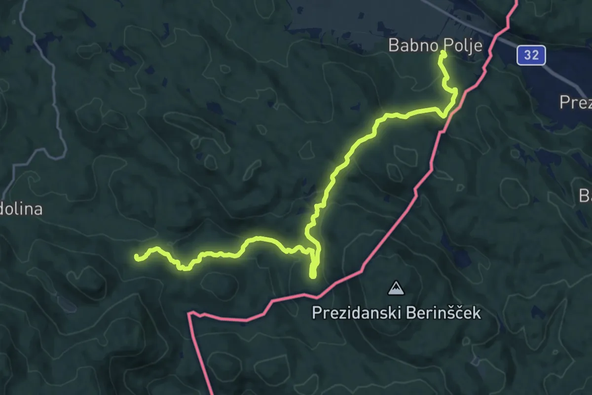
Demanding · Trail
Postojna via Snežnik to Prezid
18.6 km · ↑ 624 m · 5 h 45 min · 12 km away
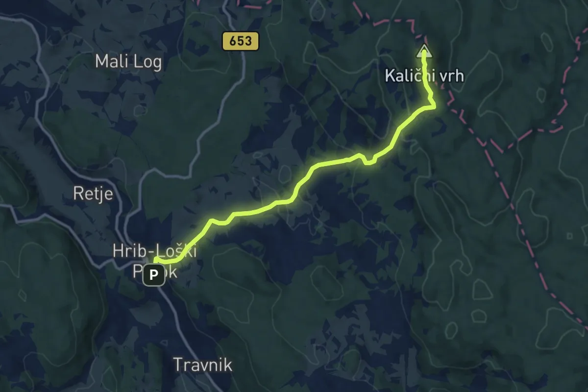
Medium · Summit
Hrib-Loški Potok - Kalični vrh
10.5 km · ↑ 429 m · 3 h 25 min · 12 km away
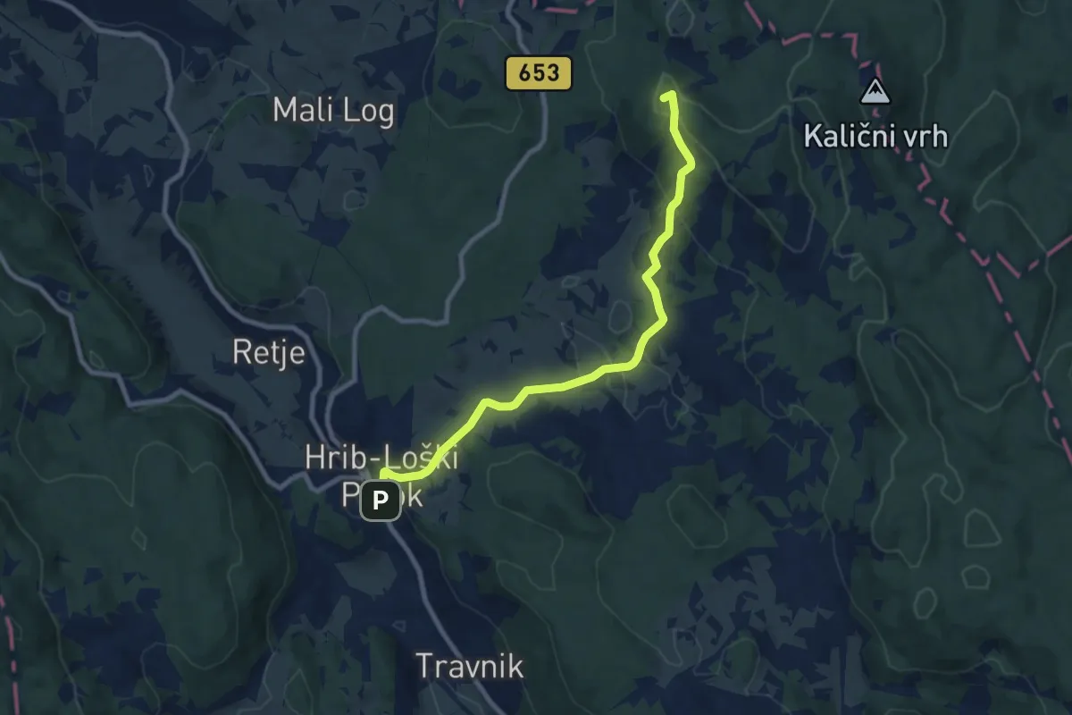
Medium · Summit
Hrib-Loški Potok - Kamni grič
8.6 km · ↑ 334 m · 2 h 45 min · 12 km away
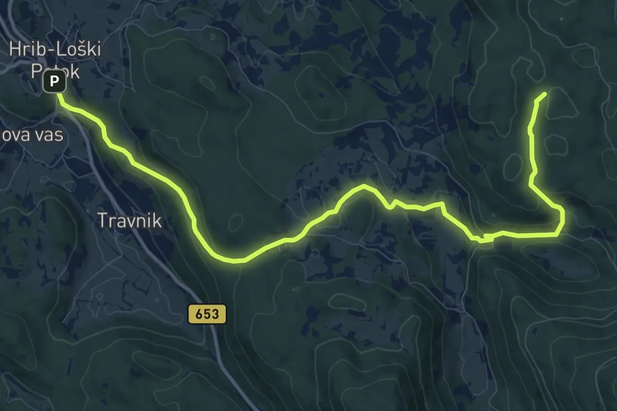
Medium · Trail
Hrib-Loški Potok - Ogenjca
13.2 km · ↑ 535 m · 4 h 16 min · 12 km away
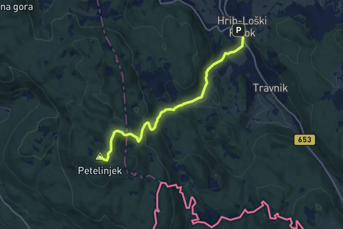
Medium · Summit
Šegova pot
10.5 km · ↑ 642 m · 3 h 53 min · 12 km away
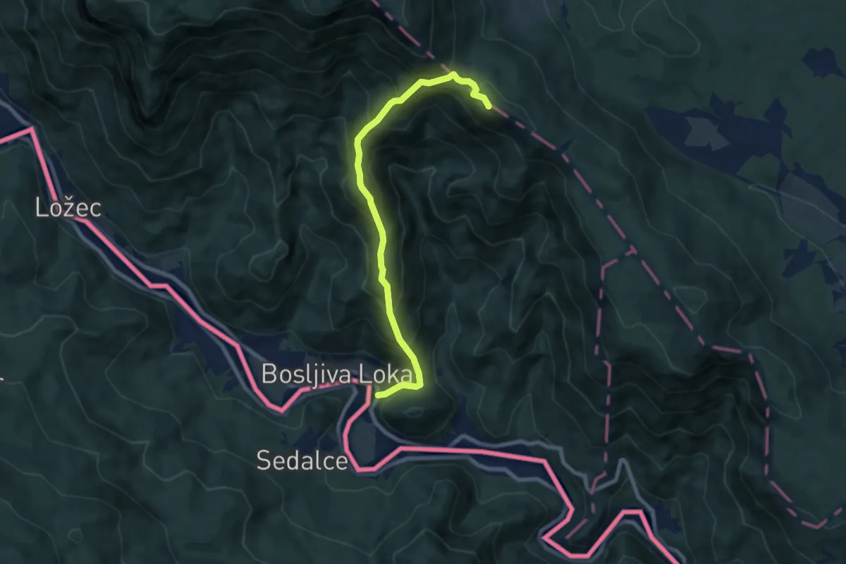
Medium · Summit
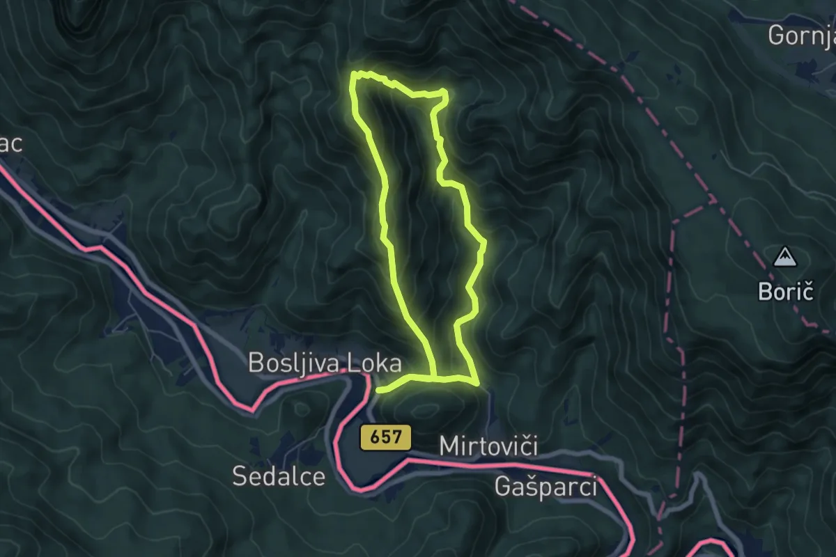
Bosljiva Loka - Krempa
7.5 km · ↑ 761 m · 3 h 25 min · 13 km away
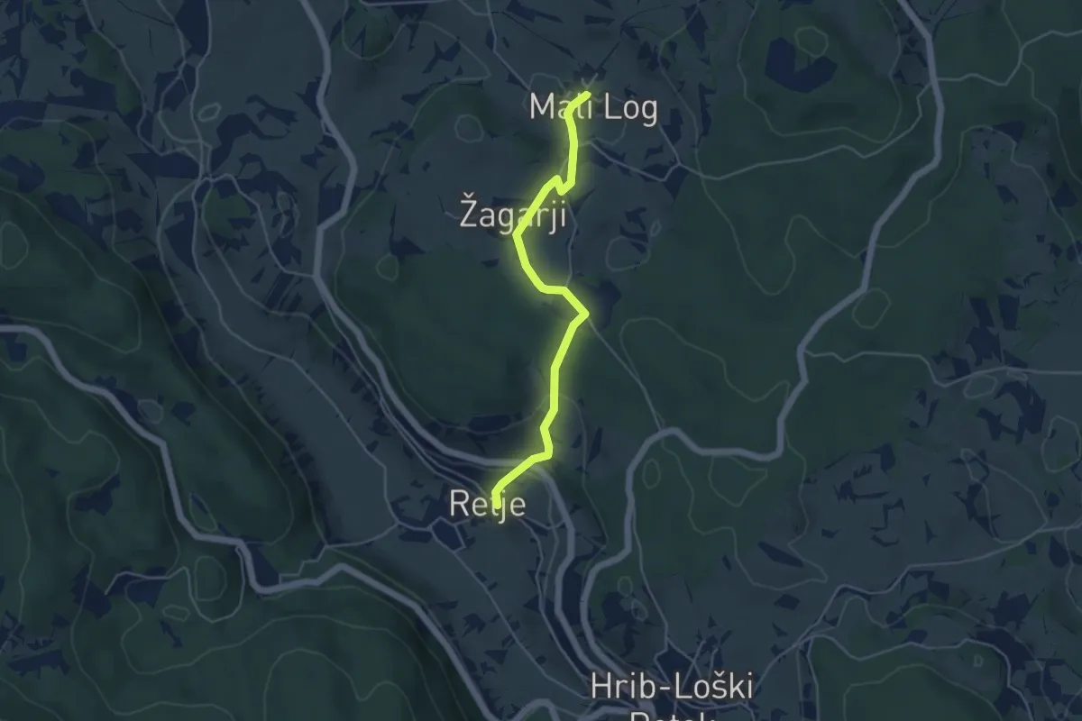
Easy · Trail
Retje - Mali Log
4.4 km · ↑ 148 m · 1 h 21 min · 14 km away
Easy · Cabin
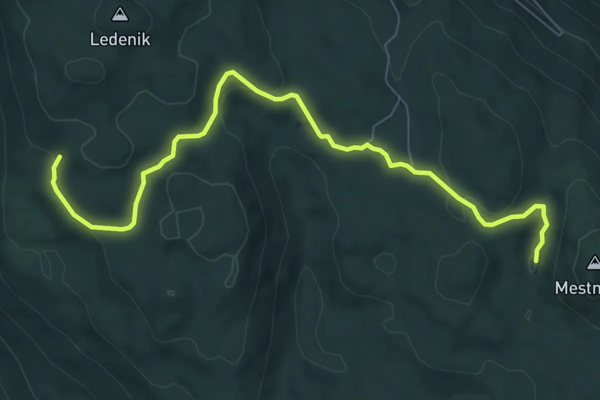
Jelenov studenec - Eleonorina jama
7.8 km · ↑ 278 m · 2 h 26 min · 14 km away
Medium · Summit
Osilniška planinska pot
5.5 km · ↑ 464 m · 2 h 23 min · 14 km away
Demanding · Summit
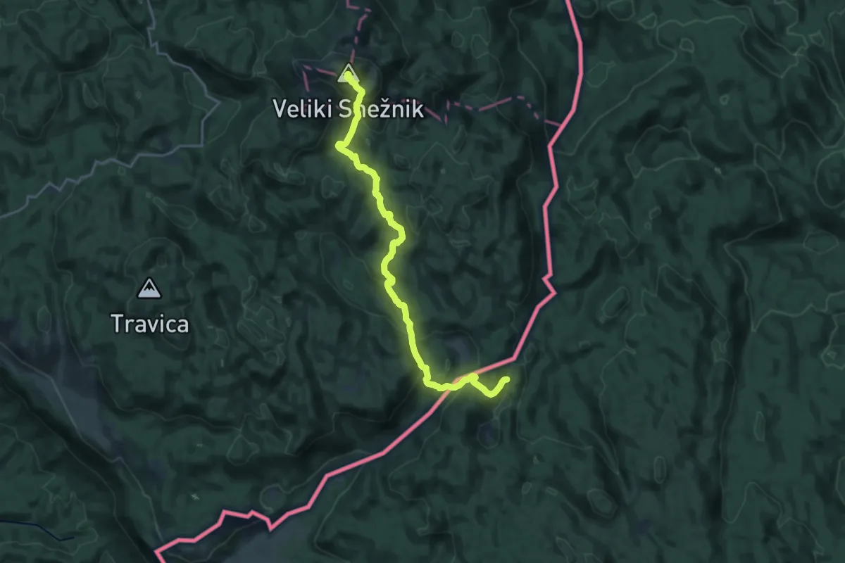
Pot prijateljstva Snežnik-Snježnik
20.4 km · ↑ 1105 m · 7 h 13 min · 14 km away
Easy · Summit
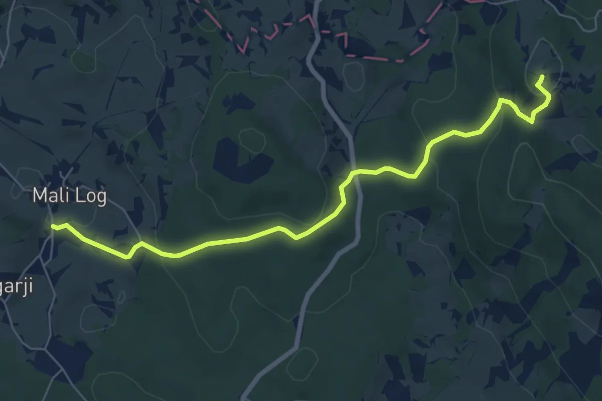
Mali Log - Kamni grič
6.4 km · ↑ 277 m · 2 h 6 min · 15 km away
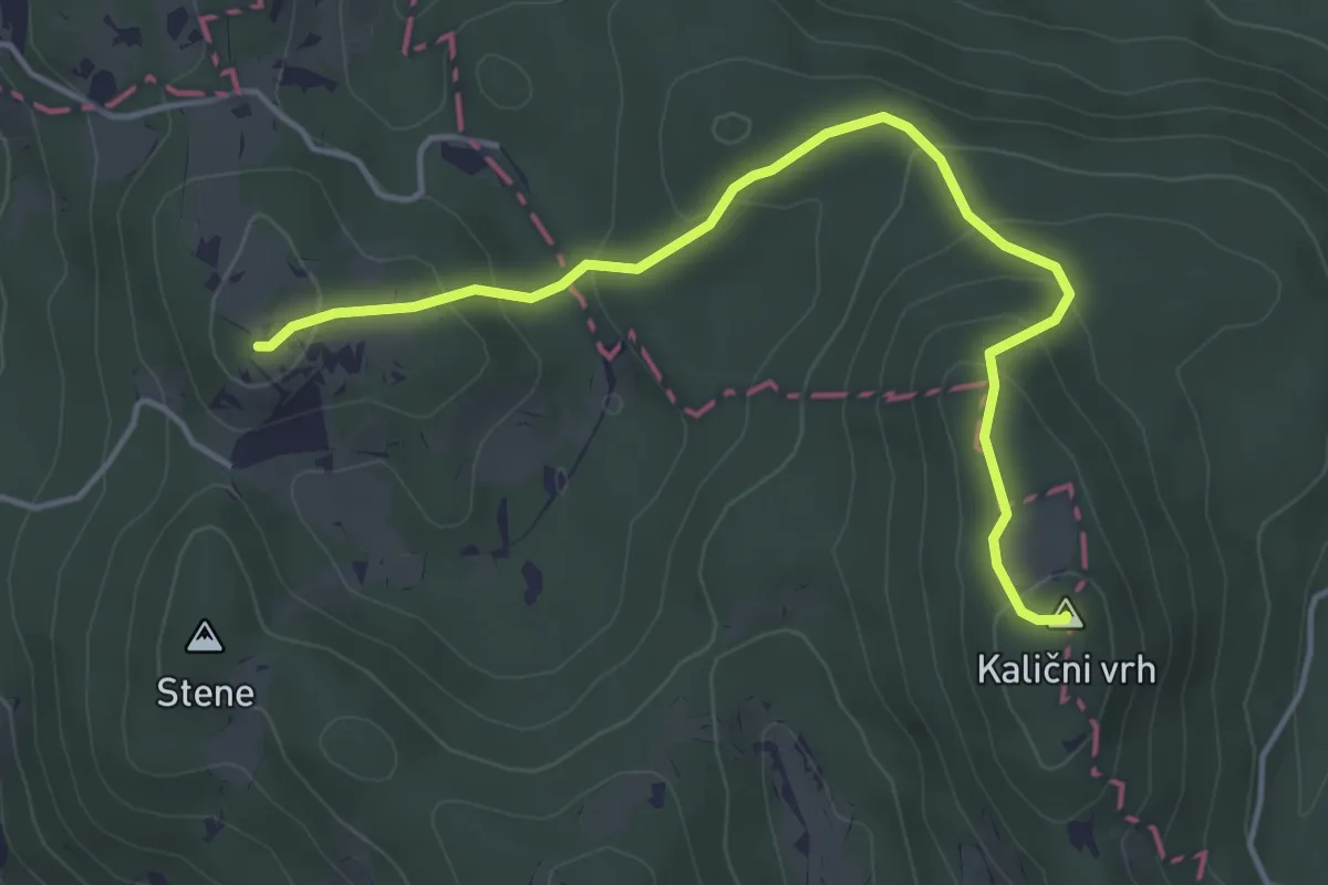
Easy · Summit
Kamni grič - Kalični vrh
4.6 km · ↑ 207 m · 1 h 32 min · 15 km away