Trails near Gorenja vas
83 hikes starting within 15 km, nearest first.
Nearest first, page 2 of 2
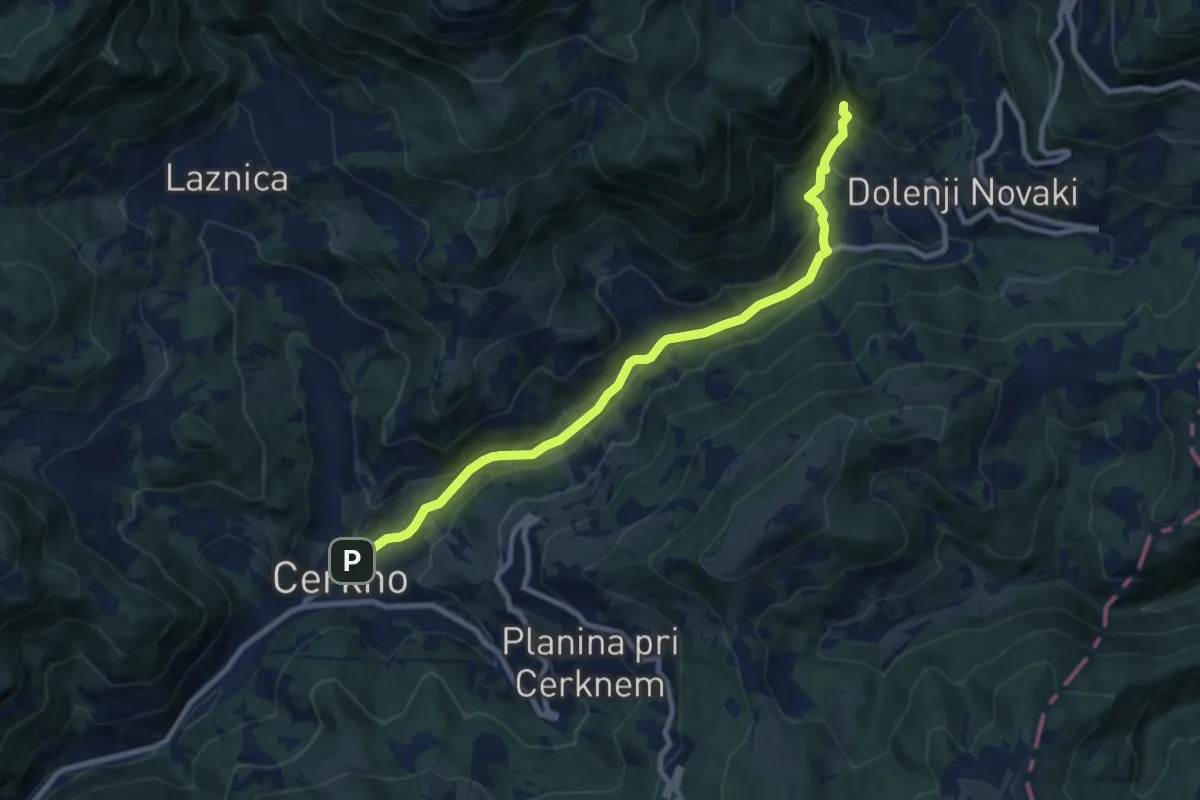
Medium · Trail
129 ~ Pot kurirjev in vezistov NOV Slovenije
9.4 km · ↑ 307 m · 2 h 53 min · 12 km away
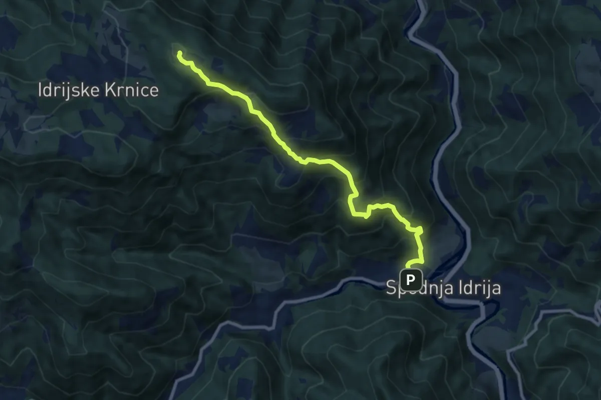
Demanding · Summit
Sp. Idrija - Jelenk
8.3 km · ↑ 806 m · 3 h 42 min · 13 km away
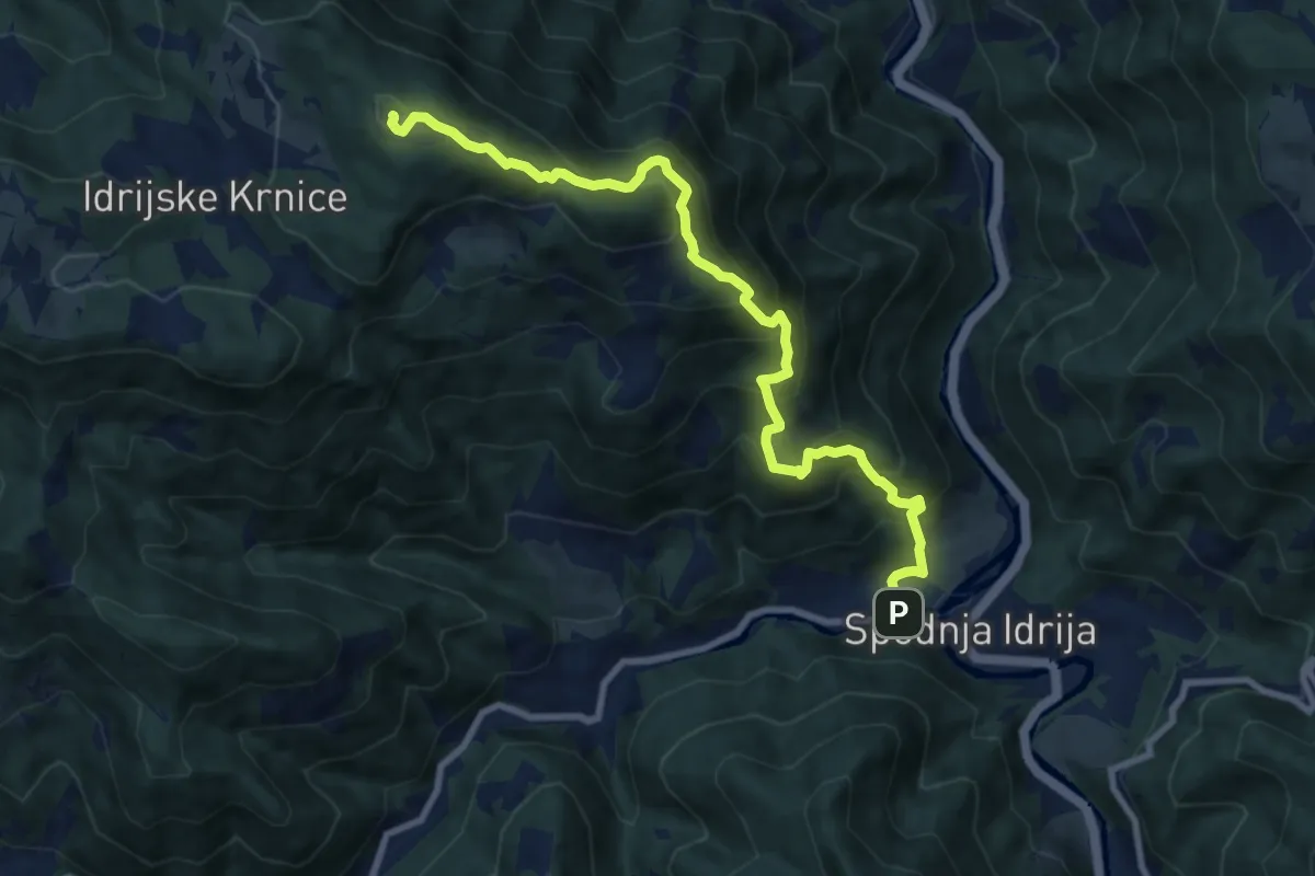
Expert · Summit
Sp. Idrija - Kendove robe - Jelenk
9.6 km · ↑ 873 m · 4 h 10 min · 13 km away
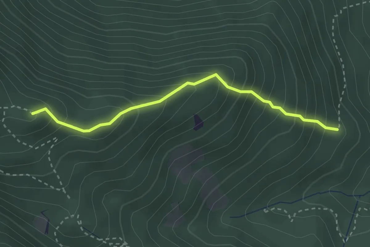
Medium · Summit
Grebenska pot
2.6 km · ↑ 347 m · 1 h 22 min · 13 km away
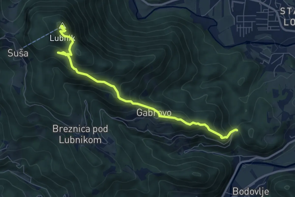
Medium · Summit
Gabrovo - Lubnik
7.4 km · ↑ 586 m · 3 h 1 min · 13 km away
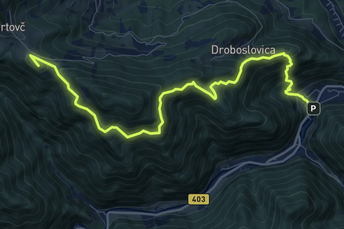
Demanding · Summit
Železniki - Na Lomu - Prtovč
10.9 km · ↑ 866 m · 4 h 26 min · 13 km away
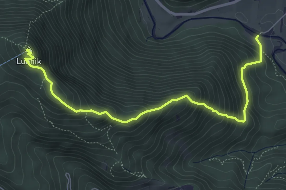
Medium · Summit
Vešter - Lubnik
6.2 km · ↑ 656 m · 2 h 53 min · 13 km away
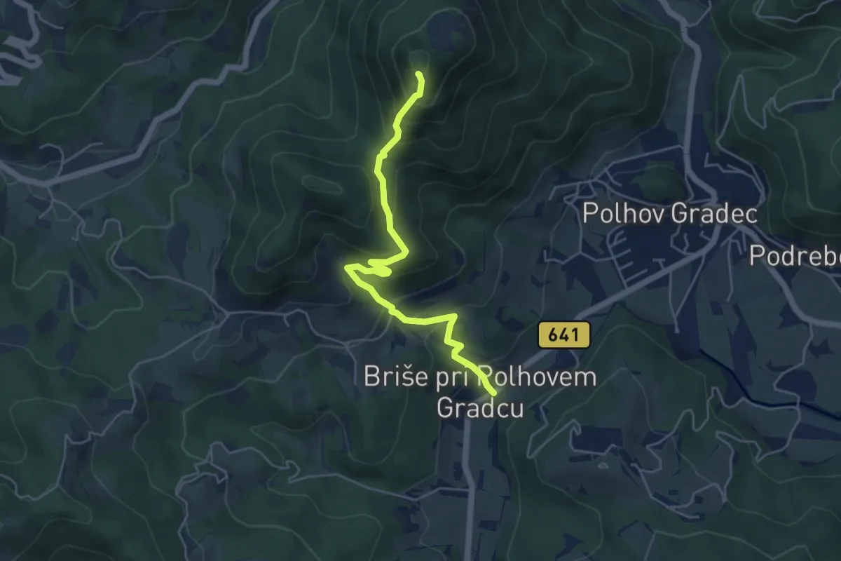
Demanding · Summit
Briše - Sv. Lovrenc
4.8 km · ↑ 405 m · 2 h · 13 km away
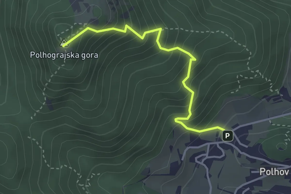
Medium · Summit
Grajski park – Polhograjska gora
3.1 km · ↑ 422 m · 1 h 39 min · 13 km away
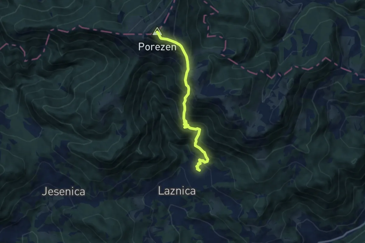
Demanding · Summit
Poče - Medrce - Porezen
7.8 km · ↑ 1005 m · 4 h 2 min · 13 km away
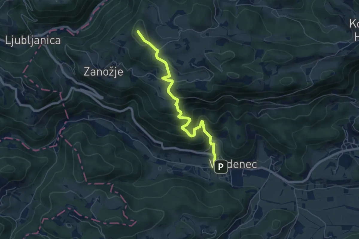
Medium · Summit
Vrzdenec - Samotorica - Kožljek
5.8 km · ↑ 428 m · 2 h 18 min · 13 km away
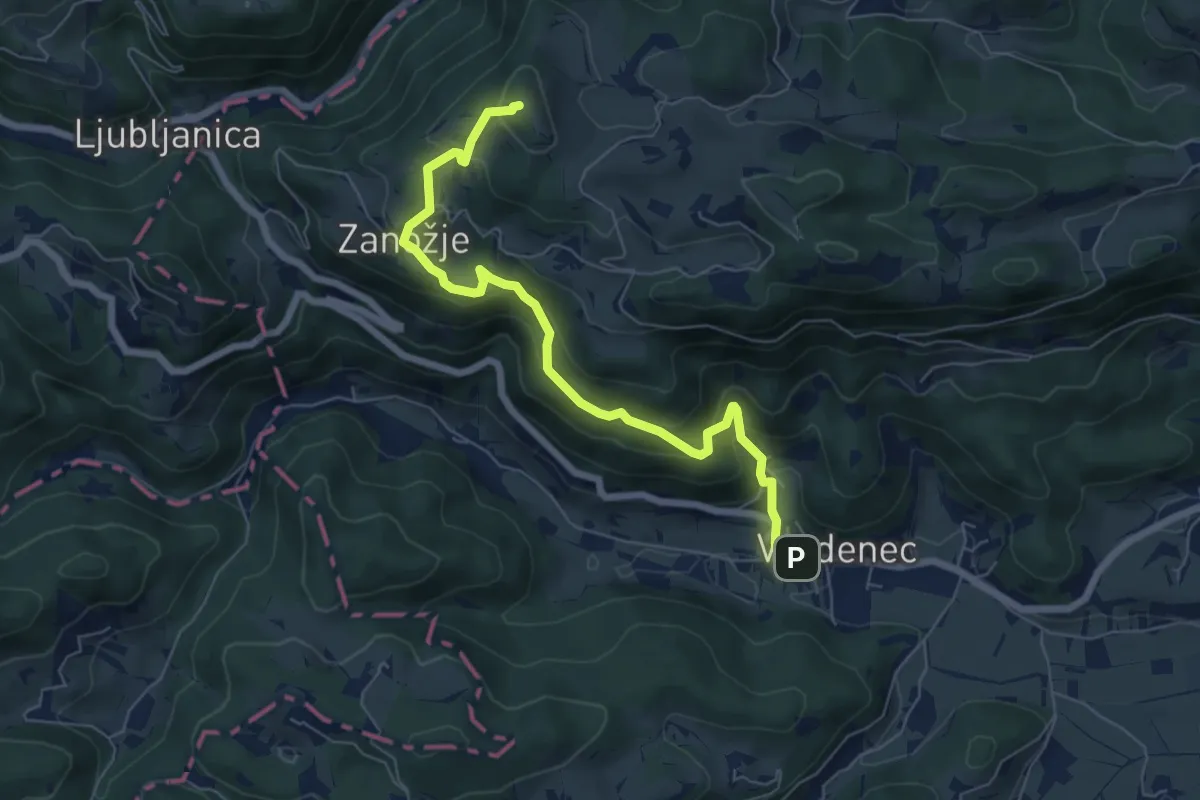
Medium · Summit
Vrzdenec - Zanožje - Kožljek
6.8 km · ↑ 462 m · 2 h 36 min · 13 km away
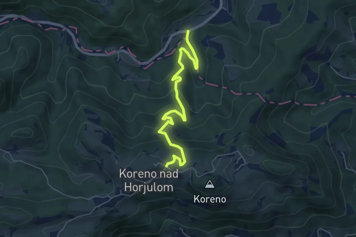
Medium · Trail
Briše - Koreno
5.4 km · ↑ 373 m · 2 h 5 min · 13 km away
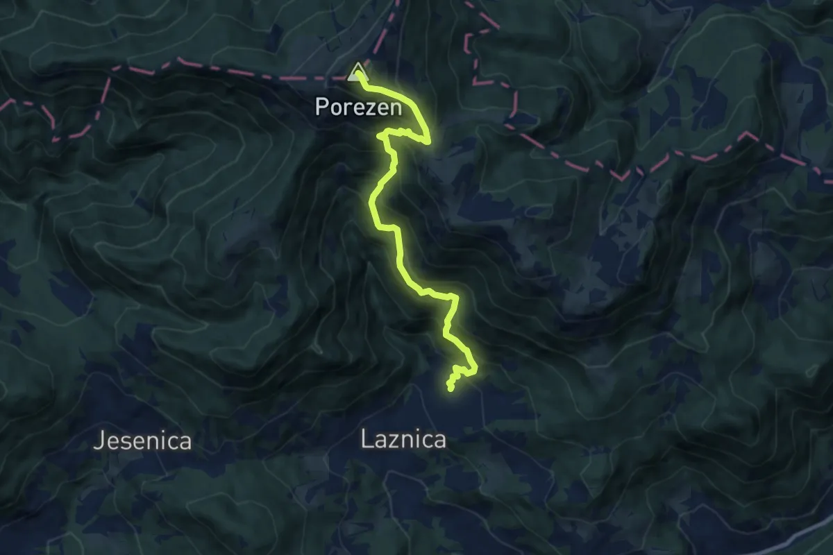
Demanding · Summit
Poče - Porezen
8.9 km · ↑ 1055 m · 4 h 23 min · 14 km away
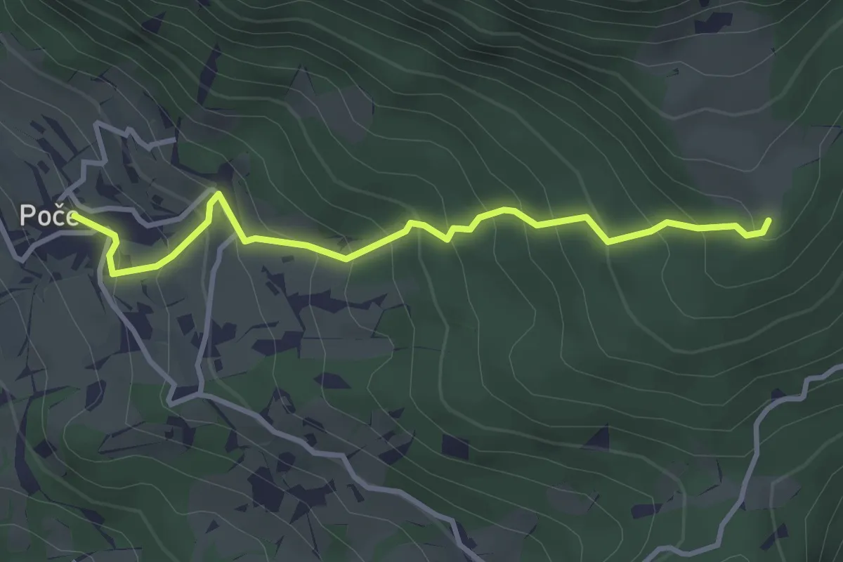
Easy · Trail
Poče - Labinjske lehe
3.3 km · ↑ 299 m · 1 h 25 min · 14 km away
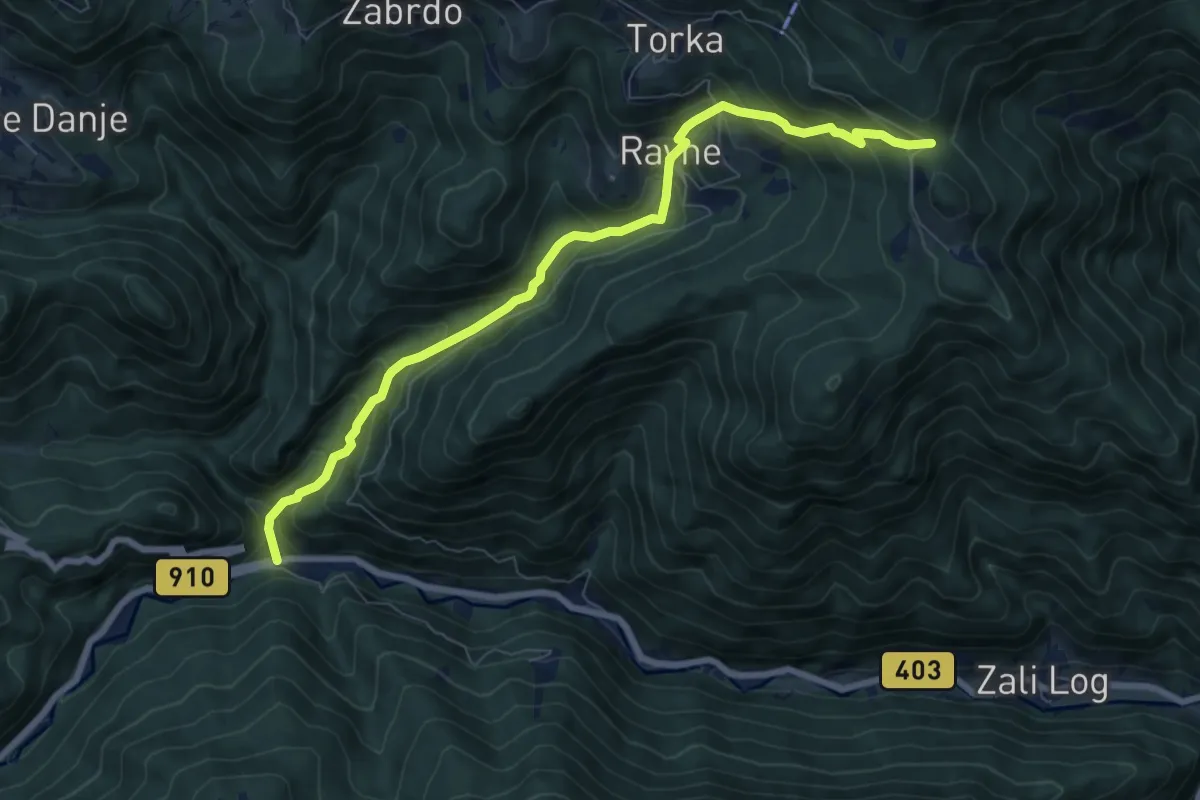
Medium · Trail
Podrošt - Povden
8.0 km · ↑ 718 m · 3 h 26 min · 14 km away
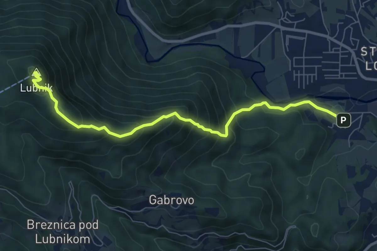
Medium · Summit
Vincarje - Lubnik
7.2 km · ↑ 648 m · 3 h 6 min · 14 km away
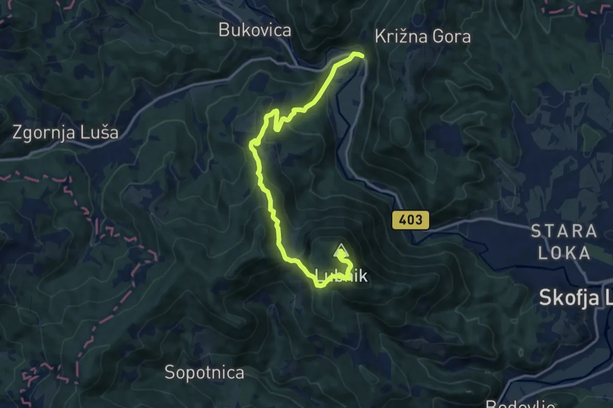
Medium · Summit
Praprotno - Lubnik
12.6 km · ↑ 750 m · 4 h 36 min · 14 km away
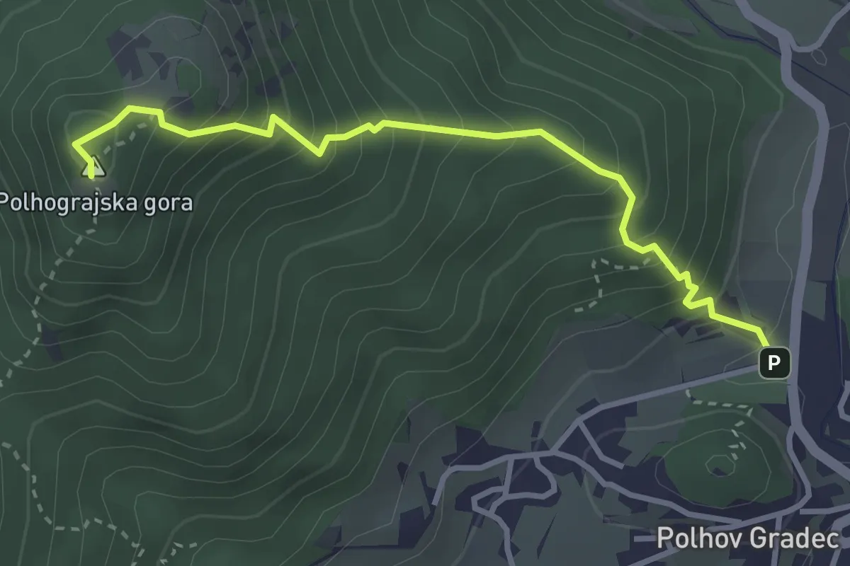
Medium · Summit
Polhov Gradec - Polhograjska gora
3.3 km · ↑ 406 m · 1 h 39 min · 14 km away
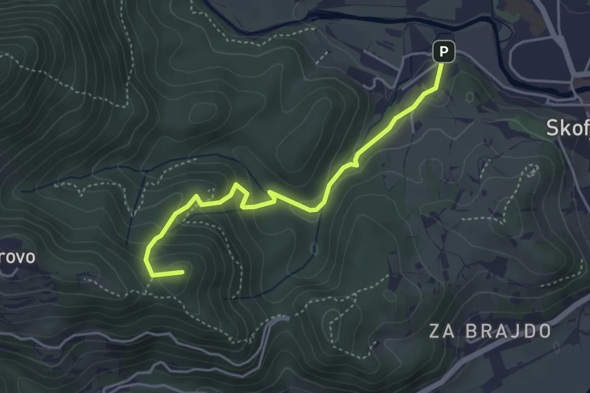
Medium · Summit
Vincarje - Gabrovo
4.0 km · ↑ 285 m · 1 h 34 min · 14 km away
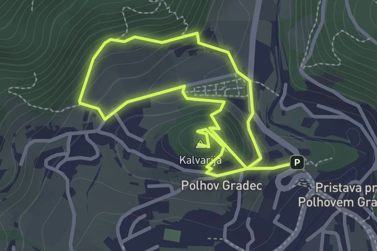
Easy · Summit
Blagajeva pot
4.2 km · ↑ 224 m · 1 h 29 min · 14 km away
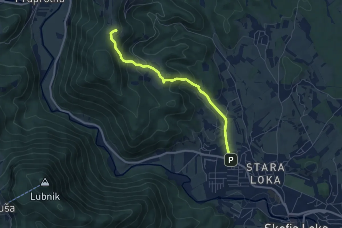
Medium · Trail
Škofja Loka - Križna Gora
6.0 km · ↑ 339 m · 2 h 8 min · 14 km away
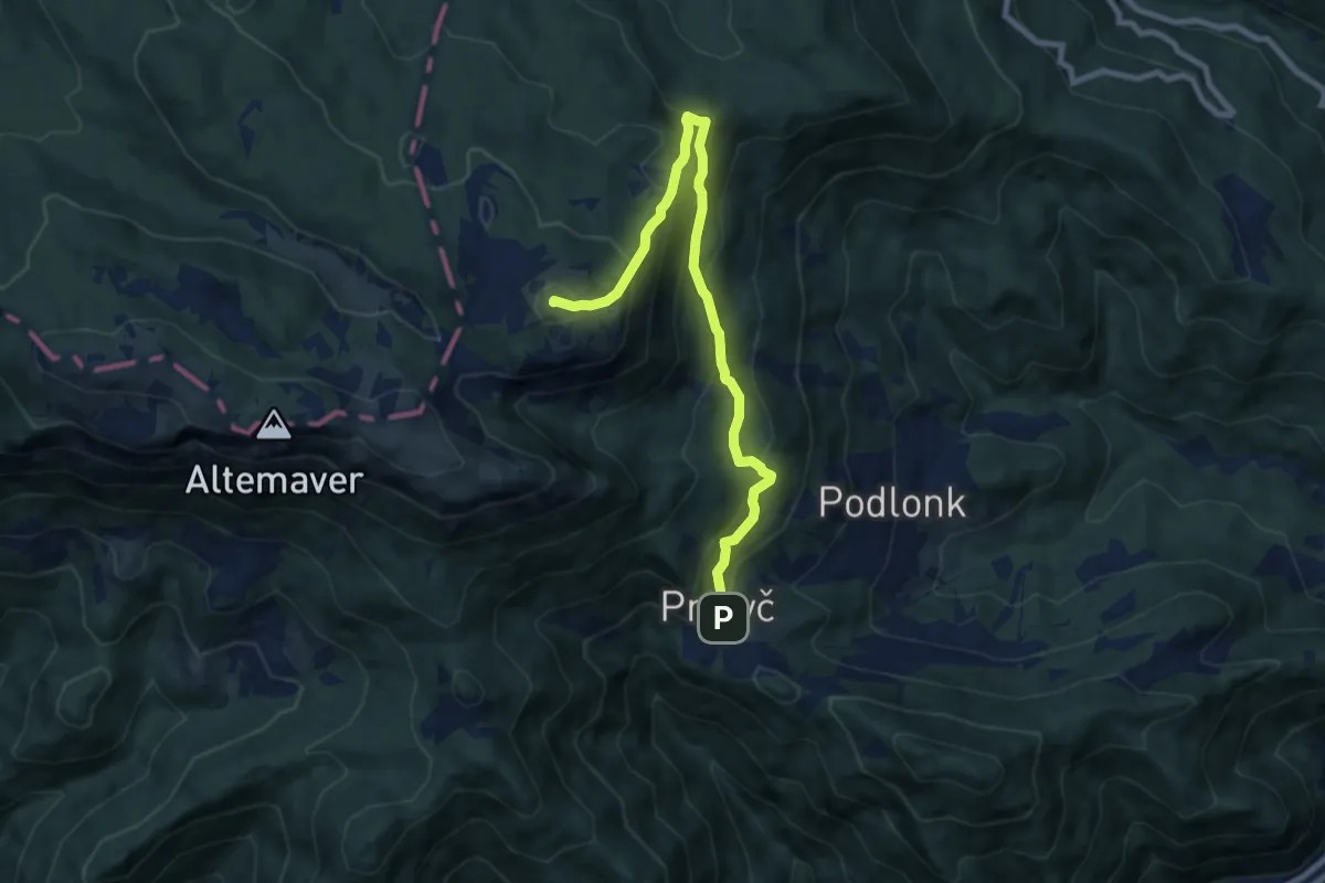
Medium · Summit
Prtovč L. k. Na Toli - Kosmati vrh
8.8 km · ↑ 708 m · 3 h 36 min · 14 km away
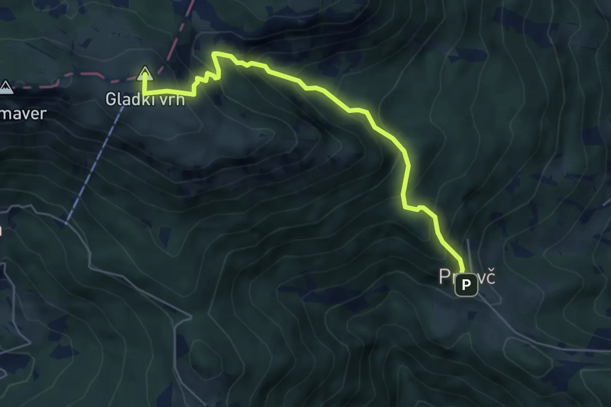
Medium · Summit
Prtovč - Razor - Ratitovec
5.4 km · ↑ 620 m · 2 h 37 min · 14 km away
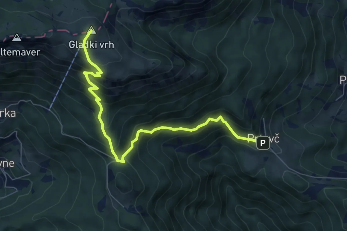
Medium · Summit
Prtovč - Povden - Ratitovec
7.0 km · ↑ 692 m · 3 h 9 min · 14 km away
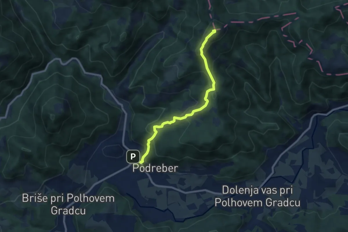
Demanding · Summit
Polhov Gradec - Ravnek - Grmada
6.8 km · ↑ 508 m · 2 h 42 min · 14 km away
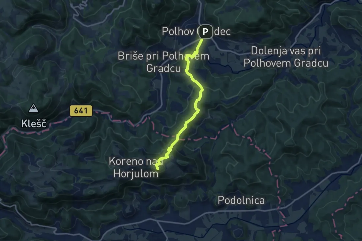
Medium · Summit
Polhov Gradec - Koreno
9.7 km · ↑ 423 m · 3 h 12 min · 14 km away
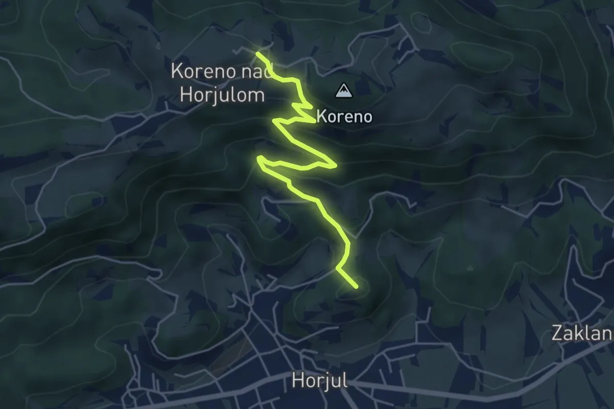
Medium · Summit
Horjul - Koreno (lažja)
4.6 km · ↑ 362 m · 1 h 52 min · 14 km away
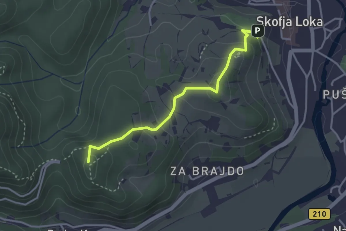
Easy · Summit
Pot treh gradov
2.9 km · ↑ 153 m · 1 h 1 min · 14 km away
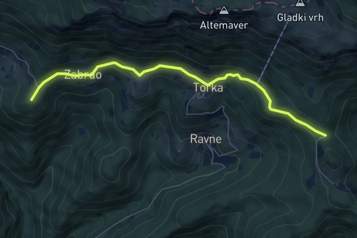
Easy · Summit
Sorica - Povden
6.3 km · ↑ 313 m · 2 h 10 min · 14 km away
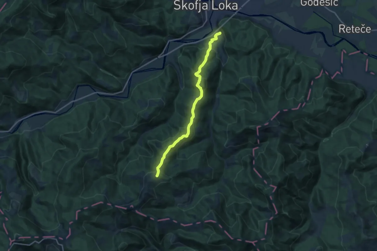
Medium · Summit
Puštal - Sv. Ožbolt
11.7 km · ↑ 602 m · 4 h 4 min · 14 km away
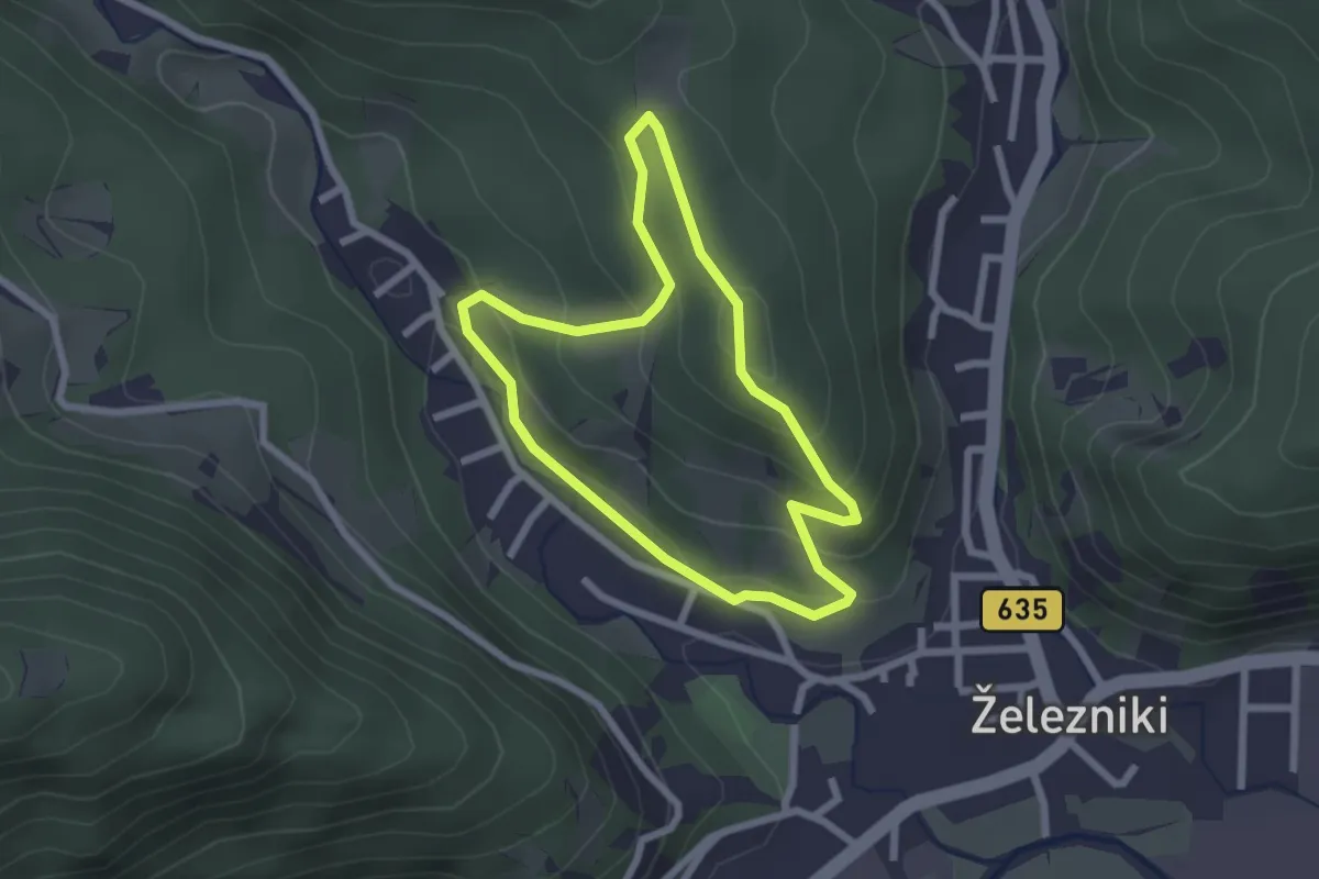
Easy · Summit
Gozdna učna pot Kres
2.1 km · ↑ 104 m · 45 min · 14 km away
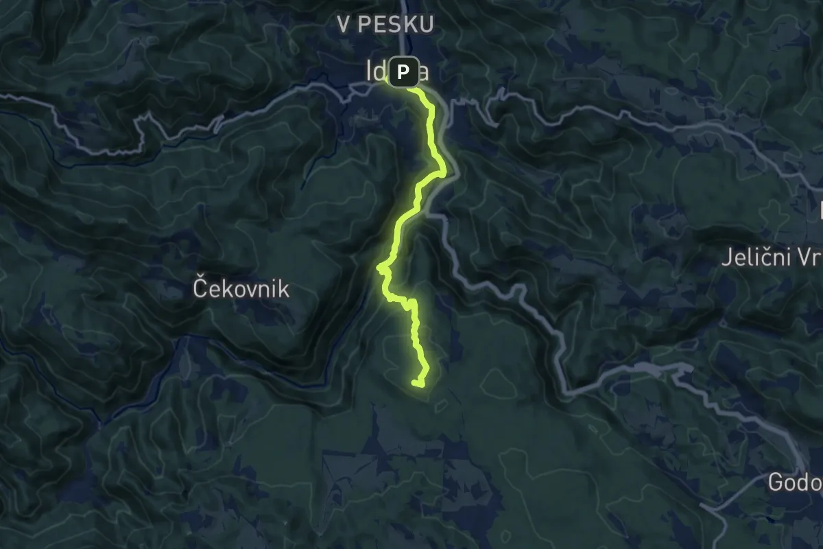
Medium · Summit
Via Alpina Stage 6: Črni vrh - Idrija
11.5 km · ↑ 568 m · 3 h 56 min · 15 km away
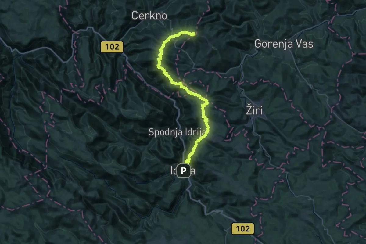
Demanding · Summit
Via Alpina Stage 7: Idrija - Planinska koča na Ermanovcu
44.6 km · ↑ 2345 m · 15 h 36 min · 15 km away
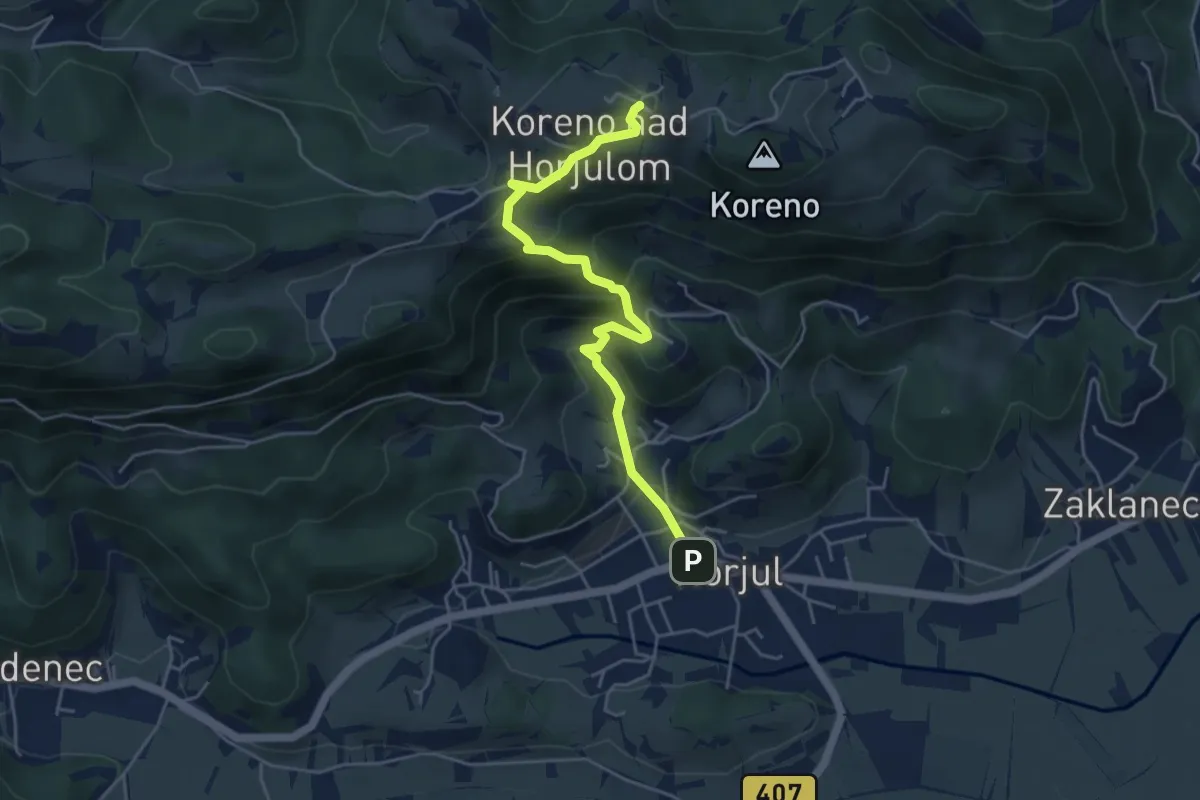
Medium · Trail
Horjul - Koreno (strma)
4.9 km · ↑ 355 m · 1 h 55 min · 15 km away