Trails near Izola / Isola
31 hikes starting within 15 km, nearest first.
Nearest first
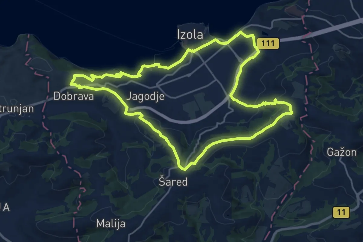
Medium · Trail
P11
14.6 km · ↑ 309 m · 4 h 20 min · under 1 km away
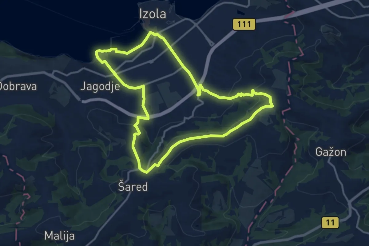
Medium · Trail
P10
10.6 km · ↑ 246 m · 3 h 11 min · 1 km away
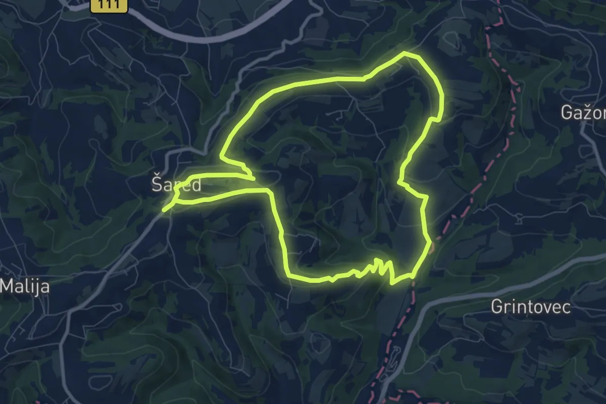
Medium · Trail
P12
8.9 km · ↑ 236 m · 2 h 45 min · 3 km away
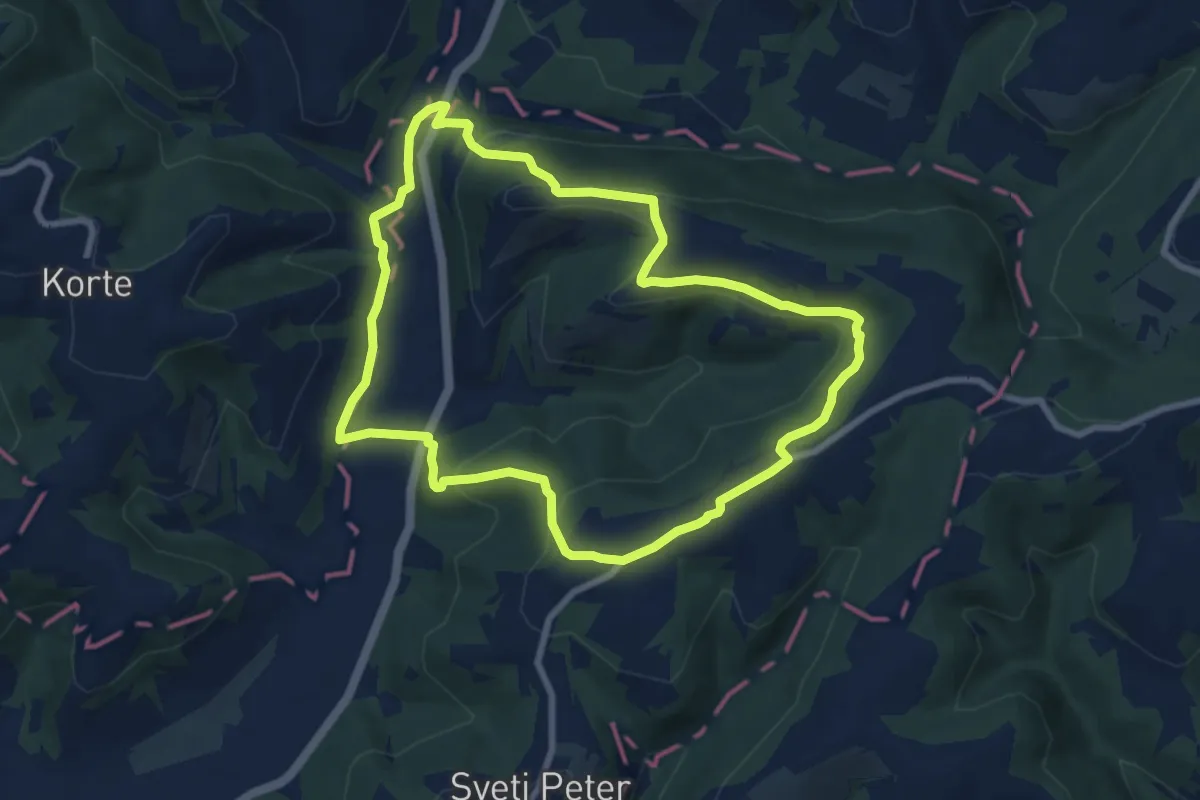
Medium · Trail
Boškarinova pot okoli Padne
8.1 km · ↑ 288 m · 2 h 39 min · 6 km away
Medium · Summit
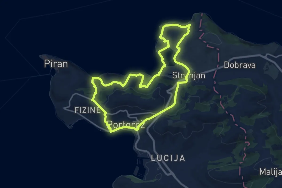
Strunjanska pešpot
11.3 km · ↑ 379 m · 3 h 38 min · 7 km away
Easy · Trail
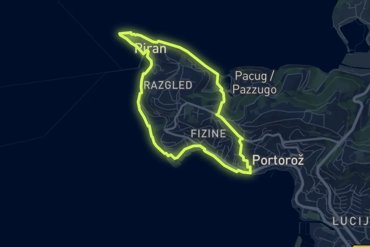
Piranska pešpot
6.9 km · ↑ 101 m · 1 h 56 min · 7 km away
Medium · Trail
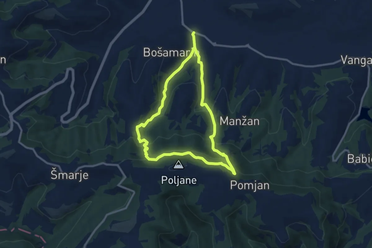
P5
6.8 km · ↑ 401 m · 2 h 34 min · 7 km away
Easy · Summit
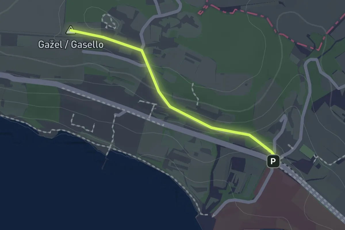
Debeli Rtič – Valdoltra
1.5 km · ↑ 43 m · 27 min · 7 km away
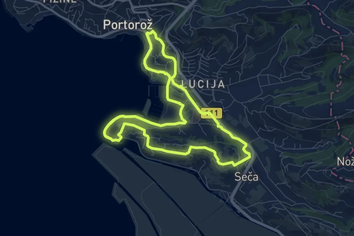
Medium · Trail
Seška pešpot
9.1 km · ↑ 87 m · 2 h 27 min · 7 km away
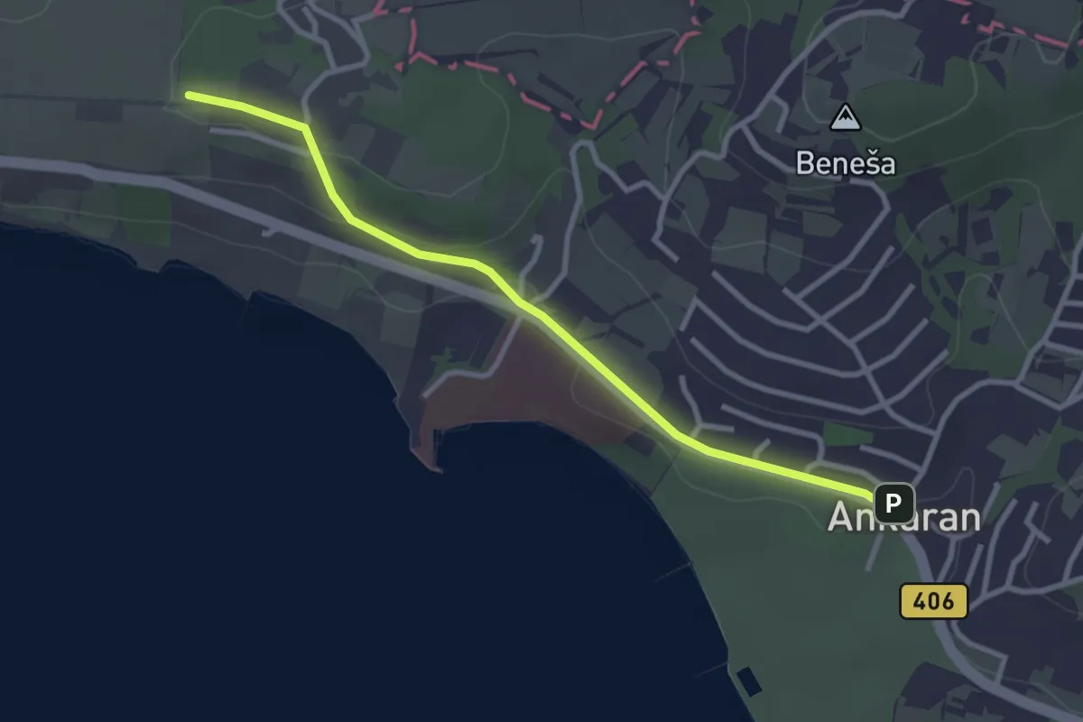
Easy · Summit
pohodniška pot Ankaran - Debeli rtič
3.1 km · ↑ 44 m · 49 min · 7 km away
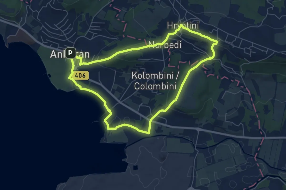
Easy · Summit
Beblerjeva pot
6.2 km · ↑ 161 m · 1 h 54 min · 7 km away
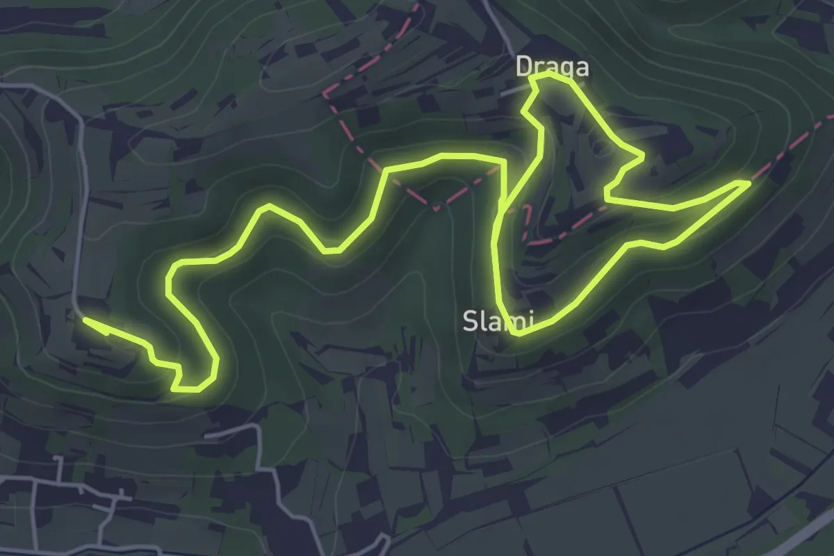
Medium · Summit
P17
8.7 km · ↑ 286 m · 2 h 41 min · 7 km away
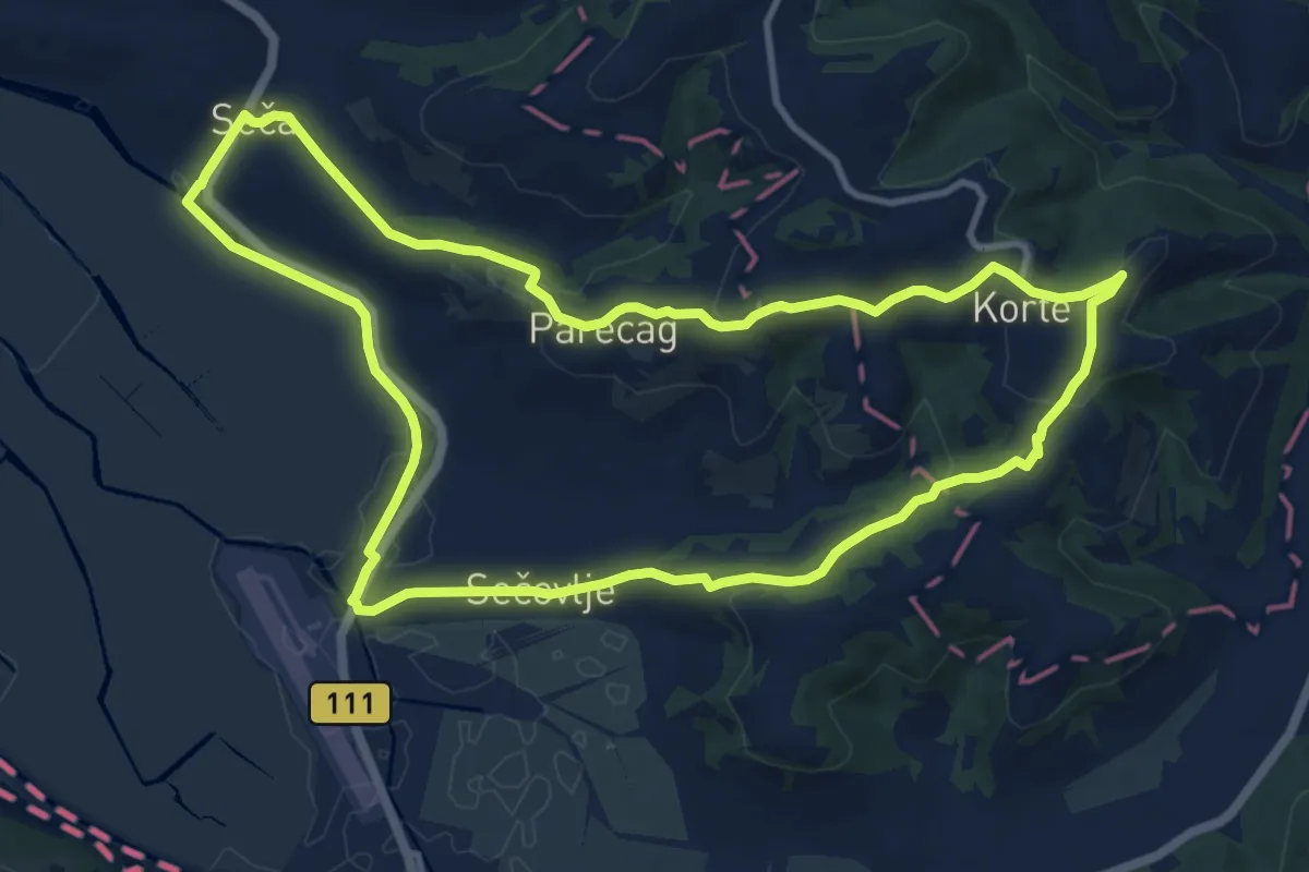
Medium · Summit
P16
11.8 km · ↑ 265 m · 3 h 31 min · 8 km away
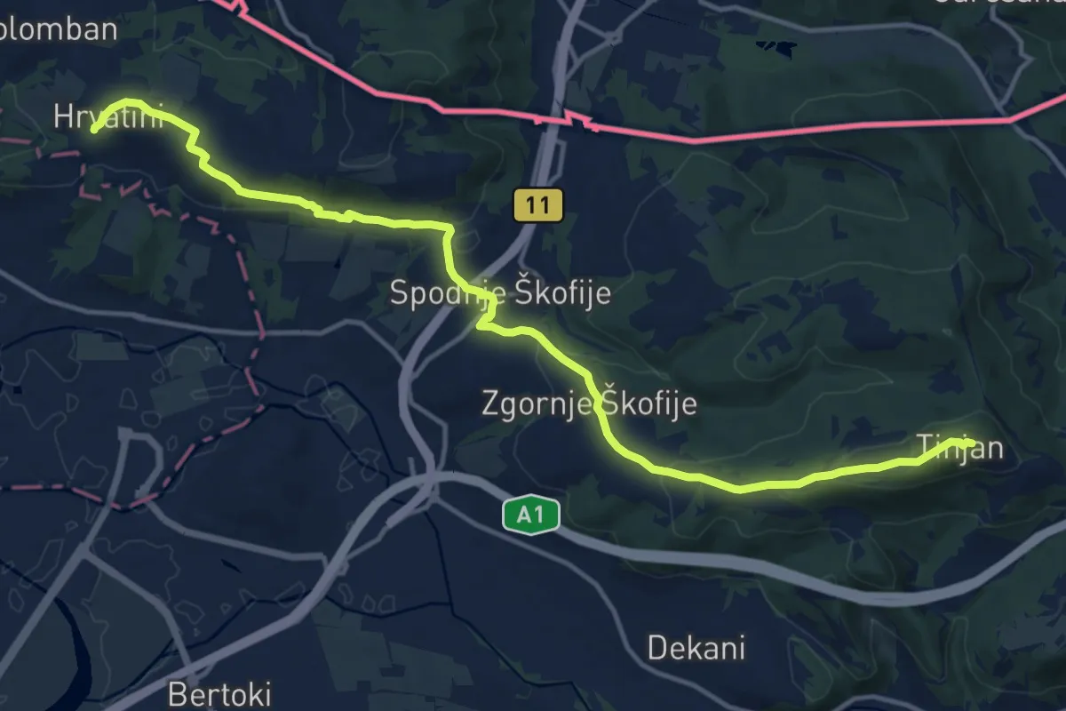
Medium · Summit
pohodniška pot Tinjan - Škofije - Hrvatini
16.5 km · ↑ 421 m · 4 h 49 min · 9 km away
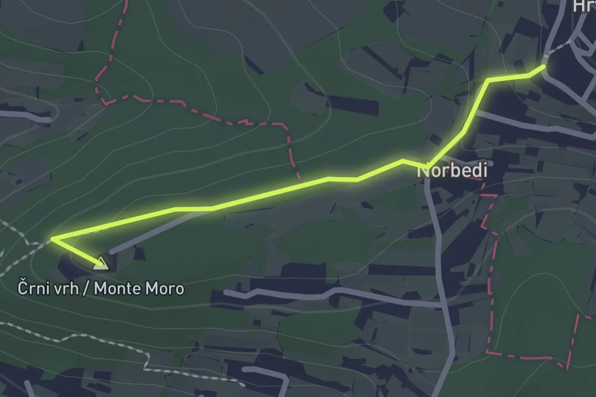
Easy · Summit
pohodniška pot Hrvatini - Ankaran
2.0 km · ↑ 69 m · 37 min · 9 km away
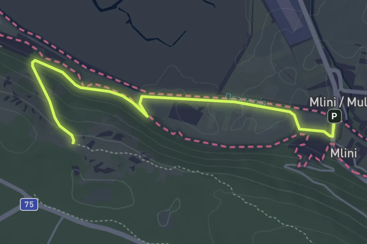
Medium · Trail
European footpath E12
4.9 km · ↑ 119 m · 1 h 24 min · 9 km away
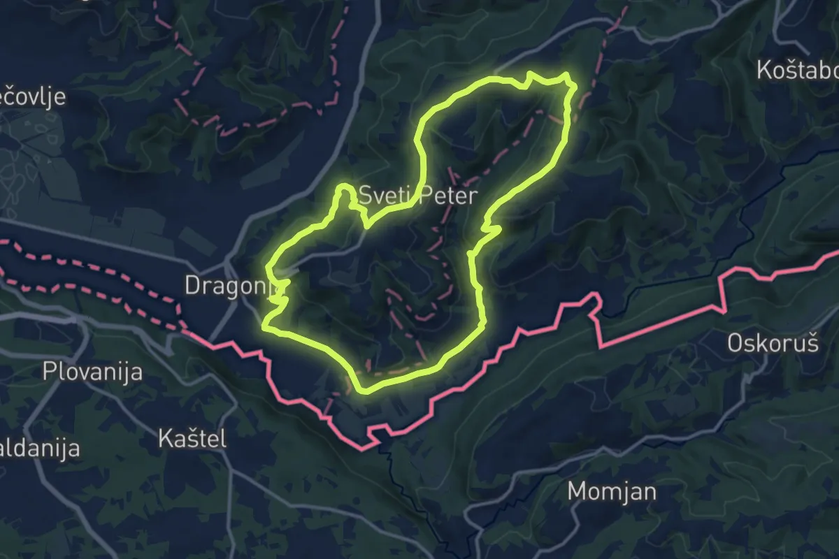
Medium · Summit
P19
12.7 km · ↑ 396 m · 4 h 2 min · 9 km away
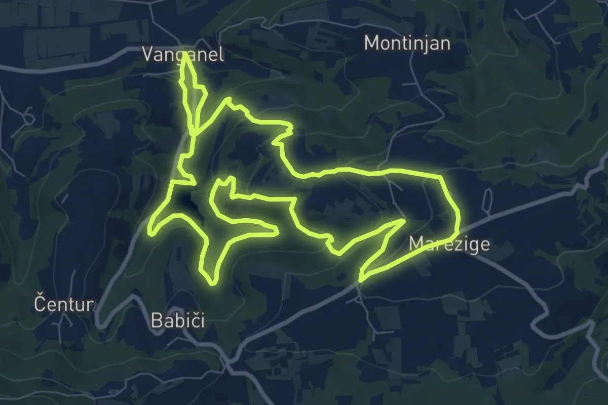
Medium · Trail
Pot za srce
9.1 km · ↑ 351 m · 3 h 3 min · 10 km away
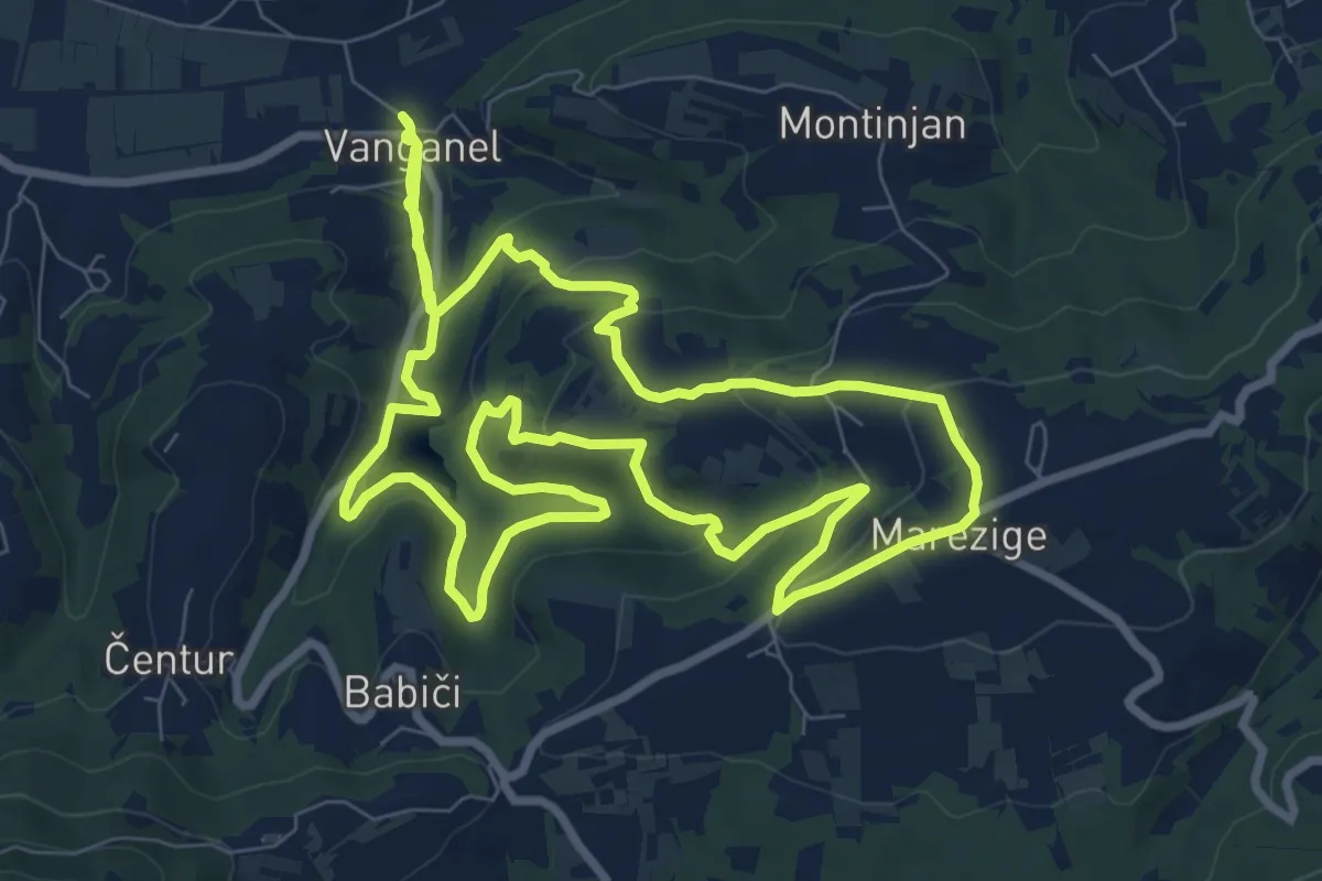
Demanding · Trail
P8
20.0 km · ↑ 752 m · 6 h 21 min · 10 km away
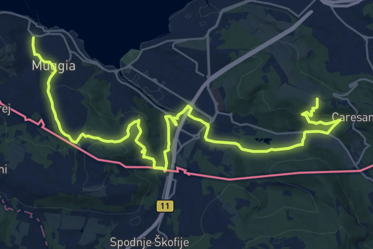
Demanding · Summit
Centro visite Val Rosandra – Muggia
23.2 km · ↑ 656 m · 6 h 54 min · 11 km away
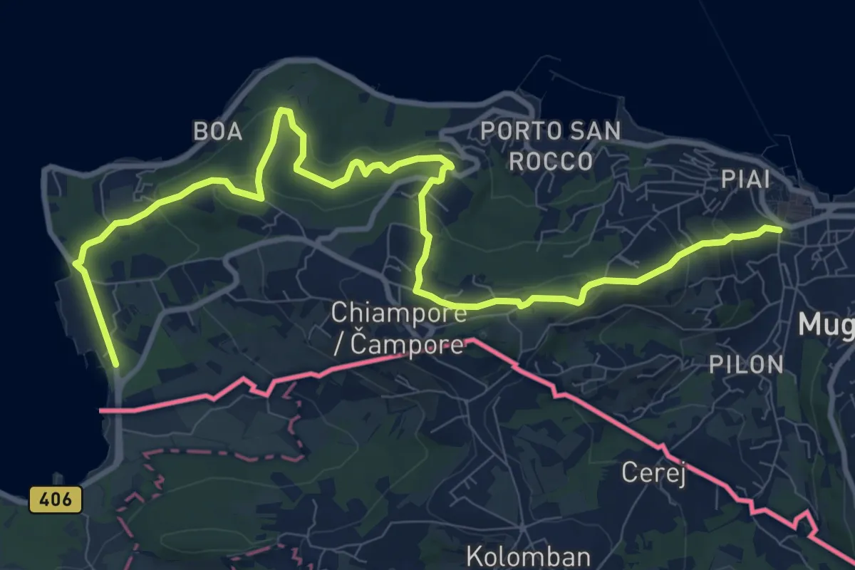
Medium · Trail
Muggia – San Bartolomeo
12.4 km · ↑ 497 m · 4 h · 11 km away
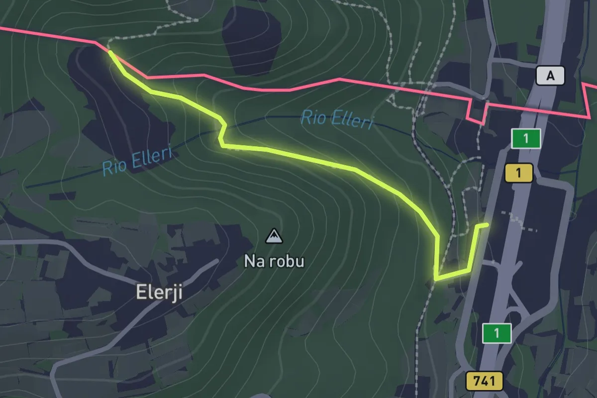
Easy · Trail
Sentiero dei Graničari - Ivan Jug
2.2 km · ↑ 122 m · 47 min · 11 km away
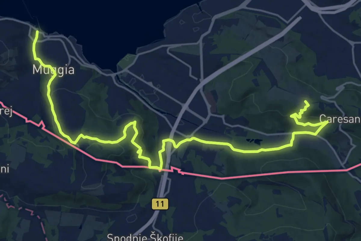
Demanding · Summit
Via Alpina Yellow B1
21.2 km · ↑ 650 m · 6 h 25 min · 11 km away
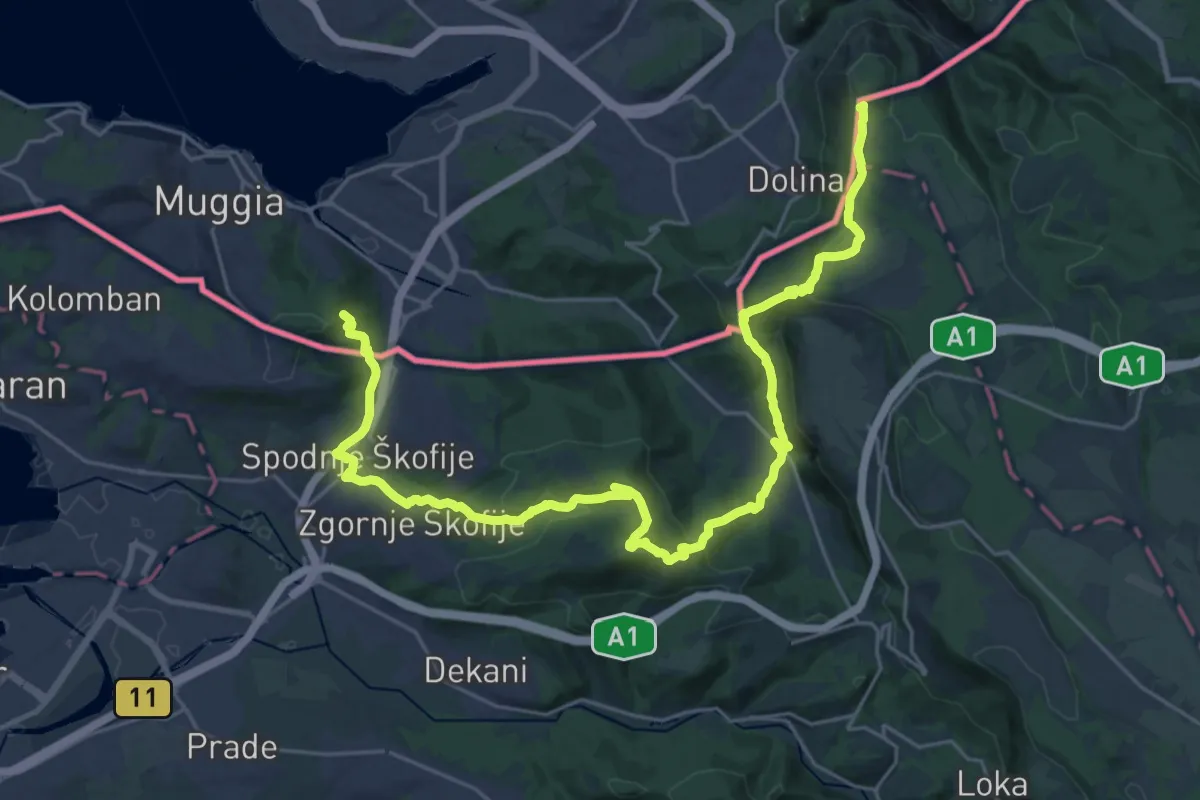
Demanding · Summit
Alpe Adria Trail E37
33.0 km · ↑ 1382 m · 10 h 47 min · 11 km away
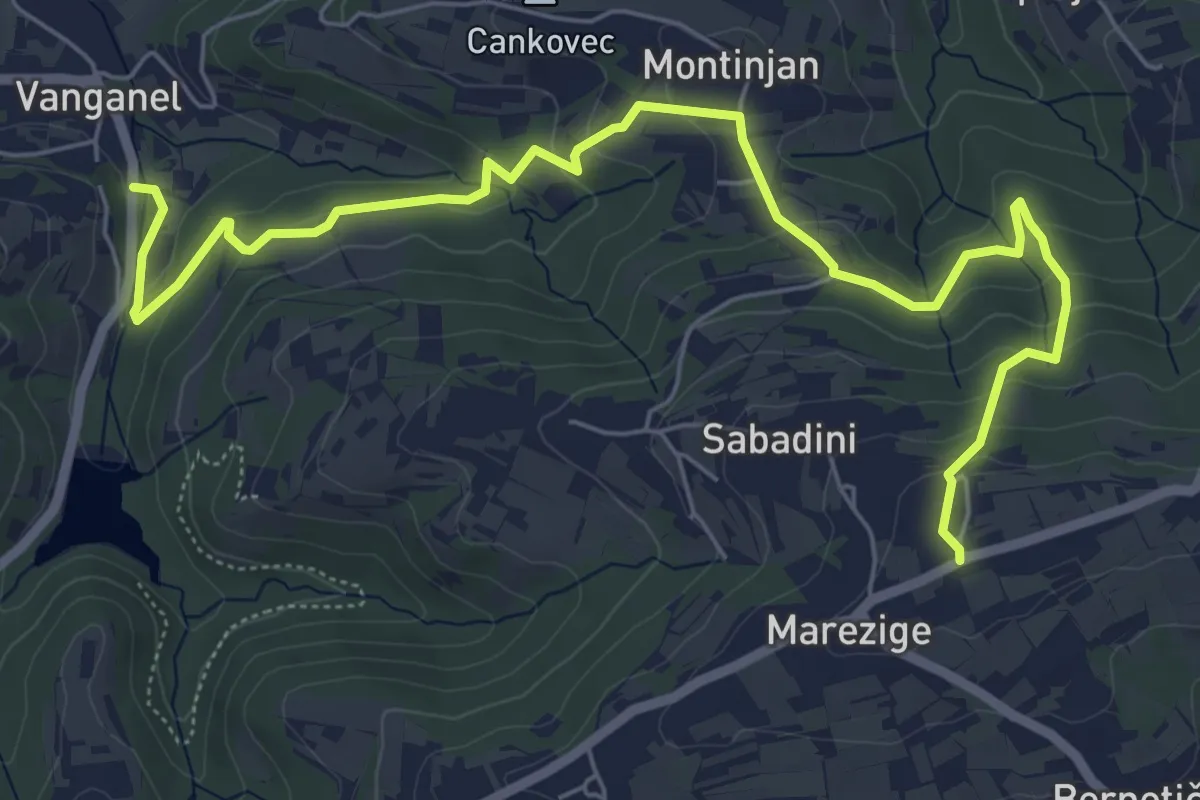
Medium · Trail
Pot za srce
8.0 km · ↑ 376 m · 2 h 42 min · 12 km away
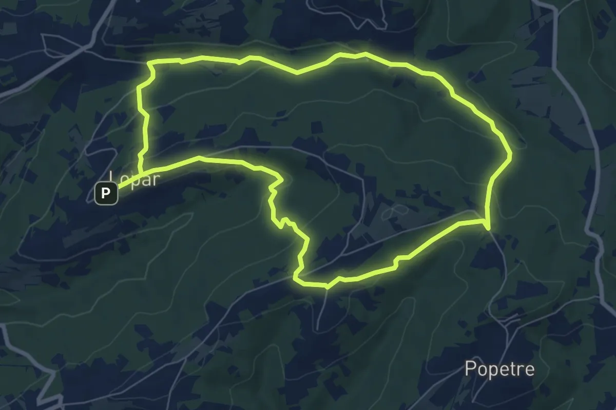
Easy · Trail
P7
7.2 km · ↑ 194 m · 2 h 13 min · 13 km away
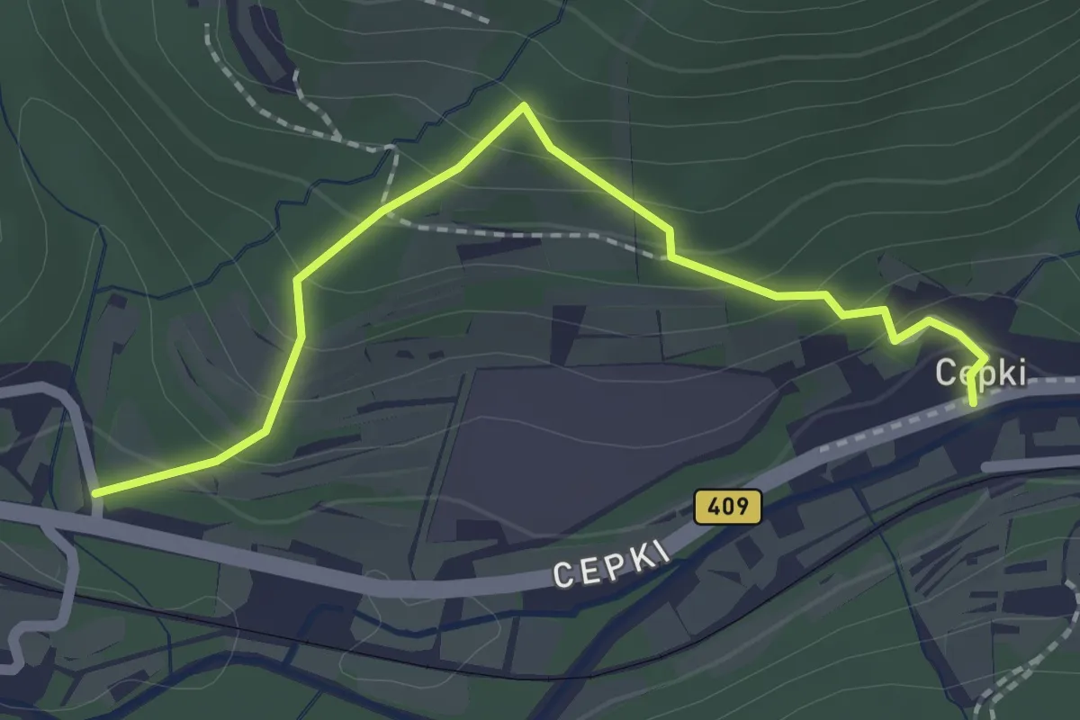
Easy · Trail
Pot za srce
2.1 km · ↑ 147 m · 49 min · 14 km away
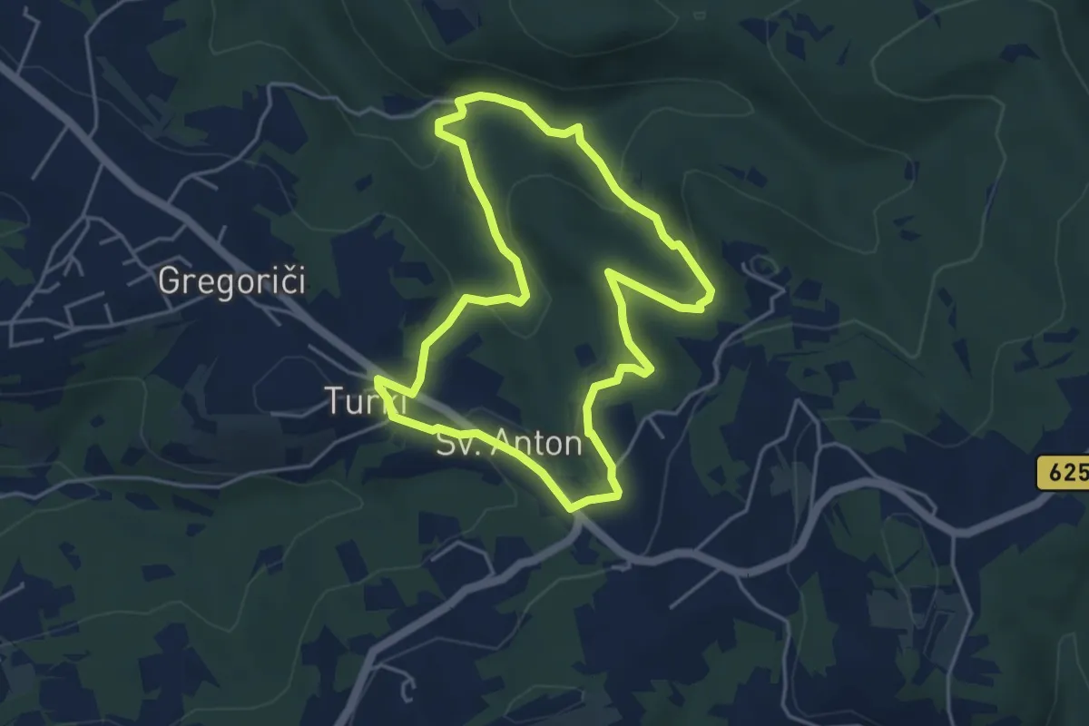
Easy · Trail
Pot za srce
4.2 km · ↑ 178 m · 1 h 27 min · 14 km away
Easy · Trail
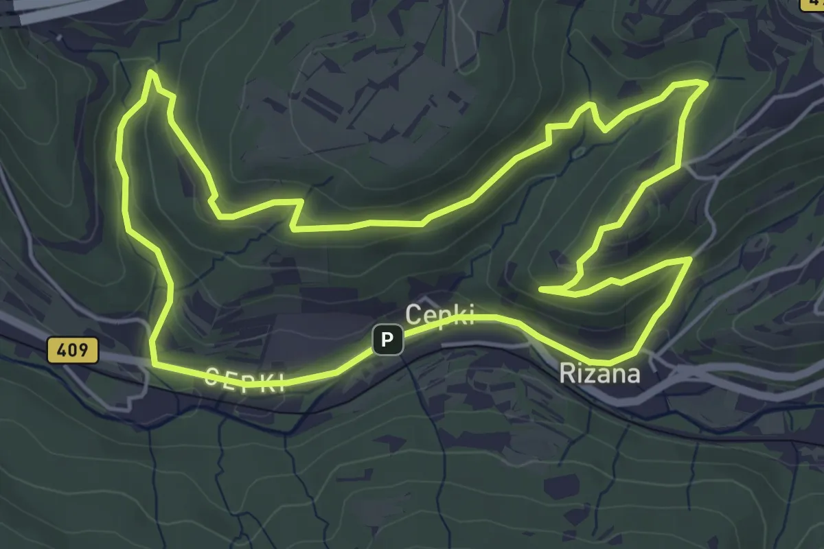
Pot za srce
5.6 km · ↑ 192 m · 1 h 48 min · 14 km away
Medium · Summit
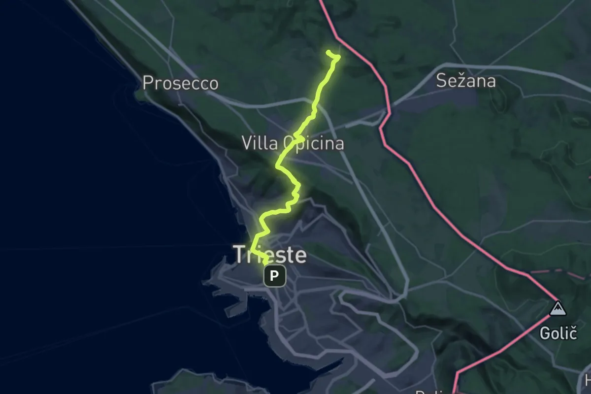
Jakobova pot – Primorska veja
13.0 km · ↑ 477 m · 4 h 6 min · 15 km away
Easy · Summit
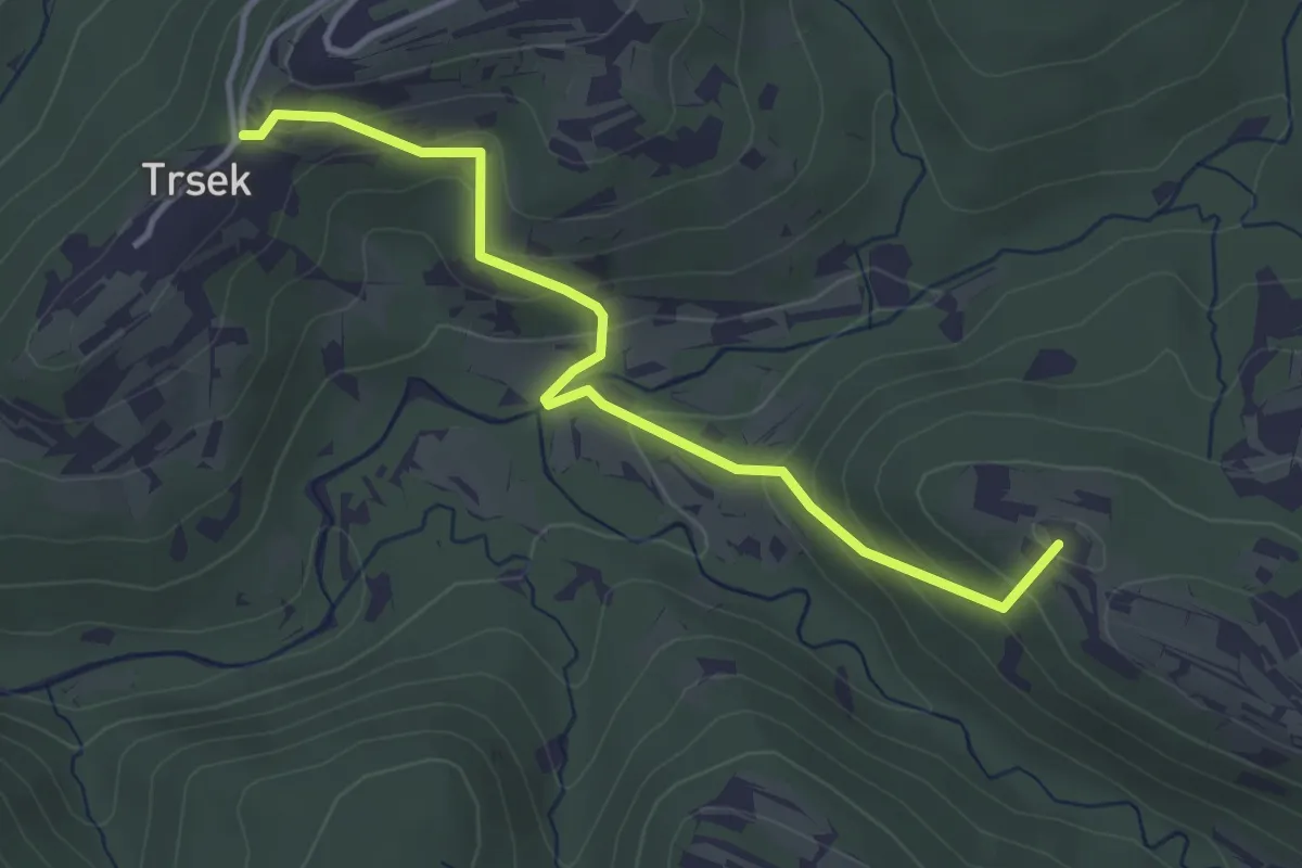
Pot za srce
3.8 km · ↑ 216 m · 1 h 22 min · 15 km away