Trails near Kostanjevica na Krki
53 hikes starting within 15 km, nearest first.
Nearest first, page 1 of 2
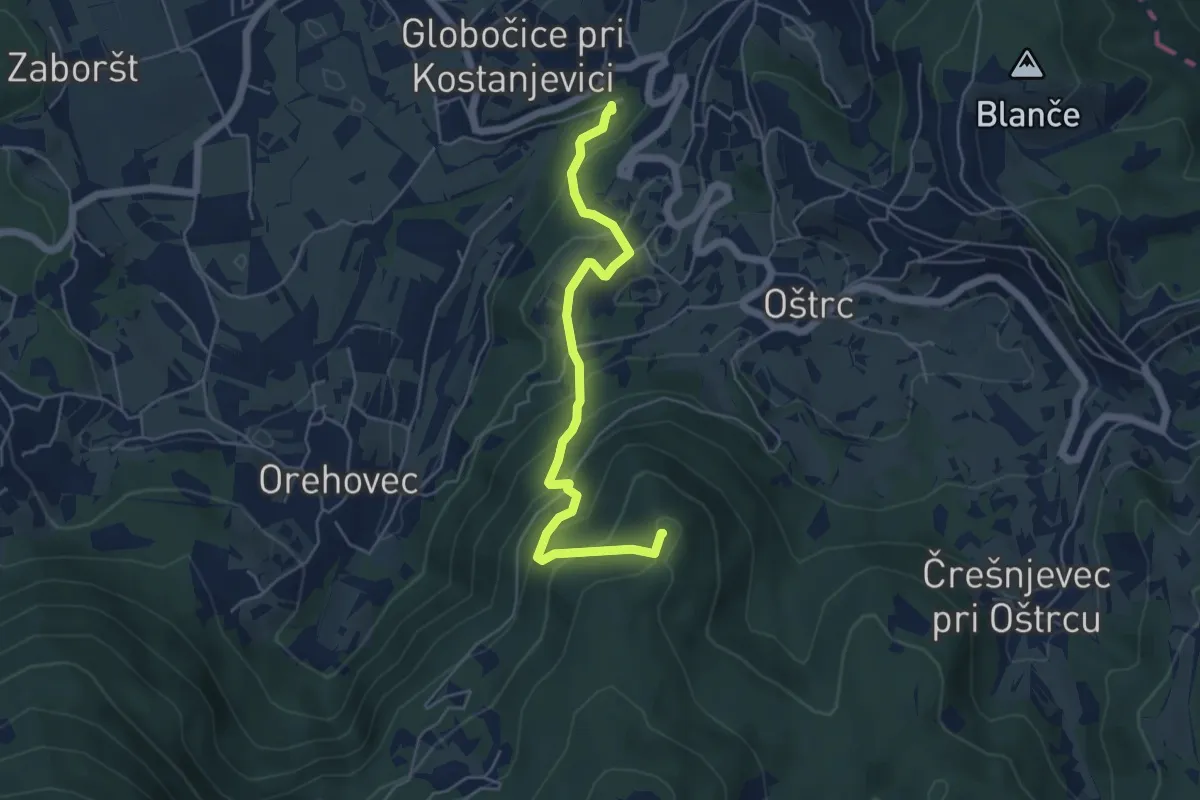
Medium · Summit
Kostanjeviška jama - Kičer
5.3 km · ↑ 399 m · 2 h 7 min · 1 km away
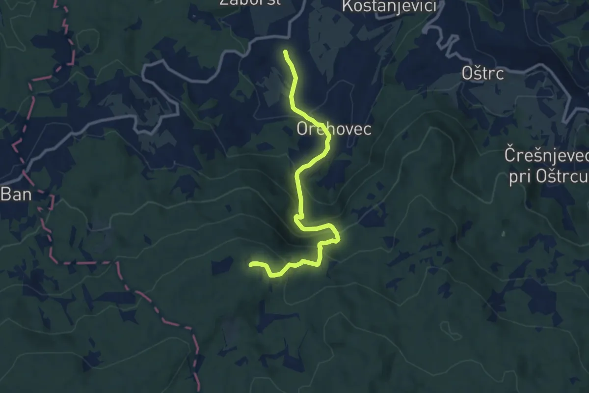
Medium · Trail
Kostanjevica - Orehovec - Štembuh
8.7 km · ↑ 589 m · 3 h 20 min · 1 km away
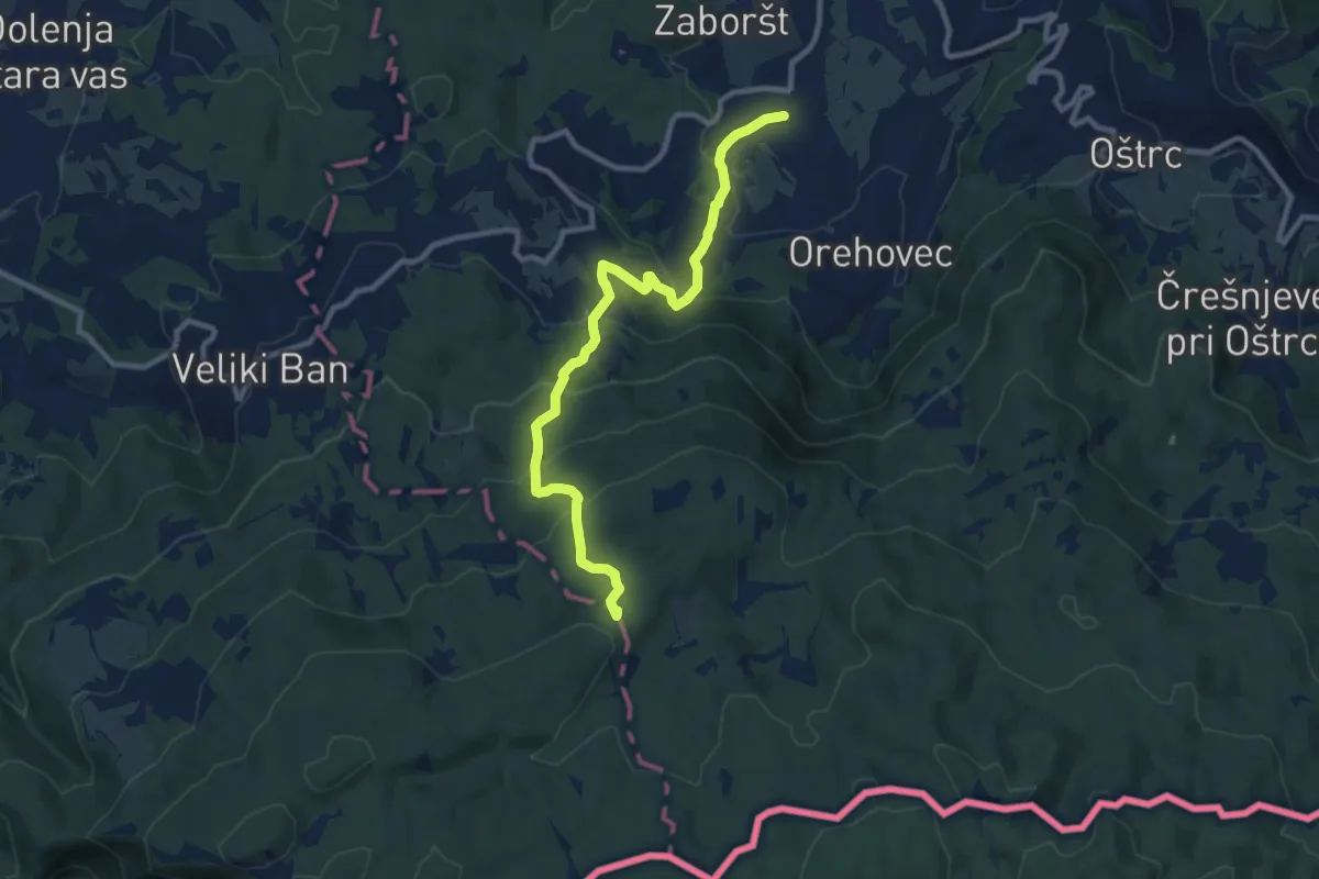
Medium · Trail
Kostanjevica - Mirčev križ
10.3 km · ↑ 640 m · 3 h 50 min · 1 km away
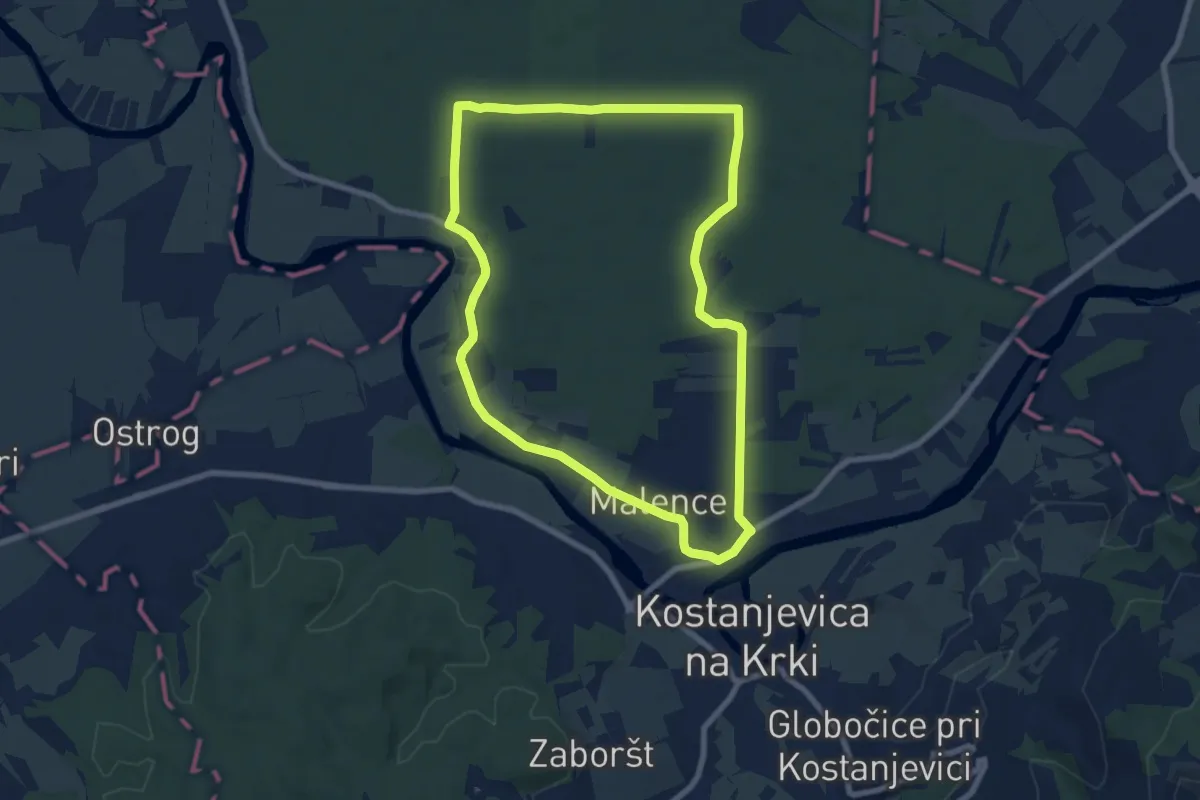
Easy · Trail
Ressljeva gozdna učna pot
7.9 km · ↑ 22 m · 2 h 1 min · 2 km away
Easy · Trail
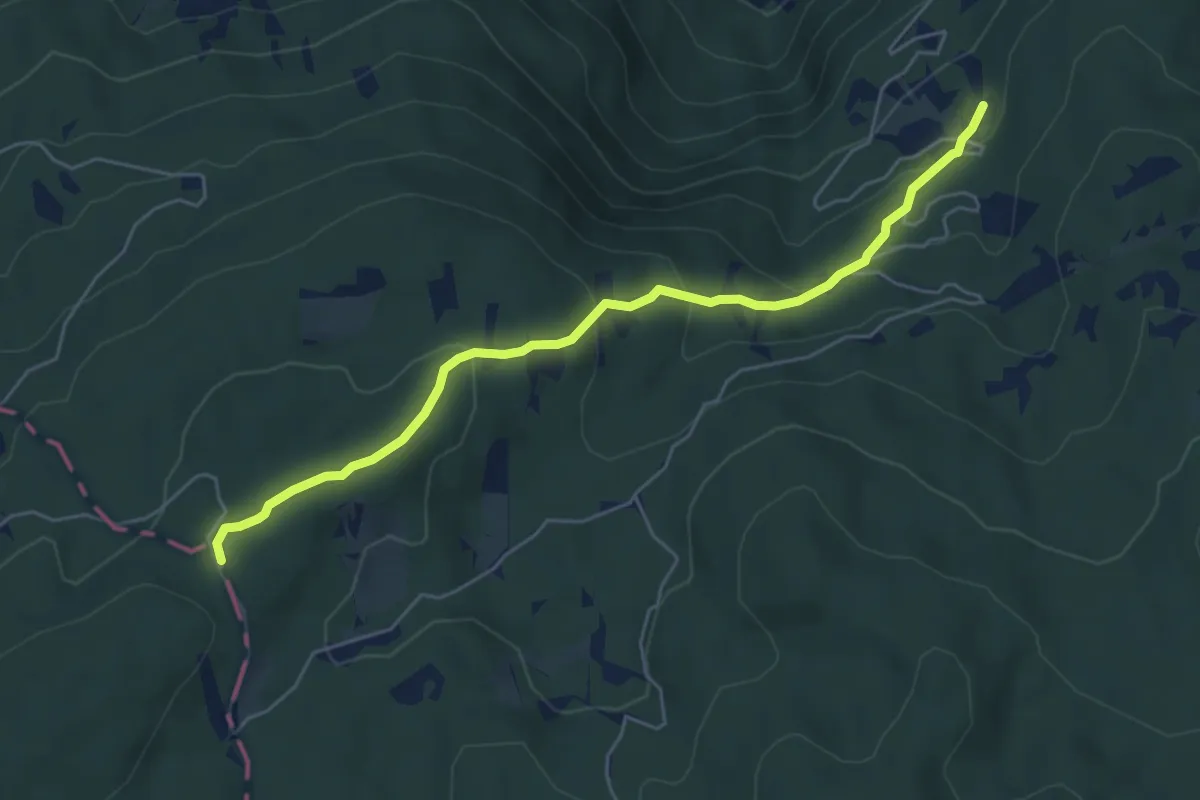
Lovska koča - Mirčev križ
5.7 km · ↑ 280 m · 1 h 56 min · 3 km away
Demanding · Trail
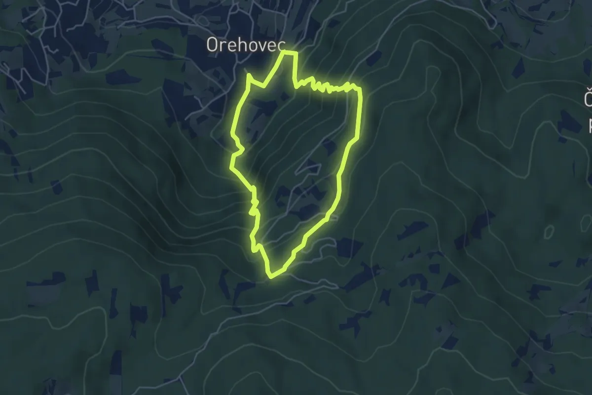
Rutenska pot
4.4 km · ↑ 405 m · 1 h 59 min · 3 km away
Easy · Trail
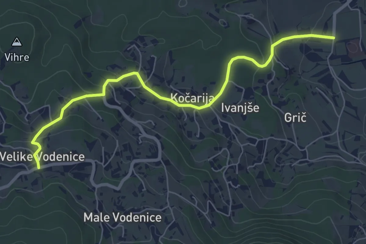
Kostanjevica - Vodenice
6.2 km · ↑ 231 m · 1 h 57 min · 3 km away
Medium · Summit
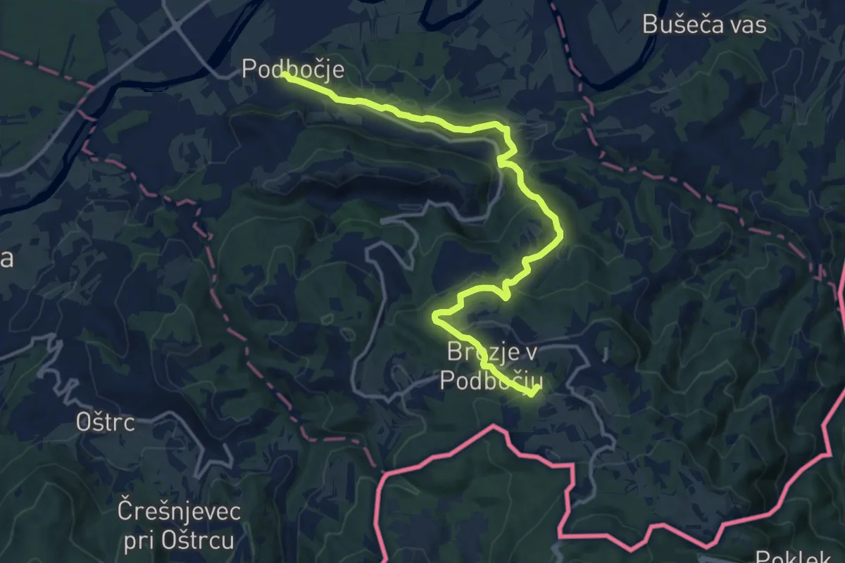
Podbočje - Hrastek - Planina
14.4 km · ↑ 618 m · 4 h 45 min · 4 km away
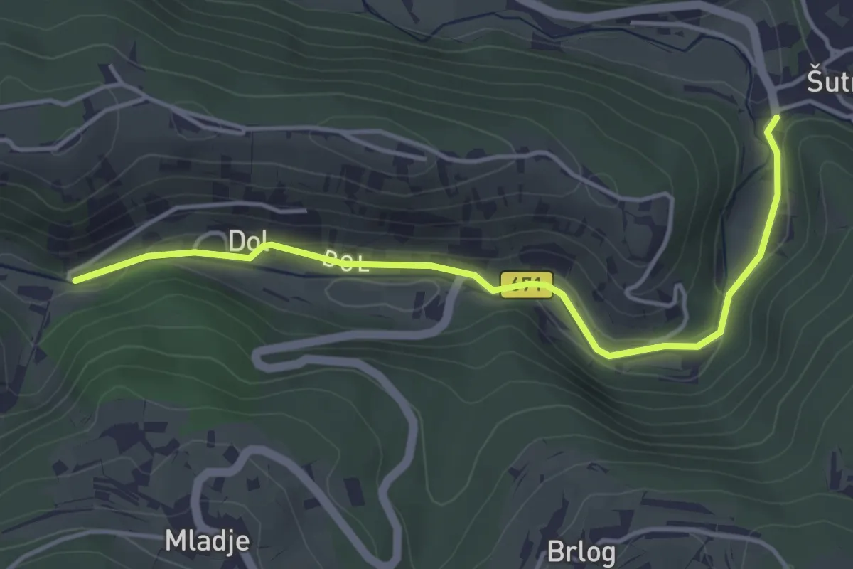
Easy · Trail
Dol - Šutna
4.4 km · ↑ 50 m · 1 h 8 min · 6 km away
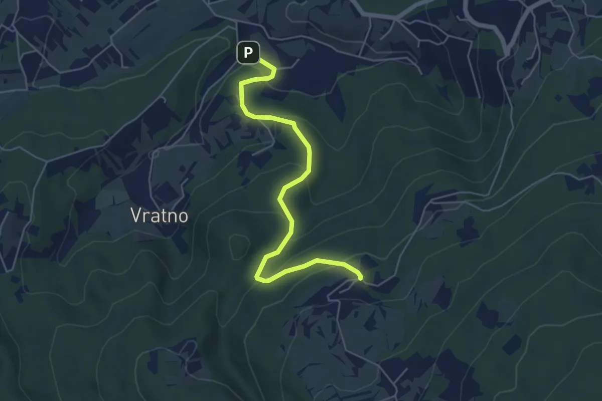
Easy · Trail
Pleterje - Javorovica
5.0 km · ↑ 284 m · 1 h 48 min · 6 km away
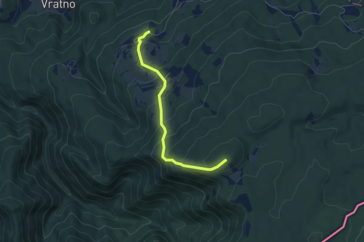
Medium · Summit
Javorovica - Pirčev hrib
5.3 km · ↑ 418 m · 2 h 10 min · 6 km away
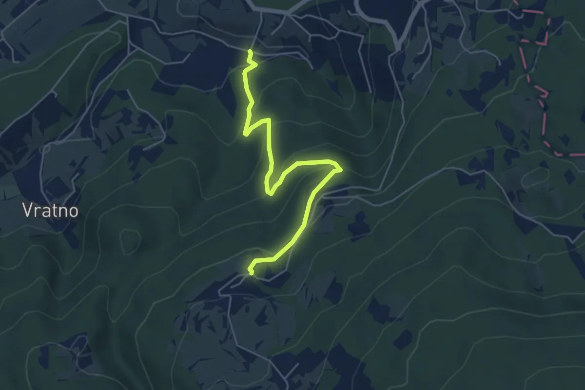
Easy · Trail
Drča - Javorovica
4.8 km · ↑ 278 m · 1 h 45 min · 6 km away
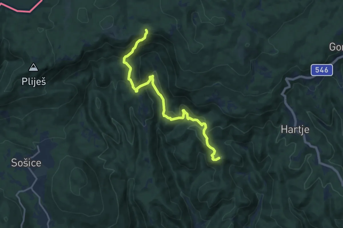
Medium · Summit
Bernardići - Slap Sopot
10.7 km · ↑ 603 m · 3 h 50 min · 8 km away
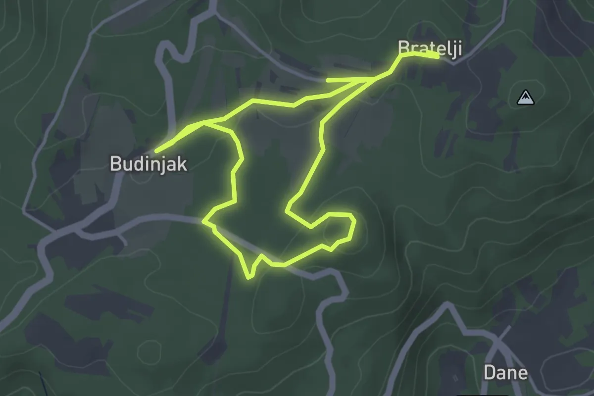
Easy · Trail
Staza kneževa
6.5 km · ↑ 126 m · 1 h 48 min · 9 km away
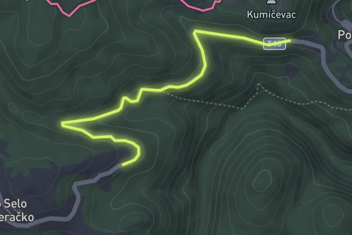
Easy · Trail
Kravljak - Stojdraga
4.7 km · ↑ 127 m · 1 h 23 min · 9 km away
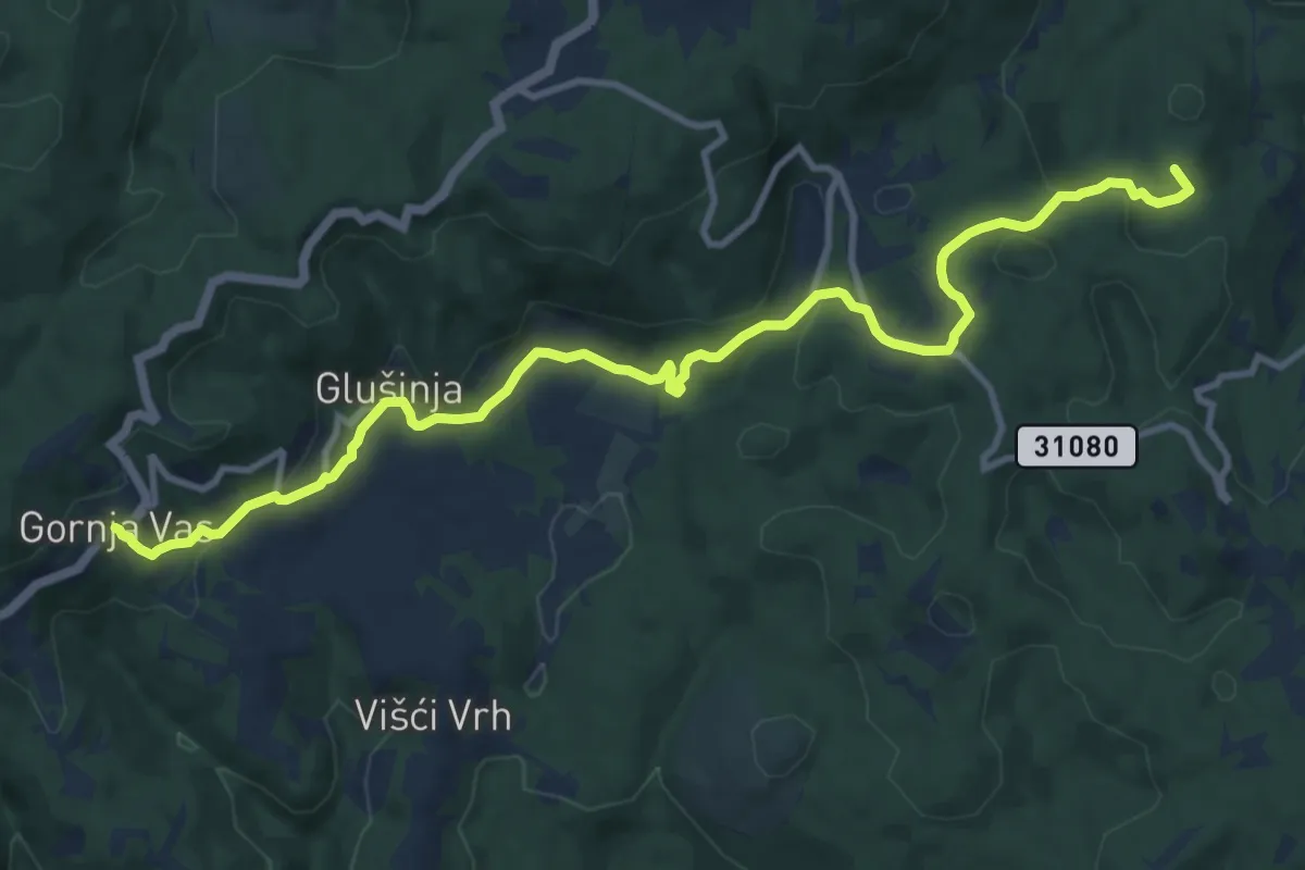
Medium · Summit
Koretići - Gornja Vas
12.6 km · ↑ 420 m · 3 h 53 min · 9 km away
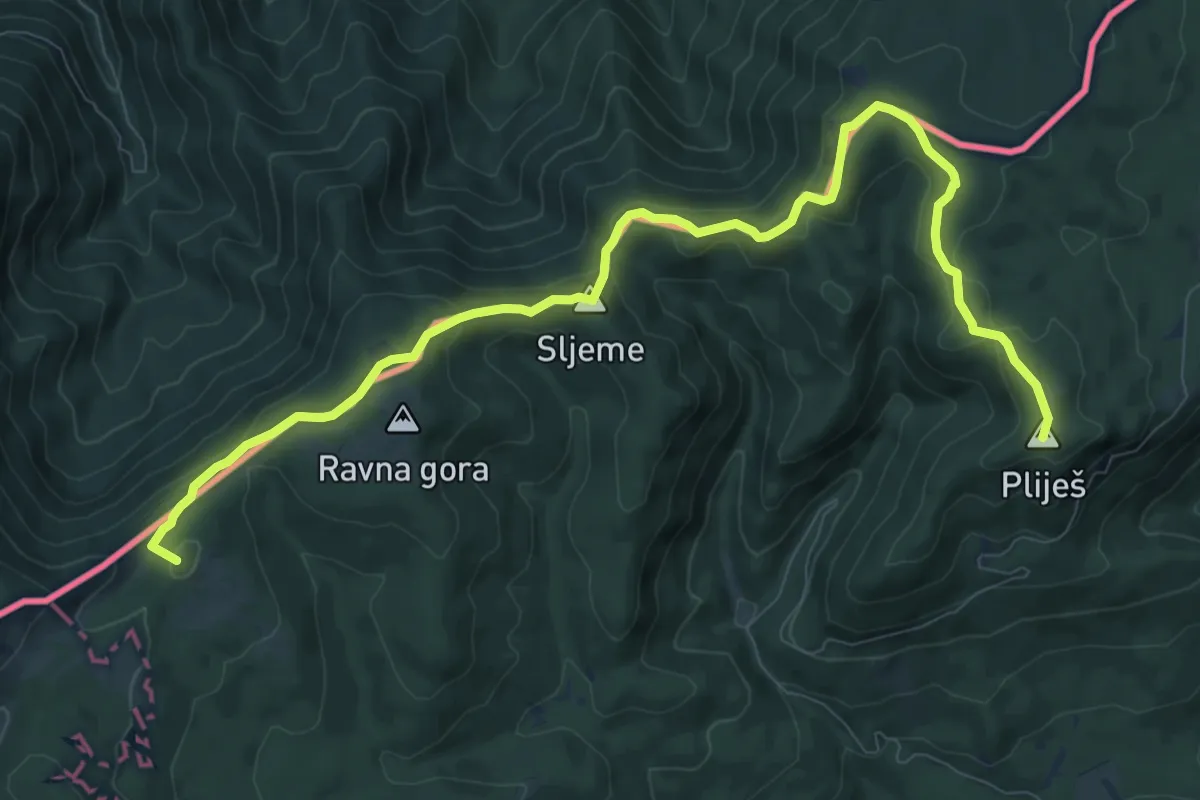
Medium · Summit
Vodice - Maličev krč
11.6 km · ↑ 333 m · 3 h 28 min · 9 km away
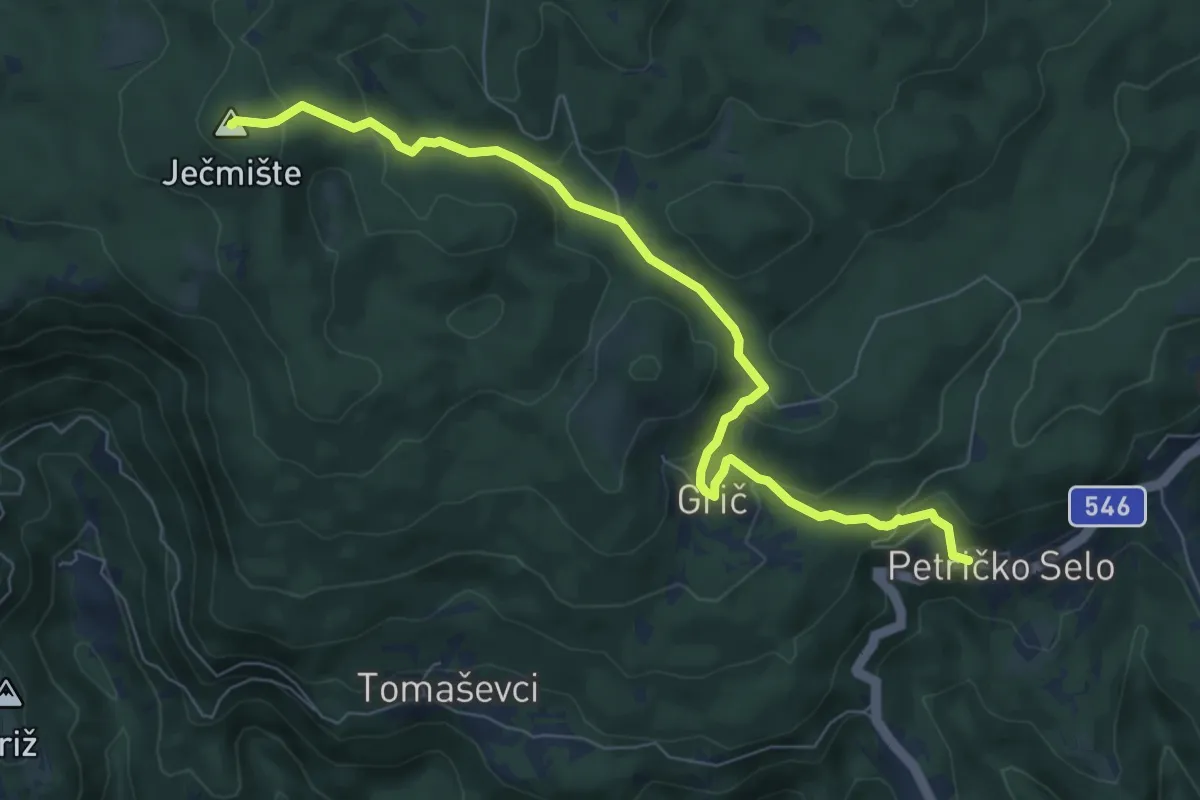
Medium · Summit
Gornja Vas - Jećmište
7.9 km · ↑ 332 m · 2 h 35 min · 9 km away
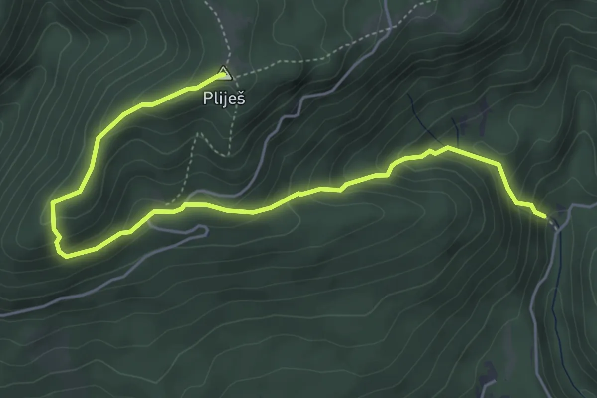
Medium · Summit
Slap Sopot - Pliješ
5.8 km · ↑ 388 m · 2 h 13 min · 9 km away
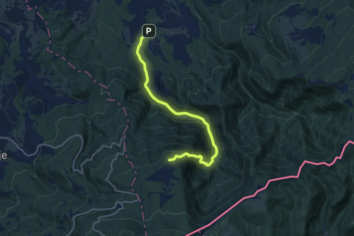
Medium · Cabin
Cerov Log - Sv. Miklavž (po cesti)
10.5 km · ↑ 748 m · 4 h 6 min · 9 km away
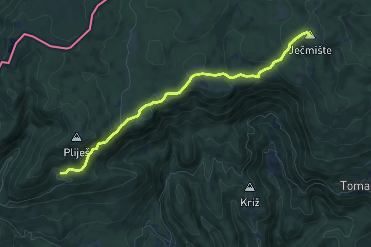
Medium · Summit
Vodice - Ječmište
8.3 km · ↑ 416 m · 2 h 51 min · 10 km away
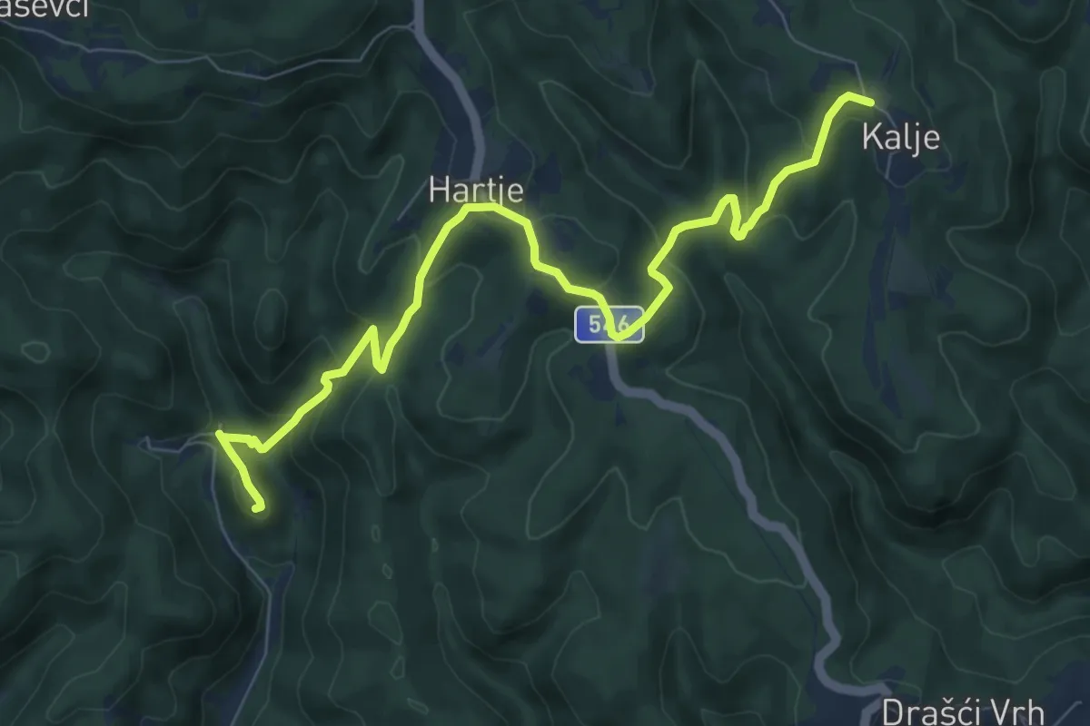
Medium · Trail
Bernardići - Kalje
8.9 km · ↑ 513 m · 3 h 13 min · 10 km away
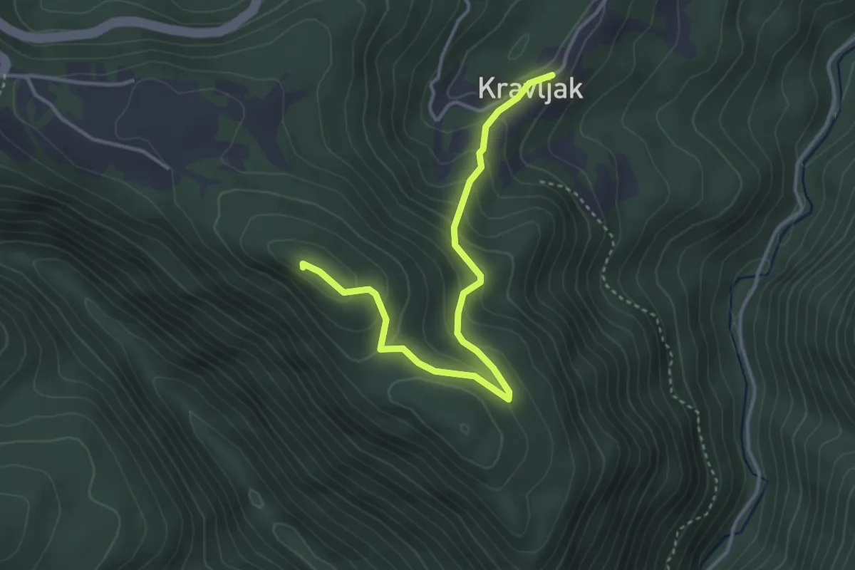
Medium · Summit
Kravljak - Poklek
3.9 km · ↑ 240 m · 1 h 26 min · 11 km away
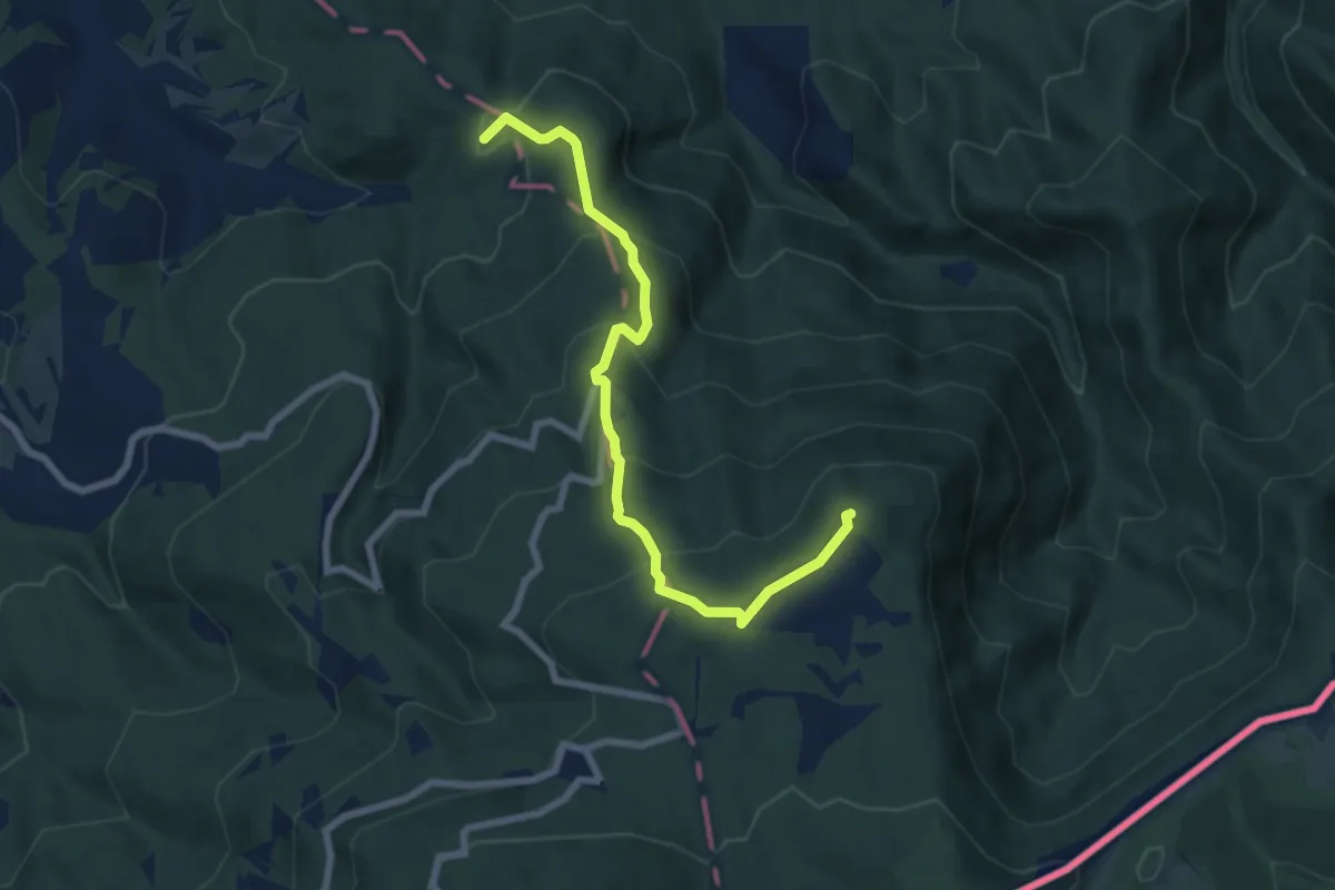
Medium · Summit
Cerov Log - Sv. Miklavž
7.5 km · ↑ 488 m · 2 h 49 min · 11 km away
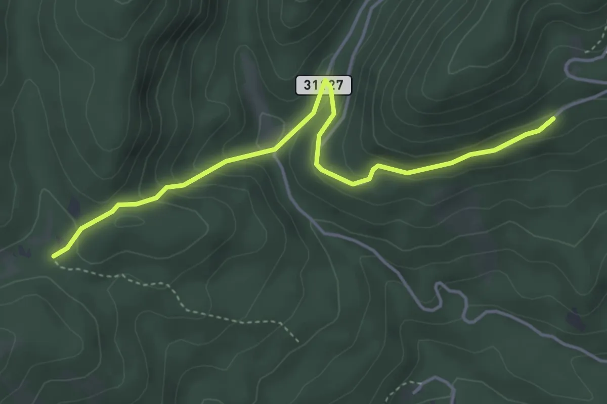
Easy · Trail
Vodice - Boljara
4.4 km · ↑ 235 m · 1 h 33 min · 11 km away
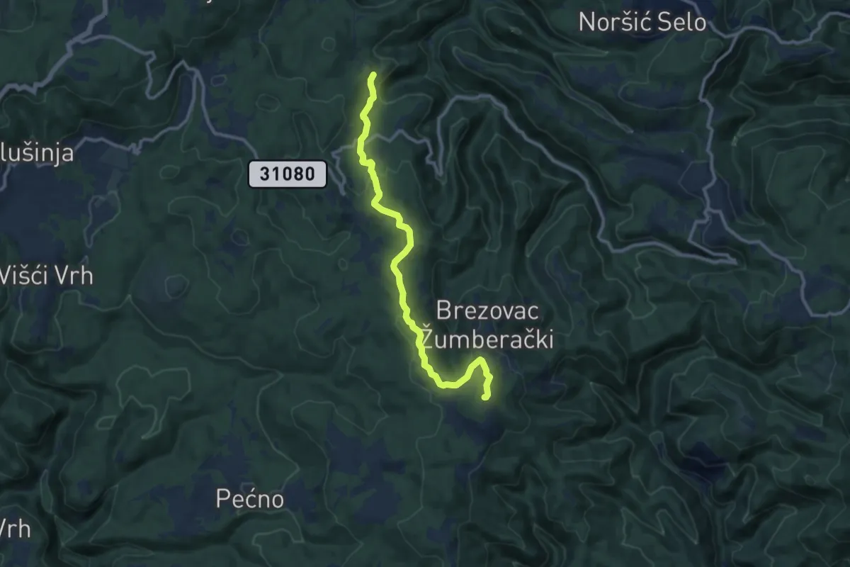
Medium · Summit
Šimraki - Zečak
10.5 km · ↑ 341 m · 3 h 13 min · 11 km away
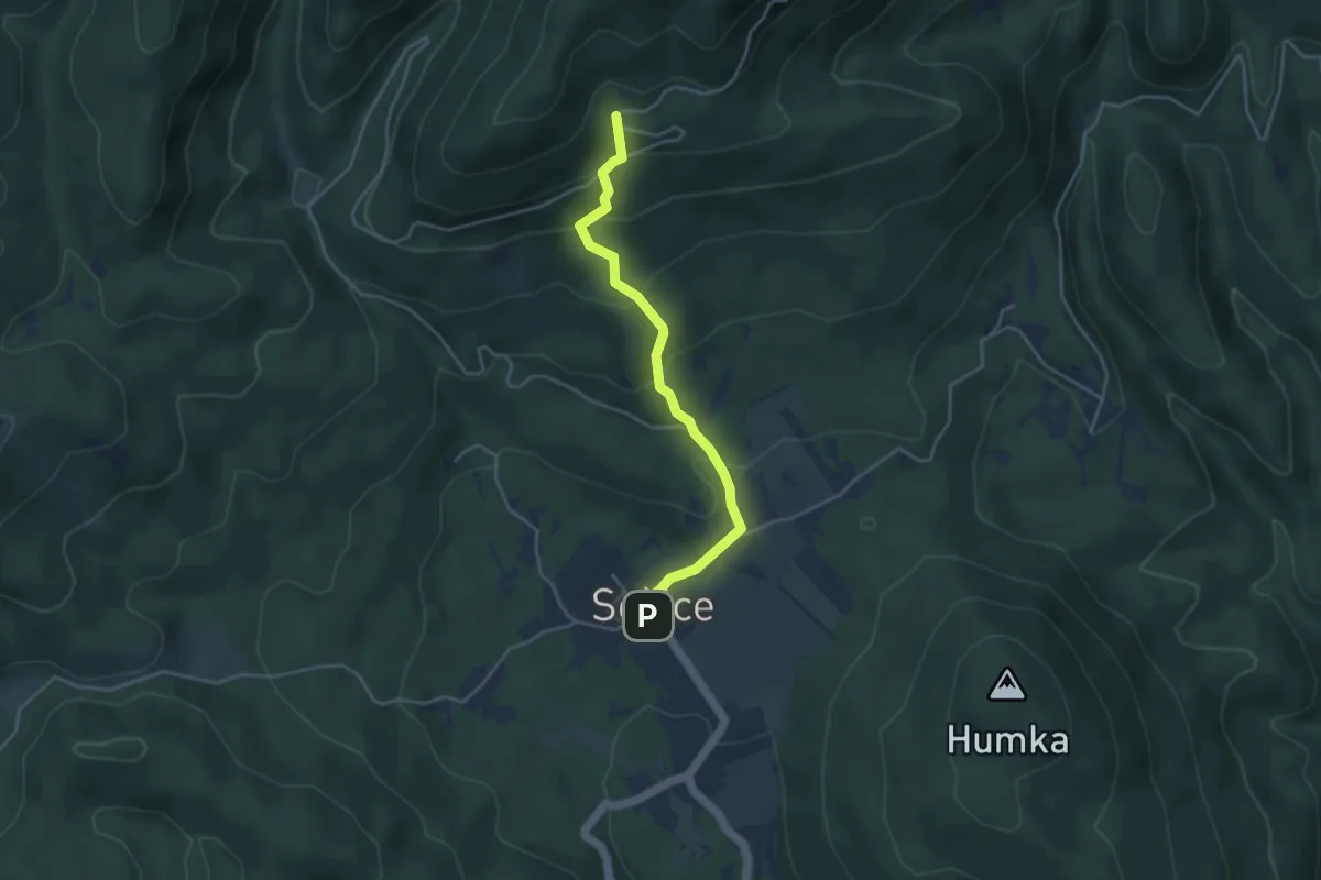
Easy · Cabin
Sošice - Vodice
3.9 km · ↑ 263 m · 1 h 29 min · 11 km away
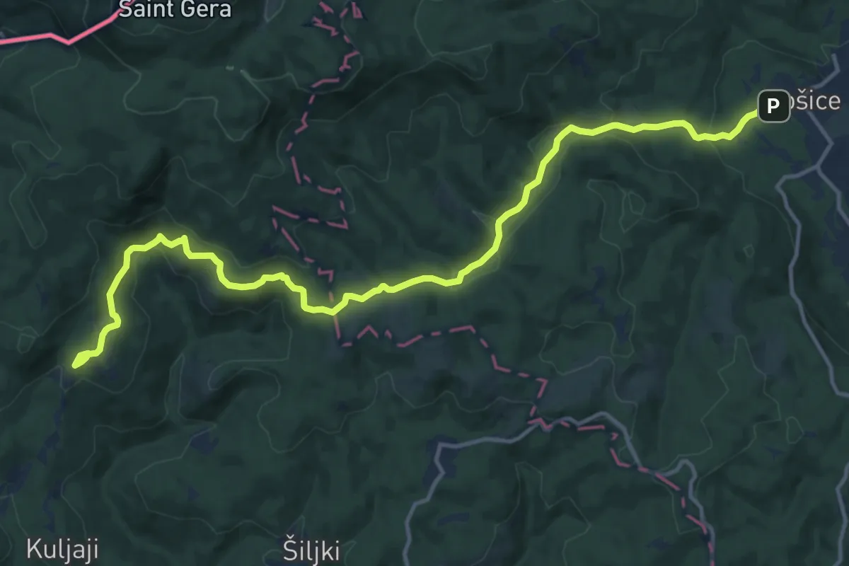
Medium · Trail
Sošice - Sekulići
15.8 km · ↑ 570 m · 4 h 58 min · 11 km away
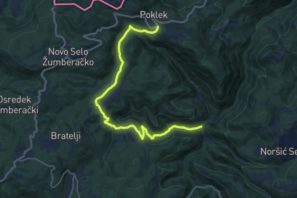
Medium · Trail
Koretići - Poklek
13.4 km · ↑ 595 m · 4 h 27 min · 11 km away
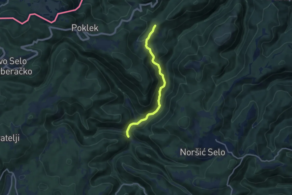
Medium · Trail
Koretići - Kravljak
7.5 km · ↑ 366 m · 2 h 34 min · 11 km away
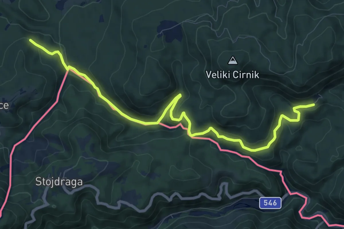
Easy · Pilgrim path
Jakobova pot – Dolenjska veja
6.1 km · ↑ 289 m · 2 h 5 min · 11 km away
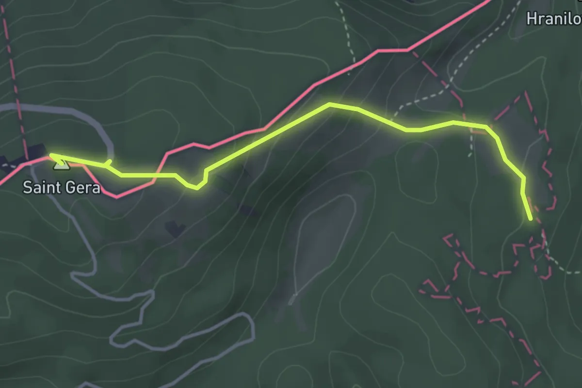
Medium · Summit
Sošice - Boići - Sv. Gera
3.6 km · ↑ 178 m · 1 h 14 min · 12 km away
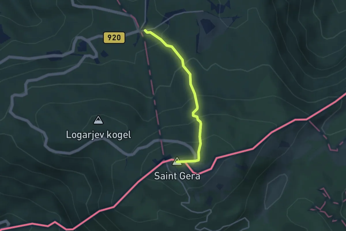
Easy · Summit
Krvavi kamen - Trdinov vrh
2.9 km · ↑ 241 m · 1 h 12 min · 12 km away
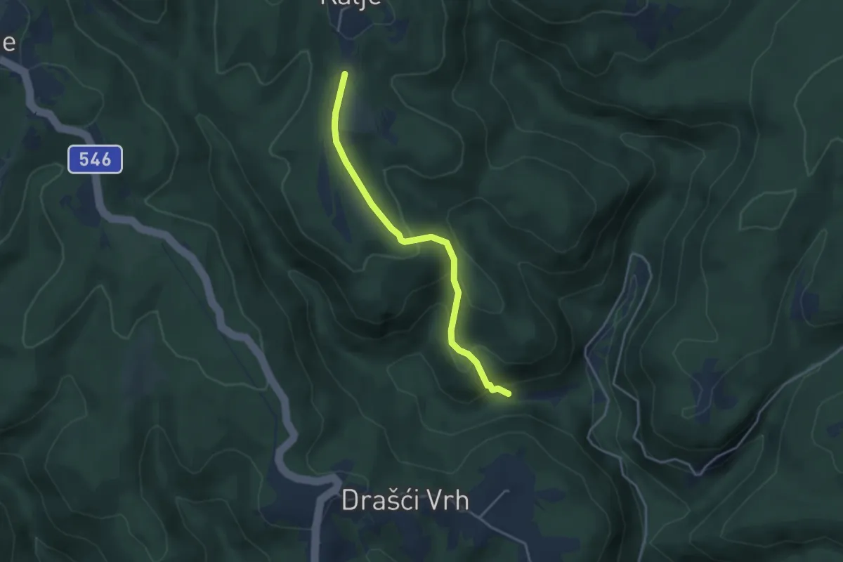
Easy · Trail
Slapnica - Kalje
3.4 km · ↑ 202 m · 1 h 15 min · 12 km away
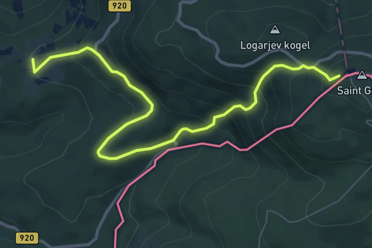
Medium · Summit
Dolž - Trdinov vrh
7.7 km · ↑ 501 m · 2 h 54 min · 13 km away
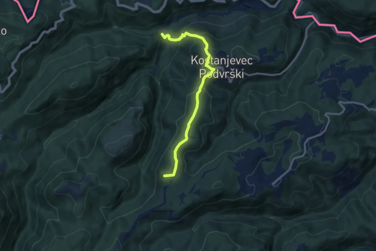
Medium · Summit
Osredek - Beder
6.9 km · ↑ 370 m · 2 h 25 min · 13 km away
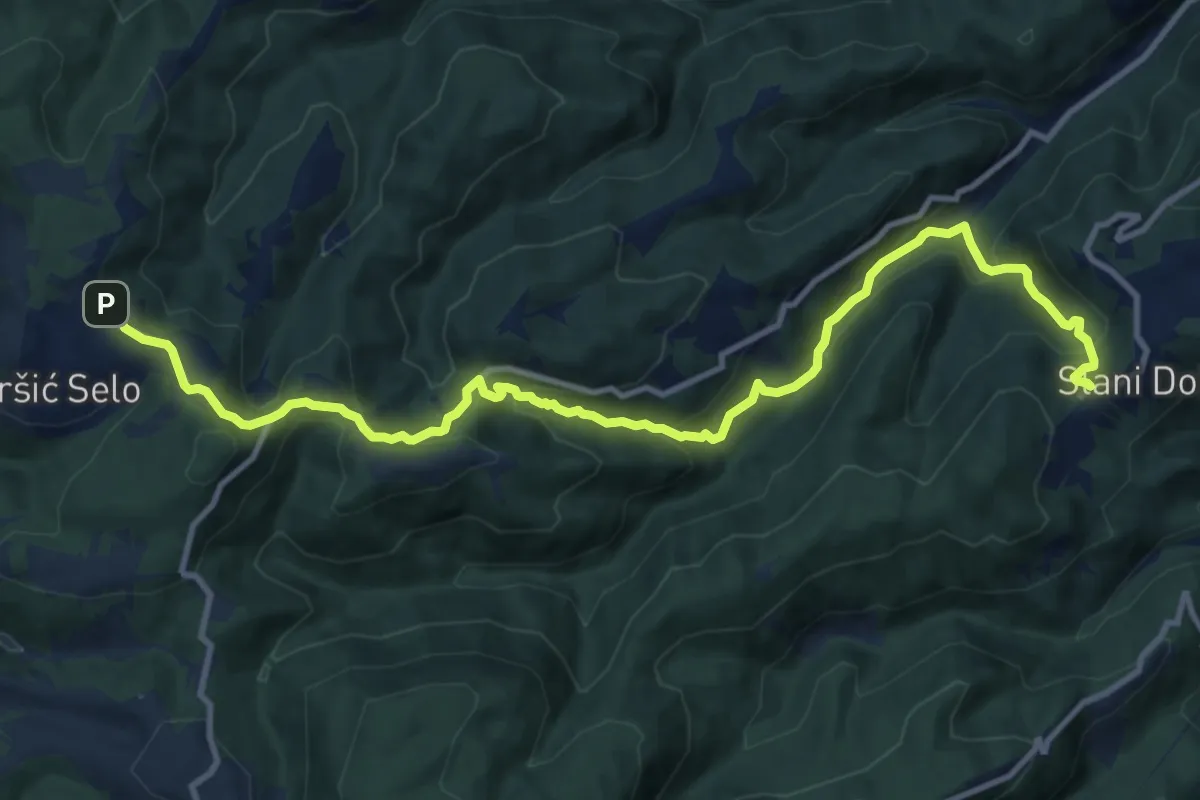
Medium · Trail
Slani dol - Noršić Selo
13.2 km · ↑ 794 m · 4 h 50 min · 13 km away
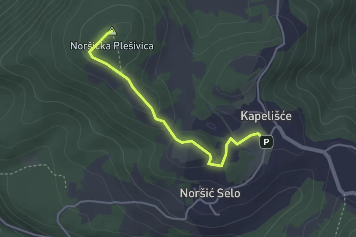
Easy · Summit
Noršić Selo - N. Plešivica
2.9 km · ↑ 86 m · 53 min · 13 km away
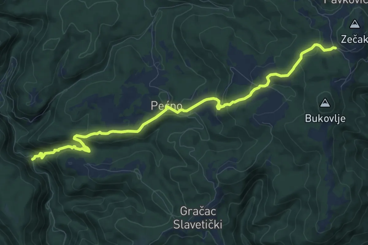
Medium · Trail
Zečak - Slap Brisalo
11.7 km · ↑ 485 m · 3 h 49 min · 13 km away
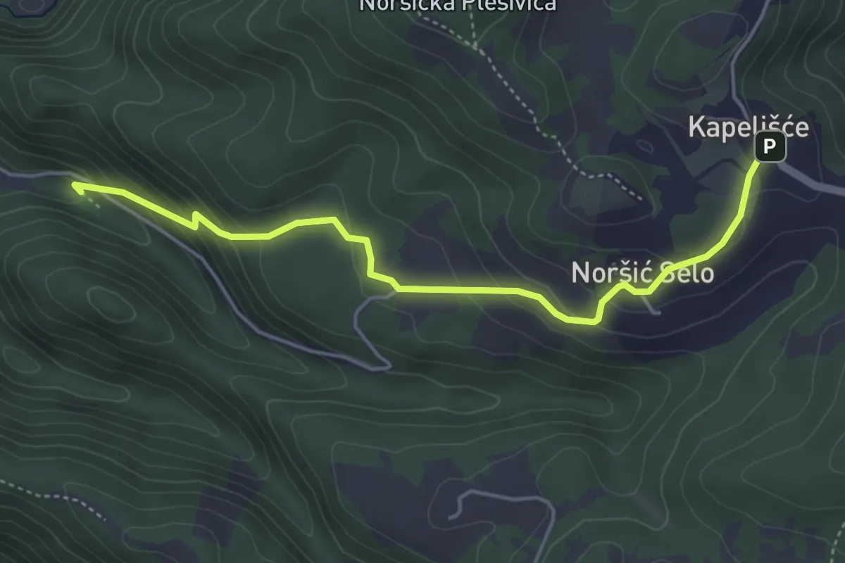
Medium · Cabin
Koretići - Noršić Selo
4.7 km · ↑ 259 m · 1 h 41 min · 13 km away
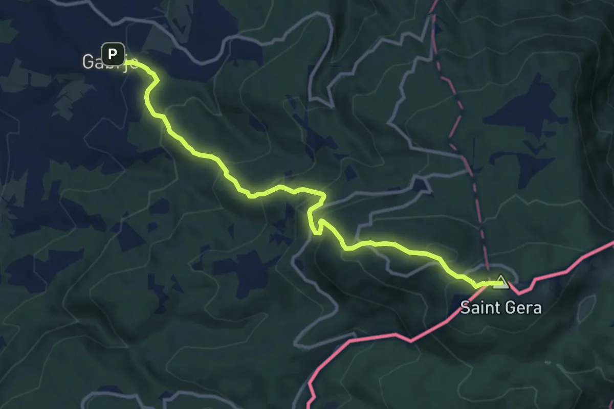
Demanding · Summit
Gabrje - Pl. dom pri Gospodični - Trdinov vrh
10.7 km · ↑ 839 m · 4 h 20 min · 14 km away
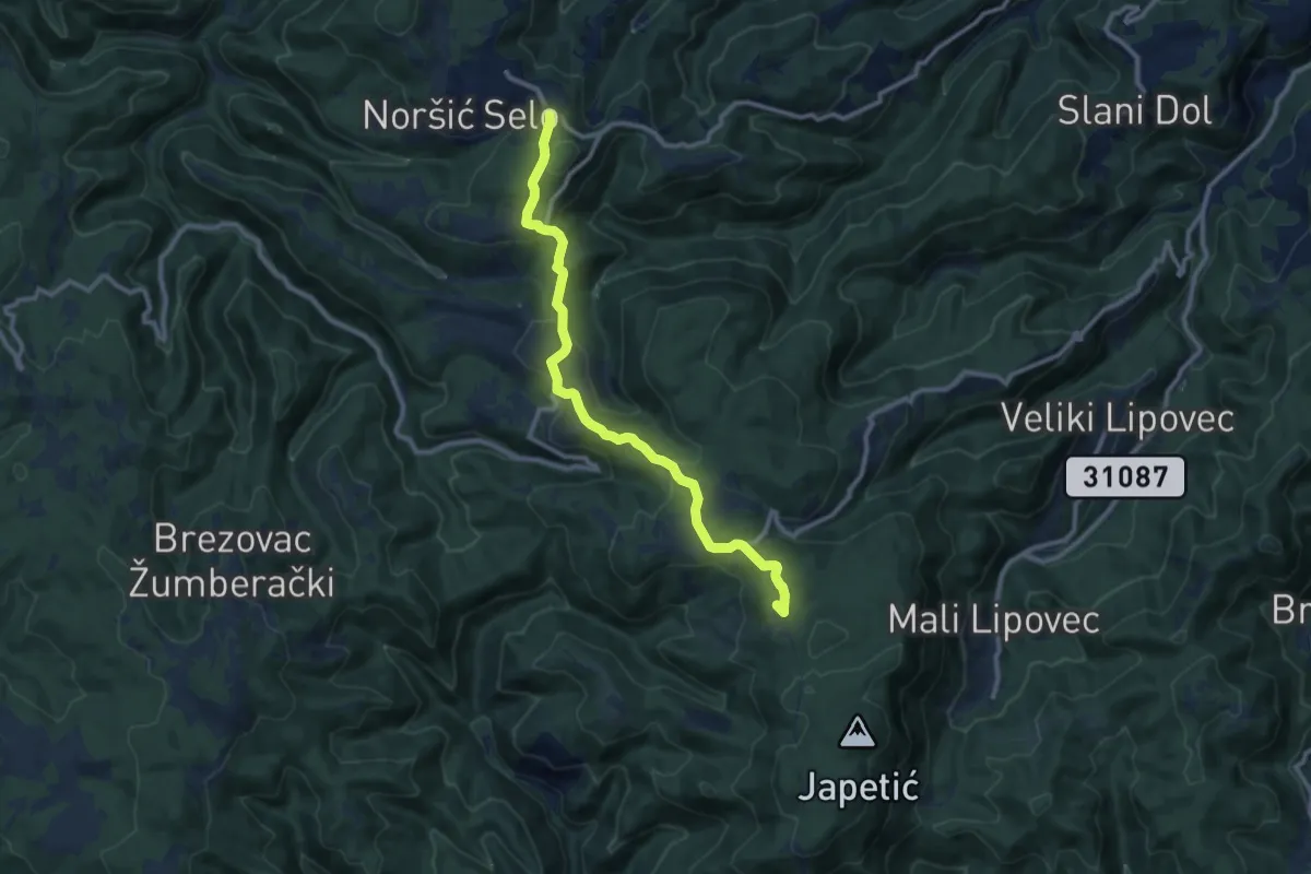
Medium · Summit
Noršić Selo - Katin krč
10.6 km · ↑ 444 m · 3 h 28 min · 14 km away
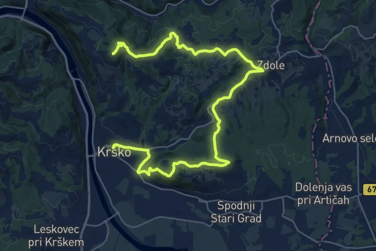
Demanding · Summit
Krško - Libna - Grmada
25.0 km · ↑ 745 m · 7 h 31 min · 14 km away
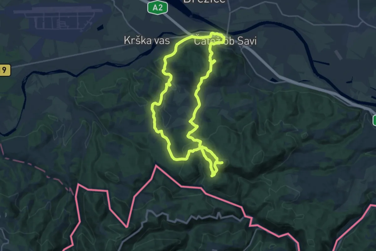
Medium · Summit
Brežiška planinska pot
16.3 km · ↑ 767 m · 5 h 44 min · 14 km away
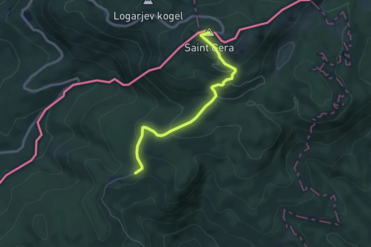
Easy · Summit
Sekulići - Sv. Gera
5.0 km · ↑ 260 m · 1 h 45 min · 14 km away
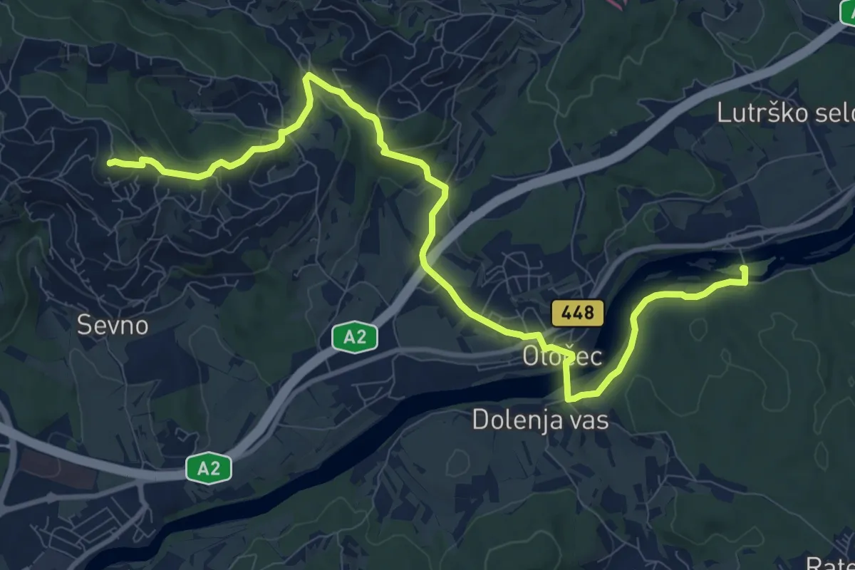
Medium · Summit
Grad Otočec - Trška gora
12.2 km · ↑ 364 m · 3 h 40 min · 14 km away
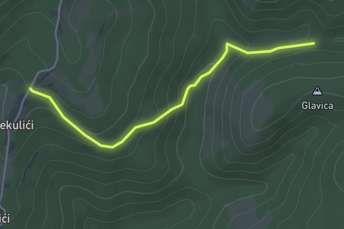
Easy · Trail
Sekulići - spoj s putem za Sošice
3.3 km · ↑ 141 m · 1 h 5 min · 14 km away
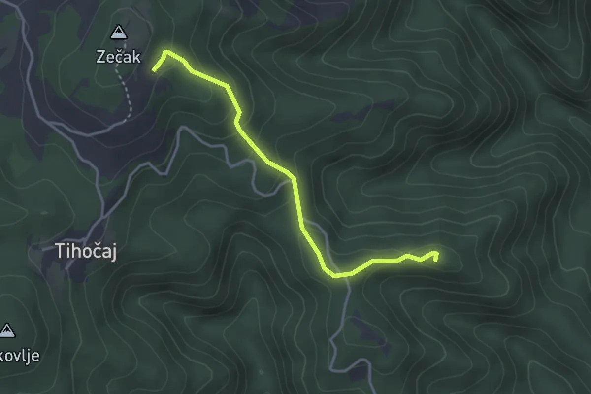
Medium · Summit
Višoševićev mlin - La Verna
3.2 km · ↑ 166 m · 1 h 7 min · 14 km away