Trails near Kranj
92 hikes starting within 15 km, nearest first.
Nearest first, page 1 of 2
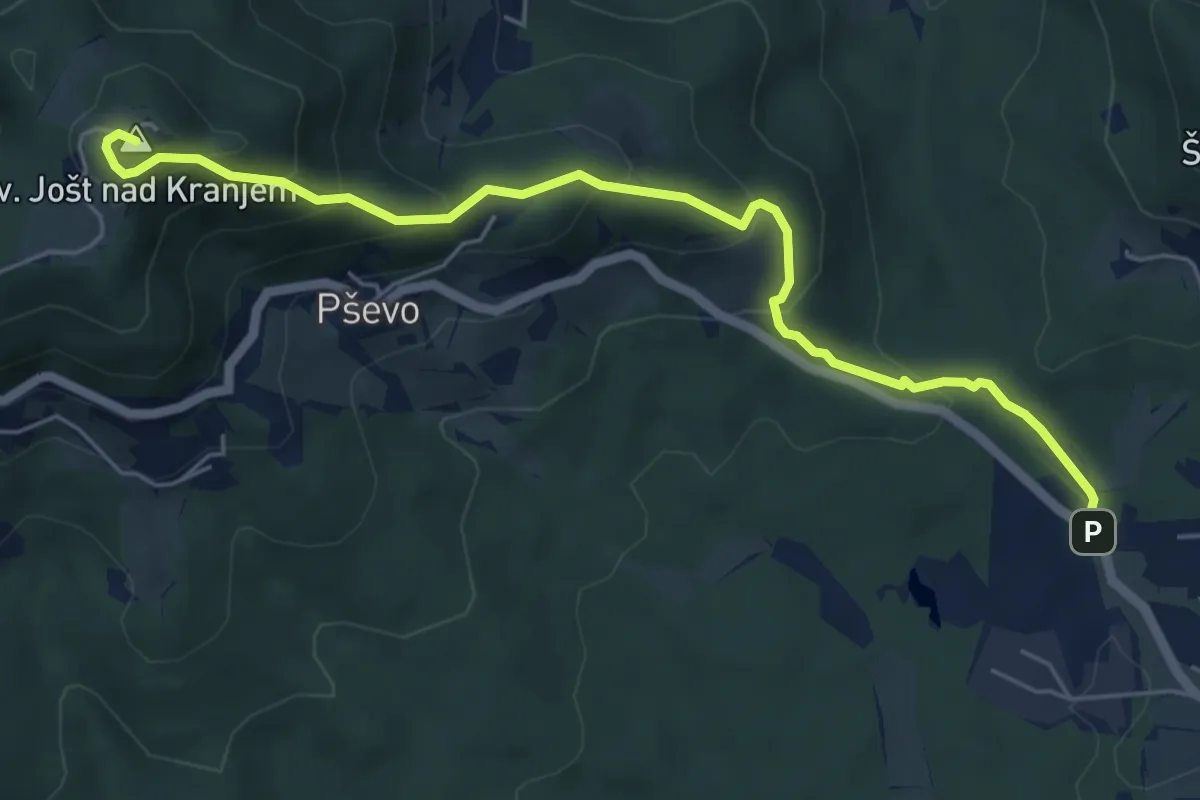
Medium · Summit
Stražišče - Sv. Jošt
6.0 km · ↑ 429 m · 2 h 20 min · 2 km away
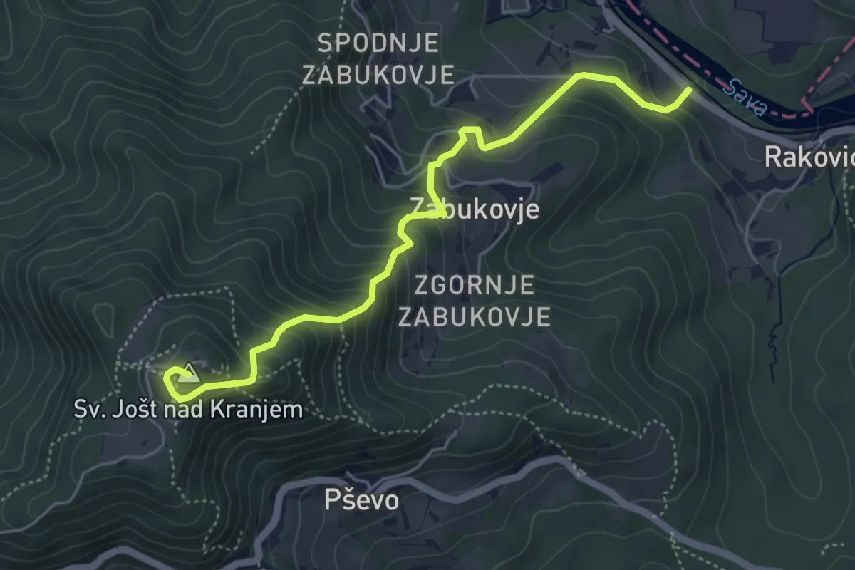
Medium · Summit
Rakovica - Sv. Jošt
5.0 km · ↑ 494 m · 2 h 15 min · 3 km away
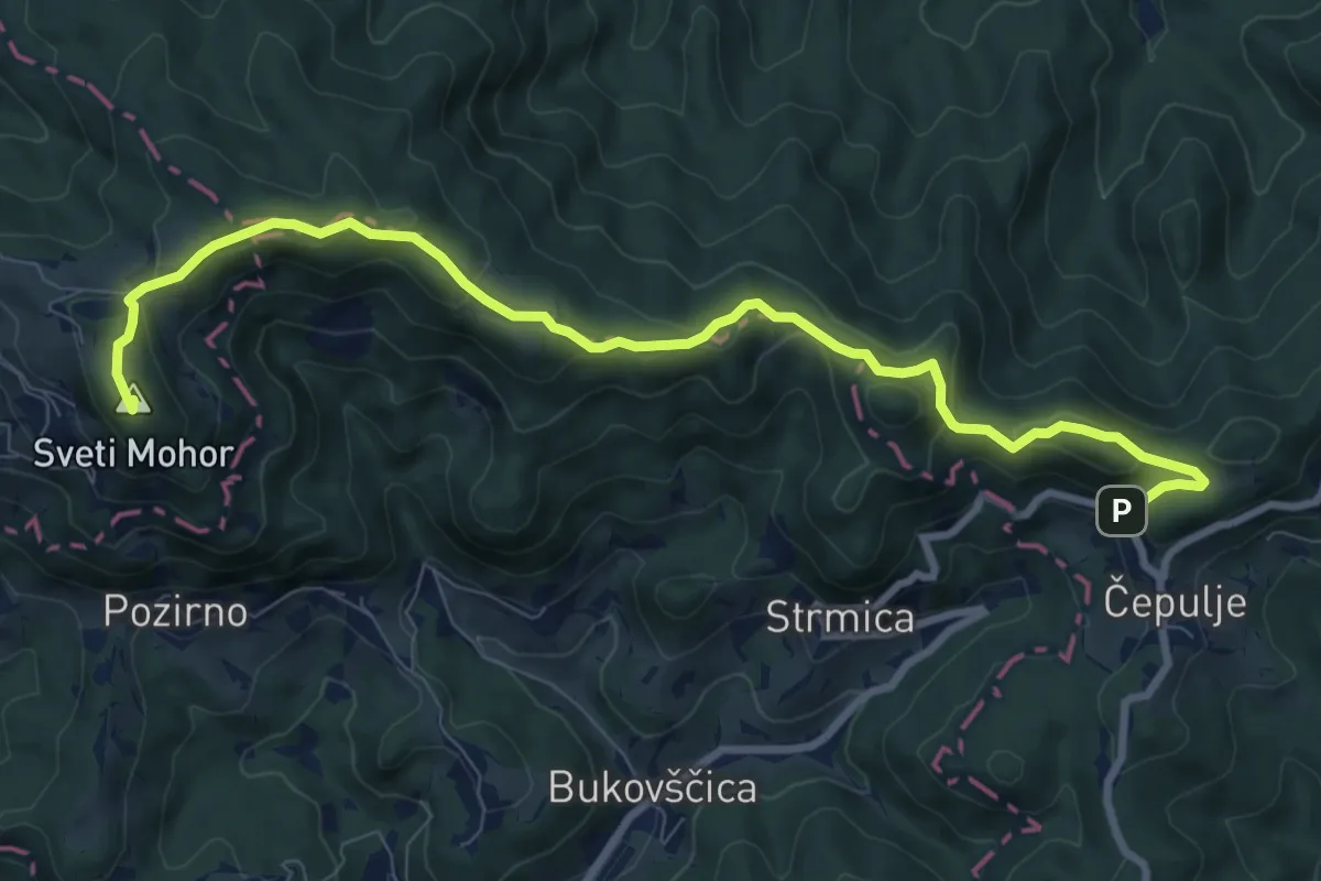
Medium · Summit
Čepulje - Sv. Mohor
9.9 km · ↑ 404 m · 3 h 12 min · 6 km away
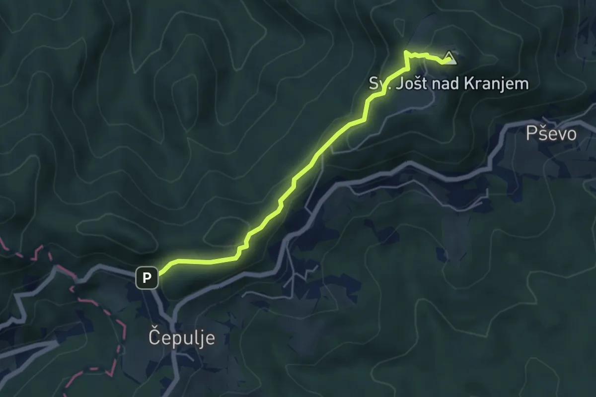
Easy · Summit
Čepulje - Sv. Jošt
4.4 km · ↑ 237 m · 1 h 33 min · 6 km away
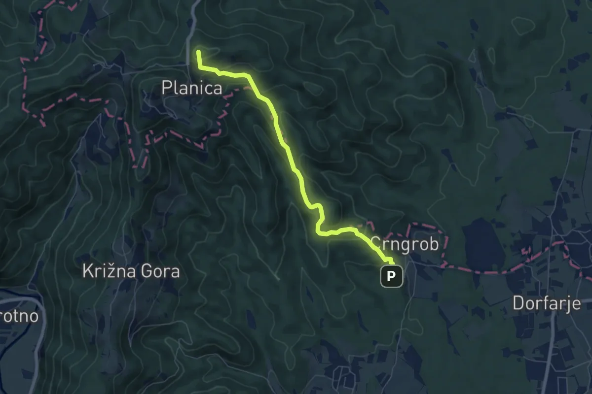
Medium · Summit
Crngrob - Planica
6.4 km · ↑ 370 m · 2 h 19 min · 6 km away
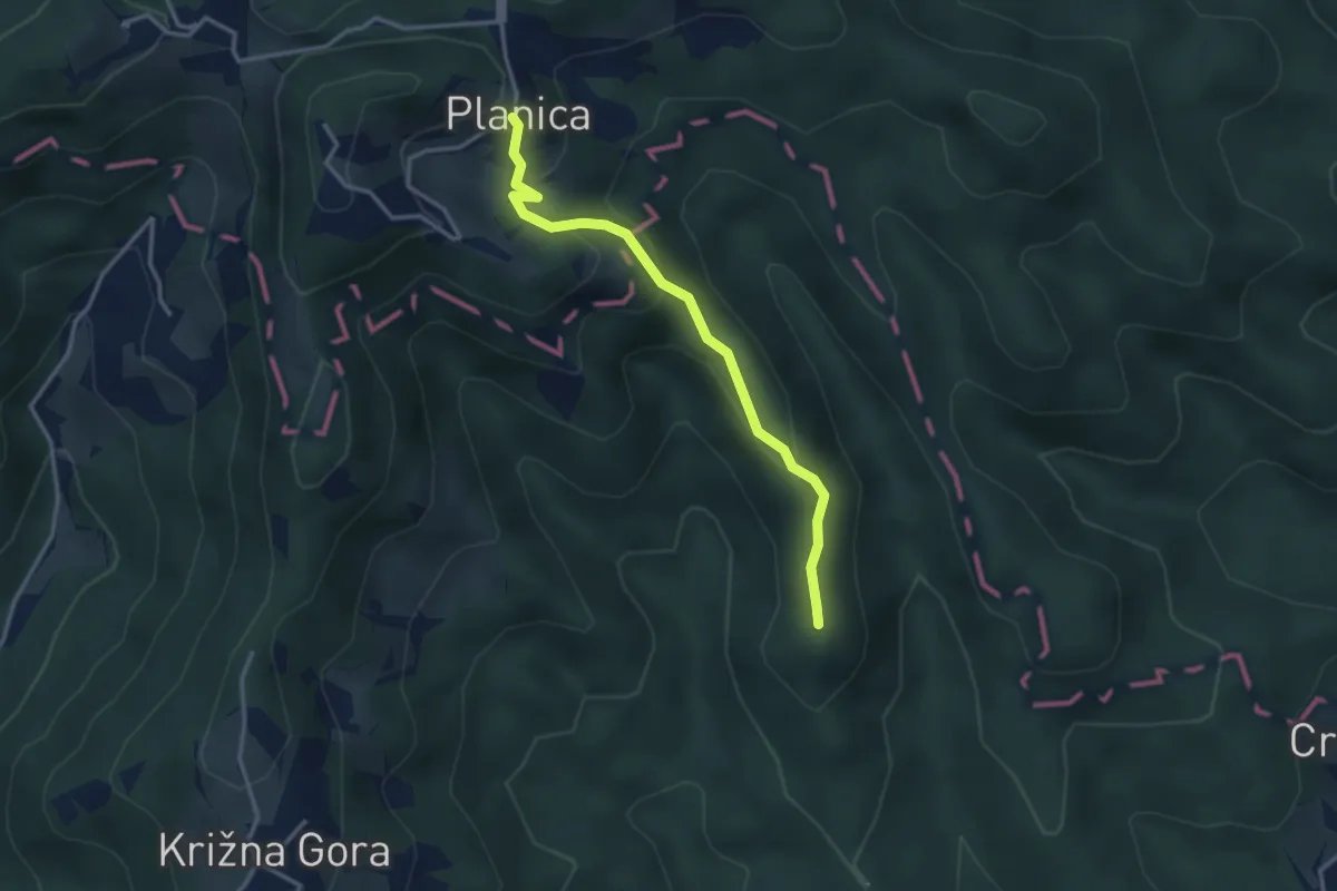
Easy · Summit
Pevno - Planica
3.2 km · ↑ 173 m · 1 h 8 min · 7 km away
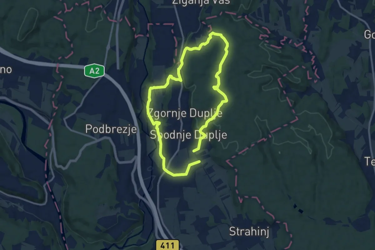
Medium · Trail
Krožna pot Kriva Jelka
16.3 km · ↑ 299 m · 4 h 30 min · 7 km away
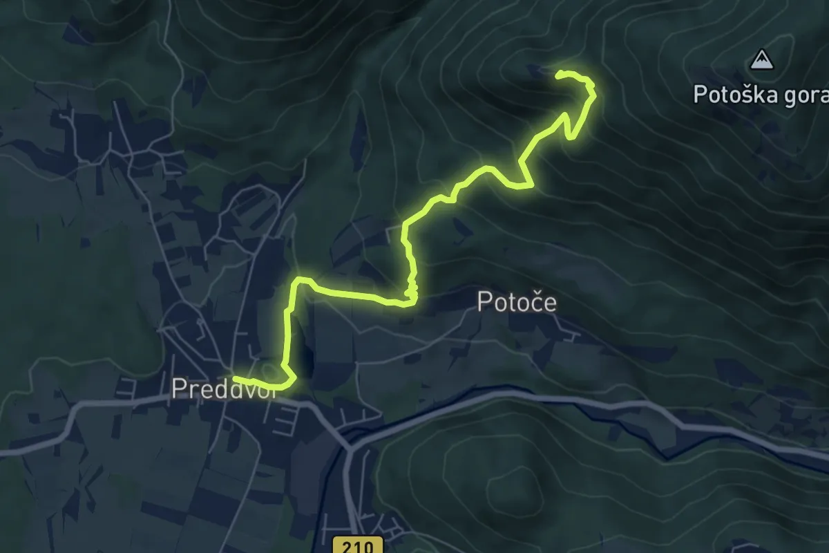
Medium · Summit
Jakobova pot – Preddvorska veja (var. 1)
3.5 km · ↑ 479 m · 1 h 41 min · 8 km away
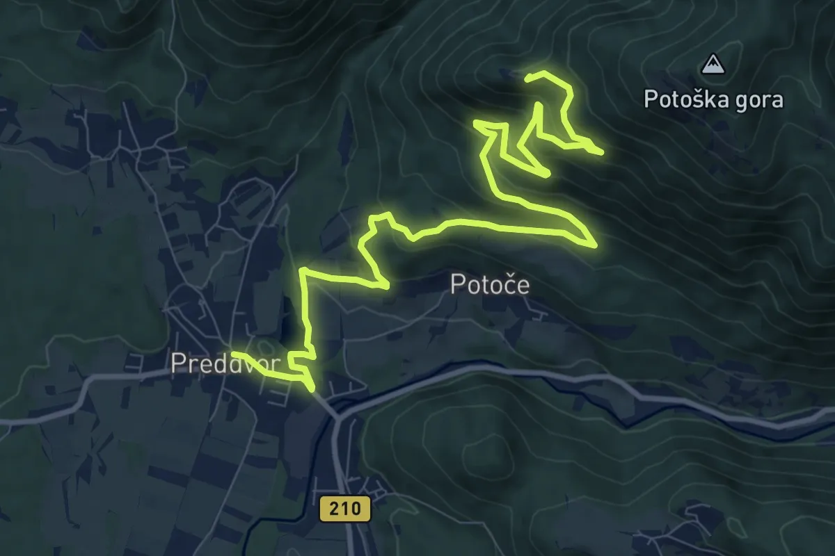
Medium · Summit
Jakobova pot – Preddvorska veja (var. 2)
6.5 km · ↑ 545 m · 2 h 35 min · 8 km away
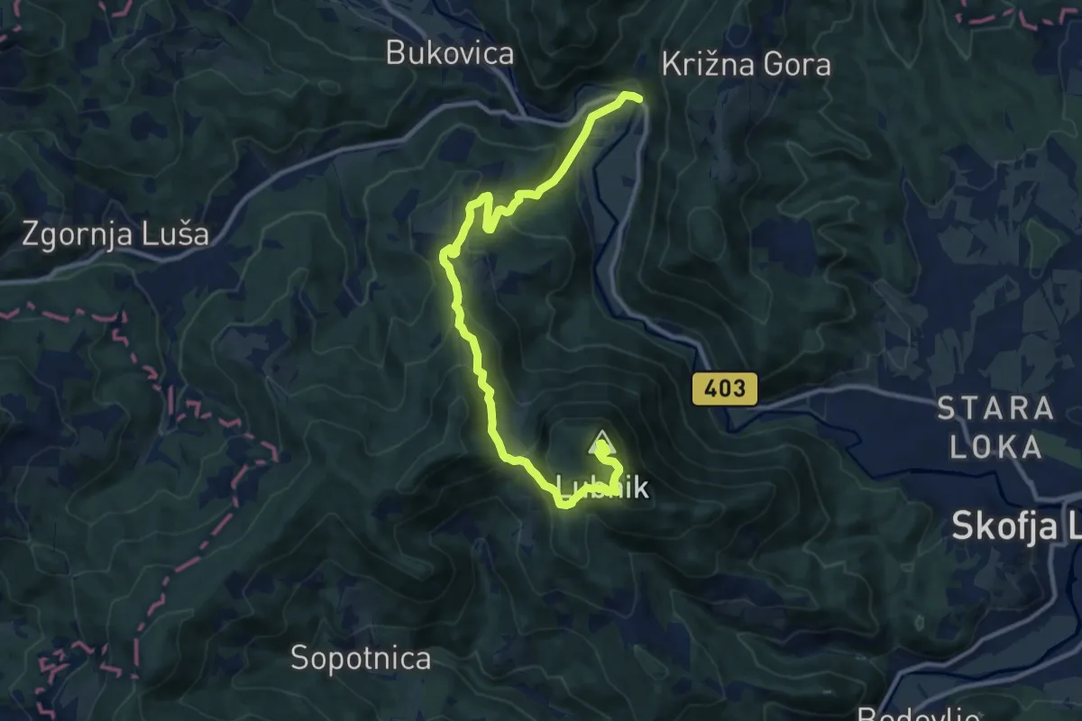
Medium · Summit
Praprotno - Lubnik
12.6 km · ↑ 750 m · 4 h 36 min · 9 km away
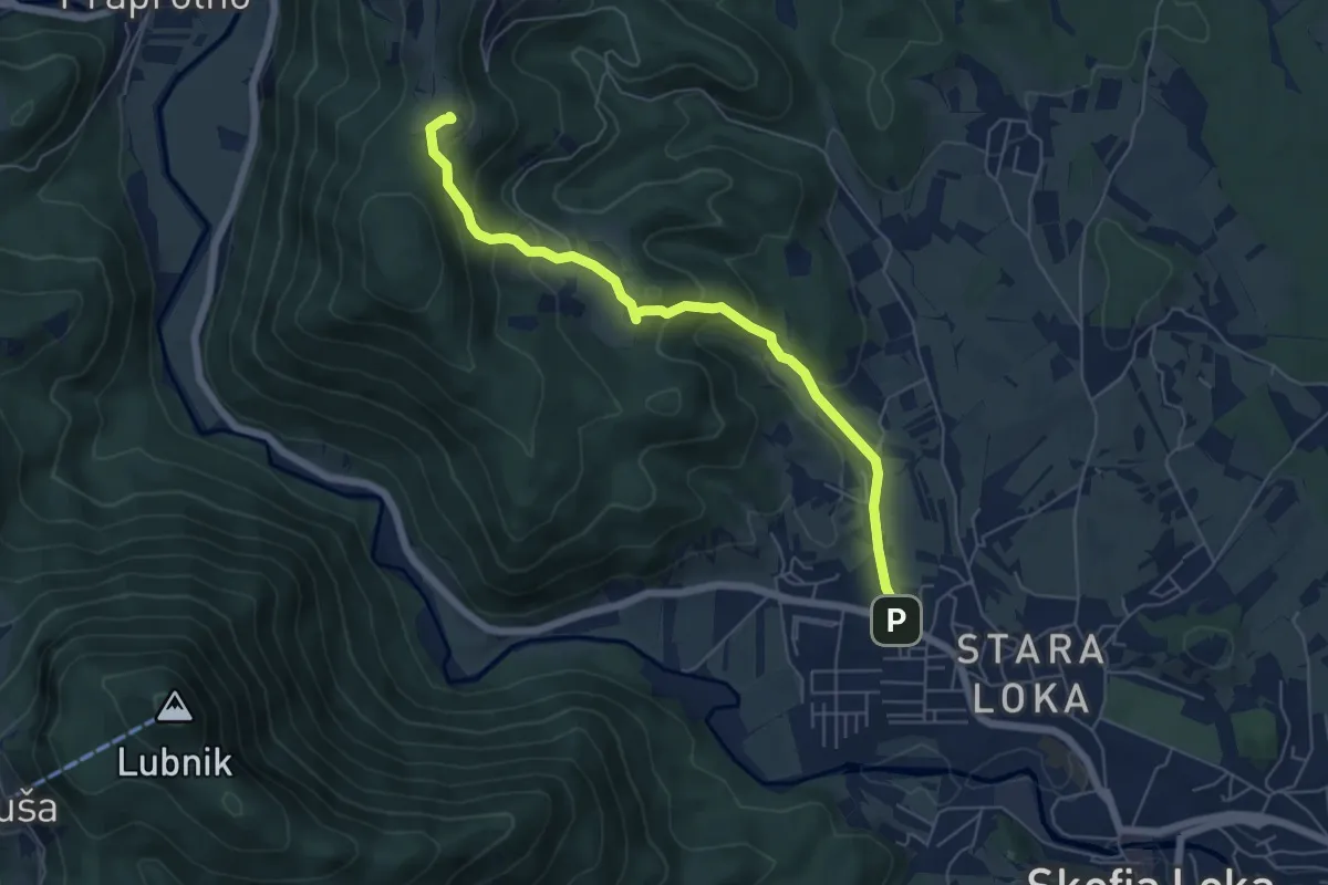
Medium · Trail
Škofja Loka - Križna Gora
6.0 km · ↑ 339 m · 2 h 8 min · 9 km away
Medium · Summit
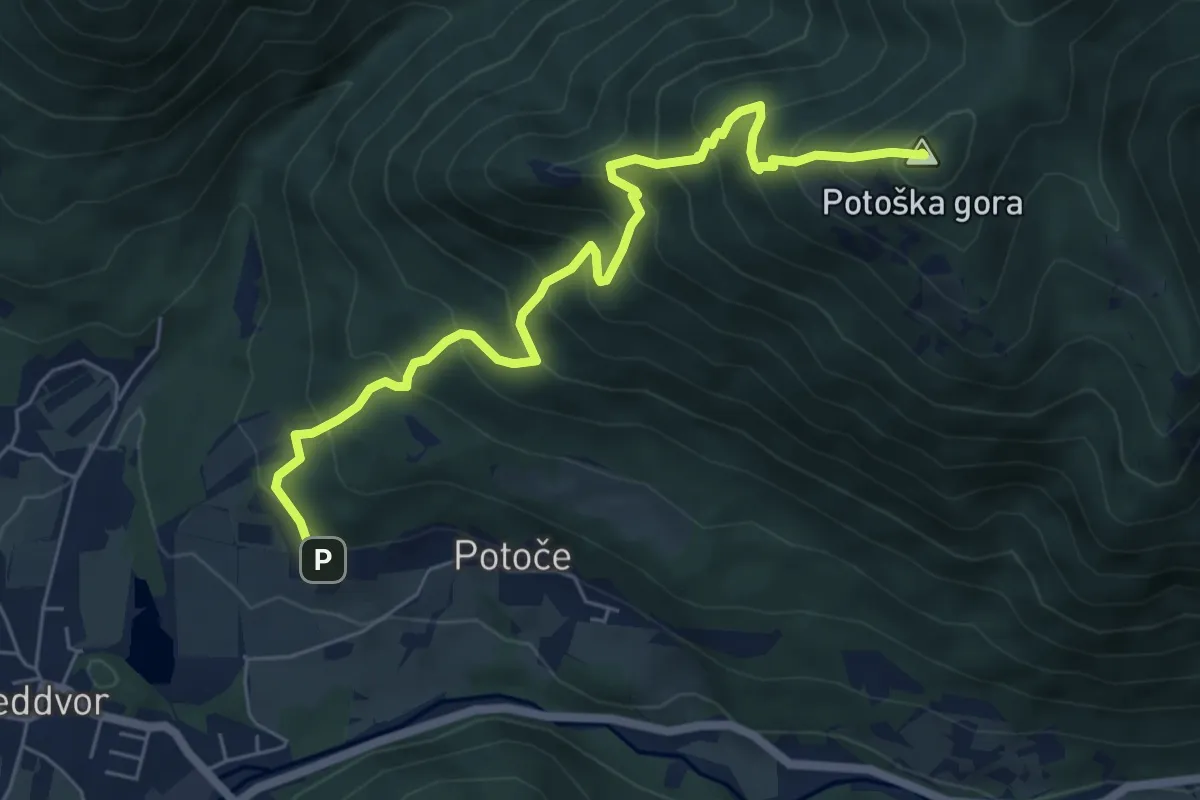
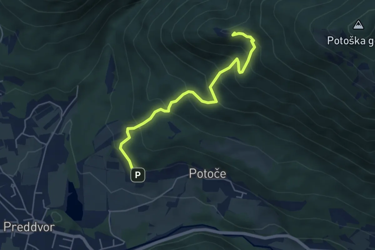
Potoče - Potoška gora
6.7 km · ↑ 740 m · 3 h 11 min · 9 km away
Medium · Summit
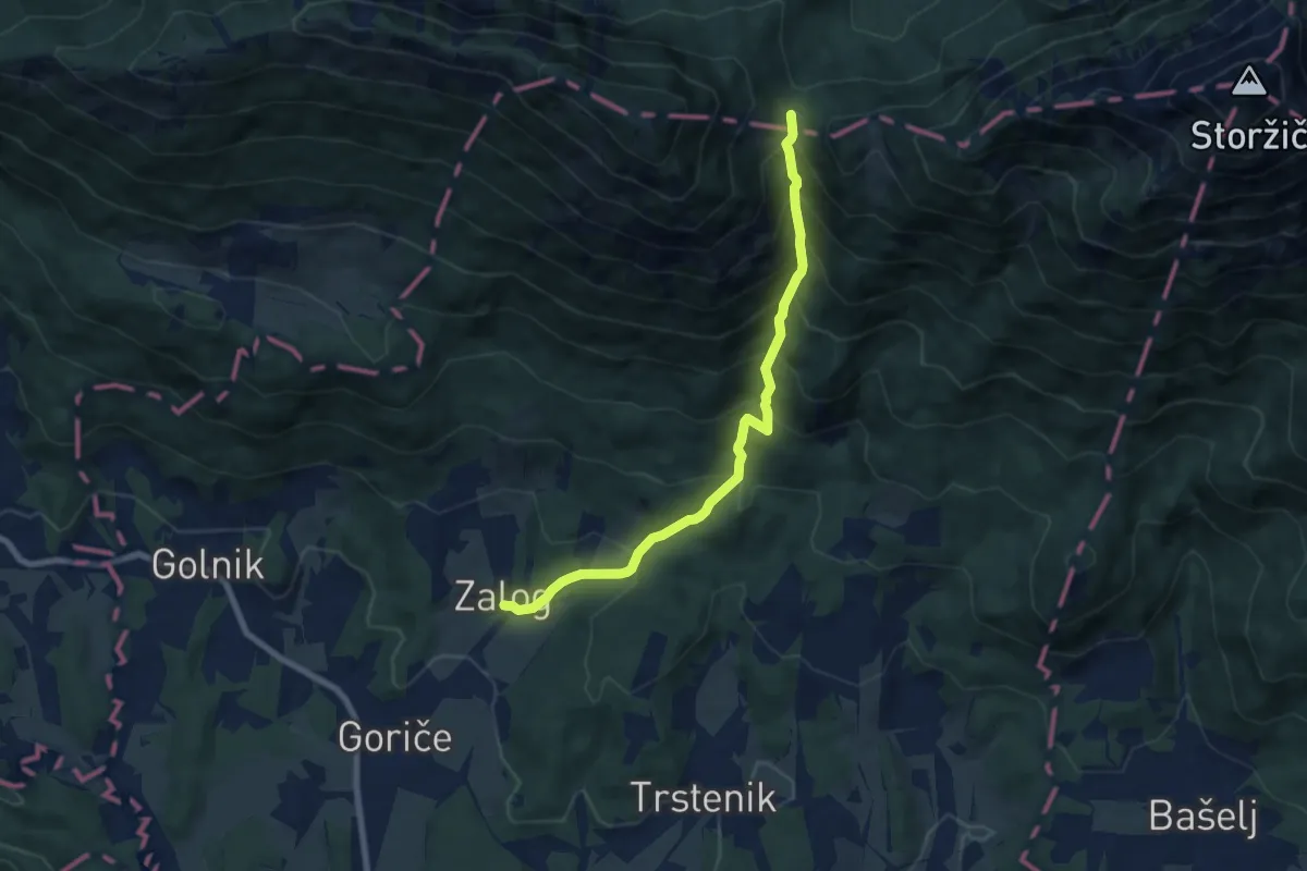
Potoče - Sv. Jakob
4.5 km · ↑ 432 m · 2 h · 9 km away
Medium · Cabin
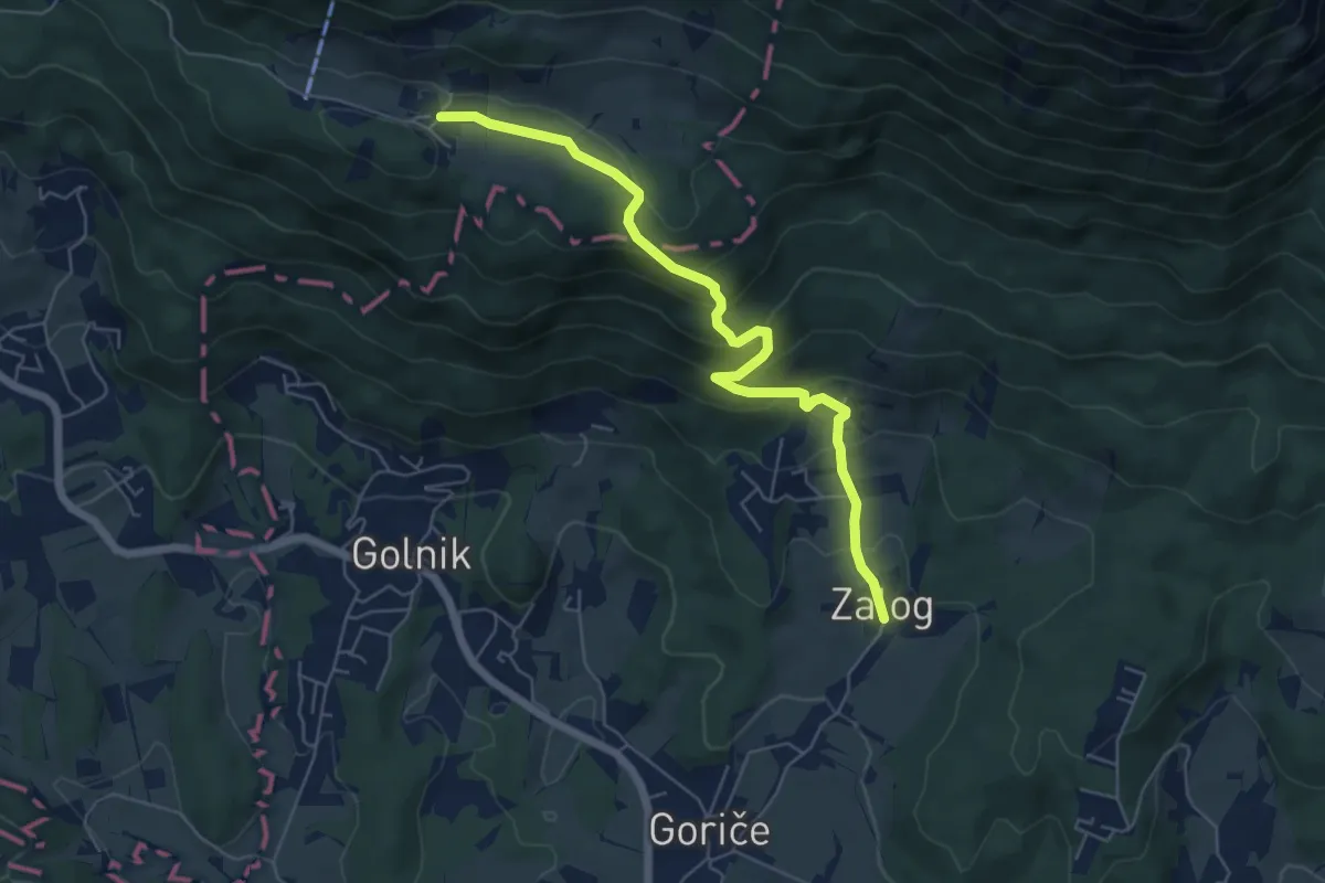
Zalog - Mala Poljana
7.5 km · ↑ 800 m · 3 h 30 min · 9 km away
Medium · Trail
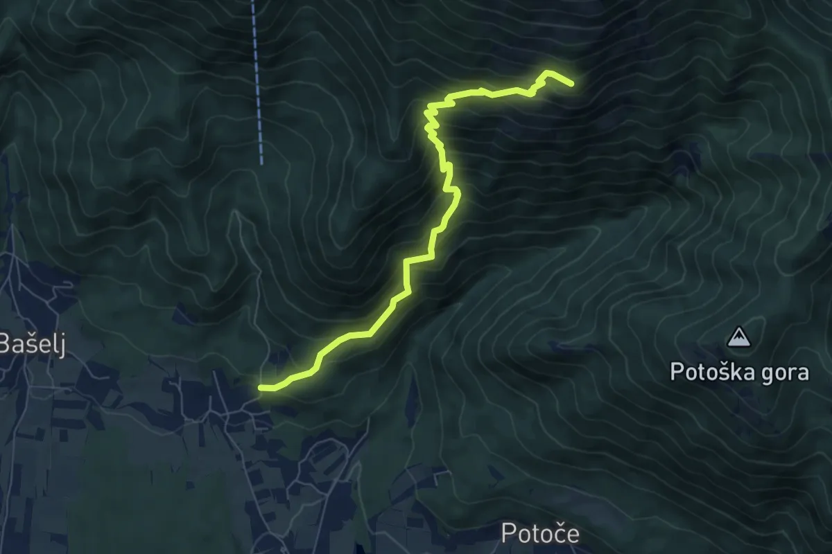
Zalog - Svarje - Gozd
6.1 km · ↑ 374 m · 2 h 15 min · 9 km away
Demanding · Cabin
Mače - Hudičev boršt
7.3 km · ↑ 835 m · 3 h 32 min · 9 km away
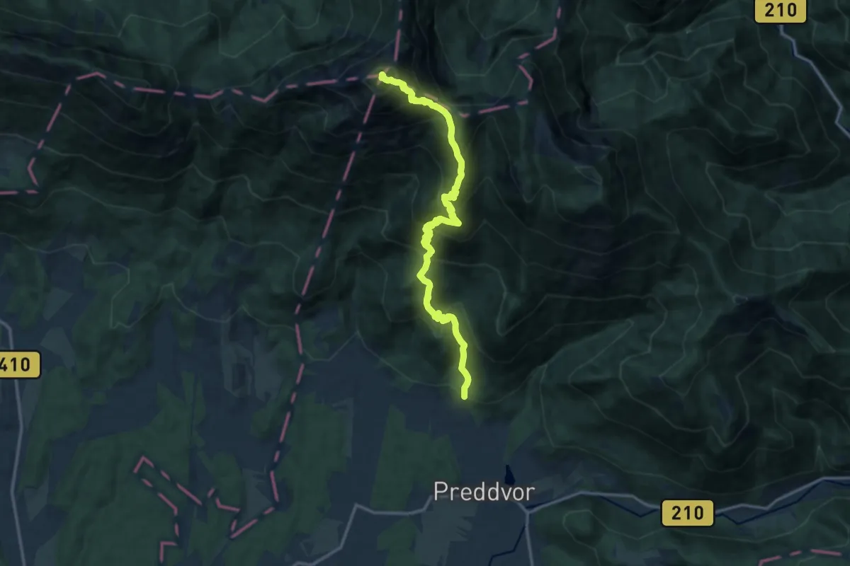
Expert · Summit
Mače - Kališče - Storžič
14.0 km · ↑ 1532 m · 6 h 37 min · 9 km away
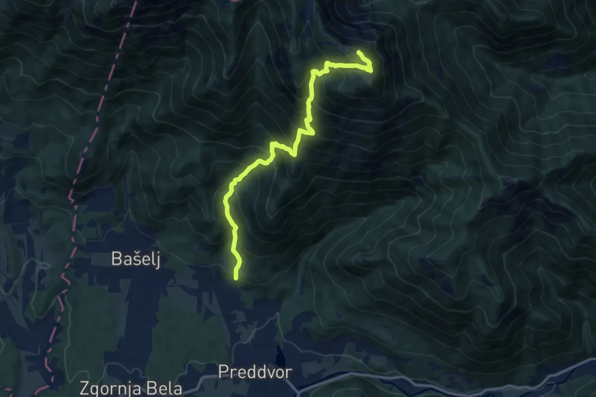
Demanding · Summit
Mače - Srednji vrh
10.4 km · ↑ 1243 m · 5 h 10 min · 9 km away
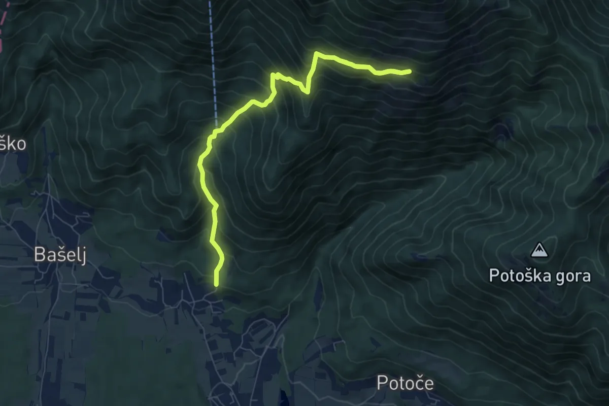
Demanding · Trail
Mače - Kozjek - Hudičev boršt
8.8 km · ↑ 826 m · 3 h 52 min · 9 km away
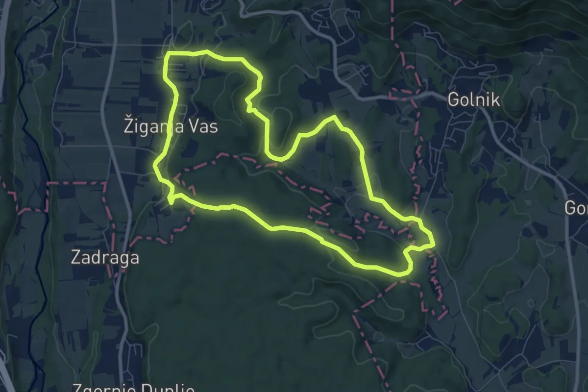
Medium · Trail
Pot treh zvonov
8.0 km · ↑ 177 m · 2 h 23 min · 9 km away
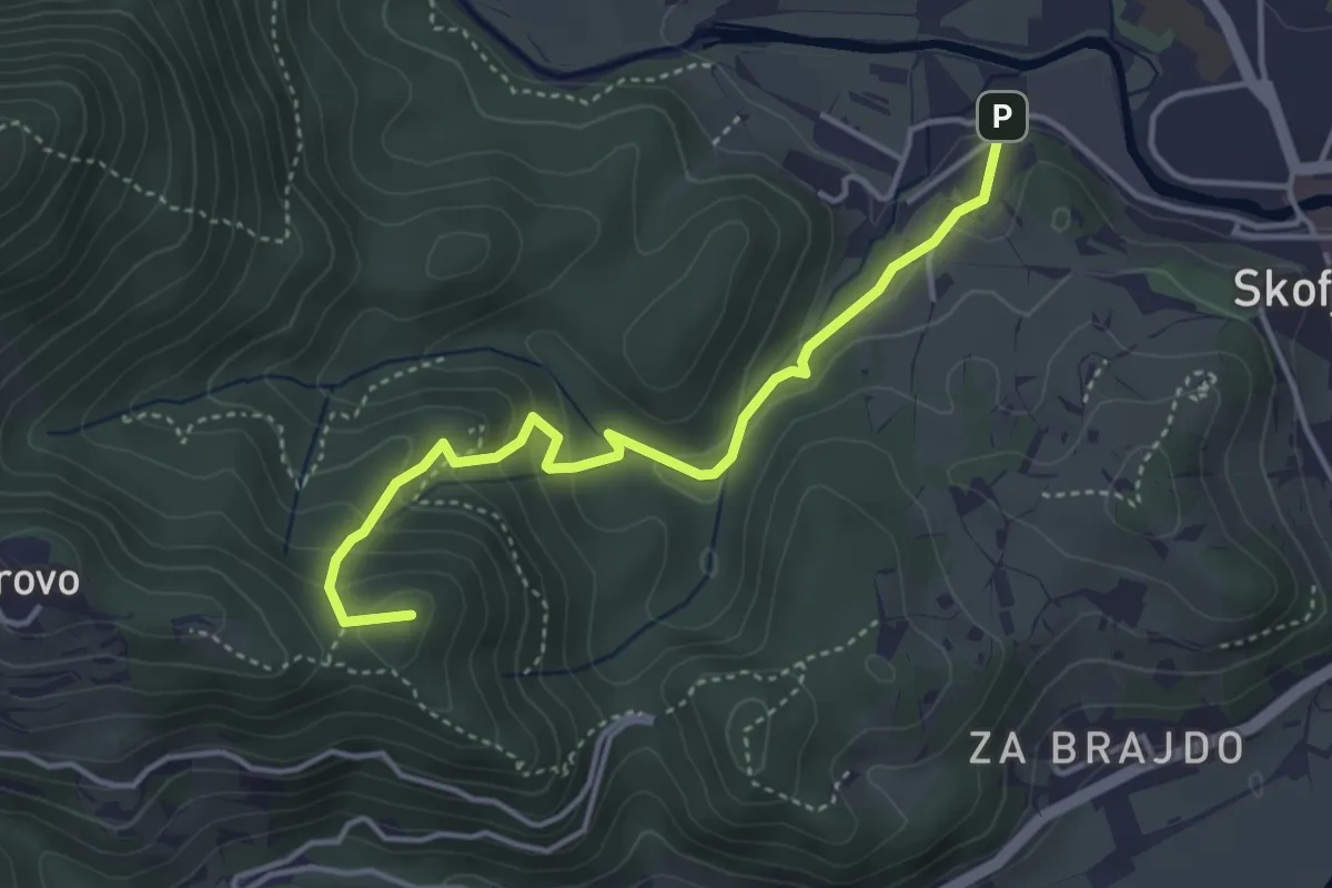
Medium · Summit
Vincarje - Gabrovo
4.0 km · ↑ 285 m · 1 h 34 min · 9 km away
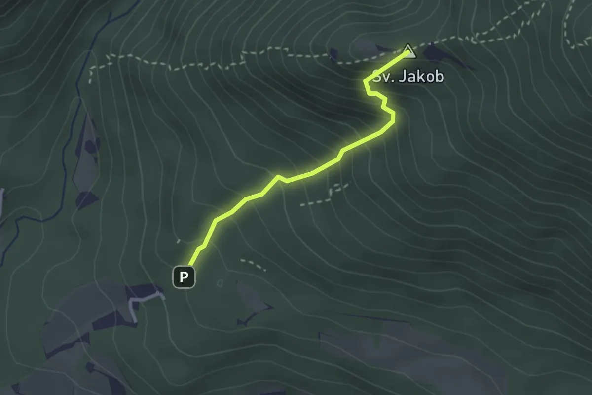
Medium · Summit
Juhantova pot
2.2 km · ↑ 323 m · 1 h 14 min · 9 km away
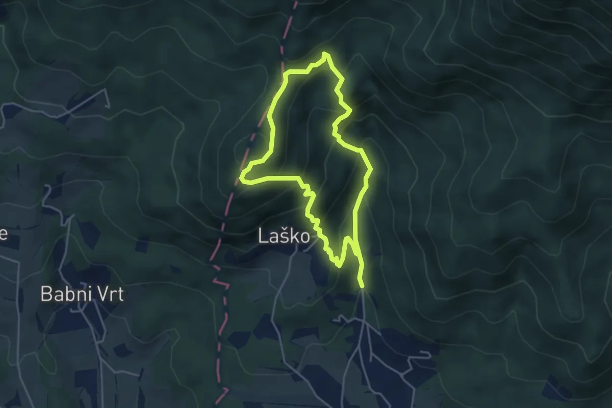
Medium · Summit
Gamsova pot
3.5 km · ↑ 308 m · 1 h 32 min · 10 km away
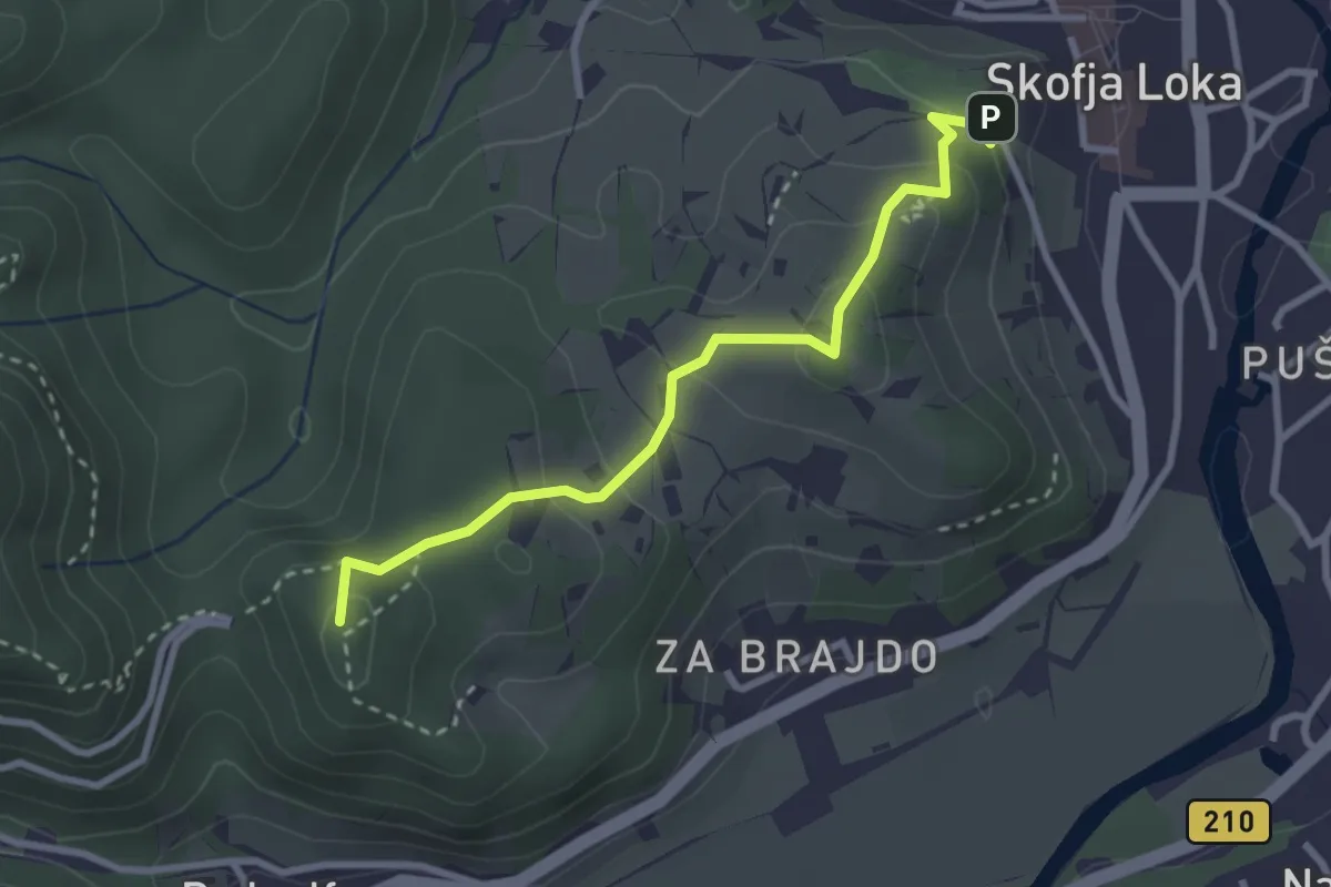
Easy · Summit
Pot treh gradov
2.9 km · ↑ 153 m · 1 h 1 min · 10 km away
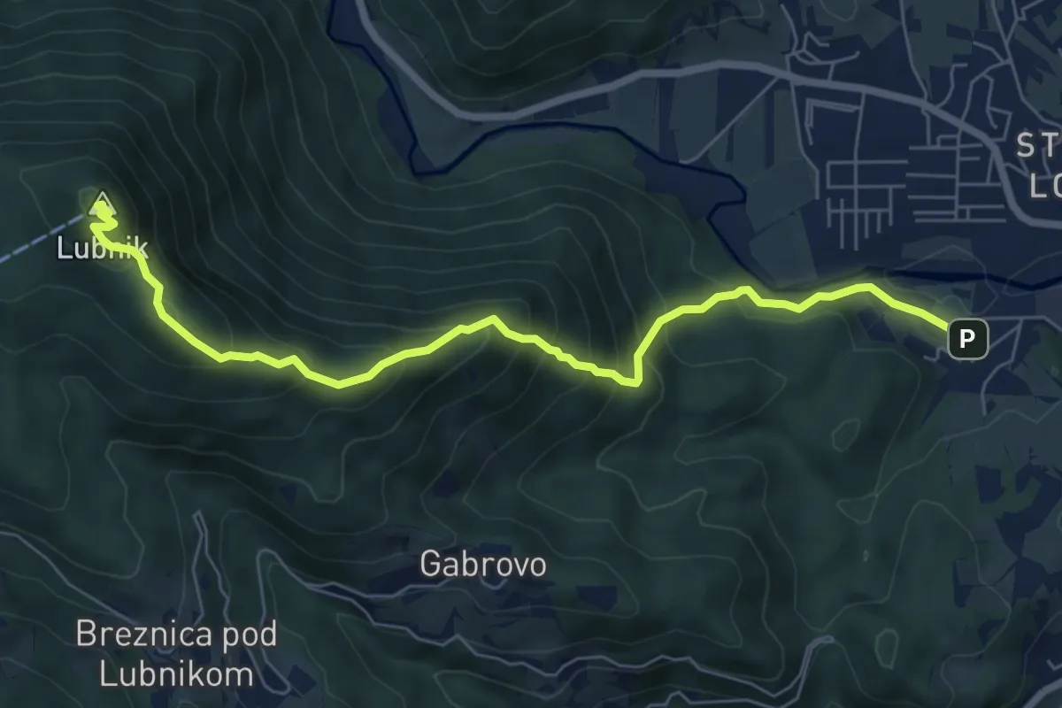
Medium · Summit
Vincarje - Lubnik
7.2 km · ↑ 648 m · 3 h 6 min · 10 km away
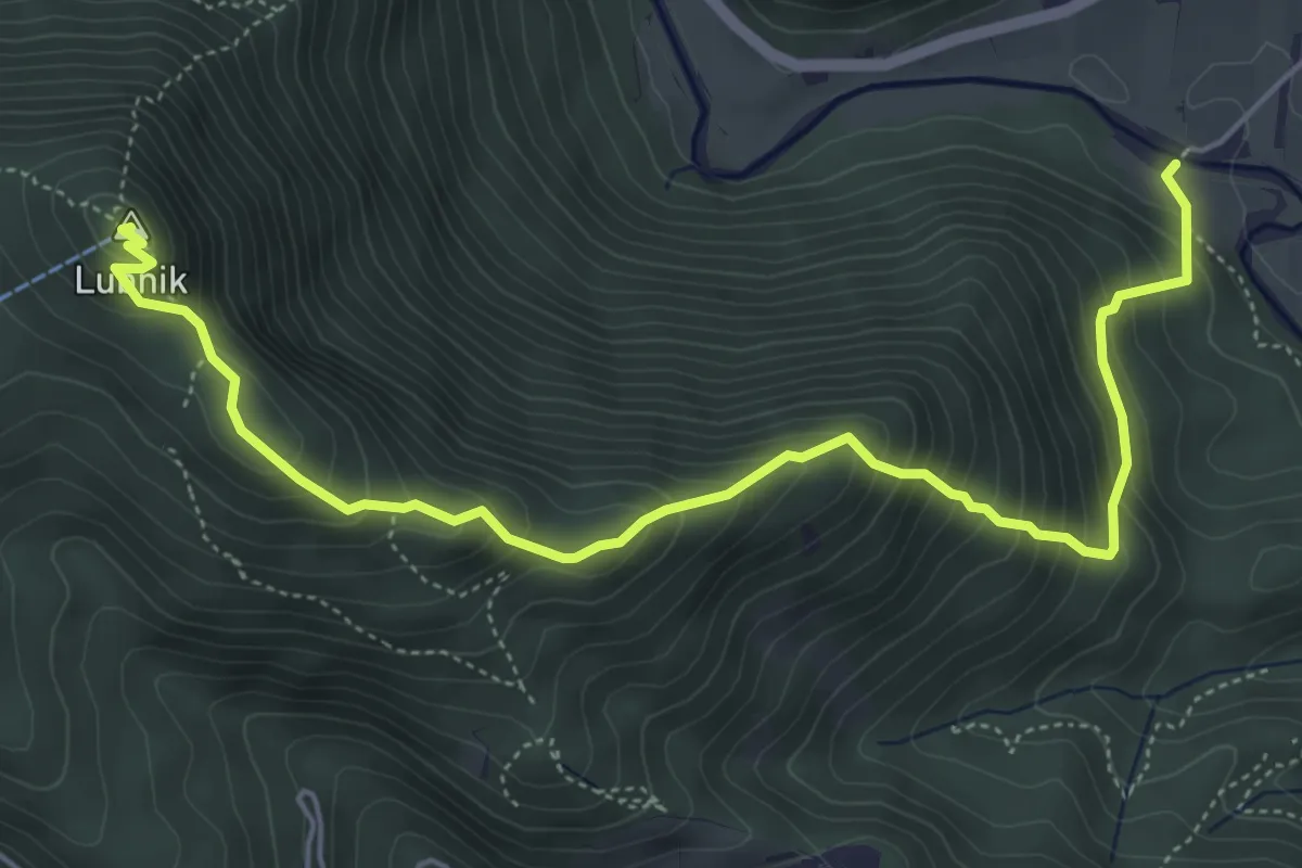
Medium · Summit
Vešter - Lubnik
6.2 km · ↑ 656 m · 2 h 53 min · 10 km away
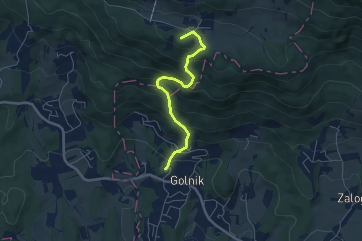
Medium · Summit
Golnik - Gozd
4.5 km · ↑ 427 m · 1 h 59 min · 10 km away
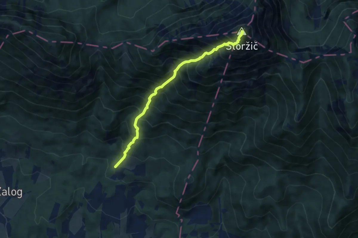
Expert · Summit
Povlje - Pl. Javornik - Storžič
7.3 km · ↑ 1359 m · 4 h 40 min · 10 km away
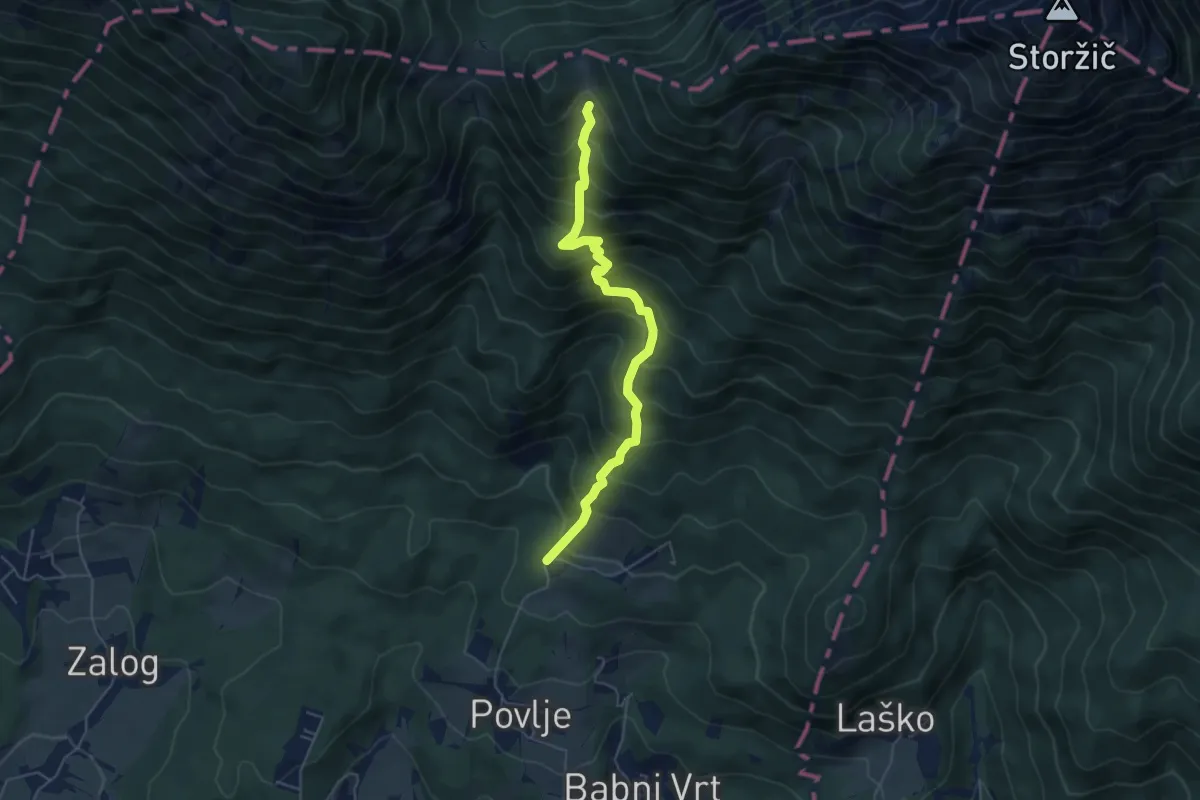
Medium · Cabin
Povlje - Velika Poljana
5.2 km · ↑ 686 m · 2 h 43 min · 10 km away
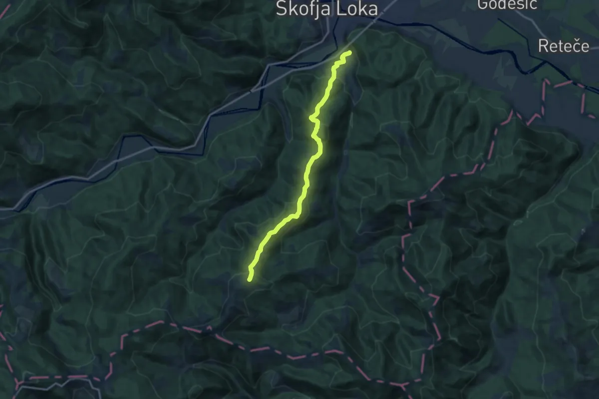
Medium · Summit
Puštal - Sv. Ožbolt
11.7 km · ↑ 602 m · 4 h 4 min · 10 km away
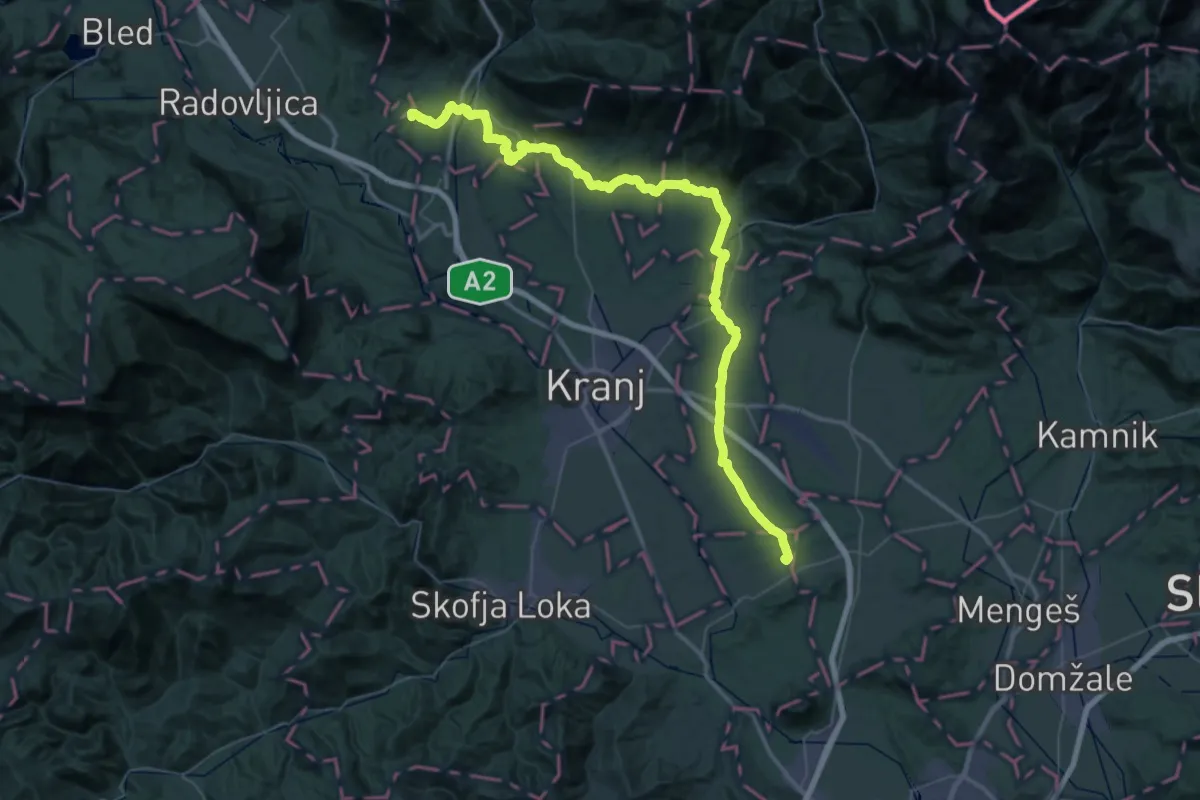
Demanding · Summit
Jakobova pot – Preddvorska veja
34.5 km · ↑ 594 m · 9 h 49 min · 10 km away
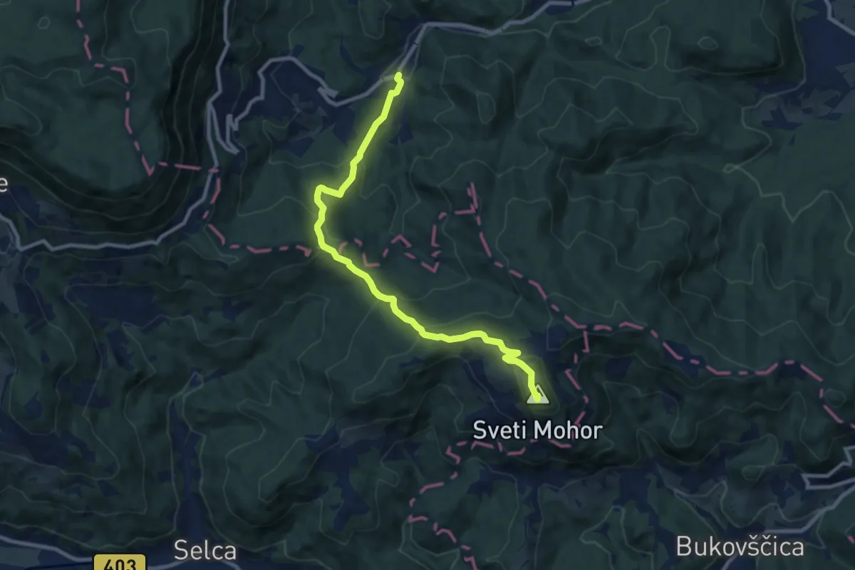
Medium · Summit
Nemilje - Sv. Mohor
9.4 km · ↑ 531 m · 3 h 22 min · 10 km away
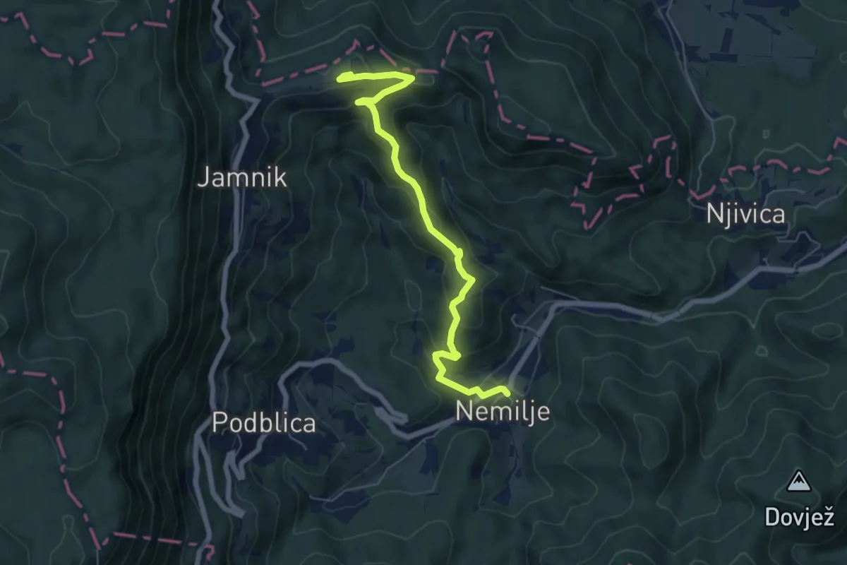
Medium · Summit
Nemilje - Jamnik
6.2 km · ↑ 351 m · 2 h 13 min · 10 km away
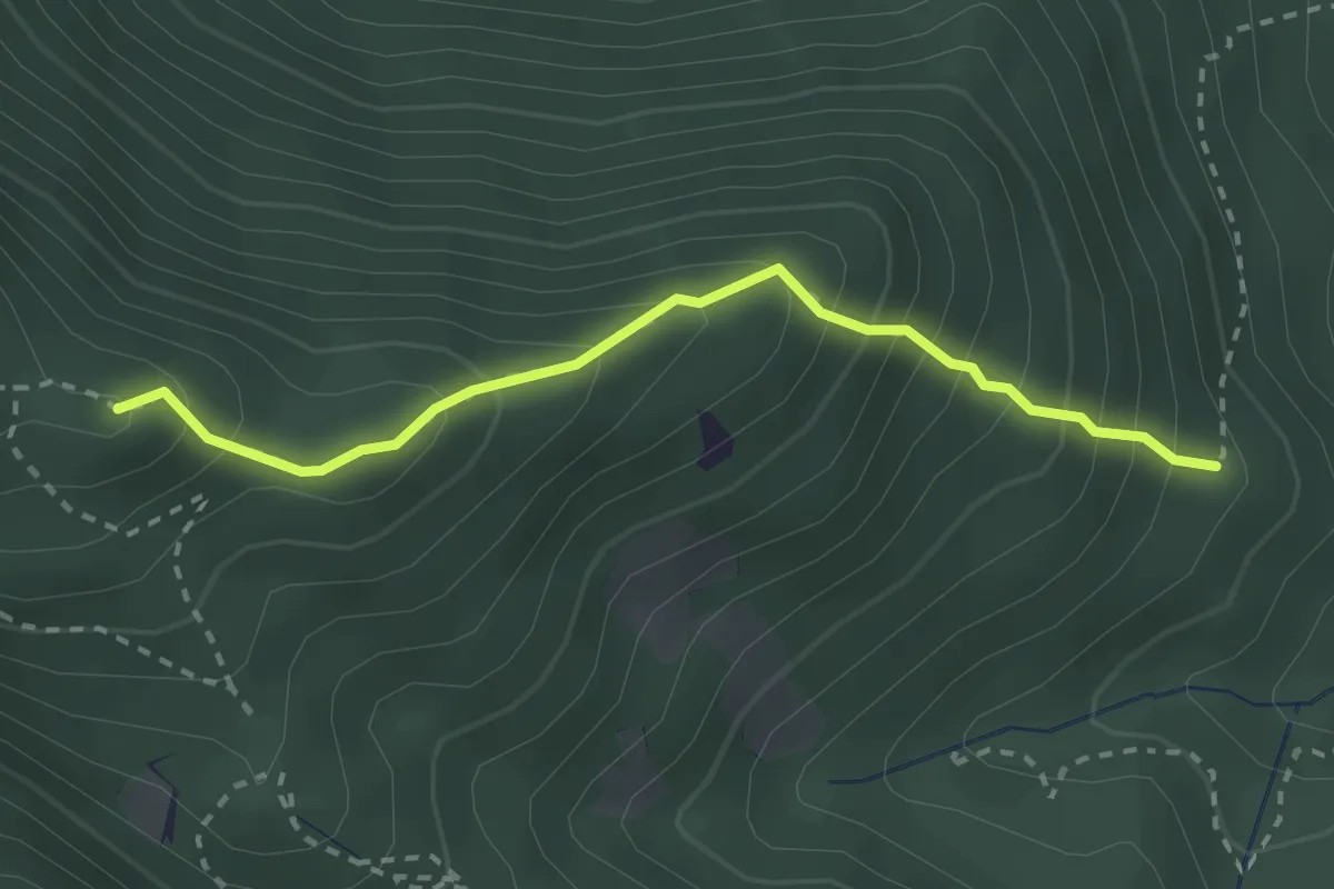
Medium · Summit
Grebenska pot
2.6 km · ↑ 347 m · 1 h 22 min · 10 km away
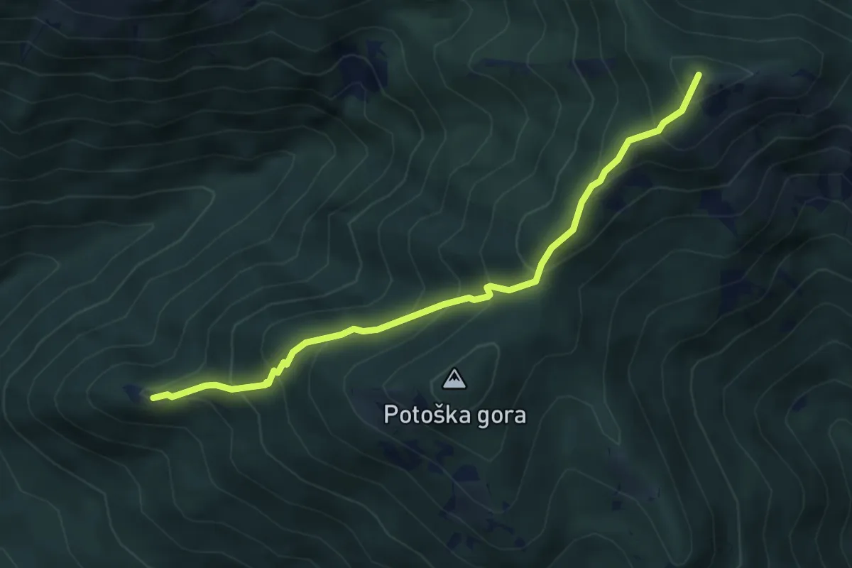
Medium · Summit
Sv. Jakob - Javorov vrh
4.6 km · ↑ 464 m · 2 h 6 min · 10 km away
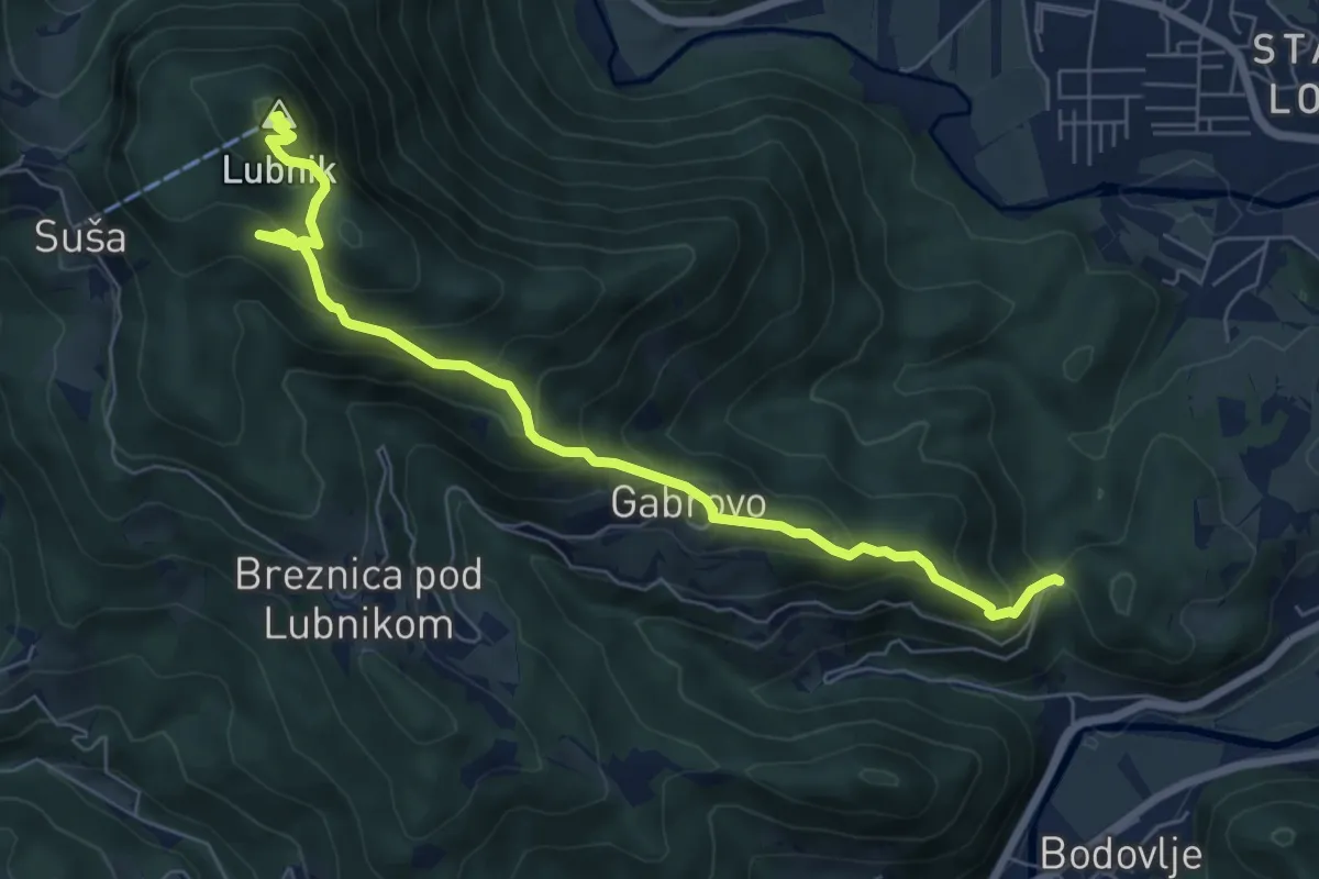
Medium · Summit
Gabrovo - Lubnik
7.4 km · ↑ 586 m · 3 h 1 min · 11 km away
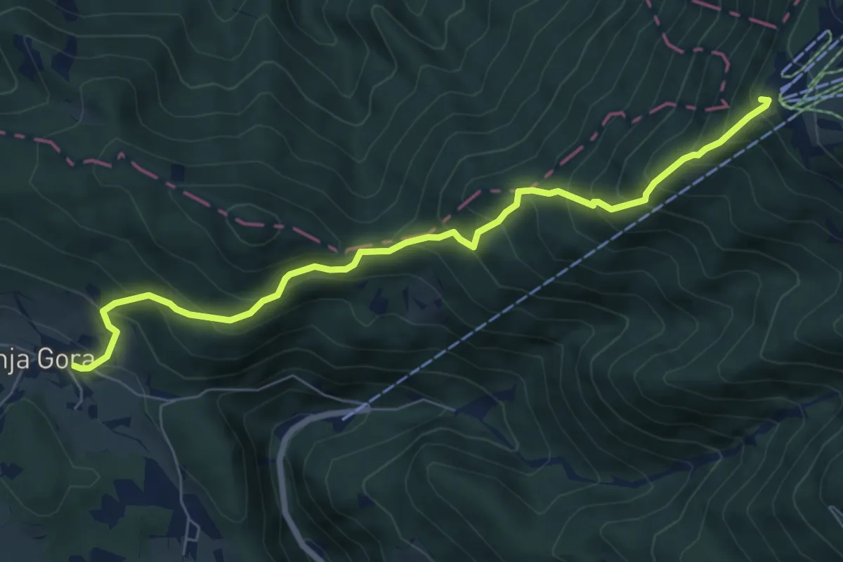
Medium · Summit
Štefanja Gora - Kriška pl.
7.2 km · ↑ 781 m · 3 h 23 min · 11 km away
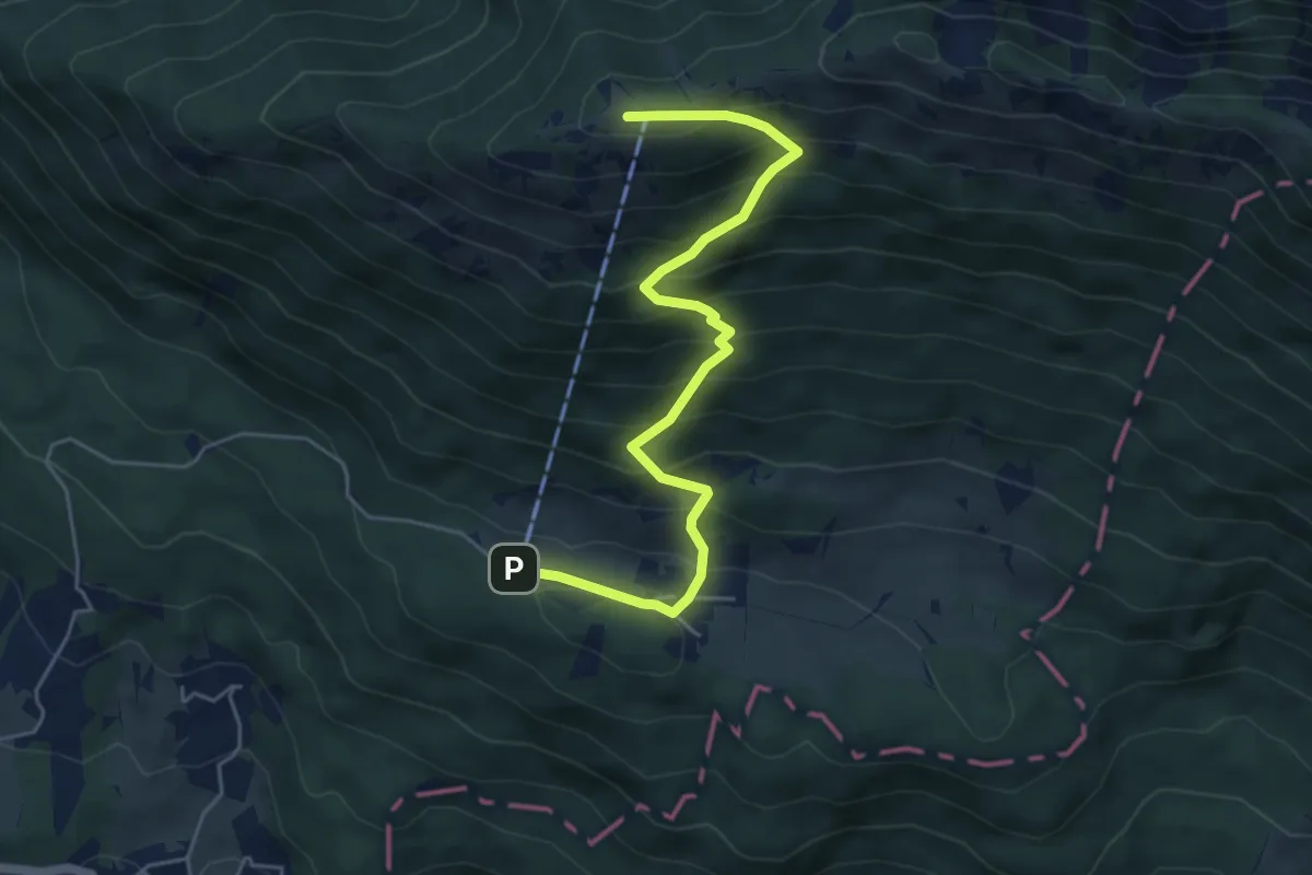
Demanding · Summit
Gozd - Koča na Kriški gori
5.5 km · ↑ 581 m · 2 h 34 min · 11 km away
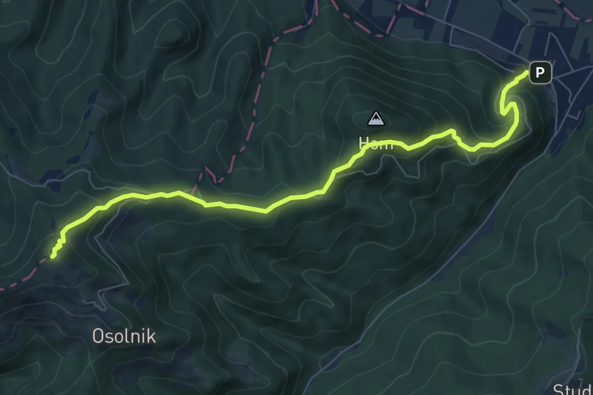
Medium · Summit
Sora - Osolnik
8.1 km · ↑ 558 m · 3 h 7 min · 11 km away
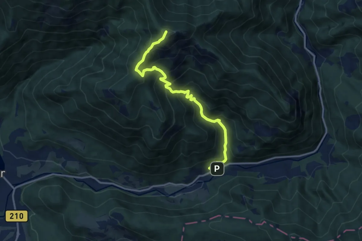
Demanding · Summit
Sp. Kokra - Javorov vrh
9.5 km · ↑ 975 m · 4 h 21 min · 11 km away
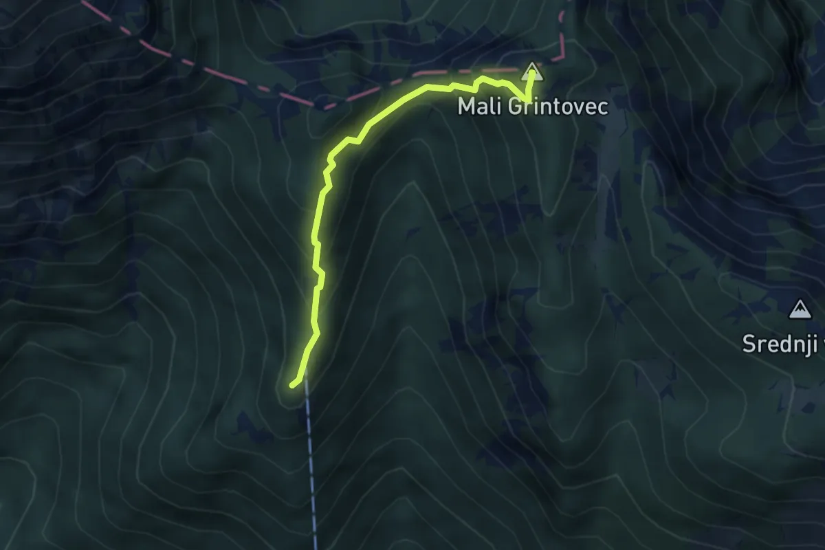
Demanding · Summit
Kališče - Mali Grintovec
3.5 km · ↑ 382 m · 1 h 39 min · 11 km away
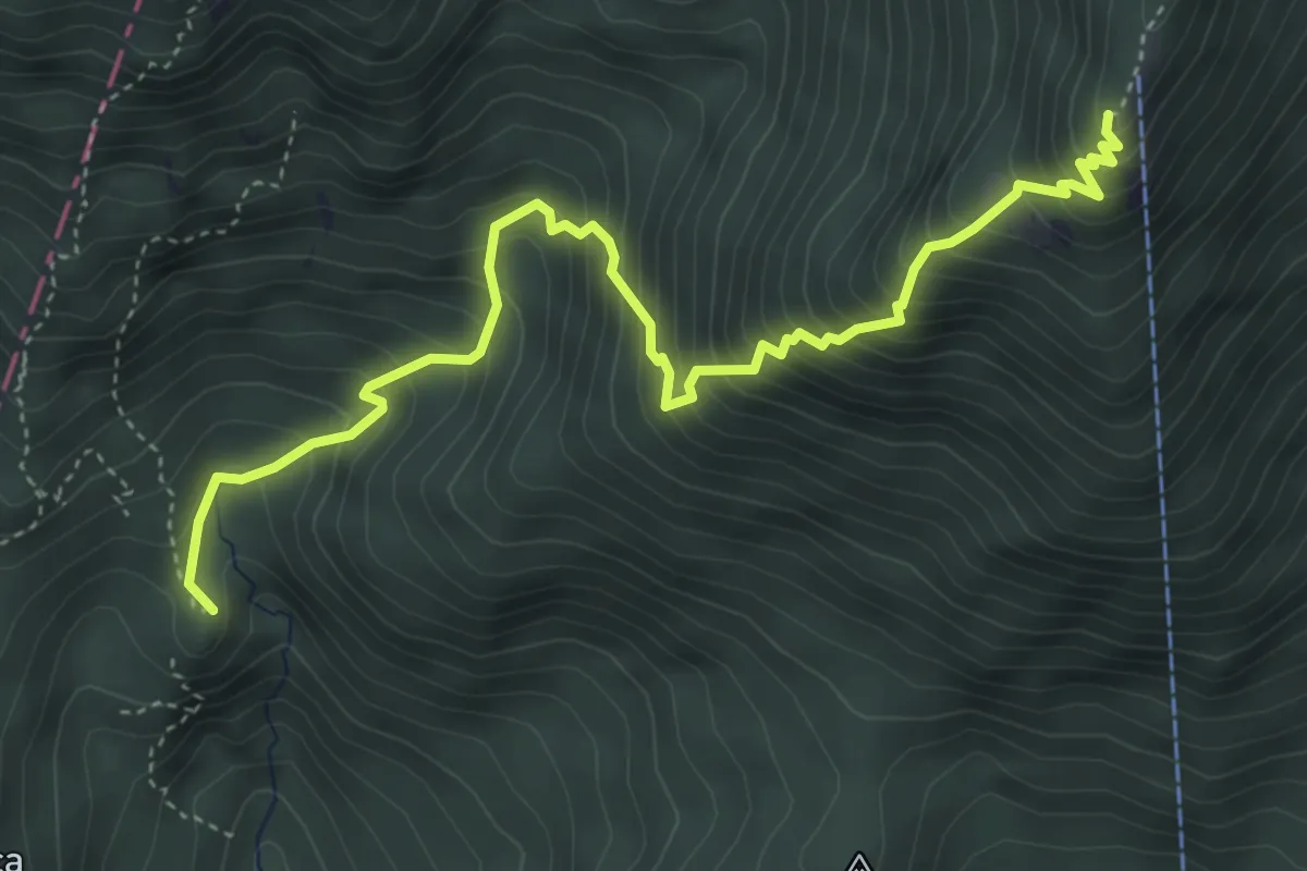
Medium · Summit
Laško - Kališče
5.1 km · ↑ 694 m · 2 h 42 min · 11 km away
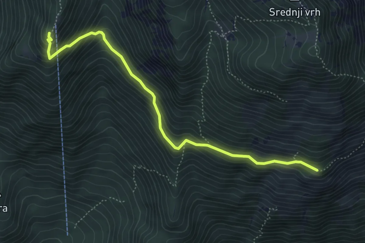
Medium · Cabin
Hudičev boršt - Kališče
5.4 km · ↑ 406 m · 2 h 9 min · 11 km away
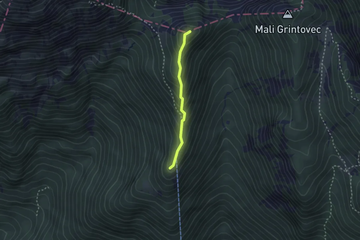
Demanding · Summit
Kališče - Bašeljski vrh
2.0 km · ↑ 199 m · 55 min · 11 km away
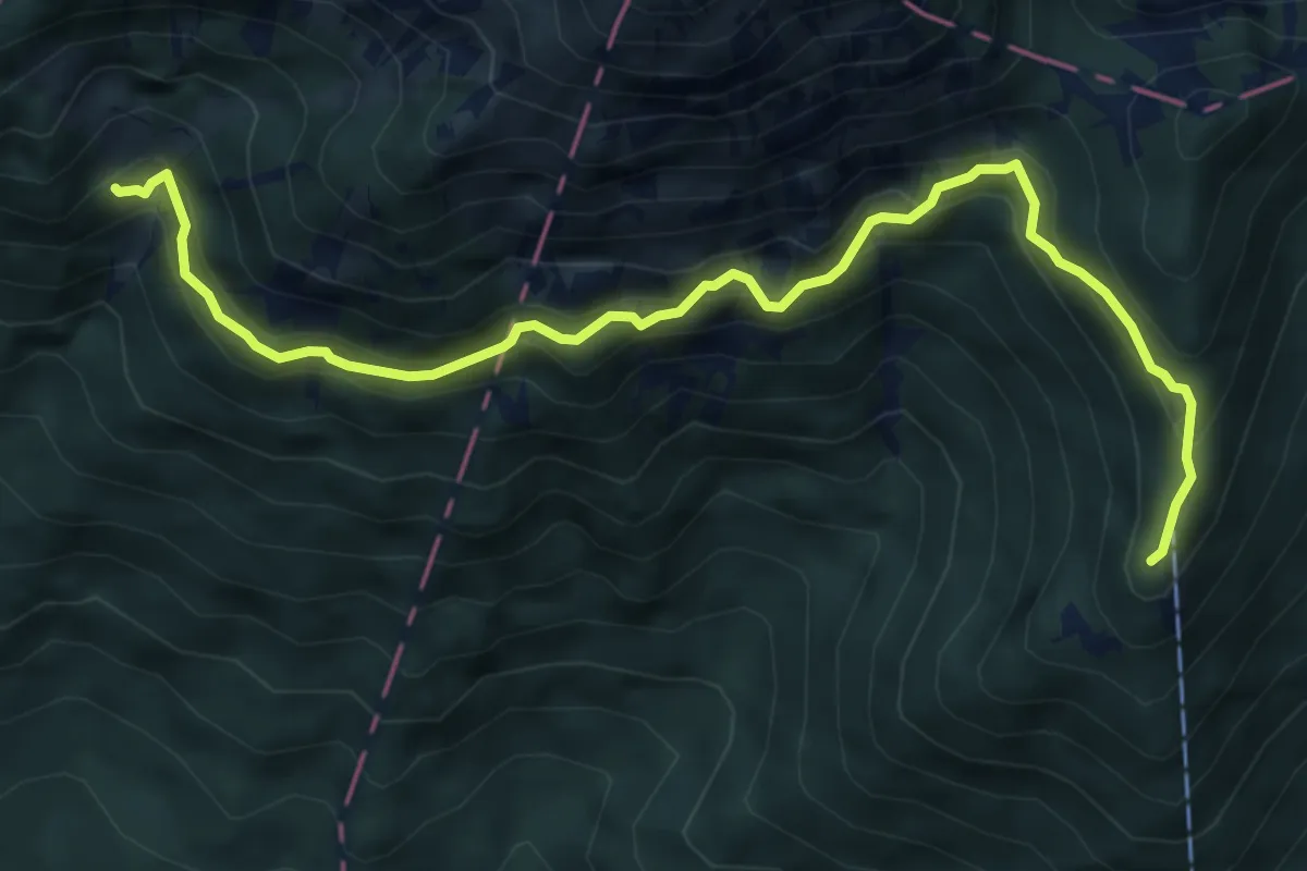
Demanding · Cabin
Pl. Javornik - Kališče
6.9 km · ↑ 633 m · 2 h 59 min · 12 km away
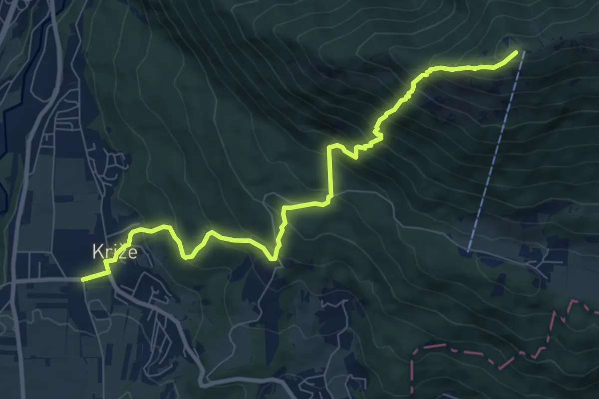
Demanding · Summit
Križe - Zg. Vetrno - Koča na Kriški gori
8.3 km · ↑ 956 m · 4 h 2 min · 12 km away
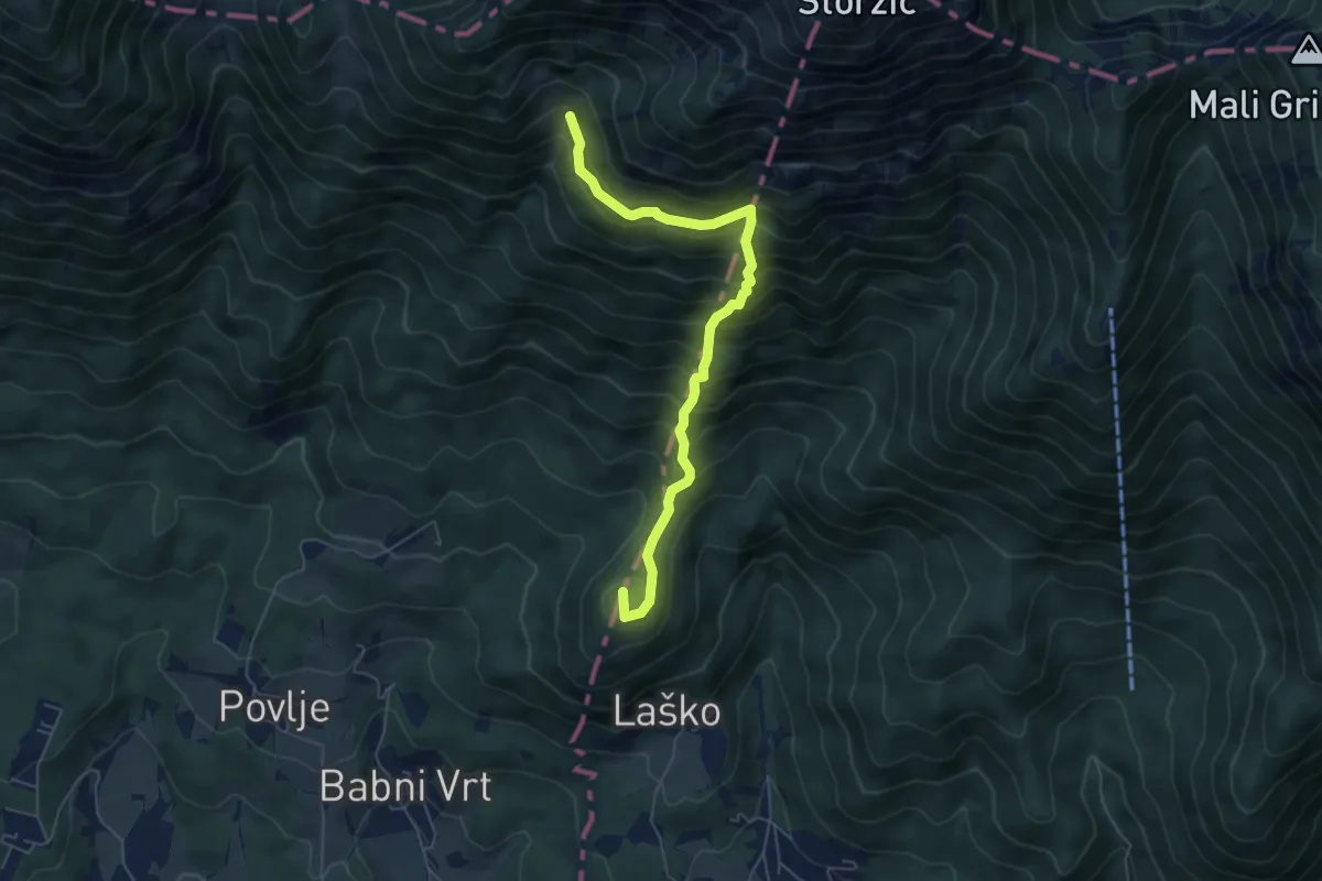
Medium · Summit
Laško - Sv. Lovrenc - Pl. Javornik
5.8 km · ↑ 777 m · 3 h 4 min · 12 km away
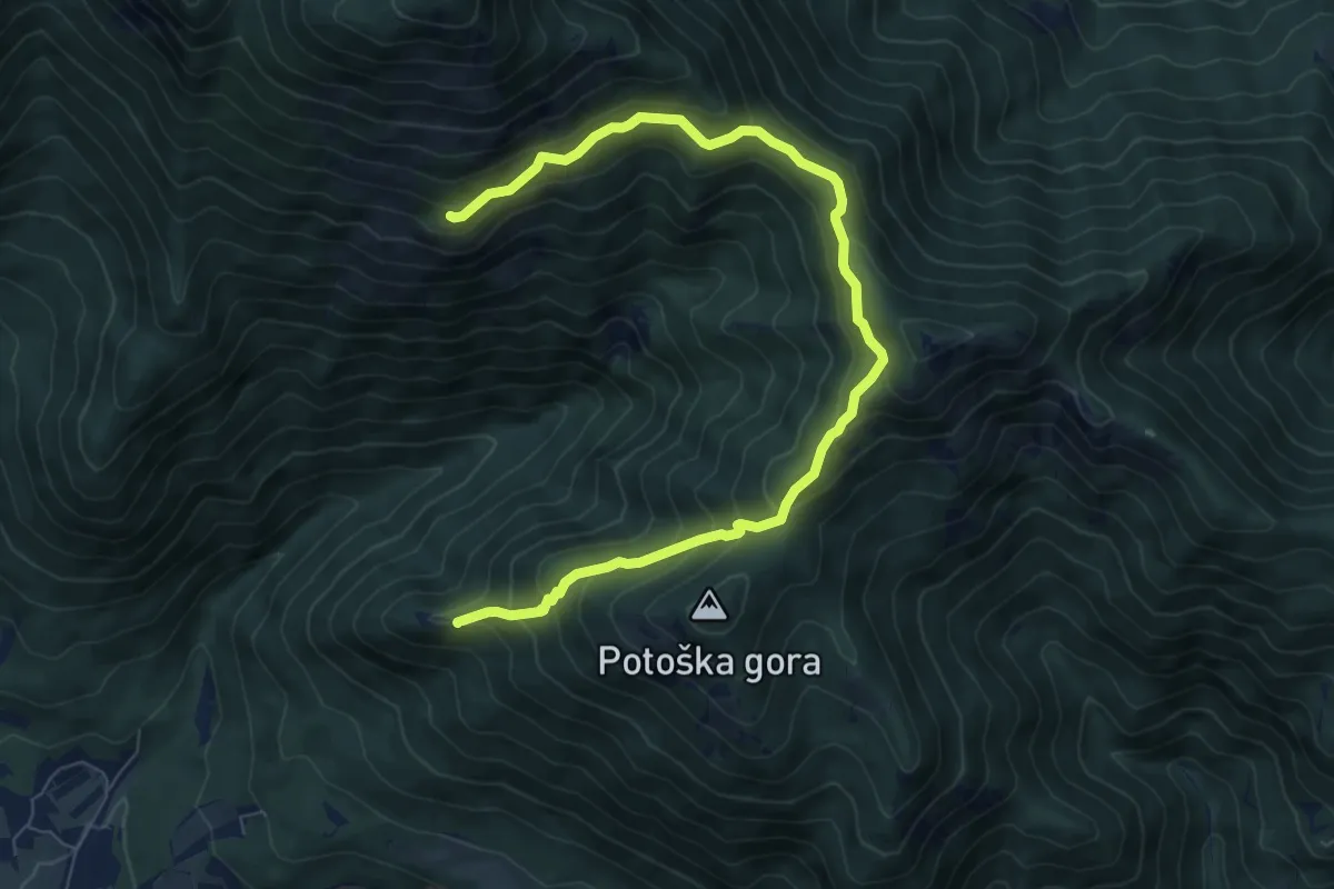
Medium · Summit
Sv. Jakob - Hudičev boršt
8.9 km · ↑ 686 m · 3 h 36 min · 12 km away