Trails near Krško
21 hikes starting within 15 km, nearest first.
Nearest first
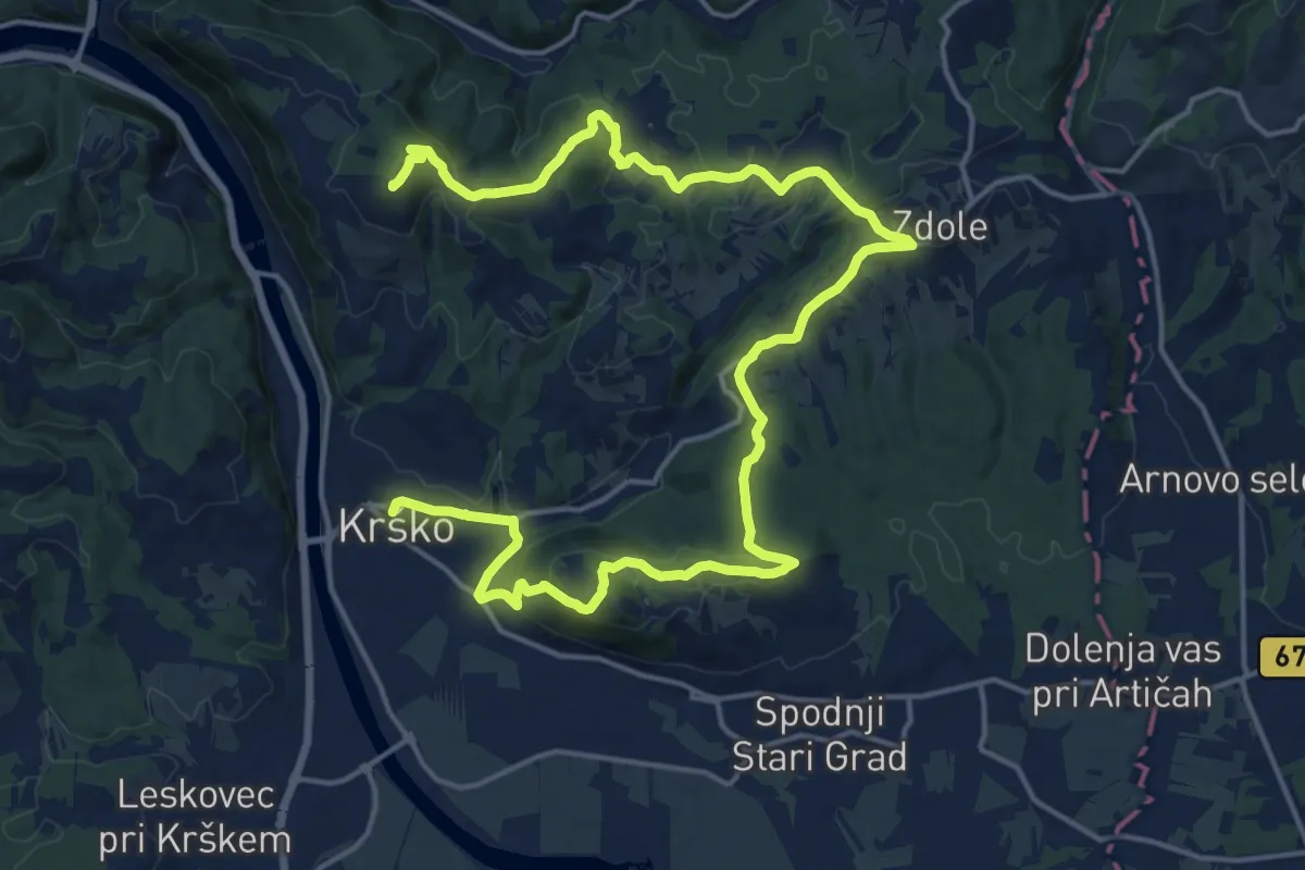
Demanding · Summit
Krško - Libna - Grmada
25.0 km · ↑ 745 m · 7 h 31 min · under 1 km away
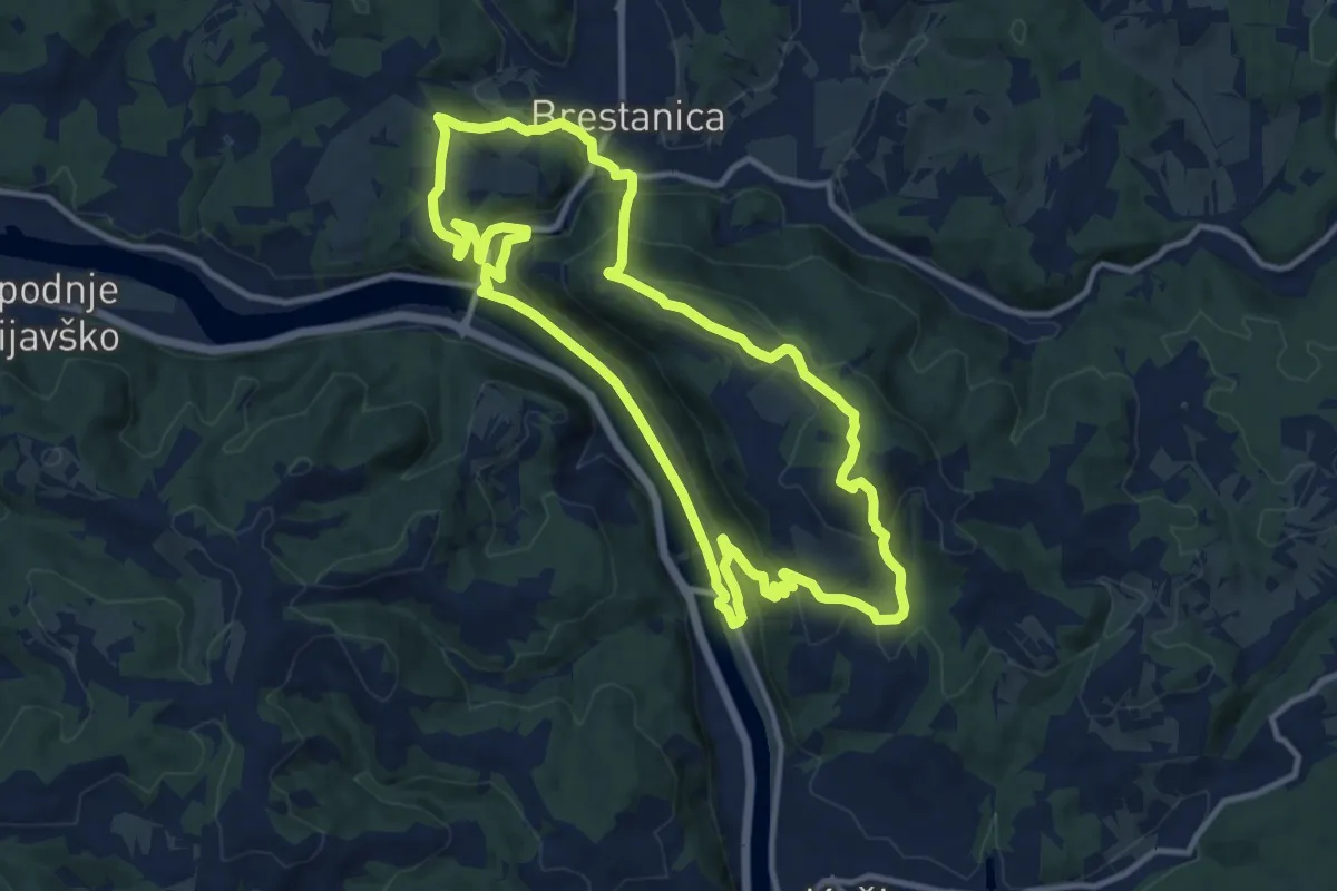
Medium · Summit
Pot trapistov
11.6 km · ↑ 501 m · 4 h · 2 km away
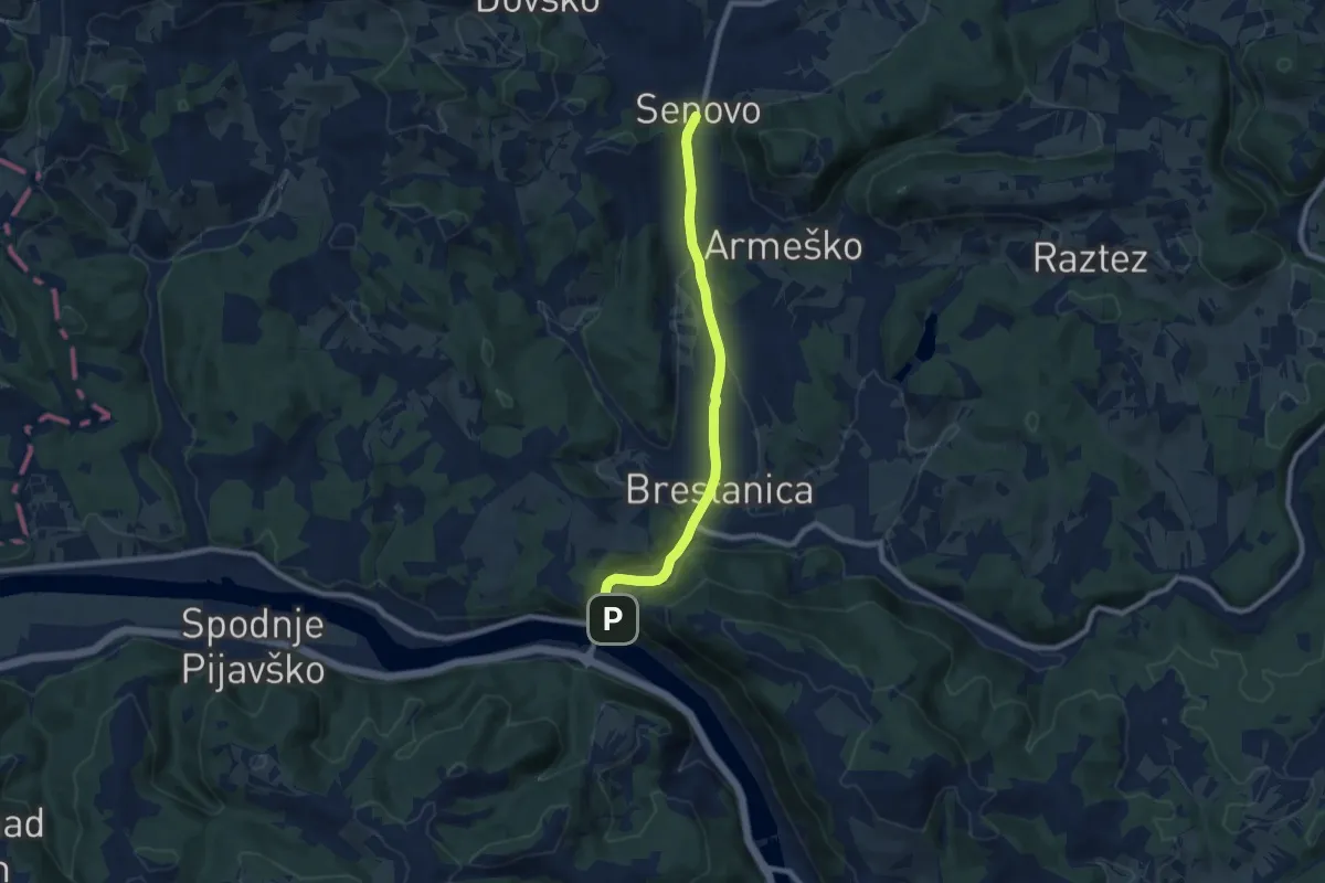
Easy · Trail
Brestanica - Senovo
7.9 km · ↑ 137 m · 2 h 10 min · 4 km away
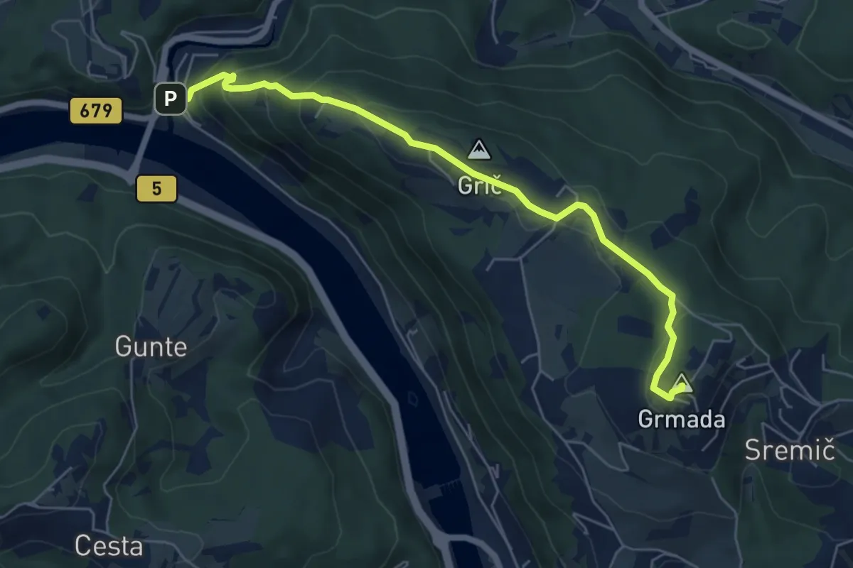
Medium · Summit
Krško - Grmada - Brestanica
6.1 km · ↑ 329 m · 2 h 9 min · 4 km away
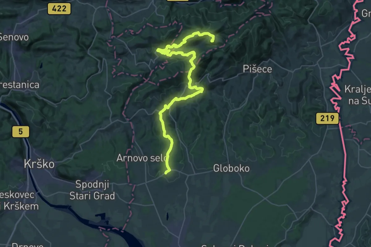
Demanding · Summit
Po poteh kozjanskih borcev
34.1 km · ↑ 1329 m · 10 h 56 min · 7 km away
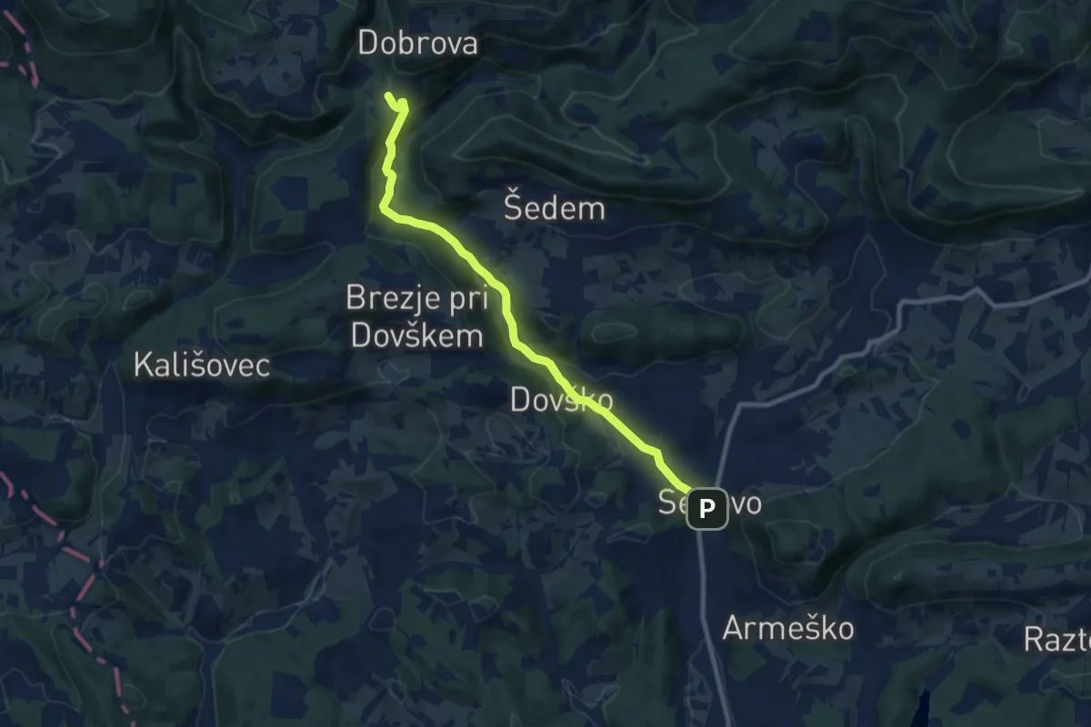
Medium · Trail
Senovo - Jablance
9.0 km · ↑ 272 m · 2 h 43 min · 7 km away
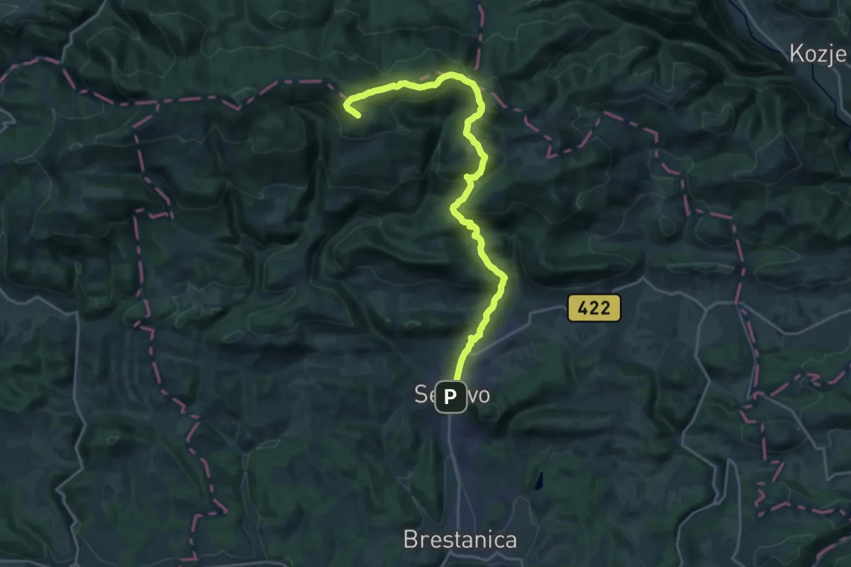
Demanding · Summit
Senovo - Reštanj - Koča na Bohorju
20.0 km · ↑ 878 m · 6 h 38 min · 7 km away
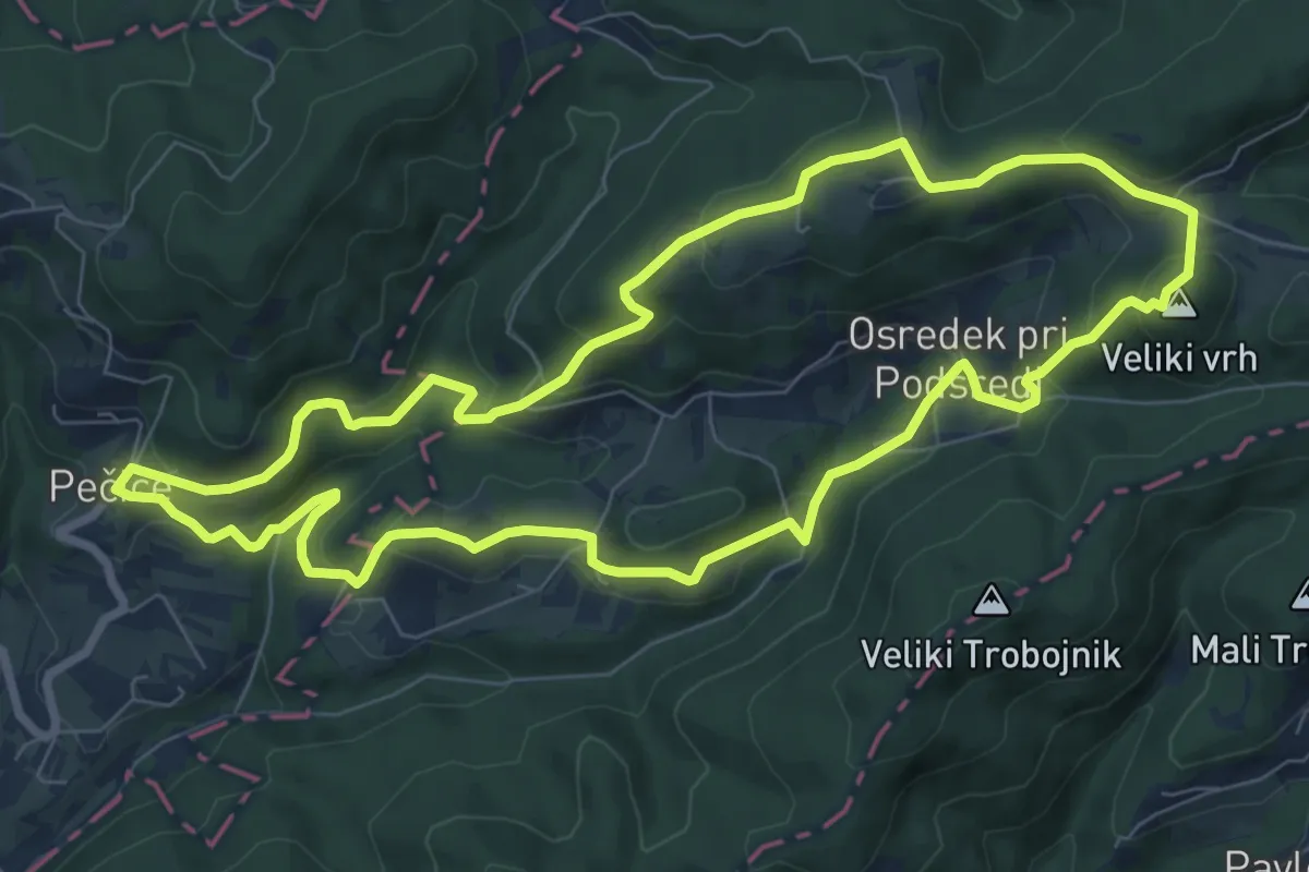
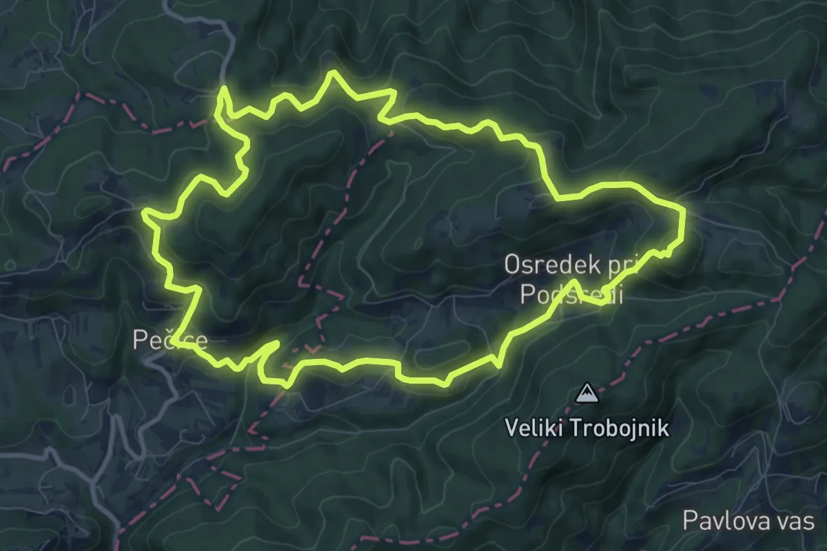
Medium · Summit
Pot suverenosti (krajša)
8.4 km · ↑ 412 m · 3 h · 10 km away
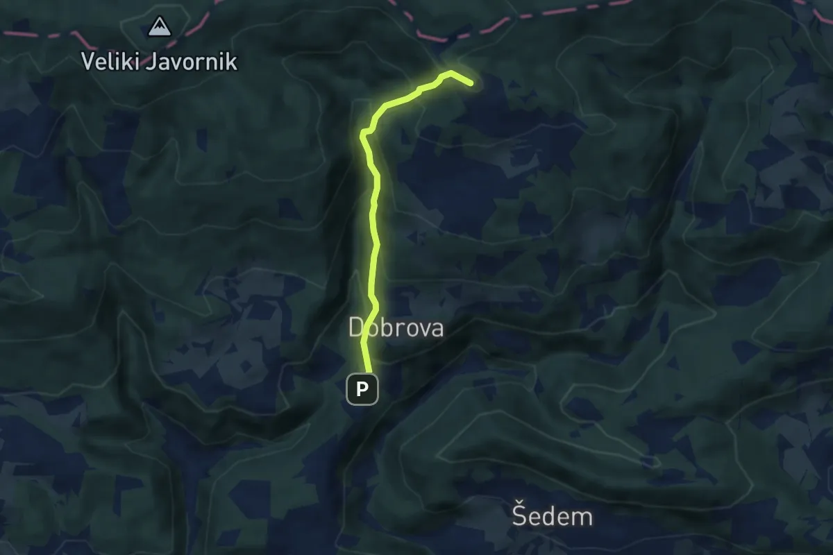
Medium · Summit
Pot suverenosti
10.8 km · ↑ 565 m · 3 h 56 min · 10 km away
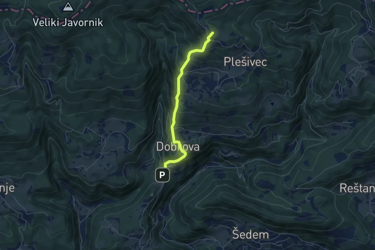
Medium · Summit
Jablance - Koča na Bohorju (grebenska)
5.2 km · ↑ 475 m · 2 h 15 min · 11 km away
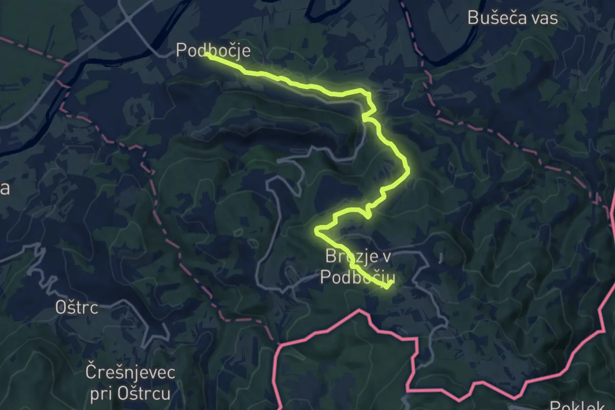
Medium · Summit
Jablance - Koča na Bohorju
5.1 km · ↑ 447 m · 2 h 11 min · 11 km away
Medium · Summit
Podbočje - Hrastek - Planina
14.4 km · ↑ 618 m · 4 h 45 min · 11 km away
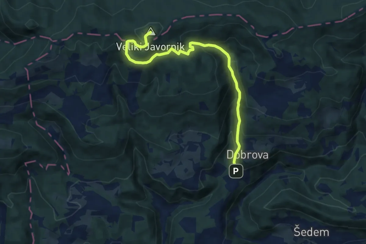
Medium · Summit
Jablance - Partizanska bolnica - Javornik
9.6 km · ↑ 618 m · 3 h 36 min · 11 km away
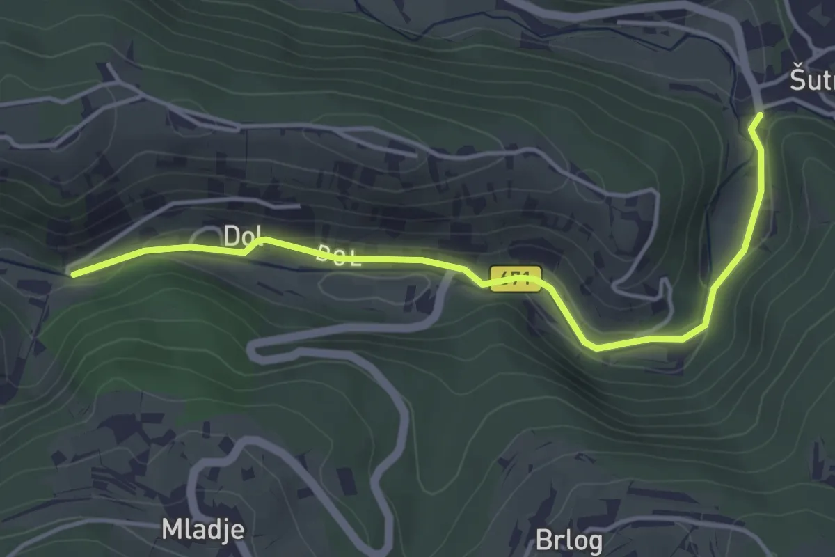
Easy · Trail
Dol - Šutna
4.4 km · ↑ 50 m · 1 h 8 min · 11 km away
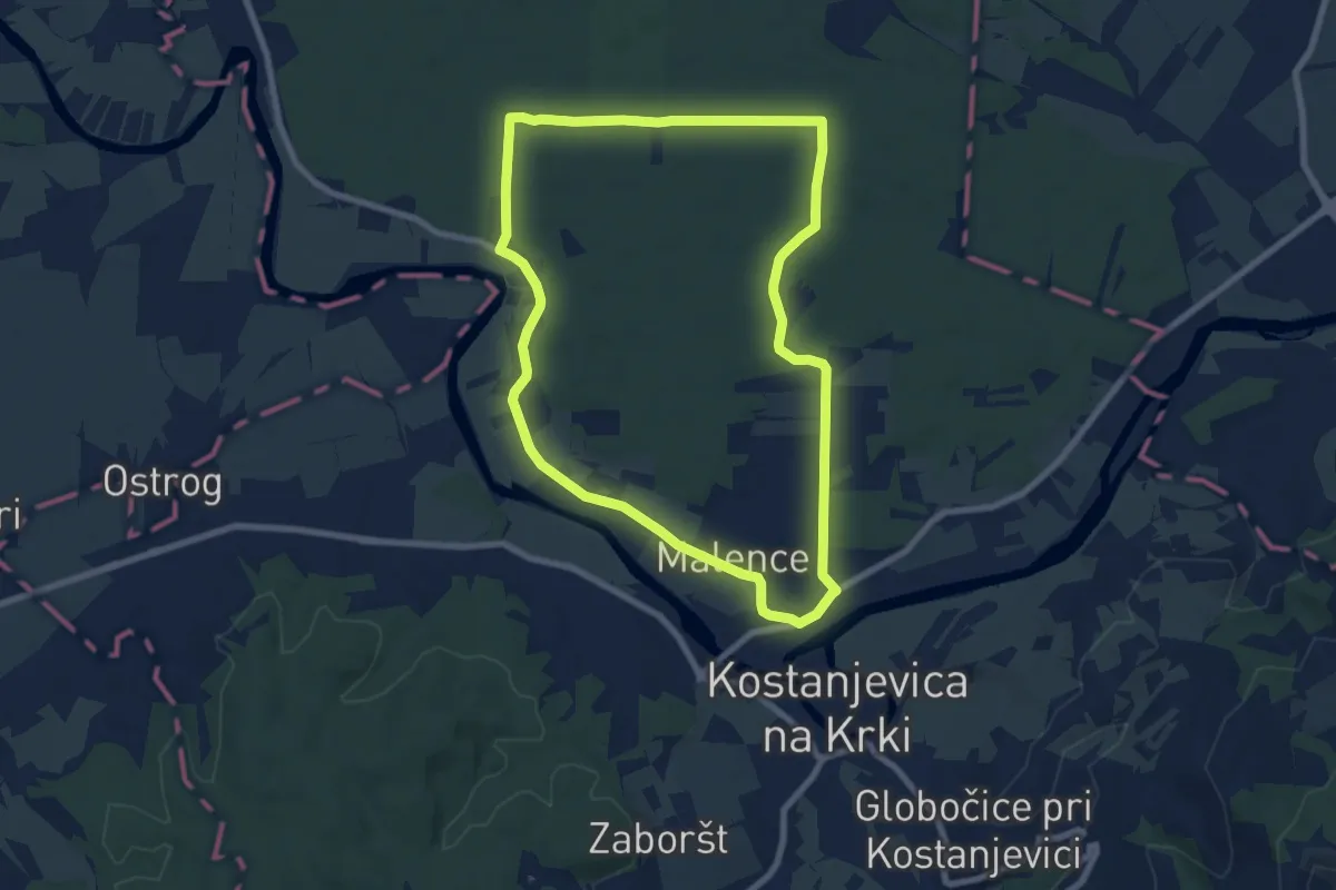
Easy · Trail
Ressljeva gozdna učna pot
7.9 km · ↑ 22 m · 2 h 1 min · 12 km away
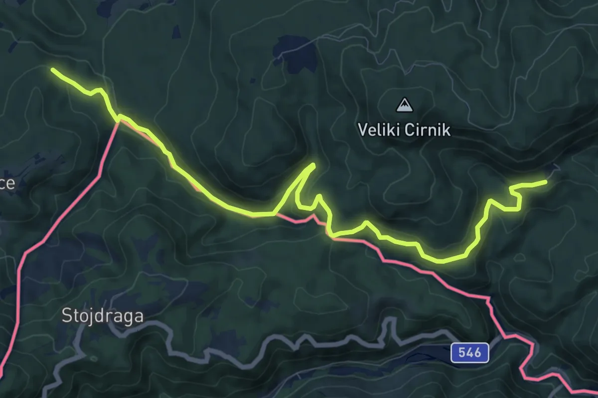
Easy · Pilgrim path
Jakobova pot – Dolenjska veja
6.1 km · ↑ 289 m · 2 h 5 min · 12 km away
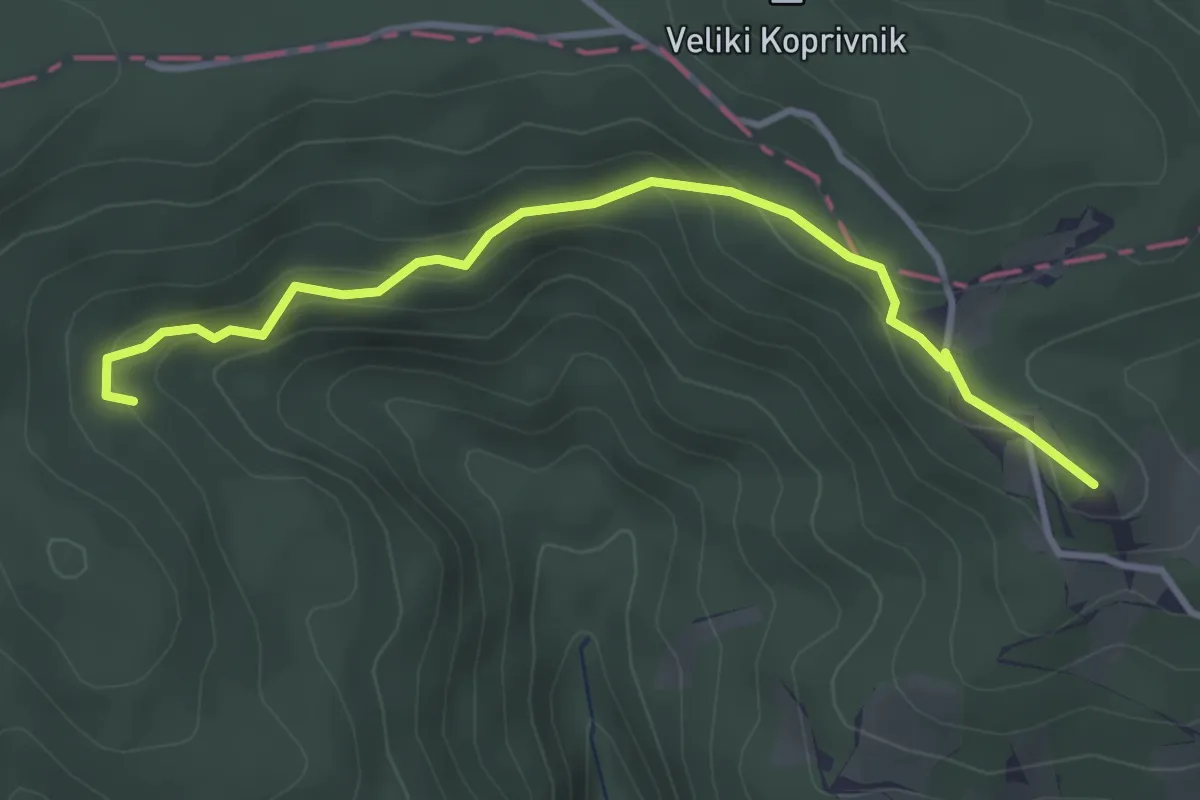
Easy · Summit
Koča na Bohorju - Partizanska bolnišnica
3.6 km · ↑ 191 m · 1 h 16 min · 13 km away
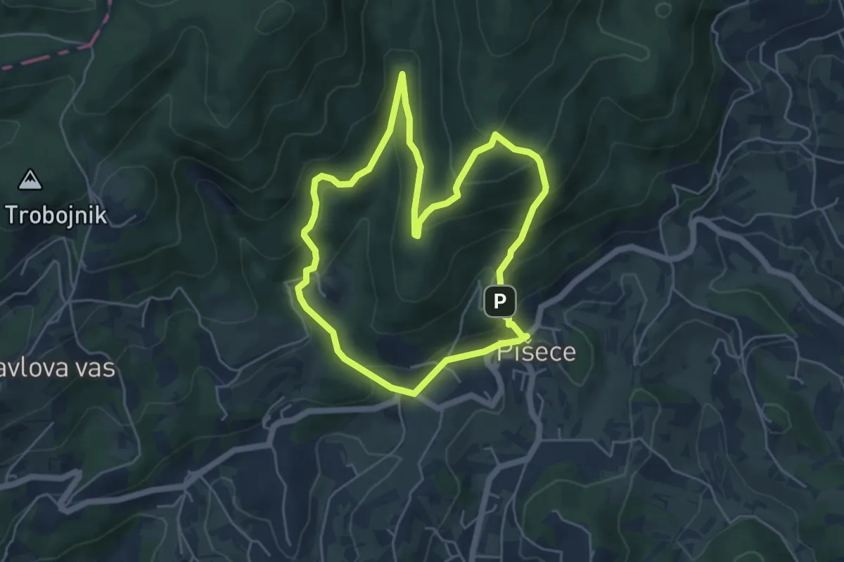
Medium · Trail
Gozdna pot Pišece
4.8 km · ↑ 328 m · 1 h 55 min · 13 km away
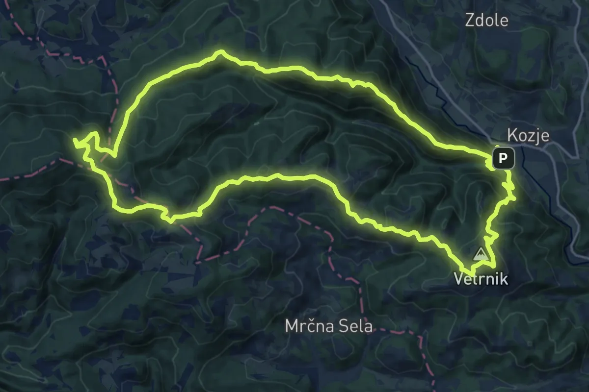
Demanding · Summit
Krožna Zmajeva pot
19.3 km · ↑ 1092 m · 7 h 12 min · 14 km away
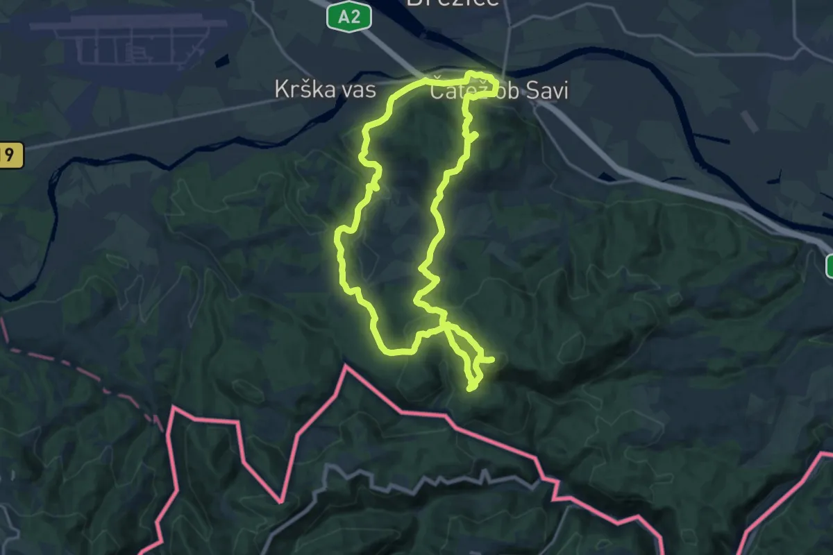
Medium · Summit
Brežiška planinska pot
16.3 km · ↑ 767 m · 5 h 44 min · 14 km away
Medium · Summit
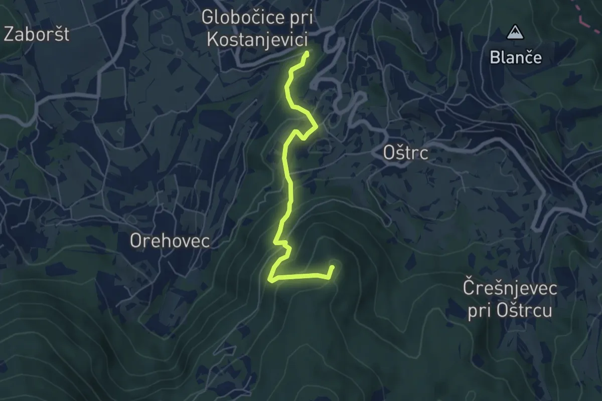
Kostanjeviška jama - Kičer
5.3 km · ↑ 399 m · 2 h 7 min · 14 km away