Trails near Laško
84 hikes starting within 15 km, nearest first.
Nearest first, page 2 of 2
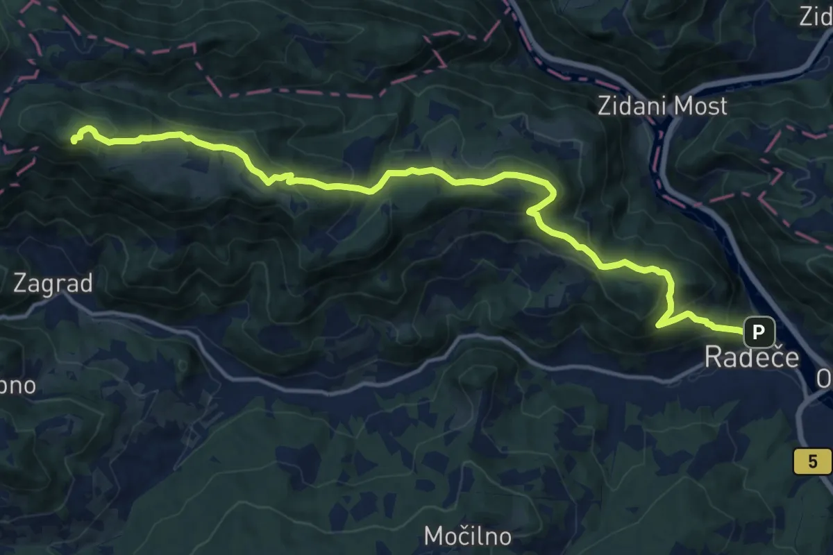
Demanding · Summit
Radeče - Nebeška gora
15.8 km · ↑ 860 m · 5 h 36 min · 10 km away
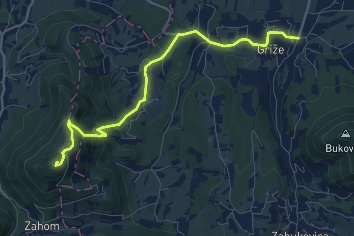
Medium · Summit
Griže - Hom
8.2 km · ↑ 425 m · 2 h 51 min · 10 km away
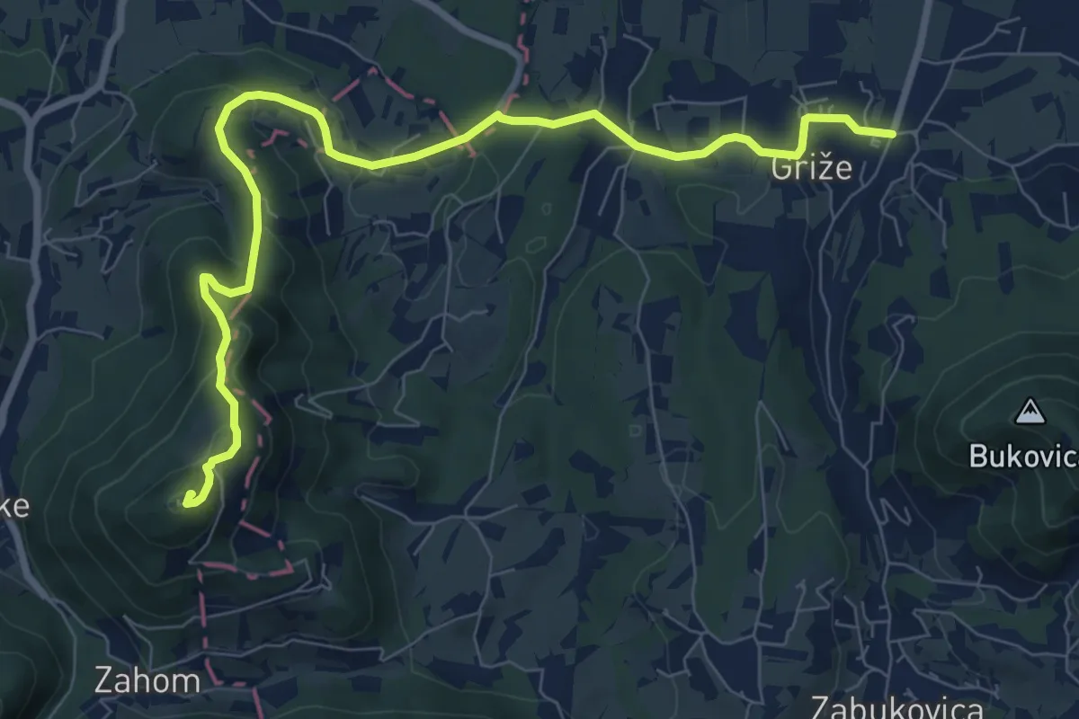
Medium · Summit
Griže - Lajnarjev hrib - Hom
9.3 km · ↑ 400 m · 3 h 4 min · 10 km away
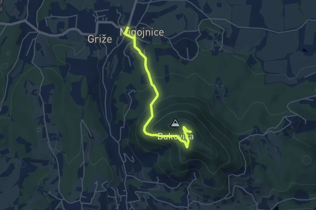
Easy · Summit
Migojnice - Bukovica
4.2 km · ↑ 305 m · 1 h 39 min · 10 km away
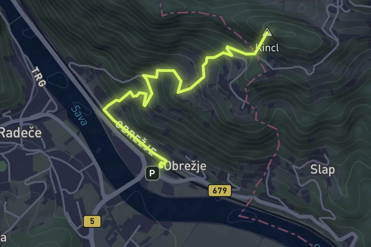
Medium · Summit
Radeče - Veliko Kozje
4.6 km · ↑ 434 m · 2 h 1 min · 11 km away
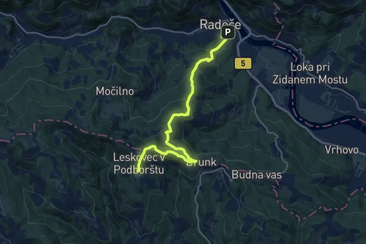
Medium · Summit
Radeče - Leskovec
13.2 km · ↑ 640 m · 4 h 30 min · 11 km away
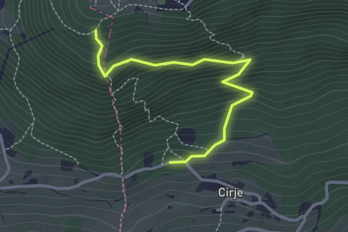
Easy · Trail
Pastirčkova pot
2.4 km · ↑ 267 m · 1 h 8 min · 11 km away
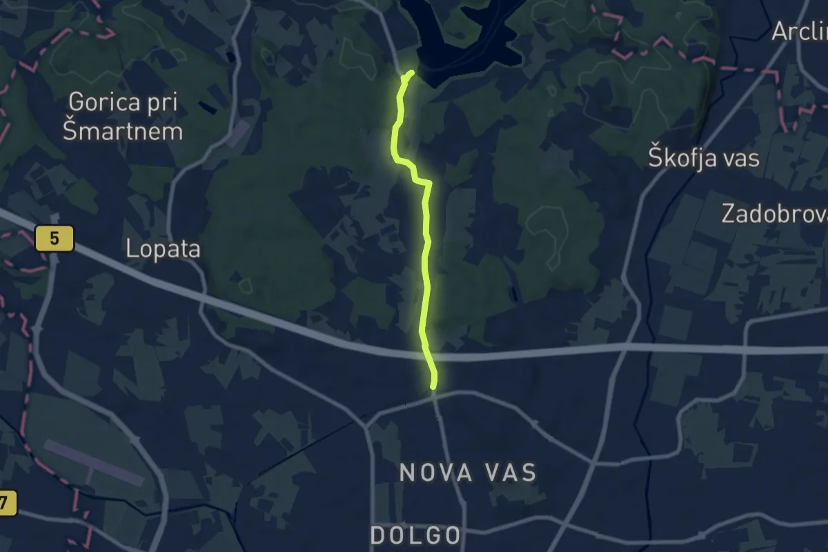
Easy · Trail
Zg. Hudinja - Šmartinsko jezero
6.0 km · ↑ 86 m · 1 h 36 min · 11 km away
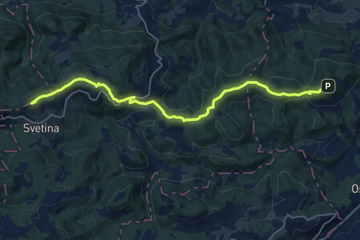
Medium · Summit
Dom na Svetini - Resevna
13.0 km · ↑ 633 m · 4 h 26 min · 11 km away
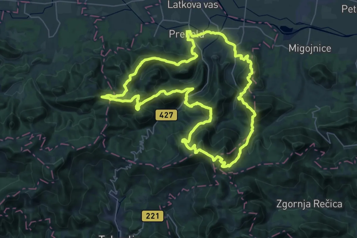
Demanding · Summit
Preboldska planinska pot
30.3 km · ↑ 2411 m · 12 h 48 min · 11 km away
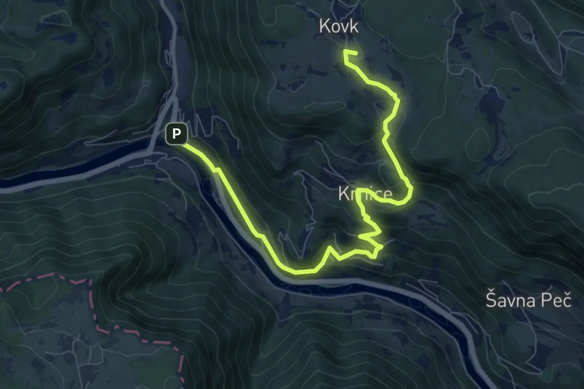
Medium · Summit
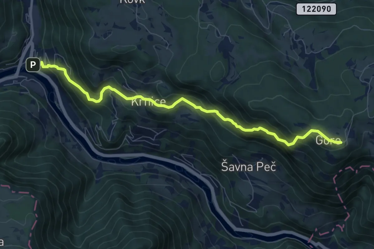
Hrastnik - Kovk - Gore
9.3 km · ↑ 481 m · 3 h 14 min · 11 km away
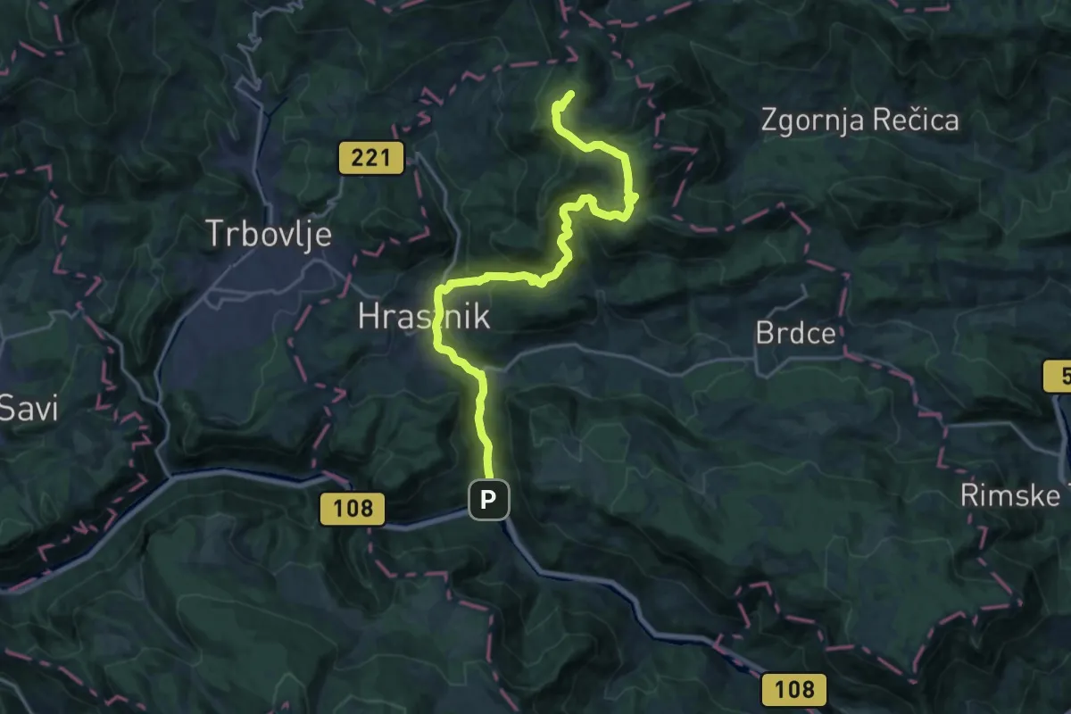
Demanding · Cabin
Hrastnik - Blate - Kal
20.3 km · ↑ 947 m · 6 h 50 min · 11 km away
Medium · Cabin
Hrastnik - Dom Gore
8.6 km · ↑ 696 m · 3 h 32 min · 11 km away
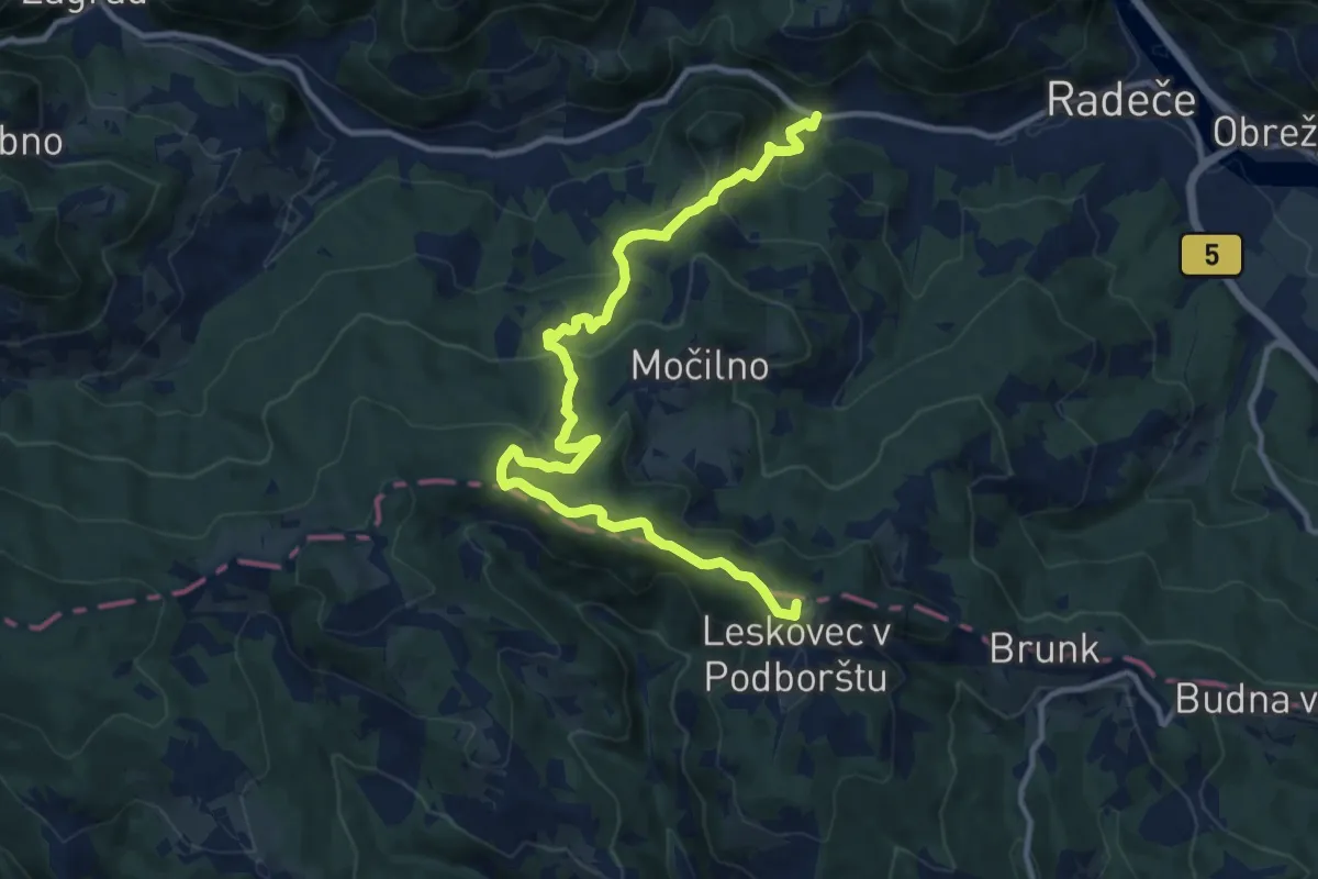
Medium · Summit
Njivice - Žebnik - Leskovec
13.2 km · ↑ 652 m · 4 h 31 min · 11 km away
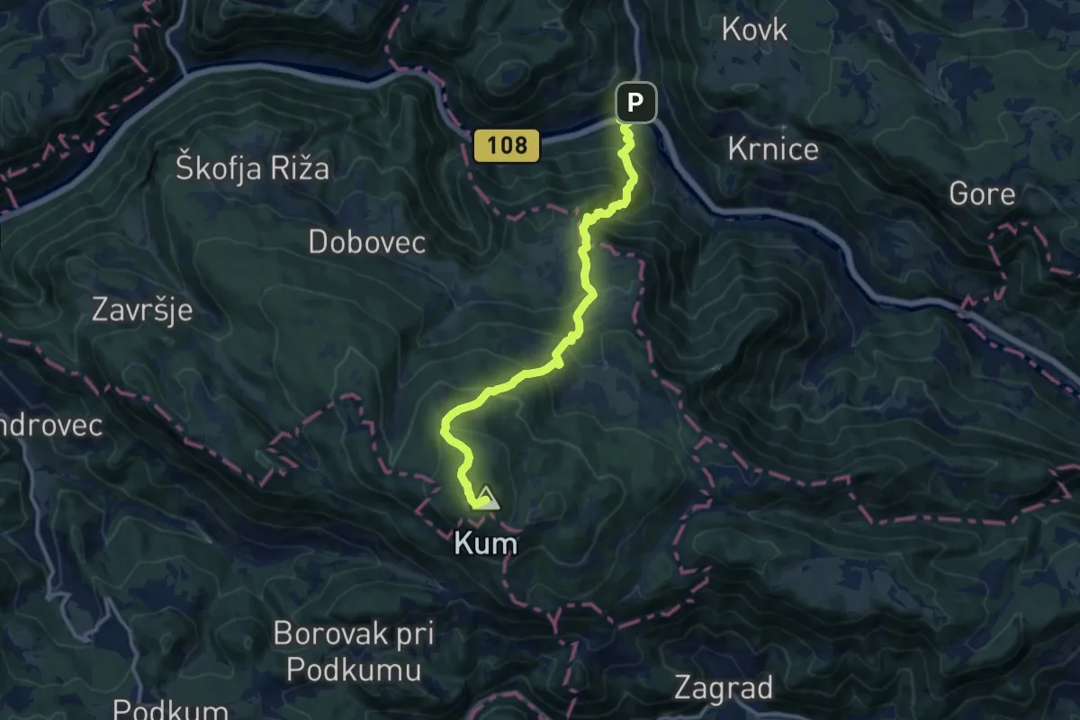
Demanding · Summit
Hrastnik - Kum
12.4 km · ↑ 1084 m · 5 h 17 min · 11 km away
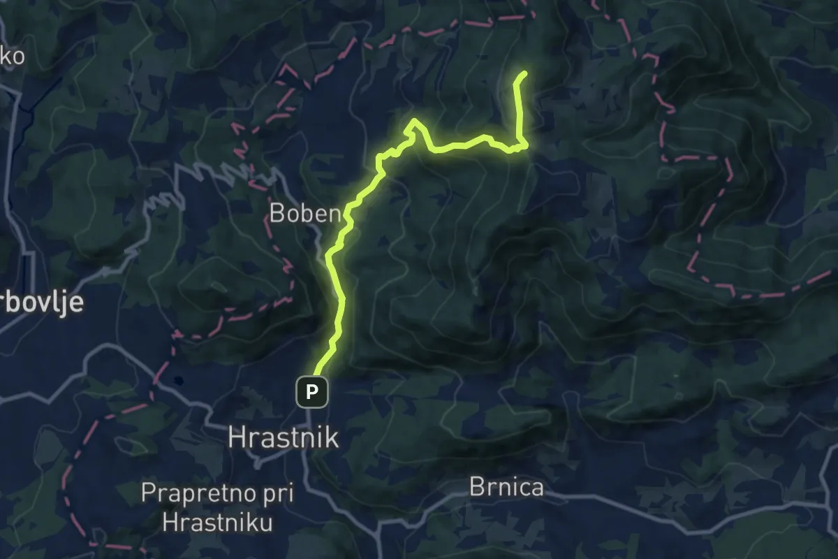
Medium · Cabin
Hrastnik - Ravne - Dom na Kalu
9.5 km · ↑ 706 m · 3 h 47 min · 12 km away
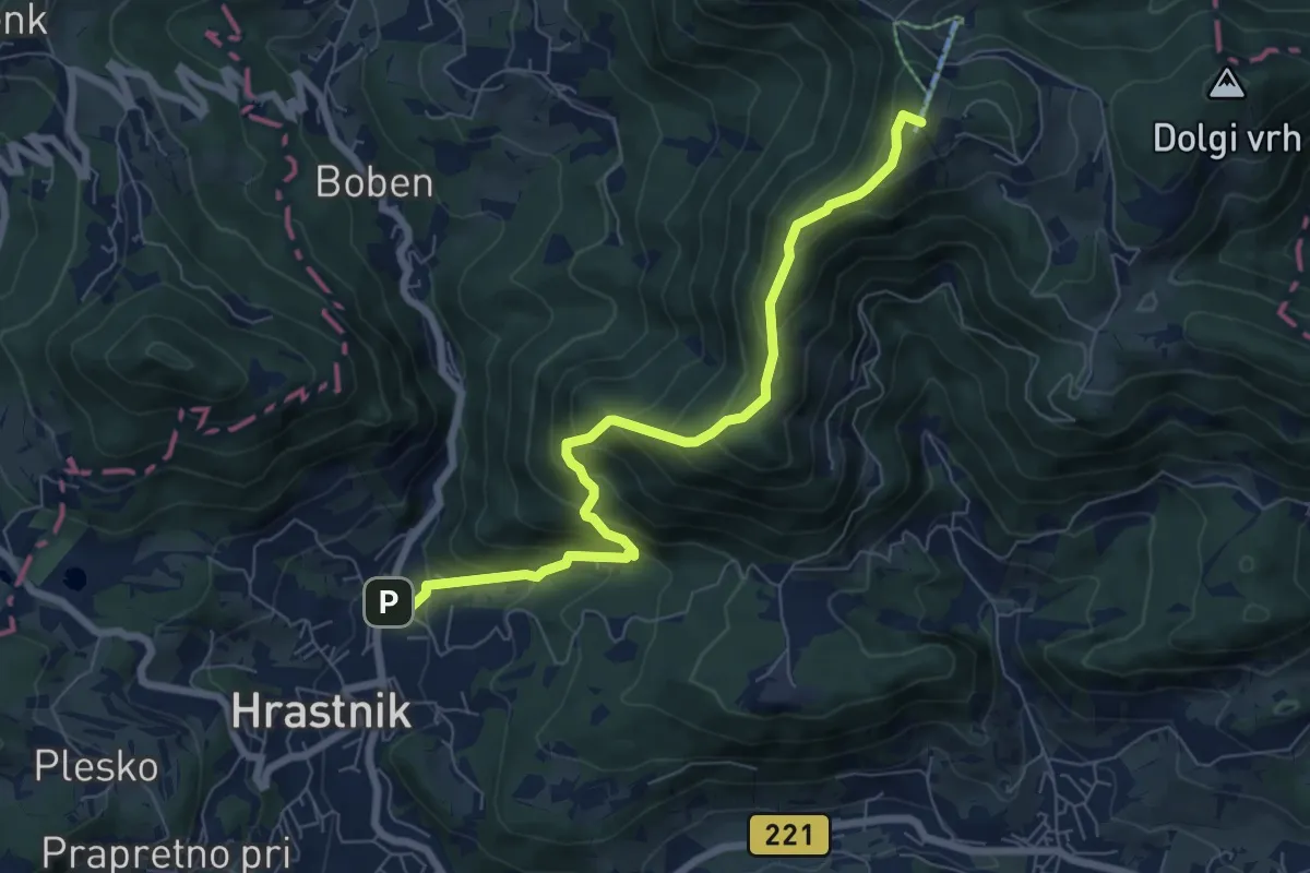
Medium · Summit
Hrastnik - Klobuk - Dom na Kalu
7.2 km · ↑ 654 m · 3 h 8 min · 12 km away
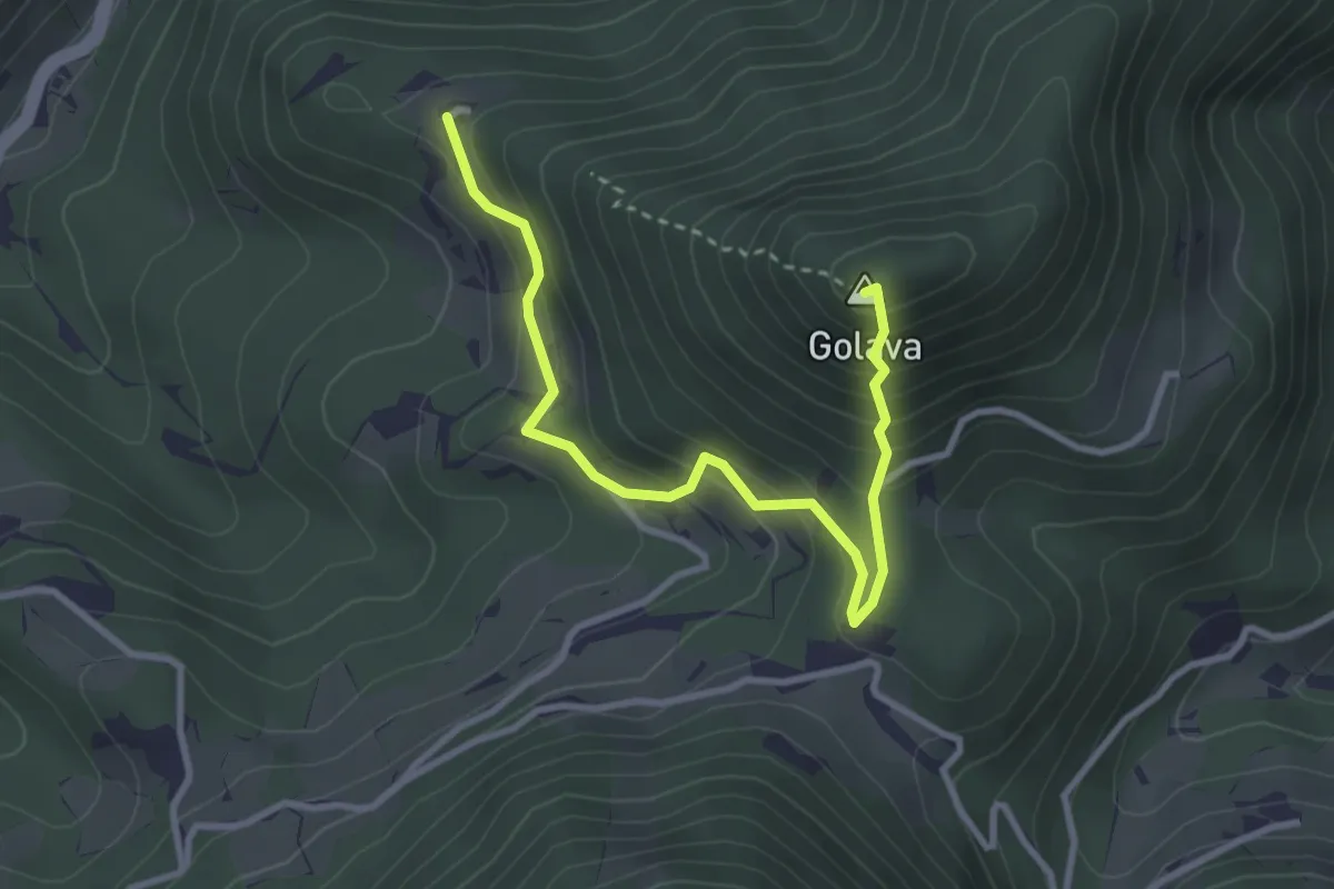
Demanding · Summit
Andrejeva pot
3.5 km · ↑ 382 m · 1 h 39 min · 12 km away
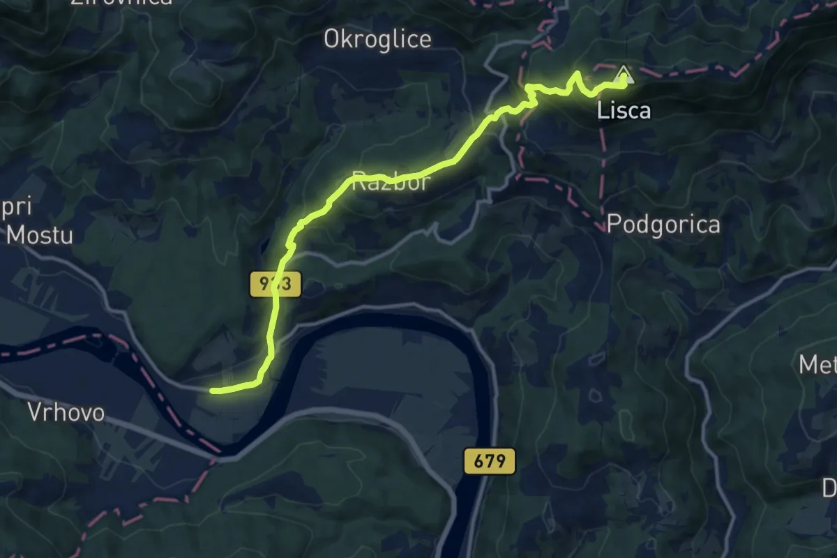
Medium · Summit
Breg - Razbor - Lisca
12.4 km · ↑ 748 m · 4 h 33 min · 12 km away
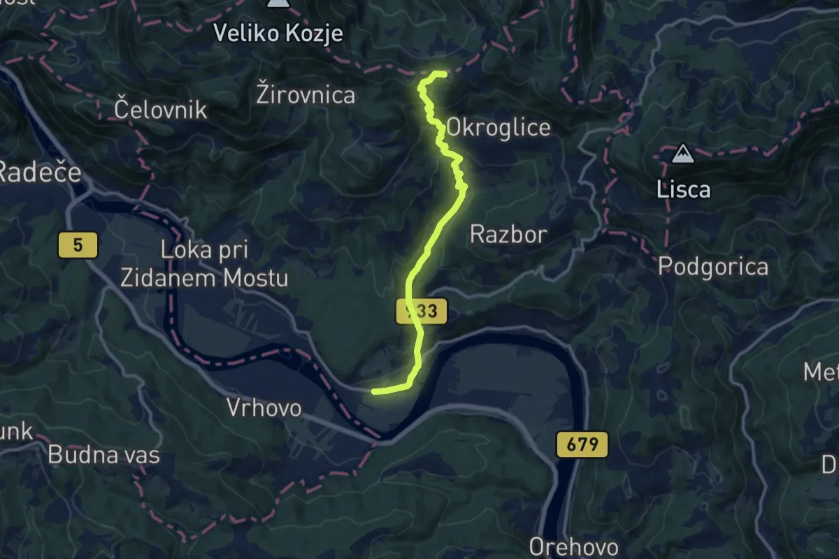
Medium · Summit
Breg - Lovrenc
10.7 km · ↑ 537 m · 3 h 41 min · 12 km away
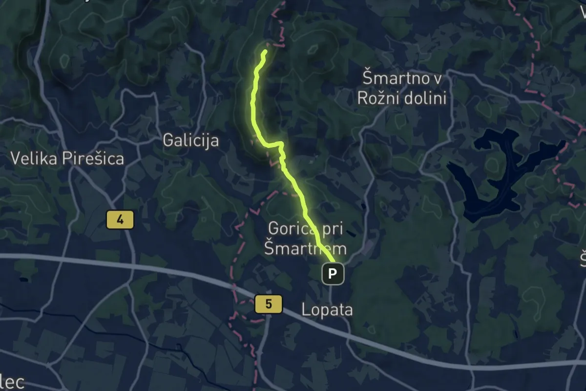
Medium · Summit
Lopata - Pl. dom na Gori
8.5 km · ↑ 386 m · 2 h 50 min · 13 km away
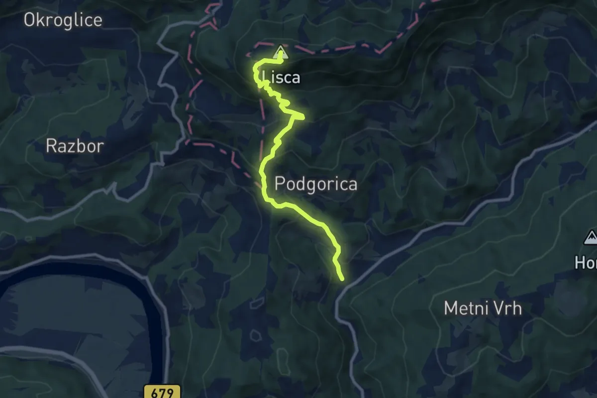
Medium · Summit
Krakovo - Cirje - Lisca
8.0 km · ↑ 694 m · 3 h 23 min · 13 km away
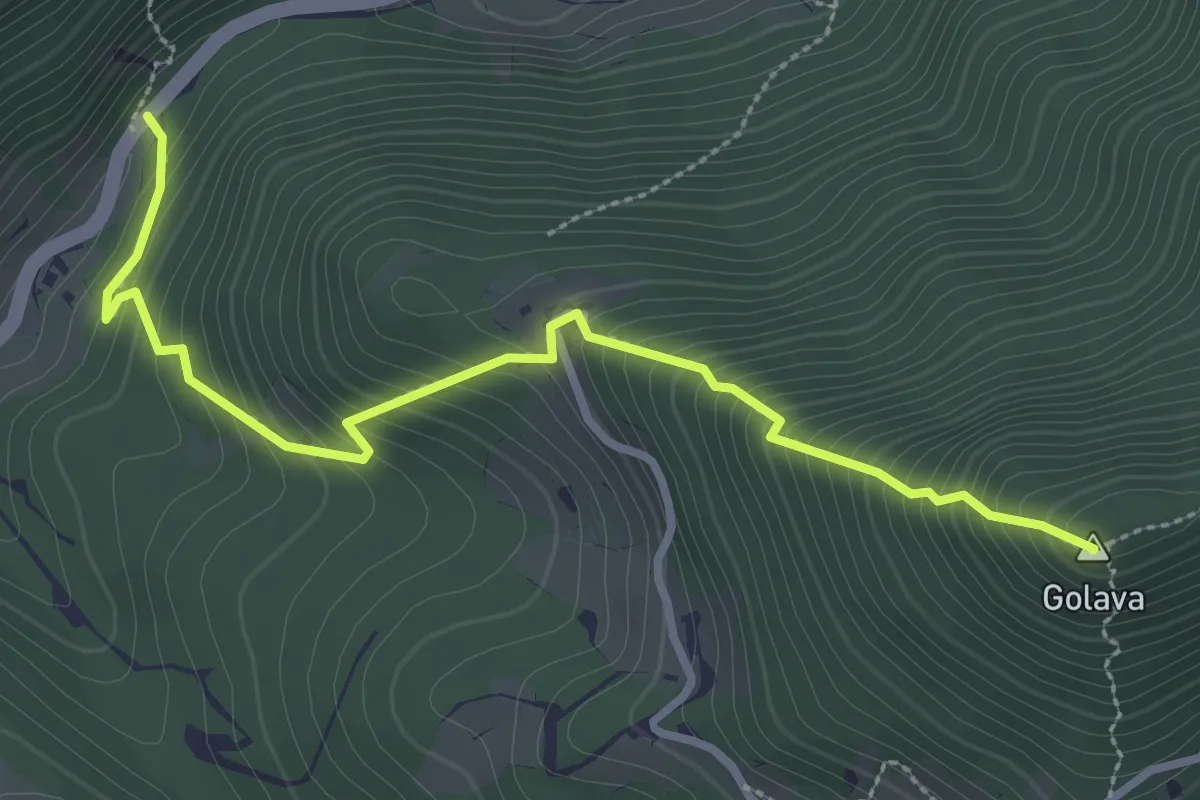
Demanding · Summit
Zvonetova pot
3.3 km · ↑ 427 m · 1 h 43 min · 13 km away
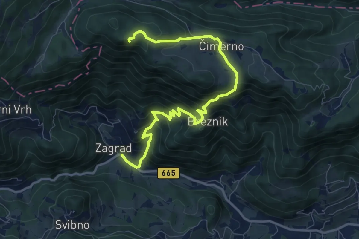
Medium · Summit
Zagrad - Nebeška gora
9.3 km · ↑ 653 m · 3 h 37 min · 14 km away
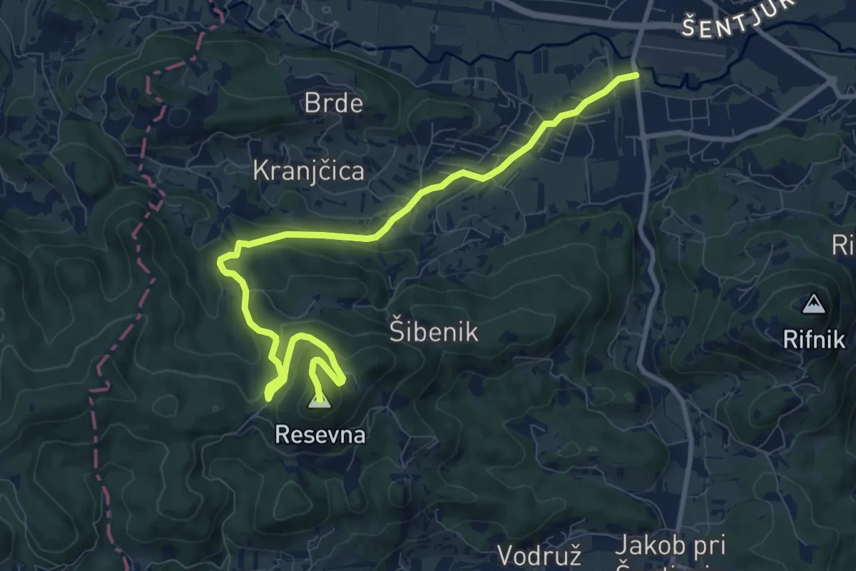
Medium · Summit
Šentjur - Resevna (po cesti)
10.8 km · ↑ 449 m · 3 h 32 min · 14 km away
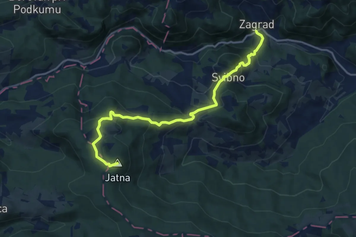
Medium · Summit
Zagrad - Svibno - Leskovec
10.5 km · ↑ 617 m · 3 h 48 min · 14 km away
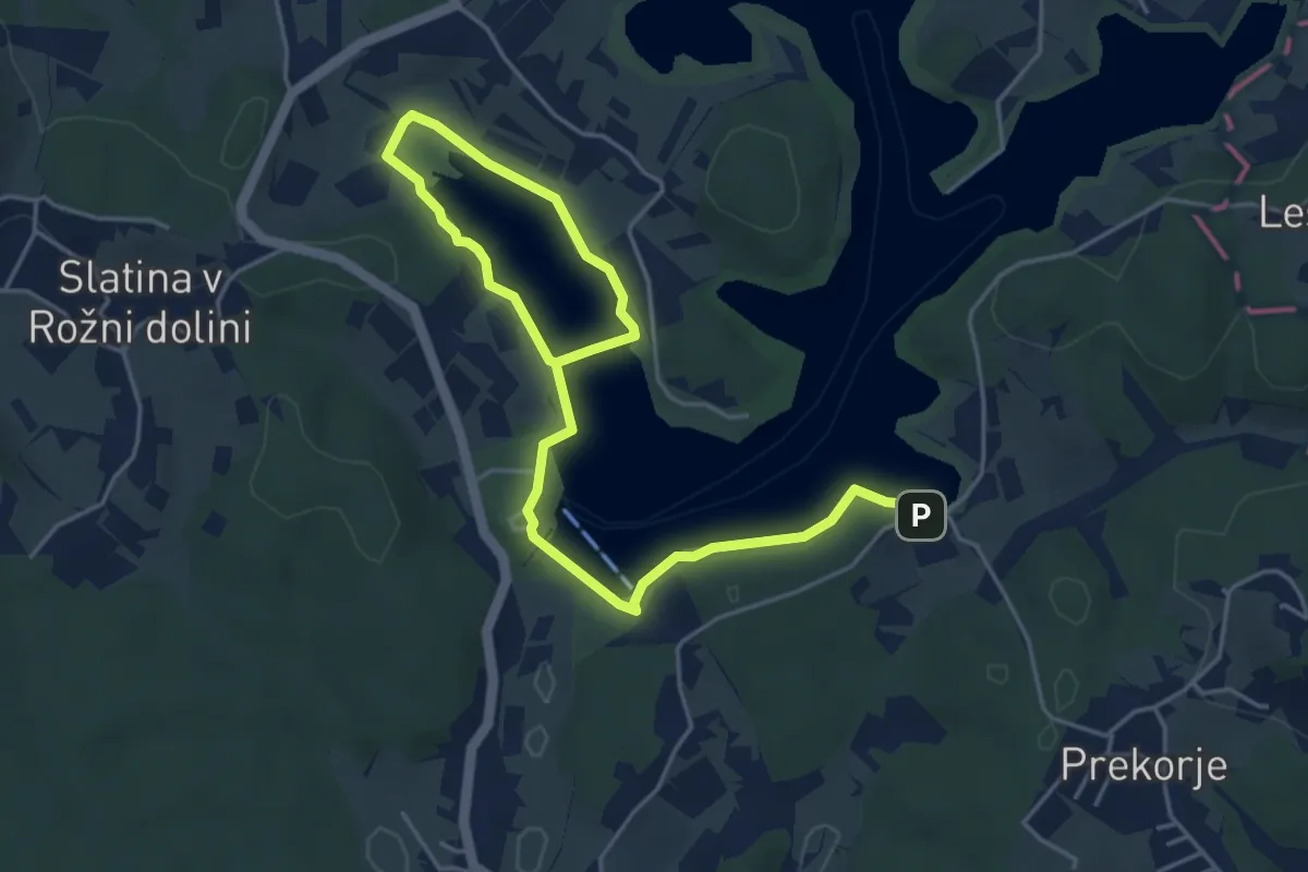
Easy · Trail
Ekosistemska učna pot Šmartinsko jezero
6.5 km · ↑ 65 m · 1 h 41 min · 14 km away
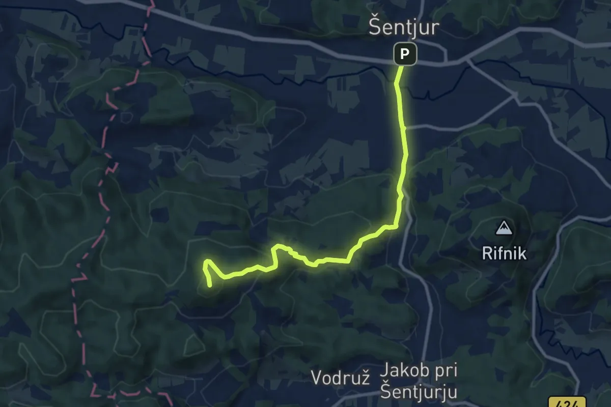
Medium · Summit
Šentjur - Ferležev mlin - Resevna
9.2 km · ↑ 470 m · 3 h 12 min · 14 km away
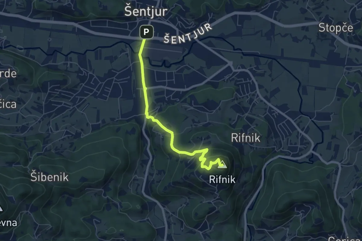
Easy · Summit
Šentjur - Rifnik
6.2 km · ↑ 306 m · 2 h 8 min · 14 km away
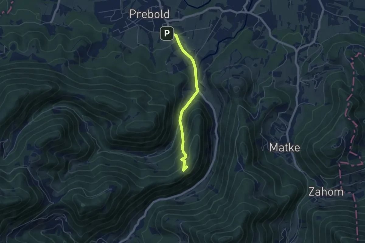
Easy · Summit
Prebold - Gradišče
4.7 km · ↑ 239 m · 1 h 38 min · 14 km away
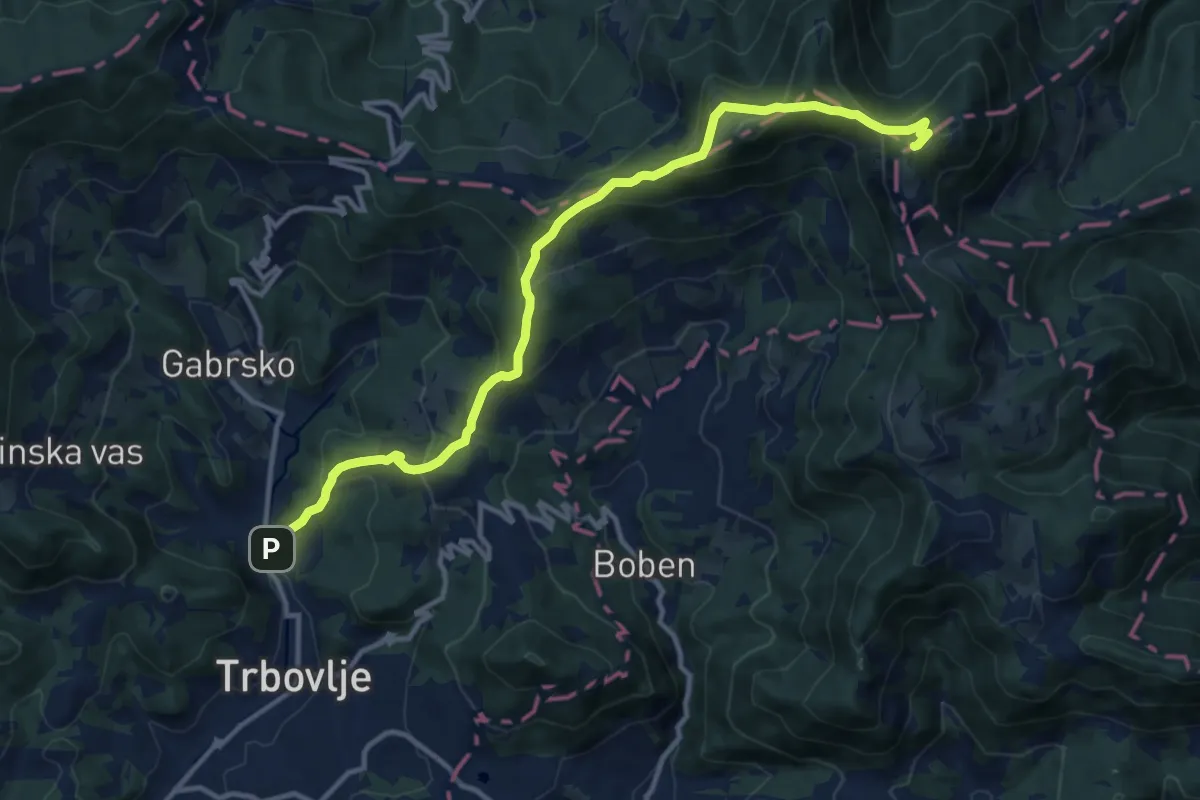
Demanding · Summit
Trbovlje - Mrzlica
13.4 km · ↑ 842 m · 4 h 59 min · 14 km away
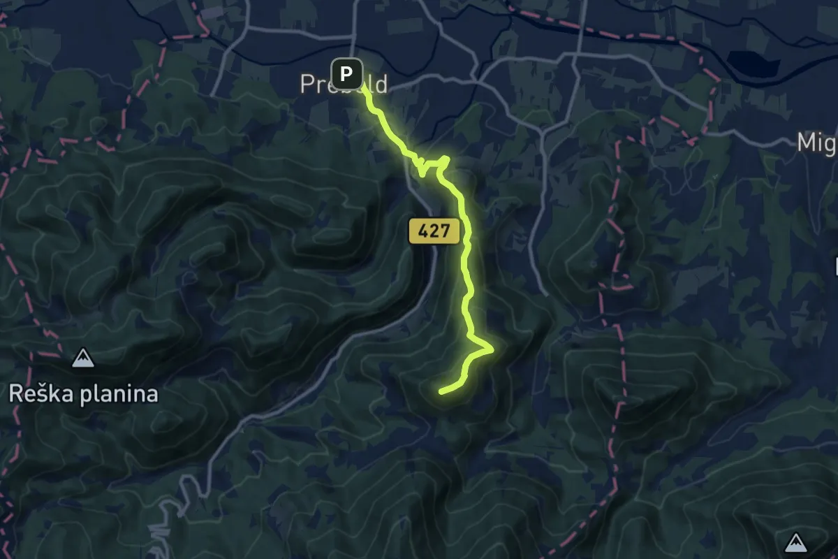
Medium · Summit
Prebold - Golava
9.9 km · ↑ 558 m · 3 h 33 min · 14 km away
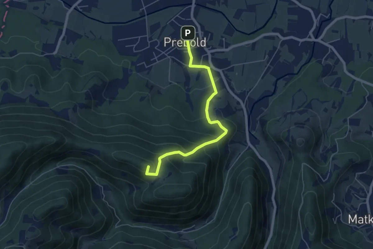
Medium · Summit
Prebold - Žvajga - Dom pod Reško pl.
5.2 km · ↑ 328 m · 1 h 56 min · 14 km away
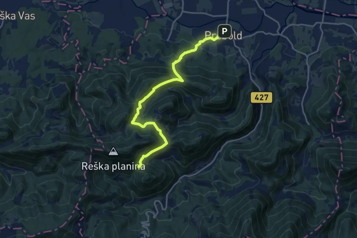
Demanding · Cabin
Prebold - Dom pod Reško pl.
12.5 km · ↑ 804 m · 4 h 42 min · 14 km away
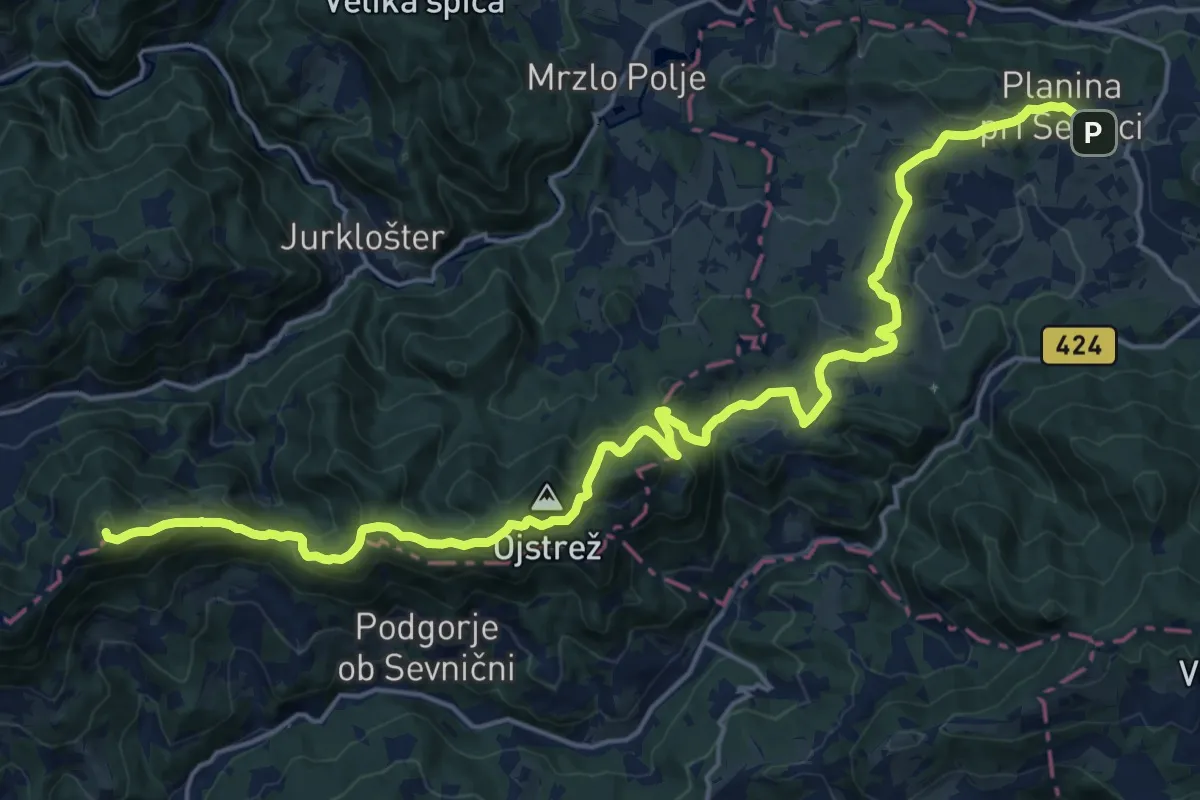
Demanding · Summit
Planina pri Sevnici - Ješivec
24.4 km · ↑ 984 m · 7 h 54 min · 14 km away
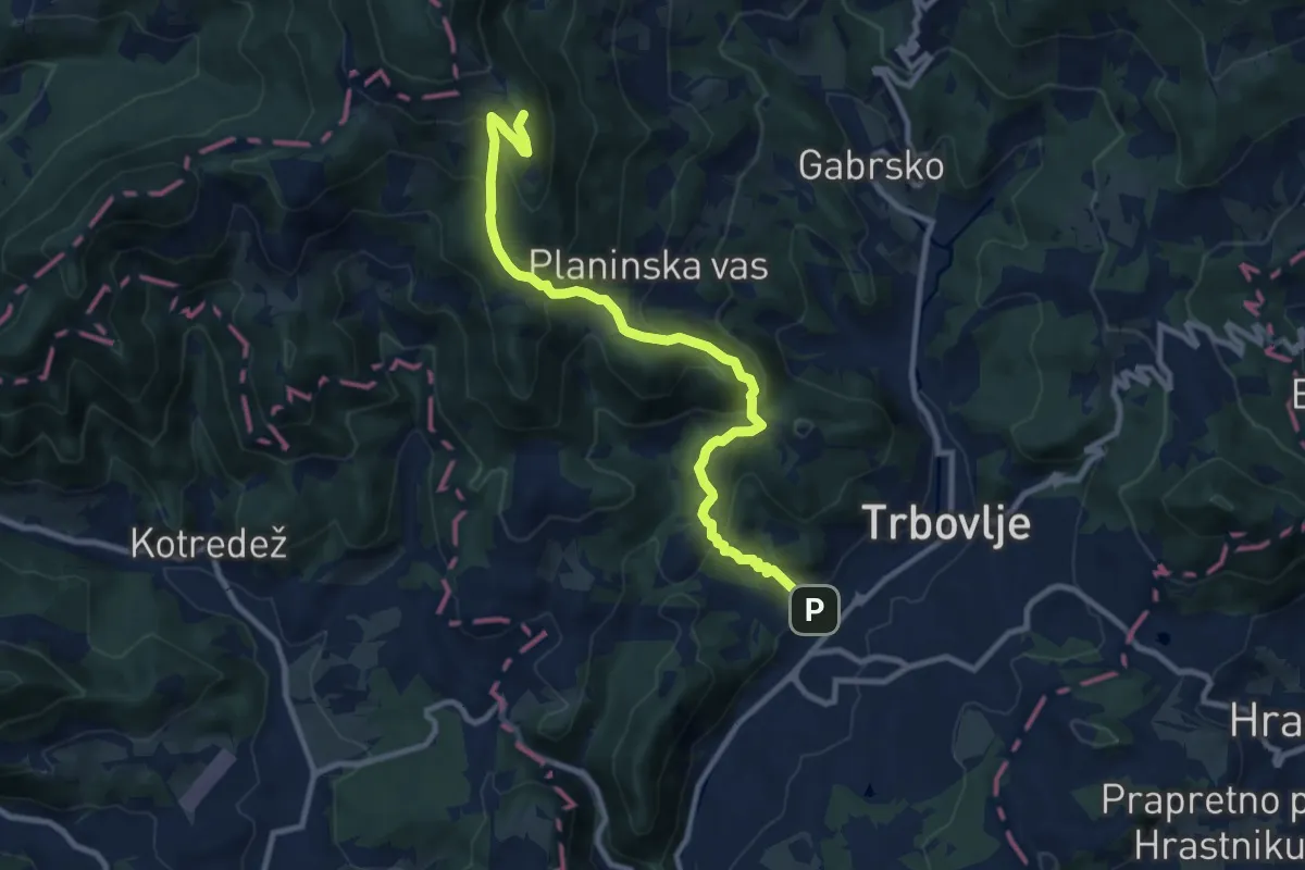
Medium · Summit
Trbovlje - Partizanski vrh
10.4 km · ↑ 689 m · 3 h 57 min · 15 km away