Trails near Logatec
47 hikes starting within 15 km, nearest first.
Nearest first
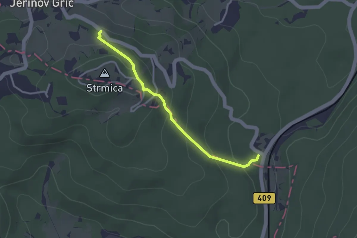
Easy · Trail
Pot ob rimskem zidu
2.5 km · ↑ 150 m · 55 min · 3 km away
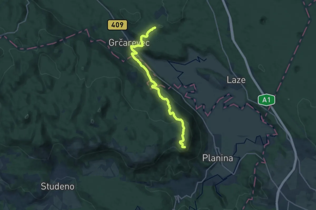
Medium · Summit
Jakobova pot (var.)
7.2 km · ↑ 401 m · 2 h 32 min · 4 km away
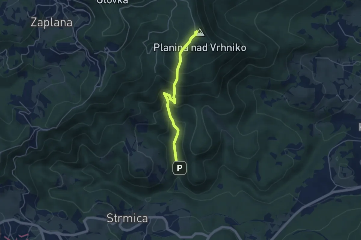
Demanding · Summit
Star maln - Planina
3.7 km · ↑ 374 m · 1 h 41 min · 5 km away
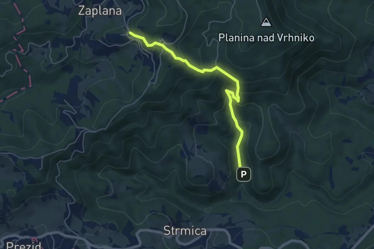
Demanding · Trail
Zaplana - Star maln
4.8 km · ↑ 416 m · 2 h 3 min · 5 km away
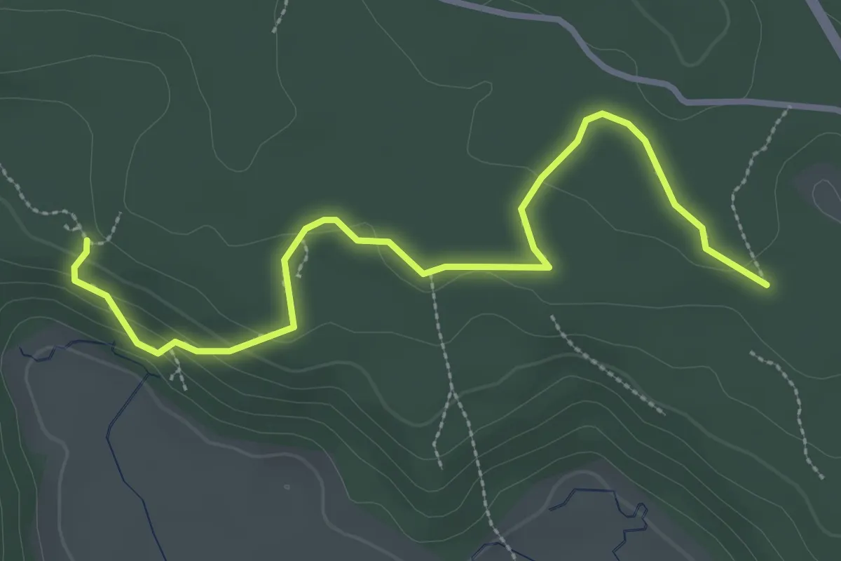
Medium · Trail
Cave walk
3.4 km · ↑ 93 m · 1 h 1 min · 5 km away
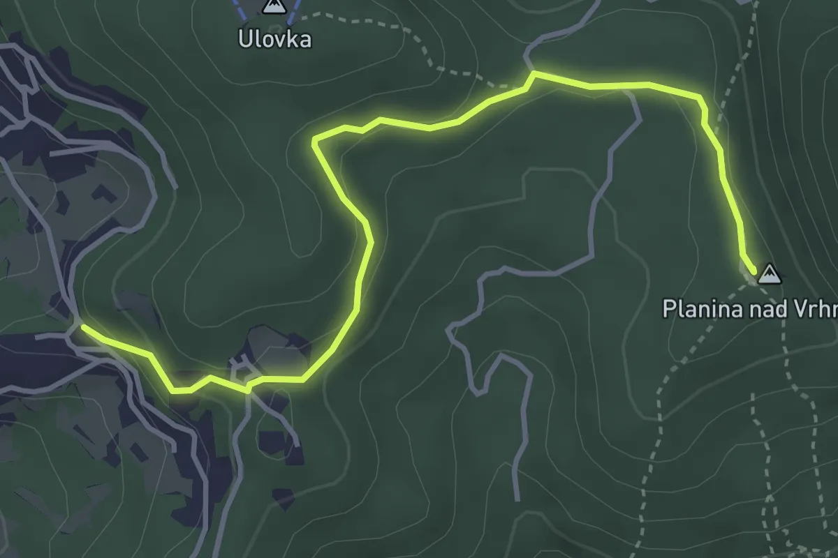
Easy · Summit
Zaplana - Planina
4.2 km · ↑ 123 m · 1 h 16 min · 6 km away
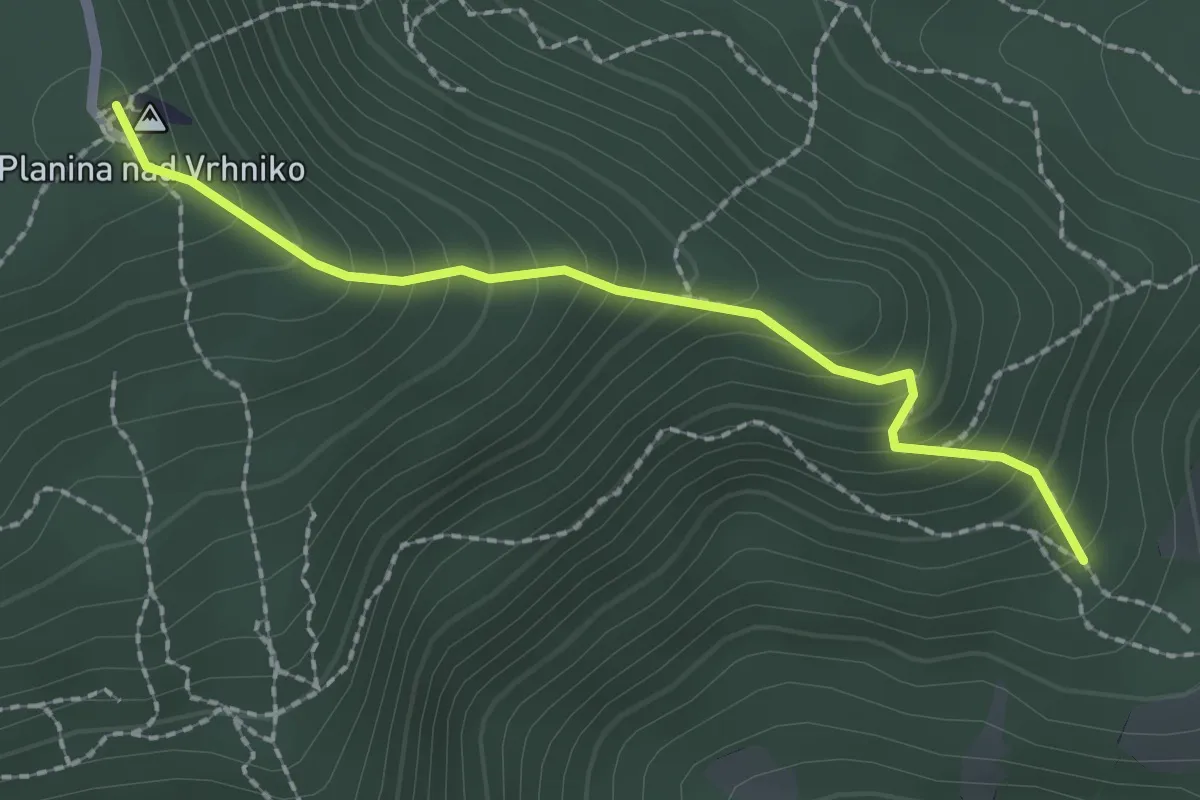
Medium · Summit
Planina čez Špico
2.1 km · ↑ 242 m · 1 h 2 min · 6 km away
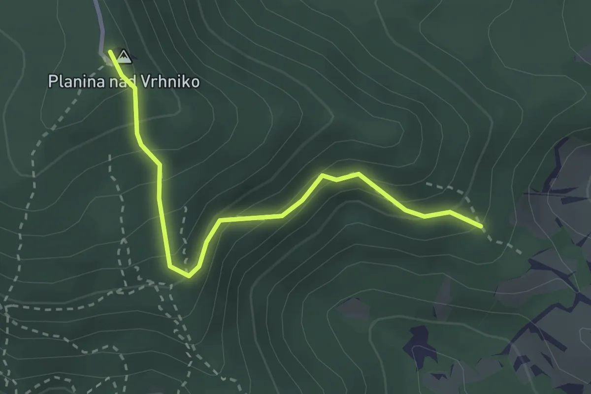
Easy · Summit
Planina mimo bukve
2.8 km · ↑ 284 m · 1 h 17 min · 6 km away
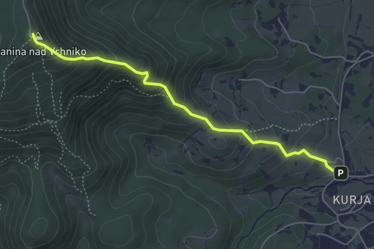
Medium · Summit
Vrhnika - Planina
4.6 km · ↑ 408 m · 1 h 58 min · 7 km away
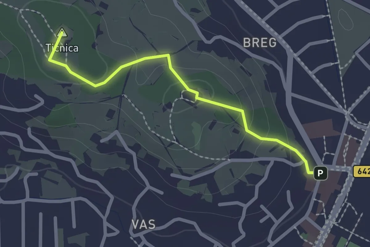
Medium · Summit
Vrhnika - Tankovska cesta - Storžev hrib
2.1 km · ↑ 61 m · 37 min · 8 km away
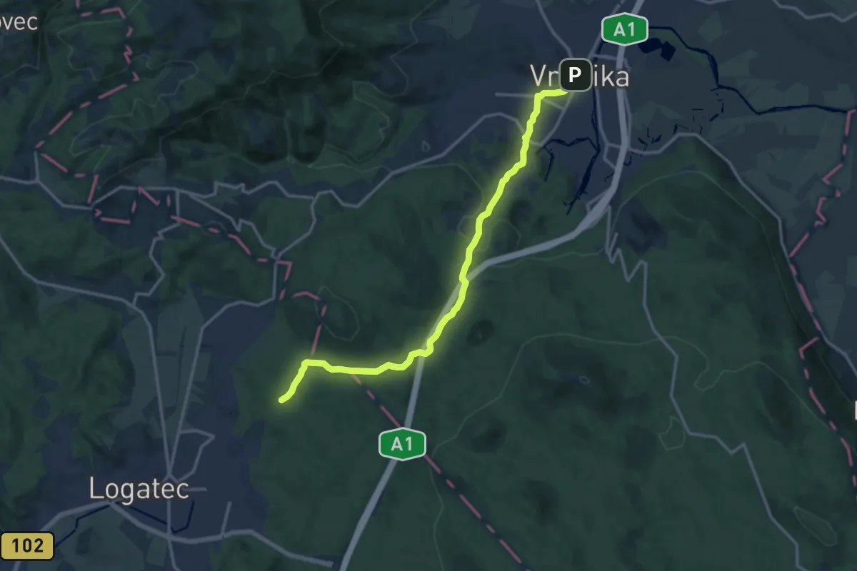
Easy · Pilgrim path
Jakobova pot – Primorska veja (var. Vrhnika)
6.9 km · ↑ 234 m · 2 h 8 min · 8 km away
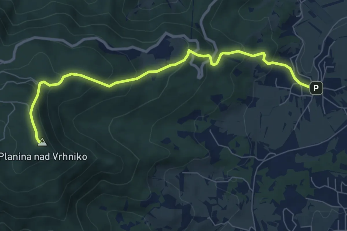
Medium · Summit
Stara Vrhnika - Kuren - Planina
6.9 km · ↑ 408 m · 2 h 30 min · 8 km away
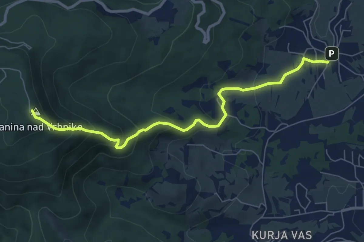
Medium · Summit
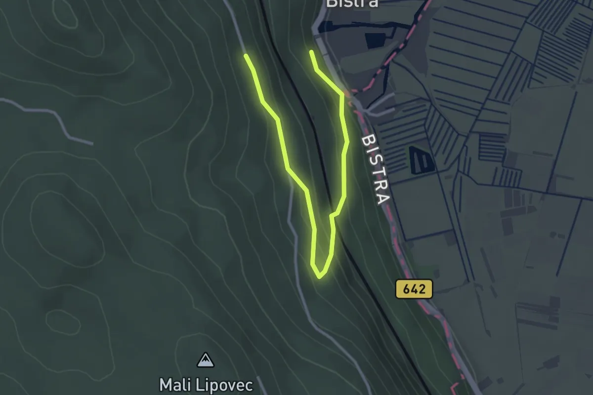
Stara Vrhnika - Planina
6.4 km · ↑ 423 m · 2 h 26 min · 8 km away
Medium · Trail
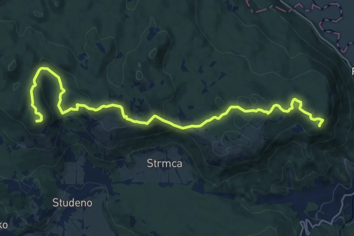
Učna pot po gozdovih Bistre
1.7 km · ↑ 35 m · 33 min · 9 km away
Demanding · Summit
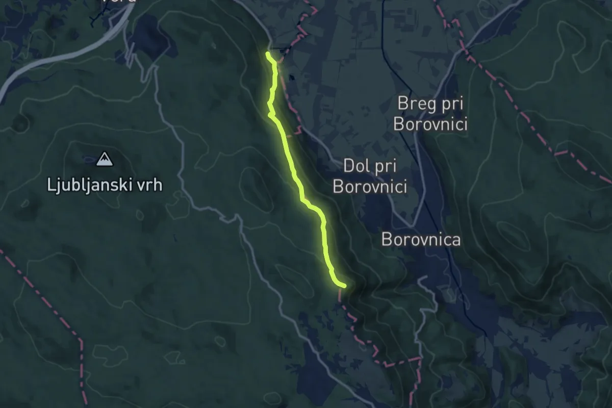
Studeno - Grmada
18.2 km · ↑ 789 m · 6 h · 9 km away
Medium · Summit
Bistra - Pokojišče
8.5 km · ↑ 440 m · 2 h 58 min · 9 km away
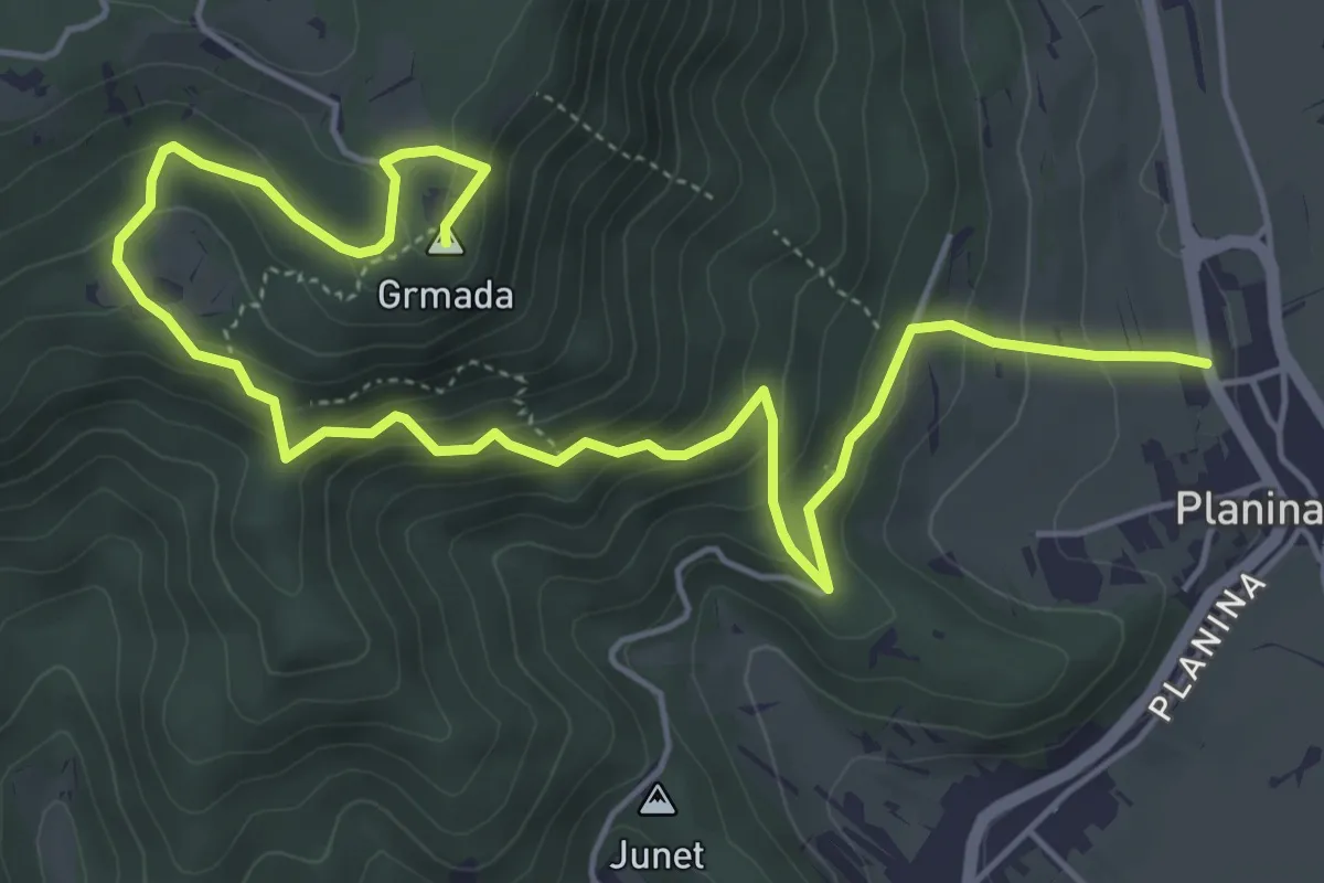
Medium · Summit
Planina - Grmada
7.3 km · ↑ 528 m · 2 h 52 min · 9 km away
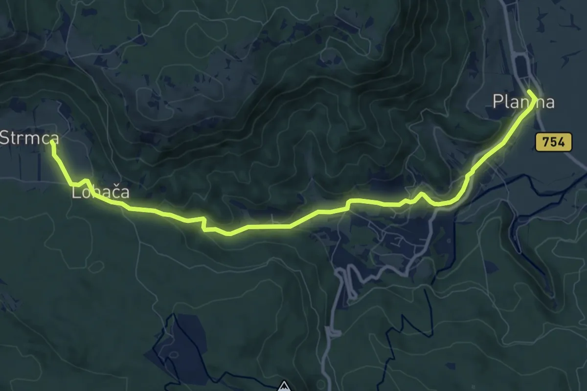
Easy · Pilgrim path
Jakobova pot (var.)
5.4 km · ↑ 223 m · 1 h 45 min · 10 km away
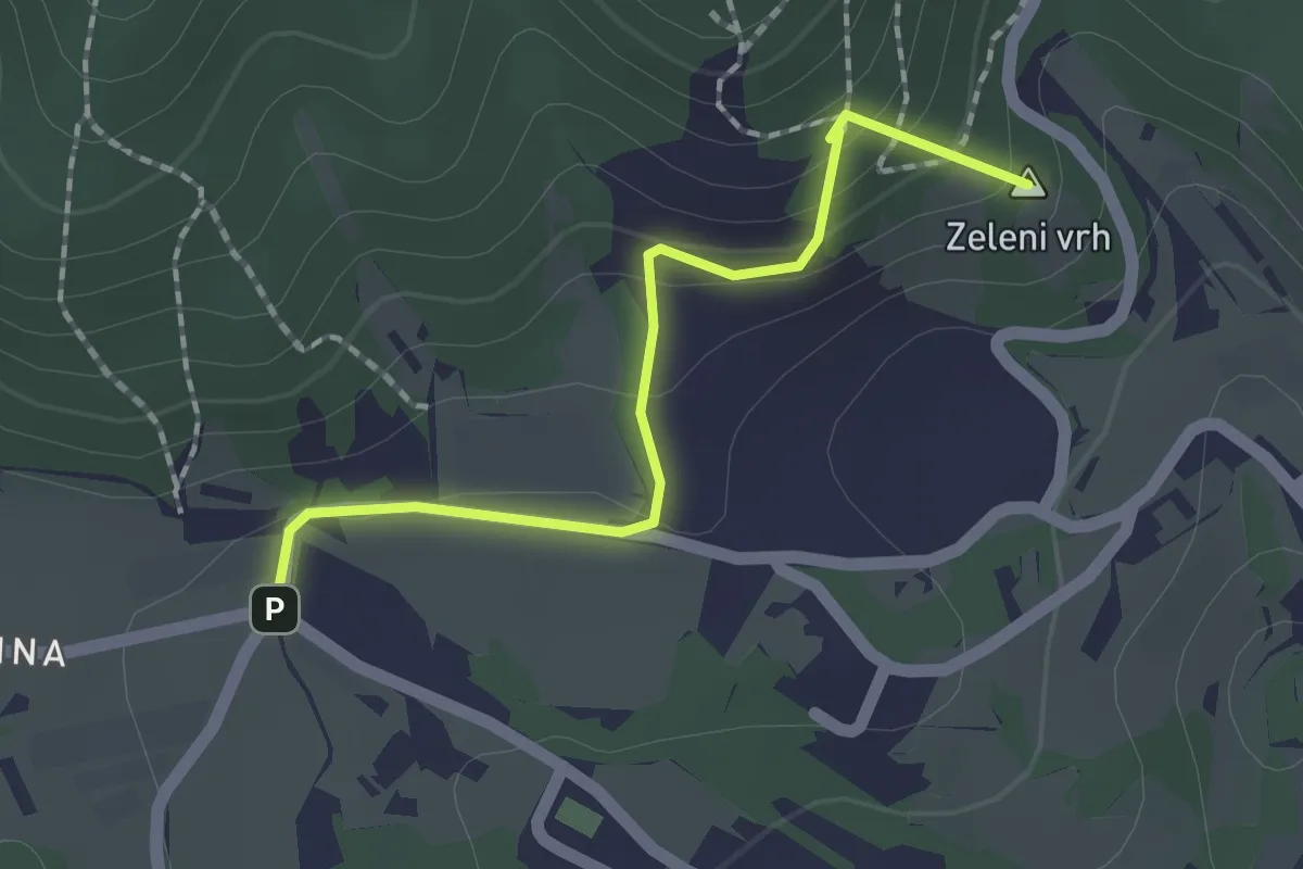
Medium · Summit
Lohača - Sv. Marija
1.8 km · ↑ 113 m · 40 min · 10 km away
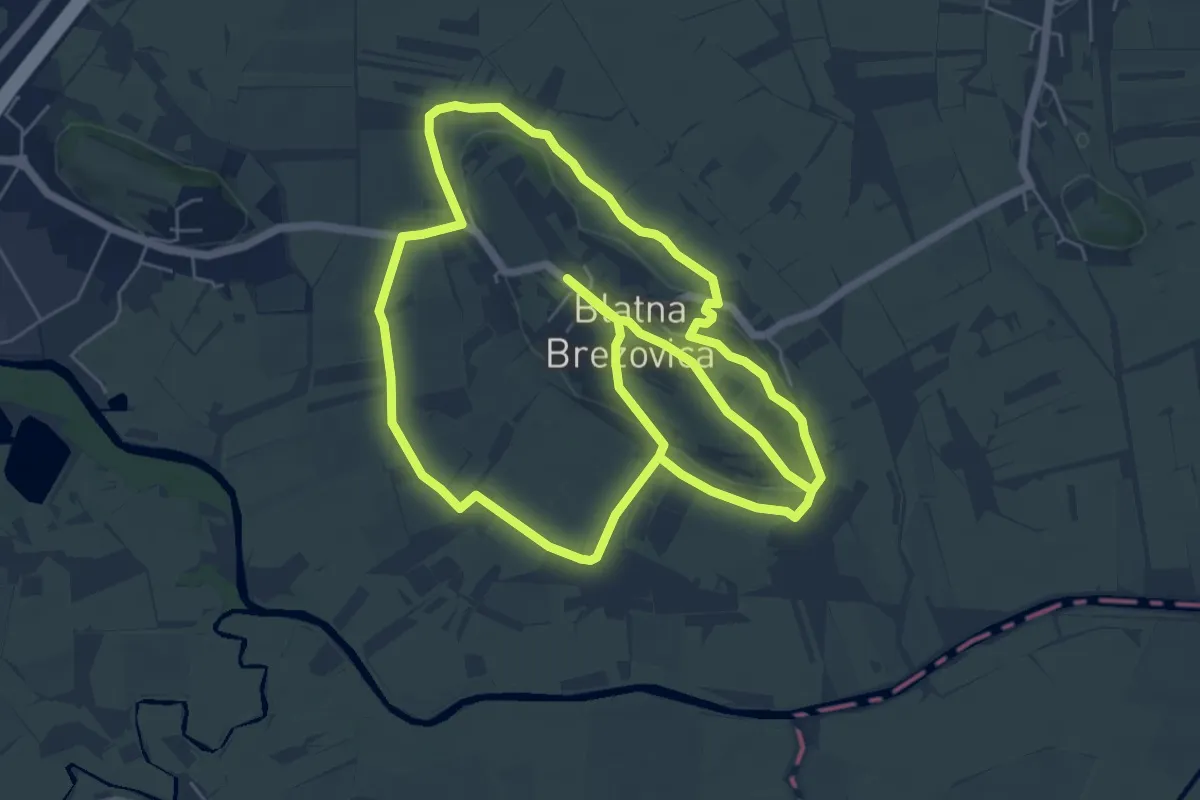
Easy · Summit
Bobrova pot
6.7 km · ↑ 68 m · 1 h 50 min · 11 km away
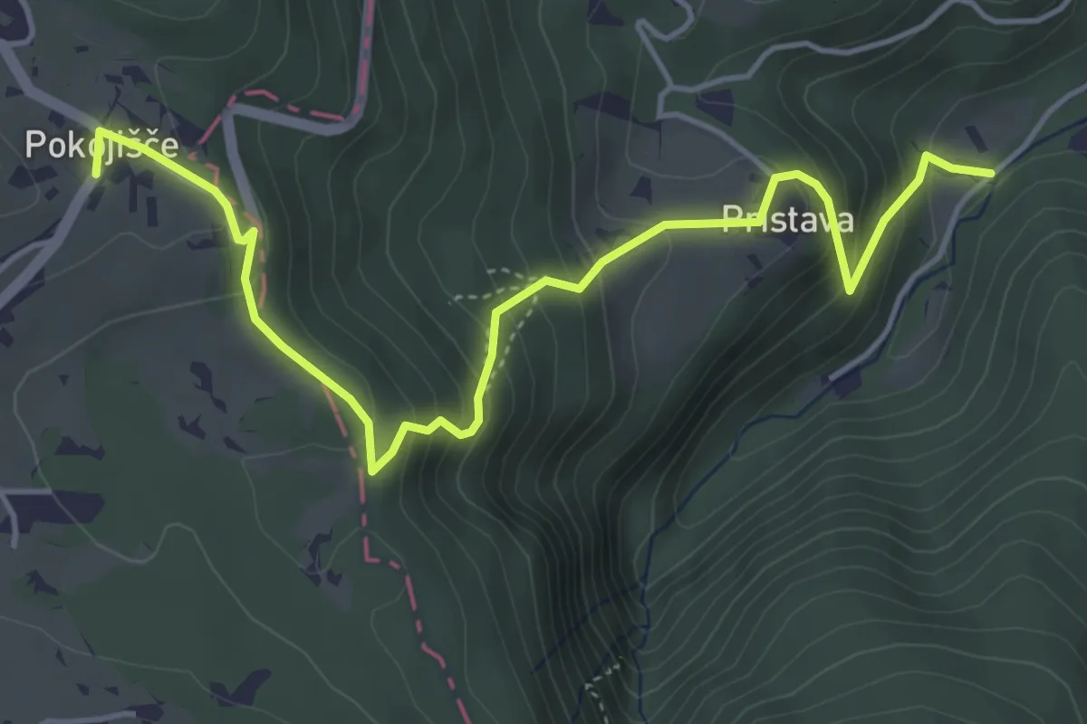
Medium · Trail
Pokojišče - Pekel
5.3 km · ↑ 414 m · 2 h 9 min · 11 km away
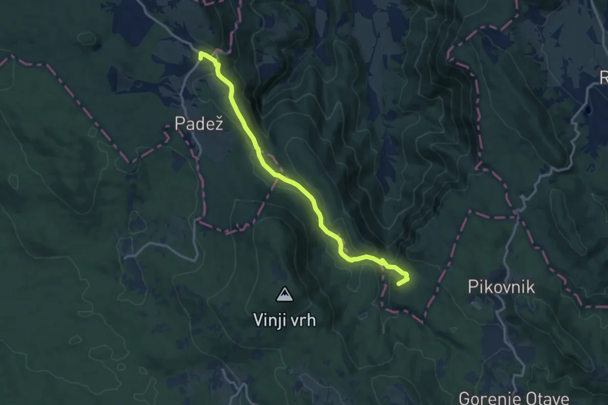
Medium · Summit
Pokojišče - Krimska jama
11.1 km · ↑ 305 m · 3 h 17 min · 11 km away
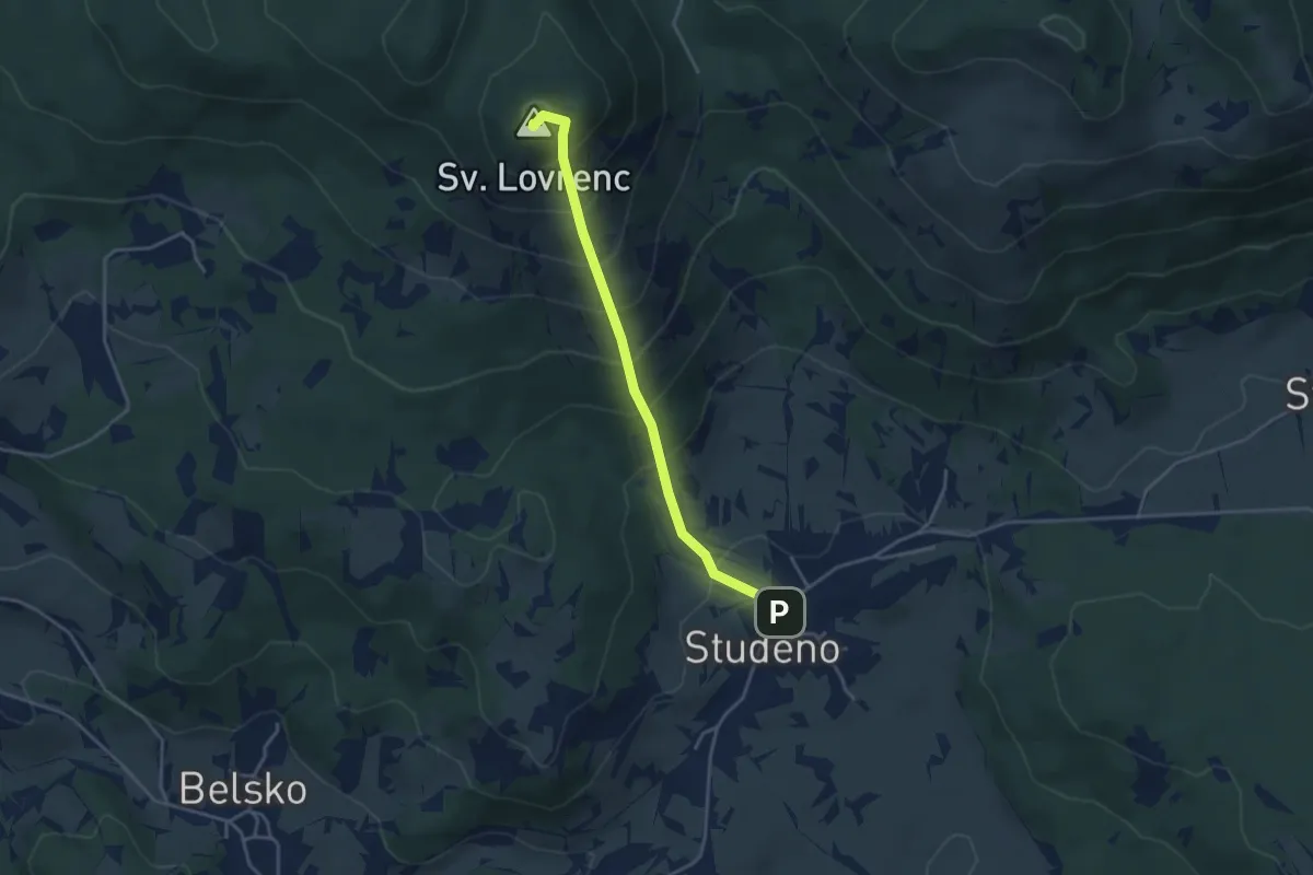
Medium · Summit
Studeno - Sv. Lovrenc
3.7 km · ↑ 394 m · 1 h 44 min · 11 km away
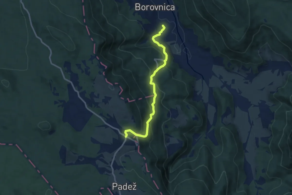
Medium · Trail
Borovnica - Pokojišče
7.2 km · ↑ 448 m · 2 h 40 min · 11 km away
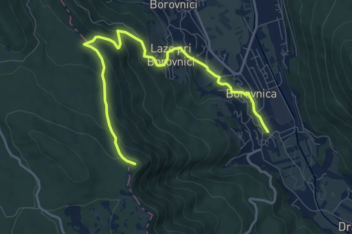
Medium · Summit
Borovnica - Laze - Pokojišče
9.1 km · ↑ 524 m · 3 h 17 min · 11 km away
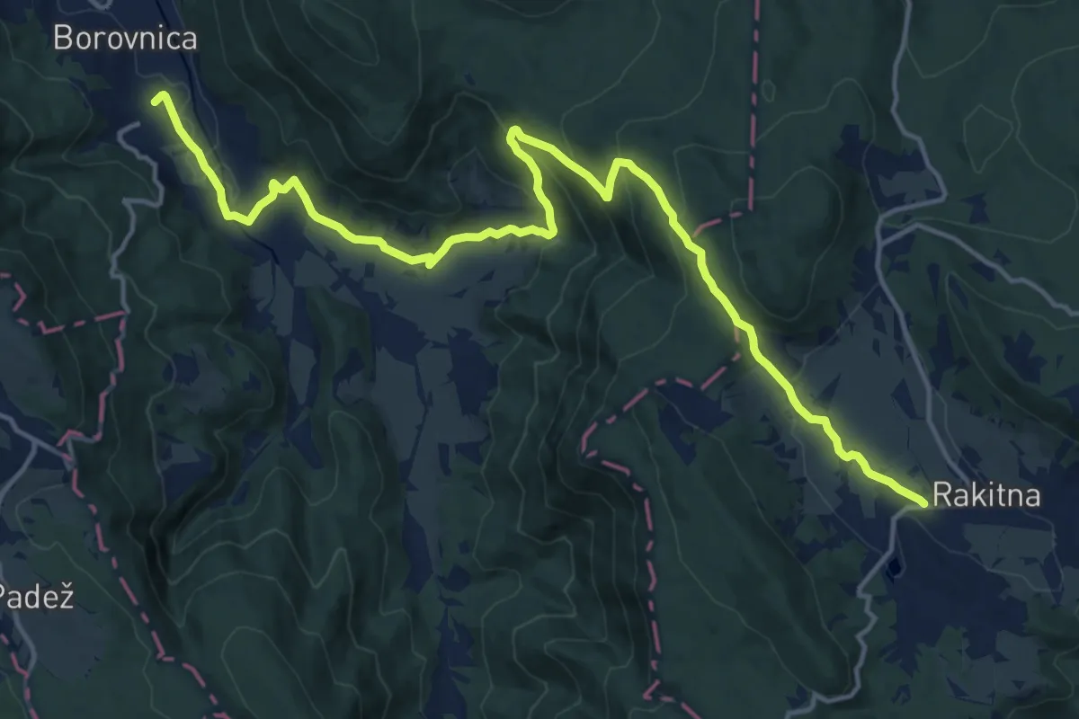
Demanding · Trail
Borovnica - Rakitna
18.4 km · ↑ 667 m · 5 h 48 min · 11 km away
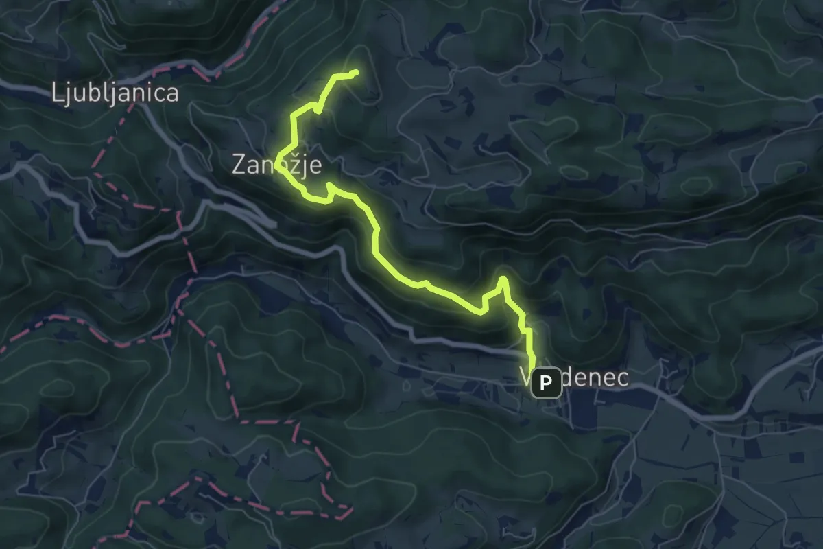
Medium · Summit
Vrzdenec - Zanožje - Kožljek
6.8 km · ↑ 462 m · 2 h 36 min · 12 km away
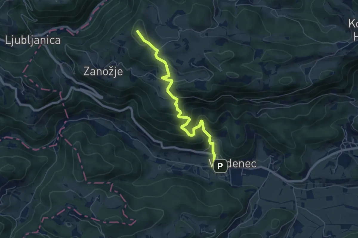
Medium · Summit
Vrzdenec - Samotorica - Kožljek
5.8 km · ↑ 428 m · 2 h 18 min · 12 km away
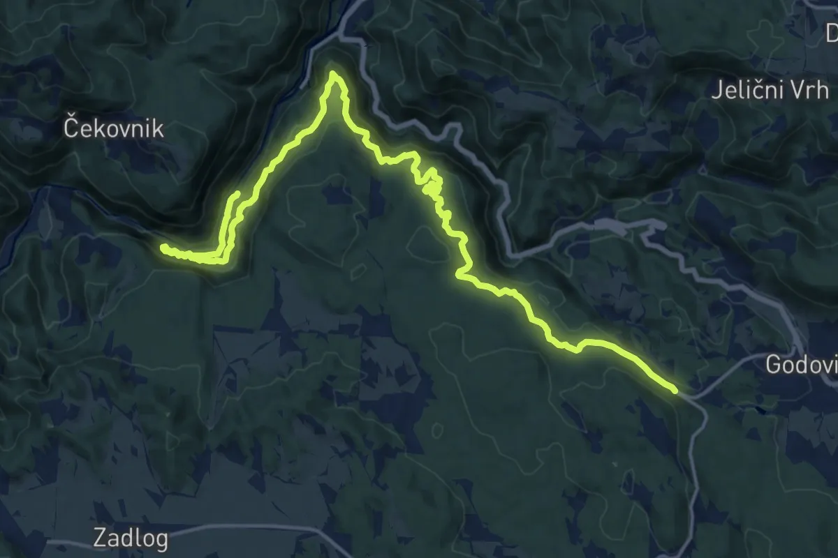
Expert · Trail
Feldban
21.9 km · ↑ 1215 m · 7 h 48 min · 12 km away
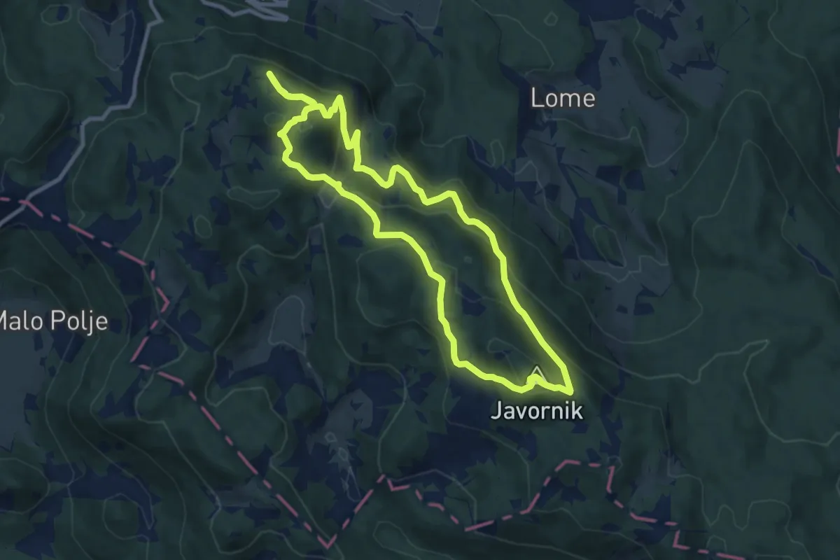
Medium · Summit
Razgledni vrhovi nad Črnim Vrhom
8.8 km · ↑ 491 m · 3 h 15 min · 12 km away
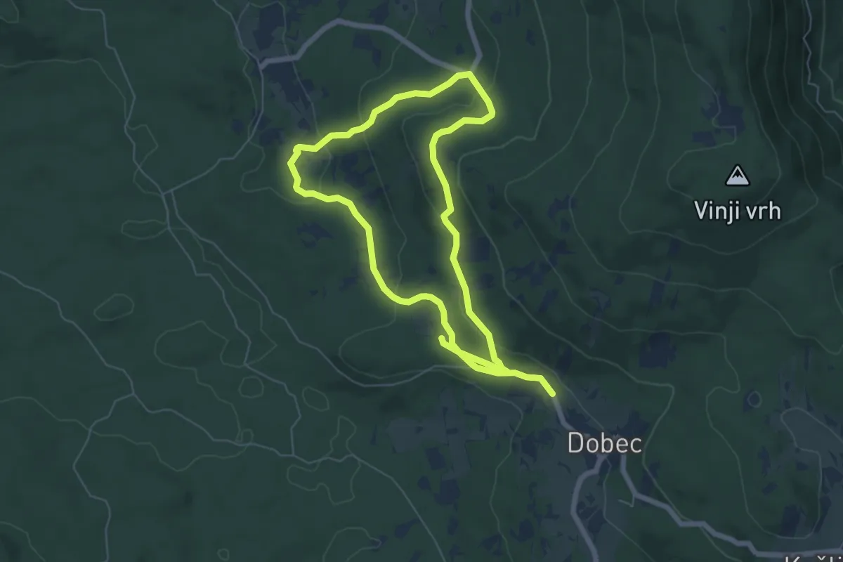
Easy · Trail
Naravoslovna učna pot Menišija
5.6 km · ↑ 180 m · 1 h 46 min · 12 km away
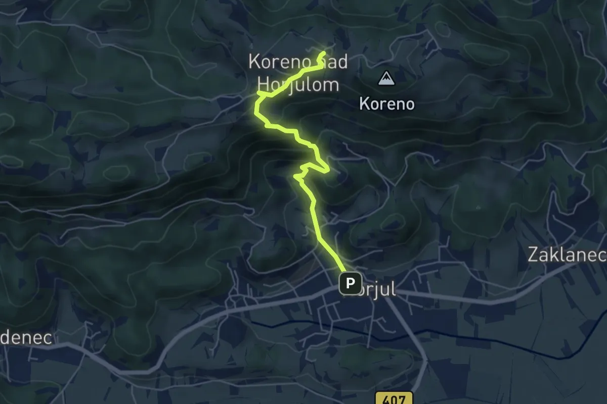
Medium · Trail
Horjul - Koreno (strma)
4.9 km · ↑ 355 m · 1 h 55 min · 13 km away
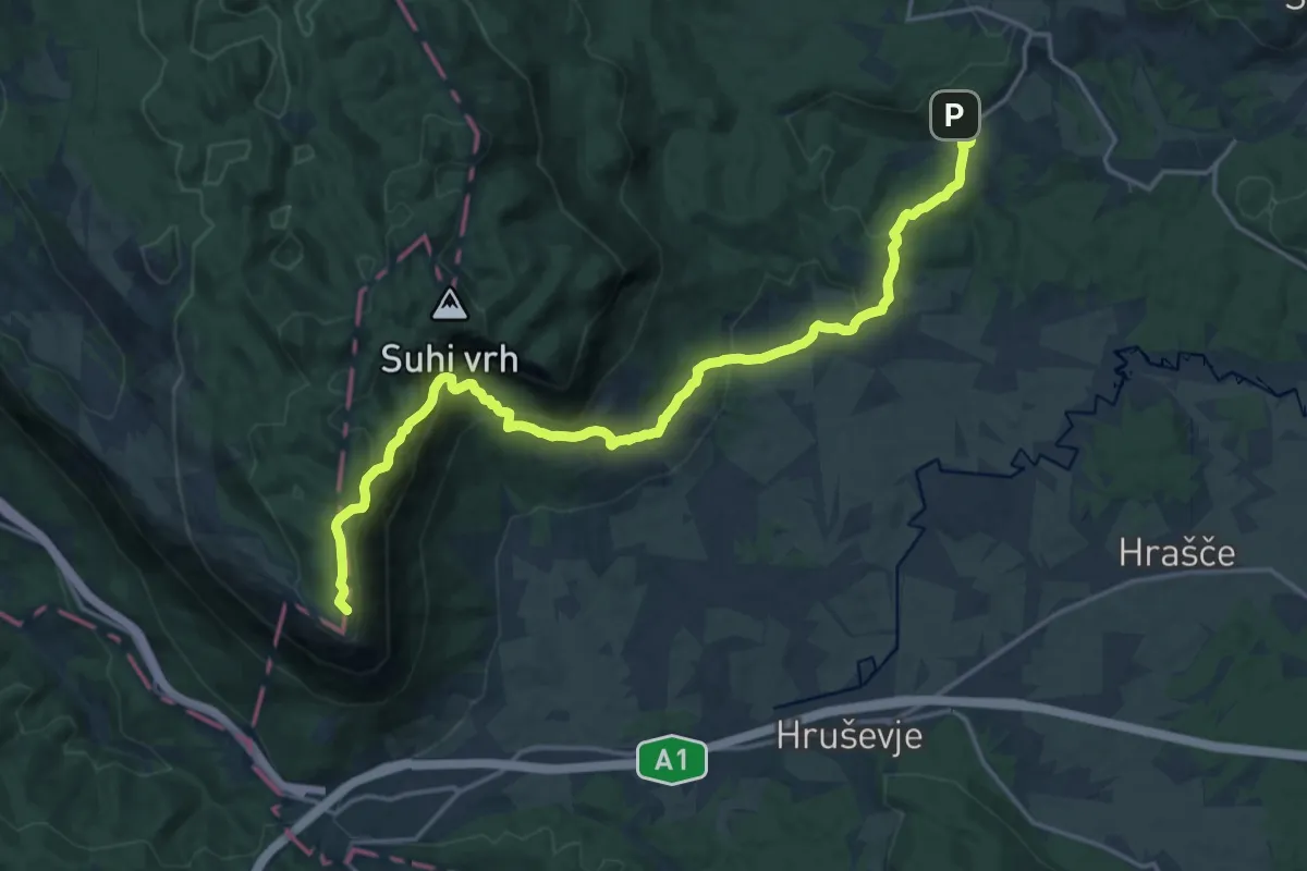
Demanding · Summit
Via Alpina Stage 4: Razdrto - Predjama
20.8 km · ↑ 994 m · 7 h 3 min · 14 km away
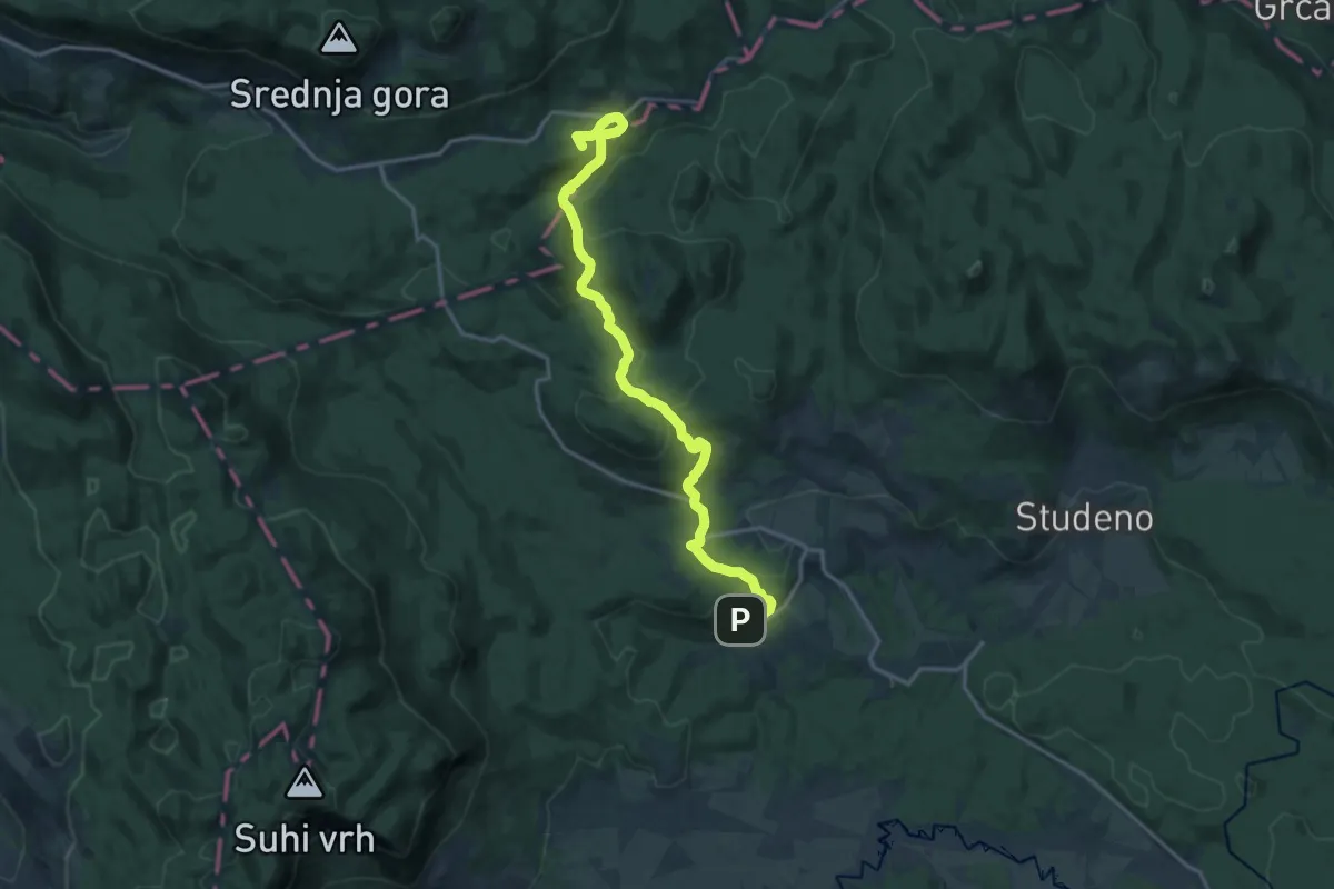
Medium · Summit
Via Alpina Stage 5: Predjama - Črni vrh
17.1 km · ↑ 510 m · 5 h 8 min · 14 km away
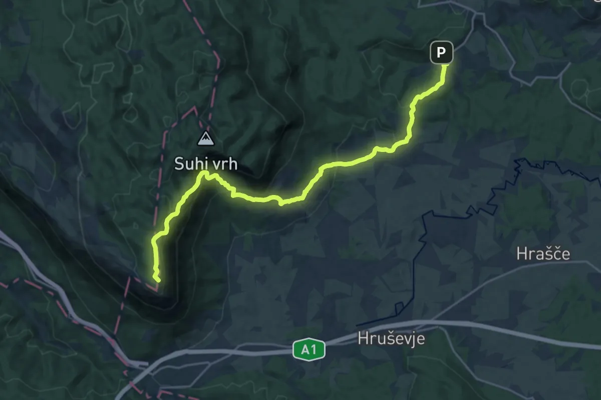
Demanding · Summit
146 ~ Pot kurirjev in vezistov NOV Slovenije
20.7 km · ↑ 988 m · 7 h 1 min · 14 km away
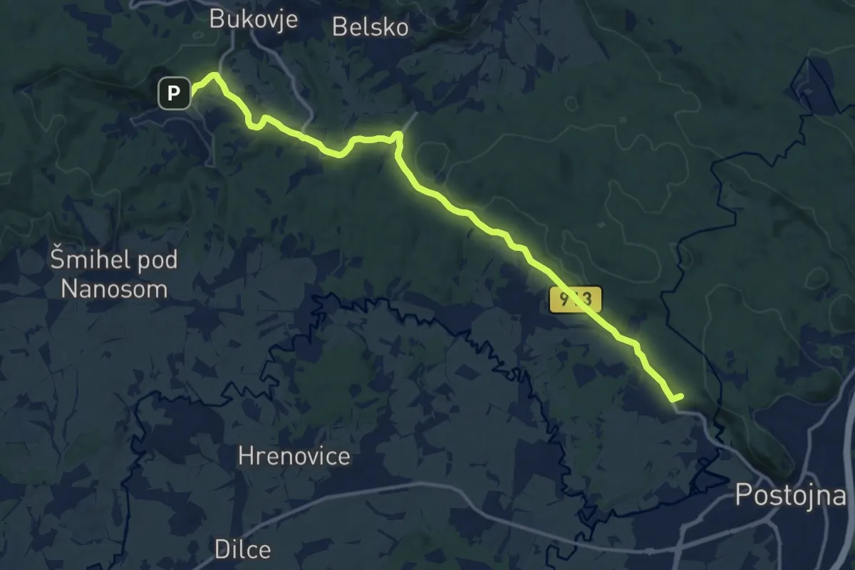
Medium · Summit
147 ~ Pot kurirjev in vezistov NOV Slovenije
15.2 km · ↑ 336 m · 4 h 19 min · 14 km away
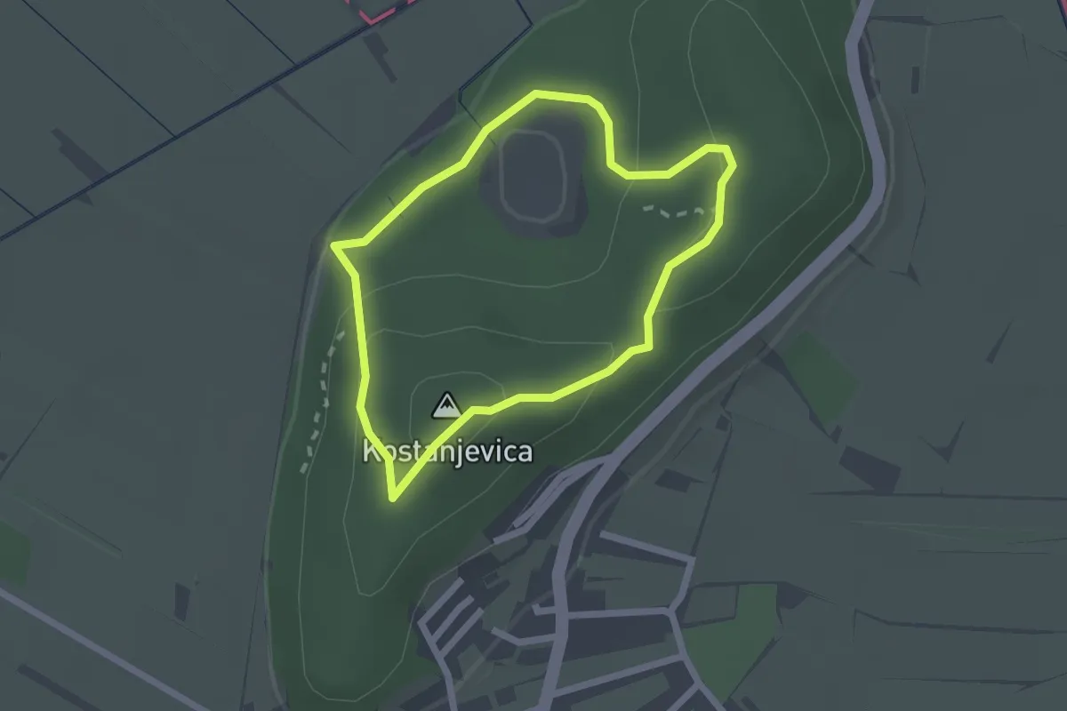
Easy · Summit
Pot močvirskih škratov na Mali plac
1.8 km · ↑ 74 m · 37 min · 14 km away
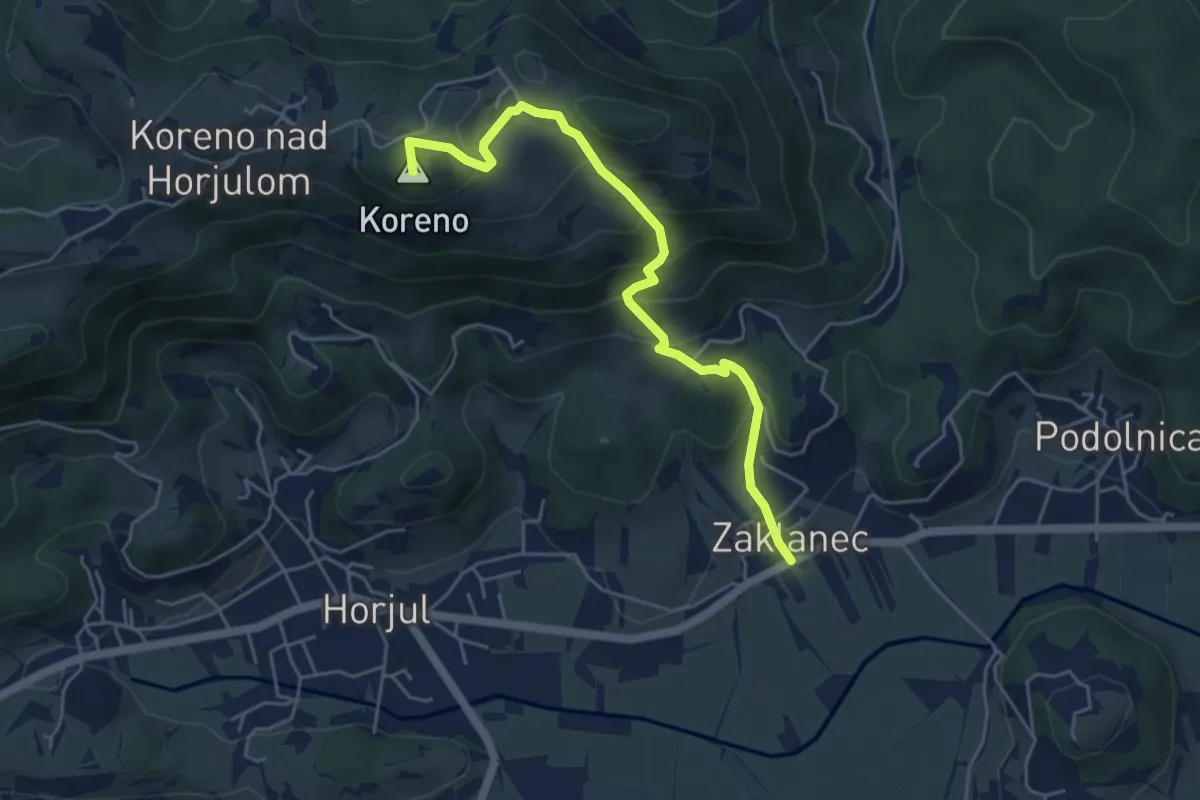
Medium · Summit
Zaklanec - Koreno
5.1 km · ↑ 377 m · 2 h 2 min · 14 km away
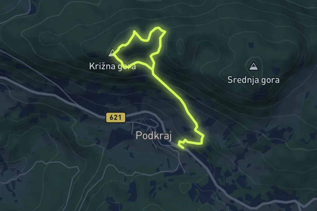
Easy · Summit
Podkraj - Sv. Duh - Križna gora - Podkraj
3.0 km · ↑ 134 m · 1 h 8 min · 14 km away
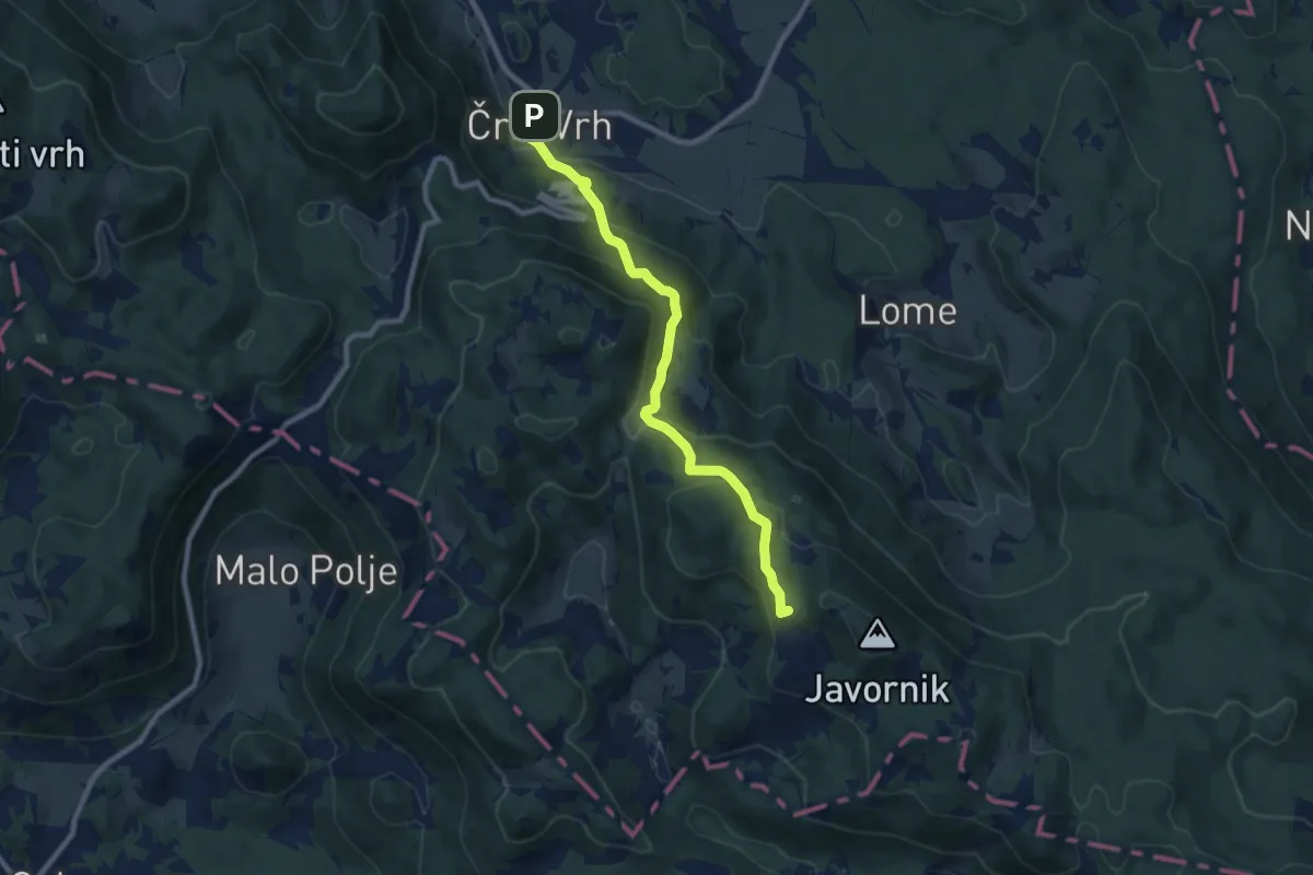
Medium · Summit
Črni Vrh - Pirnatova koča
8.7 km · ↑ 499 m · 3 h 8 min · 14 km away
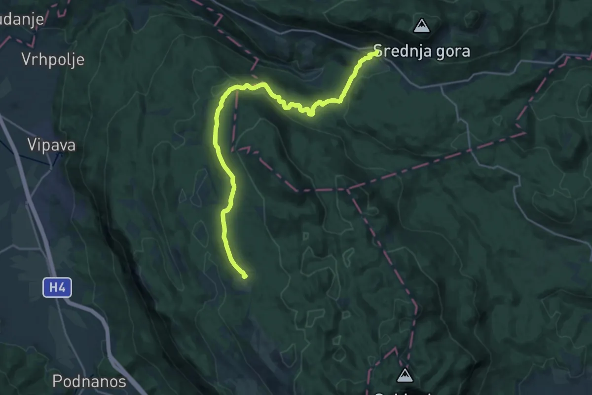
Demanding · Cabin
144 ~ Pot kurirjev in vezistov NOV Slovenije
19.8 km · ↑ 415 m · 5 h 34 min · 14 km away
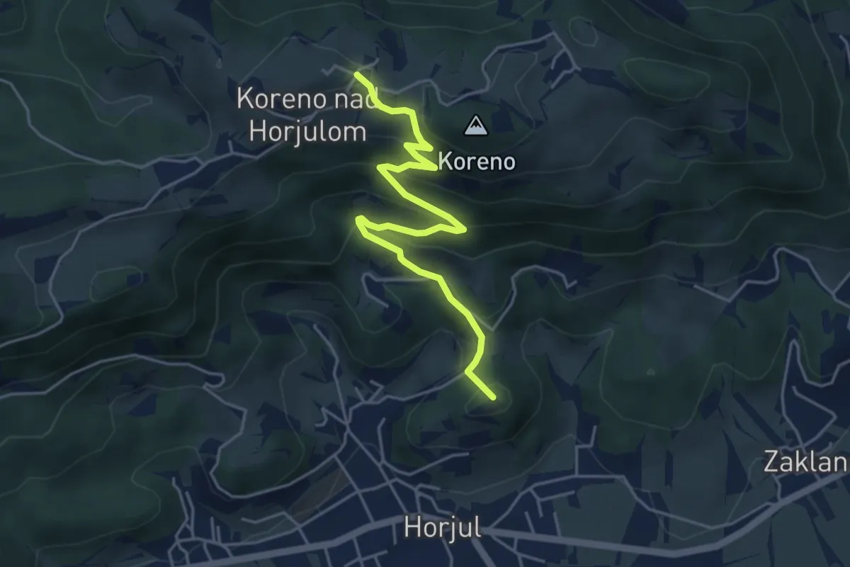
Medium · Summit
Horjul - Koreno (lažja)
4.6 km · ↑ 362 m · 1 h 52 min · 14 km away
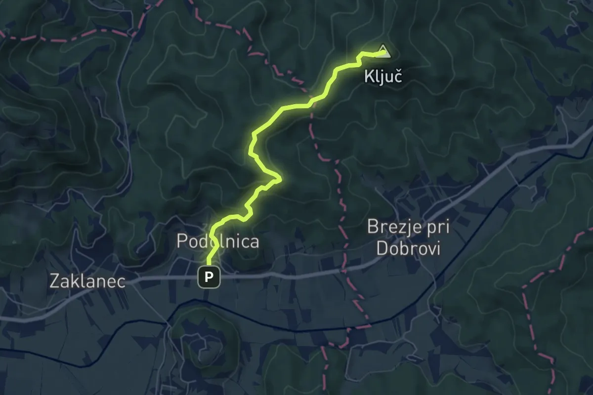
Medium · Summit
Podolnica - Ključ
5.9 km · ↑ 325 m · 2 h 5 min · 14 km away
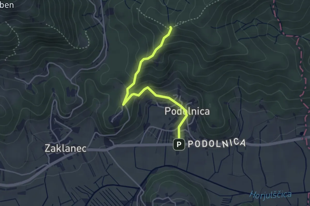
Medium · Summit
Podolnica - Tičnica
3.4 km · ↑ 217 m · 1 h 17 min · 14 km away
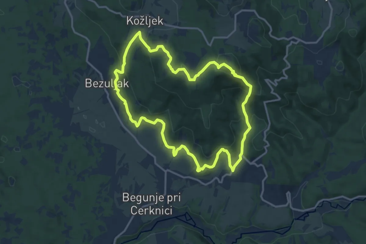
Medium · Summit
Po medvedovih stopinjah
9.5 km · ↑ 435 m · 3 h 19 min · 15 km away
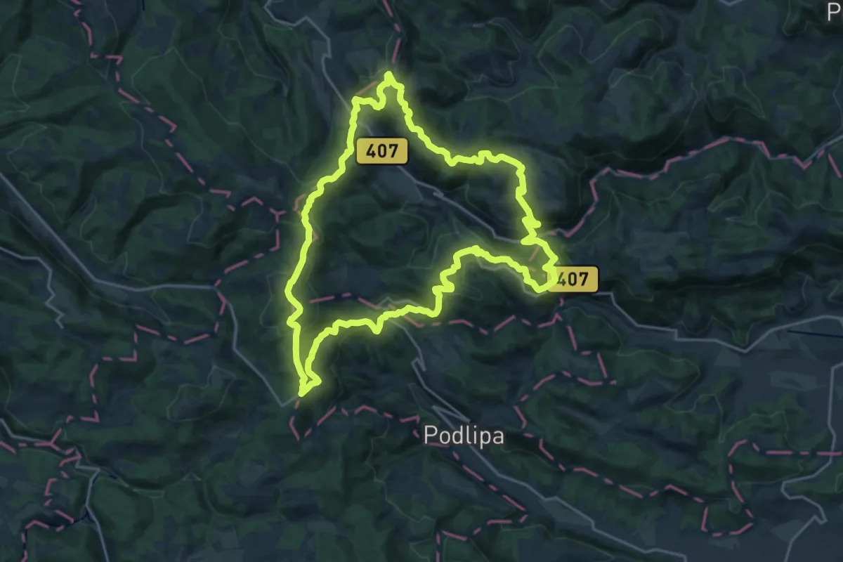
Demanding · Summit
Šentjoška planinska pot
19.9 km · ↑ 875 m · 6 h 52 min · 15 km away
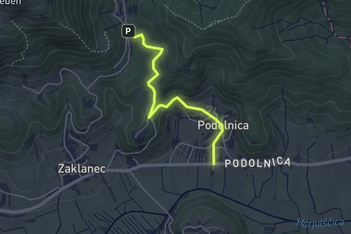
Easy · Trail
Podolnica - Prosca
3.6 km · ↑ 163 m · 1 h 12 min · 15 km away