Trails near Mureck
40 hikes starting within 15 km, nearest first.
Nearest first
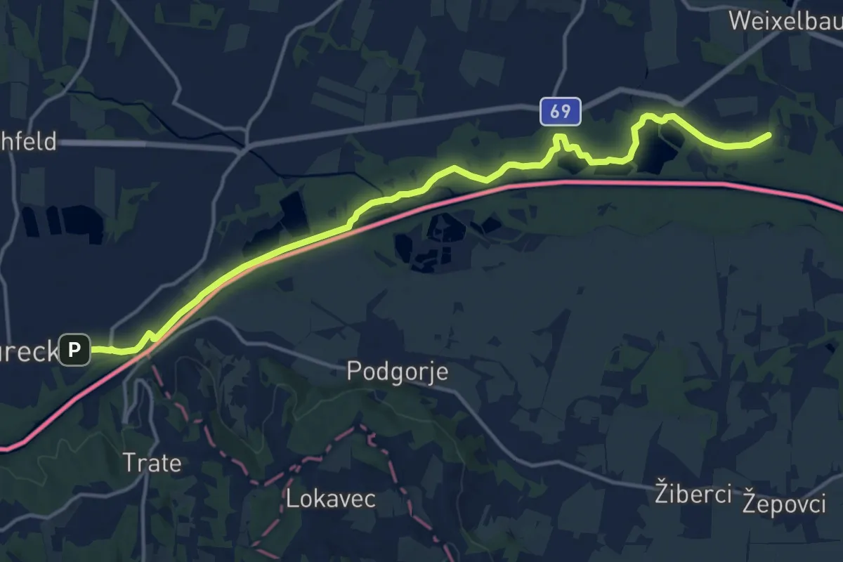
Medium · Trail
Südalpenweg 03 - Etappe 1
16.6 km · ↑ 12 m · 3 h 57 min · 1 km away
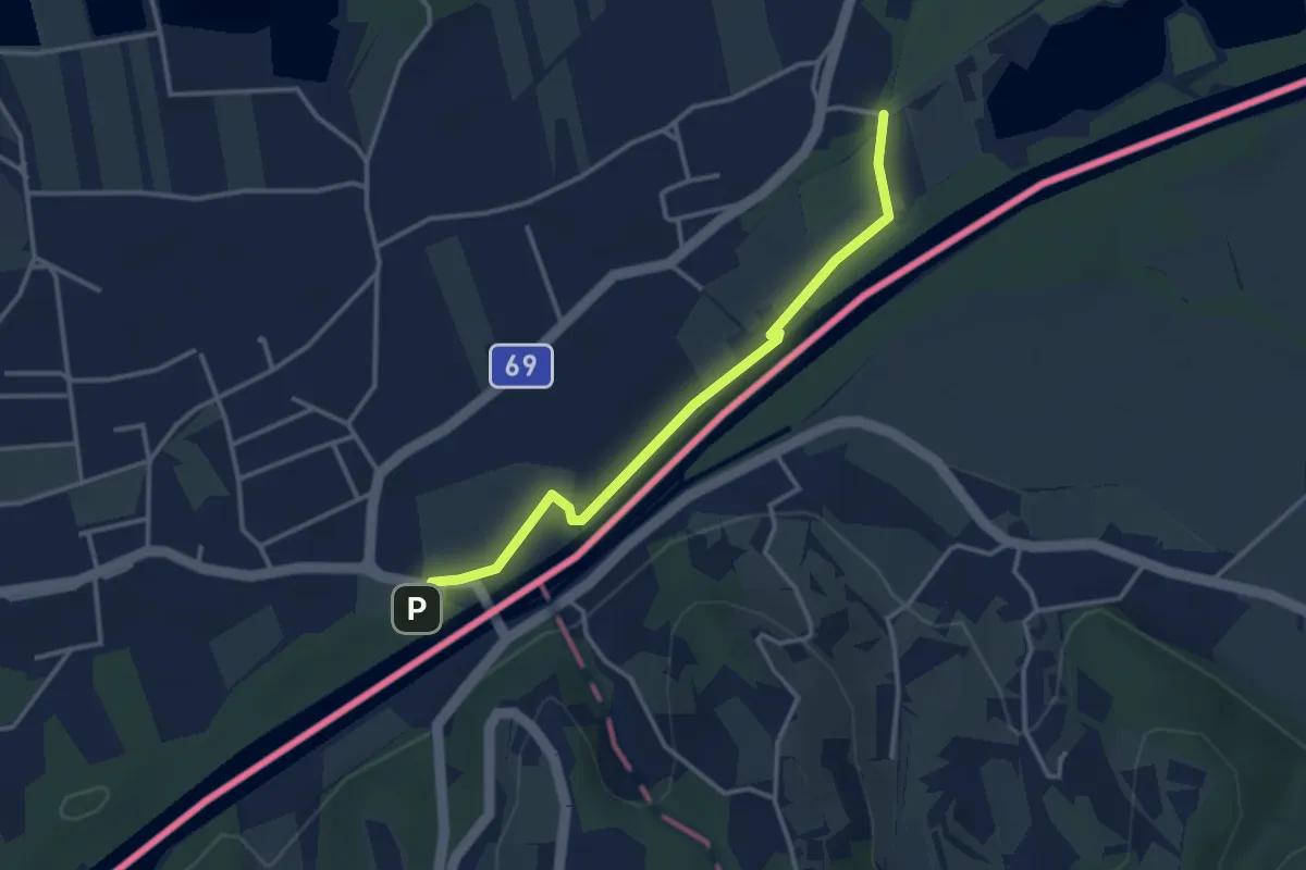
Easy · Trail
Rechte Fußspur
3.3 km · ↑ 0 m · 47 min · 1 km away
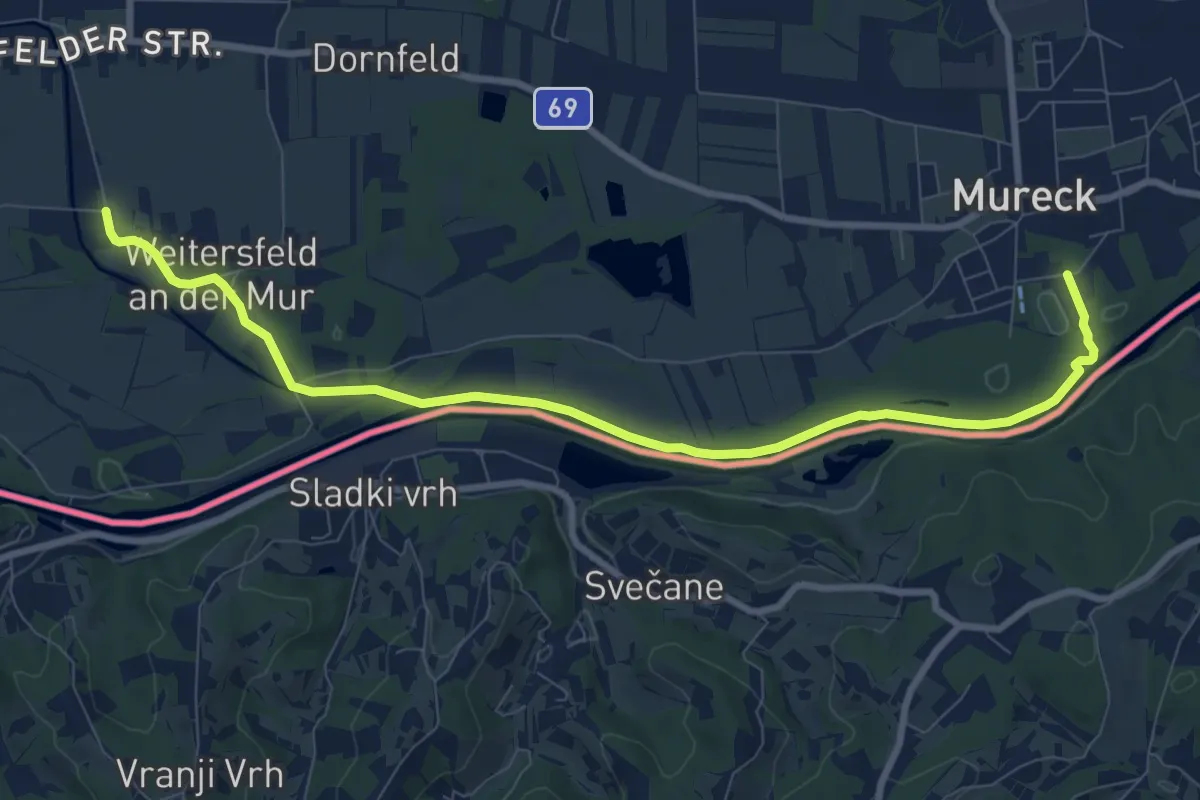
Medium · Trail
Wanderweg 791
9.9 km · ↑ 8 m · 2 h 21 min · 4 km away
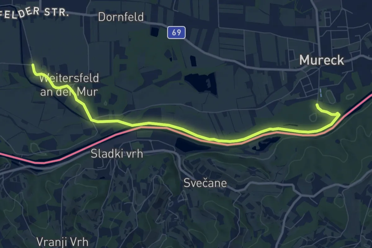
Medium · Trail
Grabenlandtrail
9.6 km · ↑ 8 m · 2 h 18 min · 4 km away
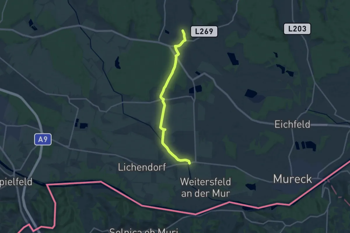
Medium · Trail
Unterer Saßtalweg
12.5 km · ↑ 28 m · 3 h 1 min · 4 km away
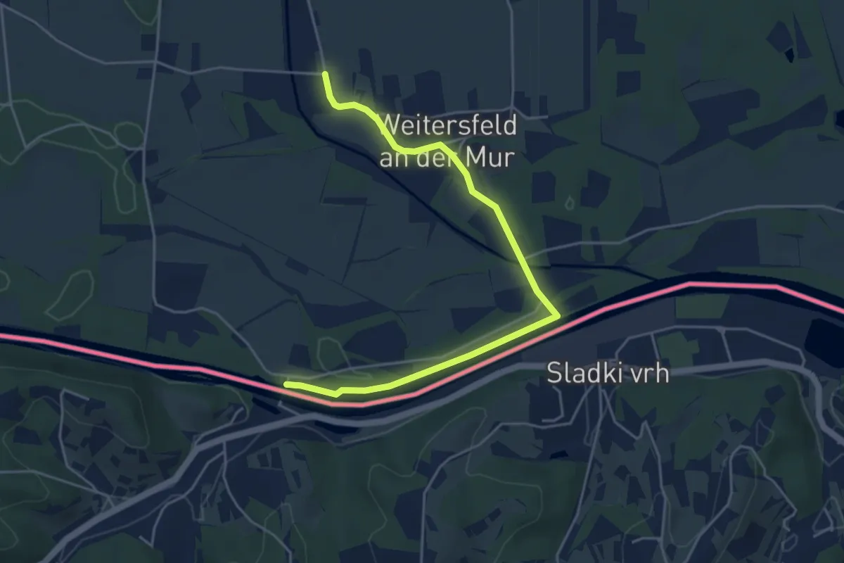
Easy · Trail
Fähren Weg
5.0 km · ↑ 0 m · 1 h 11 min · 4 km away
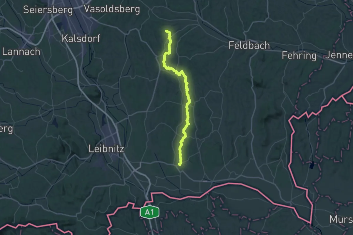
Demanding · Summit
Wanderweg 790
67.1 km · ↑ 1350 m · 18 h 46 min · 6 km away
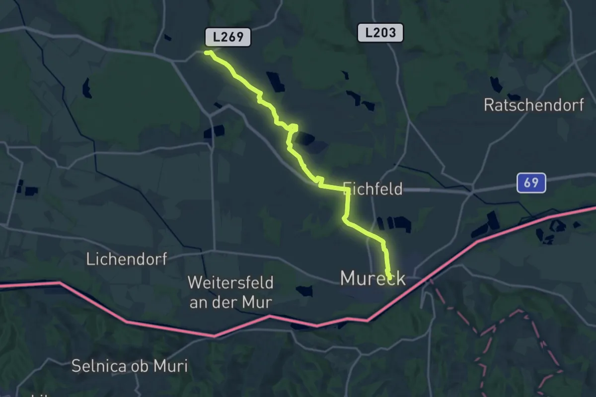
Medium · Trail
Wanderweg 790
16.5 km · ↑ 18 m · 3 h 57 min · 6 km away
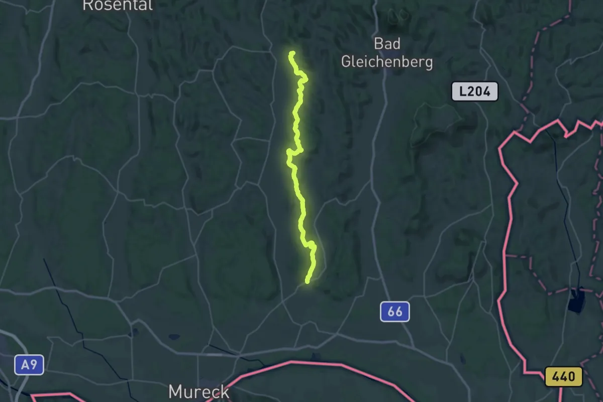
Demanding · Summit
Gnaser Höhenweg
32.1 km · ↑ 789 m · 9 h 18 min · 8 km away
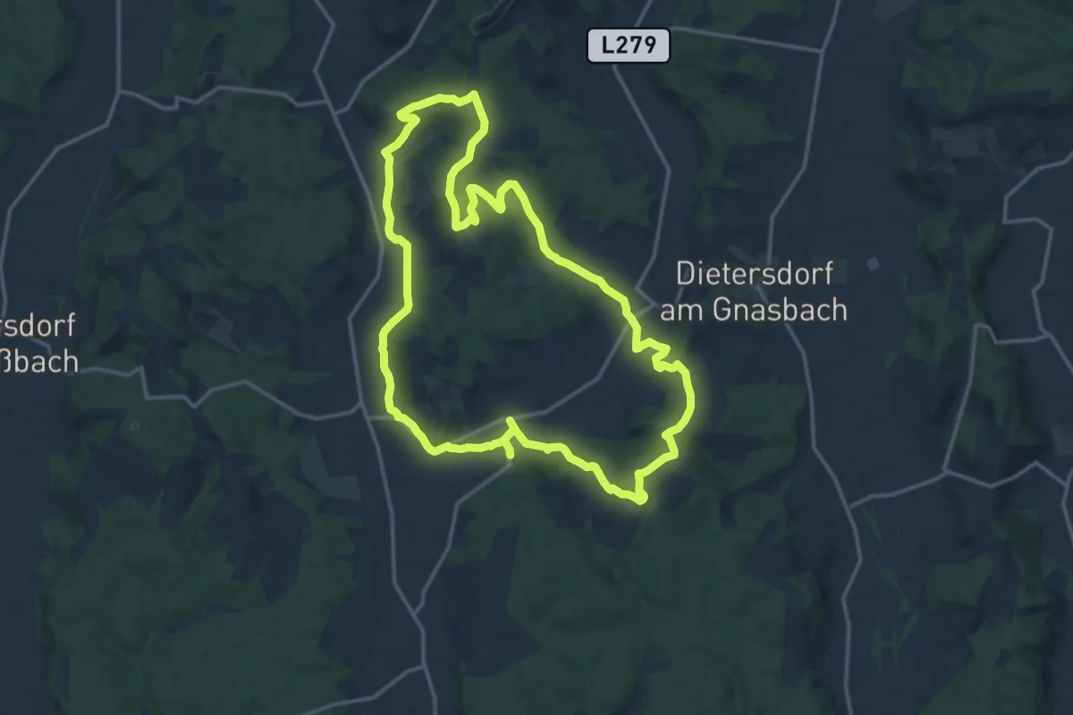
Medium · Trail
4-Berge-Weg
15.5 km · ↑ 293 m · 4 h 31 min · 10 km away
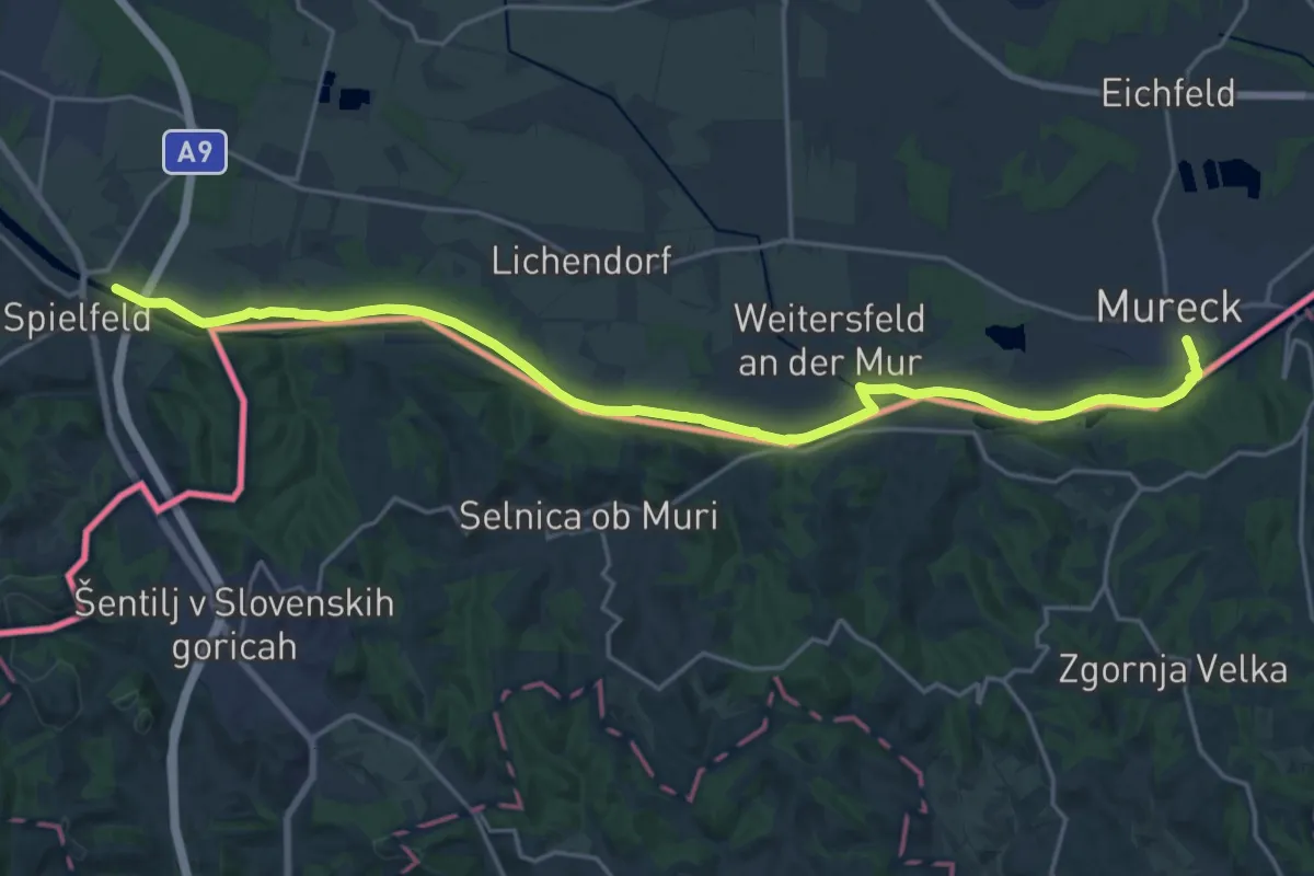
Demanding · Trail
Südalpenweg 03 - Etappe 2
23.5 km · ↑ 16 m · 5 h 35 min · 10 km away
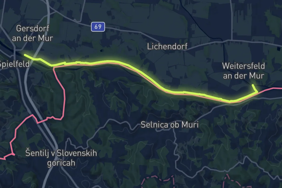
Medium · Trail
Mur-Grenzweg
16.0 km · ↑ 12 m · 3 h 48 min · 10 km away
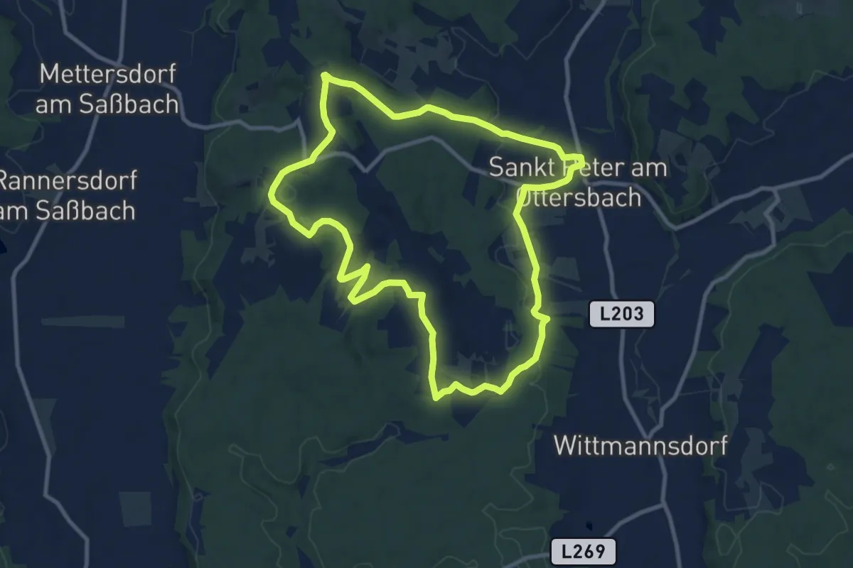
Medium · Trail
Rosenberger Weinweg
9.7 km · ↑ 187 m · 2 h 50 min · 10 km away
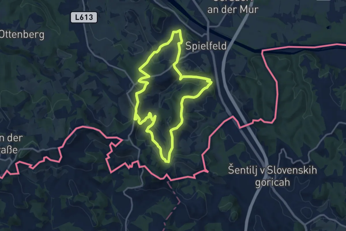
Medium · Trail
Rebenwanderweg Spielfeld
9.8 km · ↑ 359 m · 3 h 13 min · 10 km away
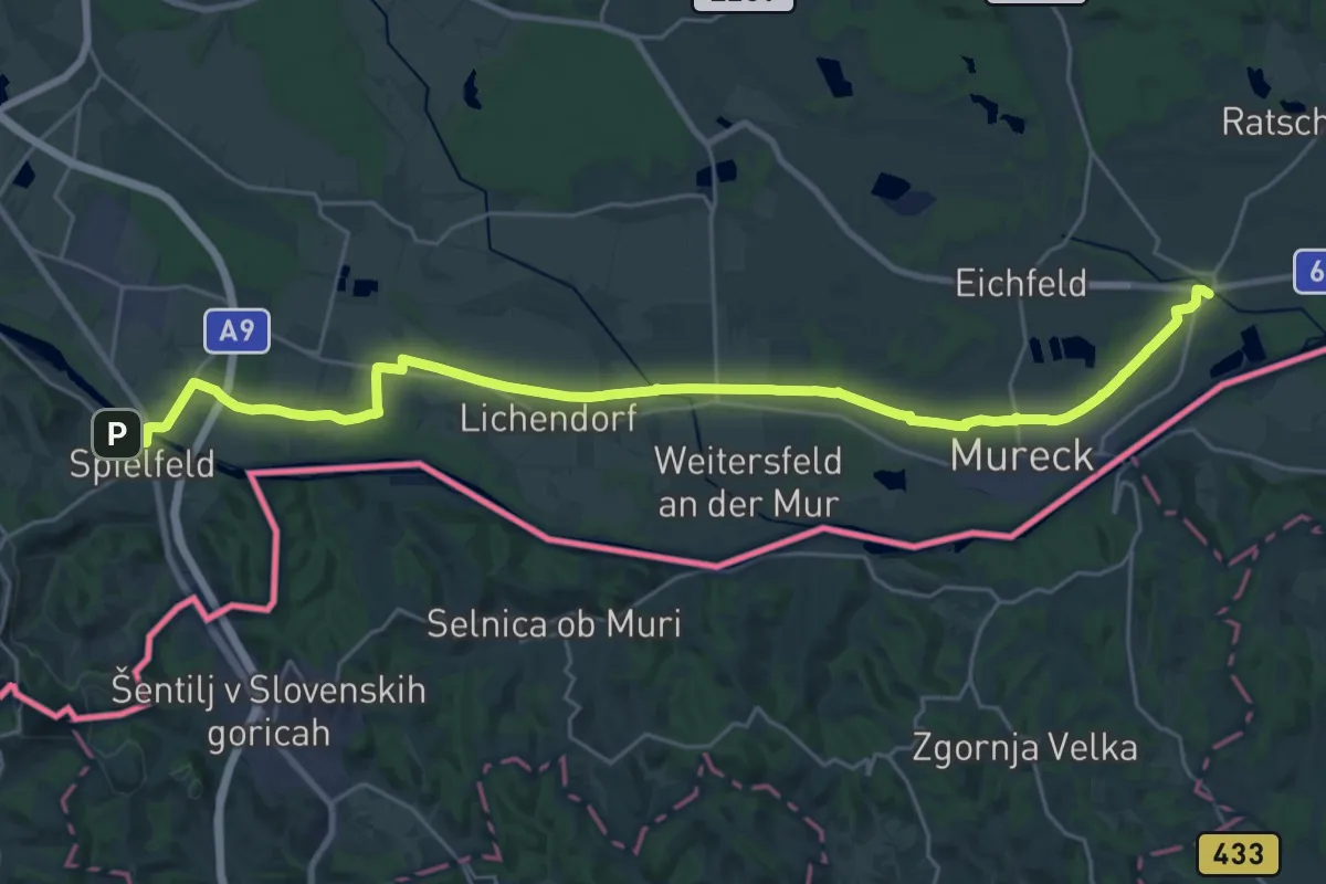
Demanding · Trail
Grenzland Bahnweg
30.5 km · ↑ 35 m · 7 h 17 min · 11 km away
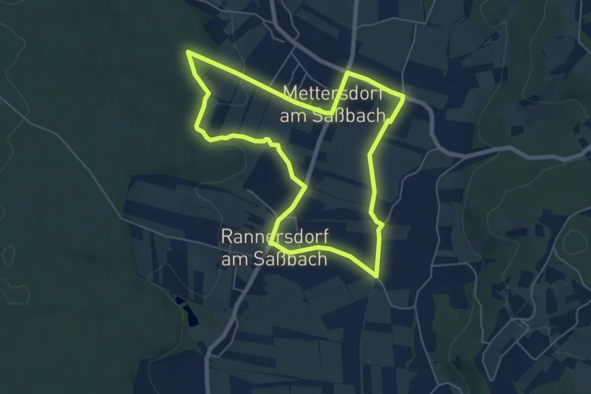
Easy · Trail
Sarossa Krenweg
5.1 km · ↑ 41 m · 1 h 21 min · 12 km away
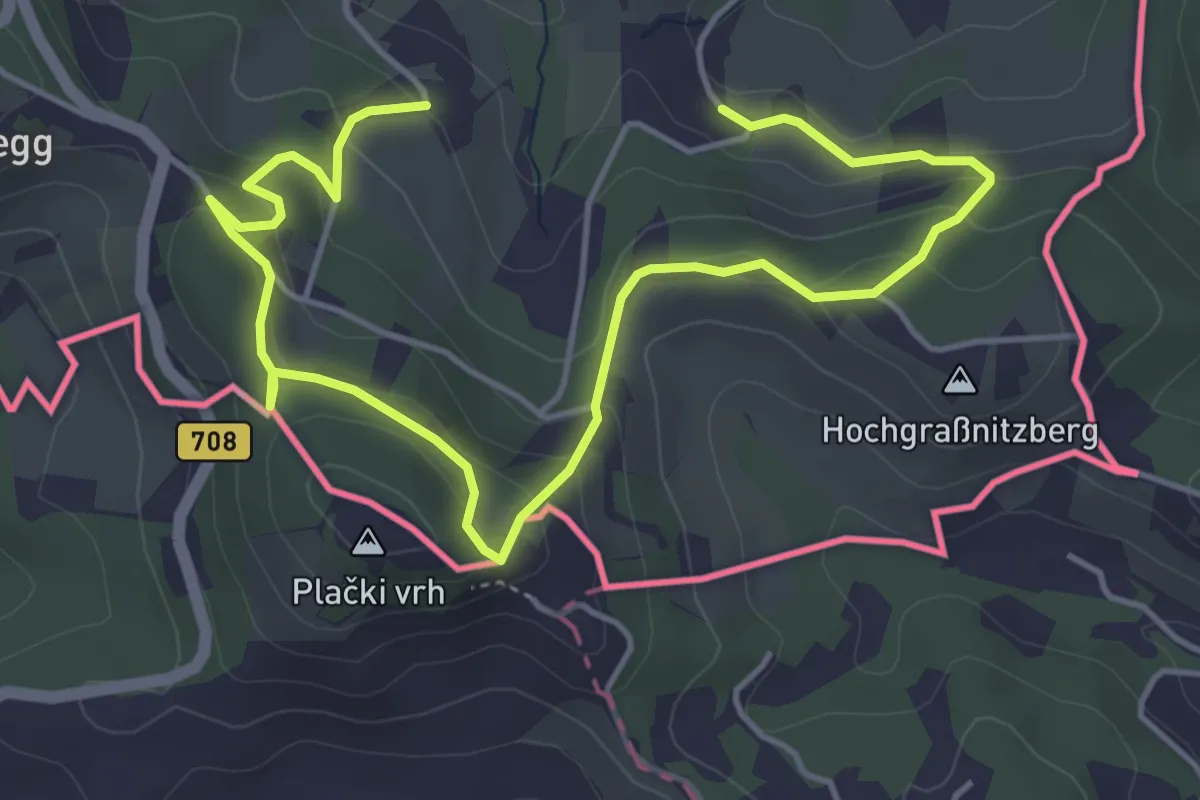
Easy · Trail
Natur-Kultur-Archäologie-Weg
6.5 km · ↑ 262 m · 2 h 6 min · 12 km away
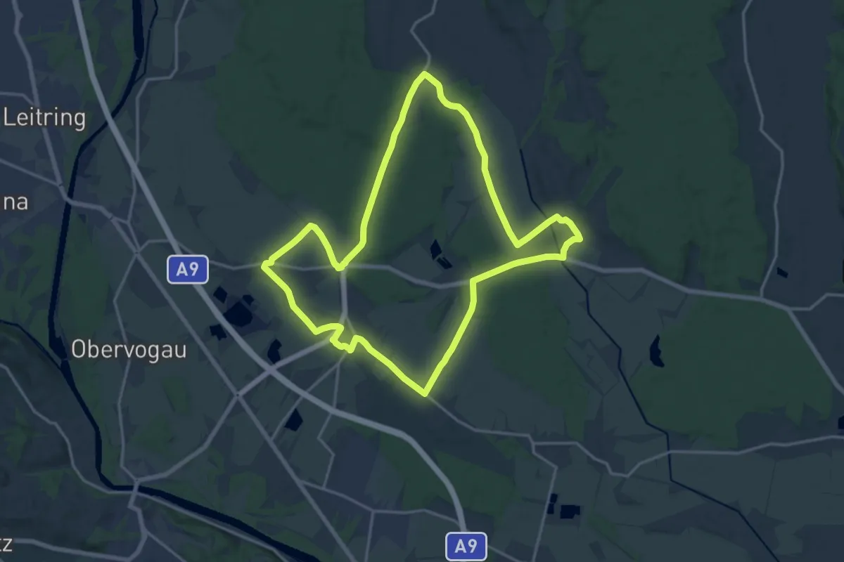
Medium · Trail
Kapellenweg
16.3 km · ↑ 25 m · 4 h 8 min · 12 km away
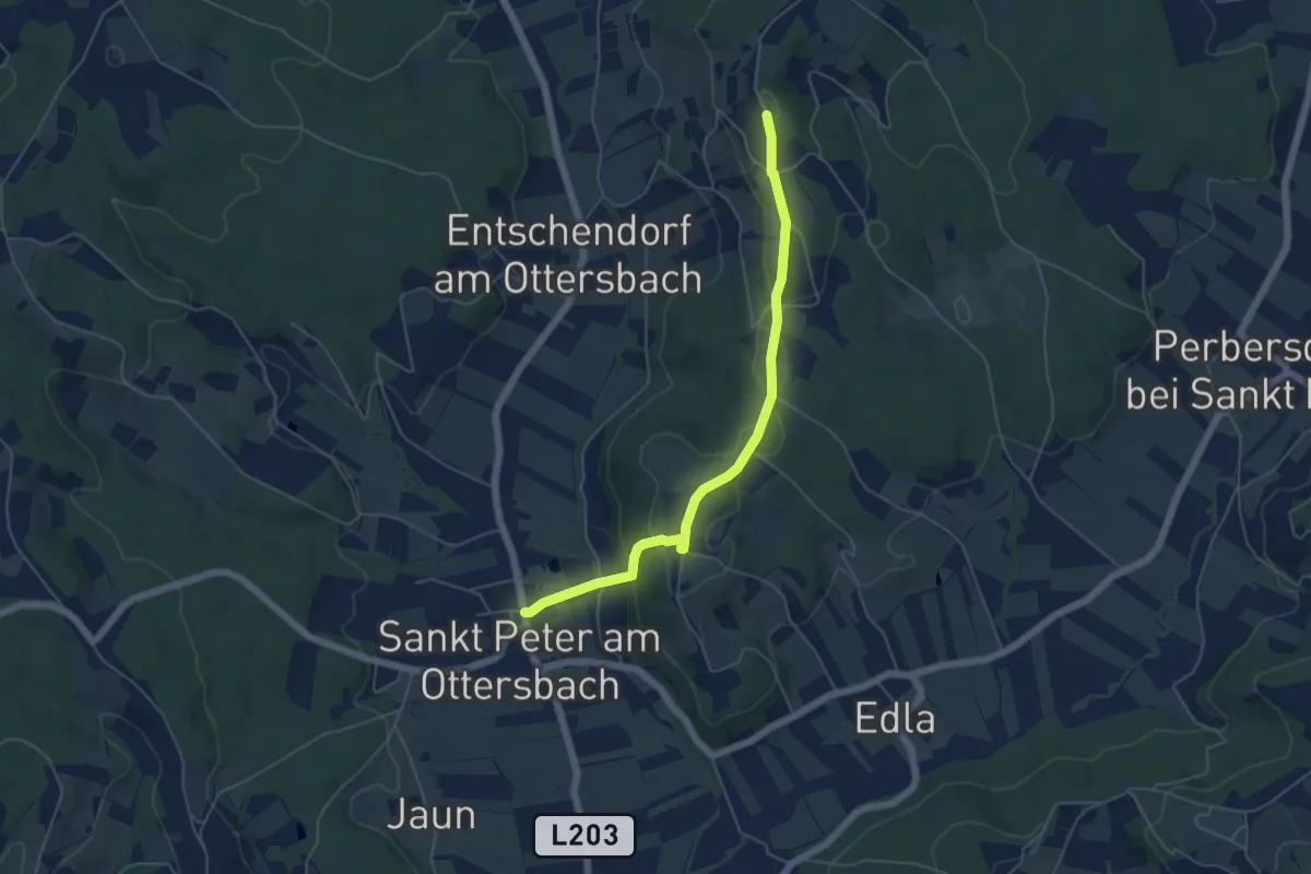
Easy · Trail
Kalvarien-Weg
5.3 km · ↑ 184 m · 1 h 39 min · 12 km away
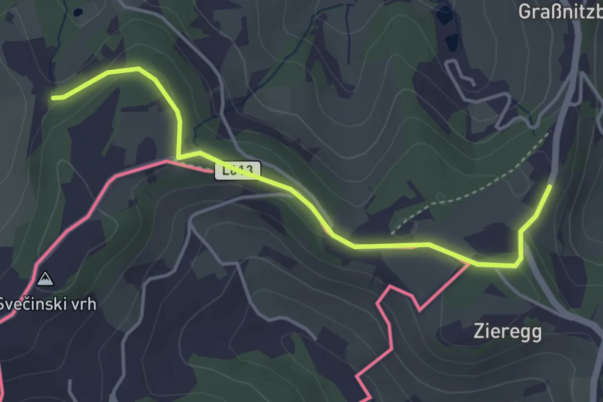
Easy · Trail
Berghausen 1
3.9 km · ↑ 67 m · 1 h 3 min · 12 km away
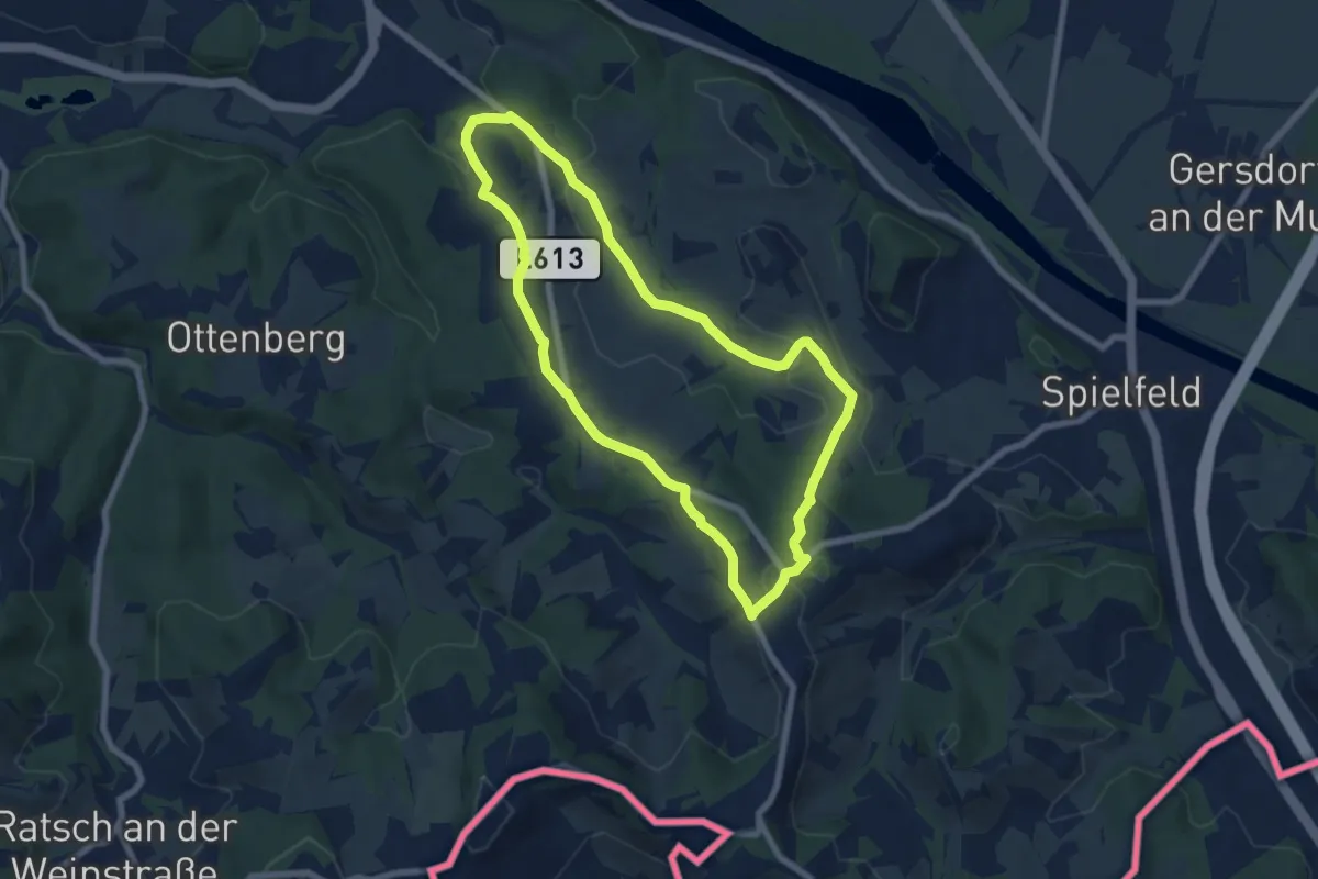
Easy · Trail
Berghausen 2
6.9 km · ↑ 164 m · 2 h 4 min · 12 km away
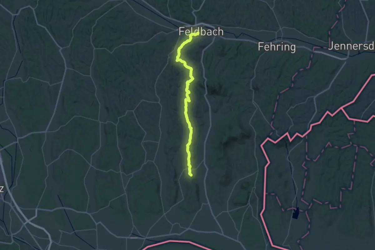
Demanding · Trail
Wanderweg 750
22.7 km · ↑ 414 m · 6 h 35 min · 12 km away
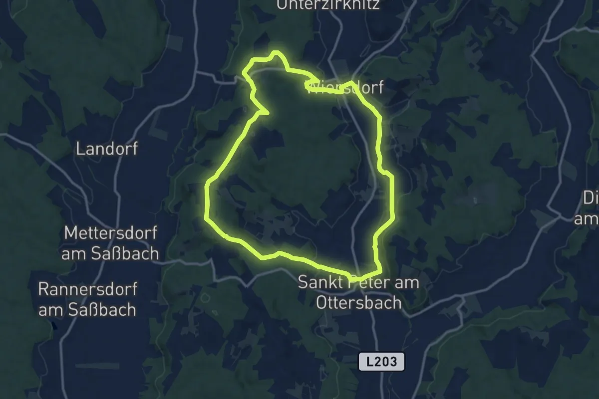
Medium · Trail
Eichriegel-Weg
11.3 km · ↑ 175 m · 3 h 12 min · 13 km away
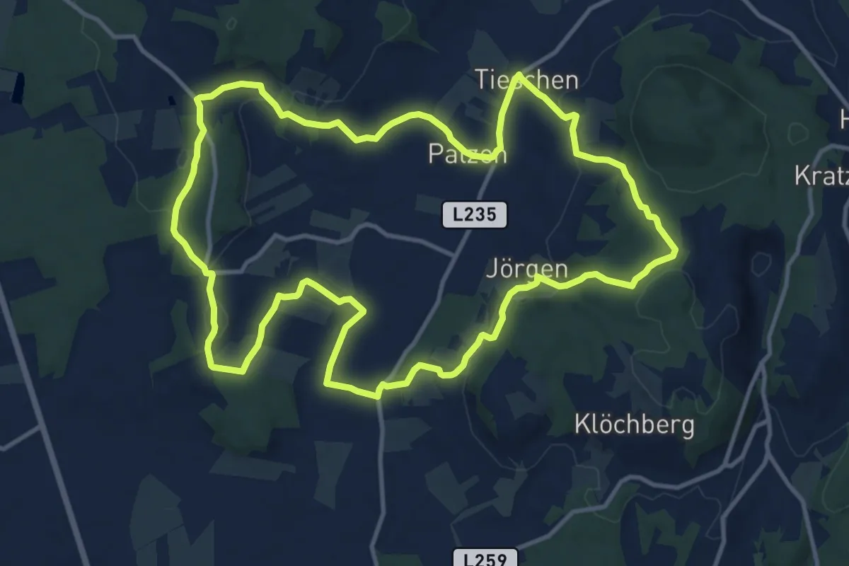
Medium · Trail
Naturbühne - Steinbruchweg
12.2 km · ↑ 292 m · 3 h 41 min · 13 km away
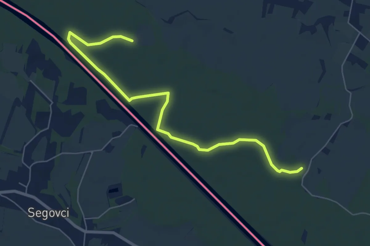
Easy · Trail
murauen.weg
3.2 km · ↑ 0 m · 48 min · 13 km away
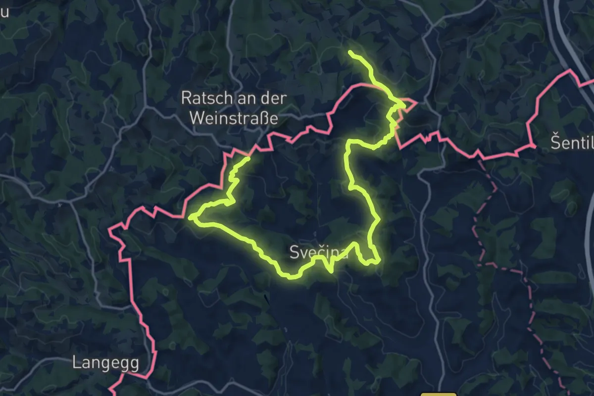
Demanding · Summit
NW Vino TOUR - Blaue Strecke - modra pot
23.1 km · ↑ 945 m · 7 h 30 min · 13 km away
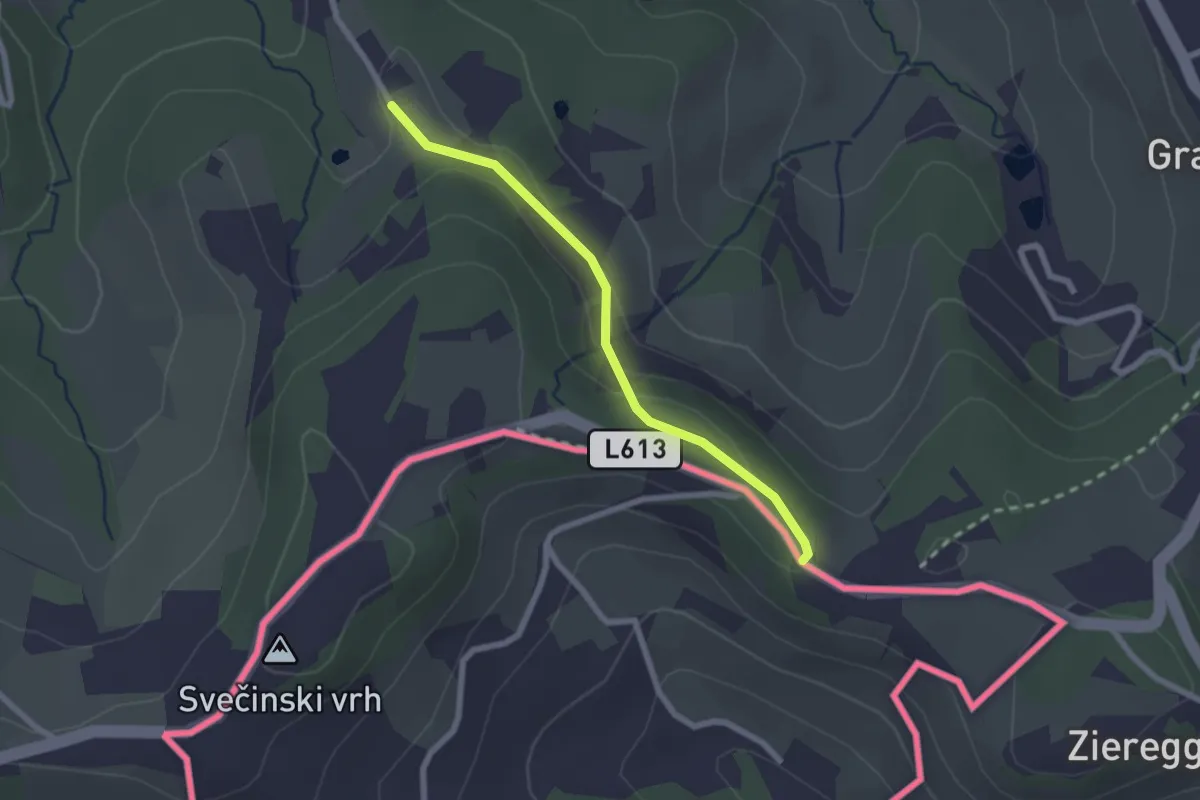
Easy · Trail
Berghausen 1a
2.1 km · ↑ 55 m · 37 min · 13 km away
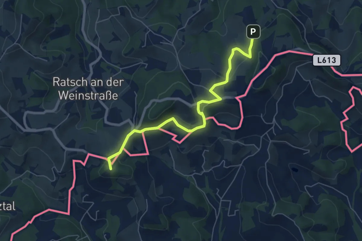
Easy · Summit
NW Vino TOUR - Gelbe Strecke - umena pot
5.9 km · ↑ 234 m · 1 h 54 min · 14 km away
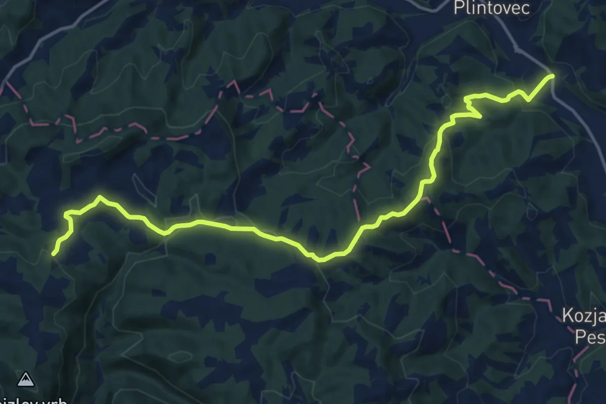
Medium · Trail
Kungota - Gaj nad Mariborom
13.9 km · ↑ 431 m · 4 h 13 min · 14 km away
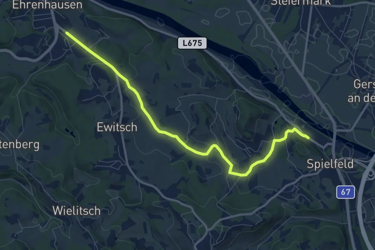
Medium · Trail
Südalpenweg 03 - Etappe 2
9.1 km · ↑ 188 m · 2 h 33 min · 14 km away
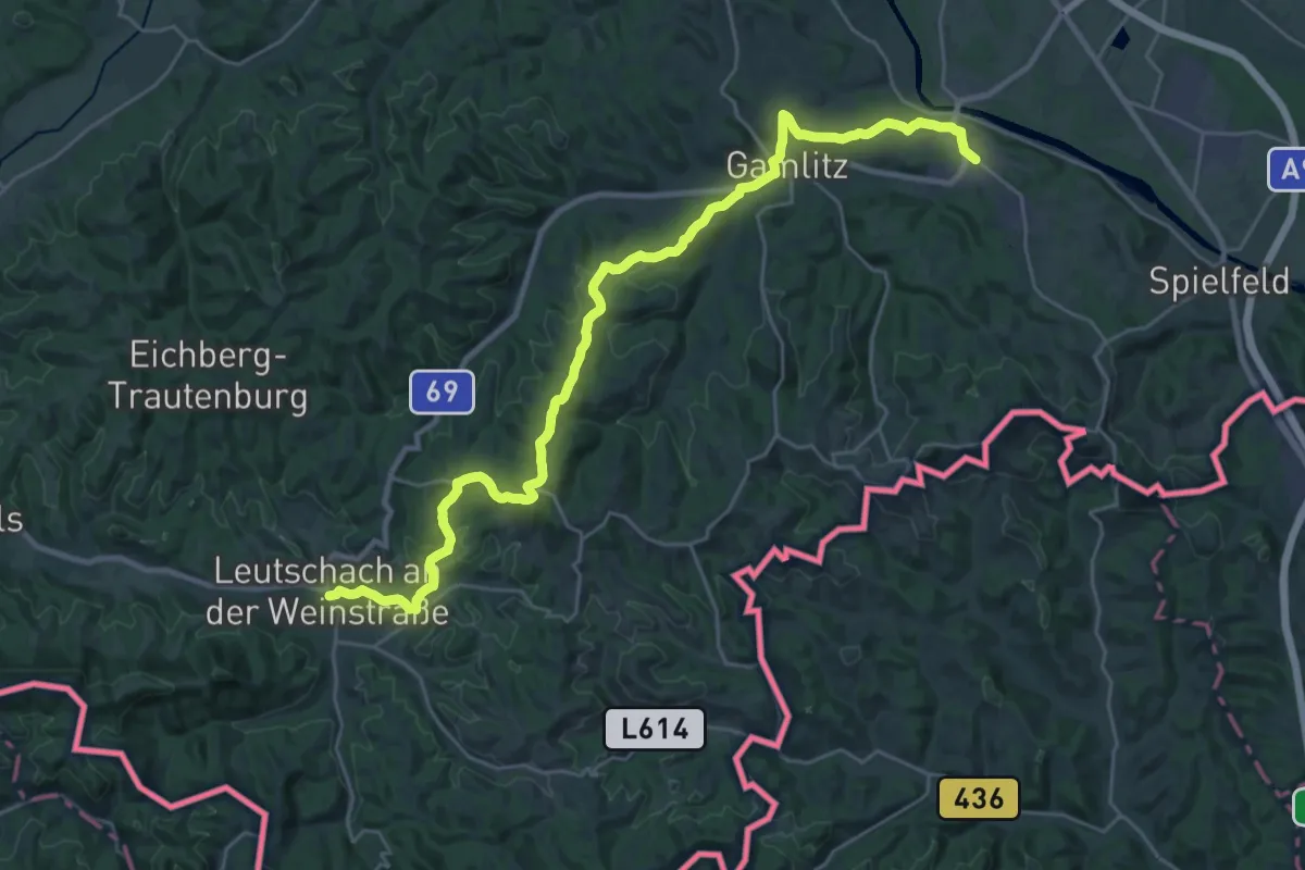
Medium · Trail
Südalpenweg 03 - Etappe 3
15.8 km · ↑ 424 m · 4 h 49 min · 14 km away
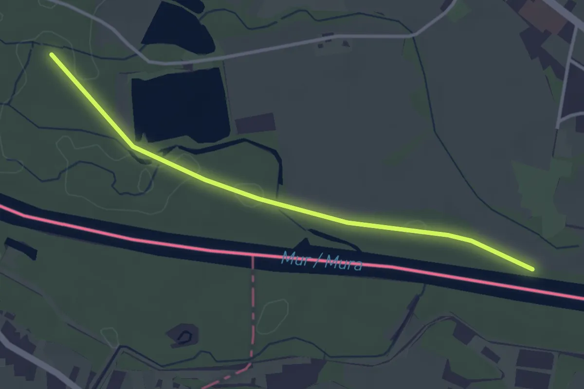
Easy · Trail
Linke Fußspur
3.4 km · ↑ 0 m · 48 min · 14 km away
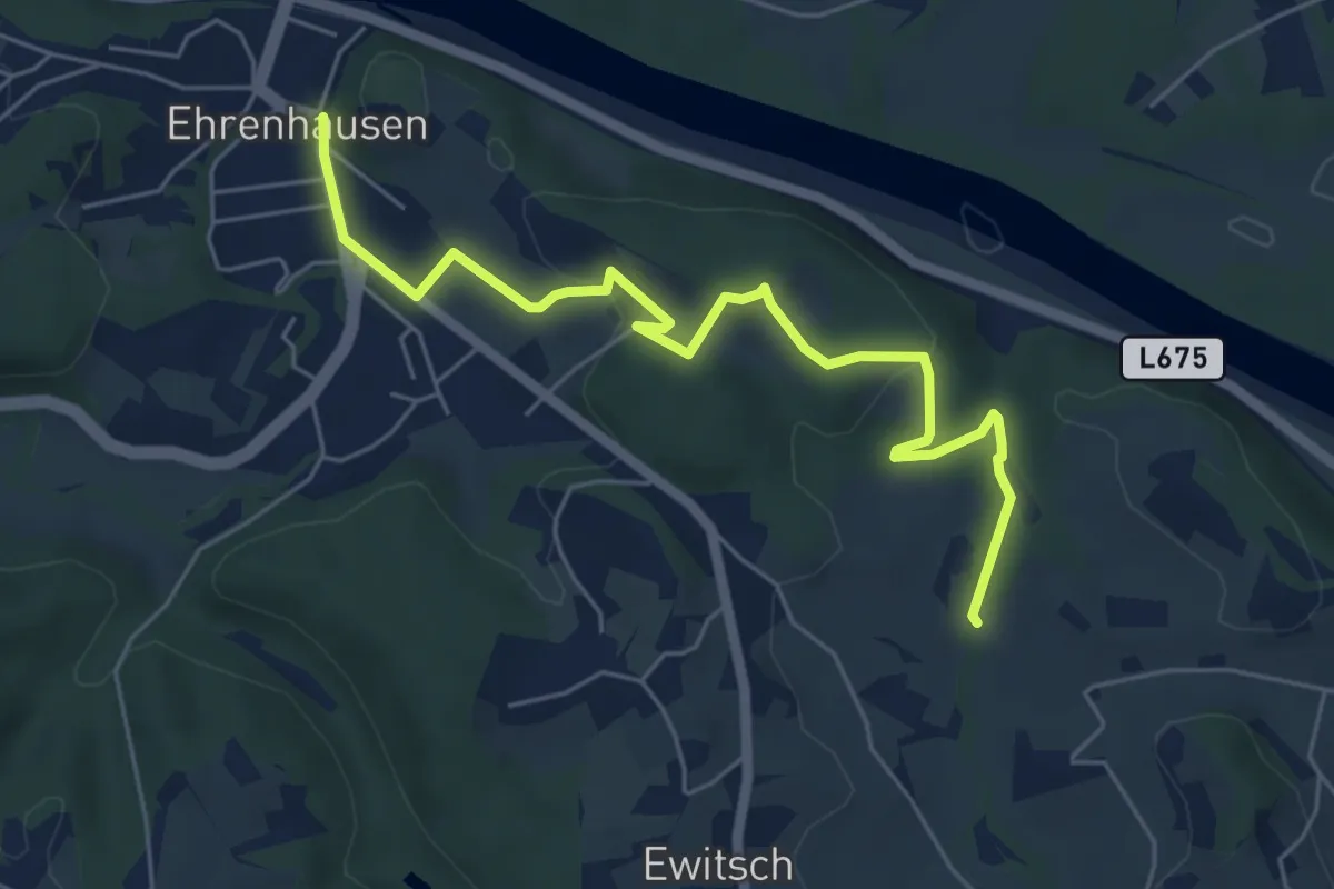
Medium · Trail
Ehrenhausen 4
3.1 km · ↑ 73 m · 55 min · 14 km away
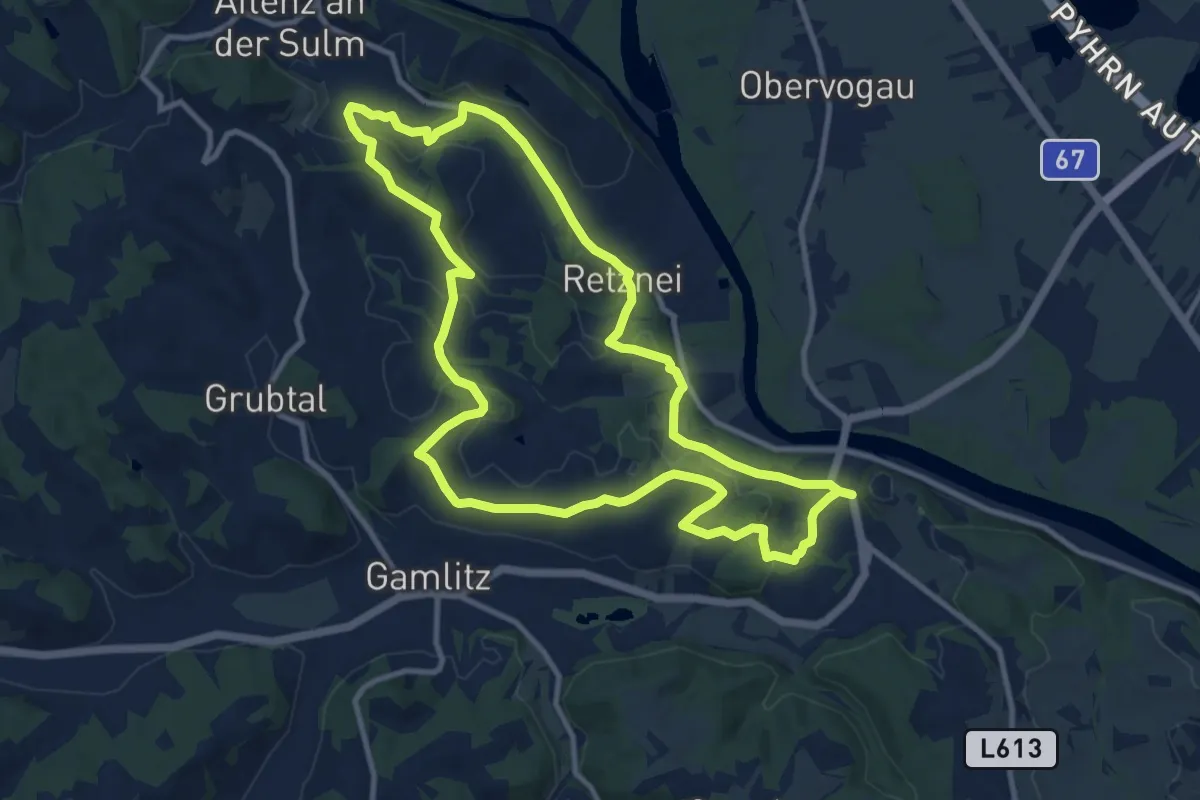
Medium · Trail
Ehrenhausen 1
11.1 km · ↑ 253 m · 3 h 20 min · 14 km away
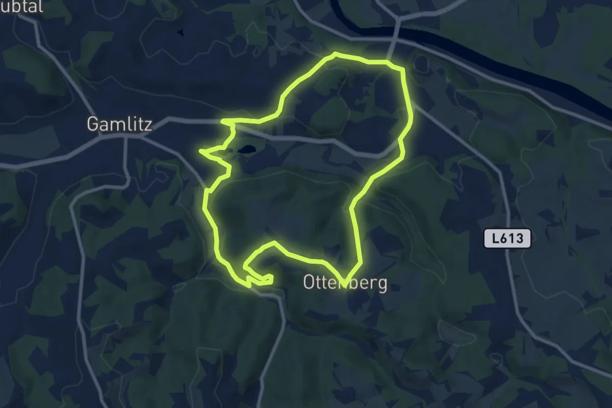
Easy · Trail
Ehrenhausen 3
7.8 km · ↑ 158 m · 2 h 18 min · 14 km away
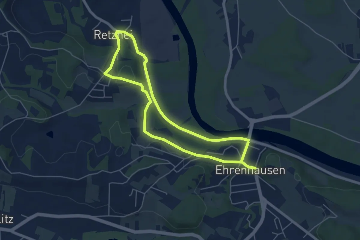
Medium · Trail
Ehrenhausen 2
9.3 km · ↑ 133 m · 2 h 28 min · 14 km away
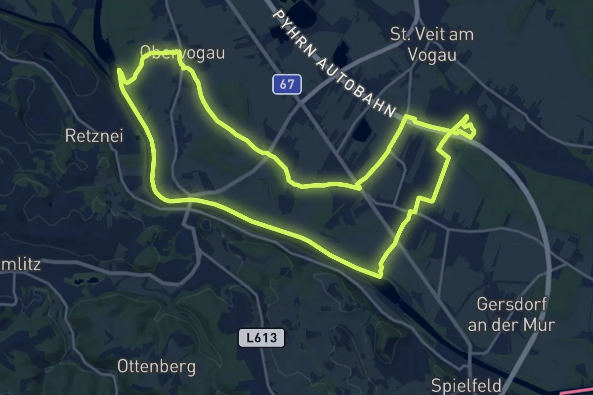
Medium · Trail
Auen- und Moorwanderweg
15.0 km · ↑ 4 m · 3 h 46 min · 14 km away
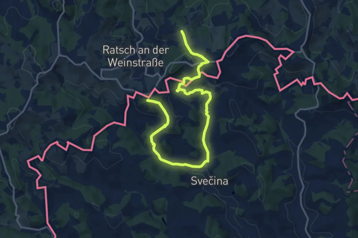
Medium · Summit
NW Vino TOUR - Rote Strecke - redeča pot
13.0 km · ↑ 434 m · 4 h · 14 km away
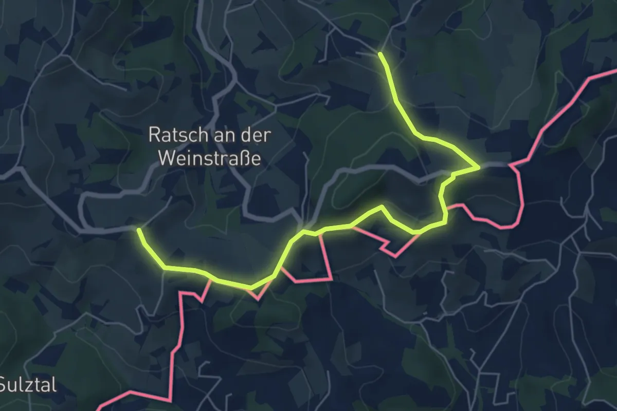
Easy · Summit
Weinwanderweg Ratsch-Ottenberg
3.1 km · ↑ 72 m · 56 min · 14 km away
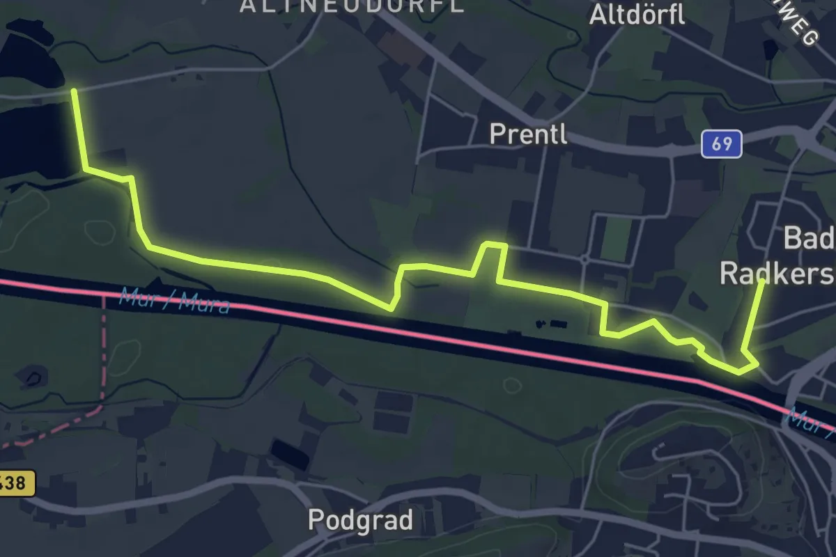
Easy · Trail
Wasserweg West
6.5 km · ↑ 0 m · 1 h 32 min · 15 km away