Trails near Novo mesto
28 hikes starting within 15 km, nearest first.
Nearest first
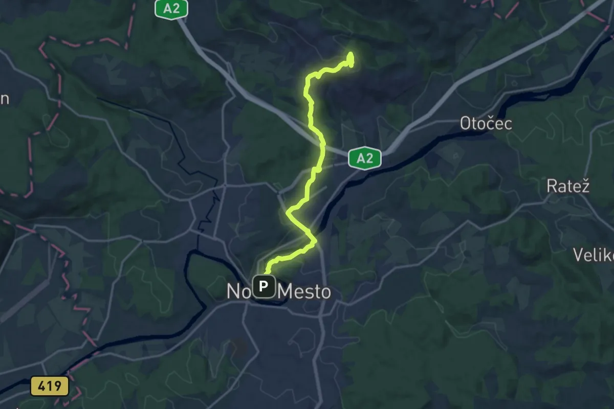
Medium · Summit
Novo mesto - Trška gora
14.0 km · ↑ 452 m · 4 h 18 min · under 1 km away
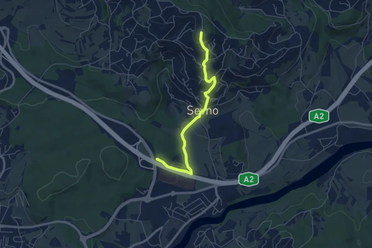
Easy · Summit
Grm - Trška gora
5.2 km · ↑ 252 m · 1 h 46 min · 3 km away
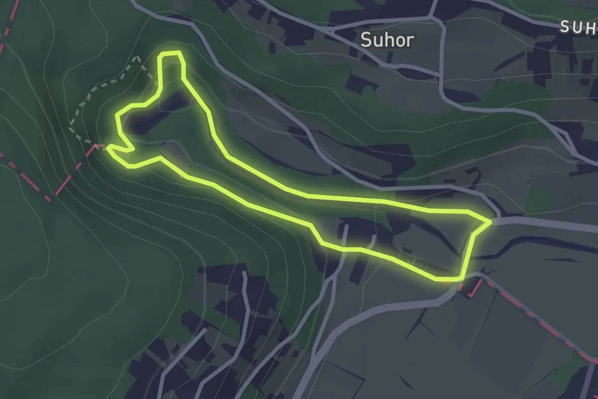
Demanding · Trail
Pešpot Luknja
2.5 km · ↑ 92 m · 50 min · 5 km away
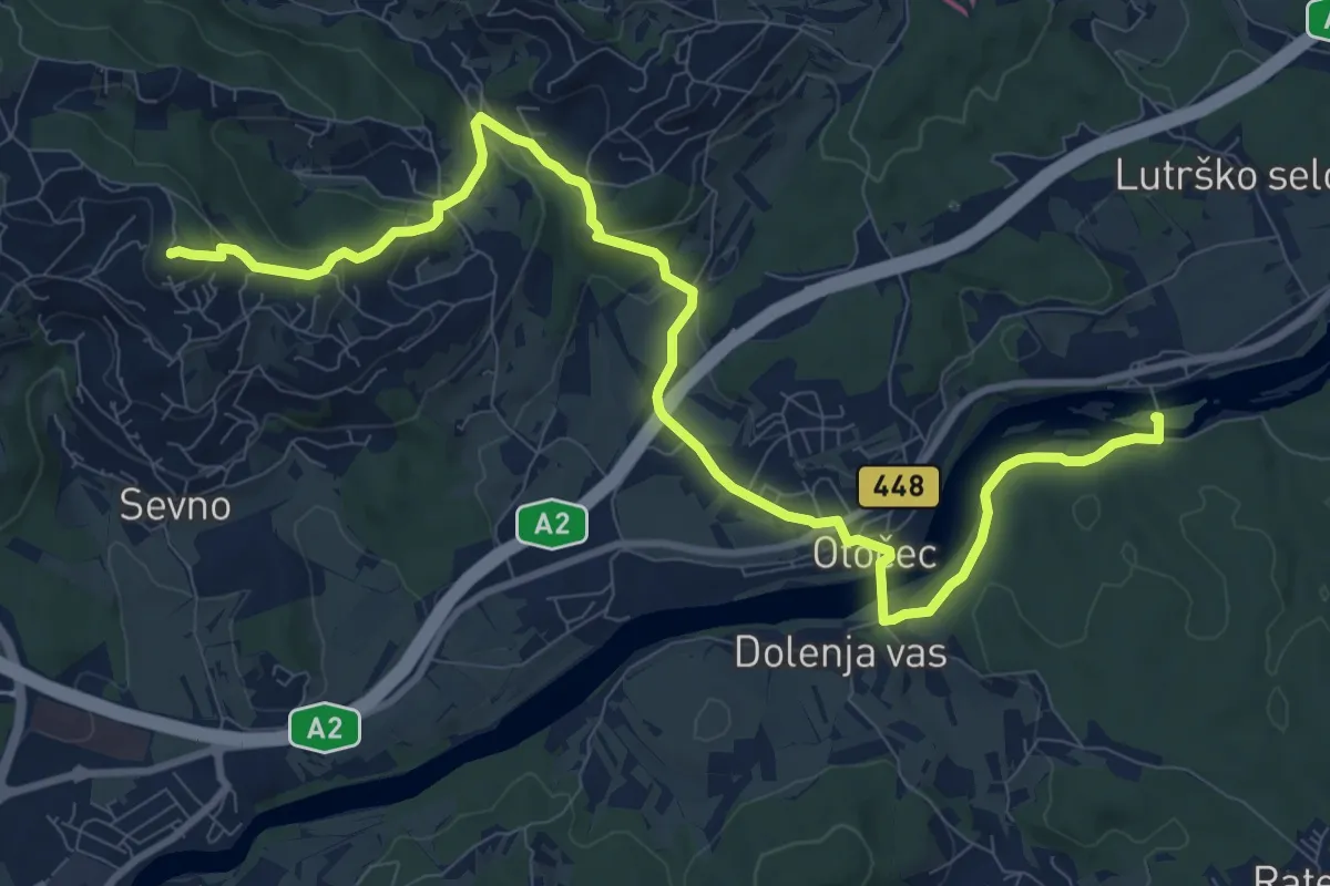
Medium · Summit
Grad Otočec - Trška gora
12.2 km · ↑ 364 m · 3 h 40 min · 6 km away
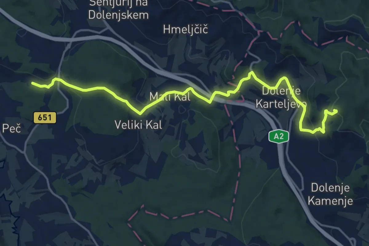
Medium · Trail
Mirna Peč - Grad Hmeljnik
14.3 km · ↑ 525 m · 4 h 31 min · 7 km away
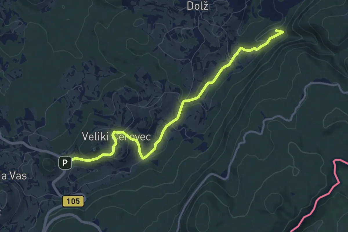
Medium · Summit
Veliki Cerovec - Jordan
9.8 km · ↑ 300 m · 2 h 58 min · 8 km away
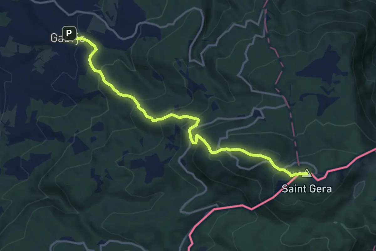
Demanding · Summit
Gabrje - Pl. dom pri Gospodični - Trdinov vrh
10.7 km · ↑ 839 m · 4 h 20 min · 8 km away
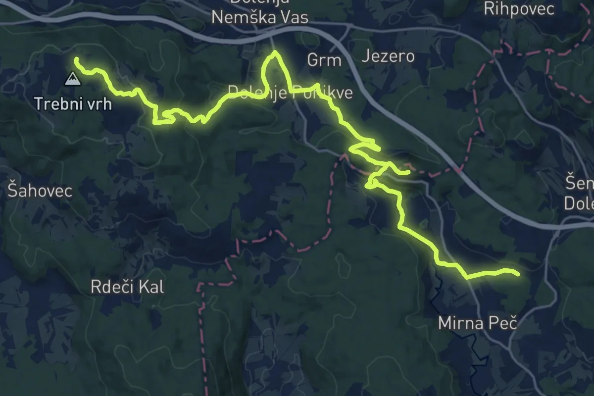
Medium · Trail
Mirna Peč - Vrhtrebnje
13.3 km · ↑ 524 m · 4 h 21 min · 9 km away
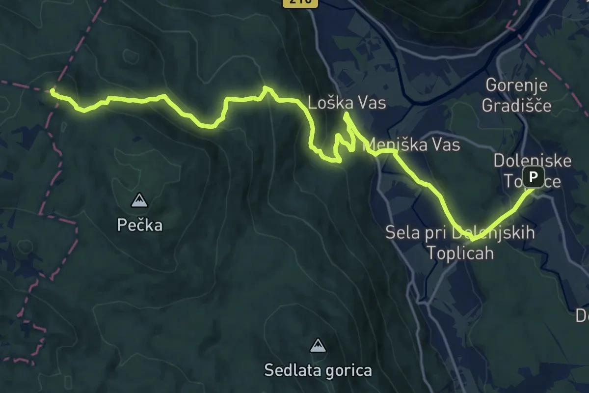
Demanding · Summit
Dolenjske Toplice - Sv. Peter
19.8 km · ↑ 807 m · 6 h 25 min · 10 km away
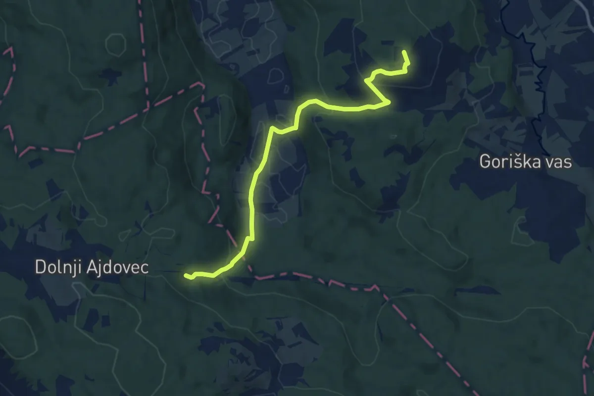
Medium · Summit
Mirna Peč - Frata
9.8 km · ↑ 401 m · 3 h 10 min · 11 km away
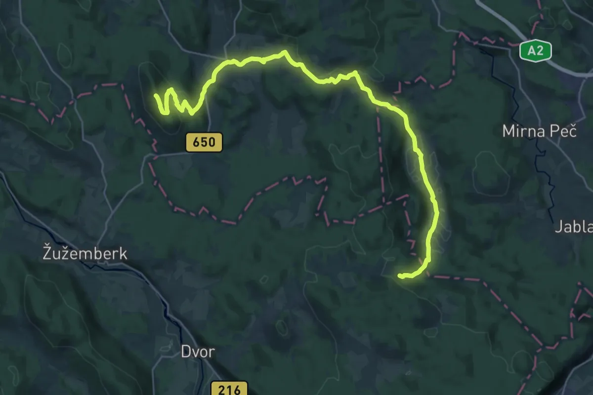
Demanding · Summit
Frata - Lisec
30.4 km · ↑ 969 m · 9 h 17 min · 11 km away
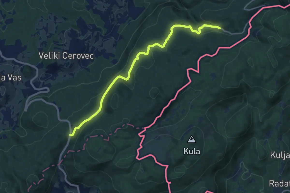
Medium · Trail
Prelaz Vahta - Jordan
12.4 km · ↑ 268 m · 3 h 30 min · 11 km away
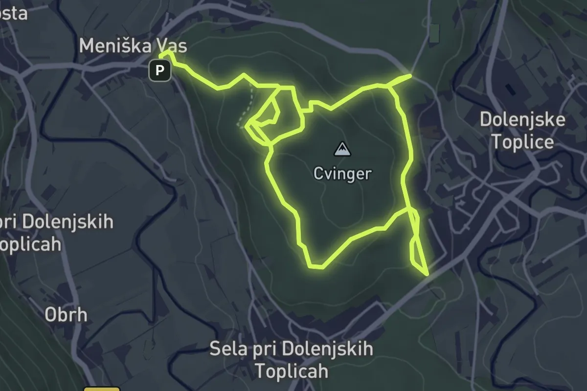
Medium · Trail
Arheološka pot Cvinger
8.9 km · ↑ 290 m · 2 h 44 min · 11 km away
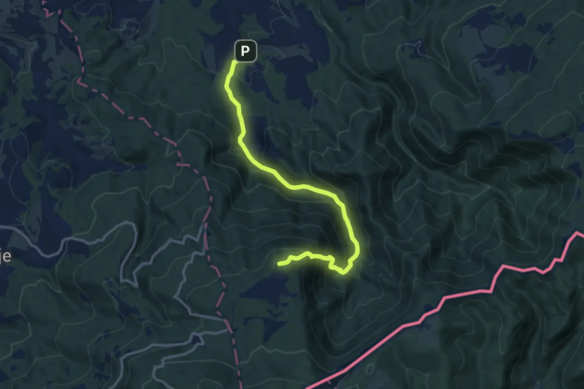
Medium · Cabin
Cerov Log - Sv. Miklavž (po cesti)
10.5 km · ↑ 748 m · 4 h 6 min · 11 km away
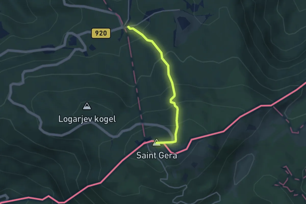
Easy · Summit
Krvavi kamen - Trdinov vrh
2.9 km · ↑ 241 m · 1 h 12 min · 12 km away
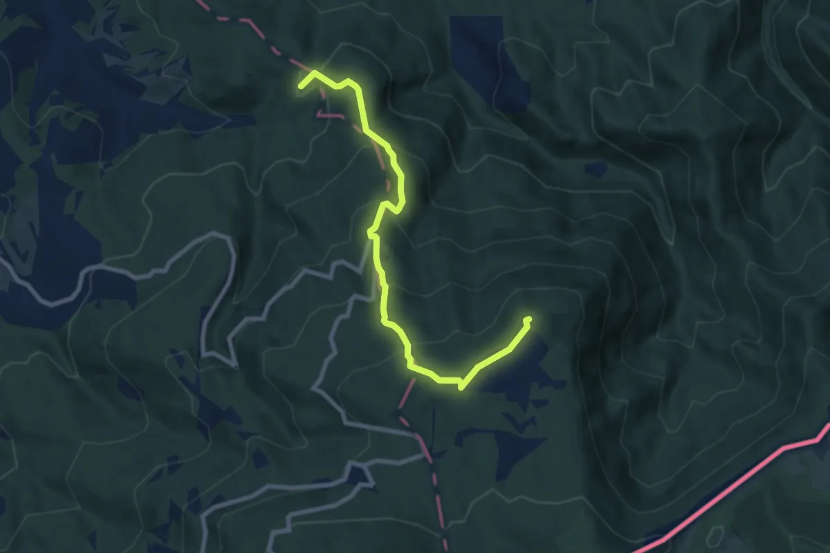
Medium · Summit
Cerov Log - Sv. Miklavž
7.5 km · ↑ 488 m · 2 h 49 min · 12 km away
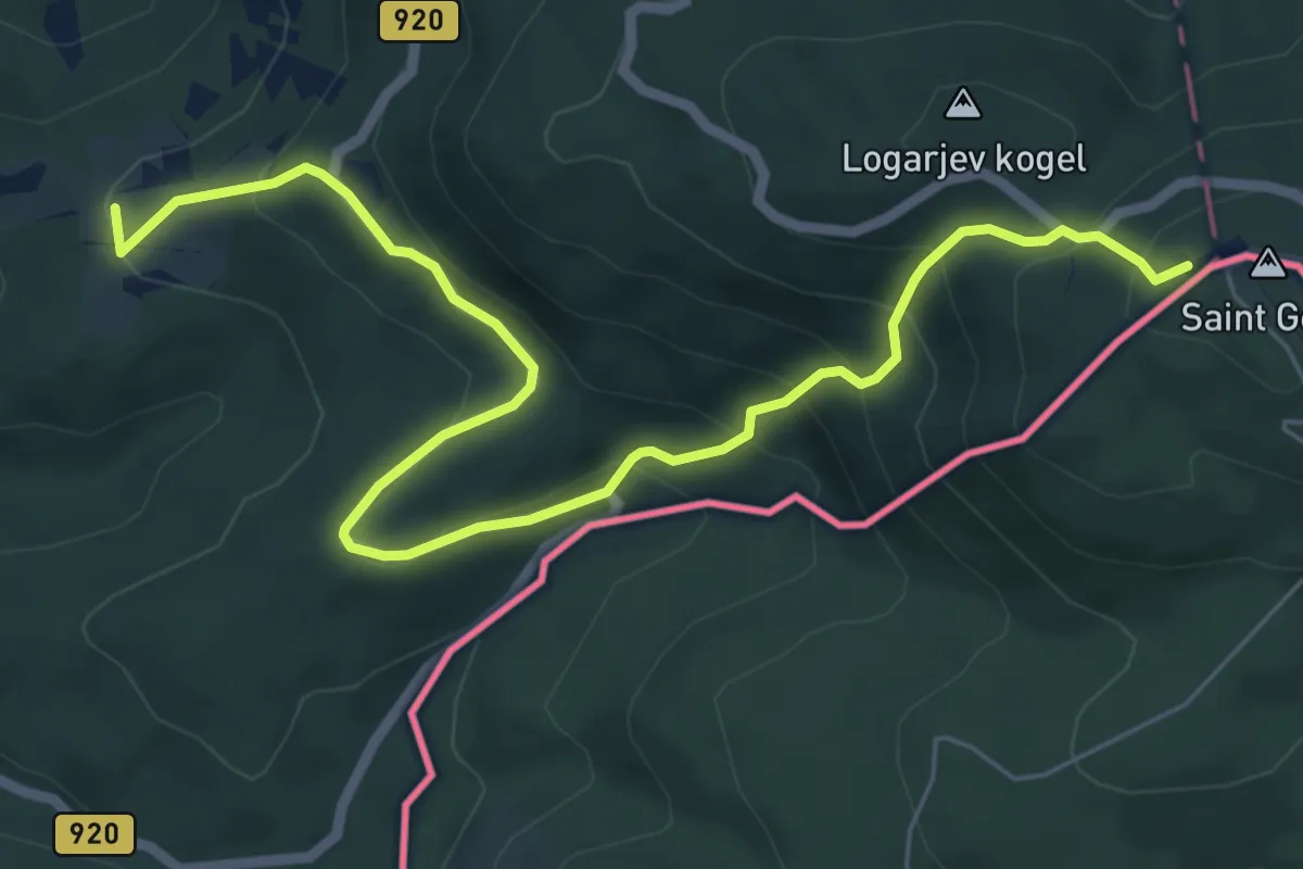
Medium · Summit
Dolž - Trdinov vrh
7.7 km · ↑ 501 m · 2 h 54 min · 12 km away
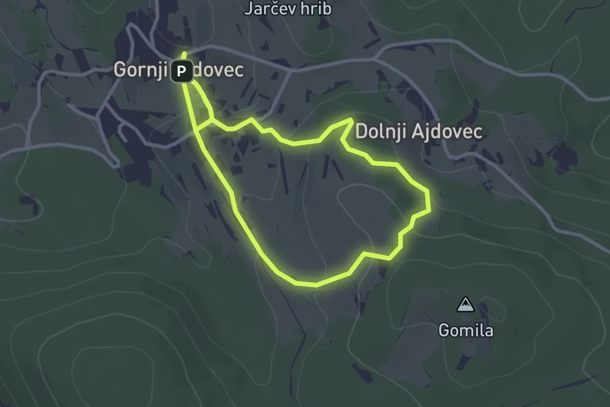
Easy · Summit
Gozdna učna pot Ajdovček
2.6 km · ↑ 91 m · 51 min · 12 km away
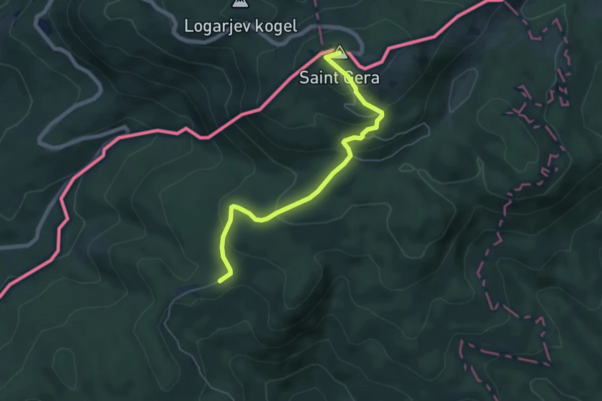
Easy · Summit
Sekulići - Sv. Gera
5.0 km · ↑ 260 m · 1 h 45 min · 13 km away
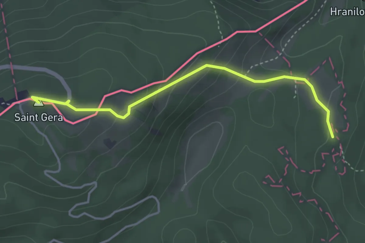
Medium · Summit
Sošice - Boići - Sv. Gera
3.6 km · ↑ 178 m · 1 h 14 min · 14 km away
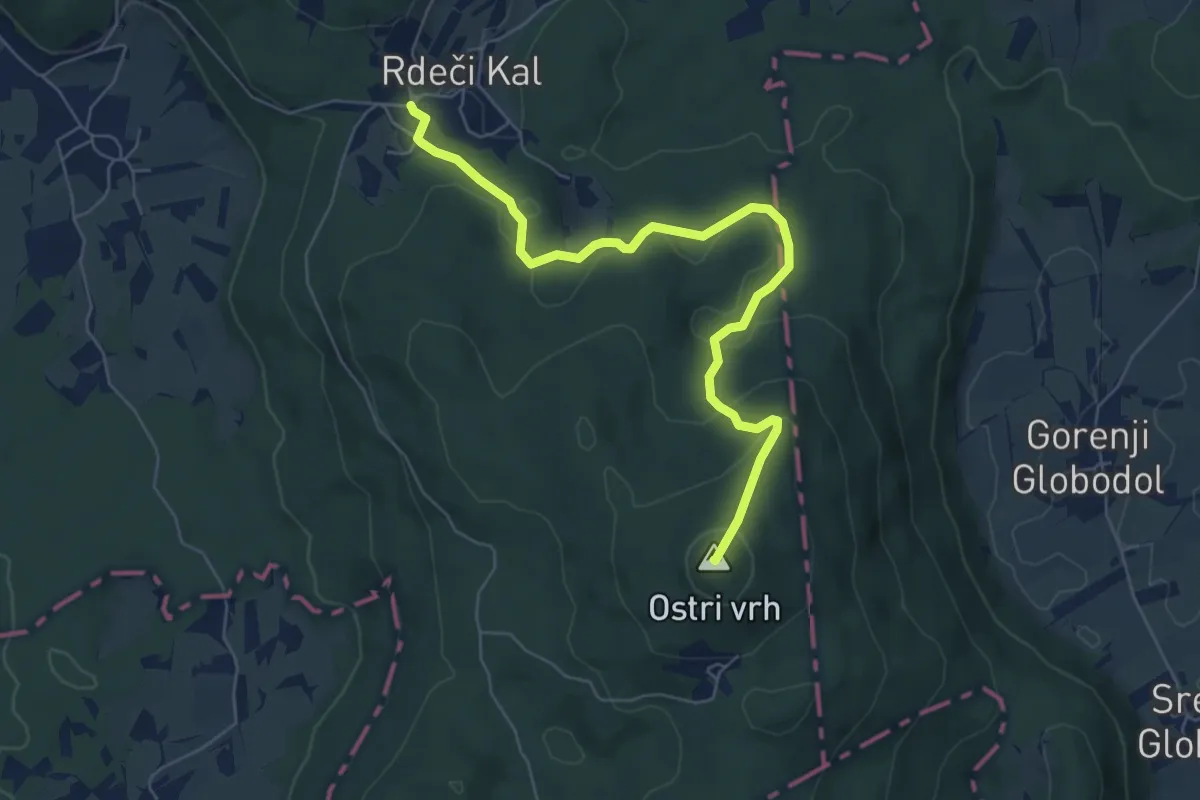
Easy · Summit
Rdeči Kal - Ostri vrh (mimo jam)
6.8 km · ↑ 271 m · 2 h 11 min · 14 km away
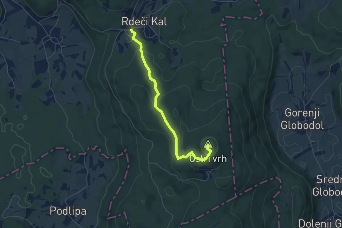
Easy · Summit
Rdeči Kal - Velika raven - Ostri vrh
5.6 km · ↑ 218 m · 1 h 47 min · 14 km away
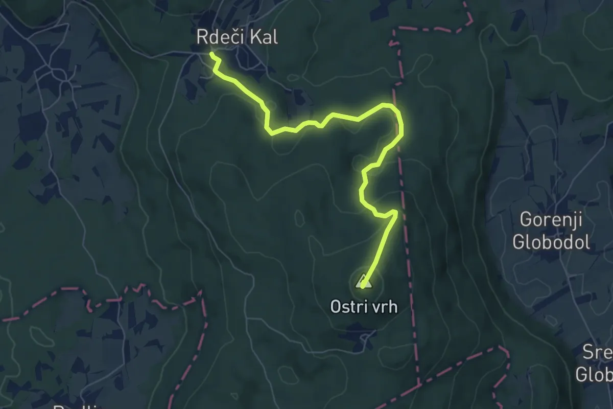
Easy · Summit
Rdeči Kal - Frata
6.9 km · ↑ 272 m · 2 h 13 min · 14 km away
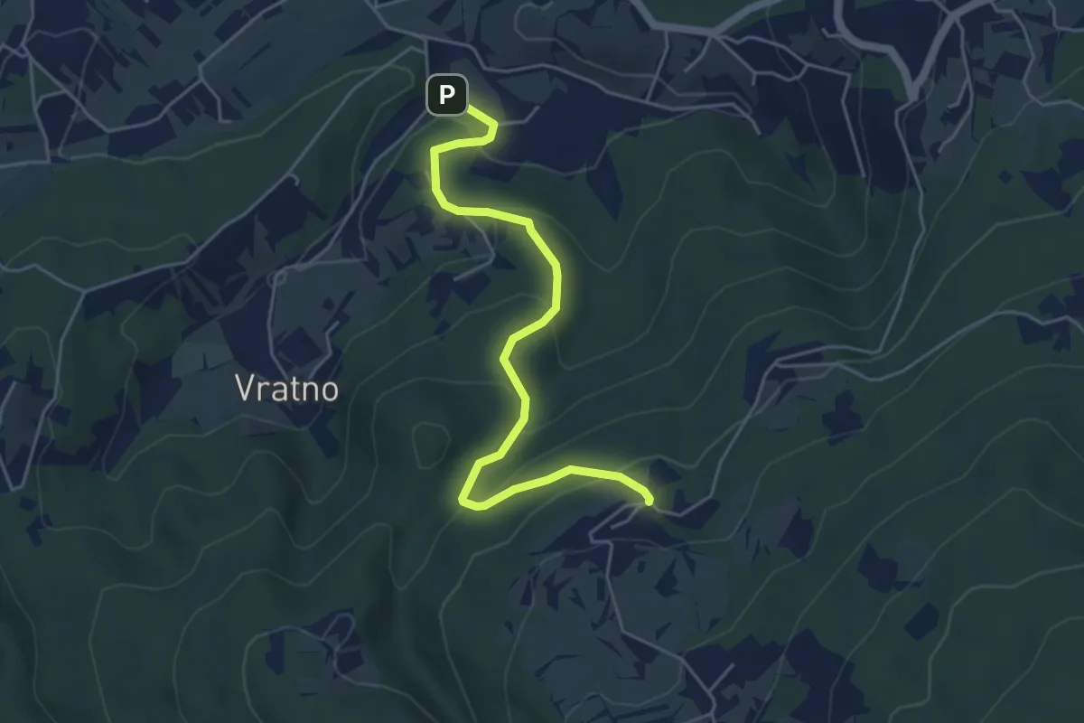
Easy · Trail
Pleterje - Javorovica
5.0 km · ↑ 284 m · 1 h 48 min · 14 km away
Easy · Trail
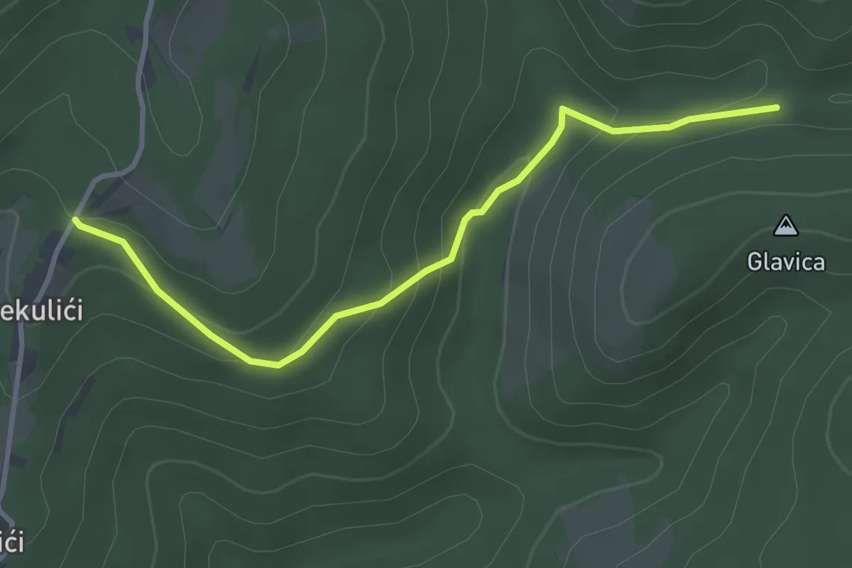
Sekulići - spoj s putem za Sošice
3.3 km · ↑ 141 m · 1 h 5 min · 14 km away
Medium · Summit
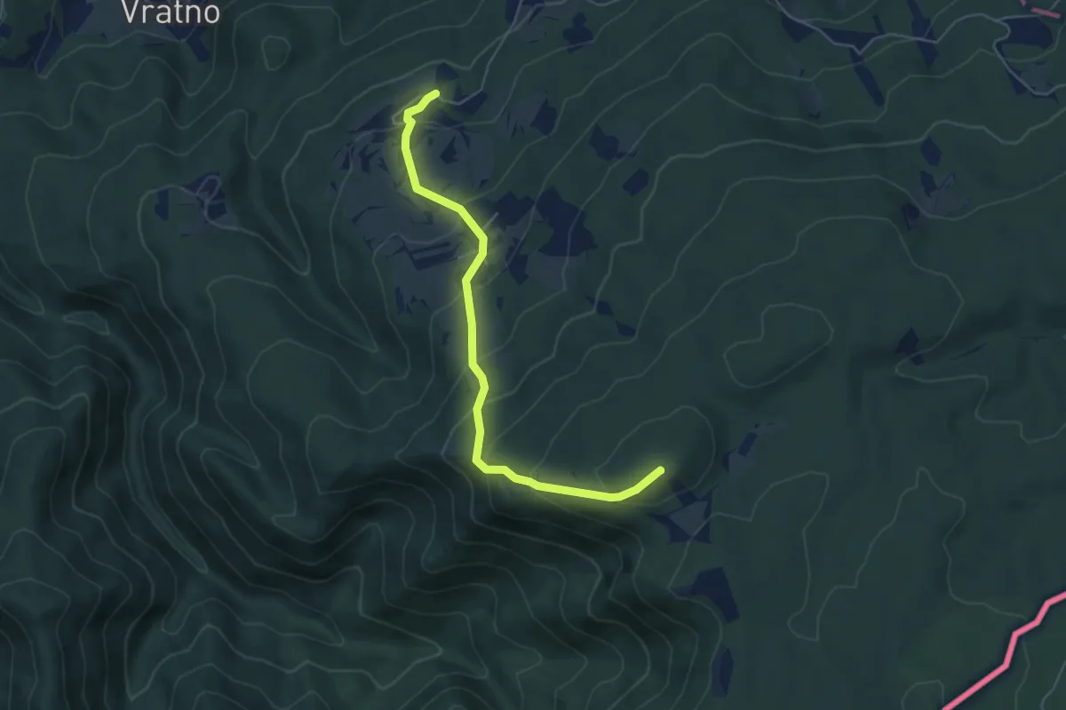
Javorovica - Pirčev hrib
5.3 km · ↑ 418 m · 2 h 10 min · 15 km away
Easy · Trail
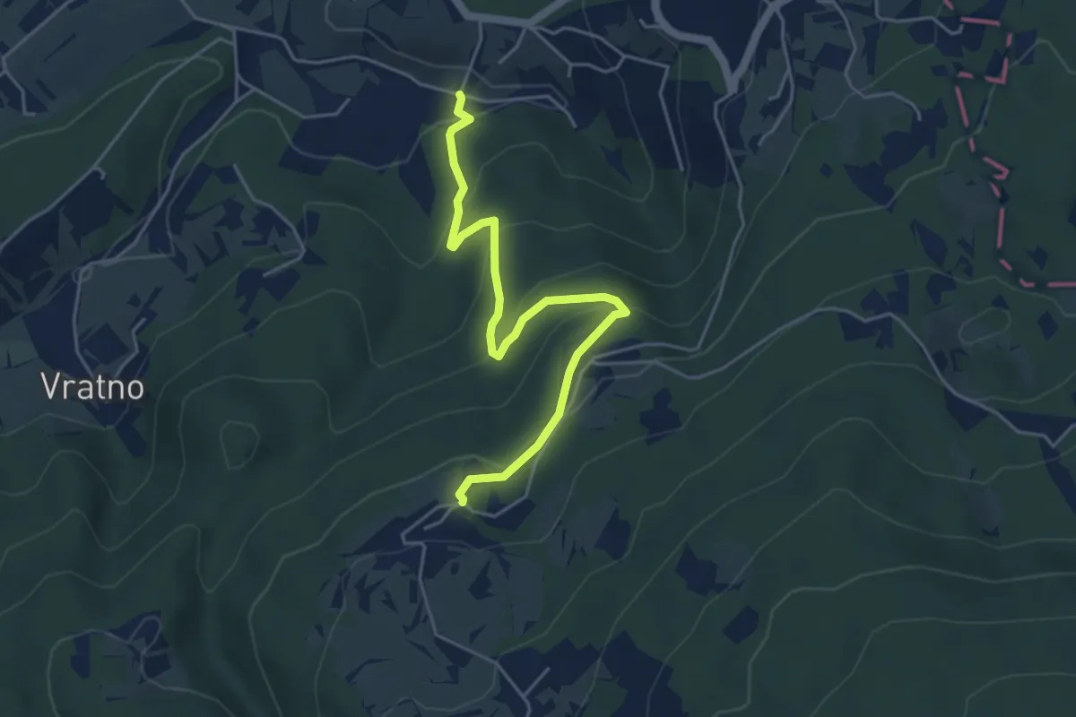
Drča - Javorovica
4.8 km · ↑ 278 m · 1 h 45 min · 15 km away
Demanding · Summit
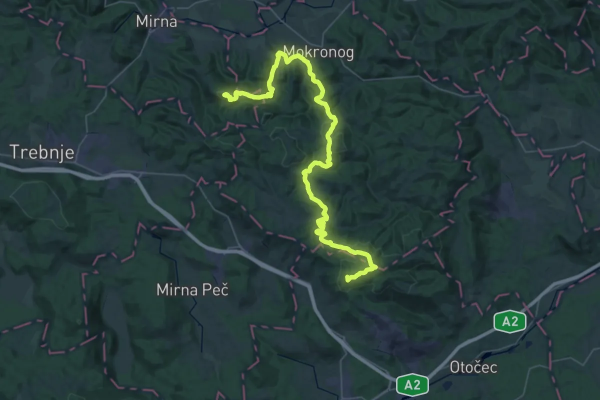
Debenec - Grad Hmeljnik
40.6 km · ↑ 1407 m · 12 h 38 min · 15 km away