Trails near Ravne na Koroškem
72 hikes starting within 15 km, nearest first.
Nearest first, page 2 of 2
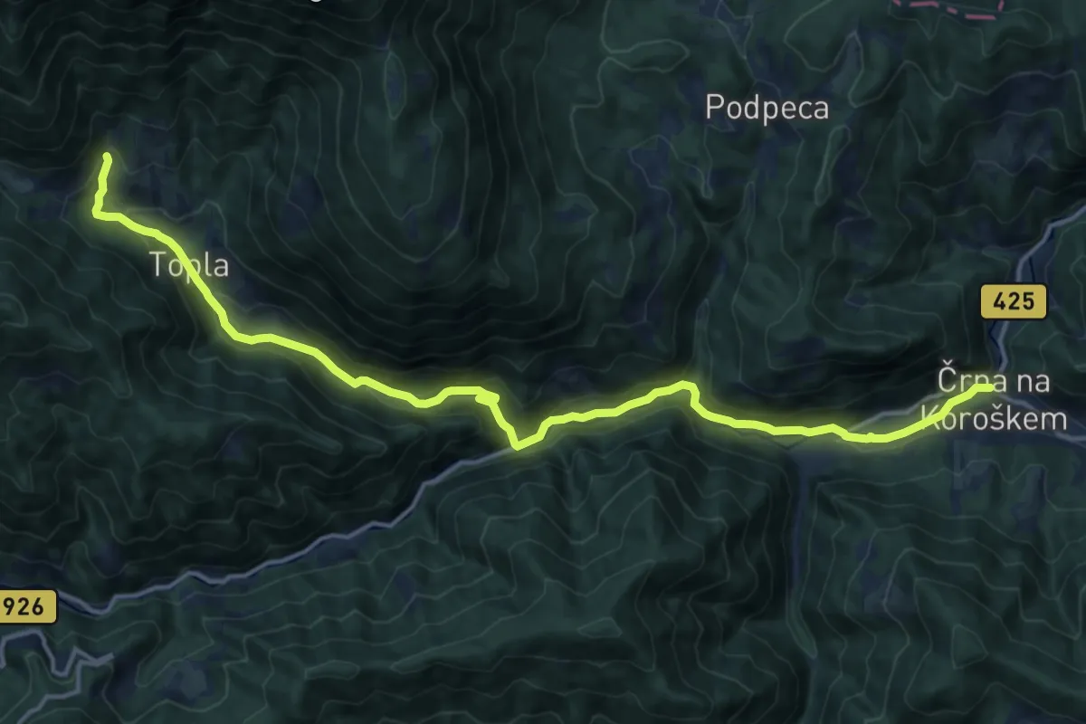
Medium · Trail
Črna - Topla
17.3 km · ↑ 608 m · 5 h 24 min · 12 km away
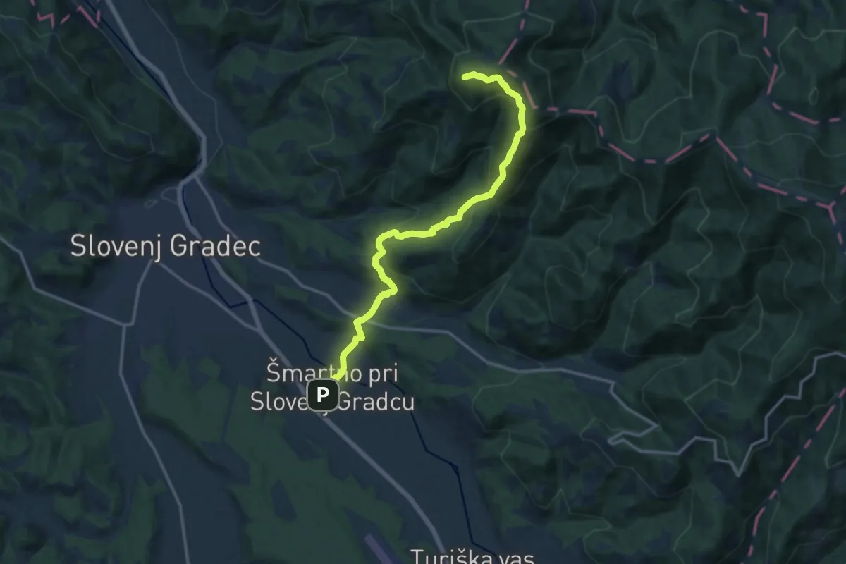
Medium · Cabin
Šmartno - Koča pod Kremžarjevim vrhom
13.0 km · ↑ 746 m · 4 h 41 min · 12 km away
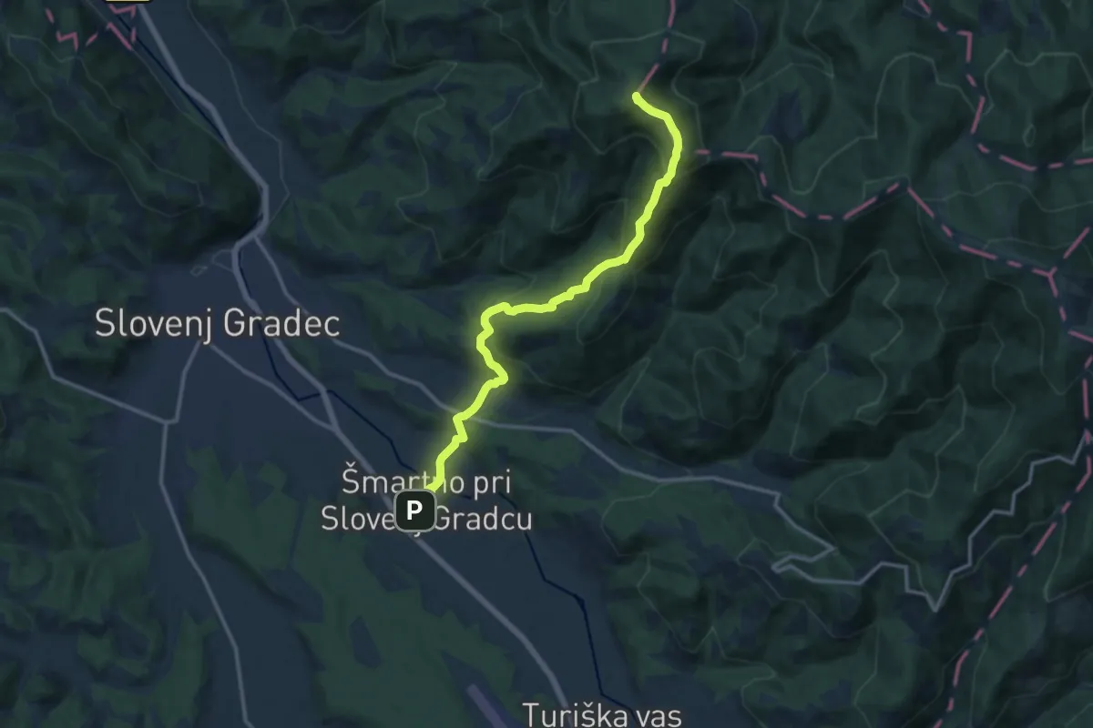
Medium · Summit
Šmartno - Kremžarjev vrh
12.7 km · ↑ 736 m · 4 h 36 min · 12 km away
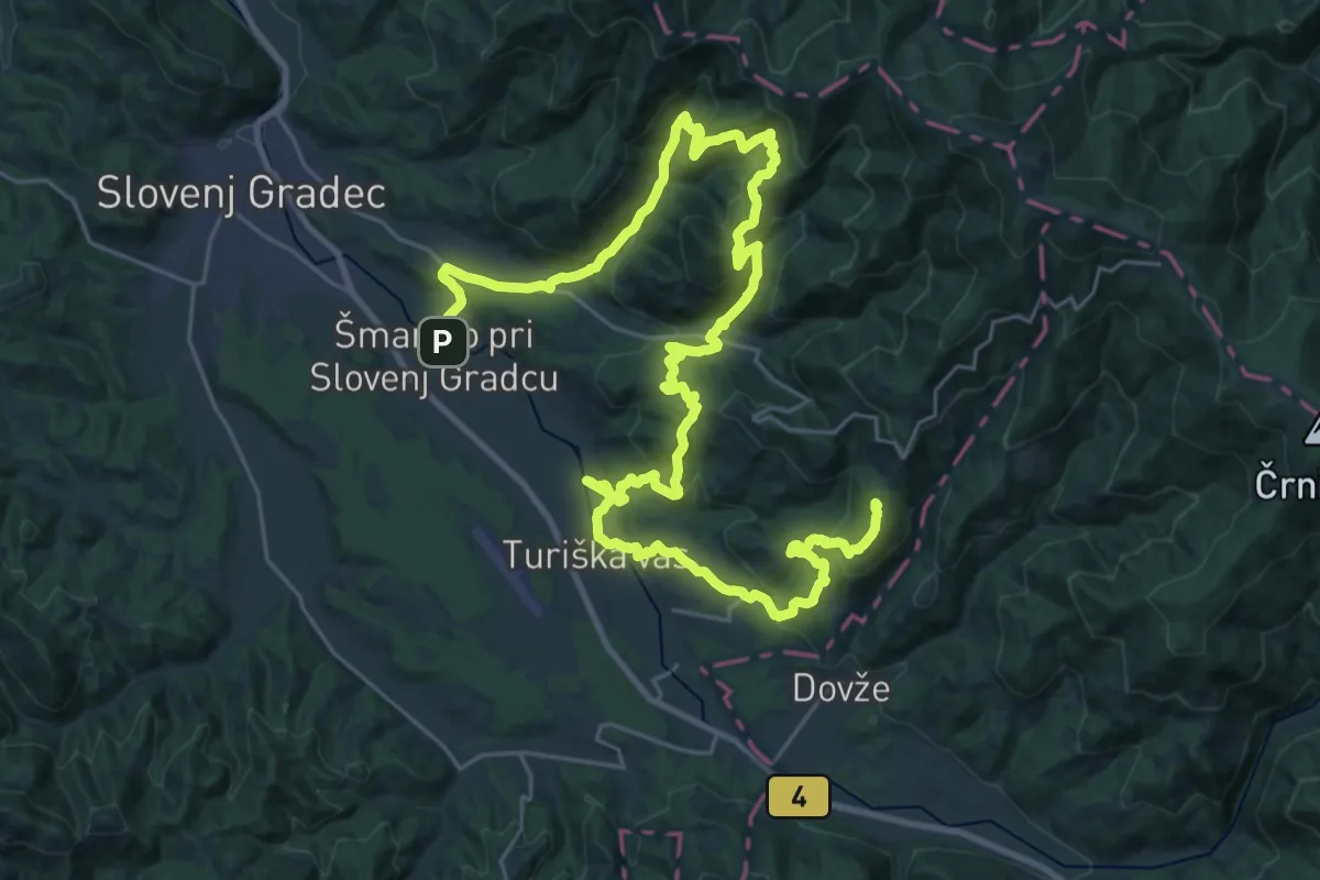
Demanding · Summit
Šmarška farna pot
41.4 km · ↑ 2043 m · 14 h 12 min · 12 km away
Demanding · Trail
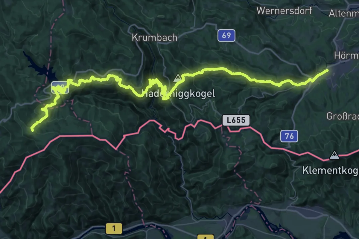
Mariazellerweg 506
28.5 km · ↑ 804 m · 9 h 23 min · 13 km away
Demanding · Trail
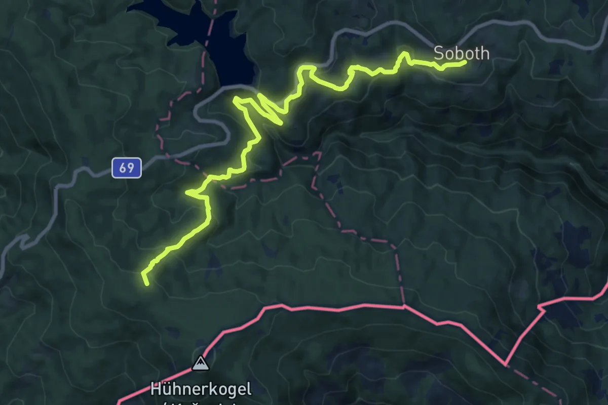
Südalpenweg 03A
18.5 km · ↑ 868 m · 6 h 16 min · 13 km away
Demanding · Trail
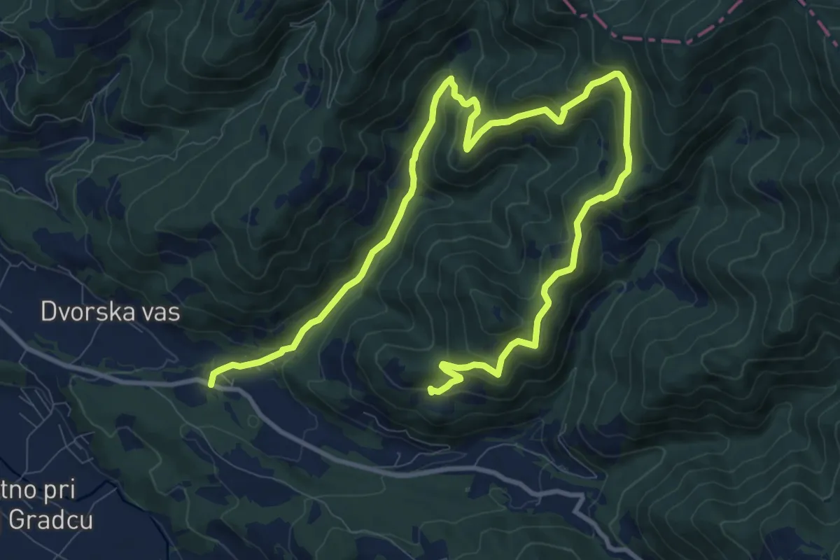
Bernekerjeva pot
14.9 km · ↑ 933 m · 5 h 33 min · 13 km away
Medium · Summit
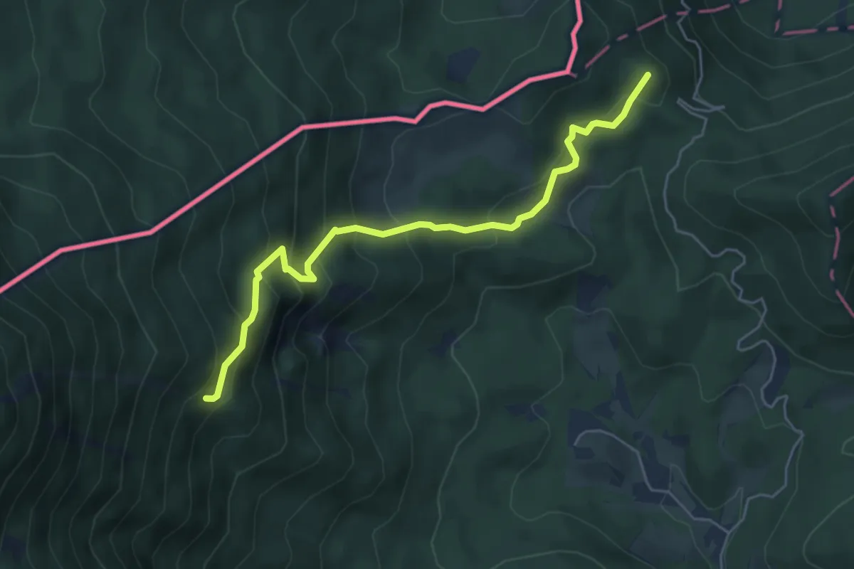
Štenge-Ninotova koča
5.3 km · ↑ 439 m · 2 h 12 min · 13 km away
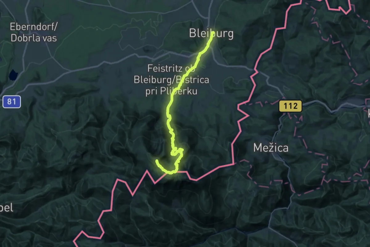
Demanding · Summit
Panoramaweg Südalpen 13
31.7 km · ↑ 1889 m · 11 h 35 min · 13 km away
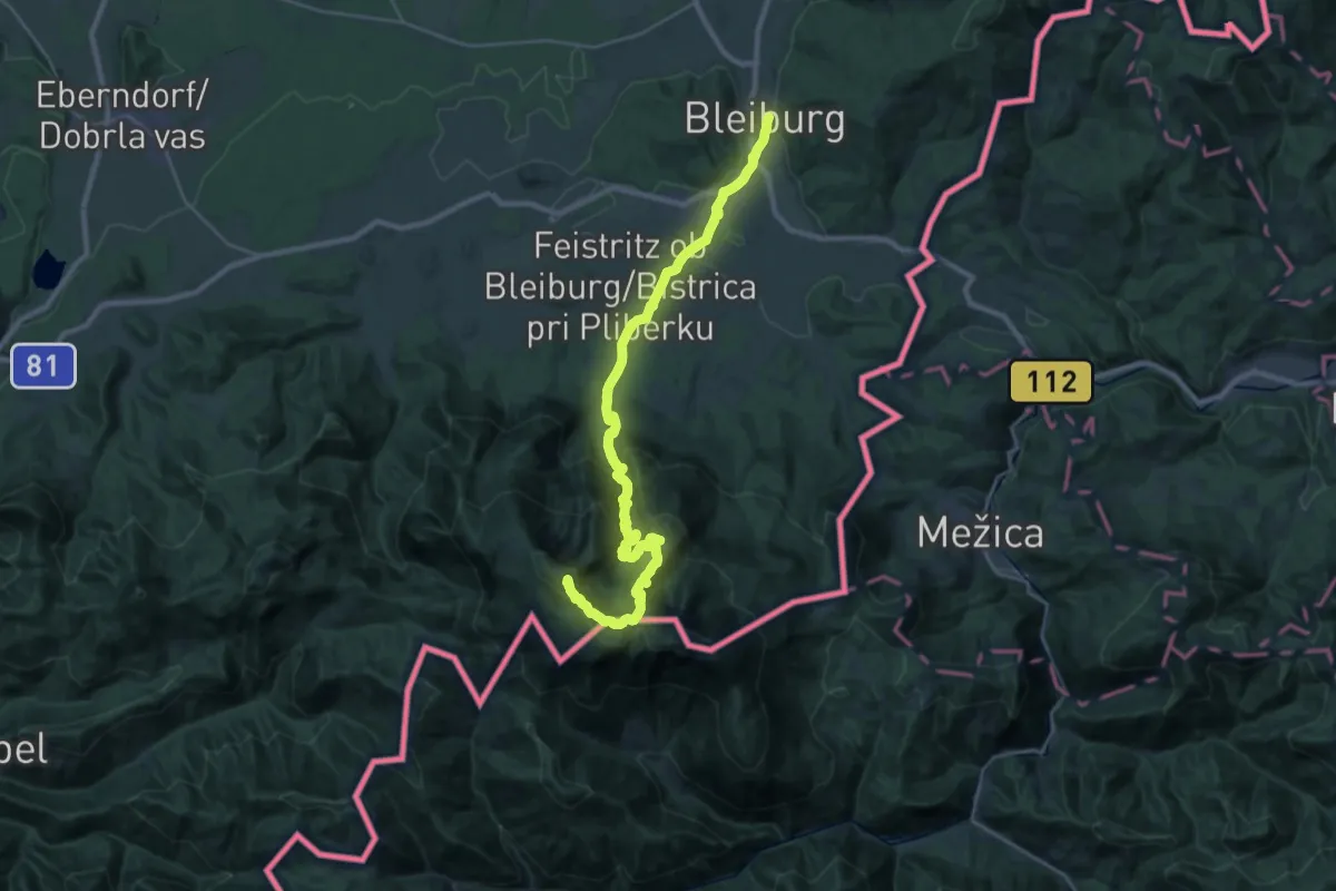
Demanding · Summit
Via Alpina Purple A12
31.6 km · ↑ 1908 m · 11 h 36 min · 13 km away
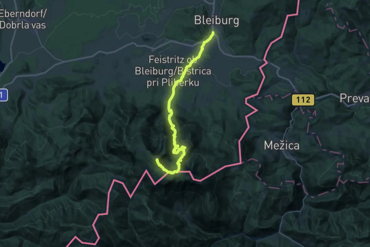
Demanding · Summit
Südalpenweg 03 - Etappe 8
29.8 km · ↑ 1886 m · 11 h 8 min · 13 km away
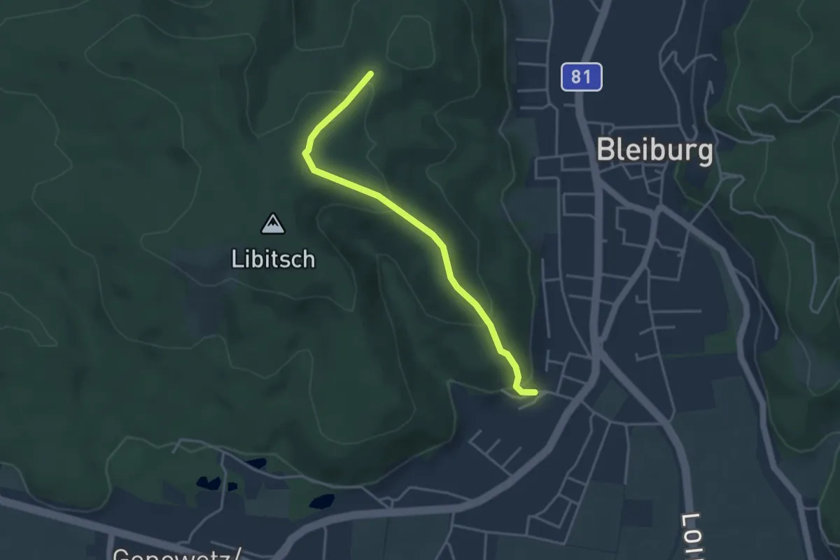
Easy · Trail
Nauerschnigweg
3.6 km · ↑ 162 m · 1 h 12 min · 14 km away
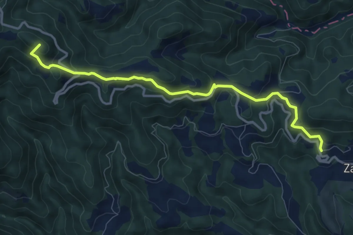
Medium · Summit
Zavodnje - Sleme
8.5 km · ↑ 454 m · 3 h · 14 km away
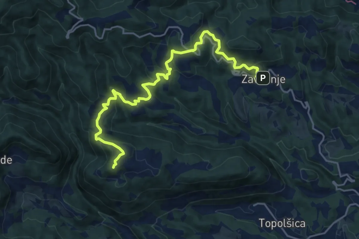
Medium · Summit
Zavodnje - Lomek
14.5 km · ↑ 679 m · 4 h 53 min · 14 km away
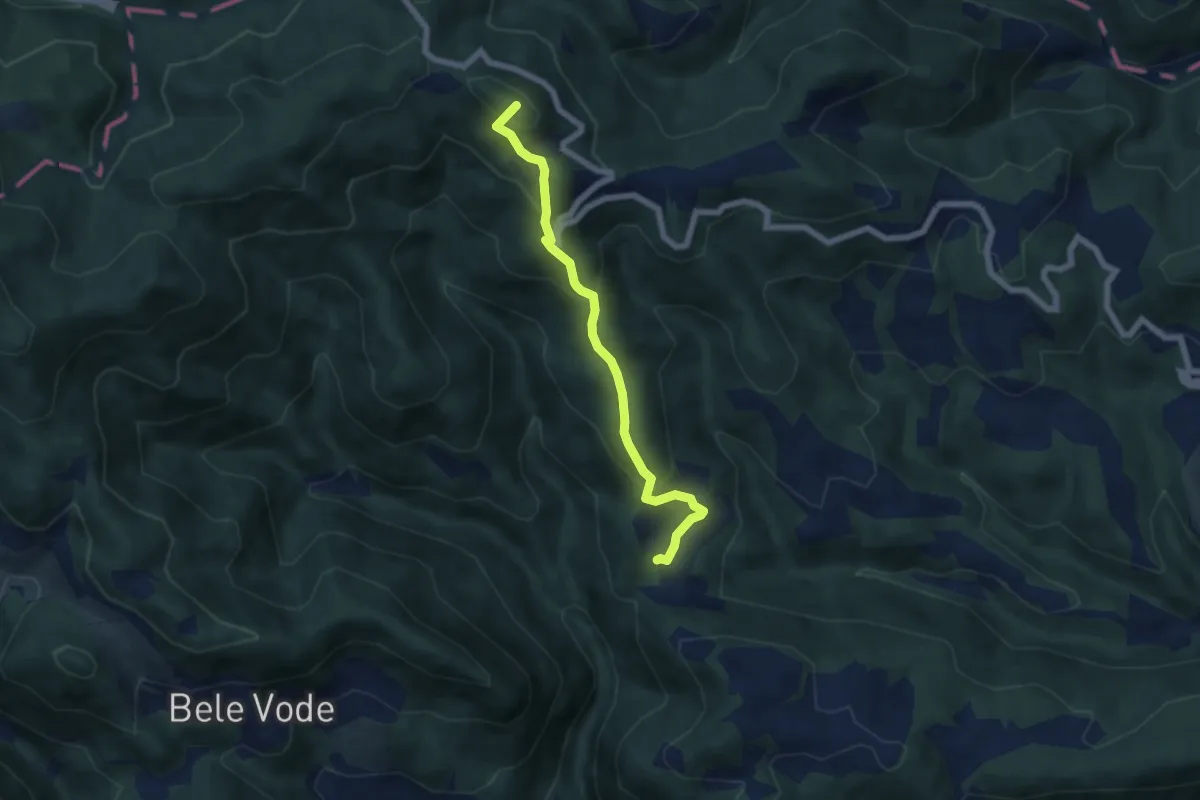
Medium · Summit
035 ~ Pot kurirjev in vezistov NOV Slovenije
5.7 km · ↑ 380 m · 2 h 11 min · 14 km away
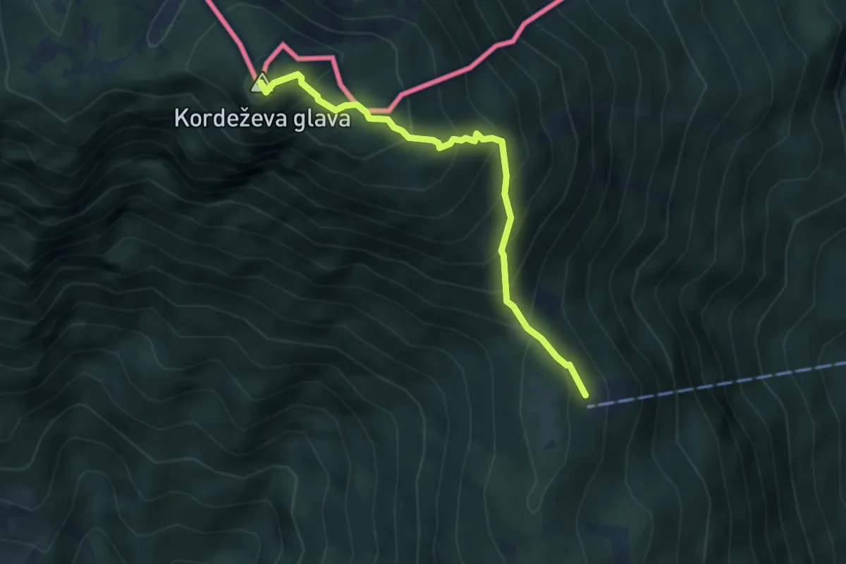
Medium · Summit
Planinski dom na Peci - Knepsovo sedlo
3.9 km · ↑ 469 m · 1 h 56 min · 14 km away
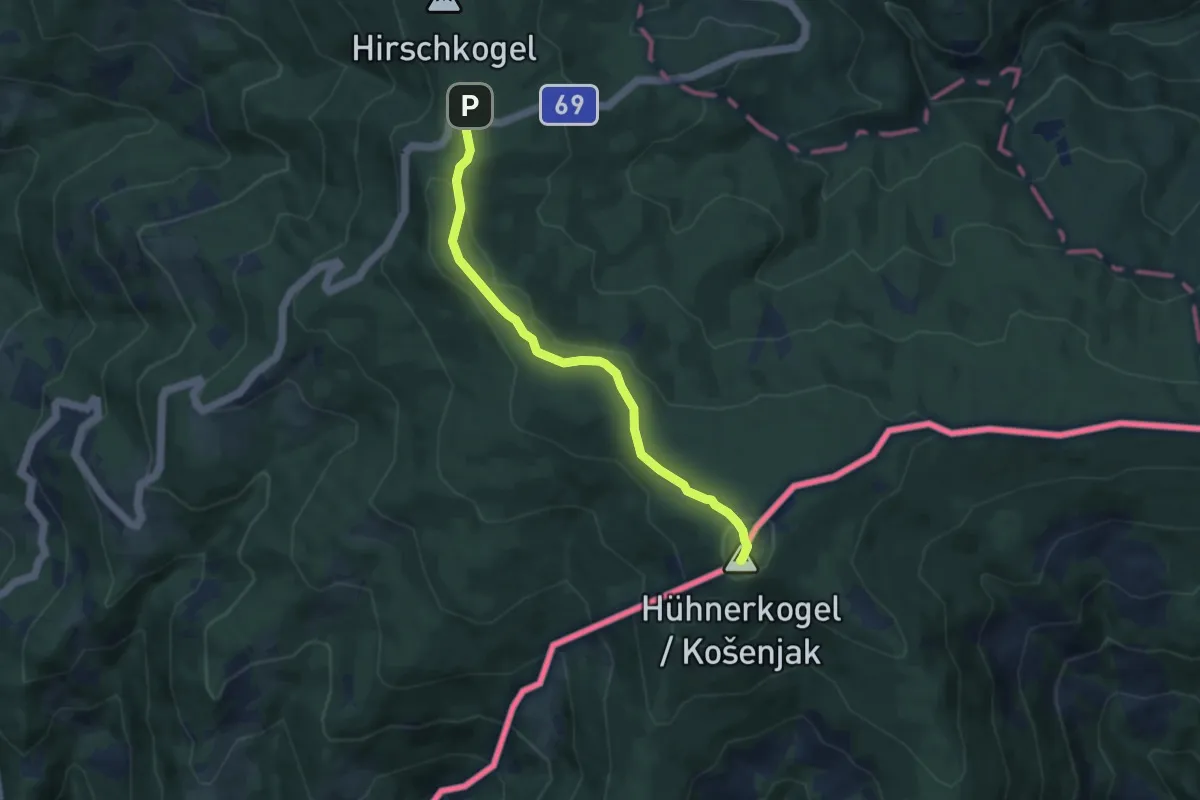
Medium · Summit
Wanderweg 594
7.0 km · ↑ 202 m · 2 h 6 min · 14 km away
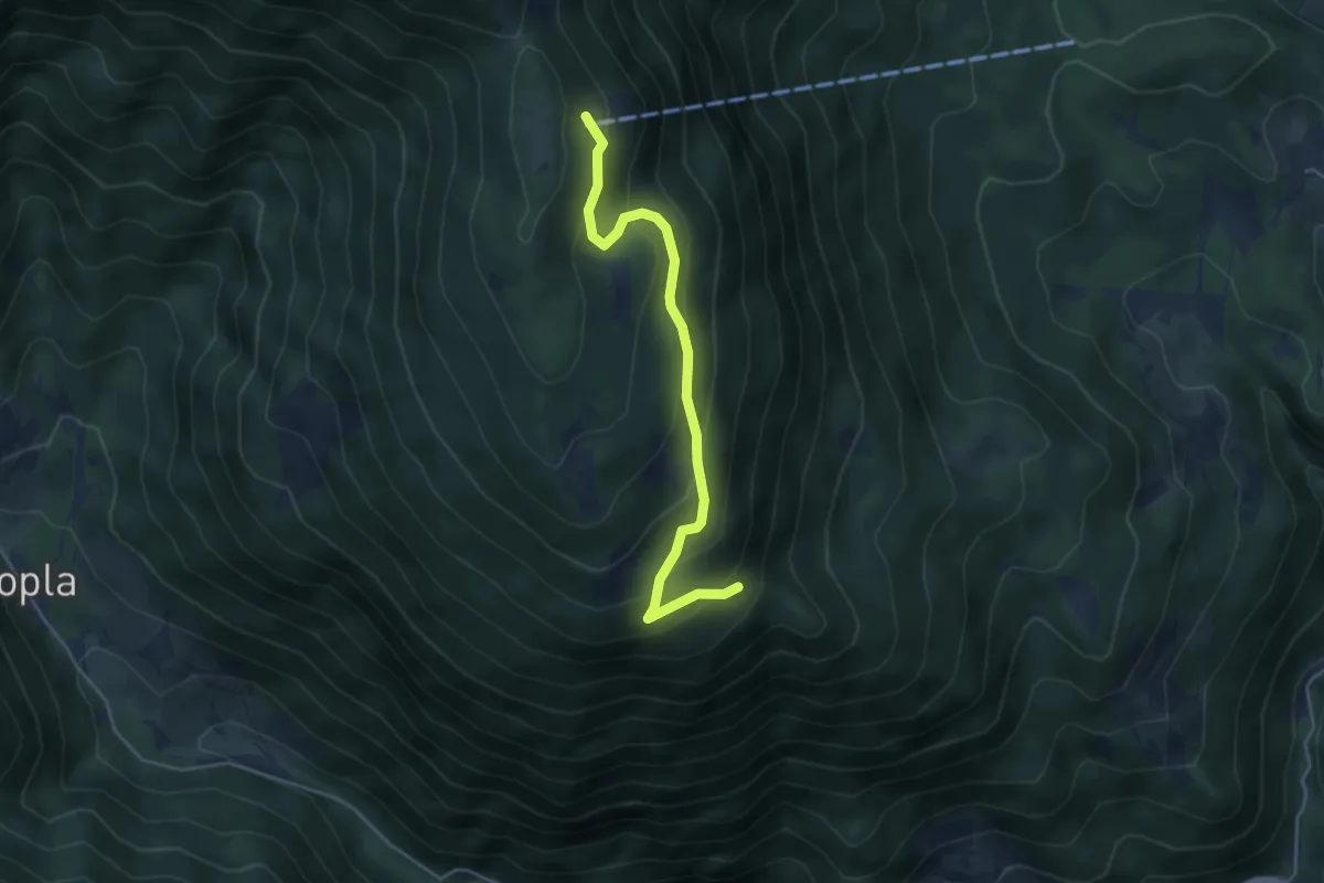
Medium · Cabin
parkirišče-Planinski dom na Peci
4.4 km · ↑ 302 m · 1 h 41 min · 14 km away
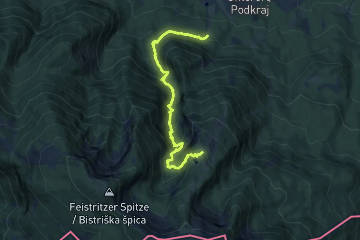
Demanding · Trail
Krischasteig
10.6 km · ↑ 989 m · 4 h 39 min · 15 km away
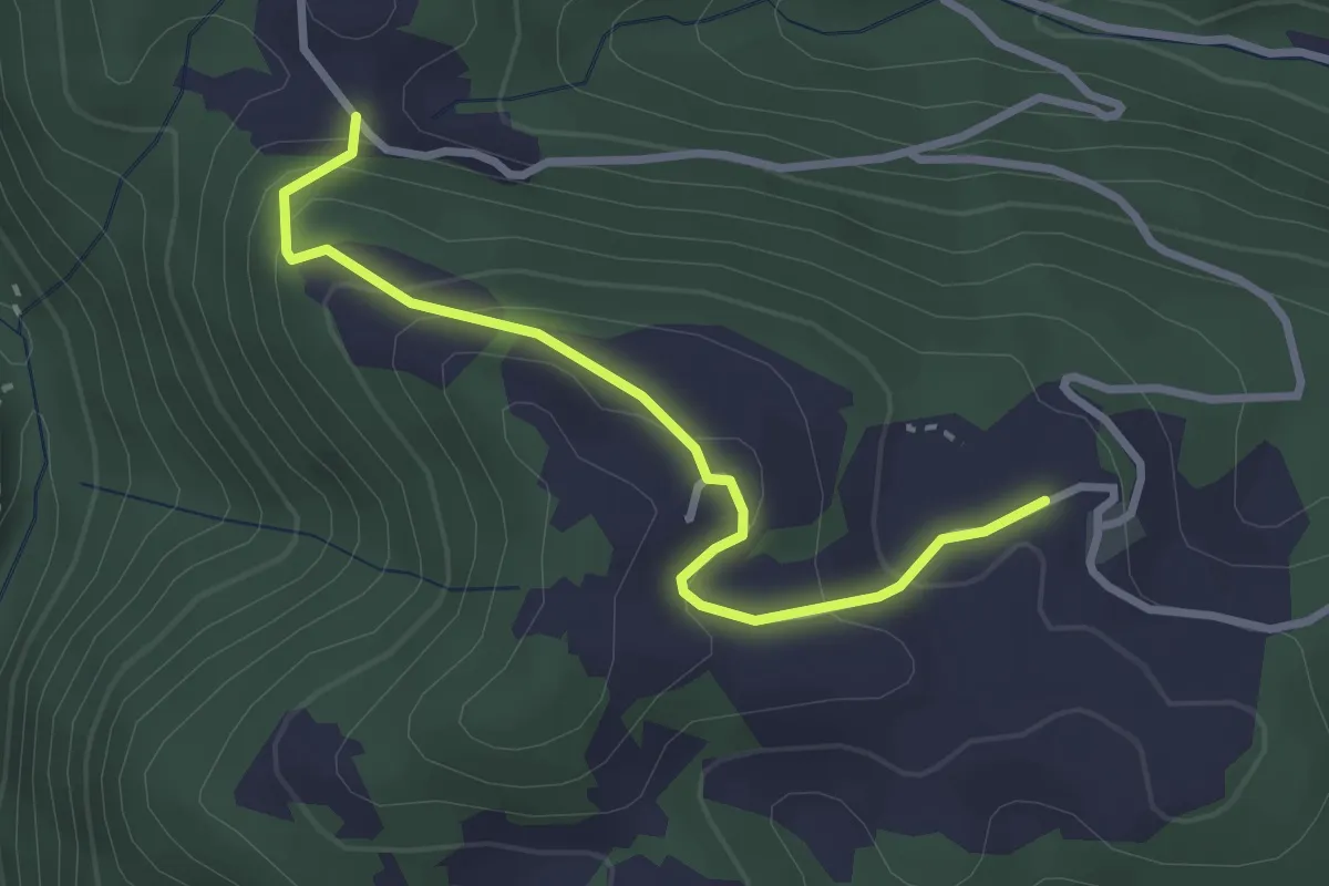
Easy · Trail
vrh Loma
2.9 km · ↑ 169 m · 1 h 3 min · 15 km away
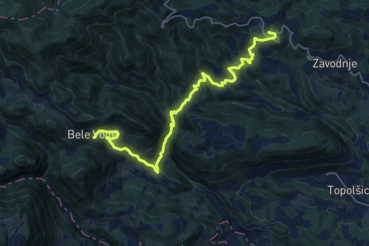
Demanding · Summit
Sedlar - Savinek
16.2 km · ↑ 845 m · 5 h 40 min · 15 km away
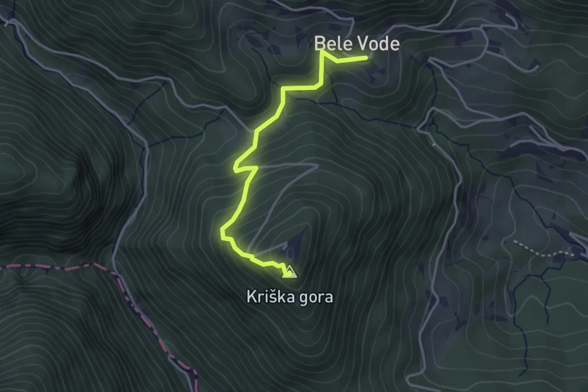
Easy · Summit
Bele Vode - Kriška gora
3.3 km · ↑ 272 m · 1 h 22 min · 15 km away
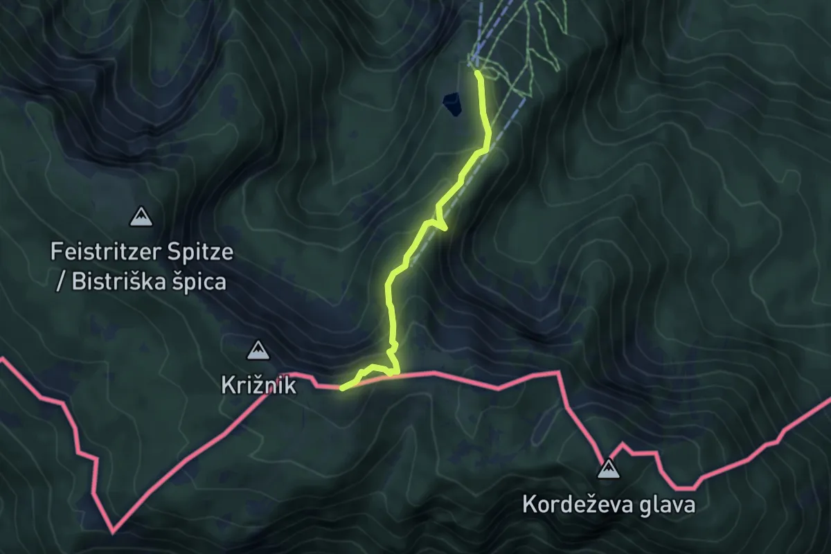
Medium · Summit
Kniepssteig
4.3 km · ↑ 400 m · 1 h 52 min · 15 km away
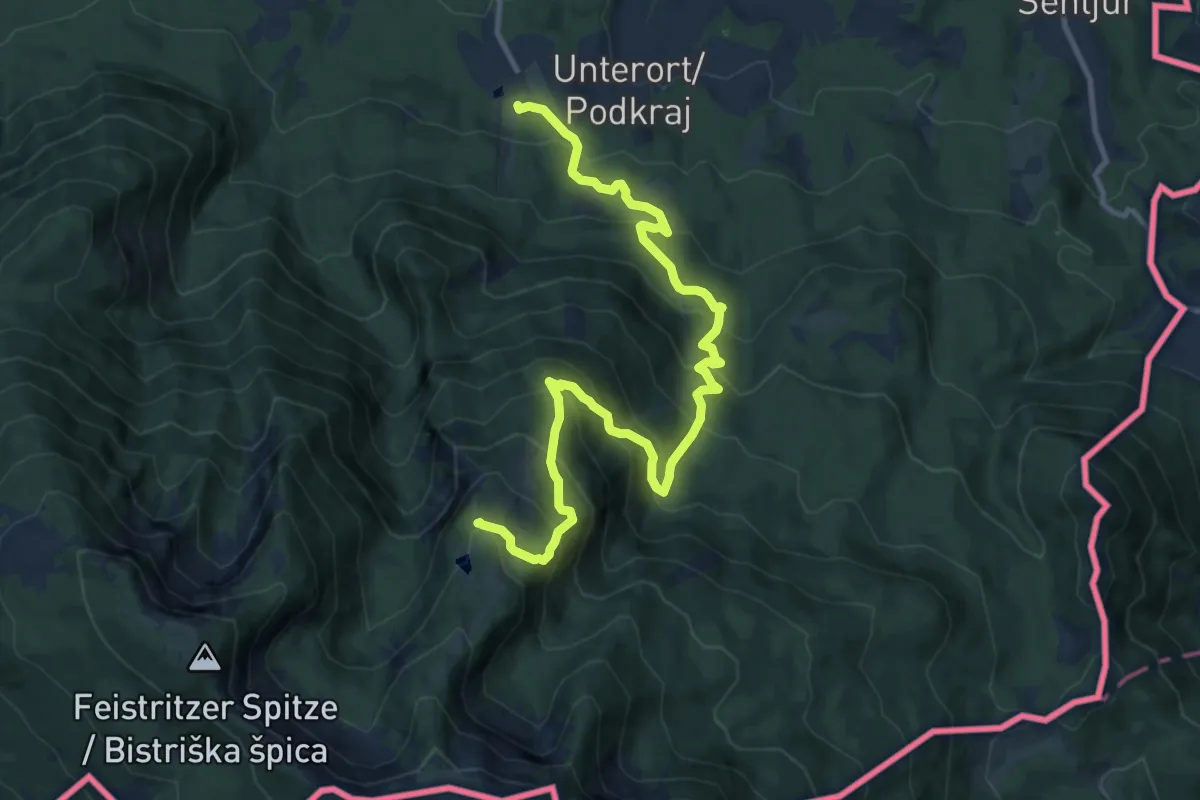
Demanding · Trail
Wandervogel
13.2 km · ↑ 1061 m · 5 h 25 min · 15 km away