Trails near Ruše
83 hikes starting within 15 km, nearest first.
Nearest first, page 2 of 2
Medium · Cabin
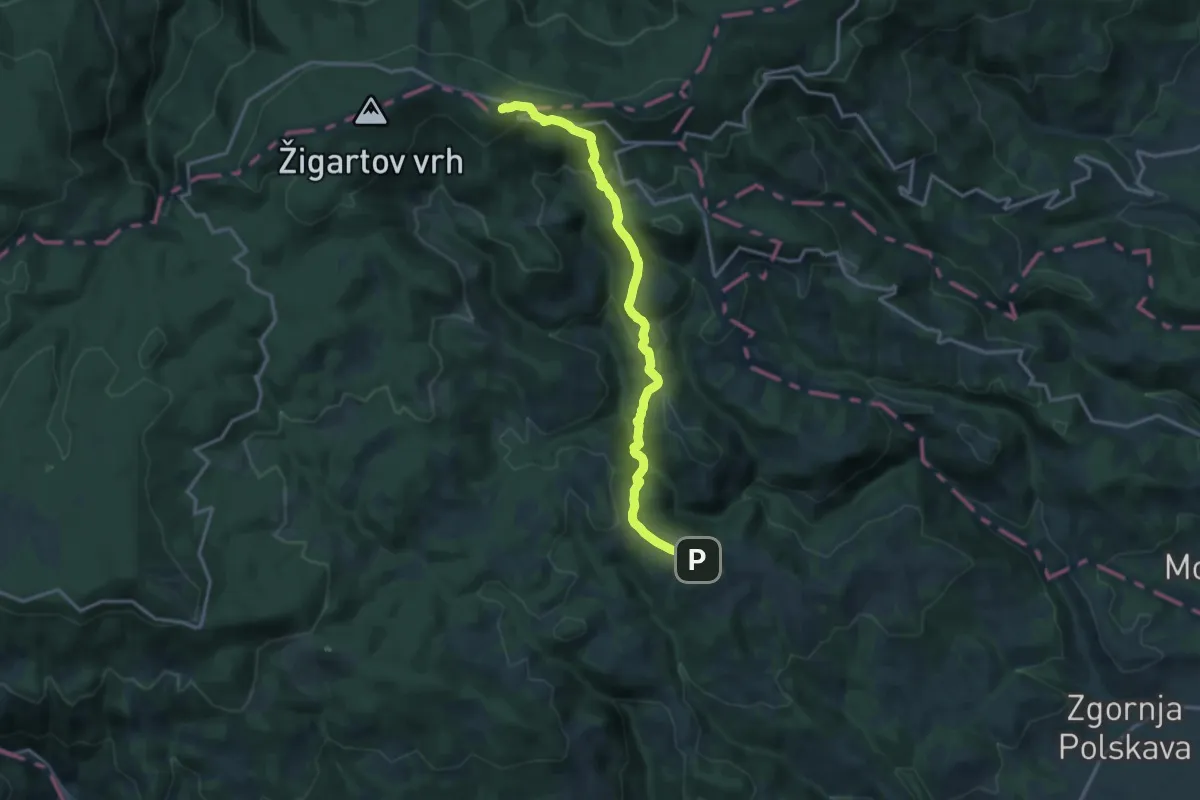
Šmartno - Ruška koča
15.5 km · ↑ 697 m · 5 h 10 min · 11 km away
Medium · Trail
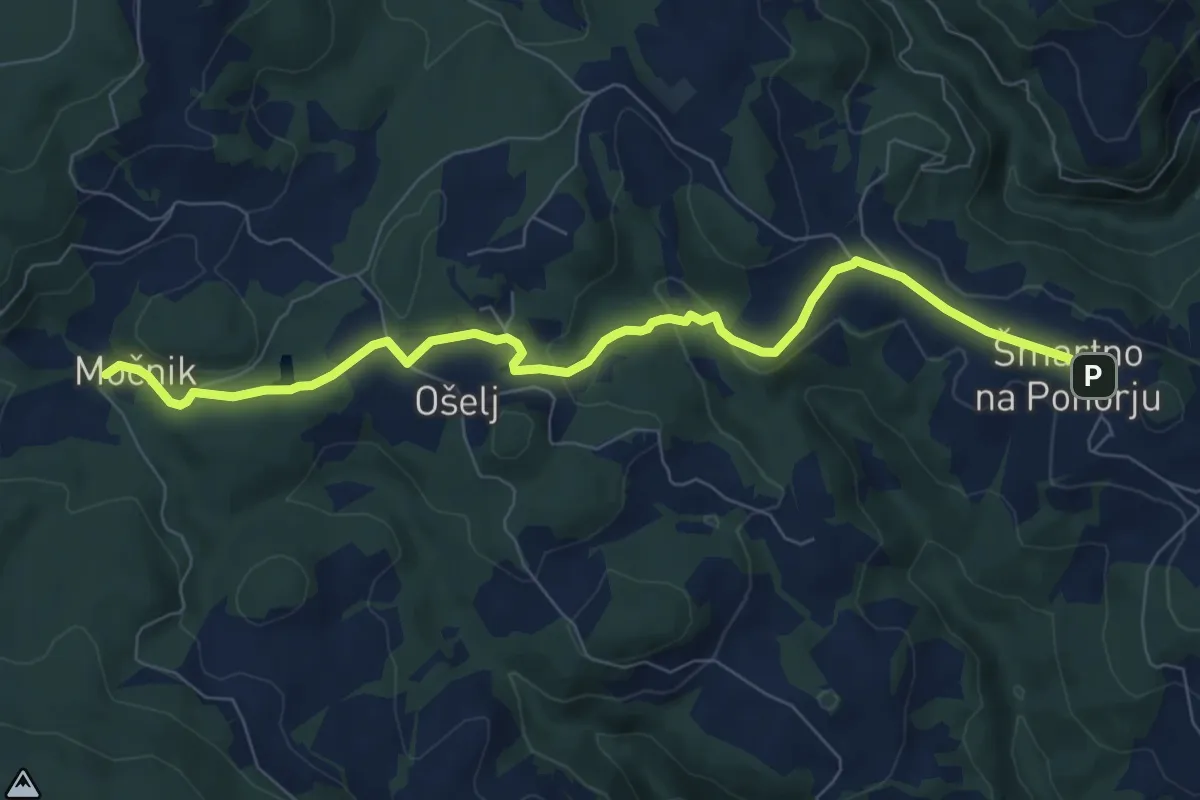
Šmartno - Močnik
8.3 km · ↑ 228 m · 2 h 27 min · 11 km away
Medium · Cabin
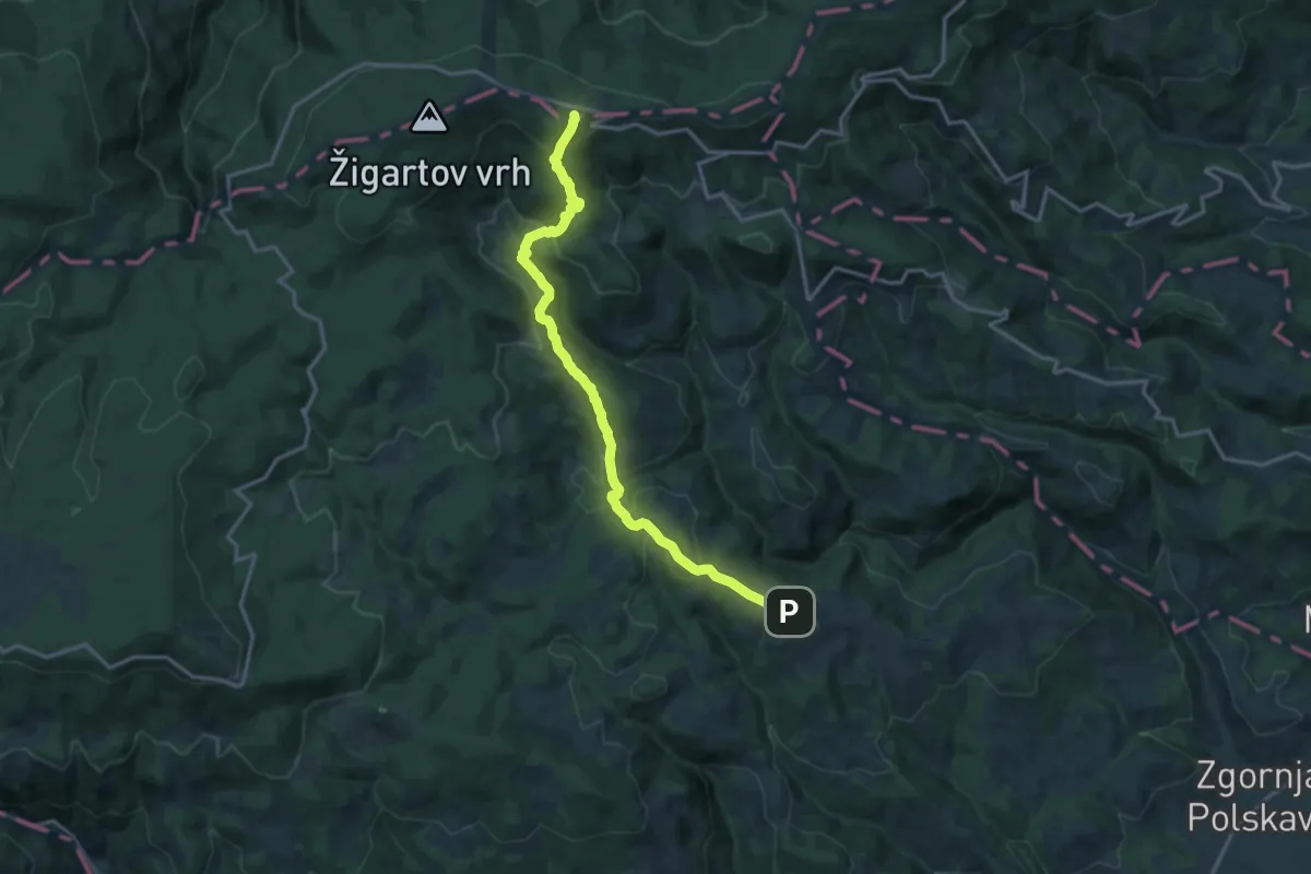
Šmartno - Bojtina - Ruška koča
16.3 km · ↑ 706 m · 5 h 23 min · 11 km away
Medium · Trail
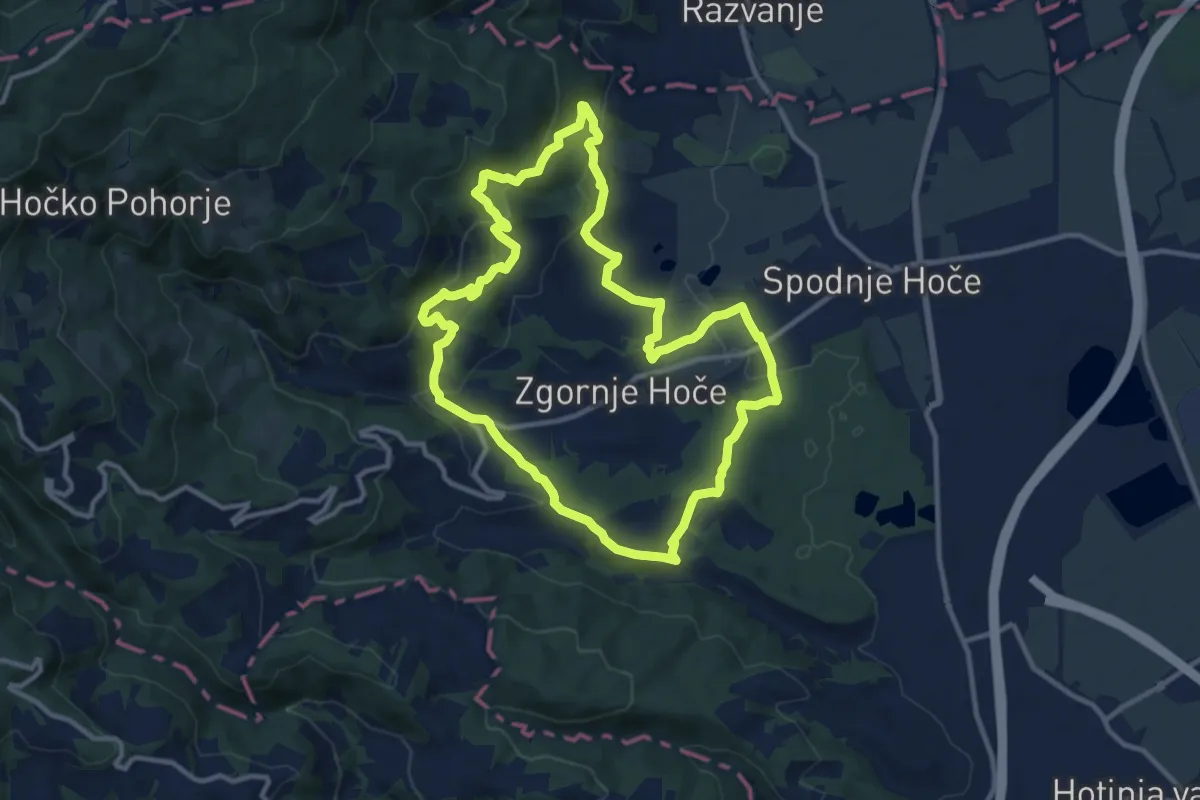
Kotnikova pešpot
11.2 km · ↑ 408 m · 3 h 41 min · 11 km away
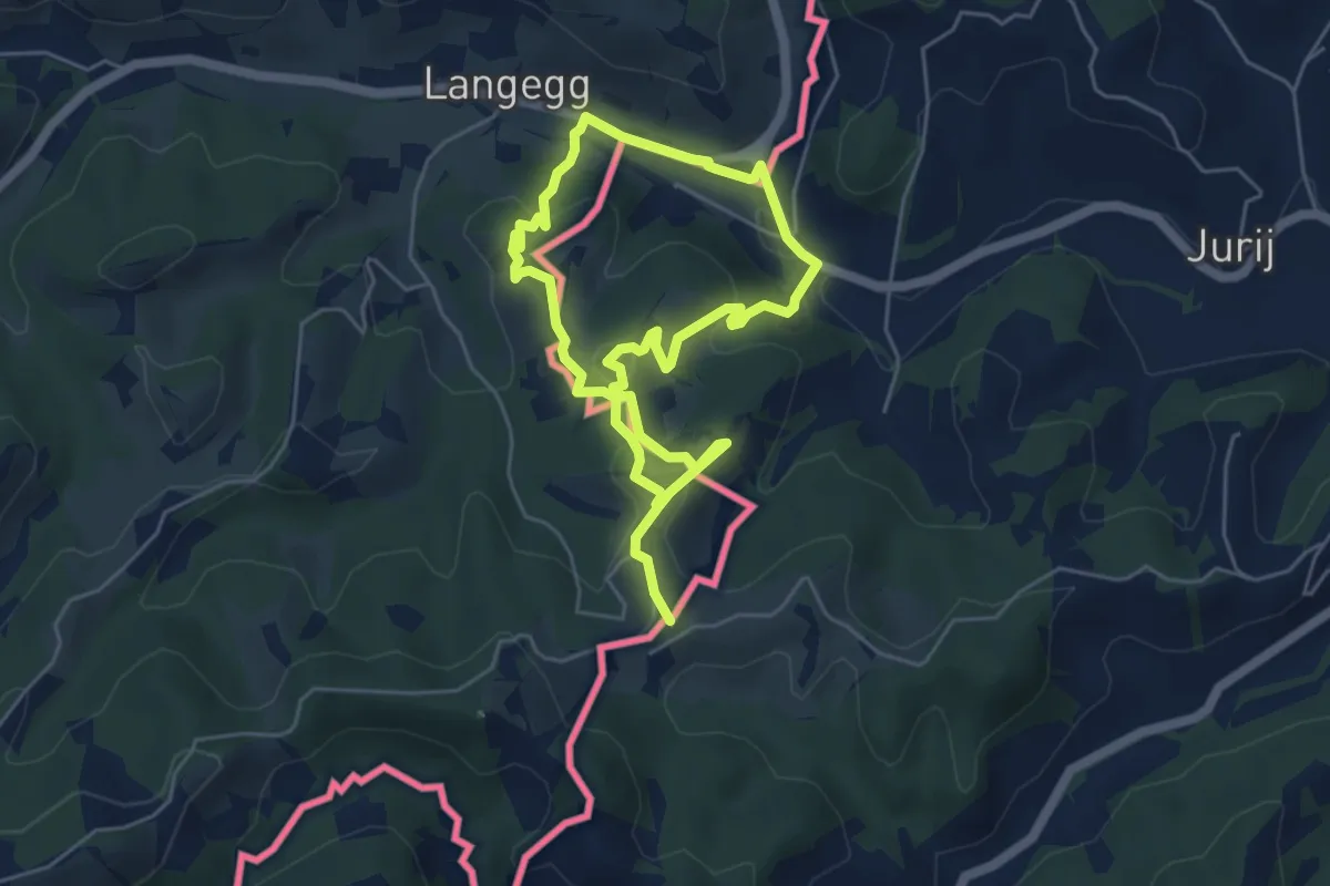
Easy · Trail
Grenzlandgalerie
4.3 km · ↑ 152 m · 1 h 25 min · 11 km away
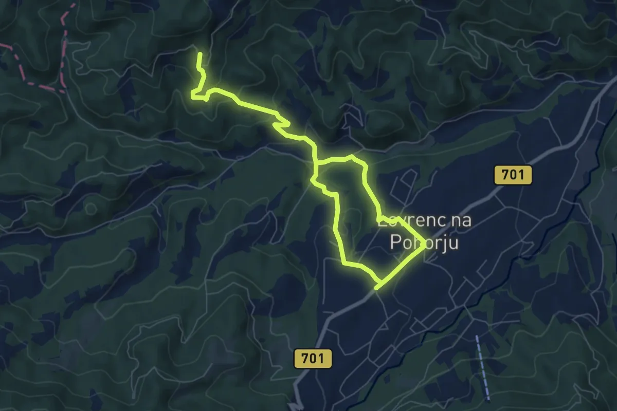
Medium · Trail
Lovrenc na Pohorju - Klančnik
9.5 km · ↑ 378 m · 3 h 4 min · 11 km away
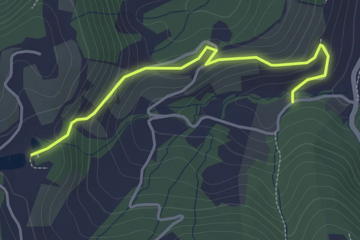
Easy · Trail
Kleeblattwanderweg Variante - Oberguess - Weingut Albrecher
3.0 km · ↑ 142 m · 1 h · 12 km away
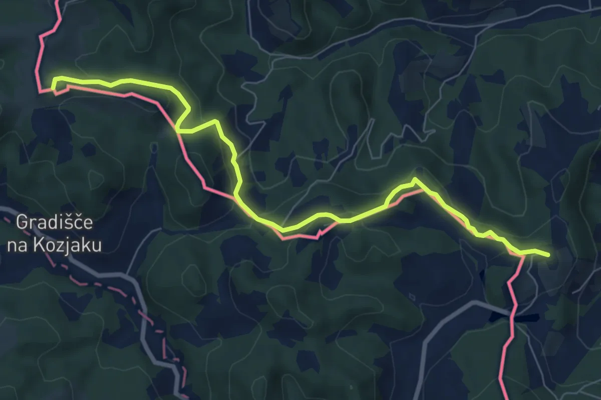
Easy · Trail
Urkräuterweg am Remschnig
7.6 km · ↑ 307 m · 2 h 27 min · 12 km away
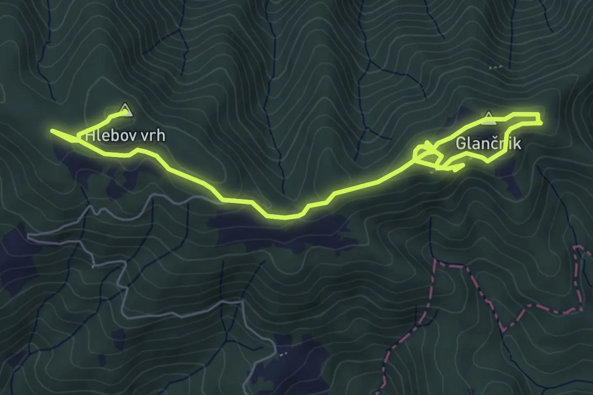
Medium · Summit
Učna pot Rdeči breg
7.8 km · ↑ 260 m · 2 h 24 min · 12 km away
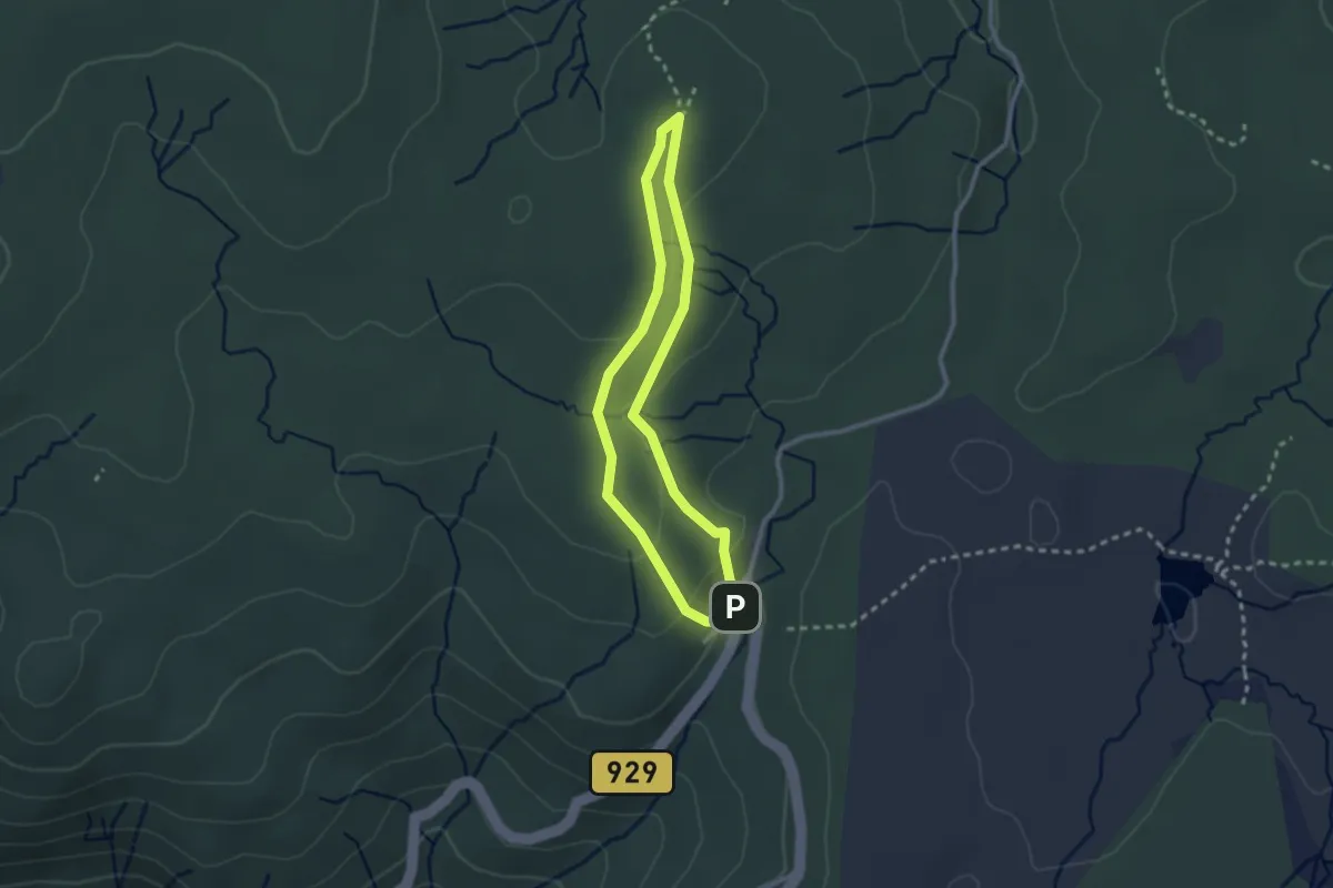
Easy · Cabin
Krožna pot na bojišče Pohorskega bataljona
2.2 km · ↑ 62 m · 41 min · 12 km away
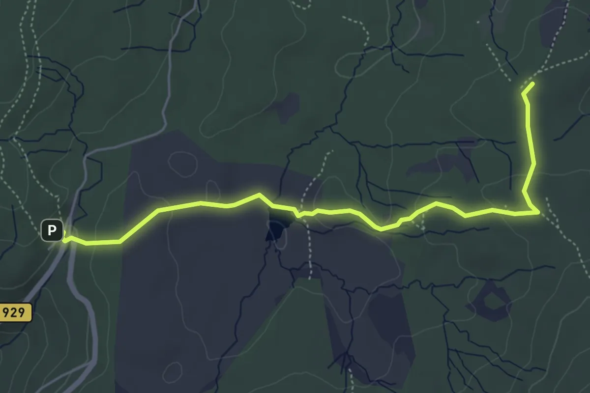
Easy · Summit
015 ~ Pot kurirjev in vezistov NOV Slovenije
5.7 km · ↑ 142 m · 1 h 39 min · 12 km away
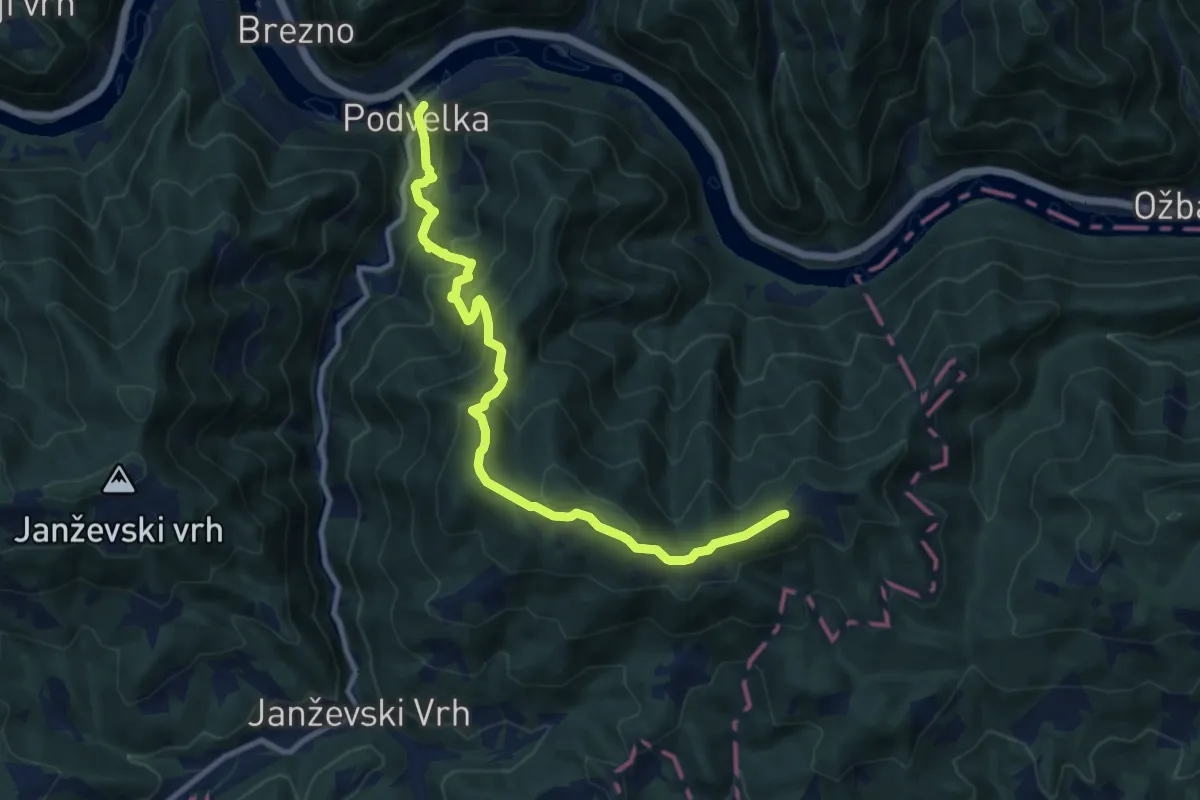
Medium · Trail
Podvelka - Klančnik
10.8 km · ↑ 781 m · 4 h 15 min · 12 km away
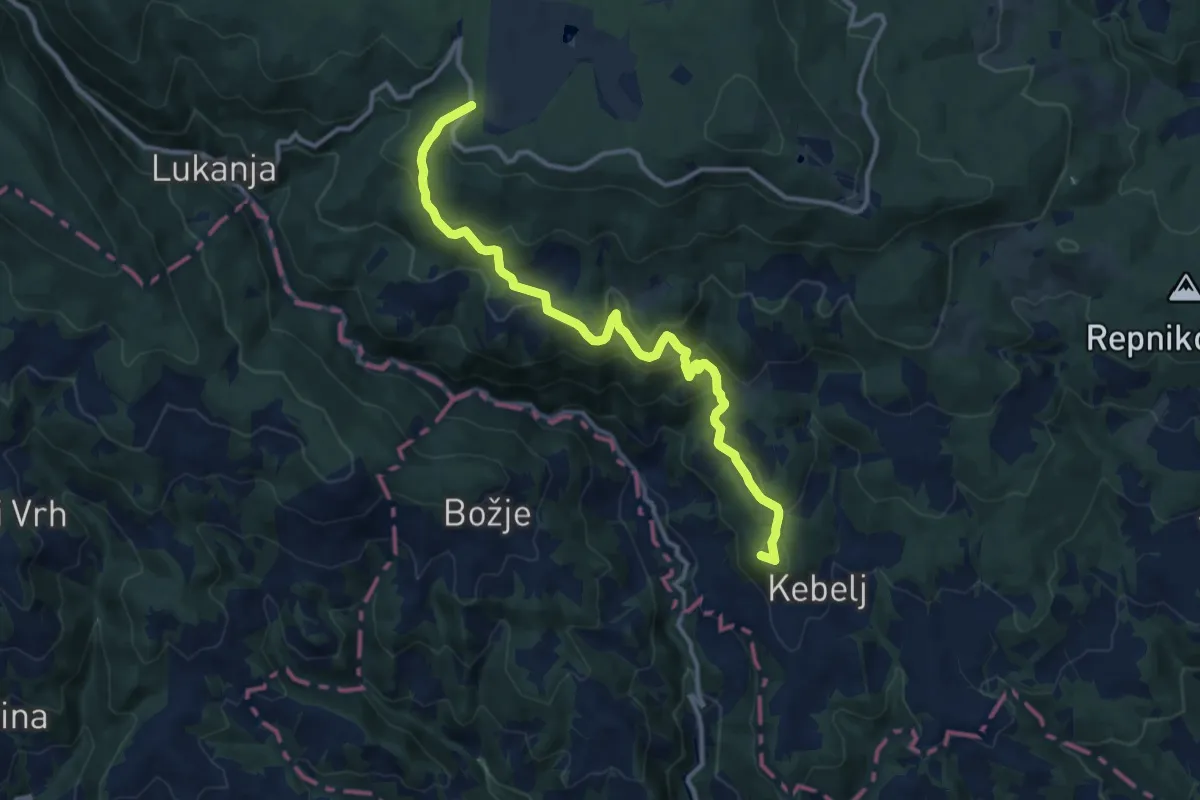
Medium · Summit
Kebeljska transverzala
12.6 km · ↑ 669 m · 4 h 25 min · 13 km away
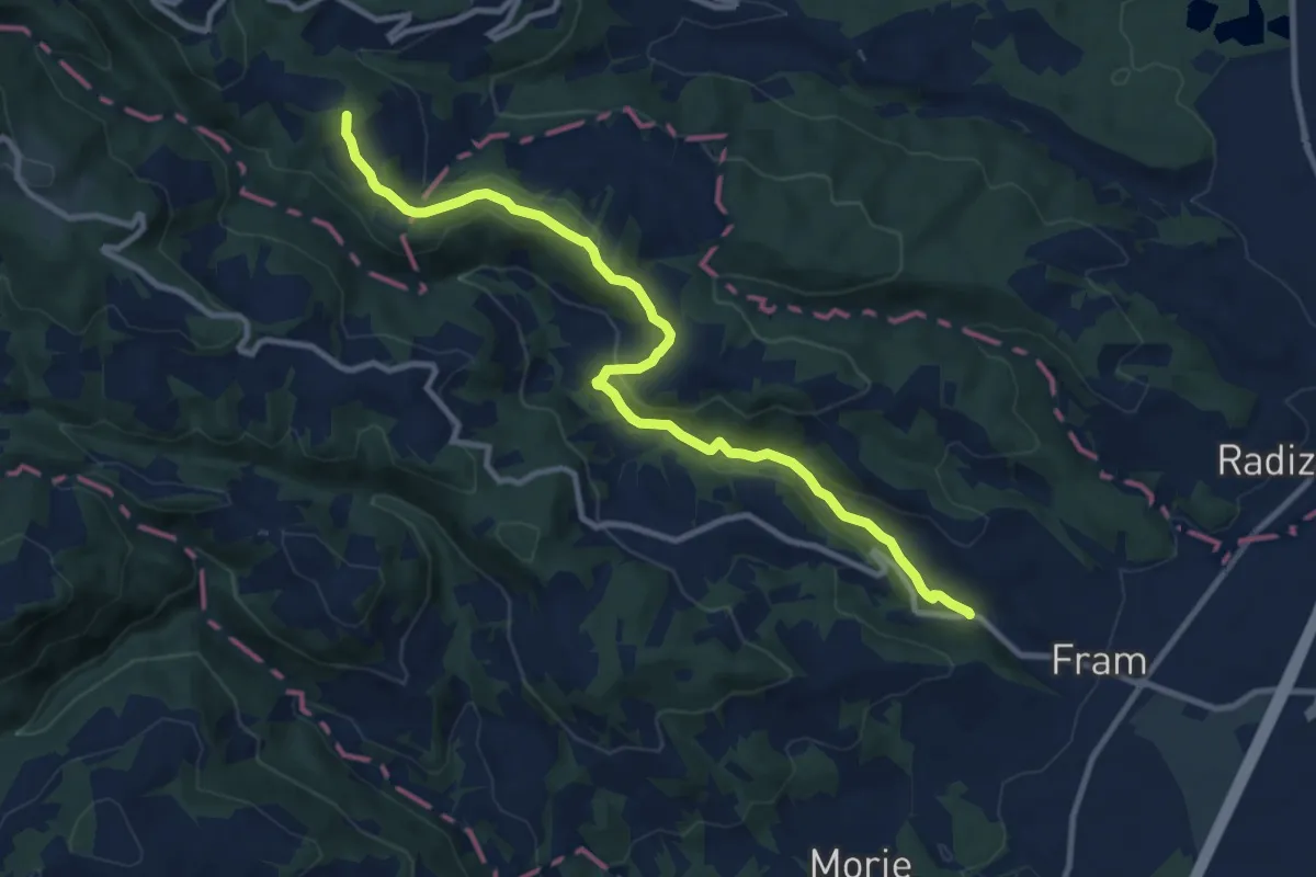
Medium · Summit
Fram - Mariborska koča
11.0 km · ↑ 375 m · 3 h 24 min · 13 km away
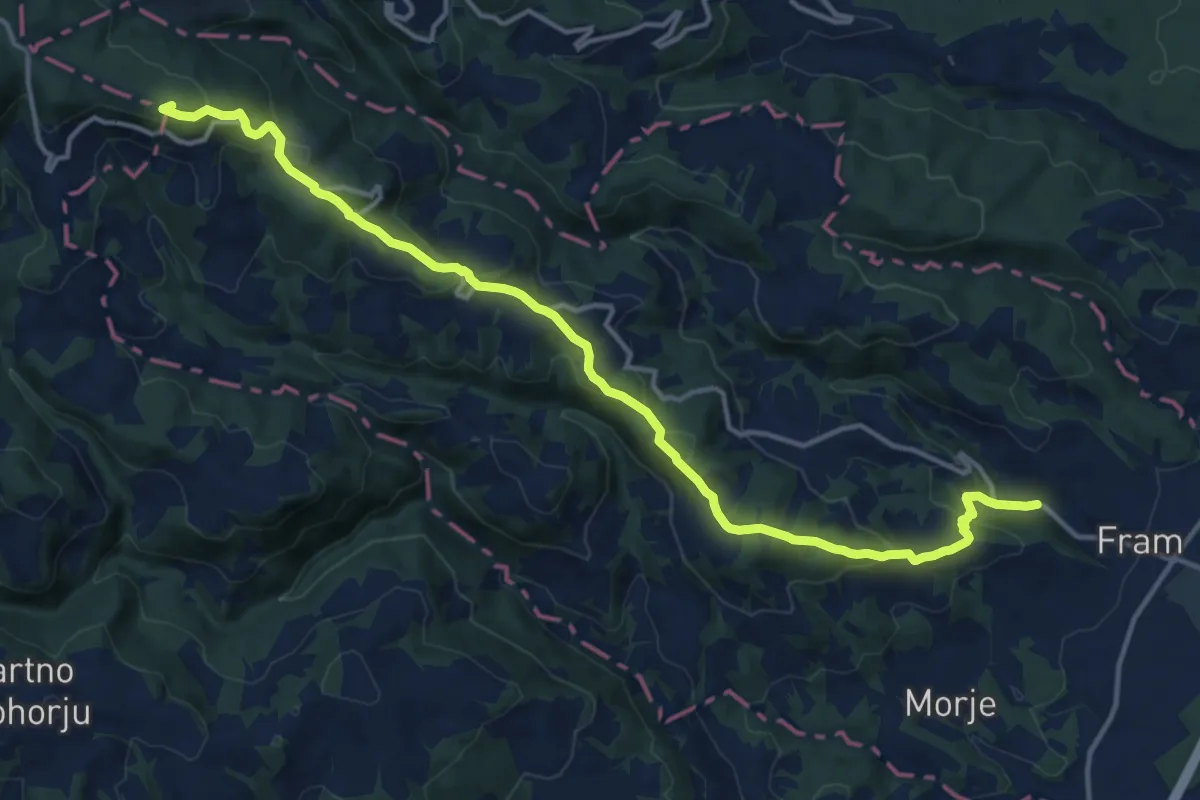
Medium · Summit
Fram - Areh
16.0 km · ↑ 656 m · 5 h 11 min · 13 km away
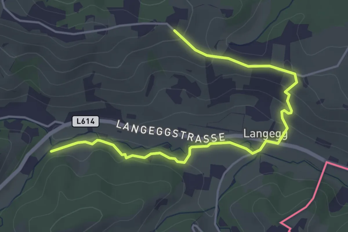
Easy · Trail
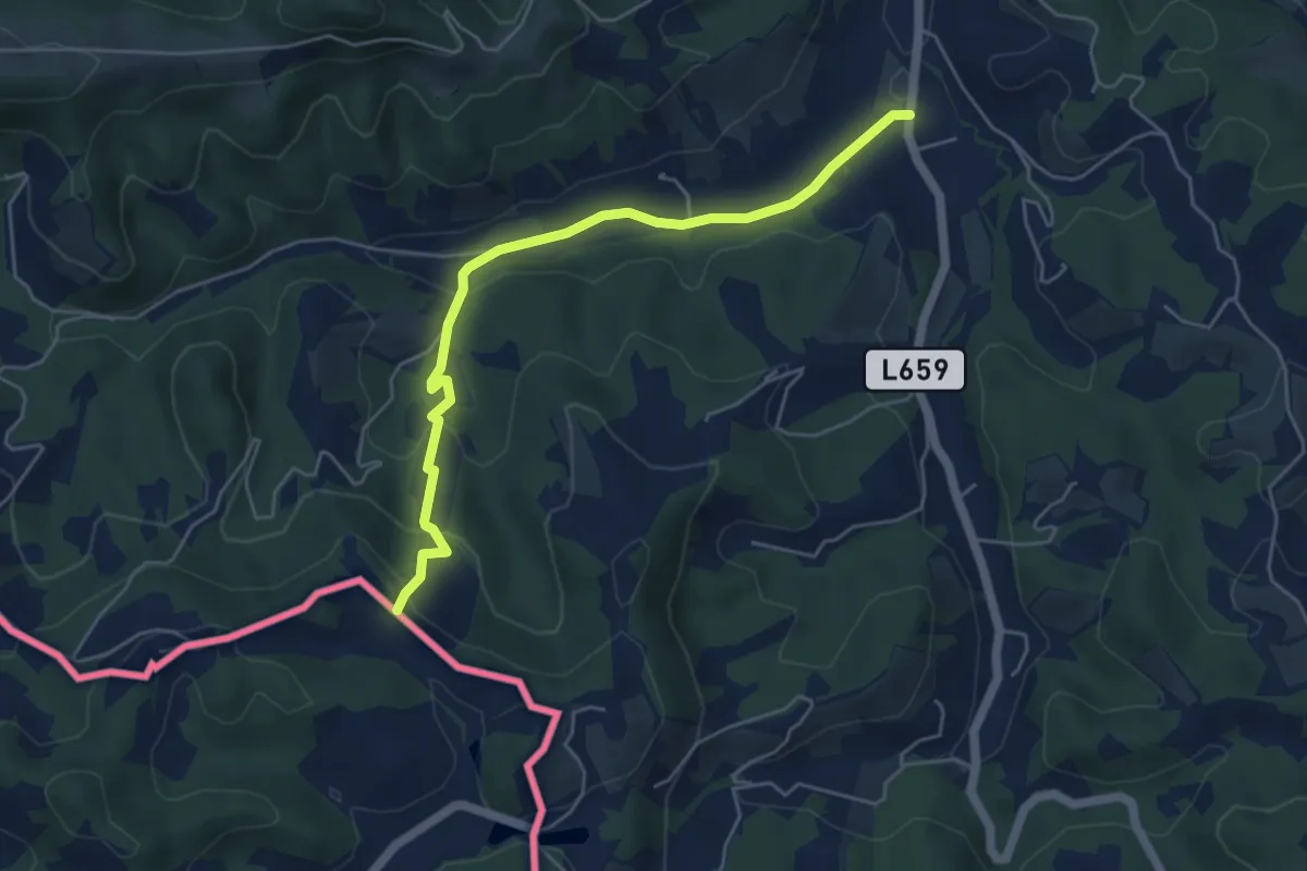
Glanzer Hoftour (Variante 2 - Langvariante)
4.8 km · ↑ 155 m · 1 h 28 min · 13 km away
Easy · Trail
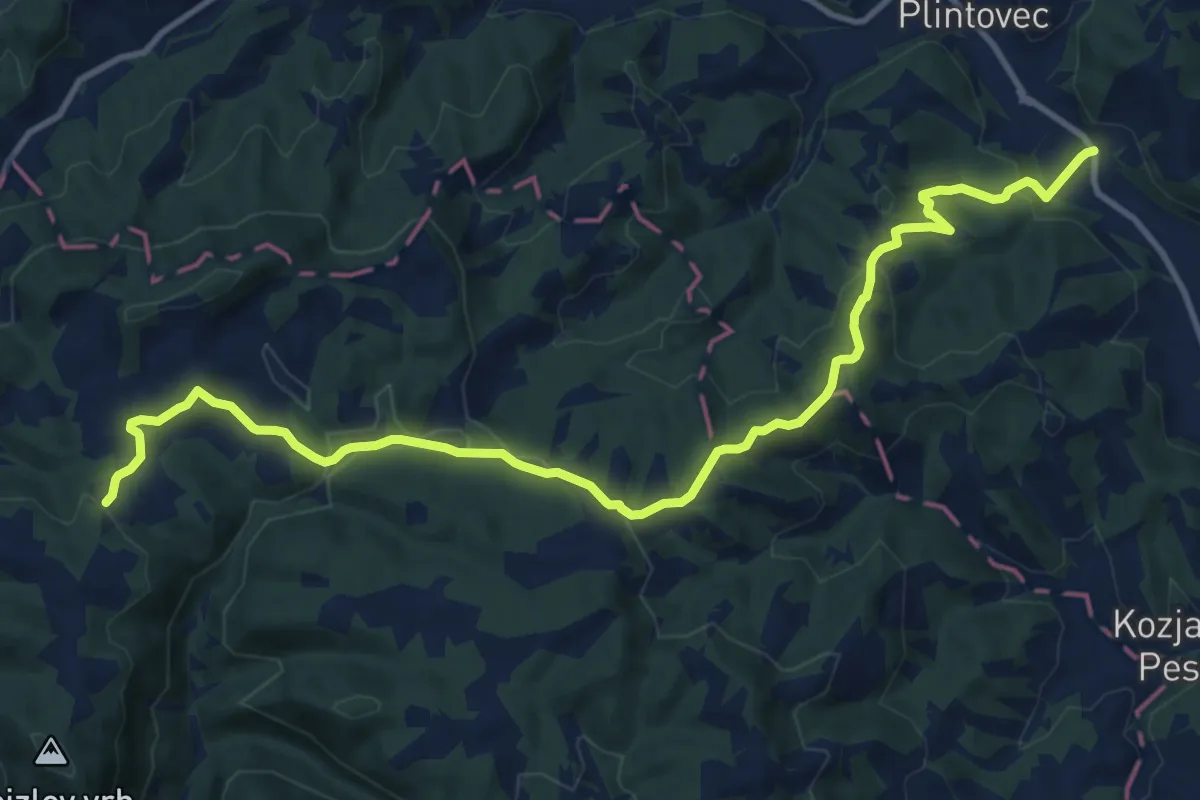
Kleeblattwanderweg Nr. 1 Variante Obermuhri->P3
5.2 km · ↑ 204 m · 1 h 40 min · 13 km away
Medium · Trail
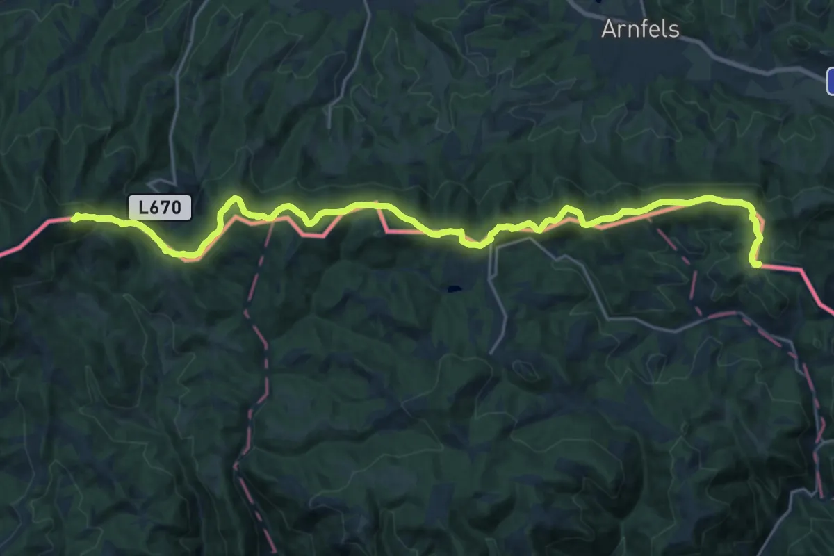
Kungota - Gaj nad Mariborom
13.9 km · ↑ 431 m · 4 h 13 min · 13 km away
Demanding · Summit
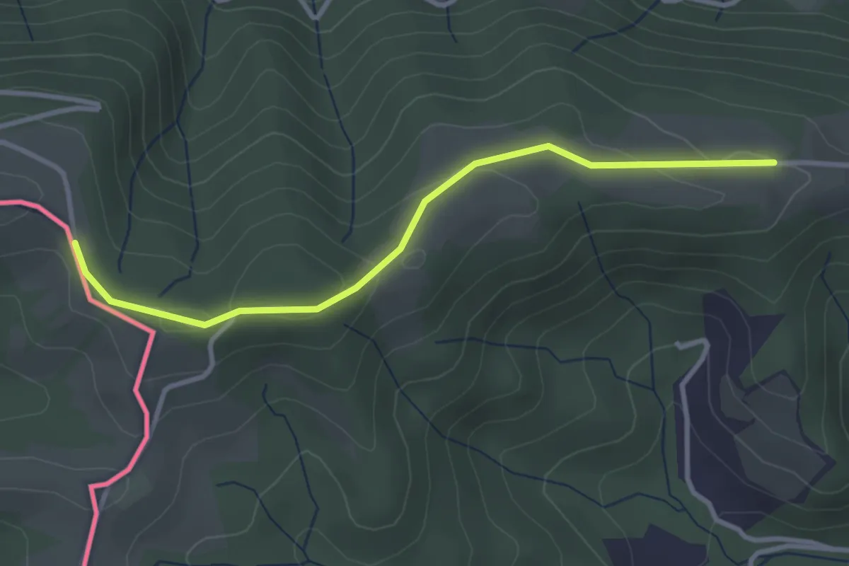
Vom Gletscher zum Wein (Südroute) Etappe 21
24.5 km · ↑ 828 m · 7 h 35 min · 14 km away
Easy · Trail
Südalpenweg 03A
3.1 km · ↑ 88 m · 56 min · 14 km away
Demanding · Trail
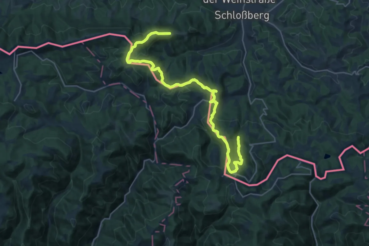
Kleeblattwanderweg Nr. 1
21.5 km · ↑ 930 m · 7 h 6 min · 14 km away
Demanding · Summit
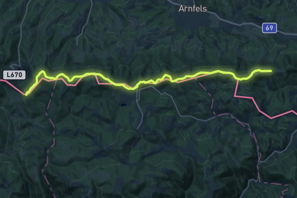
Südsteirischer Höhenweg 560
22.0 km · ↑ 624 m · 6 h 32 min · 14 km away
Easy · Summit
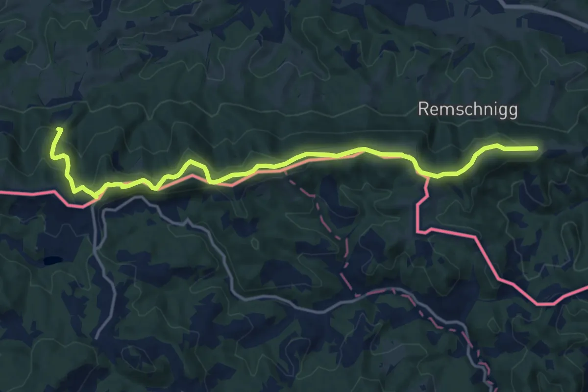
Arnfels R2
7.0 km · ↑ 218 m · 2 h 13 min · 14 km away
Medium · Summit
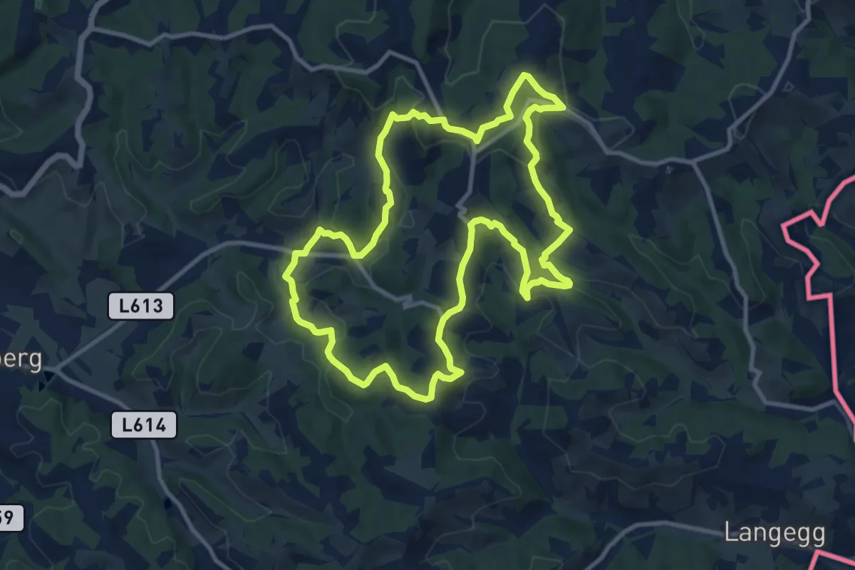
Glanzer Weintour
10.1 km · ↑ 431 m · 3 h 27 min · 14 km away
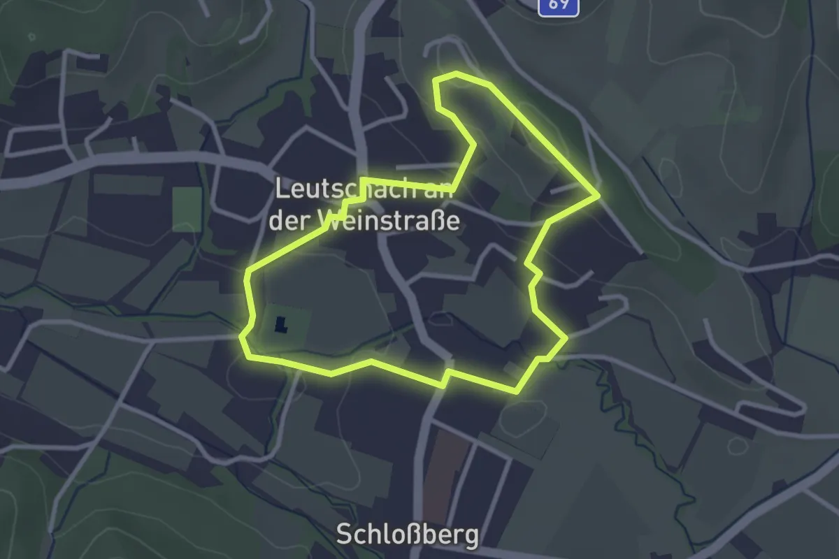
Easy · Trail
Leutschacher Rundwanderweg
2.7 km · ↑ 70 m · 49 min · 14 km away
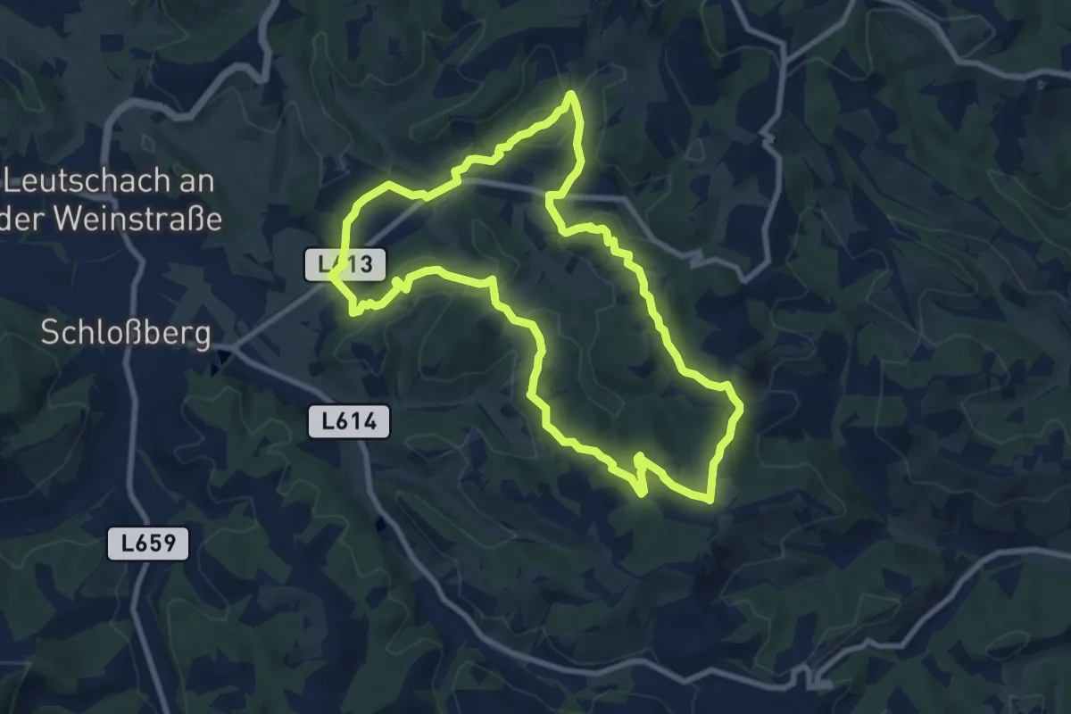
Medium · Trail
Glanzer Hoftour (Variante 1 - Kurzvariante)
8.4 km · ↑ 313 m · 2 h 47 min · 14 km away
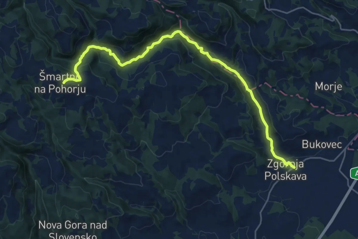
Medium · Trail
Zgornja Polskava - Vintgar - Šmartno
17.6 km · ↑ 562 m · 5 h 23 min · 15 km away
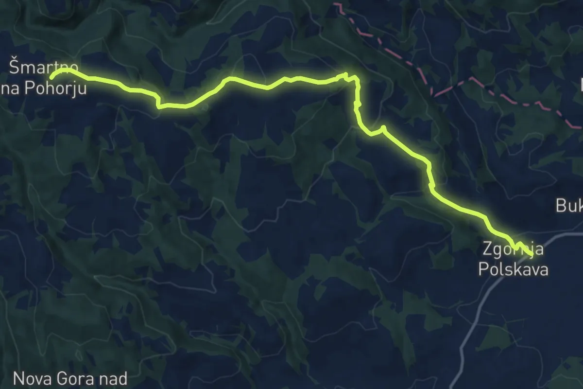
Medium · Trail
Zgornja Polskava - Kočno - Šmartno
14.9 km · ↑ 528 m · 4 h 39 min · 15 km away
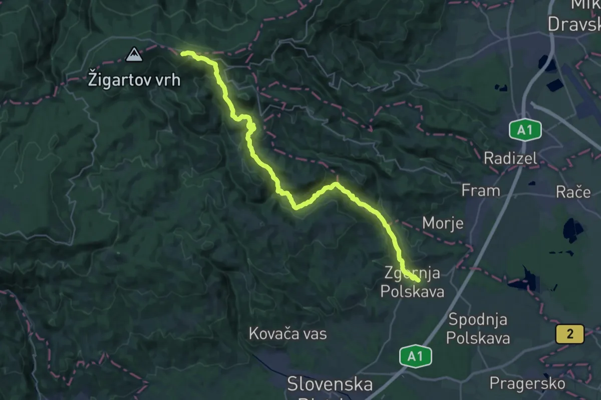
Demanding · Cabin
Zgornja Polskava - Ruška koča
14.6 km · ↑ 1026 m · 5 h 24 min · 15 km away
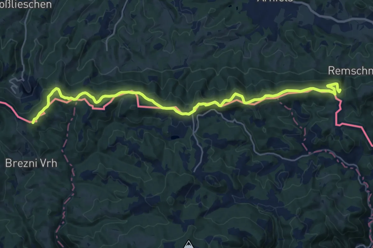
Demanding · Summit
Südalpenweg 03 - Etappe 4
20.5 km · ↑ 600 m · 6 h 8 min · 15 km away
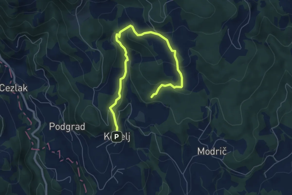
Medium · Trail
Naravoslovna učna pot Kebelj (nezahtevna)
6.9 km · ↑ 330 m · 2 h 21 min · 15 km away
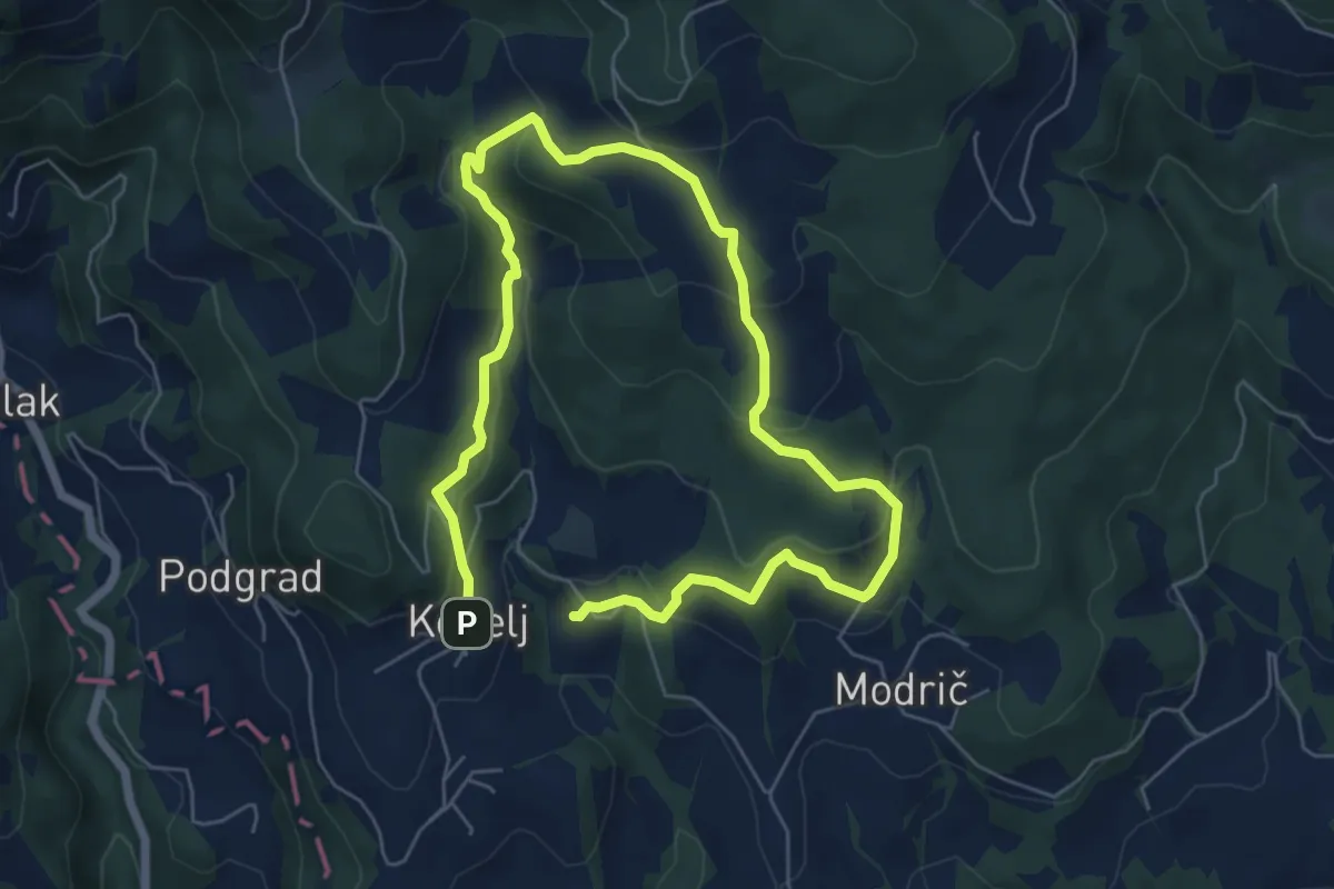
Medium · Trail
Naravoslovna učna pot Kebelj (zahtevnejša)
9.8 km · ↑ 479 m · 3 h 21 min · 15 km away
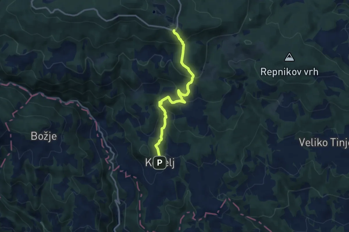
Medium · Cabin
Pohodna pot Kebelj - Trije Kralji
8.8 km · ↑ 495 m · 3 h 8 min · 15 km away
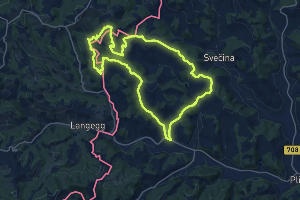
Medium · Trail
NW Vino TOUR - Grüne Strecke - zelena pot
12.8 km · ↑ 542 m · 4 h 22 min · 15 km away
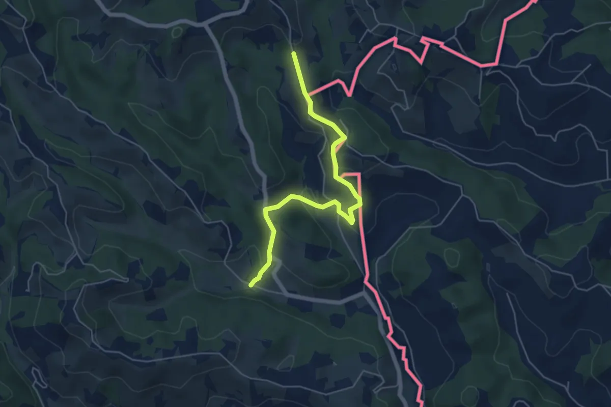
Easy · Trail
Kulinarische Weinberg-Wanderung
2.5 km · ↑ 56 m · 49 min · 15 km away