Trails near Šentjur
68 hikes starting within 15 km, nearest first.
Nearest first, page 2 of 2
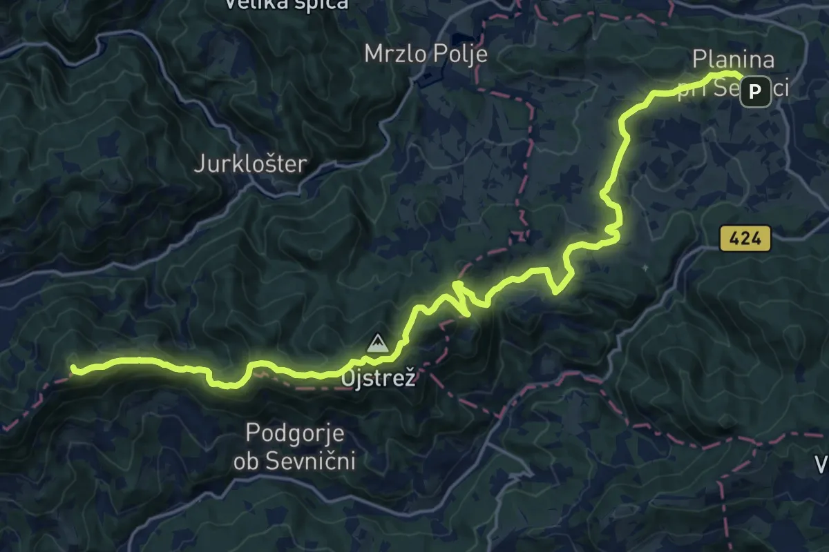
Demanding · Summit
Planina pri Sevnici - Ješivec
24.4 km · ↑ 984 m · 7 h 54 min · 13 km away
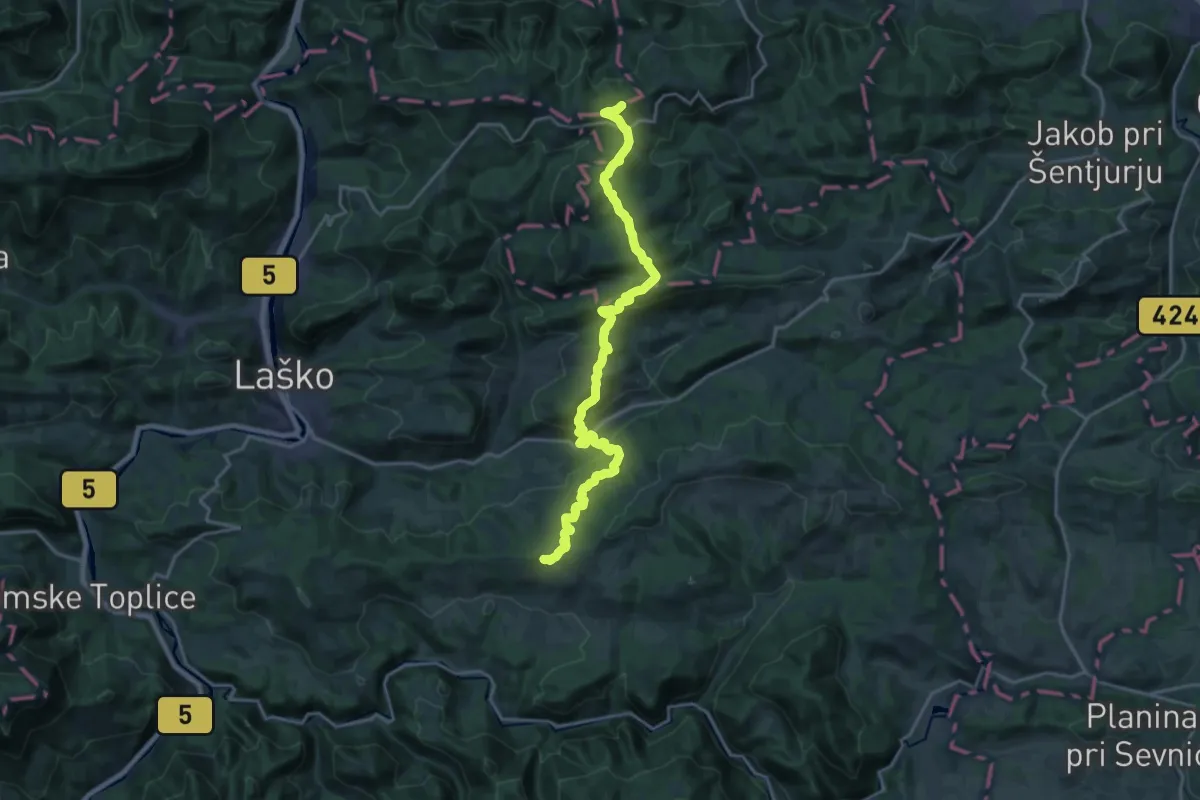
Demanding · Summit
Vrh nad Laškim - Dom na Svetini
21.5 km · ↑ 1157 m · 7 h 35 min · 13 km away
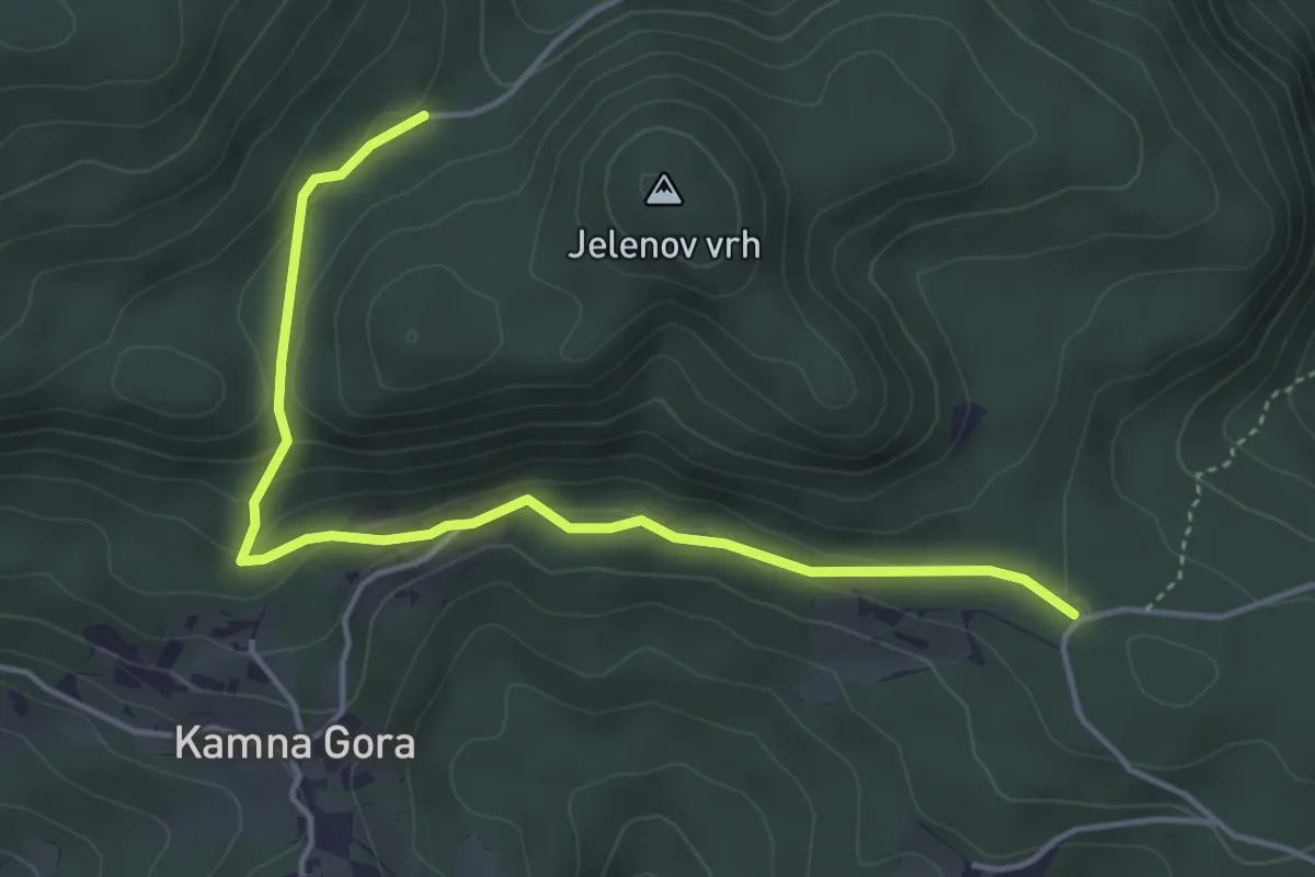
Easy · Trail
Trije križi - Kamna Gora - Grofov štant
4.6 km · ↑ 147 m · 1 h 25 min · 13 km away
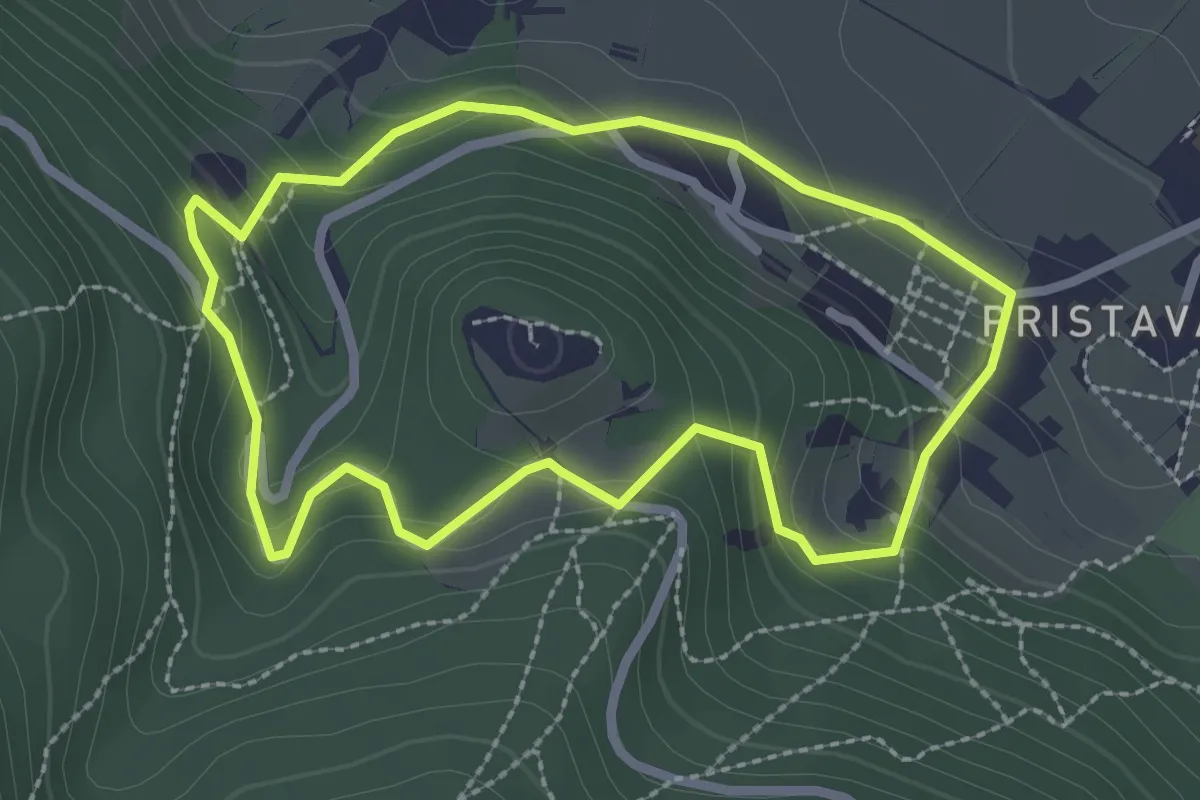
Easy · Trail
Krožna pot na grad
2.4 km · ↑ 138 m · 54 min · 13 km away
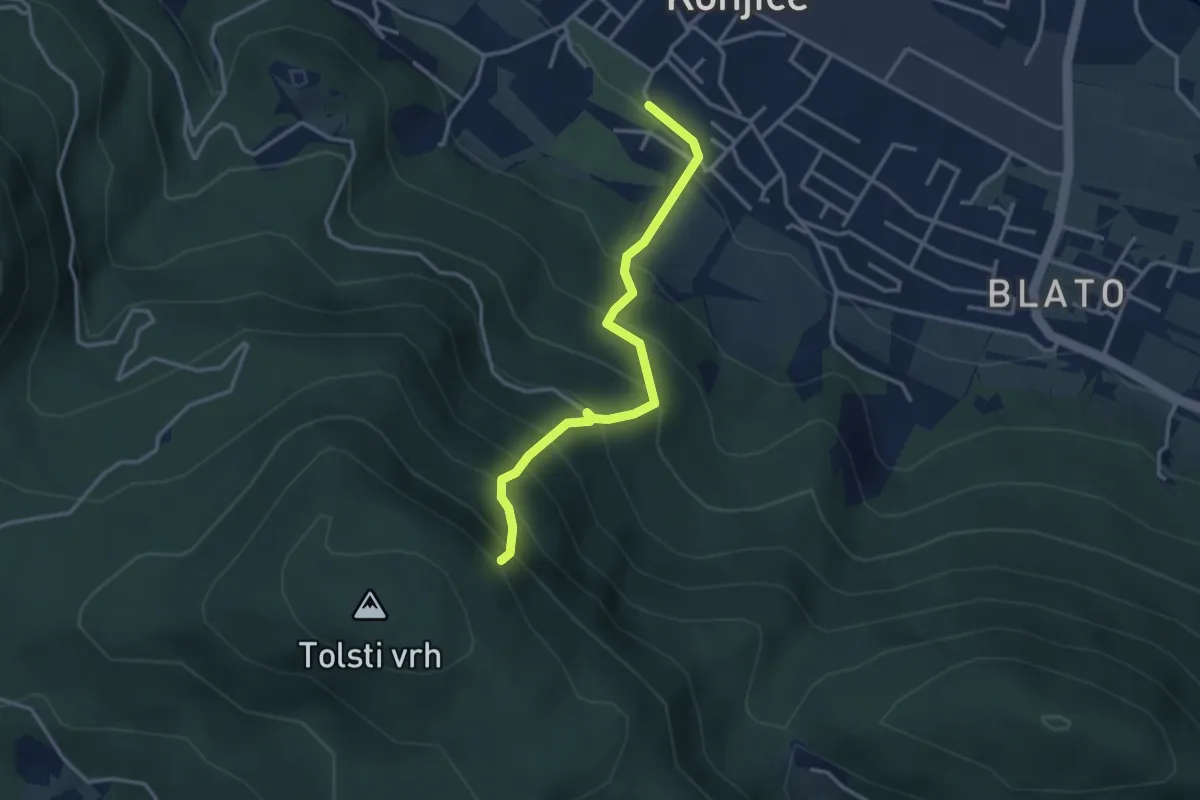
Expert · Summit
Sl. Konjice - Skala (plezalna)
3.2 km · ↑ 417 m · 1 h 40 min · 13 km away
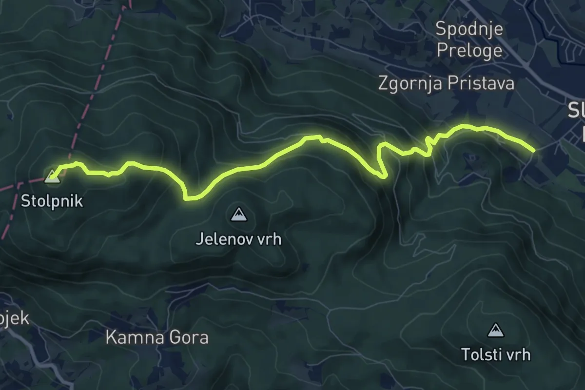
Medium · Summit
Sl. Konjice - Stolpnik
9.3 km · ↑ 653 m · 3 h 37 min · 13 km away
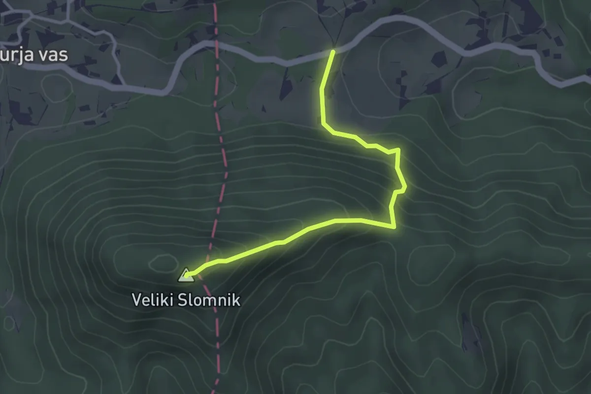
Easy · Summit
Zg. Košnica - V. Slomnik
3.0 km · ↑ 254 m · 1 h 16 min · 14 km away
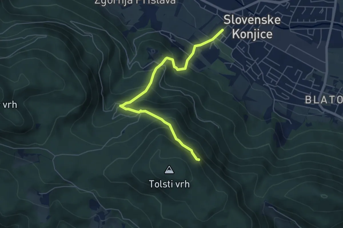
Medium · Summit
Sl. Konjice - Skala
5.5 km · ↑ 458 m · 2 h 18 min · 14 km away
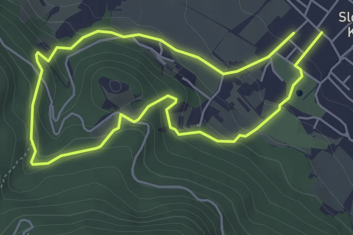
Easy · Trail
Zmajčkova pot
3.6 km · ↑ 205 m · 1 h 21 min · 14 km away
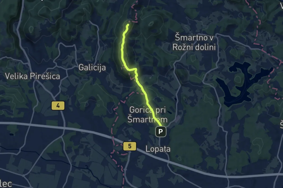
Medium · Summit
Lopata - Pl. dom na Gori
8.5 km · ↑ 386 m · 2 h 50 min · 14 km away
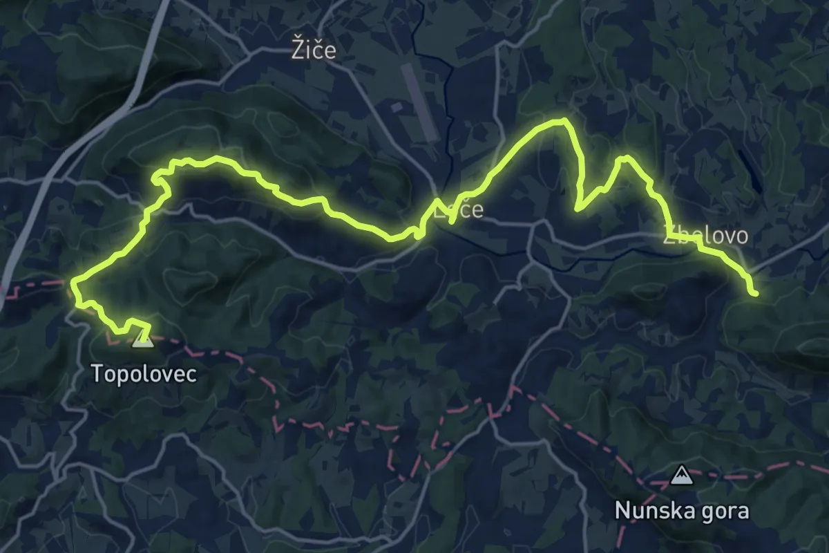
Demanding · Summit
Loško-zbelovska pot
23.9 km · ↑ 703 m · 7 h 10 min · 14 km away
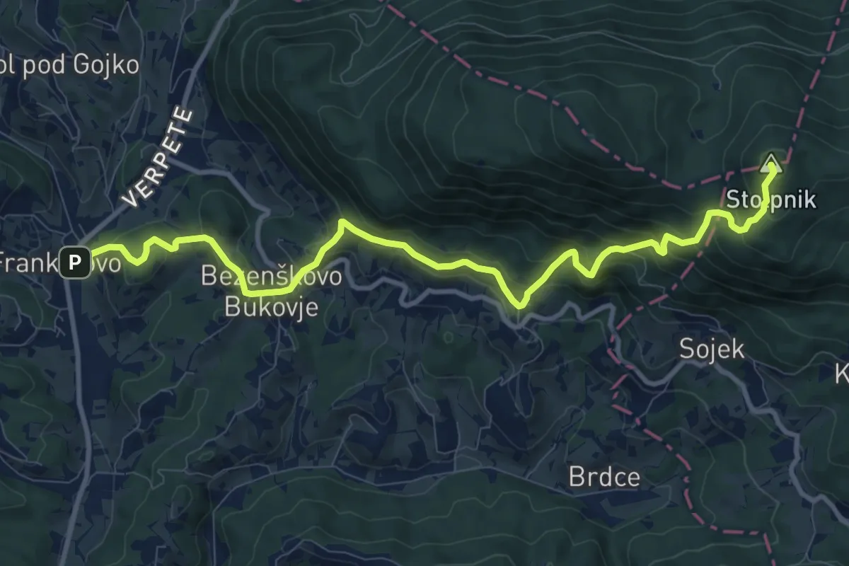
Demanding · Summit
Frankolovo - Črešnjice - Stolpnik
11.4 km · ↑ 811 m · 4 h 26 min · 14 km away
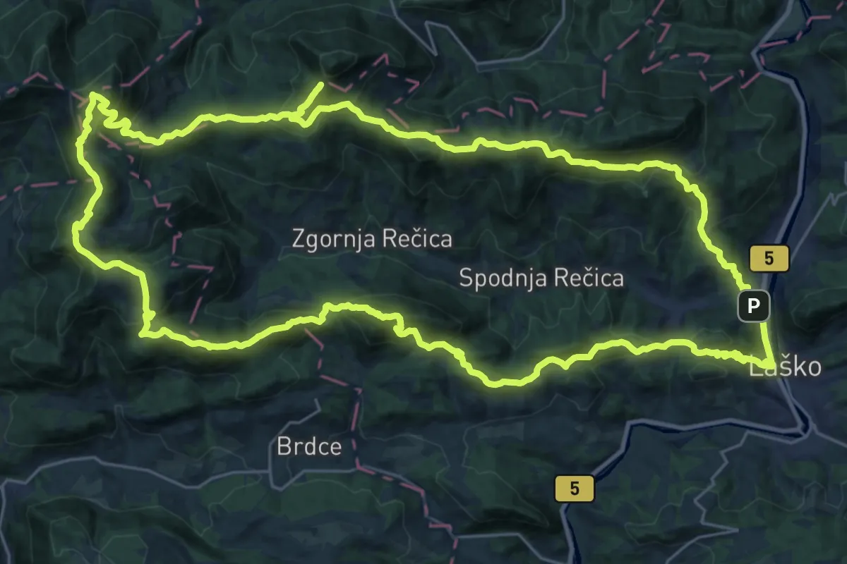
Demanding · Summit
Rečiška planinska pot
31.1 km · ↑ 1840 m · 11 h 46 min · 14 km away
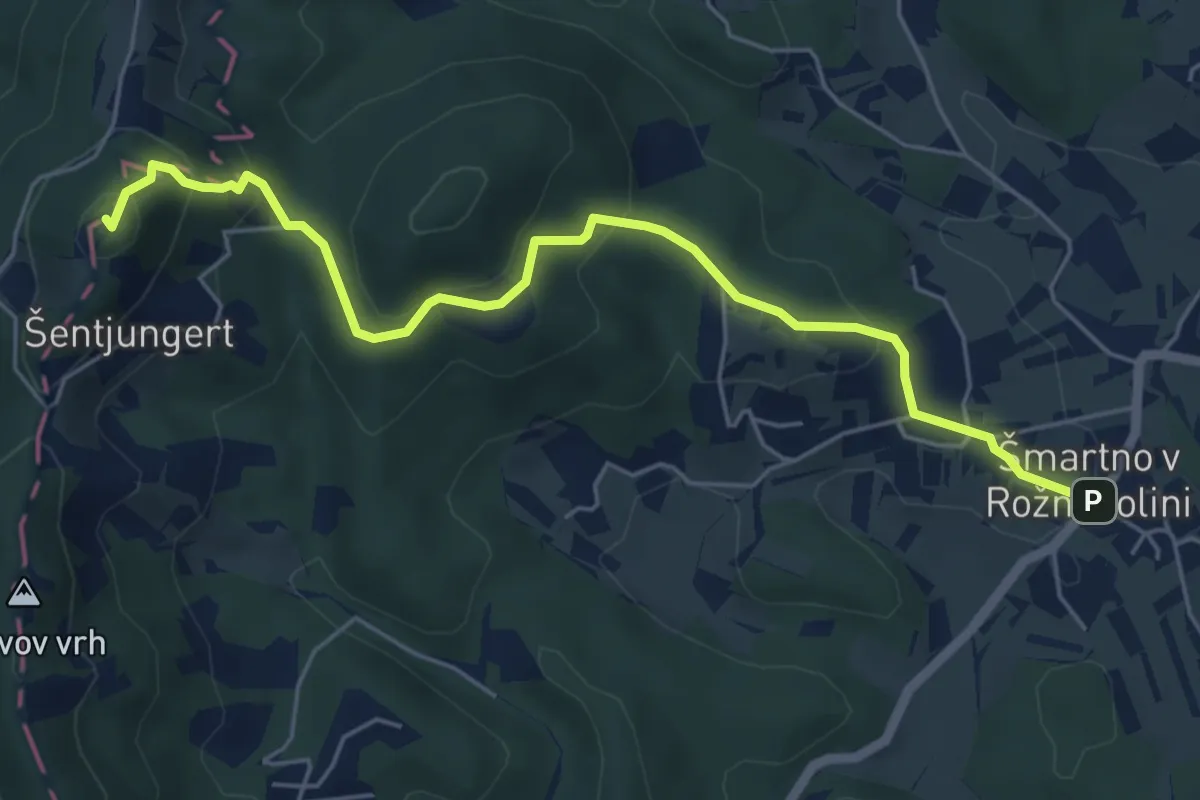
Easy · Summit
Šmartno v Rožni dolini - Pl. dom Šentjugert
5.9 km · ↑ 297 m · 2 h 2 min · 14 km away
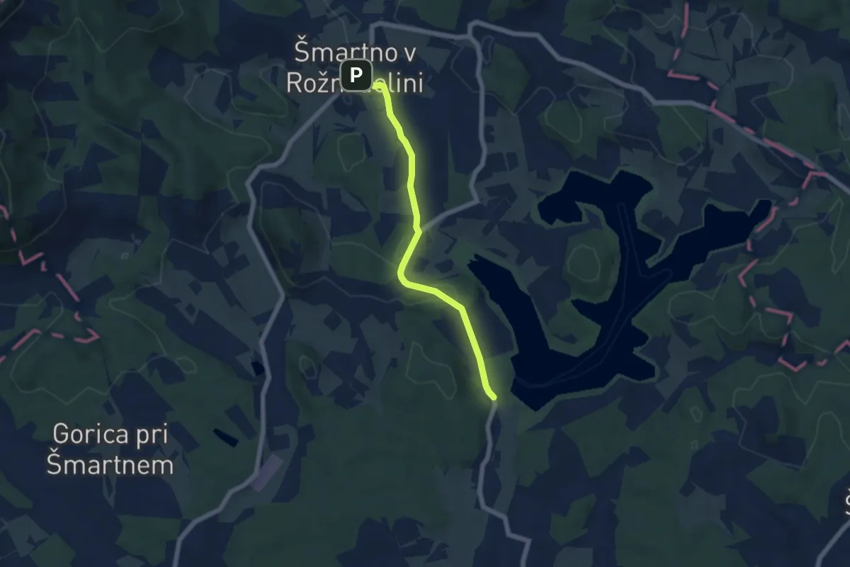
Easy · Trail
Šmartno v Rožni dolini - Šmartinsko jezero
5.0 km · ↑ 118 m · 1 h 26 min · 14 km away
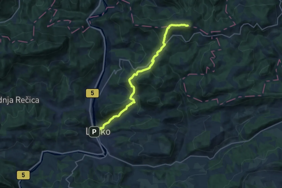
Demanding · Summit
Laško - Tolsti vrh
14.4 km · ↑ 843 m · 5 h 13 min · 14 km away
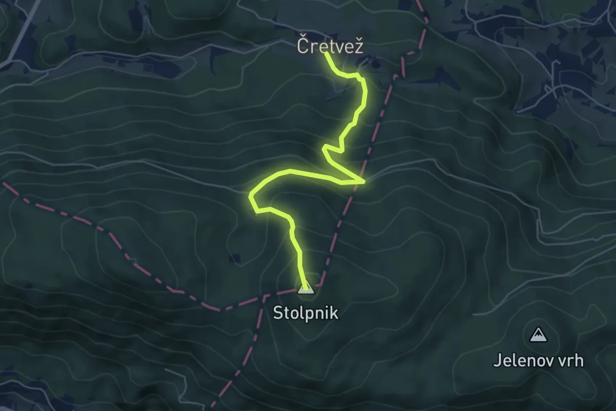
Medium · Summit
Čretvež - Štepih - Stolpnik
5.4 km · ↑ 472 m · 2 h 18 min · 15 km away
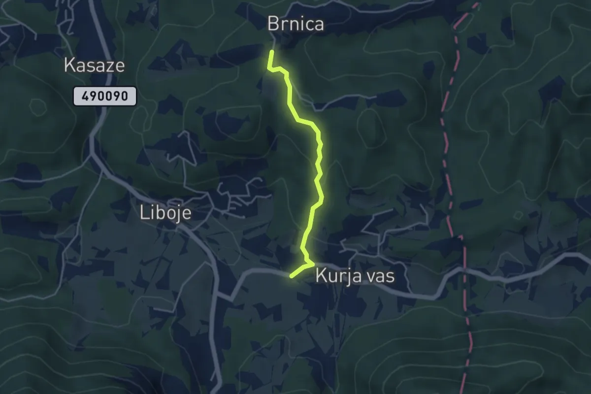
Easy · Cabin
Košnica - Dom na Brnici
3.1 km · ↑ 127 m · 1 h 1 min · 15 km away
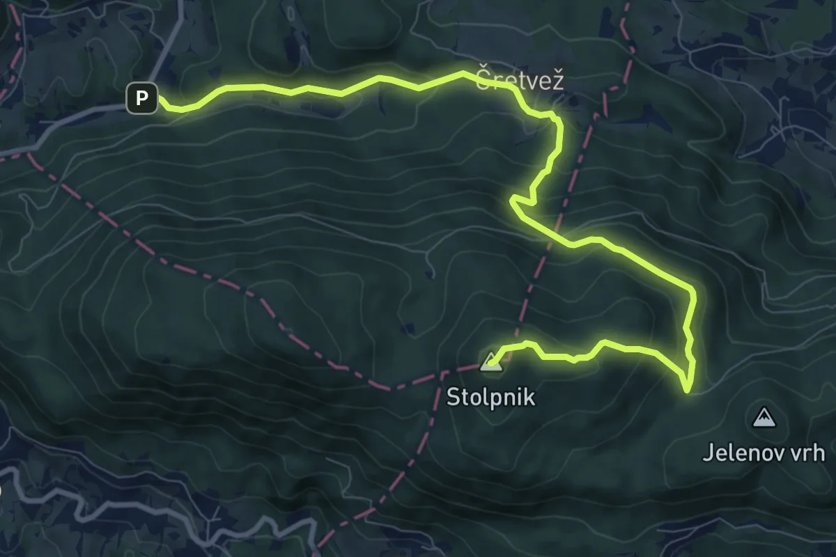
Medium · Summit
Sp. Stranice - Stolpnik
11.5 km · ↑ 663 m · 4 h 9 min · 15 km away
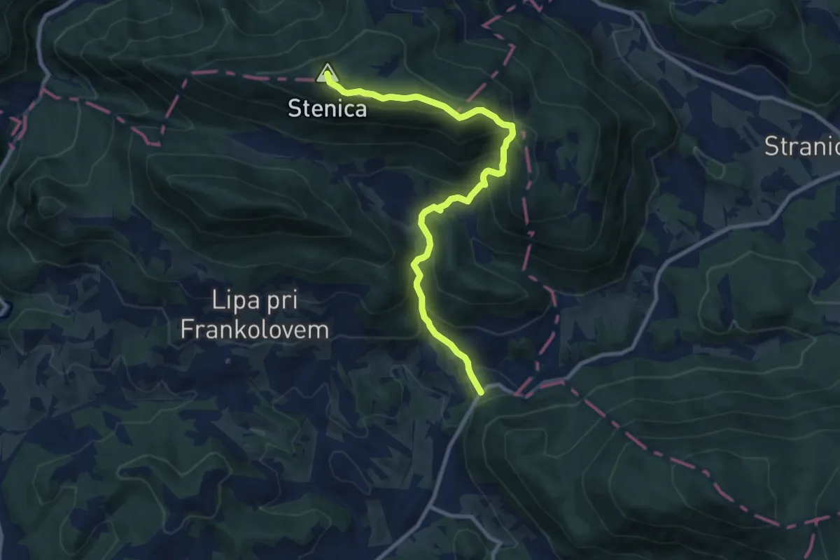
Medium · Summit
Beli Potok - Stenica
9.7 km · ↑ 742 m · 3 h 54 min · 15 km away