Trails near Sežana
70 hikes starting within 15 km, nearest first.
Nearest first, page 2 of 2
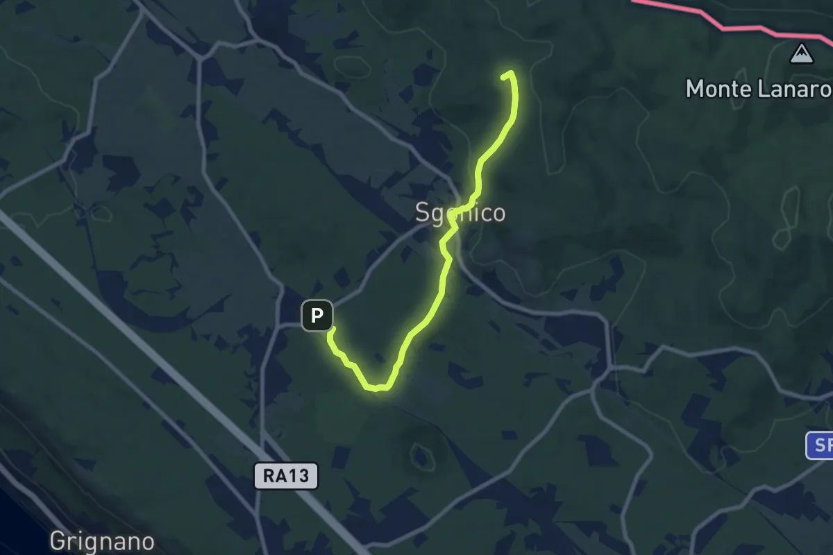
Easy · Summit
Riselce (tratto)
7.7 km · ↑ 151 m · 2 h 9 min · 11 km away
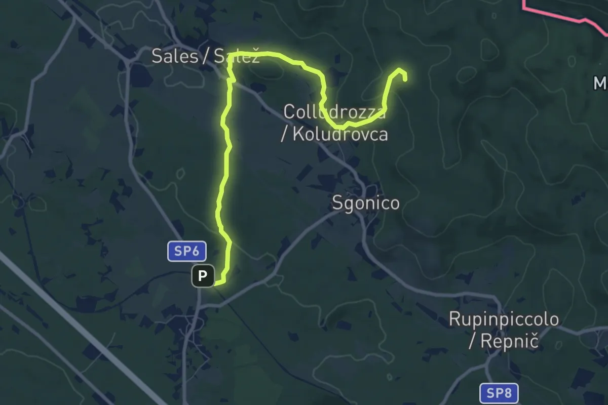
Medium · Summit
Sentiero natura
9.1 km · ↑ 158 m · 2 h 30 min · 11 km away
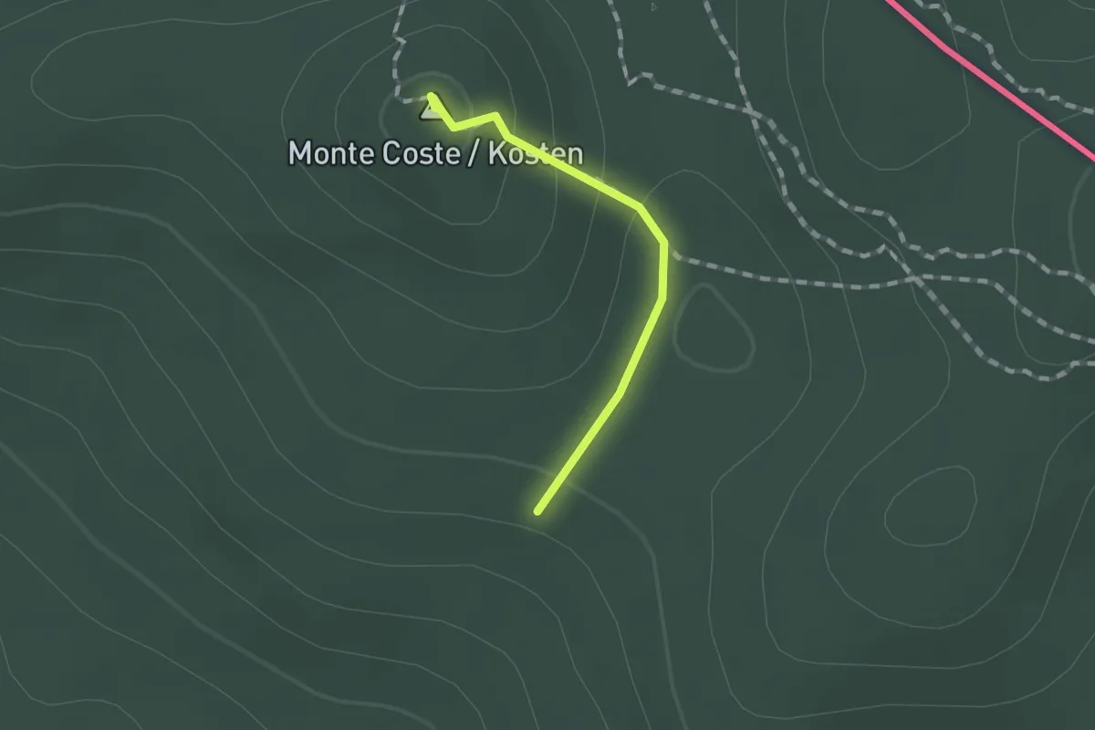
Medium · Summit
Samatorza / Samatorca – Sales / Salež - bivio sentiero n. 41
1.0 km · ↑ 40 m · 20 min · 11 km away
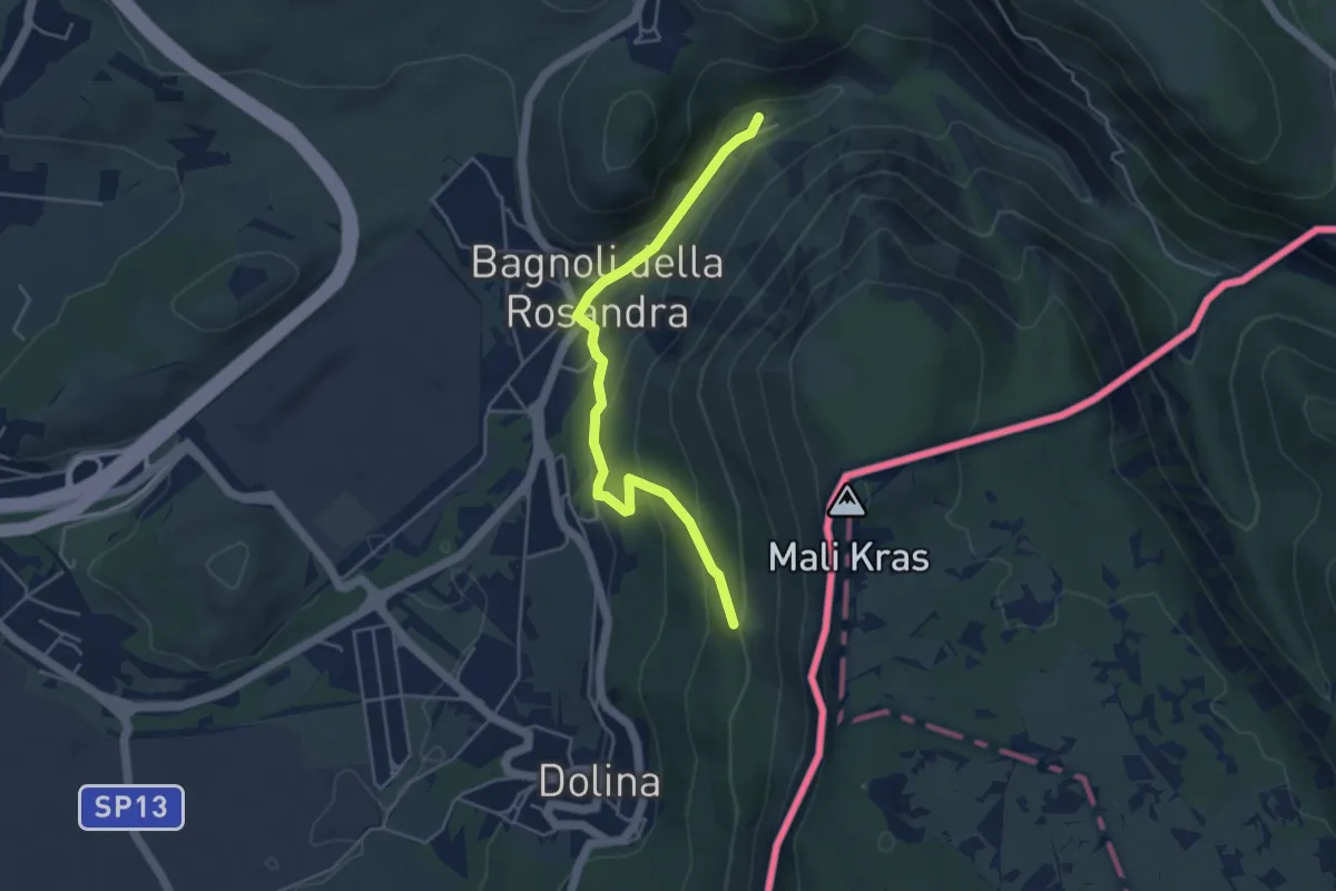
Easy · Cabin
Rifugio Premuda (quota 84 m) – Vedetta di Crogole bivio sentiero CAI 001 (quota 231 m)
4.5 km · ↑ 205 m · 1 h 30 min · 12 km away
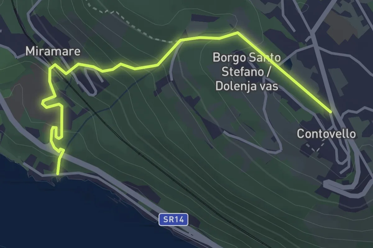
Easy · Trail
Sentiero dei Pescatori / Ribiška pot
3.7 km · ↑ 258 m · 1 h 26 min · 12 km away
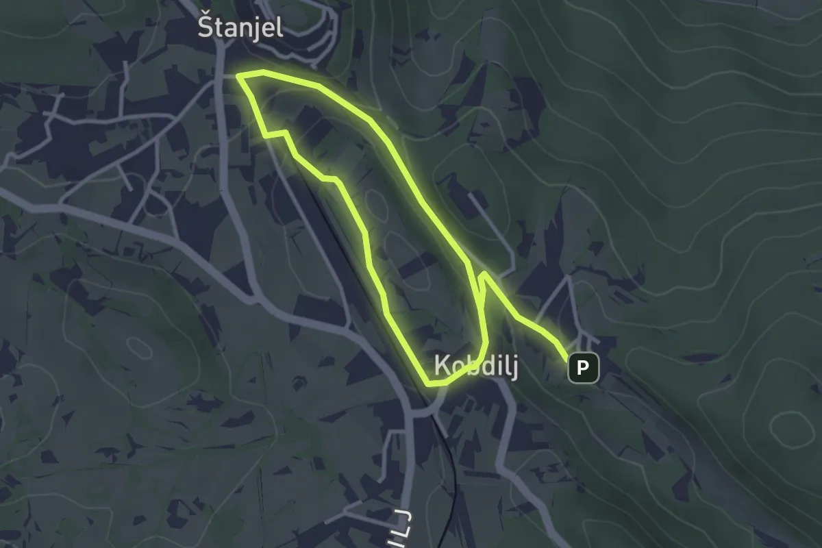
Easy · Trail
Fabianijeva pot
5.3 km · ↑ 158 m · 1 h 35 min · 12 km away
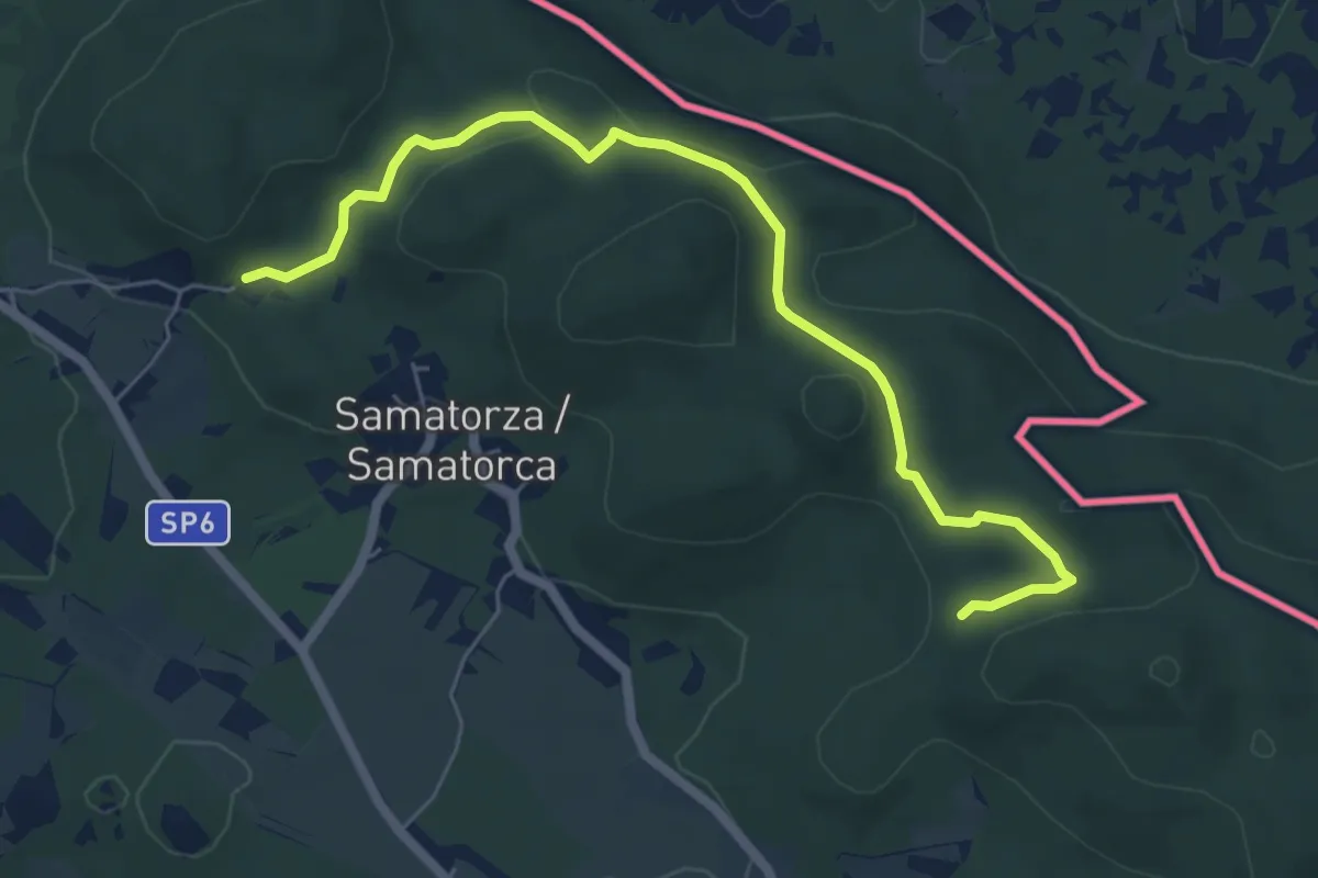
Medium · Trail
Alpe Adria Trail E34
6.6 km · ↑ 167 m · 1 h 55 min · 12 km away
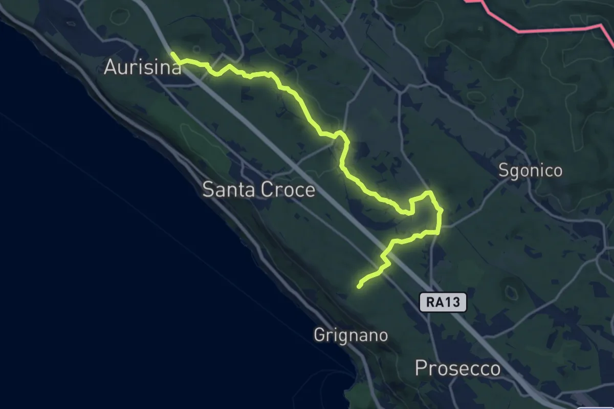
Medium · Trail
Bosco S. Primo - Bivio sentiero n. 006 (quota 245 m) – Aurisina / Nabrežina – Bivio sentiero n. 032 (quota 128 m)
16.9 km · ↑ 168 m · 4 h 21 min · 12 km away
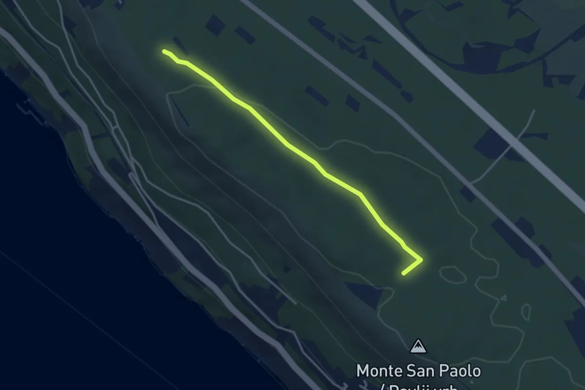
Easy · Trail
Santa Croce / Križ - Bivio sentiero n. 001 (quota 227 m) – Bosco Fornace - bivio sentiero n. 001 (quota 249 m)
3.3 km · ↑ 18 m · 49 min · 12 km away
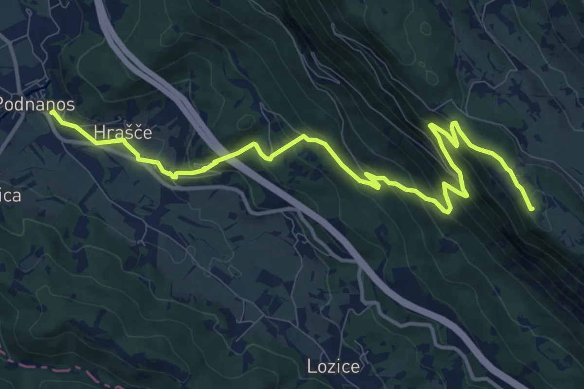
Medium · Summit
Podnanos - Sv. Hieronim
11.7 km · ↑ 714 m · 4 h 18 min · 12 km away
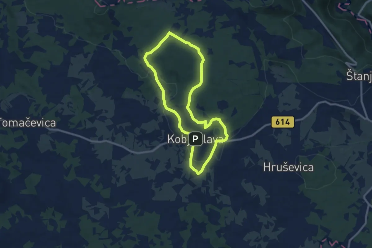
Easy · Trail
Pot devetih kalov
6.4 km · ↑ 99 m · 1 h 49 min · 13 km away
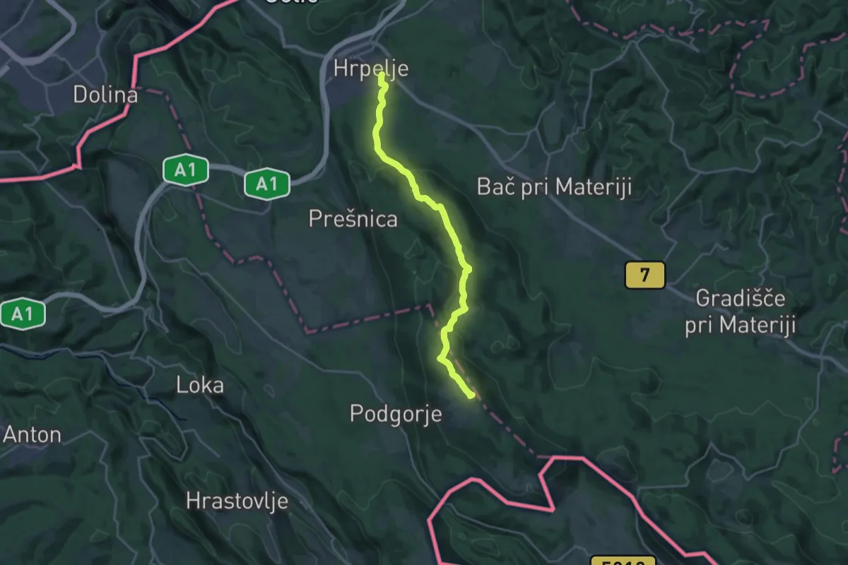
Demanding · Summit
Hrpelje - Slavnik
20.1 km · ↑ 711 m · 6 h 17 min · 13 km away
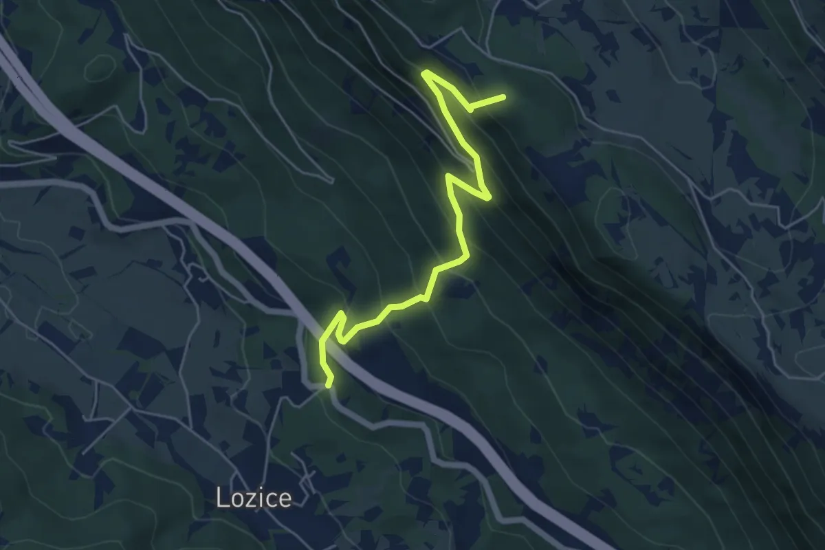
Medium · Summit
Podgrič - Lovska koča Strmec
5.1 km · ↑ 519 m · 2 h 19 min · 13 km away
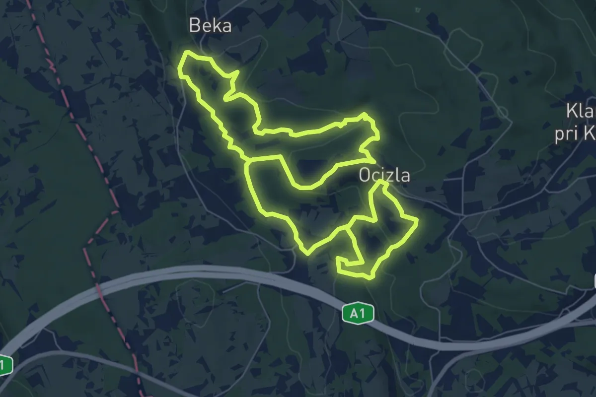
Medium · Trail
Tigrovska pot
14.9 km · ↑ 409 m · 4 h 24 min · 13 km away
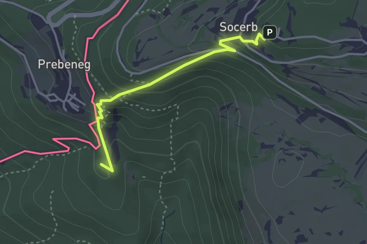
Medium · Summit
Slovenska planinska pot
2.9 km · ↑ 247 m · 1 h 13 min · 13 km away
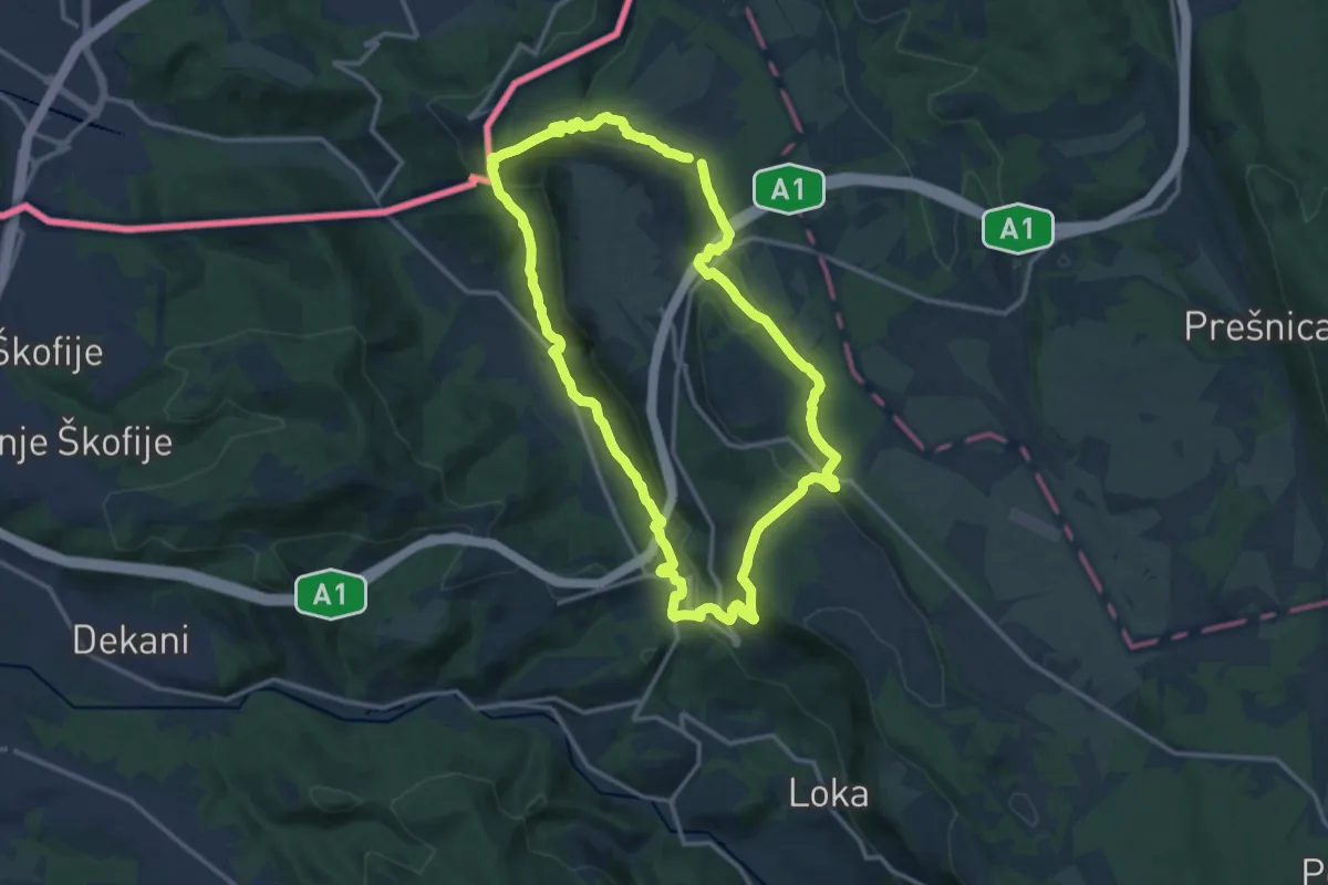
Medium · Summit
P3
13.8 km · ↑ 546 m · 4 h 38 min · 14 km away
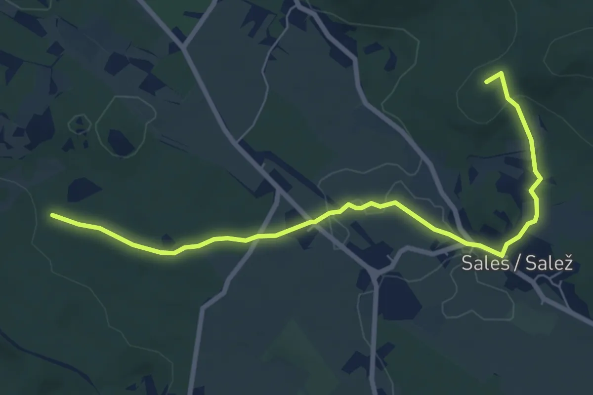
Easy · Summit
Bivio sentiero n. 010 (quota 208 m) – Bivio sentiero n. 045 – Zona Drnovice (quota 308 m)
6.7 km · ↑ 116 m · 1 h 50 min · 14 km away
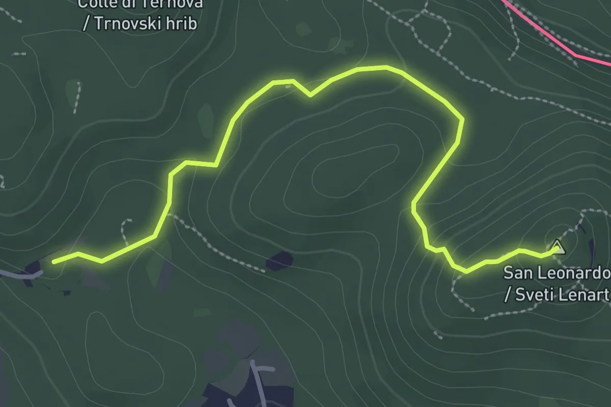
Medium · Summit
Santa Croce / Križ – San Pelagio / Šempolaj
3.5 km · ↑ 126 m · 1 h 6 min · 14 km away
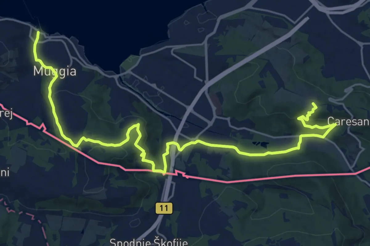
Demanding · Summit
Via Alpina Yellow B1
21.2 km · ↑ 650 m · 6 h 25 min · 14 km away
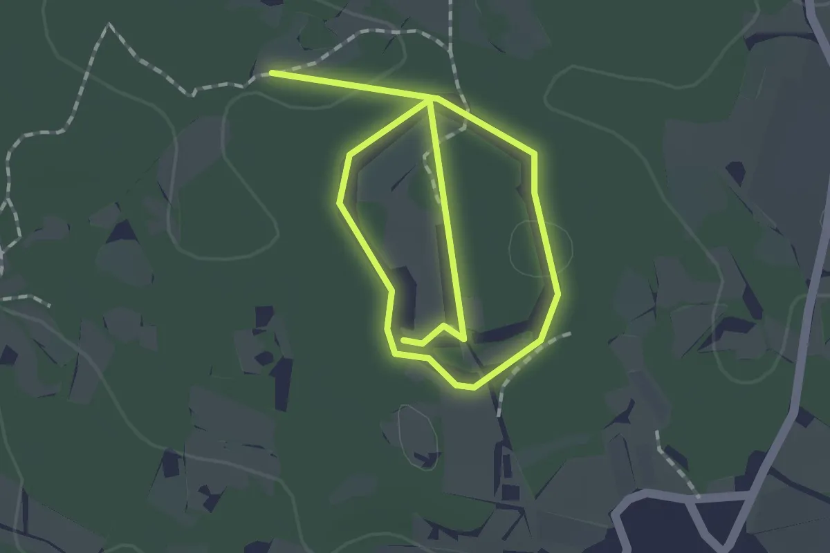
Easy · Trail
Pot kamna
1.3 km · ↑ 4 m · 20 min · 14 km away
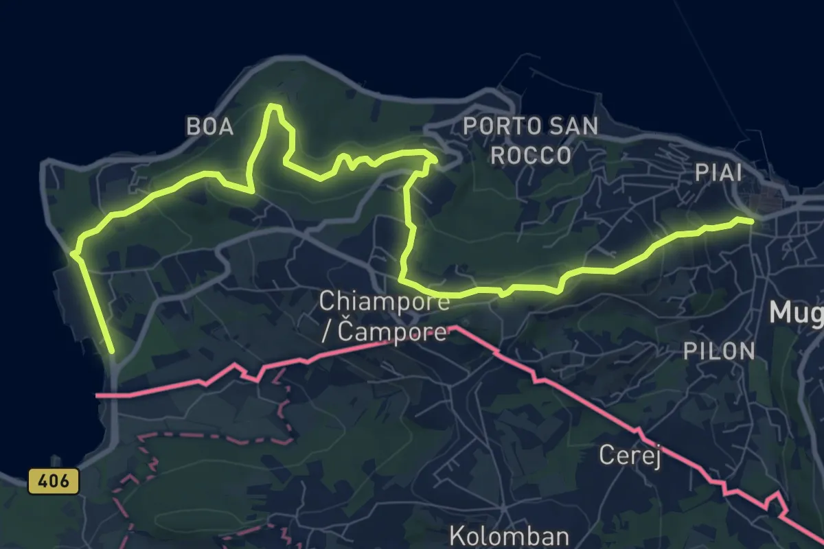
Medium · Trail
Muggia – San Bartolomeo
12.4 km · ↑ 497 m · 4 h · 14 km away
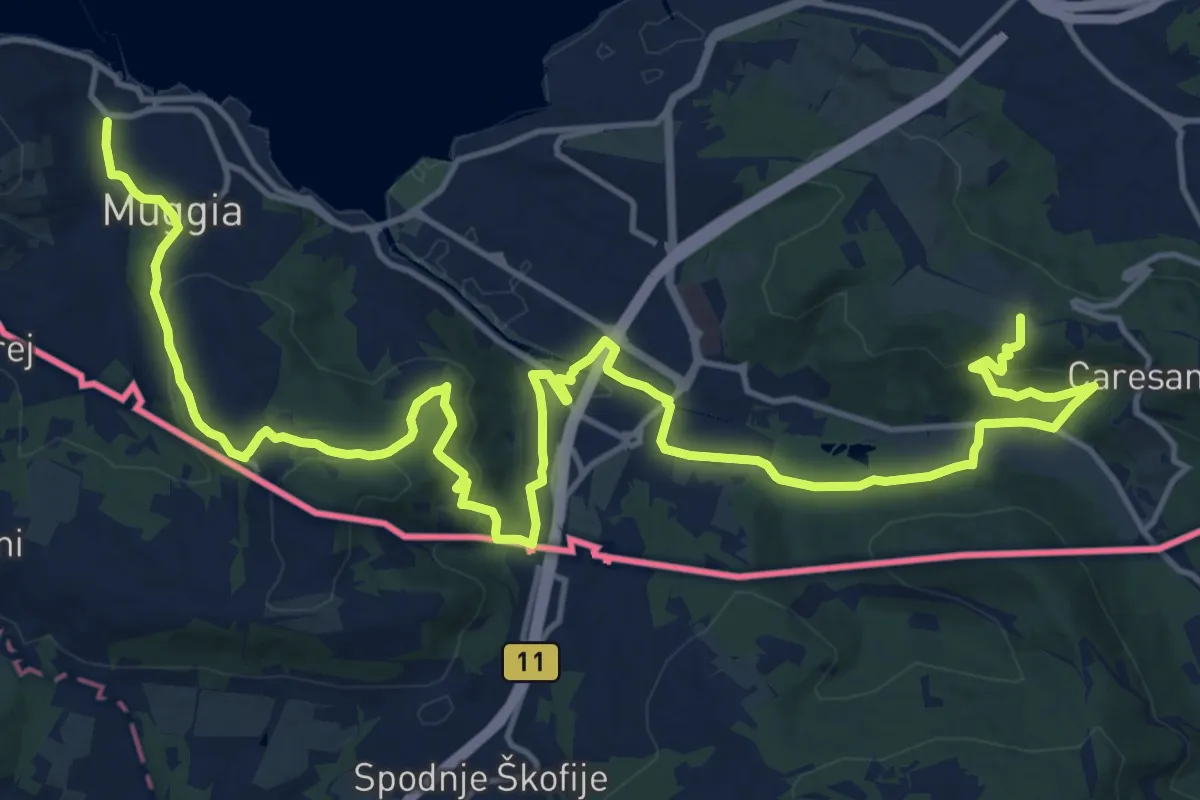
Demanding · Summit
Centro visite Val Rosandra – Muggia
23.2 km · ↑ 656 m · 6 h 54 min · 14 km away