Trails near Škofja Loka
82 hikes starting within 15 km, nearest first.
Nearest first, page 1 of 2
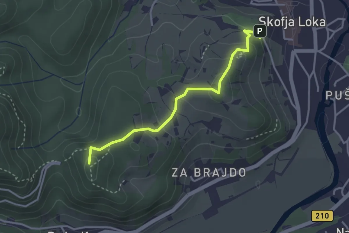
Easy · Summit
Pot treh gradov
2.9 km · ↑ 153 m · 1 h 1 min · under 1 km away
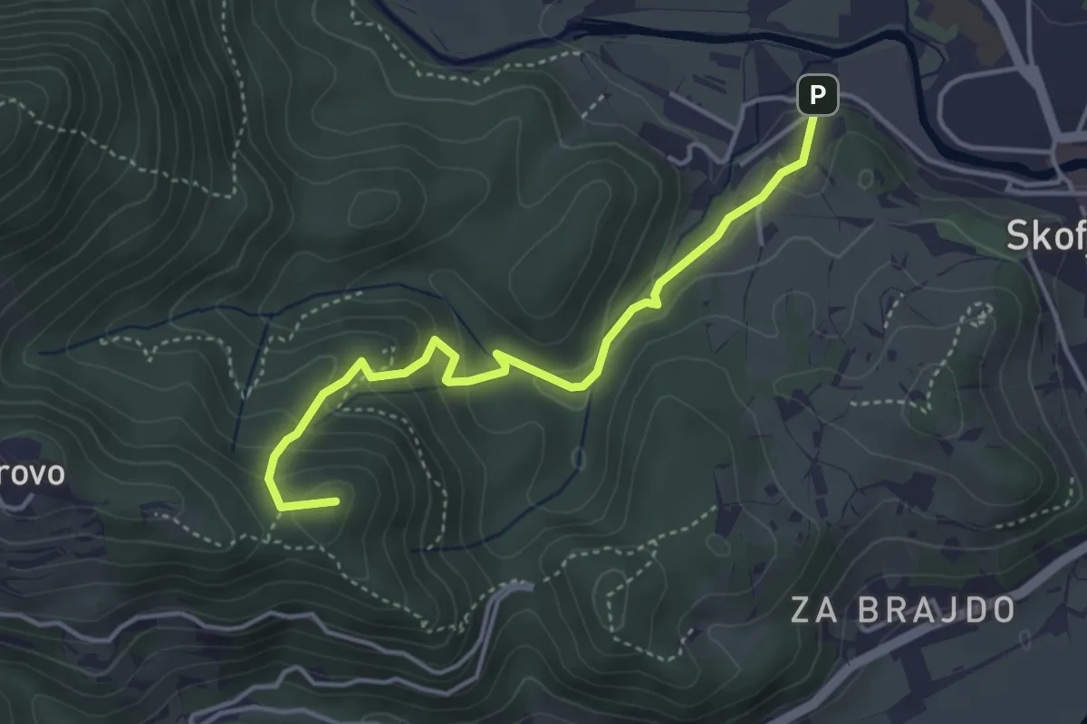
Medium · Summit
Vincarje - Gabrovo
4.0 km · ↑ 285 m · 1 h 34 min · 1 km away
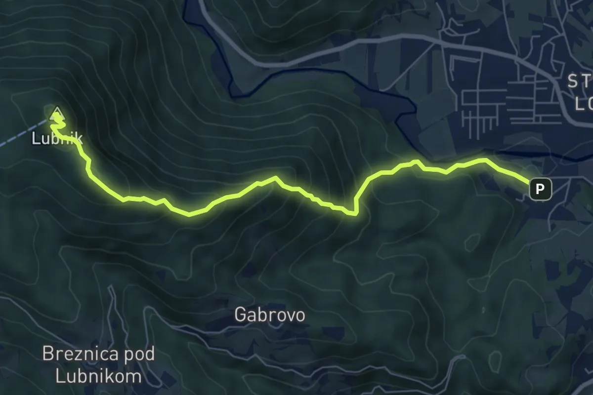
Medium · Summit
Vincarje - Lubnik
7.2 km · ↑ 648 m · 3 h 6 min · 1 km away
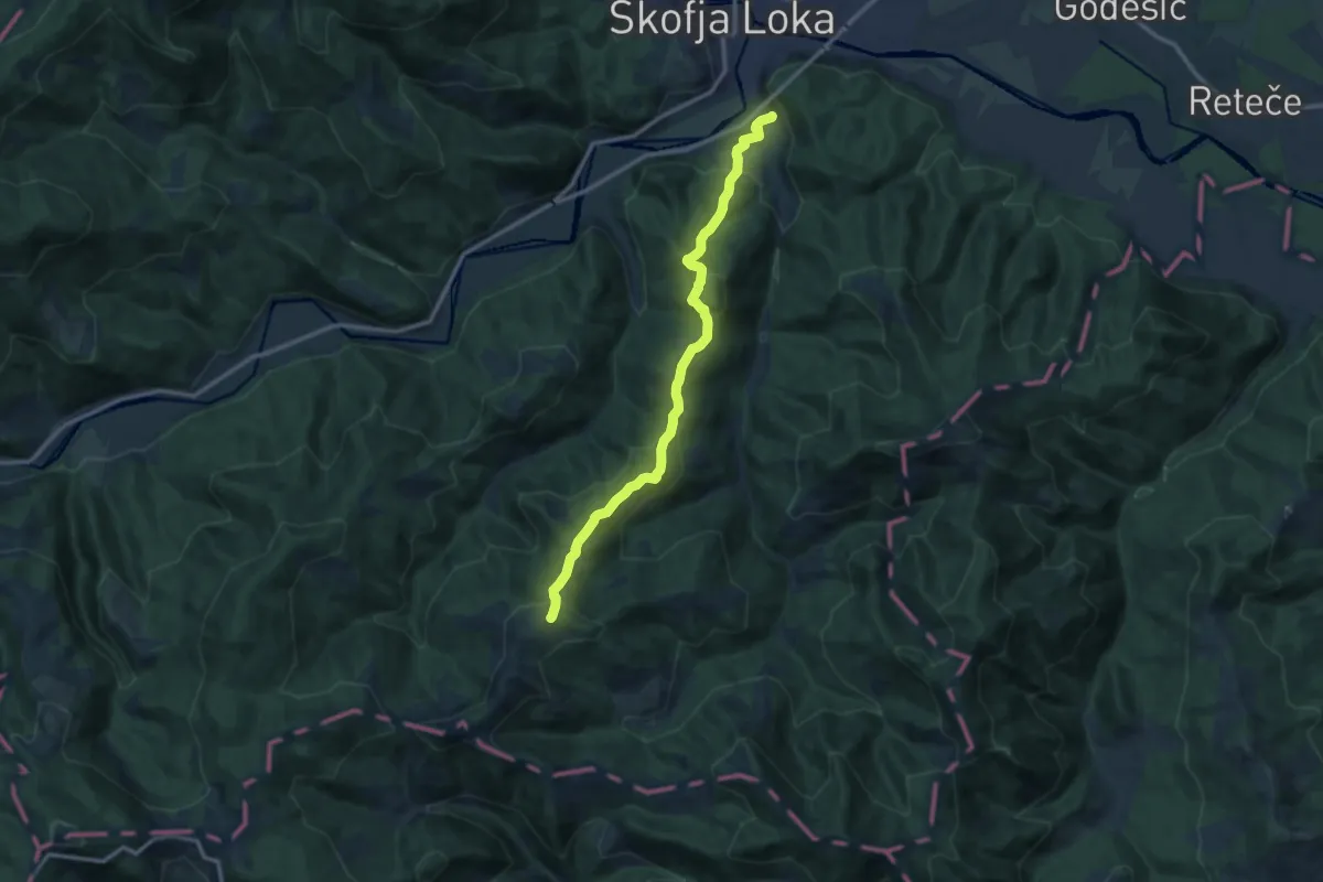
Medium · Summit
Puštal - Sv. Ožbolt
11.7 km · ↑ 602 m · 4 h 4 min · 1 km away
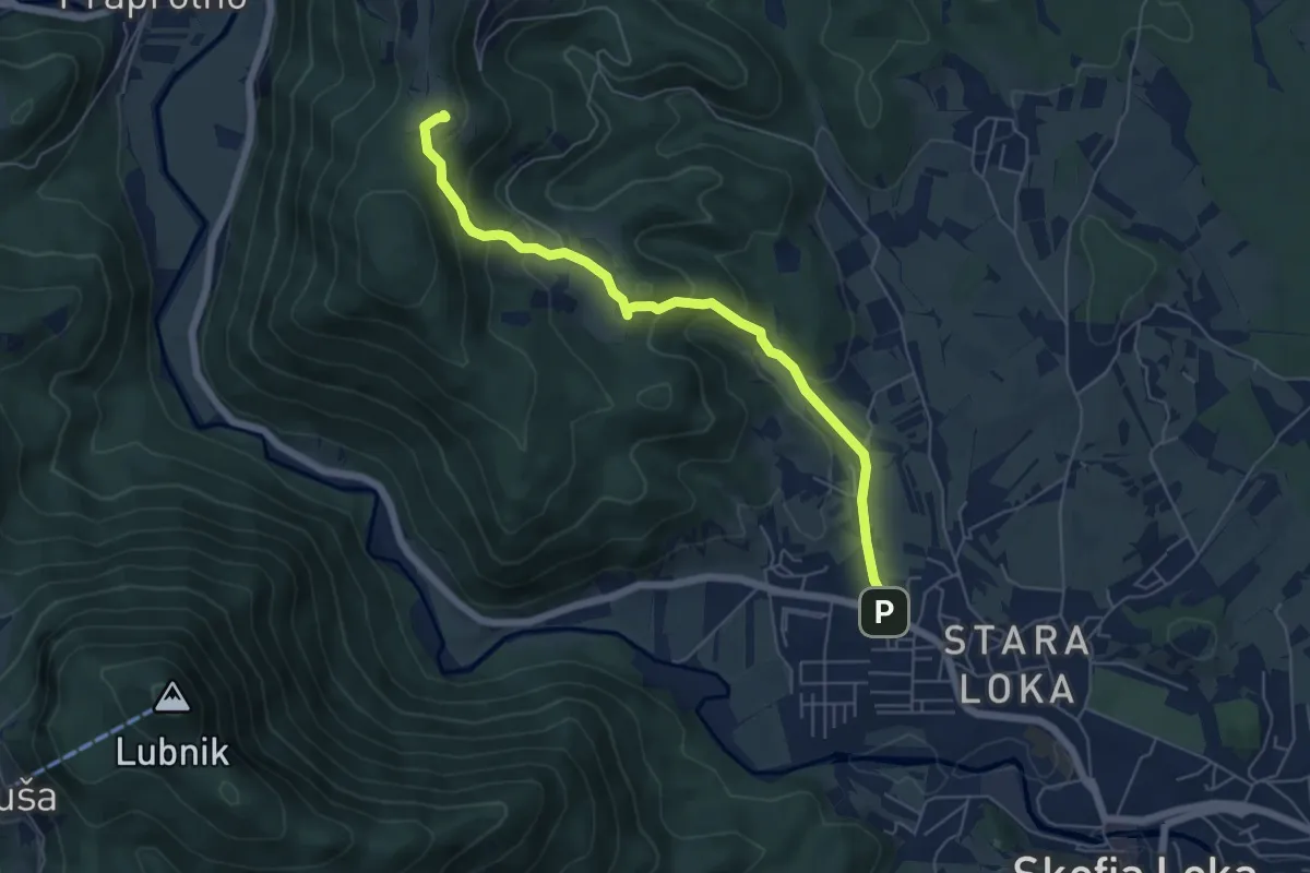
Medium · Trail
Škofja Loka - Križna Gora
6.0 km · ↑ 339 m · 2 h 8 min · 1 km away
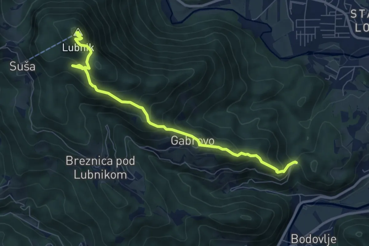
Medium · Summit
Gabrovo - Lubnik
7.4 km · ↑ 586 m · 3 h 1 min · 1 km away
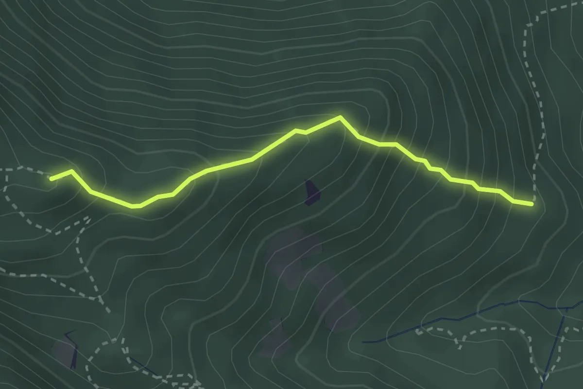
Medium · Summit
Grebenska pot
2.6 km · ↑ 347 m · 1 h 22 min · 2 km away
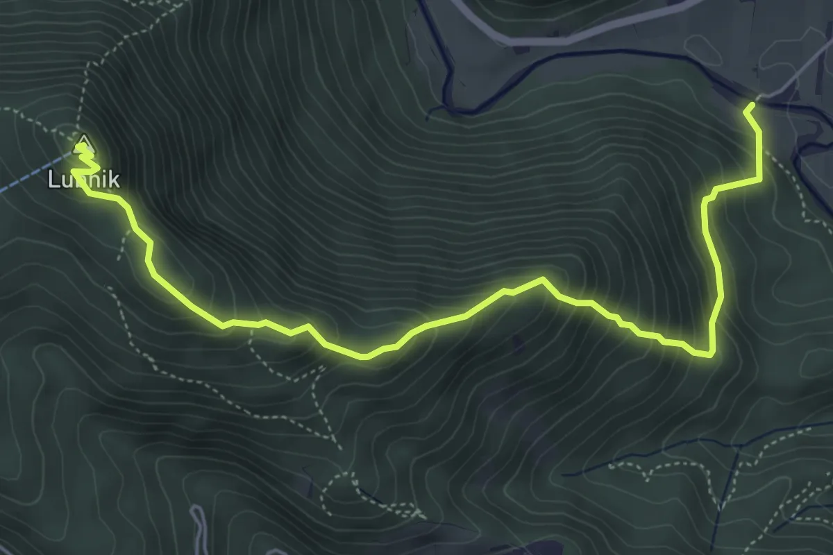
Medium · Summit
Vešter - Lubnik
6.2 km · ↑ 656 m · 2 h 53 min · 2 km away
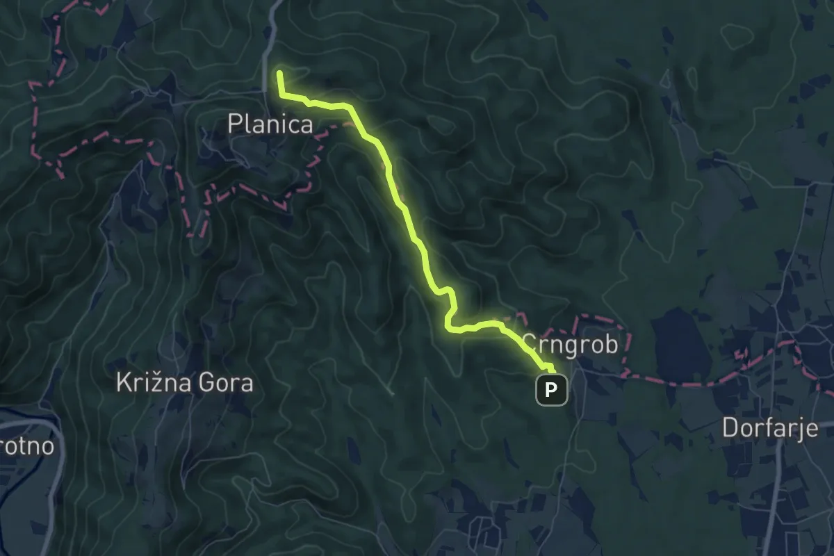
Medium · Summit
Crngrob - Planica
6.4 km · ↑ 370 m · 2 h 19 min · 4 km away
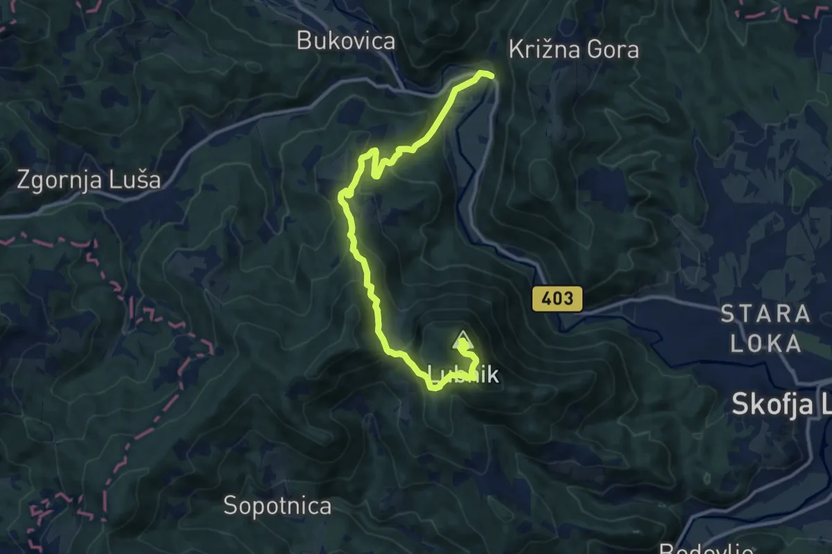
Medium · Summit
Praprotno - Lubnik
12.6 km · ↑ 750 m · 4 h 36 min · 5 km away
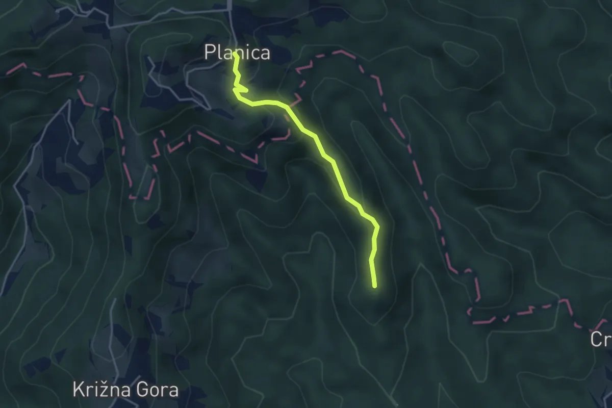
Easy · Summit
Pevno - Planica
3.2 km · ↑ 173 m · 1 h 8 min · 6 km away
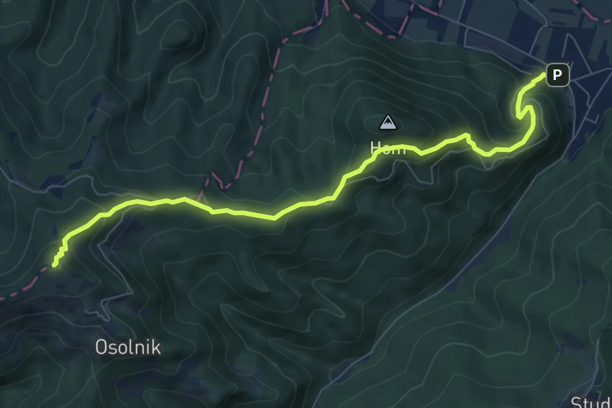
Medium · Summit
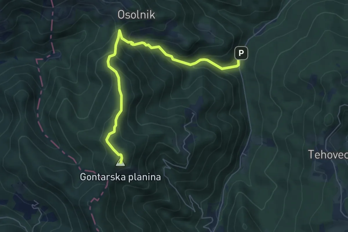
Sora - Osolnik
8.1 km · ↑ 558 m · 3 h 7 min · 6 km away
Medium · Summit
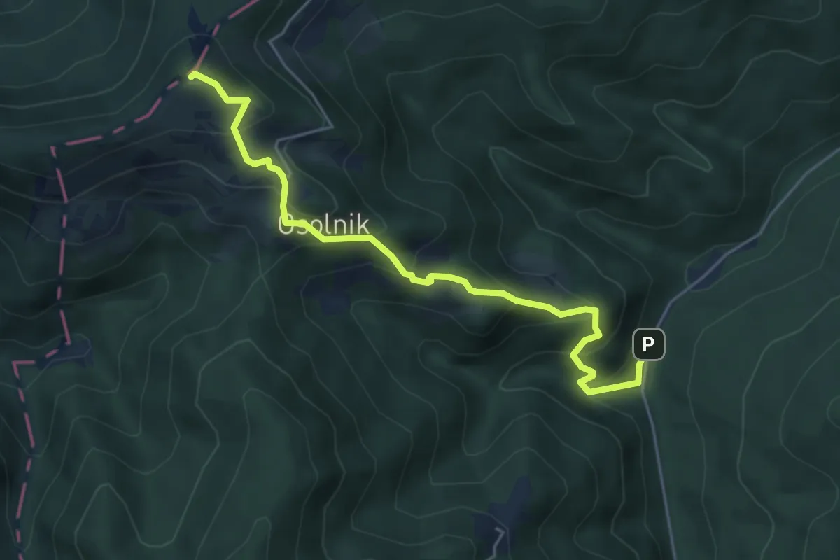
Trnovec - Gontarska pl.
6.3 km · ↑ 483 m · 2 h 32 min · 6 km away
Medium · Summit
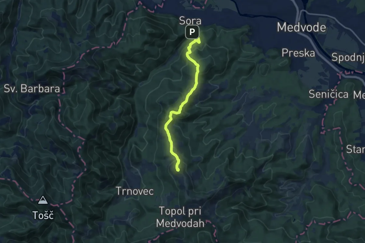
Jakobova pot – Gorenjska veja (var. Osolnik)
2.6 km · ↑ 400 m · 1 h 19 min · 6 km away
Medium · Summit
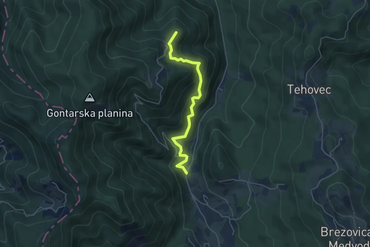
Sora - Sv. Jakob
10.2 km · ↑ 667 m · 3 h 51 min · 6 km away
Medium · Summit
Legastja - Dom na Govejku
4.1 km · ↑ 416 m · 1 h 52 min · 7 km away
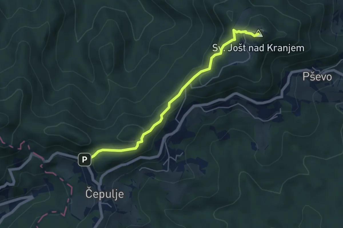
Easy · Summit
Čepulje - Sv. Jošt
4.4 km · ↑ 237 m · 1 h 33 min · 8 km away
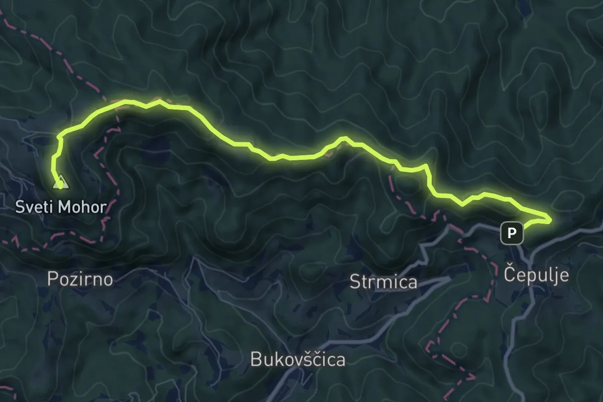
Medium · Summit
Čepulje - Sv. Mohor
9.9 km · ↑ 404 m · 3 h 12 min · 8 km away
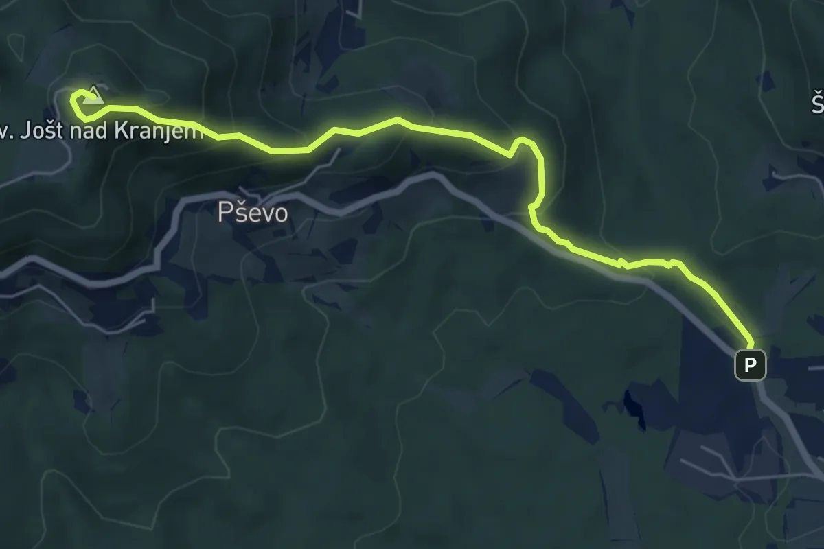
Medium · Summit
Stražišče - Sv. Jošt
6.0 km · ↑ 429 m · 2 h 20 min · 8 km away
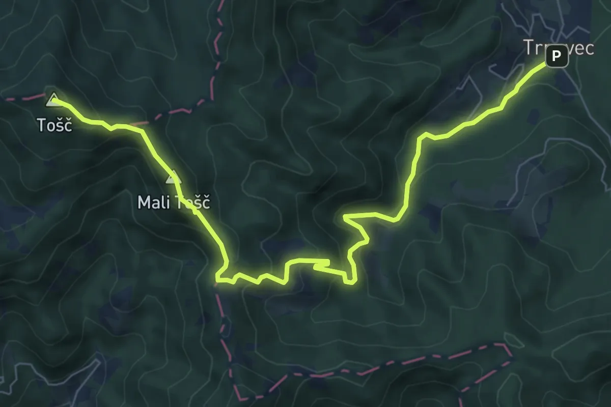
Medium · Summit
Trnovec - Gonte - Tošč
8.7 km · ↑ 629 m · 3 h 25 min · 8 km away
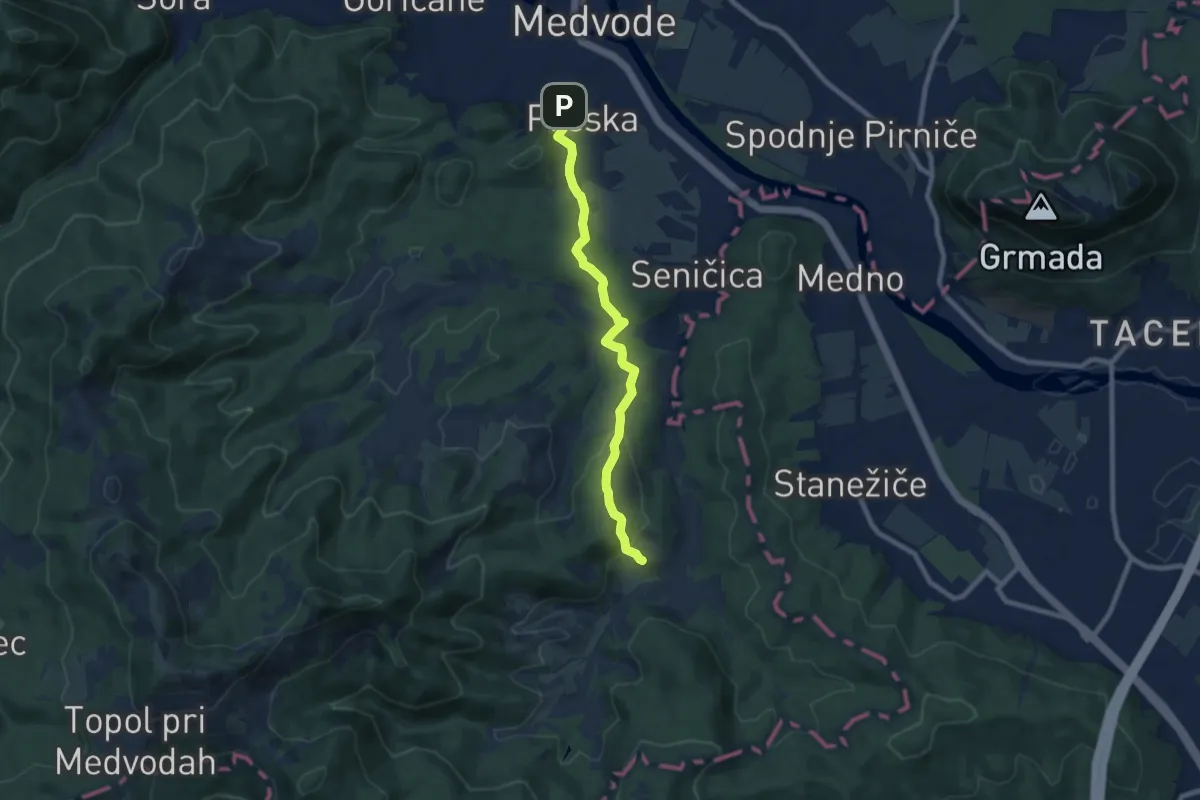
Easy · Trail
Preska - Slavkov dom
7.9 km · ↑ 317 m · 2 h 33 min · 9 km away
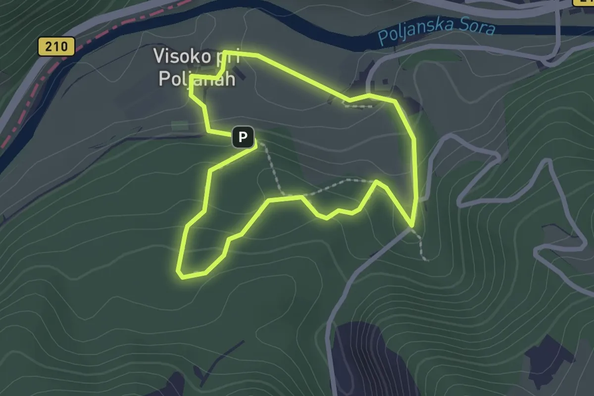
Easy · Trail
Gozdna učna pot Visoko
1.9 km · ↑ 84 m · 40 min · 9 km away
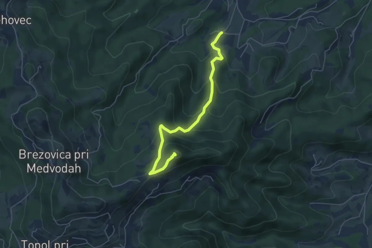
Medium · Summit
Žlebe - Jeterbenk
5.0 km · ↑ 315 m · 1 h 51 min · 9 km away
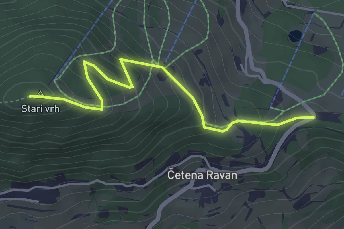
Medium · Summit
Preval - Stari vrh
3.9 km · ↑ 283 m · 1 h 32 min · 9 km away
Medium · Summit
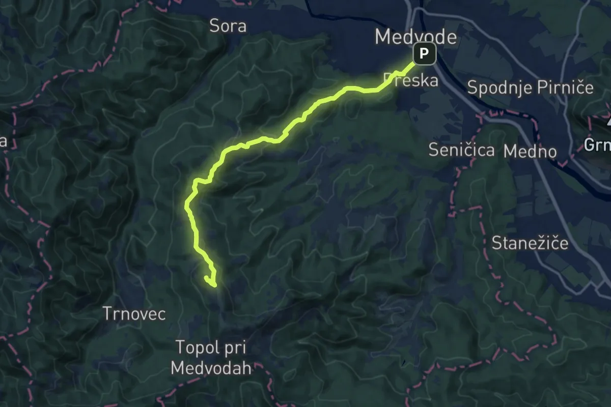
Preska - Sv. Jakob
13.8 km · ↑ 615 m · 4 h 36 min · 9 km away
Easy · Trail
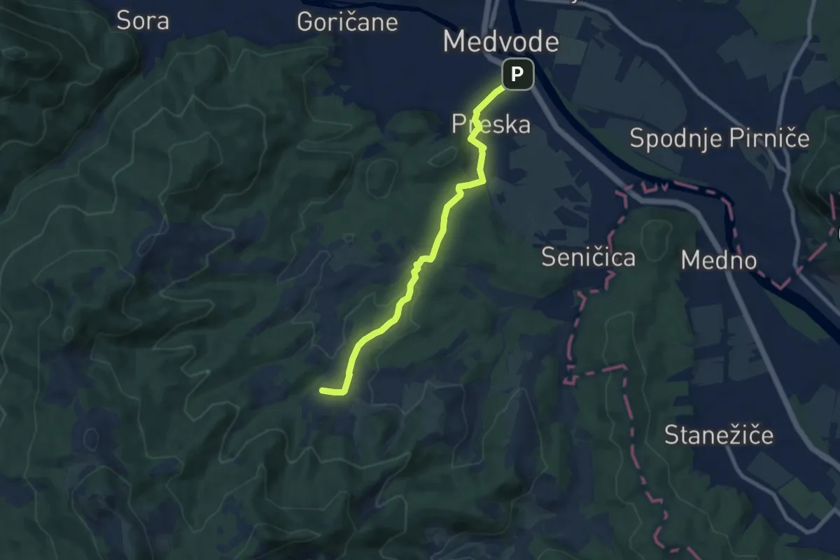
Preska - Žlebe
7.6 km · ↑ 193 m · 2 h 12 min · 9 km away
Medium · Summit
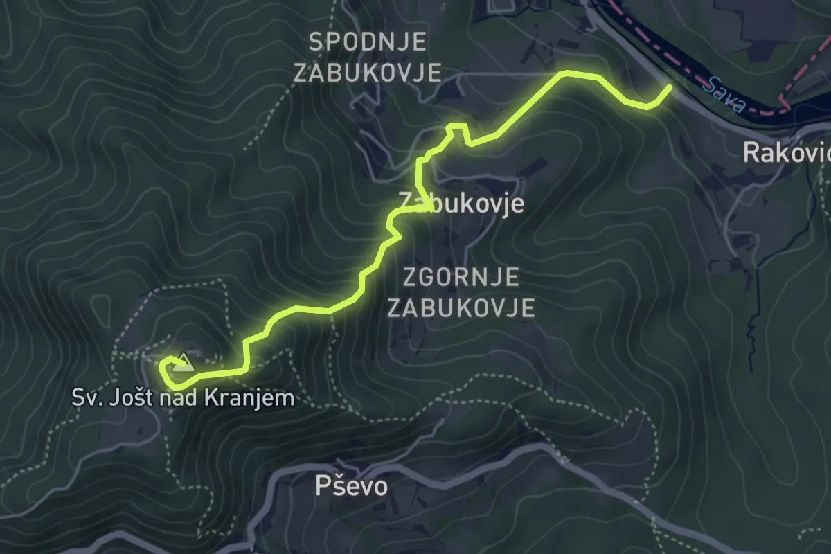
Rakovica - Sv. Jošt
5.0 km · ↑ 494 m · 2 h 15 min · 10 km away
Medium · Summit
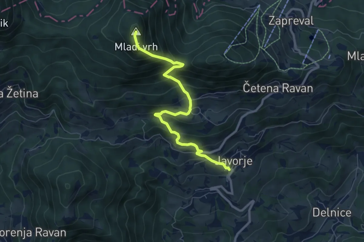
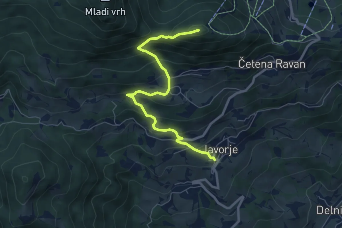
Javorje - Mladi vrh
6.9 km · ↑ 634 m · 3 h · 10 km away
Medium · Summit
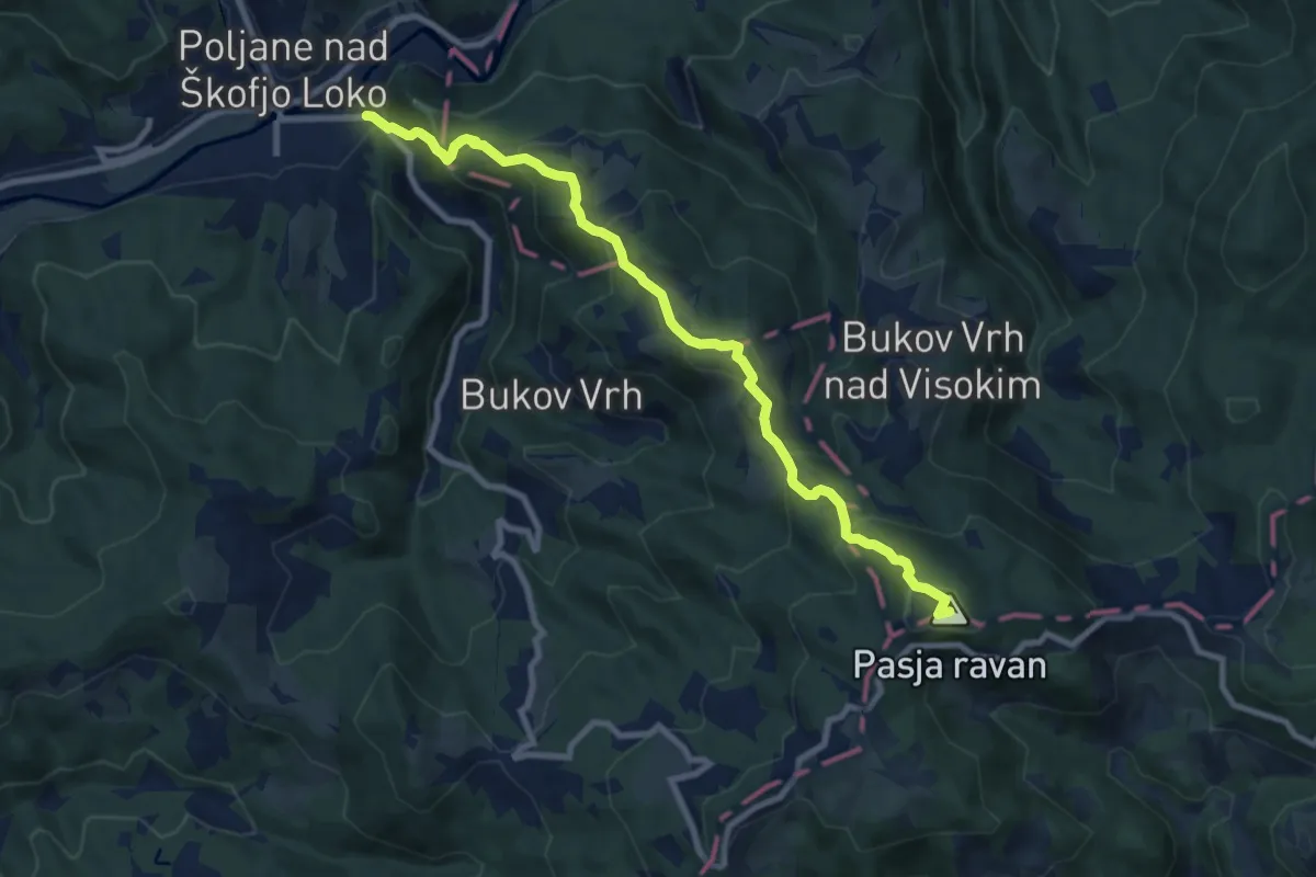
Javorje - Stari vrh
6.2 km · ↑ 495 m · 2 h 32 min · 10 km away
Medium · Summit
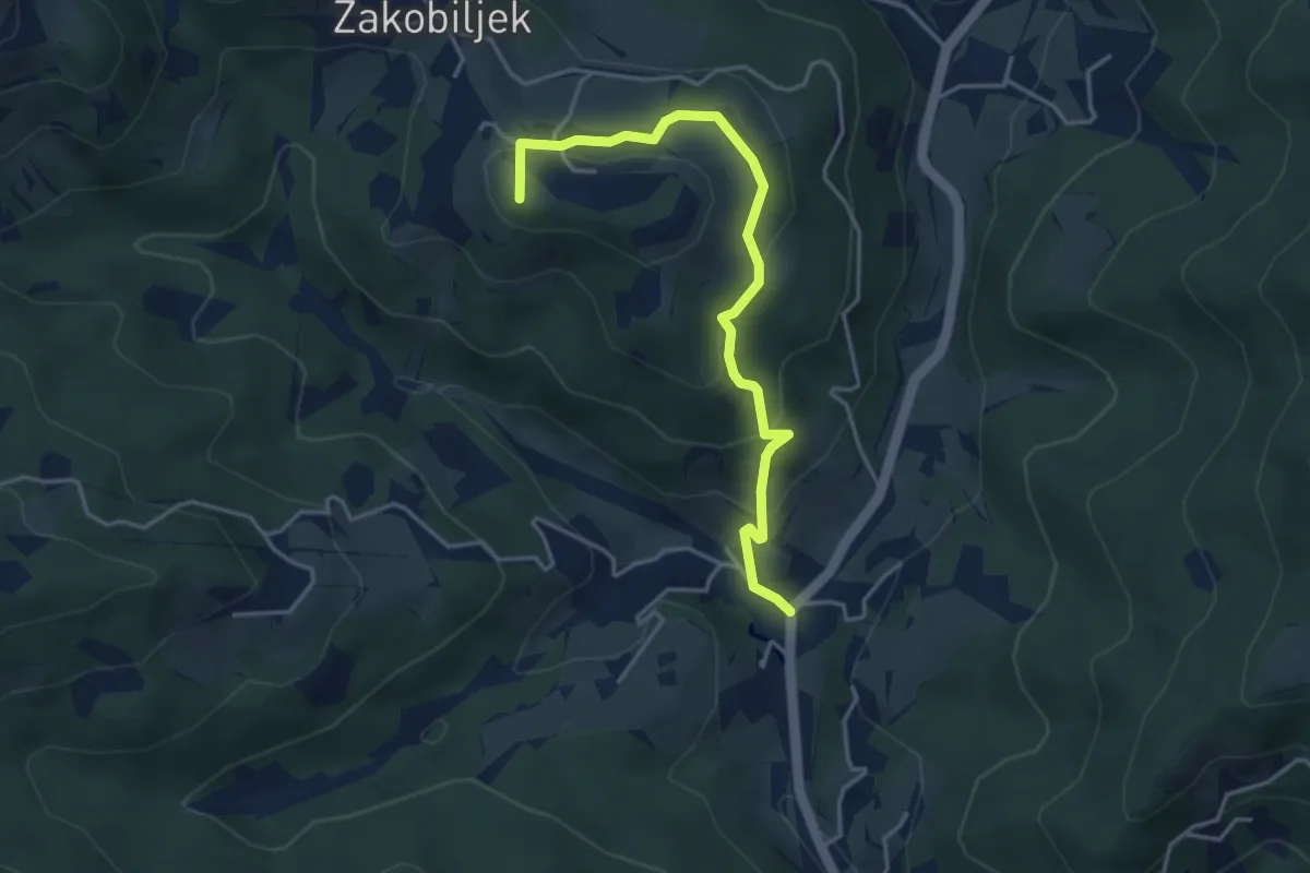
Hotovlja - Pasja ravan
9.2 km · ↑ 677 m · 3 h 38 min · 10 km away
Easy · Summit
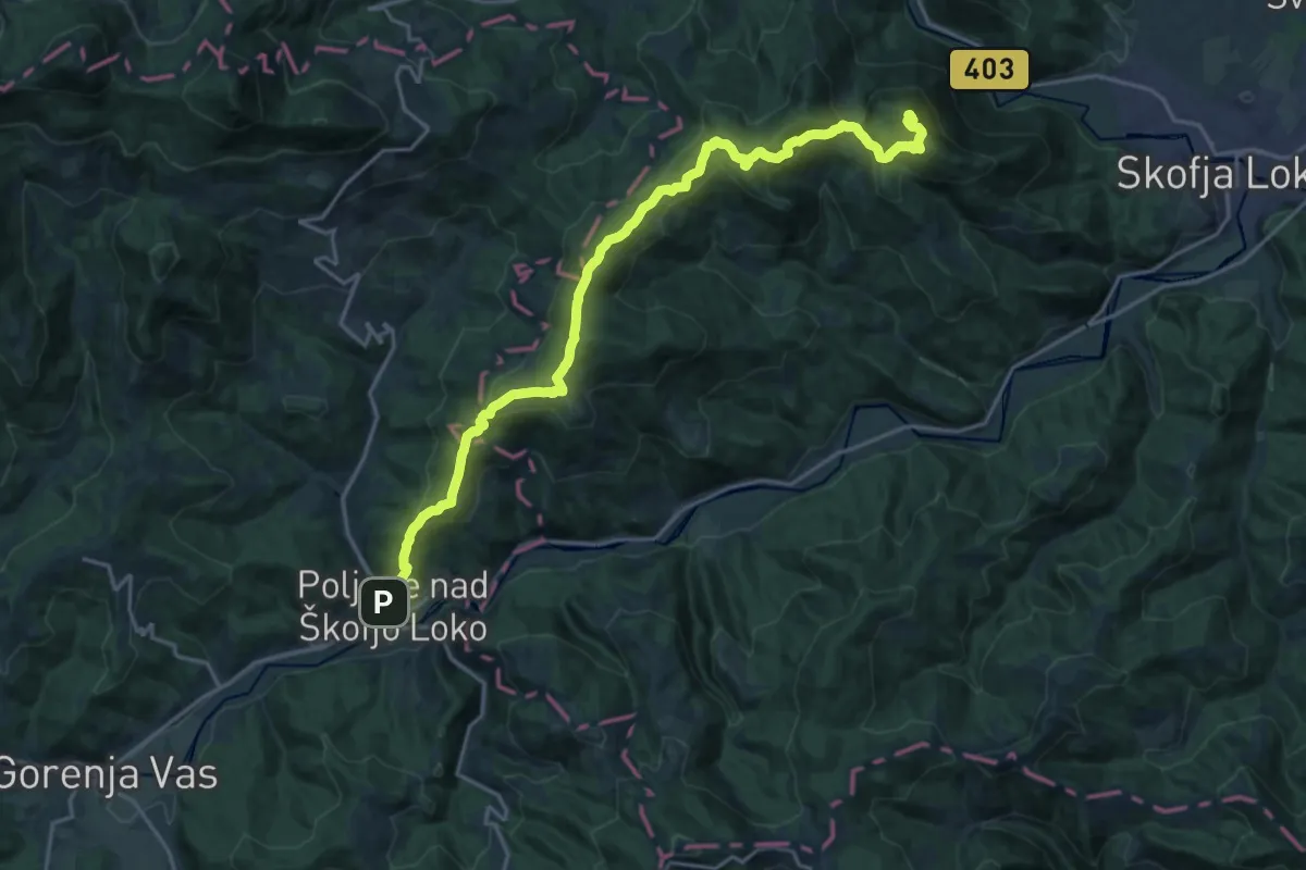
Volča - Gora
4.1 km · ↑ 218 m · 1 h 27 min · 10 km away
Demanding · Summit
Poljane - Lubnik
22.3 km · ↑ 1201 m · 7 h 53 min · 11 km away
Medium · Summit
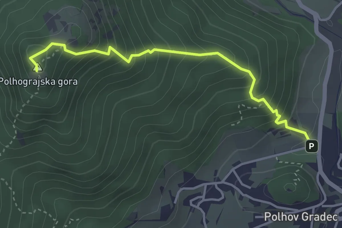
Polhov Gradec - Polhograjska gora
3.3 km · ↑ 406 m · 1 h 39 min · 11 km away
Demanding · Summit
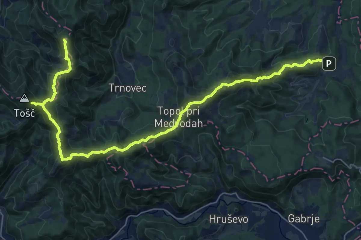
Kurirska pota Dolomitov
24.6 km · ↑ 1434 m · 8 h 55 min · 11 km away
Medium · Summit
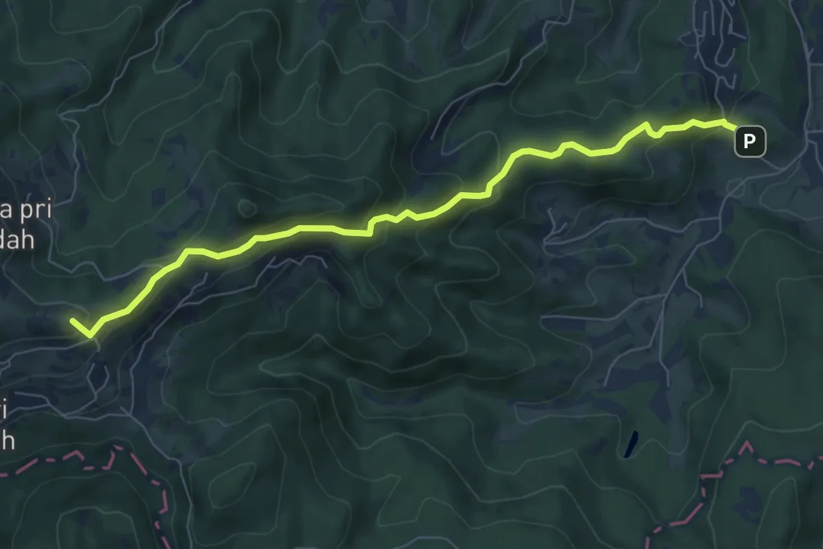
Slavkov dom - Sv. Katarina
7.4 km · ↑ 423 m · 2 h 40 min · 11 km away
Medium · Summit
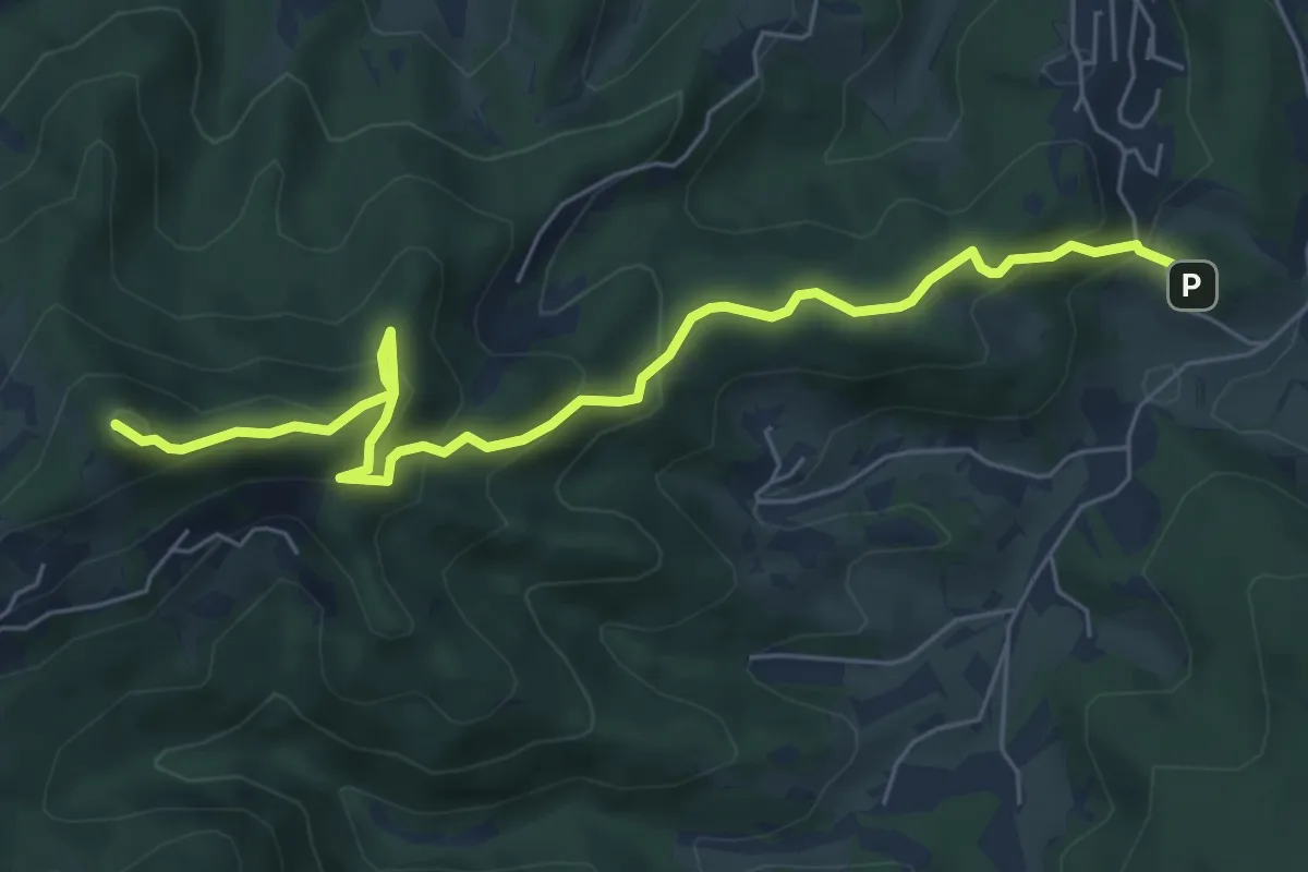
Slavkov dom - Petelinc - Jeterbenk
6.8 km · ↑ 470 m · 2 h 38 min · 11 km away
Medium · Summit
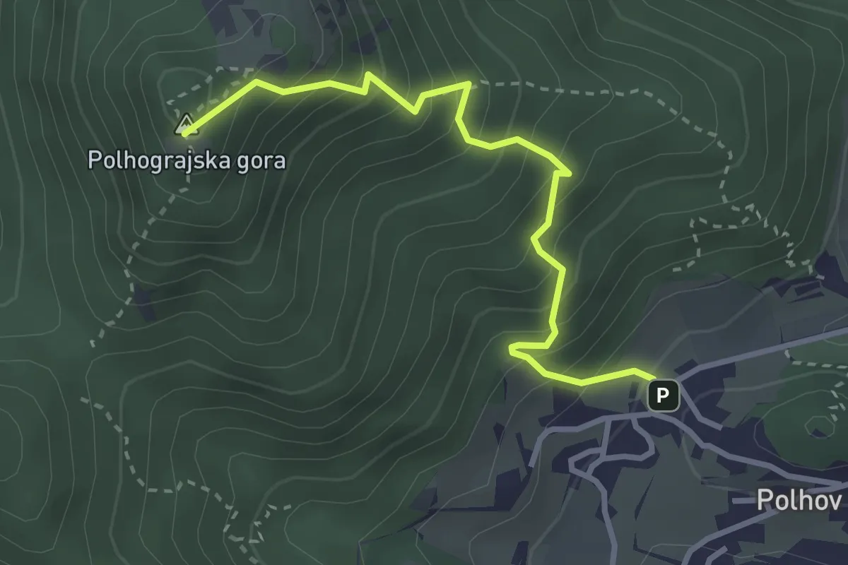
Grajski park – Polhograjska gora
3.1 km · ↑ 422 m · 1 h 39 min · 11 km away
Easy · Summit
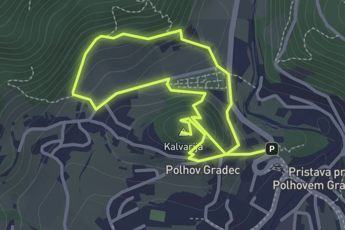
Blagajeva pot
4.2 km · ↑ 224 m · 1 h 29 min · 11 km away
Demanding · Trail
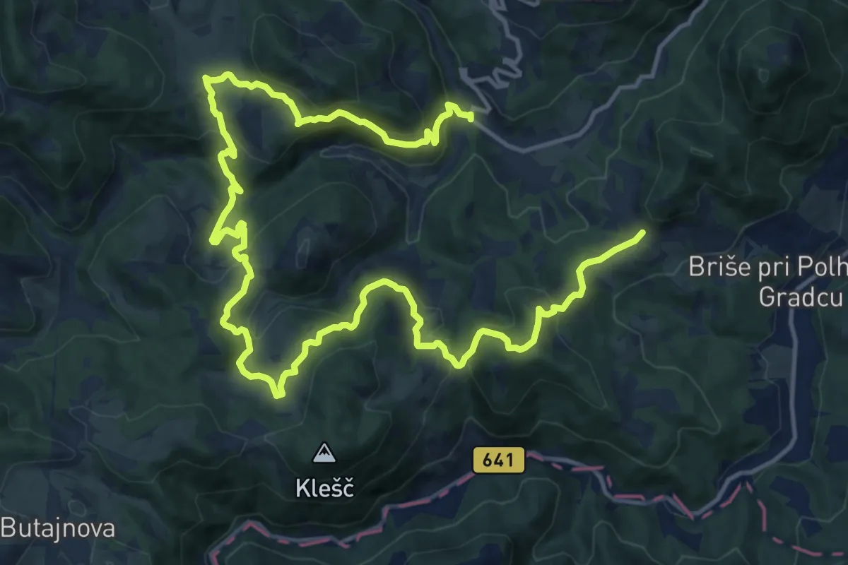
Setnik - Srednji Vrh - Praproče
20.7 km · ↑ 1114 m · 7 h 18 min · 11 km away
Demanding · Summit
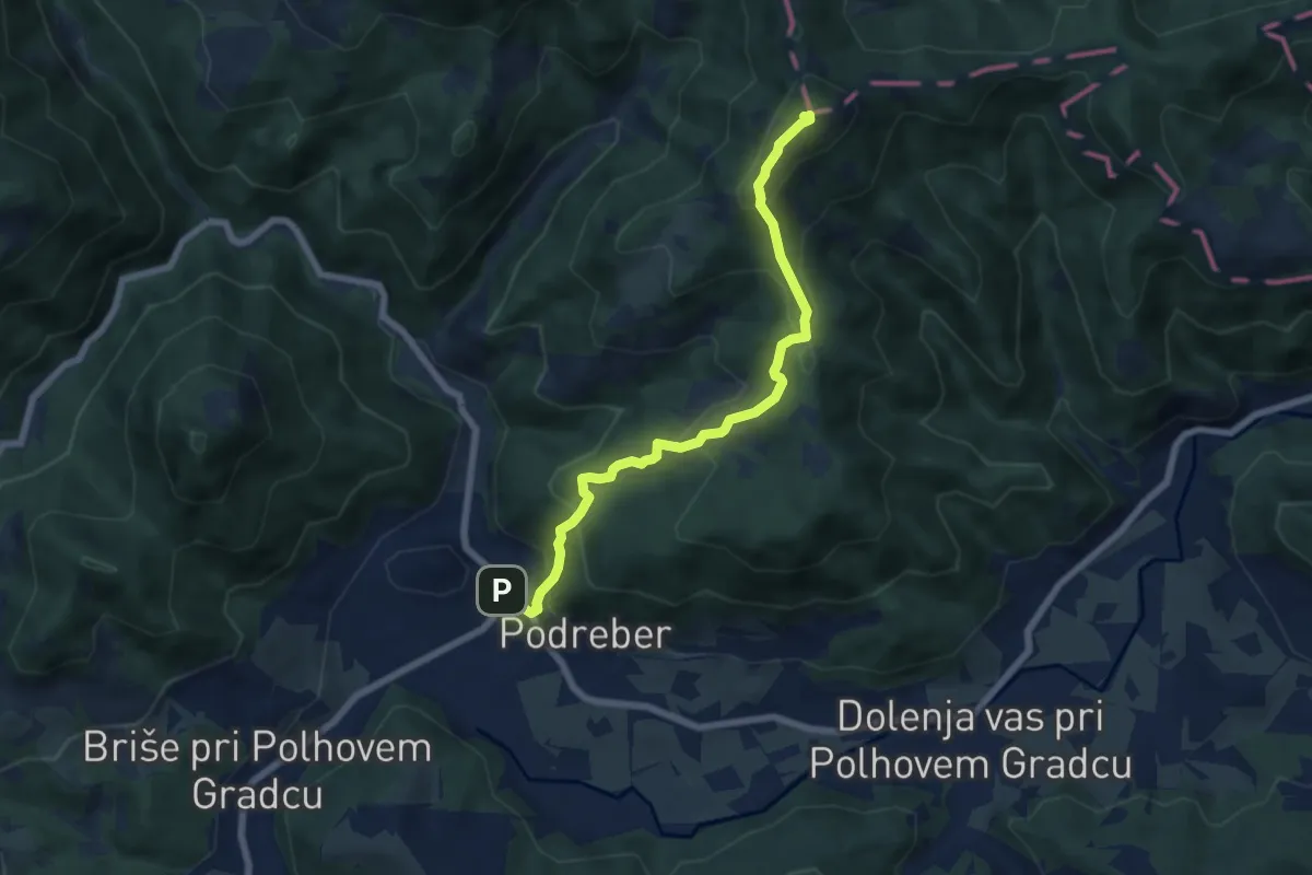
Polhov Gradec - Ravnek - Grmada
6.8 km · ↑ 508 m · 2 h 42 min · 11 km away
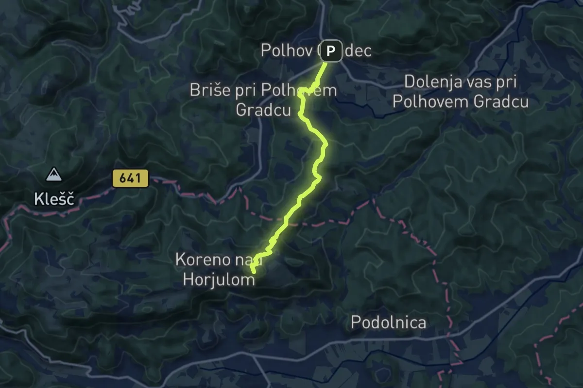
Medium · Summit
Polhov Gradec - Koreno
9.7 km · ↑ 423 m · 3 h 12 min · 11 km away
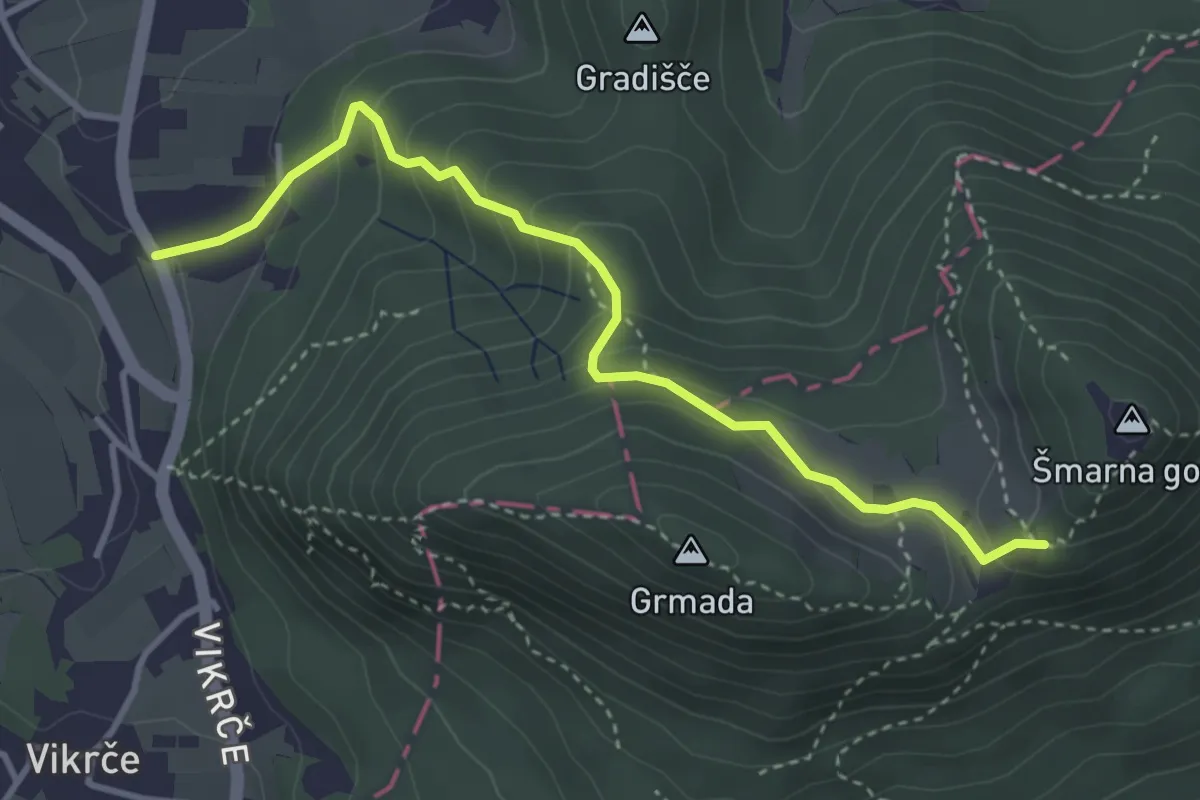
Medium · Trail
Pot čez Peske
3.8 km · ↑ 272 m · 1 h 29 min · 11 km away
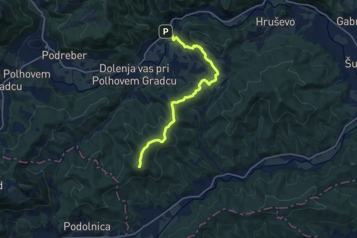
Medium · Summit
Belica - Ključ
11.2 km · ↑ 455 m · 3 h 38 min · 11 km away
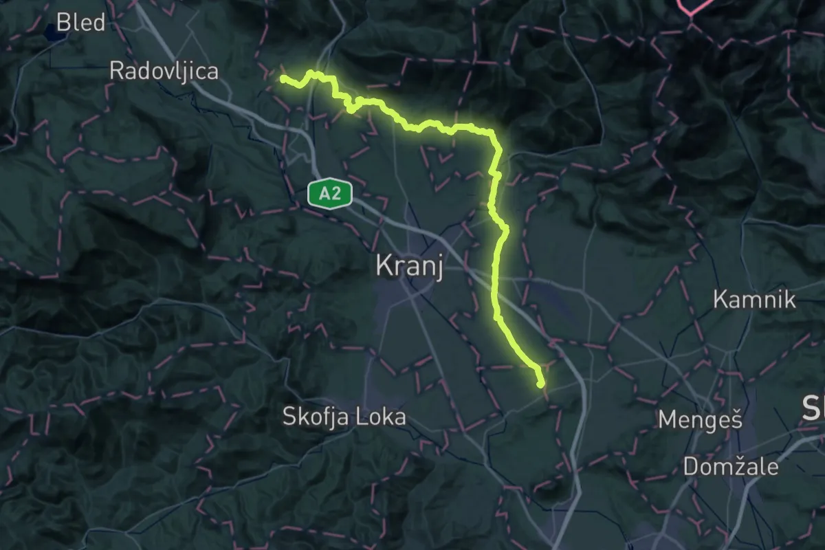
Demanding · Summit
Jakobova pot – Preddvorska veja
34.5 km · ↑ 594 m · 9 h 49 min · 11 km away
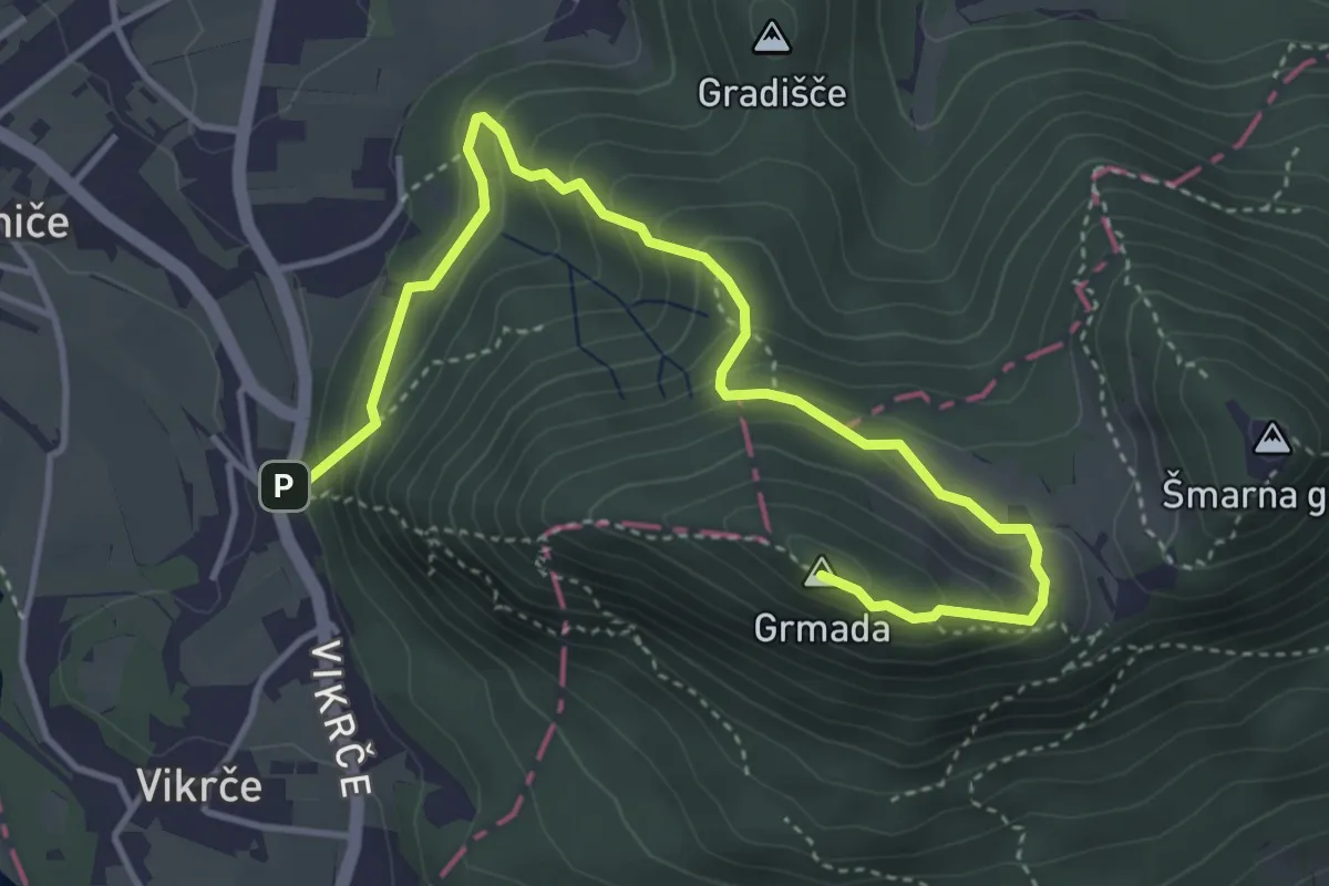
Medium · Summit
Gozdna učna pot po šmarnogorski Grmadi
4.8 km · ↑ 361 m · 1 h 56 min · 11 km away
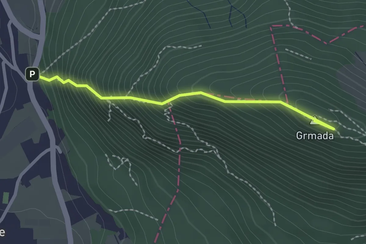
Demanding · Summit
Westrova pot
2.0 km · ↑ 320 m · 1 h 10 min · 11 km away
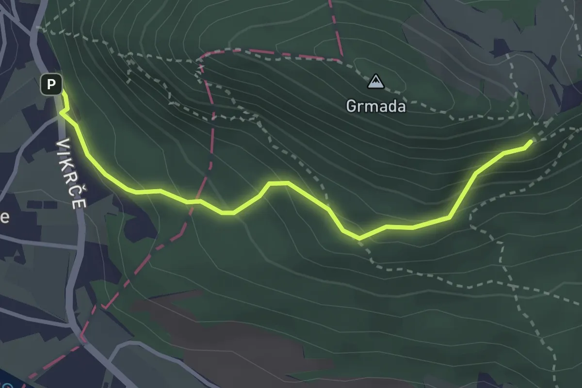
Medium · Trail
Pot čez Zatrep in Zgornjo Kuhinjo
3.0 km · ↑ 257 m · 1 h 16 min · 11 km away
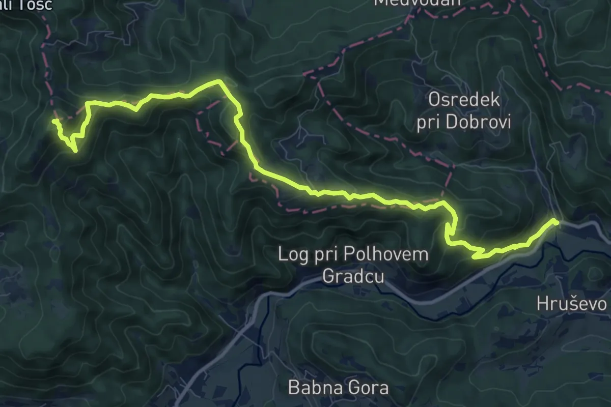
Demanding · Summit
Gabrje - Grmada
12.1 km · ↑ 814 m · 4 h 37 min · 12 km away