Trails near Slovenske Konjice
92 hikes starting within 15 km, nearest first.
Nearest first, page 2 of 2
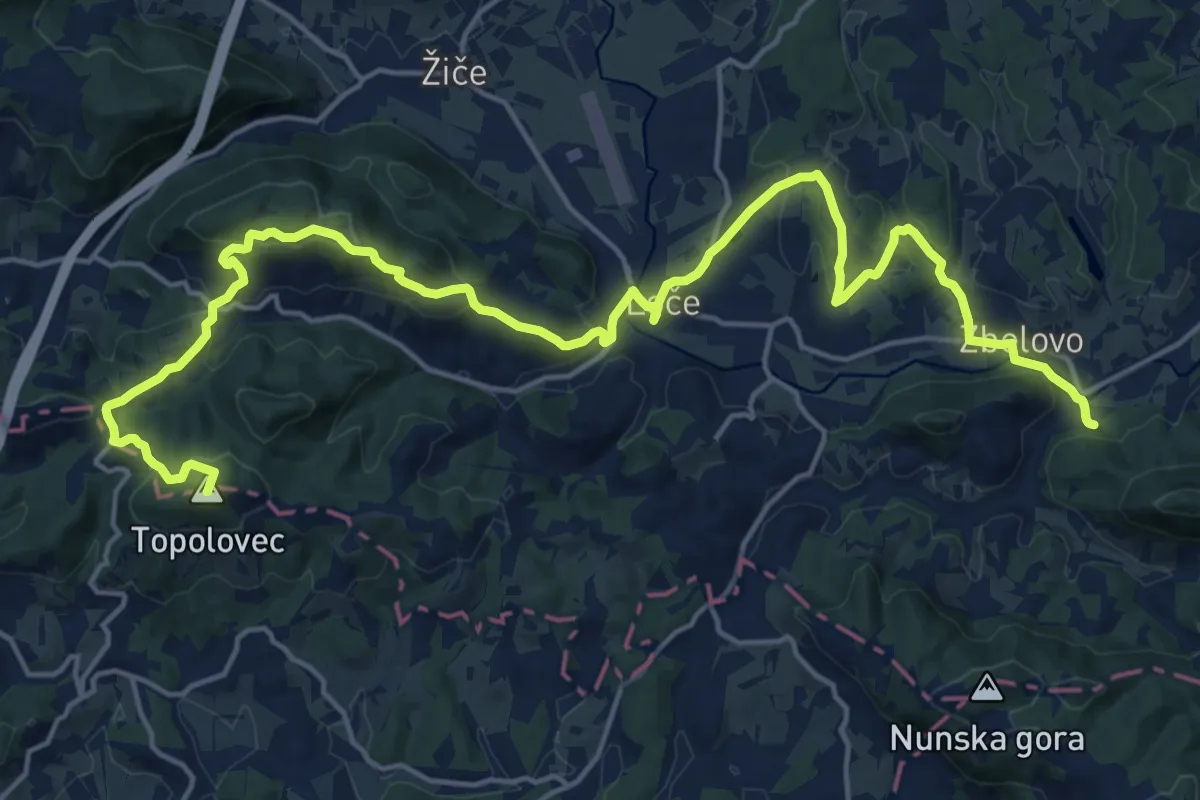
Demanding · Summit
Loško-zbelovska pot
23.9 km · ↑ 703 m · 7 h 10 min · 10 km away
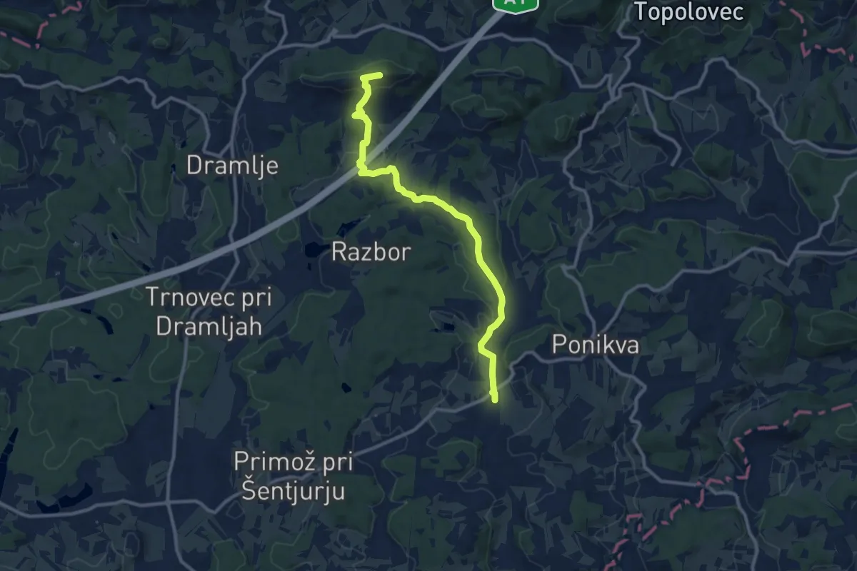
Medium · Summit
Ponikva - Sv. Uršula
10.6 km · ↑ 246 m · 3 h 2 min · 10 km away
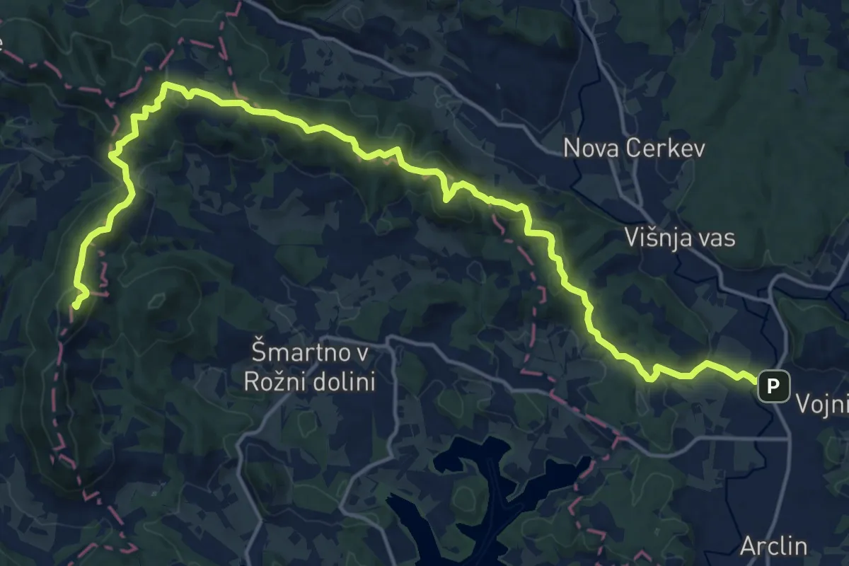
Demanding · Summit
Vojnik - Sv. Kunigunda
21.3 km · ↑ 996 m · 7 h 11 min · 11 km away
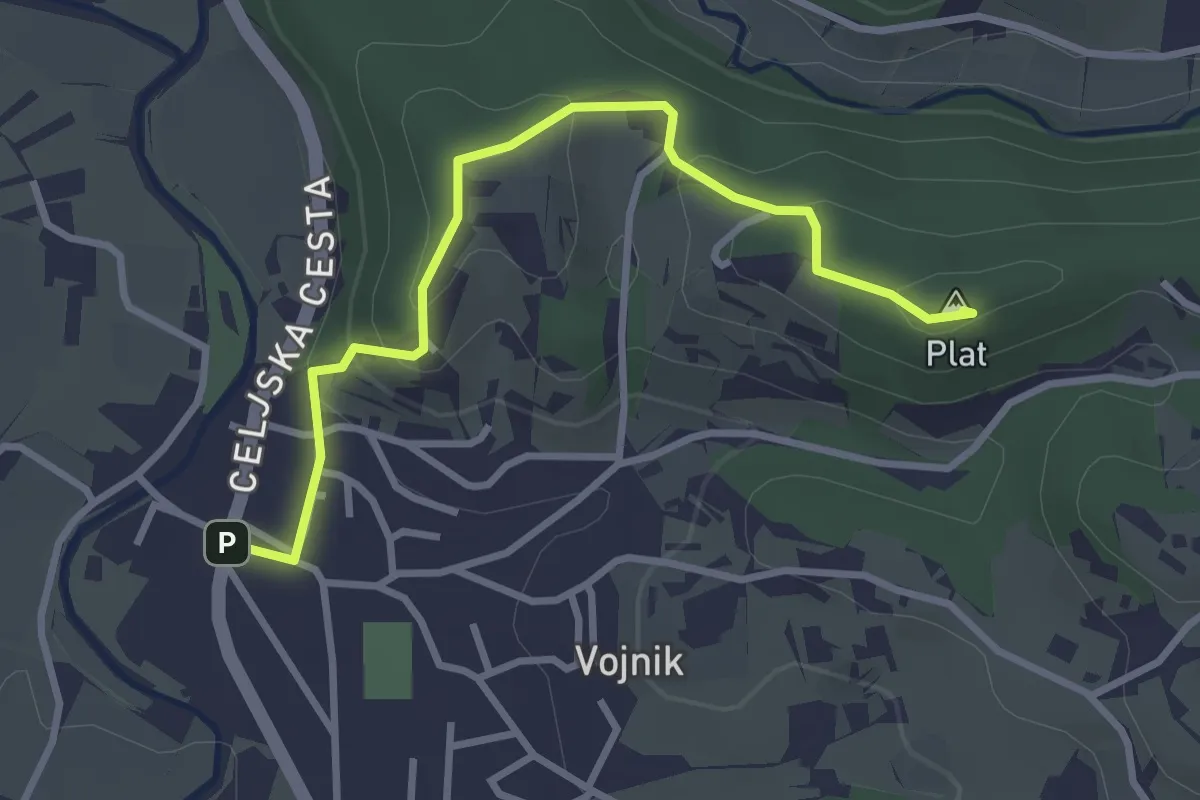
Easy · Summit
Vojnik - Sv. Tomaž
3.2 km · ↑ 164 m · 1 h 7 min · 11 km away
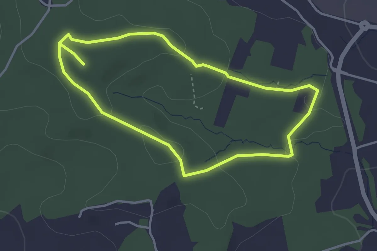
Easy · Trail
Močeradova pot
3.0 km · ↑ 61 m · 52 min · 11 km away
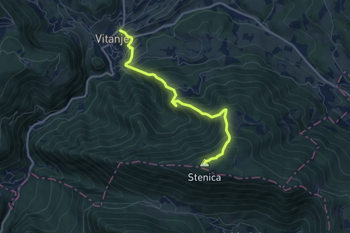
Medium · Summit
Vitanje - Stenica
6.9 km · ↑ 629 m · 3 h · 11 km away
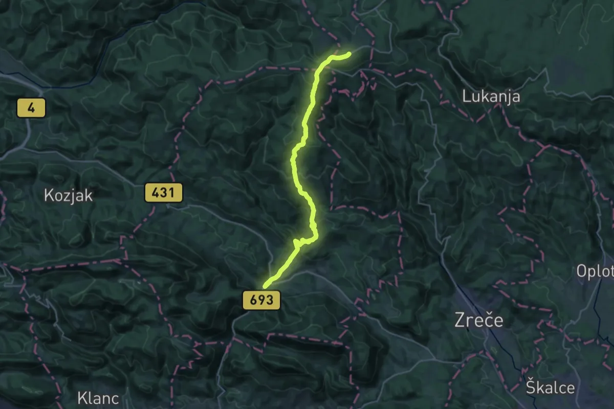
Demanding · Trail
Vitanje - Rogla
22.2 km · ↑ 1183 m · 7 h 49 min · 11 km away
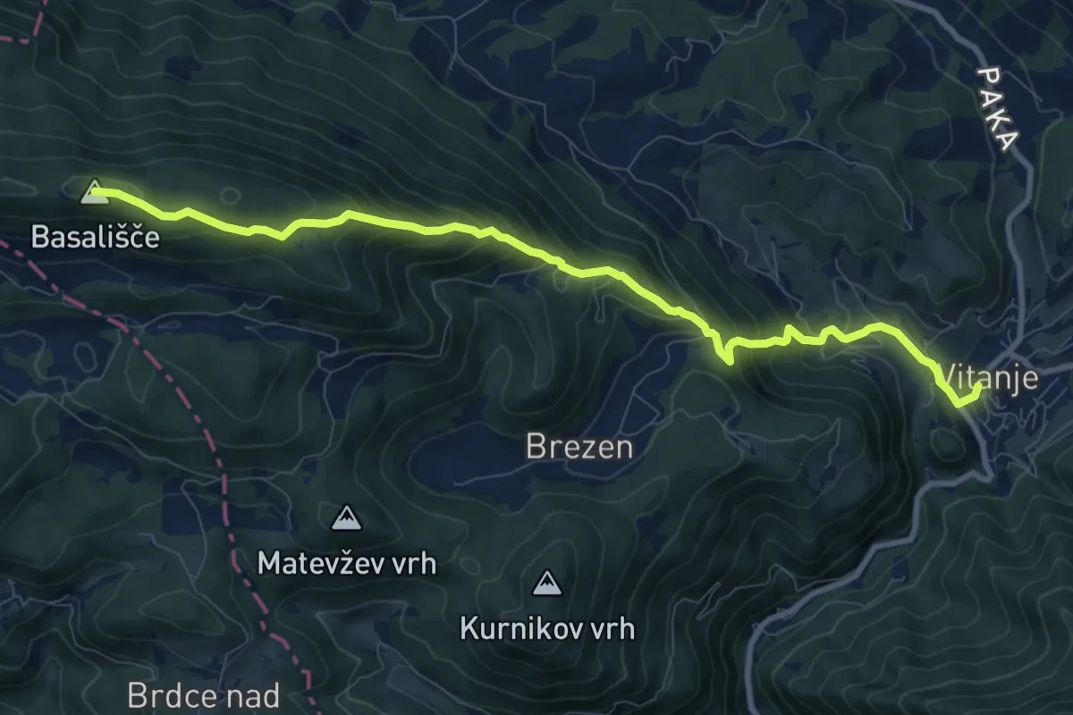
Demanding · Summit
Vitanje - Basališče
10.1 km · ↑ 811 m · 4 h 8 min · 11 km away
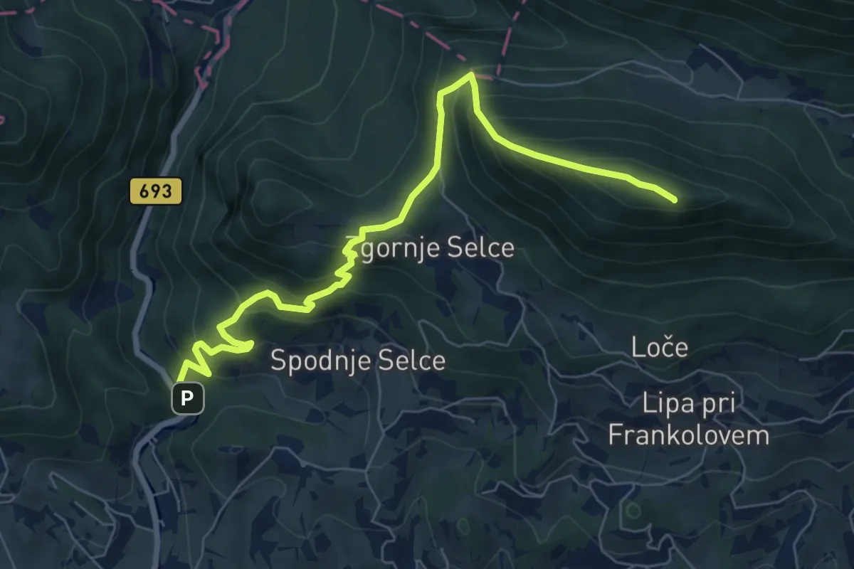
Medium · Summit
Socka - Kislica - Špičasti vrh
7.7 km · ↑ 660 m · 3 h 14 min · 11 km away
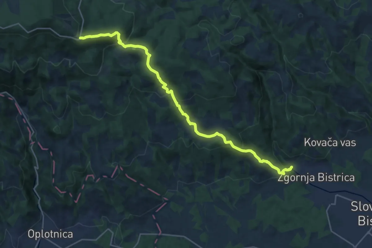
Demanding · Cabin
Slovenska Bistrica - Veliko Tinje - Trije Kralji
18.5 km · ↑ 896 m · 6 h 18 min · 12 km away
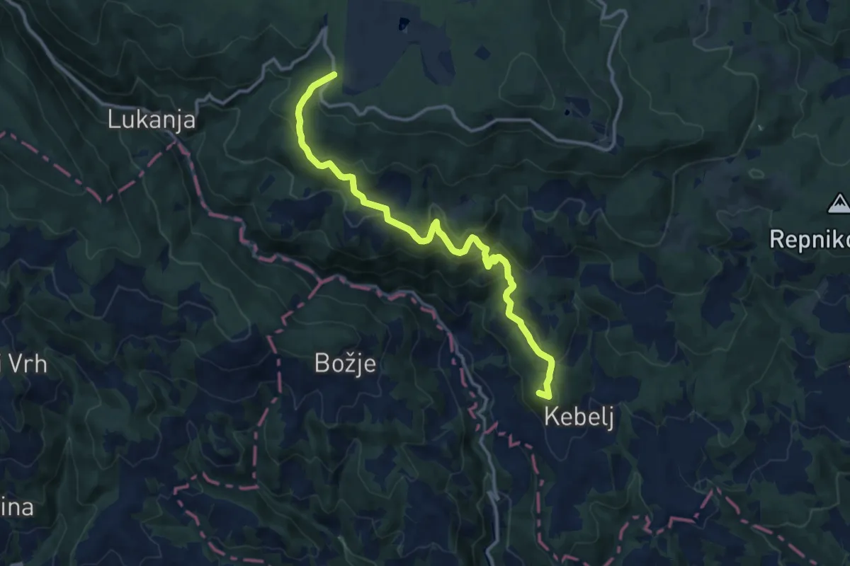
Medium · Summit
Kebeljska transverzala
12.6 km · ↑ 669 m · 4 h 25 min · 12 km away
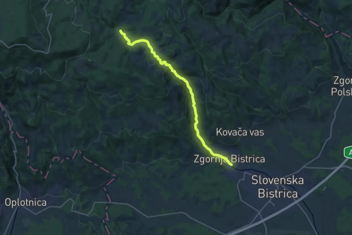
Medium · Trail
Slovenska Bistrica - Bistriški vintgar - Močnik
15.6 km · ↑ 595 m · 4 h 59 min · 12 km away
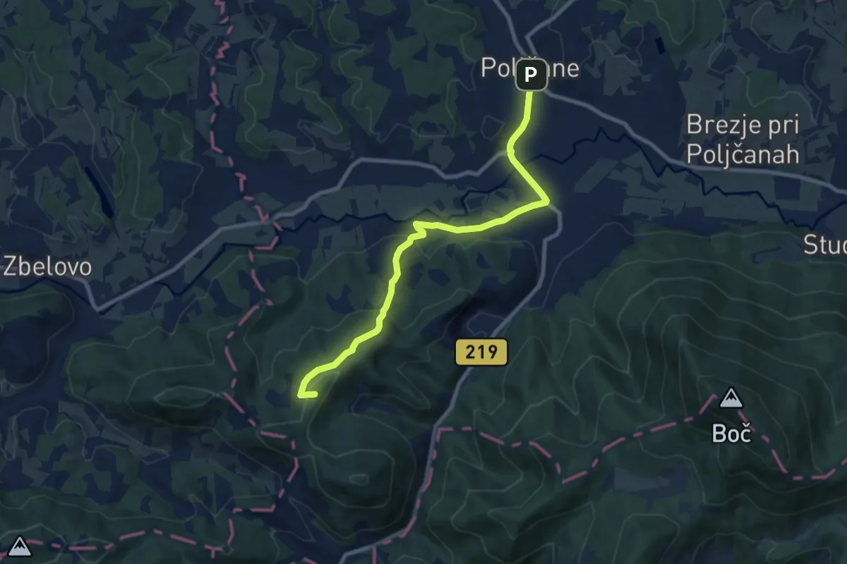
Medium · Summit
Poljčane - Lovnik - Pečica
8.7 km · ↑ 317 m · 2 h 44 min · 12 km away
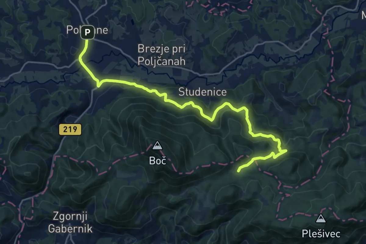
Medium · Trail
Poljčane - Podboč - Formila
17.8 km · ↑ 779 m · 5 h 53 min · 12 km away
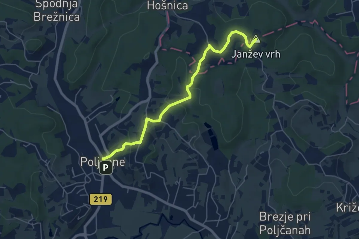
Easy · Summit
Poljčane - Sv. trije kralji
5.0 km · ↑ 182 m · 1 h 35 min · 12 km away
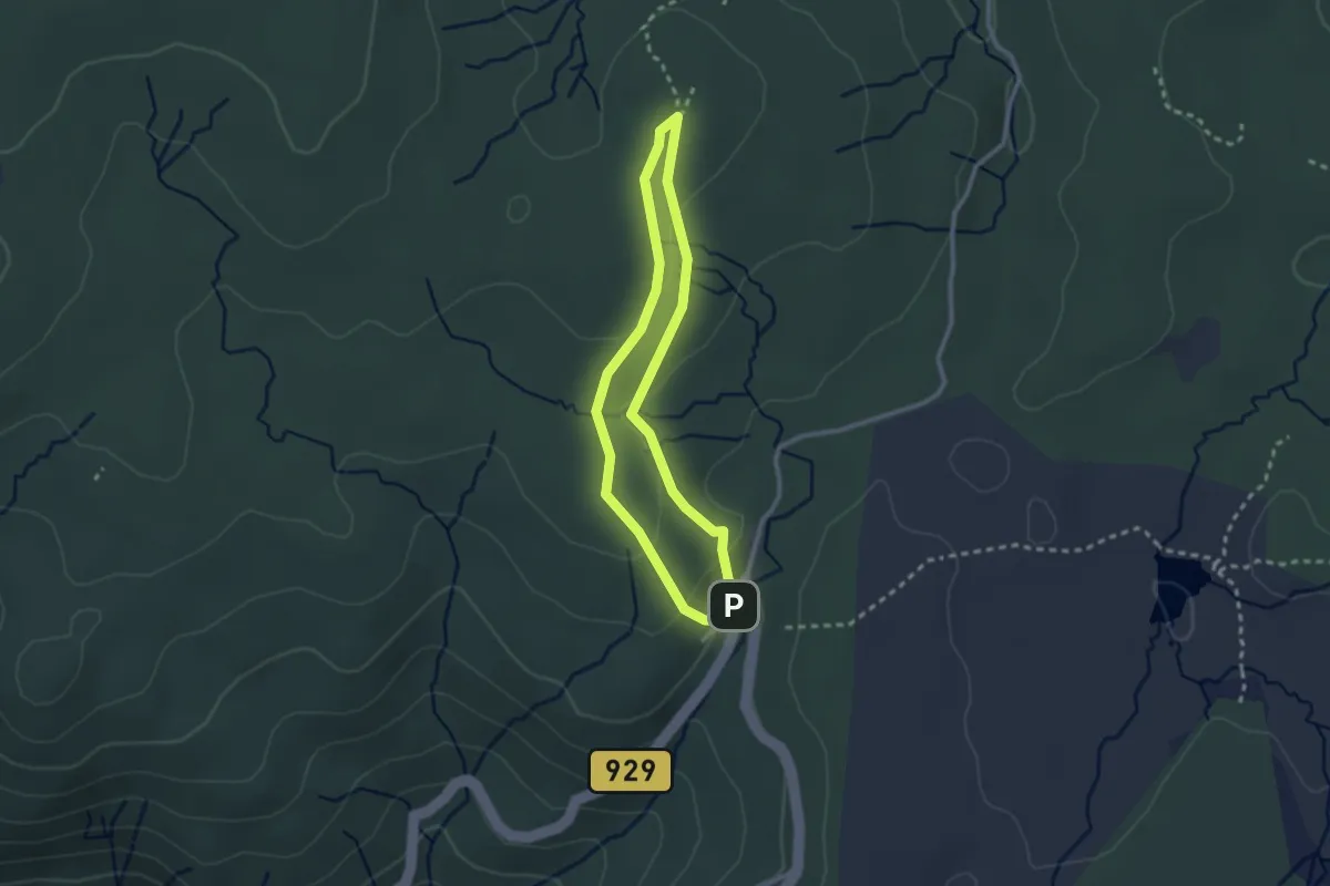
Easy · Cabin
Krožna pot na bojišče Pohorskega bataljona
2.2 km · ↑ 62 m · 41 min · 12 km away
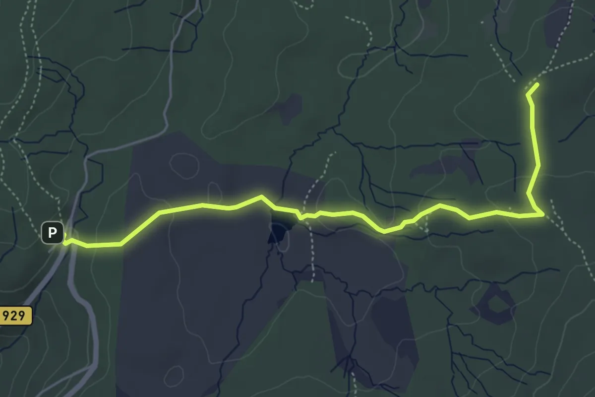
Easy · Summit
015 ~ Pot kurirjev in vezistov NOV Slovenije
5.7 km · ↑ 142 m · 1 h 39 min · 12 km away
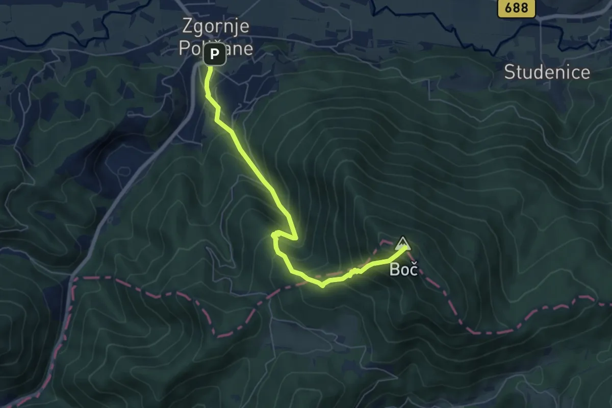
Medium · Summit
Zg. Poljčane - Boč
6.2 km · ↑ 705 m · 3 h · 13 km away
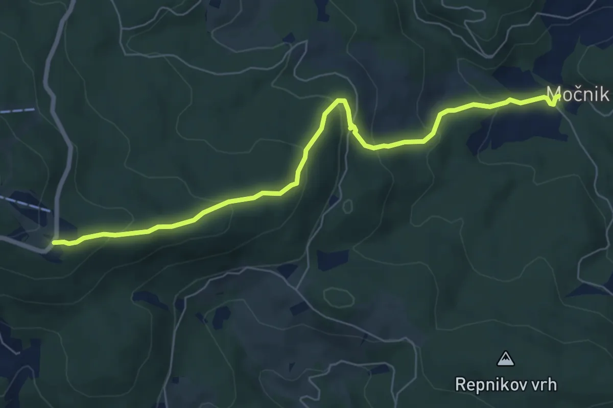
Medium · Cabin
Močnik - Trije kralji
6.9 km · ↑ 379 m · 2 h 27 min · 13 km away
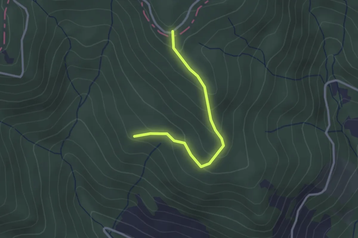
Easy · Trail
Arbajter - Rogla
2.3 km · ↑ 144 m · 52 min · 13 km away
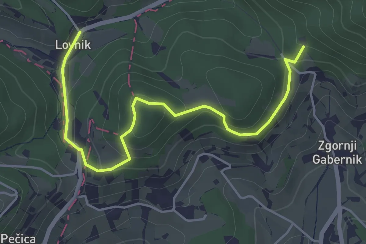
Easy · Trail
Pot po vinskih goricah na Boč
4.5 km · ↑ 207 m · 1 h 30 min · 13 km away
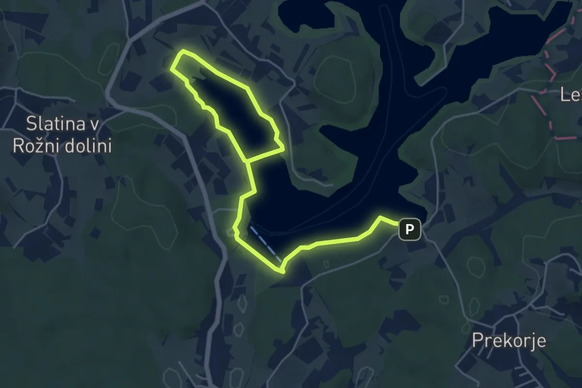
Easy · Trail
Ekosistemska učna pot Šmartinsko jezero
6.5 km · ↑ 65 m · 1 h 41 min · 14 km away
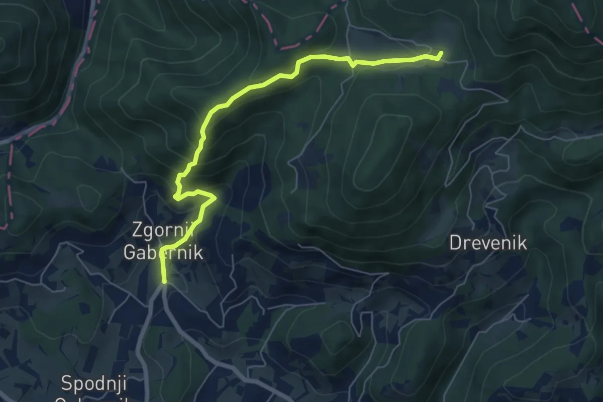
Medium · Cabin
Zg. Gabernik - Dom na Boču
6.0 km · ↑ 466 m · 2 h 25 min · 14 km away
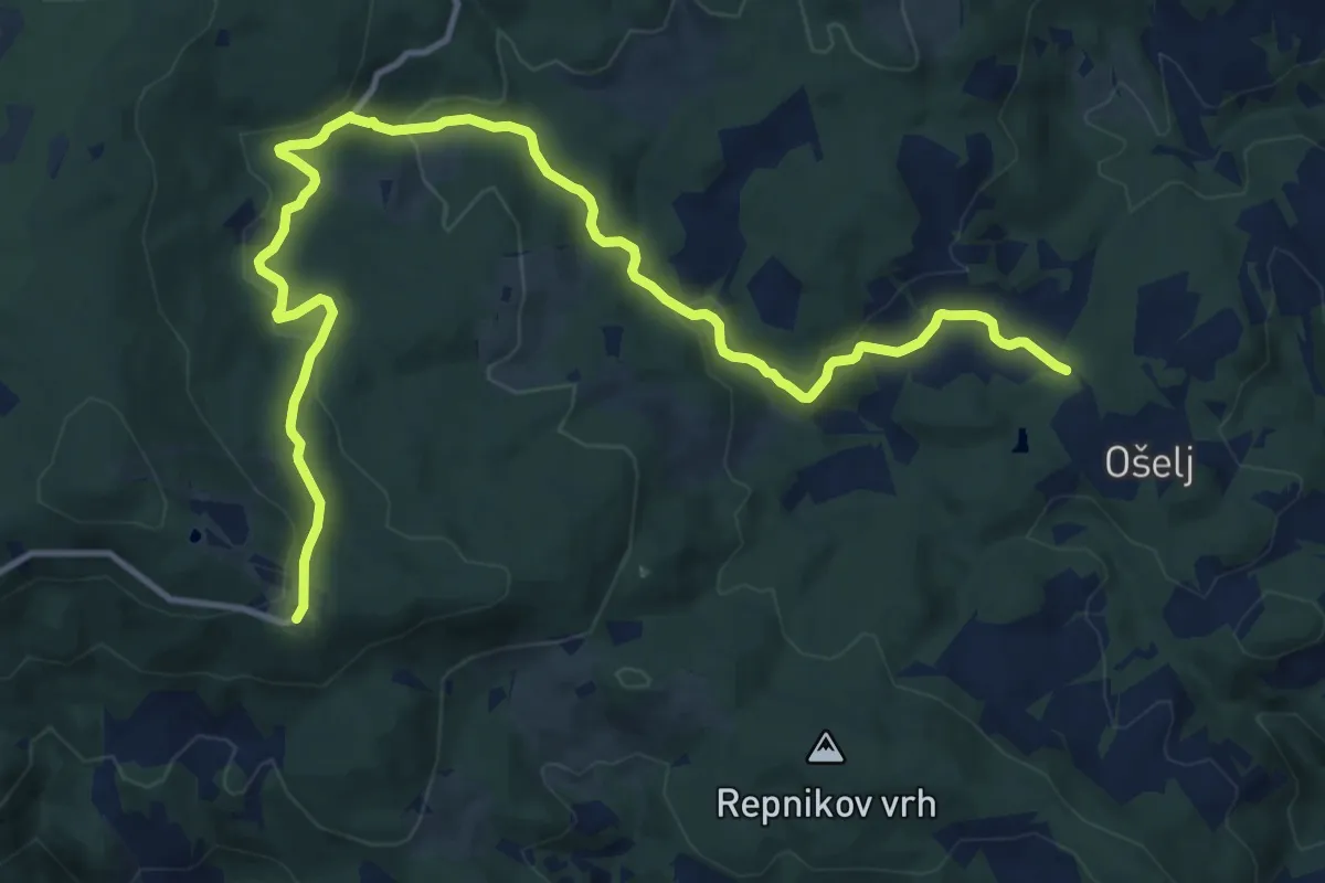
Medium · Cabin
Ramšak - Bolnišnica Jesen - Trije kralji
15.3 km · ↑ 505 m · 4 h 42 min · 14 km away
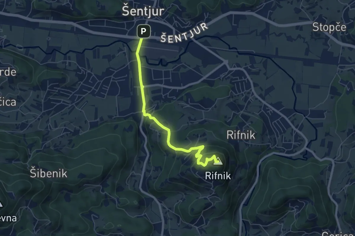
Easy · Summit
Šentjur - Rifnik
6.2 km · ↑ 306 m · 2 h 8 min · 14 km away
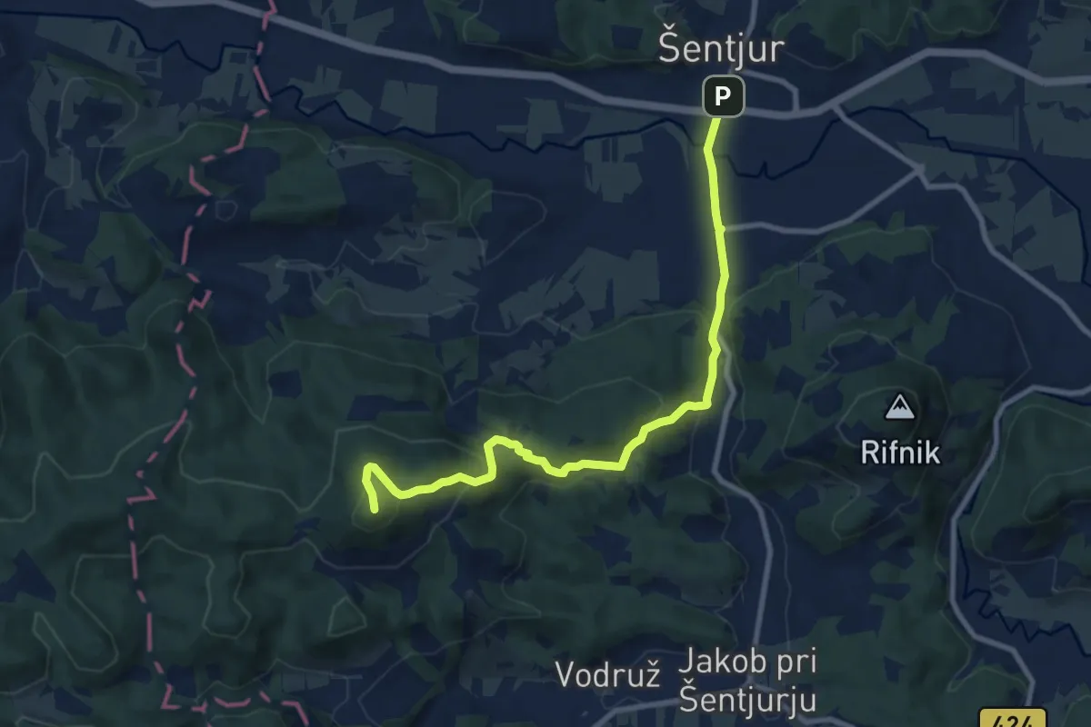
Medium · Summit
Šentjur - Ferležev mlin - Resevna
9.2 km · ↑ 470 m · 3 h 12 min · 14 km away
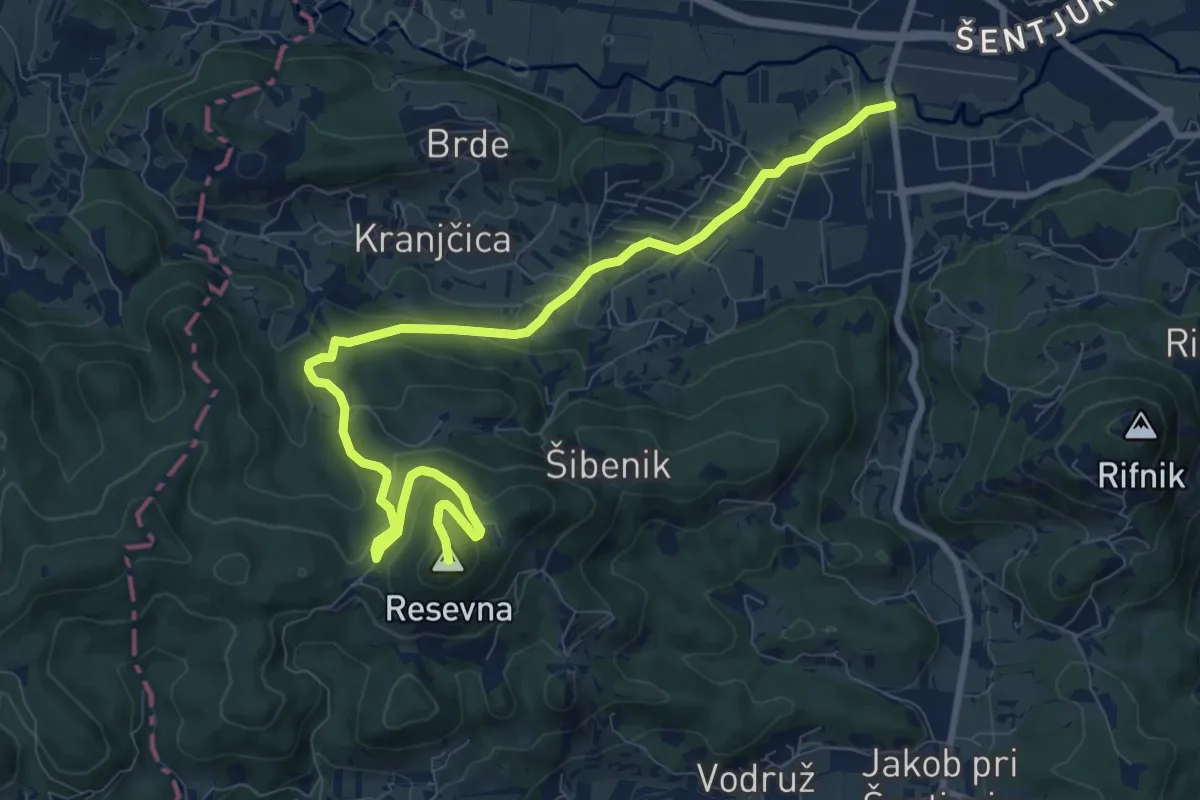
Medium · Summit
Šentjur - Resevna (po cesti)
10.8 km · ↑ 449 m · 3 h 32 min · 14 km away
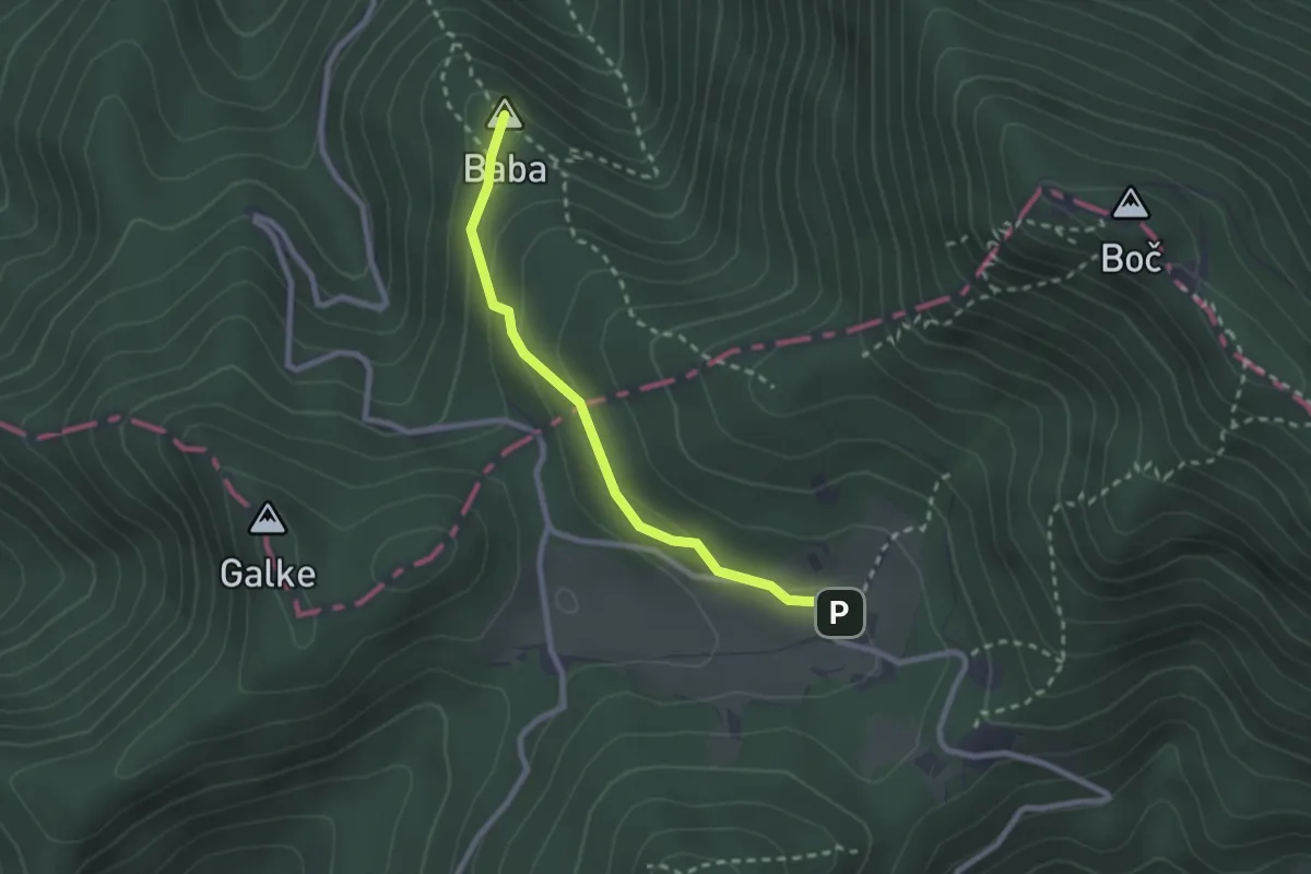
Medium · Summit
Zg. Poljčane - Baba - Dom na Boču
2.3 km · ↑ 85 m · 44 min · 14 km away
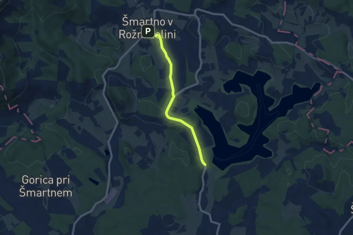
Easy · Trail
Šmartno v Rožni dolini - Šmartinsko jezero
5.0 km · ↑ 118 m · 1 h 26 min · 14 km away
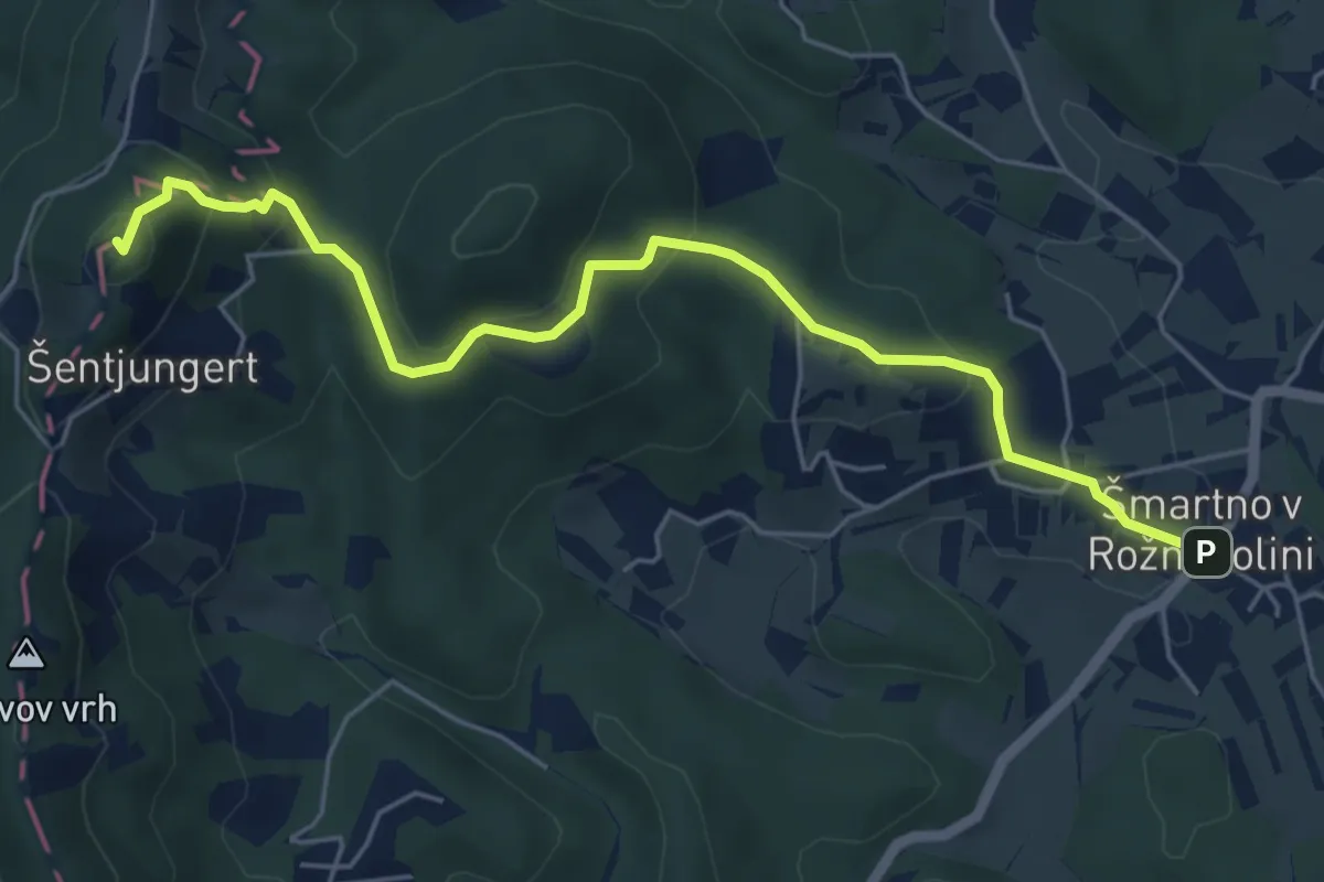
Easy · Summit
Šmartno v Rožni dolini - Pl. dom Šentjugert
5.9 km · ↑ 297 m · 2 h 2 min · 14 km away
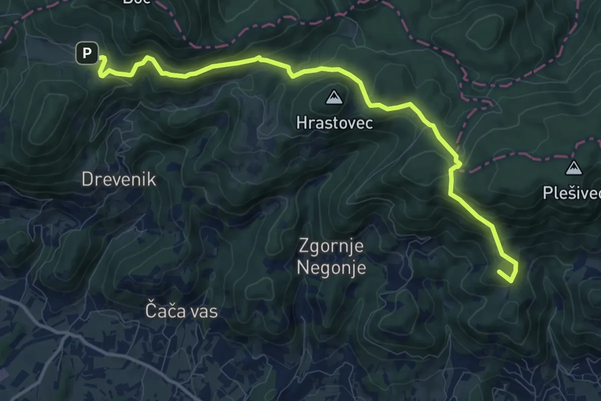
Medium · Summit
Cerovec - Dom na Boču
11.4 km · ↑ 561 m · 3 h 54 min · 14 km away
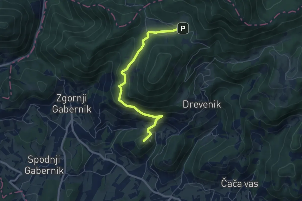
Medium · Summit
Zg. Kostrivnica - Velikonočnica - Dom na Boču
5.9 km · ↑ 369 m · 2 h 12 min · 14 km away
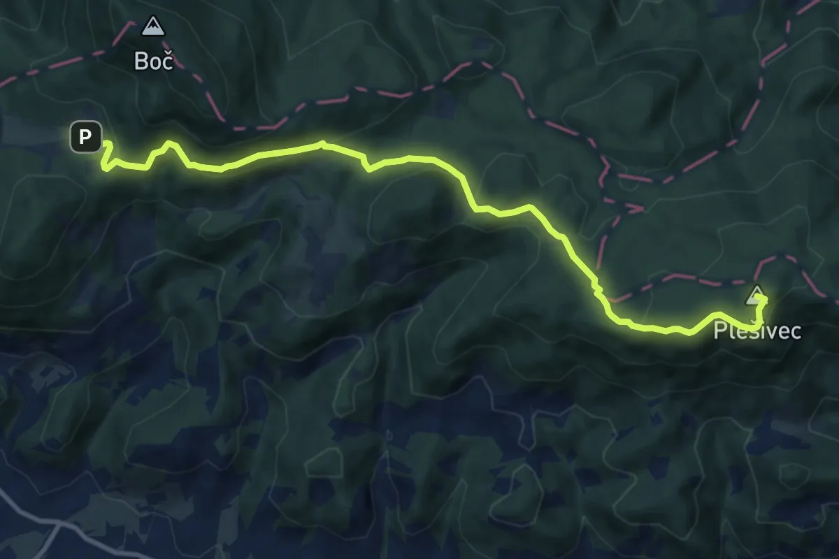
Medium · Summit
Dom na Boču - Rudijev dom
11.6 km · ↑ 420 m · 3 h 39 min · 14 km away
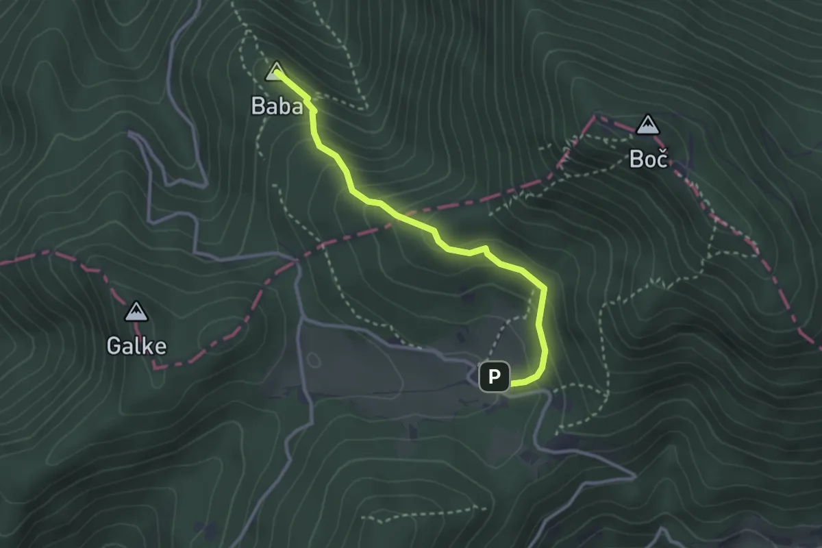
Medium · Summit
Detičkova pot
2.9 km · ↑ 243 m · 1 h 12 min · 14 km away
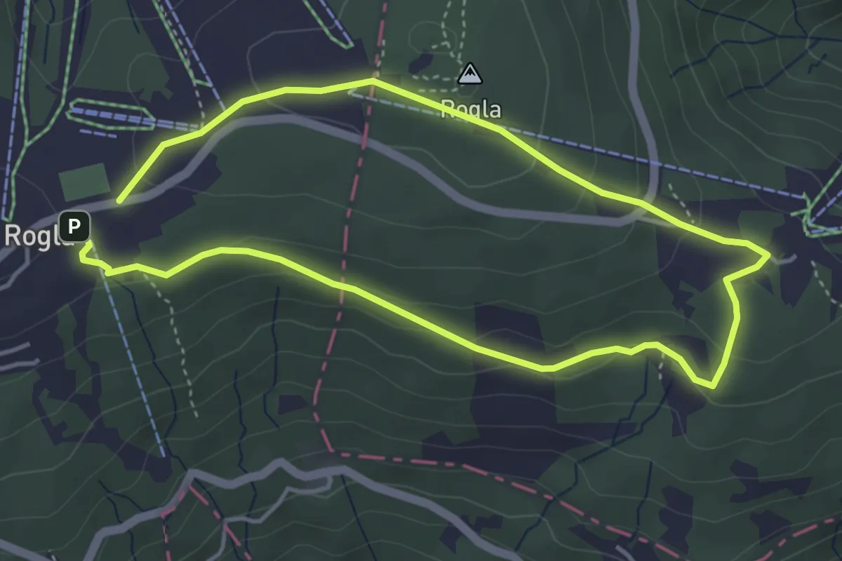
Easy · Summit
Škratova pot
3.7 km · ↑ 125 m · 1 h 12 min · 15 km away
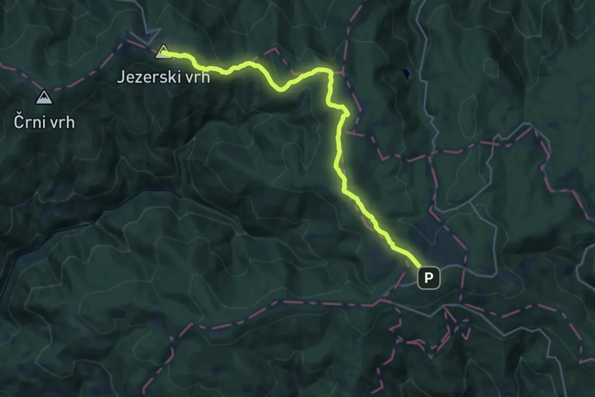
Demanding · Summit
018 ~ Pot kurirjev in vezistov NOV Slovenije
18.9 km · ↑ 607 m · 5 h 47 min · 15 km away
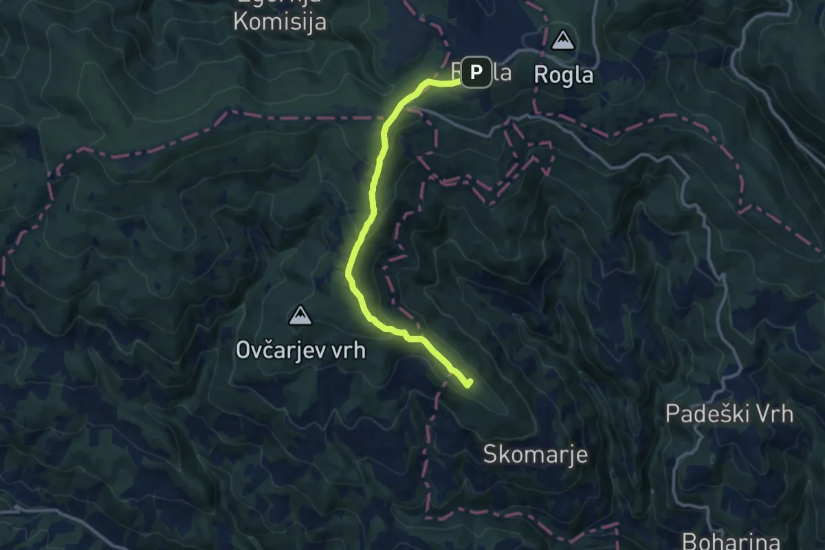
Medium · Summit
Skomarje - Rogla
10.7 km · ↑ 391 m · 3 h 23 min · 15 km away
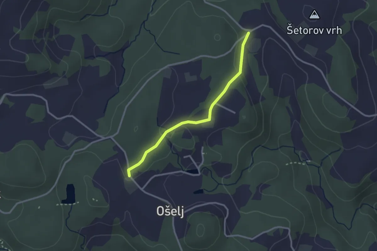
Easy · Trail
Ošelj - Smrečno
2.4 km · ↑ 62 m · 42 min · 15 km away
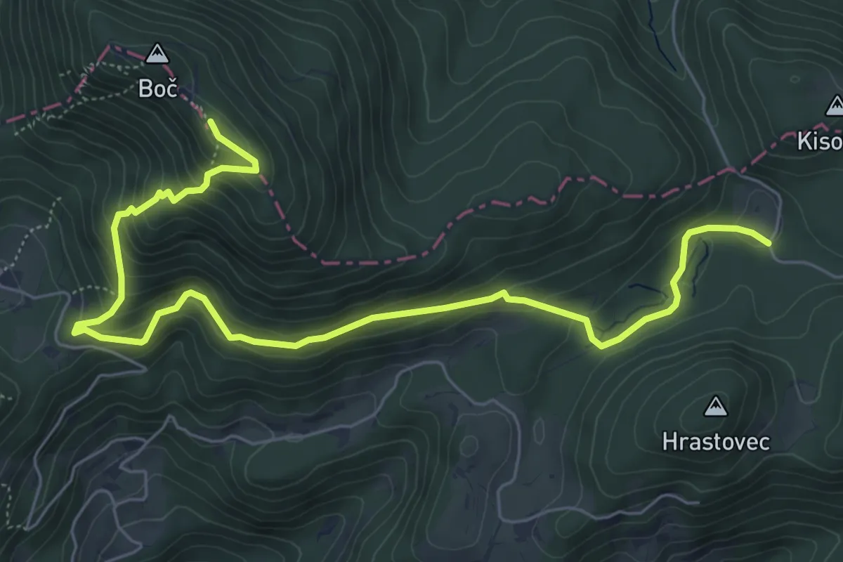
Medium · Trail
Formila - Boč
7.7 km · ↑ 458 m · 2 h 49 min · 15 km away
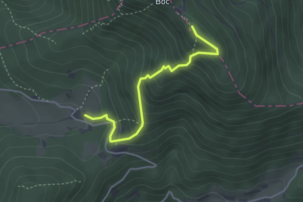
Medium · Cabin
Dom na Boču - Boč (senčna pot)
3.0 km · ↑ 285 m · 1 h 20 min · 15 km away
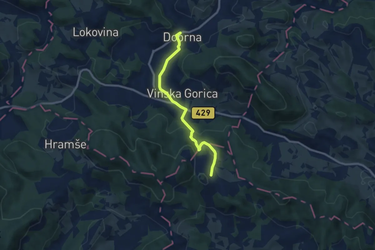
Easy · Trail
Lanšperška pot
5.9 km · ↑ 232 m · 1 h 54 min · 15 km away
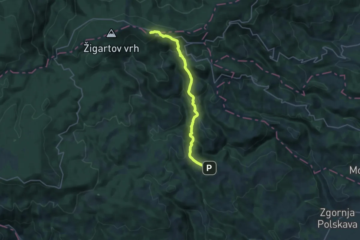
Medium · Cabin
Šmartno - Ruška koča
15.5 km · ↑ 697 m · 5 h 10 min · 15 km away
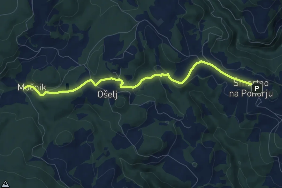
Medium · Trail
Šmartno - Močnik
8.3 km · ↑ 228 m · 2 h 27 min · 15 km away
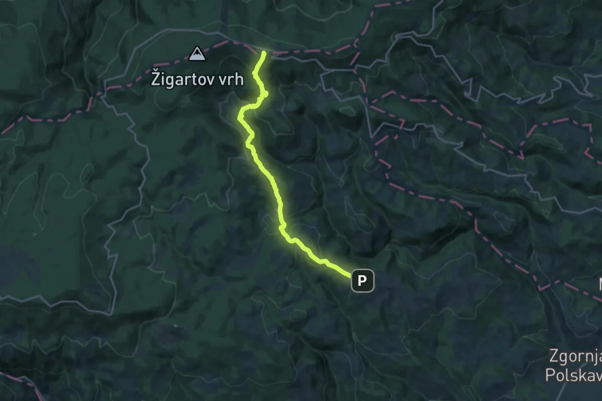
Medium · Cabin
Šmartno - Bojtina - Ruška koča
16.3 km · ↑ 706 m · 5 h 23 min · 15 km away