Trails near Tolmin
86 hikes starting within 15 km, nearest first.
Nearest first, page 1 of 2
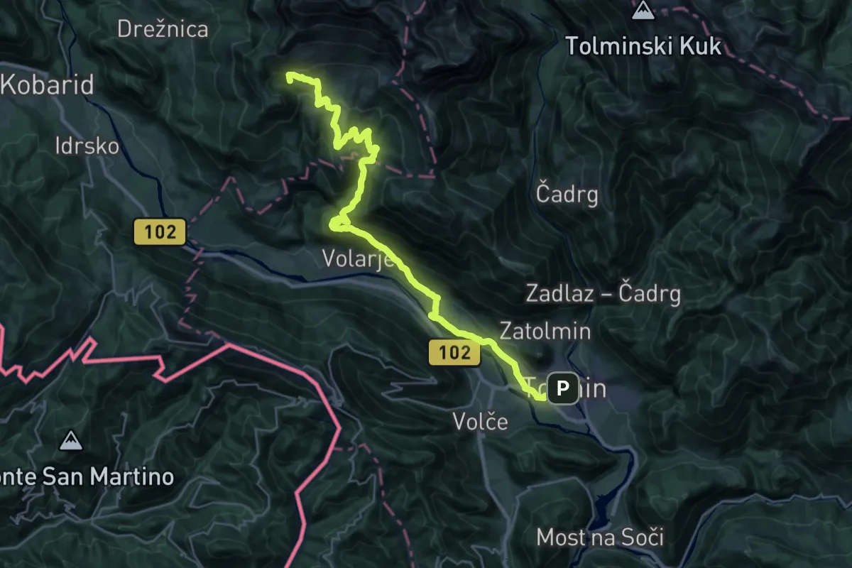
Demanding · Summit
Alpe Adria Trail E26
30.5 km · ↑ 1367 m · 10 h 10 min · under 1 km away
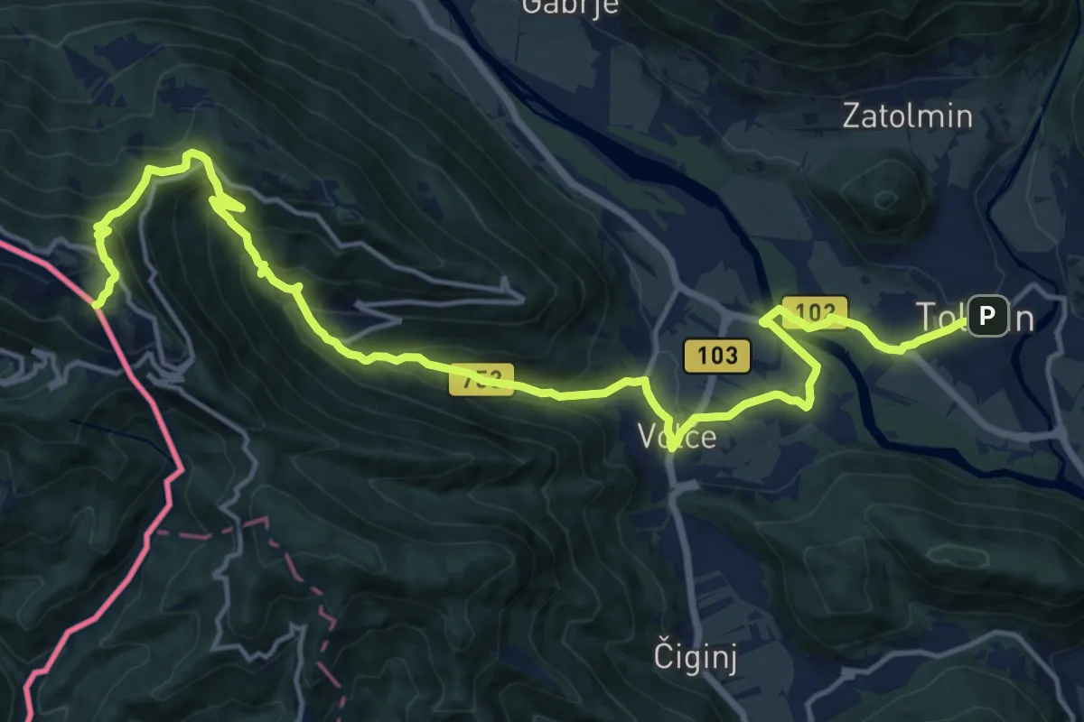
Demanding · Summit
Hst. Tolmin – Rif. Solarie
19.5 km · ↑ 1083 m · 6 h 58 min · under 1 km away
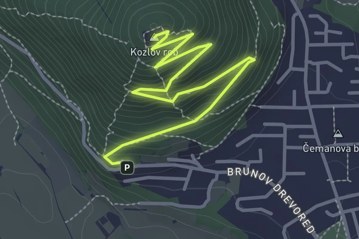
Easy · Summit
Gozdna učna pot Kozlov rob
3.4 km · ↑ 304 m · 1 h 28 min · 1 km away
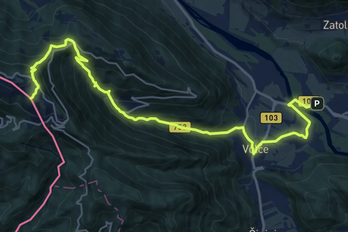
Demanding · Summit
Alpe Adria Trail E27
17.3 km · ↑ 1044 m · 6 h 21 min · 1 km away
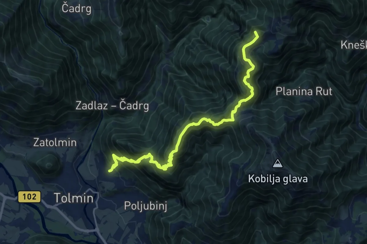
Demanding · Summit
Žabče - Pl. Lom - Koča na pl. Razor
17.7 km · ↑ 1538 m · 7 h 30 min · 1 km away
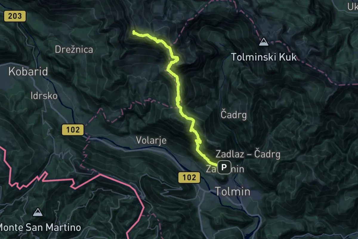
Demanding · Summit
Zatolmin - Pl. Sleme - Krn
28.2 km · ↑ 2448 m · 11 h 58 min · 1 km away
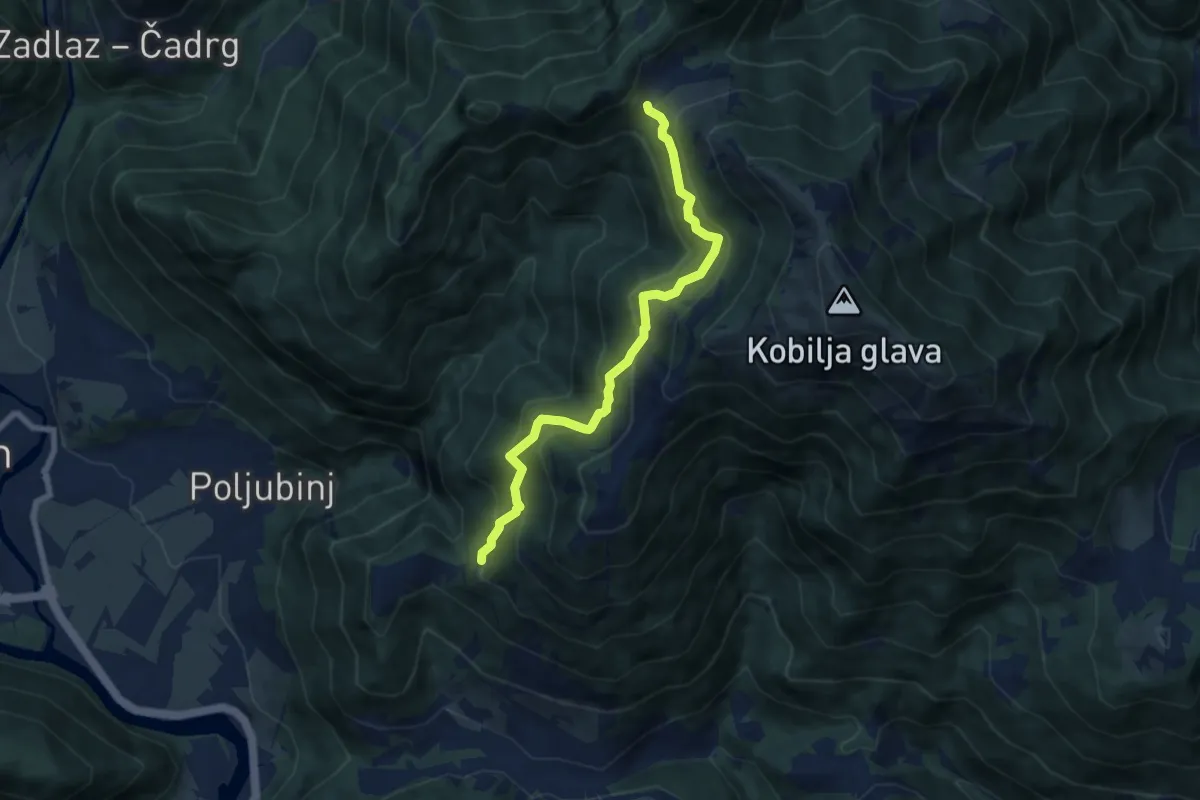
Medium · Trail
Poljubinske Ravne - Pl. Lom
7.1 km · ↑ 616 m · 3 h · 3 km away
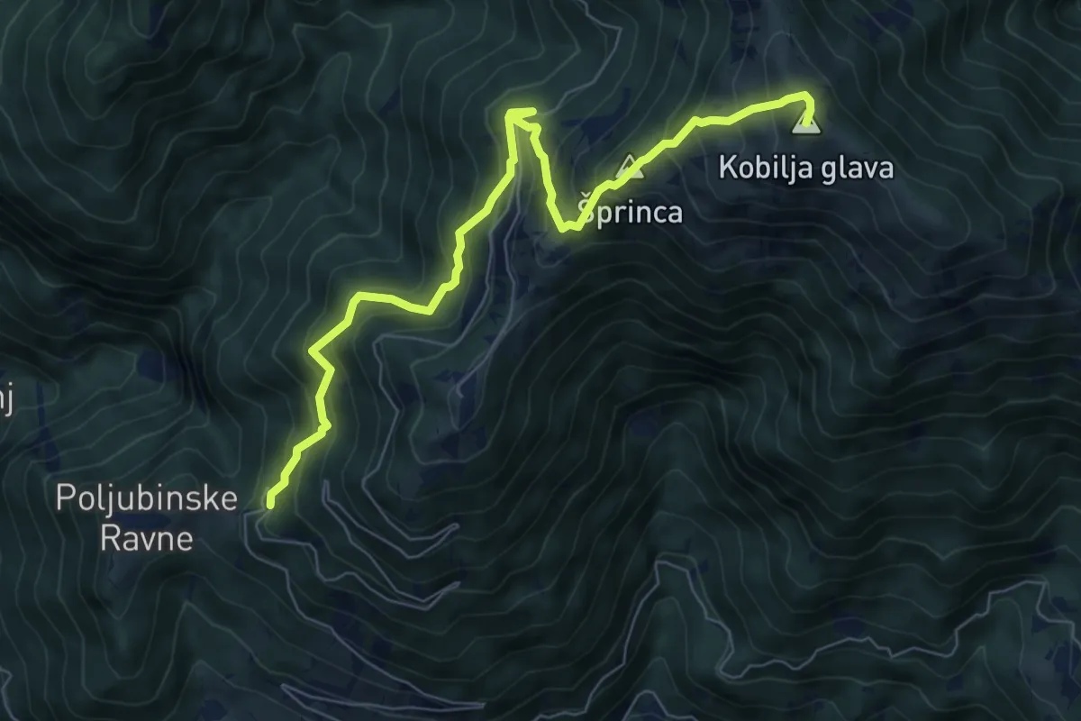
Demanding · Summit
Poljubinske Ravne - Kobilja glava
7.8 km · ↑ 835 m · 3 h 39 min · 3 km away
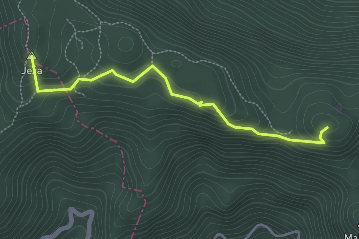
Easy · Summit
Očna
2.9 km · ↑ 112 m · 55 min · 4 km away
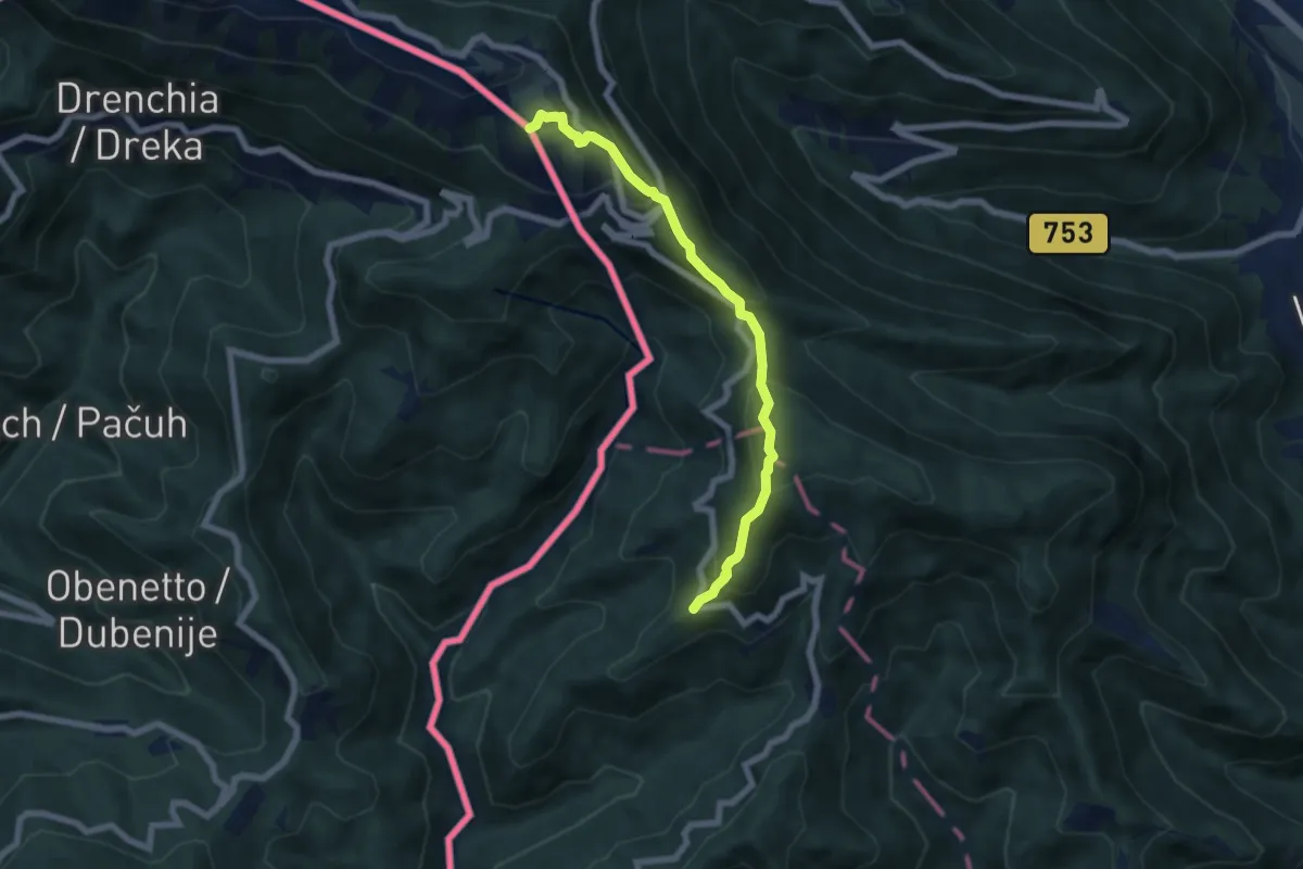
Medium · Summit
Dom pod Ježo - Ježa - Na gradu
6.3 km · ↑ 511 m · 2 h 36 min · 5 km away
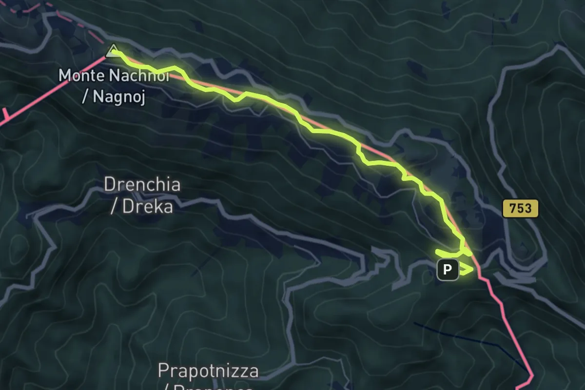
Medium · Summit
Topolò – Rifugio Solarie
6.9 km · ↑ 309 m · 2 h 18 min · 6 km away
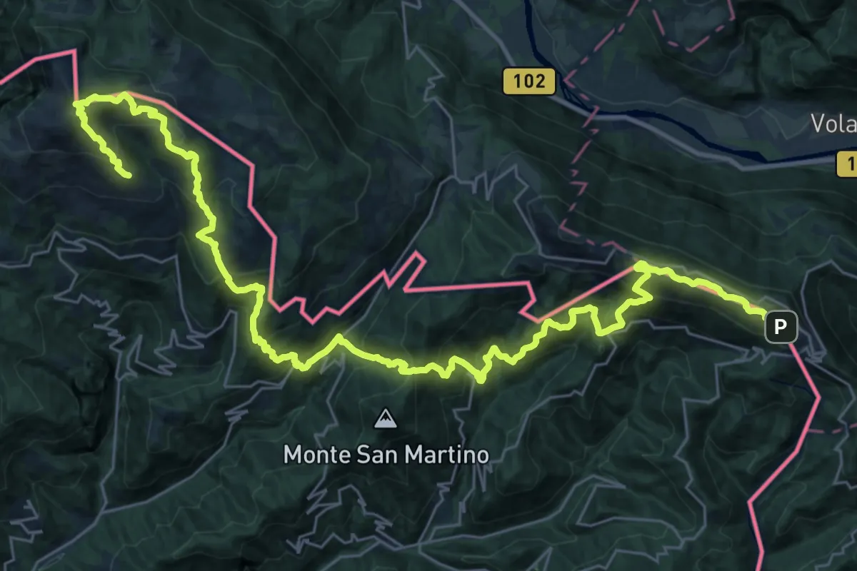
Demanding · Summit
JK14
19.8 km · ↑ 1670 m · 8 h 27 min · 6 km away
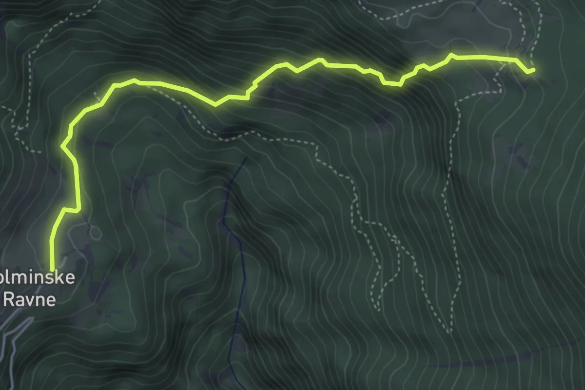
Demanding · Cabin
Tolminske Ravne - Koča na pl. Razor
5.1 km · ↑ 499 m · 2 h 17 min · 6 km away
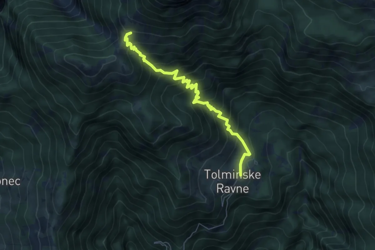
Medium · Trail
Tolminske Ravne - Pl. na Kalu
6.2 km · ↑ 588 m · 2 h 44 min · 6 km away
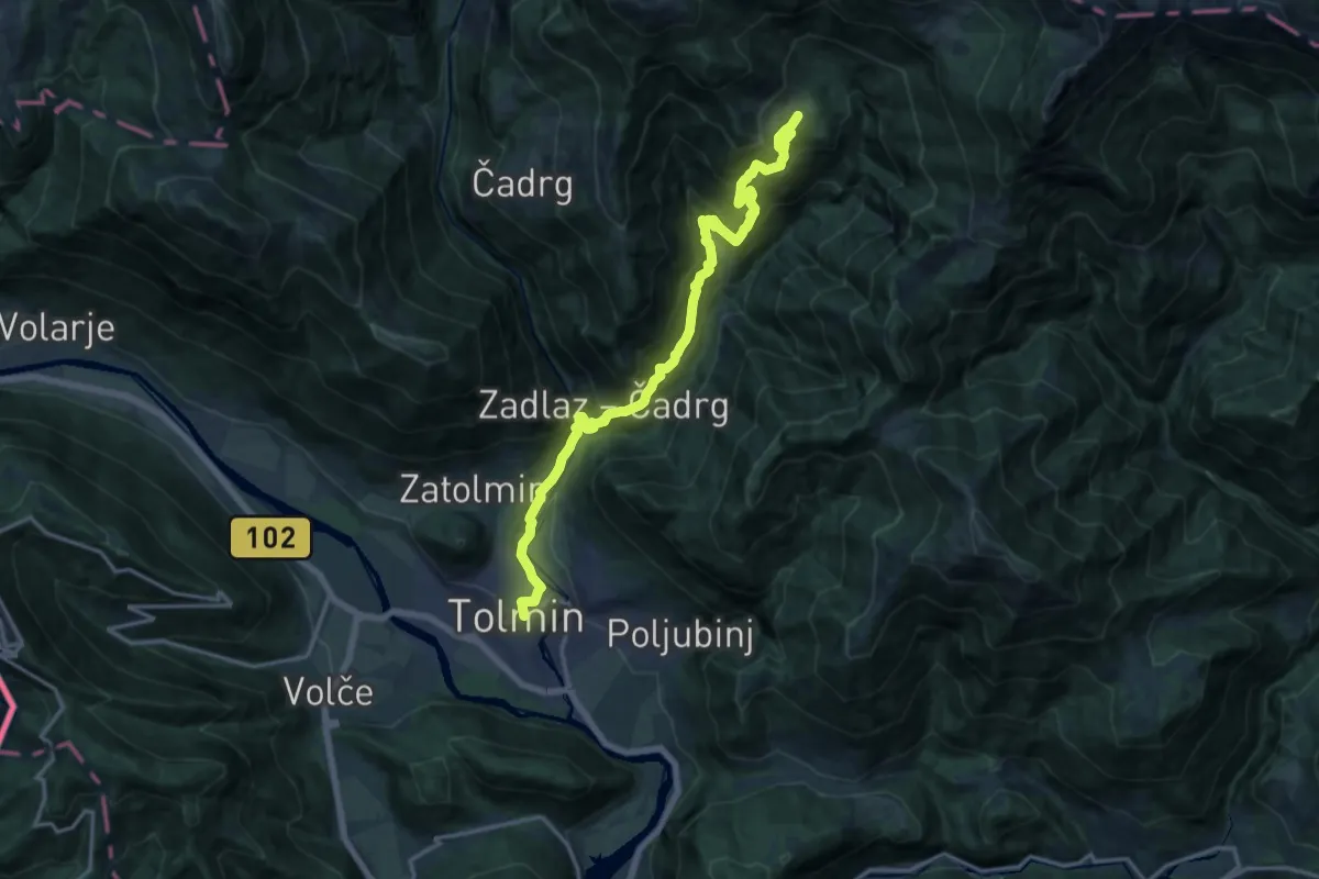
Demanding · Trail
Tolmin - Tolminske Ravne
17.7 km · ↑ 1297 m · 6 h 59 min · 6 km away
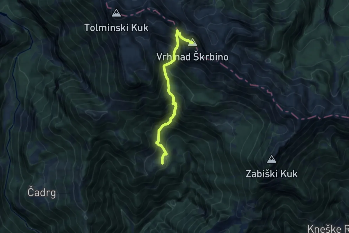
Expert · Summit
Tolminske Ravne - Vrh nad Škrbino
8.8 km · ↑ 1185 m · 4 h 39 min · 6 km away
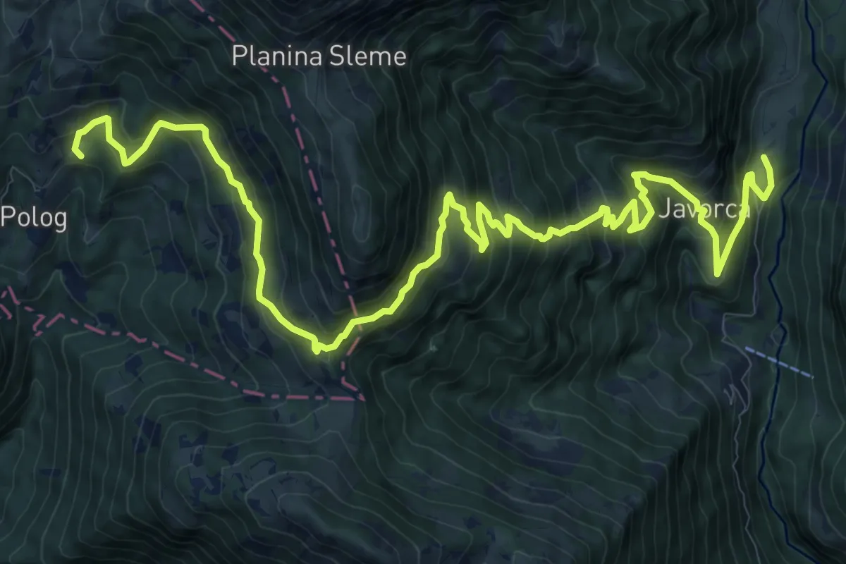
Demanding · Summit
Pl. Polog - Vas Krn
16.6 km · ↑ 1453 m · 7 h 4 min · 6 km away
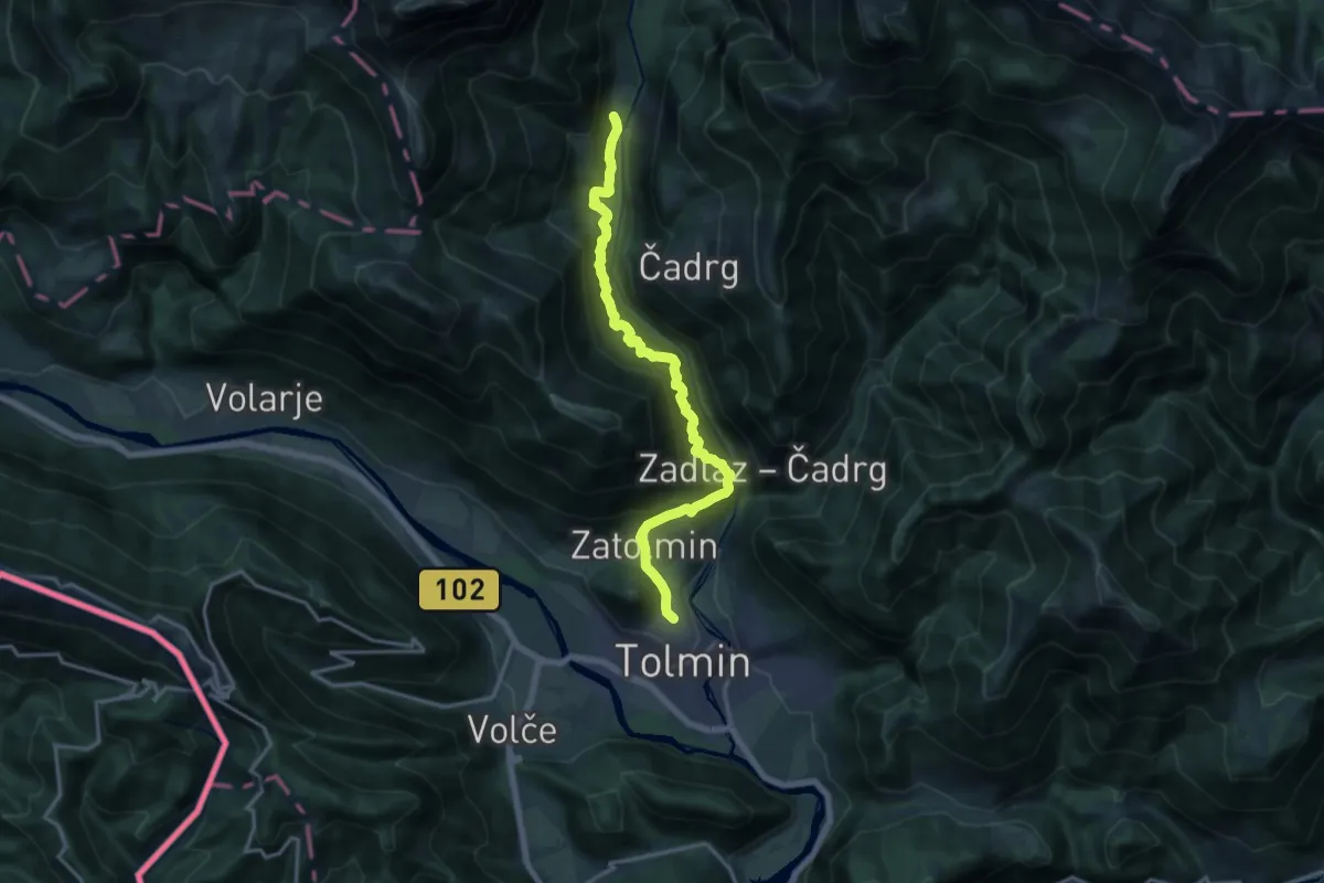
Demanding · Summit
Tolmin - Pl. Polog
15.8 km · ↑ 1299 m · 6 h 32 min · 6 km away
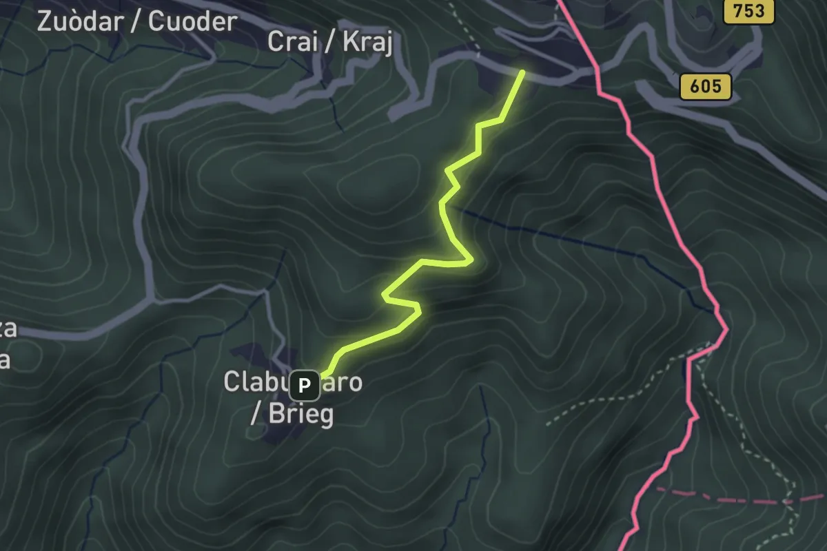
Easy · Cabin
Rifugio Solarie – Tribil Superiore
2.7 km · ↑ 230 m · 1 h 8 min · 6 km away
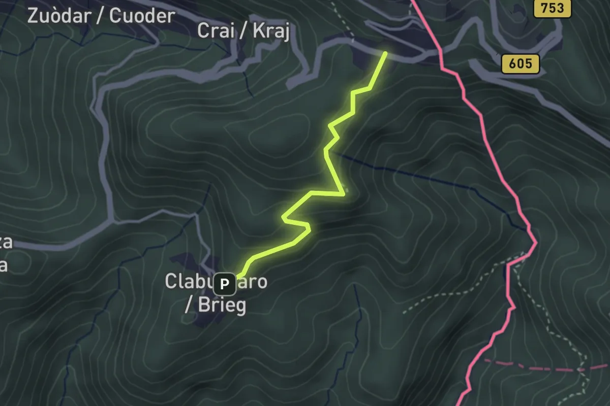
Easy · Cabin
Via Alpina Yellow B6
2.6 km · ↑ 204 m · 1 h 4 min · 6 km away
Medium · Summit
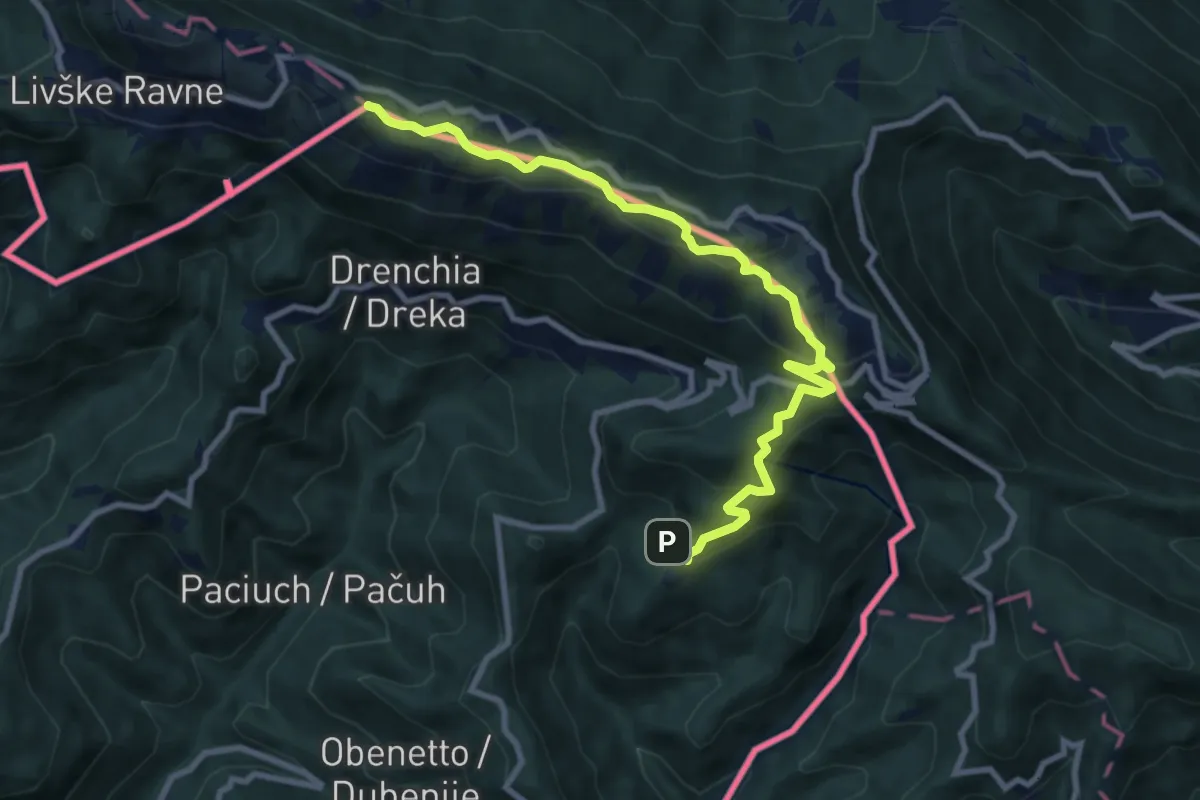
Topolò (quota 531 m) – Clabuzzaro (quota 802 m)
9.8 km · ↑ 551 m · 3 h 31 min · 6 km away
Medium · Cabin
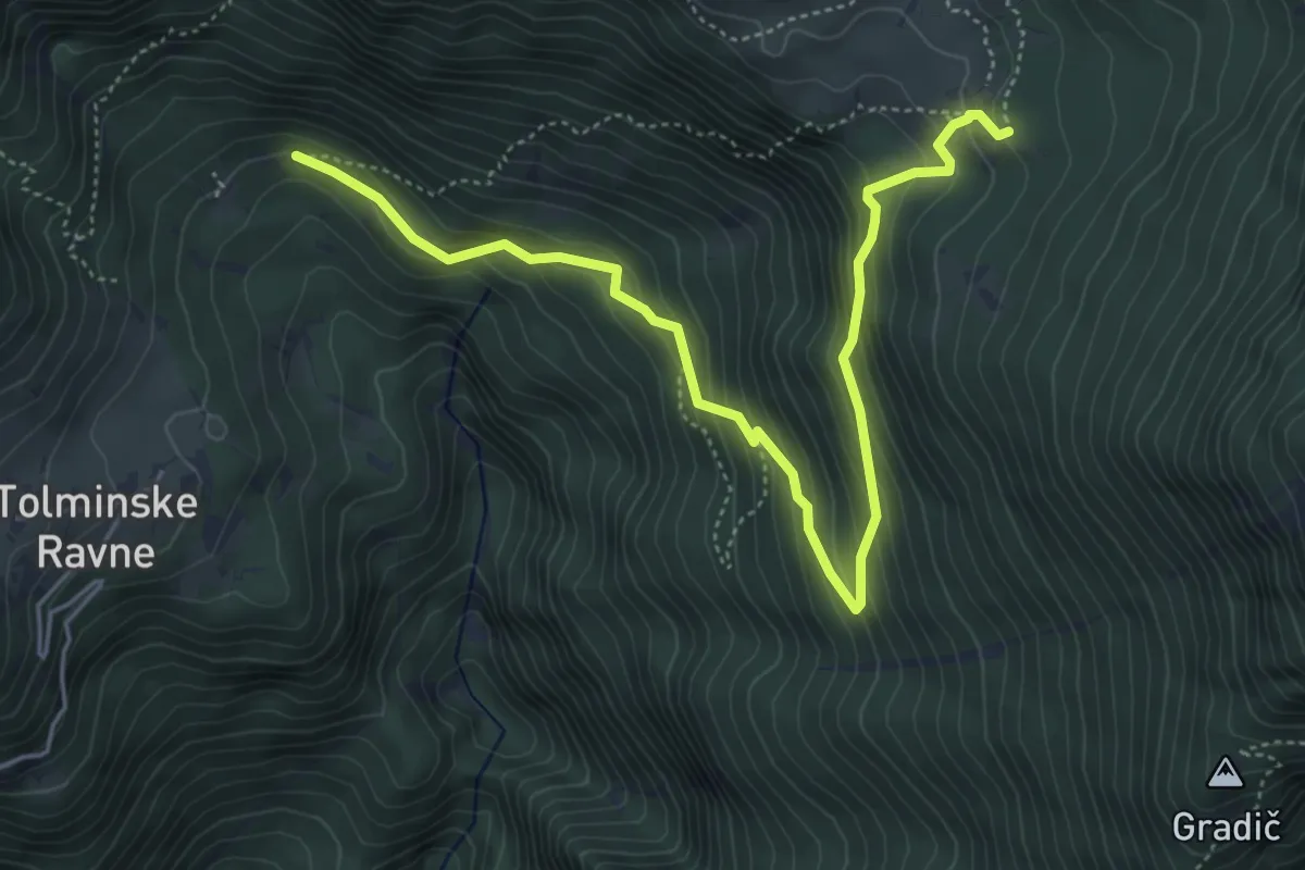
Koča na pl. Razor (daljša)
5.8 km · ↑ 444 m · 2 h 20 min · 7 km away
Easy · Summit
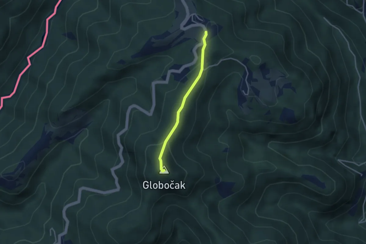
Srednje - Globočak
2.4 km · ↑ 87 m · 46 min · 7 km away
Demanding · Summit
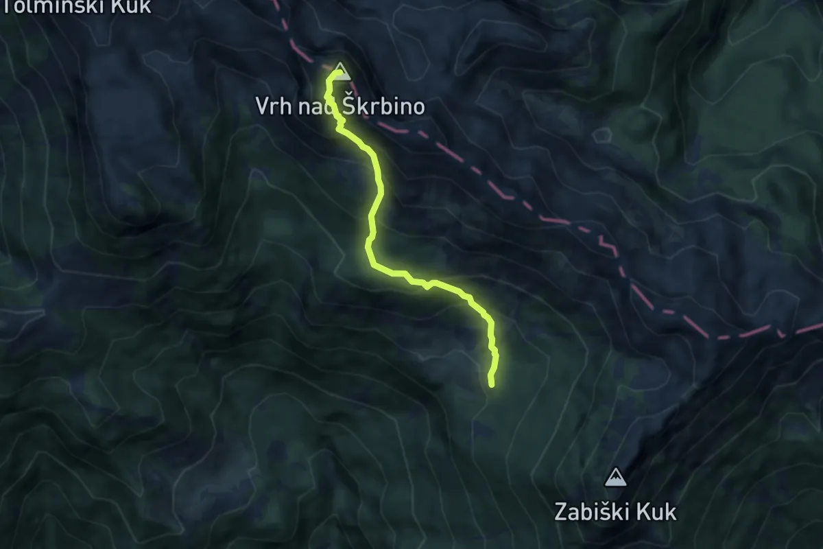
Pl. Razor - Vrh nad Škrbino
6.0 km · ↑ 697 m · 2 h 55 min · 7 km away
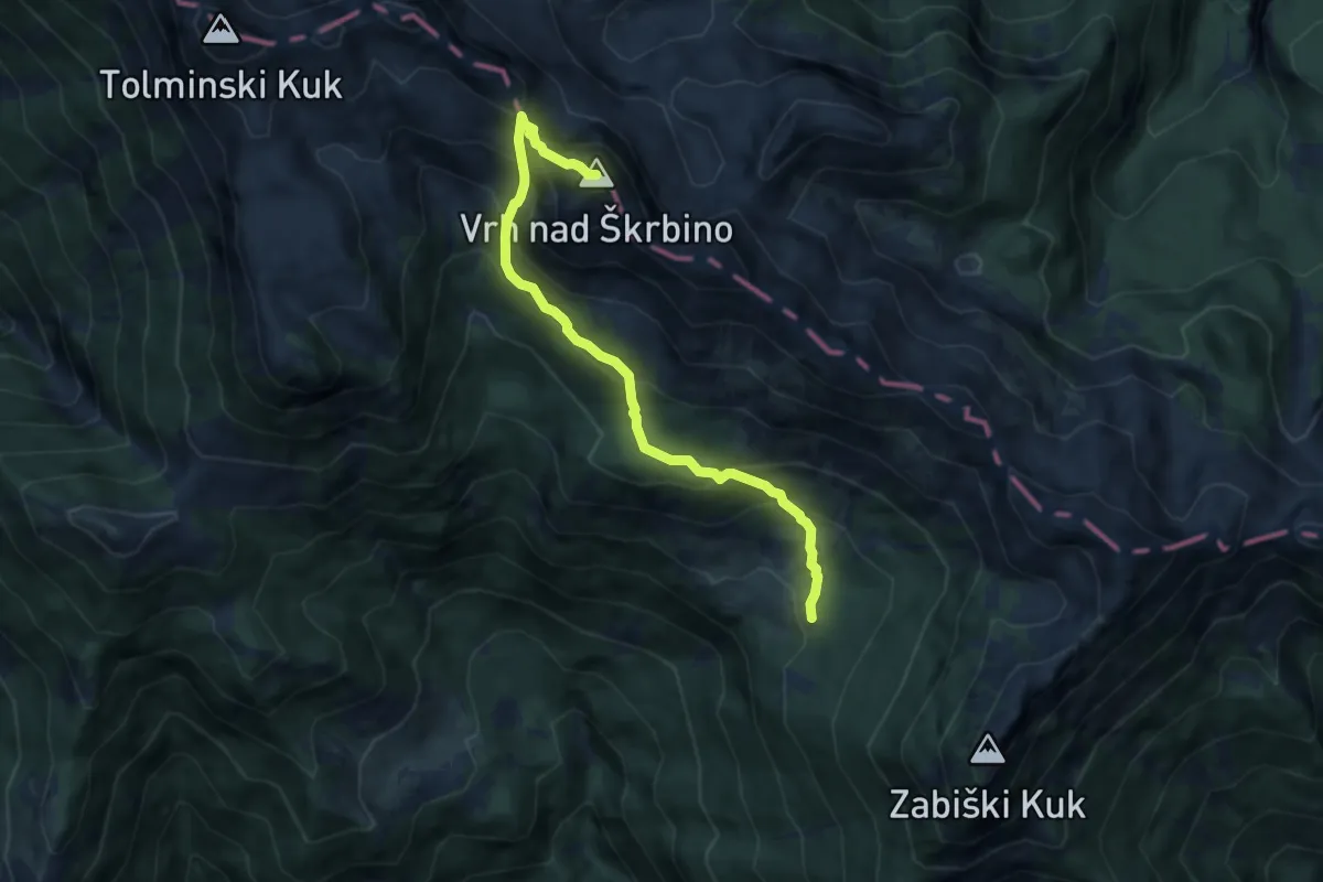
Expert · Summit
Pl. Razor - Škrbina - Vrh nad Škrbino
7.7 km · ↑ 813 m · 3 h 34 min · 7 km away
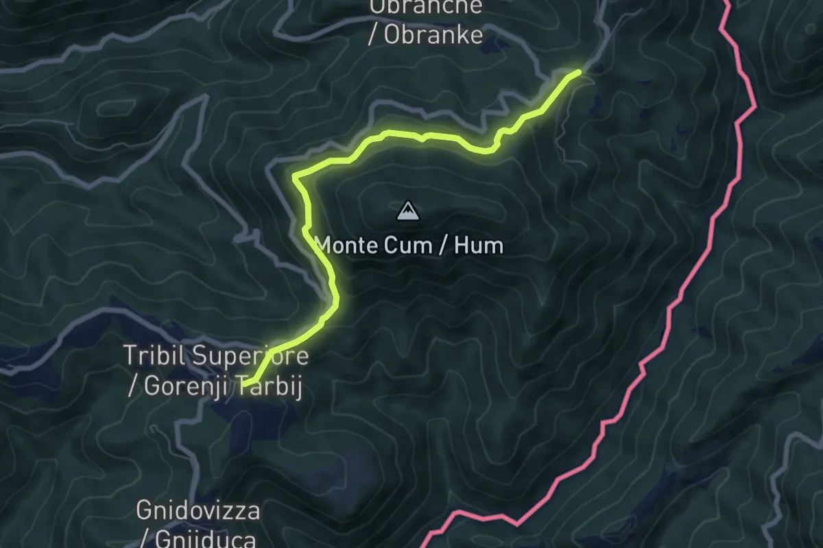
Medium · Trail
Sentiero Hum
6.7 km · ↑ 338 m · 2 h 19 min · 8 km away
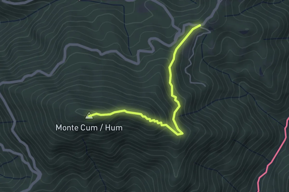
Easy · Summit
Sentiero Hum
4.0 km · ↑ 241 m · 1 h 27 min · 8 km away
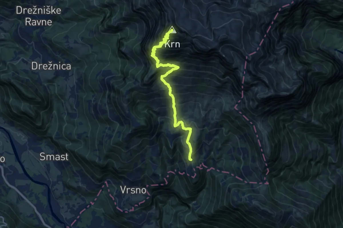
Demanding · Summit
Vas Krn - Krn
13.9 km · ↑ 1549 m · 6 h 38 min · 8 km away
Easy · Trail
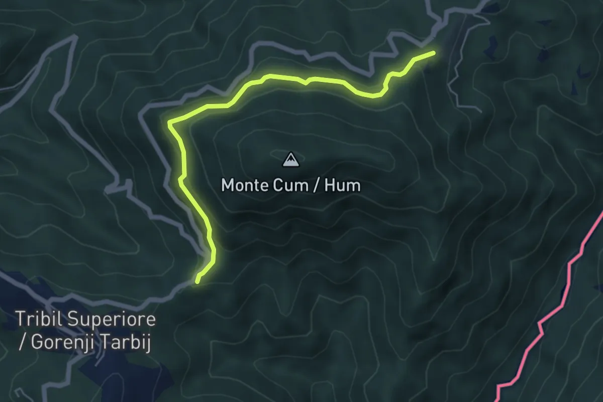
Bivio Rucchin (quota 676 m) – Bivio Tribil di Sopra (quota 610 m)
5.0 km · ↑ 267 m · 1 h 45 min · 8 km away
Medium · Summit
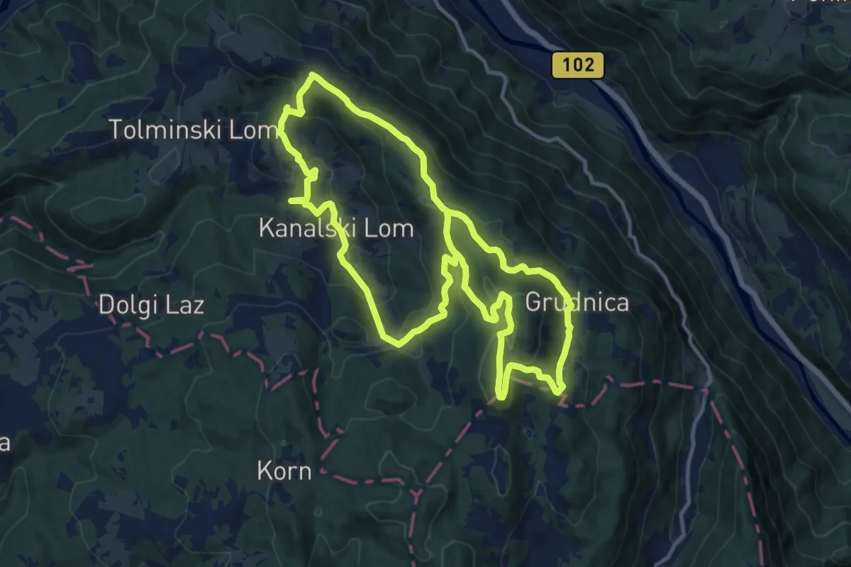
Tematska pot Lom je moj dom
12.3 km · ↑ 615 m · 4 h 26 min · 8 km away
Easy · Summit
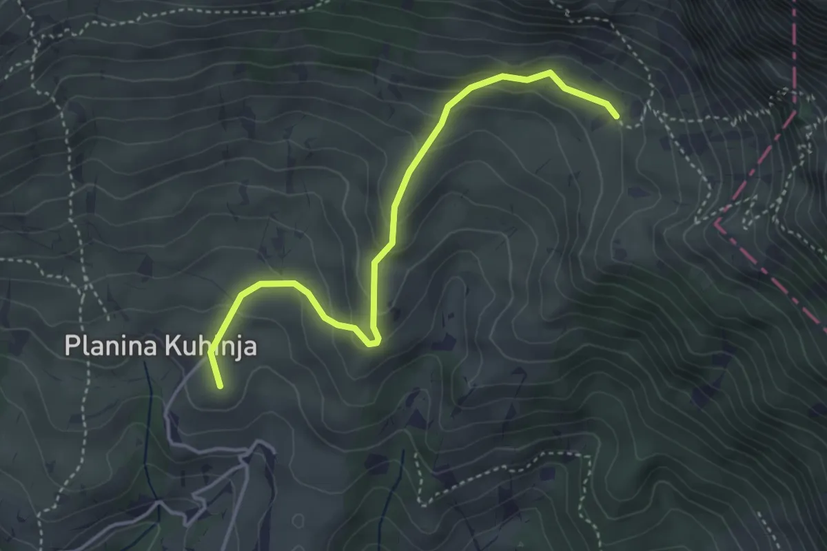
Pl. Kuhinja - Pl. Leskovca
3.9 km · ↑ 237 m · 1 h 26 min · 8 km away
Medium · Summit
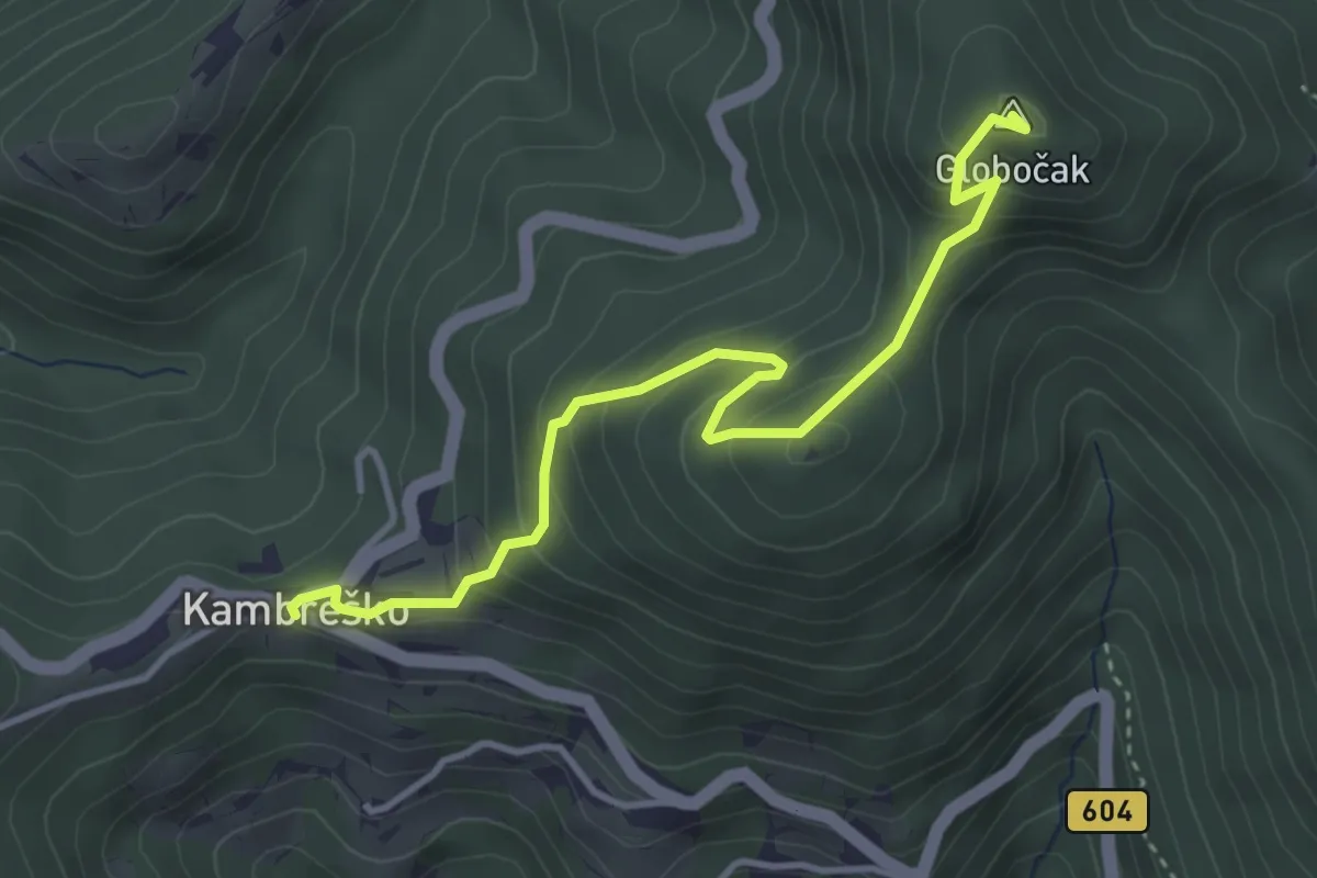
Kambreško - Globočak
3.9 km · ↑ 344 m · 1 h 40 min · 9 km away
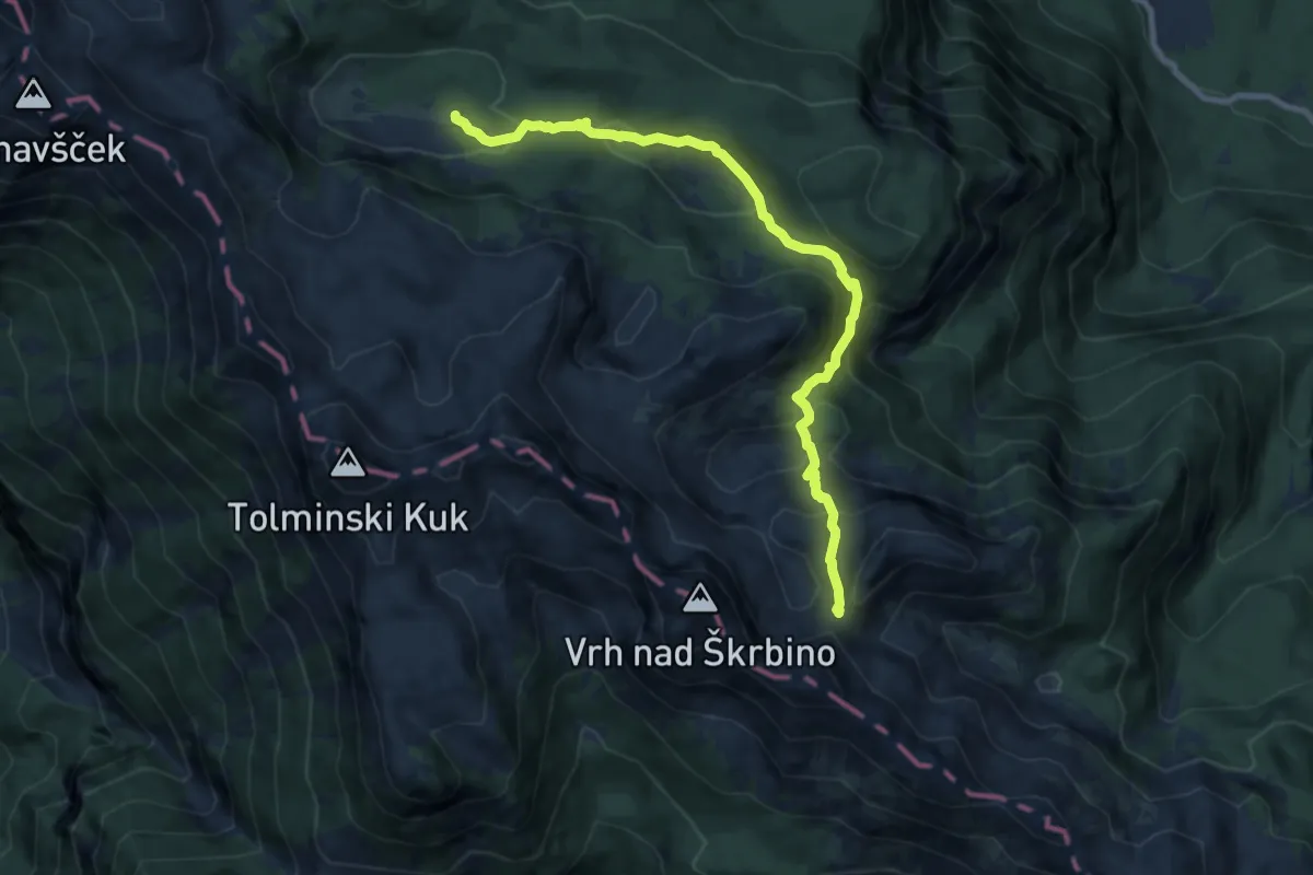
Medium · Trail
Pl. Govnjač - Konjsko sedlo
9.4 km · ↑ 510 m · 3 h 19 min · 9 km away
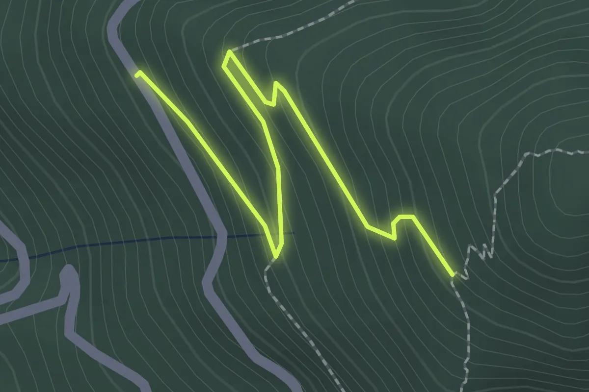
Easy · Trail
Sentiero Hum - variante
2.3 km · ↑ 162 m · 54 min · 9 km away
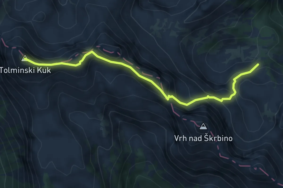
Expert · Summit
Pl. za Migovcem - Škrbina - Tolminski Kuk
5.8 km · ↑ 522 m · 2 h 30 min · 10 km away
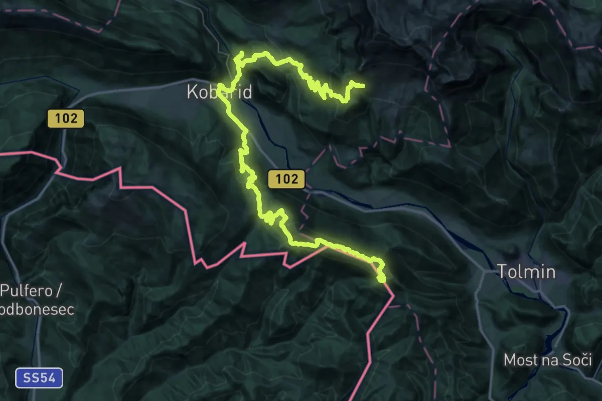
Demanding · Summit
JK13
28.8 km · ↑ 1266 m · 10 h 3 min · 10 km away
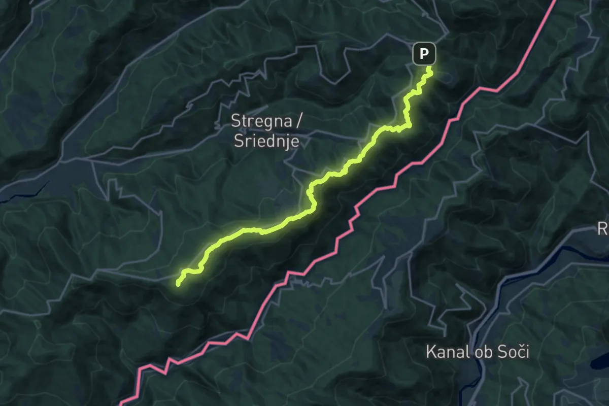
Demanding · Summit
Alpe Adria Trail E28
18.3 km · ↑ 635 m · 5 h 42 min · 10 km away
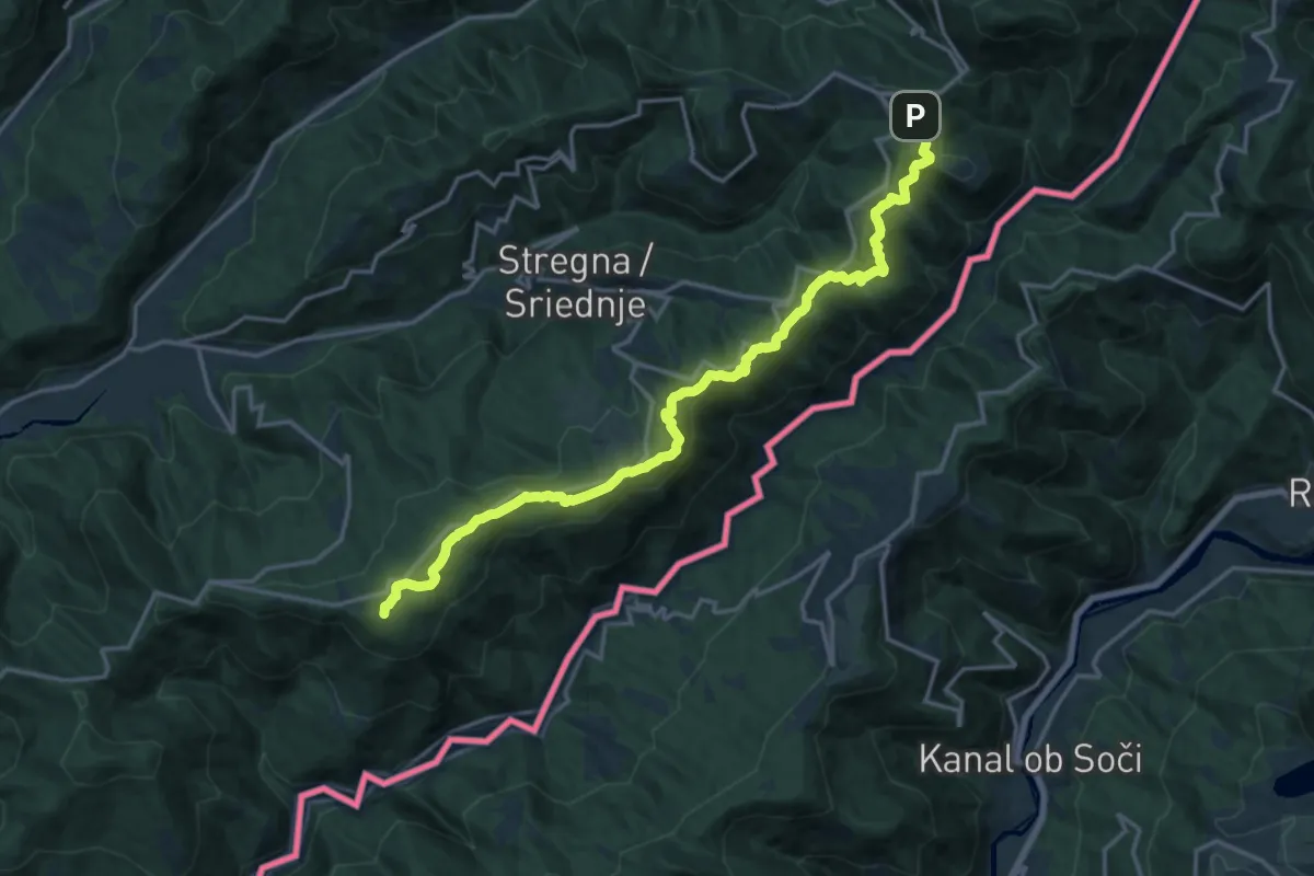
Demanding · Summit
Tribil Superiore – Castelmonte
18.3 km · ↑ 634 m · 5 h 42 min · 10 km away
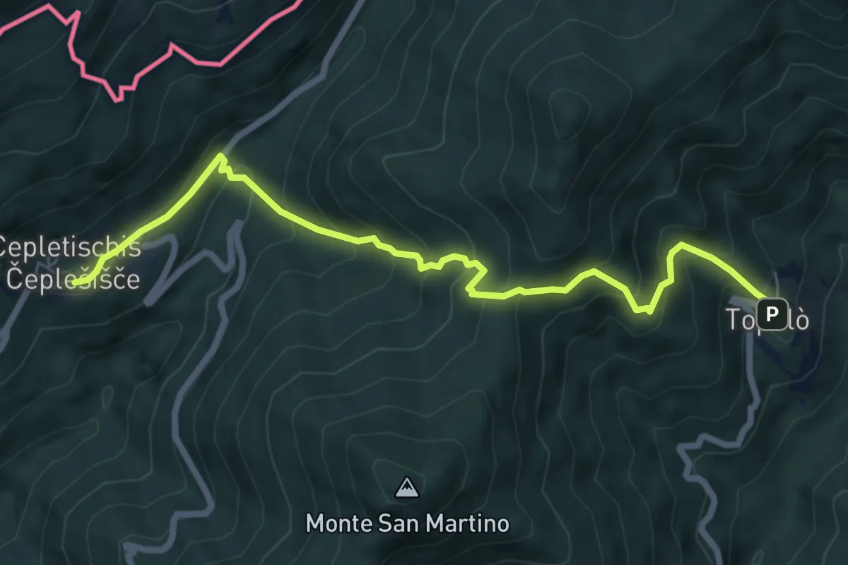
Medium · Trail
Polava (quota 590 m) – Topolò (quota 531 m)
6.9 km · ↑ 604 m · 2 h 56 min · 10 km away
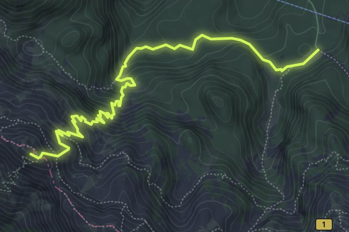
Medium · Summit
Pl. Zadnji Vogel - Preval Globoko
7.8 km · ↑ 611 m · 3 h 10 min · 10 km away
Medium · Trail
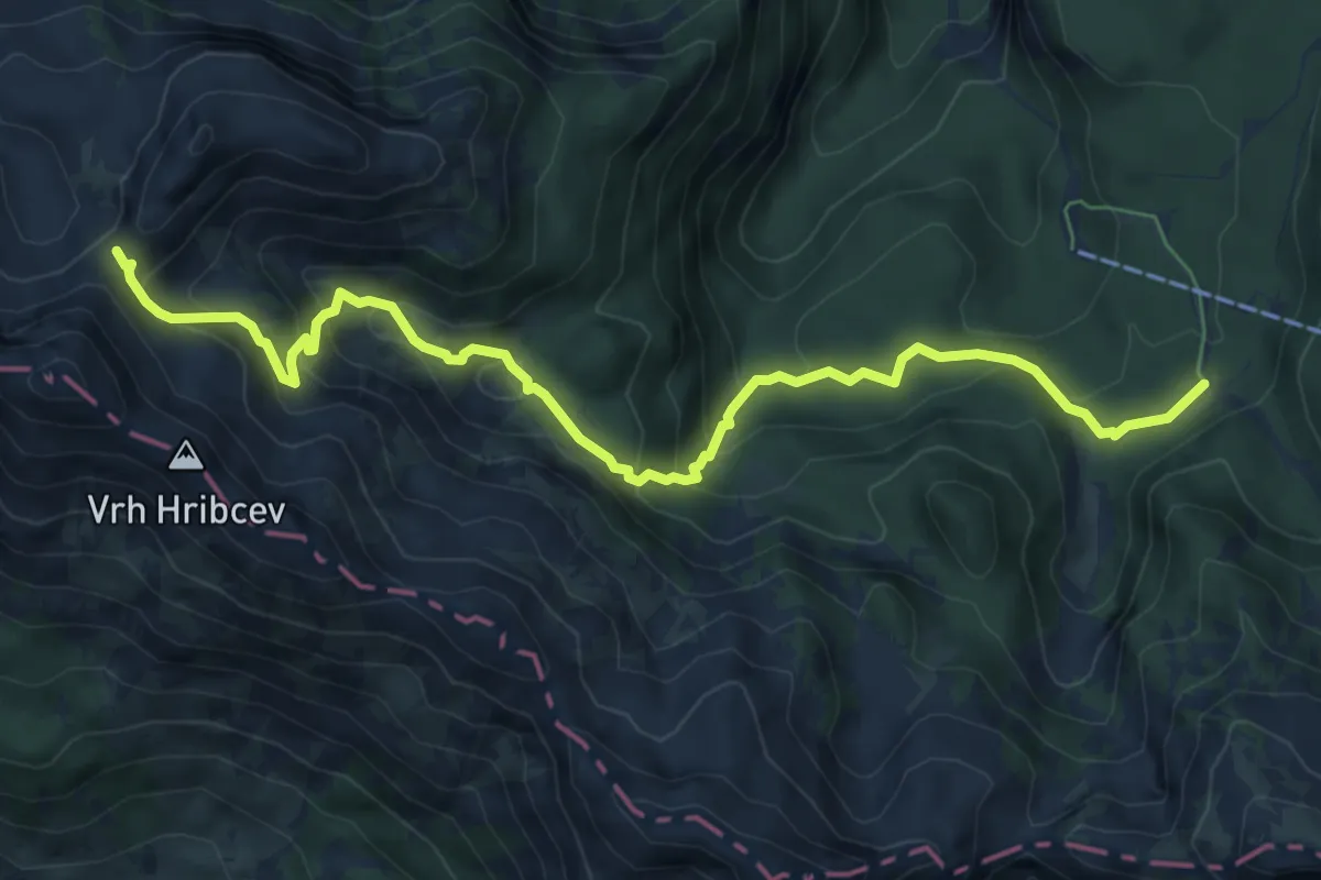
Pl. Zadnji Vogel - Konjsko sedlo
8.3 km · ↑ 562 m · 3 h 10 min · 10 km away
Easy · Summit
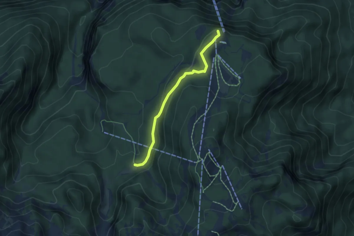
Rjava skala - Pl. Zadnji Vogel
4.1 km · ↑ 127 m · 1 h 14 min · 10 km away
Demanding · Summit
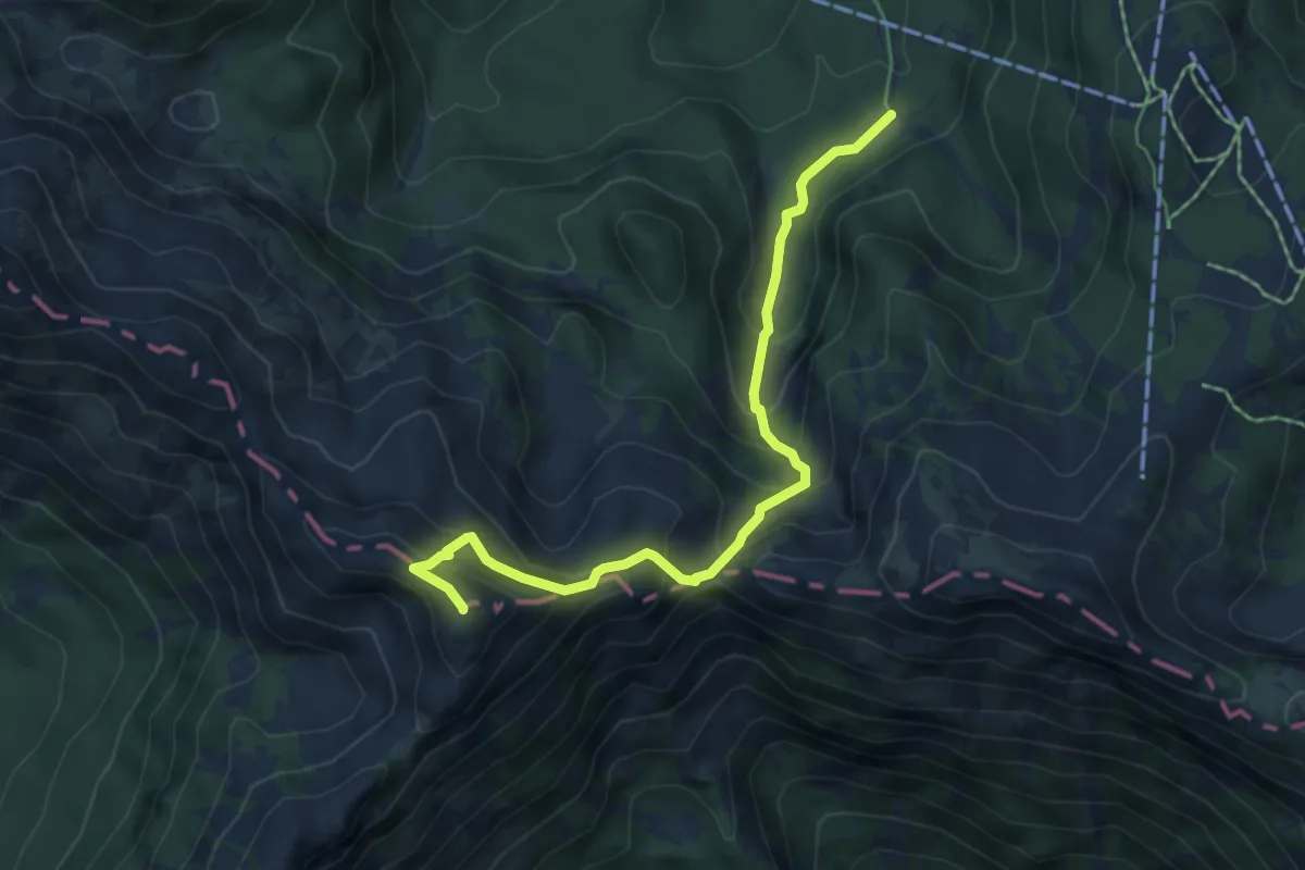
Pl. Zadnji Vogel - Vogel
5.6 km · ↑ 508 m · 2 h 25 min · 10 km away
Easy · Summit
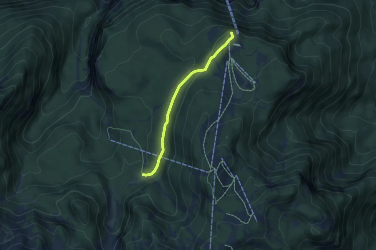
Rjava skala - Pl. Zadnji Vogel (tekaška)
3.8 km · ↑ 124 m · 1 h 11 min · 10 km away
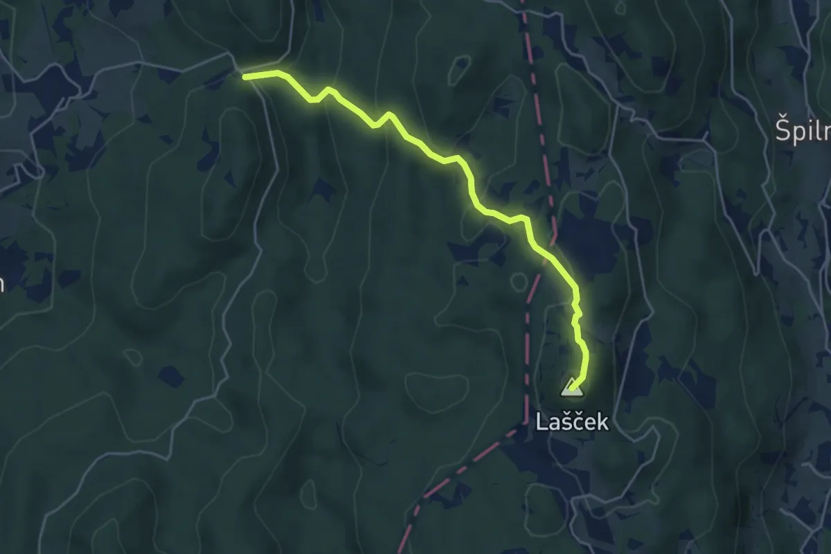
Easy · Summit
Cvetrež - Lašček
4.4 km · ↑ 244 m · 1 h 34 min · 11 km away
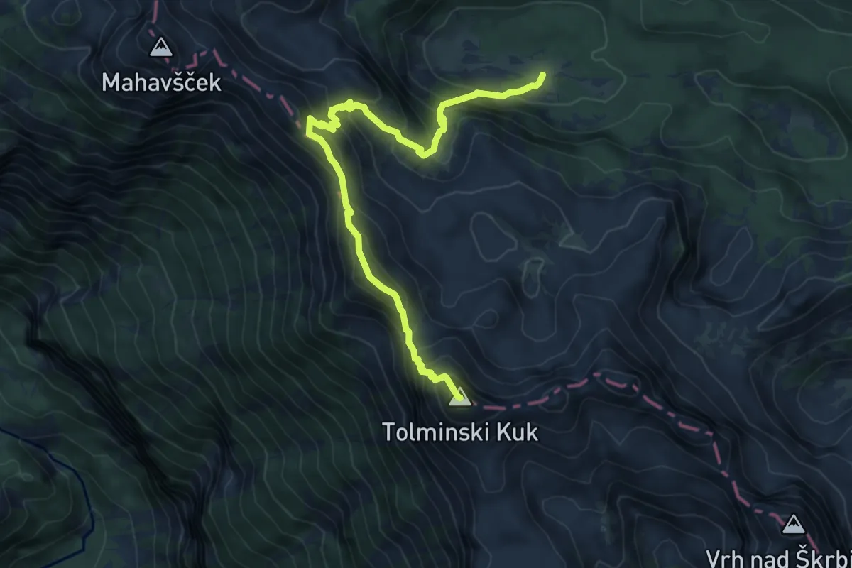
Expert · Summit
Pl. Govnjač - Tolminski Kuk
7.8 km · ↑ 752 m · 3 h 28 min · 11 km away
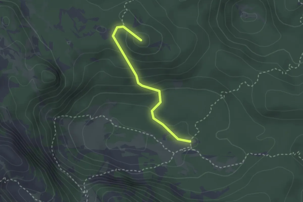
Medium · Summit
Pl. Govnjač - Koča pod Bogatinom
2.3 km · ↑ 139 m · 51 min · 11 km away
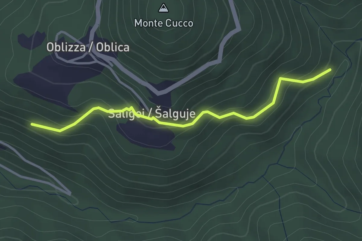
Easy · Trail
Cobilza - Oblizza - Dughe - bretella
2.9 km · ↑ 236 m · 1 h 12 min · 11 km away