Trails near Velenje
68 hikes starting within 15 km, nearest first.
Nearest first, page 2 of 2
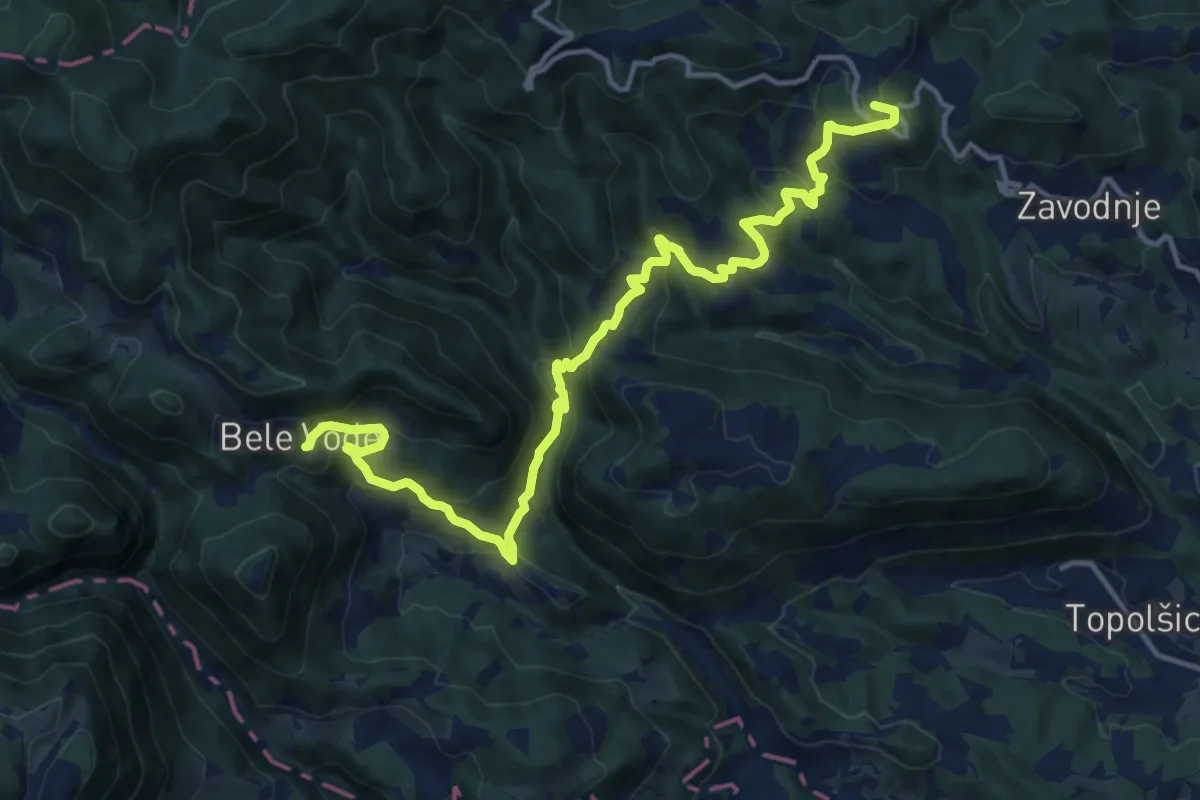
Demanding · Summit
Sedlar - Savinek
16.2 km · ↑ 845 m · 5 h 40 min · 14 km away
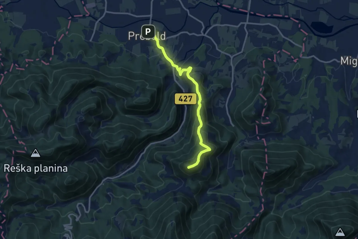
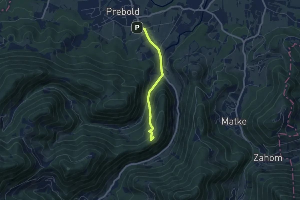
Medium · Summit
Prebold - Golava
9.9 km · ↑ 558 m · 3 h 33 min · 14 km away
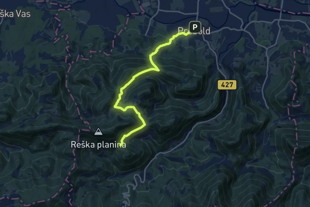
Demanding · Cabin
Prebold - Dom pod Reško pl.
12.5 km · ↑ 804 m · 4 h 42 min · 14 km away
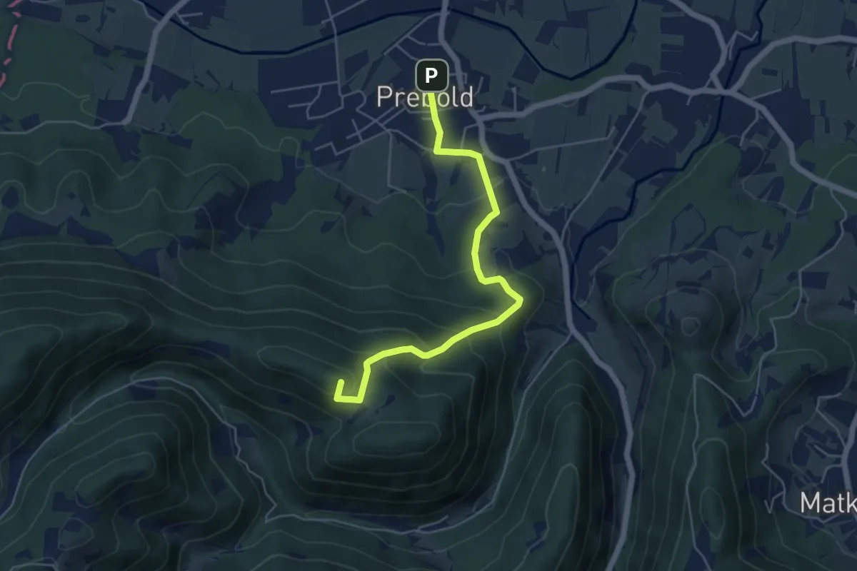
Medium · Summit
Prebold - Žvajga - Dom pod Reško pl.
5.2 km · ↑ 328 m · 1 h 56 min · 14 km away
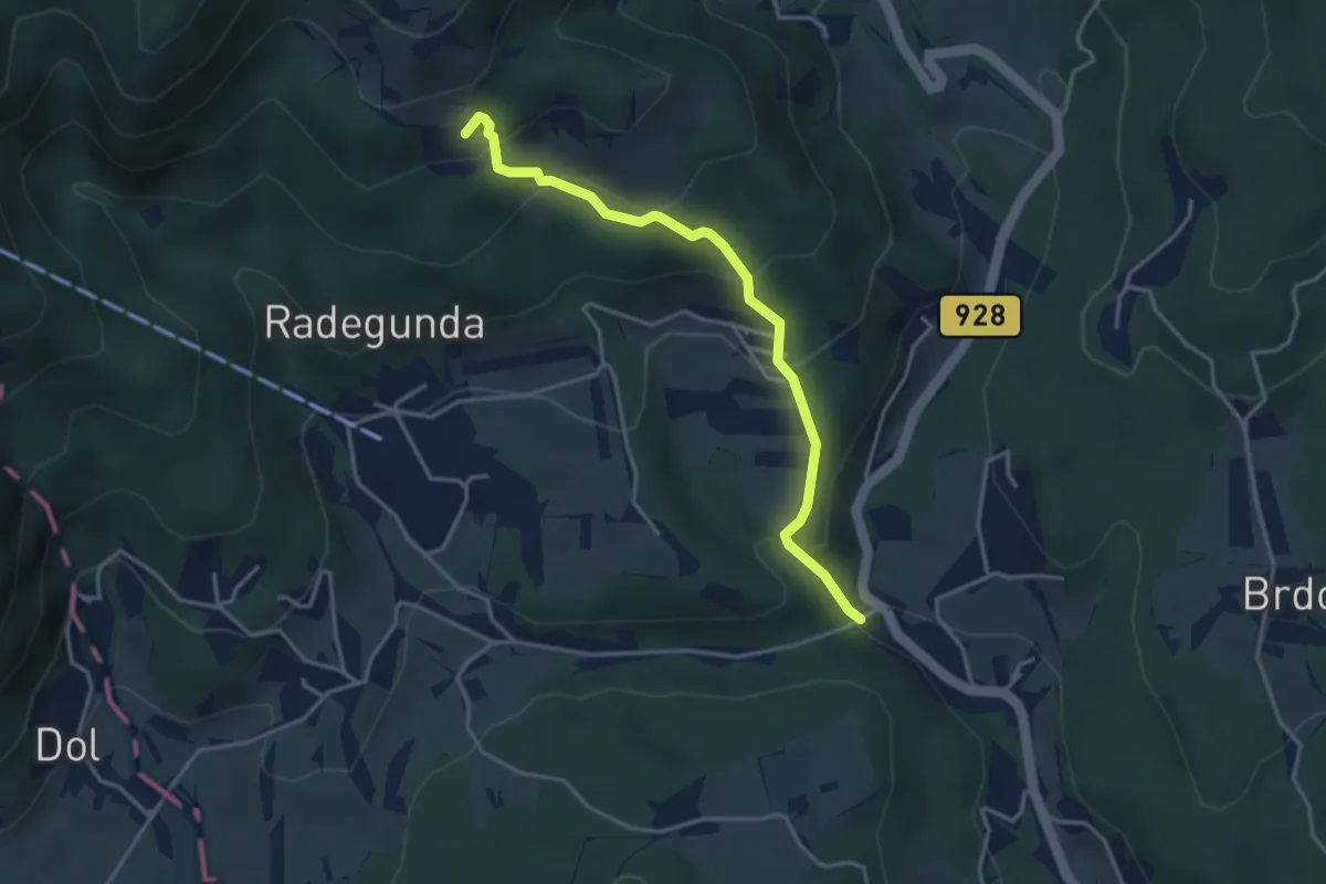
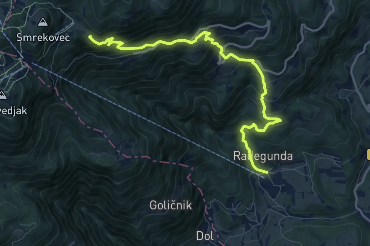
Easy · Trail
Gostilna Weiss - Radegunda
3.6 km · ↑ 284 m · 1 h 27 min · 14 km away
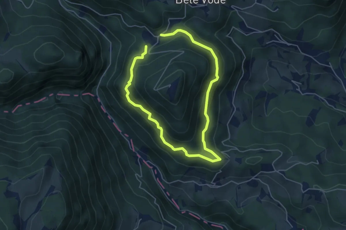
Medium · Trail
Logarska pot
7.1 km · ↑ 554 m · 2 h 52 min · 14 km away
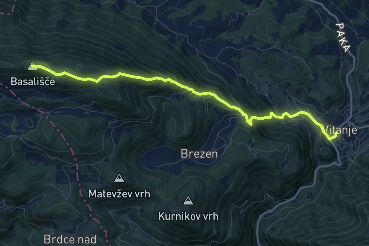
Demanding · Summit
Vitanje - Basališče
10.1 km · ↑ 811 m · 4 h 8 min · 14 km away
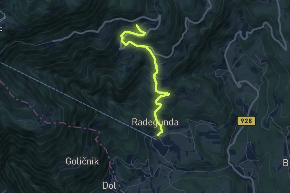
Medium · Trail
Žekovec - Gostečnik
6.0 km · ↑ 530 m · 2 h 33 min · 14 km away
Demanding · Cabin
Žekovec - Mozirska koča
10.0 km · ↑ 879 m · 4 h 15 min · 14 km away
Easy · Summit
Prebold - Gradišče
4.7 km · ↑ 239 m · 1 h 38 min · 14 km away
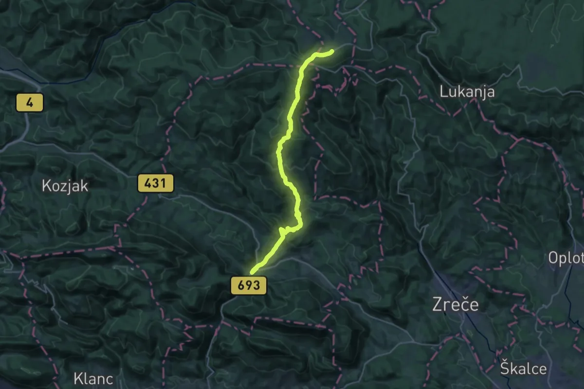
Demanding · Trail
Vitanje - Rogla
22.2 km · ↑ 1183 m · 7 h 49 min · 14 km away
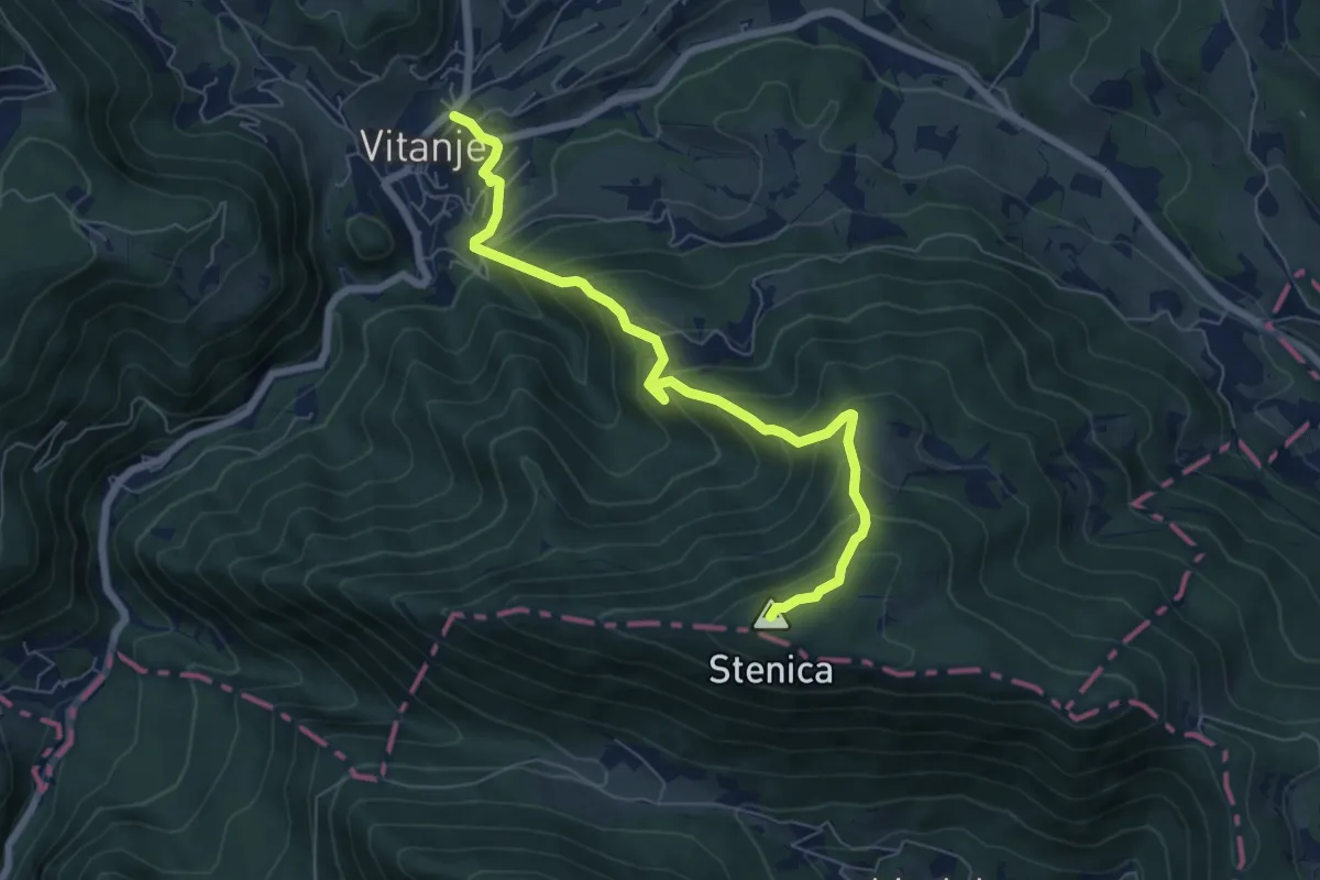
Medium · Summit
Vitanje - Stenica
6.9 km · ↑ 629 m · 3 h · 14 km away
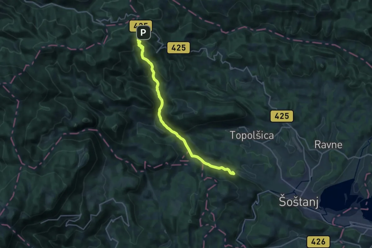
Demanding · Summit
Šoštanj - Sleme
16.5 km · ↑ 852 m · 5 h 45 min · 14 km away
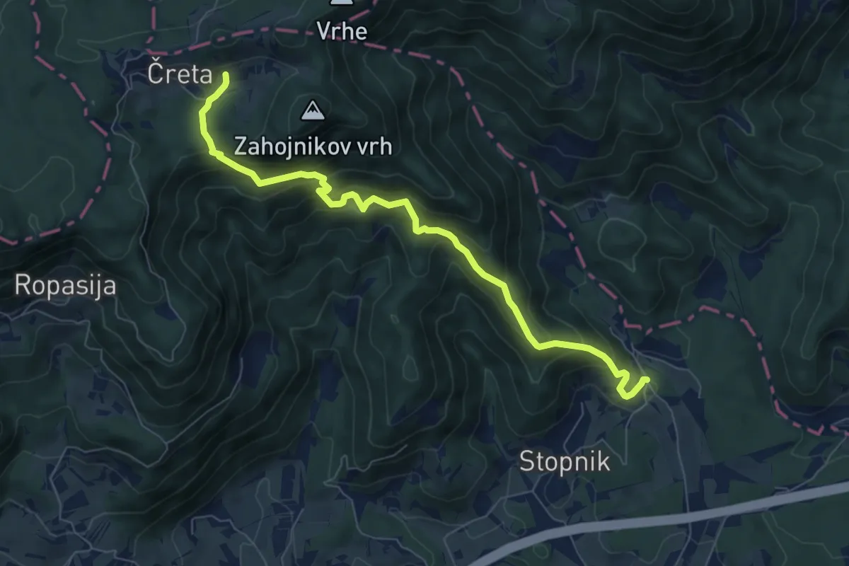
Medium · Cabin
Vojkova pot (Prekopa - Čreta)
7.7 km · ↑ 677 m · 3 h 17 min · 14 km away
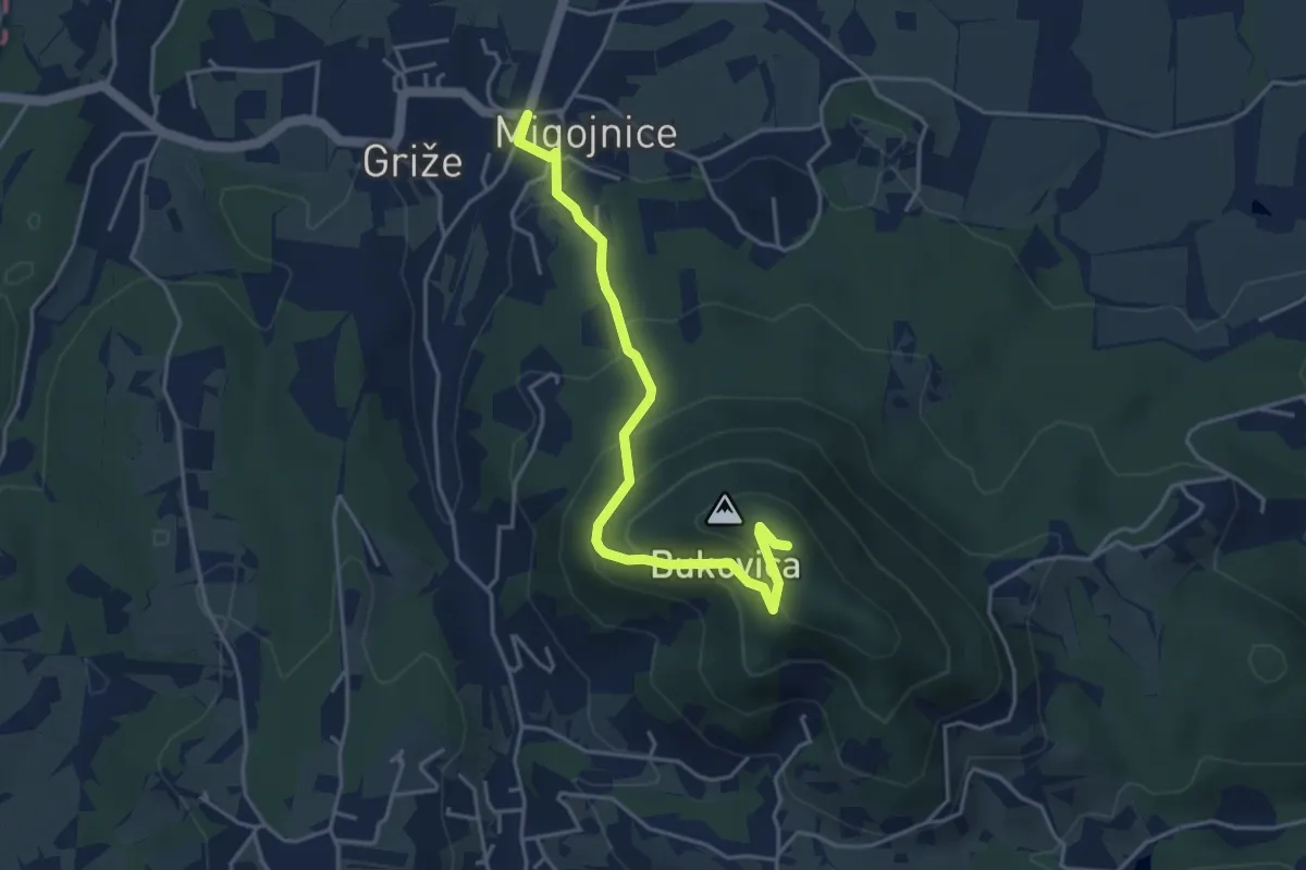
Easy · Summit
Migojnice - Bukovica
4.2 km · ↑ 305 m · 1 h 39 min · 15 km away
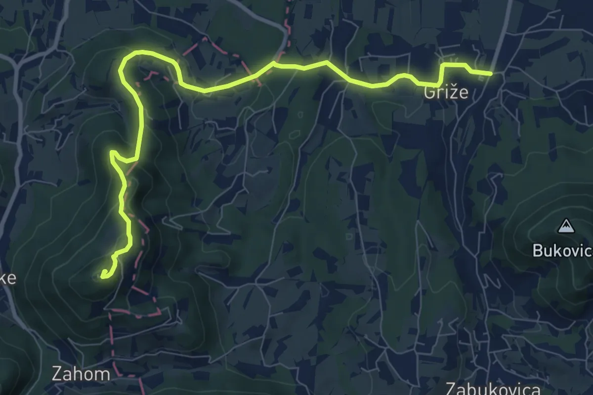
Medium · Summit
Griže - Lajnarjev hrib - Hom
9.3 km · ↑ 400 m · 3 h 4 min · 15 km away
Medium · Summit
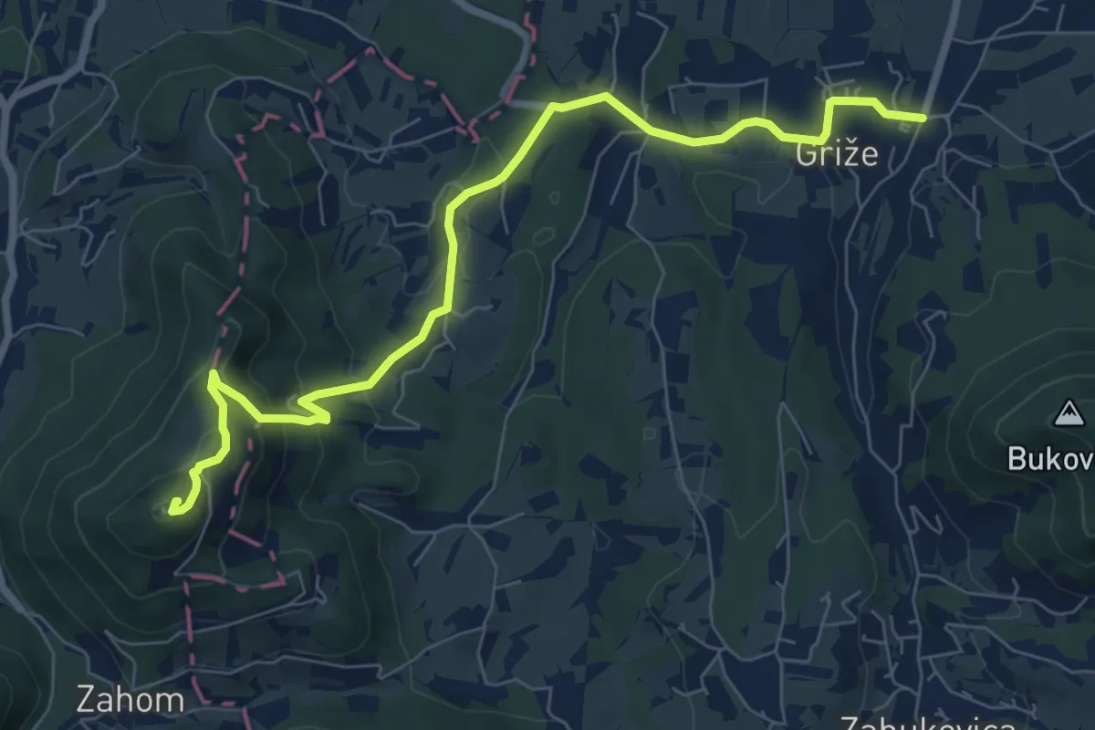
Griže - Hom
8.2 km · ↑ 425 m · 2 h 51 min · 15 km away
Medium · Cabin
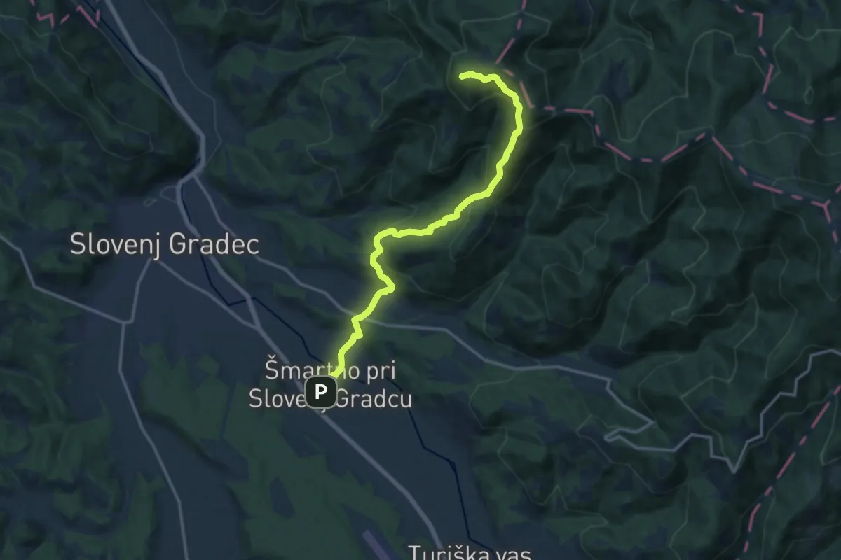
Šmartno - Koča pod Kremžarjevim vrhom
13.0 km · ↑ 746 m · 4 h 41 min · 15 km away
Medium · Summit
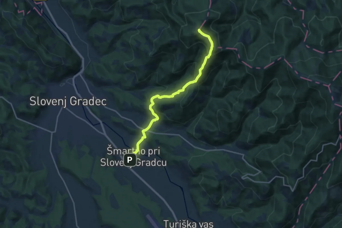
Šmartno - Kremžarjev vrh
12.7 km · ↑ 736 m · 4 h 36 min · 15 km away
Medium · Trail
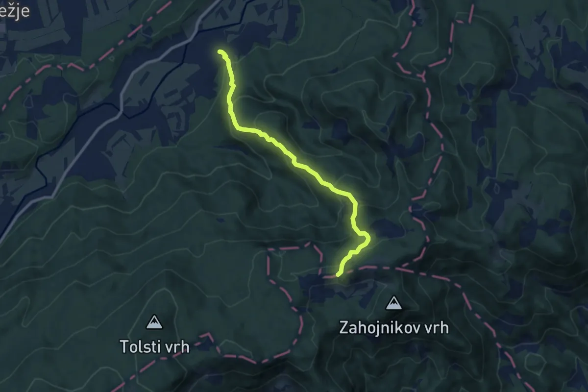
Kokarje - Čreta
7.8 km · ↑ 574 m · 3 h 4 min · 15 km away