Trails near Vrhnika
77 hikes starting within 15 km, nearest first.
Nearest first, page 2 of 2
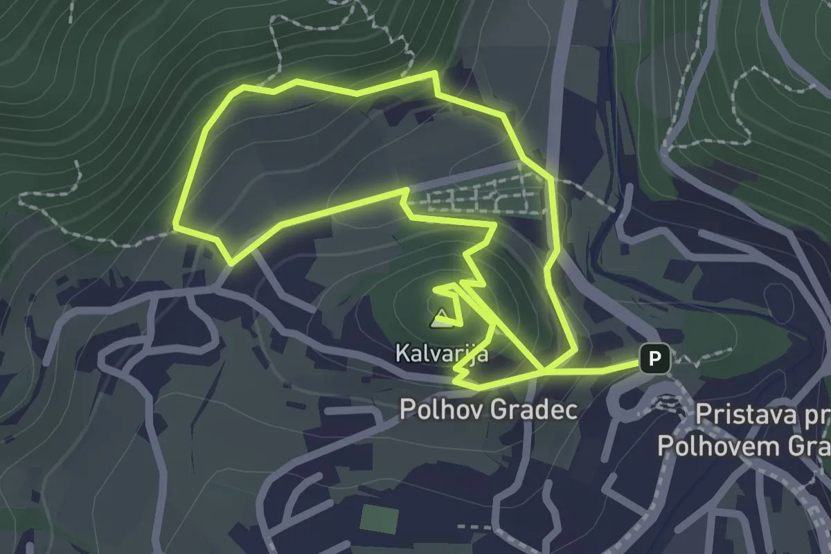
Easy · Summit
Blagajeva pot
4.2 km · ↑ 224 m · 1 h 29 min · 11 km away
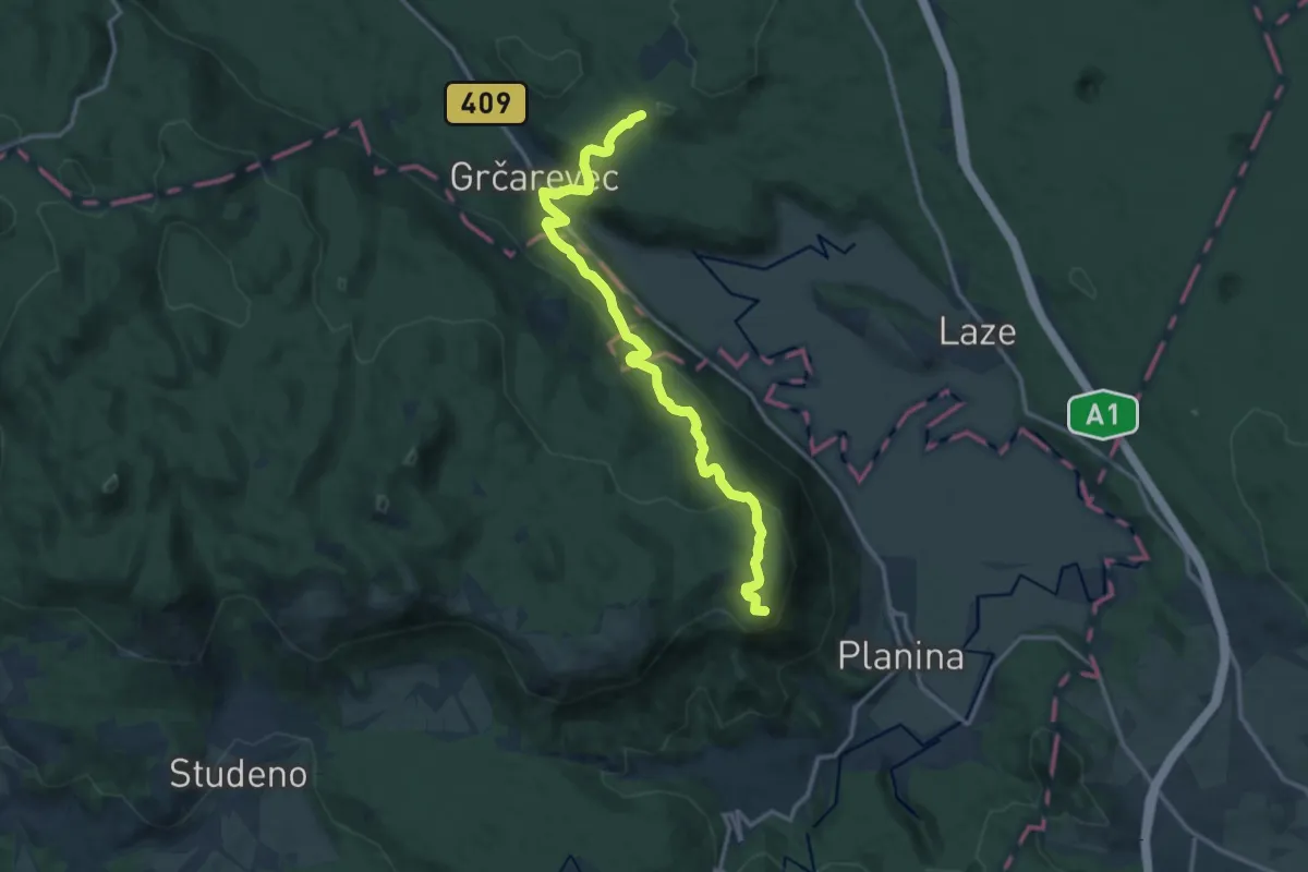
Medium · Summit
Jakobova pot (var.)
7.2 km · ↑ 401 m · 2 h 32 min · 11 km away
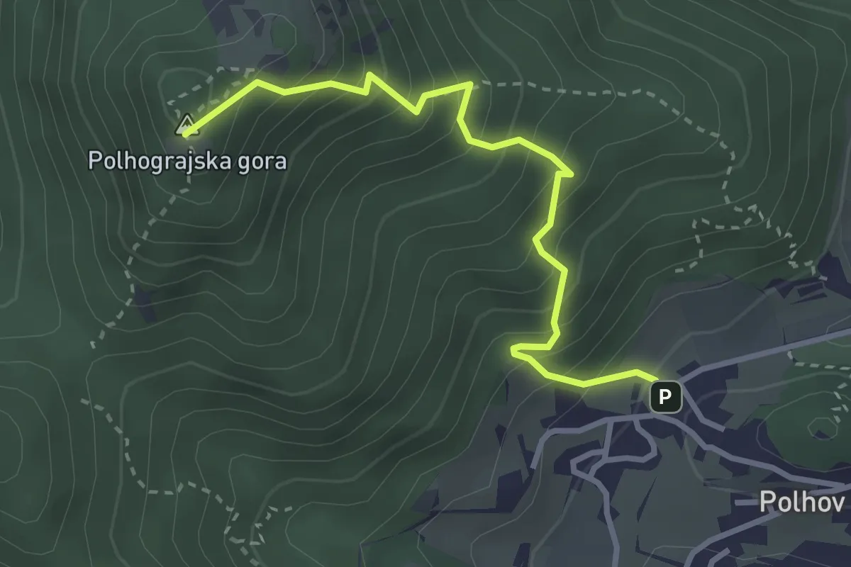
Medium · Summit
Grajski park – Polhograjska gora
3.1 km · ↑ 422 m · 1 h 39 min · 11 km away
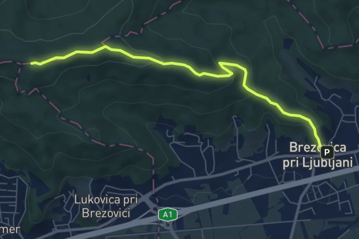
Easy · Summit
Brezovica - Debeli hrib
6.3 km · ↑ 228 m · 1 h 59 min · 11 km away
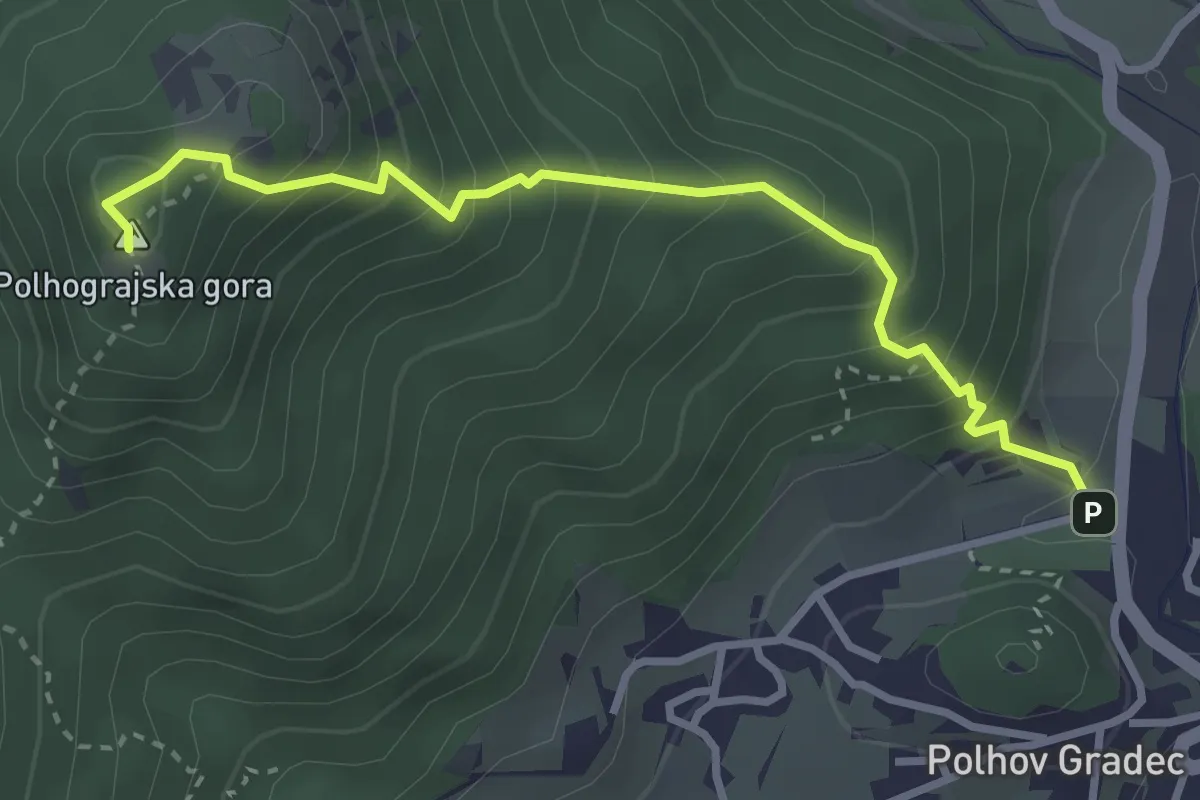
Medium · Summit
Polhov Gradec - Polhograjska gora
3.3 km · ↑ 406 m · 1 h 39 min · 11 km away
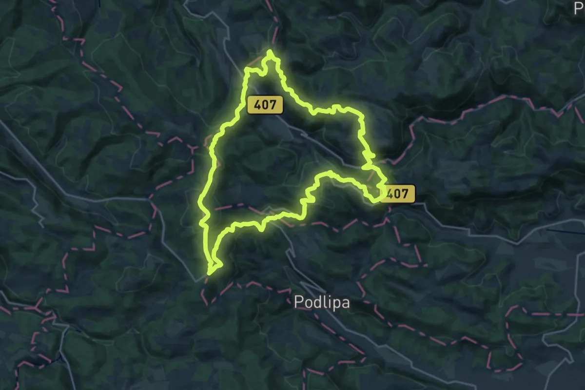
Demanding · Summit
Šentjoška planinska pot
19.9 km · ↑ 875 m · 6 h 52 min · 11 km away
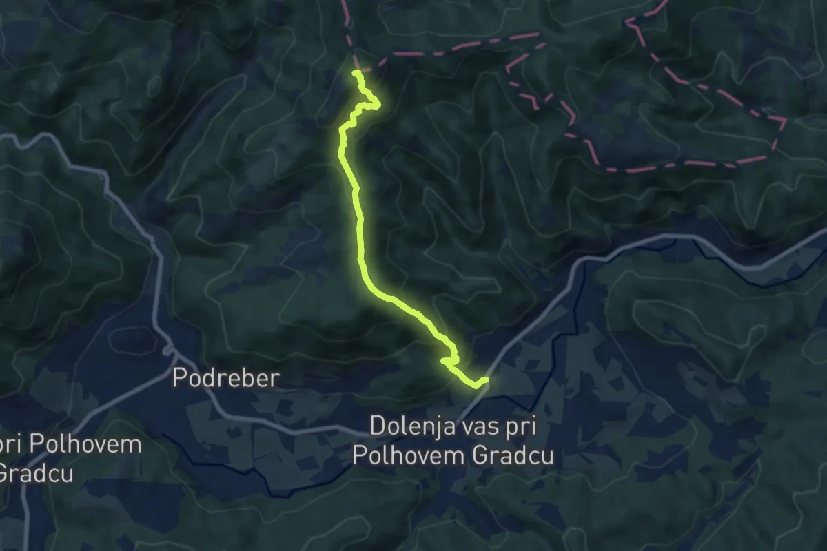
Demanding · Summit
Dvor - Grmada
6.7 km · ↑ 612 m · 2 h 54 min · 11 km away
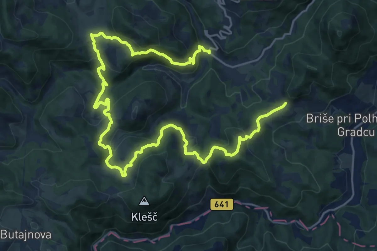
Demanding · Trail
Setnik - Srednji Vrh - Praproče
20.7 km · ↑ 1114 m · 7 h 18 min · 12 km away
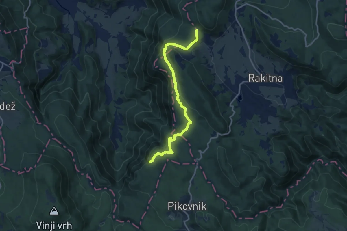
Medium · Summit
Vrh Dola - Krimska jama
10.6 km · ↑ 361 m · 3 h 17 min · 12 km away
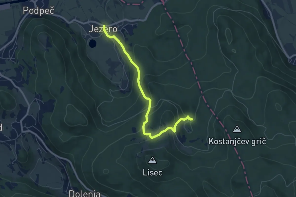
Medium · Trail
Jezero - Planinca - Ledenica
6.2 km · ↑ 320 m · 2 h 10 min · 12 km away
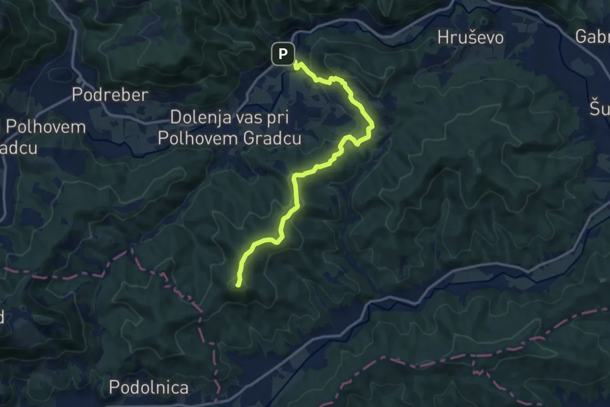
Medium · Summit
Belica - Ključ
11.2 km · ↑ 455 m · 3 h 38 min · 12 km away
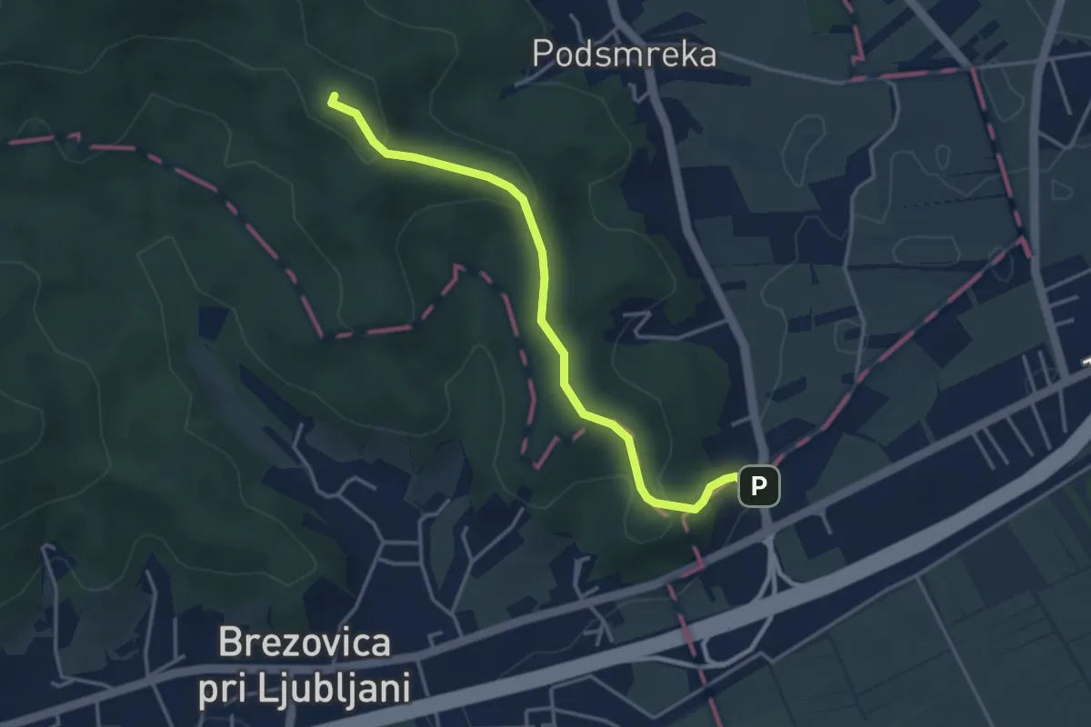
Easy · Summit
Gorjanc - Kamenščica
3.7 km · ↑ 167 m · 1 h 15 min · 13 km away
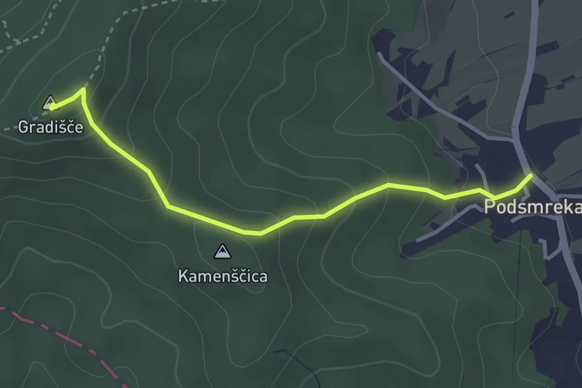
Easy · Summit
Podsmreka - Gradišče
2.9 km · ↑ 201 m · 1 h 7 min · 13 km away
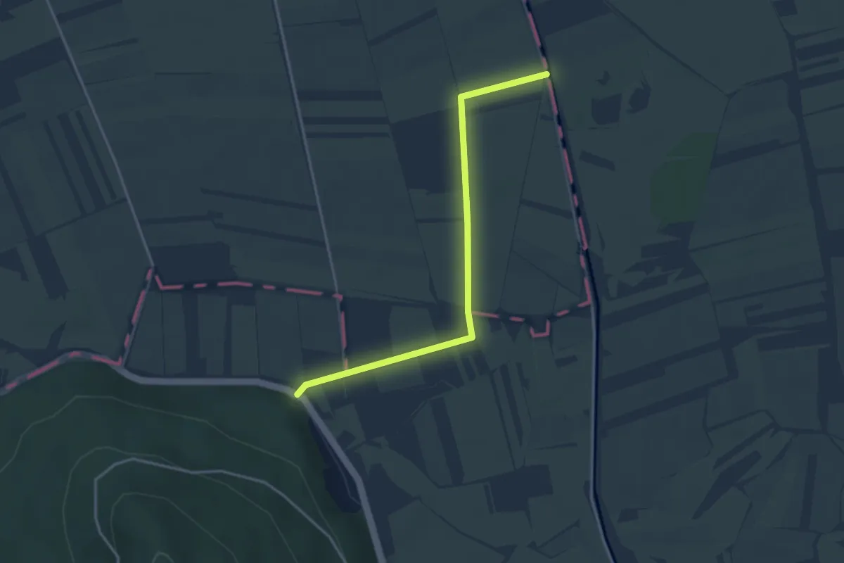
Easy · Trail
Pot Barjanska okna
3.5 km · ↑ 5 m · 50 min · 13 km away
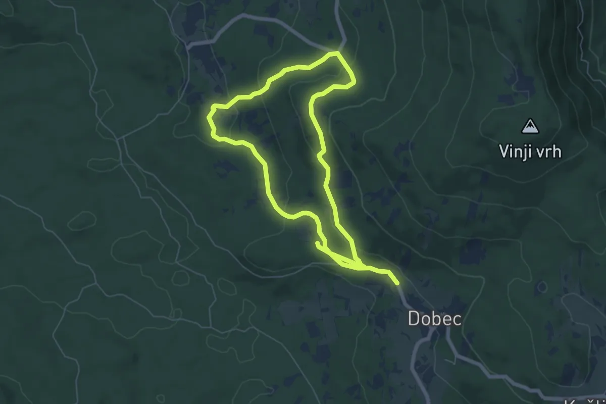
Easy · Trail
Naravoslovna učna pot Menišija
5.6 km · ↑ 180 m · 1 h 46 min · 13 km away
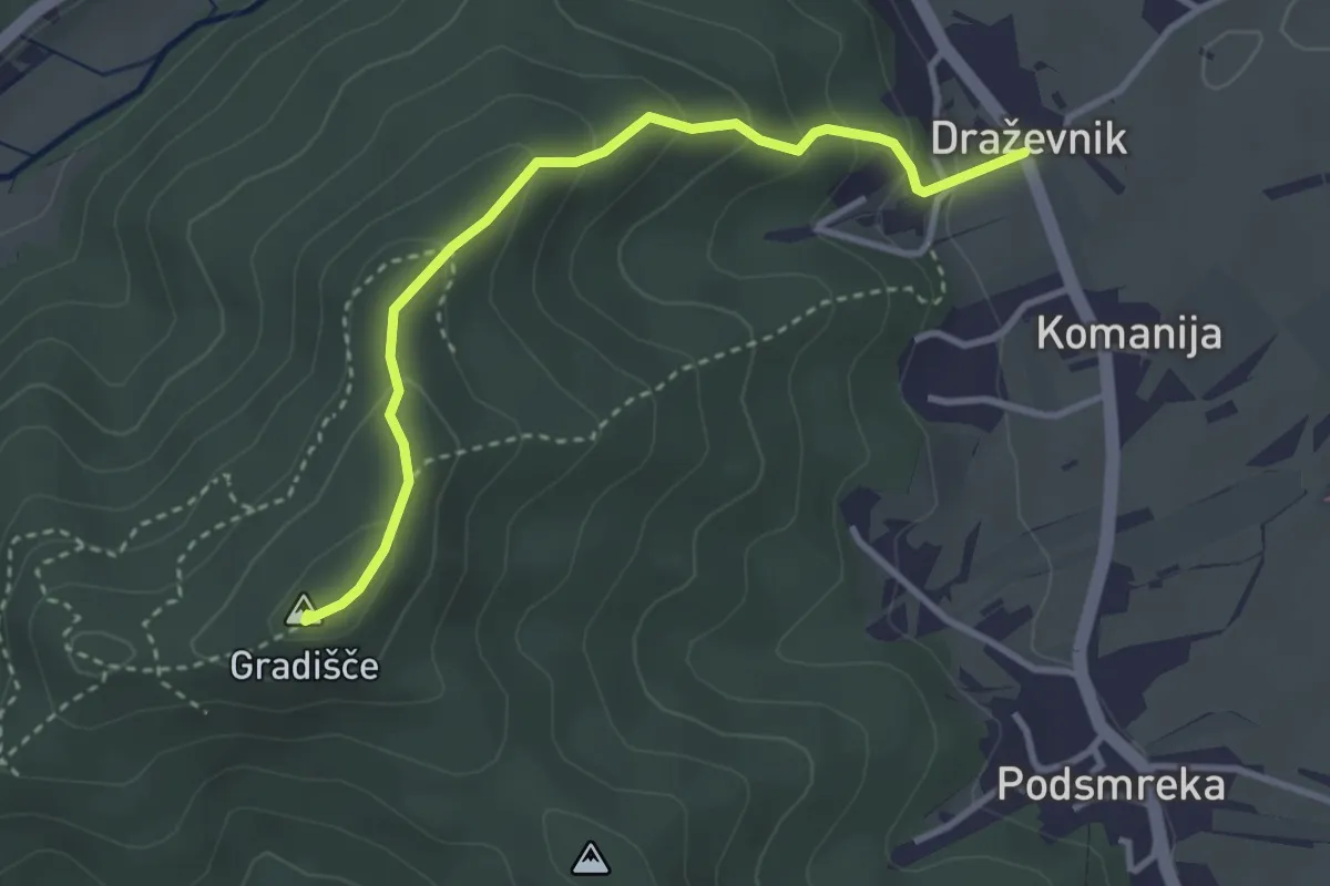
Easy · Summit
Draževnik - Gradišče
3.3 km · ↑ 210 m · 1 h 14 min · 13 km away
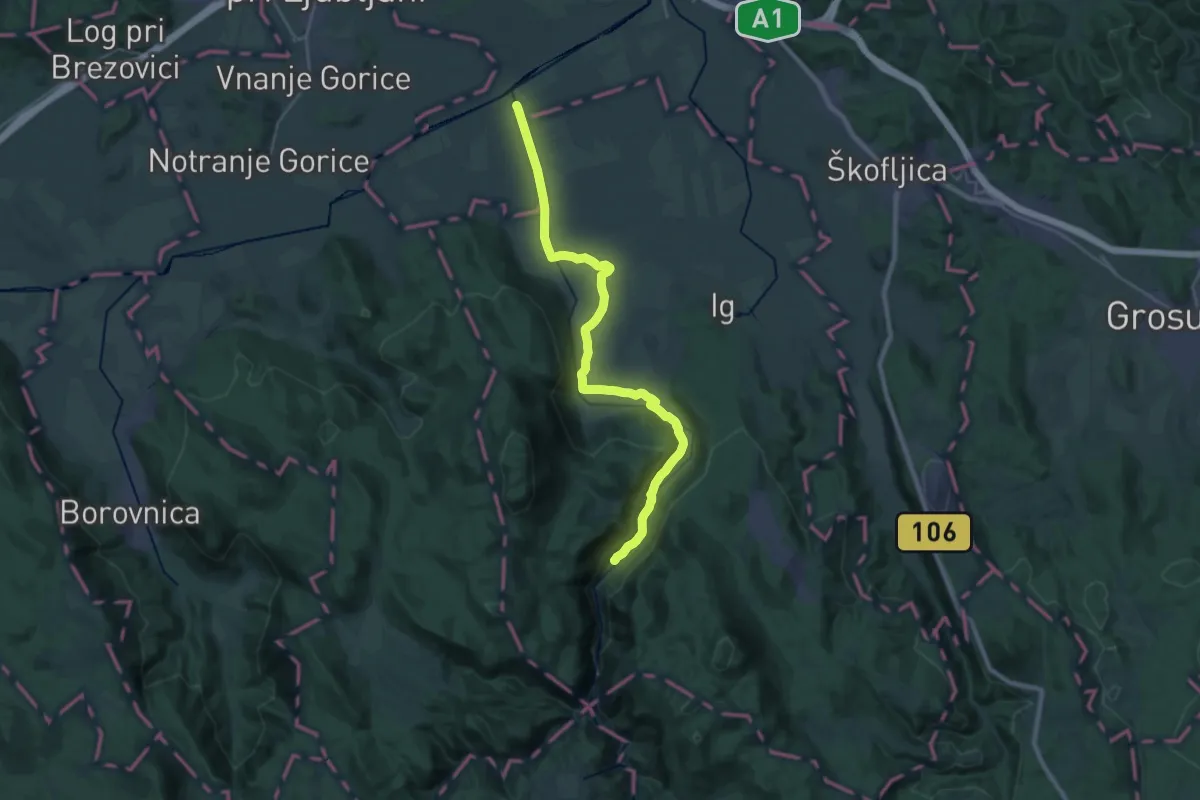
Demanding · Trail
Pot ob reki Iški - Okljuk
27.1 km · ↑ 165 m · 6 h 46 min · 14 km away
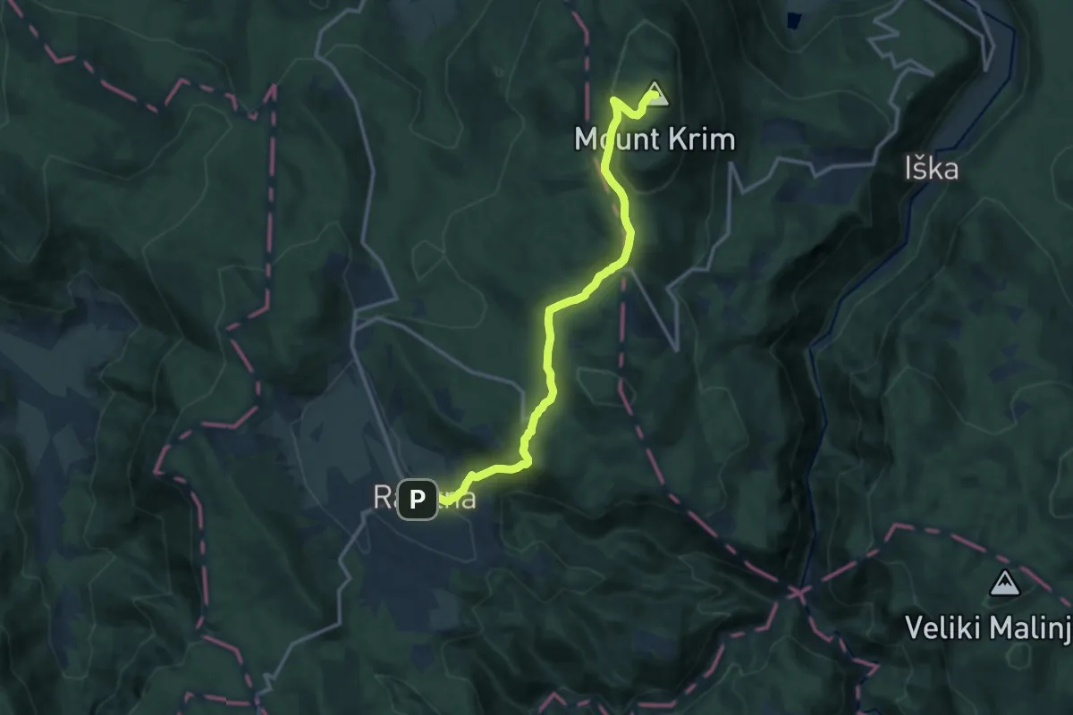
Medium · Summit
Rakitna - Krim
12.8 km · ↑ 467 m · 4 h 3 min · 14 km away
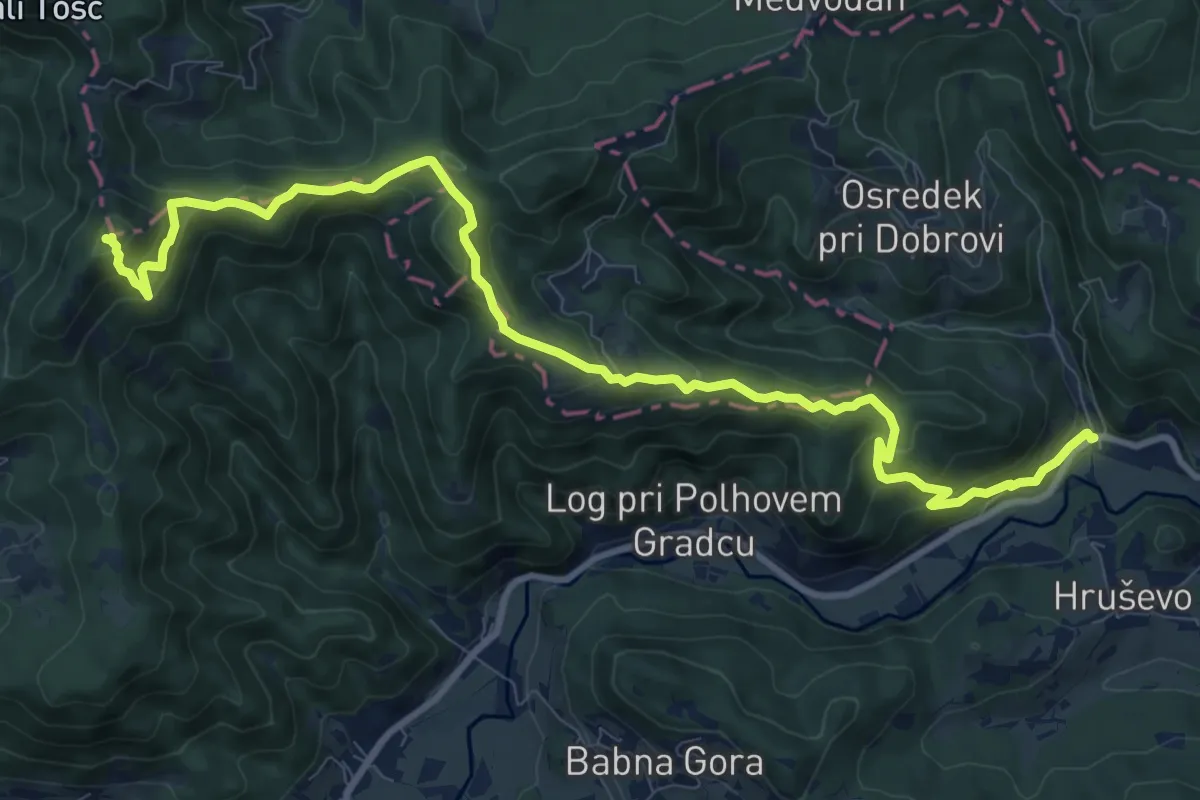
Demanding · Summit
Gabrje - Grmada
12.1 km · ↑ 814 m · 4 h 37 min · 14 km away
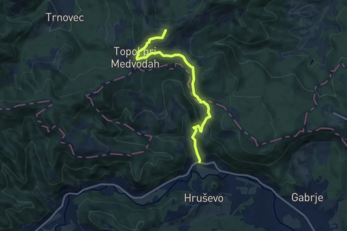
Medium · Summit
Gabrje - Sv. Katarina
8.4 km · ↑ 507 m · 3 h 5 min · 14 km away
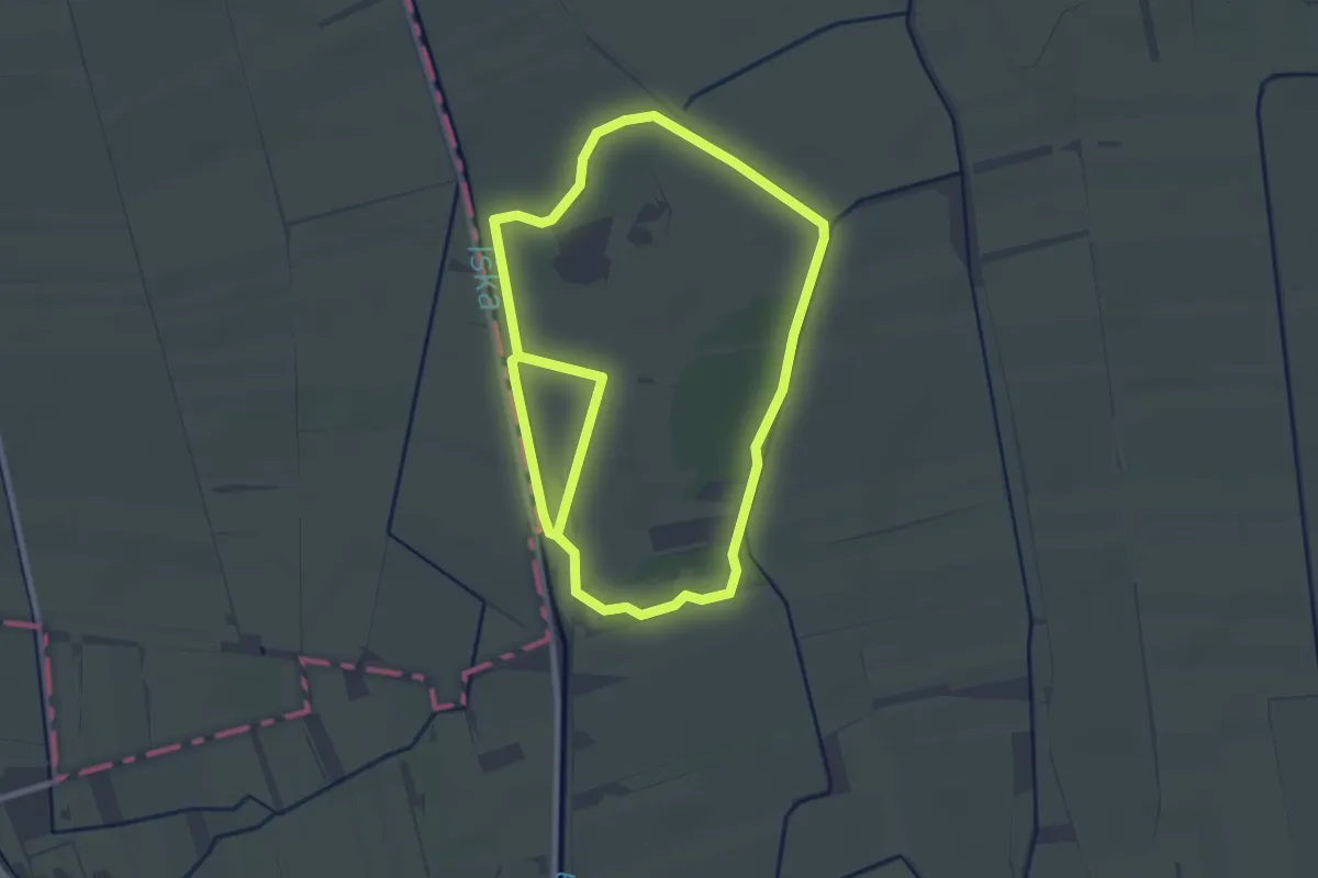
Easy · Trail
Koščeva učna pot
2.7 km · ↑ 0 m · 41 min · 14 km away
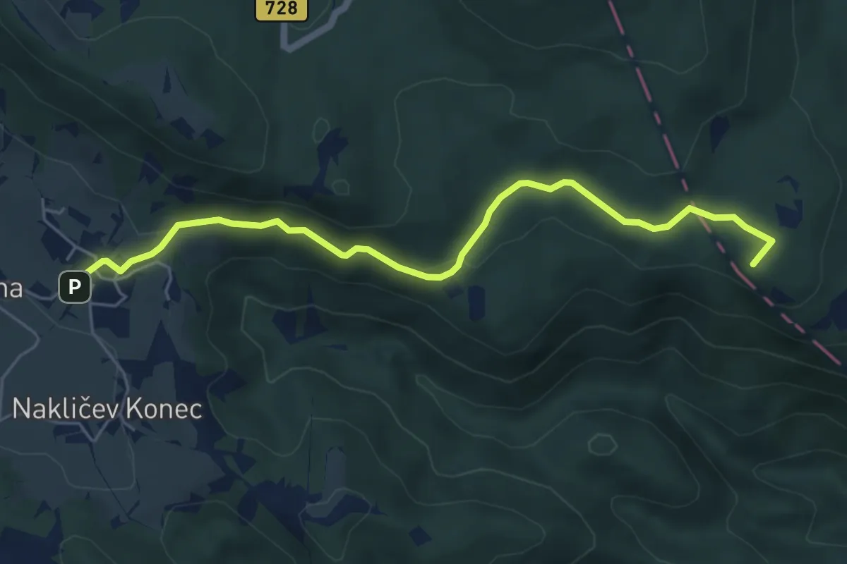
Medium · Summit
Rakitna - Vrbica
5.7 km · ↑ 155 m · 1 h 41 min · 14 km away
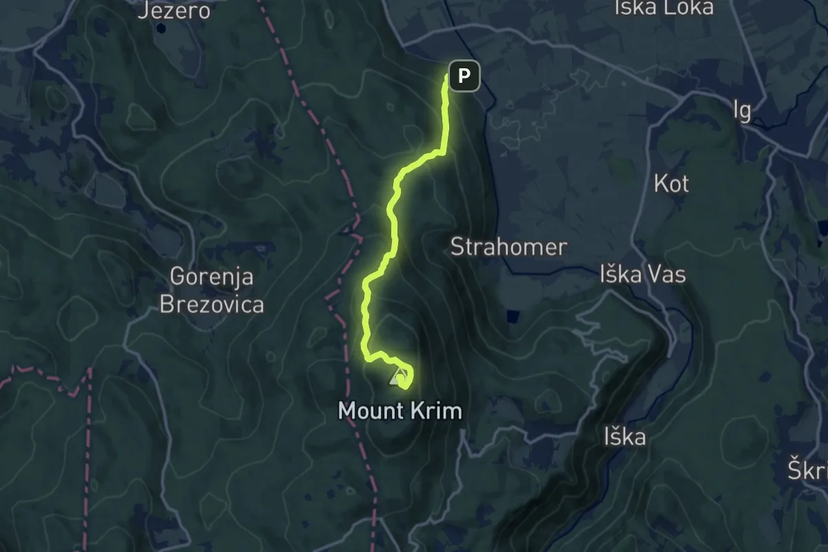
Medium · Summit
Tomišelj - Strmec - Krim
11.2 km · ↑ 775 m · 4 h 19 min · 14 km away
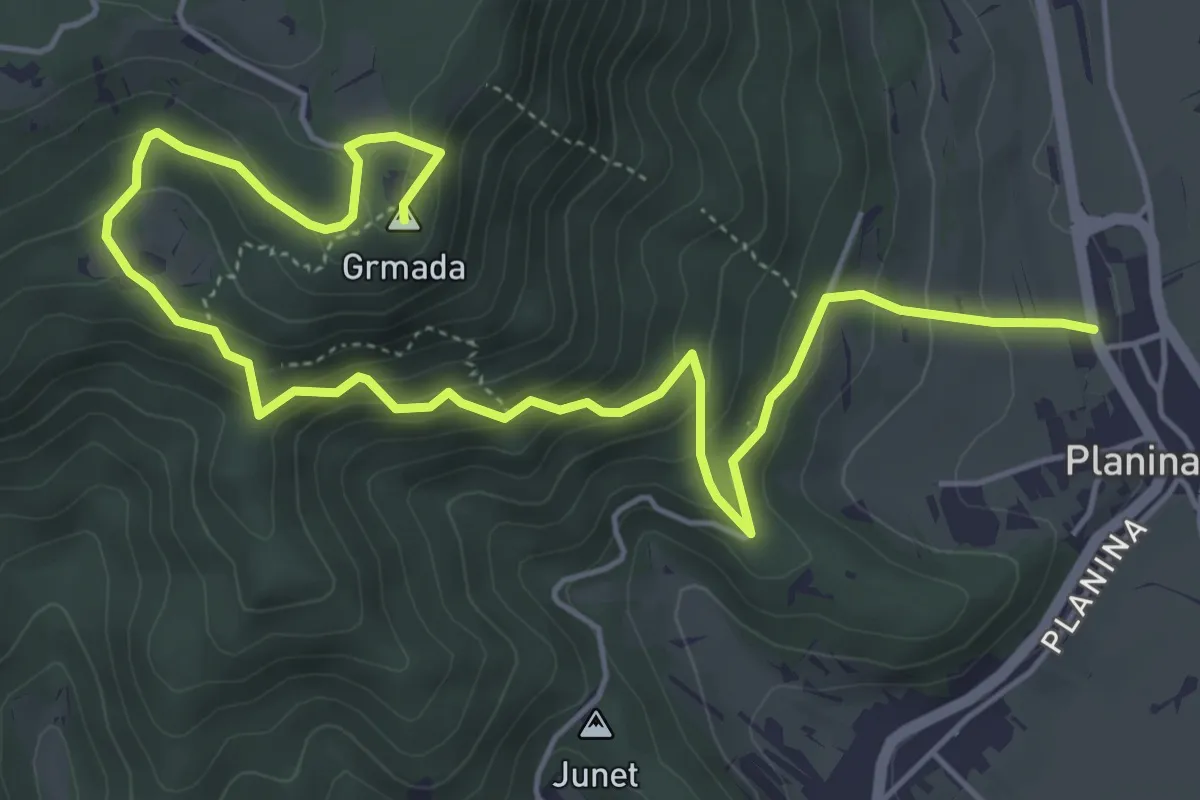
Medium · Summit
Planina - Grmada
7.3 km · ↑ 528 m · 2 h 52 min · 15 km away
Medium · Summit
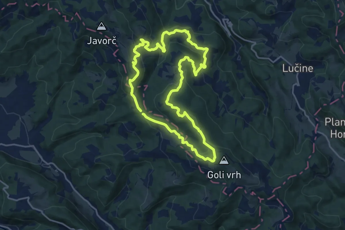
Pot skozi Zalo
11.3 km · ↑ 459 m · 3 h 50 min · 15 km away
Medium · Summit
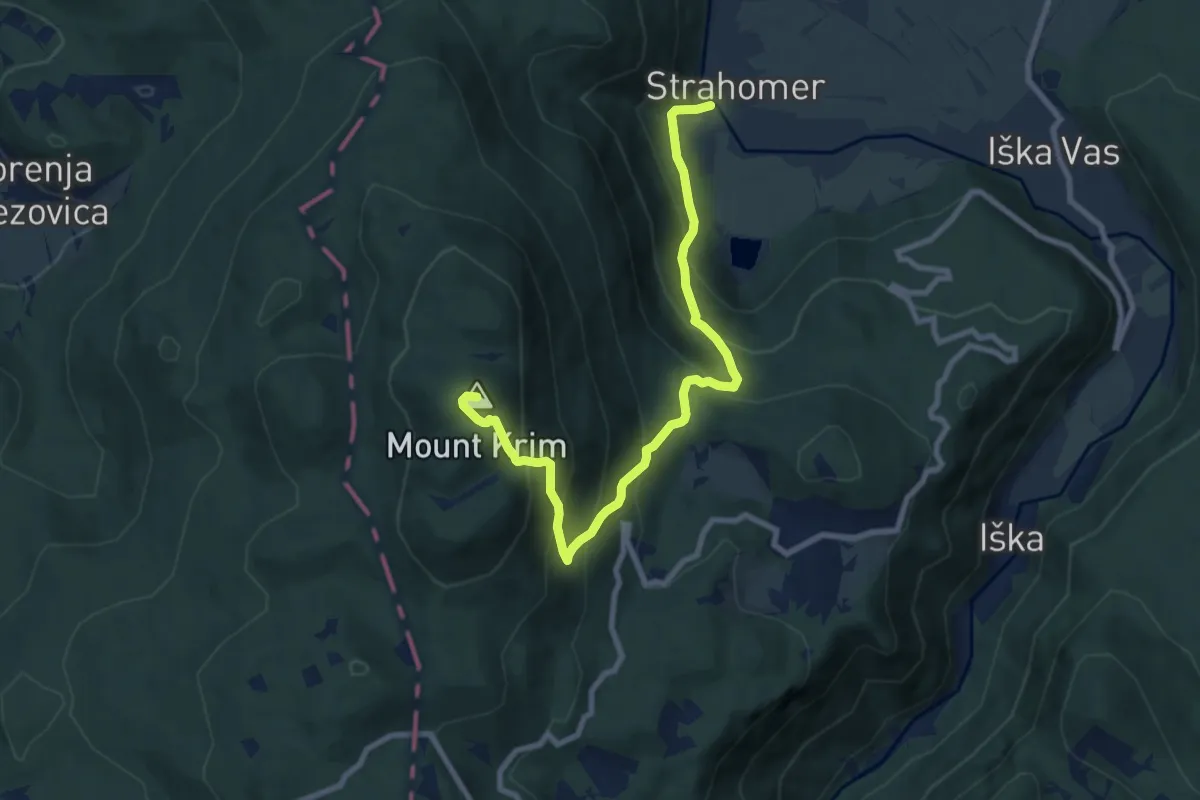
Strahomer - Kramarica - Krim
9.3 km · ↑ 787 m · 3 h 53 min · 15 km away
Medium · Summit
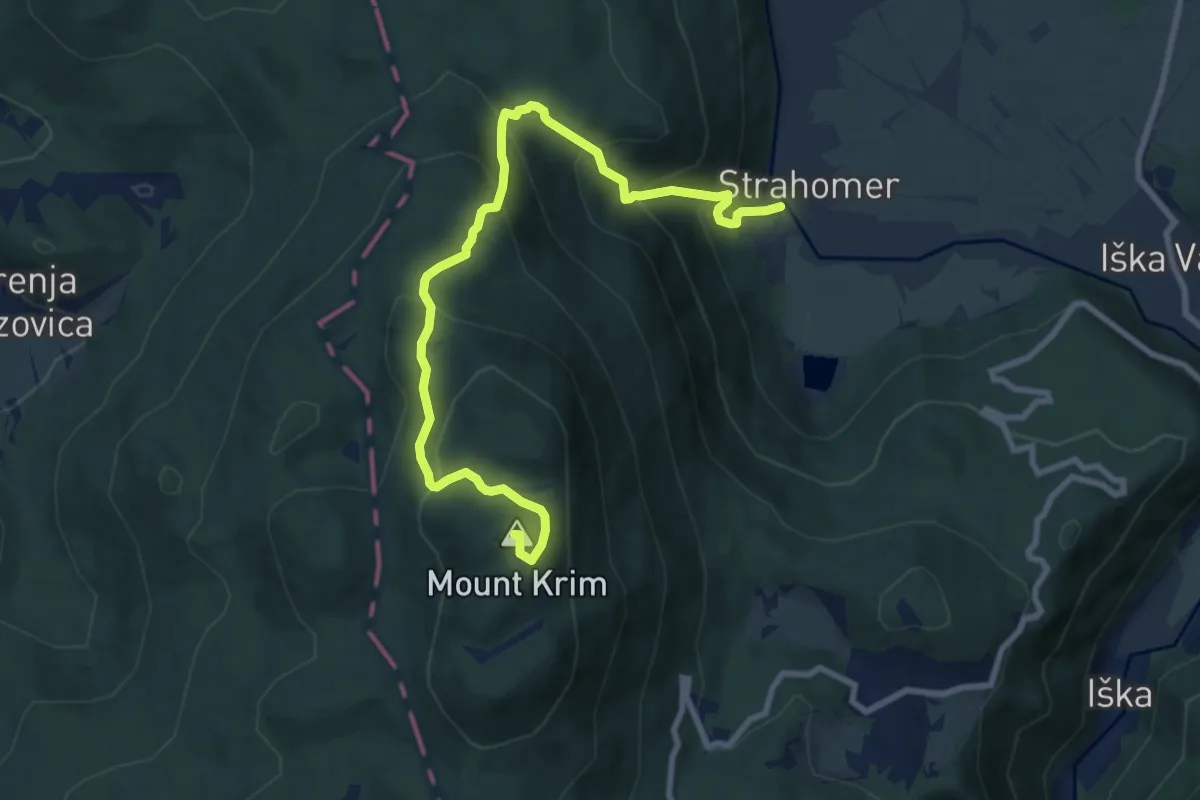
Strahomer - Strmec - Krim
9.8 km · ↑ 779 m · 4 h · 15 km away
Easy · Pilgrim path
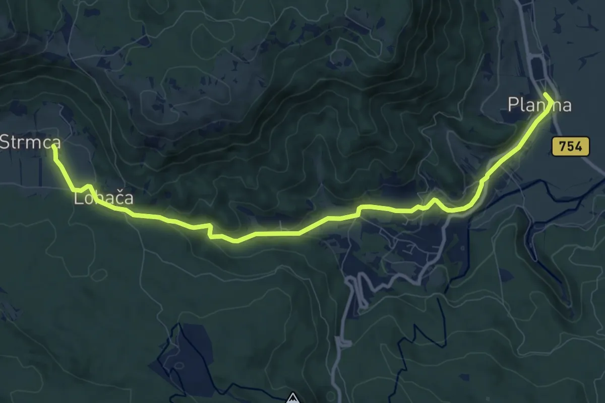
Jakobova pot (var.)
5.4 km · ↑ 223 m · 1 h 45 min · 15 km away
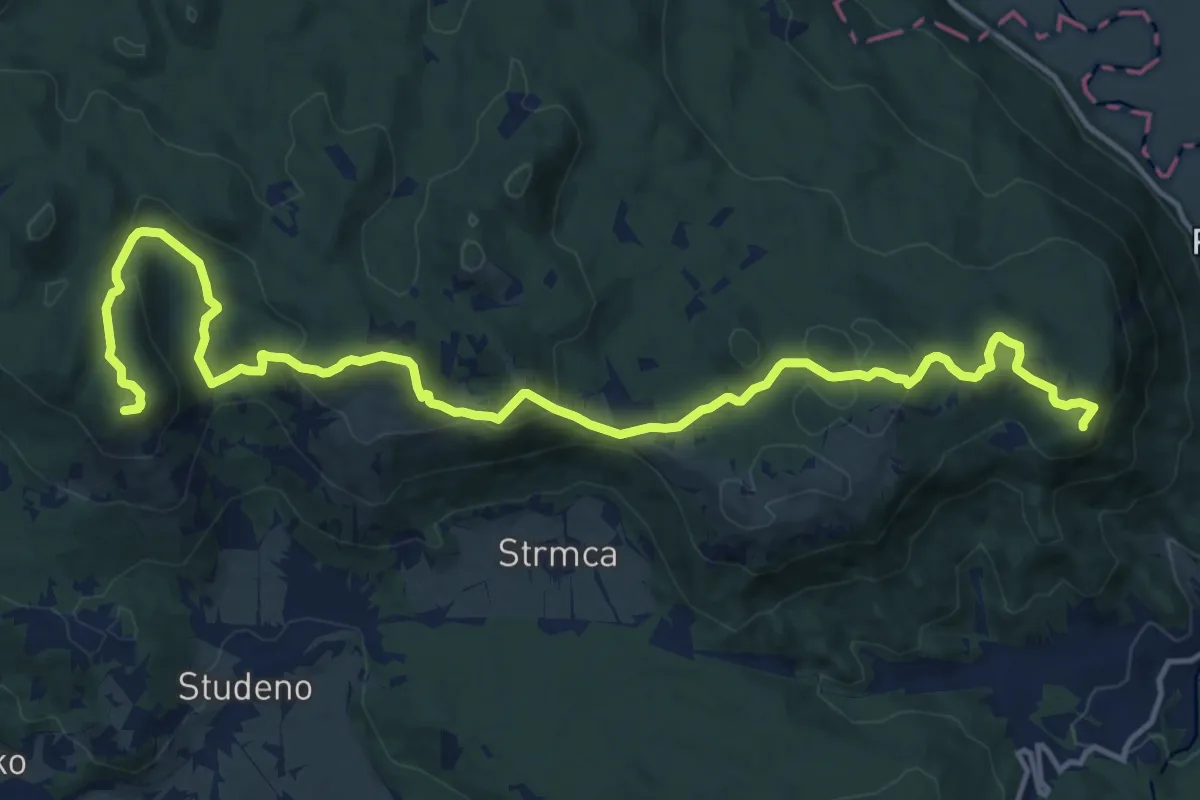
Demanding · Summit
Studeno - Grmada
18.2 km · ↑ 789 m · 6 h · 15 km away