Trails near Zreče
91 hikes starting within 15 km, nearest first.
Nearest first, page 1 of 2
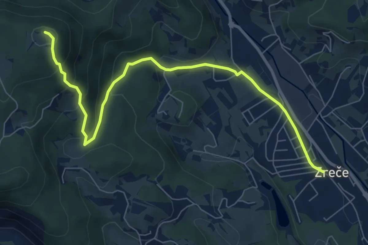
Medium · Summit
Zreče - Golek
7.3 km · ↑ 382 m · 2 h 33 min · under 1 km away
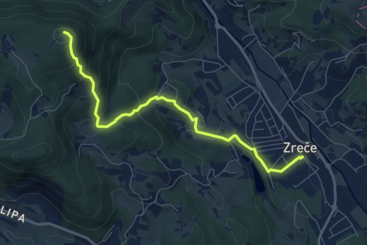
Medium · Summit
Zreče - Ančka - Golek
7.0 km · ↑ 409 m · 2 h 32 min · under 1 km away
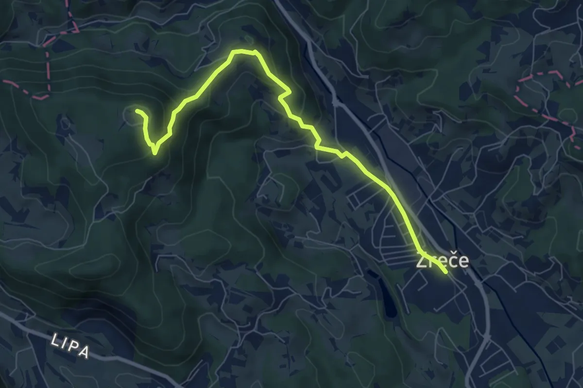
Medium · Summit
Zreče - Bork - Golek
7.6 km · ↑ 382 m · 2 h 37 min · under 1 km away
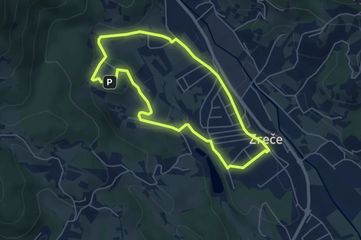
Easy · Trail
Izletniška kmetija Ančka
4.1 km · ↑ 79 m · 1 h 12 min · 1 km away
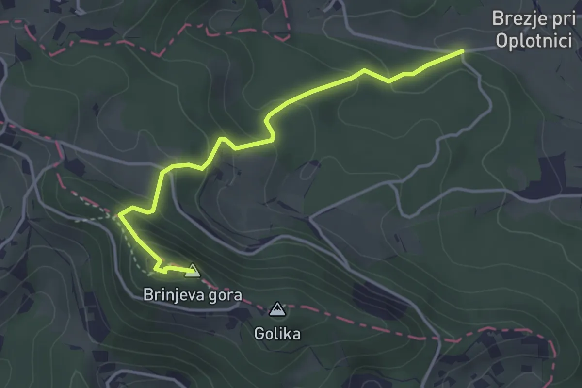
Easy · Summit
Oplotnica - Brinjeva gora (gozdna)
3.6 km · ↑ 227 m · 1 h 20 min · 3 km away
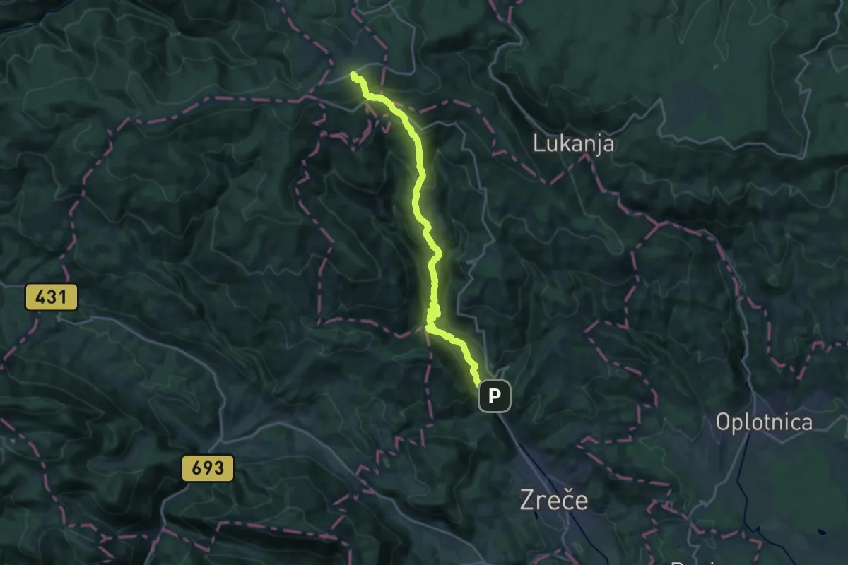
Demanding · Trail
Zreče - Rogla
19.5 km · ↑ 1069 m · 6 h 55 min · 3 km away
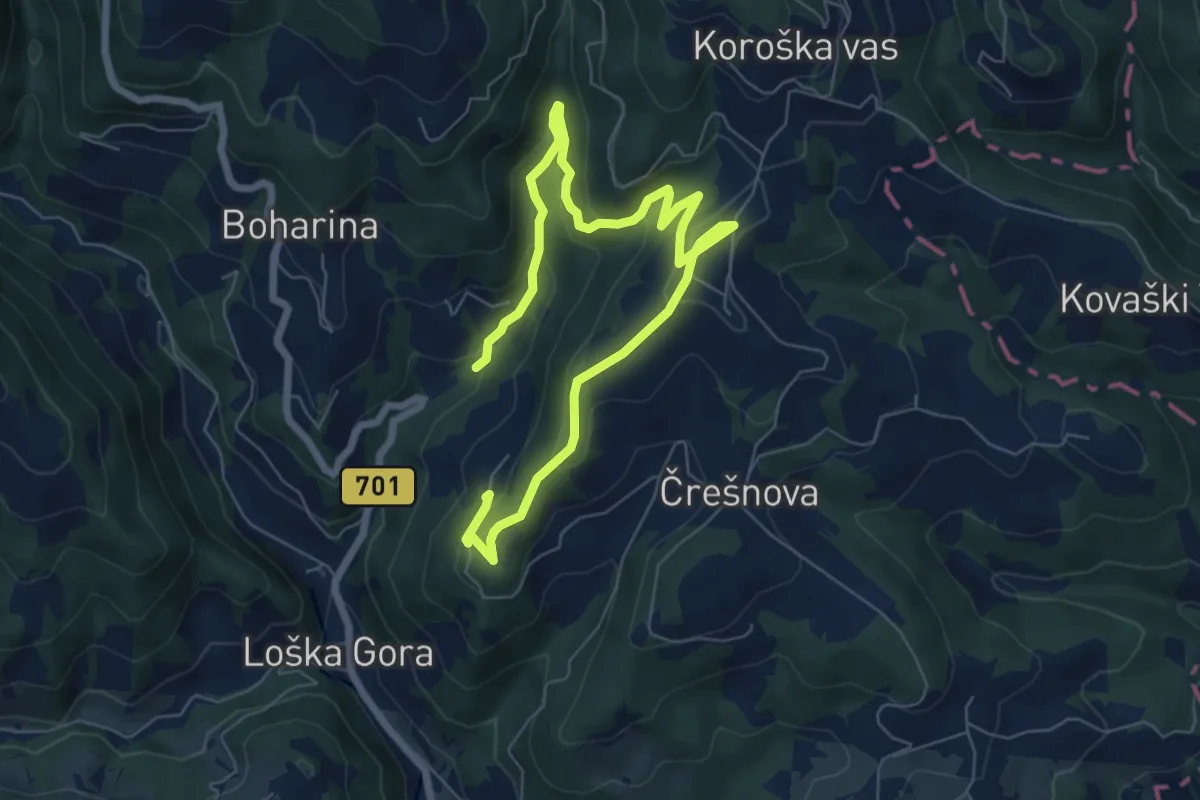
Medium · Trail
Gorenje 3
9.2 km · ↑ 358 m · 2 h 57 min · 3 km away
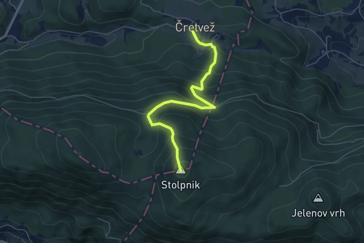
Medium · Summit
Čretvež - Štepih - Stolpnik
5.4 km · ↑ 472 m · 2 h 18 min · 3 km away
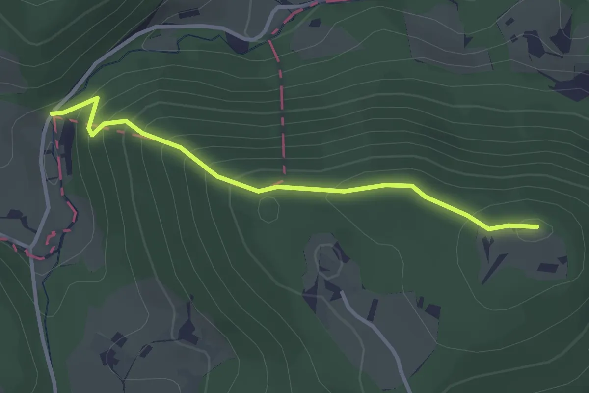
Easy · Summit
Ljubnica - Golek
2.8 km · ↑ 222 m · 1 h 9 min · 4 km away
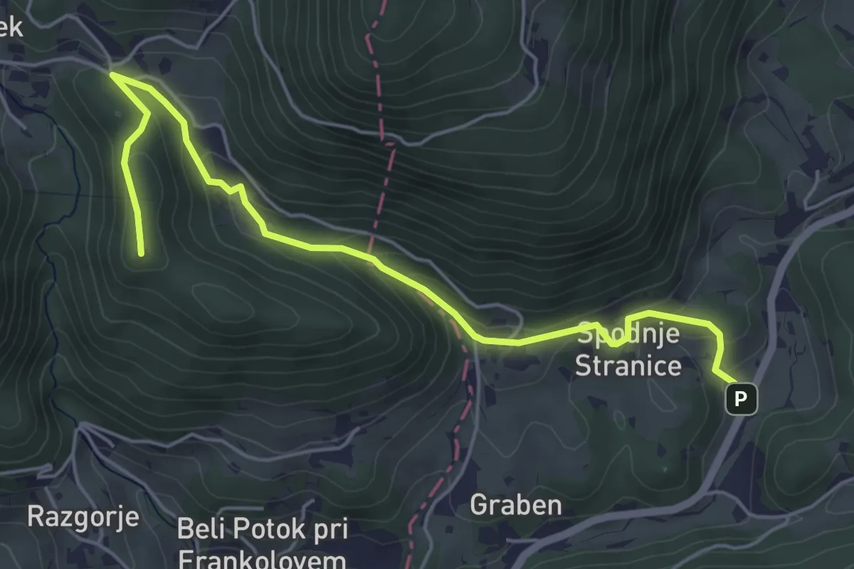
Easy · Summit
Sp. Stranice - Grad Lindek
5.7 km · ↑ 274 m · 1 h 56 min · 4 km away
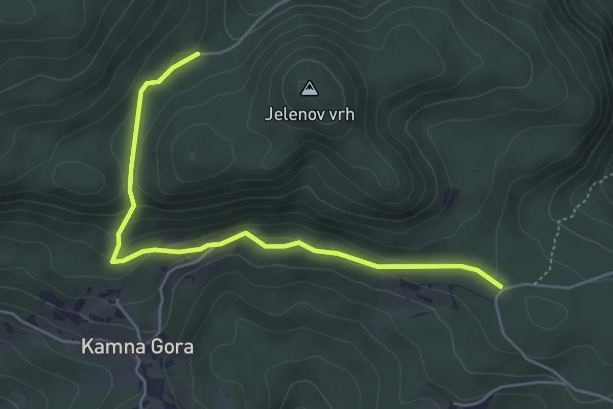
Easy · Trail
Trije križi - Kamna Gora - Grofov štant
4.6 km · ↑ 147 m · 1 h 25 min · 4 km away
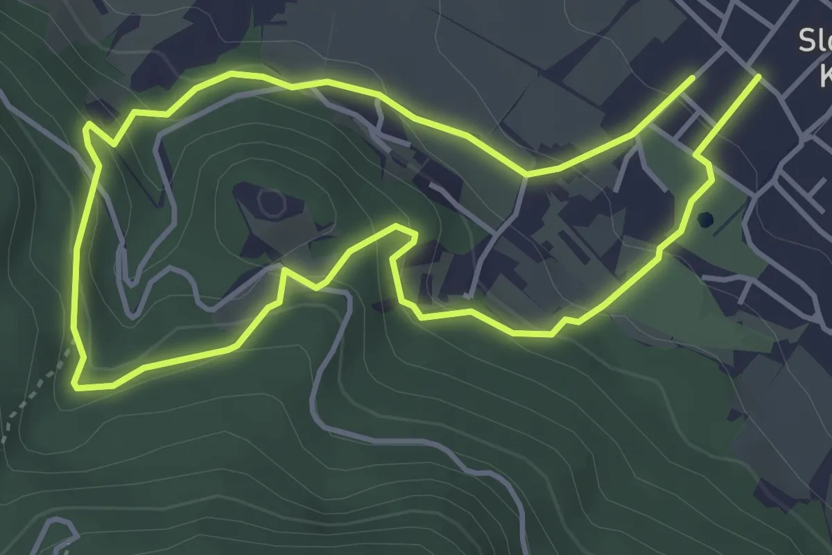
Easy · Trail
Zmajčkova pot
3.6 km · ↑ 205 m · 1 h 21 min · 4 km away
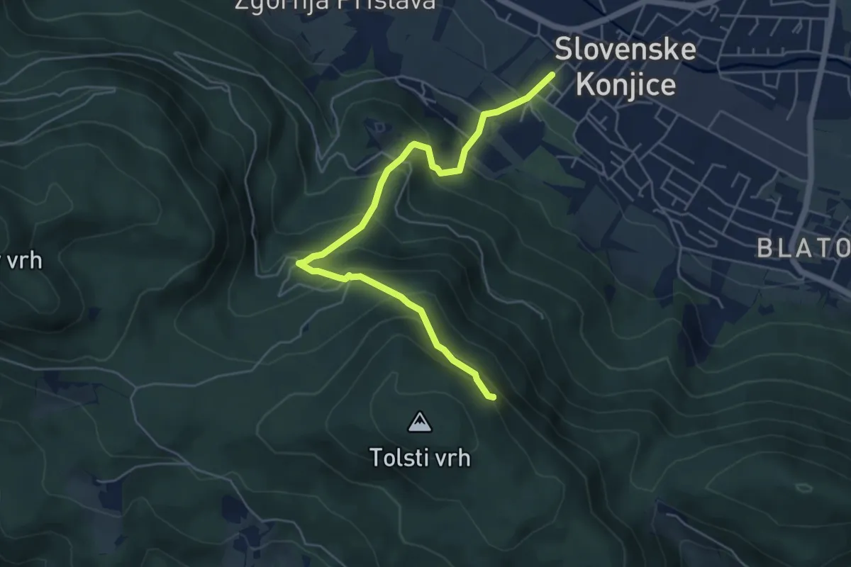
Medium · Summit
Sl. Konjice - Skala
5.5 km · ↑ 458 m · 2 h 18 min · 4 km away
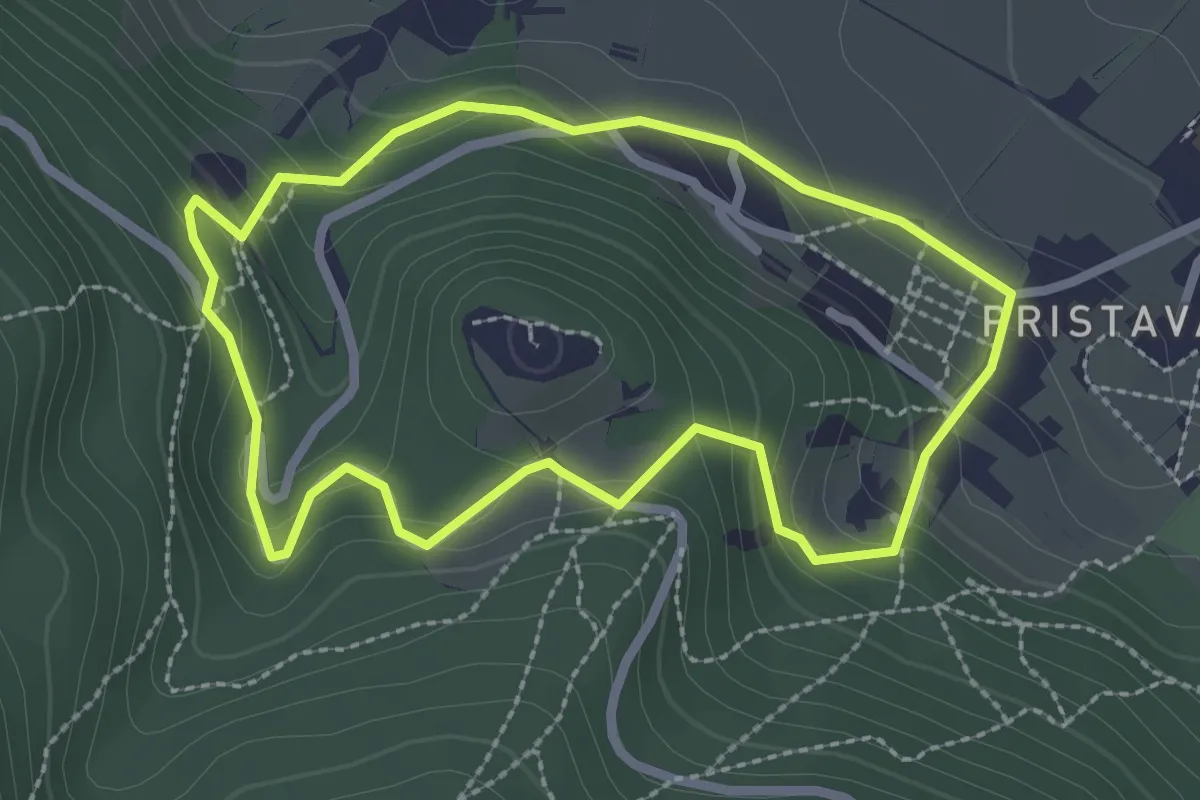
Easy · Trail
Krožna pot na grad
2.4 km · ↑ 138 m · 54 min · 4 km away
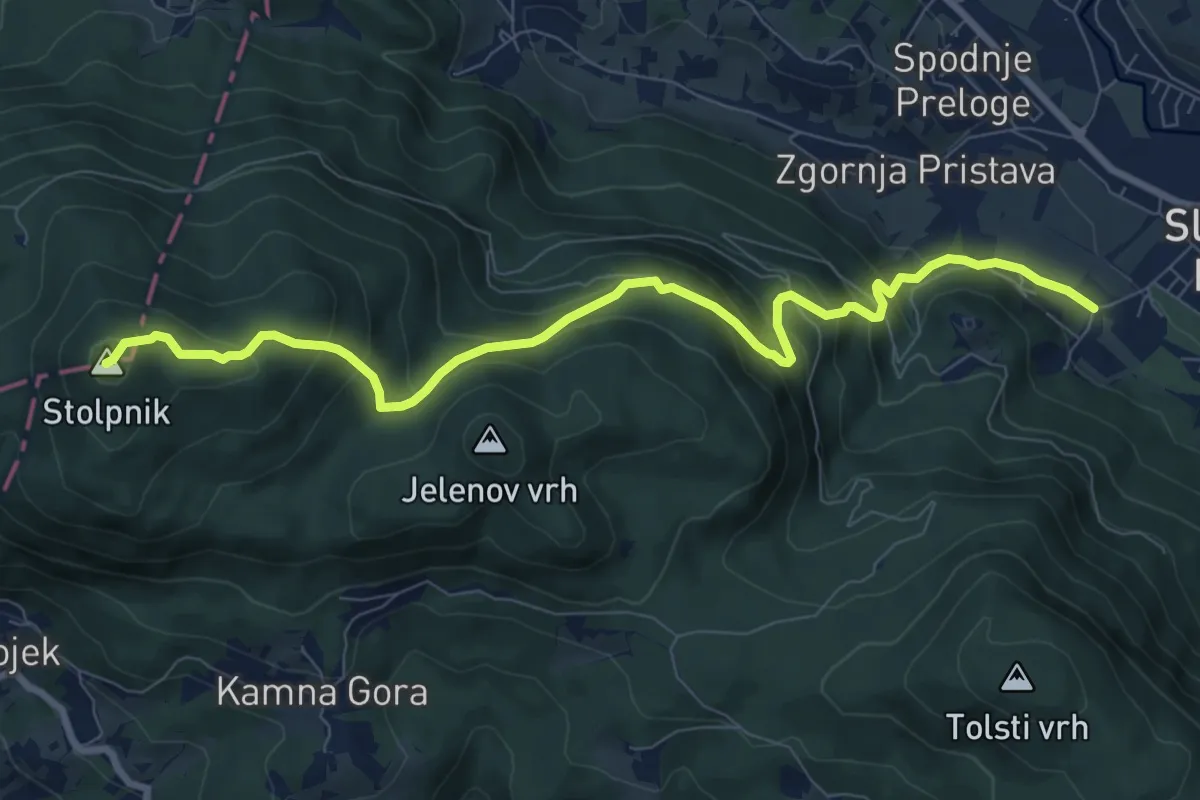
Medium · Summit
Sl. Konjice - Stolpnik
9.3 km · ↑ 653 m · 3 h 37 min · 4 km away
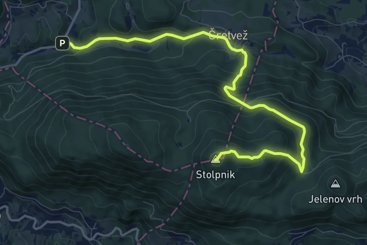
Medium · Summit
Sp. Stranice - Stolpnik
11.5 km · ↑ 663 m · 4 h 9 min · 4 km away
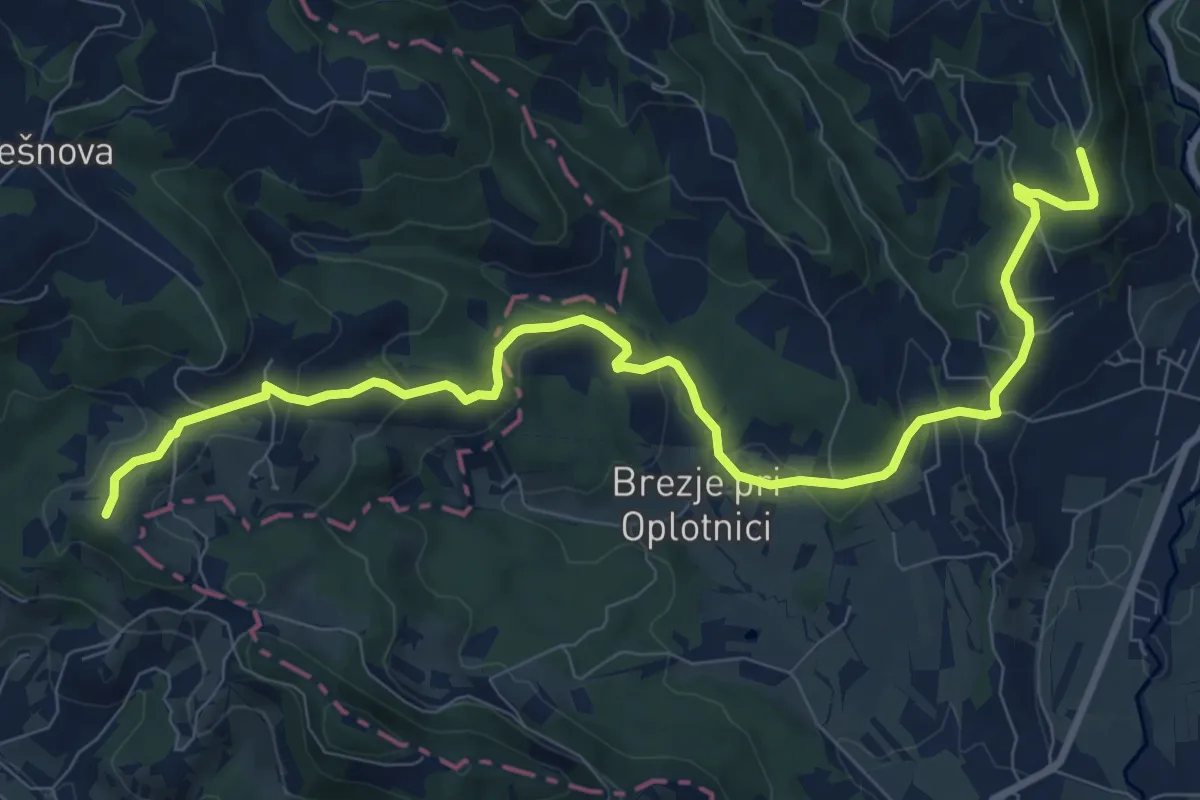
Medium · Trail
Martinova pot
10.9 km · ↑ 408 m · 3 h 27 min · 5 km away
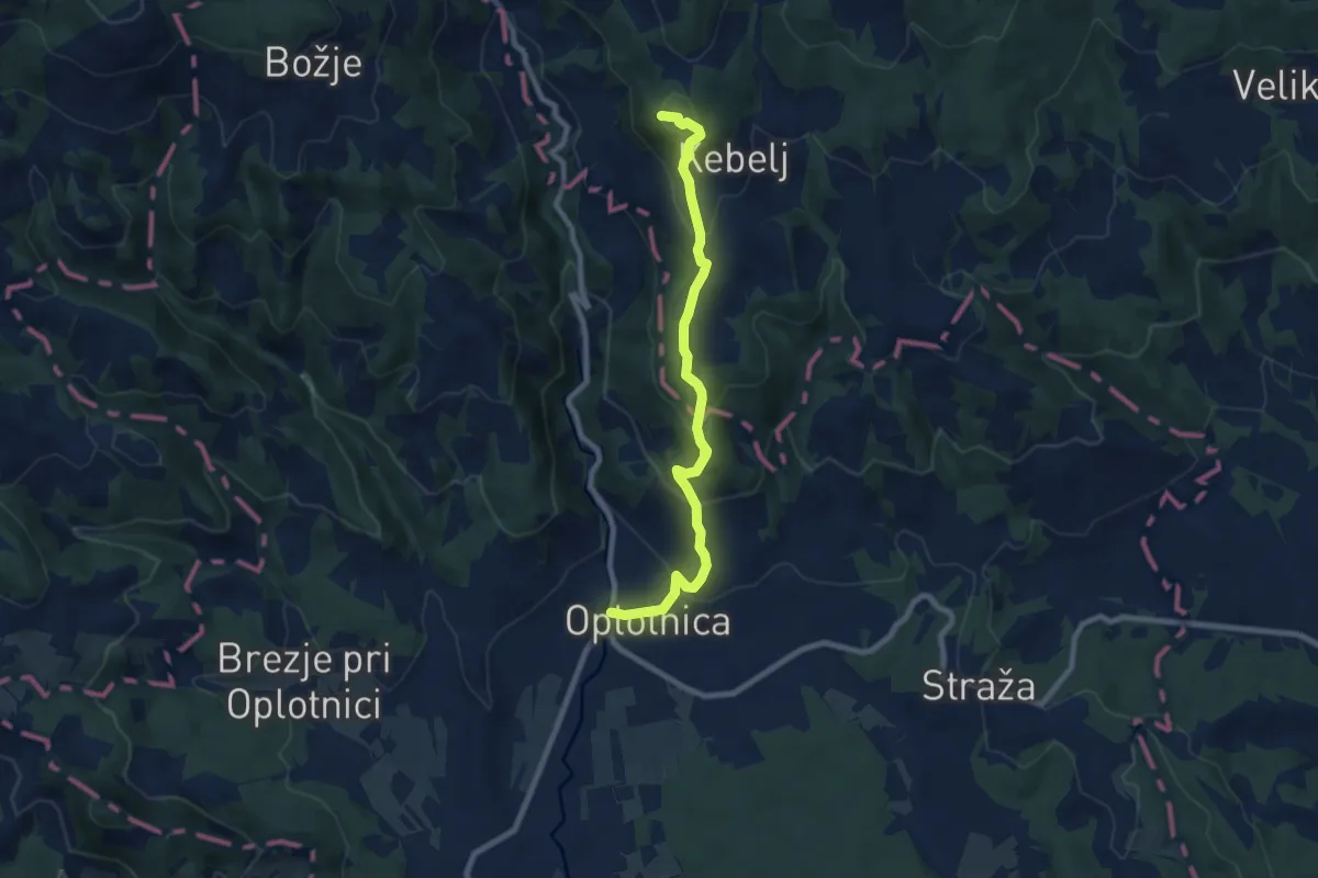
Medium · Summit
Oplotnica - Trije kralji
8.2 km · ↑ 429 m · 2 h 52 min · 5 km away
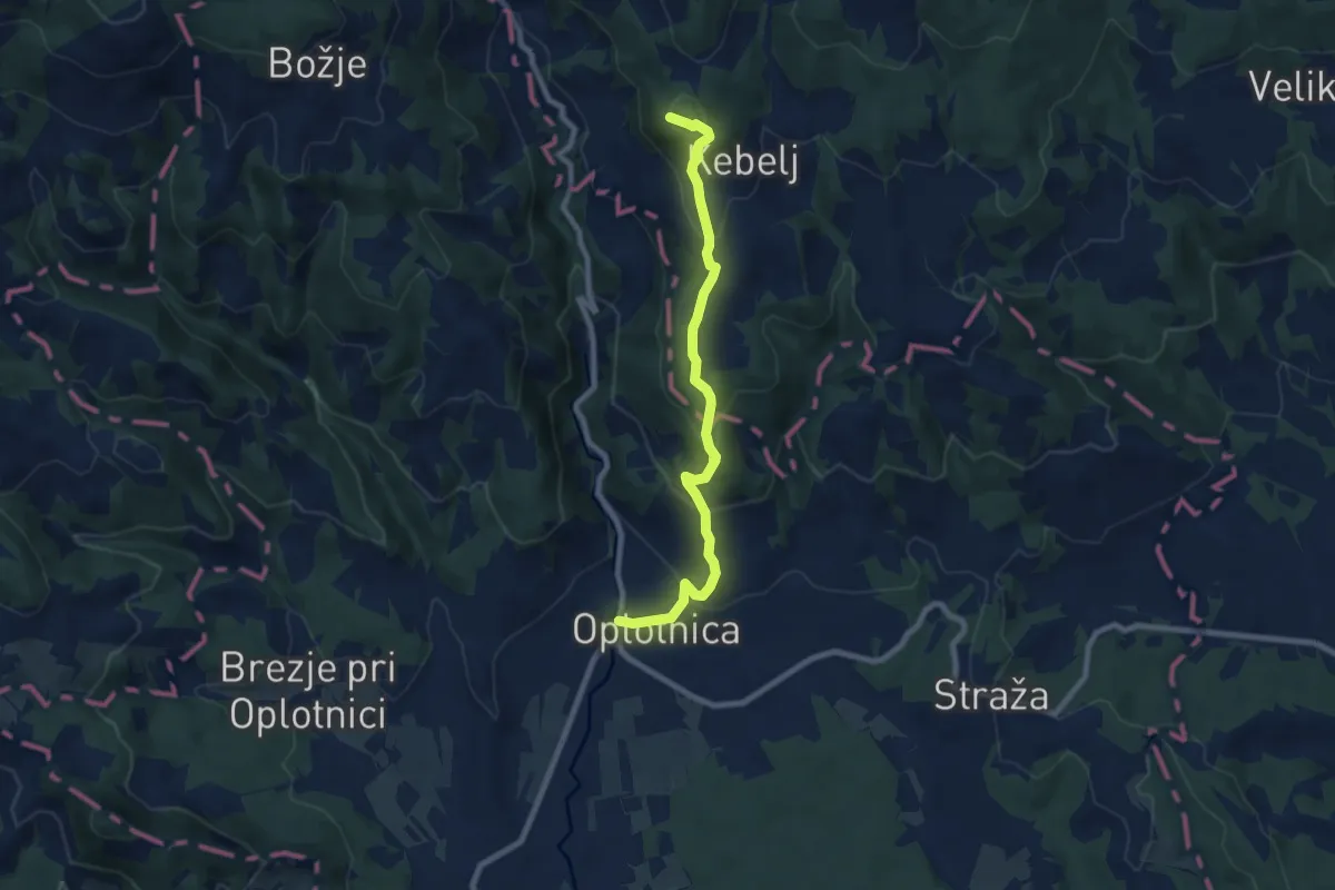
Medium · Summit
Oplotnica - Črno jezero
8.2 km · ↑ 429 m · 2 h 51 min · 5 km away
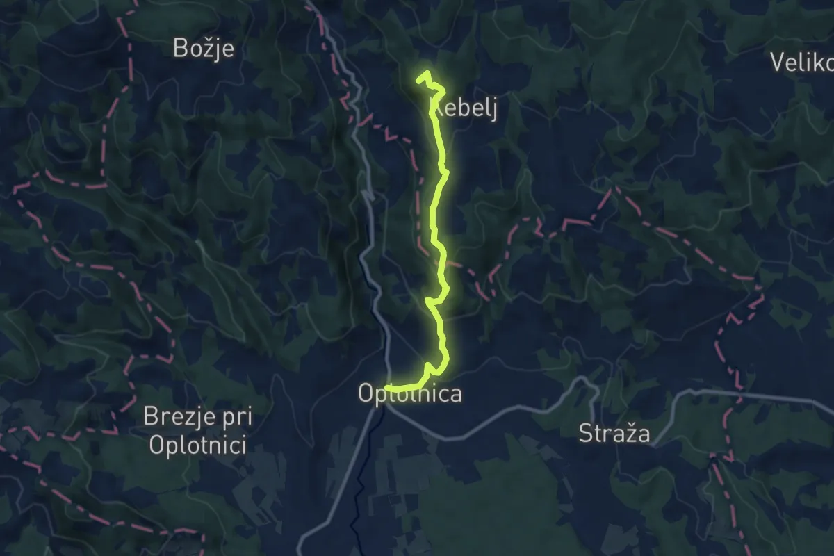
Medium · Summit
Oplotnica - Osankarica
8.4 km · ↑ 440 m · 2 h 56 min · 5 km away
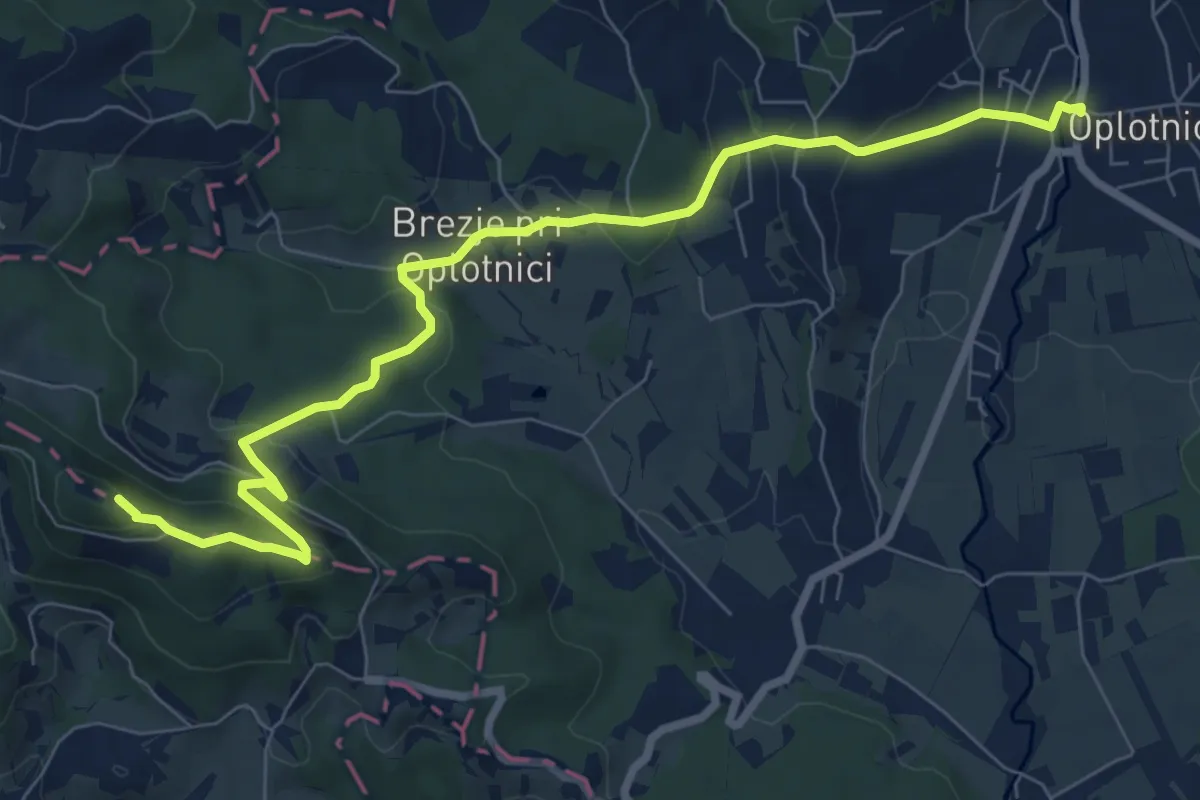
Medium · Summit
Oplotnica - Brinjeva gora
9.1 km · ↑ 338 m · 2 h 53 min · 5 km away
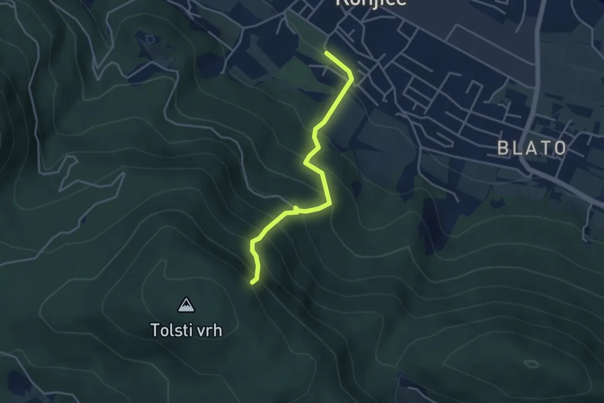
Expert · Summit
Sl. Konjice - Skala (plezalna)
3.2 km · ↑ 417 m · 1 h 40 min · 5 km away
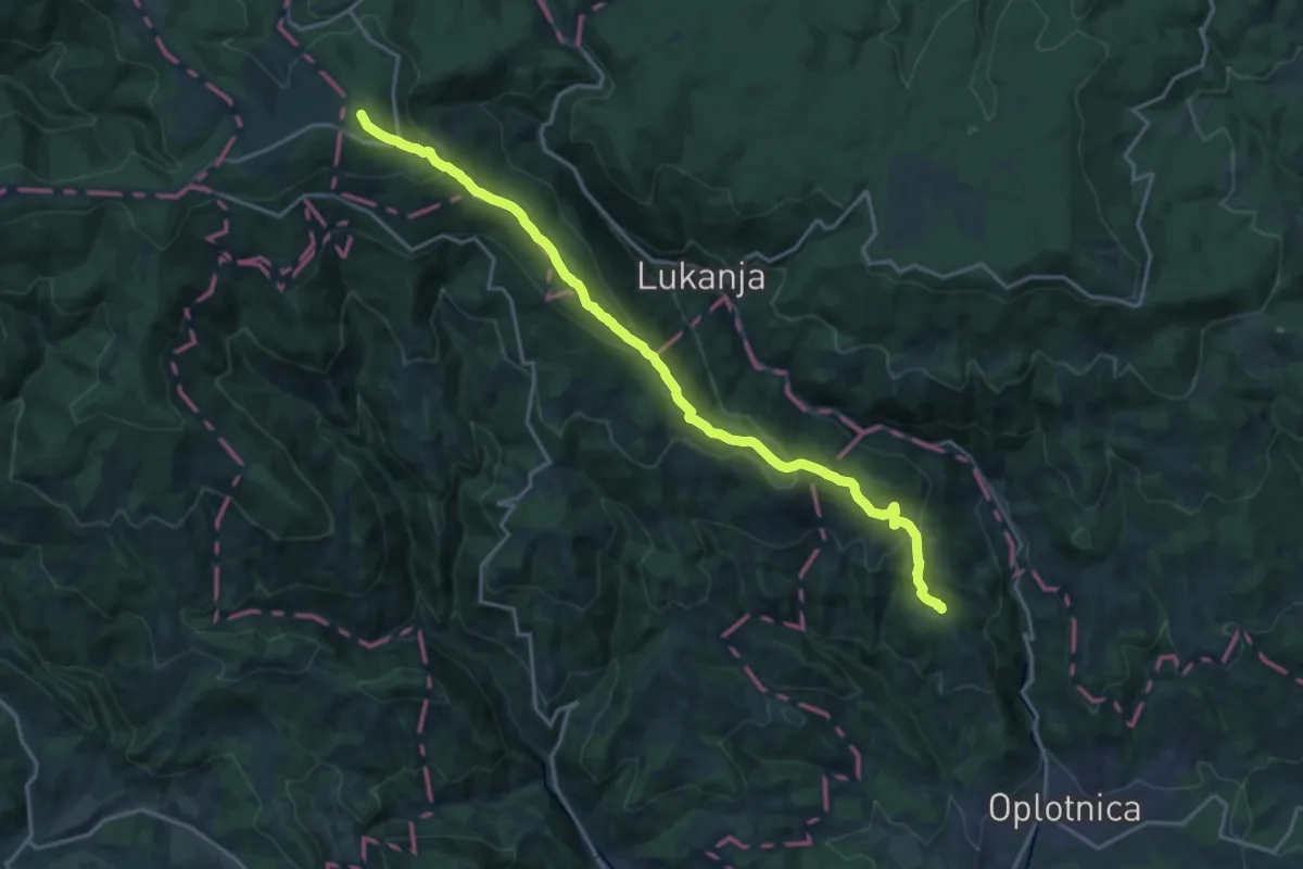
Demanding · Summit
Oplotnica - Rogla
19.2 km · ↑ 836 m · 6 h 20 min · 5 km away
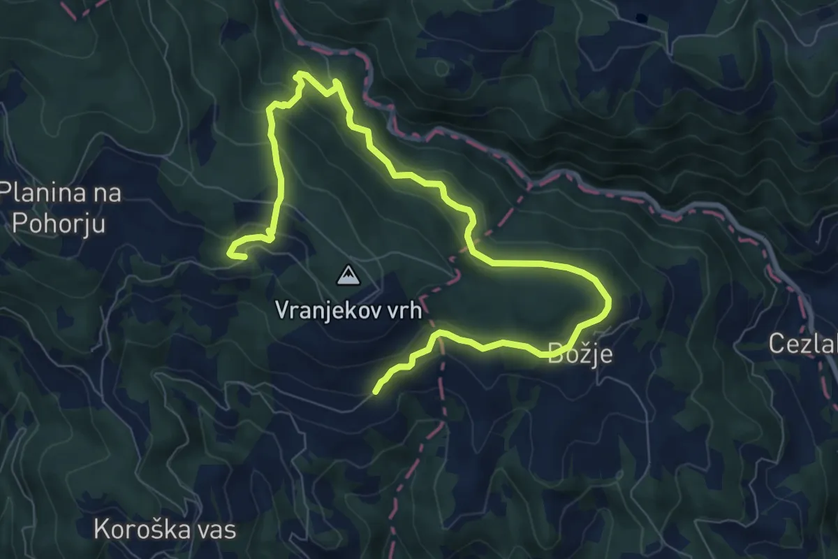
Medium · Trail
Gorenje 7
10.6 km · ↑ 462 m · 3 h 30 min · 5 km away
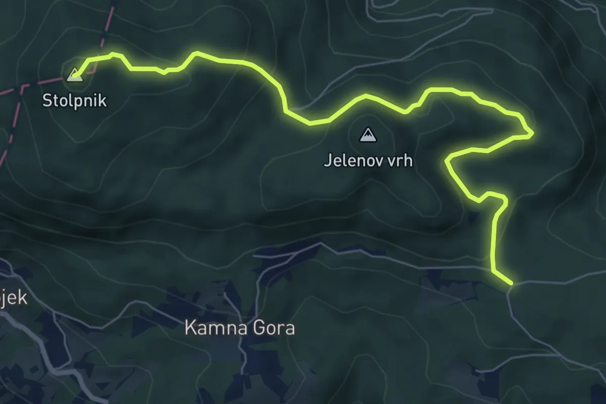
Medium · Summit
Trije križi - Stolpnik
7.8 km · ↑ 420 m · 2 h 45 min · 5 km away
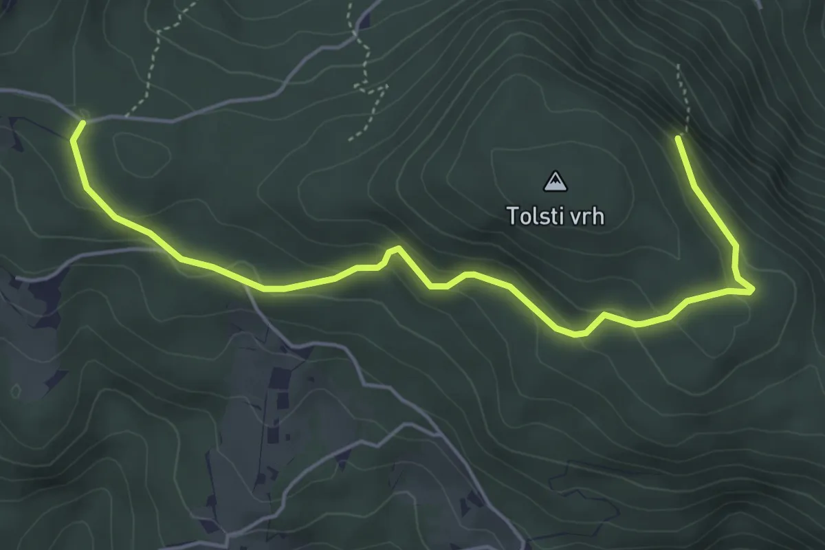
Easy · Summit
Trije križi - Skala
5.3 km · ↑ 258 m · 1 h 48 min · 5 km away
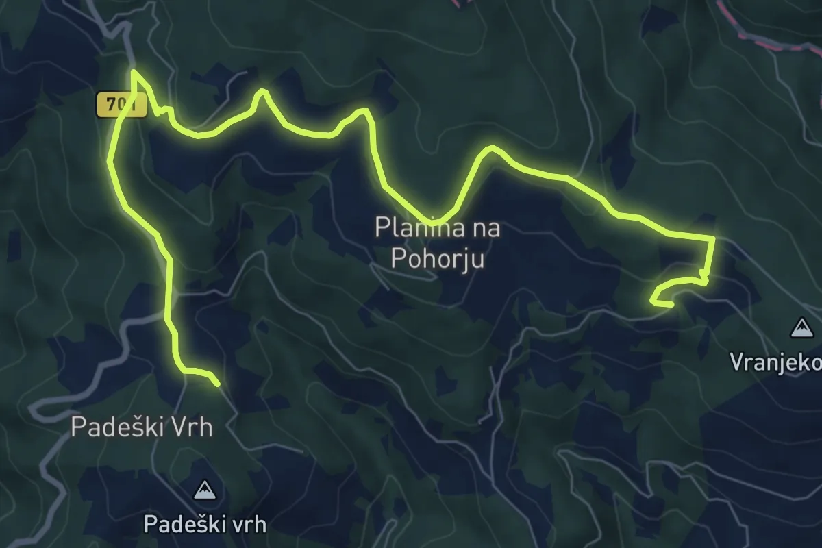
Medium · Trail
Gorenje 8
10.8 km · ↑ 418 m · 3 h 27 min · 5 km away
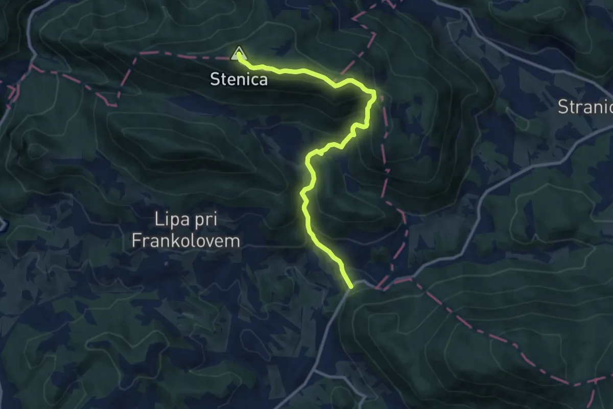
Medium · Summit
Beli Potok - Stenica
9.7 km · ↑ 742 m · 3 h 54 min · 6 km away
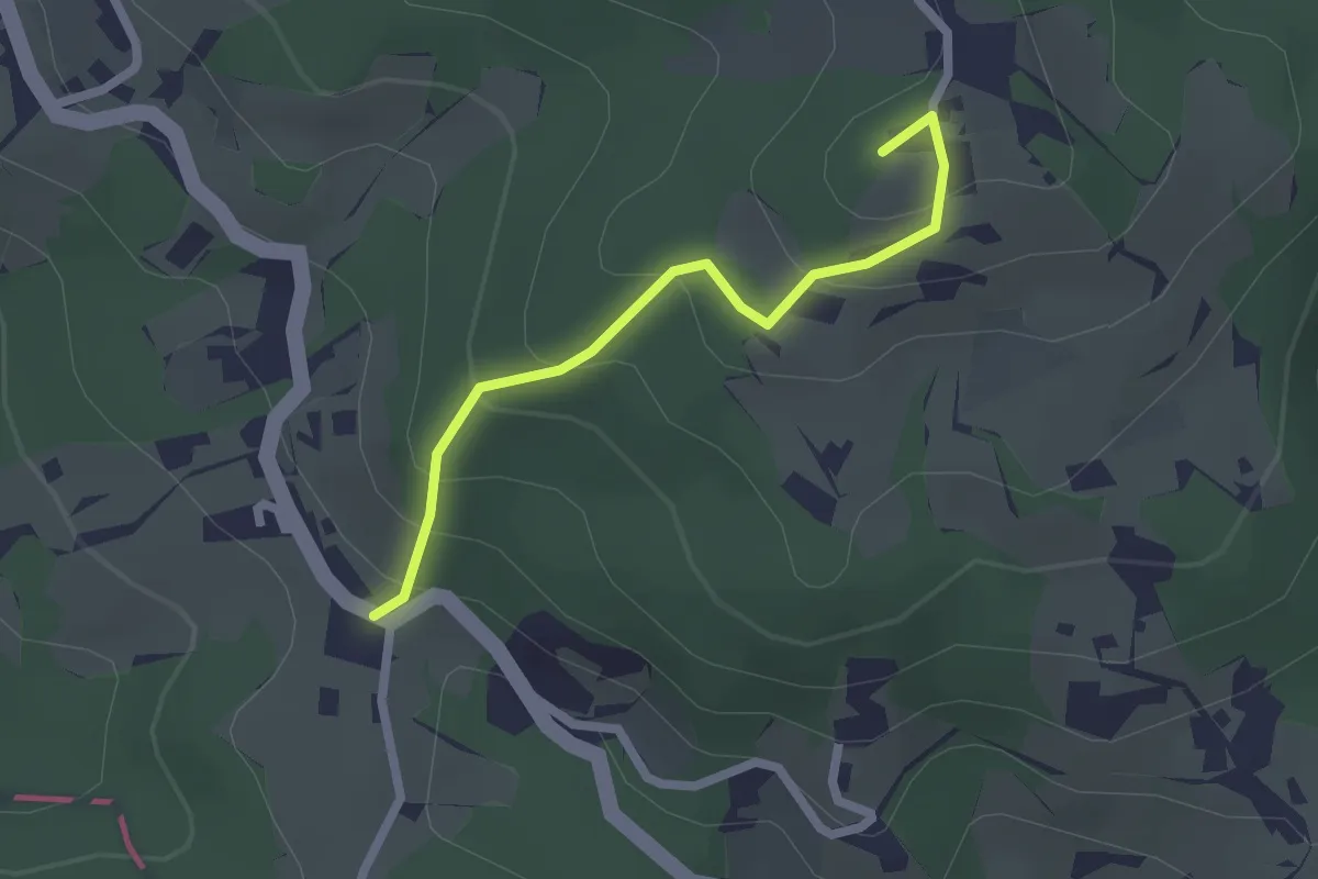
Easy · Summit
Sojek - Kamna Gora
2.0 km · ↑ 152 m · 49 min · 6 km away
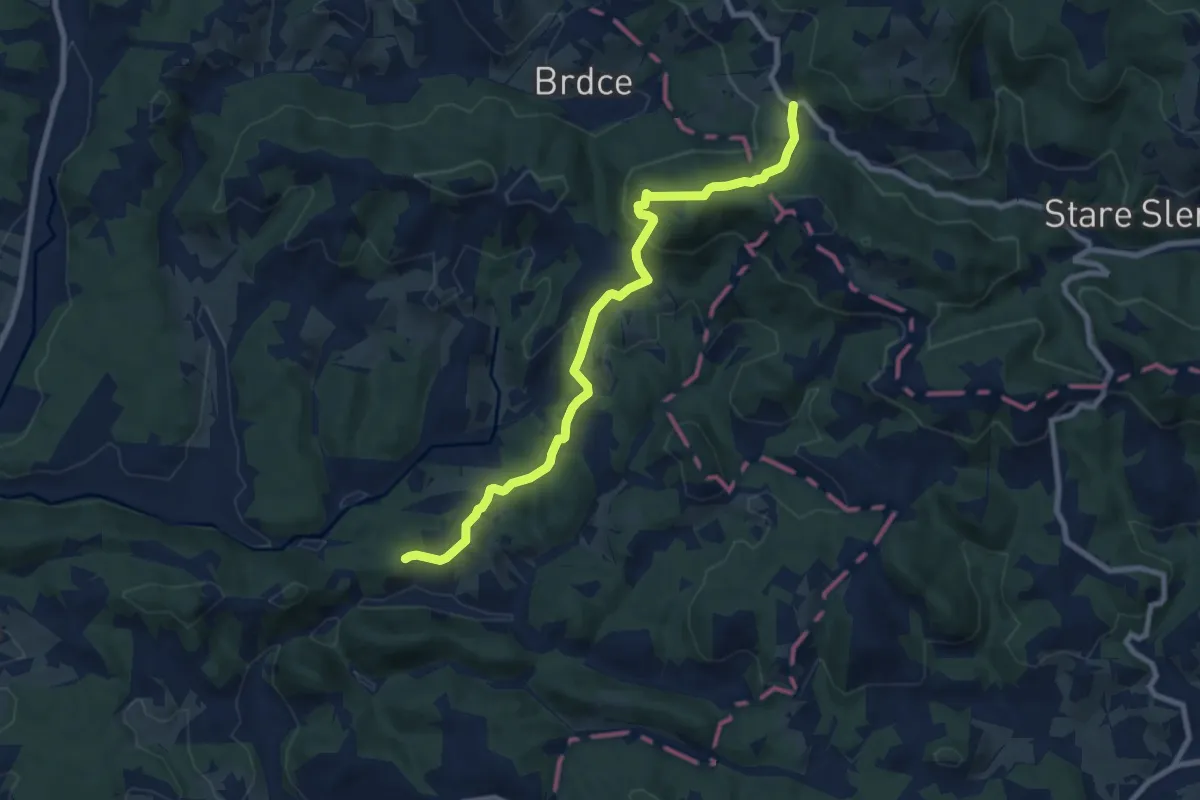
Medium · Trail
Maček - Sojek
8.7 km · ↑ 438 m · 3 h · 6 km away
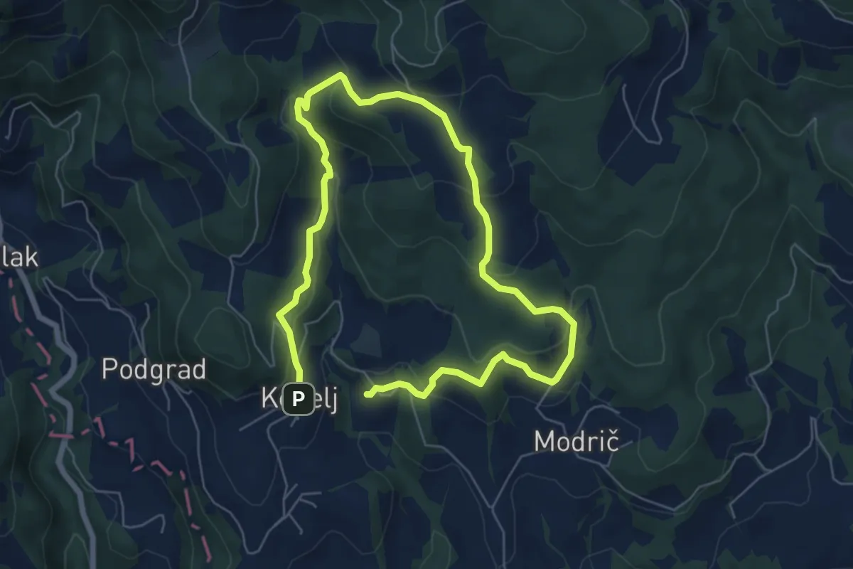
Medium · Trail
Naravoslovna učna pot Kebelj (zahtevnejša)
9.8 km · ↑ 479 m · 3 h 21 min · 7 km away
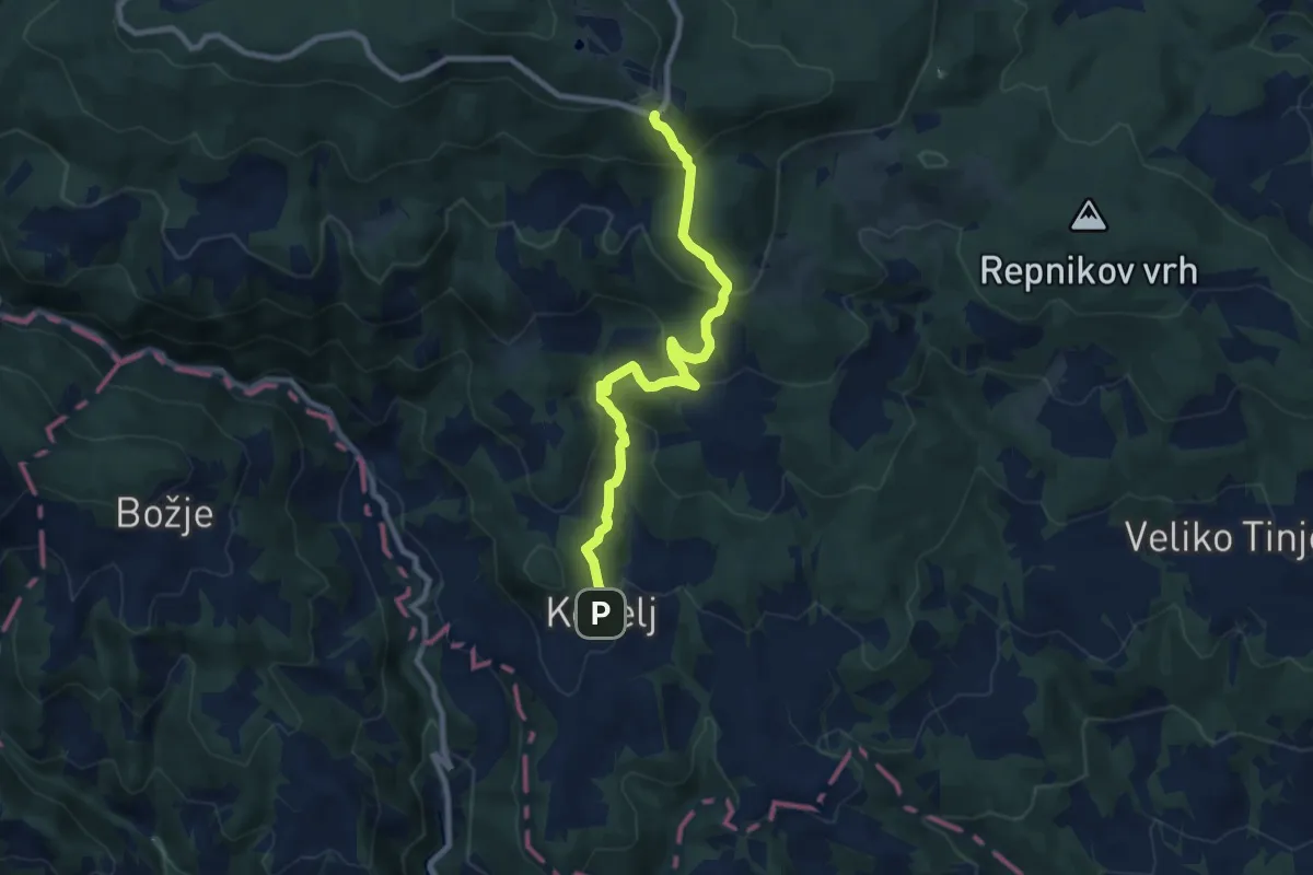
Medium · Cabin
Pohodna pot Kebelj - Trije Kralji
8.8 km · ↑ 495 m · 3 h 8 min · 7 km away
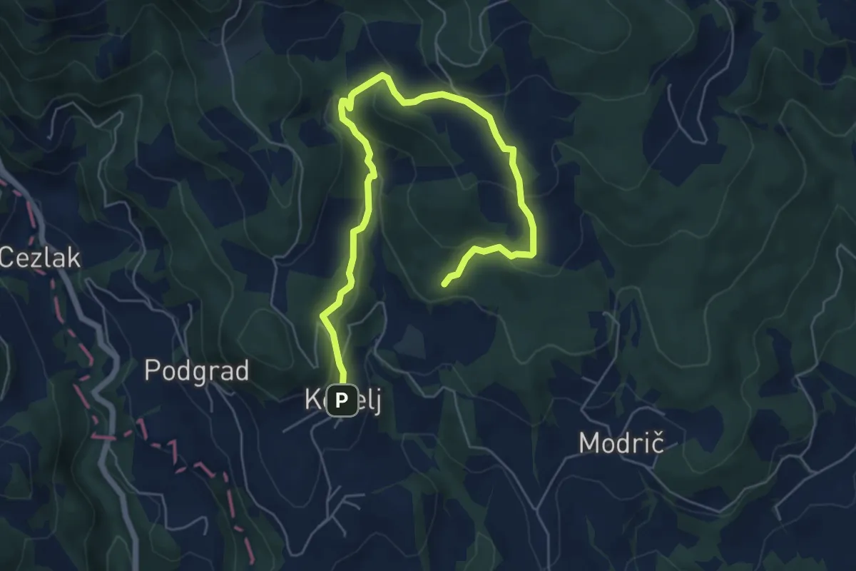
Medium · Trail
Naravoslovna učna pot Kebelj (nezahtevna)
6.9 km · ↑ 330 m · 2 h 21 min · 7 km away
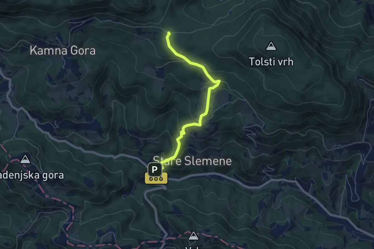
Medium · Trail
Žička kartuzija - Trije križi
5.5 km · ↑ 324 m · 1 h 59 min · 7 km away
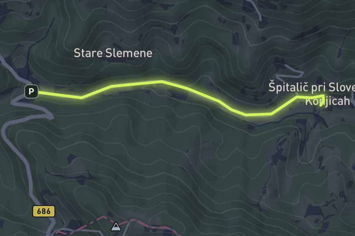
Easy · Trail
Špitalič - Žička Kartuzija
3.3 km · ↑ 56 m · 54 min · 7 km away
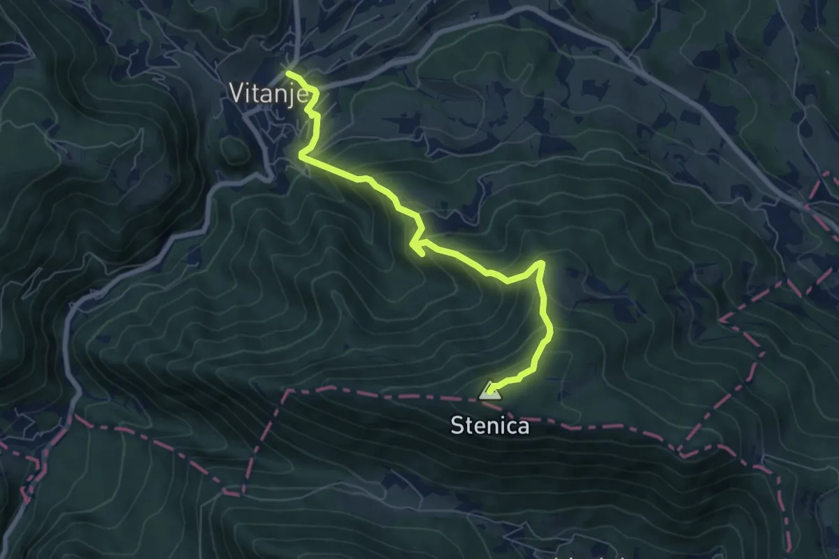
Medium · Summit
Vitanje - Stenica
6.9 km · ↑ 629 m · 3 h · 7 km away
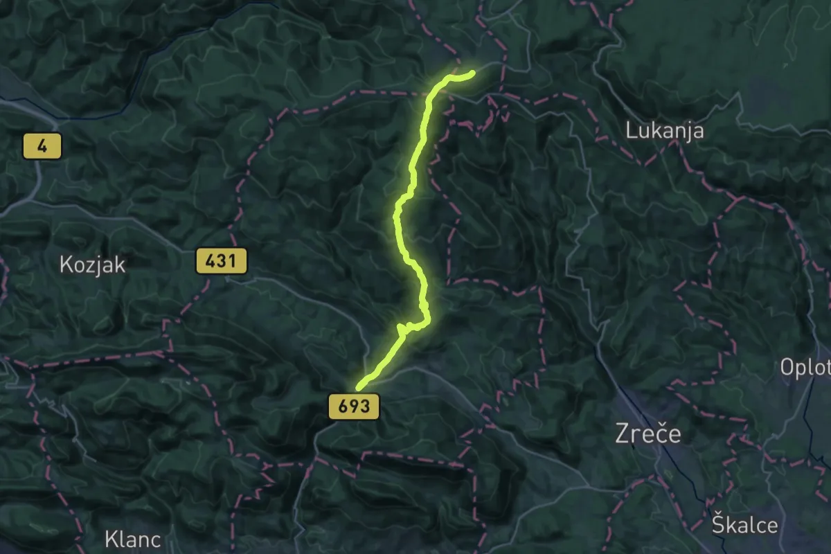
Demanding · Trail
Vitanje - Rogla
22.2 km · ↑ 1183 m · 7 h 49 min · 7 km away
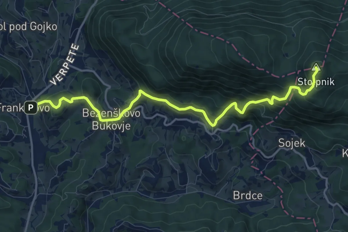
Demanding · Summit
Frankolovo - Črešnjice - Stolpnik
11.4 km · ↑ 811 m · 4 h 26 min · 7 km away
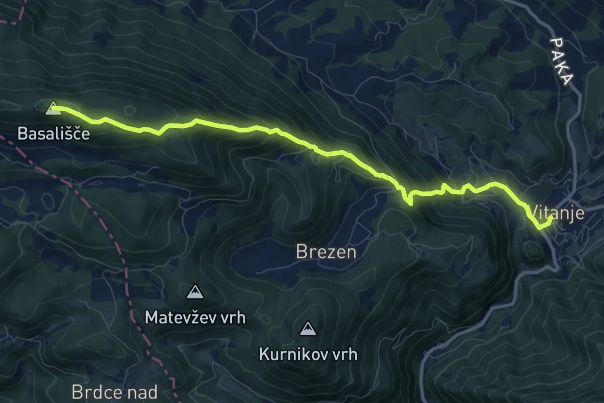
Demanding · Summit
Vitanje - Basališče
10.1 km · ↑ 811 m · 4 h 8 min · 7 km away
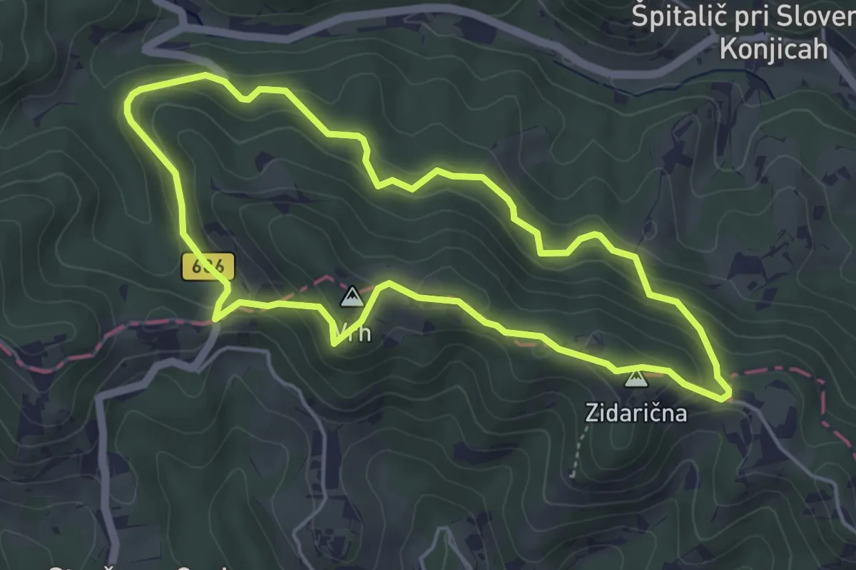
Easy · Summit
Jankar - Žička kartuzija - Jankar
4.5 km · ↑ 238 m · 1 h 38 min · 8 km away
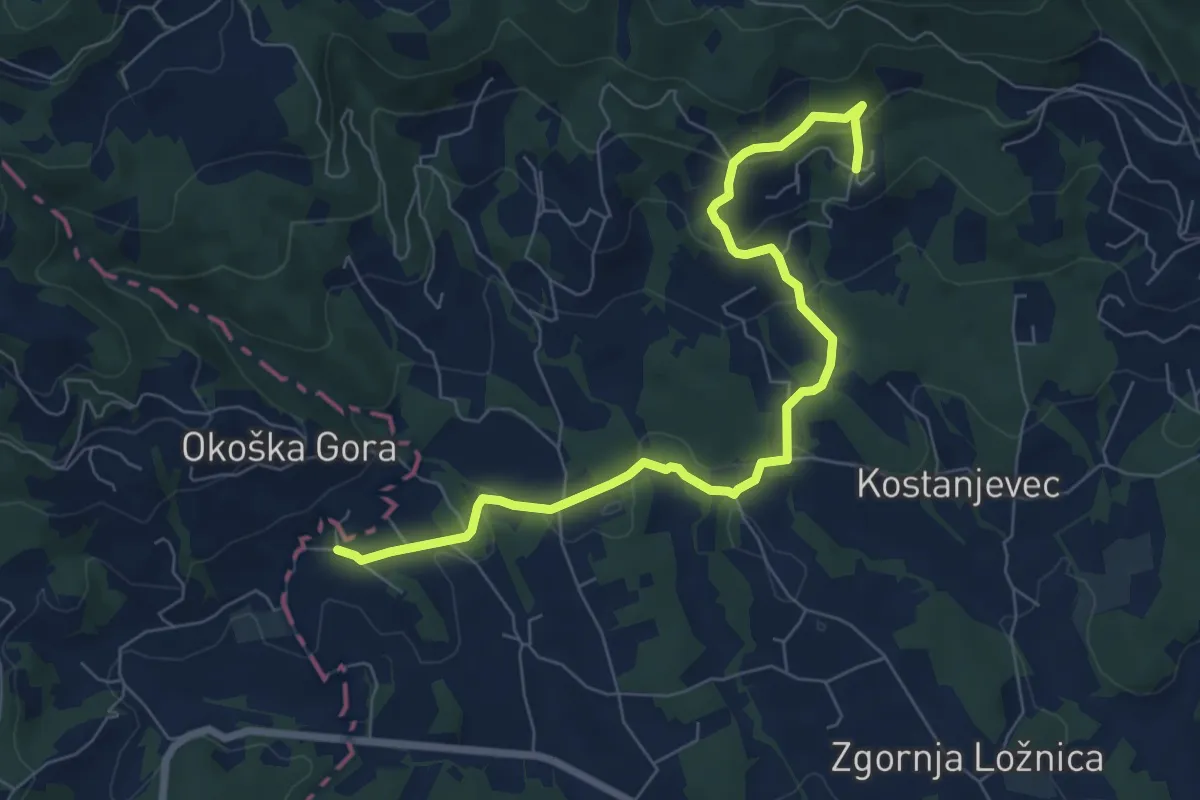
Easy · Trail
Pohodna pot Lovra Stepišnika
7.9 km · ↑ 275 m · 2 h 27 min · 8 km away
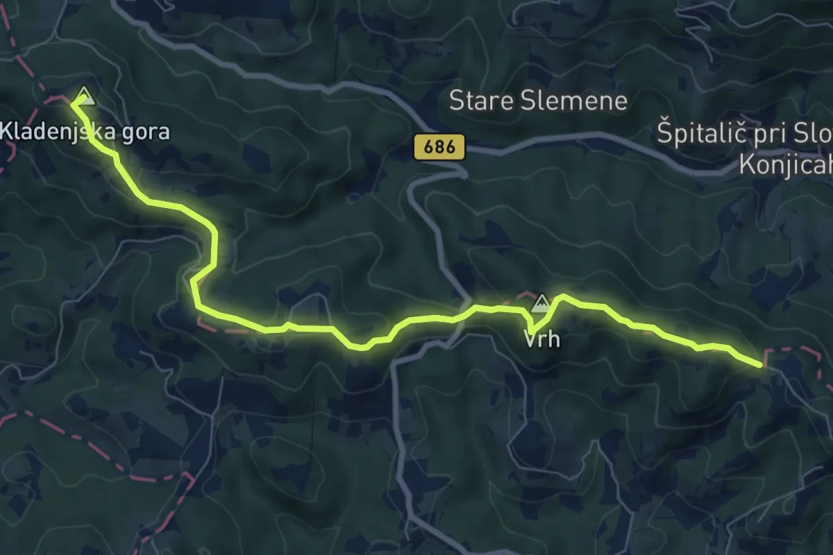
Medium · Summit
Jankar - Kumšek
8.4 km · ↑ 369 m · 2 h 47 min · 8 km away
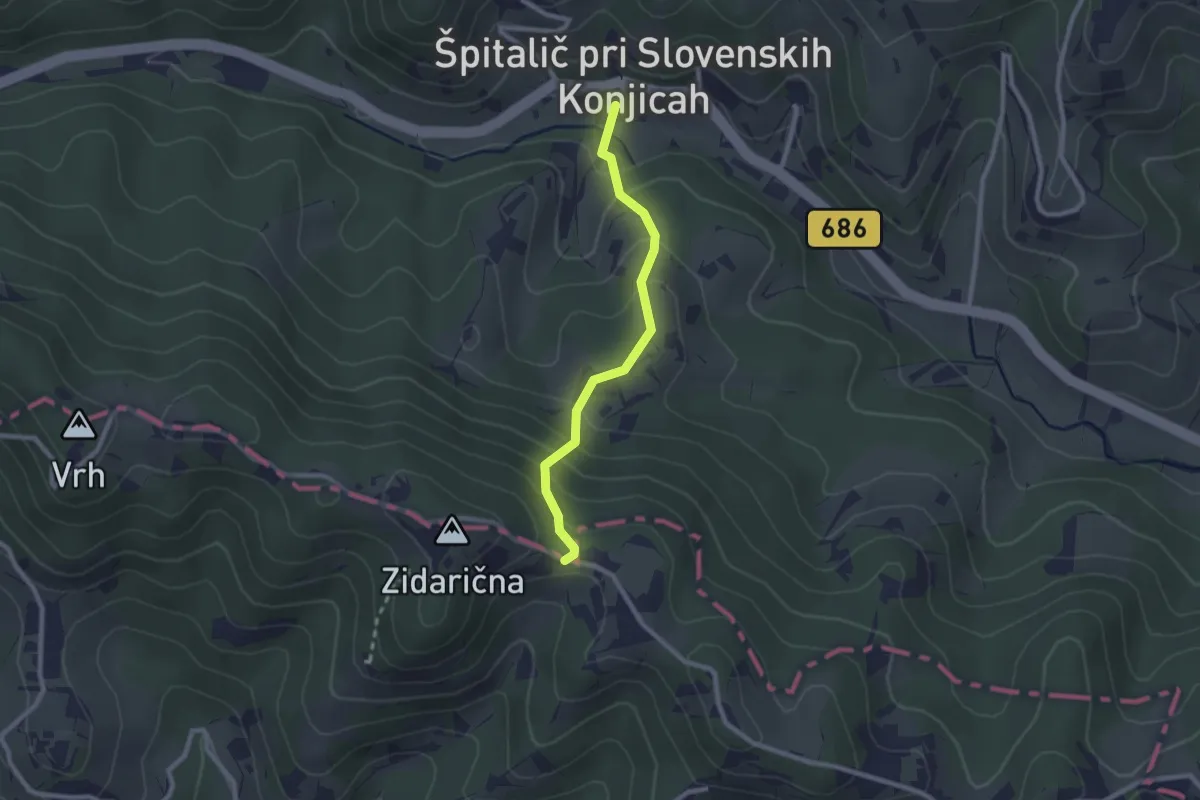
Easy · Trail
Jankar - Špitalič
2.2 km · ↑ 166 m · 52 min · 8 km away
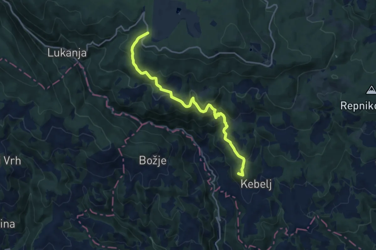
Medium · Summit
Kebeljska transverzala
12.6 km · ↑ 669 m · 4 h 25 min · 8 km away
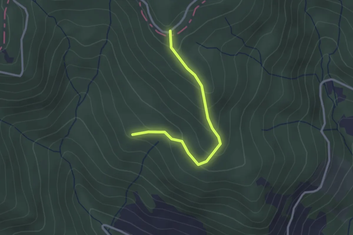
Easy · Trail
Arbajter - Rogla
2.3 km · ↑ 144 m · 52 min · 9 km away
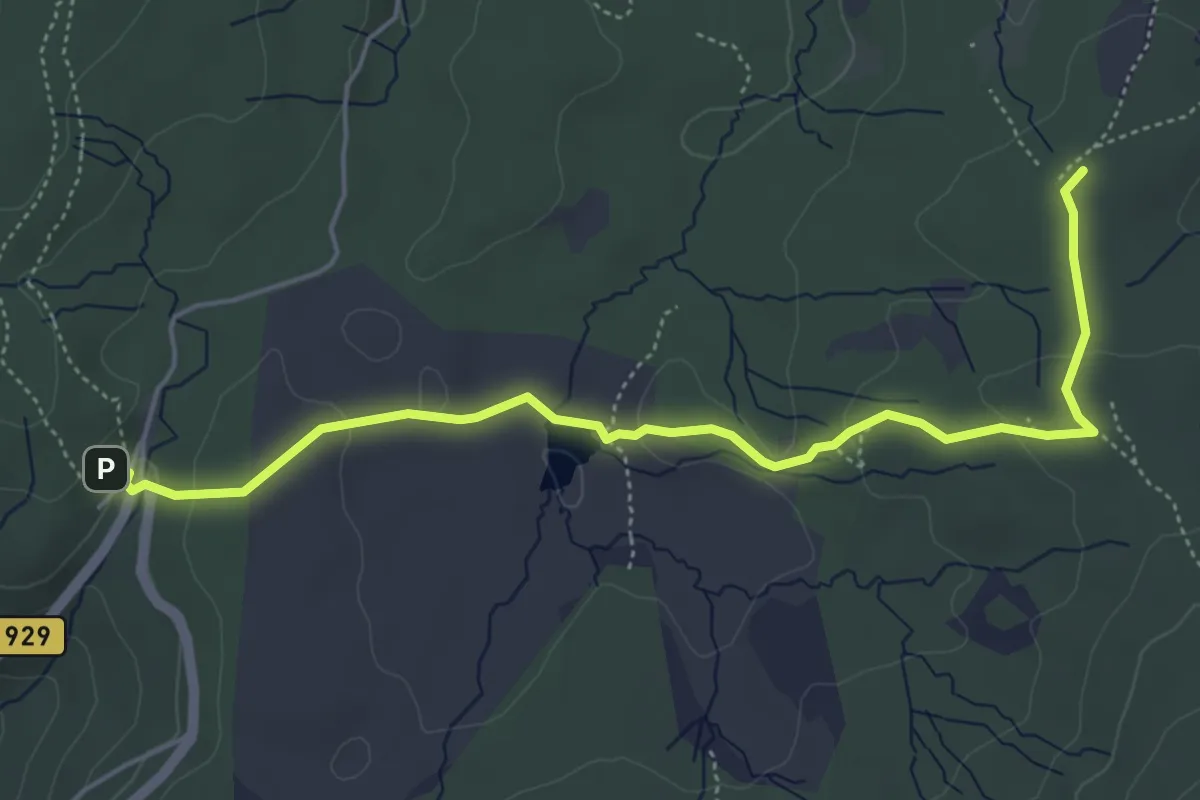
Easy · Summit
015 ~ Pot kurirjev in vezistov NOV Slovenije
5.7 km · ↑ 142 m · 1 h 39 min · 9 km away
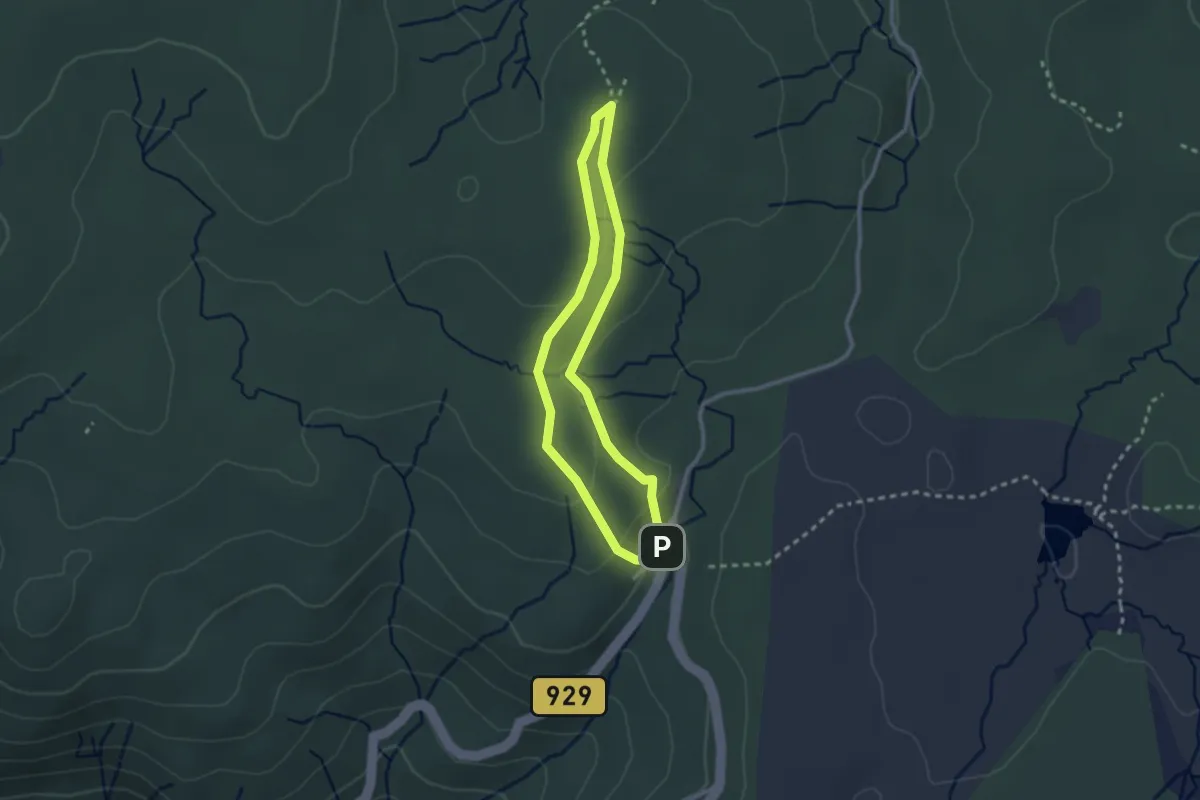
Easy · Cabin
Krožna pot na bojišče Pohorskega bataljona
2.2 km · ↑ 62 m · 41 min · 9 km away
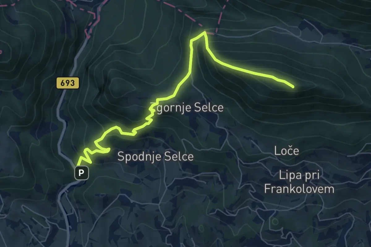
Medium · Summit
Socka - Kislica - Špičasti vrh
7.7 km · ↑ 660 m · 3 h 14 min · 9 km away