Trails in Slovenia
1,594 hiking trails, each with its route, climb, walking time and grade.
All trails, page 11 of 34
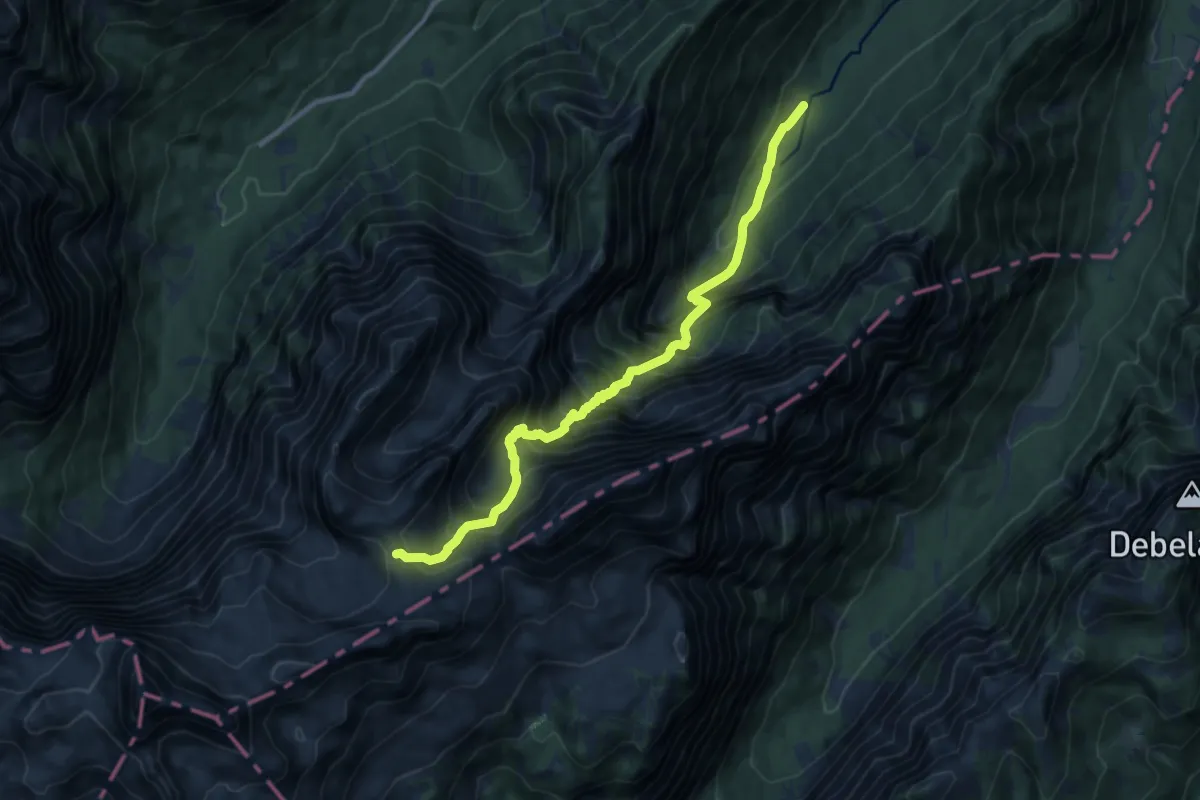
Demanding · Cabin
Kot - Staničev dom
10.8 km · ↑ 1402 m · 5 h 36 min
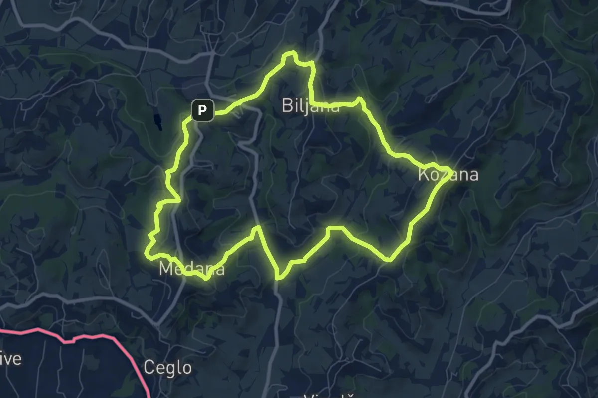
Medium · Summit
Kozanka
8.5 km · ↑ 296 m · 2 h 46 min
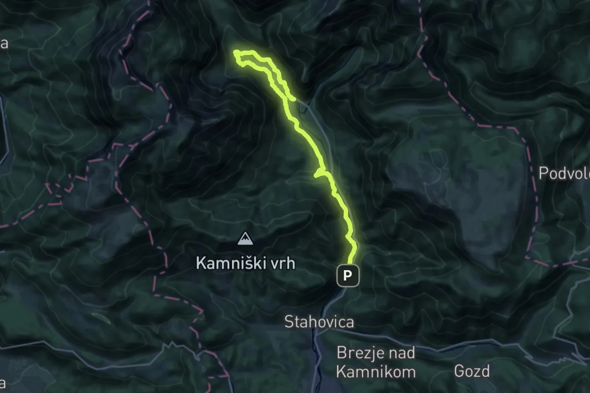
Demanding · Trail
Koželjeva pot
20.3 km · ↑ 642 m · 6 h 11 min
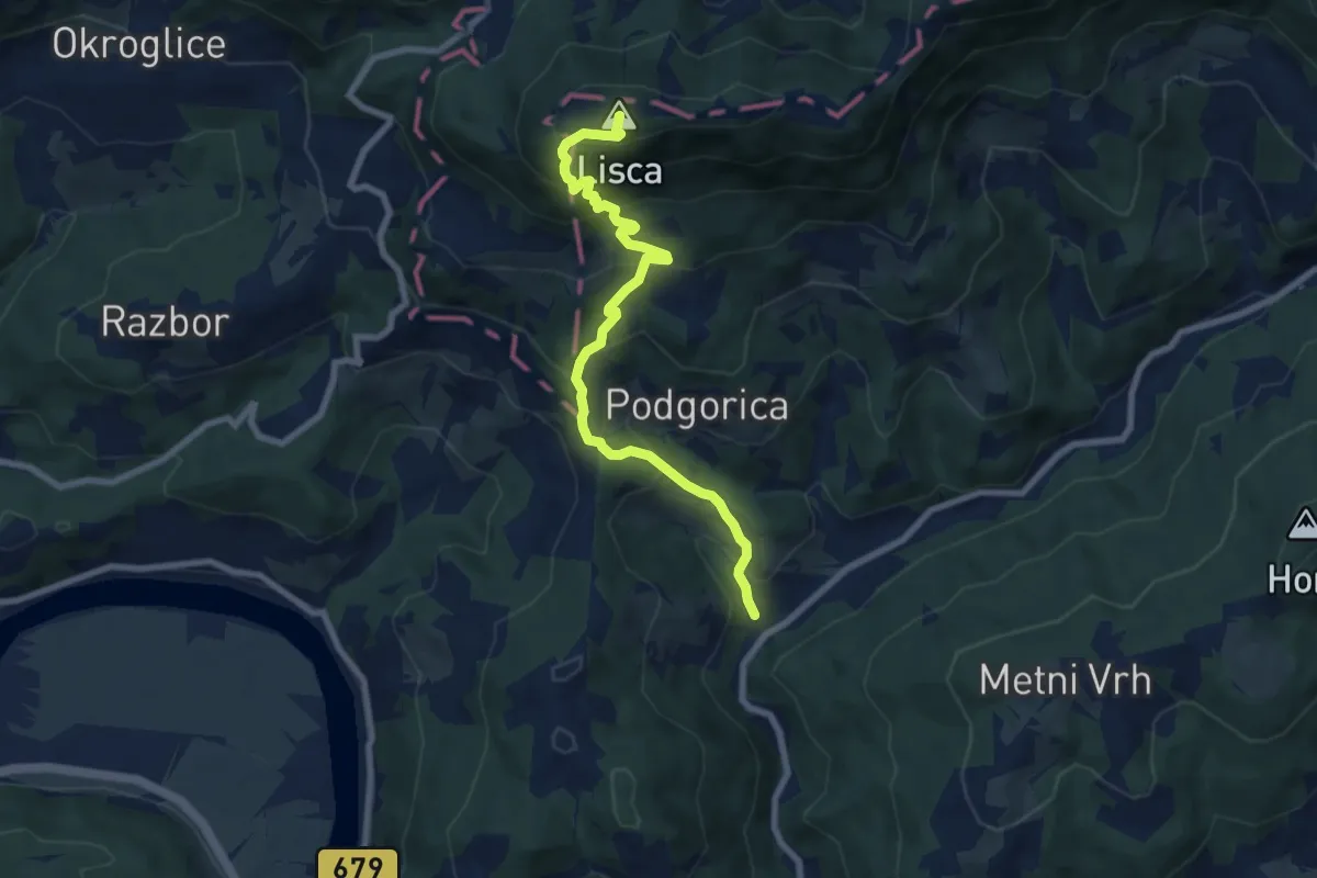
Medium · Summit
Krakovo - Cirje - Lisca
8.0 km · ↑ 694 m · 3 h 23 min
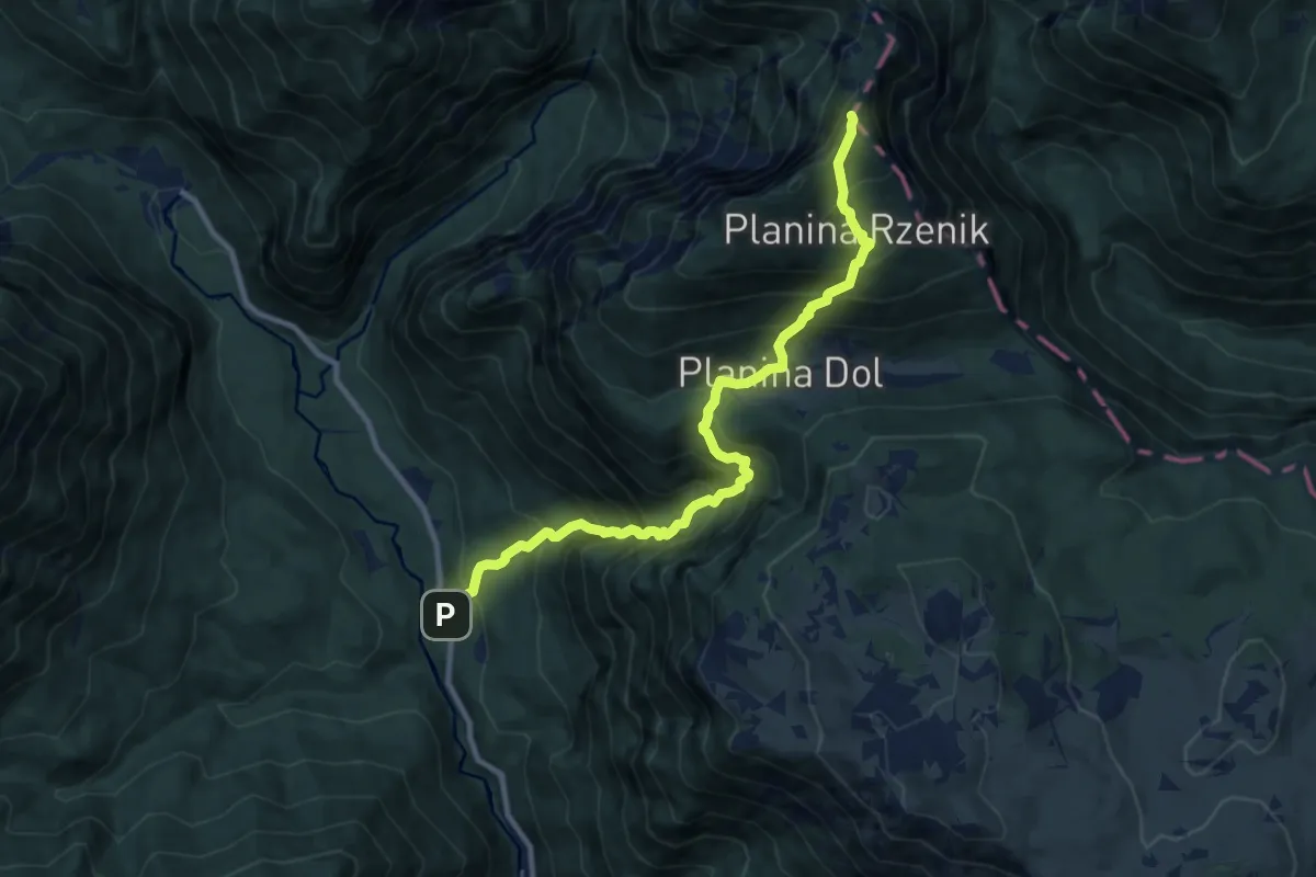
Demanding · Summit
Kraljev hrib - Pl. Dol - Konj
10.1 km · ↑ 1353 m · 5 h 19 min
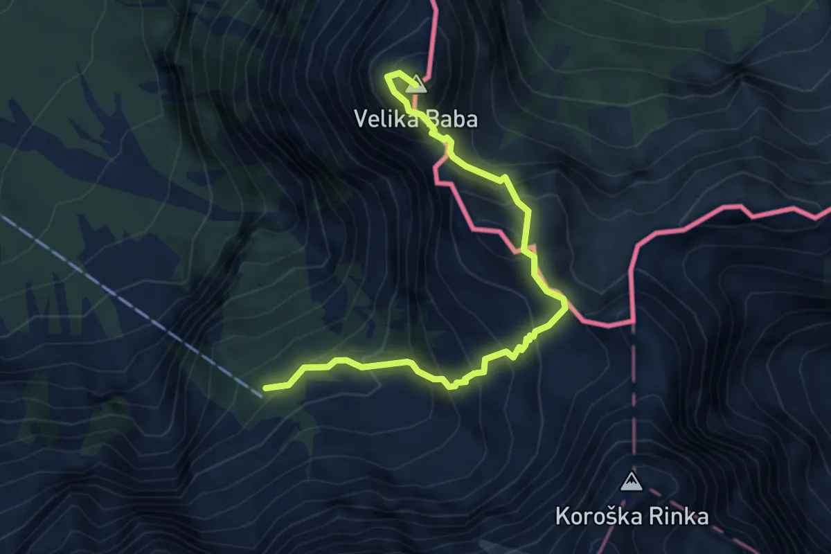
Expert · Summit
Kranjska koča - Jezersko sedlo - V. Baba
4.9 km · ↑ 741 m · 2 h 45 min
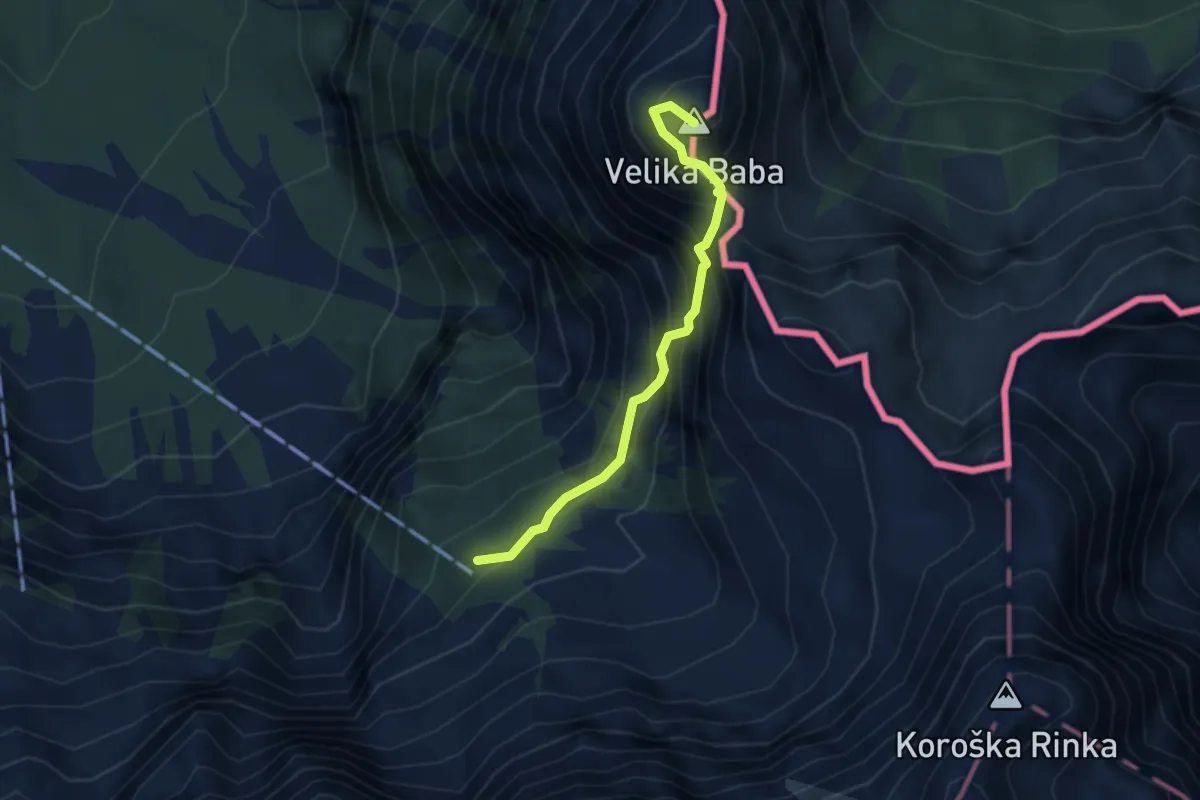
Expert · Summit
Kranjska koča - Rudijeva vertikala - V. Baba
3.0 km · ↑ 608 m · 2 h 1 min
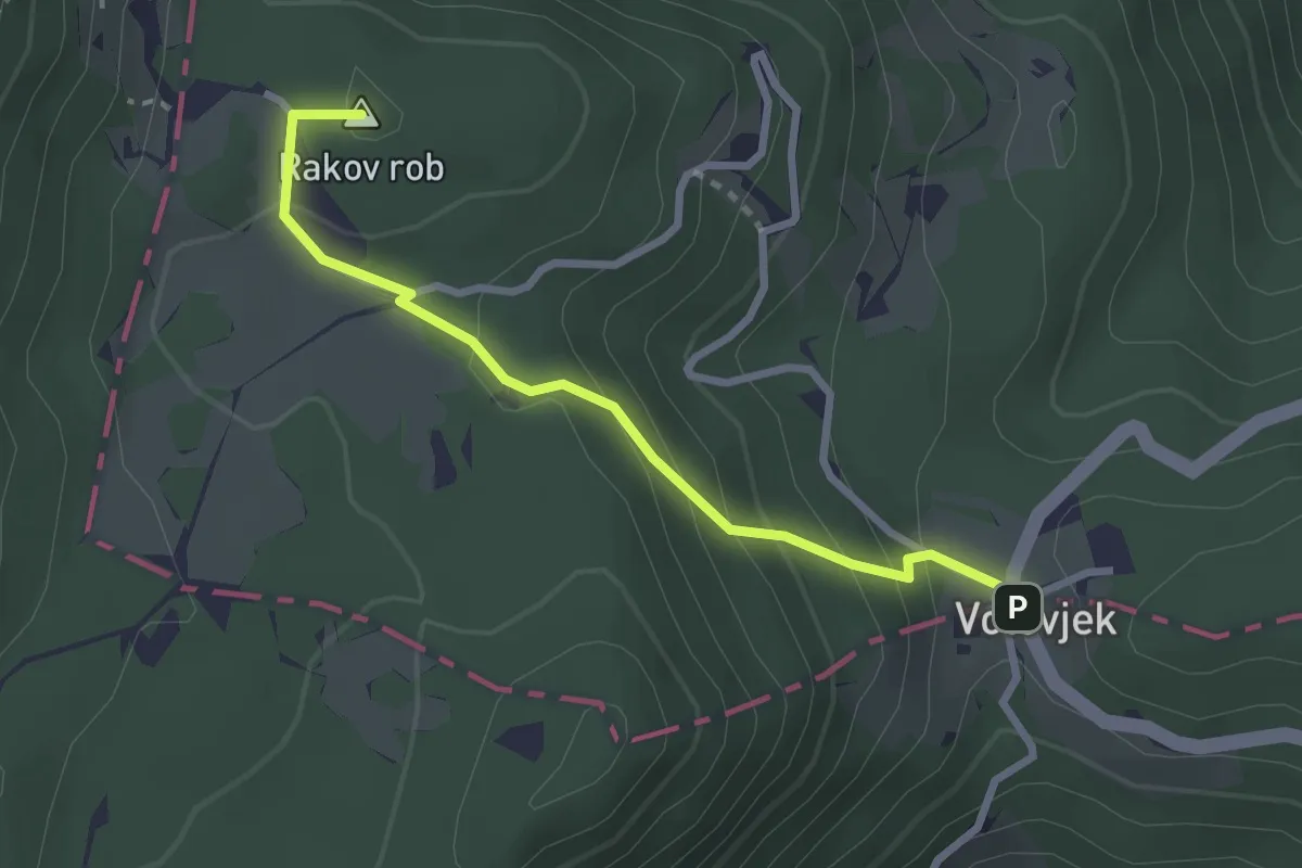
Medium · Summit
Kranjski Rak - Gojška pl.
2.7 km · ↑ 177 m · 1 h 1 min
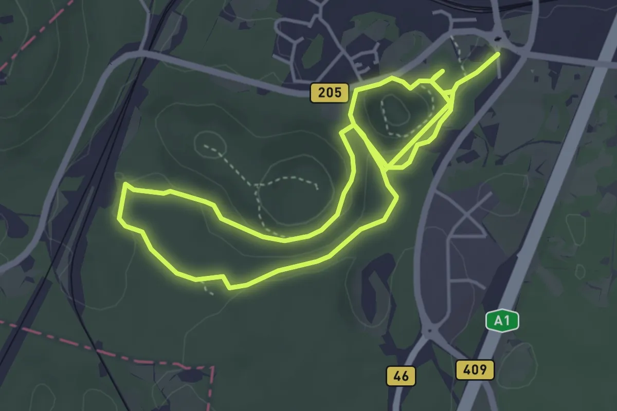
Medium · Trail
Krasoslovna naravoslovna učna pot Divaški Kras
8.2 km · ↑ 274 m · 2 h 31 min
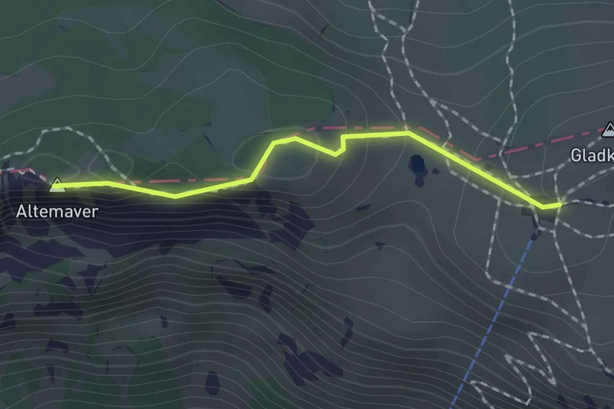
Easy · Summit
Krekova koča - Altemaver - Kremant
1.4 km · ↑ 63 m · 28 min
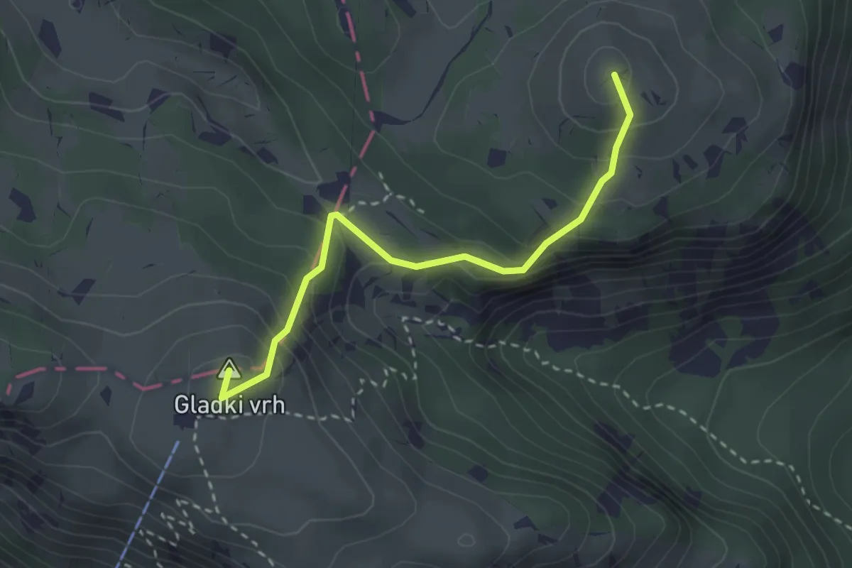
Medium · Summit
Krekova koča - Kosmati vrh
2.8 km · ↑ 264 m · 1 h 13 min
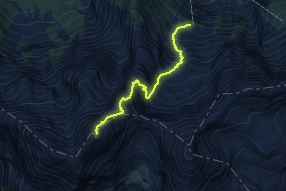
Expert · Summit
Kremžarjeva pot
5.2 km · ↑ 1119 m · 3 h 39 min
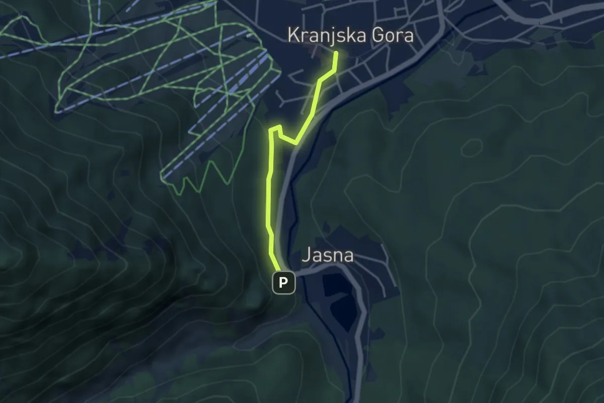
Easy · Trail
Kr. Gora - Jasna
2.7 km · ↑ 55 m · 45 min
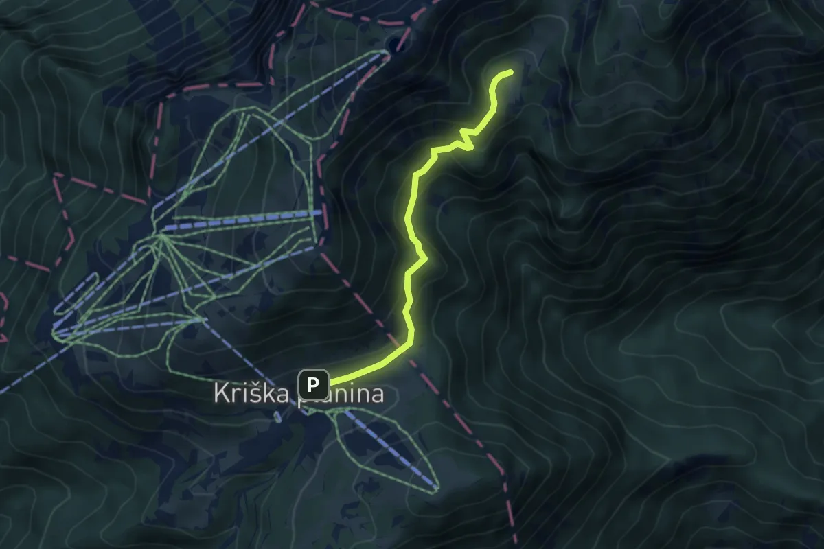
Medium · Trail
Kriška pl. - Pl. Koren
4.3 km · ↑ 260 m · 1 h 34 min
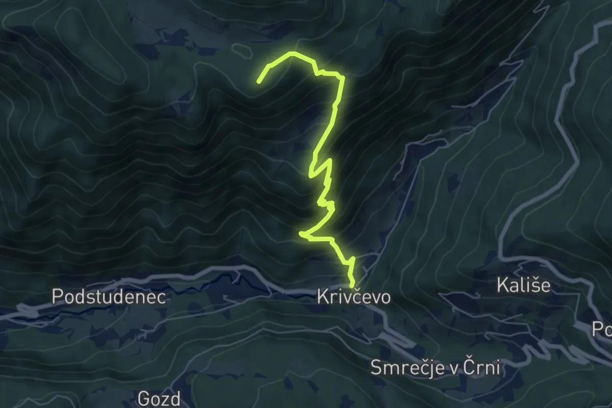
Medium · Summit
Krivčevo - Dom na Kisovcu
5.8 km · ↑ 621 m · 2 h 43 min
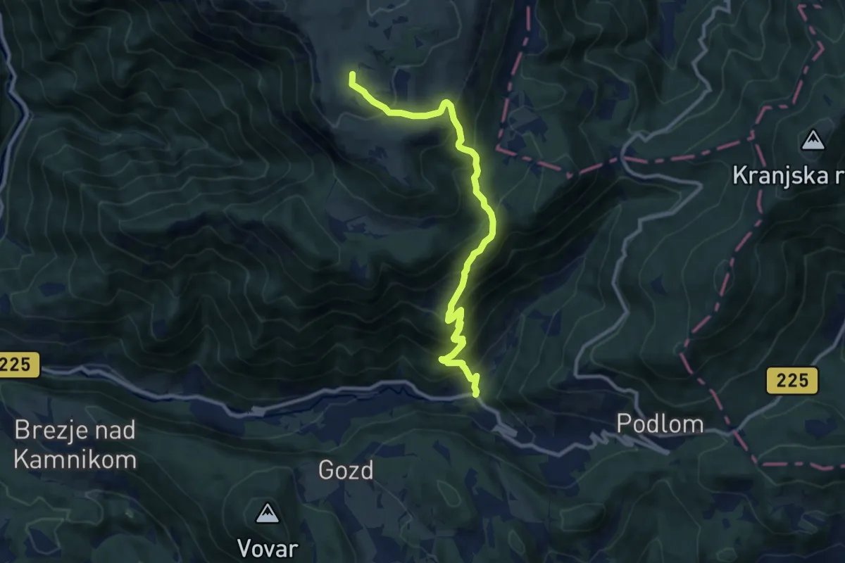
Demanding · Summit
Krivčevo - Gojška pl. - Domžalski dom
10.1 km · ↑ 899 m · 4 h 20 min
Demanding · Summit
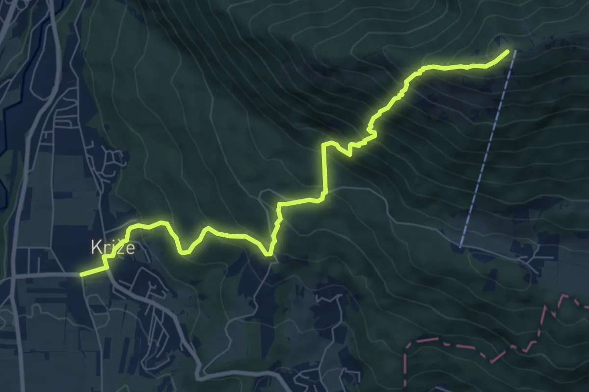
Križe - Zg. Vetrno - Koča na Kriški gori
8.3 km · ↑ 956 m · 4 h 2 min
Demanding · Summit
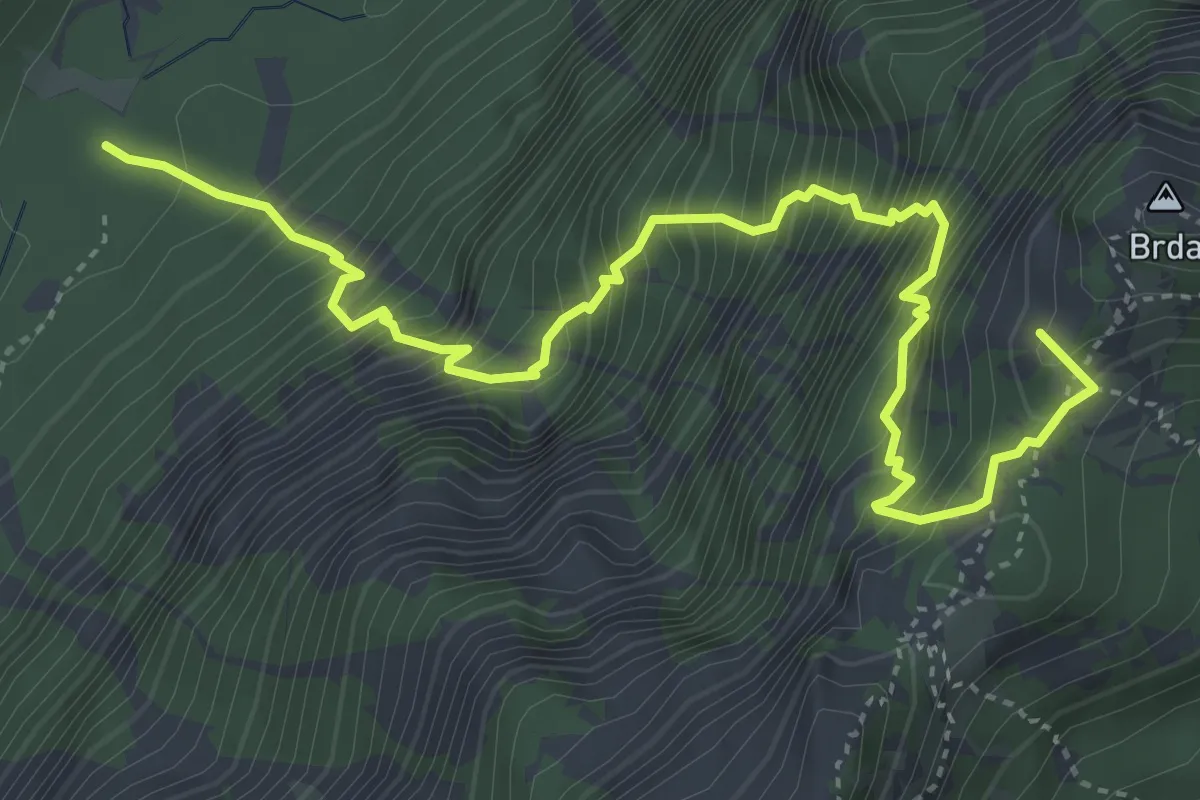
Krma - Lipanska vrata - Lipanca
5.3 km · ↑ 1096 m · 3 h 37 min
Expert · Cabin
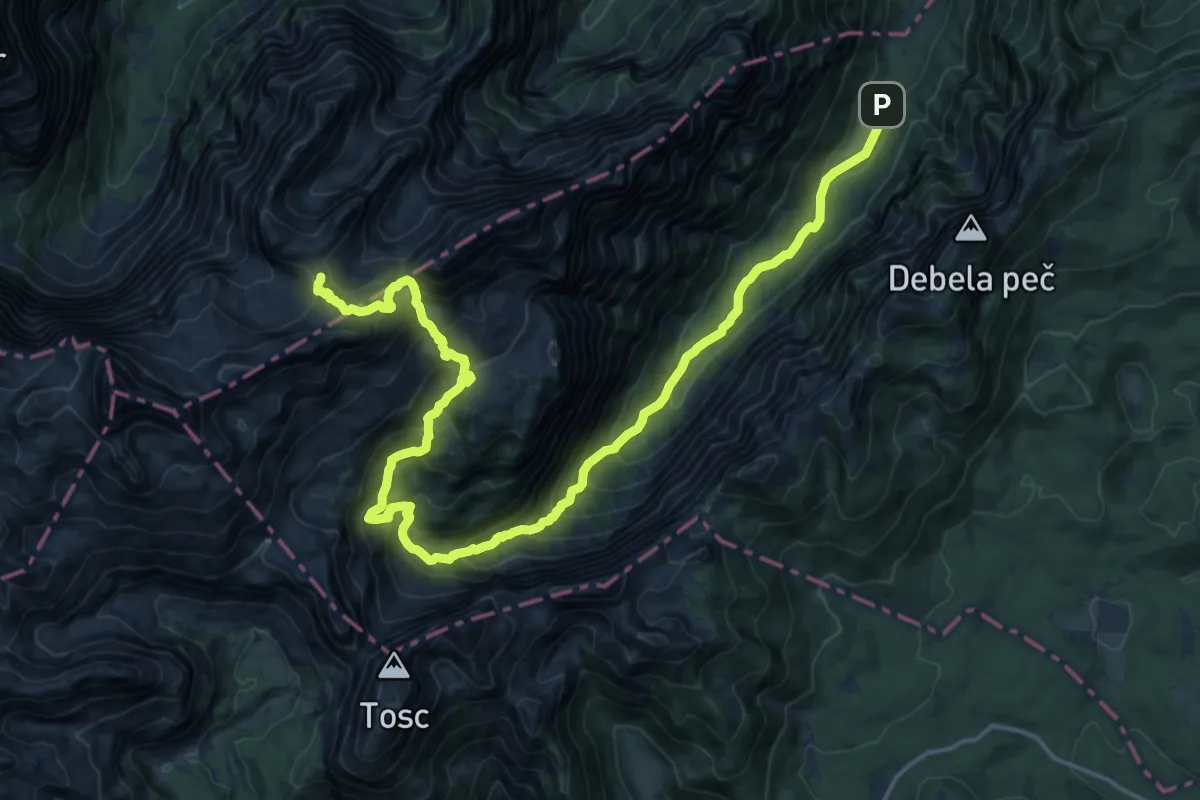
Krma - Staničev dom
11.5 km · ↑ 1549 m · 5 h 30 min
Medium · Trail
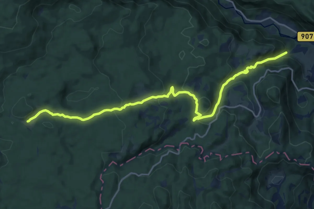
Krnica - Pl. Kranjska dolina
14.6 km · ↑ 669 m · 4 h 54 min
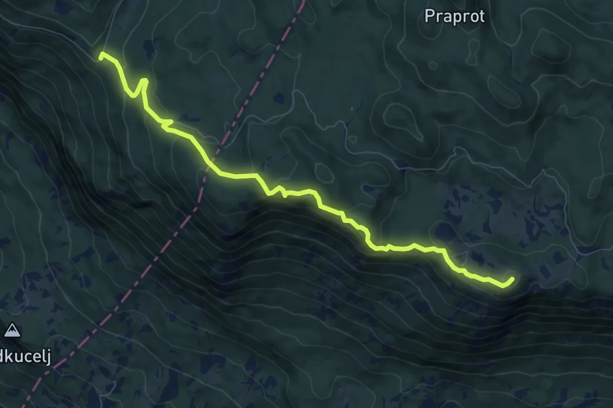
Medium · Summit
Krnica - Veliki Rob - Kucelj
8.9 km · ↑ 412 m · 3 h
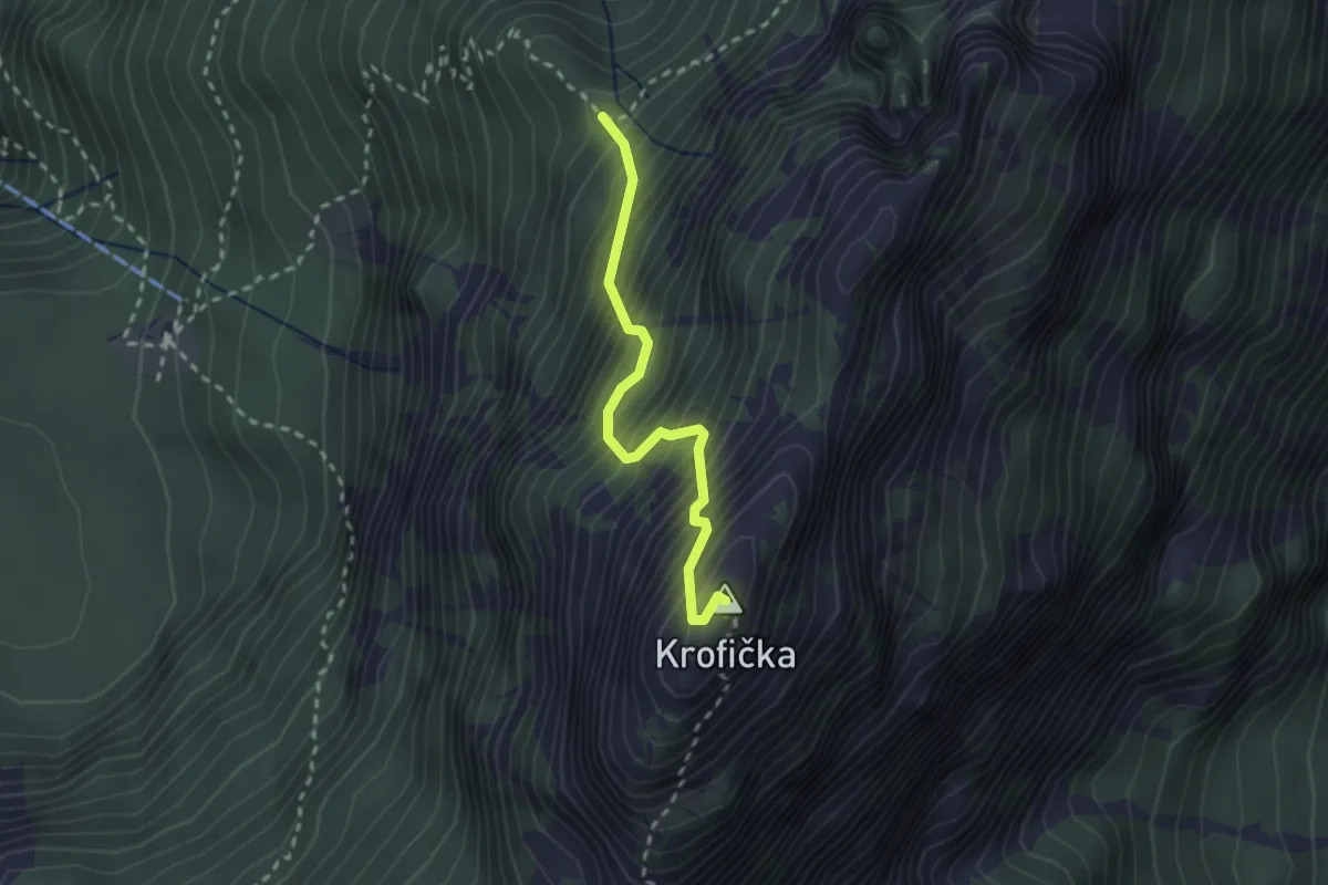
Expert · Summit
Krofička
2.3 km · ↑ 492 m · 1 h 36 min
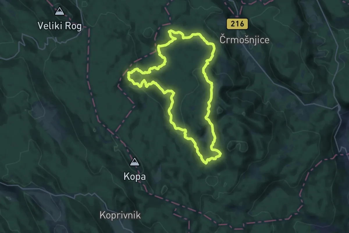
Demanding · Trail
Krožna pešpot partizanskih bolnišnic
21.3 km · ↑ 702 m · 6 h 50 min
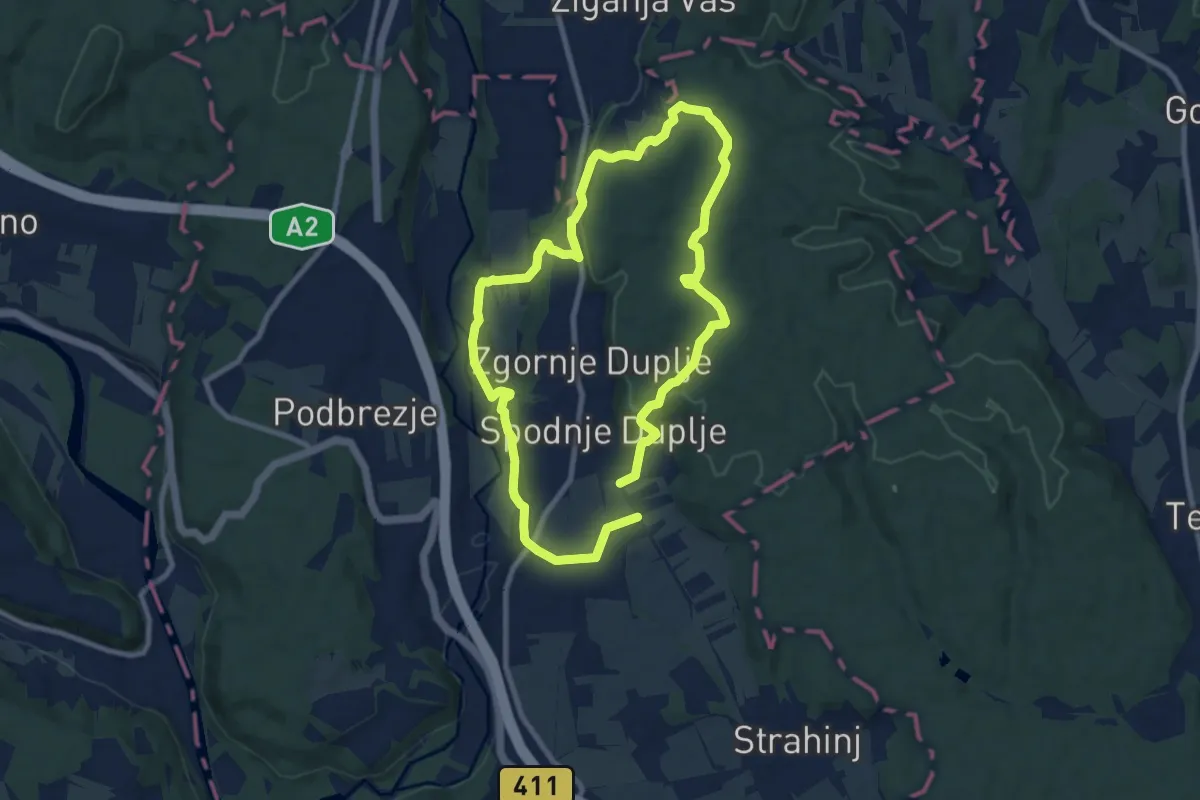
Medium · Trail
Krožna pot Kriva Jelka
16.3 km · ↑ 299 m · 4 h 30 min
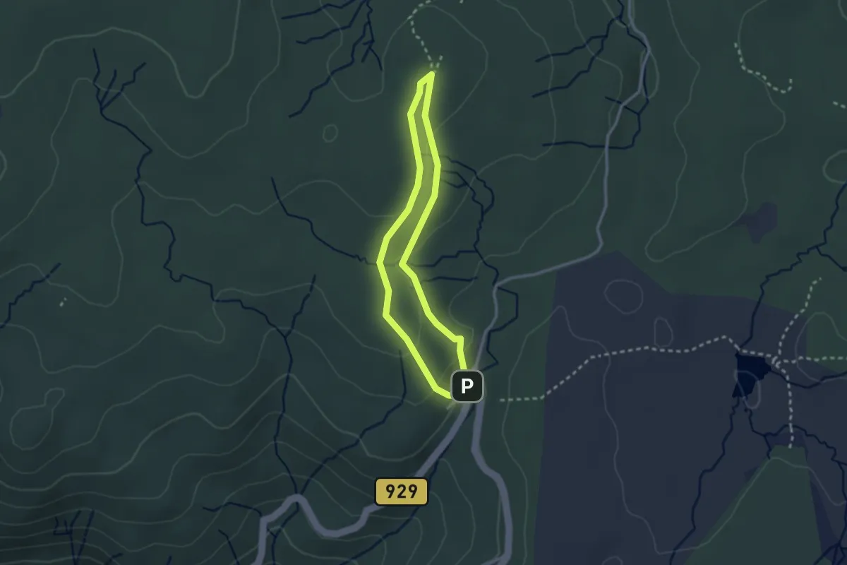
Easy · Cabin
Krožna pot na bojišče Pohorskega bataljona
2.2 km · ↑ 62 m · 41 min
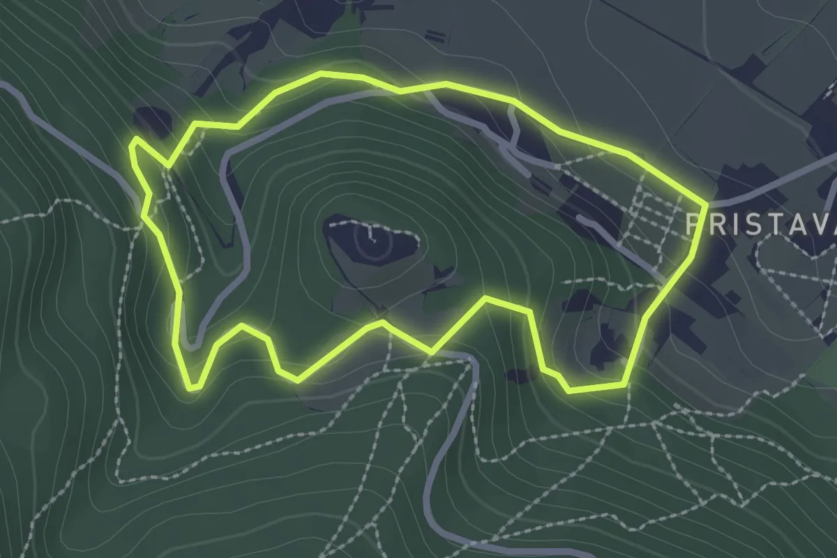
Easy · Trail
Krožna pot na grad
2.4 km · ↑ 138 m · 54 min
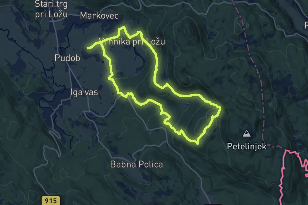
Medium · Summit
Krožna pot Viševek - Gornje Poljane
14.9 km · ↑ 523 m · 4 h 52 min
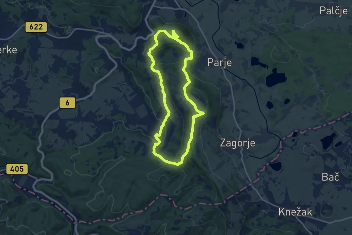
Medium · Summit
Krožna pot vojaške zgodovine
10.8 km · ↑ 446 m · 3 h 40 min
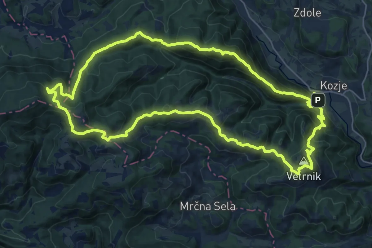
Demanding · Summit
Krožna Zmajeva pot
19.3 km · ↑ 1092 m · 7 h 12 min
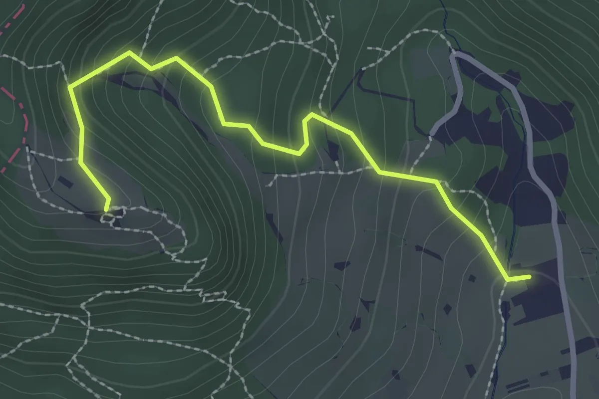
Easy · Trail
Krpin - Sv. Peter
2.5 km · ↑ 218 m · 1 h 4 min
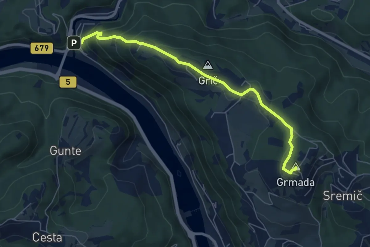
Medium · Summit
Krško - Grmada - Brestanica
6.1 km · ↑ 329 m · 2 h 9 min
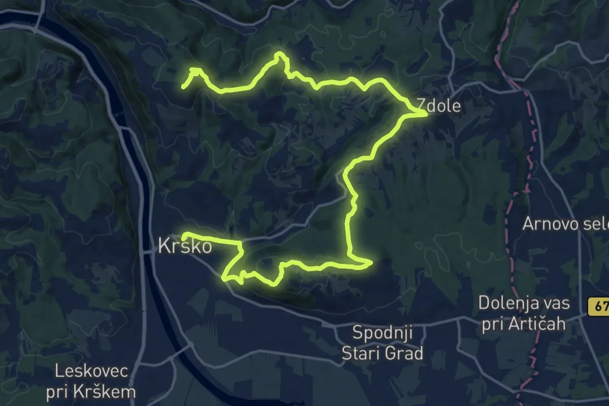
Demanding · Summit
Krško - Libna - Grmada
25.0 km · ↑ 745 m · 7 h 31 min
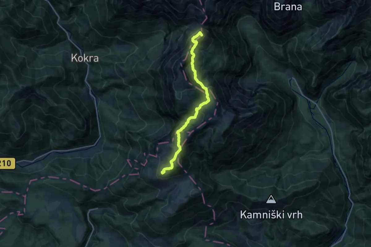
Expert · Summit
Krvavec - Kalce - Kokrsko sedlo
13.9 km · ↑ 1101 m · 5 h 40 min
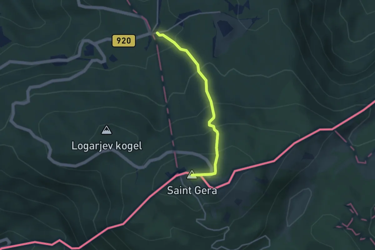
Easy · Summit
Krvavi kamen - Trdinov vrh
2.9 km · ↑ 241 m · 1 h 12 min
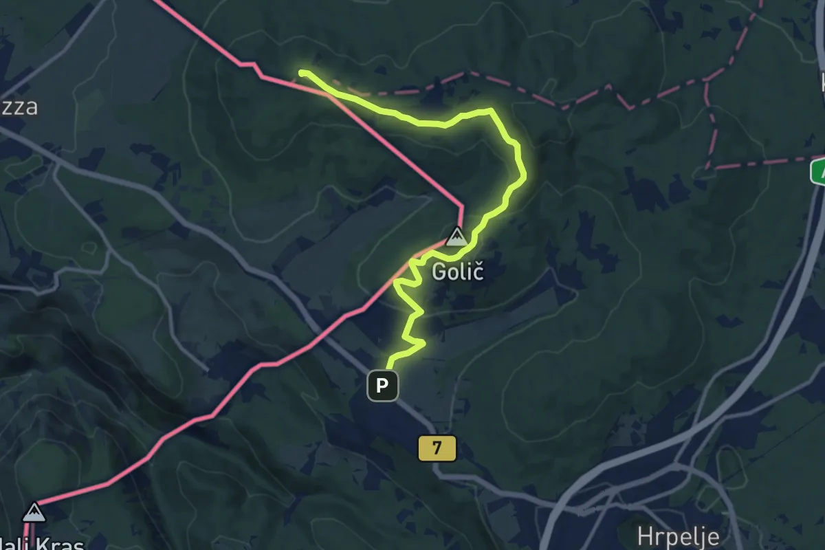
Medium · Summit
Krvavi Potok - Kokoš
11.7 km · ↑ 247 m · 3 h 17 min
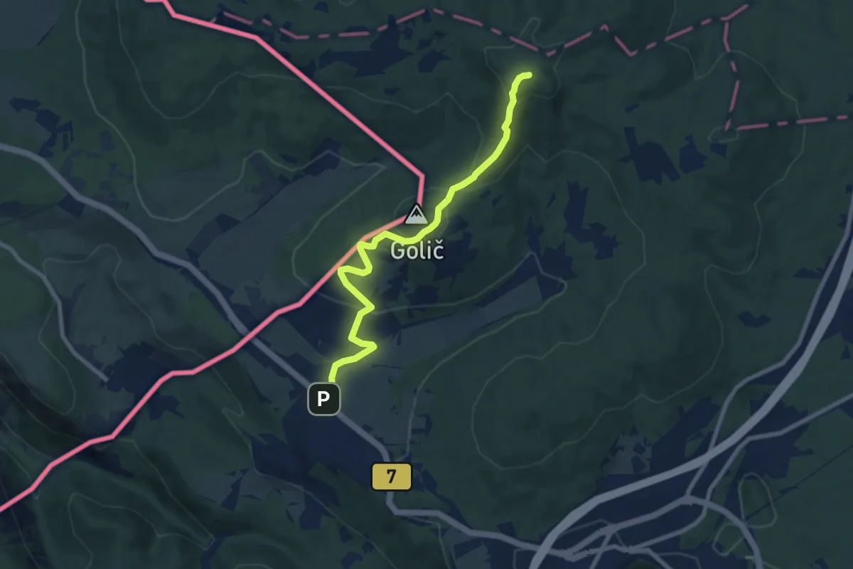
Easy · Summit
Krvavi Potok - Veliko Gradišče
7.7 km · ↑ 285 m · 2 h 26 min
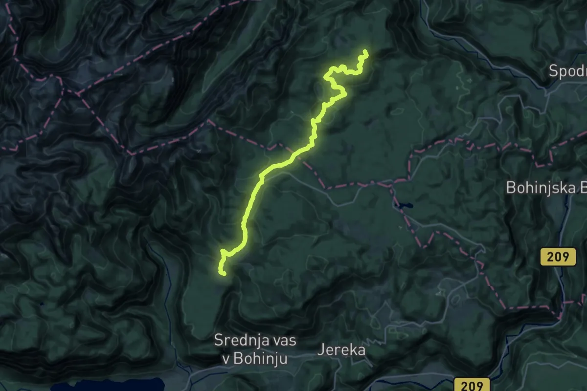
Demanding · Summit
Kugy-Dreiländerweg E 10A
26.3 km · ↑ 801 m · 7 h 56 min
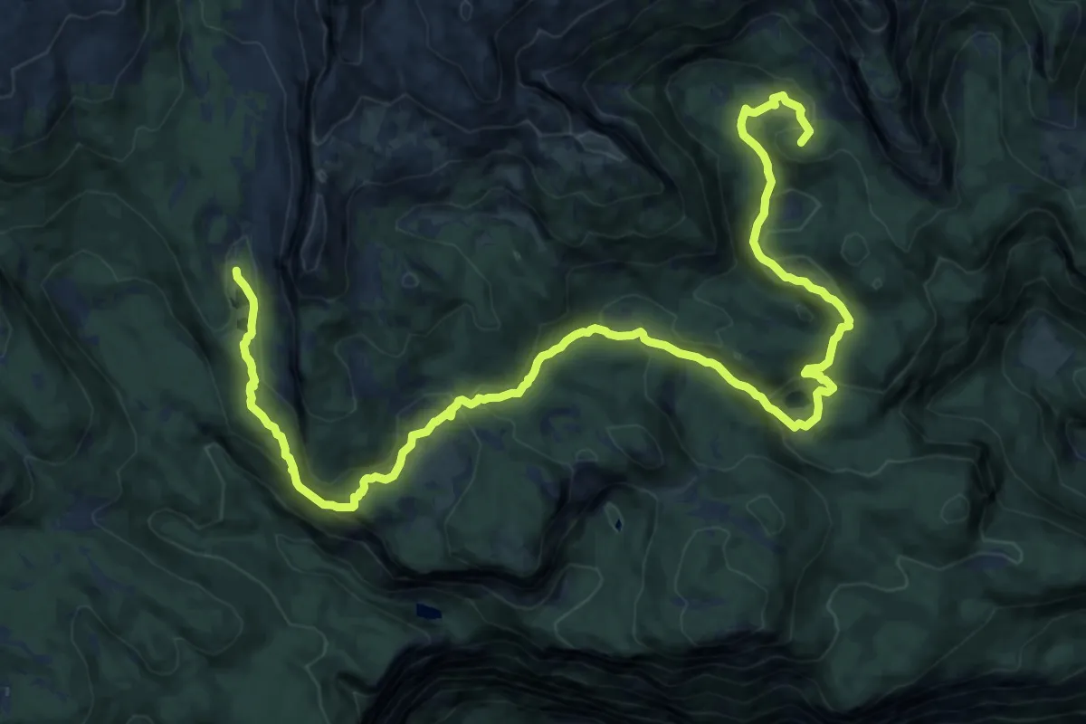
Demanding · Summit
Kugy-Dreiländerweg E 11A
19.6 km · ↑ 791 m · 6 h 21 min
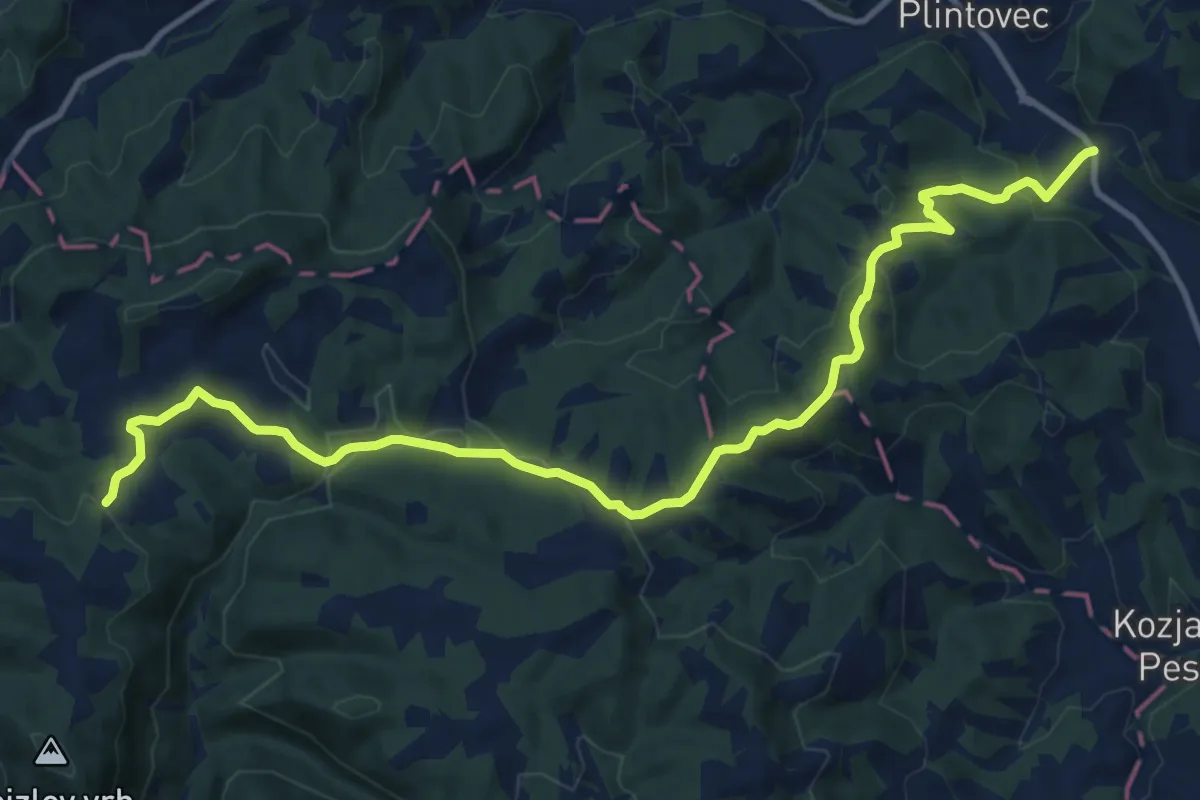
Medium · Trail
Kungota - Gaj nad Mariborom
13.9 km · ↑ 431 m · 4 h 13 min
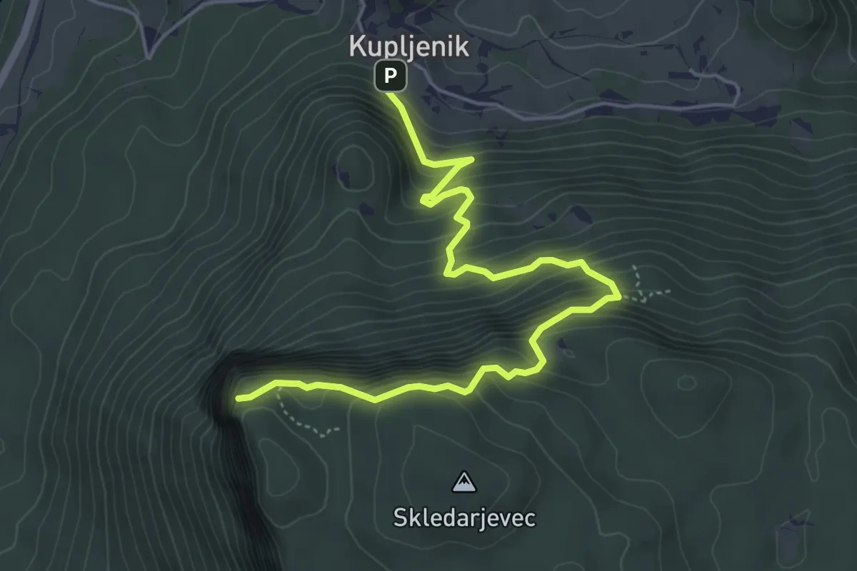
Medium · Trail
Kupljenik - Babji zob
5.7 km · ↑ 601 m · 2 h 39 min
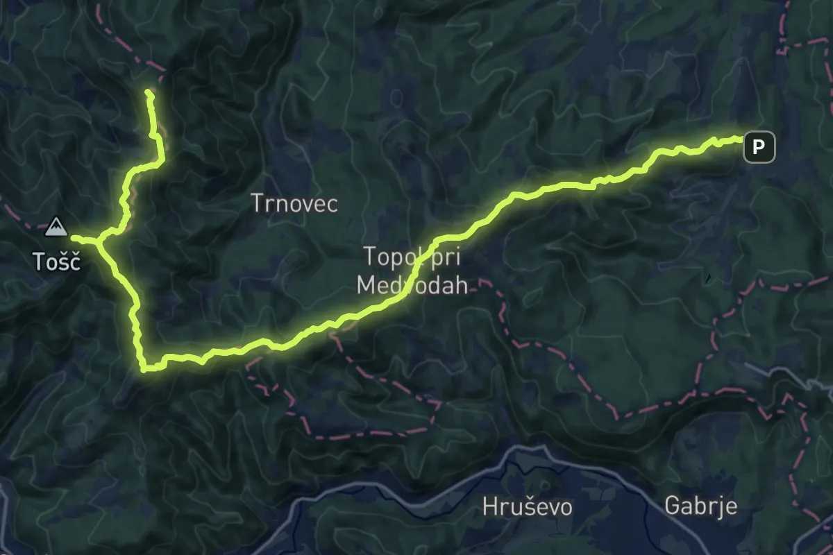
Demanding · Summit
Kurirska pota Dolomitov
24.6 km · ↑ 1434 m · 8 h 55 min
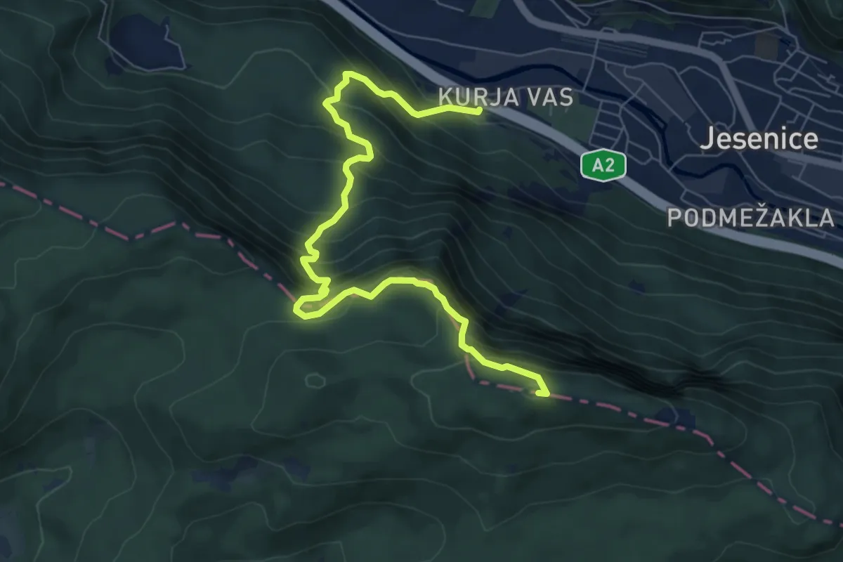
Medium · Summit
Kurja vas - Špica - Planski vrh
8.1 km · ↑ 755 m · 3 h 33 min
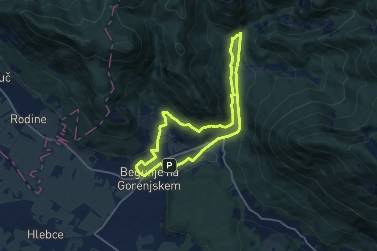
Medium · Trail
Lambergova pot
7.6 km · ↑ 246 m · 2 h 26 min
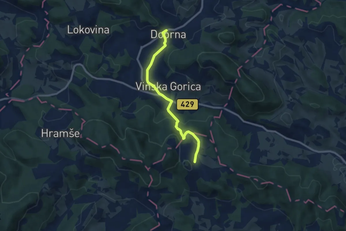
Easy · Trail
Lanšperška pot
5.9 km · ↑ 232 m · 1 h 54 min
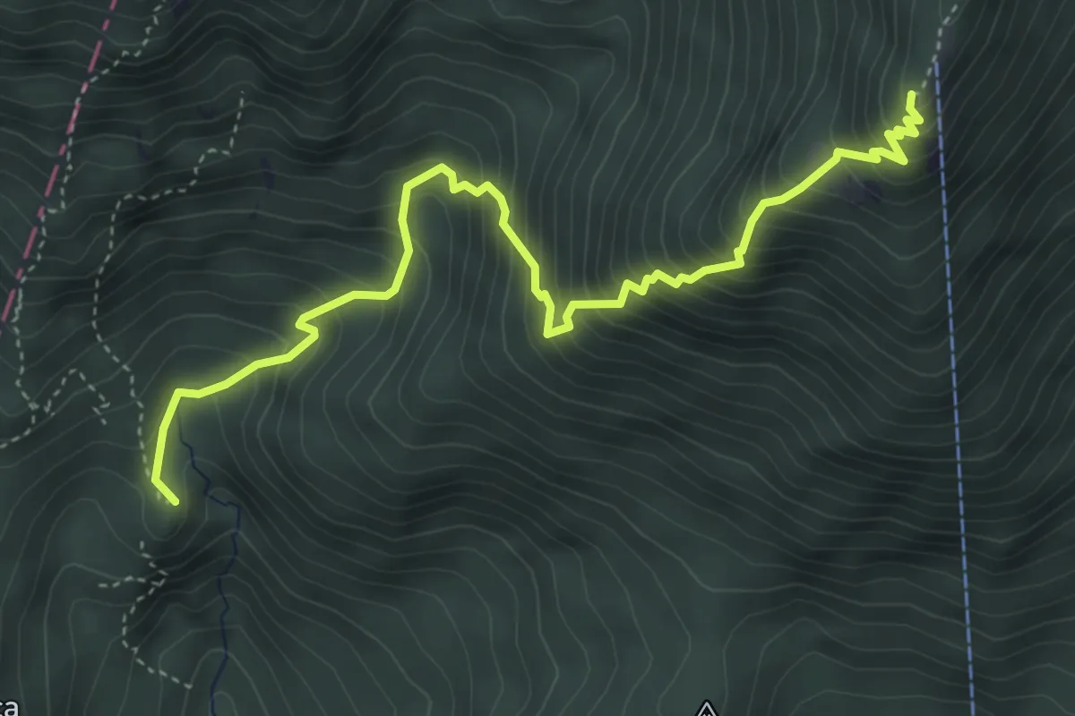
Medium · Summit
Laško - Kališče
5.1 km · ↑ 694 m · 2 h 42 min
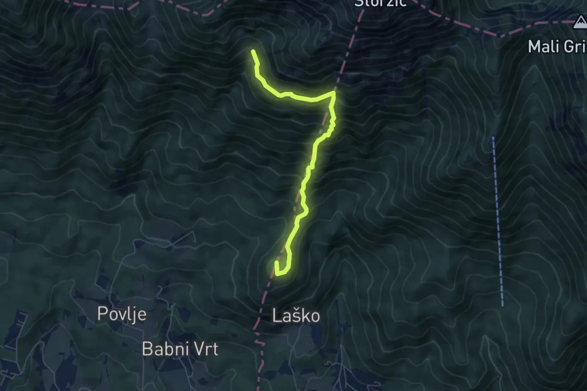
Medium · Summit
Laško - Sv. Lovrenc - Pl. Javornik
5.8 km · ↑ 777 m · 3 h 4 min
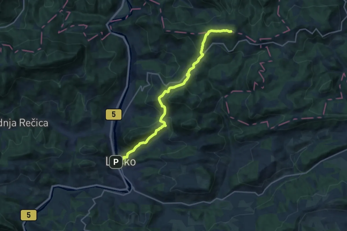
Demanding · Summit
Laško - Tolsti vrh
14.4 km · ↑ 843 m · 5 h 13 min
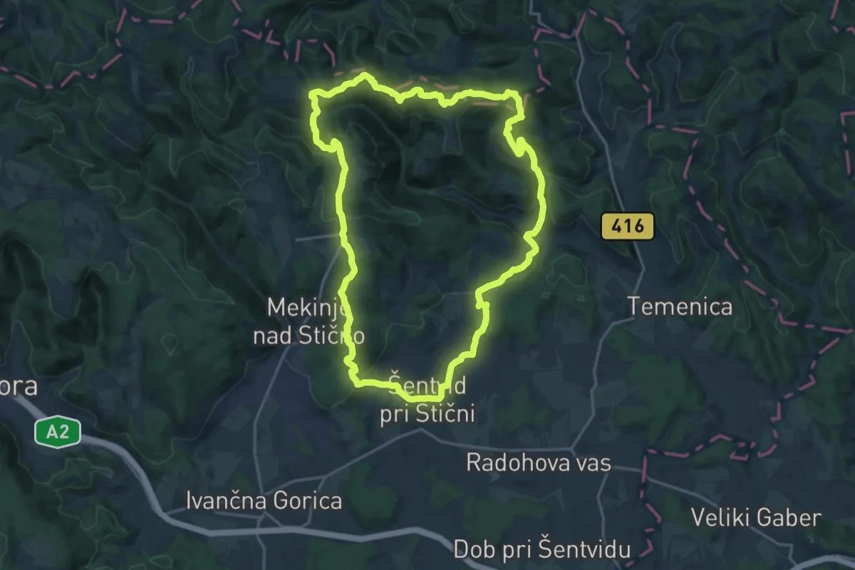
Demanding · Summit
Lavričeva pot
18.0 km · ↑ 811 m · 6 h 15 min