Trails in Slovenia
1,594 hiking trails, each with its route, climb, walking time and grade.
All trails, page 3 of 34
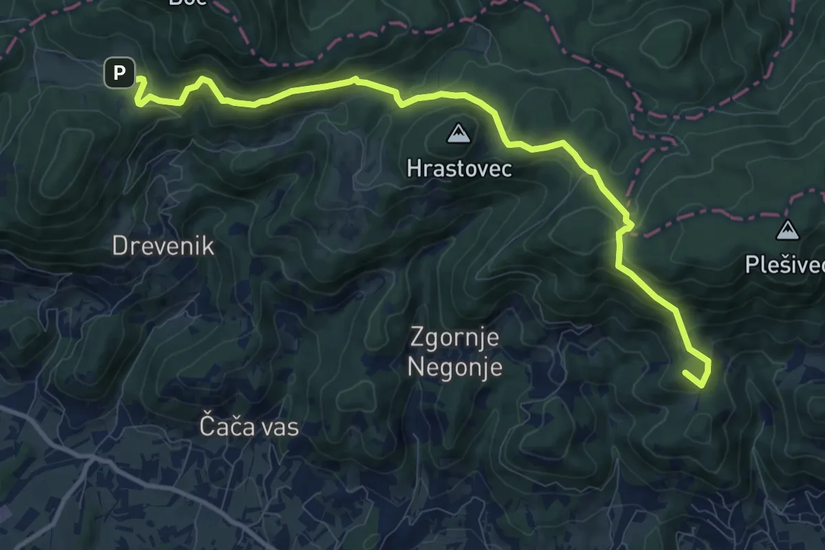
Medium · Summit
Cerovec - Dom na Boču
11.4 km · ↑ 561 m · 3 h 54 min
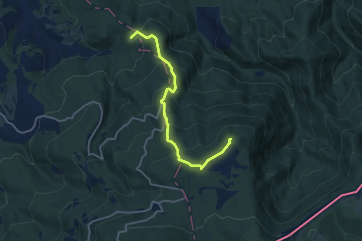
Medium · Summit
Cerov Log - Sv. Miklavž
7.5 km · ↑ 488 m · 2 h 49 min
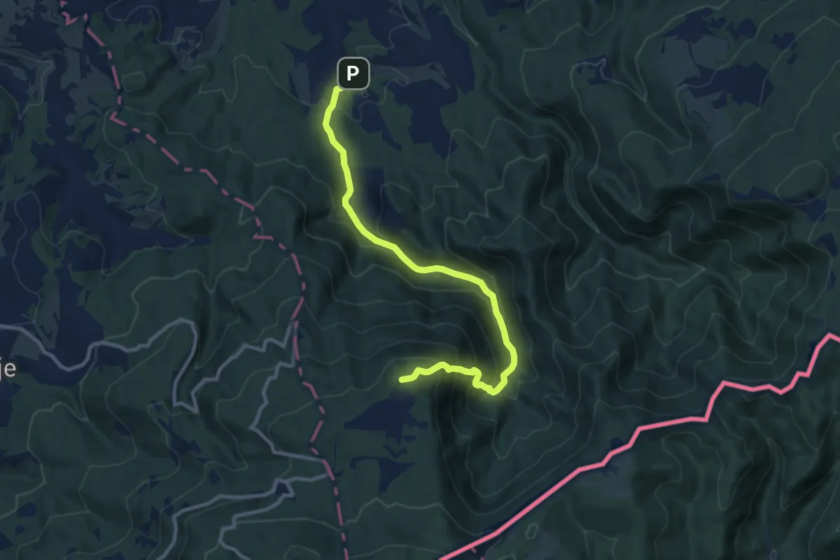
Medium · Cabin
Cerov Log - Sv. Miklavž (po cesti)
10.5 km · ↑ 748 m · 4 h 6 min
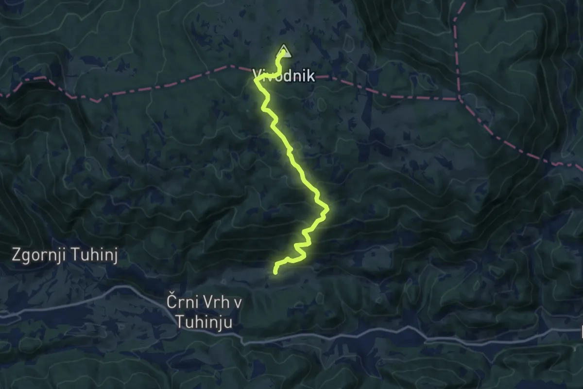
Demanding · Summit
Češnjice - Dom na Menini
11.0 km · ↑ 828 m · 4 h 24 min
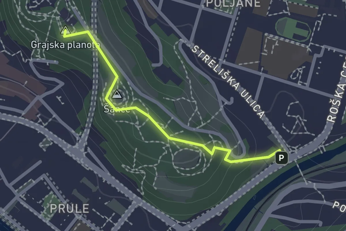
Easy · Summit
Čez Ljubljanski grad
1.9 km · ↑ 54 m · 33 min
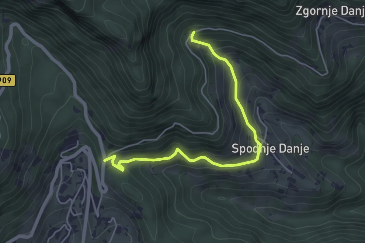
Easy · Trail
Čez Spodnje Danje
4.2 km · ↑ 286 m · 1 h 37 min
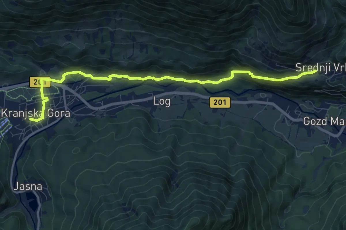
Medium · Trail
Čičare to Srednji Vrh 19
9.9 km · ↑ 352 m · 3 h 6 min
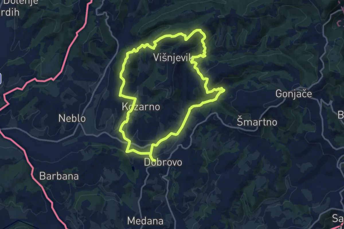
Medium · Summit
Čmpevka
11.4 km · ↑ 372 m · 3 h 39 min
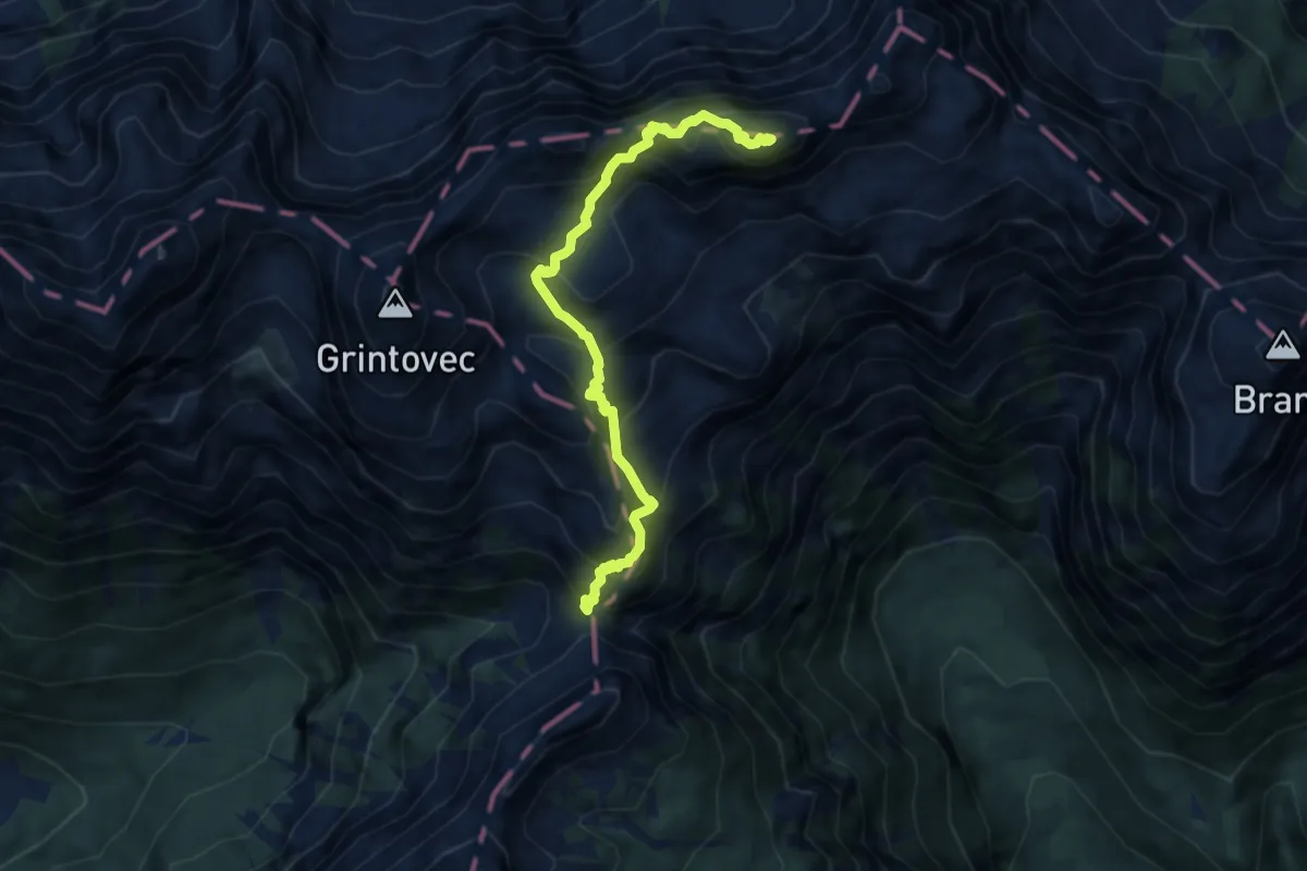
Demanding · Summit
Cojzova koča - Skuta
7.8 km · ↑ 945 m · 3 h 53 min
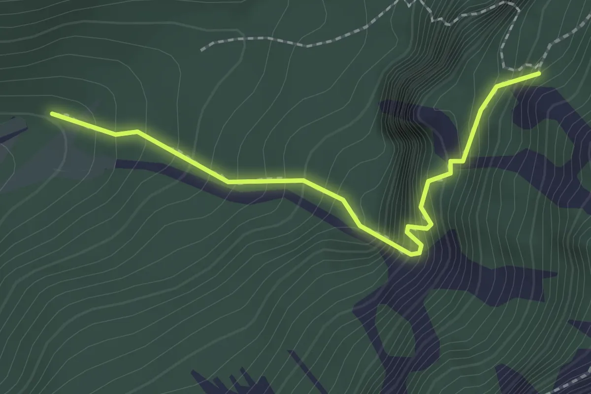
Medium · Trail
Cojzova koča (stara pot)
2.1 km · ↑ 318 m · 1 h 12 min
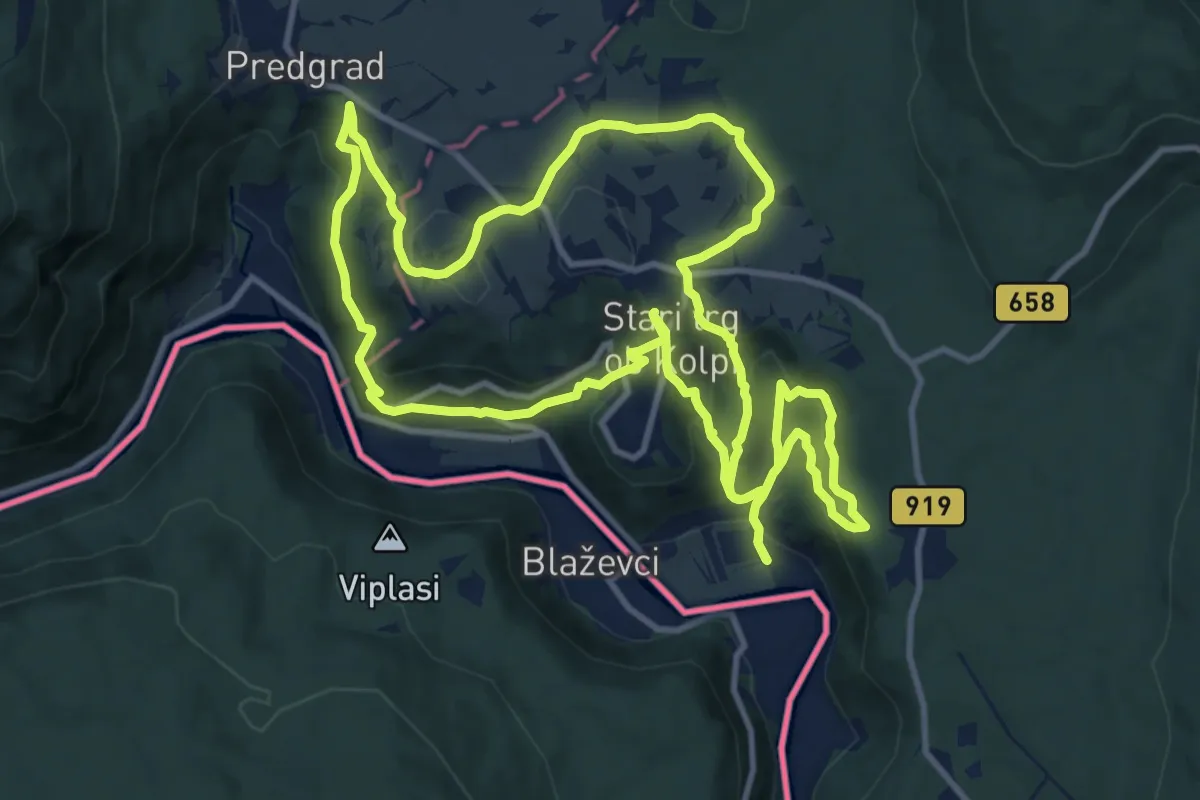
Medium · Trail
Čredniška pot
13.0 km · ↑ 594 m · 4 h 32 min
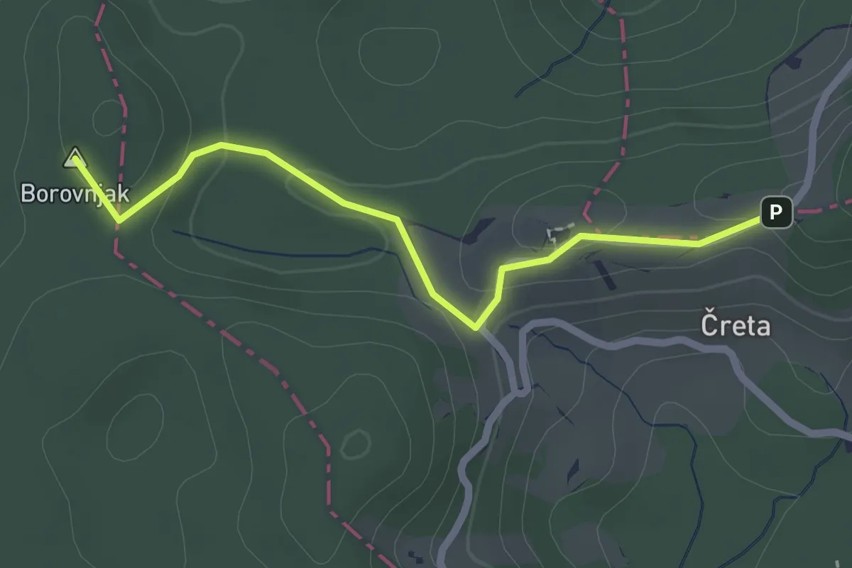
Easy · Summit
Čreta - Dom na Farbanci
2.2 km · ↑ 48 m · 37 min
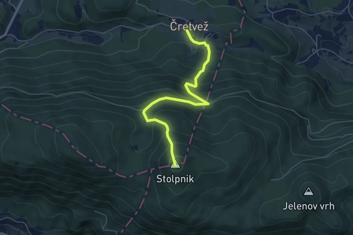
Medium · Summit
Čretvež - Štepih - Stolpnik
5.4 km · ↑ 472 m · 2 h 18 min
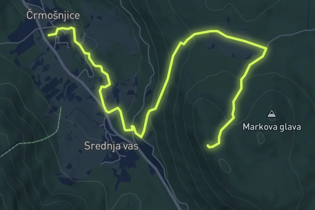
Medium · Trail
Črmošnjice - Stene Markove glave
9.3 km · ↑ 362 m · 2 h 59 min
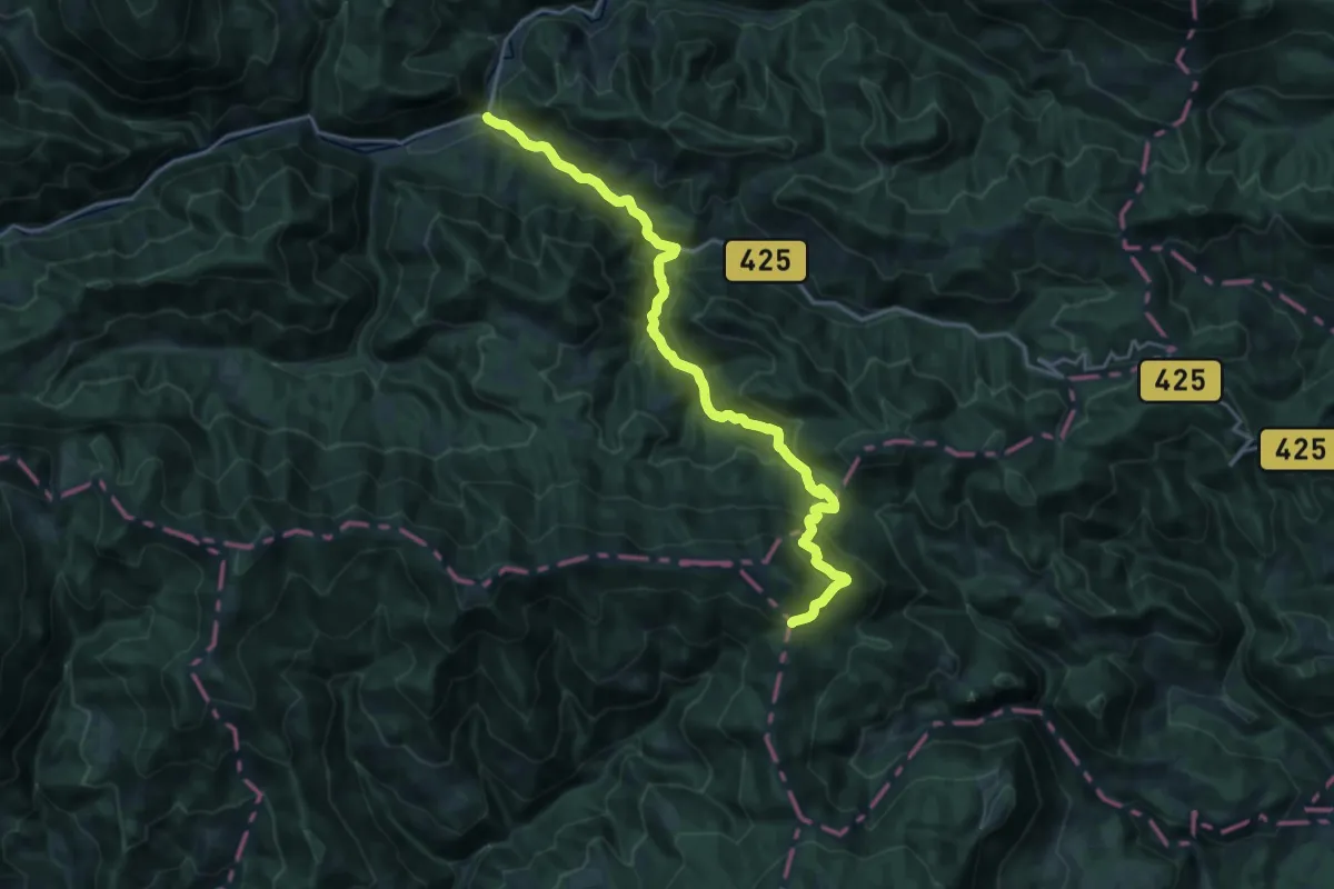
Demanding · Cabin
Črna - Dom na Smrekovcu
21.2 km · ↑ 1027 m · 7 h 13 min
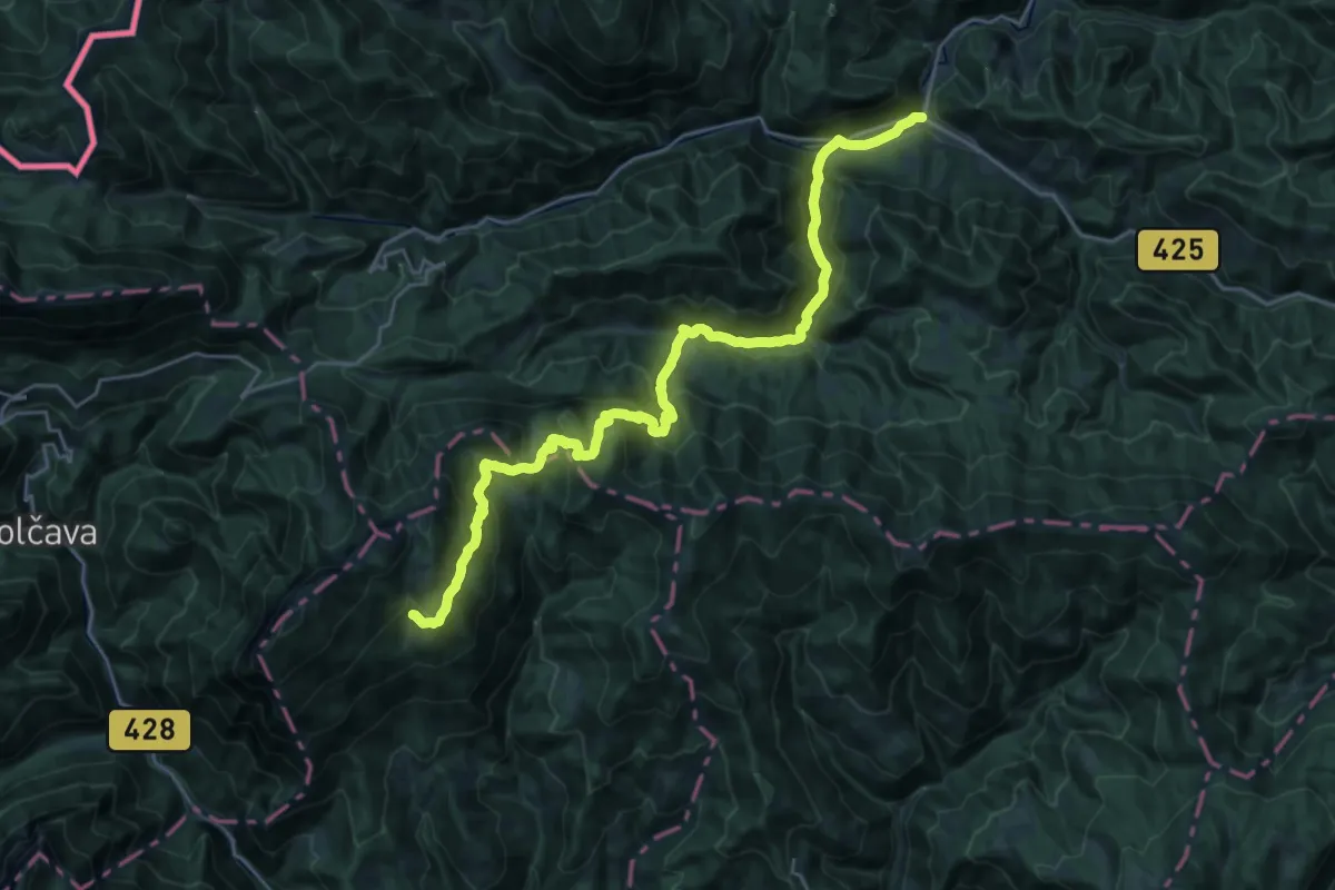
Demanding · Cabin
Črna - Koča na Loki
14.3 km · ↑ 1212 m · 5 h 44 min
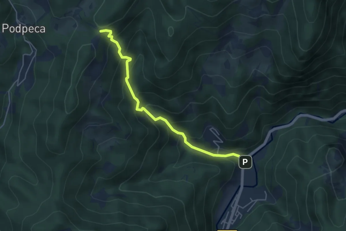
Medium · Cabin
Črna-Koča na Pikovem
4.1 km · ↑ 421 m · 1 h 53 min
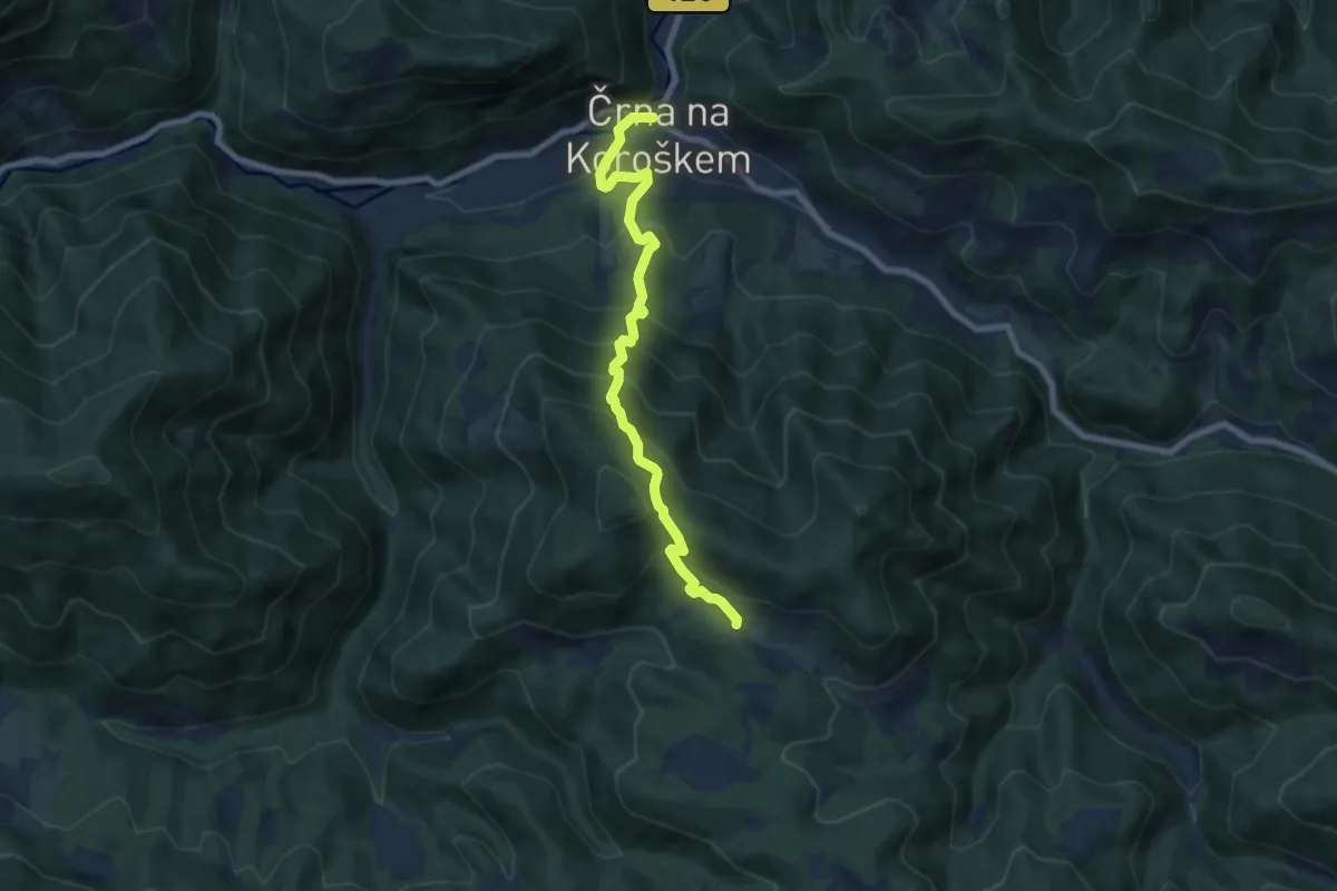
Medium · Trail
Črna - Najevska lipa
7.6 km · ↑ 766 m · 3 h 28 min
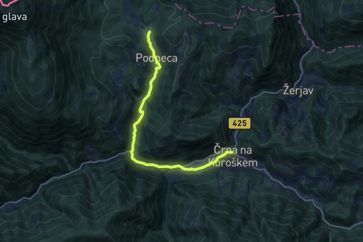
Medium · Trail
Črna - Podpeca
11.2 km · ↑ 399 m · 3 h 31 min
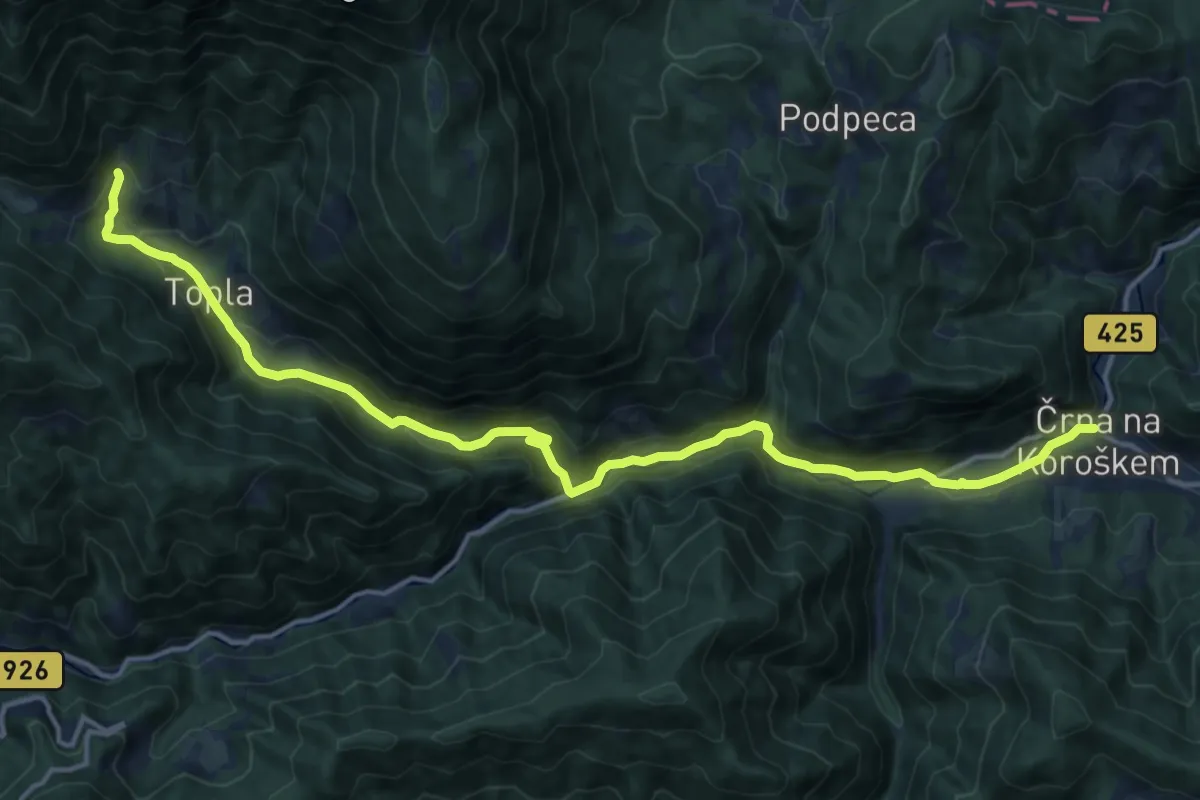
Medium · Trail
Črna - Topla
17.3 km · ↑ 608 m · 5 h 24 min
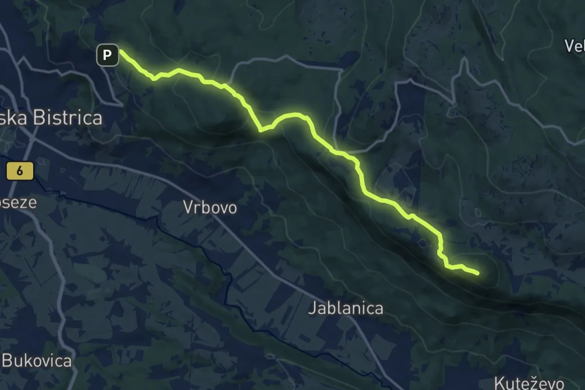
Medium · Summit
Črne njive - Kozlek
13.8 km · ↑ 599 m · 4 h 34 min
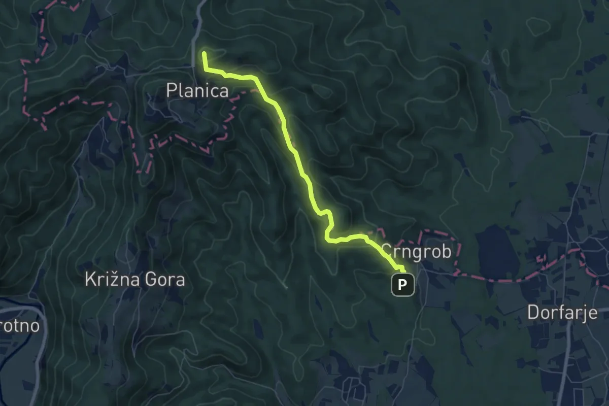
Medium · Summit
Crngrob - Planica
6.4 km · ↑ 370 m · 2 h 19 min
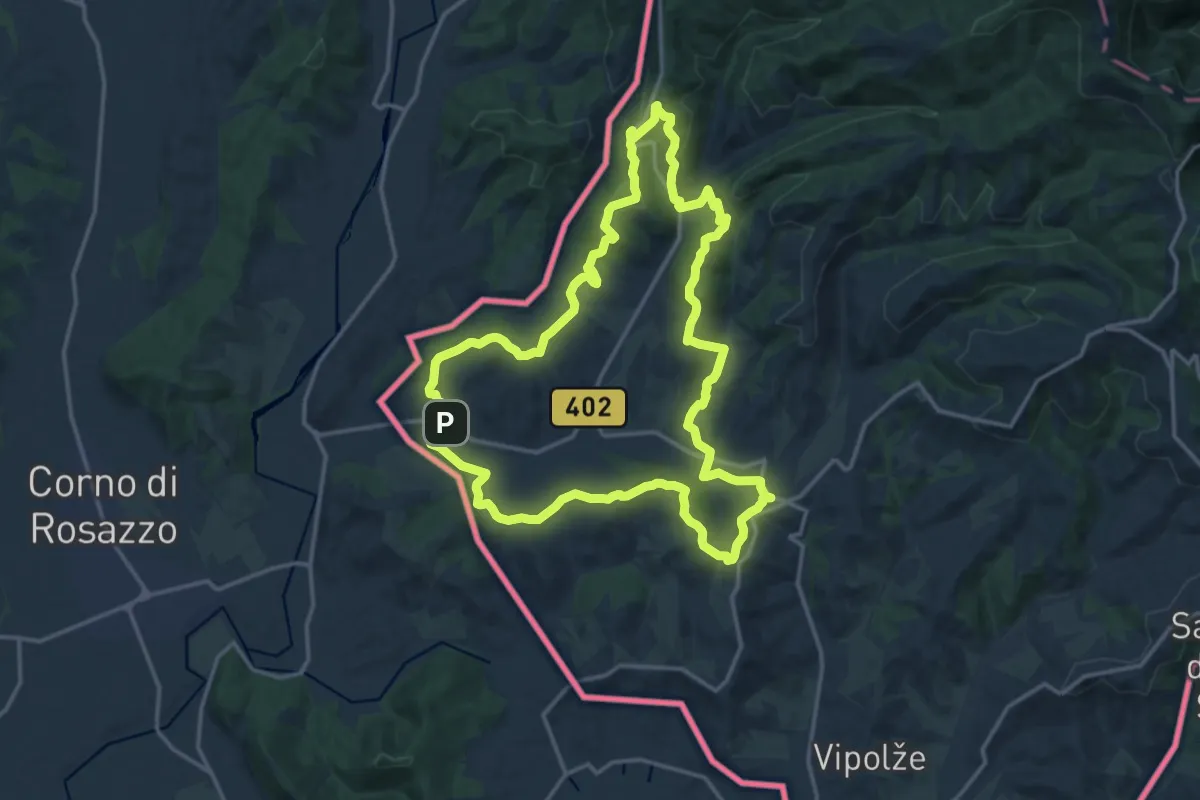
Medium · Summit
Črnica
16.6 km · ↑ 421 m · 5 h 4 min
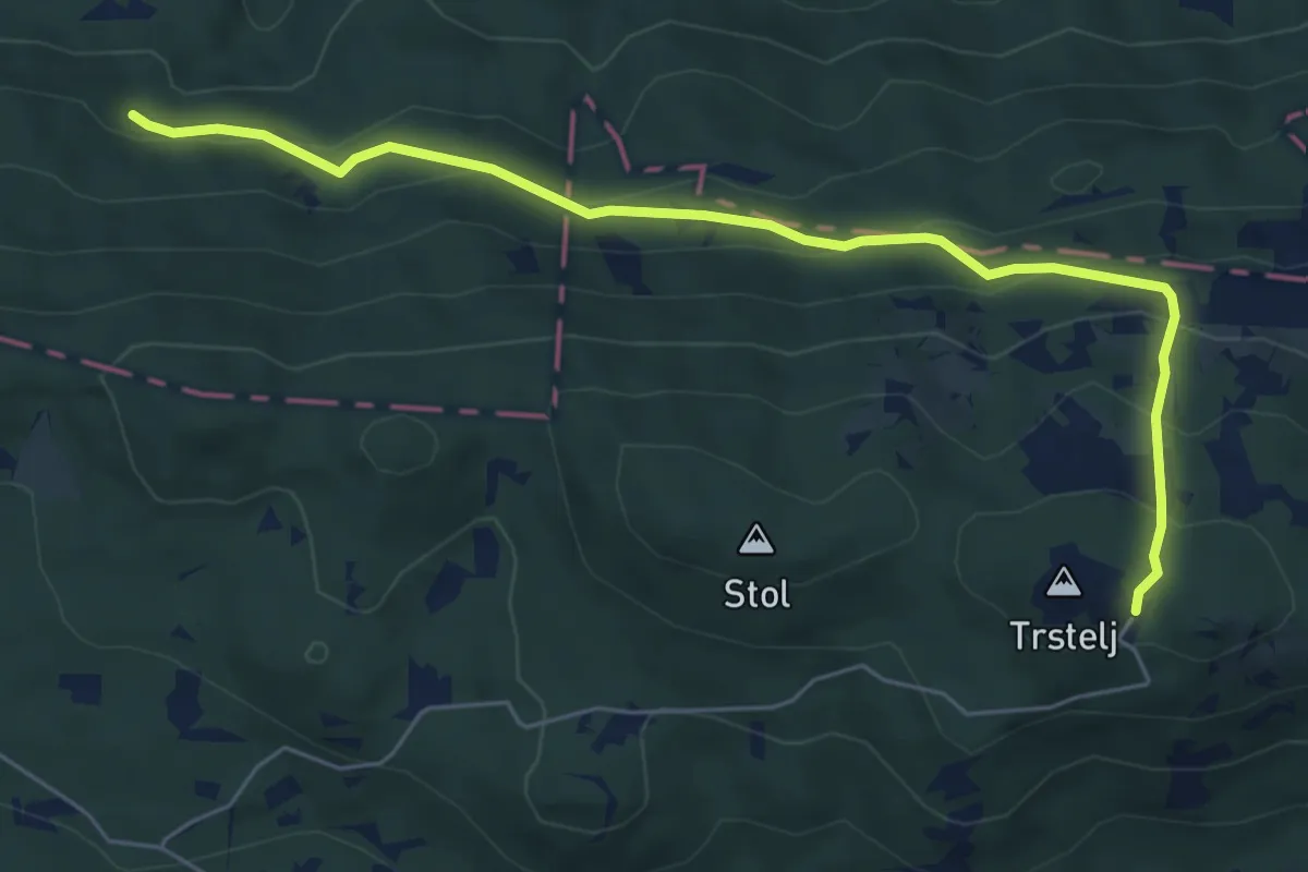
Demanding · Cabin
Črni hribi - Trstelj
6.5 km · ↑ 353 m · 2 h 18 min
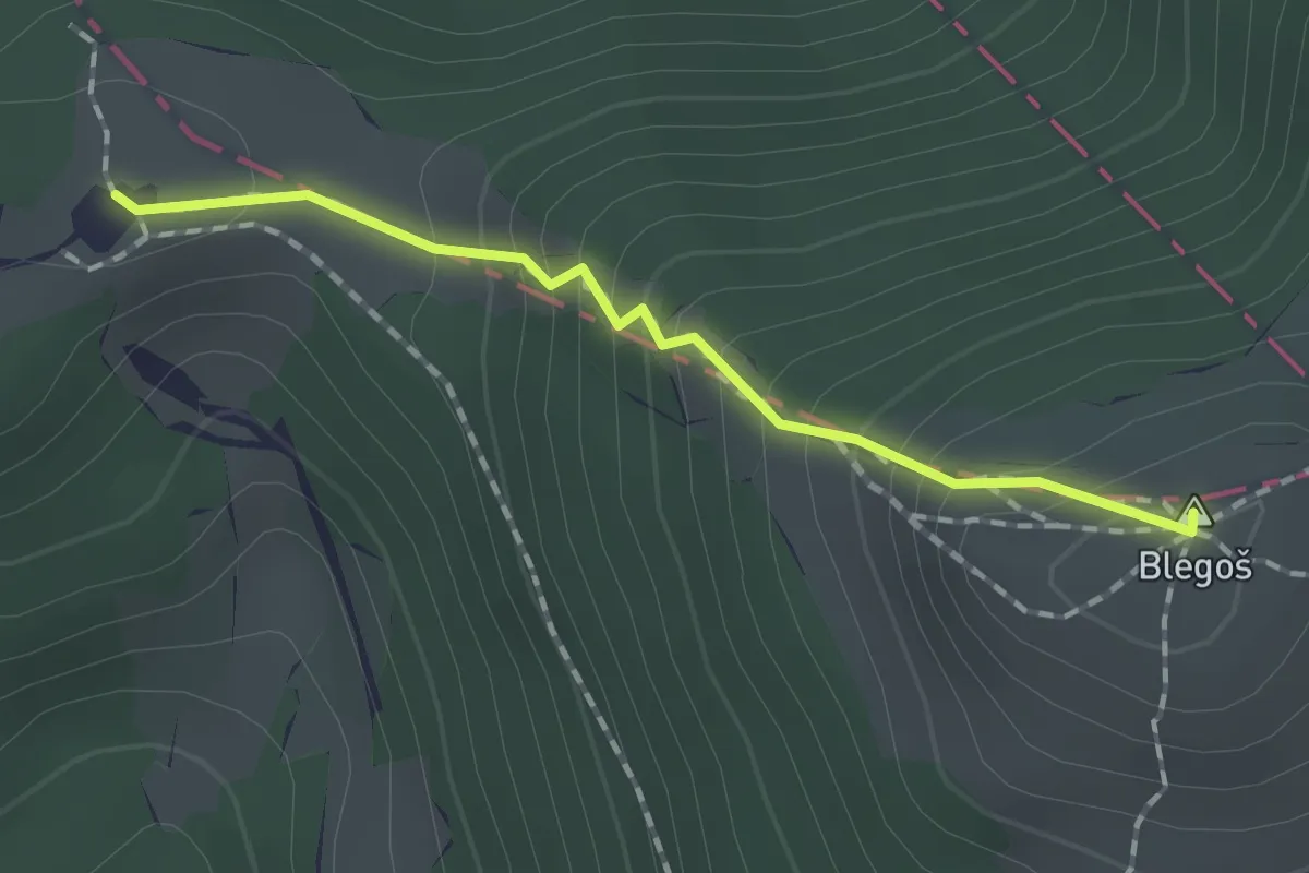
Easy · Summit
Črni kal - Blegoš - Koča na Blegošu
1.4 km · ↑ 158 m · 41 min
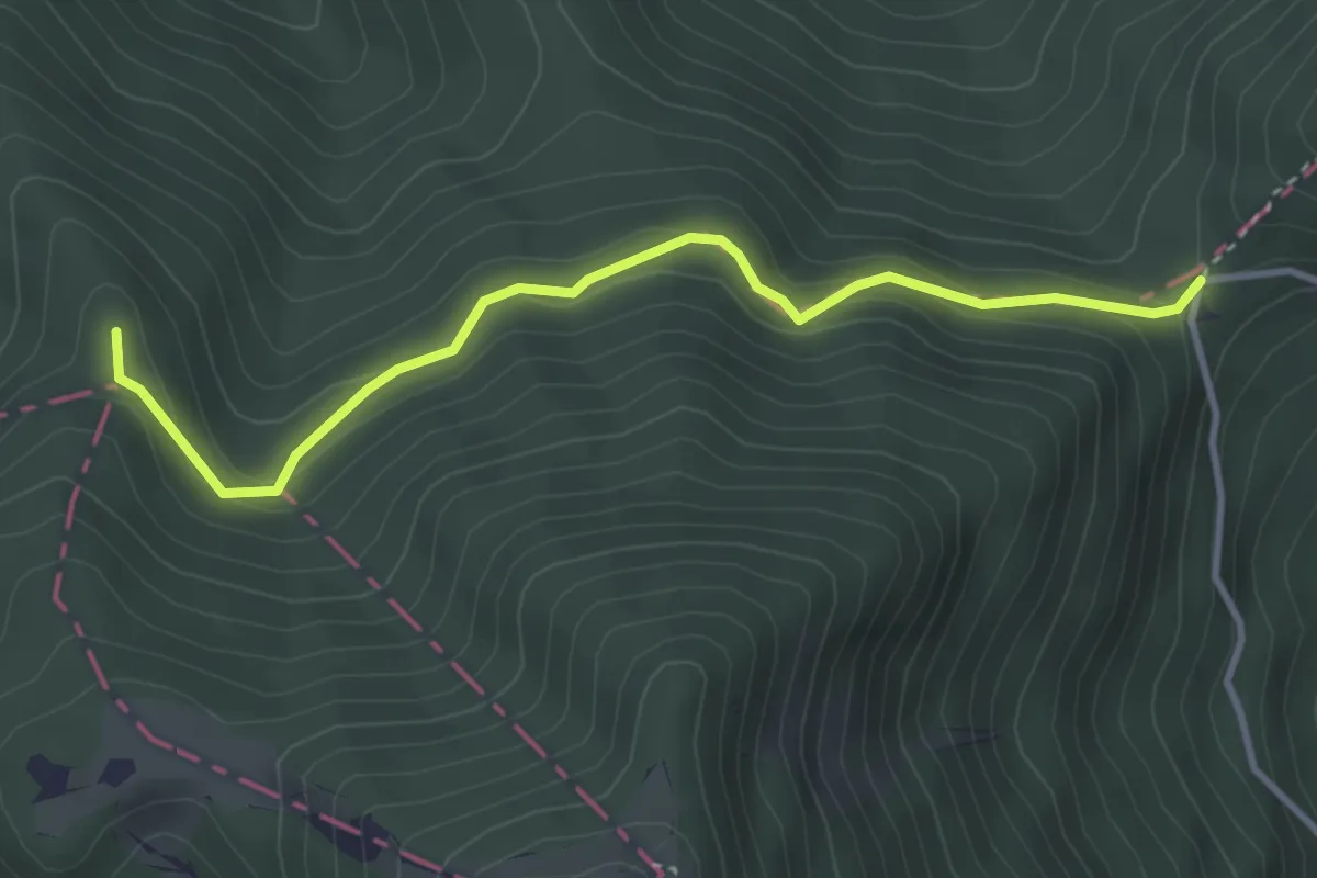
Easy · Summit
Črni kal - Koča na Blegošu
3.6 km · ↑ 194 m · 1 h 17 min
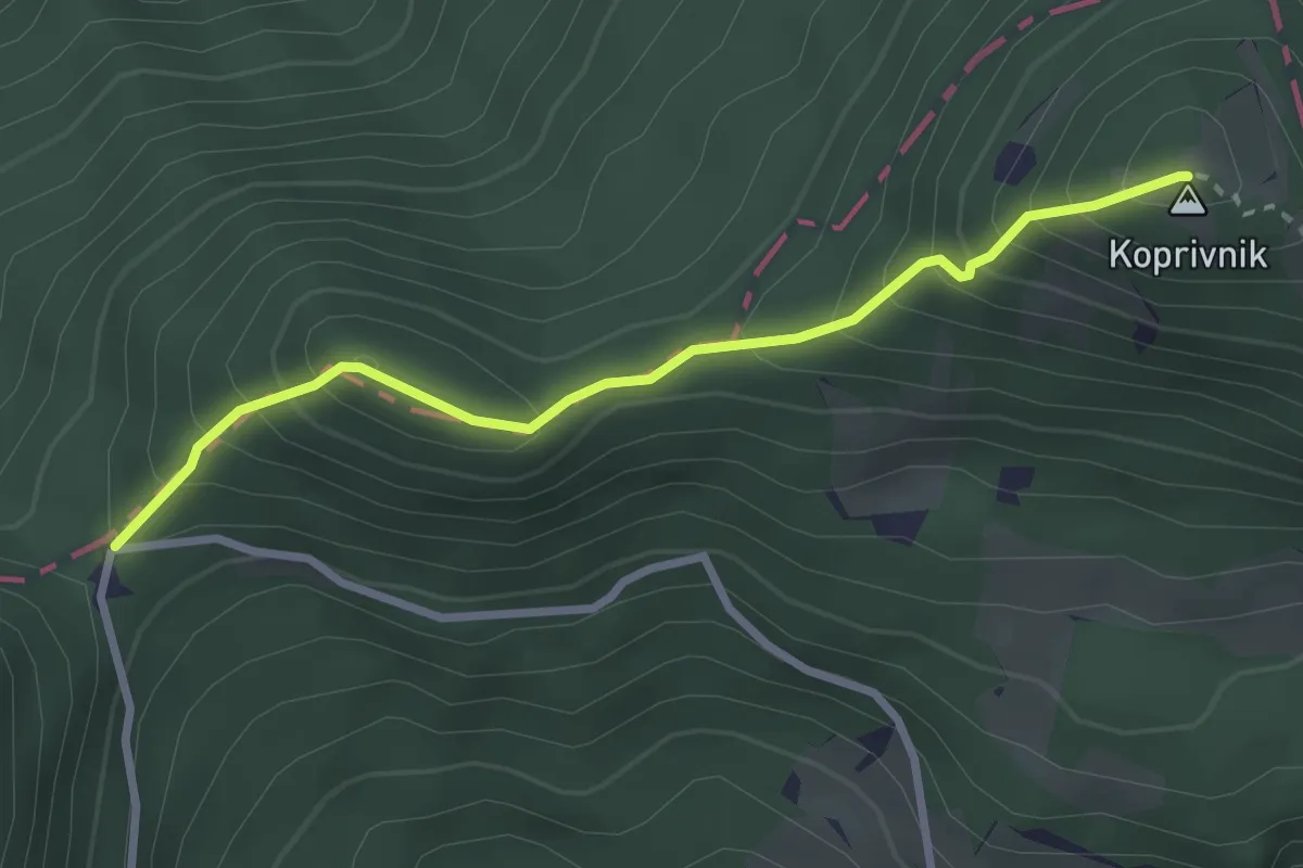
Medium · Summit
Črni kal - Koprivnik
2.8 km · ↑ 322 m · 1 h 22 min
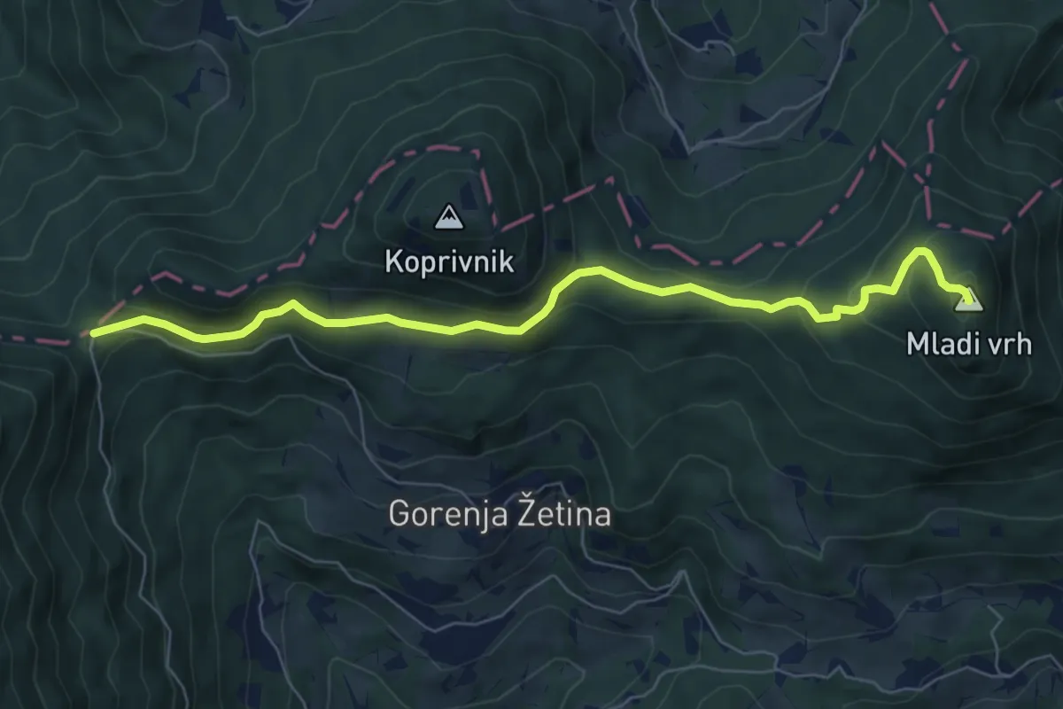
Medium · Summit
Črni kal - Mladi vrh
7.0 km · ↑ 396 m · 2 h 31 min
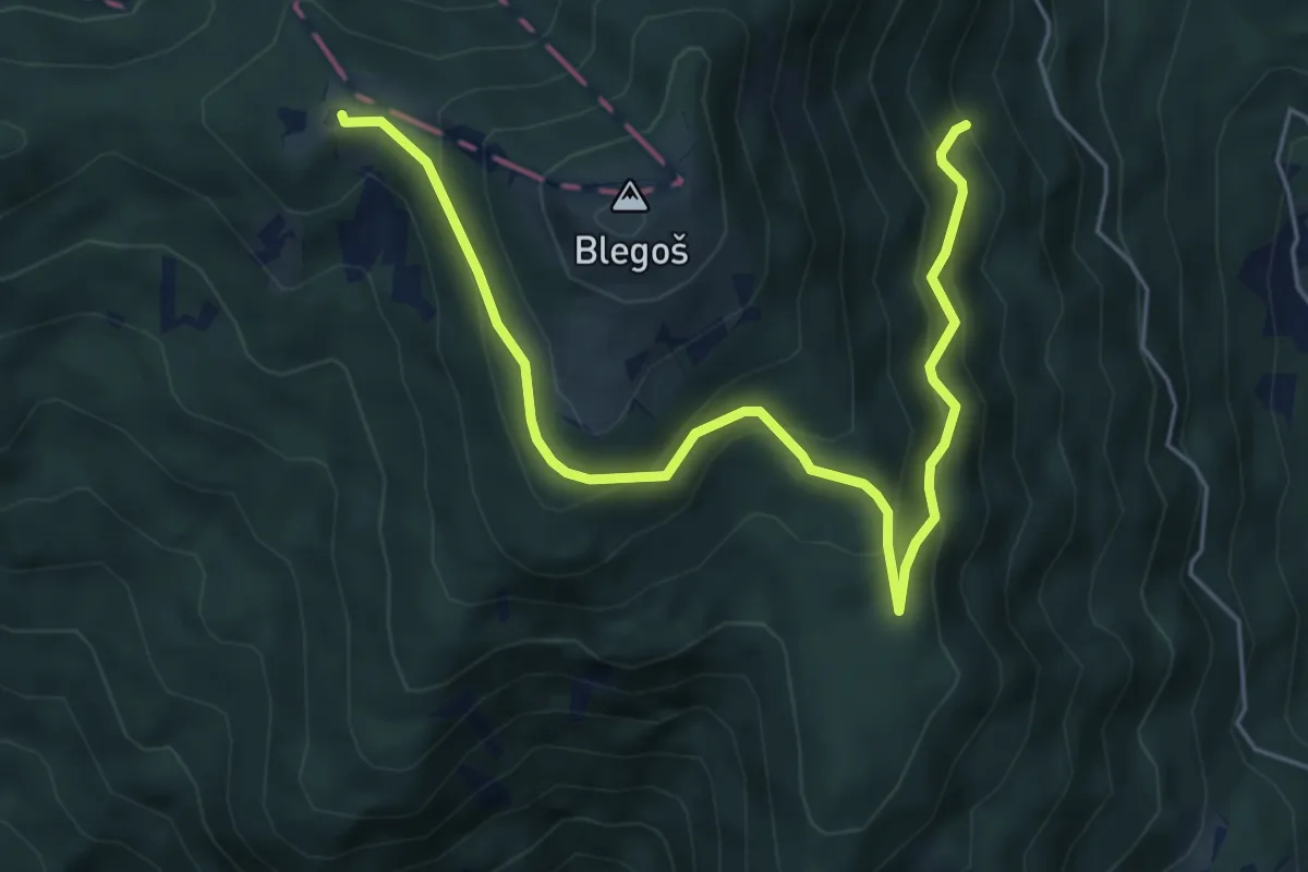
Medium · Summit
Črni kal - Prva ravan - Koča na Blegošu
6.3 km · ↑ 435 m · 2 h 26 min
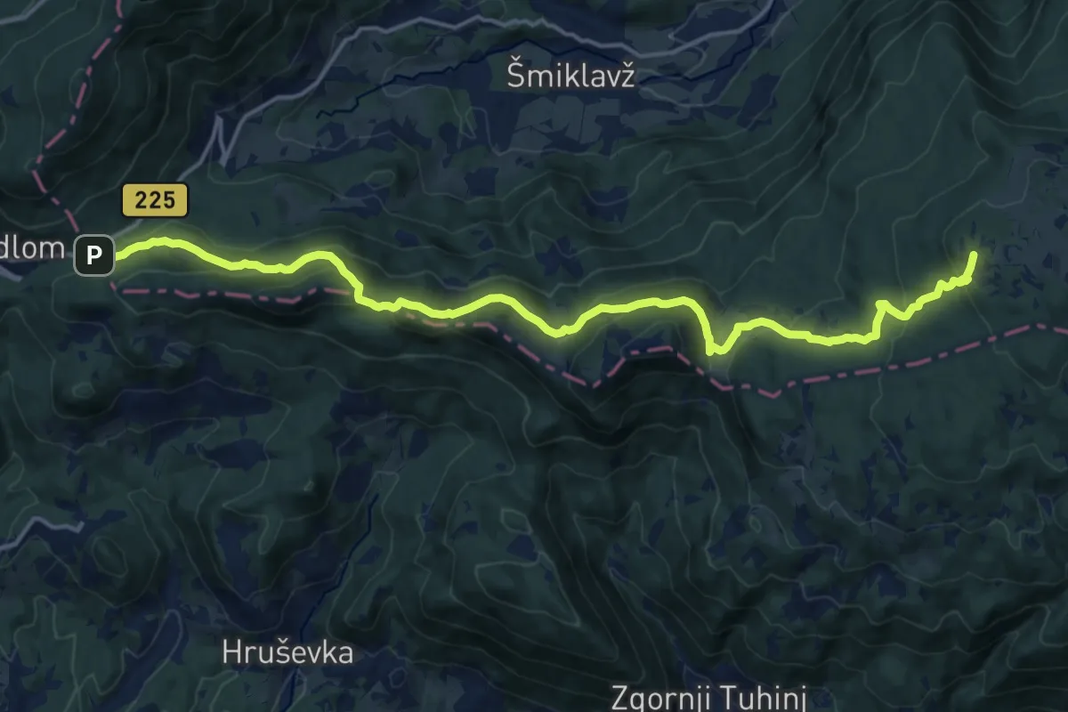
Demanding · Summit
Črnivec - Dom na Menini
18.5 km · ↑ 815 m · 6 h 9 min
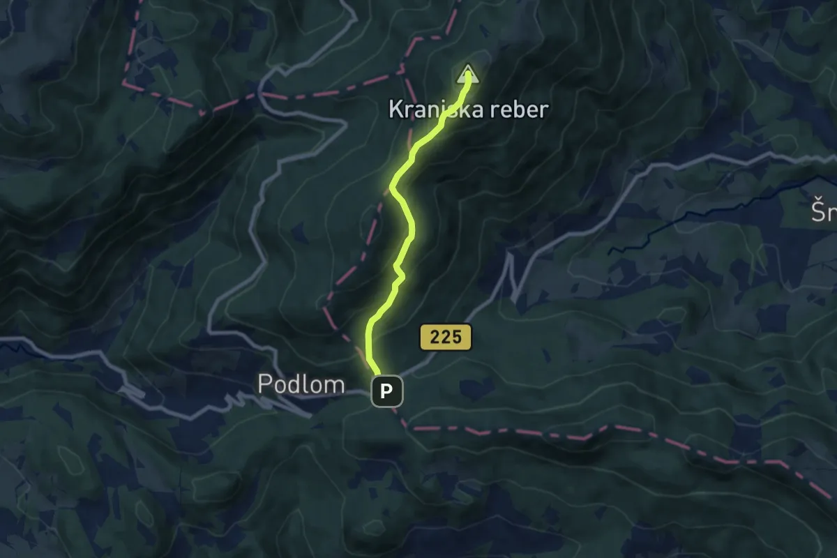
Medium · Summit
Črnivec - Lepenatka
6.3 km · ↑ 537 m · 2 h 39 min
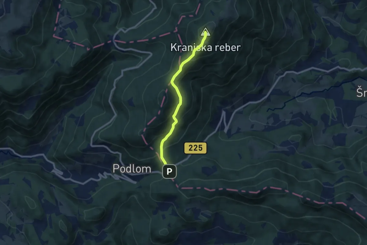
Medium · Summit
Črnivec - Vrh Kašne planine
6.3 km · ↑ 537 m · 2 h 39 min
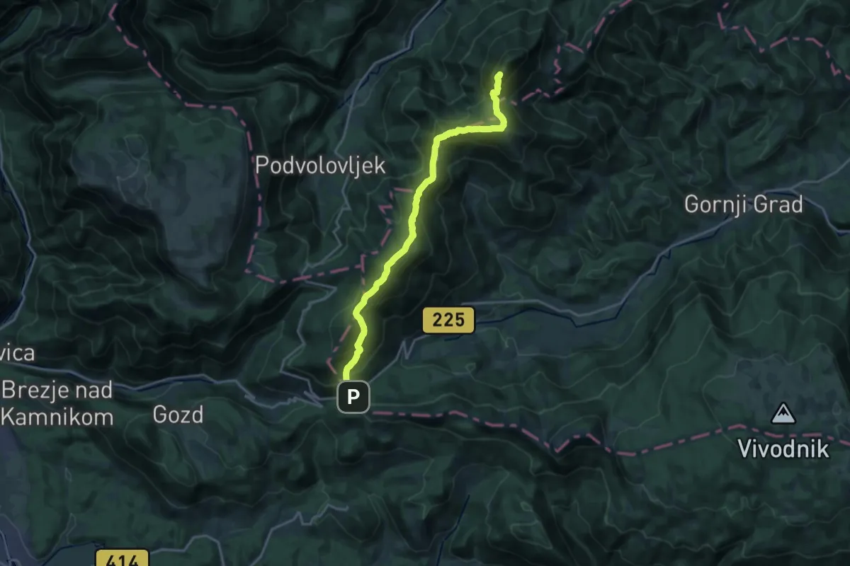
Expert · Summit
Črnivec - V. Rogatec
17.8 km · ↑ 1537 m · 7 h 32 min
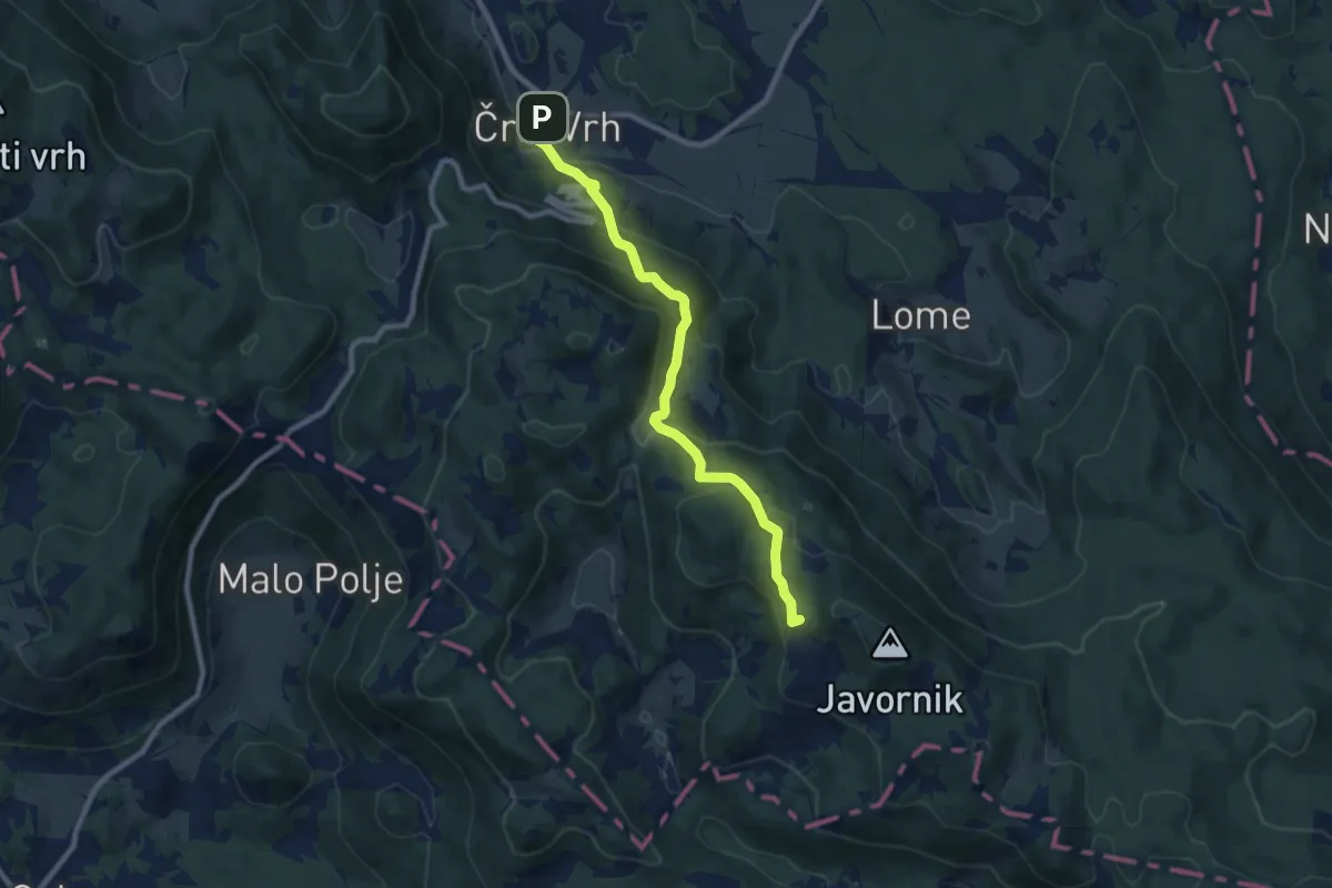
Medium · Summit
Črni Vrh - Pirnatova koča
8.7 km · ↑ 499 m · 3 h 8 min
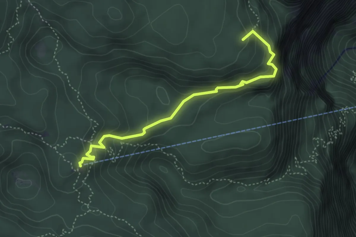
Medium · Summit
Črno jezero - Komna
4.3 km · ↑ 349 m · 1 h 46 min
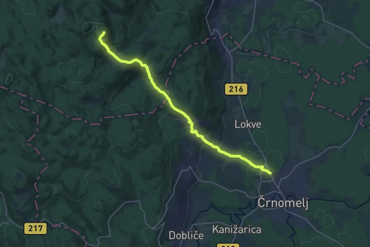
Demanding · Cabin
Črnomaljska pot
19.9 km · ↑ 930 m · 6 h 43 min
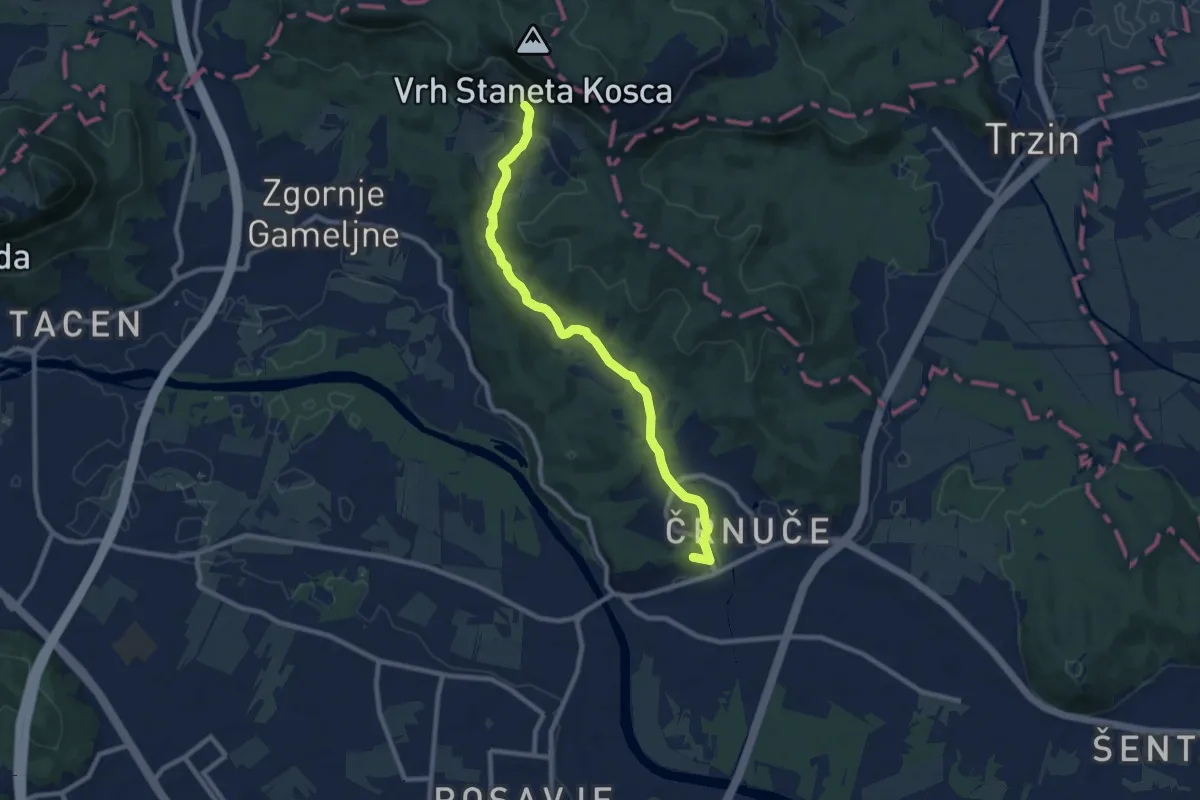
Medium · Summit
Črnuče - Vas Rašica
9.4 km · ↑ 172 m · 2 h 35 min
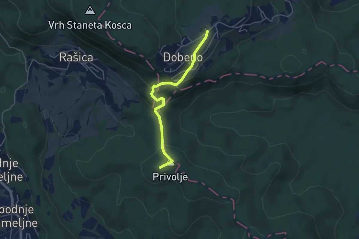
Easy · Summit
Črnuče - Zg. Dobeno
3.7 km · ↑ 142 m · 1 h 10 min
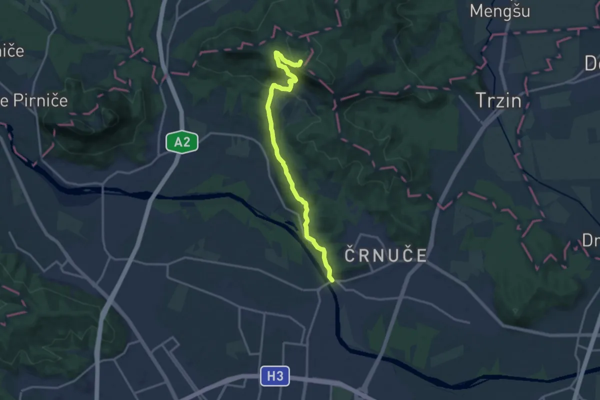
Medium · Summit
Črnuški most - Rašica
12.7 km · ↑ 464 m · 4 h
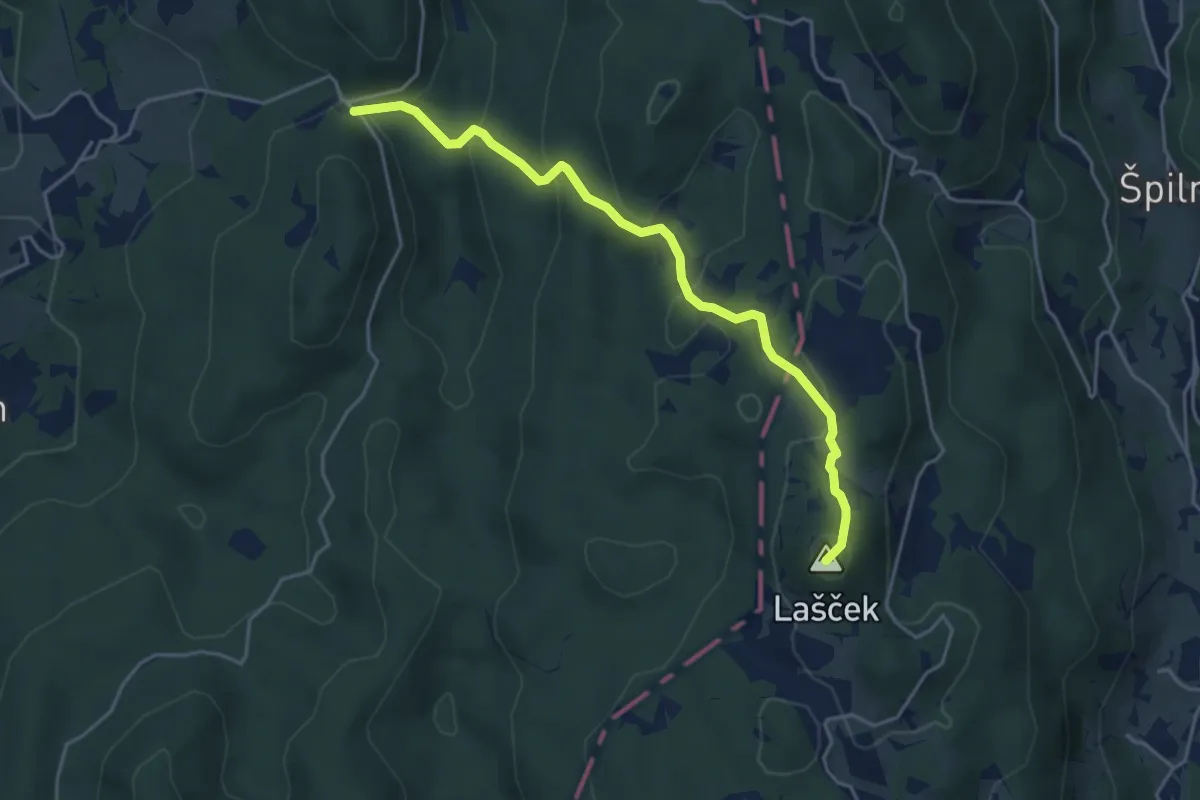
Easy · Summit
Cvetrež - Lašček
4.4 km · ↑ 244 m · 1 h 34 min
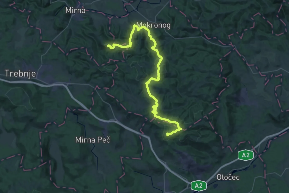
Demanding · Summit
Debenec - Grad Hmeljnik
40.6 km · ↑ 1407 m · 12 h 38 min
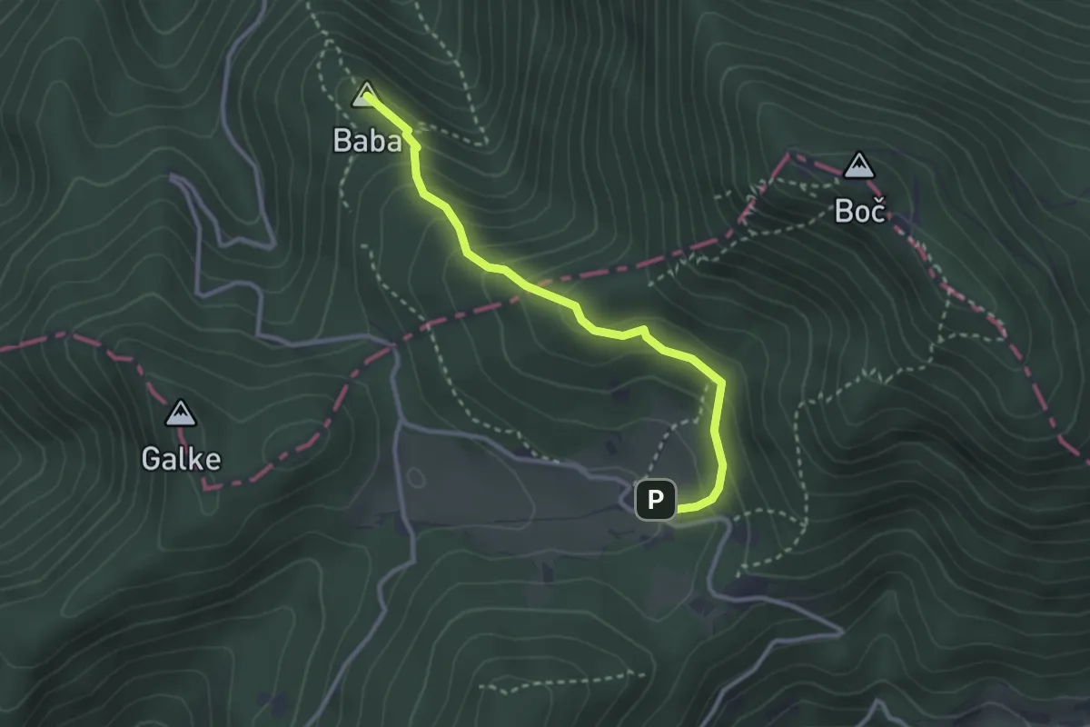
Medium · Summit
Detičkova pot
2.9 km · ↑ 243 m · 1 h 12 min
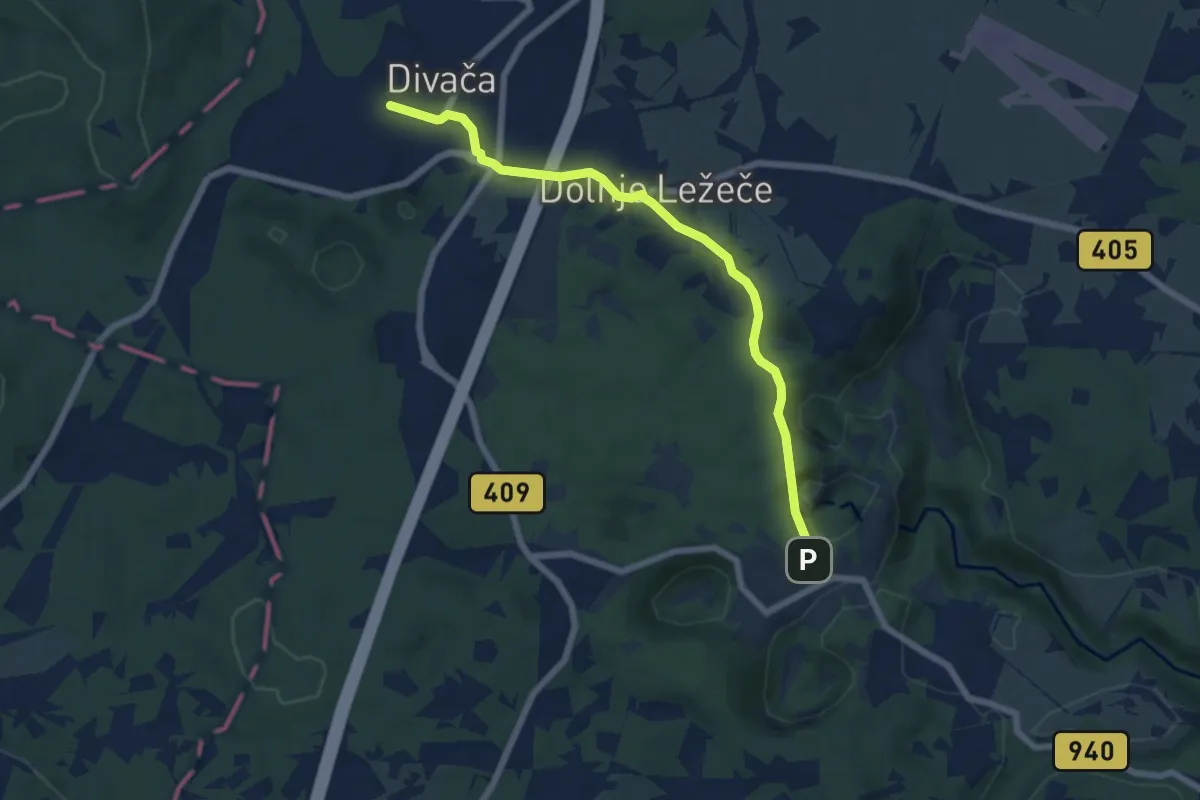
Easy · Trail
Divača - Škocjanske jame
6.6 km · ↑ 140 m · 1 h 51 min
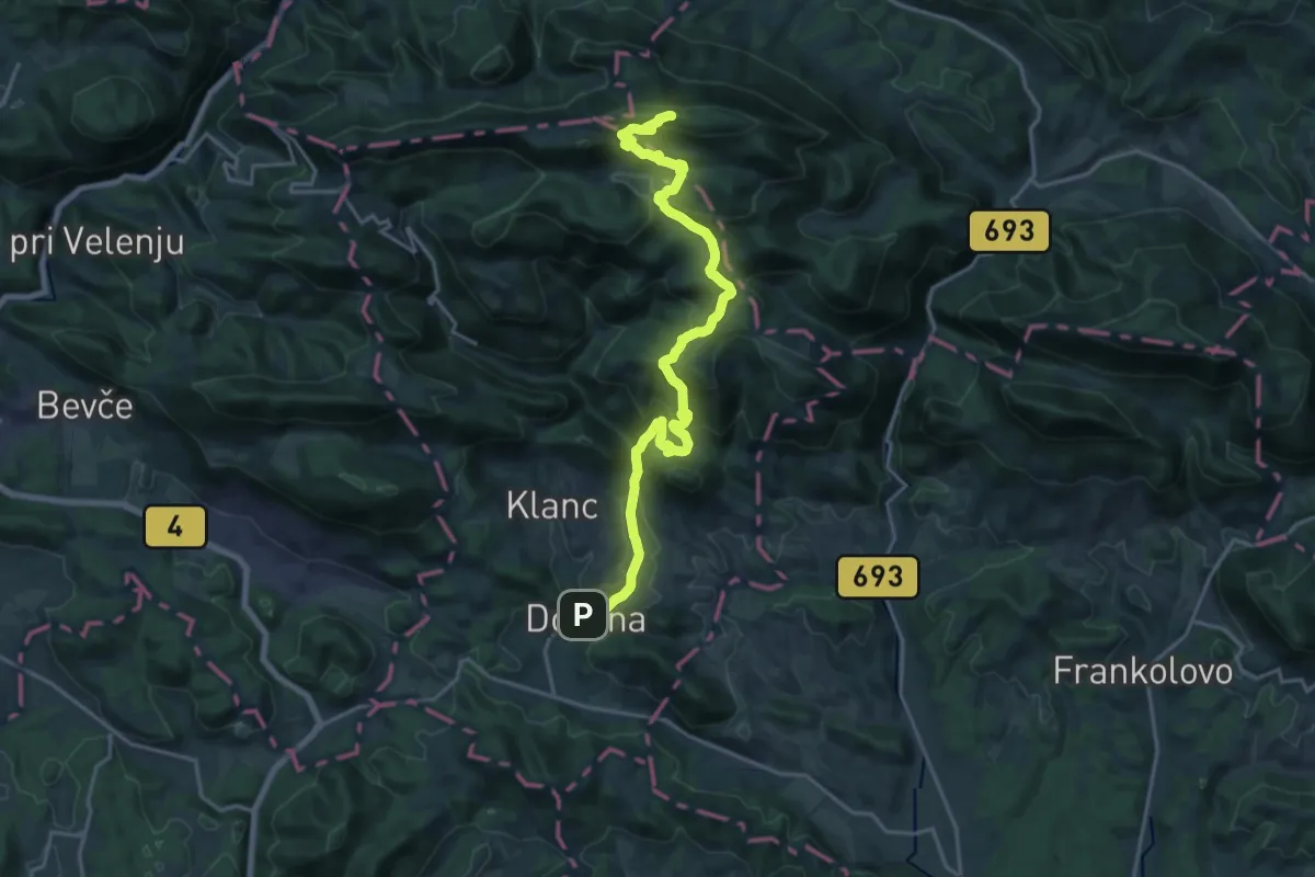
Demanding · Summit
Dobrna - Brdce - Basališče
21.2 km · ↑ 973 m · 7 h 7 min
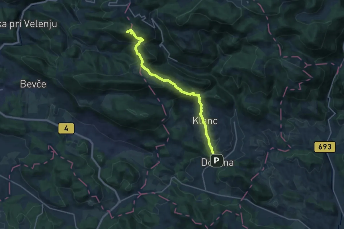
Medium · Summit
Dobrna - Paški Kozjak
12.9 km · ↑ 707 m · 4 h 35 min
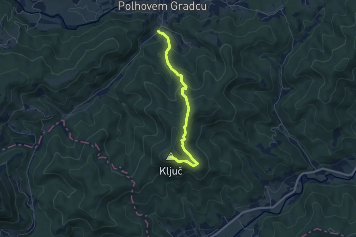
Medium · Summit
Dolenja vas - Ključ
5.4 km · ↑ 320 m · 1 h 58 min
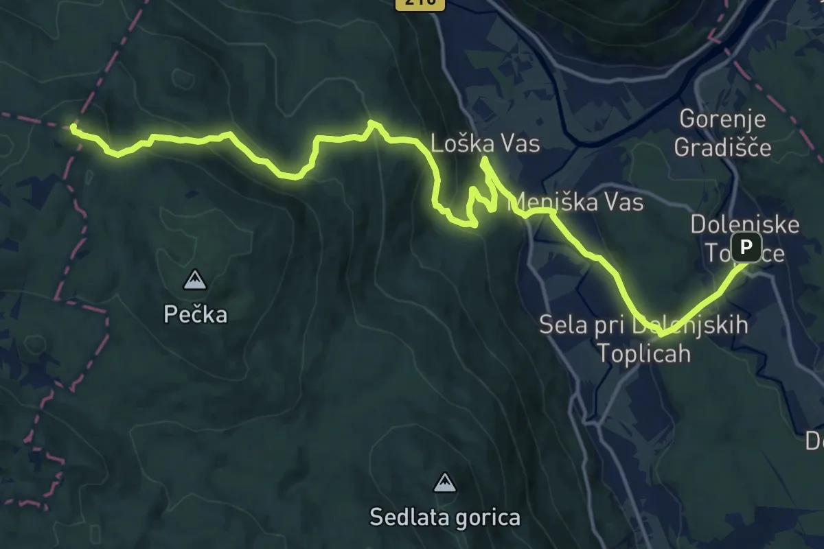
Demanding · Summit
Dolenjske Toplice - Sv. Peter
19.8 km · ↑ 807 m · 6 h 25 min
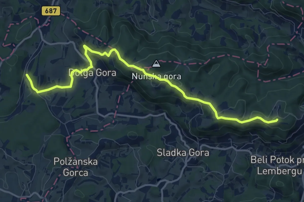
Medium · Summit
Dolga Gora - Pečica
10.8 km · ↑ 370 m · 3 h 21 min