Trails in Slovenia
1,594 hiking trails, each with its route, climb, walking time and grade.
All trails, page 33 of 34
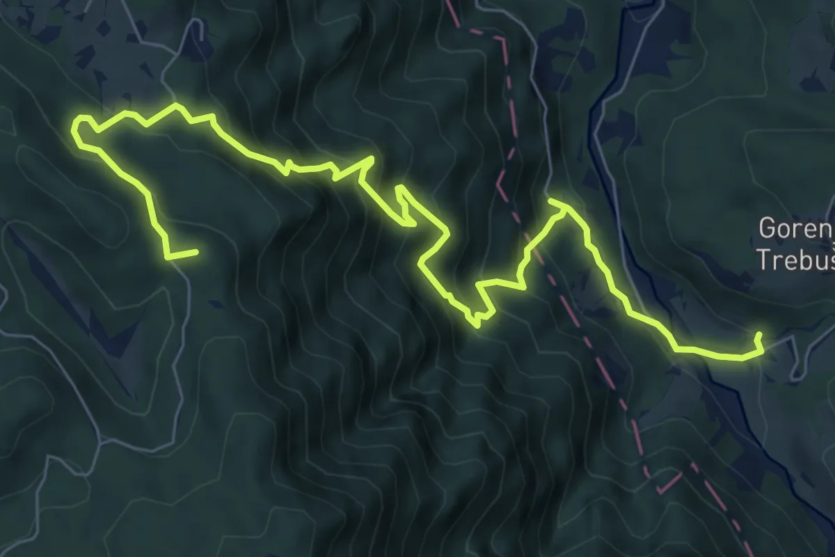
Demanding · Summit
138 ~ Pot kurirjev in vezistov NOV Slovenije
9.6 km · ↑ 822 m · 4 h 3 min
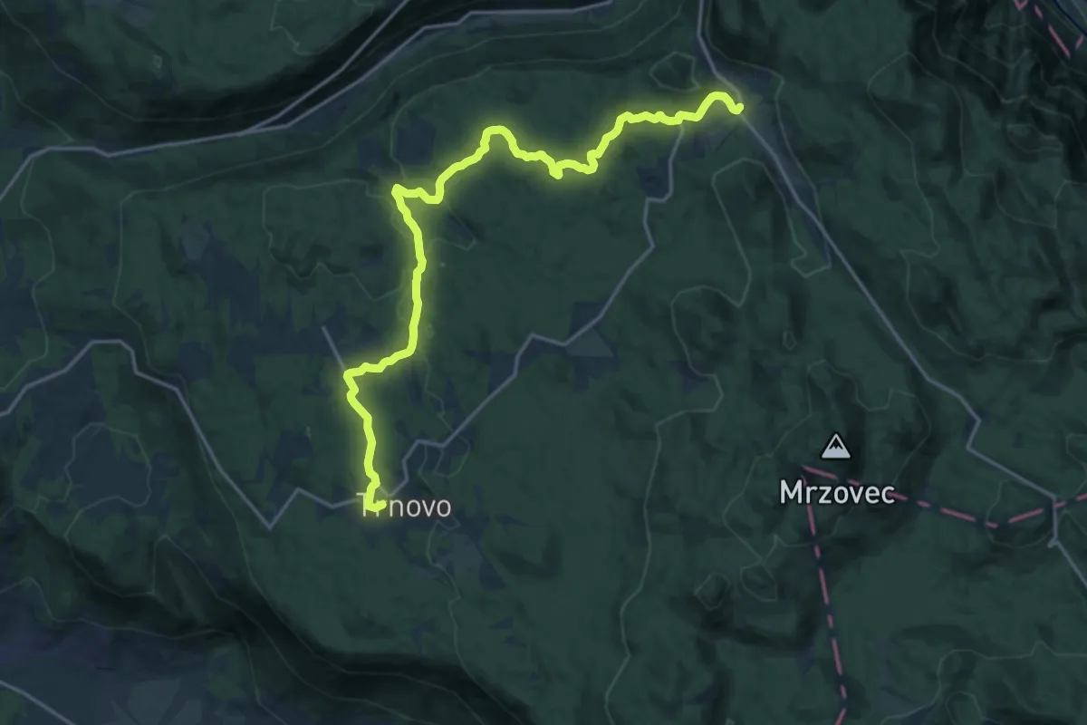
Demanding · Trail
139 ~ Pot kurirjev in vezistov NOV Slovenije
20.0 km · ↑ 345 m · 5 h 28 min
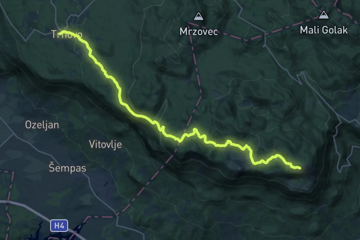
Demanding · Cabin
140 ~ Pot kurirjev in vezistov NOV Slovenije
26.2 km · ↑ 749 m · 7 h 49 min
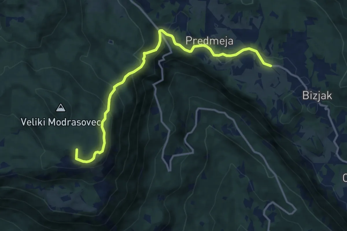
Medium · Summit
141 ~ Pot kurirjev in vezistov NOV Slovenije
10.1 km · ↑ 495 m · 3 h 28 min
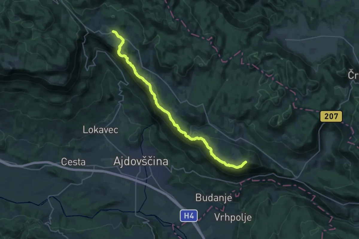
Demanding · Summit
142 ~ Pot kurirjev in vezistov NOV Slovenije
21.7 km · ↑ 908 m · 7 h 6 min
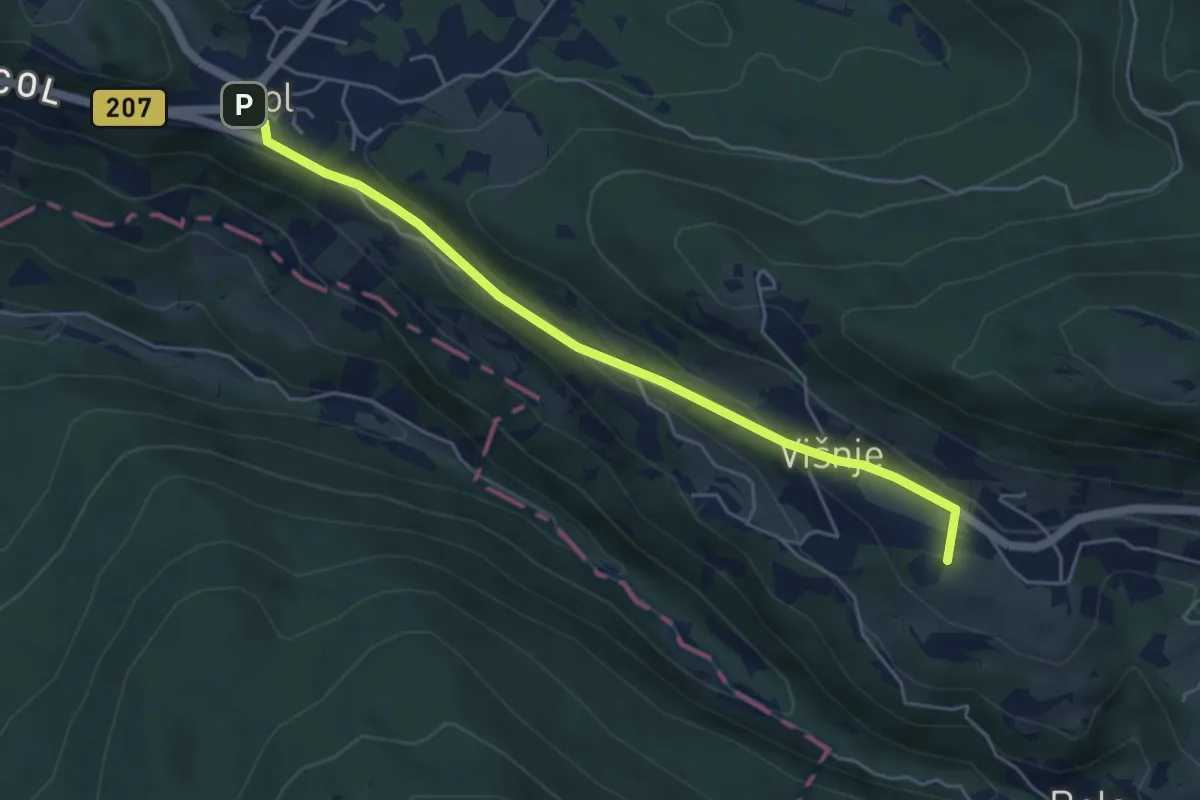
Easy · Summit
143 ~ Pot kurirjev in vezistov NOV Slovenije
5.1 km · ↑ 167 m · 1 h 34 min
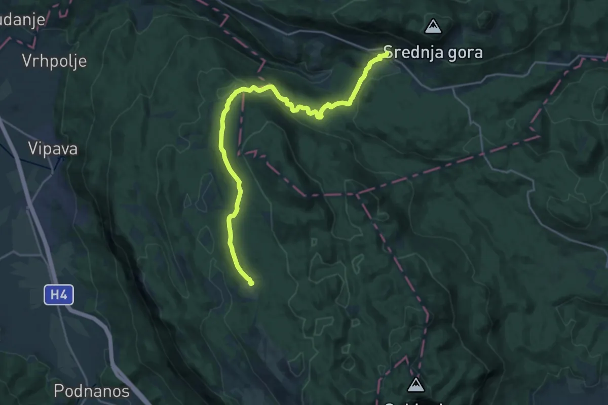
Demanding · Cabin
144 ~ Pot kurirjev in vezistov NOV Slovenije
19.8 km · ↑ 415 m · 5 h 34 min
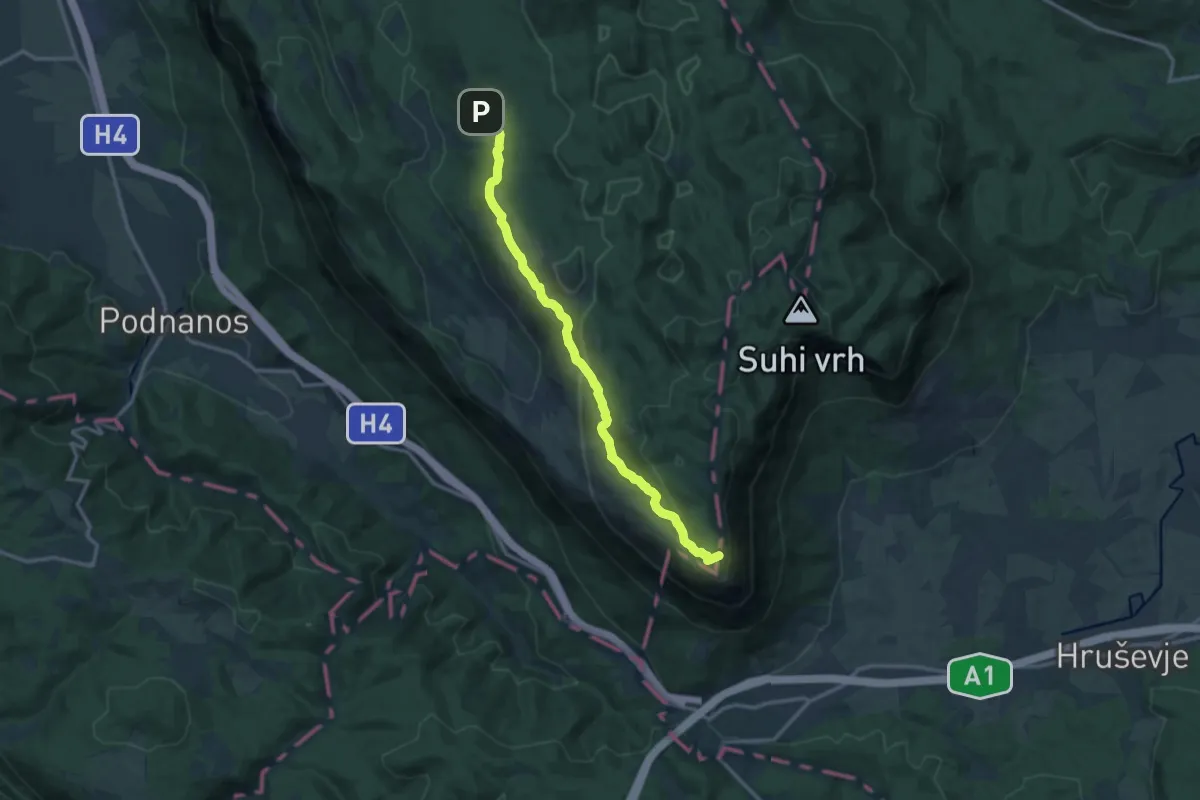
Medium · Summit
145 ~ Pot kurirjev in vezistov NOV Slovenije
13.7 km · ↑ 485 m · 4 h 18 min
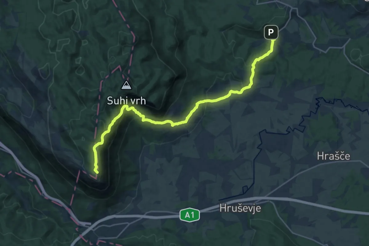
Demanding · Summit
146 ~ Pot kurirjev in vezistov NOV Slovenije
20.7 km · ↑ 988 m · 7 h 1 min
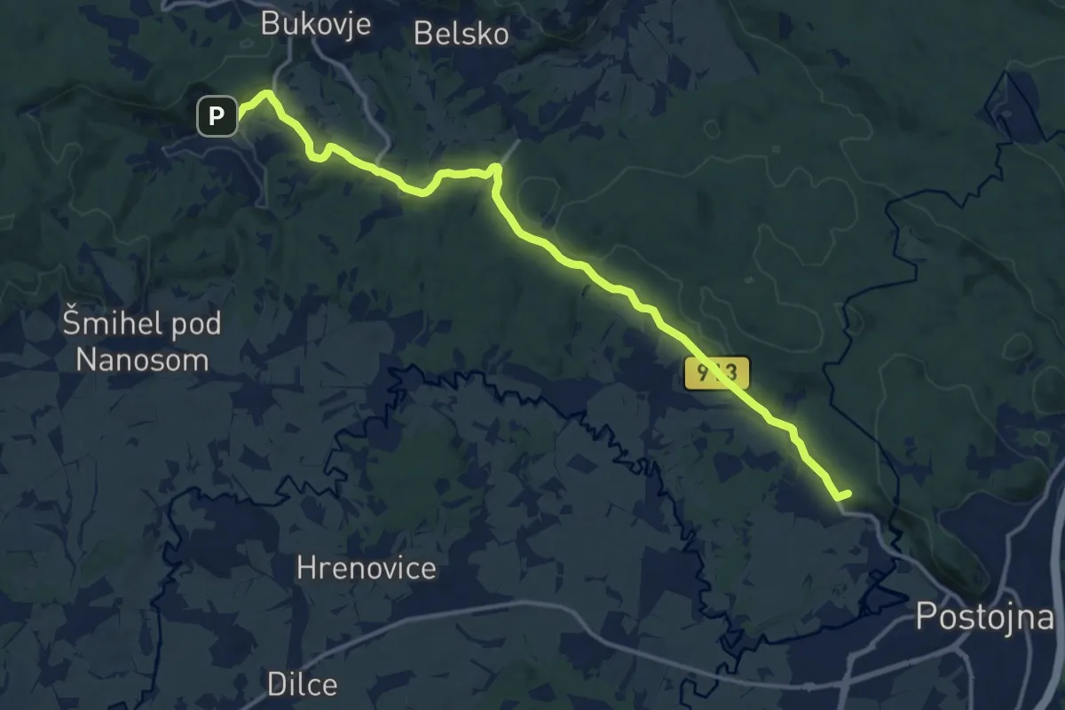
Medium · Summit
147 ~ Pot kurirjev in vezistov NOV Slovenije
15.2 km · ↑ 336 m · 4 h 19 min
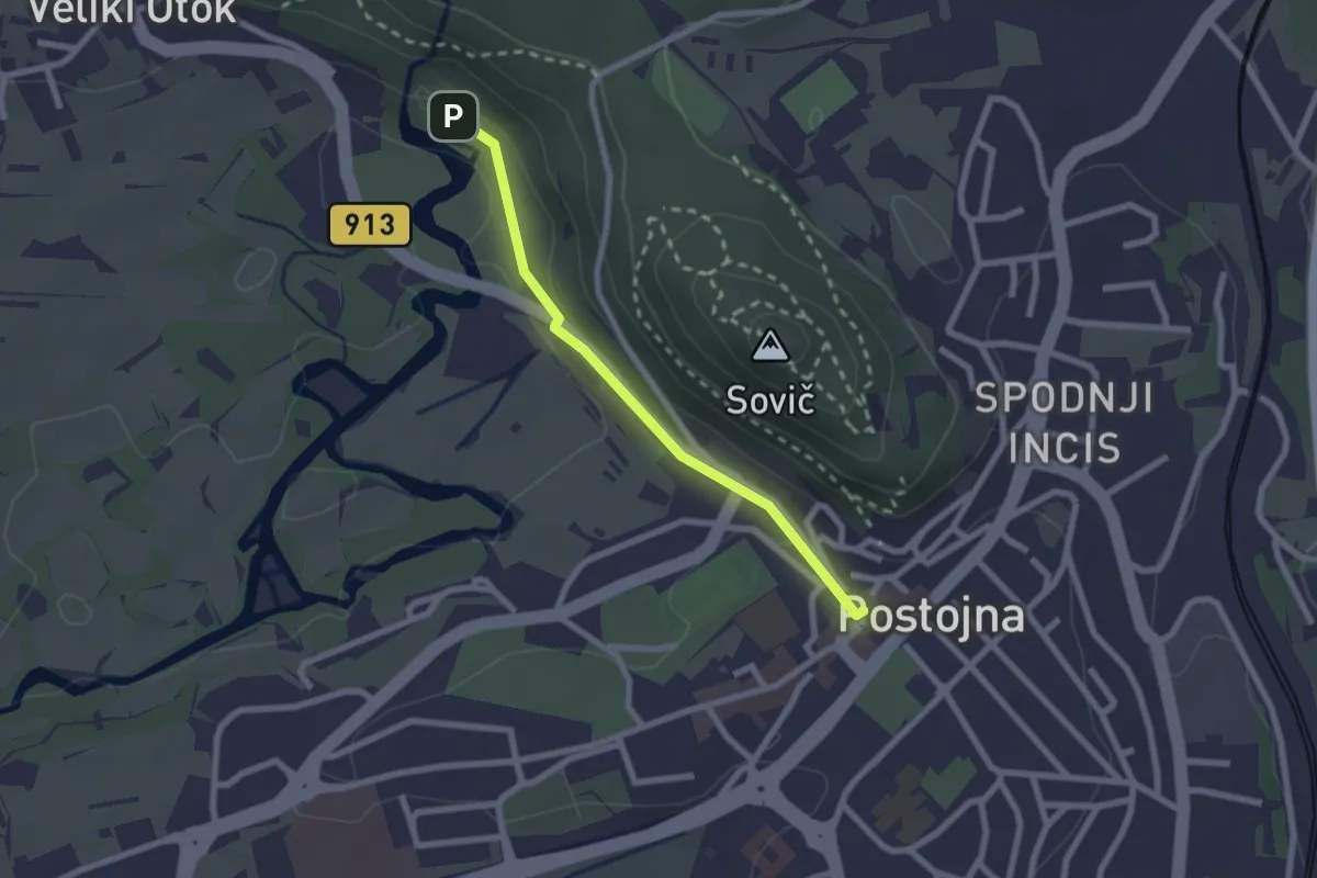
Easy · Trail
148 ~ Pot kurirjev in vezistov NOV Slovenije
2.1 km · ↑ 42 m · 35 min
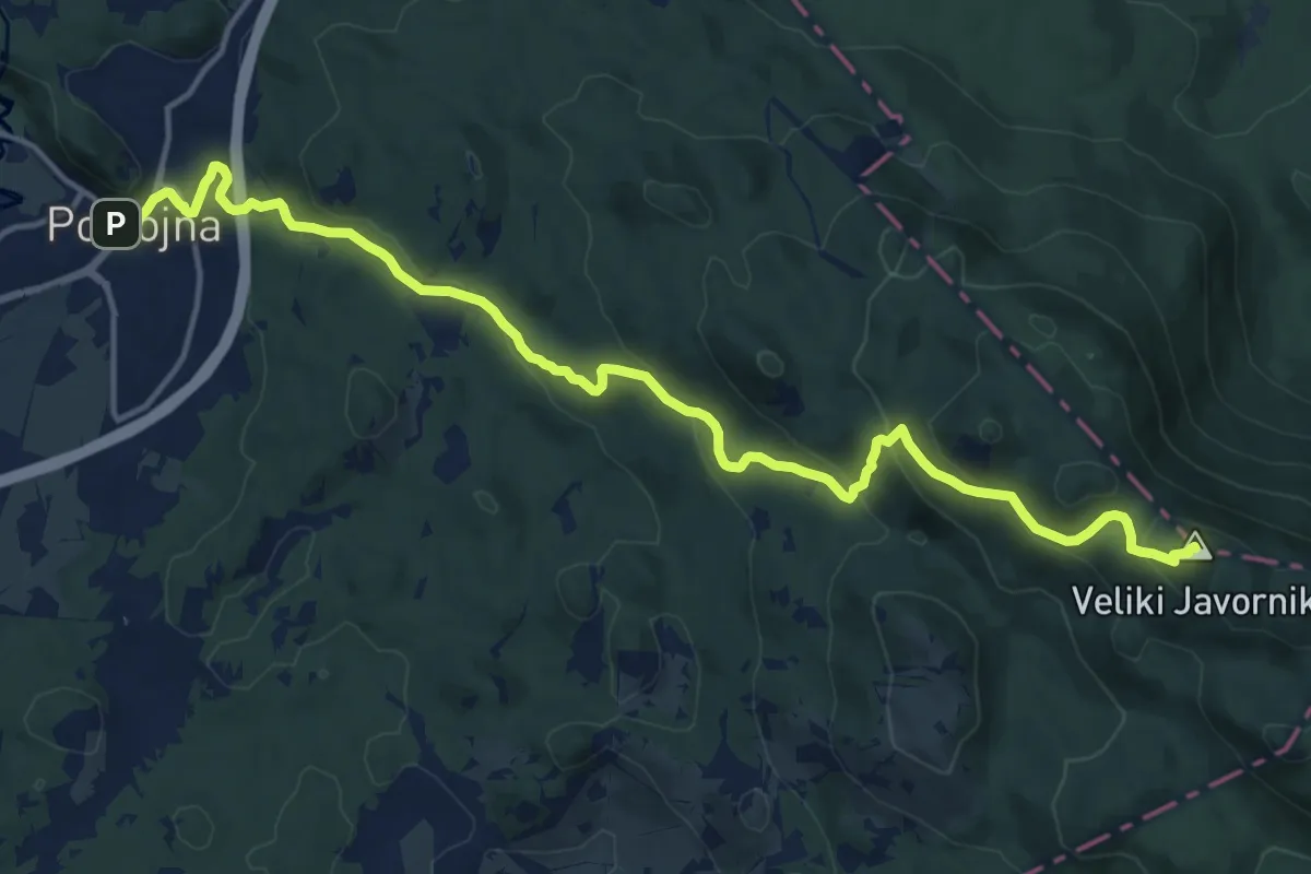
Medium · Summit
149 ~ Pot kurirjev in vezistov NOV Slovenije
17.6 km · ↑ 700 m · 5 h 40 min
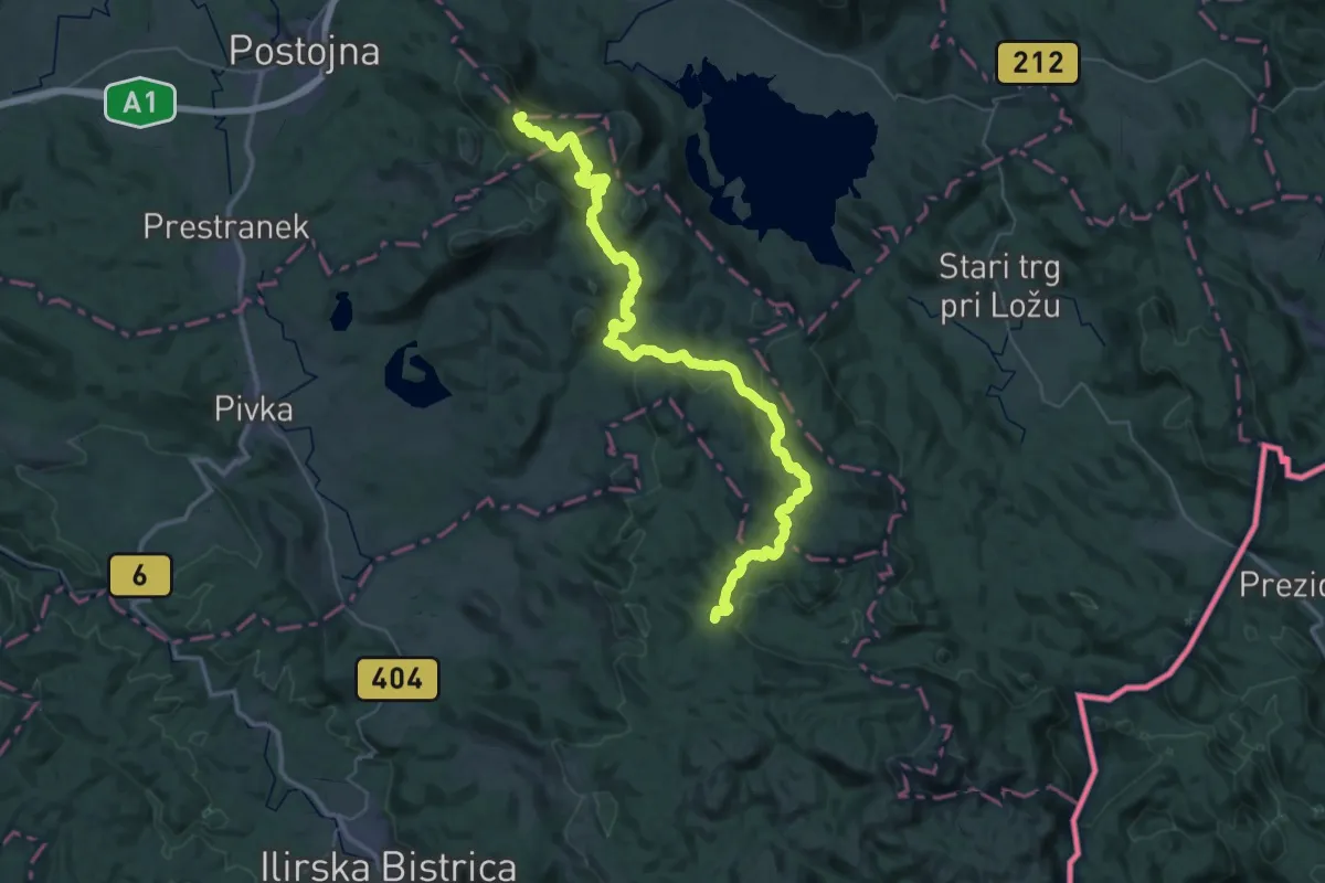
Demanding · Summit
150 ~ Pot kurirjev in vezistov NOV Slovenije
53.2 km · ↑ 1236 m · 15 h 14 min
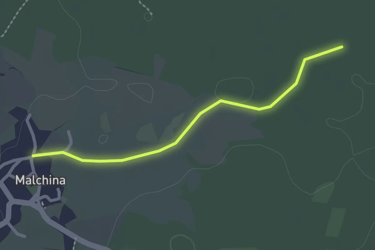
Easy · Trail
Malchina Mavhinje (quota 181 m) – Bivio sentiero n. 003 (quota 182 m)
2.1 km · ↑ 0 m · 29 min
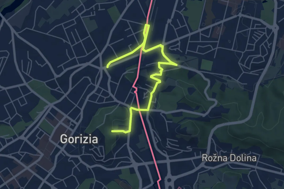
Easy · Trail
P.za Transalpina (quota 92 m) – Evropski Trg (SLO) P.za Transalpina (quota 92 m)
6.2 km · ↑ 105 m · 1 h 41 min
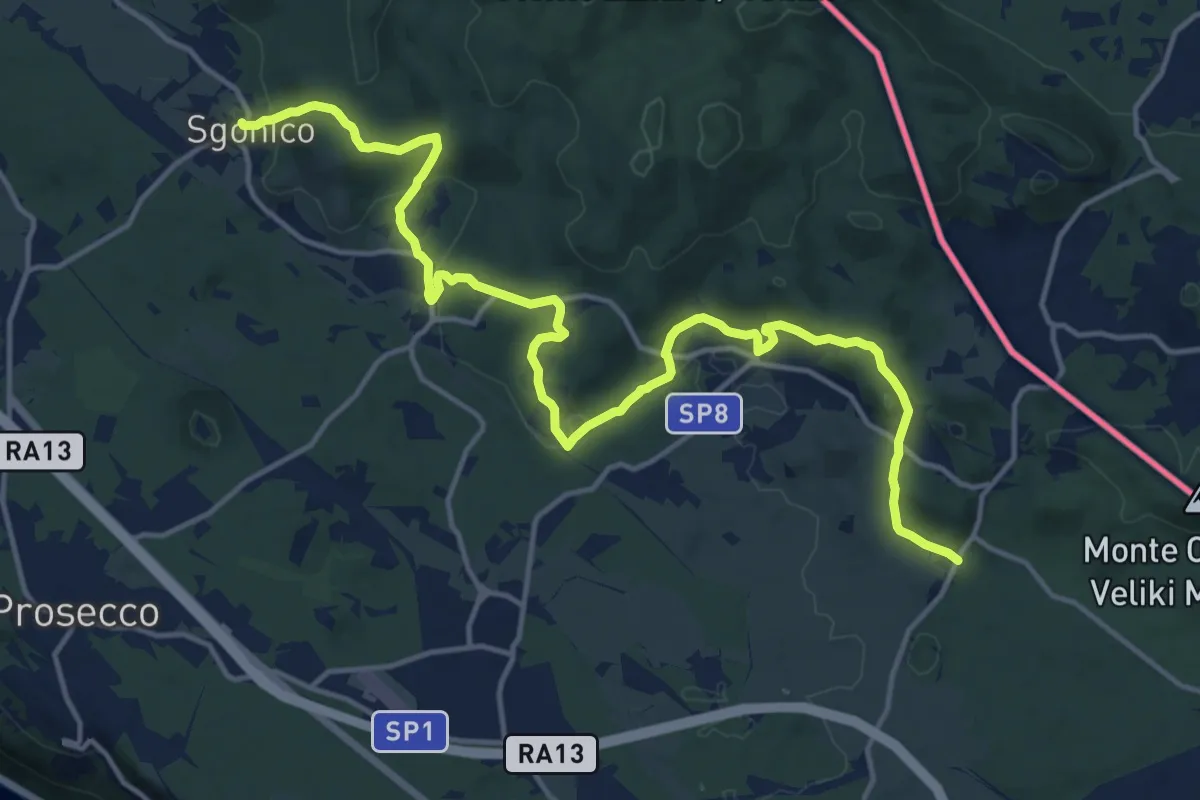
Demanding · Trail
Sgonico (quota 276 m) – Col bivio SP 9 (quota 328 m)
18.5 km · ↑ 446 m · 5 h 20 min
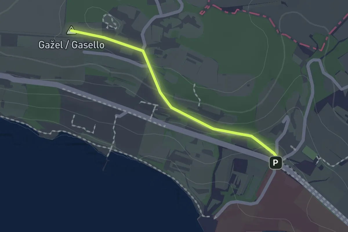
Easy · Summit
Debeli Rtič – Valdoltra
1.5 km · ↑ 43 m · 27 min
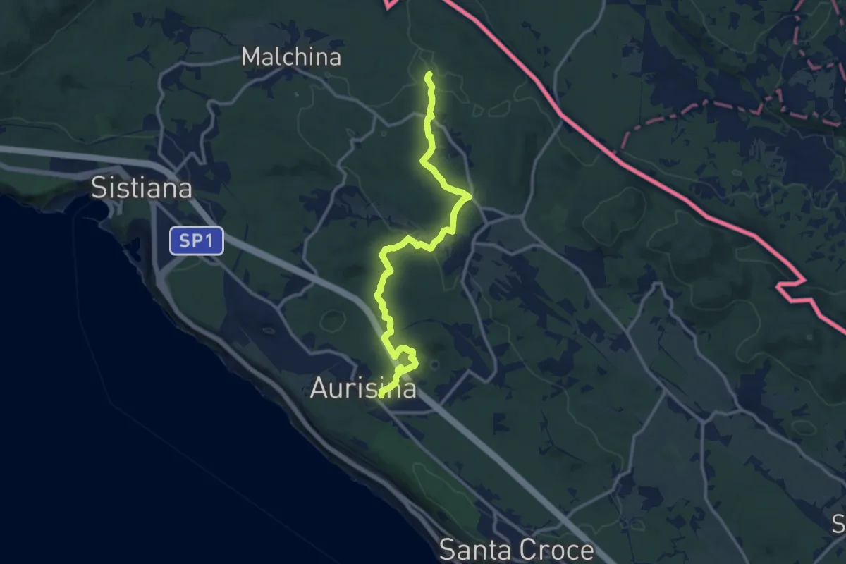
Medium · Trail
Aurisina (quota 150 m) – Bivio sentiero n. 003 (quota 198 m)
11.9 km · ↑ 192 m · 3 h 13 min
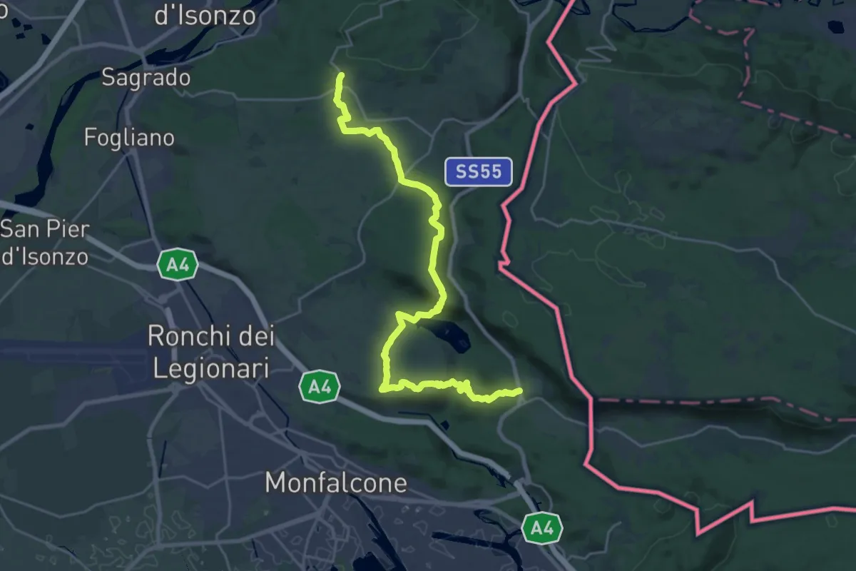
Demanding · Trail
San Martino del Carso (quota 168 m) – Jamiano (quota 45 m)
25.3 km · ↑ 631 m · 7 h 20 min
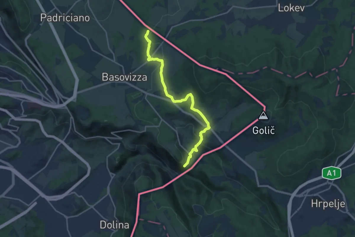
Medium · Trail
Pese inizio sentiero n. 003 (quota 490 m) – Monte Stena – Bivio sentiero n. 001 (quota 354 m)
13.0 km · ↑ 359 m · 3 h 51 min
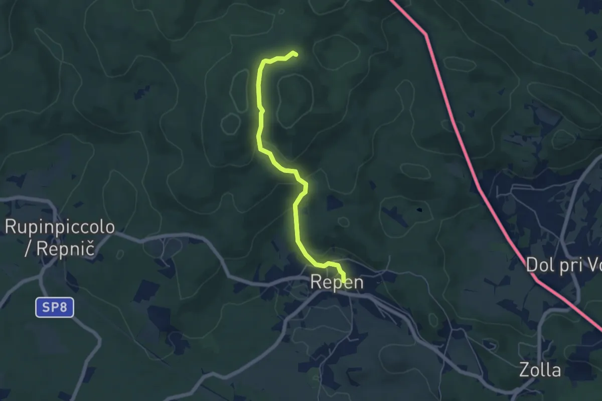
Easy · Trail
Repen, zona Mouzar (quota 325 m) – Bivio sentiero n. 024, pendici del Piccolo Lanaro (quota 473 m)
4.9 km · ↑ 178 m · 1 h 33 min
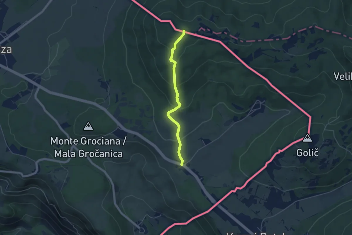
Medium · Summit
Pesek – Bivio sentiero n. 3
4.2 km · ↑ 194 m · 1 h 24 min
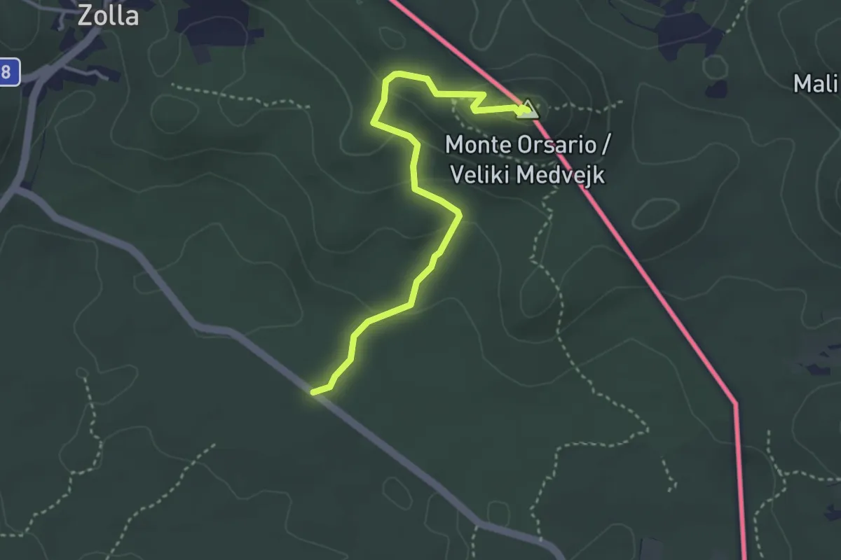
Easy · Summit
SP9 – Monte Orsario / Medvedjak
3.5 km · ↑ 122 m · 1 h 6 min
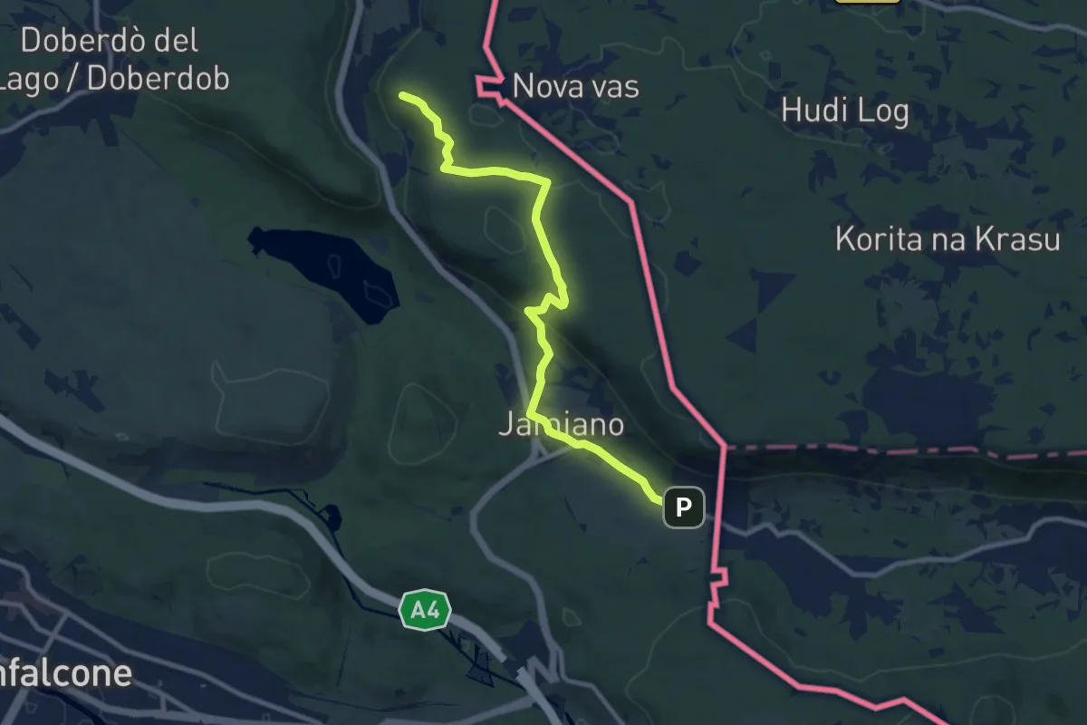
Medium · Trail
S.R. n. 55 del Vallone (quota 50 m) – Comarie bivio sent 079(quota 37 m)
9.8 km · ↑ 226 m · 2 h 49 min
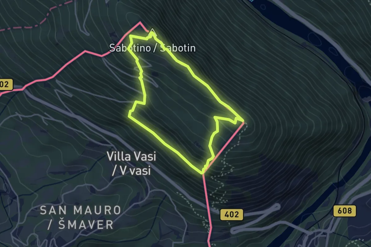
Easy · Summit
San Mauro (quota 50 m) – San Mauro (quota 50 m)
3.2 km · ↑ 244 m · 1 h 20 min
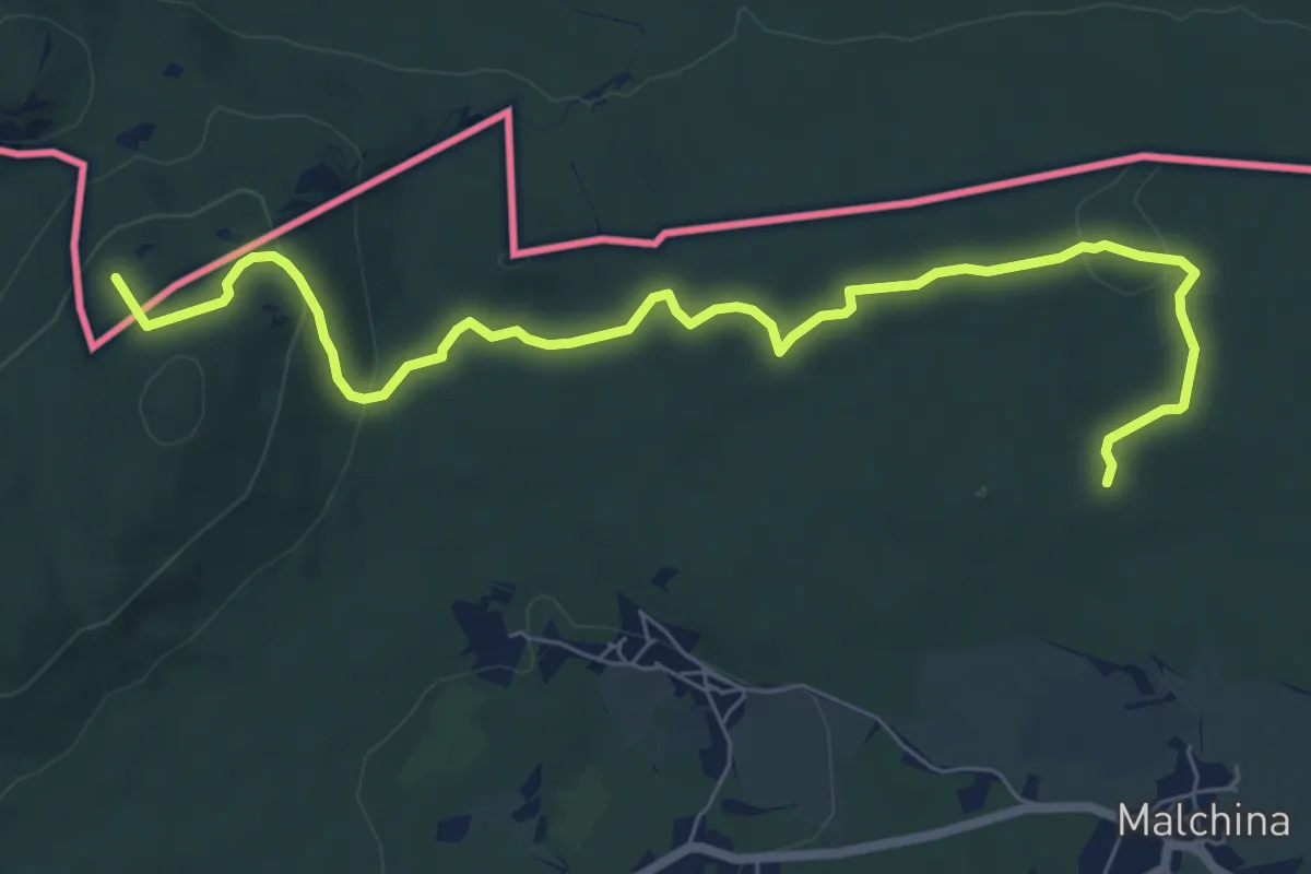
Medium · Summit
Centro visite Gradina – Malchina
8.3 km · ↑ 164 m · 2 h 19 min
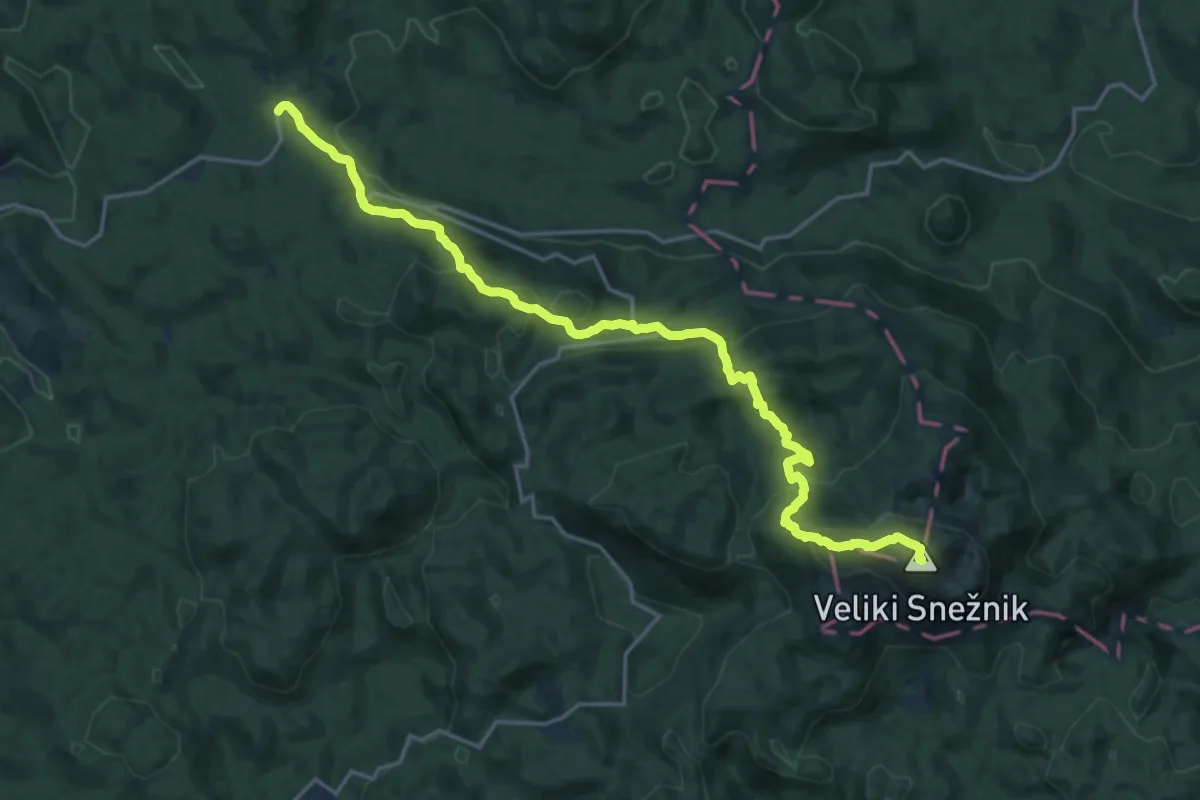
Demanding · Summit
Mašun – Veliki Snežnik
20.4 km · ↑ 1131 m · 7 h 16 min
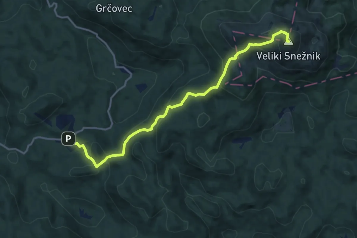
Medium · Summit
Veliki Snežnik – Planinski dom na Sviščakih
10.5 km · ↑ 548 m · 3 h 41 min
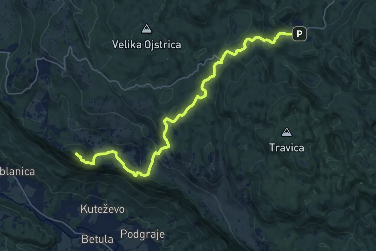
Demanding · Summit
Planinski dom na Sviščakih – Planinska koča na Kozleku
20.7 km · ↑ 730 m · 6 h 29 min
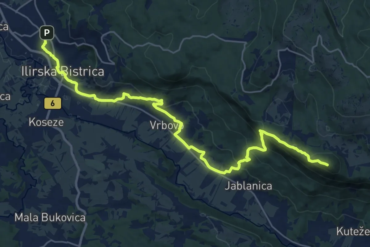
Demanding · Summit
Planinska koča na Kozleku – Ilirska Bistrica
21.8 km · ↑ 920 m · 7 h 9 min
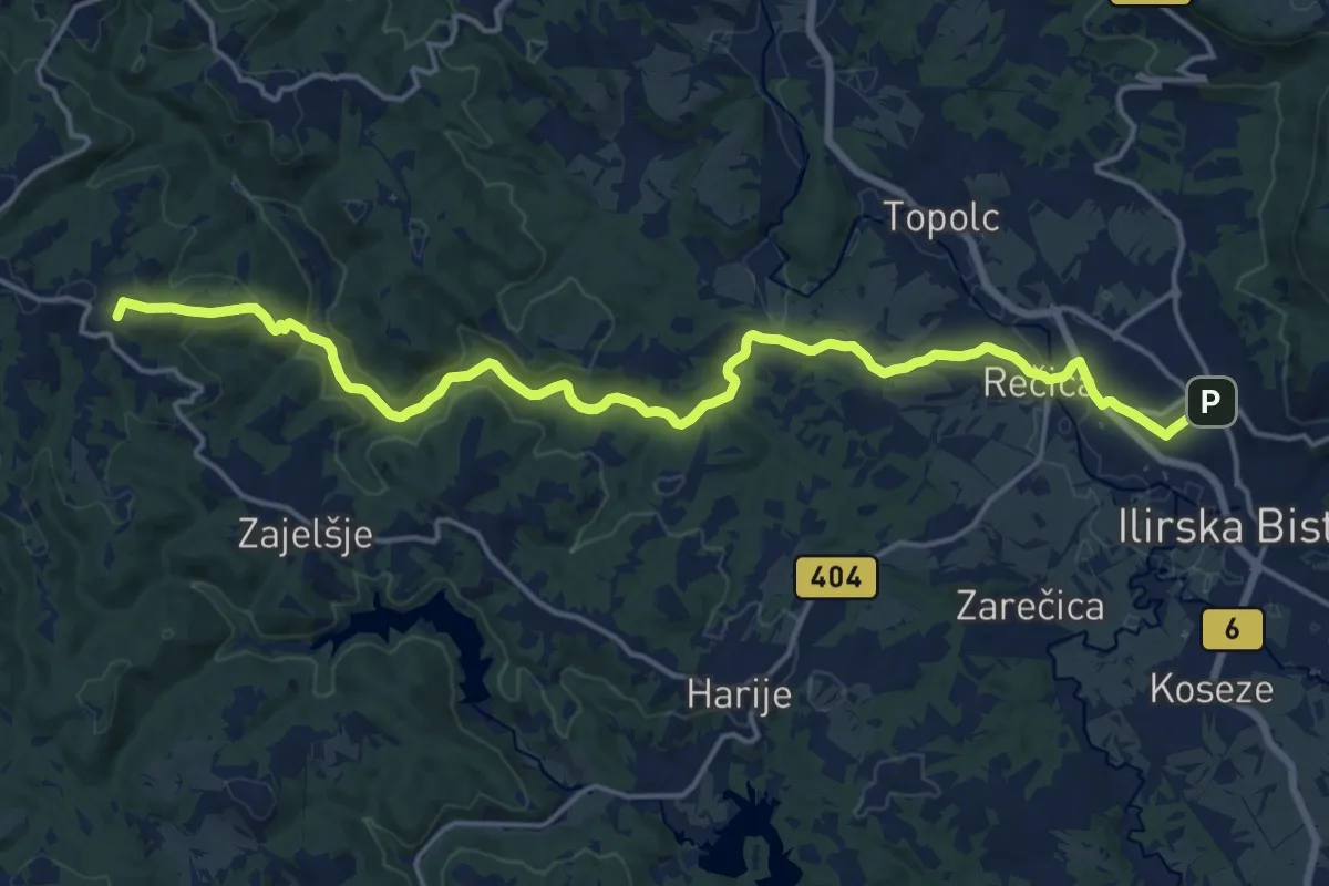
Demanding · Summit
Ilirska Bistrica – Pregarje
19.6 km · ↑ 422 m · 5 h 32 min
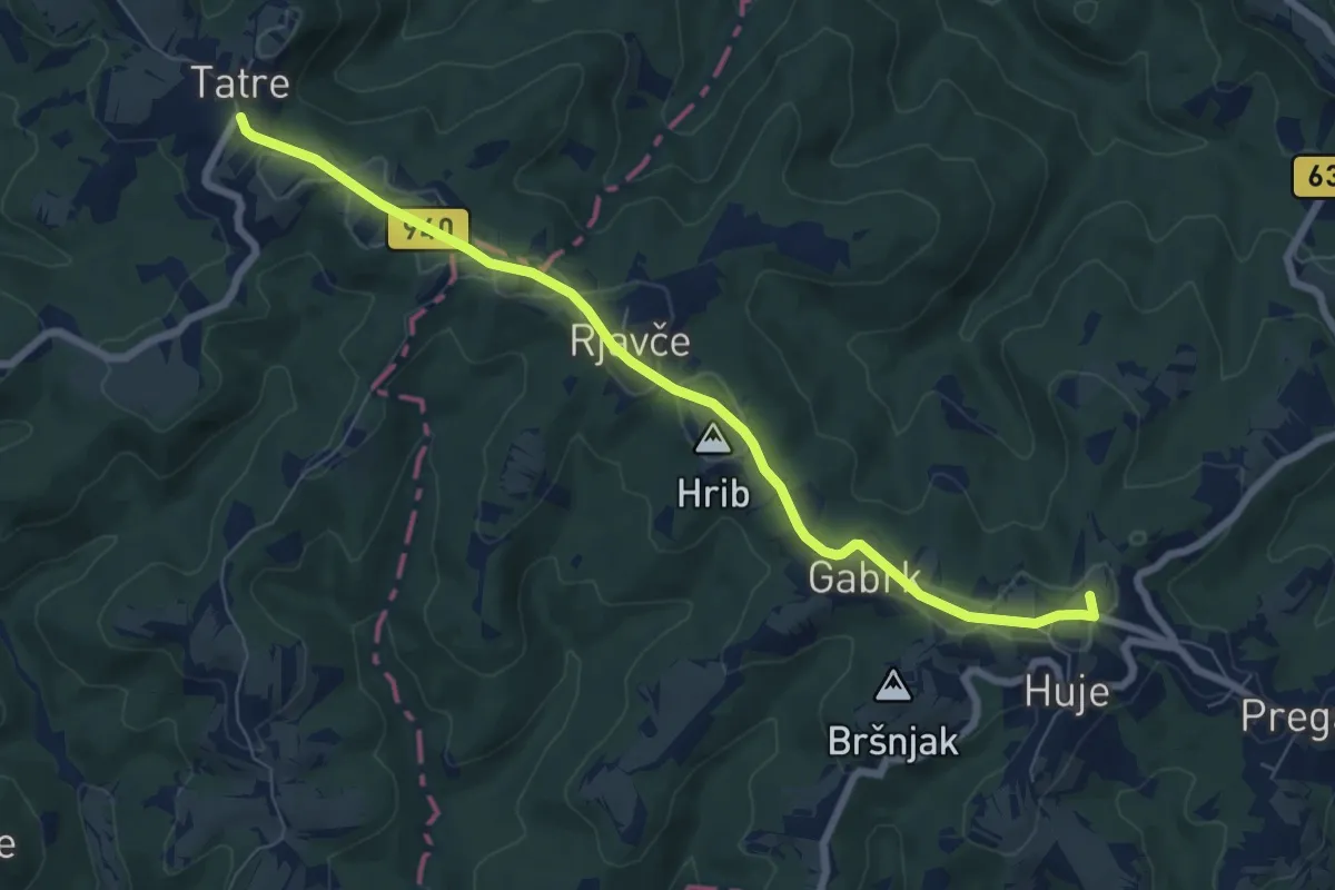
Easy · Summit
Pregarje – Tatre
7.6 km · ↑ 97 m · 2 h
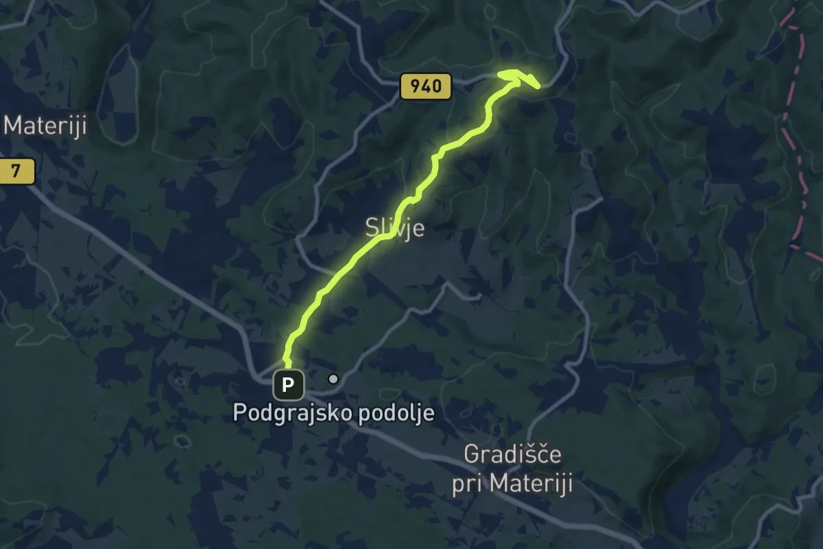
Medium · Summit
Tatre – Markovščina
8.9 km · ↑ 234 m · 2 h 36 min
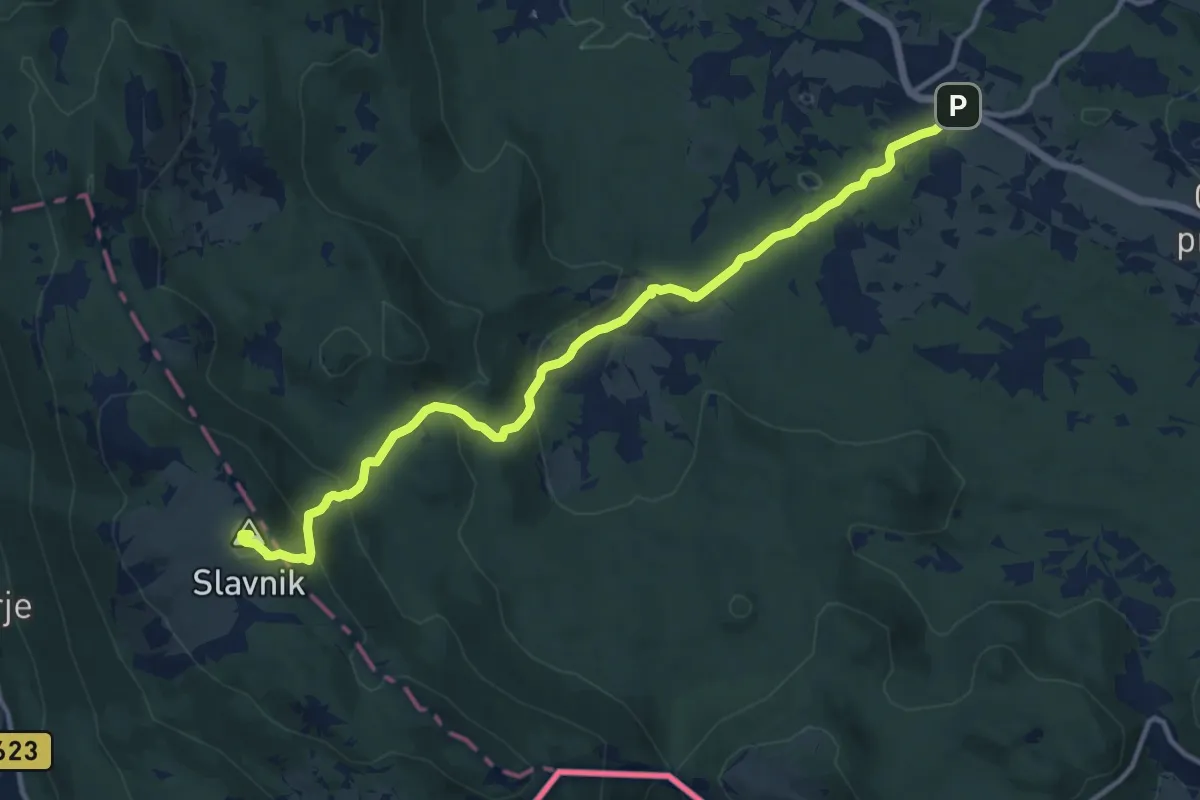
Medium · Summit
Markovščina – Tumova koča na Slavniku
13.2 km · ↑ 532 m · 4 h 16 min
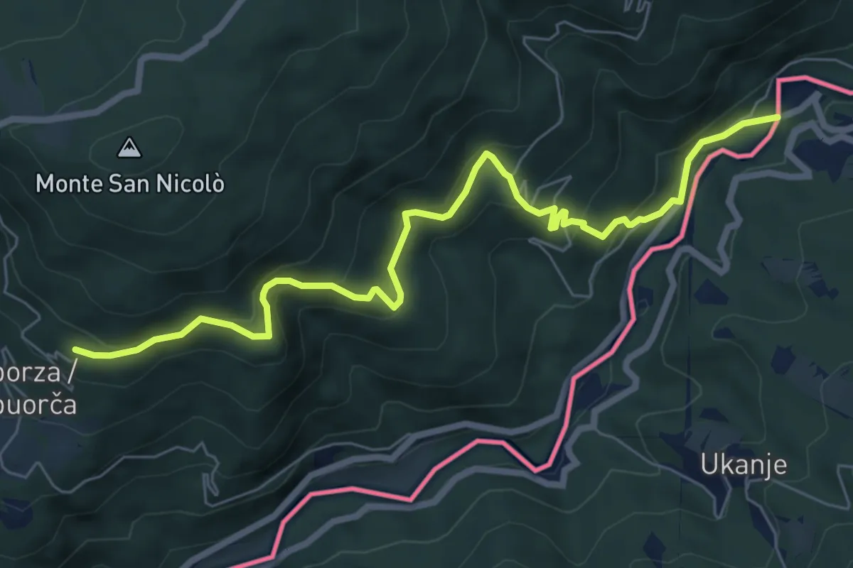
Medium · Trail
Castelmonte (quota 618 m) – Molino Vecchio (quota 216 m))
7.5 km · ↑ 527 m · 2 h 54 min
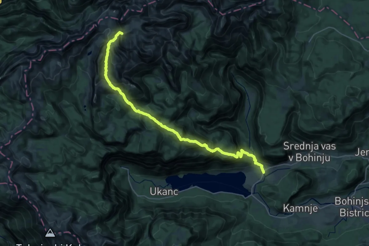
Demanding · Summit
Hst. Stara Fužina – Koča pri Triglavskih jezerih
27.8 km · ↑ 2350 m · 11 h 40 min
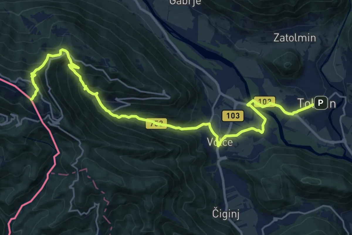
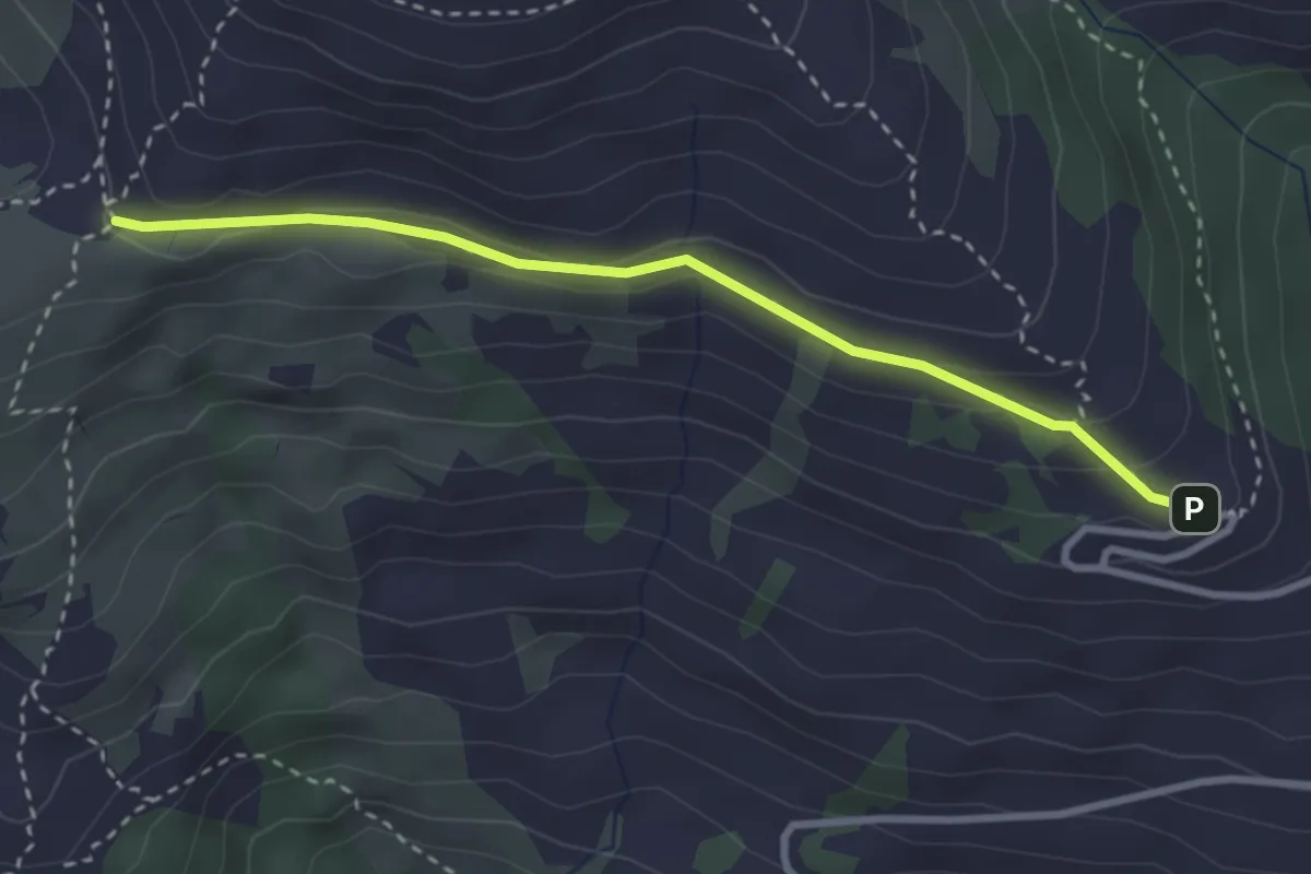
Demanding · Summit
Hst. Tolmin – Rif. Solarie
19.5 km · ↑ 1083 m · 6 h 58 min
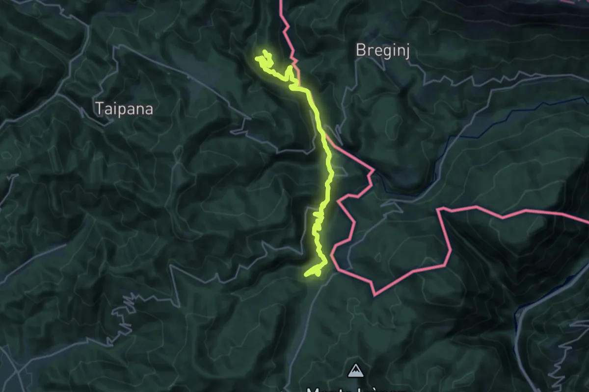
Medium · Trail
Hst. S. Pietro al Natisone – Rif. Alpino G. Pelizzo
3.0 km · ↑ 113 m · 57 min
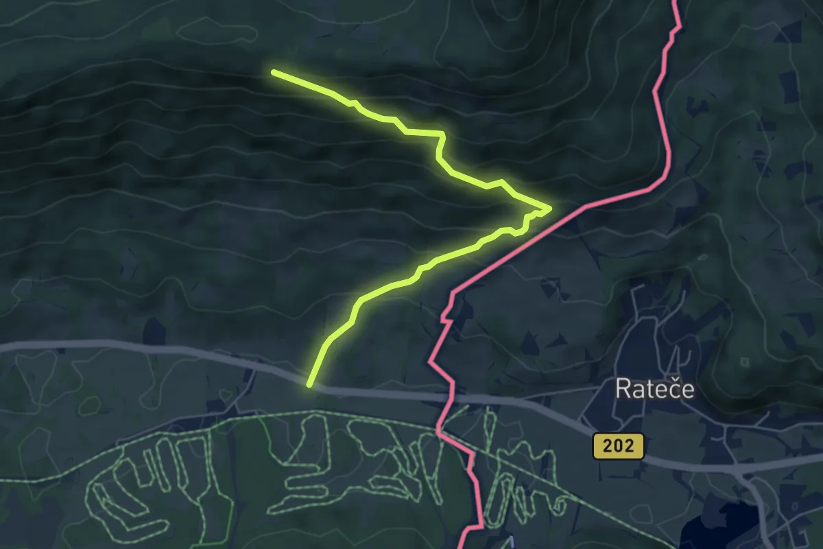
Demanding · Summit
Hst. Loch – Montegaggiore/Gh.
20.2 km · ↑ 992 m · 6 h 55 min
Medium · Trail
ex caserma G.di F. di Fusine Valromana – Monte Forno / tre confini – Dreilandereck – Tromeja (quota 1508 m)
6.0 km · ↑ 487 m · 2 h 29 min
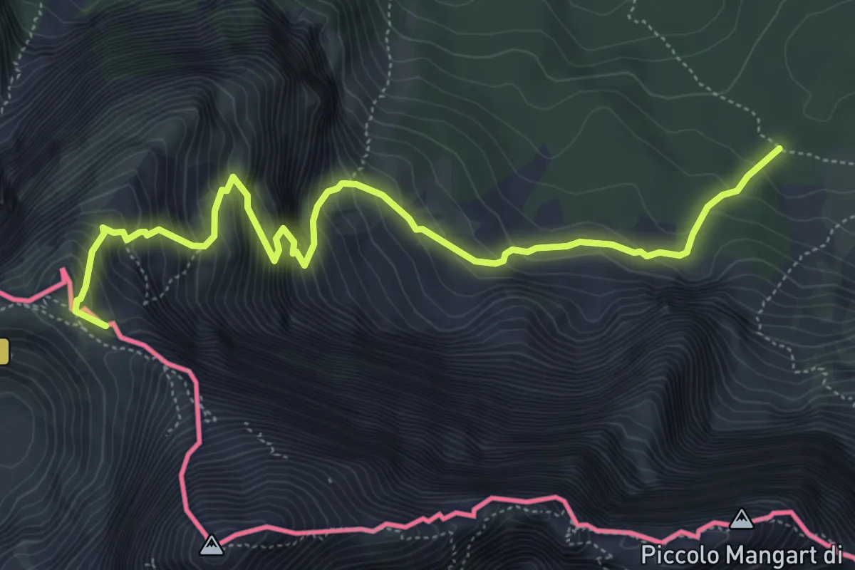
Demanding · Summit
Alpe Vecchia Bivio sentiero n. 513 (quota 1307 m) – Forcella Mangart (quota 2166 m)
6.5 km · ↑ 885 m · 3 h 27 min
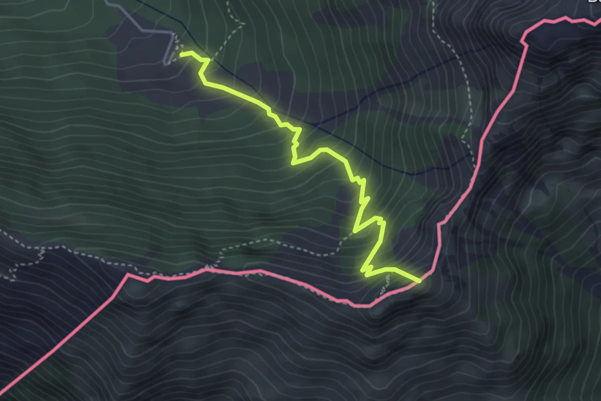
Medium · Summit
Casera Coot (quota 1190 m) – Monte Guarda (quota 1720 m)
3.8 km · ↑ 485 m · 1 h 57 min
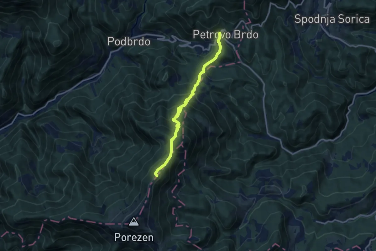
Medium · Summit
Petrovo Brdo – Dom Andreja Žvana - Borisa na Poreznu
9.2 km · ↑ 715 m · 3 h 43 min
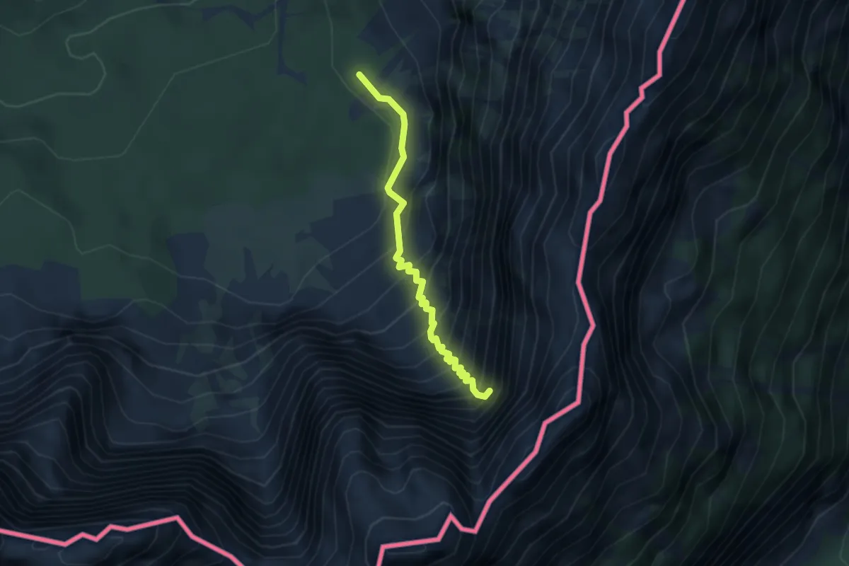
Demanding · Trail
Bivio sentiero n. 513 (quota 1355 m) – Attacco via ferrata “Kugy alla Strugova” (quota 1800 m)
3.1 km · ↑ 633 m · 2 h 7 min
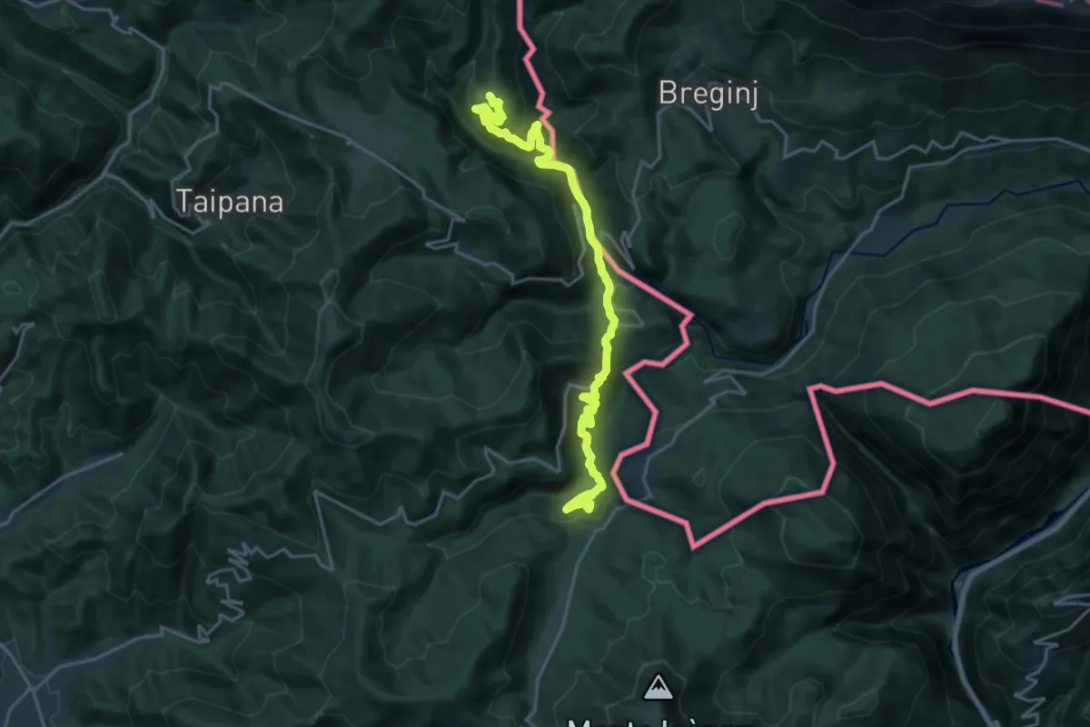
Demanding · Summit
Montemaggiore di Taipana (quota 795 m) / Brezje – Montefosca (quota 720 m) / Čàrni Vàrh
20.2 km · ↑ 966 m · 6 h 52 min
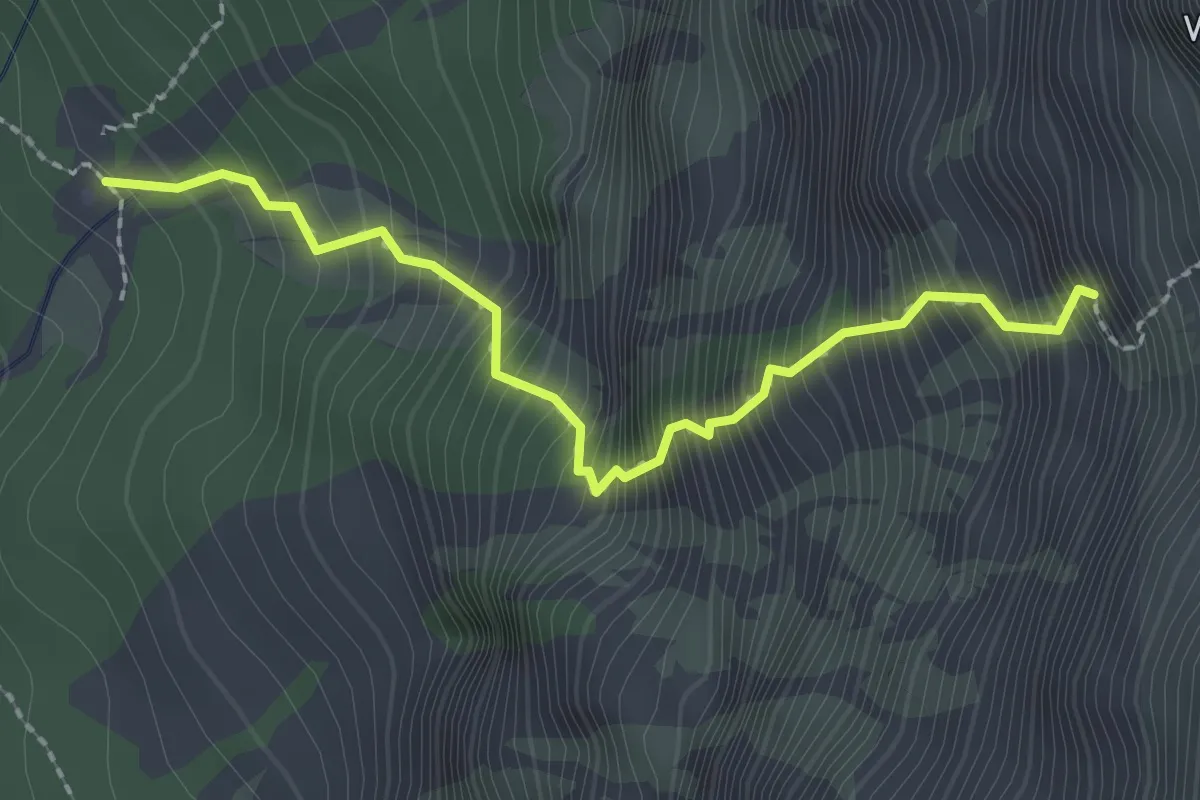
Demanding · Trail
Rifugio Zacchi bivio sentiero n. 513 (quota 1380 m) – Attacco via ferrata alla“Ponza Grande” (quota 2065 m)
2.3 km · ↑ 647 m · 1 h 56 min
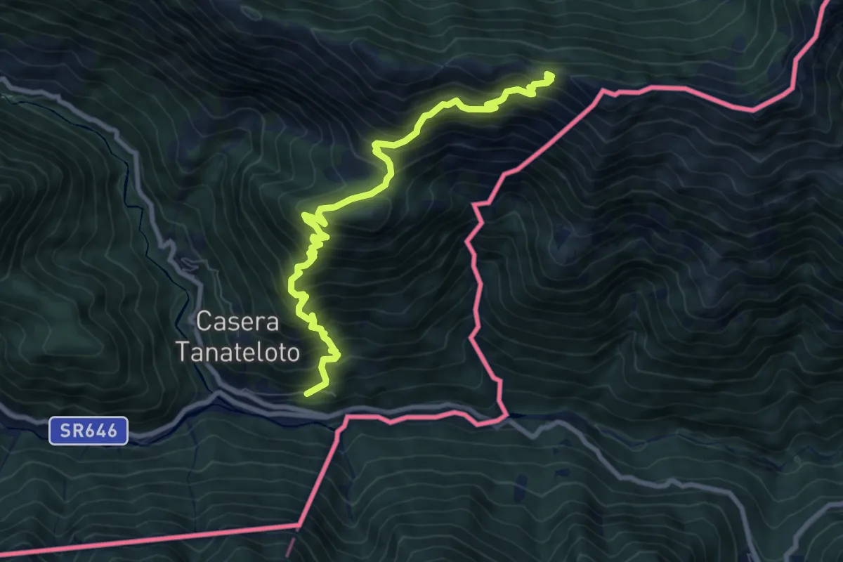
Demanding · Trail
Uccea (quota 630 m) – Monte Plagne (quota 1663 m)
8.5 km · ↑ 996 m · 4 h 10 min
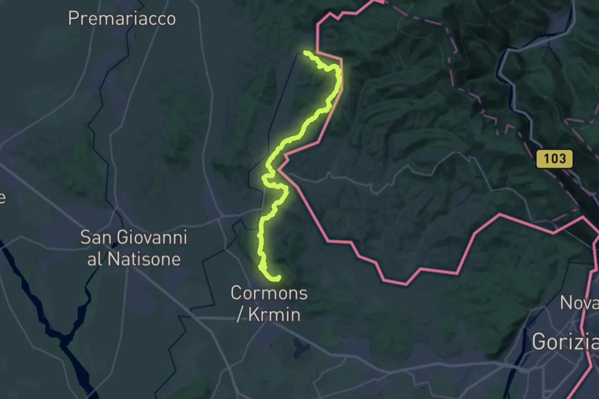
Demanding · Summit
Gradisca ponte sull'Isonzo (quota 32 m) – Mernicco (quota 180 m)
30.3 km · ↑ 1003 m · 9 h 20 min