Trails in Slovenia
1,594 hiking trails, each with its route, climb, walking time and grade.
All trails, page 5 of 34
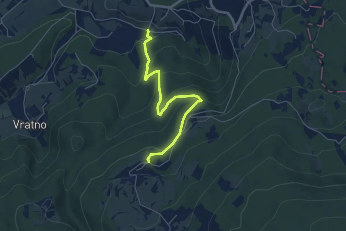
Easy · Trail
Drča - Javorovica
4.8 km · ↑ 278 m · 1 h 45 min
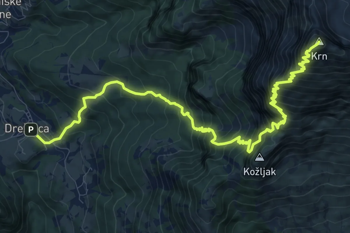
Demanding · Summit
Drežnica - Krn (južna)
14.9 km · ↑ 1858 m · 7 h 33 min
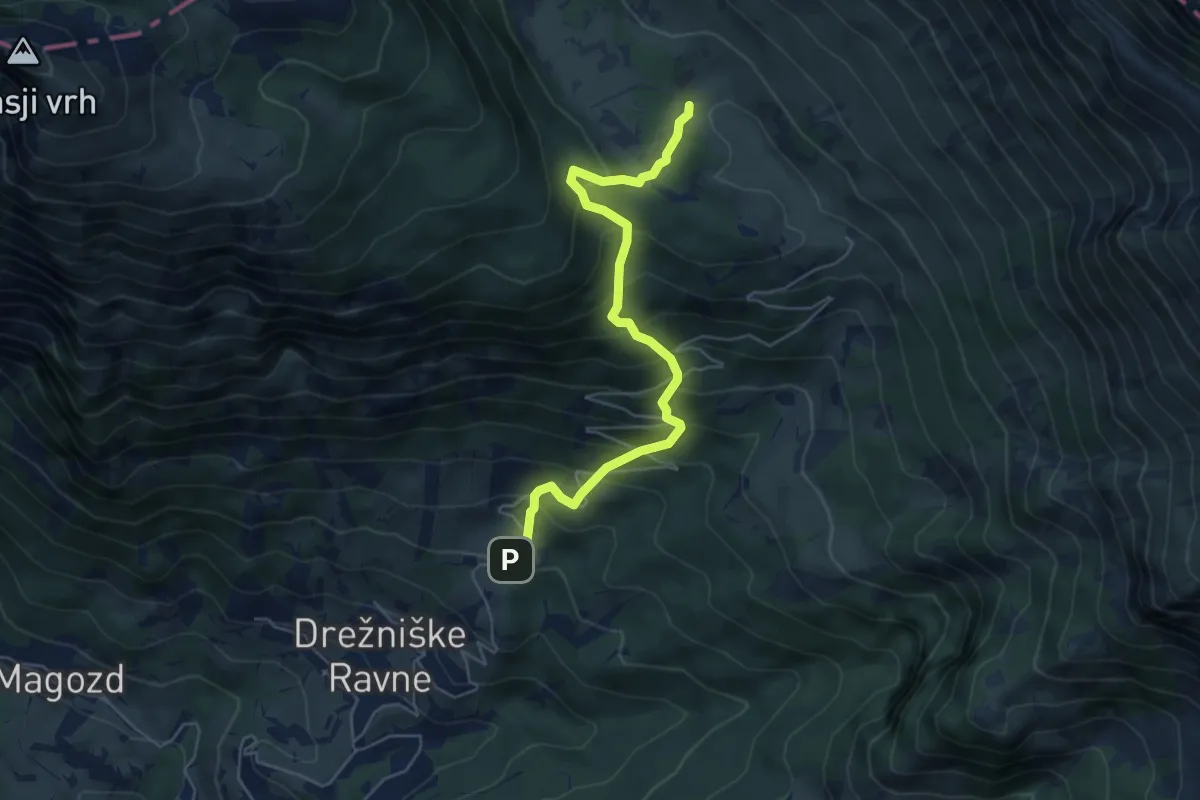
Medium · Trail
Drežniške Ravne - Pl. Zaprikaj
5.5 km · ↑ 585 m · 2 h 34 min
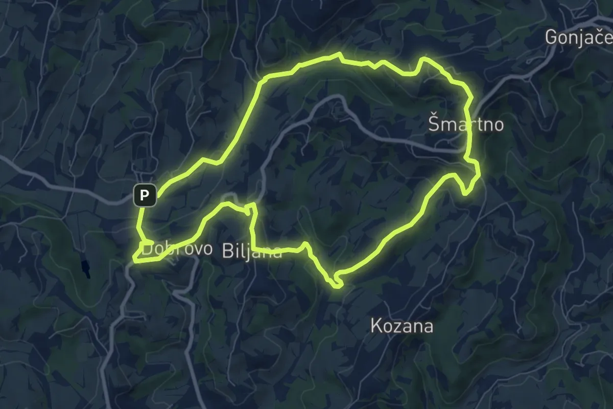
Medium · Trail
Drugmbernca
8.6 km · ↑ 290 m · 2 h 47 min
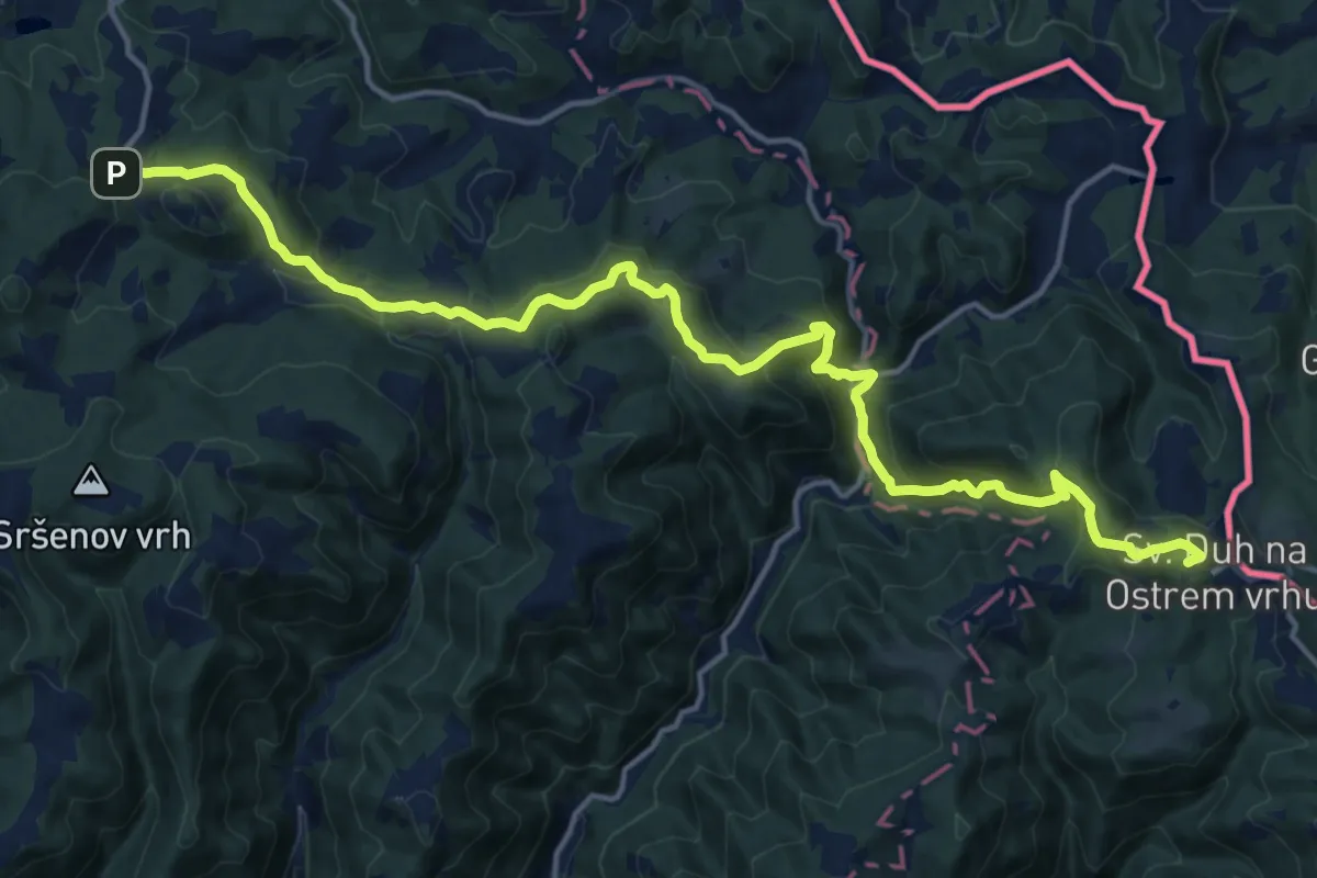
Demanding · Summit
Duh na Ostrem vrhu - Kapla
19.1 km · ↑ 1094 m · 6 h 53 min
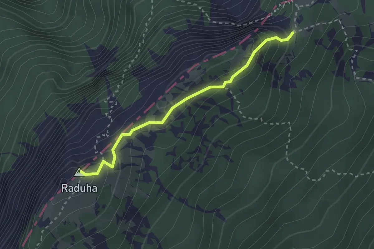
Easy · Summit
Durce - Raduha
2.3 km · ↑ 242 m · 1 h 5 min
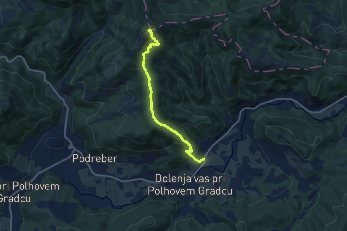
Demanding · Summit
Dvor - Grmada
6.7 km · ↑ 612 m · 2 h 54 min
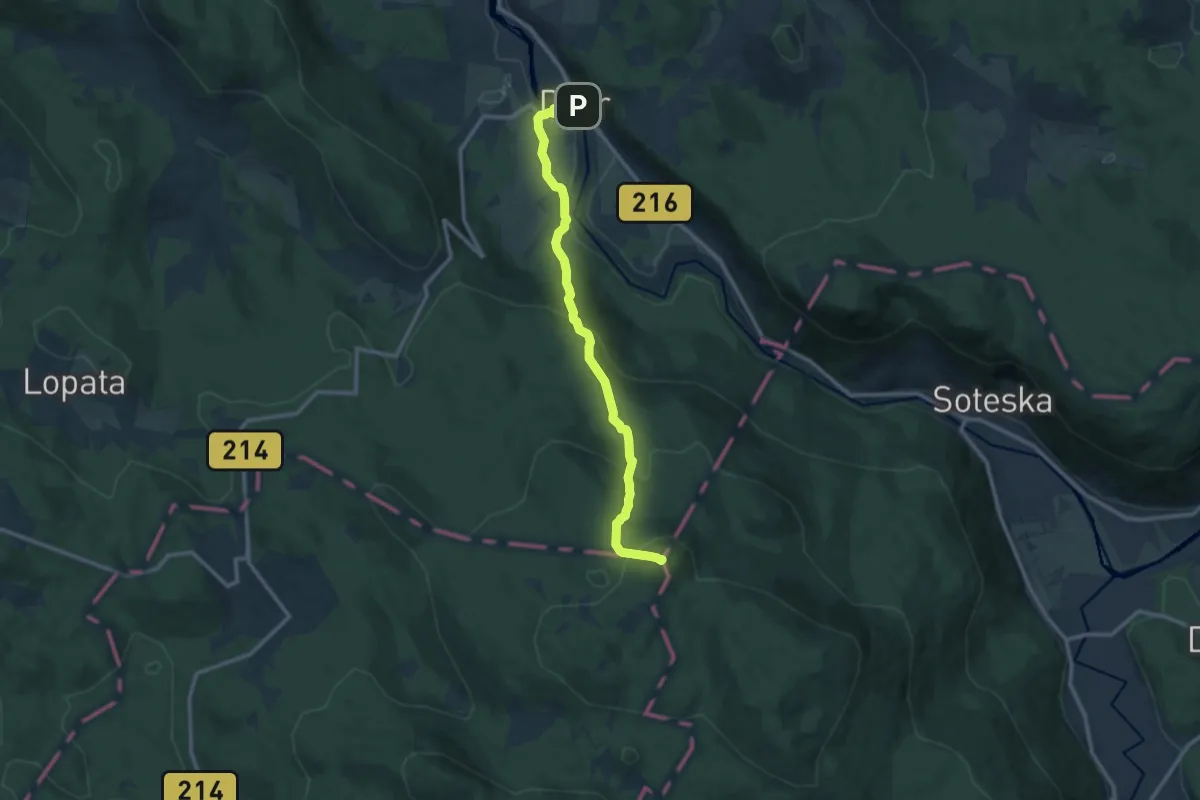
Medium · Summit
Dvor - Sv. Peter
11.9 km · ↑ 741 m · 4 h 24 min
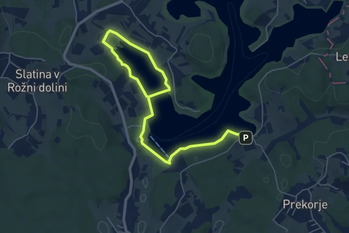
Easy · Trail
Ekosistemska učna pot Šmartinsko jezero
6.5 km · ↑ 65 m · 1 h 41 min
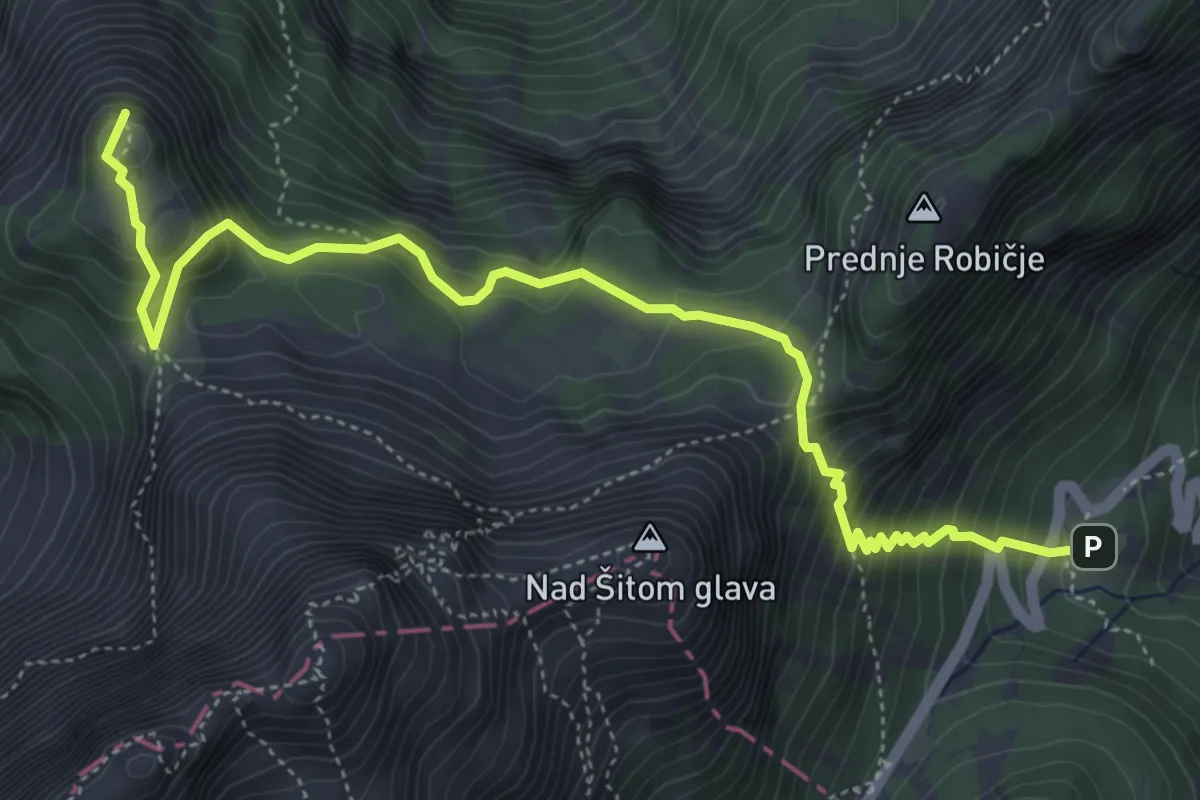
Medium · Summit
Erjavčeva koča - Slemenova špica
5.8 km · ↑ 645 m · 2 h 46 min
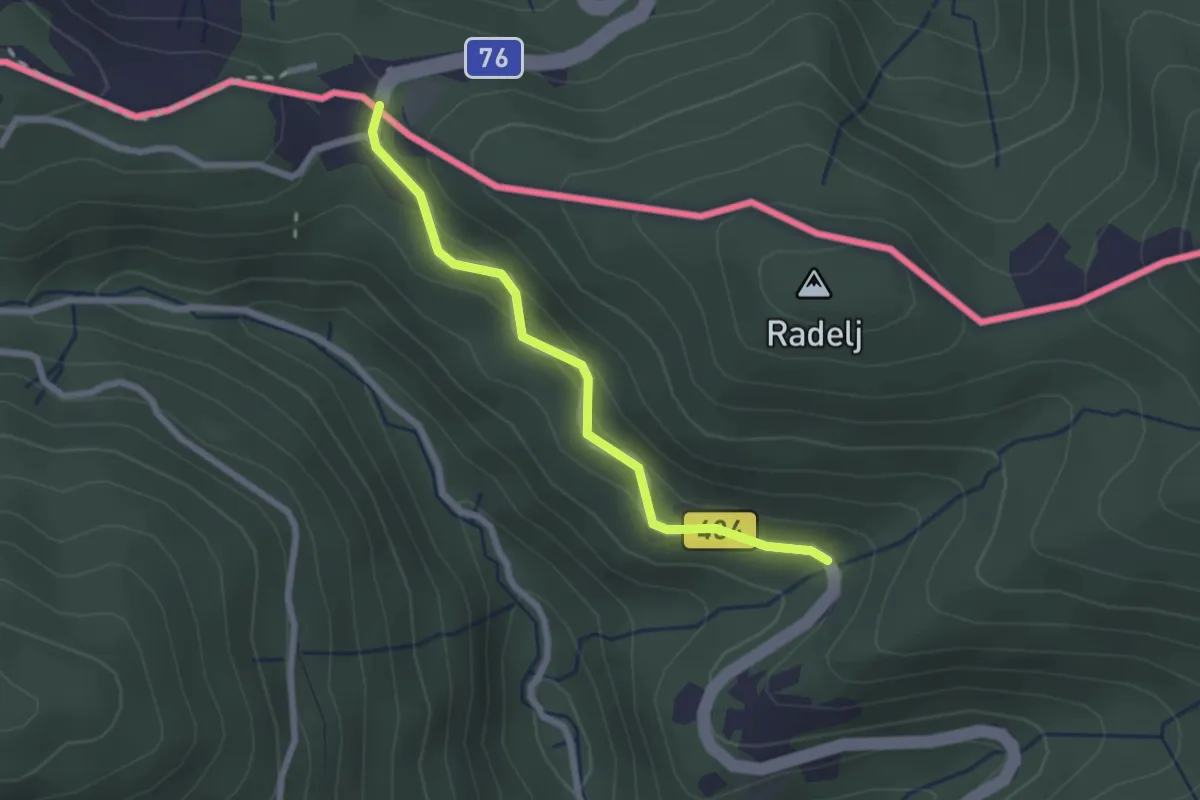
Easy · Trail
European long distance path E6 - part Slovenia
2.2 km · ↑ 55 m · 38 min
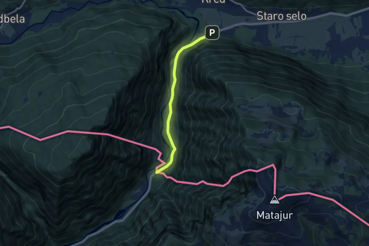
Easy · Trail
European long distance path E7 - part Slovenia
7.2 km · ↑ 180 m · 2 h 5 min
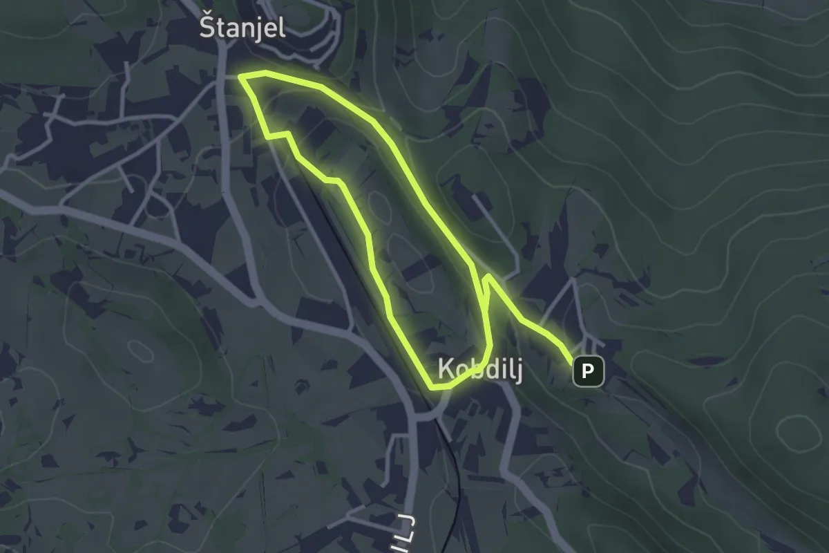
Easy · Trail
Fabianijeva pot
5.3 km · ↑ 158 m · 1 h 35 min
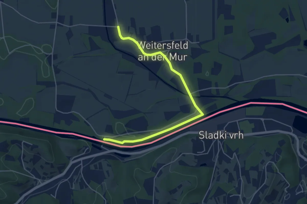
Easy · Trail
Fähren Weg
5.0 km · ↑ 0 m · 1 h 11 min
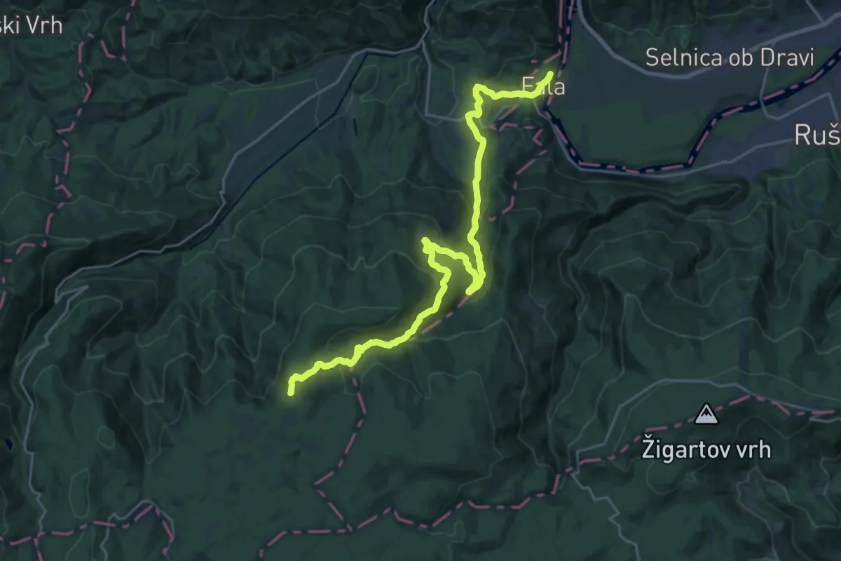
Demanding · Summit
Fala - Klopni vrh
24.7 km · ↑ 1206 m · 8 h 27 min
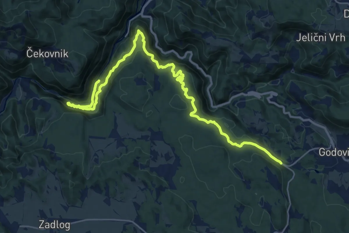
Expert · Trail
Feldban
21.9 km · ↑ 1215 m · 7 h 48 min
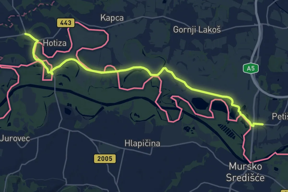
Medium · Pilgrim path
Fény a határon zarándokút
10.0 km · ↑ 5 m · 2 h 30 min
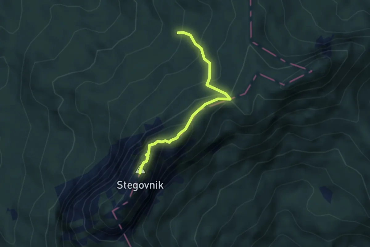
Demanding · Summit
Fevča - Stegovnik
3.4 km · ↑ 290 m · 1 h 26 min
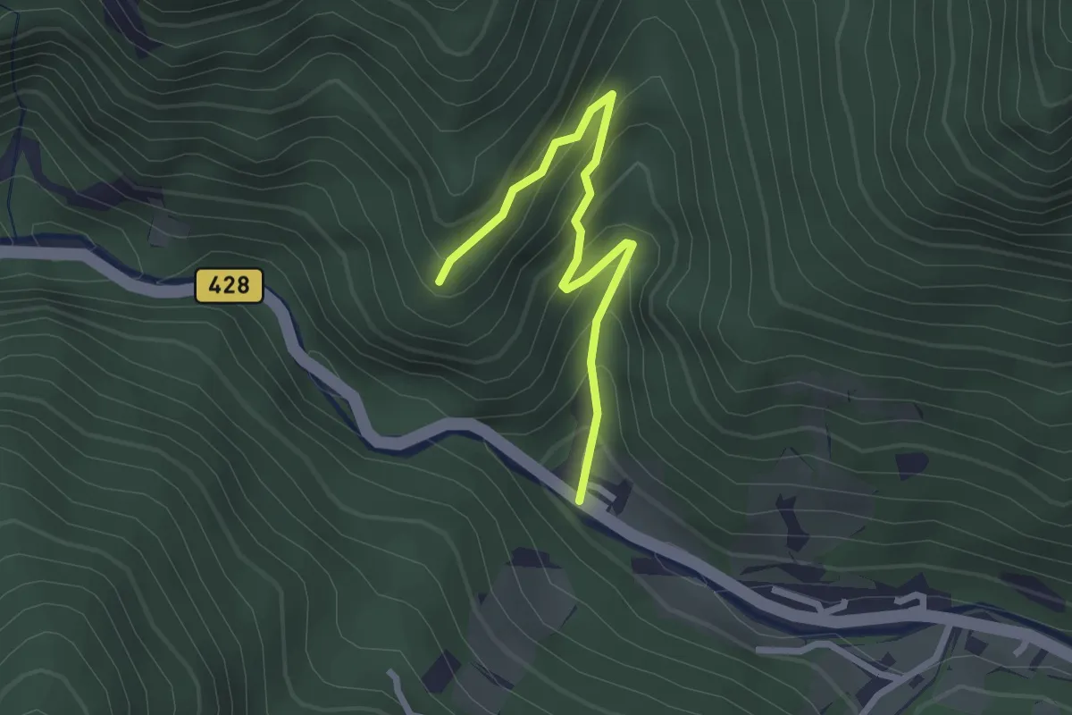
Easy · Summit
Firšt - Rogar (Podolševa)
2.4 km · ↑ 220 m · 1 h 3 min
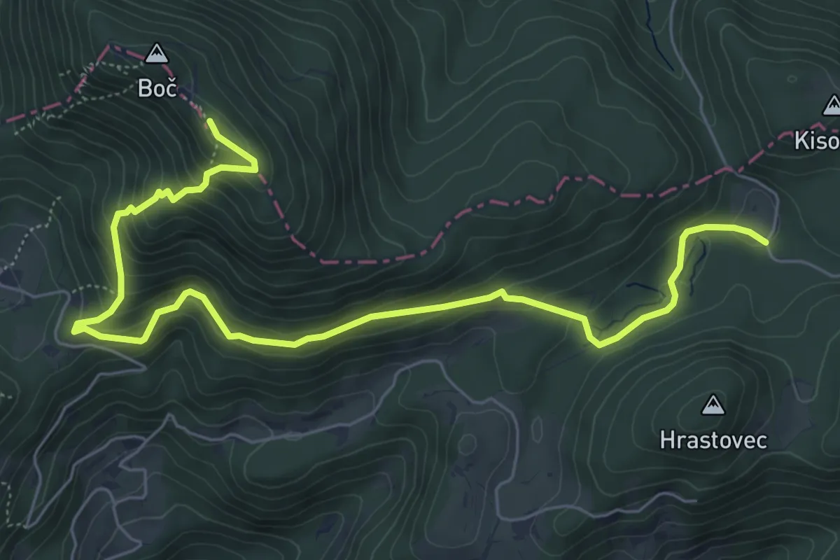
Medium · Trail
Formila - Boč
7.7 km · ↑ 458 m · 2 h 49 min
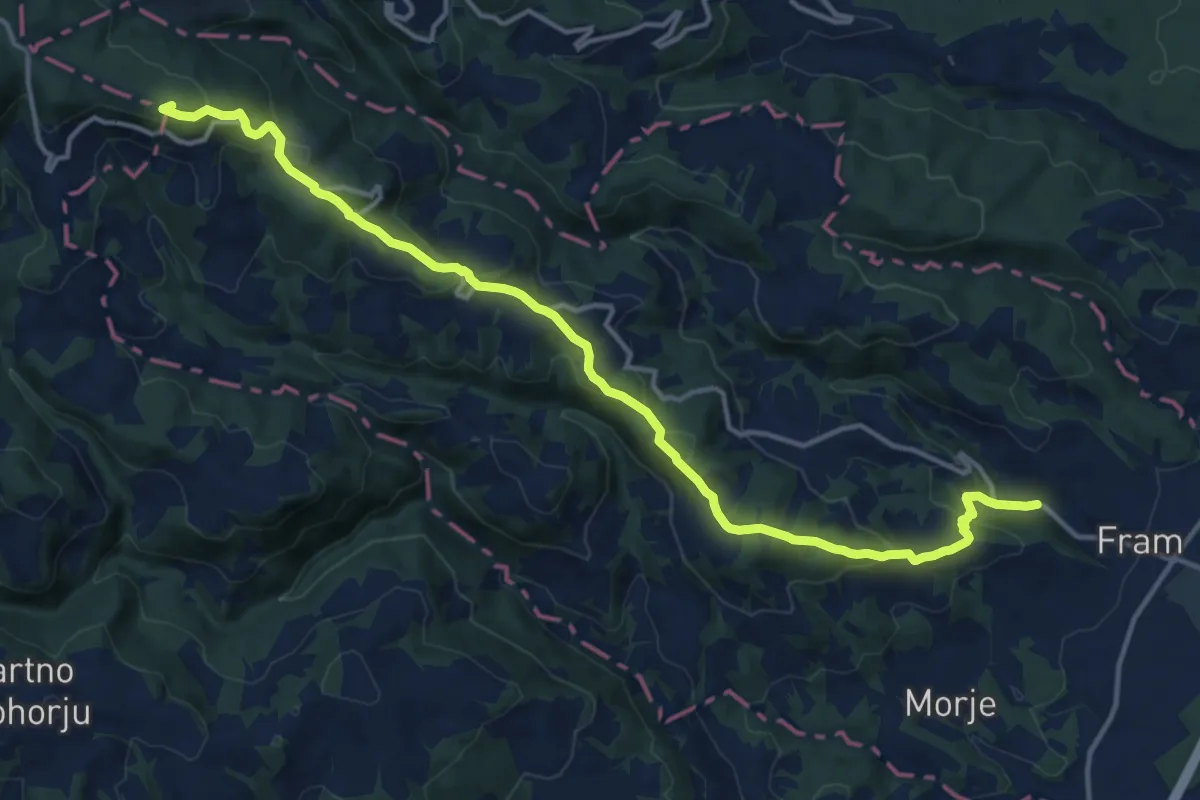
Medium · Summit
Fram - Areh
16.0 km · ↑ 656 m · 5 h 11 min
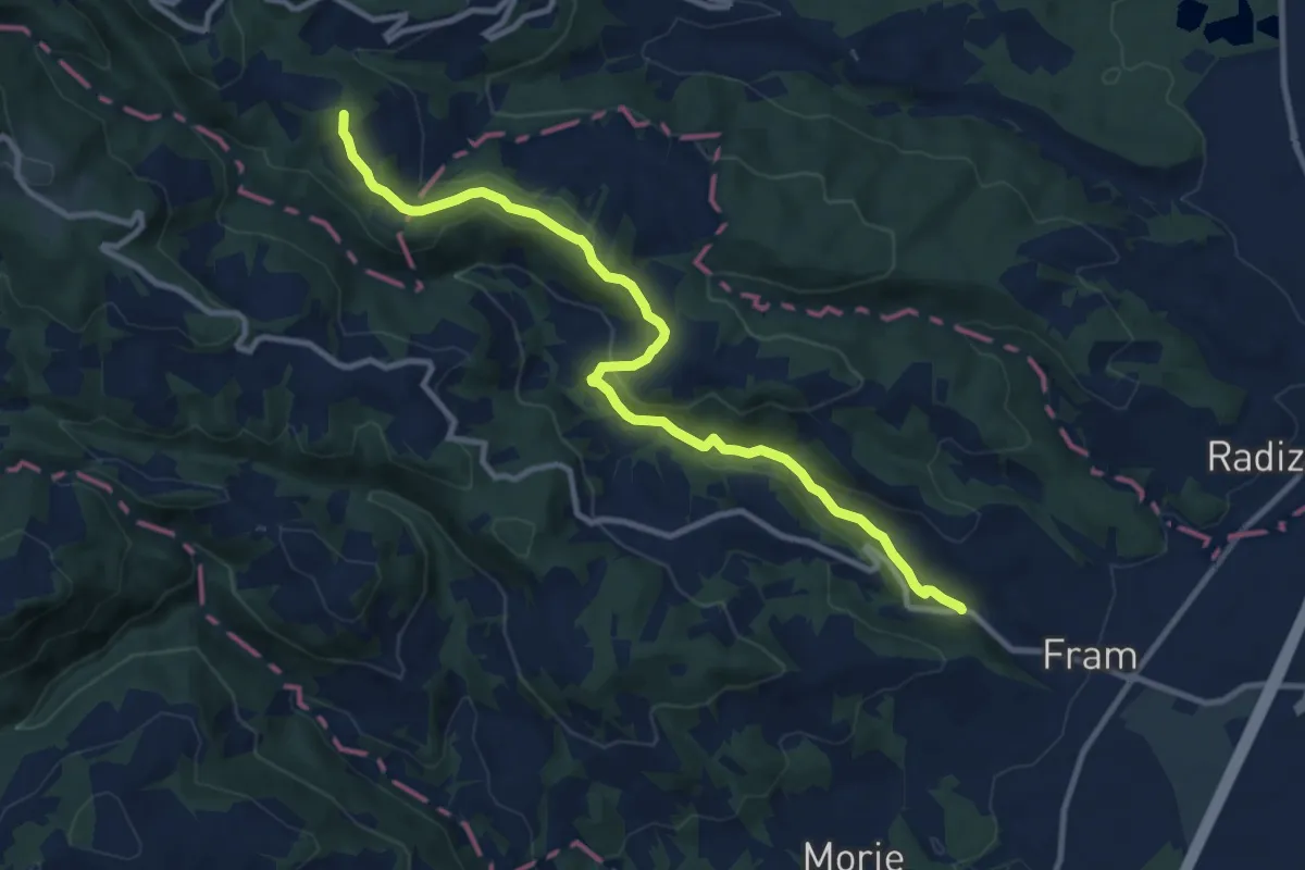
Medium · Summit
Fram - Mariborska koča
11.0 km · ↑ 375 m · 3 h 24 min
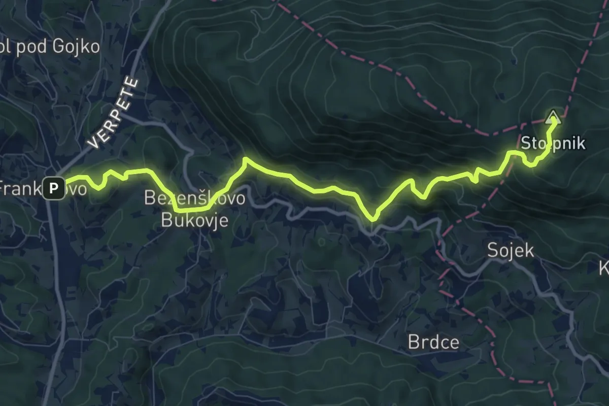
Demanding · Summit
Frankolovo - Črešnjice - Stolpnik
11.4 km · ↑ 811 m · 4 h 26 min
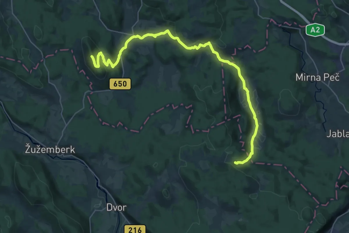
Demanding · Summit
Frata - Lisec
30.4 km · ↑ 969 m · 9 h 17 min
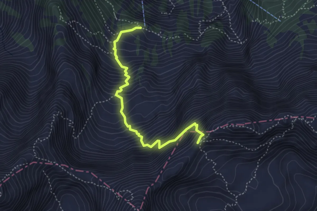
Expert · Cabin
Frischaufova pot
4.1 km · ↑ 816 m · 2 h 43 min
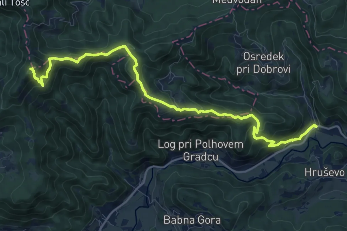
Demanding · Summit
Gabrje - Grmada
12.1 km · ↑ 814 m · 4 h 37 min
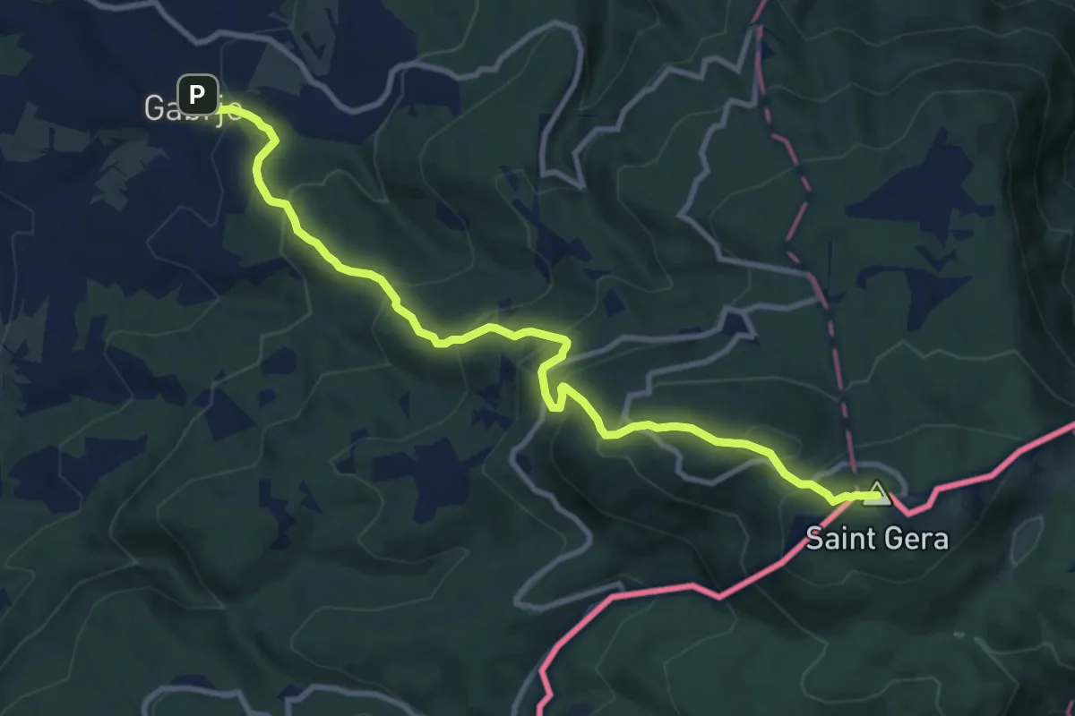
Demanding · Summit
Gabrje - Pl. dom pri Gospodični - Trdinov vrh
10.7 km · ↑ 839 m · 4 h 20 min
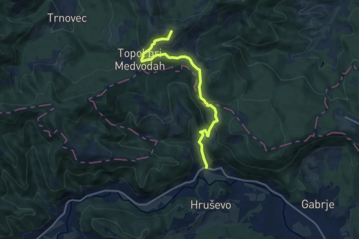
Medium · Summit
Gabrje - Sv. Katarina
8.4 km · ↑ 507 m · 3 h 5 min
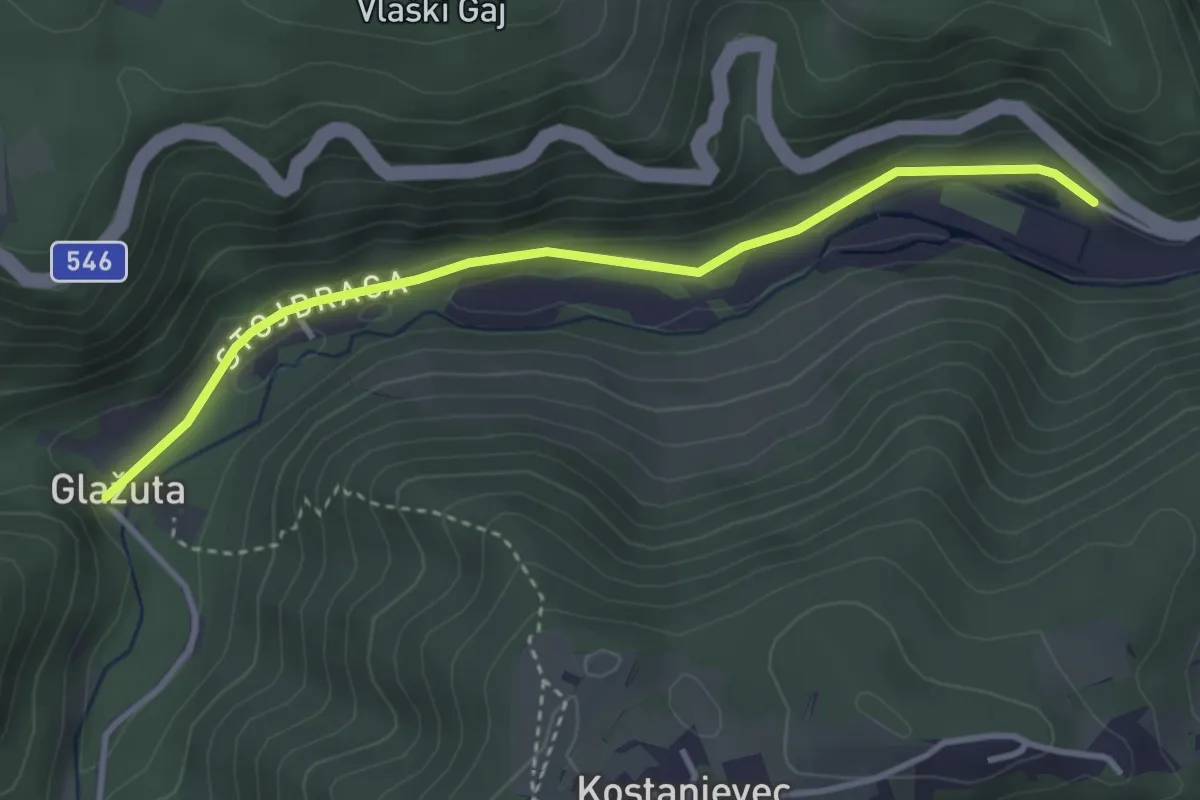
Easy · Trail
Gabrovica - Kravljak
3.6 km · ↑ 100 m · 1 h 3 min
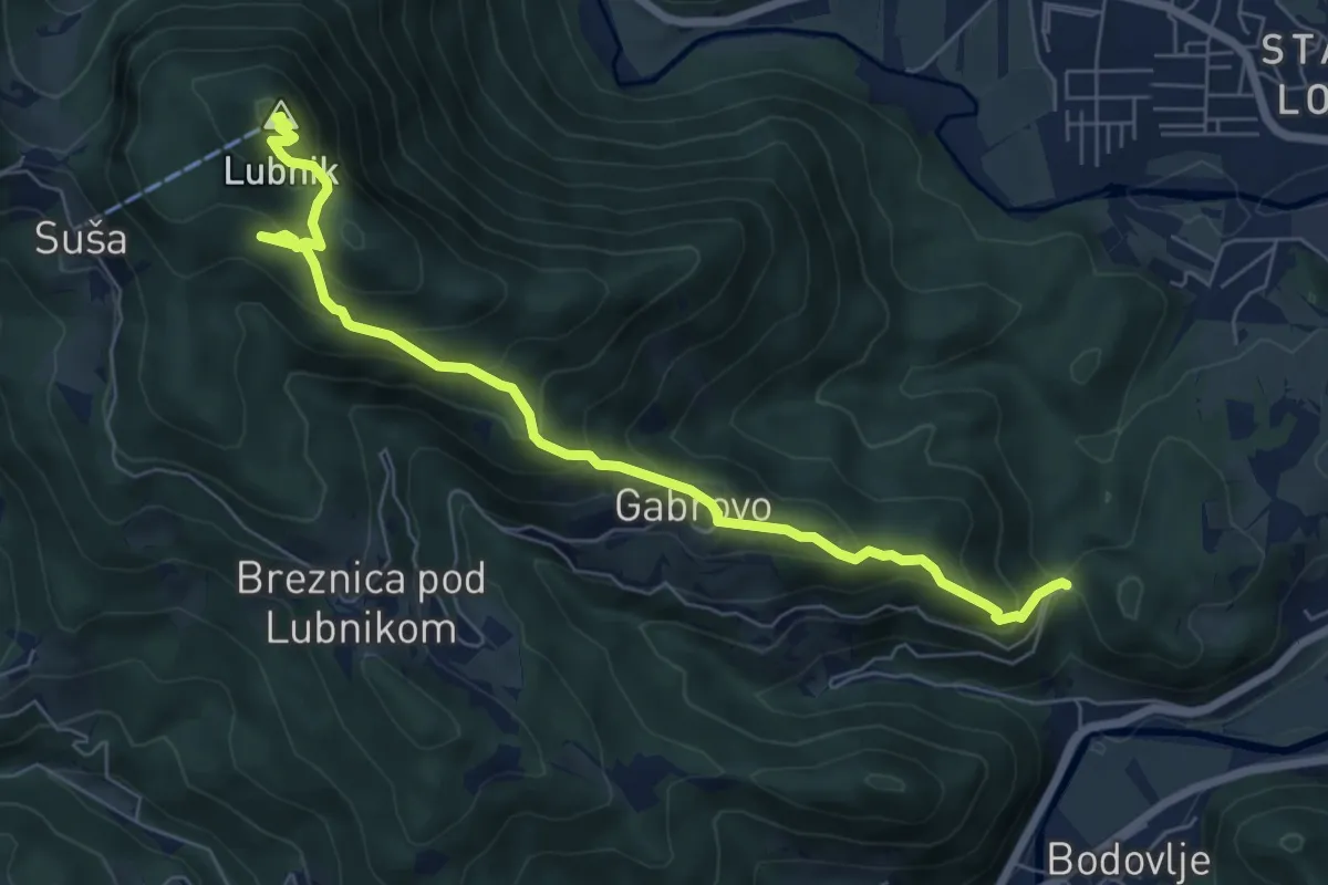
Medium · Summit
Gabrovo - Lubnik
7.4 km · ↑ 586 m · 3 h 1 min
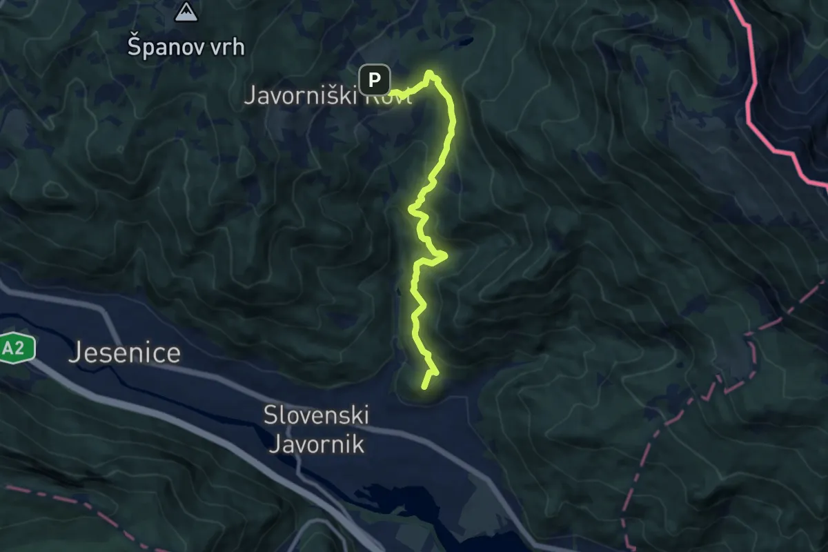
Medium · Summit
Gajškova pot (Kor. Bela - Dom Pristava)
9.1 km · ↑ 622 m · 3 h 30 min
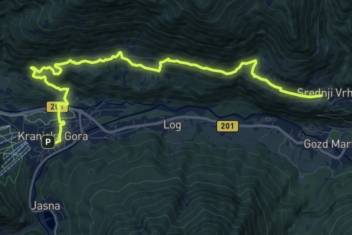
Medium · Trail
Galerše across Robe to Srednji Vrh and to Gozd Martuljek 2
14.7 km · ↑ 792 m · 5 h 11 min
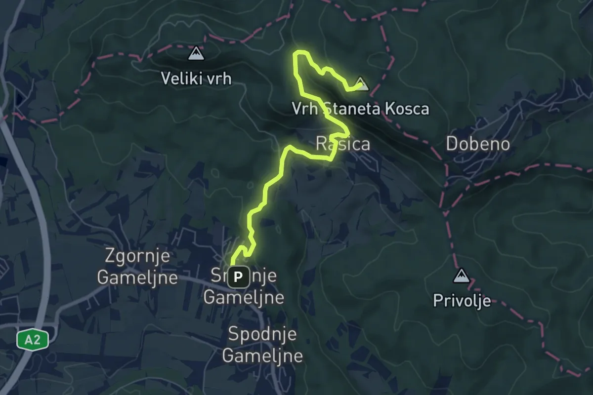
Easy · Summit
Gameljne - Rašica (po cesti)
6.8 km · ↑ 318 m · 2 h 17 min
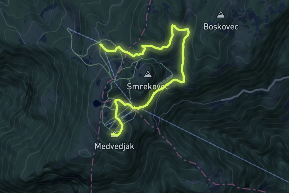
Medium · Summit
Gamsova pot
9.2 km · ↑ 472 m · 3 h 12 min
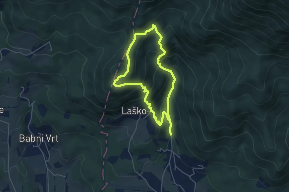
Medium · Summit
Gamsova pot
3.5 km · ↑ 308 m · 1 h 32 min
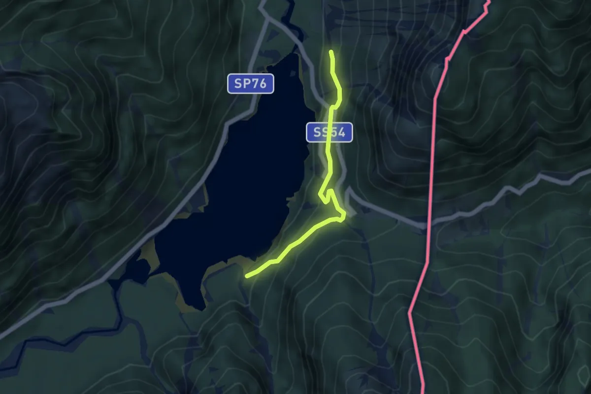
Easy · Trail
Giro del Lago
3.5 km · ↑ 288 m · 1 h 28 min
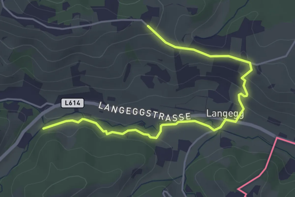
Easy · Trail
Glanzer Hoftour (Variante 2 - Langvariante)
4.8 km · ↑ 155 m · 1 h 28 min
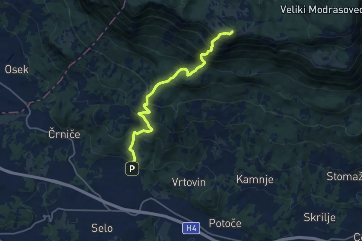
Demanding · Summit
Gojače - Kucelj
10.7 km · ↑ 1014 m · 4 h 43 min
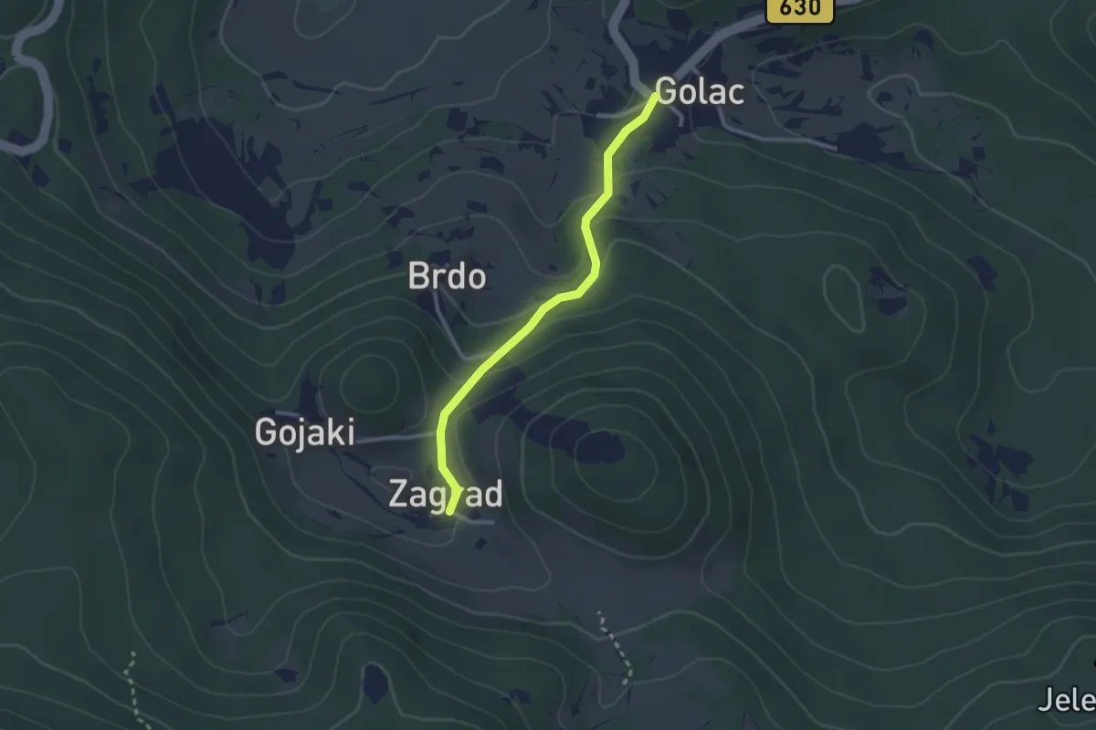
Easy · Trail
Golac - Zagrad
2.5 km · ↑ 114 m · 50 min
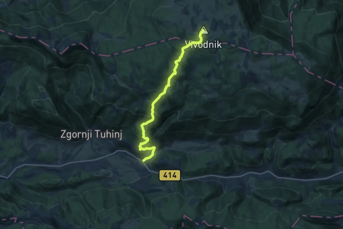
Demanding · Summit
Golice - Vivodnik
13.0 km · ↑ 932 m · 5 h 5 min
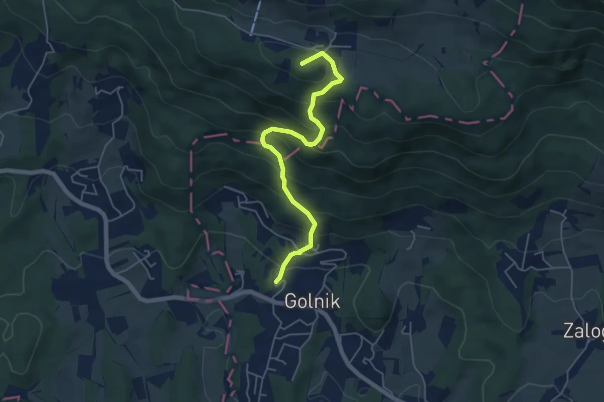
Medium · Summit
Golnik - Gozd
4.5 km · ↑ 427 m · 1 h 59 min
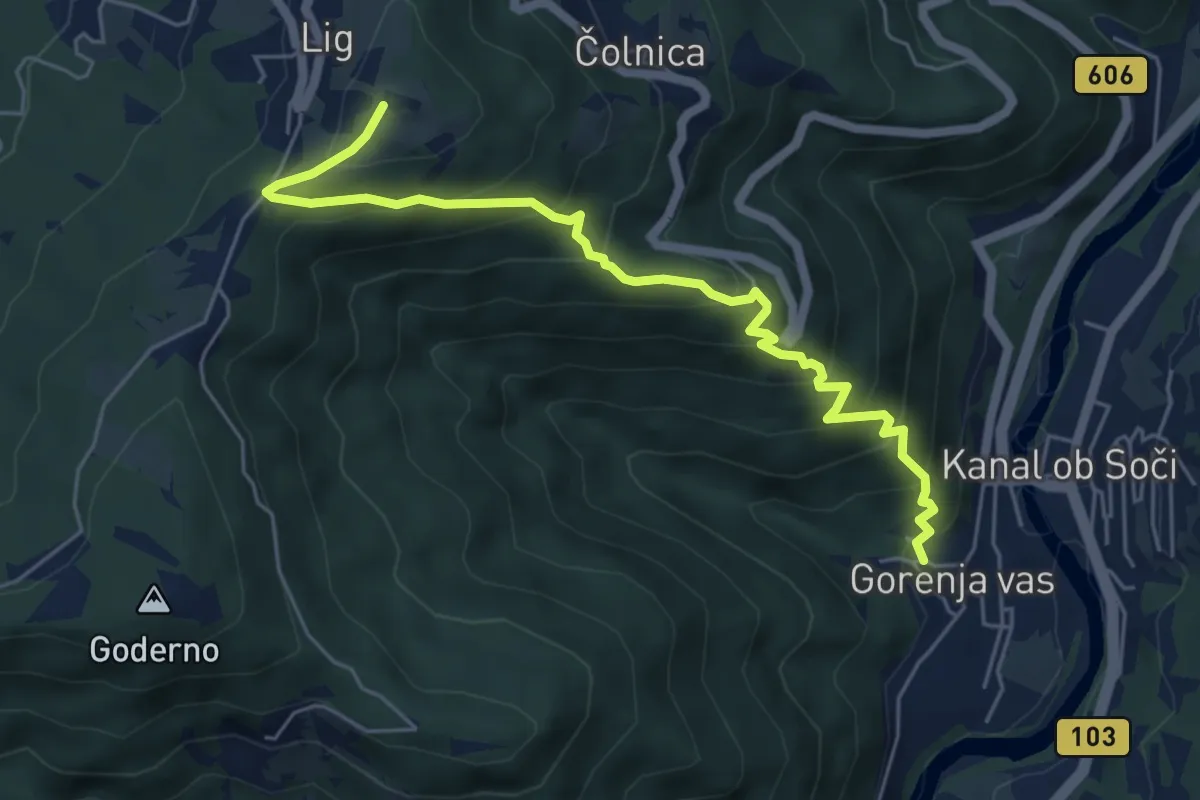
Medium · Trail
Gorenja vas - Marijino Celje
6.1 km · ↑ 534 m · 2 h 36 min
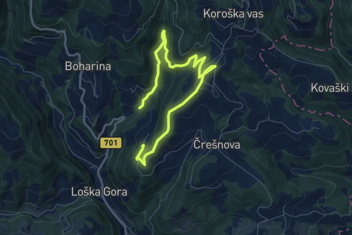
Medium · Trail
Gorenje 3
9.2 km · ↑ 358 m · 2 h 57 min
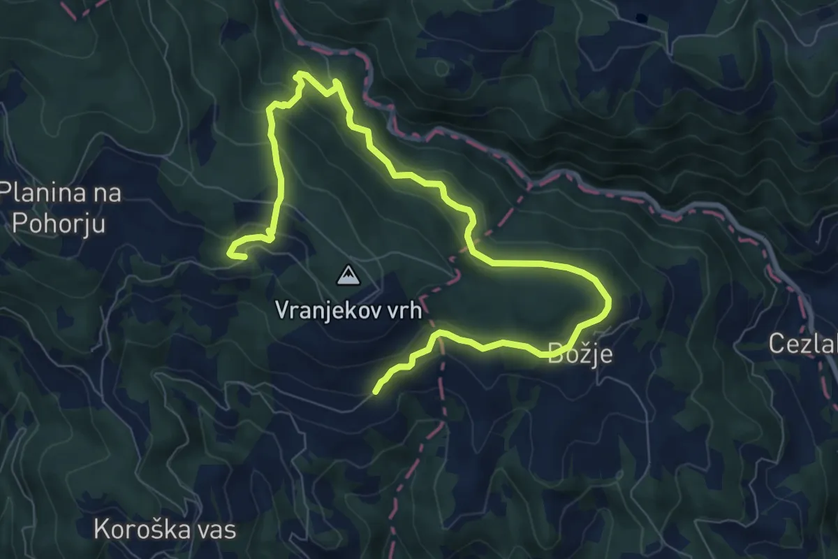
Medium · Trail
Gorenje 7
10.6 km · ↑ 462 m · 3 h 30 min
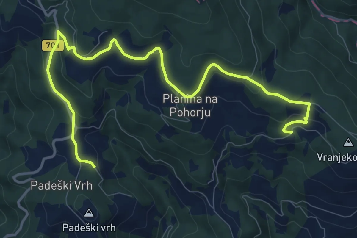
Medium · Trail
Gorenje 8
10.8 km · ↑ 418 m · 3 h 27 min
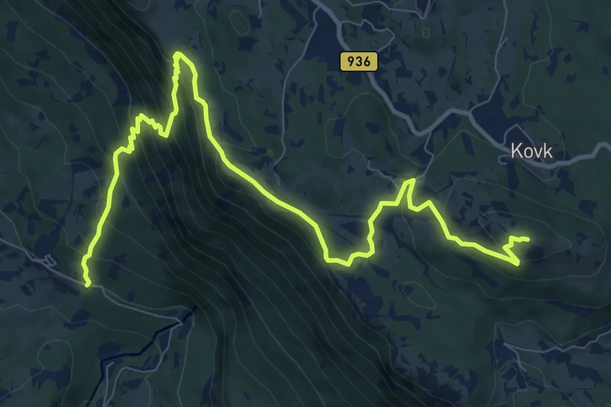
Demanding · Summit
Gorenje - Sinji vrh
11.1 km · ↑ 803 m · 4 h 22 min
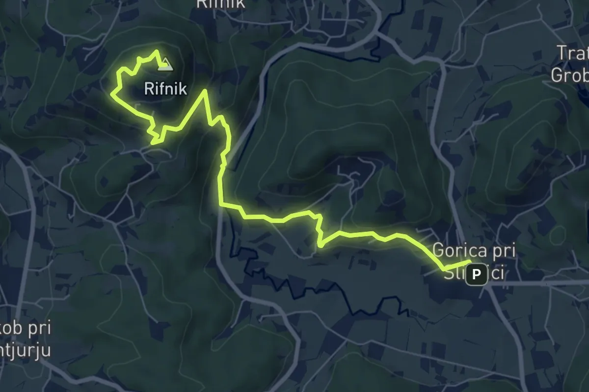
Medium · Summit
Gorica pri Slivnici - Rifnik
8.3 km · ↑ 504 m · 3 h 3 min
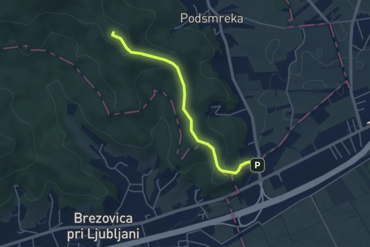
Easy · Summit
Gorjanc - Kamenščica
3.7 km · ↑ 167 m · 1 h 15 min