Trails in Slovenia
1,594 hiking trails, each with its route, climb, walking time and grade.
All trails, page 7 of 34
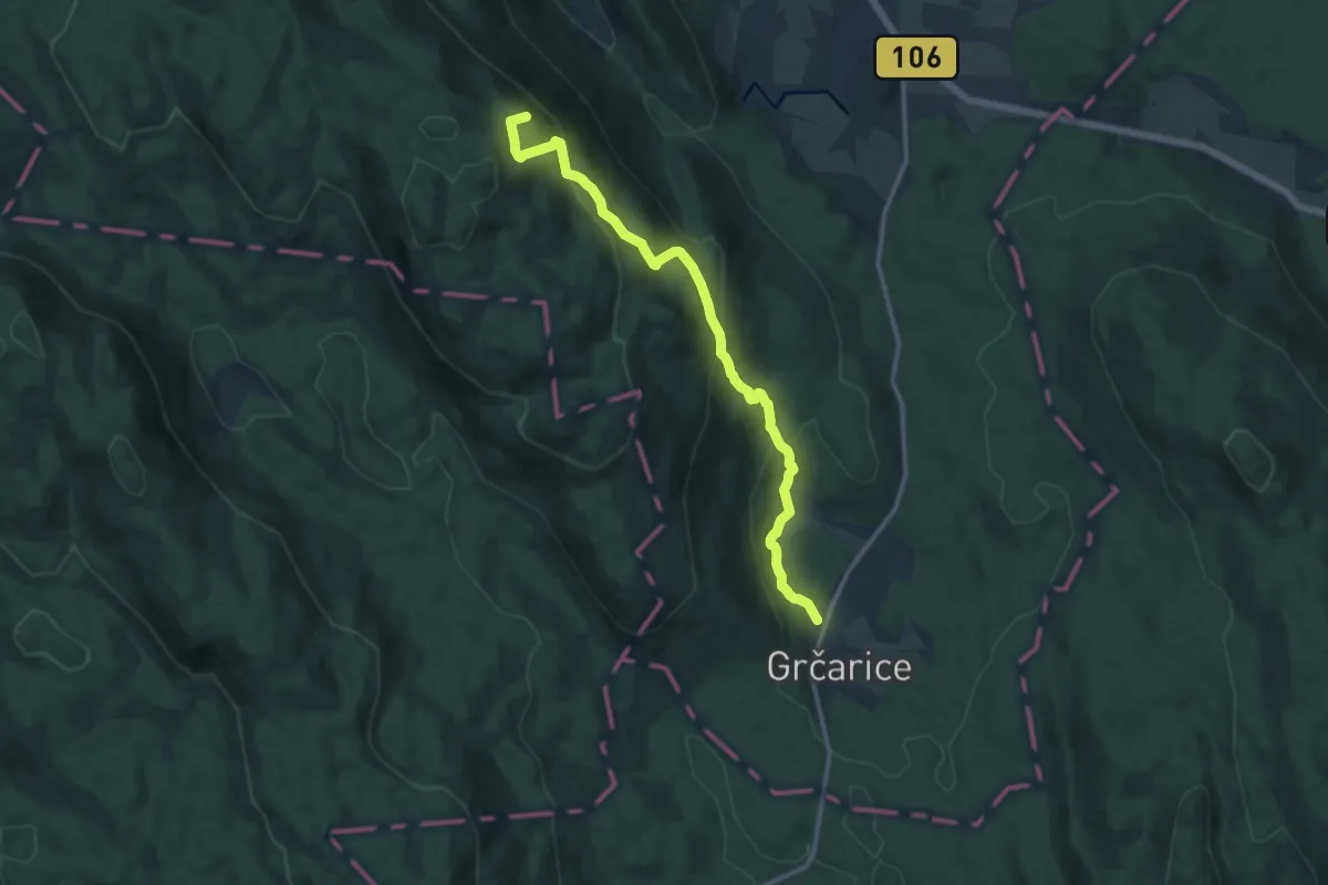
Medium · Summit
Grčarice - Bela stena
13.3 km · ↑ 729 m · 4 h 43 min
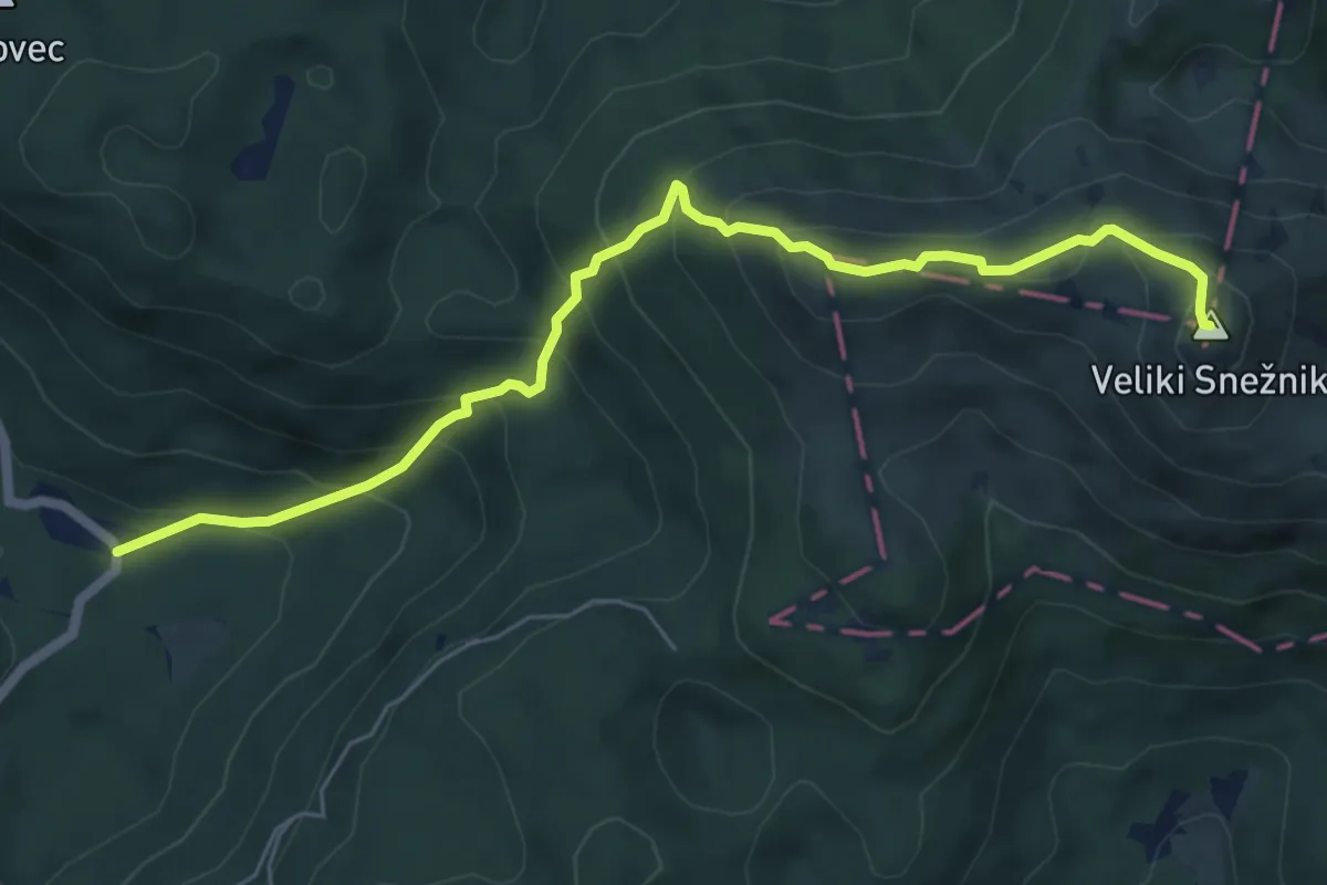
Medium · Summit
Grda draga - M. Snežnik - V. Snežnik
6.7 km · ↑ 671 m · 3 h 2 min
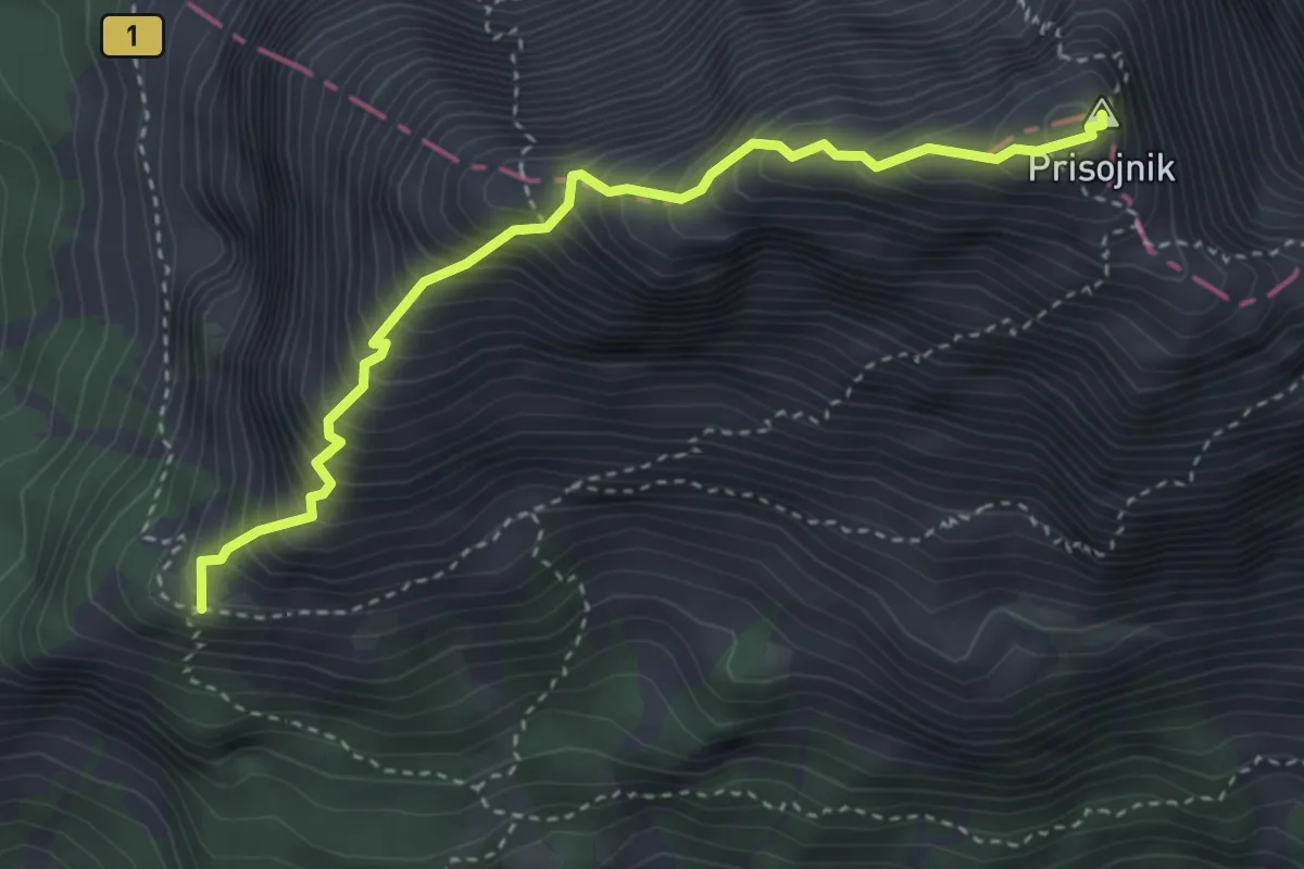
Expert · Summit
Grebenska pot
3.6 km · ↑ 699 m · 2 h 22 min
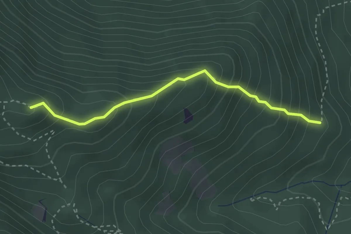
Medium · Summit
Grebenska pot
2.6 km · ↑ 347 m · 1 h 22 min
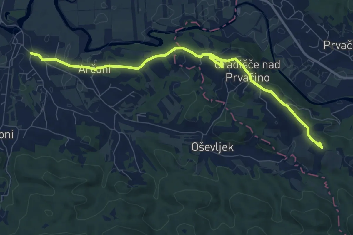
Medium · Summit
Gregorčičeva pot
8.8 km · ↑ 103 m · 2 h 18 min
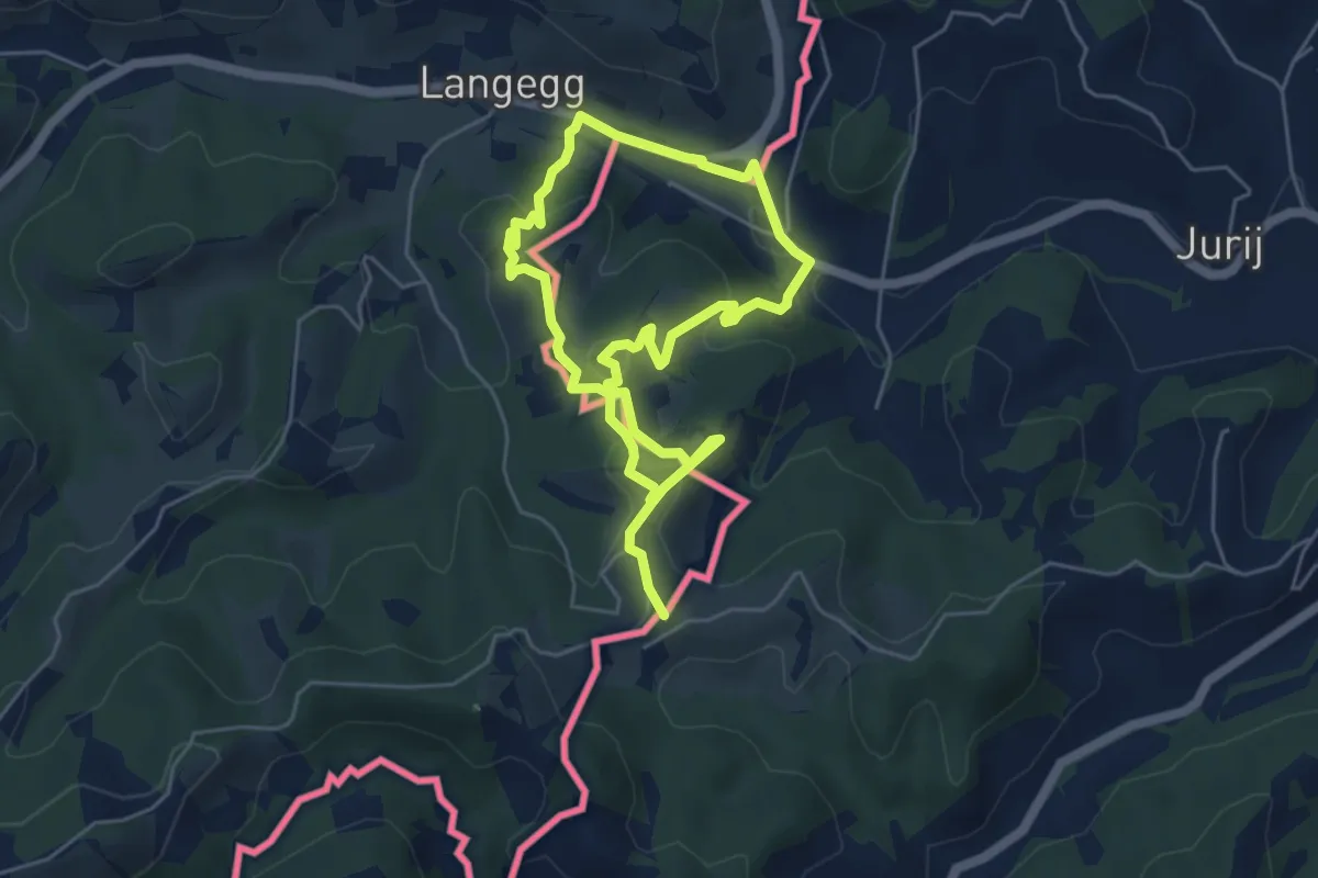
Easy · Trail
Grenzlandgalerie
4.3 km · ↑ 152 m · 1 h 25 min
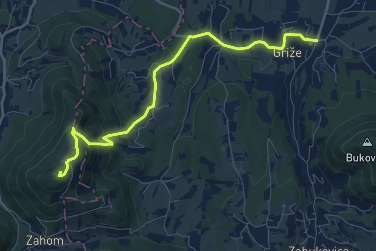
Medium · Summit
Griže - Hom
8.2 km · ↑ 425 m · 2 h 51 min
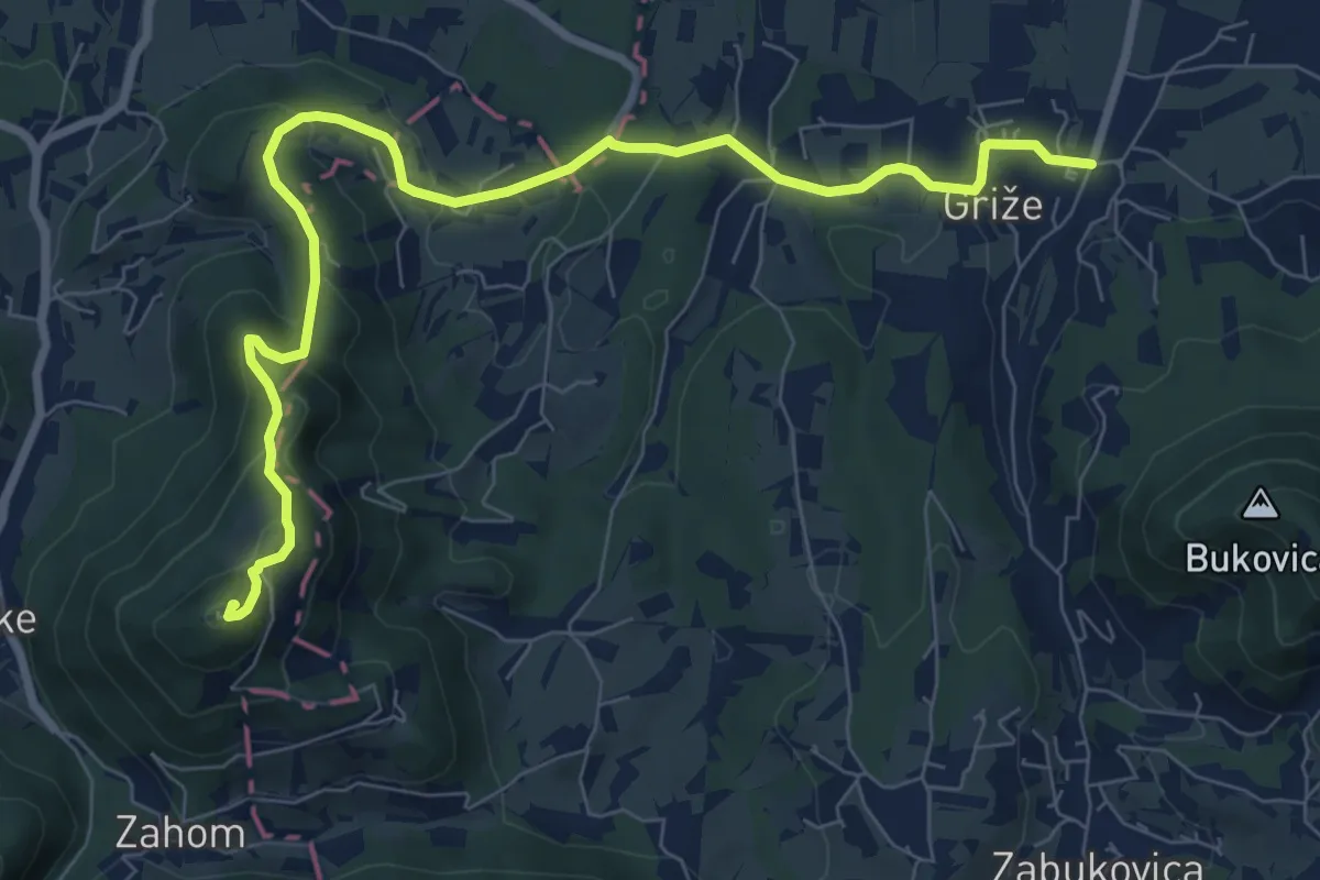
Medium · Summit
Griže - Lajnarjev hrib - Hom
9.3 km · ↑ 400 m · 3 h 4 min
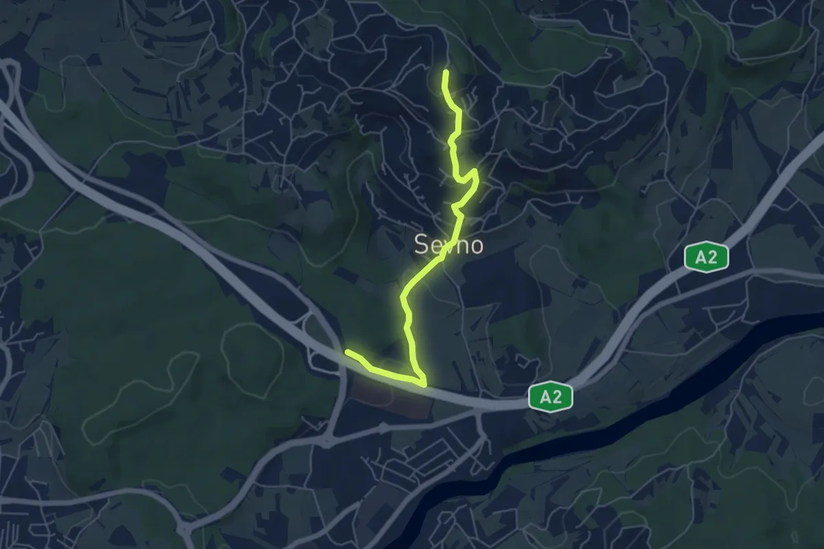
Easy · Summit
Grm - Trška gora
5.2 km · ↑ 252 m · 1 h 46 min
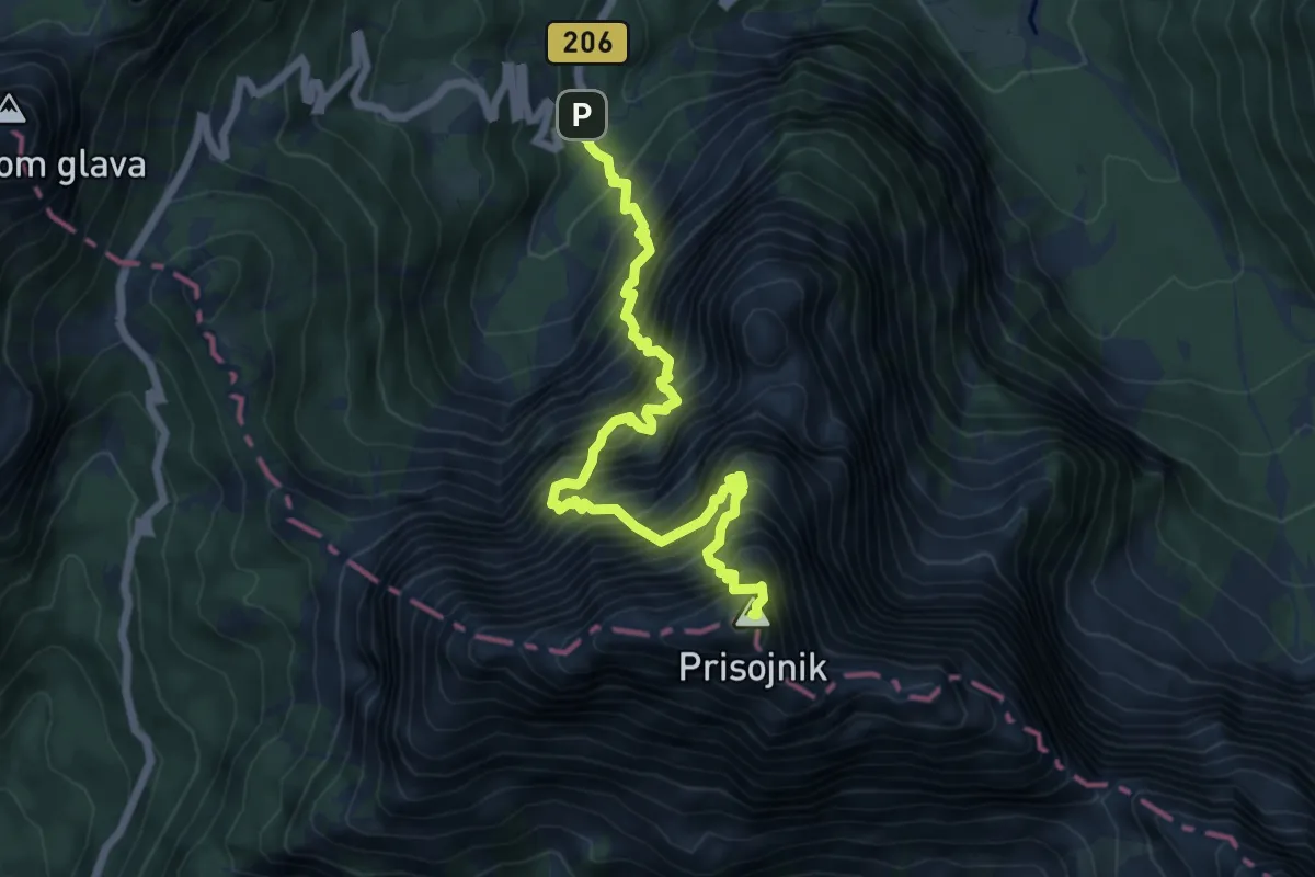
Expert · Summit
Hanzova pot
7.1 km · ↑ 2031 m · 6 h 4 min
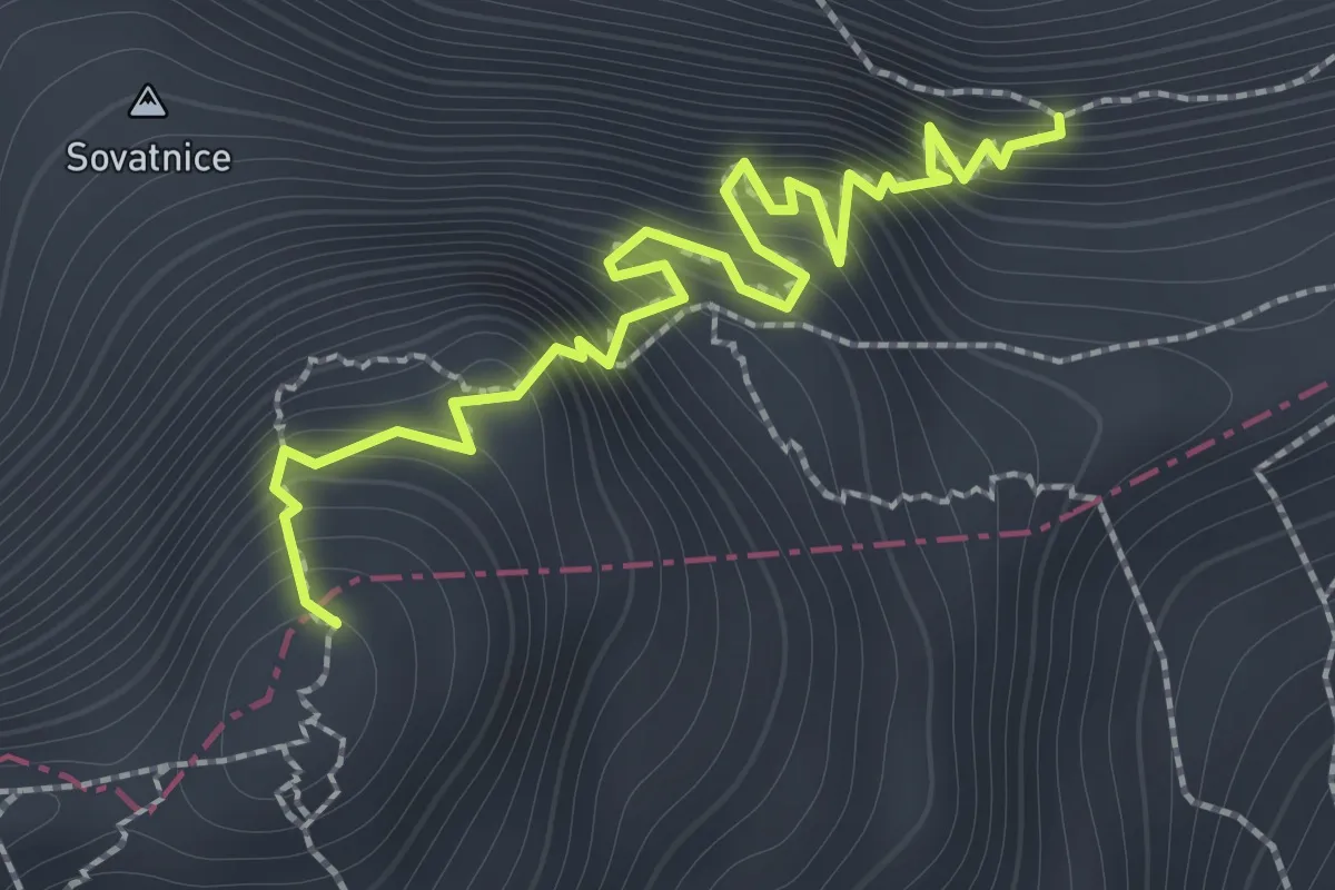
Expert · Summit
Hanzova pot
1.9 km · ↑ 389 m · 1 h 17 min
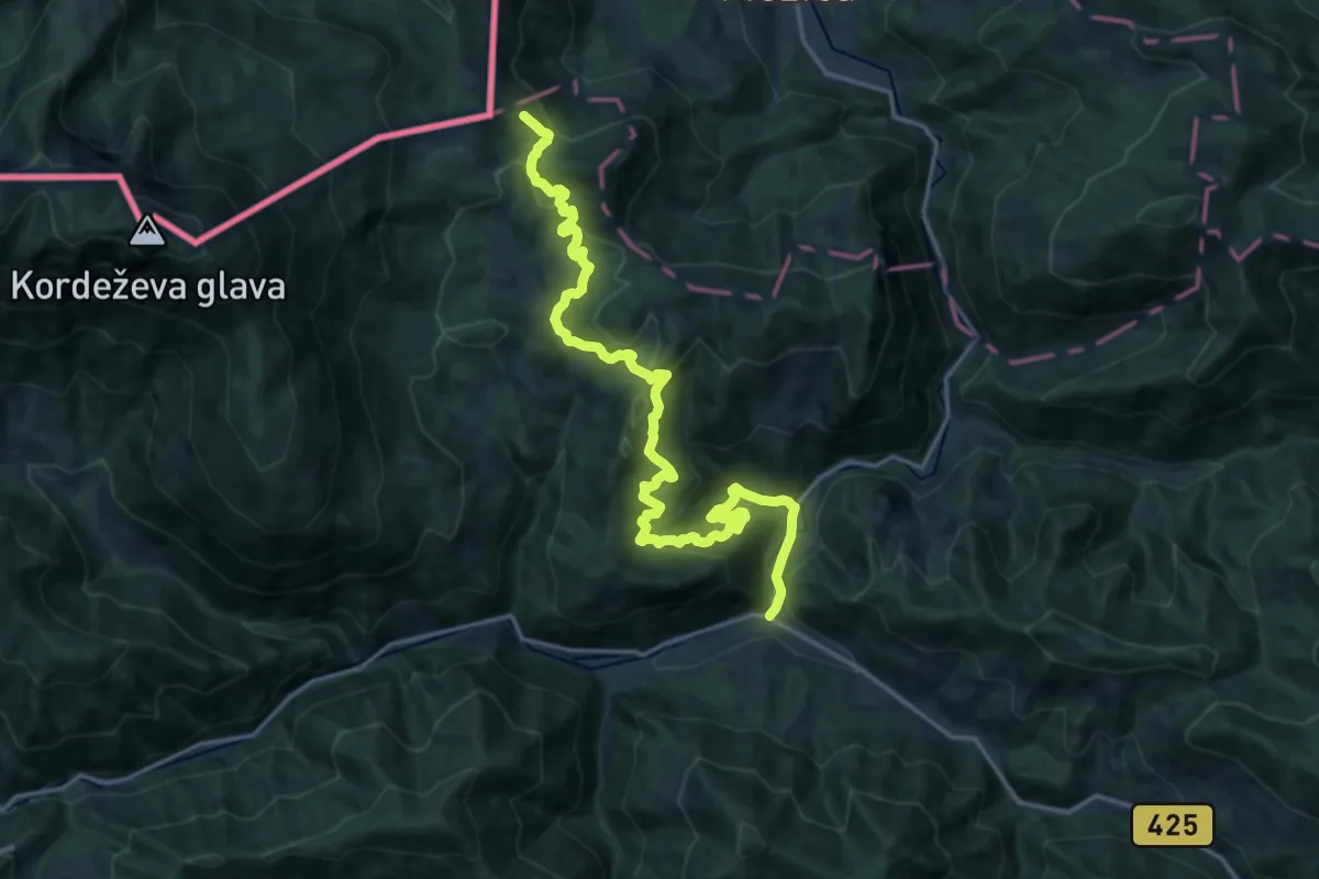
Medium · Summit
Hemmaweg Crna-Gurk
9.7 km · ↑ 796 m · 3 h 54 min
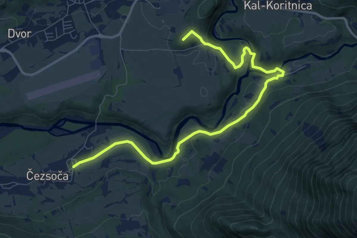
Medium · Summit
Hiking route B1
9.5 km · ↑ 183 m · 2 h 38 min
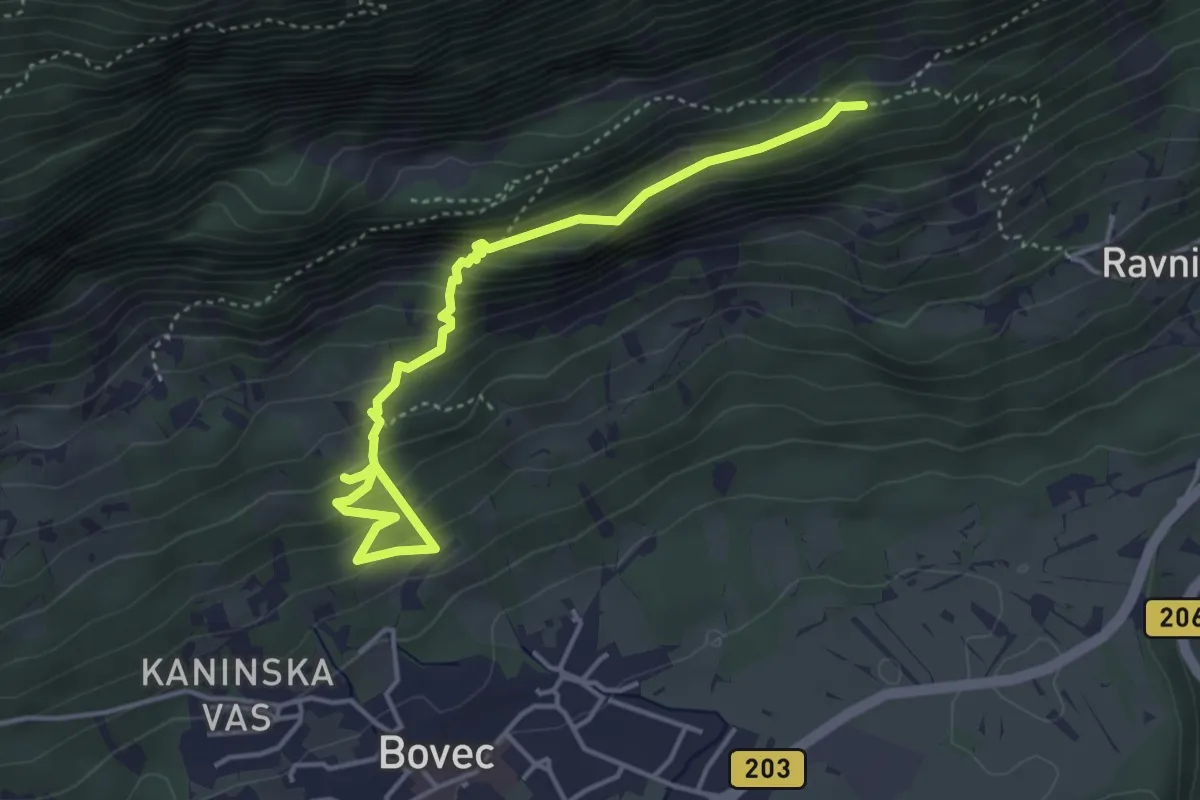
Medium · Trail
Hiking route B3c
4.6 km · ↑ 384 m · 1 h 55 min
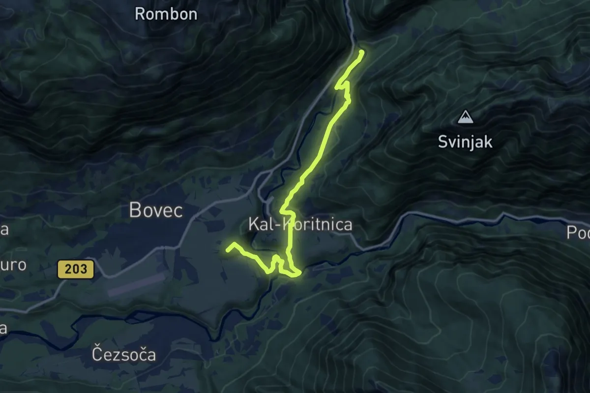
Medium · Summit
Hiking route B5
11.7 km · ↑ 369 m · 3 h 34 min
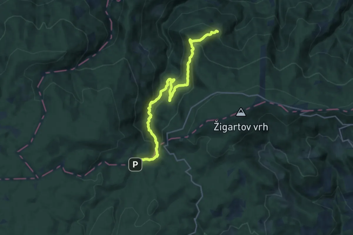
Demanding · Trail
Holcarska pot
16.2 km · ↑ 1002 m · 6 h
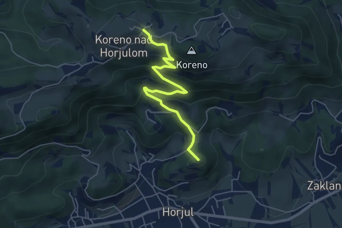
Medium · Summit
Horjul - Koreno (lažja)
4.6 km · ↑ 362 m · 1 h 52 min
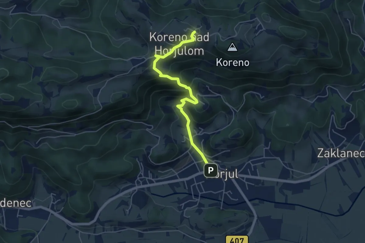
Medium · Trail
Horjul - Koreno (strma)
4.9 km · ↑ 355 m · 1 h 55 min
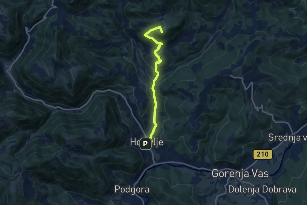
Medium · Summit
Hotavlje - Čabrače
8.1 km · ↑ 433 m · 2 h 51 min
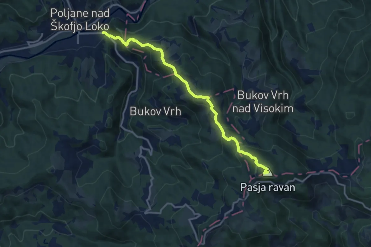
Medium · Summit
Hotovlja - Pasja ravan
9.2 km · ↑ 677 m · 3 h 38 min
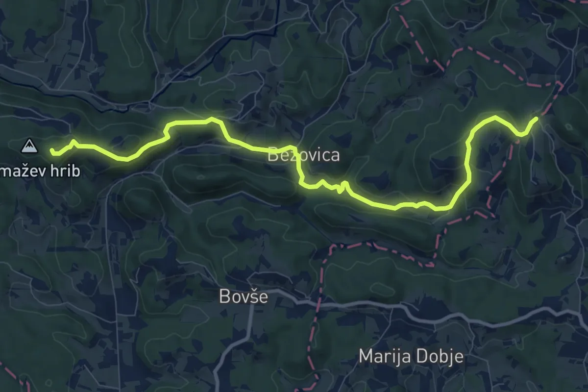
Medium · Trail
Hrastenšek - Sv. Tomaž
10.6 km · ↑ 351 m · 3 h 16 min
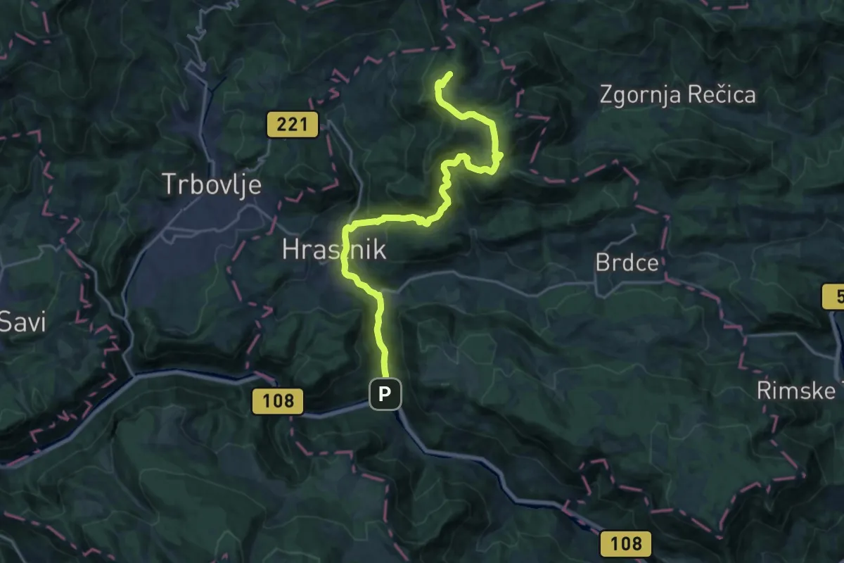
Demanding · Cabin
Hrastnik - Blate - Kal
20.3 km · ↑ 947 m · 6 h 50 min
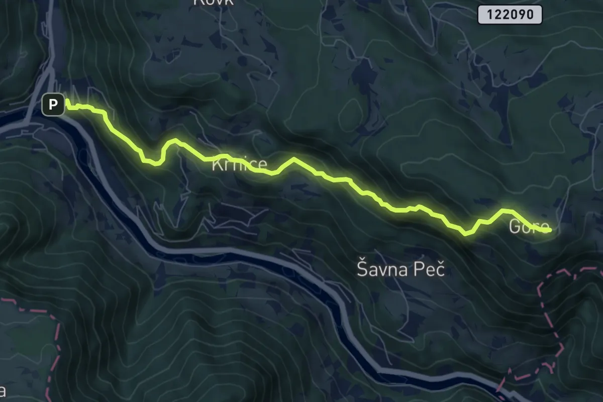
Medium · Cabin
Hrastnik - Dom Gore
8.6 km · ↑ 696 m · 3 h 32 min
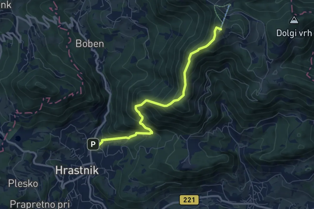
Medium · Summit
Hrastnik - Klobuk - Dom na Kalu
7.2 km · ↑ 654 m · 3 h 8 min
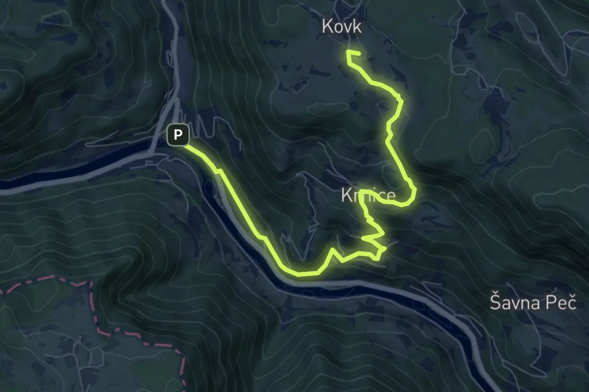
Medium · Summit
Hrastnik - Kovk - Gore
9.3 km · ↑ 481 m · 3 h 14 min
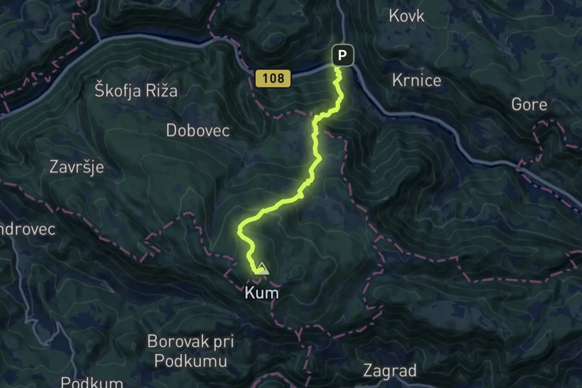
Demanding · Summit
Hrastnik - Kum
12.4 km · ↑ 1084 m · 5 h 17 min
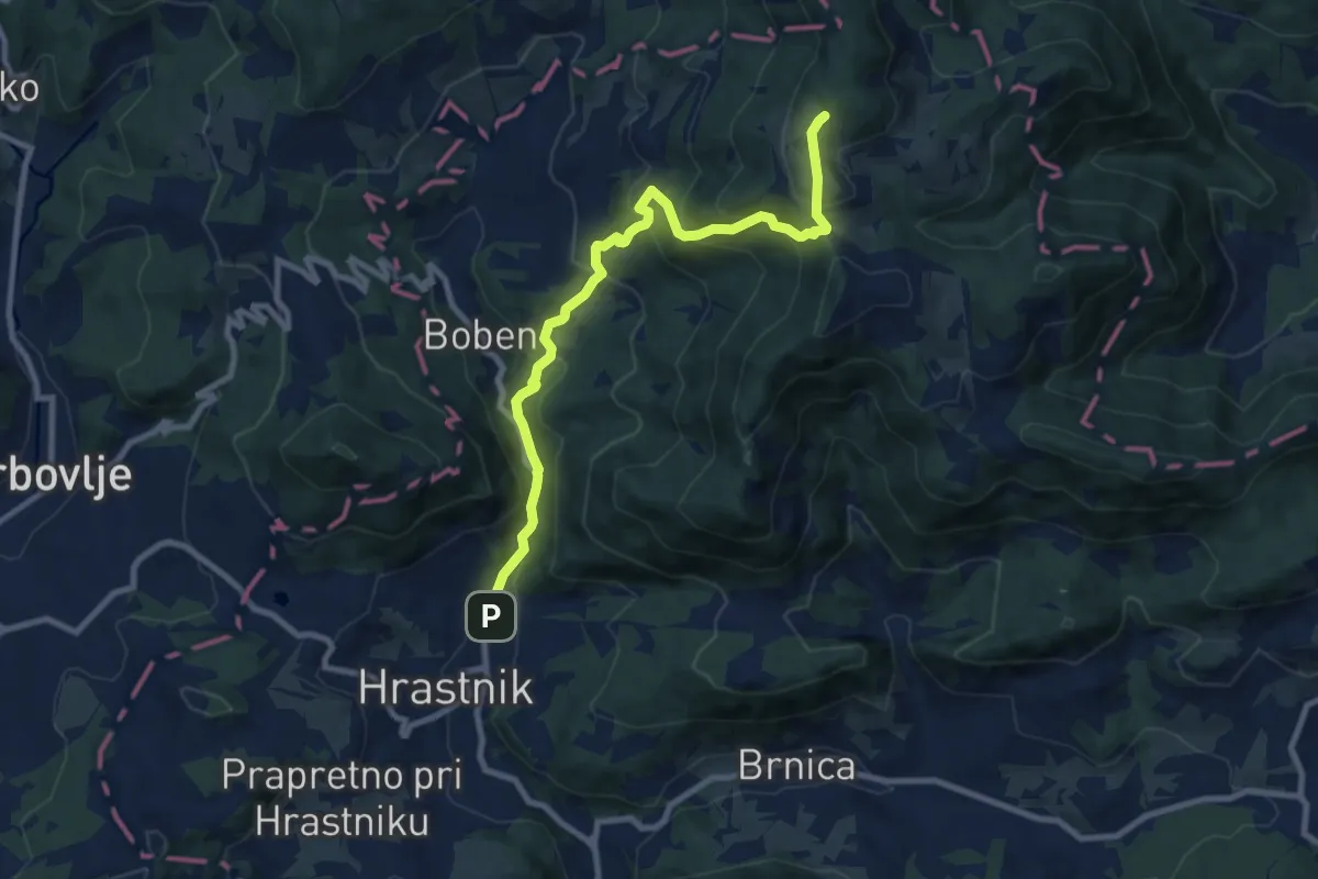
Medium · Cabin
Hrastnik - Ravne - Dom na Kalu
9.5 km · ↑ 706 m · 3 h 47 min
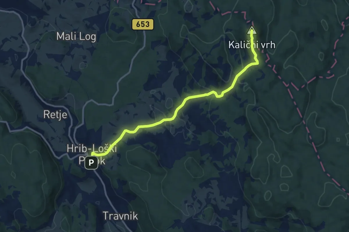
Medium · Summit
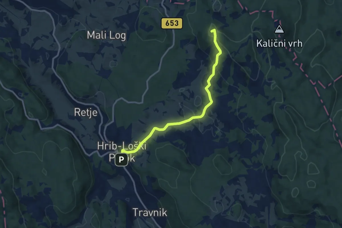
Hrib-Loški Potok - Kalični vrh
10.5 km · ↑ 429 m · 3 h 25 min
Medium · Summit
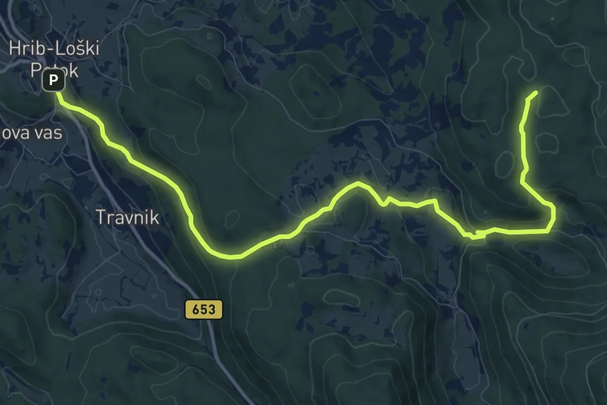
Hrib-Loški Potok - Kamni grič
8.6 km · ↑ 334 m · 2 h 45 min
Medium · Trail
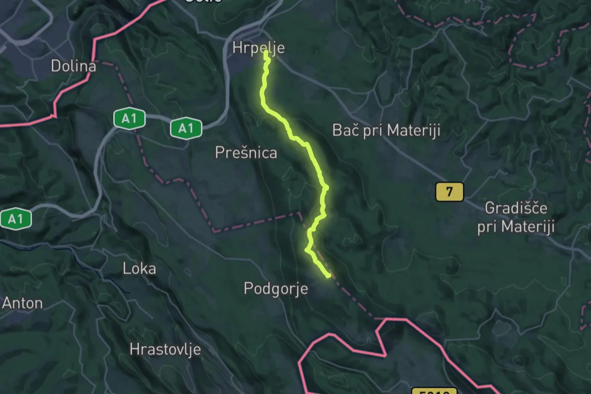
Hrib-Loški Potok - Ogenjca
13.2 km · ↑ 535 m · 4 h 16 min
Demanding · Summit
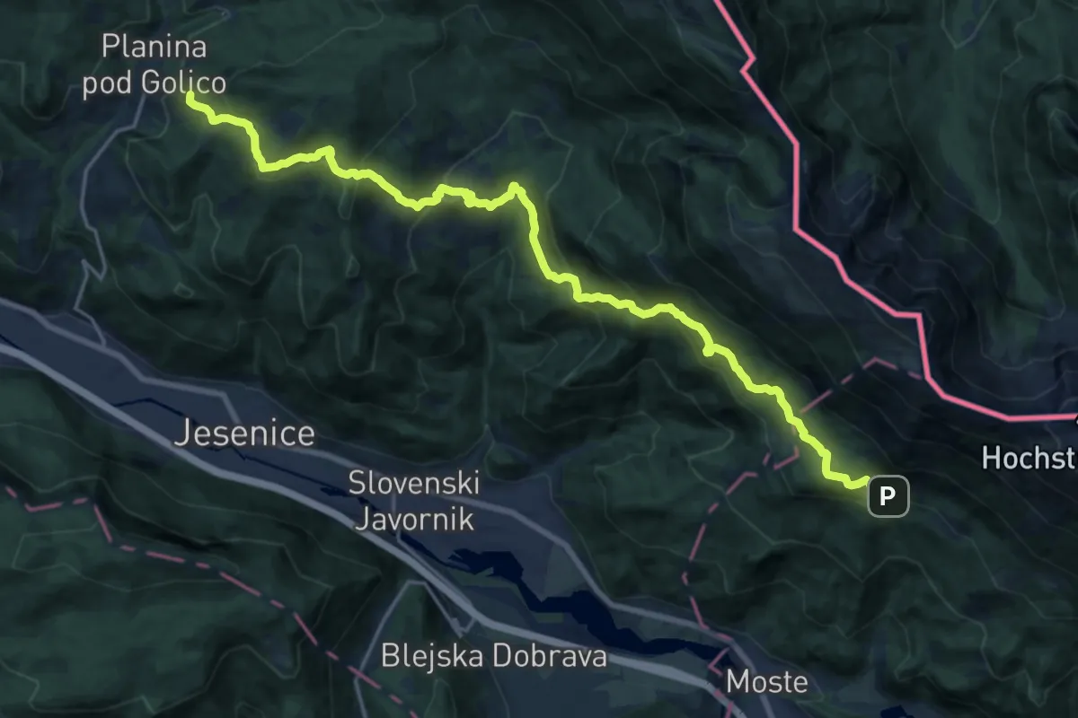
Hrpelje - Slavnik
20.1 km · ↑ 711 m · 6 h 17 min
Demanding · Summit
Hrušica-Dom Pristava-Valvasorjev dom
21.6 km · ↑ 1249 m · 7 h 48 min
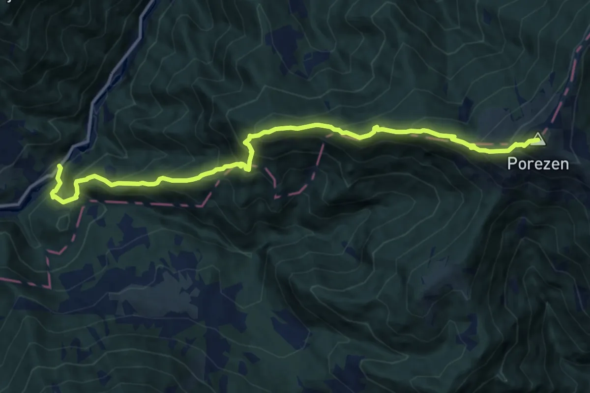
Demanding · Summit
Hudajužna - Porezen
12.1 km · ↑ 1266 m · 5 h 35 min
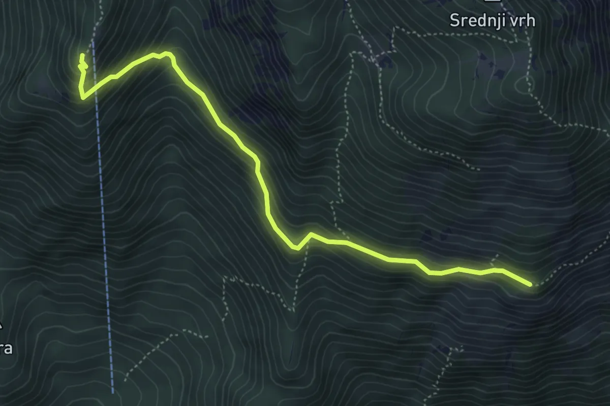
Medium · Cabin
Hudičev boršt - Kališče
5.4 km · ↑ 406 m · 2 h 9 min
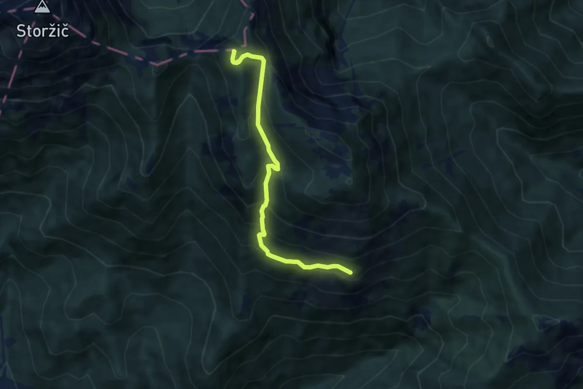
Medium · Summit
Hudičev boršt - M. Grintovec
6.5 km · ↑ 547 m · 2 h 44 min
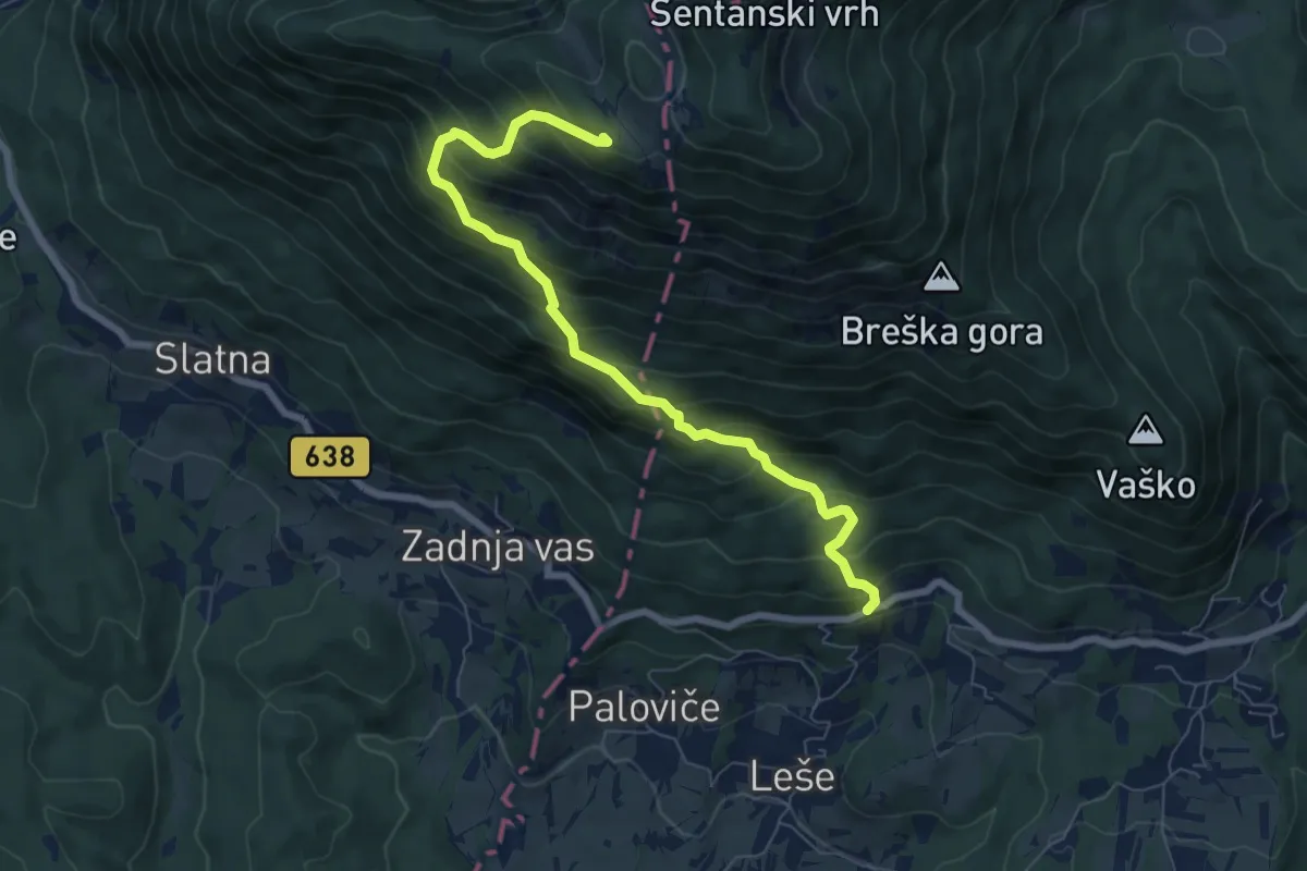
Demanding · Cabin
Hudi Graben - Koča na Dobrči
7.4 km · ↑ 840 m · 3 h 34 min
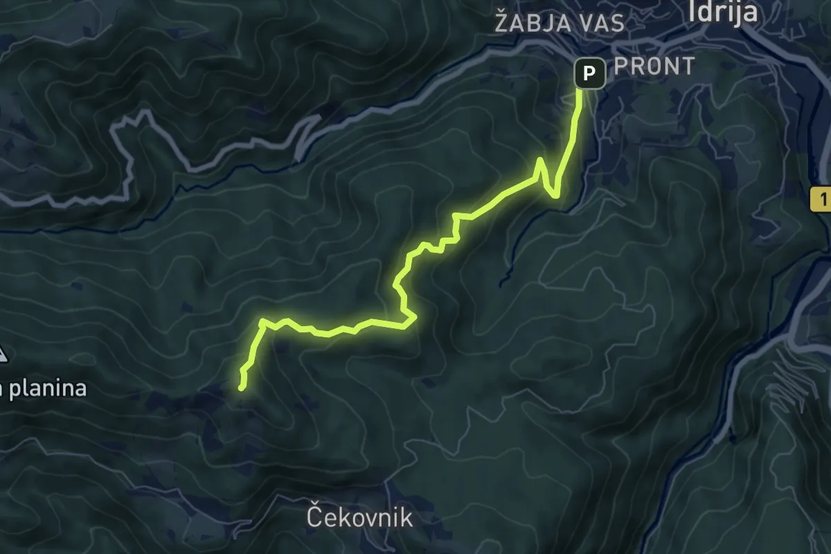
Medium · Summit
Idrija - Hleviška pl.
7.2 km · ↑ 593 m · 2 h 59 min
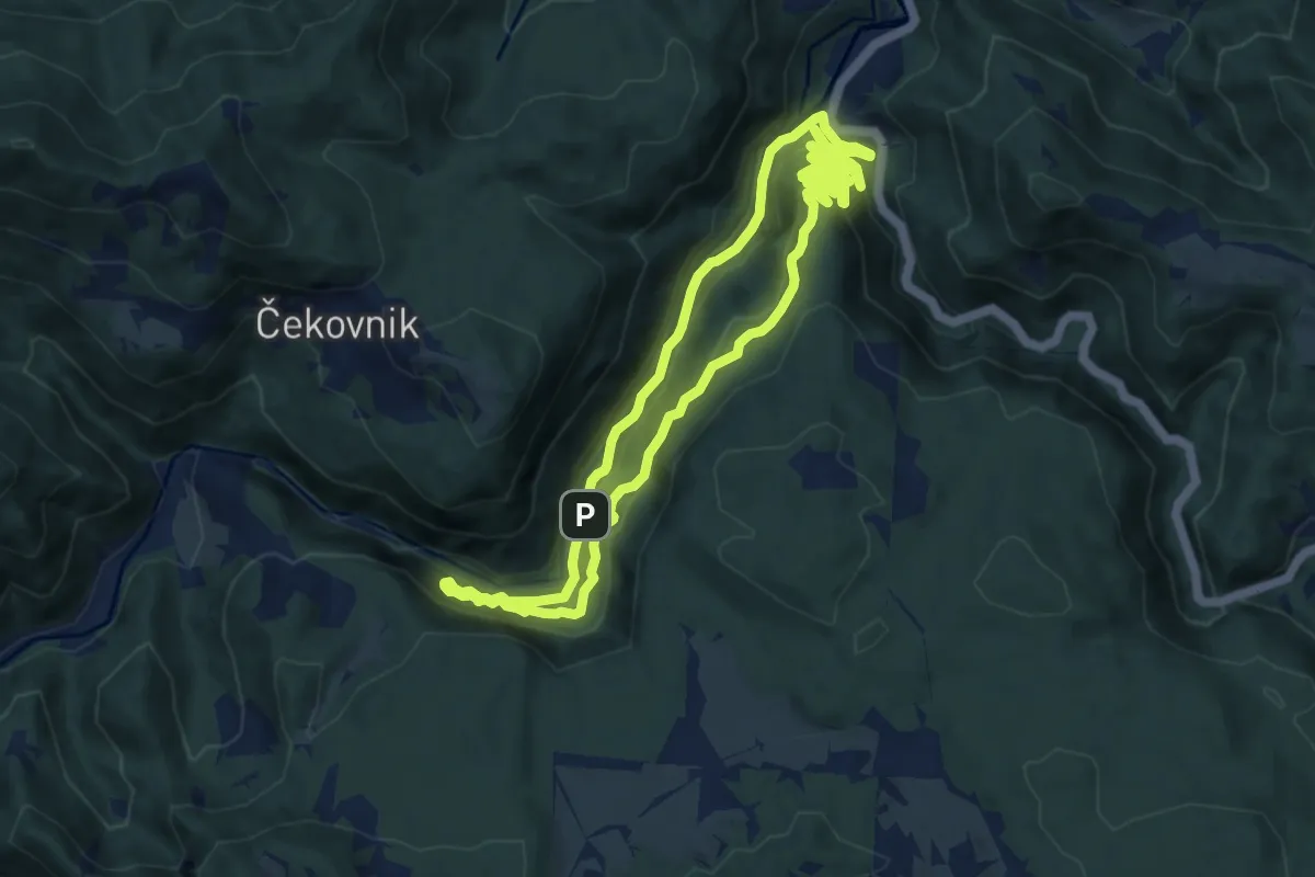
Expert · Trail
Idrjiski Feldban
9.3 km · ↑ 654 m · 3 h 45 min
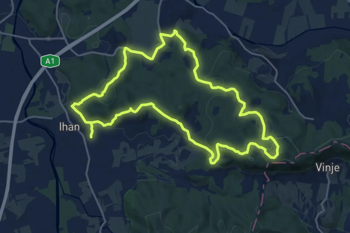
Medium · Summit
Ihanska krožna pot
11.6 km · ↑ 429 m · 3 h 50 min
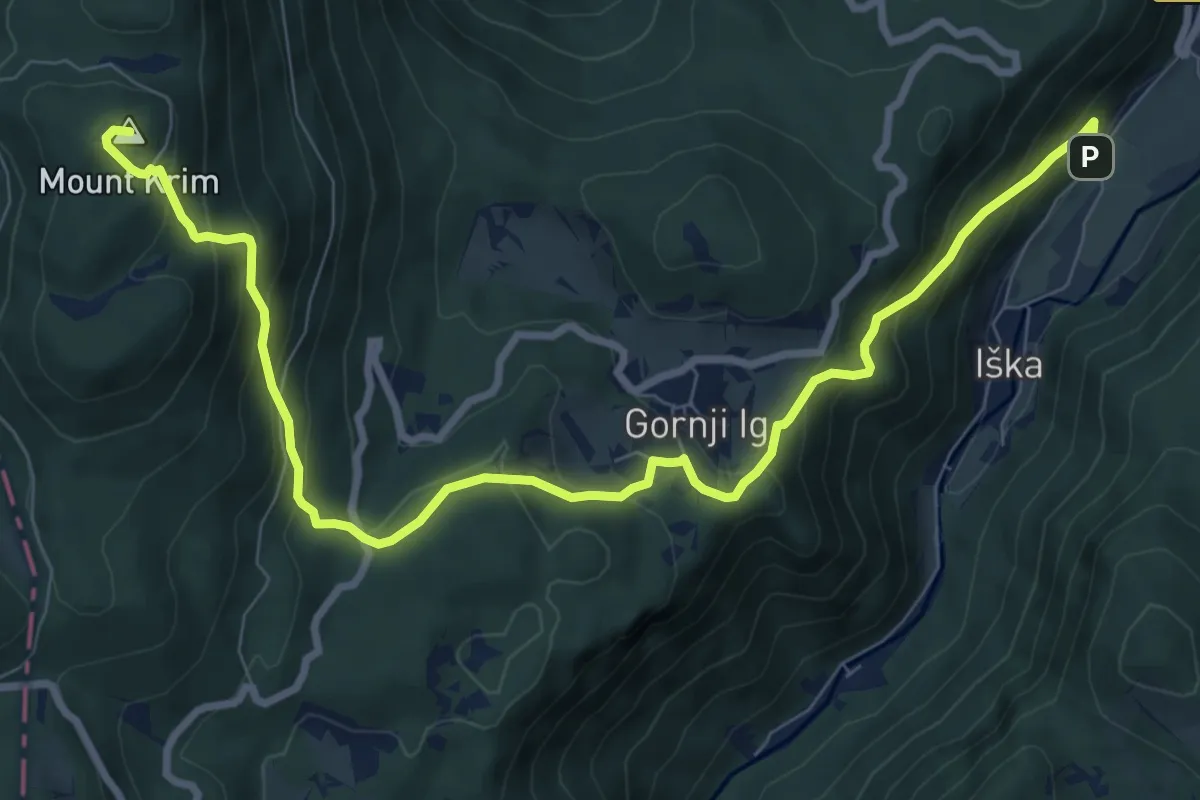
Medium · Summit
Iška - Gornji Ig - Krim
10.6 km · ↑ 769 m · 4 h 9 min
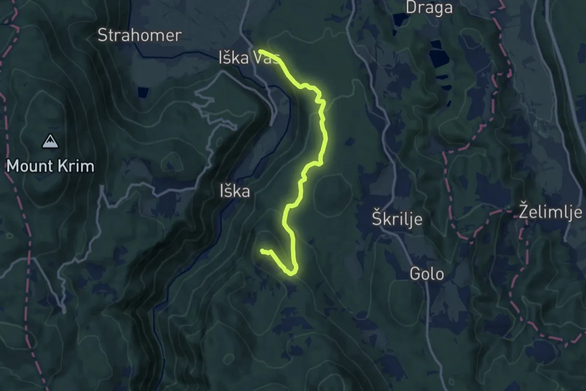
Medium · Summit
Iška vas - Stražar
10.5 km · ↑ 462 m · 3 h 29 min
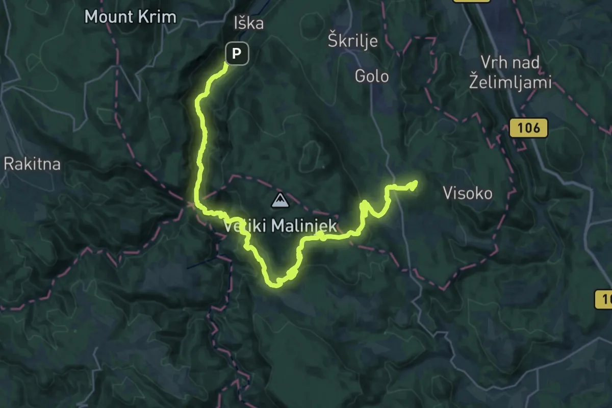
Demanding · Summit
Iški vintgar - Krvava Peč - Kurešček
31.1 km · ↑ 1424 m · 10 h 26 min
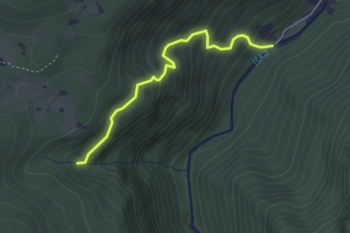
Medium · Trail
Iški vintgar - Krvavice
3.2 km · ↑ 366 m · 1 h 33 min
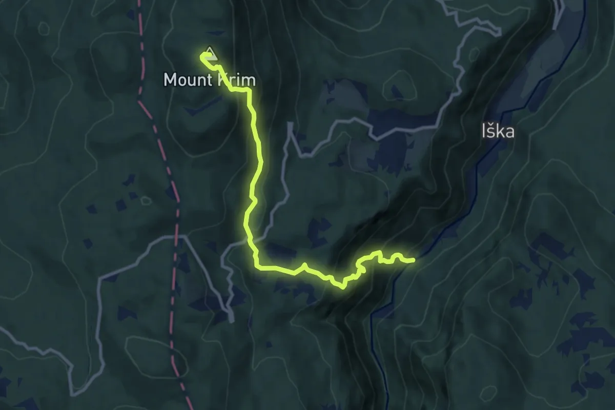
Medium · Summit
Iški vintgar - Orlek - Krim
9.6 km · ↑ 775 m · 3 h 56 min
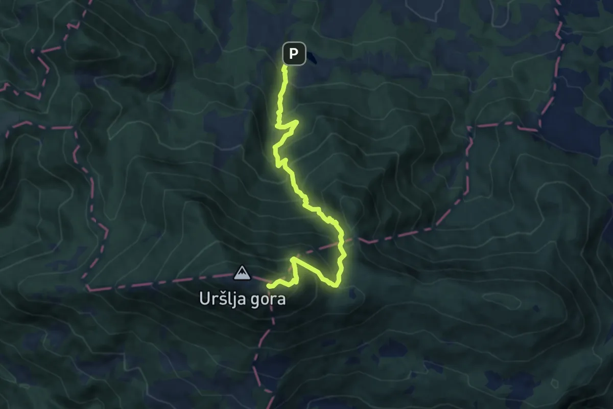
Demanding · Cabin
Ivarčko jezero - Uršlja gora
9.5 km · ↑ 1050 m · 4 h 31 min
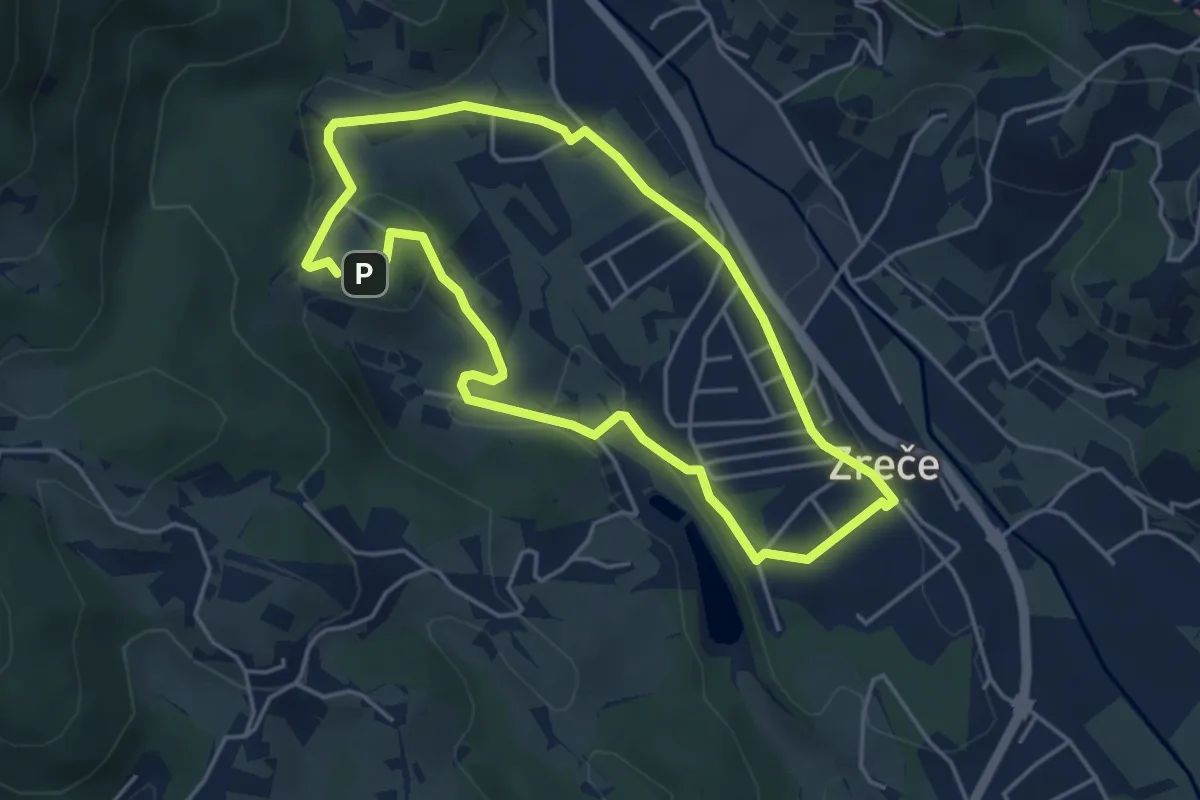
Easy · Trail
Izletniška kmetija Ančka
4.1 km · ↑ 79 m · 1 h 12 min
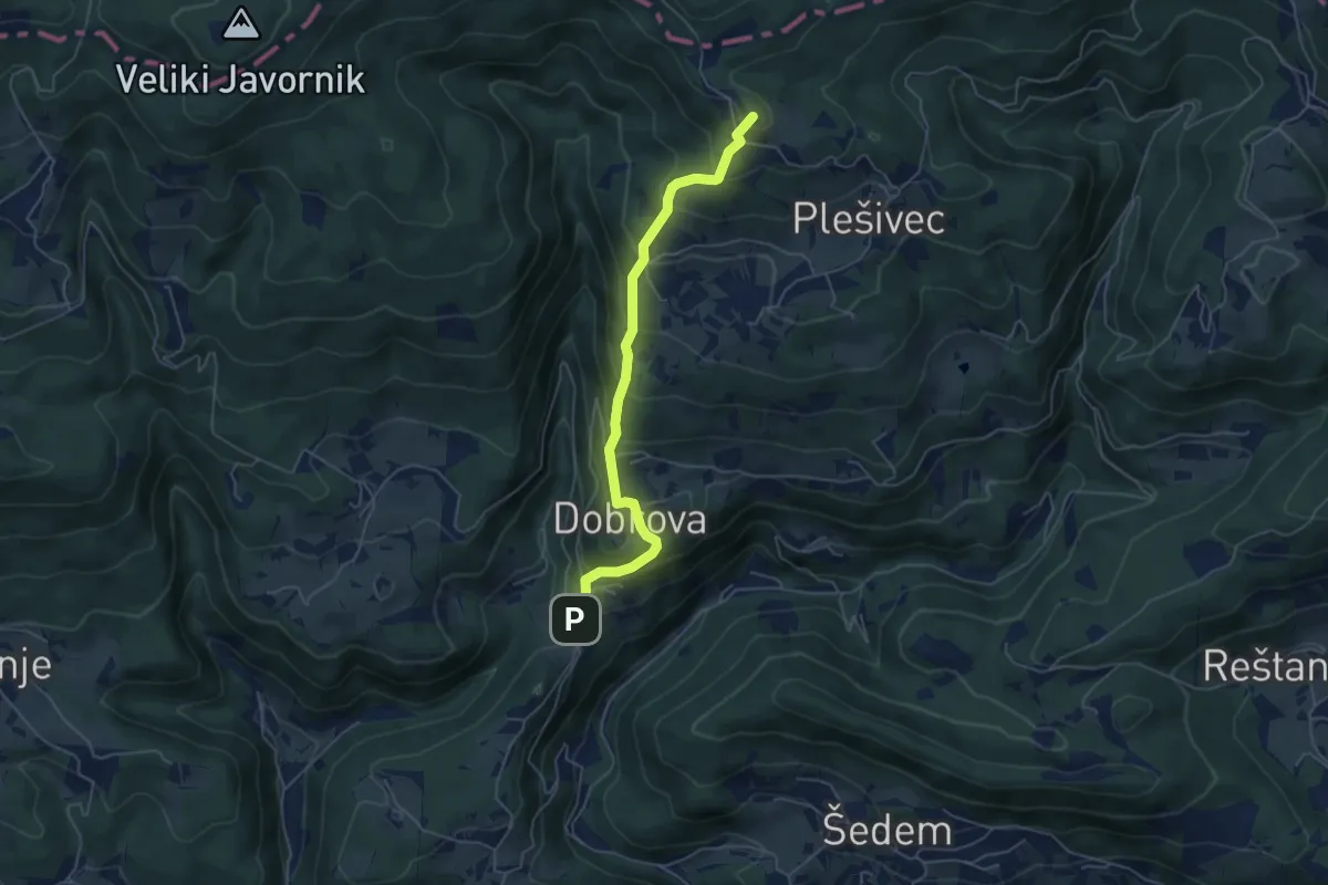
Medium · Summit
Jablance - Koča na Bohorju
5.1 km · ↑ 447 m · 2 h 11 min
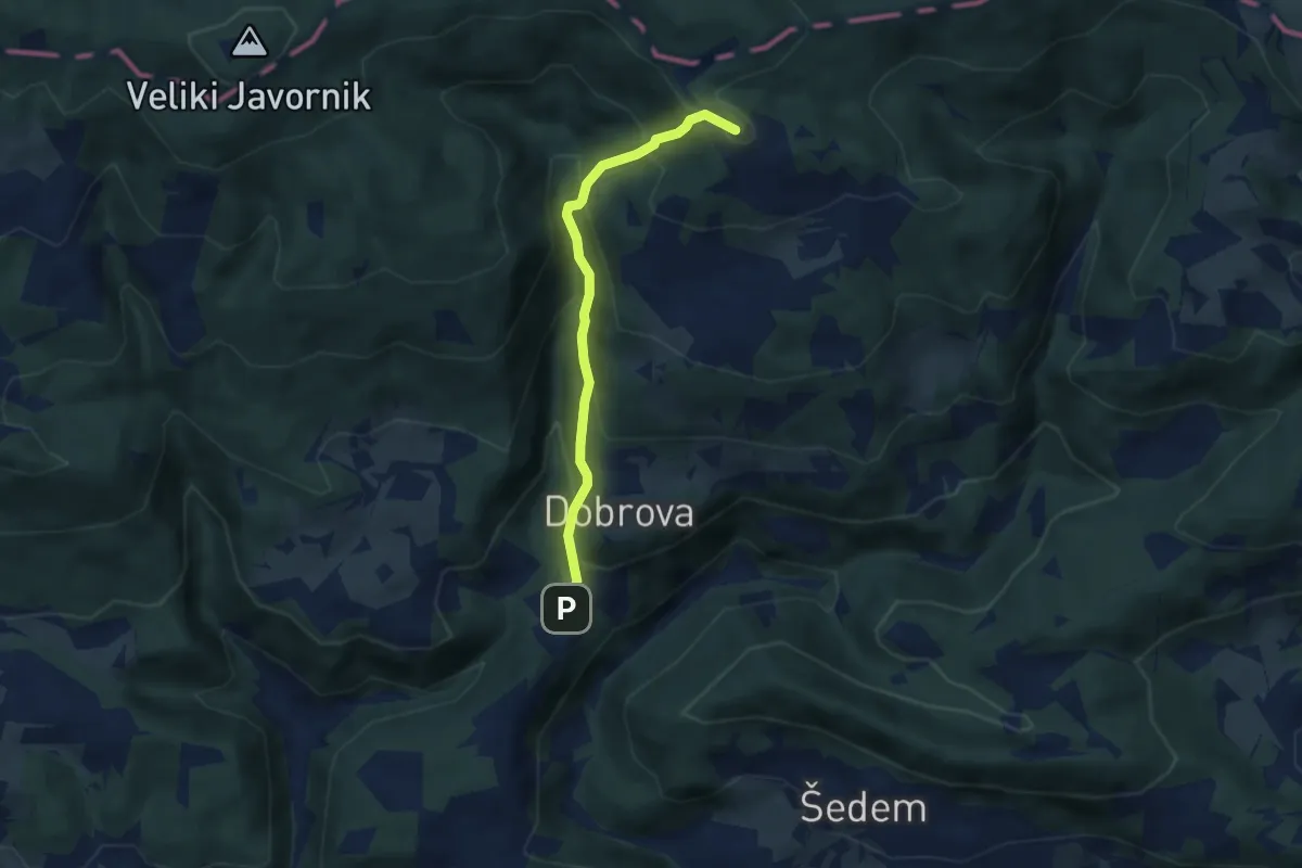
Medium · Summit
Jablance - Koča na Bohorju (grebenska)
5.2 km · ↑ 475 m · 2 h 15 min