Trails in Slovenia
1,594 hiking trails, each with its route, climb, walking time and grade.
All trails, page 9 of 34
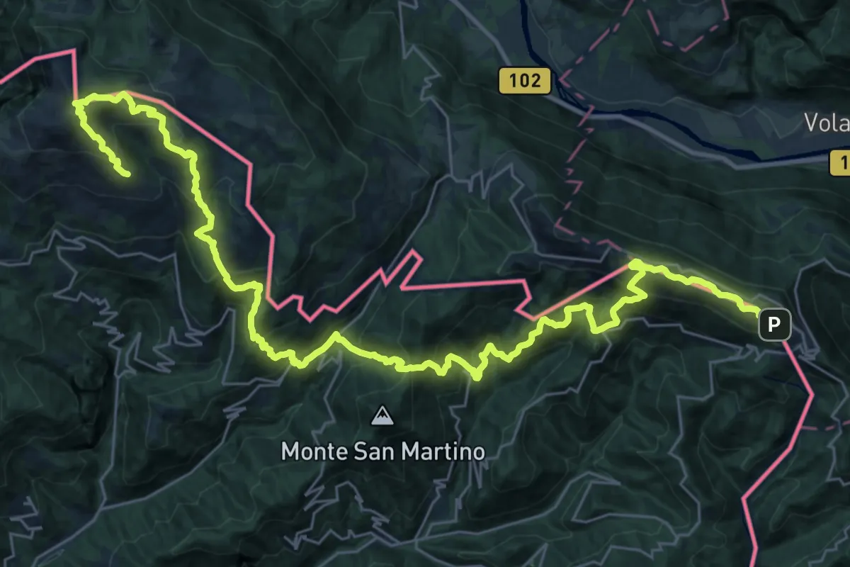
Demanding · Summit
JK14
19.8 km · ↑ 1670 m · 8 h 27 min
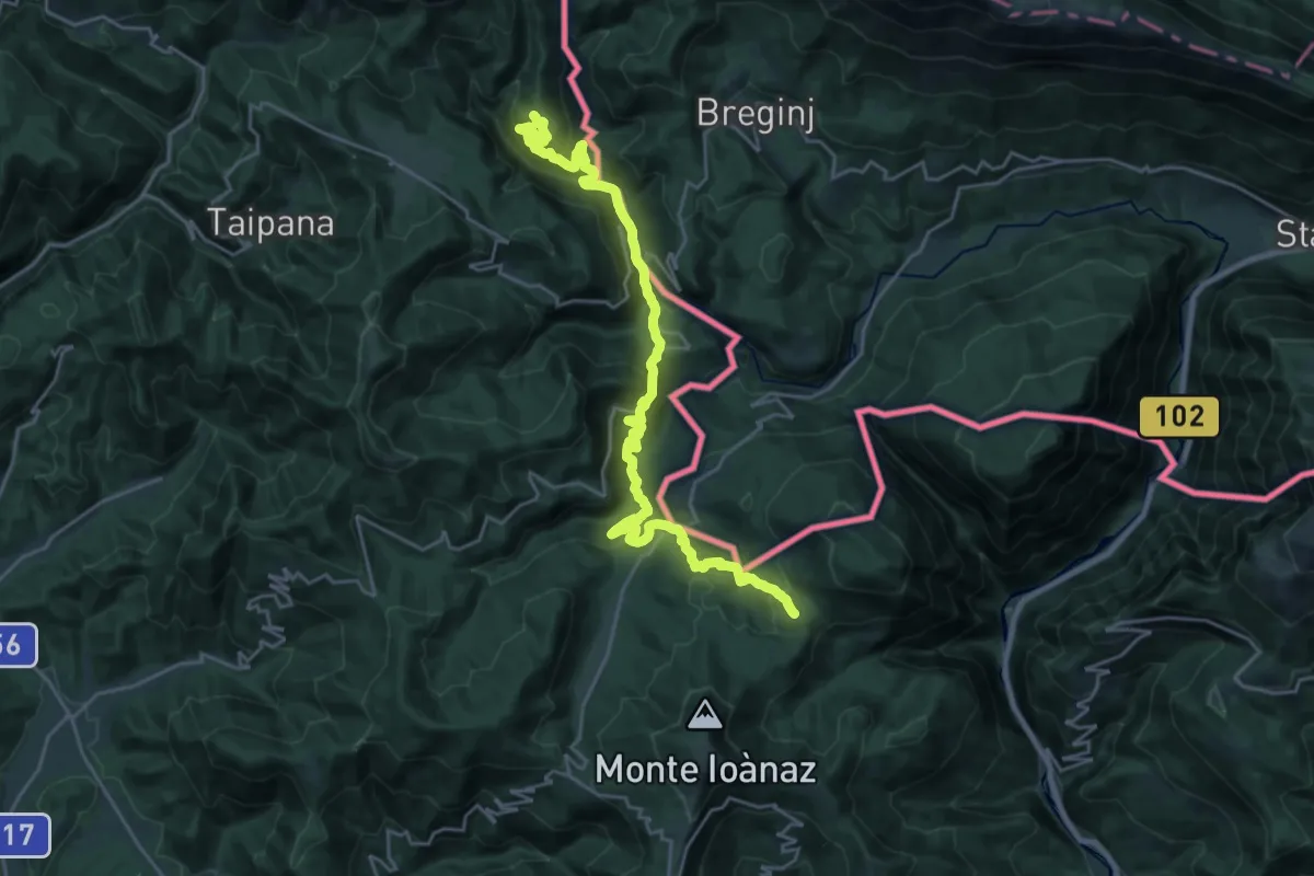
Medium · Summit
JK15
13.5 km · ↑ 773 m · 4 h 58 min
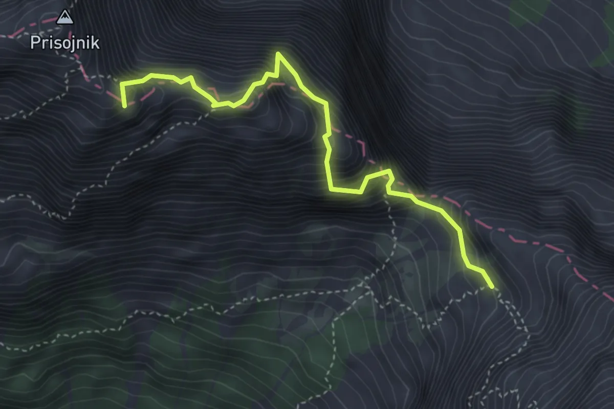
Expert · Summit
Jubilejna pot
3.9 km · ↑ 880 m · 2 h 50 min
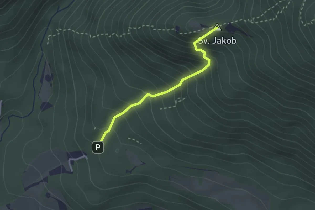
Medium · Summit
Juhantova pot
2.2 km · ↑ 323 m · 1 h 14 min
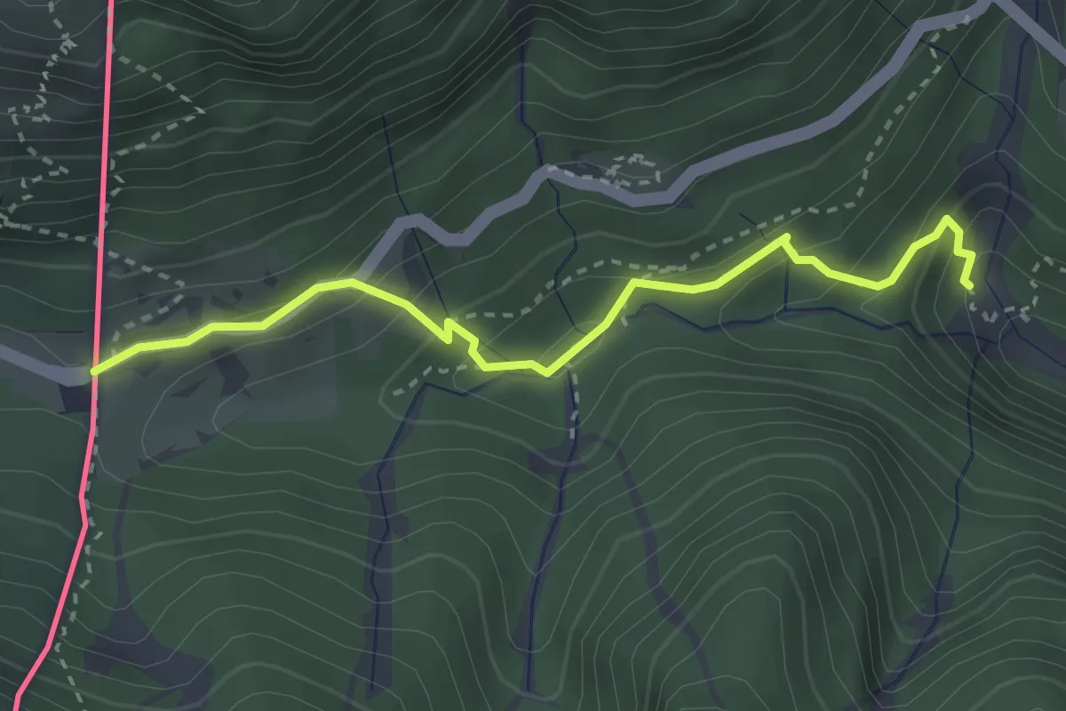
Medium · Trail
Juliana Trail
3.1 km · ↑ 234 m · 1 h 14 min
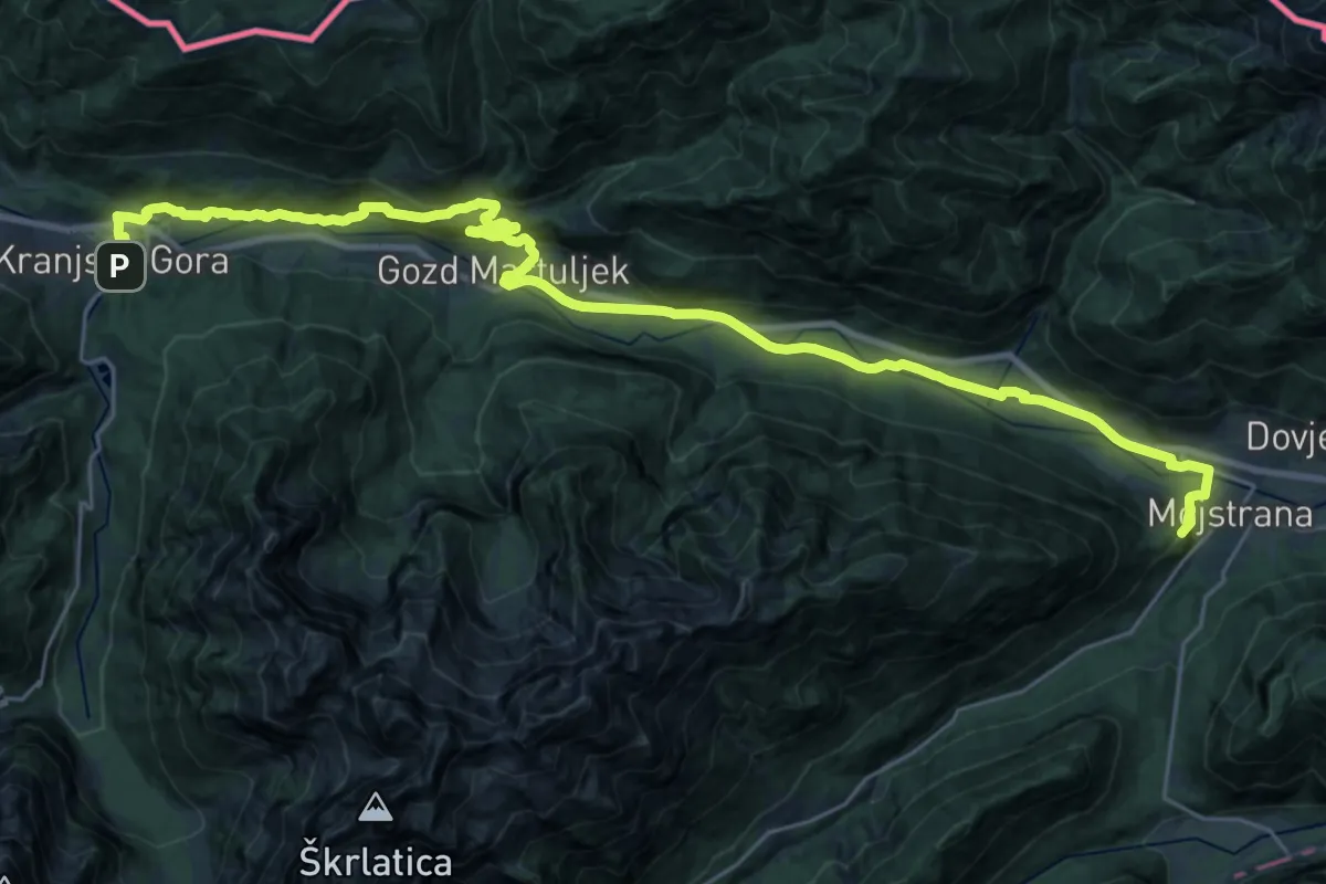
Demanding · Summit
Juliana Trail - stage 1: Kranjska Gora - Mojstrana
32.9 km · ↑ 1001 m · 9 h 57 min
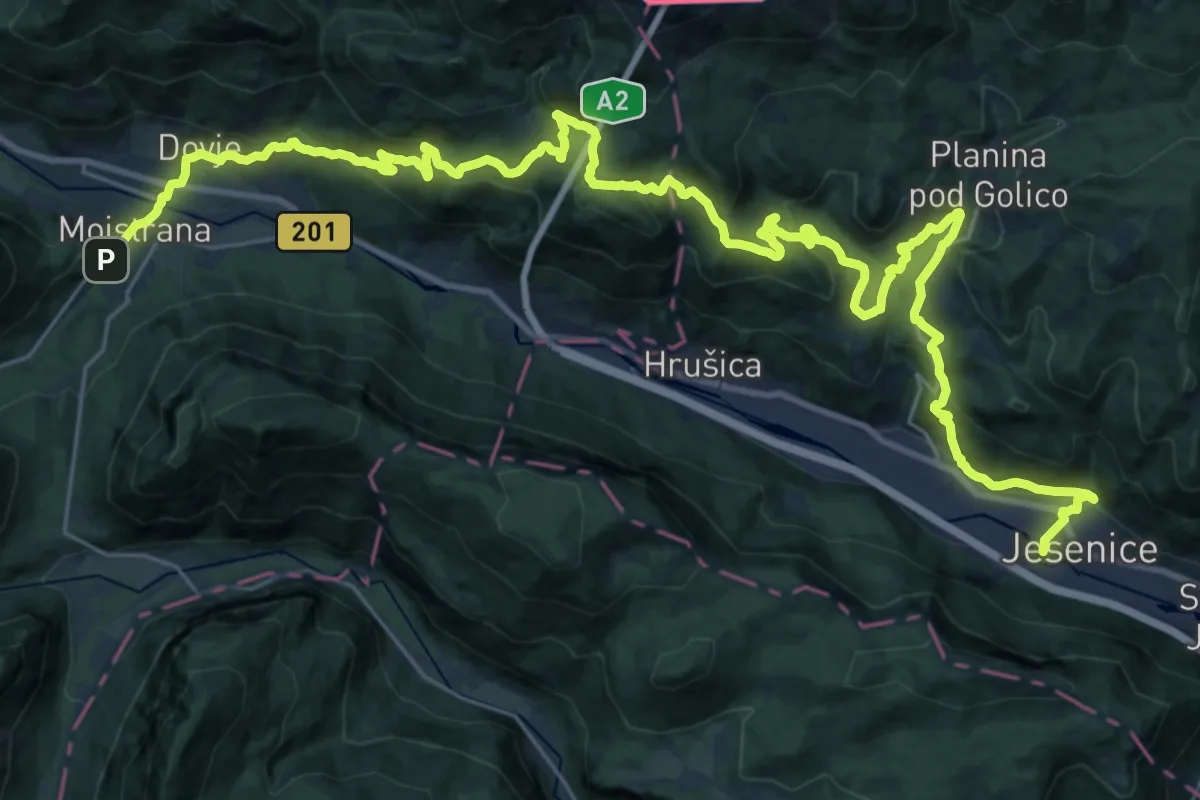
Demanding · Trail
Juliana Trail - stage 2: Mojstrana - Jesenice
20.3 km · ↑ 807 m · 6 h 52 min
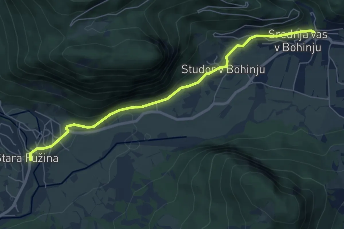
Easy · Trail
Juliana Trail Stage 6
5.8 km · ↑ 261 m · 1 h 56 min
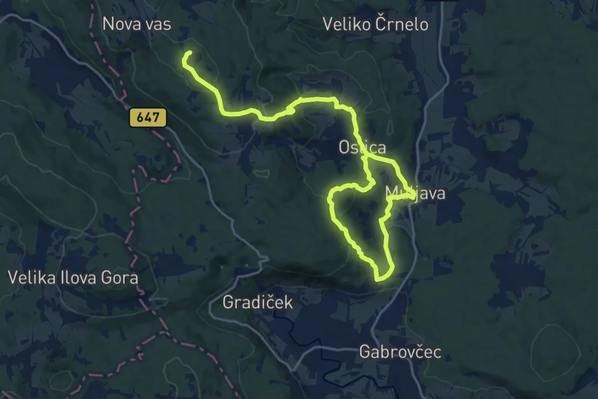
Demanding · Summit
Jurčičeva pot
20.4 km · ↑ 714 m · 6 h 22 min
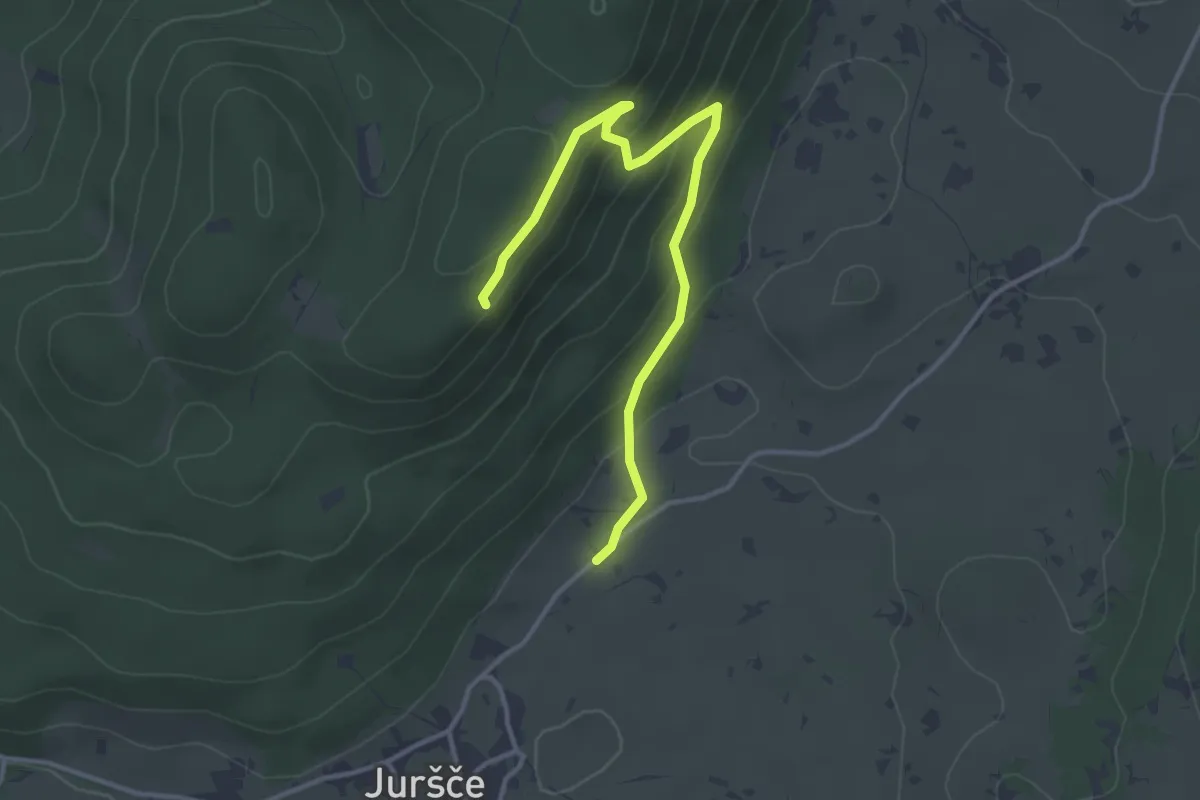
Easy · Summit
Juršče - Bele stene (vzh. pot)
3.9 km · ↑ 181 m · 1 h 18 min
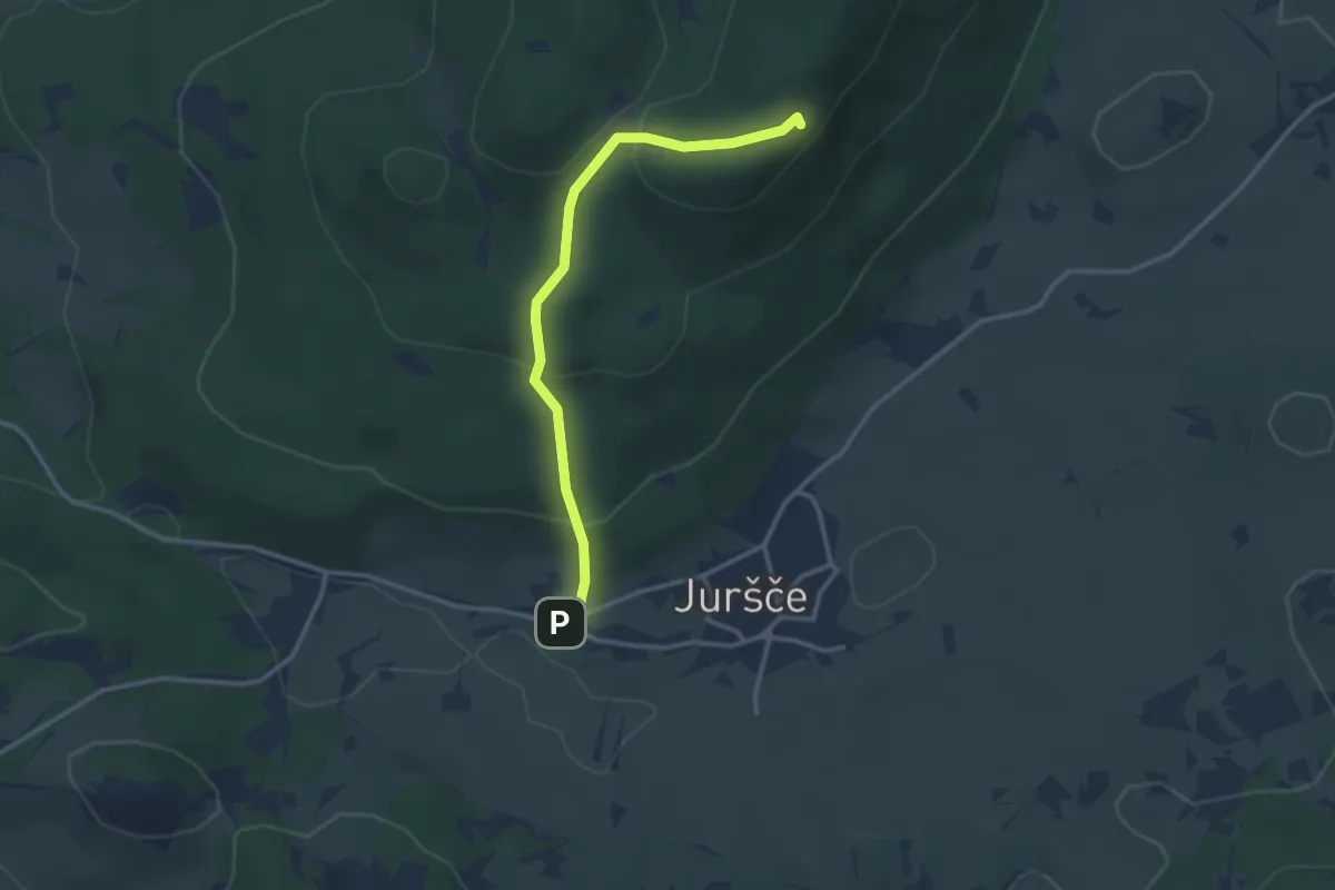
Easy · Summit
Juršče - Bele stene (zah. pot)
3.0 km · ↑ 171 m · 1 h 5 min
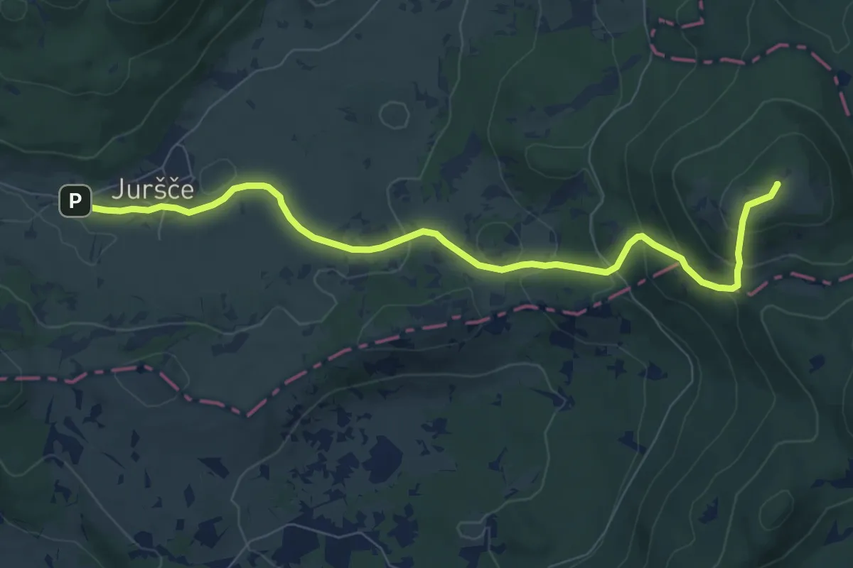
Medium · Summit
Juršče - Kršičevec
8.4 km · ↑ 378 m · 2 h 48 min
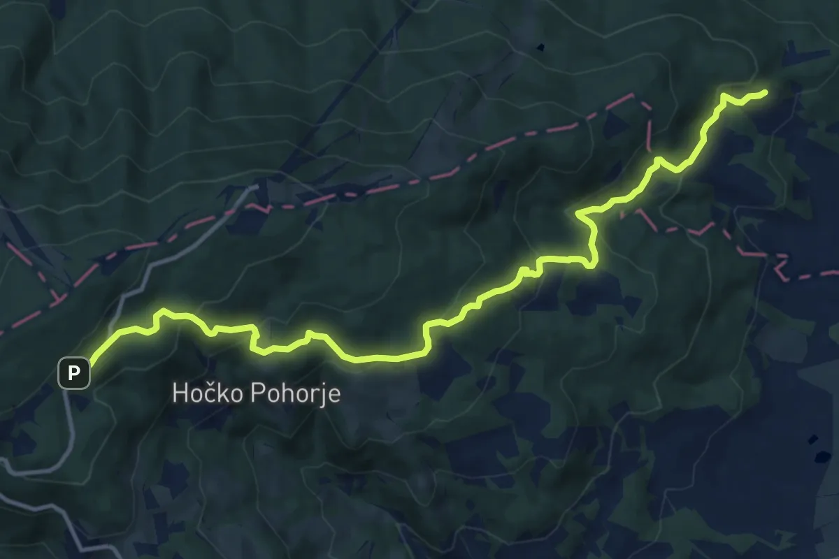
Medium · Trail
Južna pot
13.6 km · ↑ 687 m · 4 h 41 min
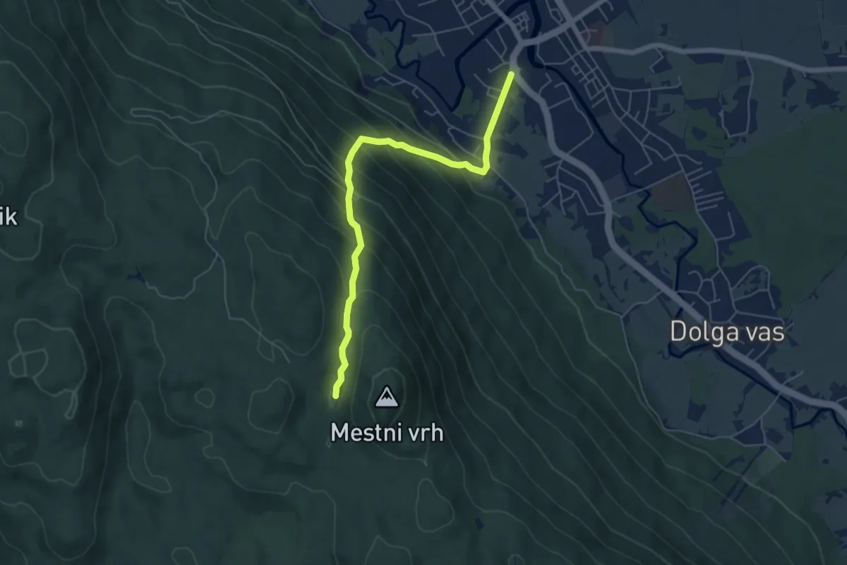
Medium · Cabin
Kalanova pot
5.8 km · ↑ 477 m · 2 h 24 min
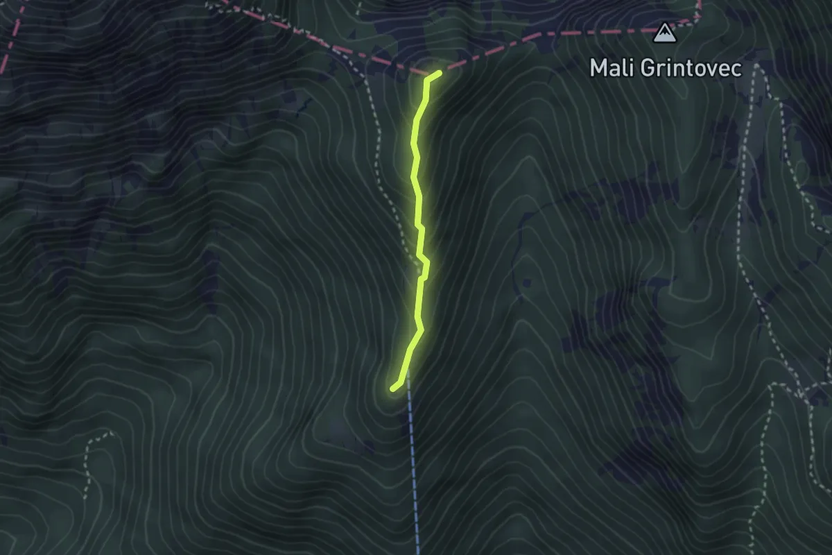
Demanding · Summit
Kališče - Bašeljski vrh
2.0 km · ↑ 199 m · 55 min
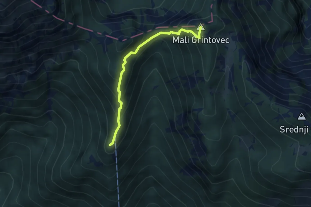
Demanding · Summit
Kališče - Mali Grintovec
3.5 km · ↑ 382 m · 1 h 39 min
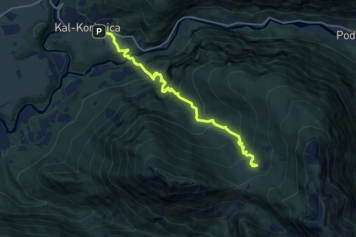
Demanding · Trail
Kal-Koritnica - Planina Golobar
9.7 km · ↑ 916 m · 4 h 16 min
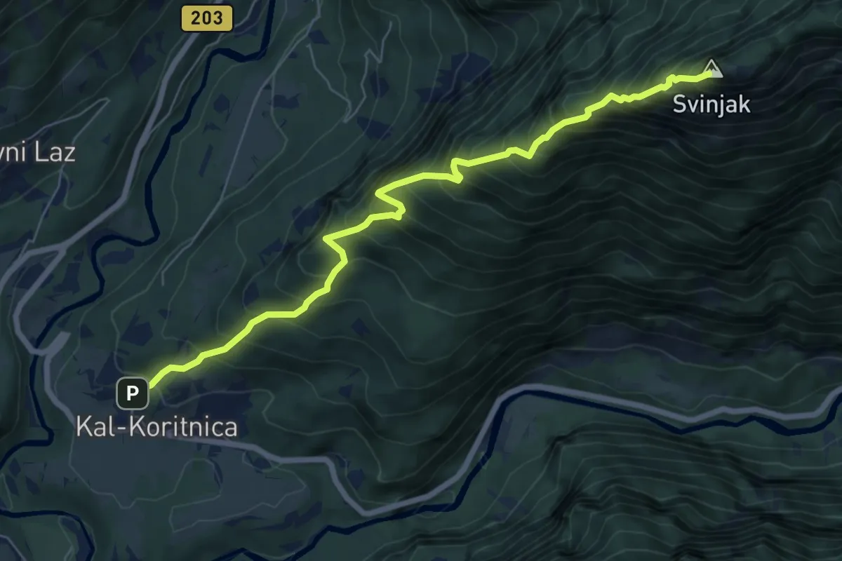
Demanding · Summit
Kal-Koritnica - Svinjak
7.1 km · ↑ 1421 m · 4 h 45 min
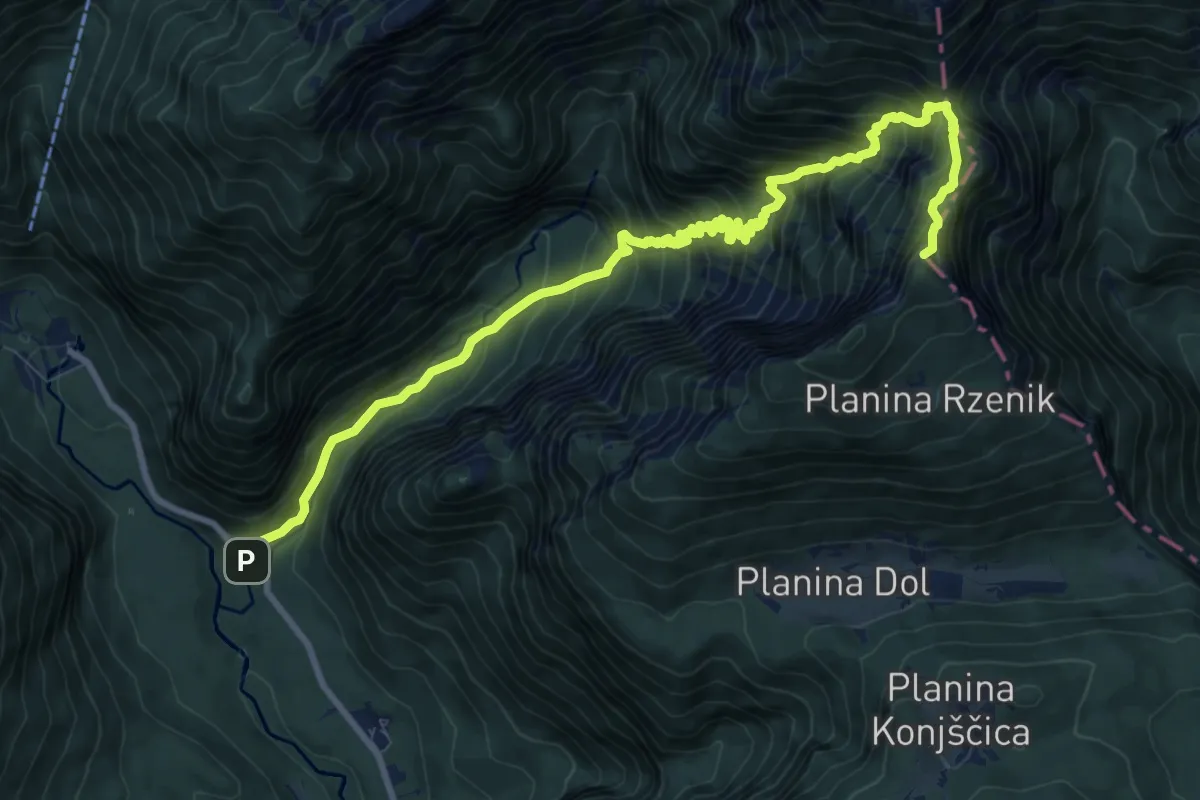
Expert · Summit
Kam. Bistrica - Presedljaj - Konj
11.7 km · ↑ 1214 m · 5 h 23 min
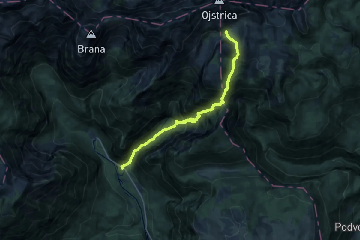
Demanding · Trail
Kam. Bistrica - Presedljaj - Korošica
15.3 km · ↑ 1543 m · 6 h 58 min
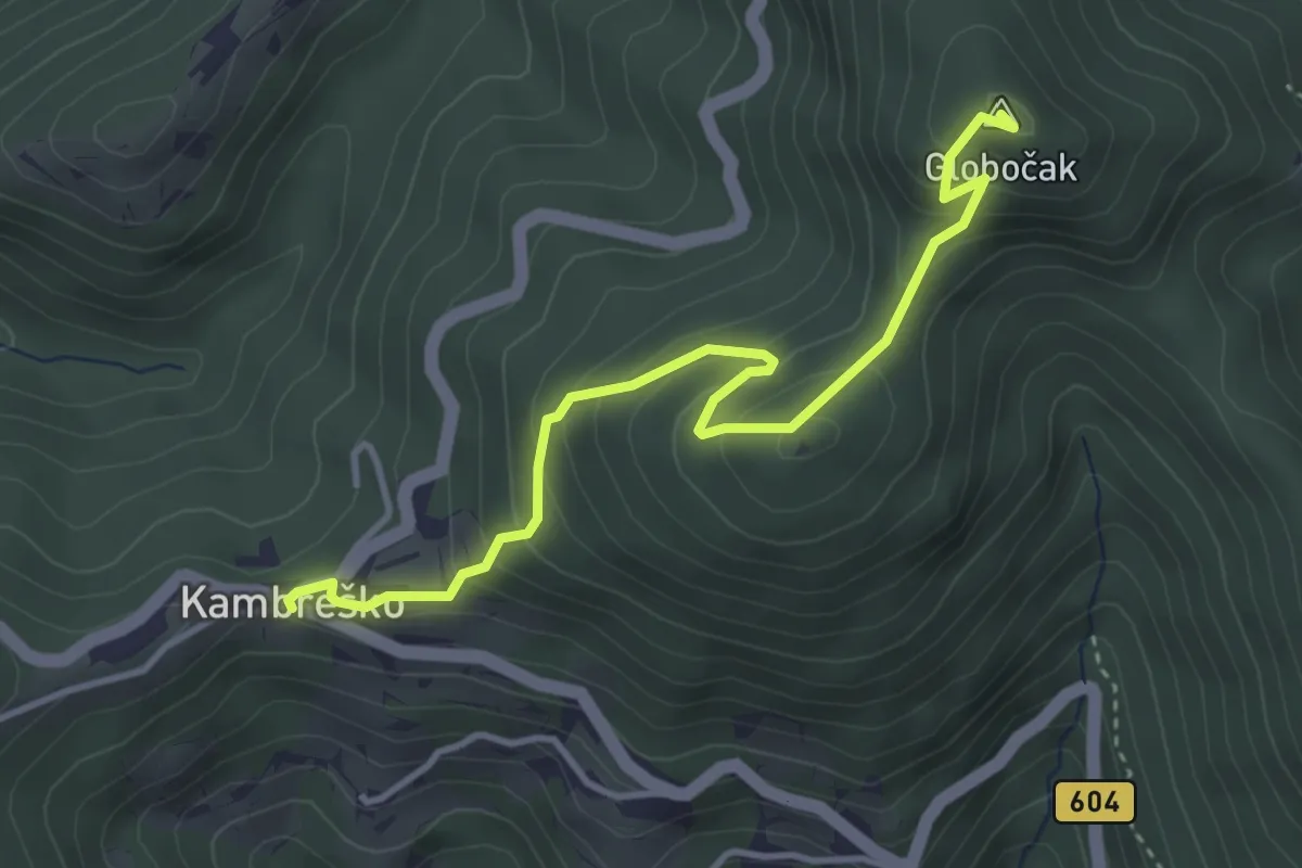
Medium · Summit
Kambreško - Globočak
3.9 km · ↑ 344 m · 1 h 40 min
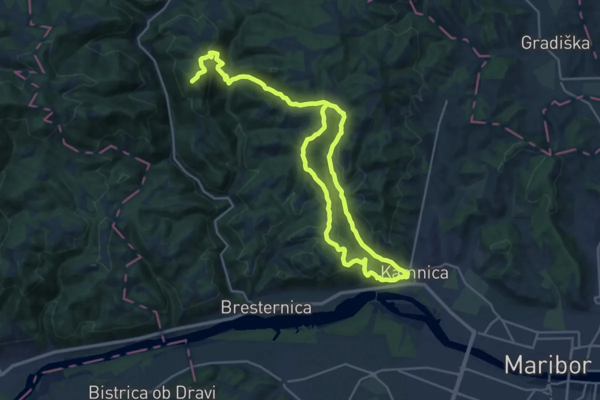
Demanding · Summit
Kamnica - Tojzlov vrh
26.5 km · ↑ 1098 m · 8 h 37 min
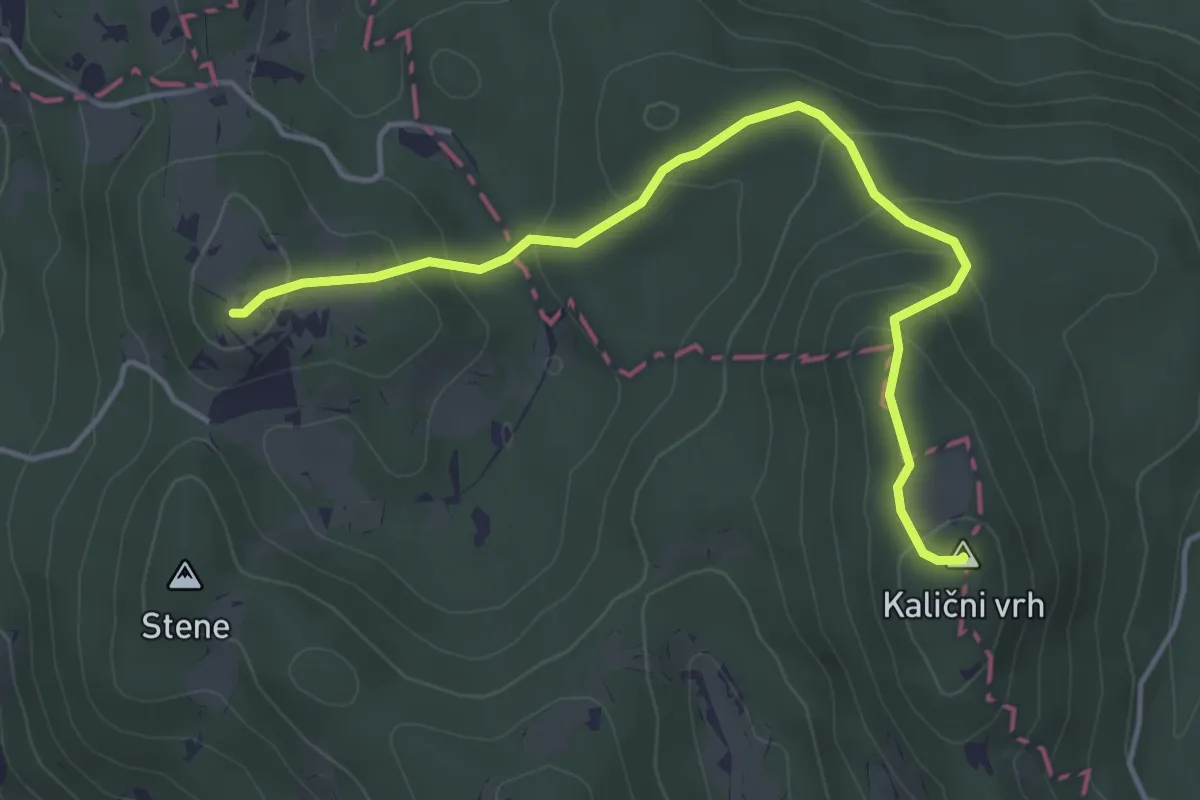
Easy · Summit
Kamni grič - Kalični vrh
4.6 km · ↑ 207 m · 1 h 32 min
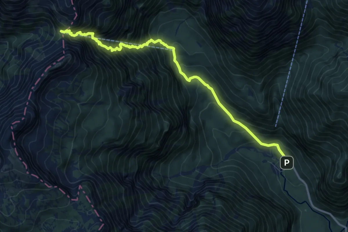
Demanding · Cabin
Kamniška Bistrica - Cojzova koča
9.8 km · ↑ 1265 m · 5 h 3 min
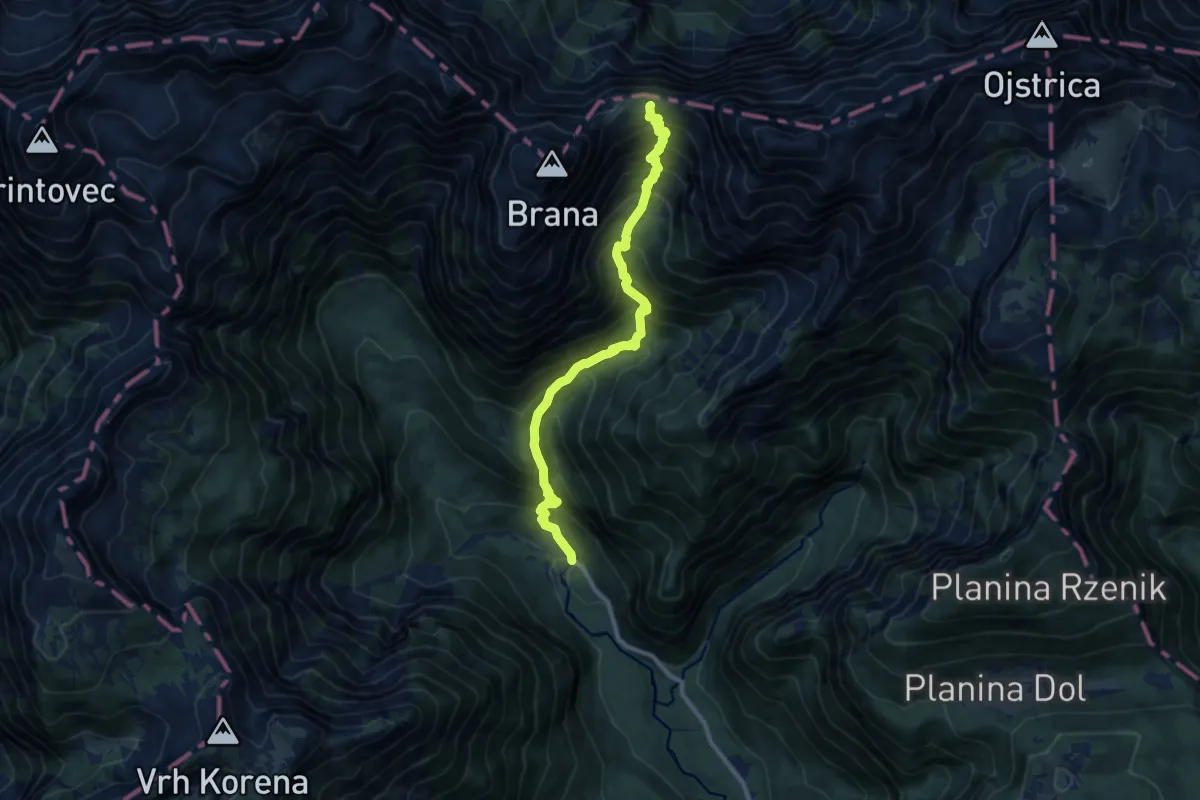
Demanding · Cabin
Kamniška Bistrica - Kamniško sedlo
10.3 km · ↑ 1289 m · 5 h 13 min
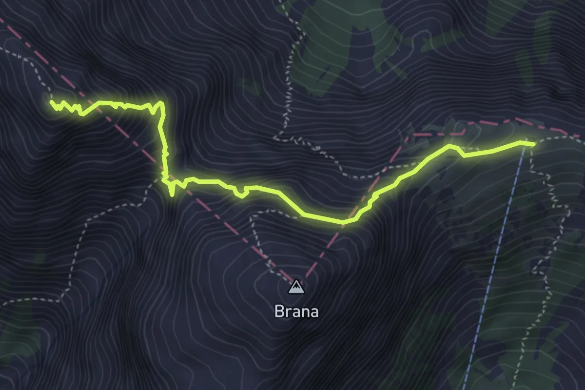
Expert · Summit
Kamniško sedlo - Turski žleb
4.5 km · ↑ 651 m · 2 h 29 min
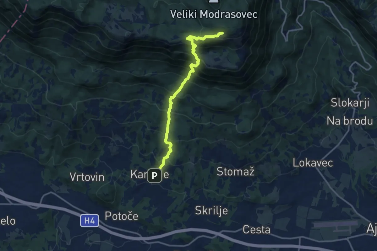
Demanding · Cabin
Kamnje - Čaven
10.2 km · ↑ 1035 m · 4 h 40 min
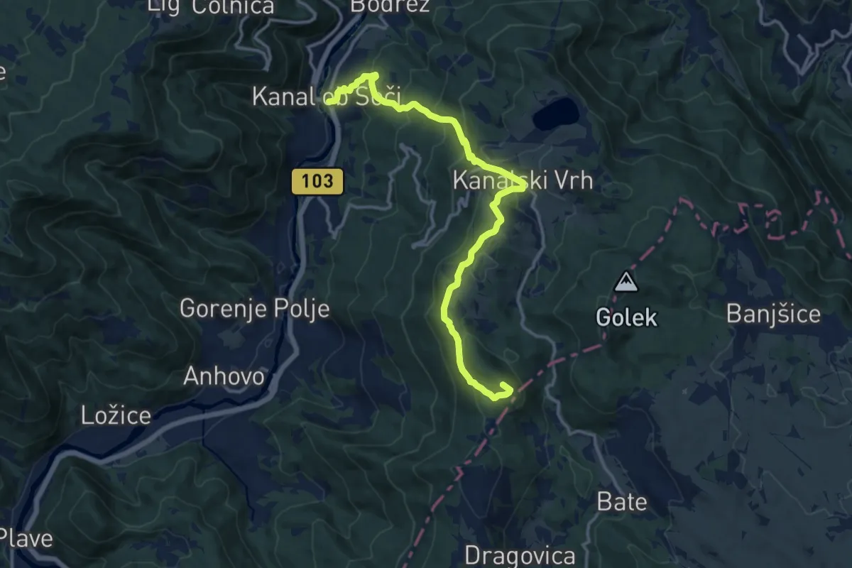
Medium · Summit
Kanal - Jelenk
13.5 km · ↑ 742 m · 4 h 48 min
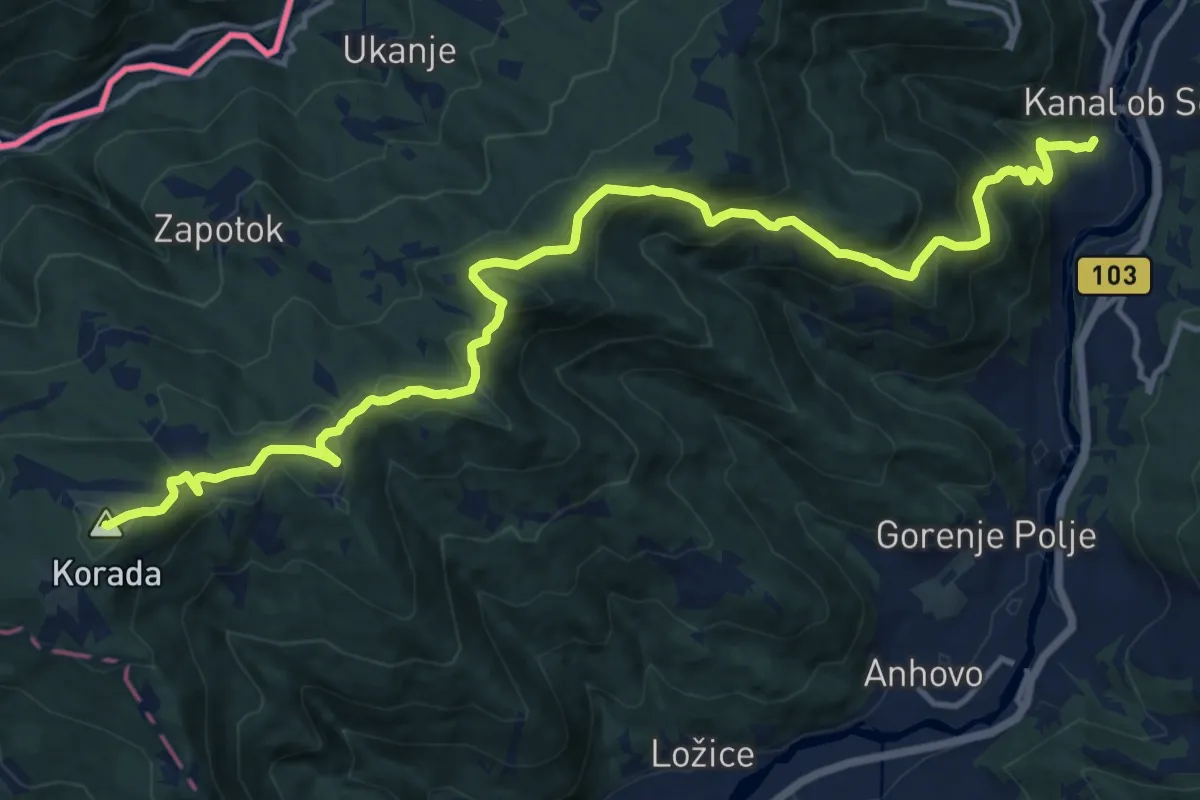
Demanding · Summit
Kanal - Korada
16.7 km · ↑ 886 m · 5 h 51 min
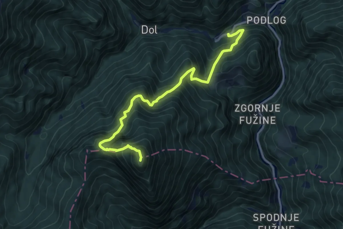
Demanding · Summit
Kanonir - Kozji vrh
8.7 km · ↑ 983 m · 4 h 10 min
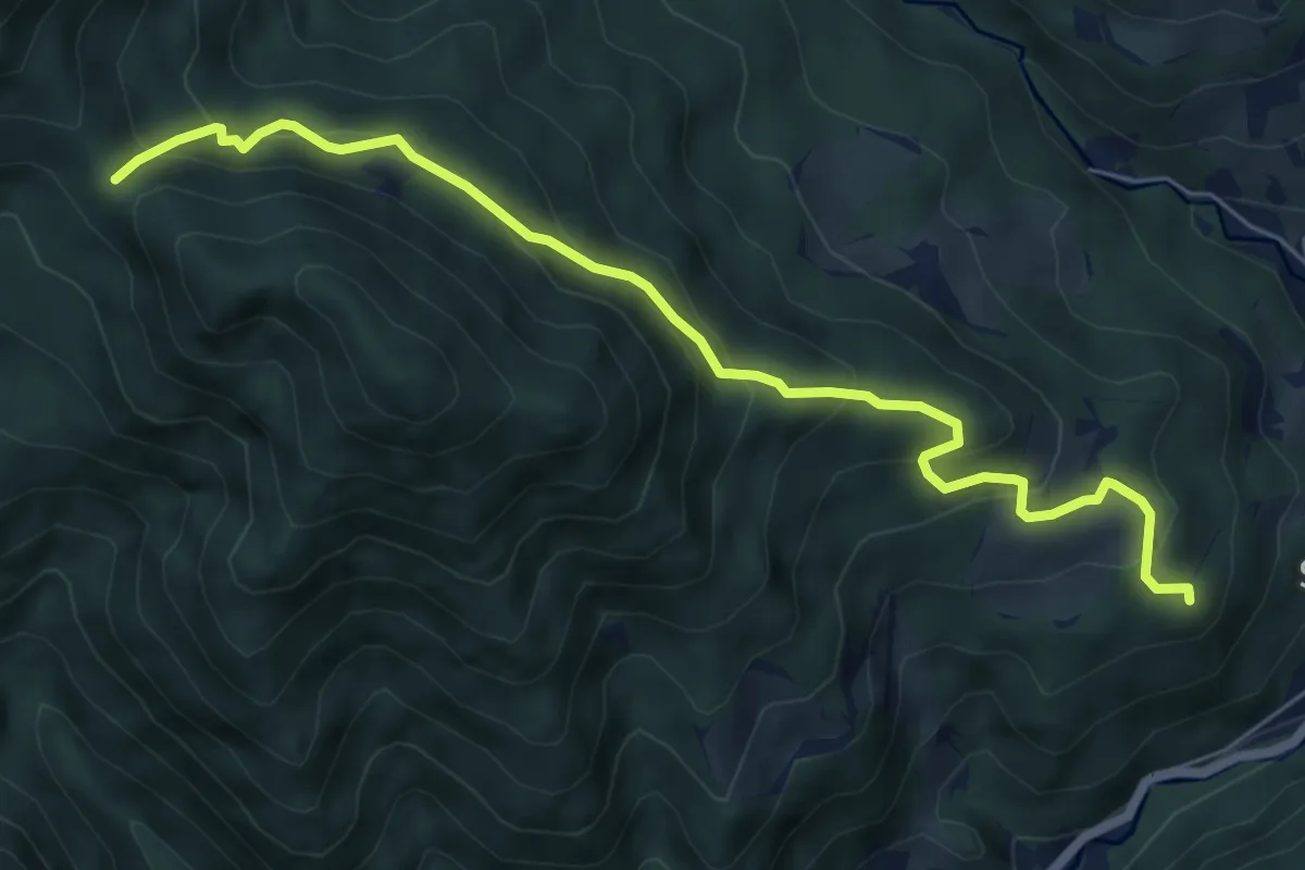
Medium · Summit
Kanonir - Močnikovo sedlo
6.7 km · ↑ 463 m · 2 h 35 min
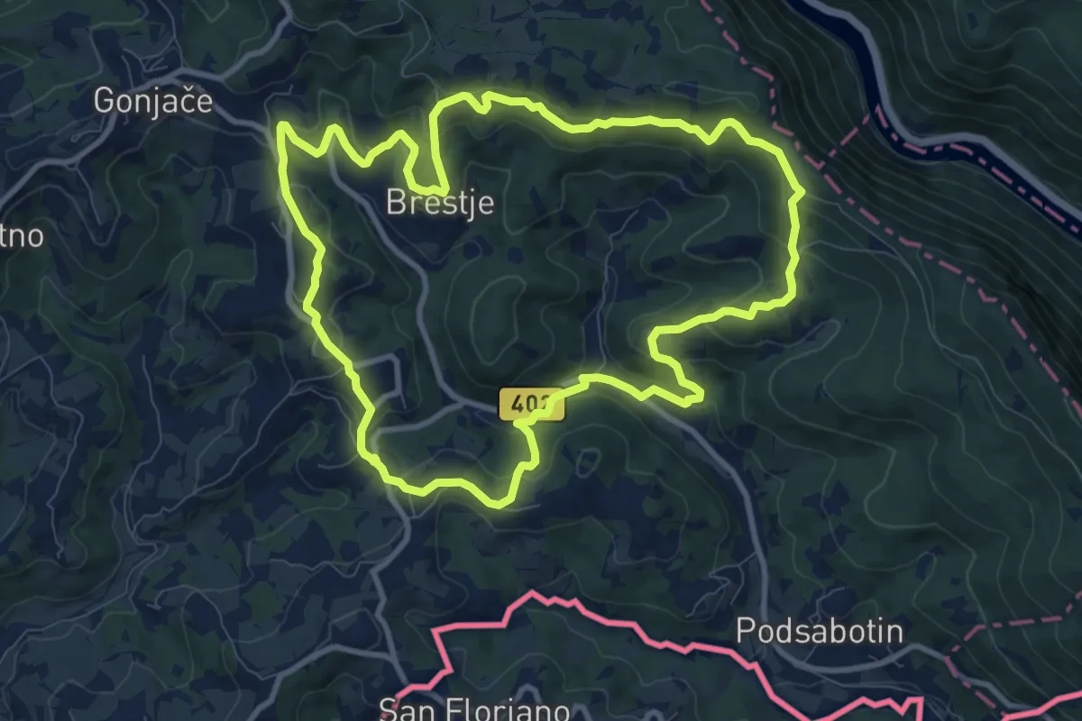
Medium · Summit
Karnjuka
10.0 km · ↑ 390 m · 3 h 20 min
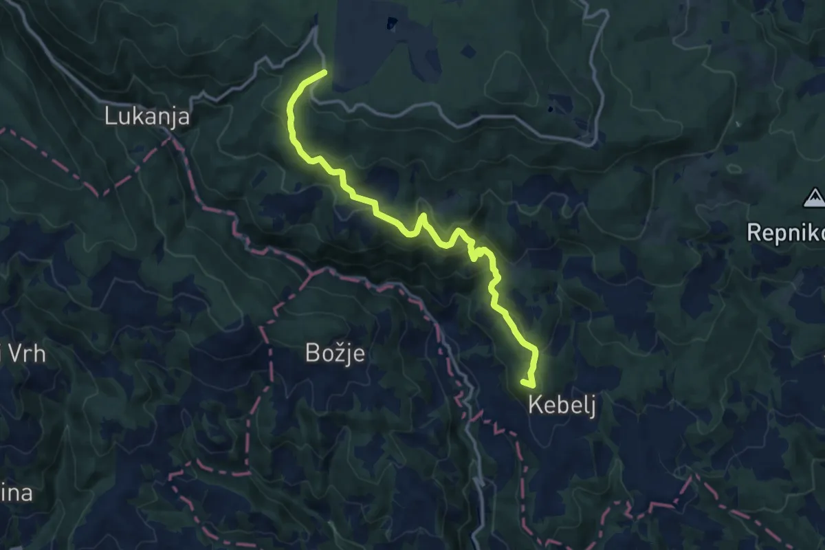
Medium · Summit
Kebeljska transverzala
12.6 km · ↑ 669 m · 4 h 25 min
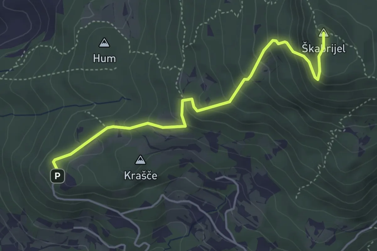
Medium · Summit
Kekec - Škabrijel
4.5 km · ↑ 335 m · 1 h 47 min
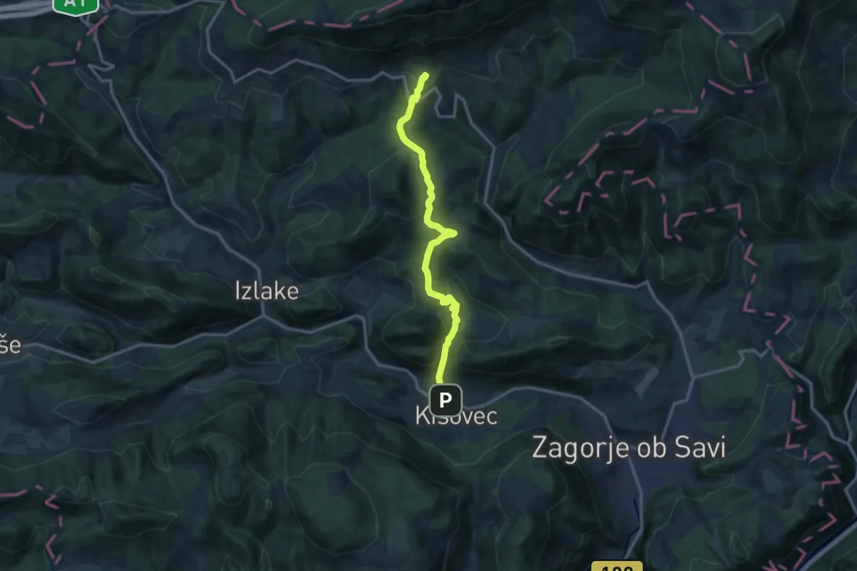
Medium · Summit
Kisovec - Dom na Čemšeniški pl.
11.9 km · ↑ 497 m · 3 h 53 min
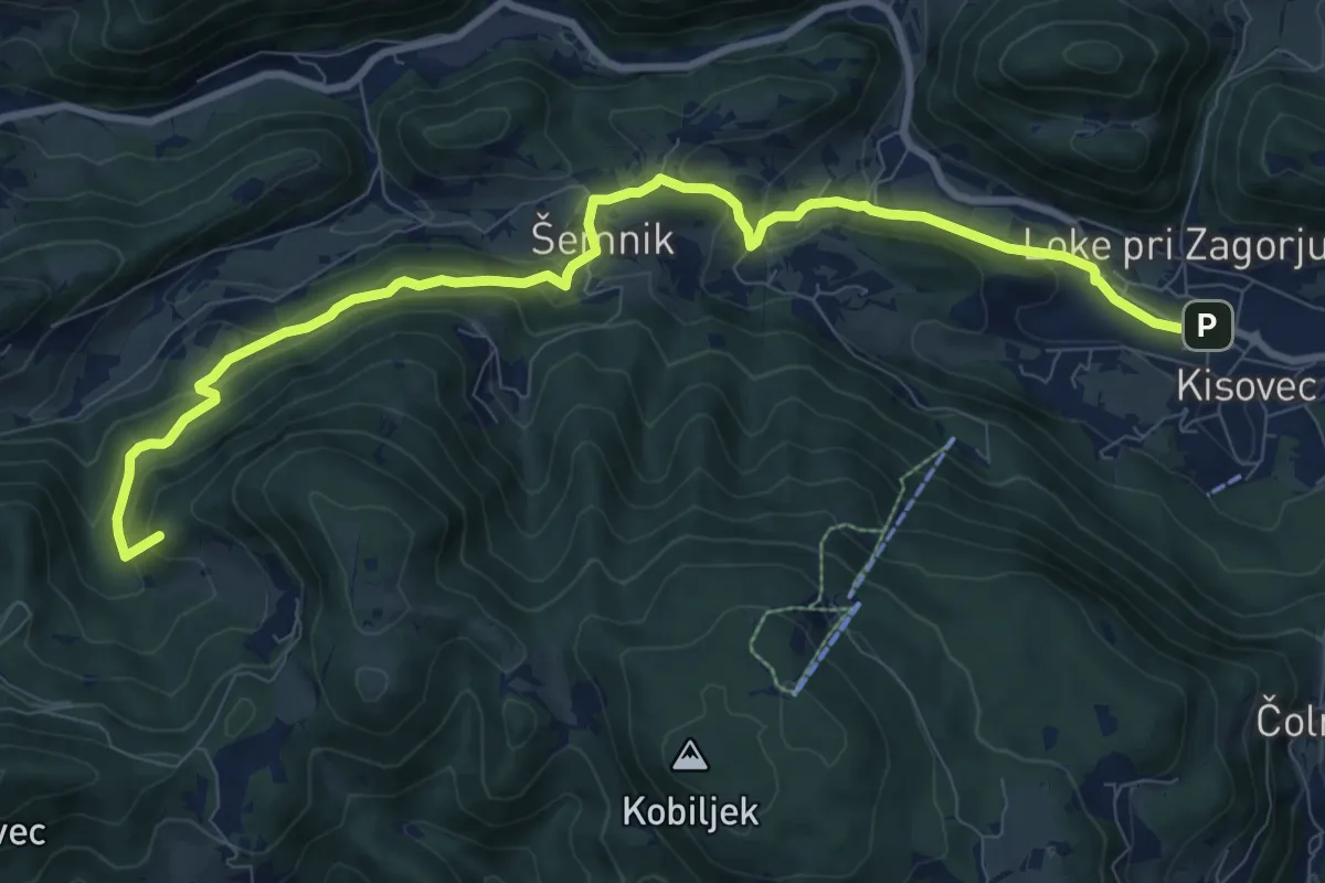
Medium · Summit
Kisovec - Šemnik - Zasavska gora
10.7 km · ↑ 562 m · 3 h 44 min
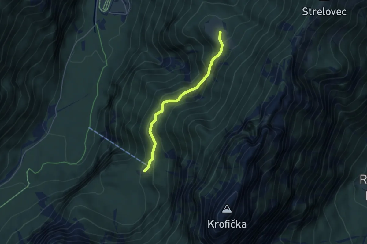
Medium · Cabin
Klemenča jama - Plesnikova planina
3.8 km · ↑ 348 m · 1 h 39 min
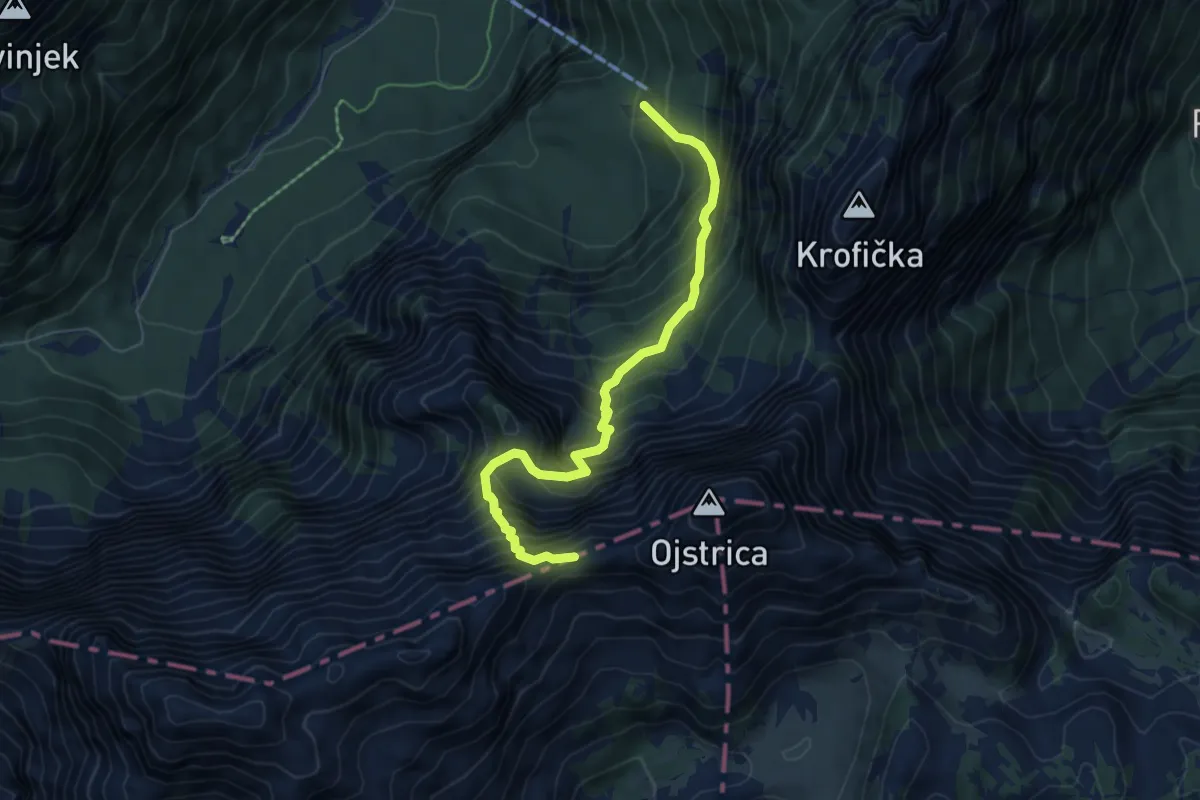
Demanding · Summit
Klemenča jama - Škarje
6.1 km · ↑ 926 m · 3 h 27 min
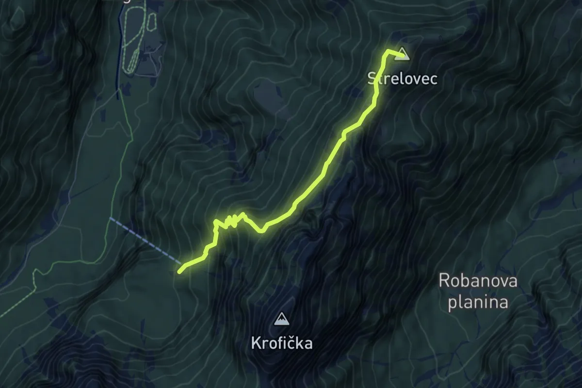
Medium · Summit
Klemenča jama - Strelovec
6.8 km · ↑ 680 m · 3 h 5 min
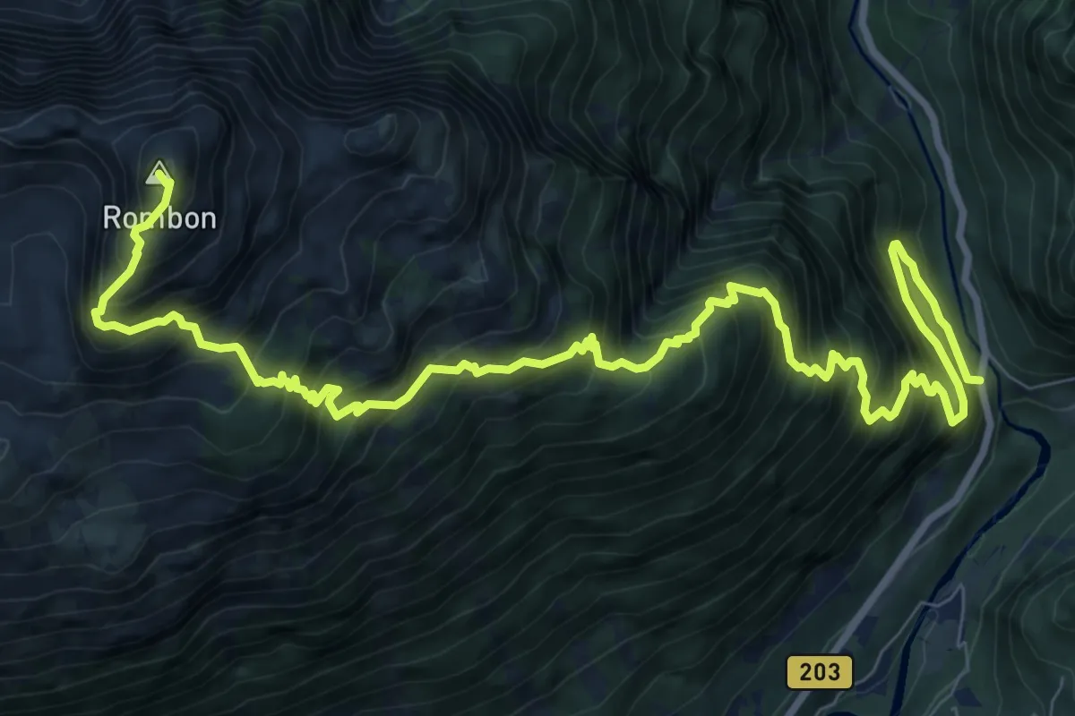
Expert · Summit
Kluže - Rombon
12.8 km · ↑ 1854 m · 7 h 3 min
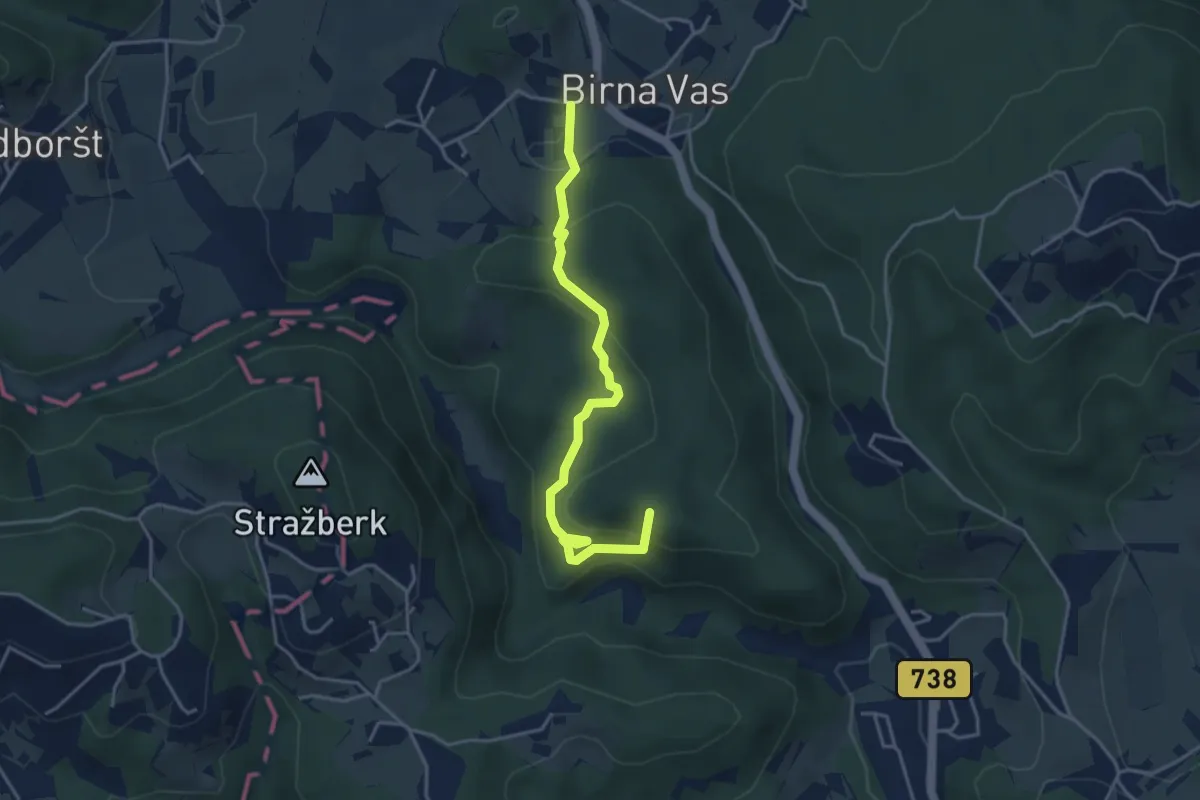
Easy · Summit
Knapčeva pot
4.0 km · ↑ 213 m · 1 h 25 min
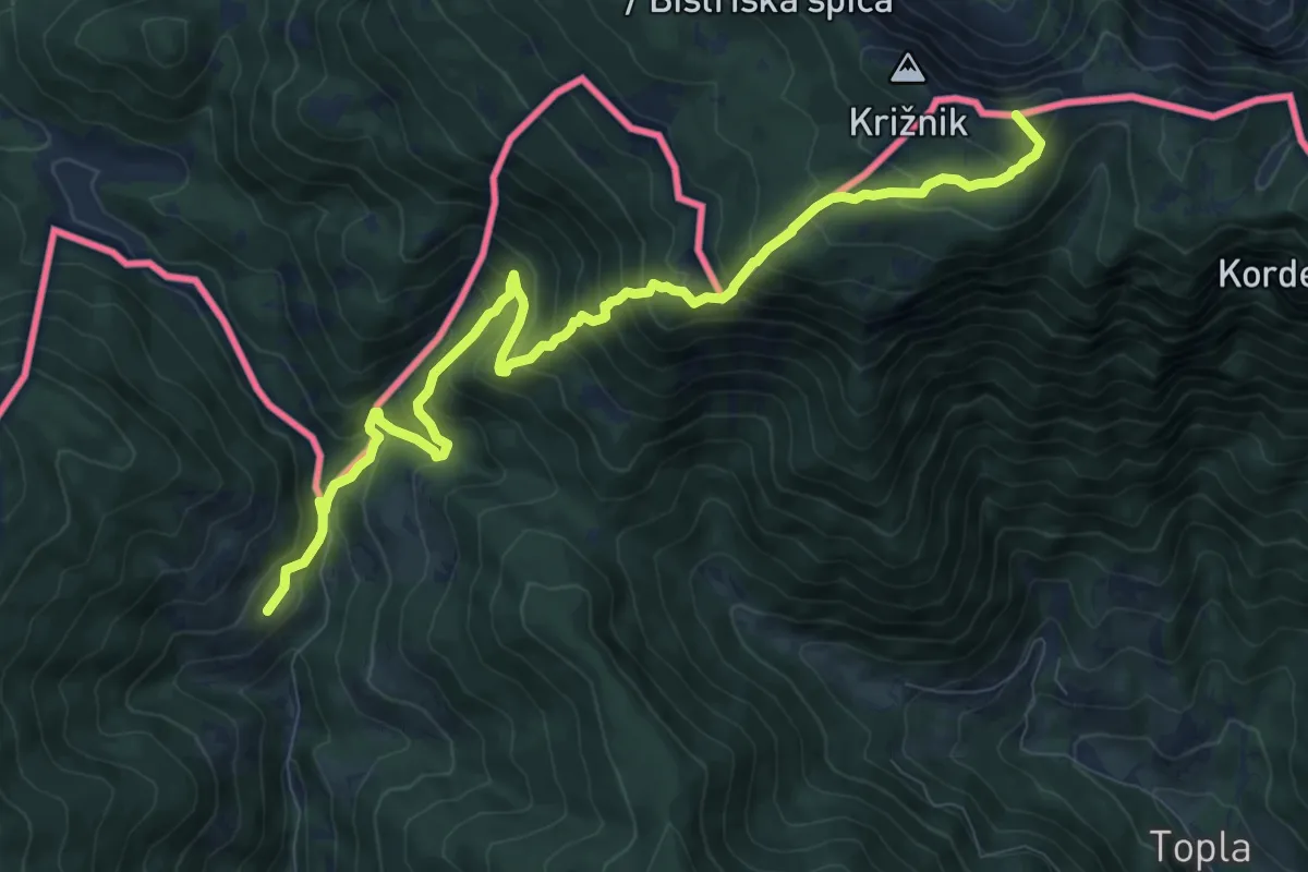
Demanding · Summit
Knepsovo sedlo-Kumer
10.8 km · ↑ 1027 m · 4 h 46 min
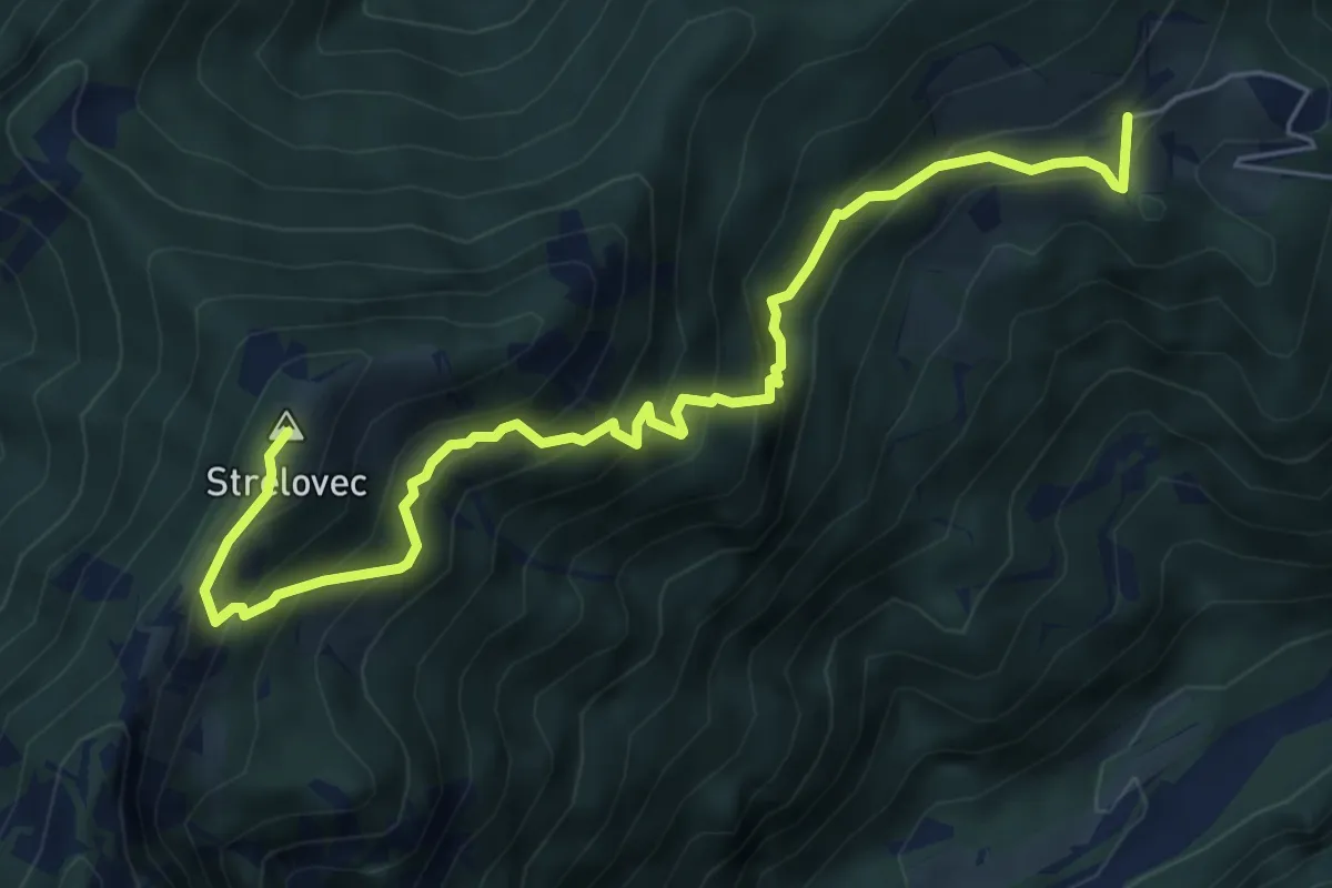
Medium · Summit
Knez - Strelovec
6.8 km · ↑ 713 m · 3 h 9 min
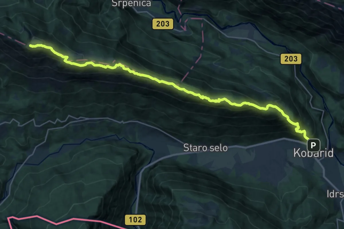
Expert · Summit
Kobarid - Stol
24.4 km · ↑ 1598 m · 9 h 13 min
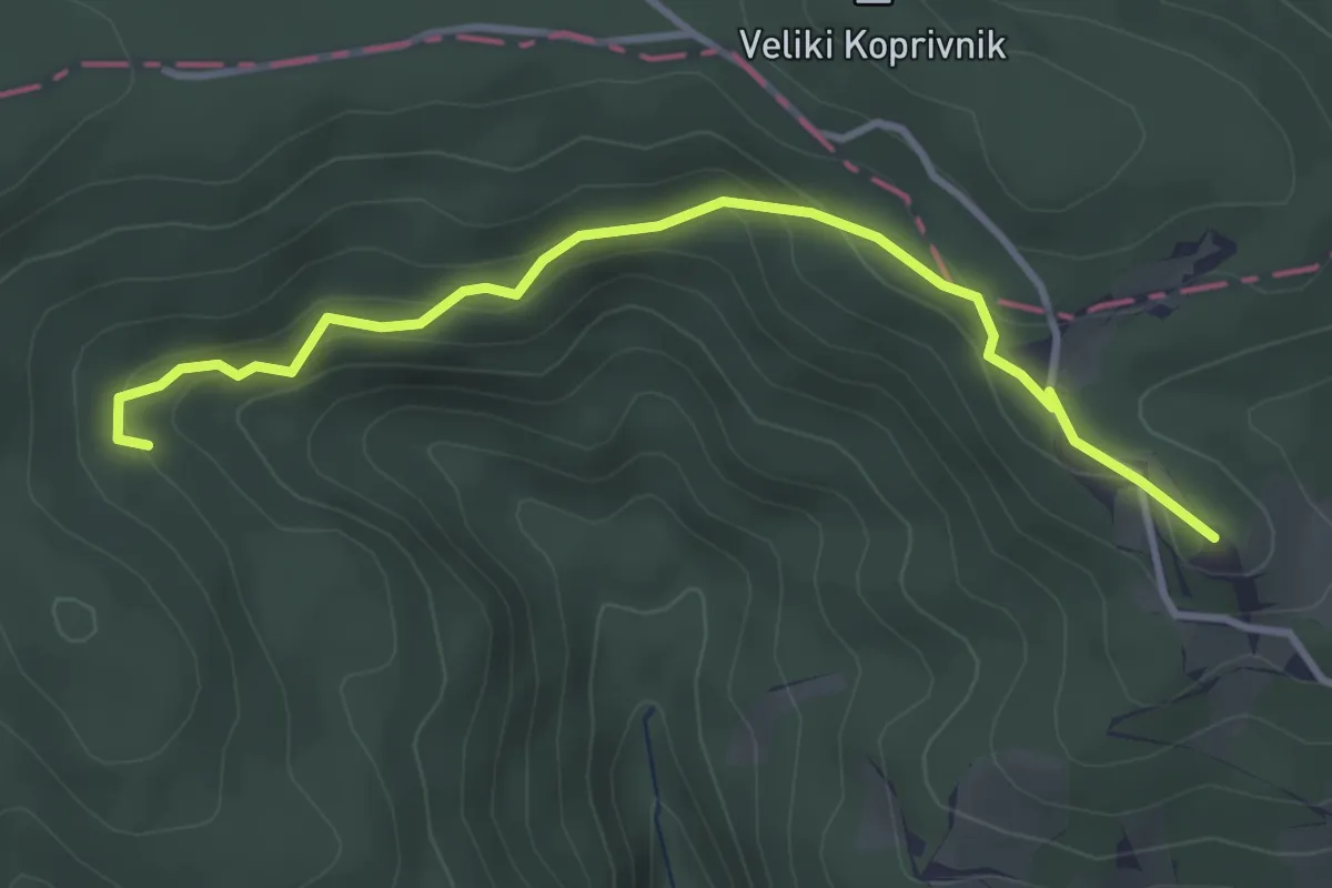
Easy · Summit
Koča na Bohorju - Partizanska bolnišnica
3.6 km · ↑ 191 m · 1 h 16 min
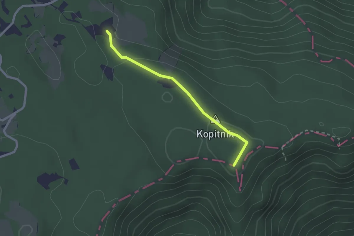
Demanding · Summit
Koča na Kopitniku - Kopitnik
1.9 km · ↑ 34 m · 31 min
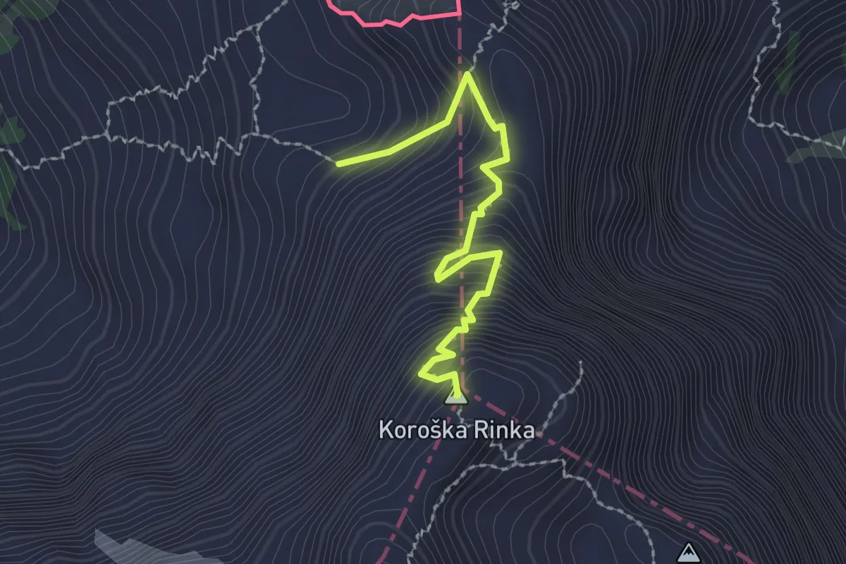
Expert · Summit
Koča na Ledinah - Koroška rinka
2.1 km · ↑ 380 m · 1 h 19 min
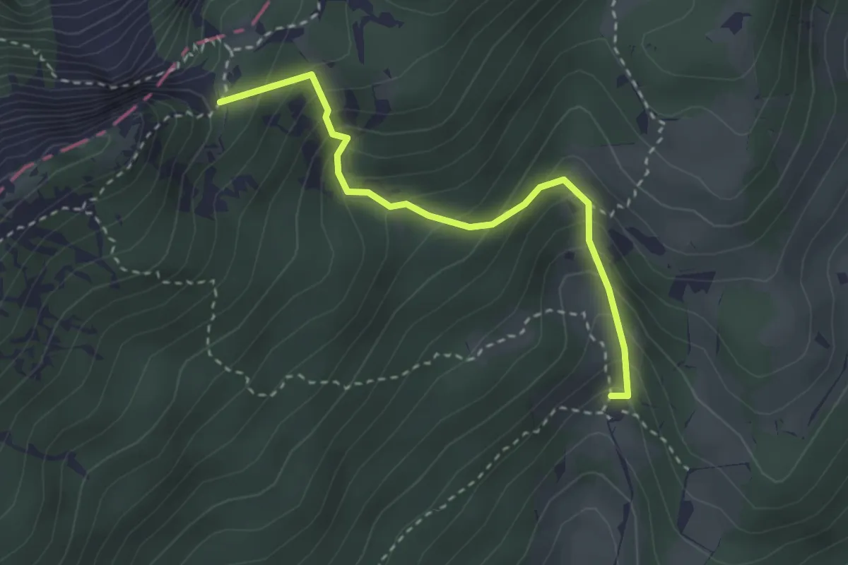
Medium · Cabin
Koča na Loki - Durce
2.9 km · ↑ 338 m · 1 h 25 min