Trails near Alcoi / Alcoy
22 hikes starting within 15 km, nearest first.
Nearest first
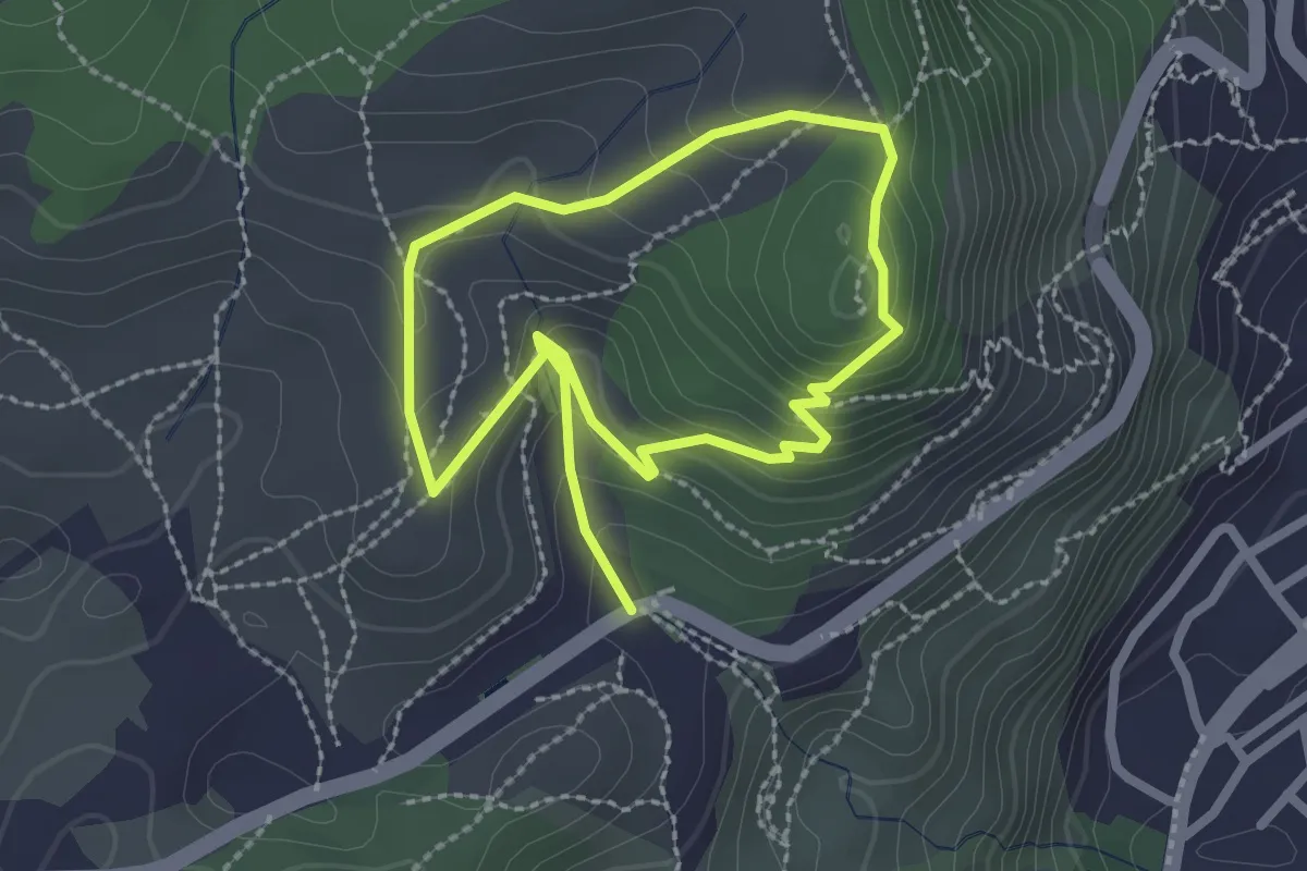
Medium · Trail
Miradors de Solana
2.3 km · ↑ 101 m · 49 min · 2 km away
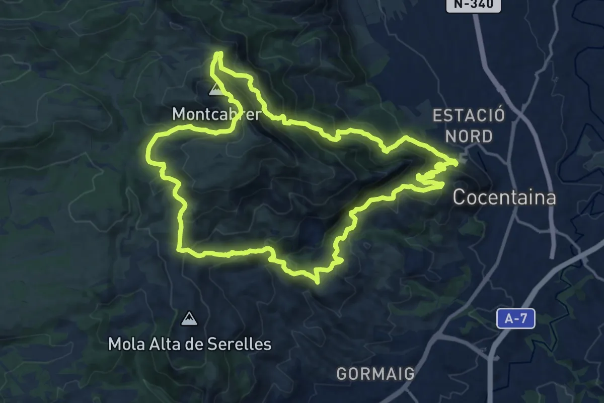
Demanding · Summit
Montcabrer desde Cocentaina
16.5 km · ↑ 1078 m · 6 h 28 min · 4 km away
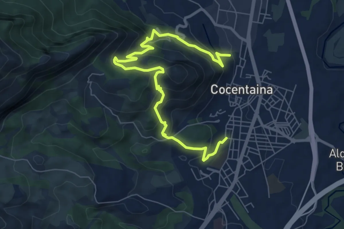
Medium · Trail
Una cita amb la història
8.9 km · ↑ 530 m · 3 h 16 min · 5 km away
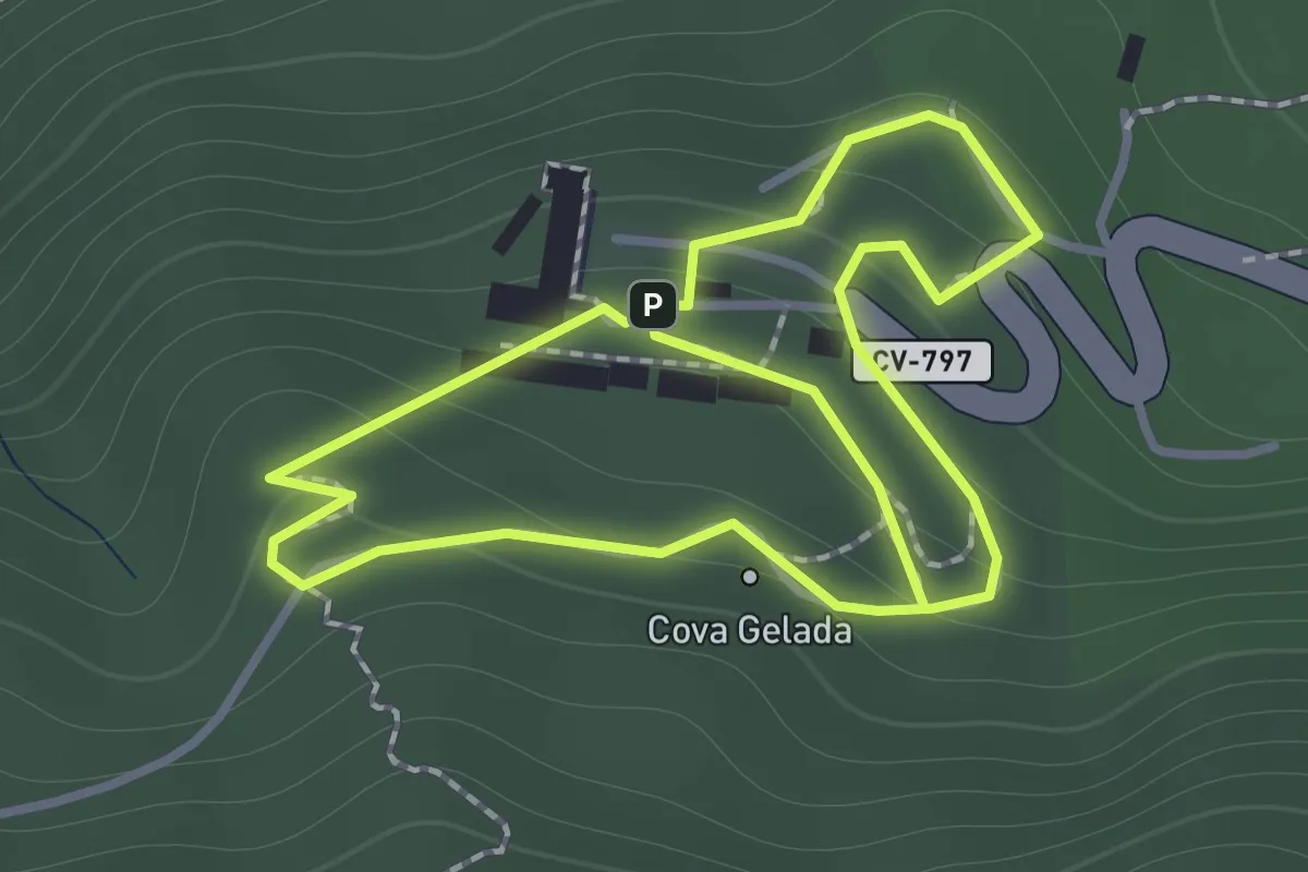
Easy · Trail
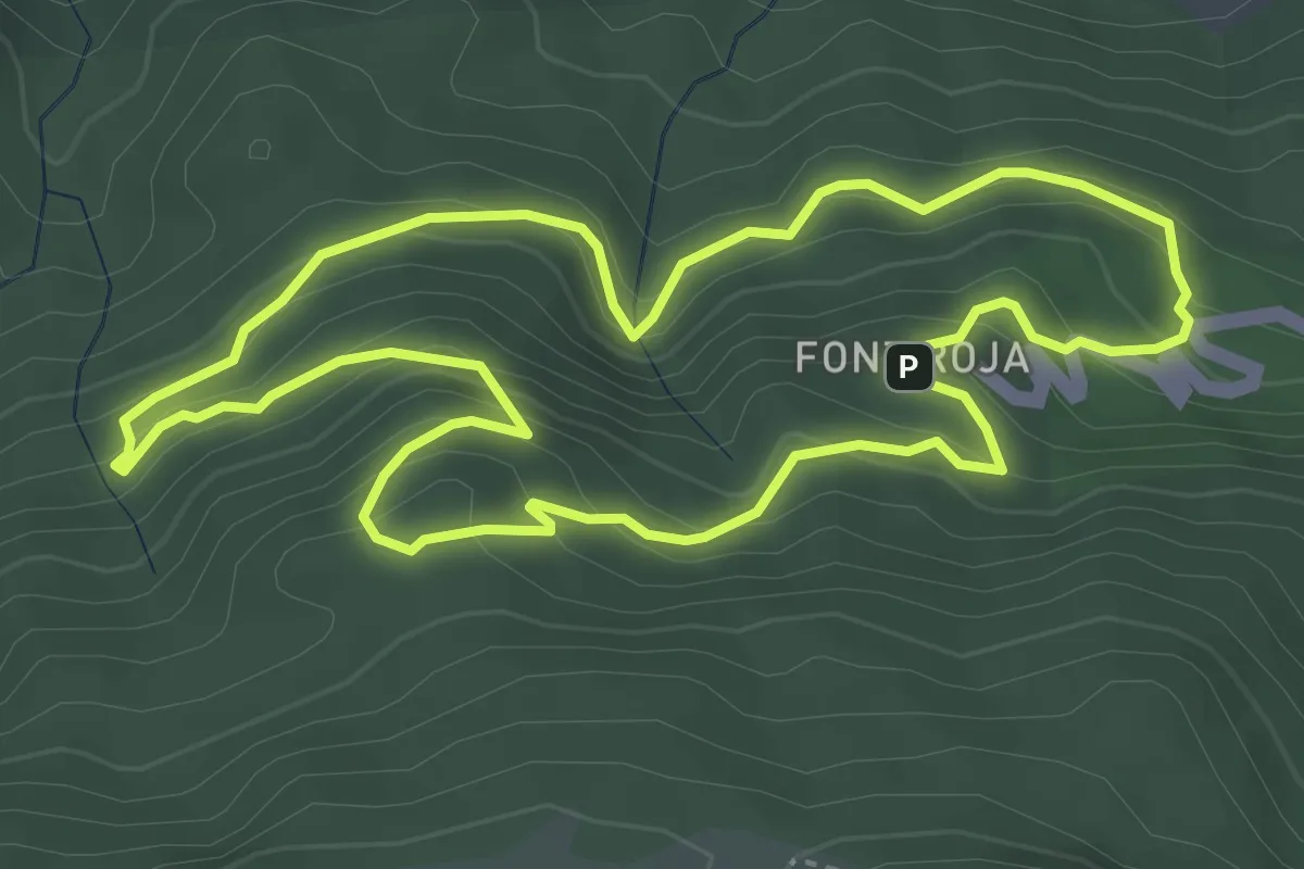
El xicotet
2.7 km · ↑ 154 m · 58 min · 7 km away
Easy · Trail
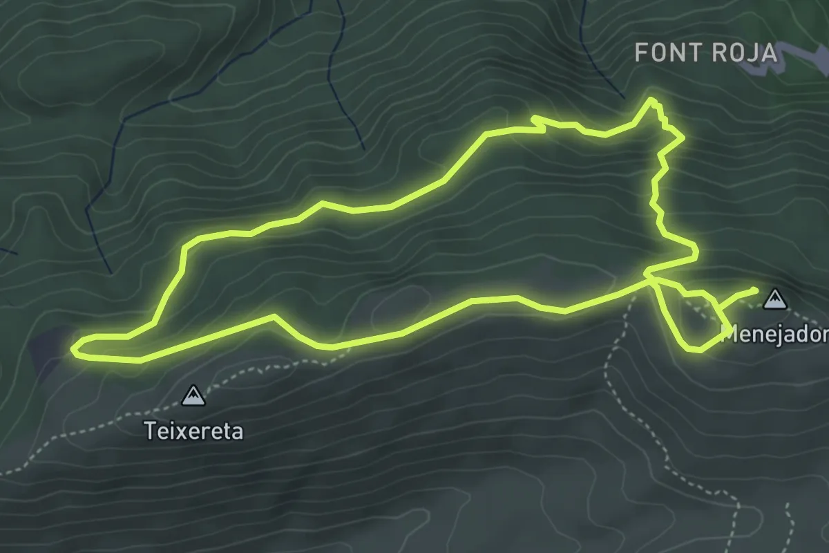
El barranc de l'infern
4.5 km · ↑ 292 m · 1 h 45 min · 7 km away
Medium · Summit
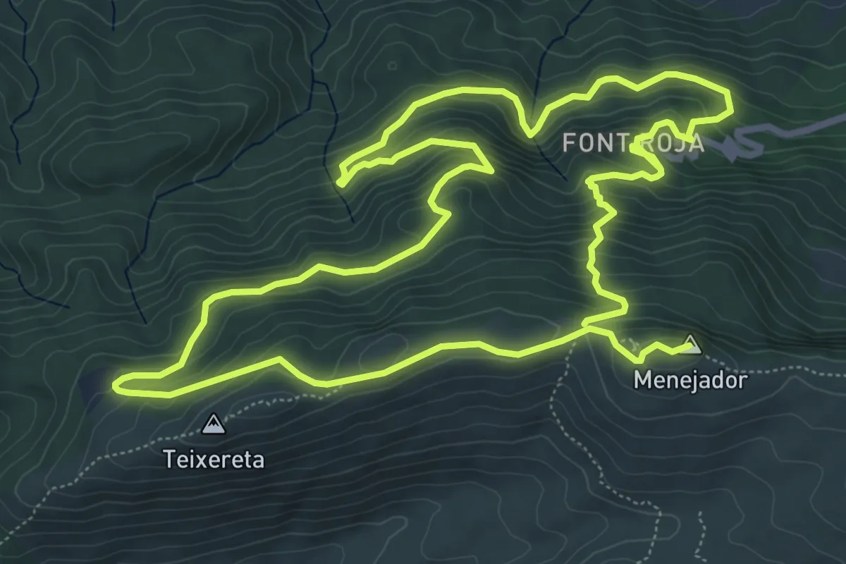
El Menejador
5.5 km · ↑ 287 m · 2 h · 7 km away
Medium · Summit
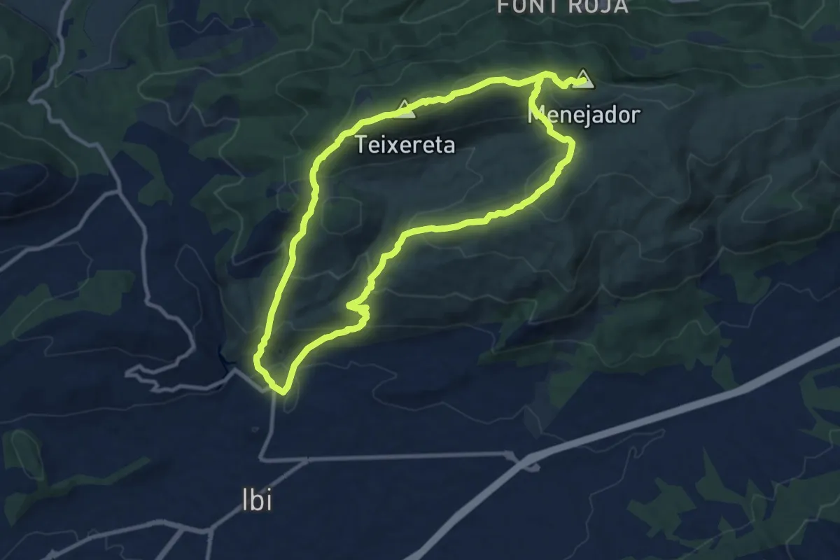
La font roja
8.4 km · ↑ 490 m · 3 h 10 min · 7 km away
Demanding · Summit
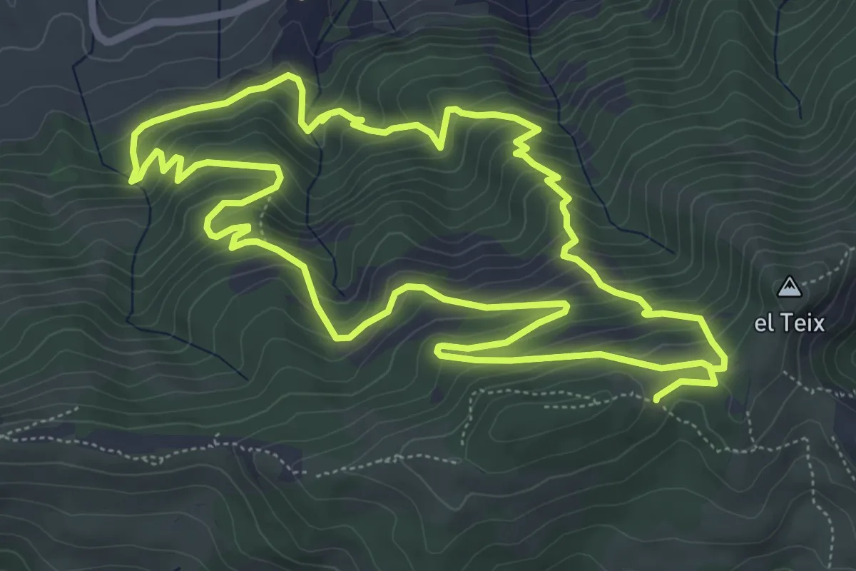
Ibi - Serra del Menejador
21.2 km · ↑ 1236 m · 7 h 41 min · 7 km away
Medium · Cabin
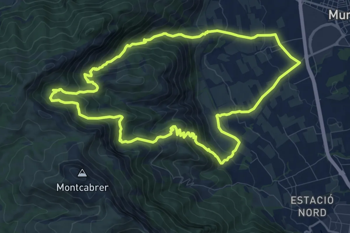
A l'ombra de les caves
7.5 km · ↑ 503 m · 2 h 57 min · 8 km away
Medium · Trail
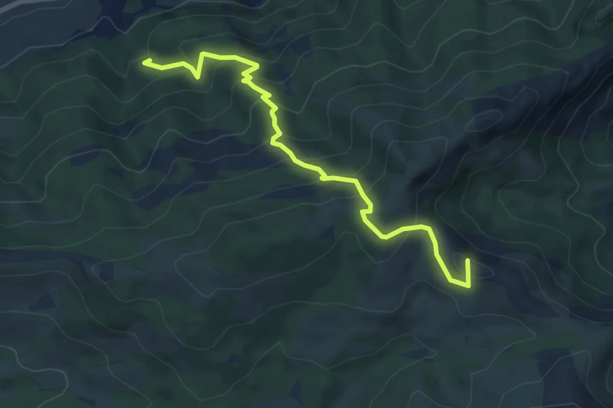
Muro d'Alcoi - Racó Llobet
12.6 km · ↑ 660 m · 4 h 34 min · 9 km away
Medium · Summit
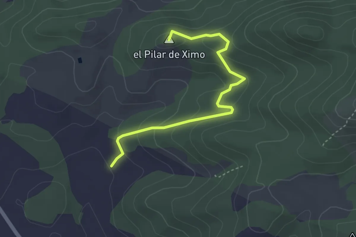
Senda d'Agres - Cocentaina
6.2 km · ↑ 499 m · 2 h 33 min · 9 km away
Easy · Summit
Camí dels Geladors Enlace
3.9 km · ↑ 204 m · 1 h 22 min · 11 km away
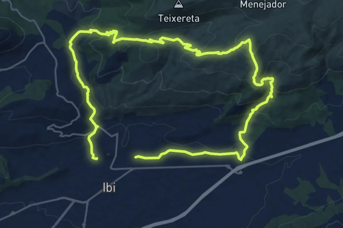
Medium · Summit
Camí dels Geladors
14.1 km · ↑ 547 m · 4 h 43 min · 11 km away
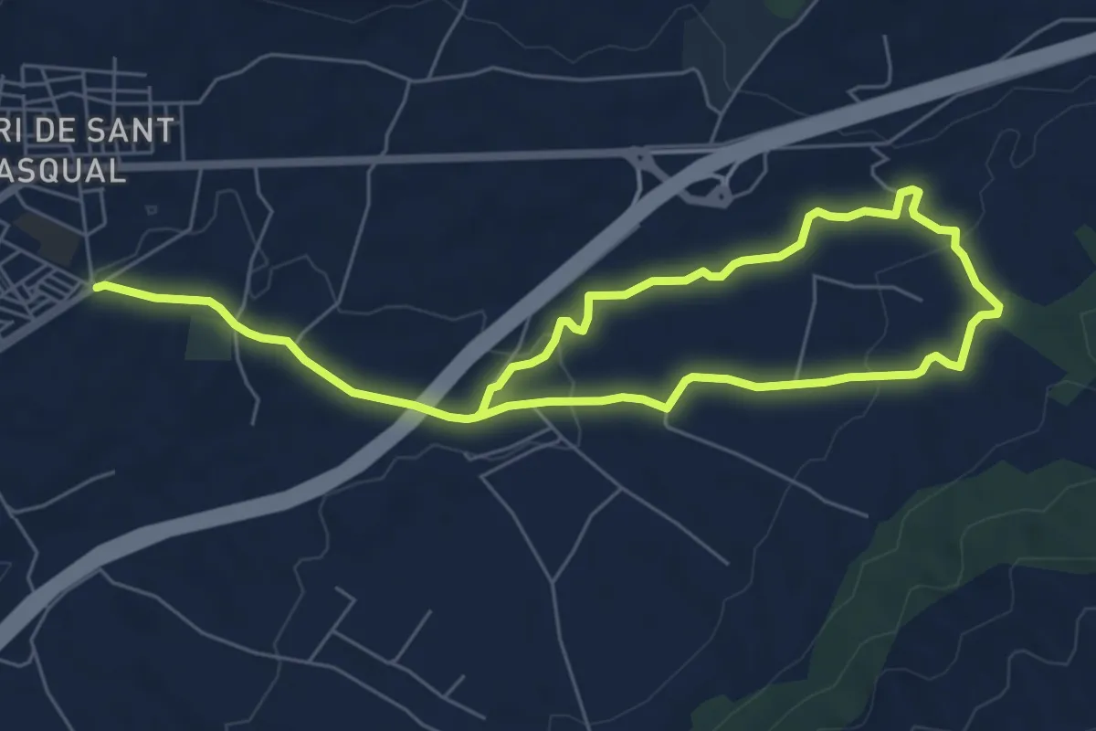
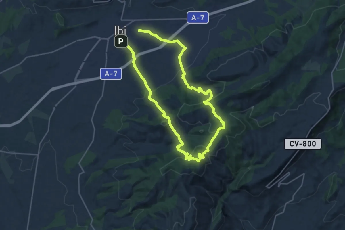
Easy · Trail
Ibi -Les Foies Blanques
5.5 km · ↑ 89 m · 1 h 35 min · 11 km away
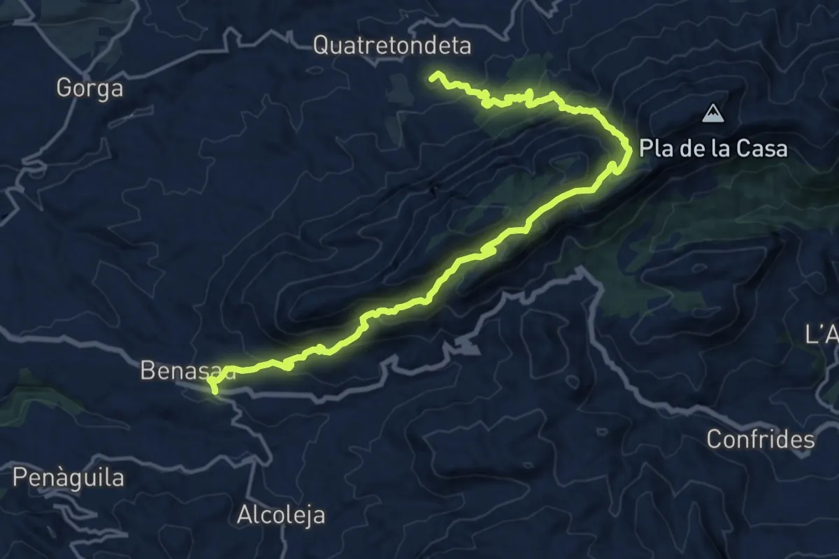
Demanding · Summit
Quatretondeta - Benasau
20.6 km · ↑ 1135 m · 7 h 19 min · 12 km away
Medium · Summit
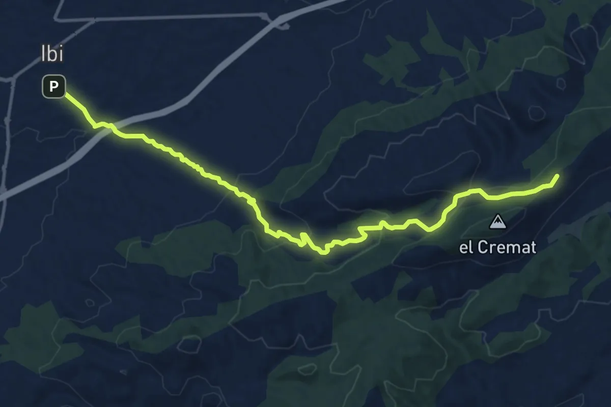
Alt de la Martina
14.9 km · ↑ 564 m · 4 h 57 min · 12 km away
Medium · Cabin
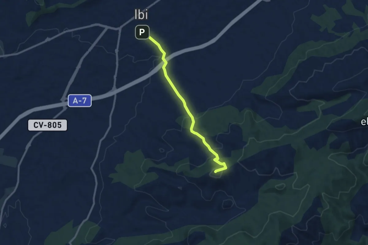
Camino del Carrascar
15.2 km · ↑ 480 m · 4 h 37 min · 12 km away
Medium · Summit
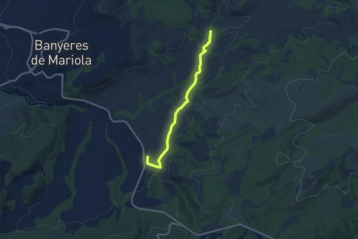
Camino de Jijona
7.8 km · ↑ 339 m · 2 h 35 min · 12 km away
Easy · Trail
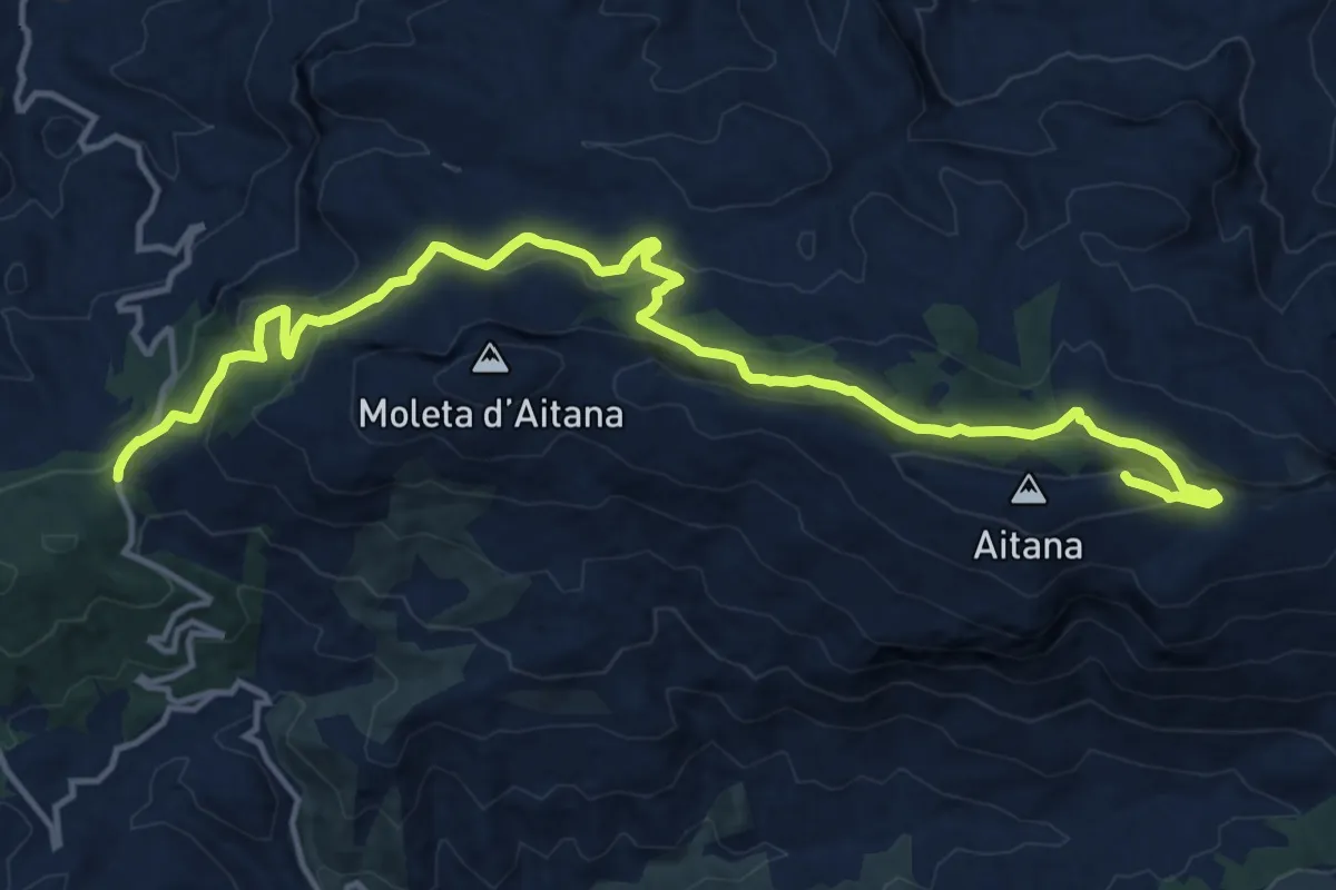
Camí d'aigues
6.7 km · ↑ 52 m · 1 h 41 min · 13 km away
Demanding · Summit
Port de Tudons - Cim d'Aitana
18.7 km · ↑ 778 m · 6 h 6 min · 14 km away
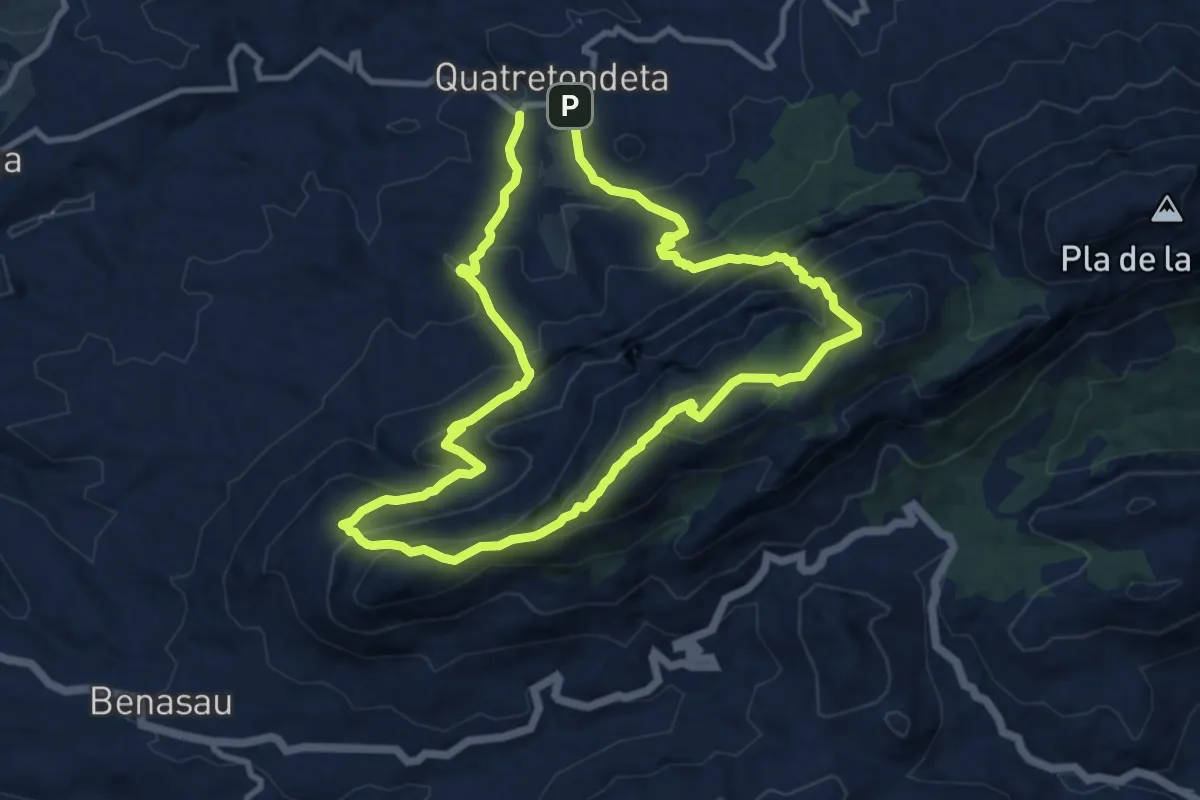
Demanding · Summit
Sender de les Agulles de la Serrella
10.6 km · ↑ 847 m · 4 h 30 min · 14 km away
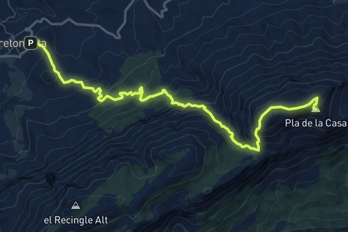
Medium · Summit
Quatretondeta - Pla de la Casa
11.1 km · ↑ 773 m · 4 h 18 min · 14 km away