Trails near Alhaurín el Grande
32 hikes starting within 15 km, nearest first.
Nearest first
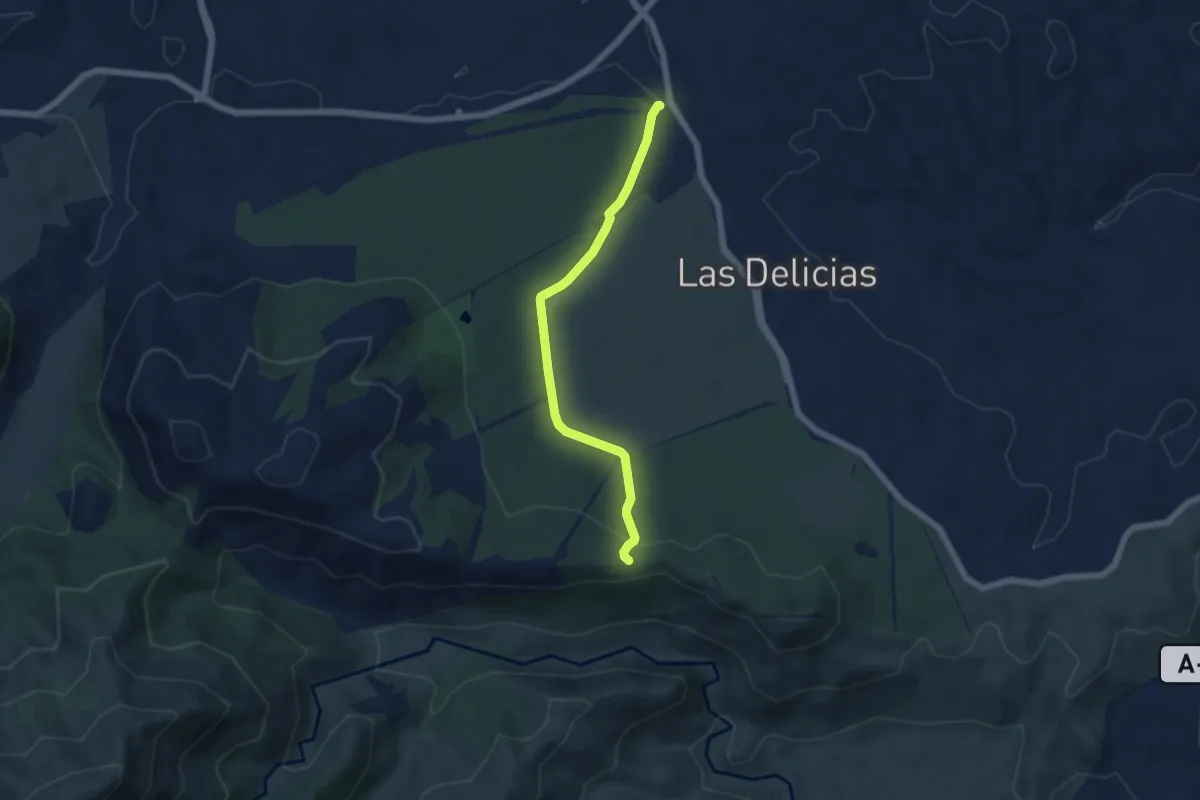
Easy · Trail
Camino de la Fuente - Llanos de Matagallar
6.1 km · ↑ 127 m · 1 h 43 min · 5 km away
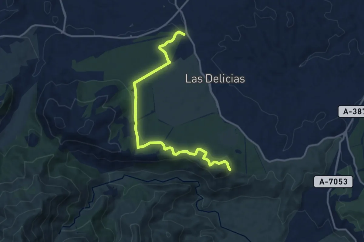
Medium · Trail
El Nacimiento - Mirador de Cerro Alaminos
11.8 km · ↑ 274 m · 3 h 23 min · 5 km away
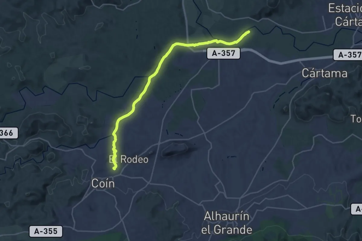
Demanding · Trail
Sendero Fluvial Coín - Guadalhorce
24.0 km · ↑ 122 m · 5 h 56 min · 6 km away
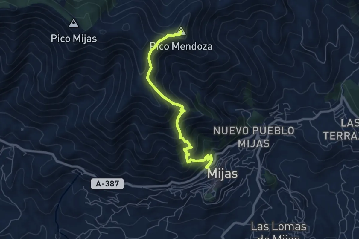
Demanding · Summit
Sendero Cerro Málaga
6.5 km · ↑ 577 m · 2 h 47 min · 7 km away
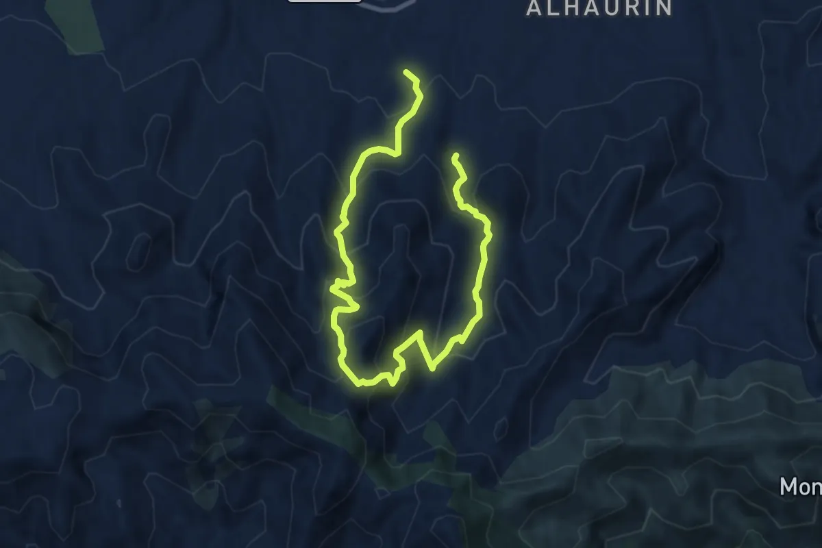
Demanding · Trail
Presidiarios
13.0 km · ↑ 892 m · 5 h · 8 km away
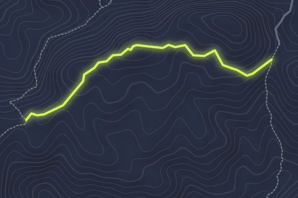
Medium · Trail
Viñas Viejas
3.0 km · ↑ 121 m · 59 min · 8 km away
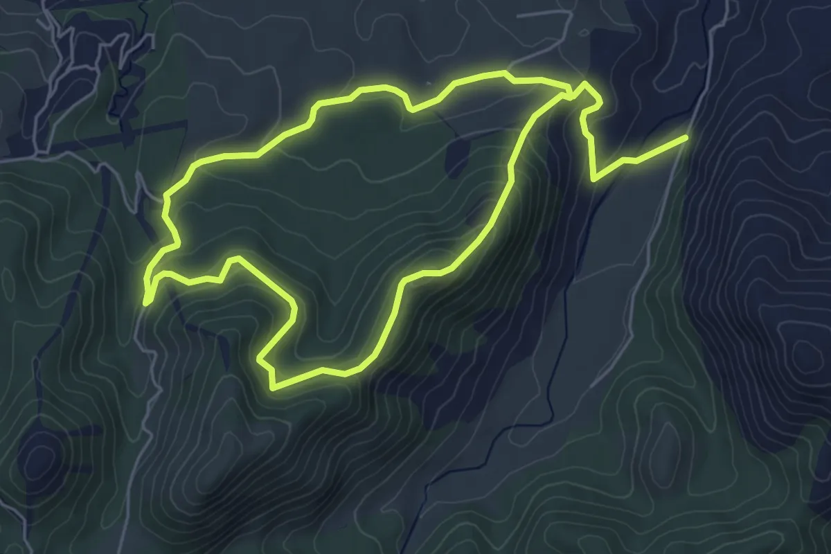
Easy · Trail
La Alfaguara
5.9 km · ↑ 294 m · 2 h 4 min · 8 km away
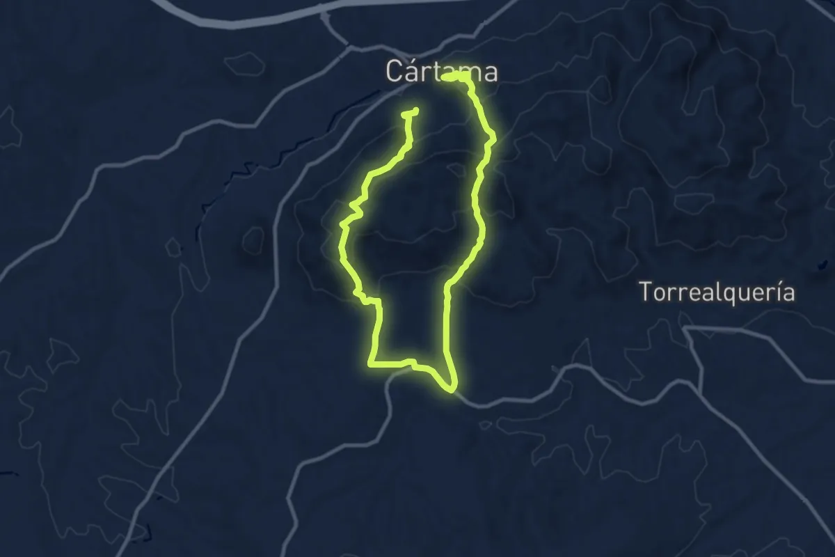
Medium · Trail
Sierra de los Espartales
8.8 km · ↑ 432 m · 3 h 9 min · 9 km away
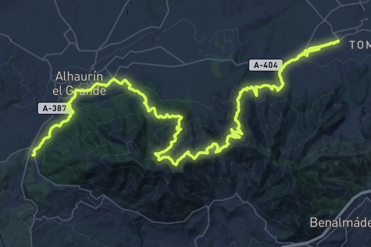
Demanding · Trail
Variante GR 249.2 Puerto de los Pescadores - Alhaurín de la Torre
27.3 km · ↑ 1301 m · 9 h 34 min · 9 km away
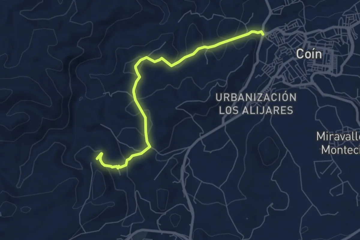
Easy · Trail
Camino de la Ermita (por los Alberos)
7.6 km · ↑ 285 m · 2 h 25 min · 9 km away
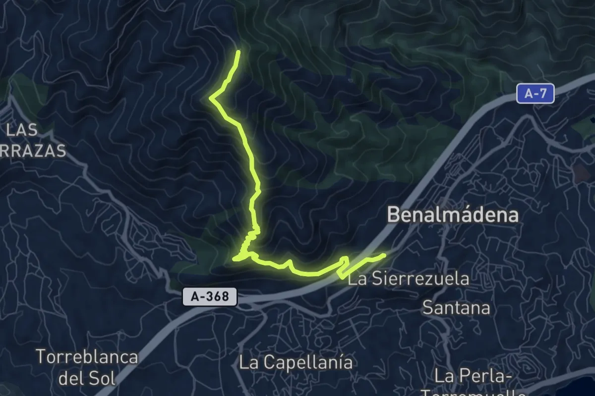
Medium · Trail
Sendero Mina de la Trinidad
9.5 km · ↑ 787 m · 3 h 56 min · 9 km away
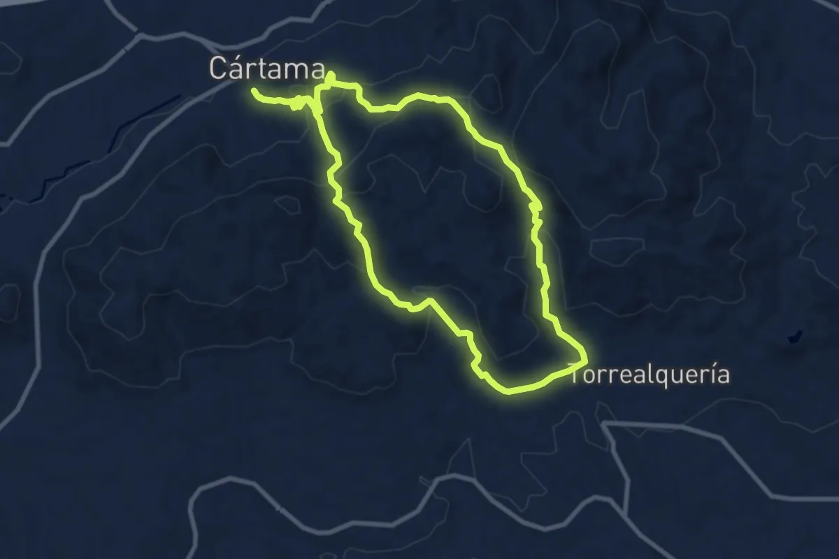
Medium · Trail
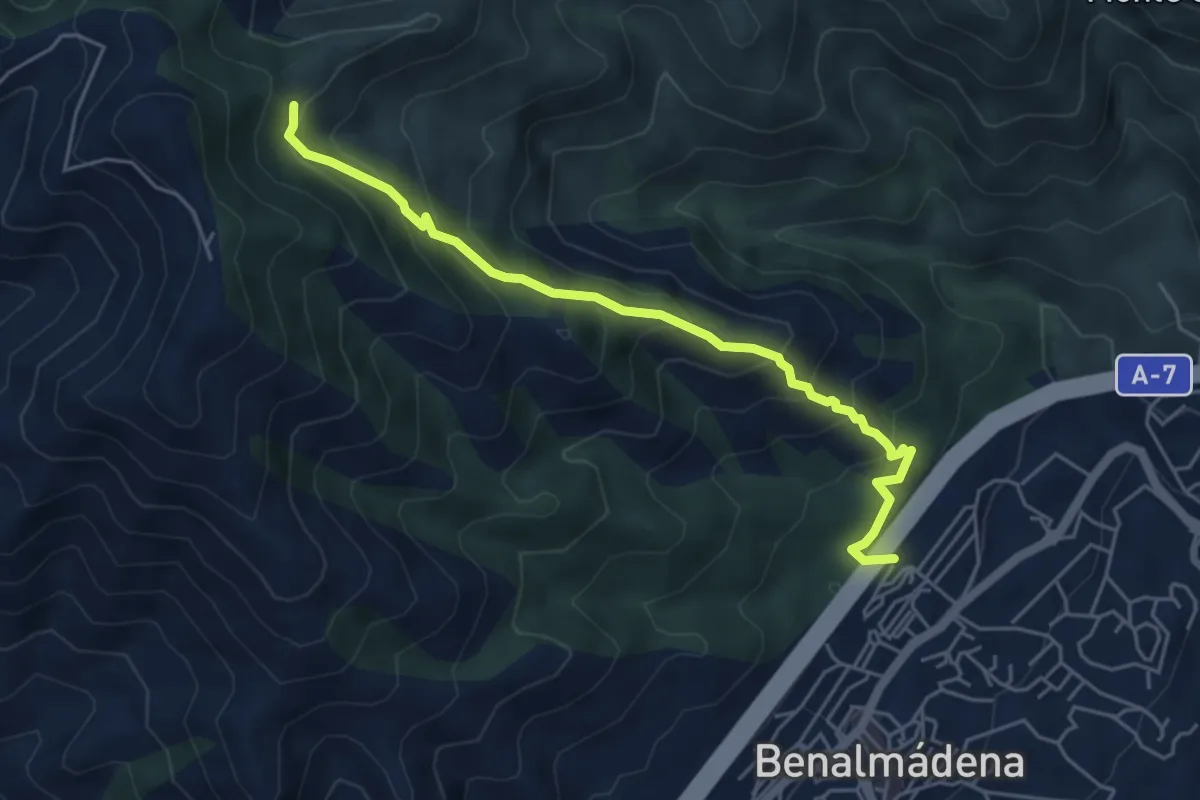
Circular de Torrealquería
9.4 km · ↑ 417 m · 3 h 16 min · 9 km away
Medium · Trail
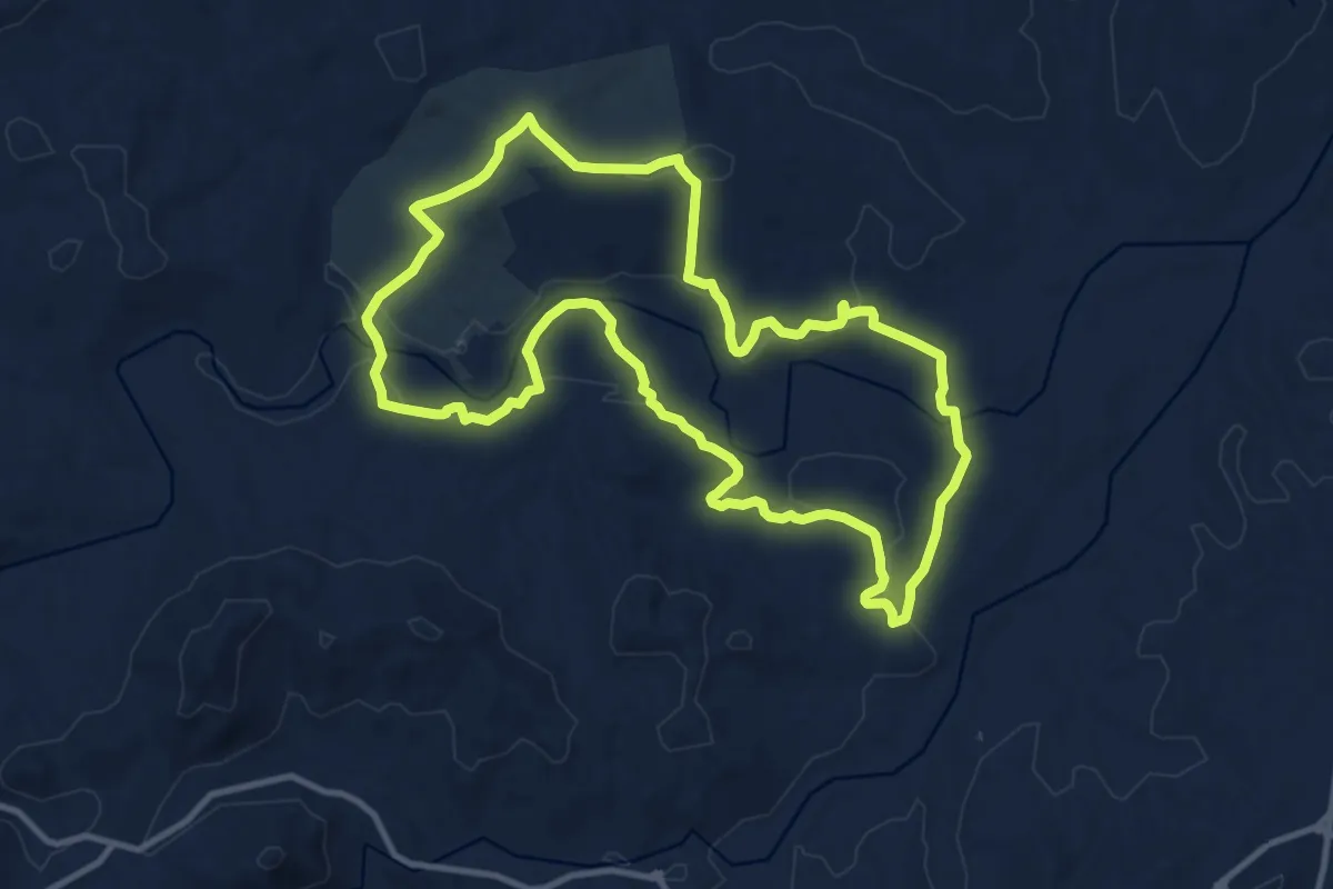
Sendero Tajo de La Sabia
6.0 km · ↑ 484 m · 2 h 27 min · 9 km away
Medium · Trail
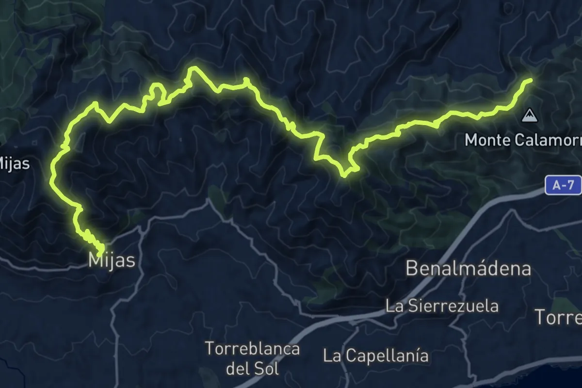
Los Dos Ríos
13.2 km · ↑ 217 m · 3 h 46 min · 11 km away
Demanding · Trail
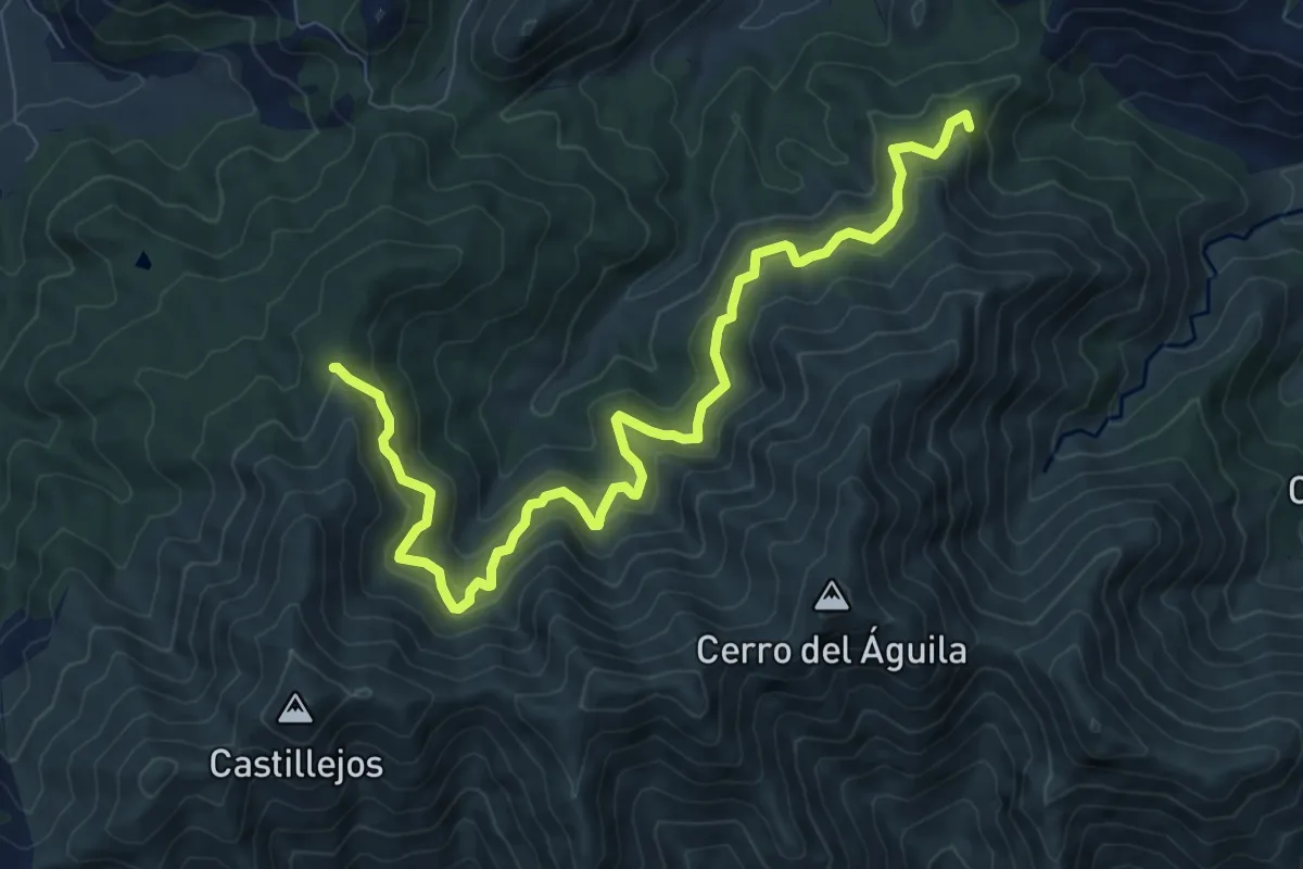
Mijas - Benalmádena
16.1 km · ↑ 964 m · 6 h 11 min · 11 km away
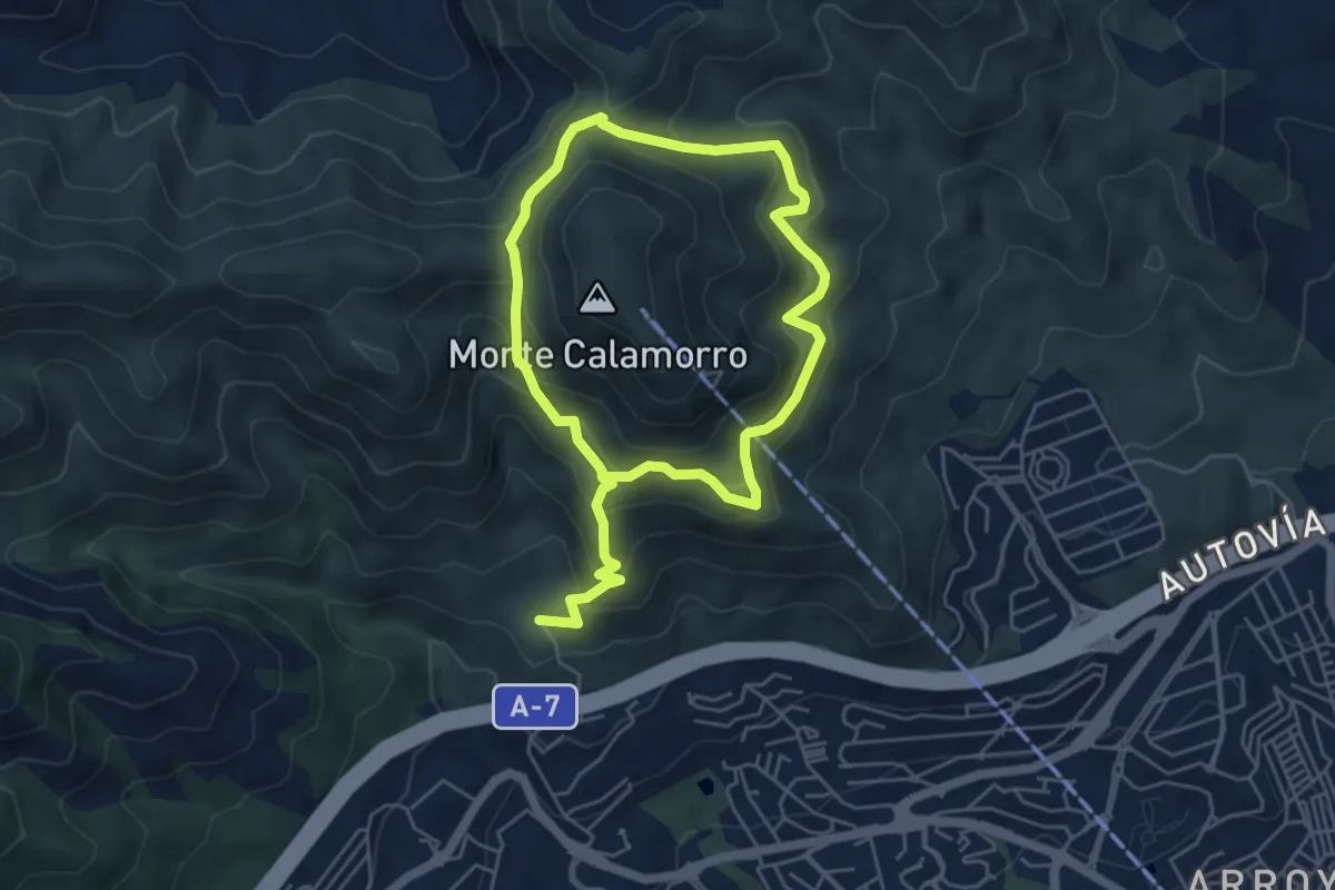
Medium · Trail
Derivación al Cerro del Águila
11.7 km · ↑ 750 m · 4 h 24 min · 12 km away
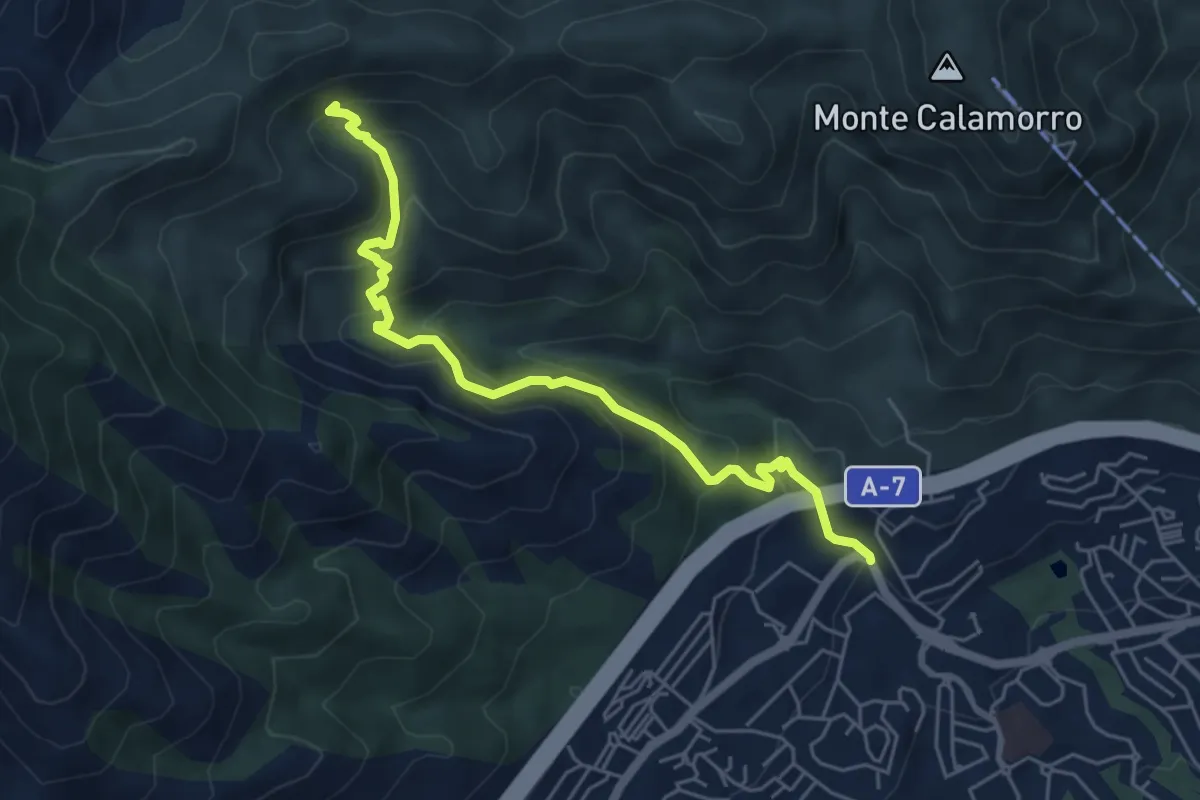
Demanding · Trail
Sendero Puerto Viejo
10.0 km · ↑ 864 m · 4 h 13 min · 12 km away
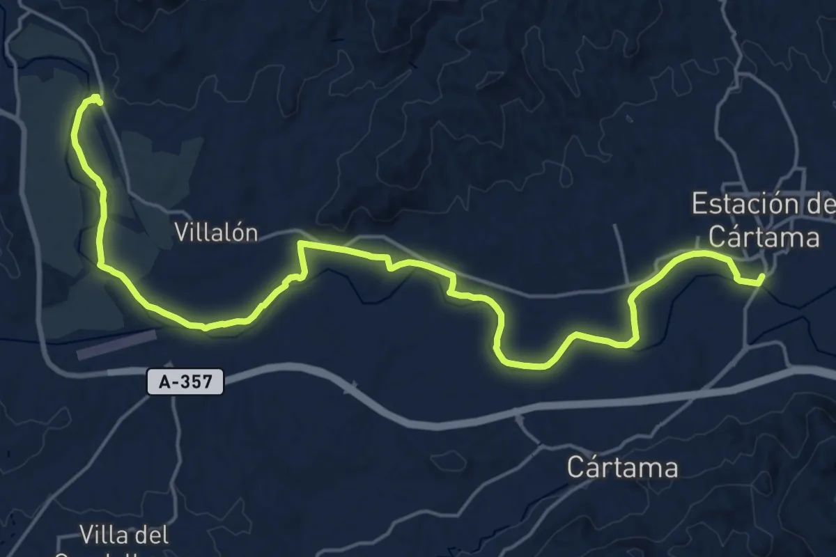
Medium · Trail
Sendero Tajo del Quejigal
6.4 km · ↑ 504 m · 2 h 37 min · 12 km away
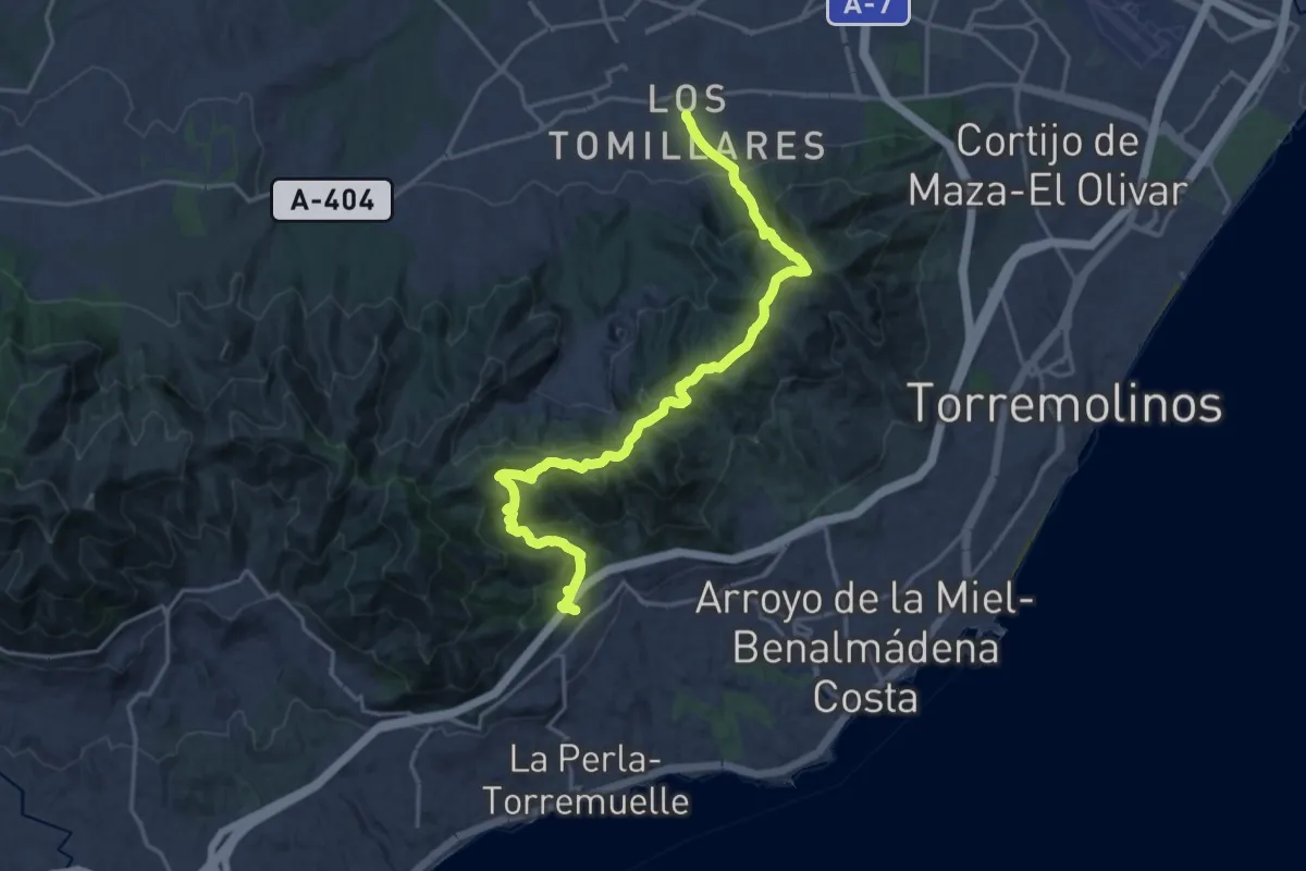
Demanding · Trail
Pizarra - Estación de Cártama
26.9 km · ↑ 110 m · 6 h 35 min · 12 km away
Medium · Trail
Benalmádena - Alhaurín de la Torre
12.0 km · ↑ 756 m · 4 h 33 min · 12 km away
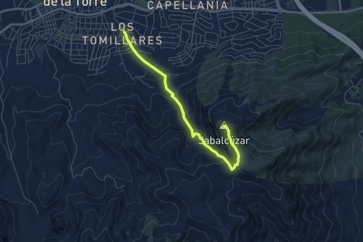
Medium · Summit
Arroyo Zambrano - Pico Jabalcuza
7.0 km · ↑ 481 m · 2 h 41 min · 12 km away
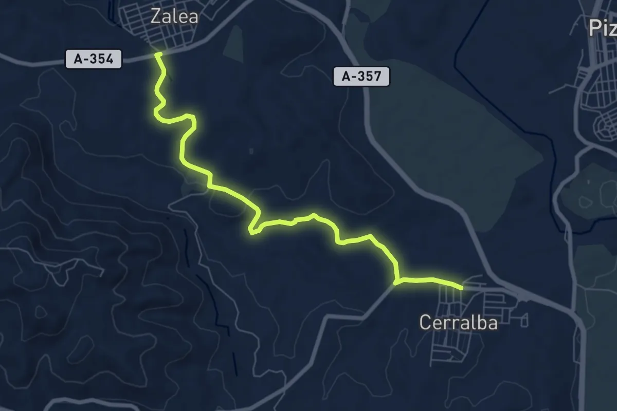
Medium · Trail
Cerralba - Zalea
8.4 km · ↑ 103 m · 2 h 12 min · 12 km away
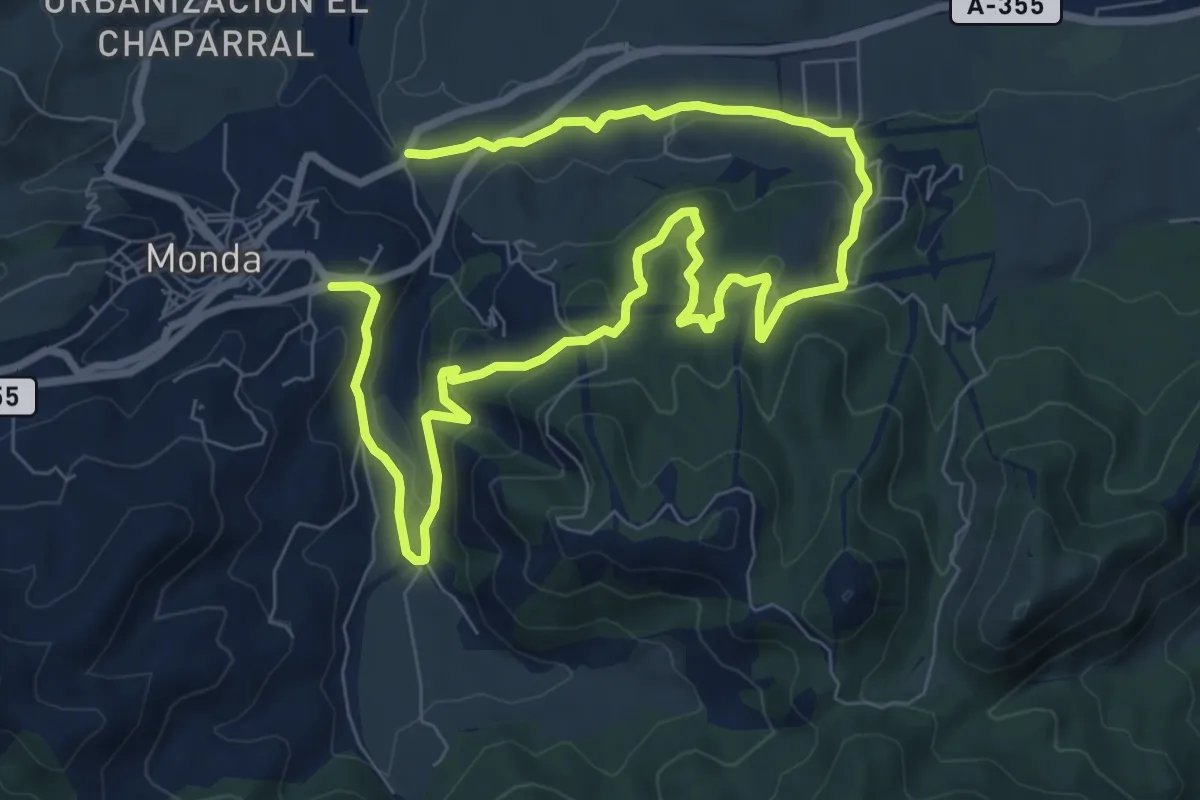
Easy · Trail
Monda - Cerro Gordo
7.4 km · ↑ 209 m · 2 h 20 min · 13 km away
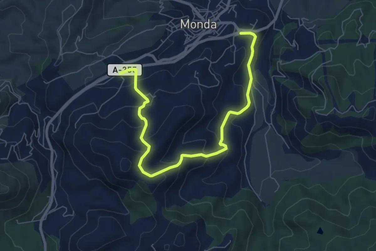
Medium · Trail
Monda - Camino Alto
8.5 km · ↑ 479 m · 3 h 2 min · 13 km away
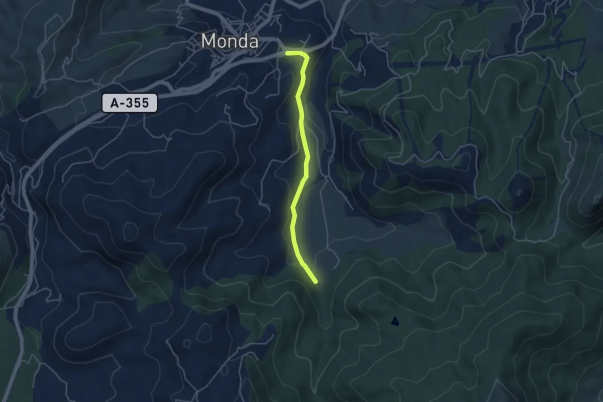
Easy · Trail
Monda - Fuente de los Morales
4.2 km · ↑ 70 m · 1 h 8 min · 13 km away
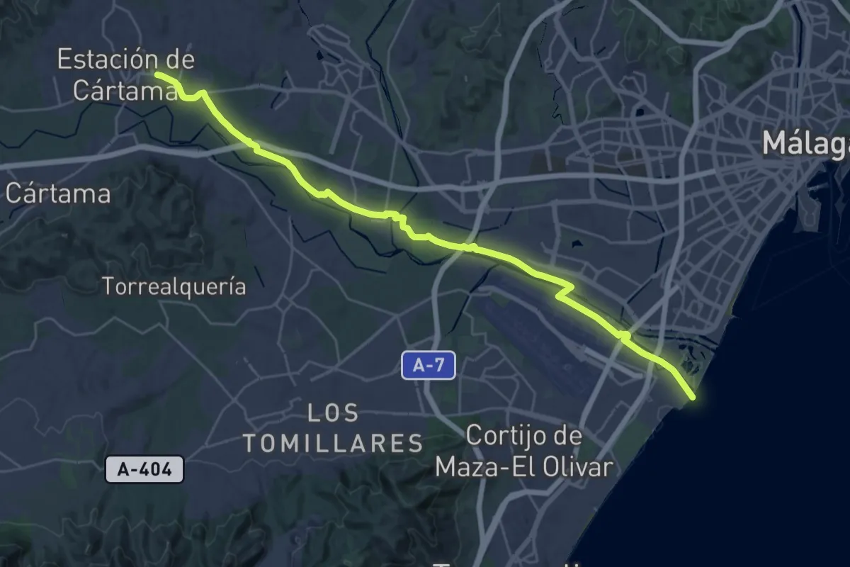
Medium · Trail
Estación de Cártama - Málaga
17.7 km · ↑ 31 m · 4 h 30 min · 13 km away
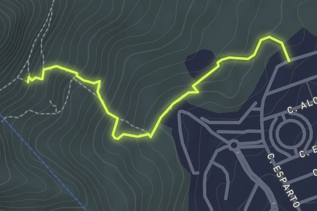
Easy · Trail
La Ermita
2.6 km · ↑ 233 m · 1 h 7 min · 13 km away
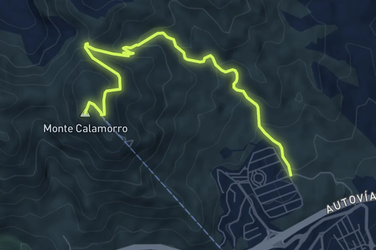
Medium · Summit
Sendero Puerto de las Ovejas - Calamorro
8.1 km · ↑ 518 m · 3 h 2 min · 13 km away
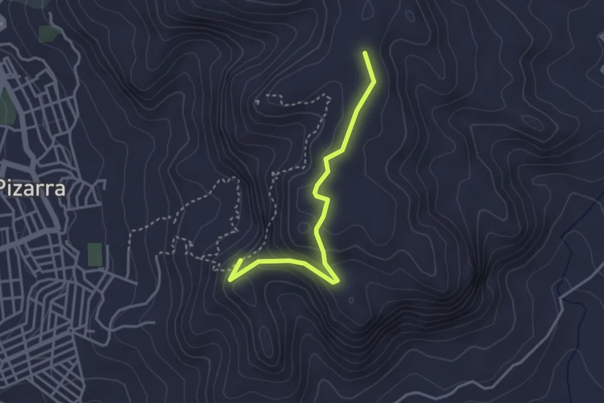
Medium · Trail
Sendero El Santo (itinerario alternativo)
3.5 km · ↑ 157 m · 1 h 10 min · 14 km away
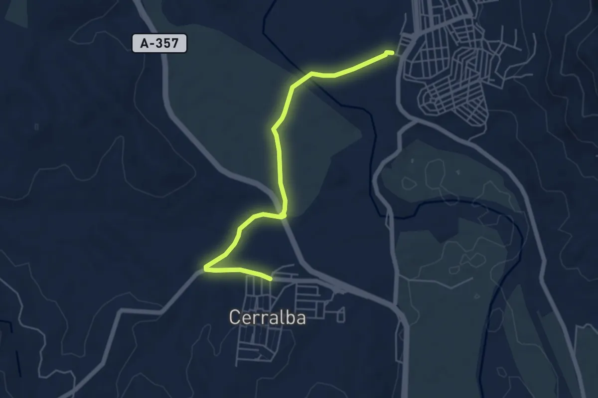
Easy · Trail
Pizarra - Cerralba
5.8 km · ↑ 31 m · 1 h 26 min · 14 km away
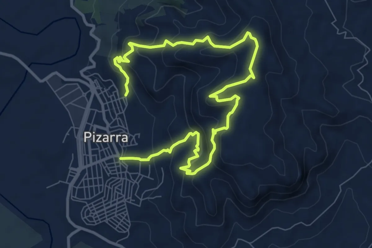
Medium · Trail
El Santo
6.3 km · ↑ 478 m · 2 h 35 min · 14 km away
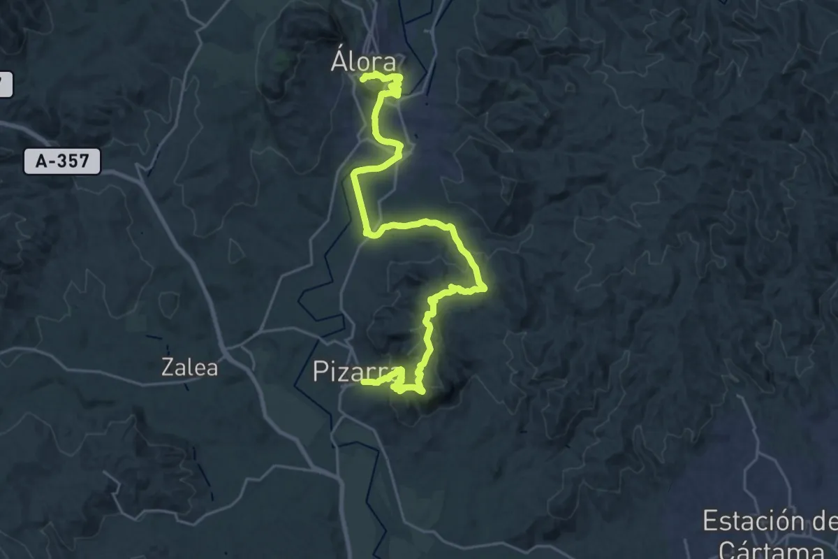
Medium · Trail
Pizarra - Álora
15.3 km · ↑ 554 m · 4 h 58 min · 14 km away