Trails near Amurrio
22 hikes starting within 15 km, nearest first.
Nearest first
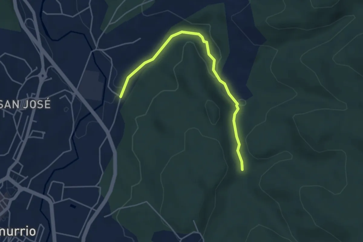
Easy · Trail
Mariaka Dorrea
4.3 km · ↑ 76 m · 1 h 10 min · 1 km away
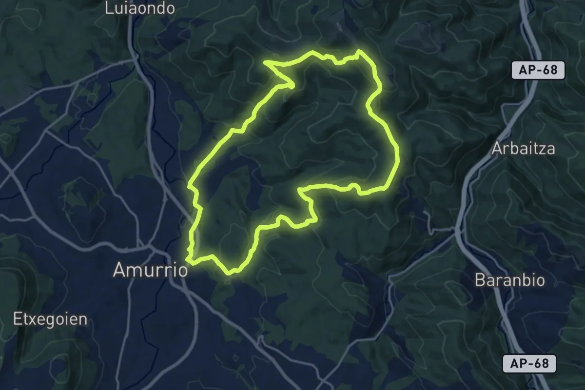
Medium · Summit
Zirkular Aspaltza
15.4 km · ↑ 609 m · 5 h 10 min · 4 km away
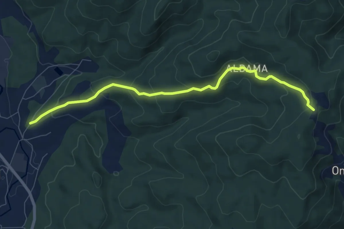
Medium · Trail
Aldama
8.4 km · ↑ 371 m · 2 h 47 min · 5 km away
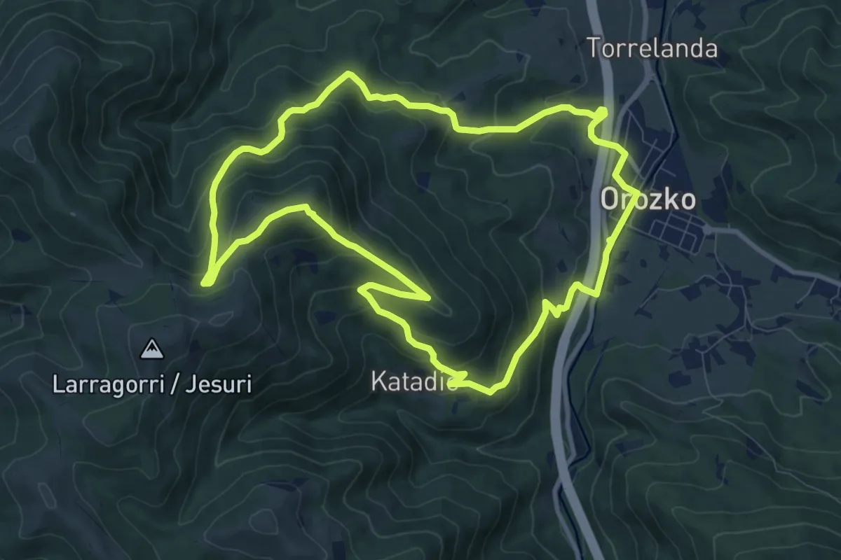
Medium · Summit
Zubiaur - Santa Marina
10.1 km · ↑ 513 m · 3 h 38 min · 9 km away
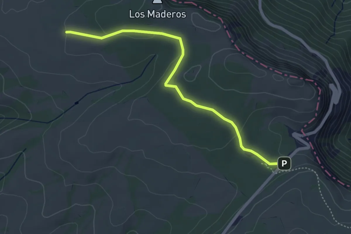
Easy · Trail
Senda de Pozolagua
5.0 km · ↑ 88 m · 1 h 23 min · 11 km away
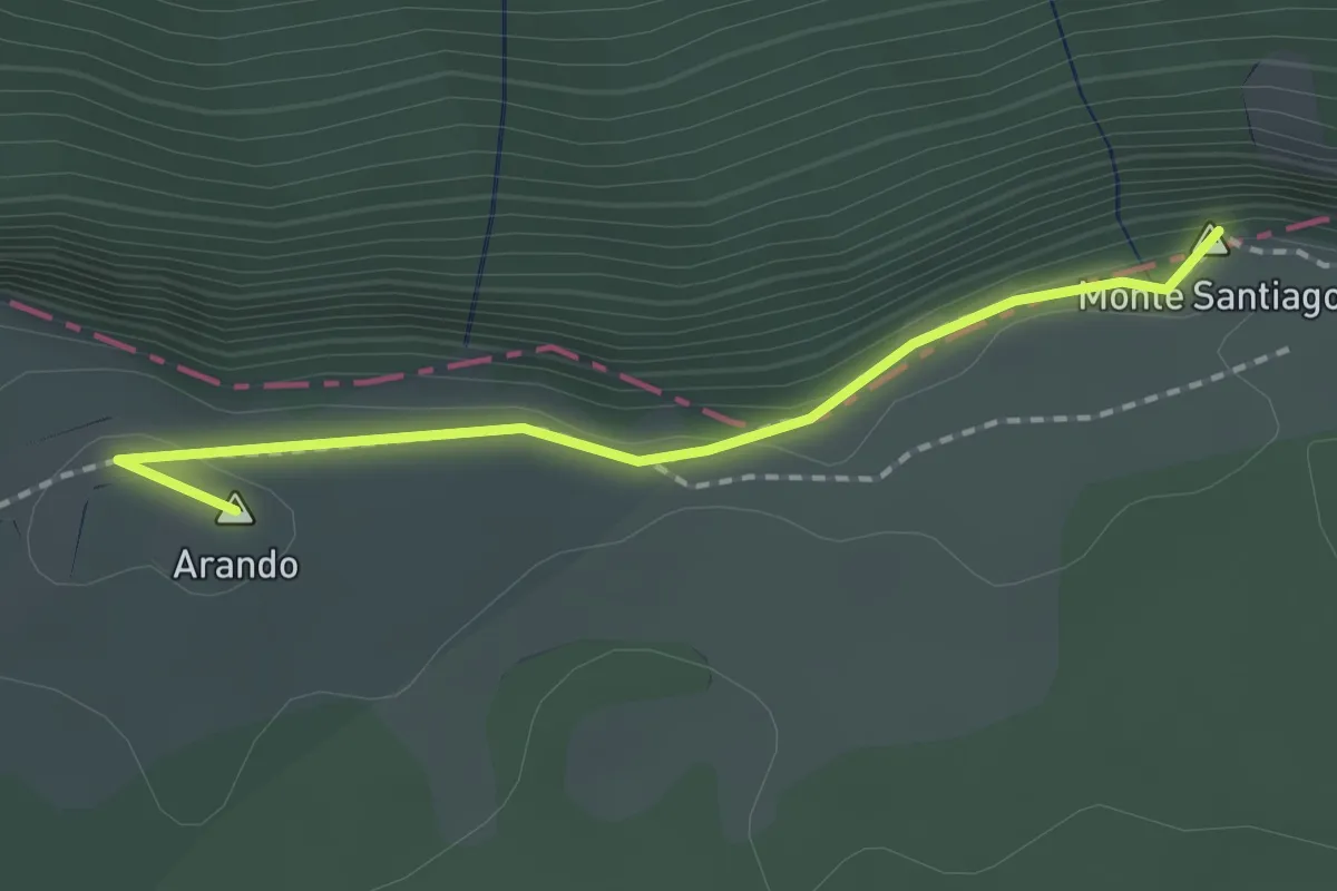
Easy · Summit
Puerto de Orduña
1.8 km · ↑ 35 m · 30 min · 11 km away
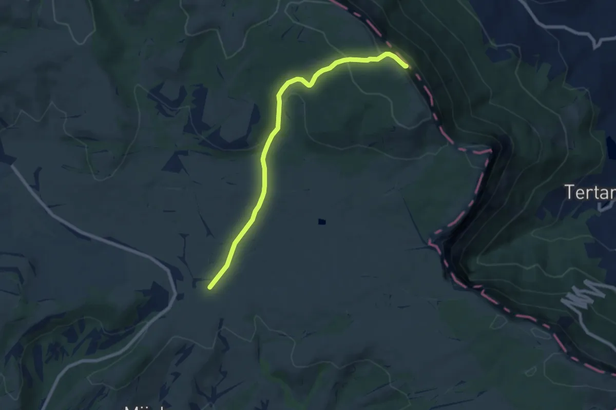
Medium · Summit
Dehesa del agua
7.6 km · ↑ 238 m · 2 h 19 min · 11 km away
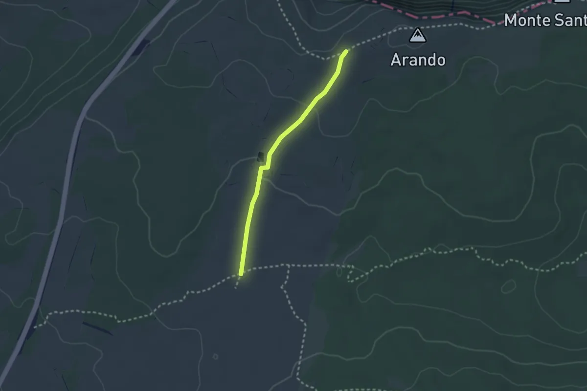
Easy · Trail
Charca del Cortón
2.4 km · ↑ 45 m · 40 min · 11 km away
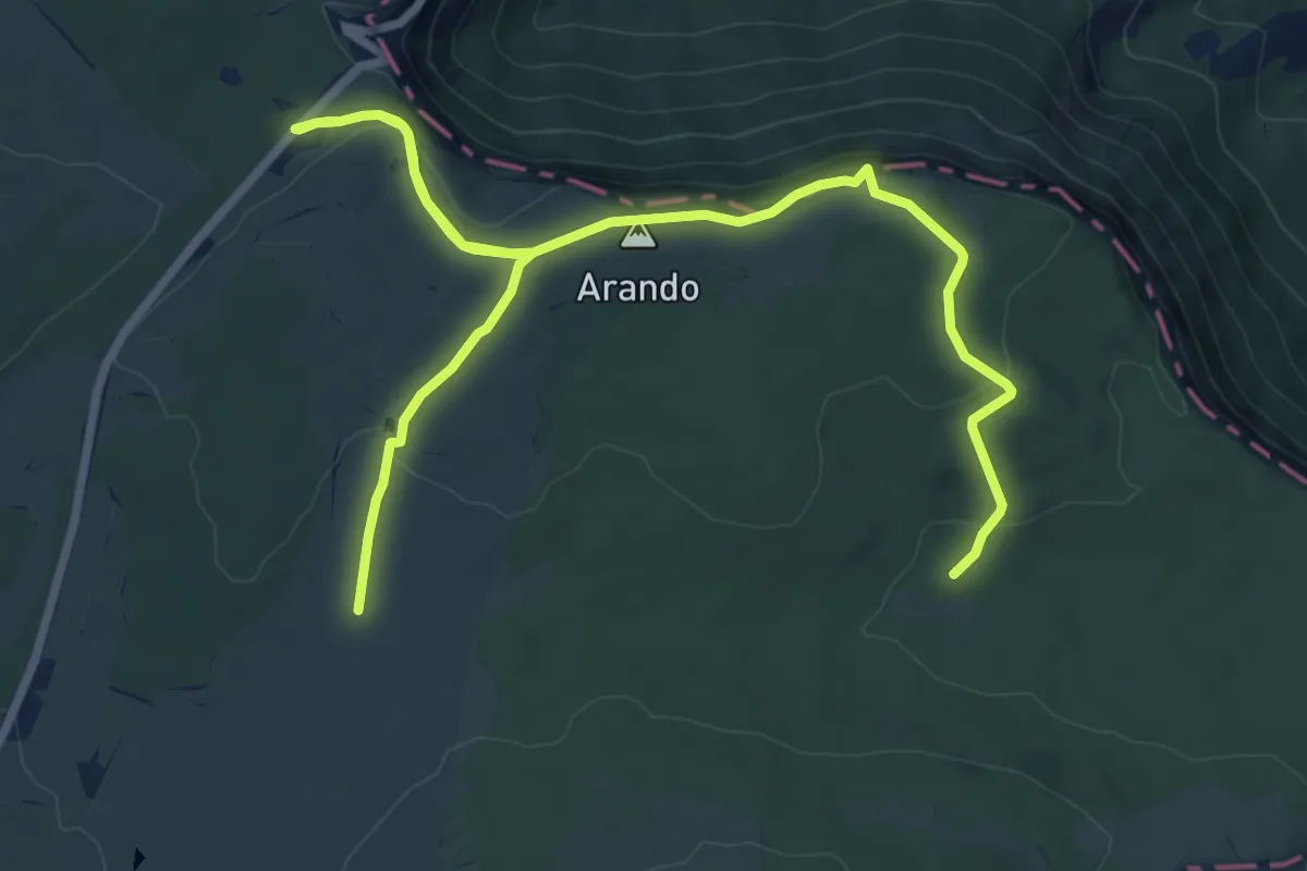
Easy · Summit
Circular de los usos humanos
5.8 km · ↑ 211 m · 1 h 54 min · 12 km away
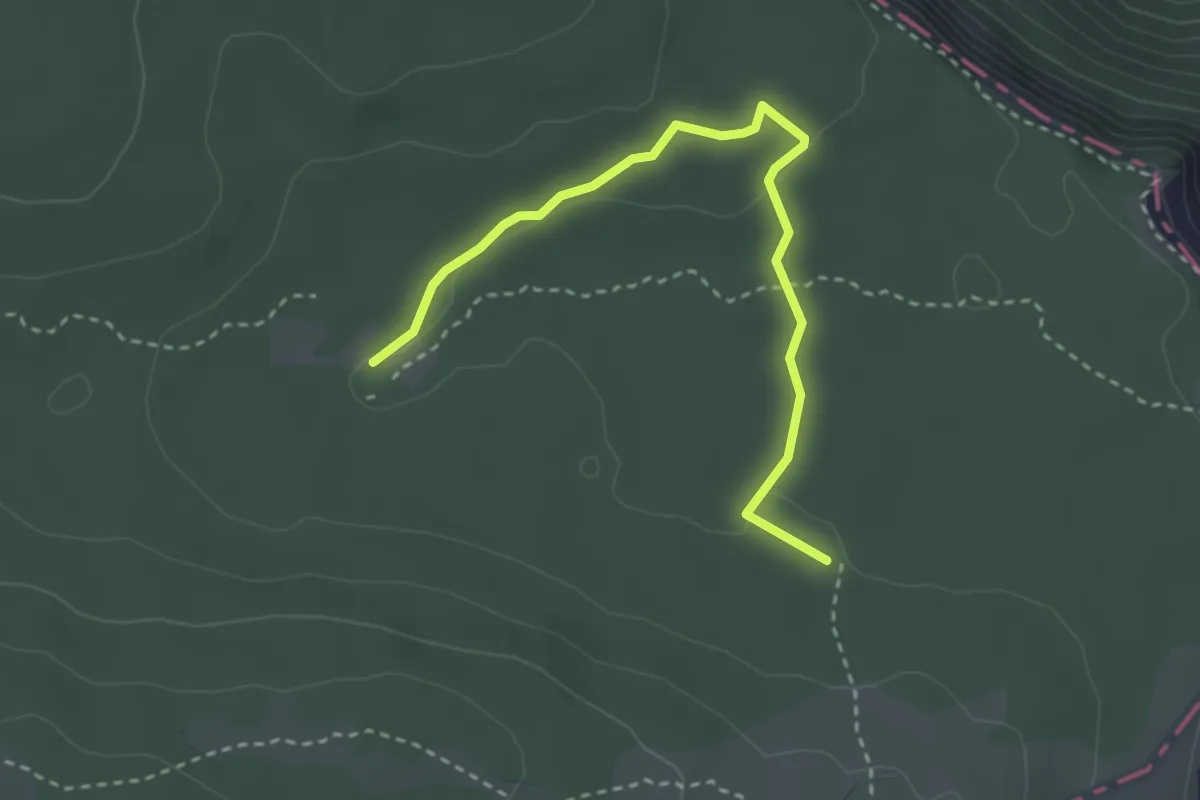
Easy · Trail
Senda del Hayedo
3.5 km · ↑ 31 m · 53 min · 12 km away
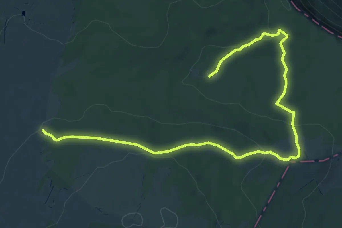
Easy · Trail
Circular del Bosque
4.6 km · ↑ 122 m · 1 h 23 min · 12 km away
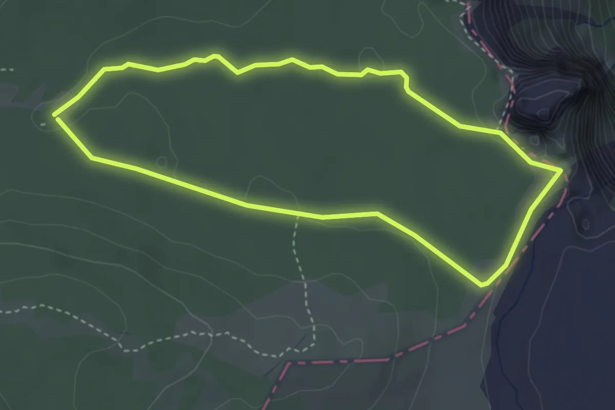
Easy · Trail
Circular del Karst
3.6 km · ↑ 41 m · 59 min · 12 km away
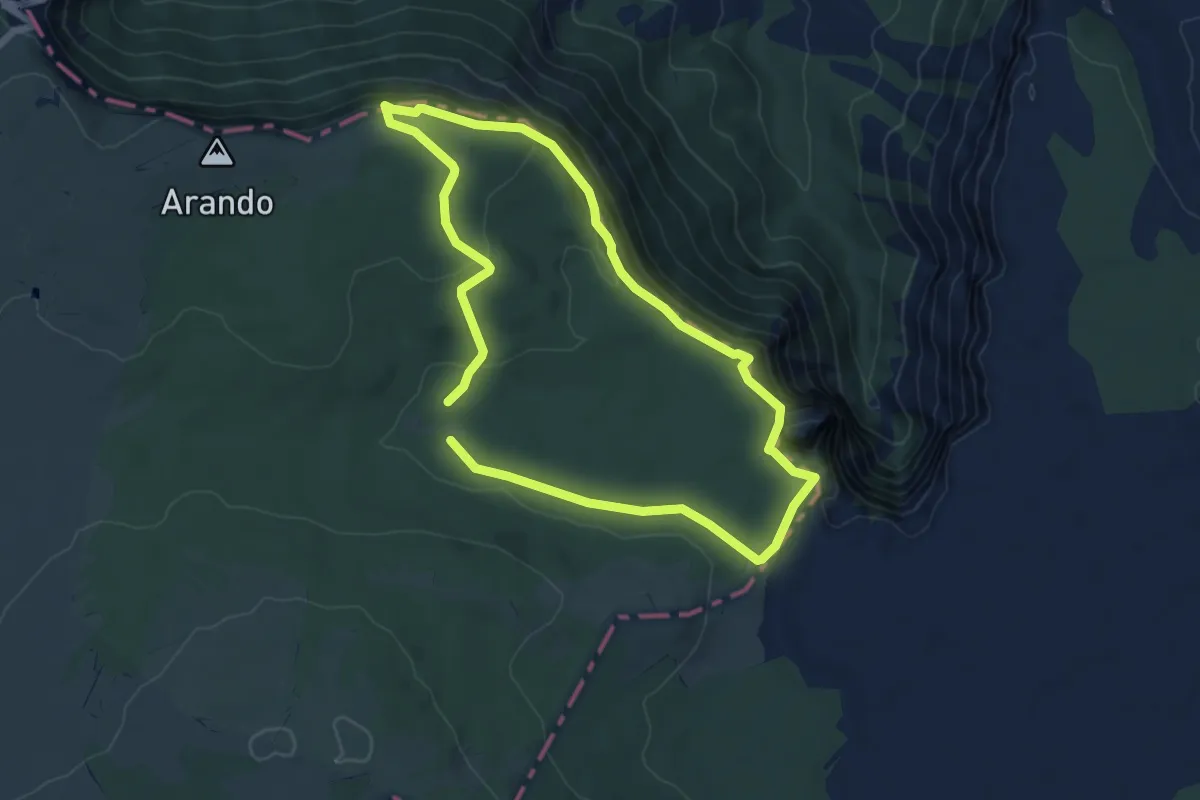
Easy · Summit
Circular de los Miradores
6.1 km · ↑ 229 m · 2 h 1 min · 12 km away
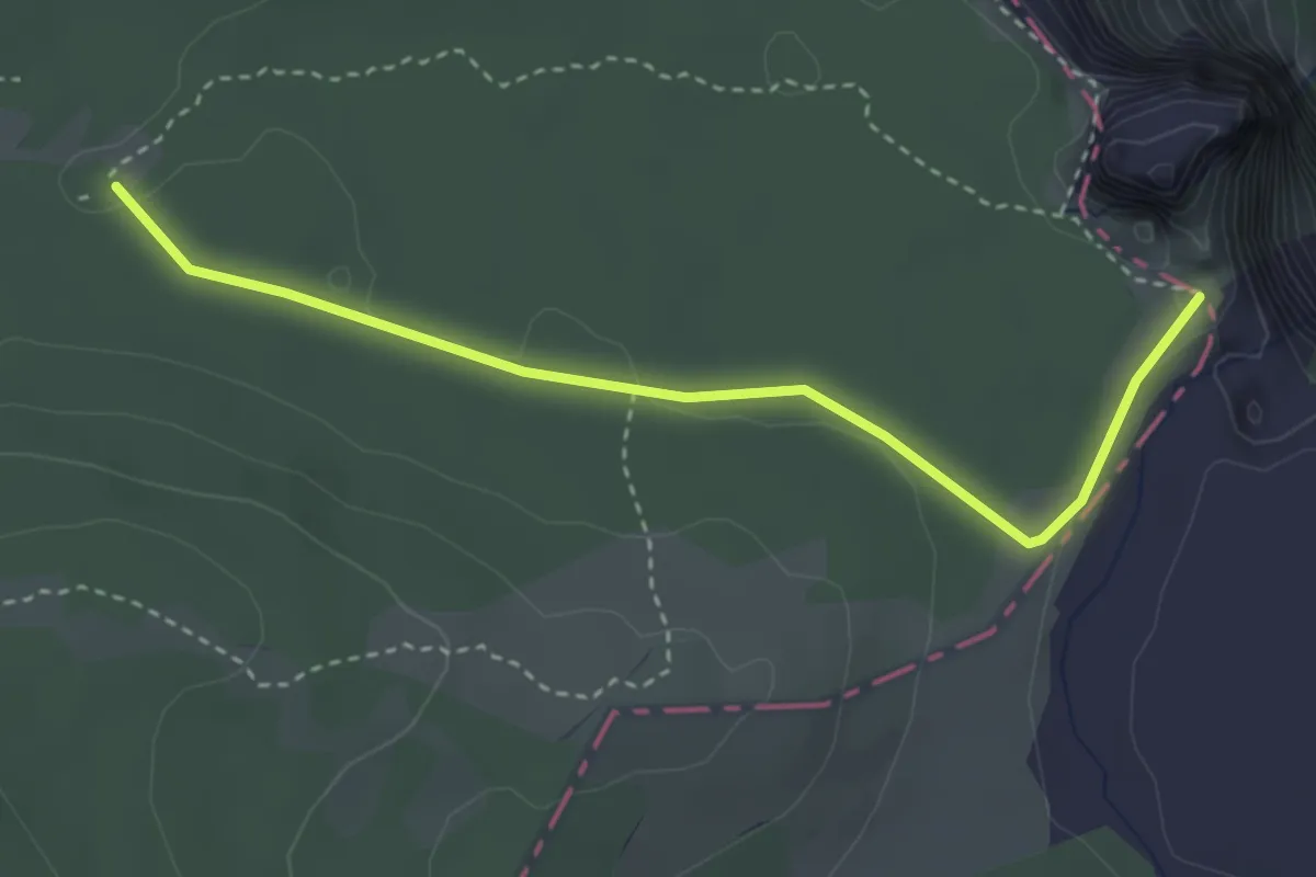
Easy · Trail
Salto del Nervión
3.6 km · ↑ 45 m · 58 min · 12 km away
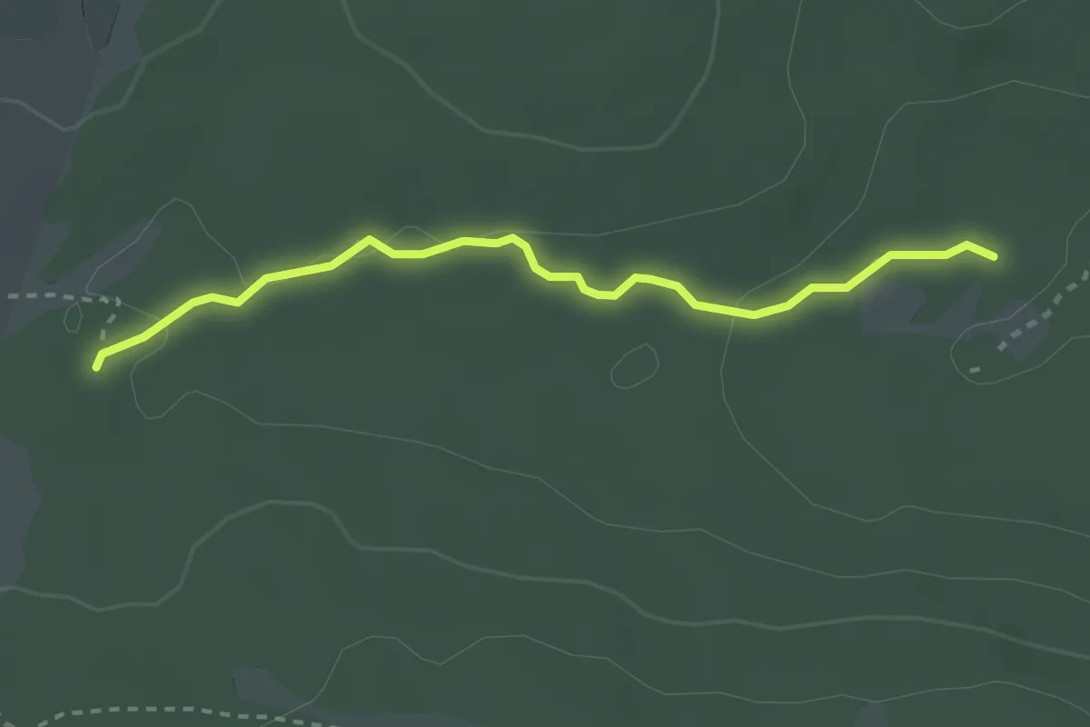
Easy · Trail
Senda de la Dehesa
2.9 km · ↑ 36 m · 46 min · 12 km away
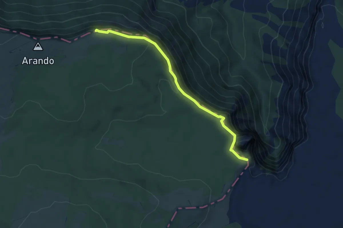
Easy · Summit
Senda del Cortado
5.4 km · ↑ 288 m · 1 h 53 min · 12 km away
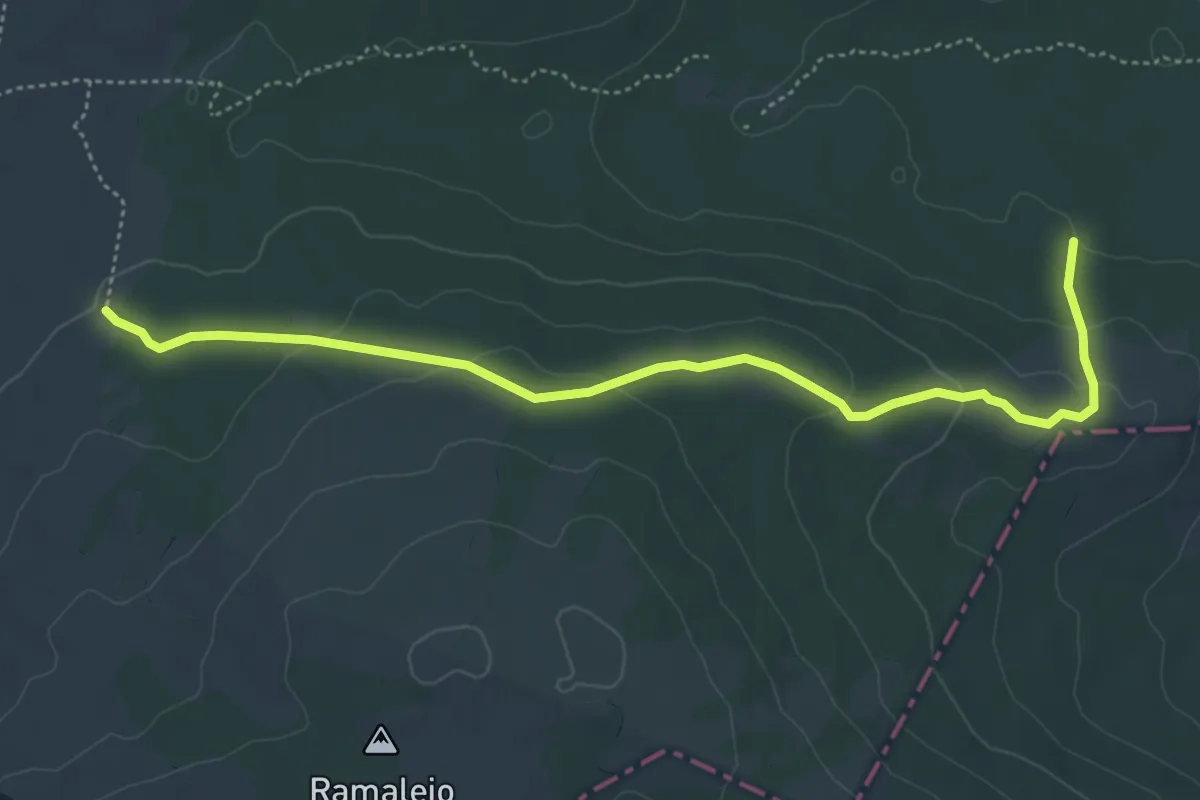
Easy · Trail
Camino de Alterla
5.7 km · ↑ 149 m · 1 h 40 min · 13 km away
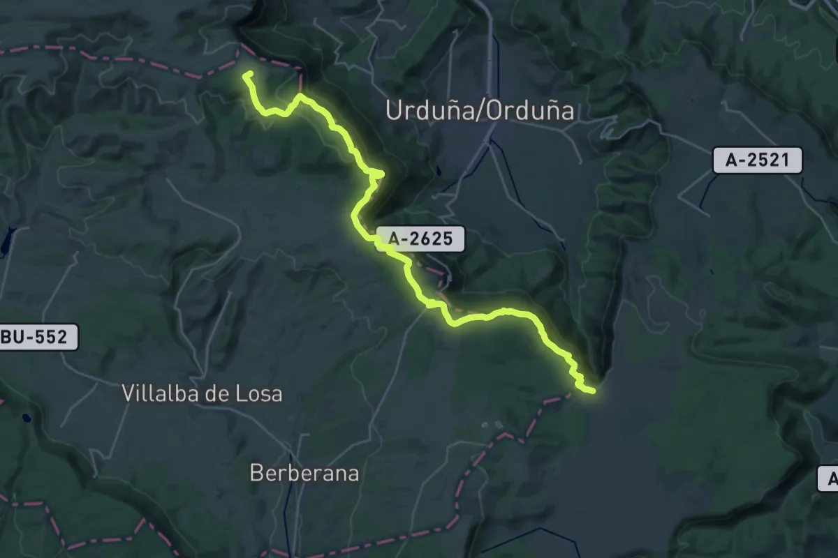
Demanding · Summit
Euskal Herriko ibilaldia
30.0 km · ↑ 1170 m · 9 h 37 min · 13 km away
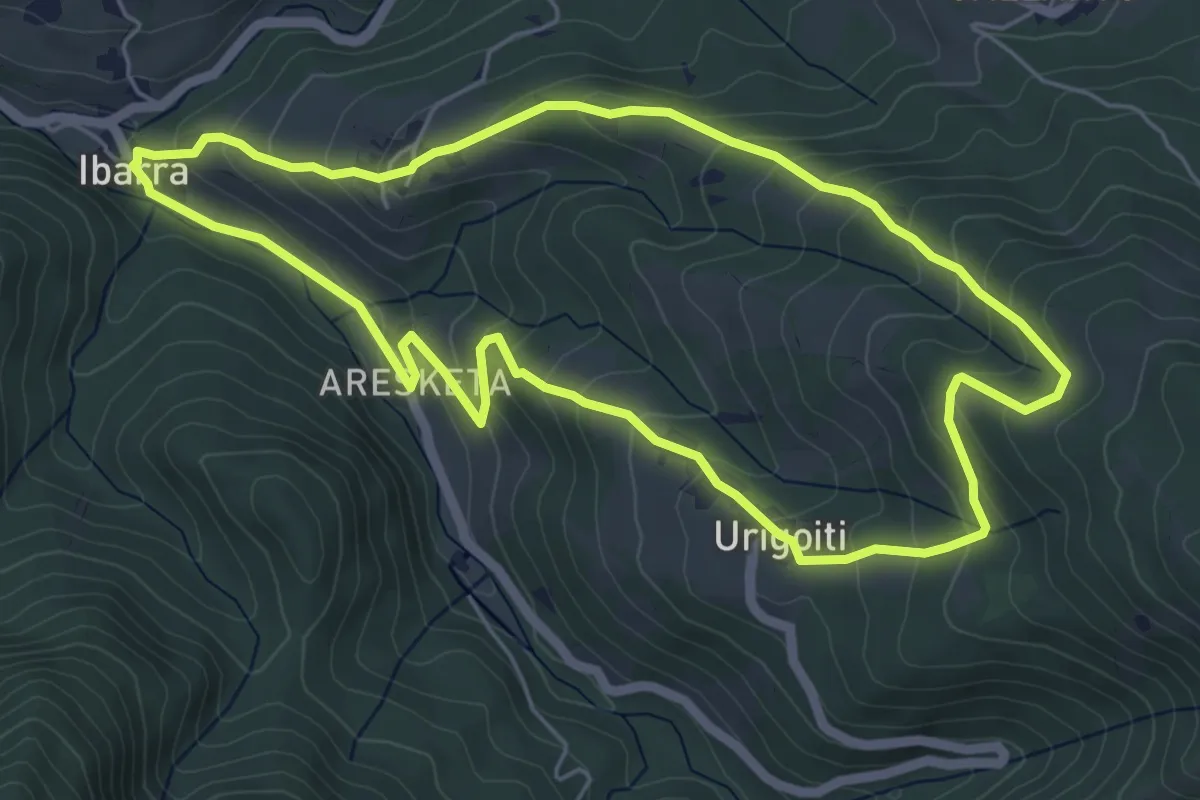
Easy · Trail
Ibarra - Urigoiti
5.9 km · ↑ 316 m · 2 h 10 min · 13 km away
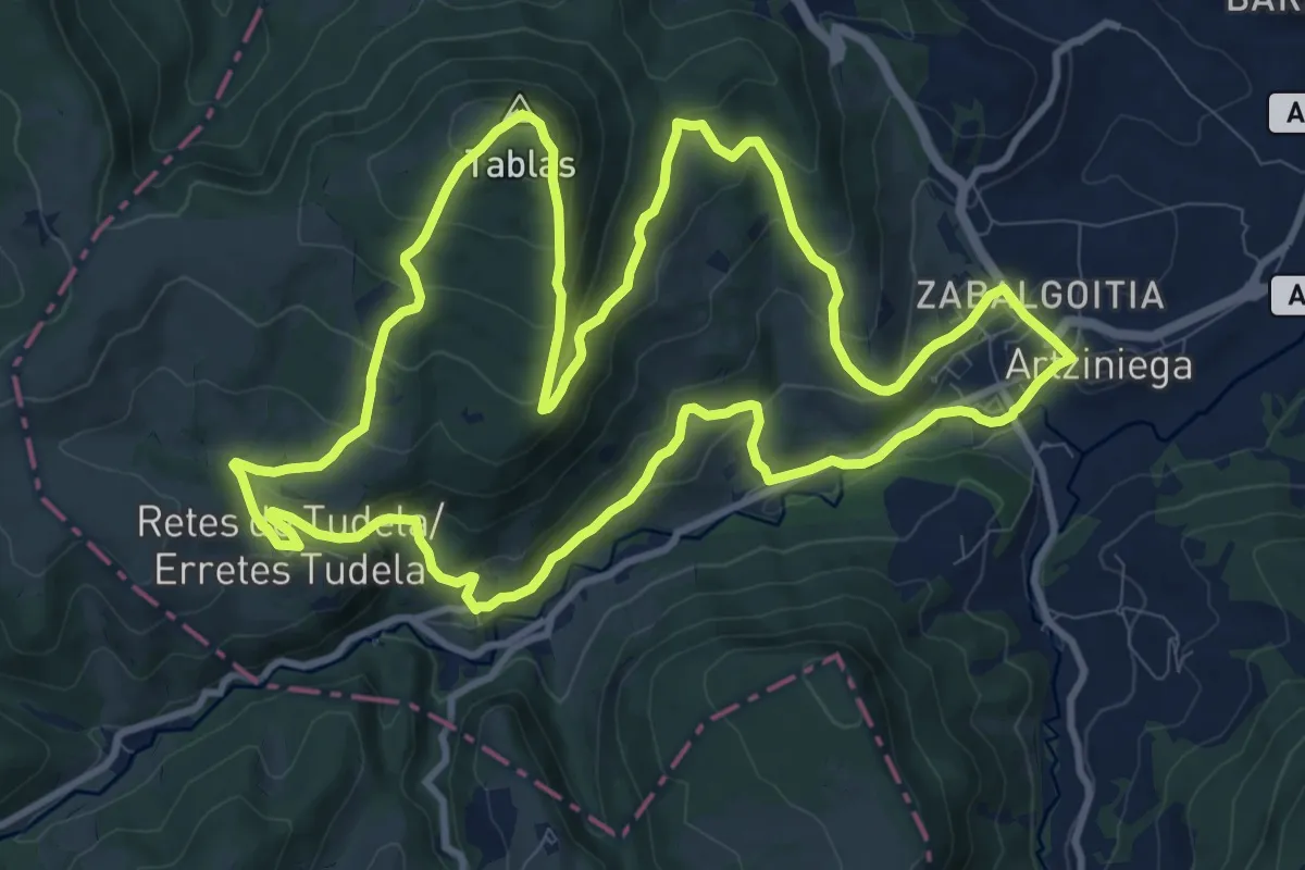
Medium · Summit
Artziniega
12.3 km · ↑ 555 m · 4 h 17 min · 13 km away
Easy · Trail
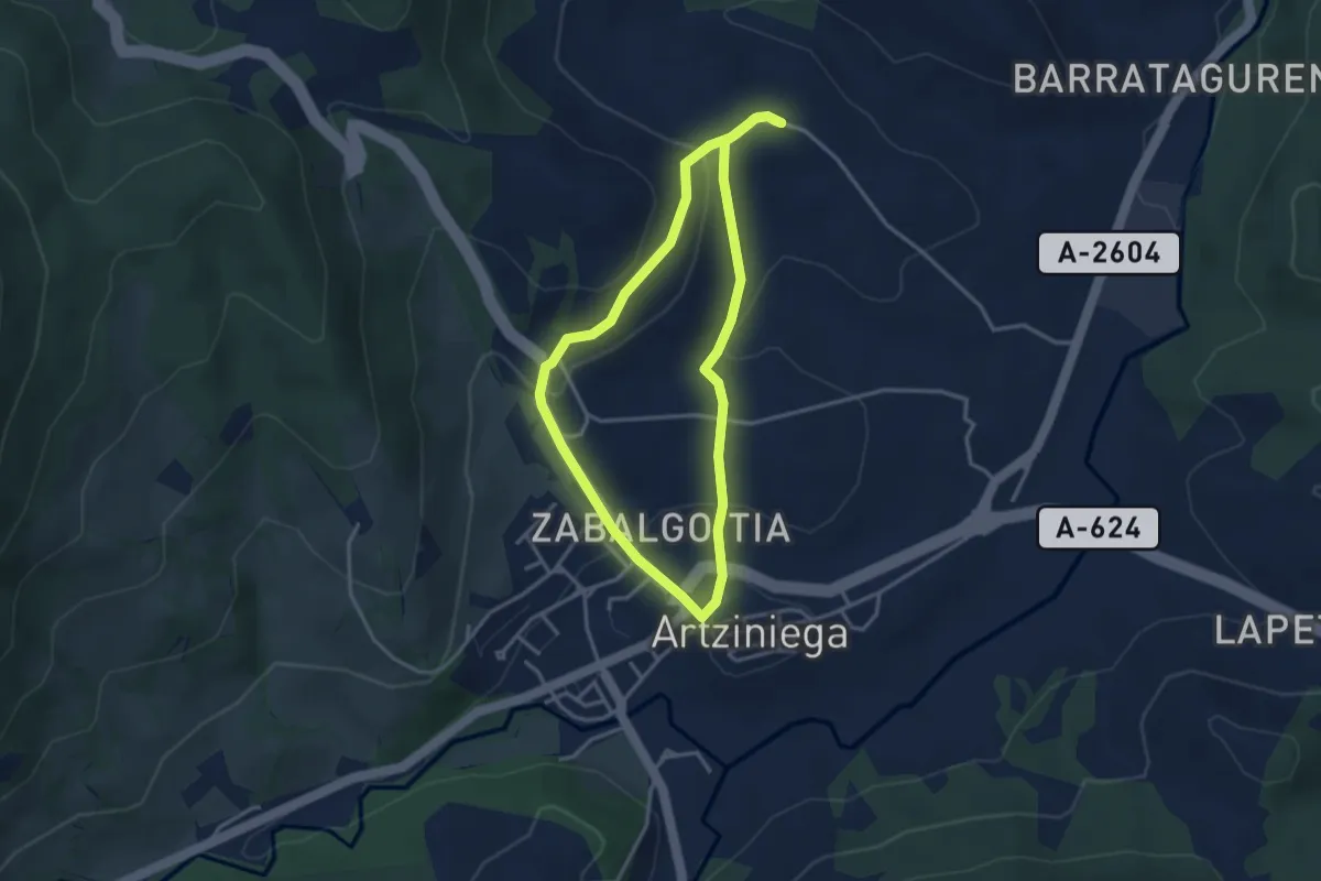
Tras las huellas de los arrieros
3.3 km · ↑ 106 m · 1 h 3 min · 13 km away
Easy · Trail
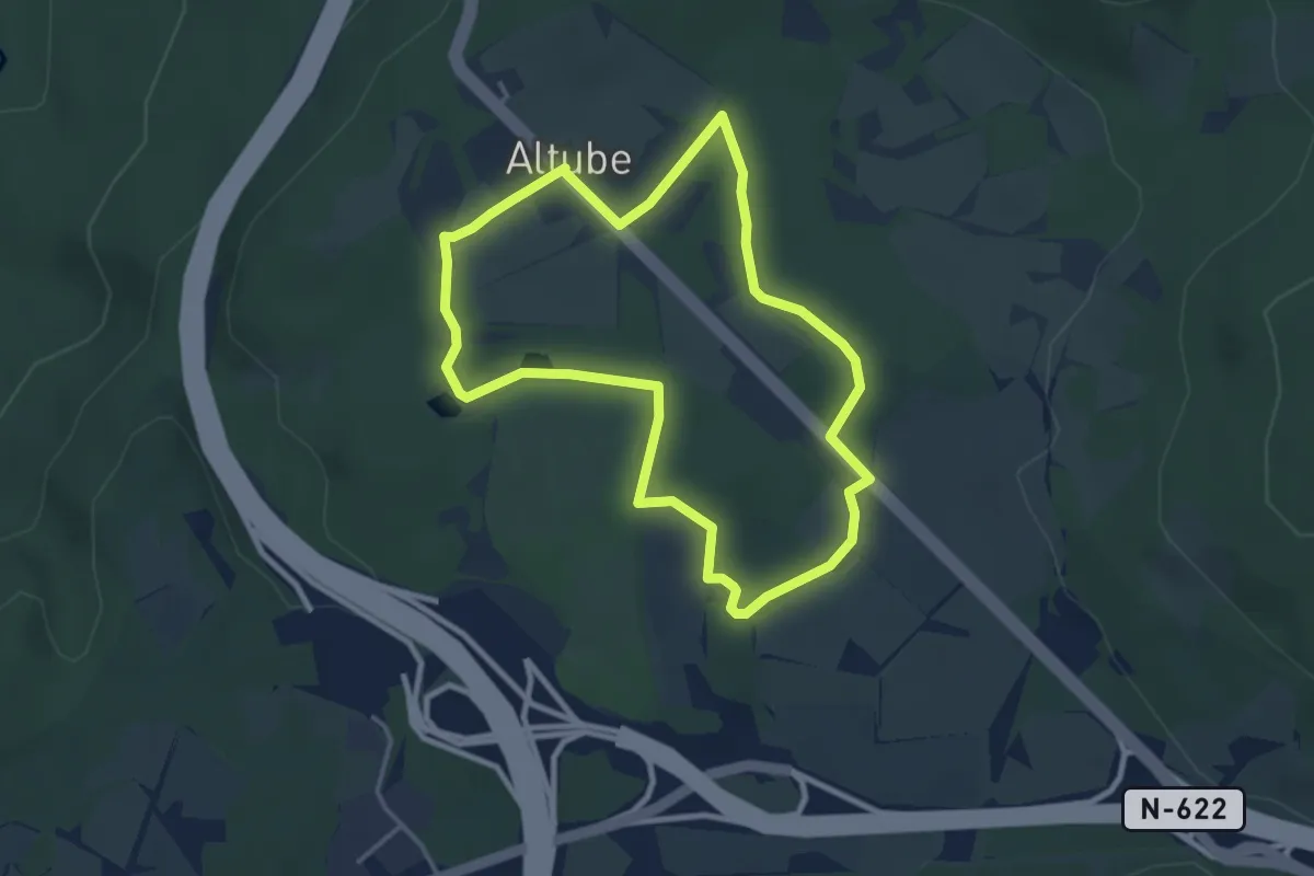
Altubeko hezegunea
3.7 km · ↑ 22 m · 58 min · 14 km away