Trails near Arrasate / Mondragón
53 hikes starting within 15 km, nearest first.
Nearest first, page 1 of 2
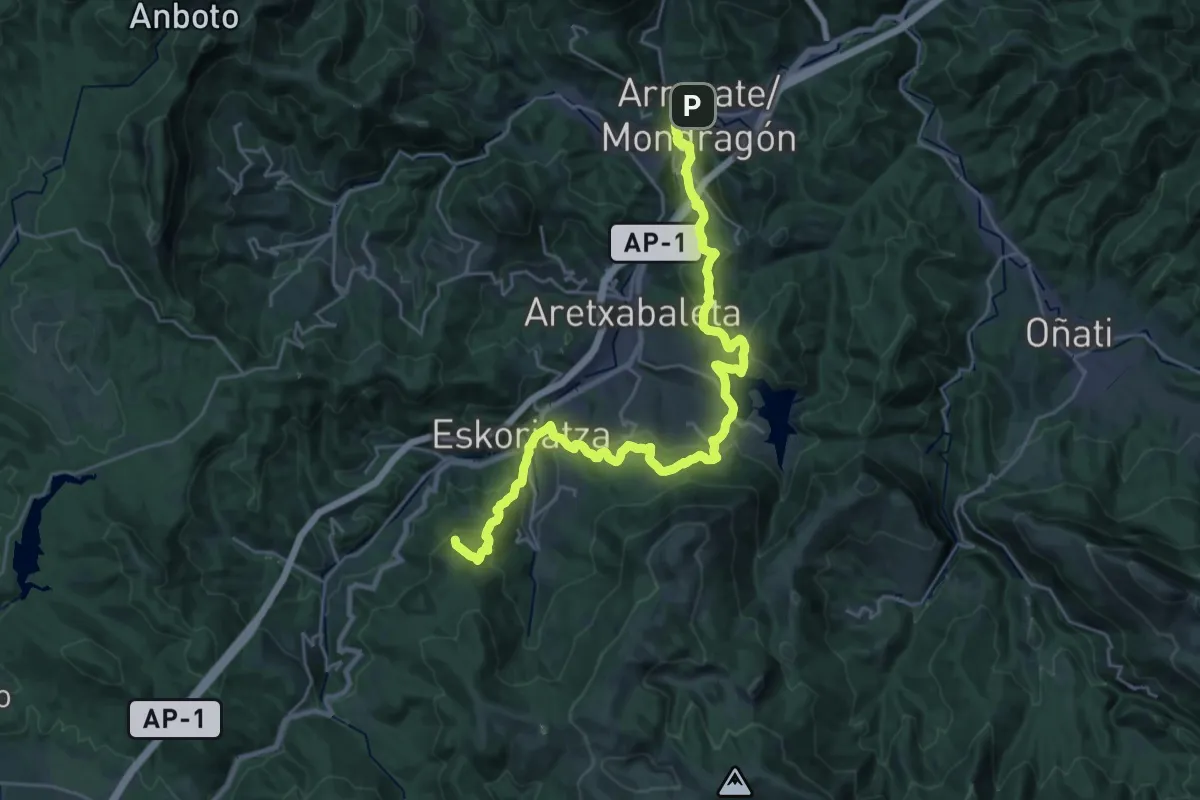
Demanding · Summit
E2 Hartzaren Urratsa: Arrasate - Leintz Gatzaga
31.3 km · ↑ 1300 m · 10 h 12 min · under 1 km away
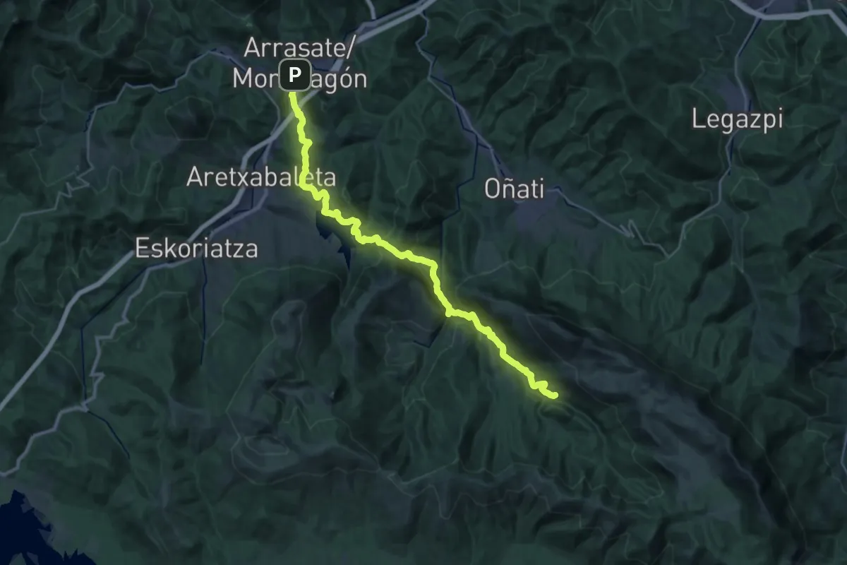
Demanding · Trail
Arrasate-Arantzazu erromesbidea
16.4 km · ↑ 1066 m · 6 h 9 min · under 1 km away
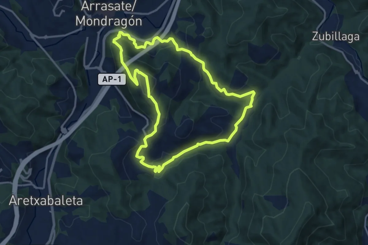
Medium · Summit
Arrasate-Bedoña-Arrasate (Erregebidea-Bedoña)
10.0 km · ↑ 474 m · 3 h 31 min · 1 km away
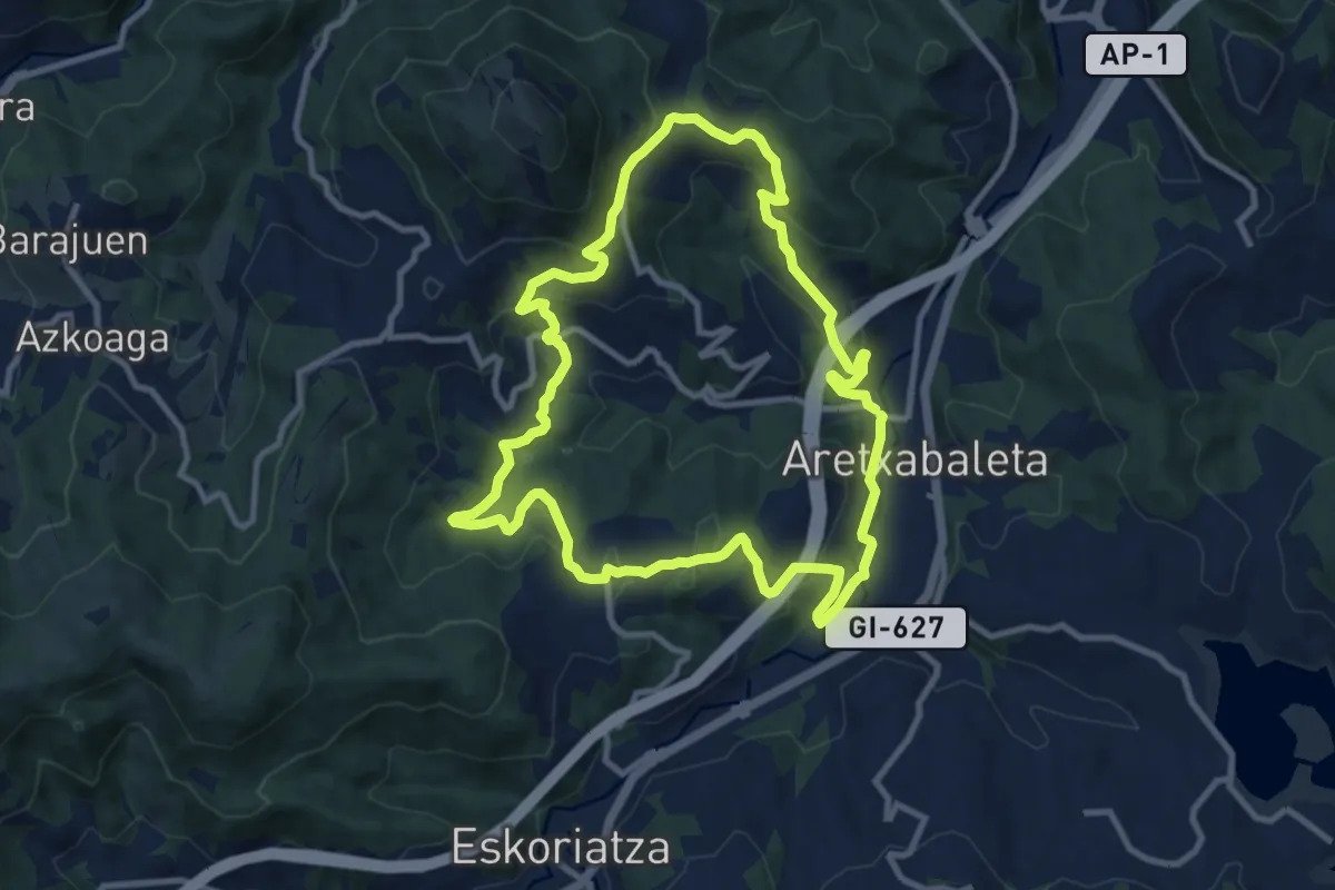
Medium · Trail
Muga ertzeko bidea
10.7 km · ↑ 434 m · 3 h 37 min · 3 km away
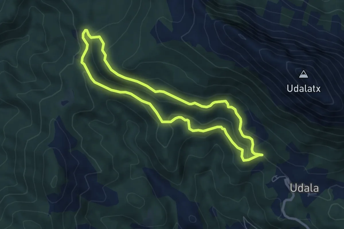
Easy · Summit
Udala-Besaide-Udala
6.1 km · ↑ 210 m · 1 h 58 min · 4 km away
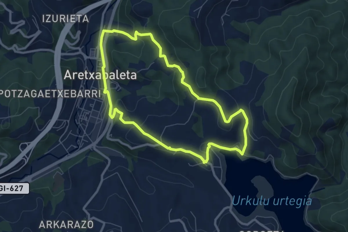
Easy · Trail
Oro-Larrino-Urkulu urtegia-Aozaratza
6.8 km · ↑ 226 m · 2 h 11 min · 4 km away
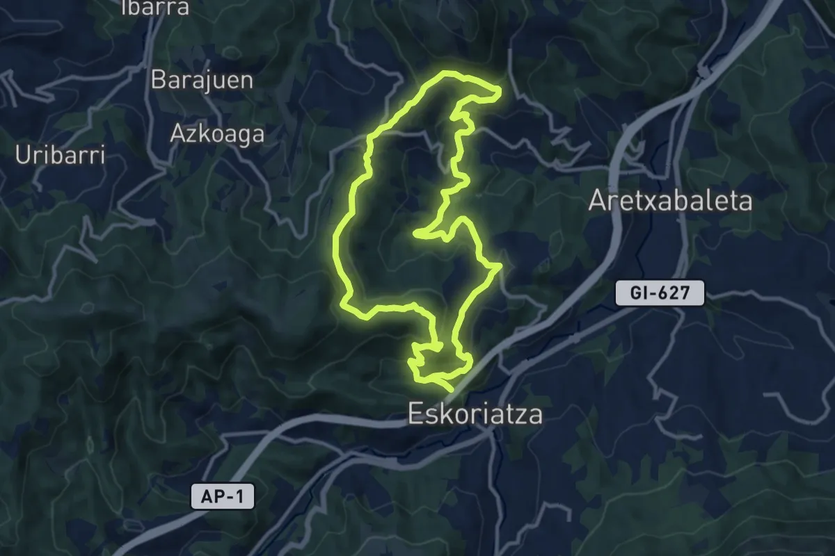
Medium · Trail
Eskolore: Latabide
11.5 km · ↑ 496 m · 3 h 56 min · 5 km away
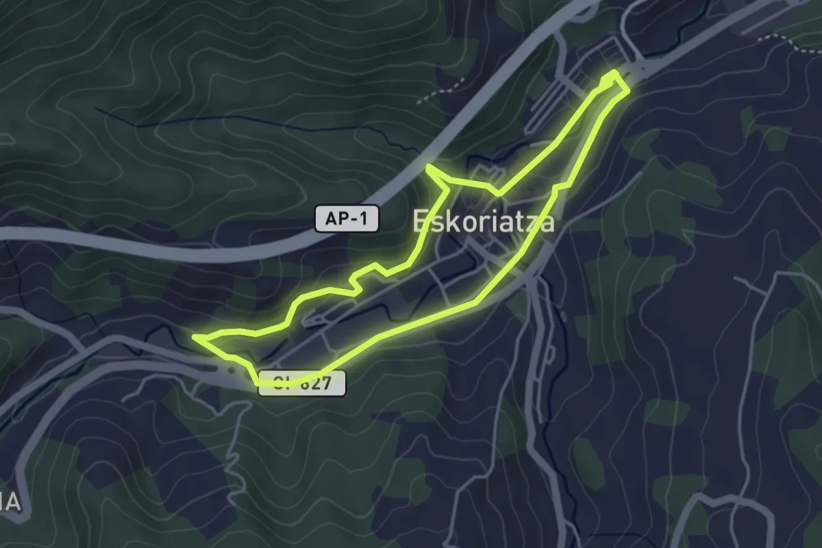
Easy · Trail
Eskoriatzaren tartea
4.0 km · ↑ 97 m · 1 h 12 min · 6 km away
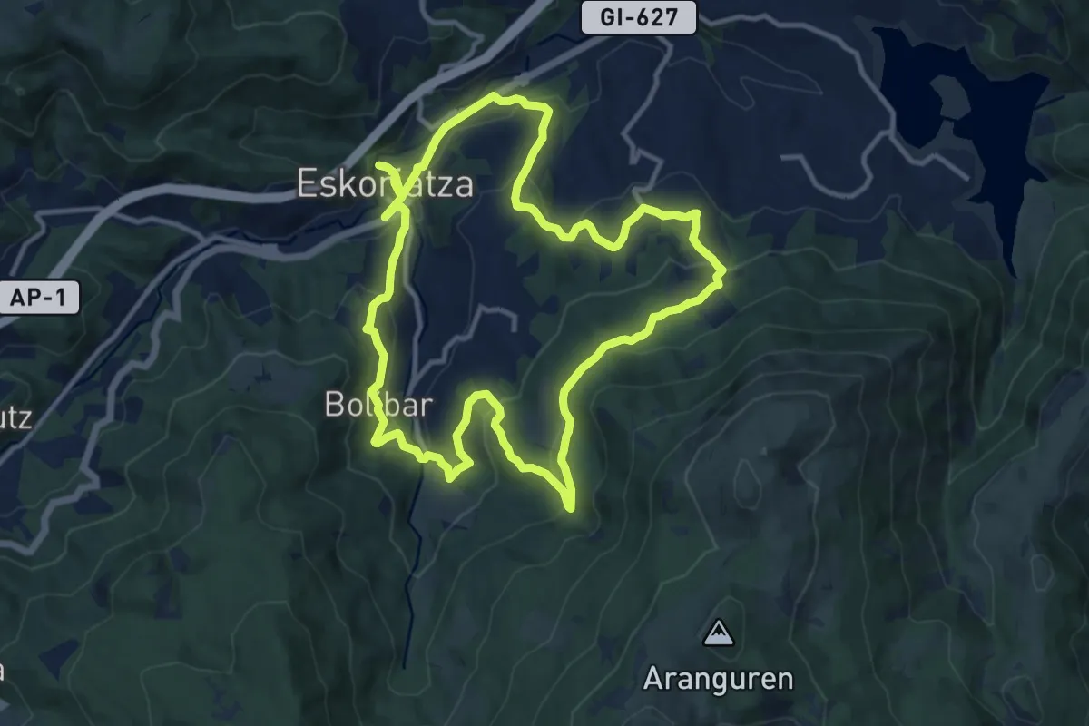
Medium · Trail
Eskolore Mandobide
12.3 km · ↑ 496 m · 4 h 10 min · 6 km away
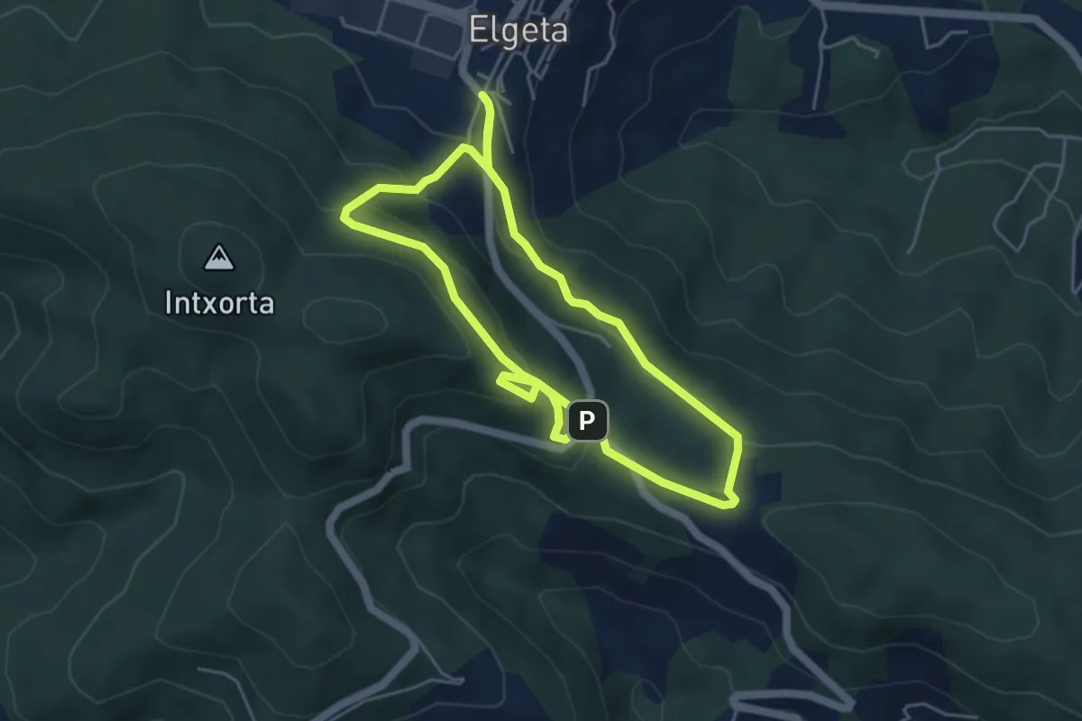
Easy · Trail
Intxortako atea
4.7 km · ↑ 248 m · 1 h 41 min · 7 km away
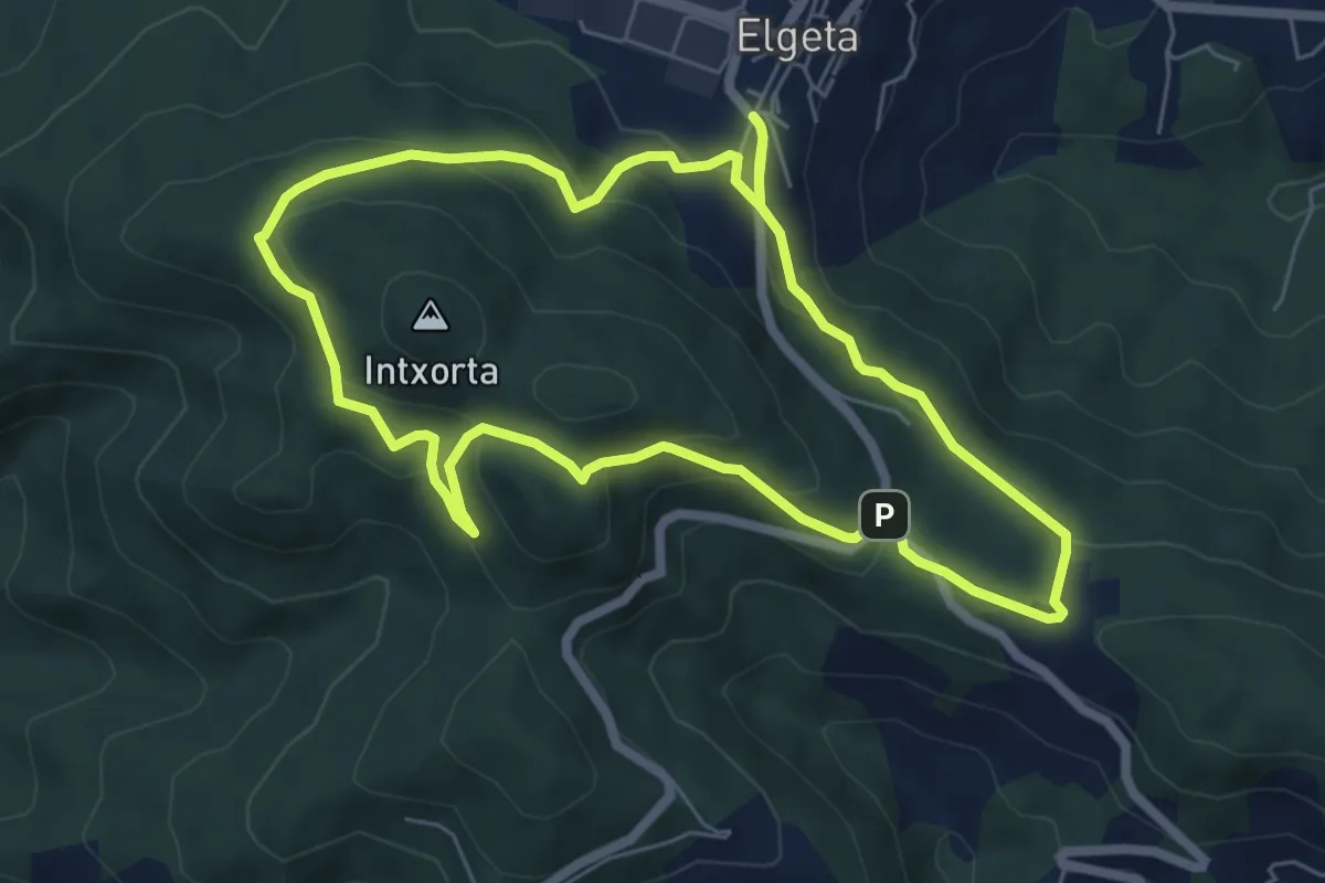
Easy · Summit
Intxorta - Asentzio
6.6 km · ↑ 291 m · 2 h 16 min · 7 km away
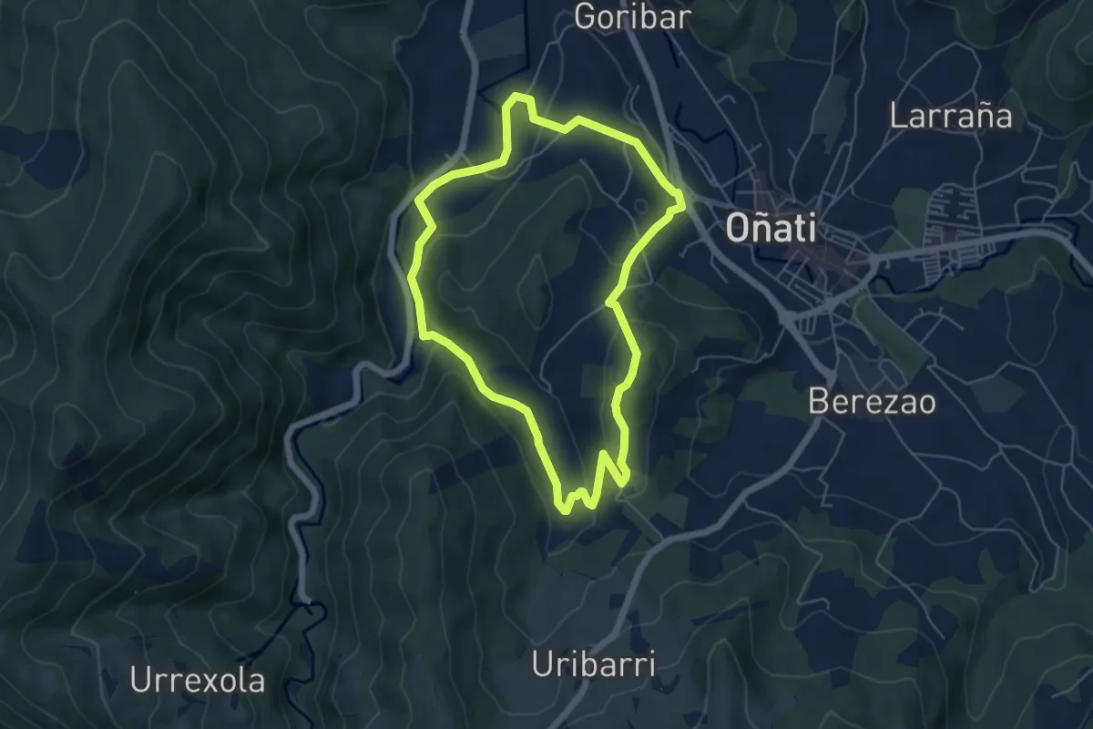
Easy · Trail
Oñati Mendebaldea: Garagaltza Auzoari itzulia
5.5 km · ↑ 171 m · 1 h 45 min · 7 km away
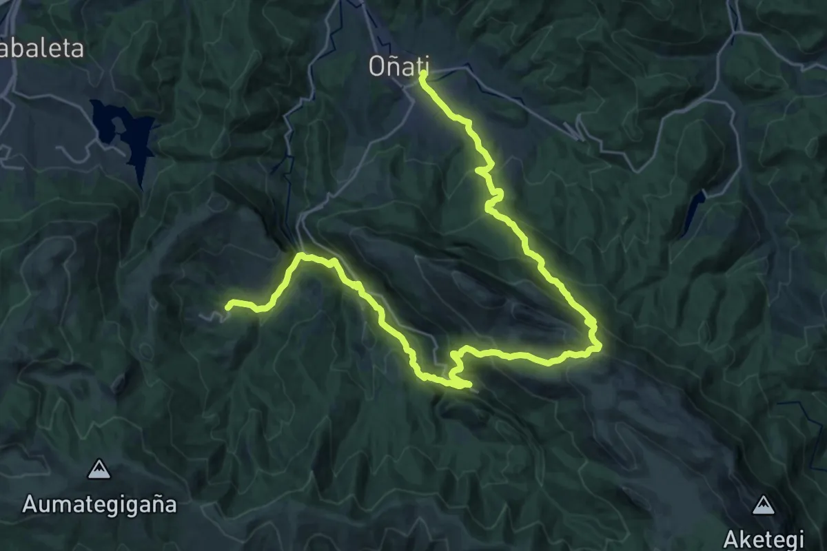
Demanding · Trail
E04 Hartzaren Urratsa: Araotz - Oñati
18.6 km · ↑ 1115 m · 6 h 58 min · 8 km away
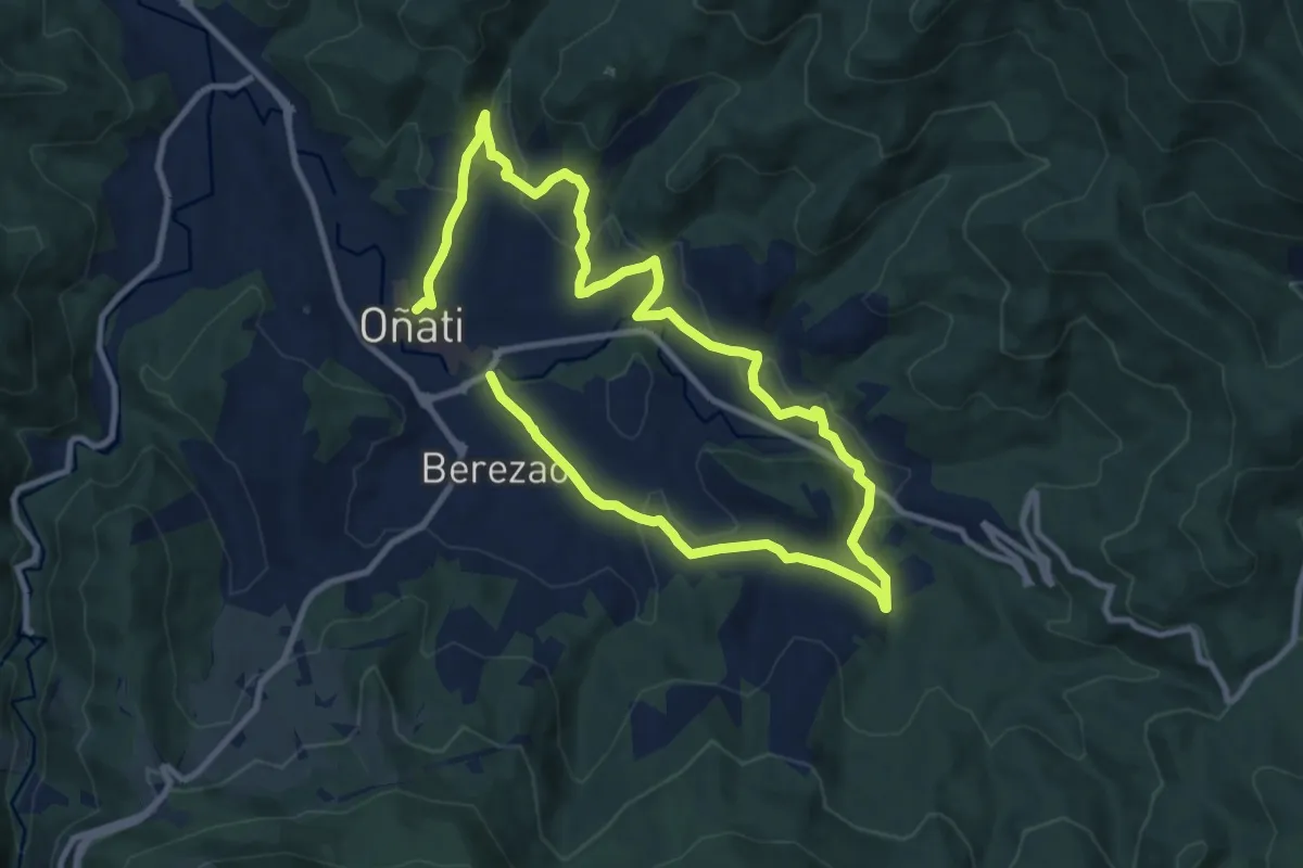
Medium · Trail
Oñati Ekialdea: Aloñapeko ibilbidea
17.7 km · ↑ 545 m · 5 h 22 min · 8 km away
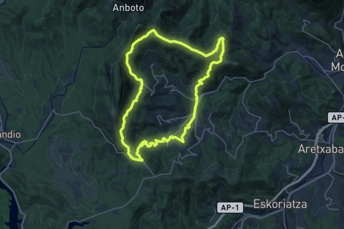
Demanding · Summit
Vuelta a Aramaio
18.3 km · ↑ 1086 m · 6 h 55 min · 8 km away
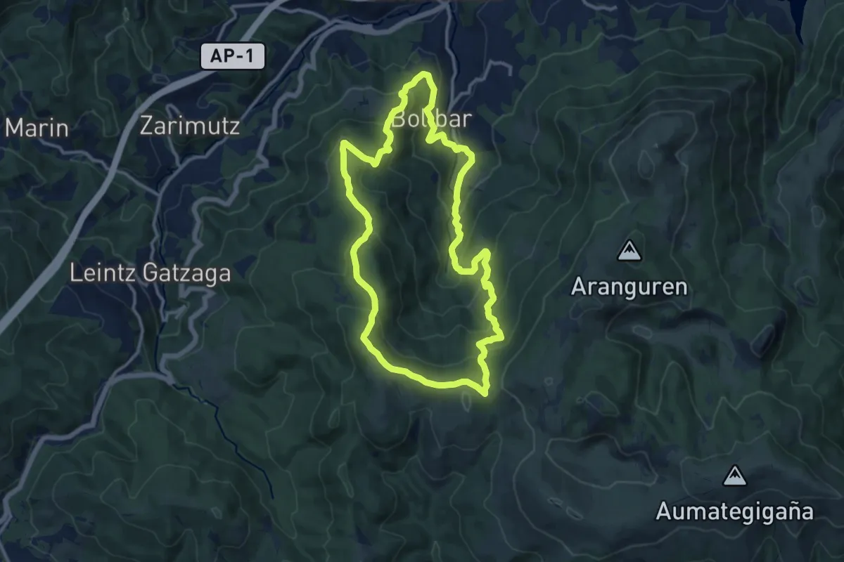
Medium · Summit
Aitzorrotz inguruak (II)
12.1 km · ↑ 620 m · 4 h 22 min · 8 km away
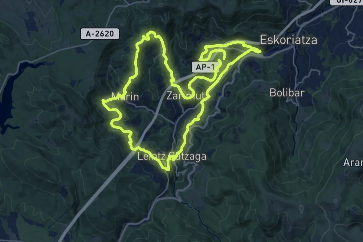
Demanding · Trail
Trenbide
20.5 km · ↑ 725 m · 6 h 43 min · 8 km away
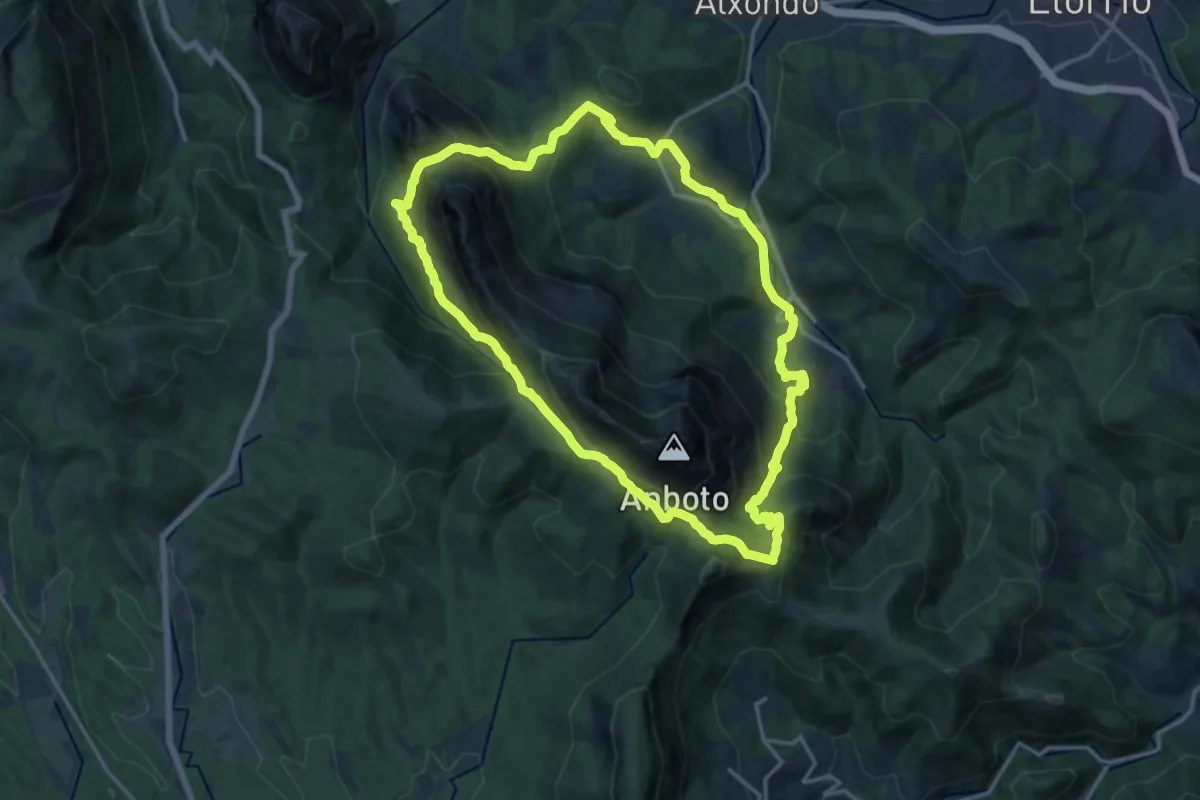
Demanding · Summit
Anbotoko bira
16.3 km · ↑ 1046 m · 6 h 20 min · 8 km away
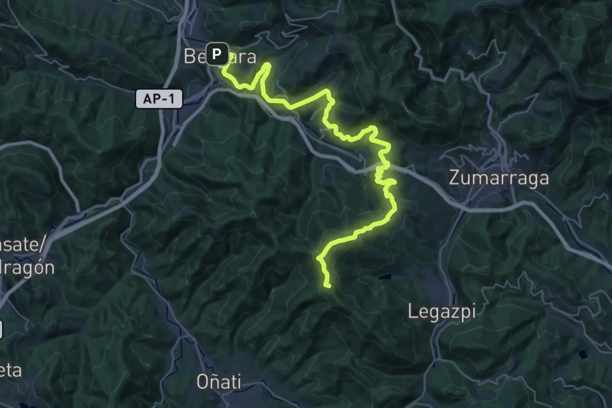
Demanding · Summit
E5 Hartzaren Urratsa: Oñati - Bergara
34.0 km · ↑ 1296 m · 10 h 50 min · 8 km away
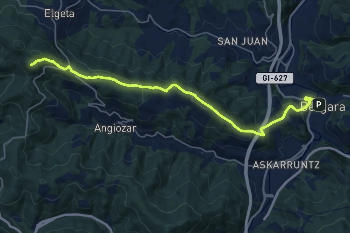
Medium · Summit
E1 Hartzaren Urratsa: Bergara - Arrasate
16.4 km · ↑ 690 m · 5 h 22 min · 8 km away
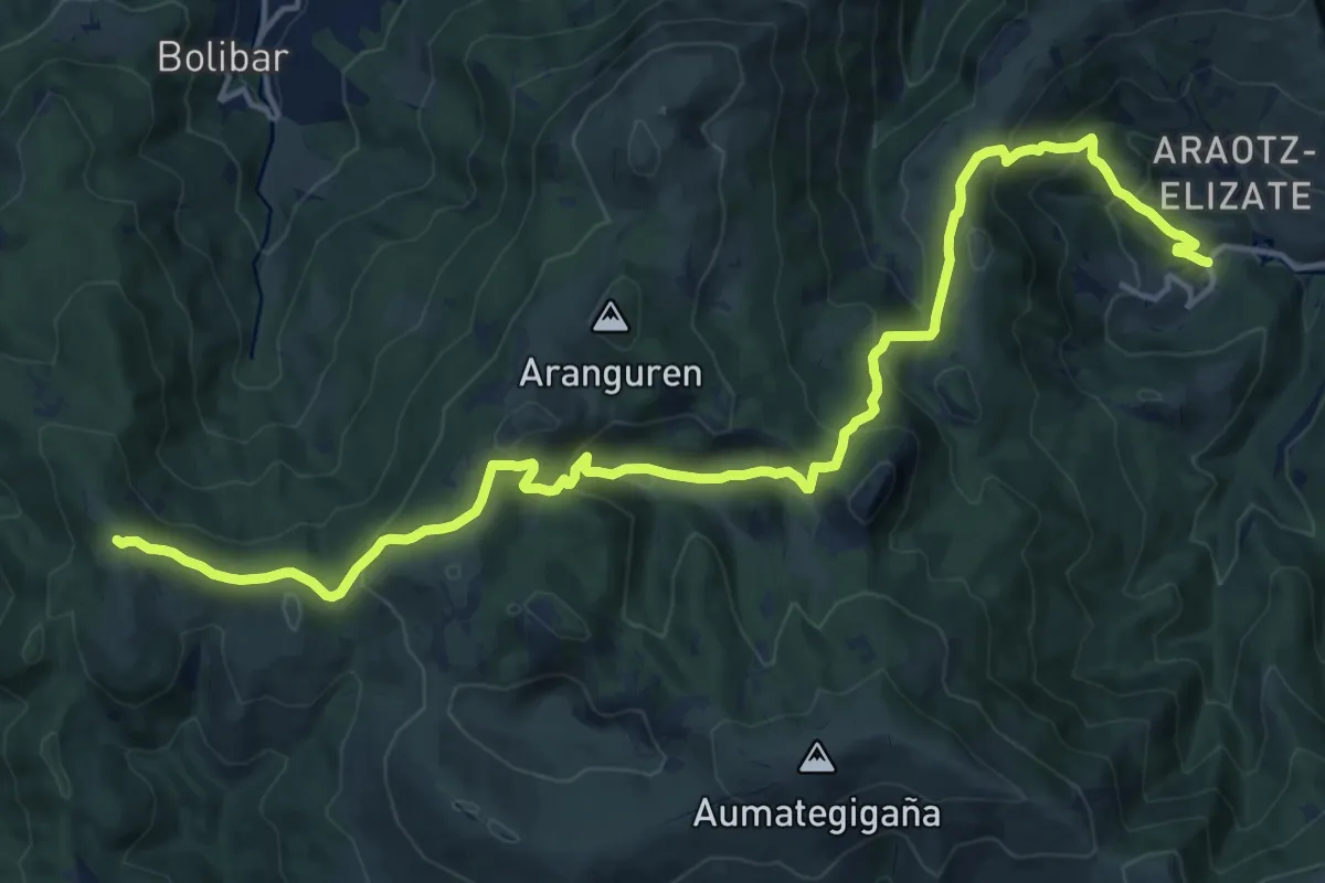
Demanding · Summit
E03 Hartzaren Urratsa: Leintz Gatzaga - Araotz
20.1 km · ↑ 1014 m · 6 h 57 min · 9 km away
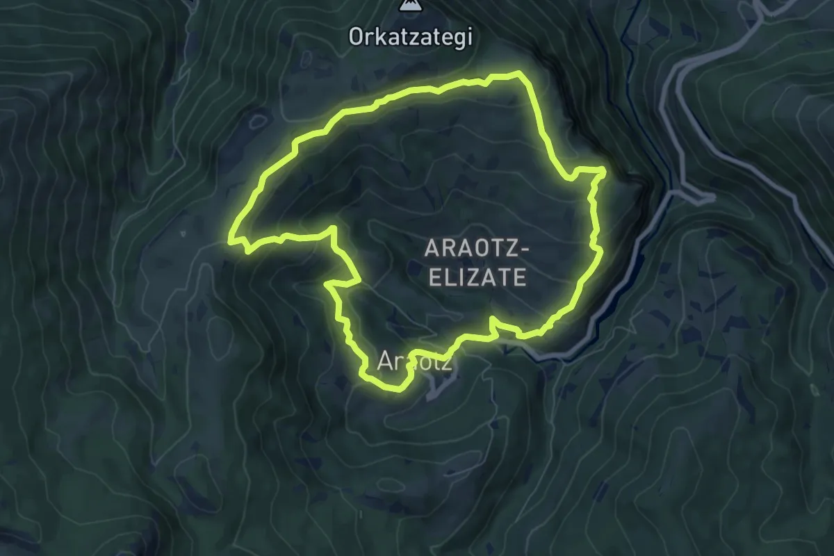
Medium · Summit
Uraren bidea
8.0 km · ↑ 377 m · 2 h 49 min · 9 km away
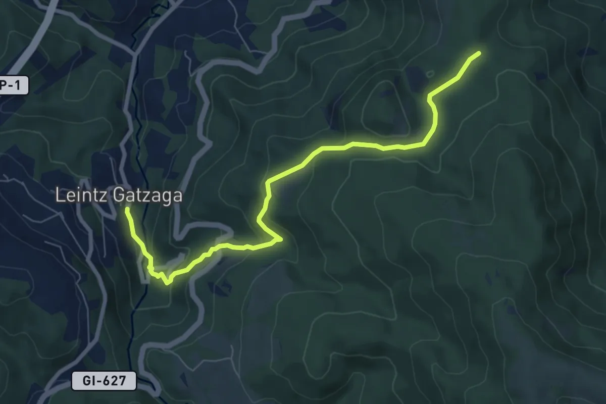
Medium · Trail
Aitzorrotz inguruak (I)
7.8 km · ↑ 359 m · 2 h 37 min · 9 km away
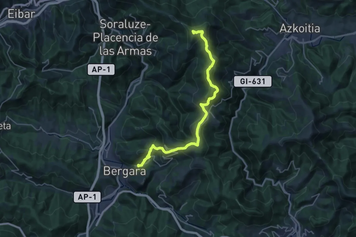
Demanding · Summit
Dolmenen ibilbidea
22.6 km · ↑ 1104 m · 7 h 43 min · 9 km away
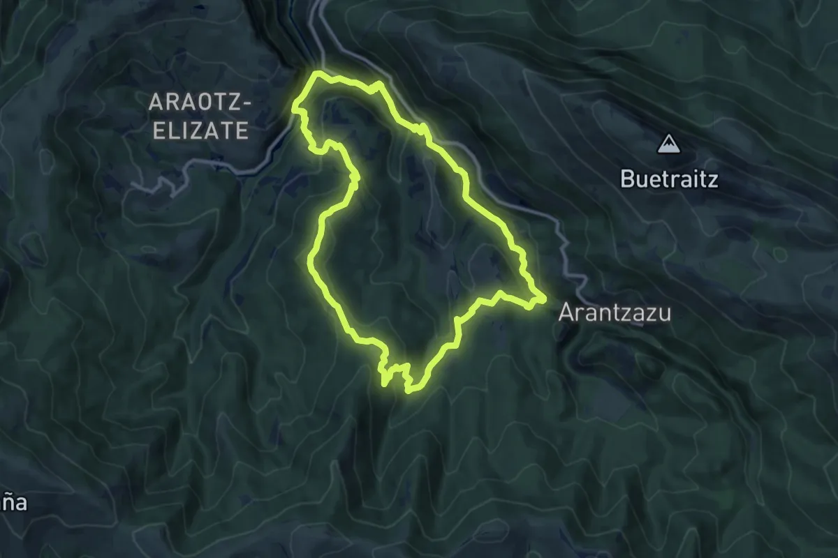
Medium · Trail
Kontrabandisten bideak
11.4 km · ↑ 556 m · 4 h 4 min · 10 km away
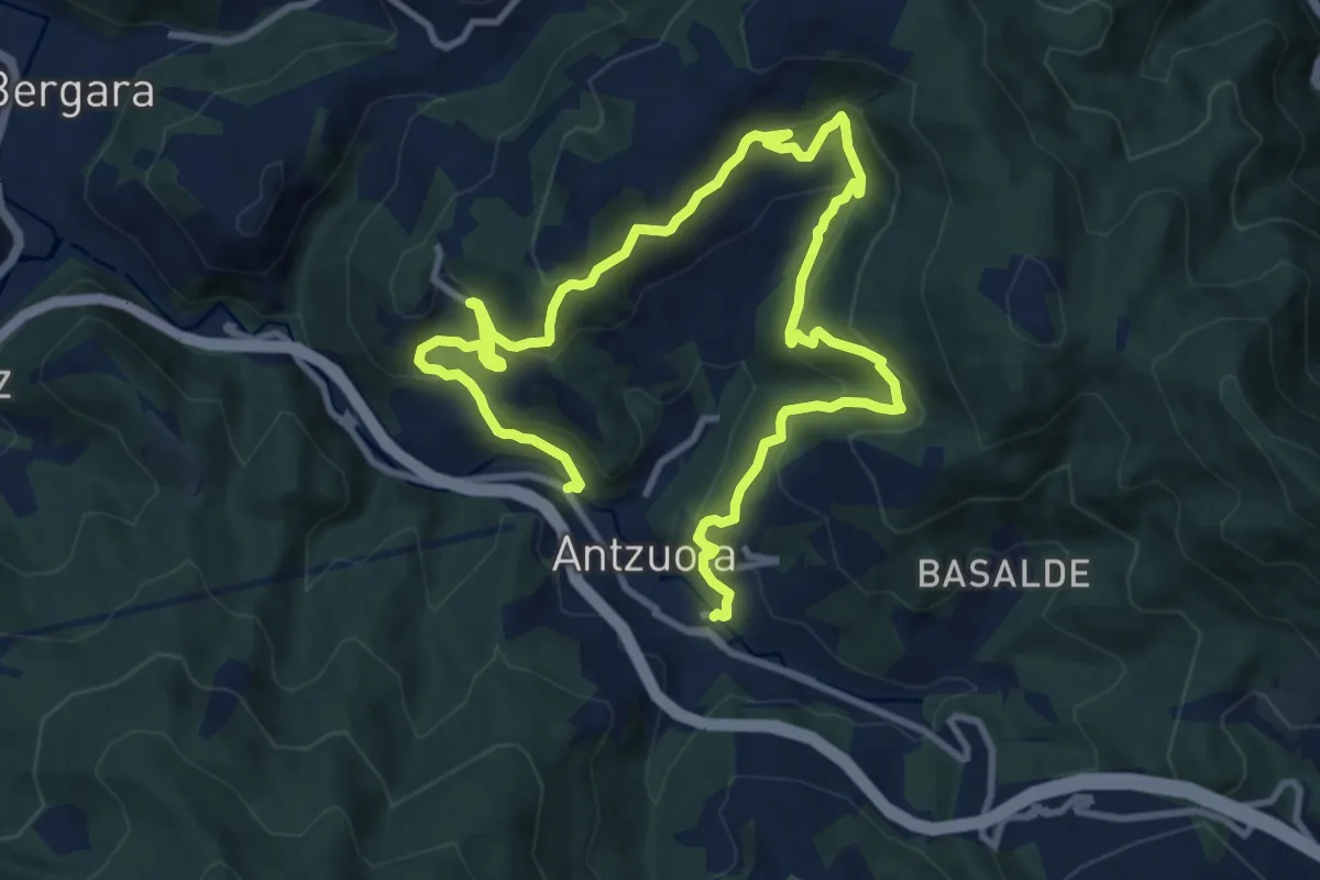
Demanding · Trail
Uzarraga-Galartza-Lizarraga-Irimoegi
16.9 km · ↑ 1031 m · 6 h 14 min · 10 km away
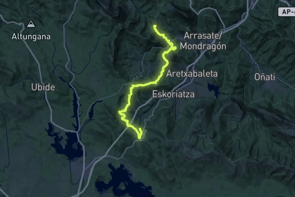
Demanding · Summit
E09 Bizkar ibilbidea: Udala - Leintz Gatzaga
42.8 km · ↑ 1905 m · 14 h 14 min · 11 km away
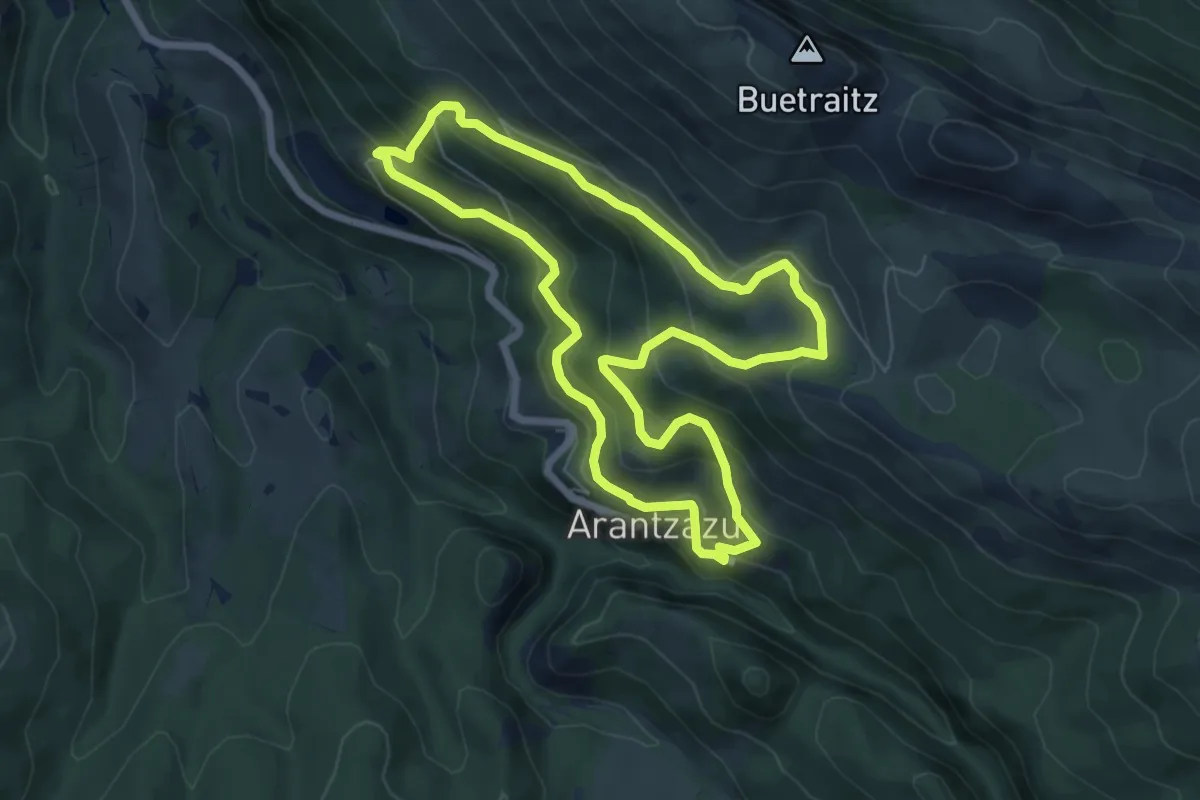
Medium · Trail
Larrez larre
6.8 km · ↑ 399 m · 2 h 33 min · 12 km away
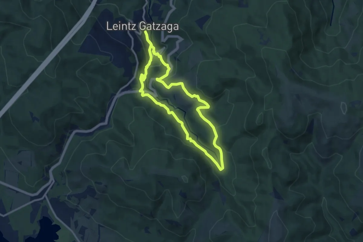
Medium · Trail
Iruerreketa
7.9 km · ↑ 322 m · 2 h 41 min · 12 km away
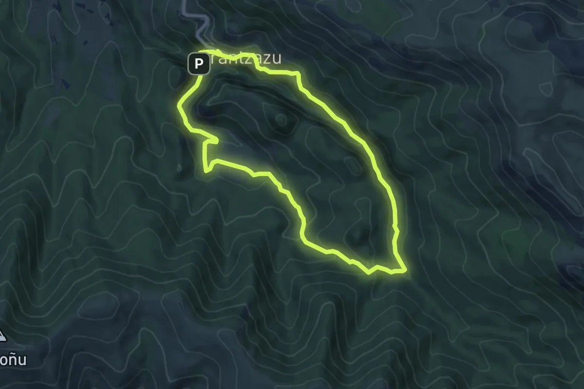
Medium · Summit
Ezkutuko bidea
7.1 km · ↑ 343 m · 2 h 31 min · 12 km away
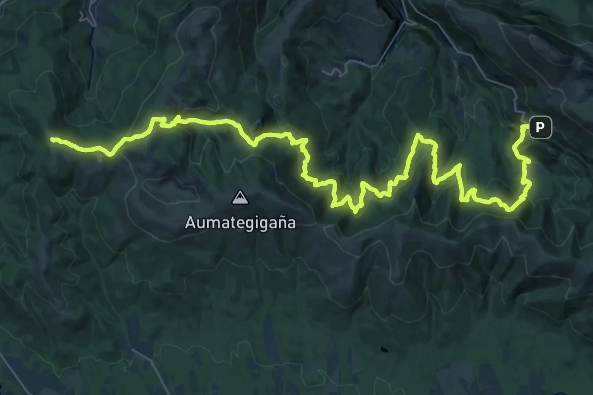
Demanding · Summit
E10 Bizkar ibilbidea: Leintz Gatzaga - Arantzazu
43.9 km · ↑ 2436 m · 15 h 39 min · 12 km away
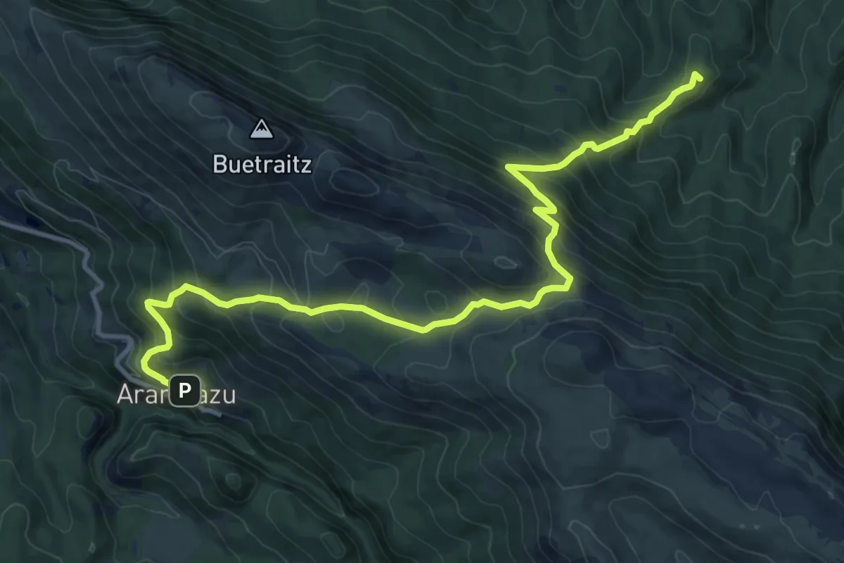
Demanding · Summit
E04 Araindarri Hiru tenpluen ibilbidea: Brinkola- Arantzazu
13.6 km · ↑ 978 m · 5 h 20 min · 12 km away
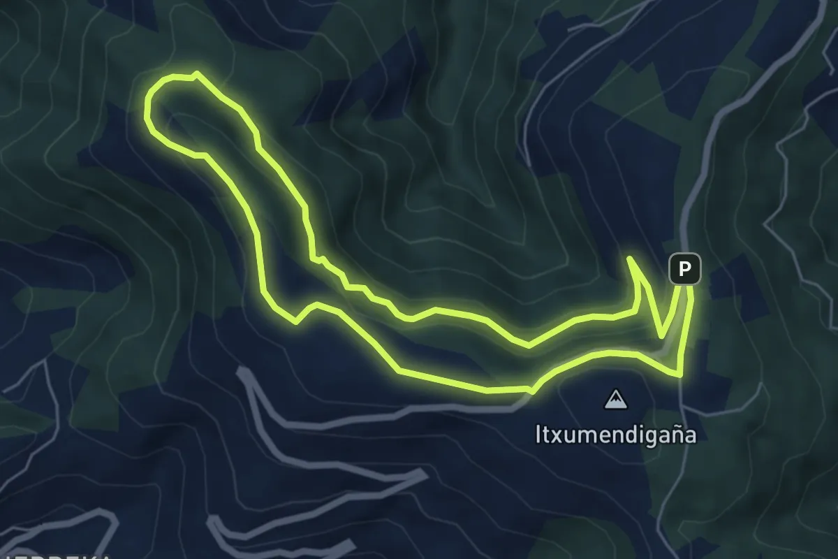
Medium · Summit
Pagolako ubidea
6.0 km · ↑ 200 m · 1 h 56 min · 12 km away
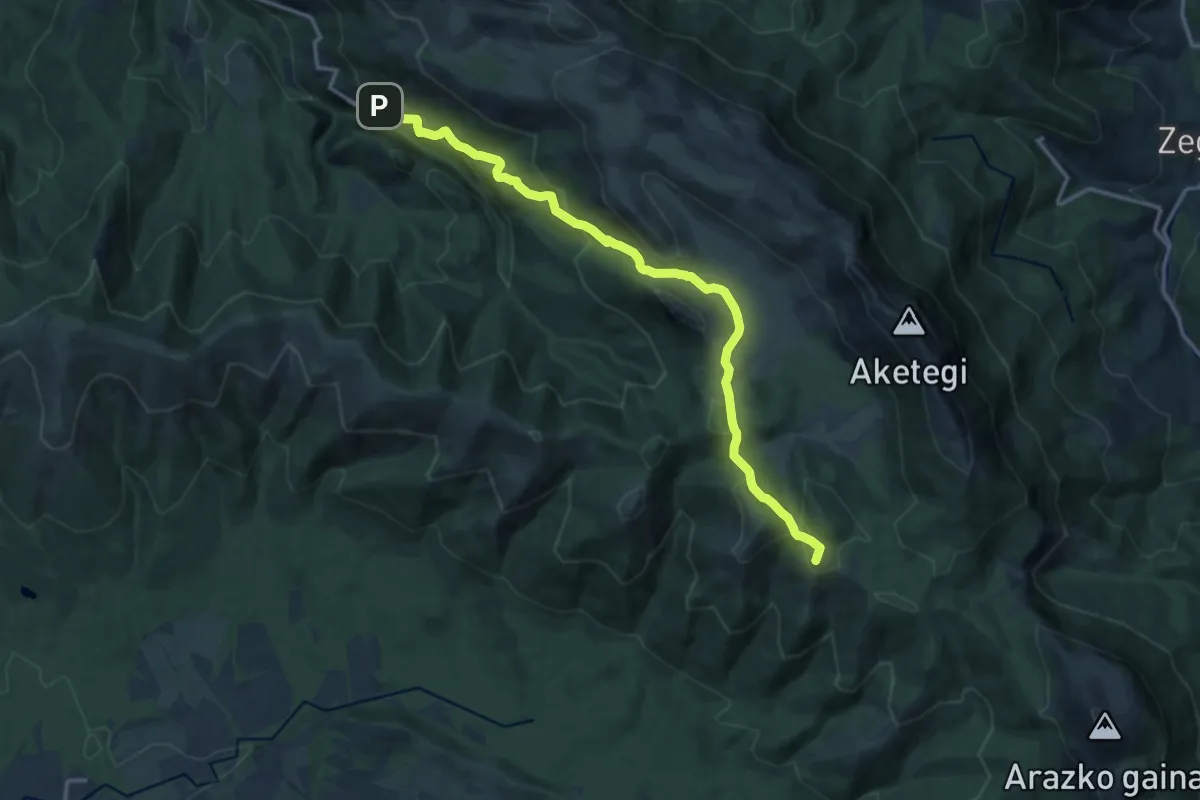
Medium · Summit
E05 Gaztaren Ibilbidea: Arantzazu - Etzegarate
15.9 km · ↑ 786 m · 5 h 27 min · 12 km away
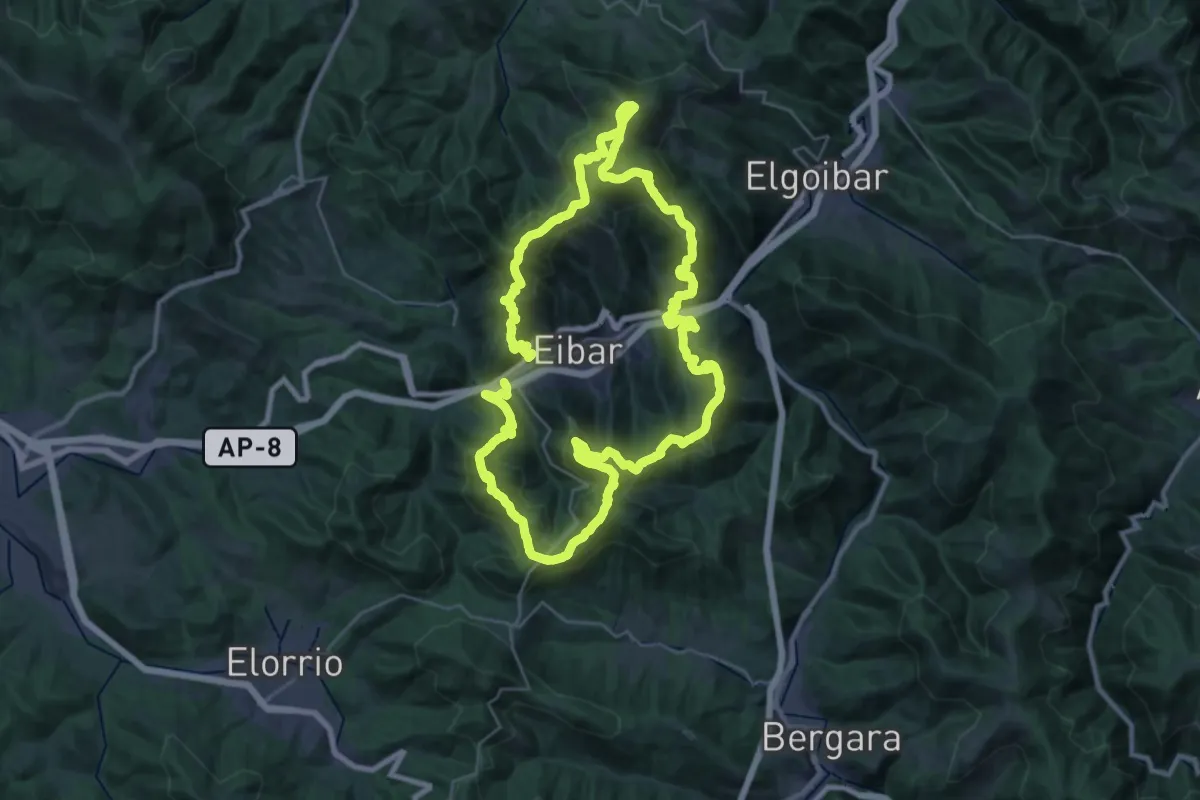
Demanding · Summit
Eibarko Itzulia
30.6 km · ↑ 2034 m · 12 h 3 min · 13 km away
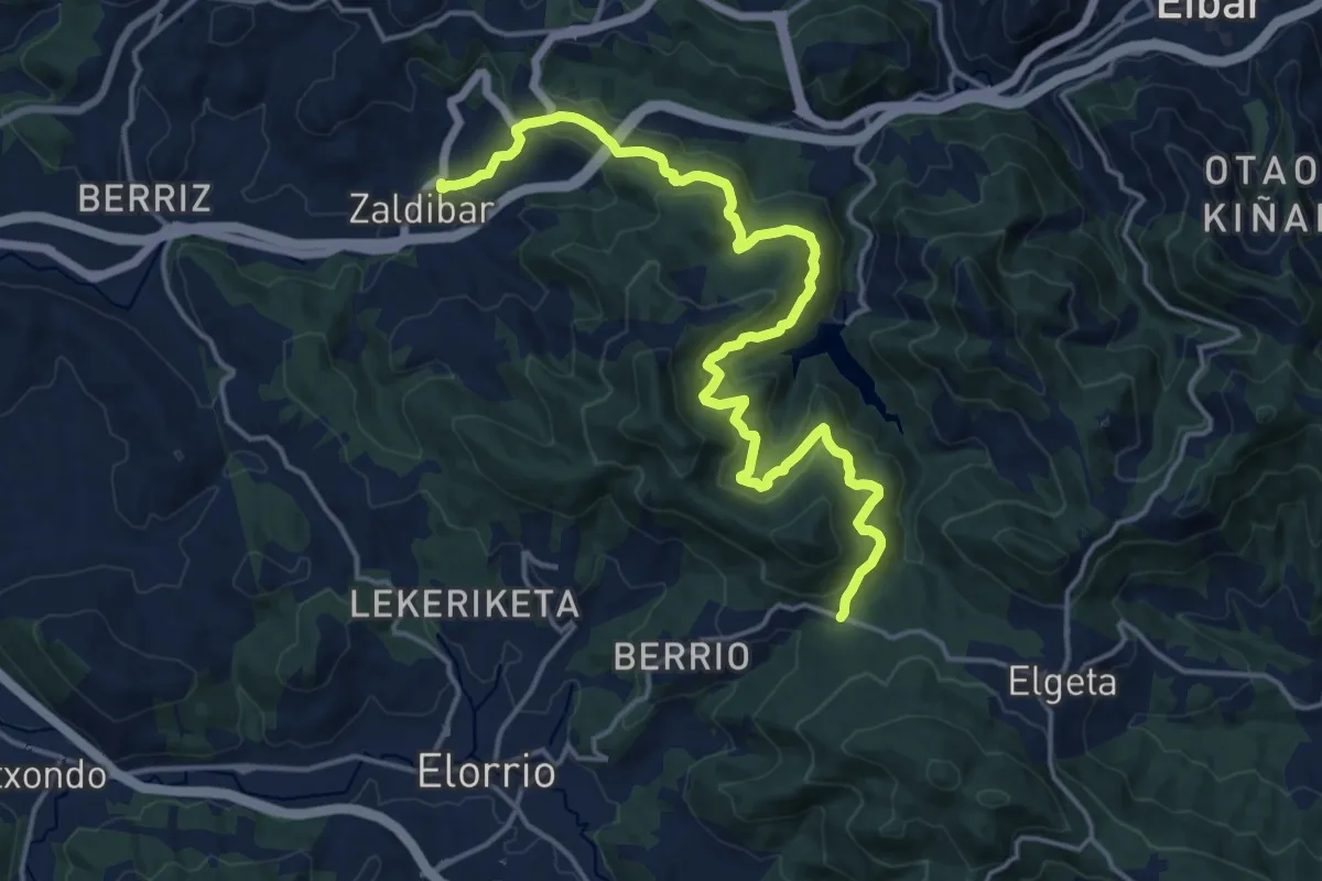
Demanding · Trail
Zaldibar - Santruan
19.7 km · ↑ 847 m · 6 h 29 min · 13 km away
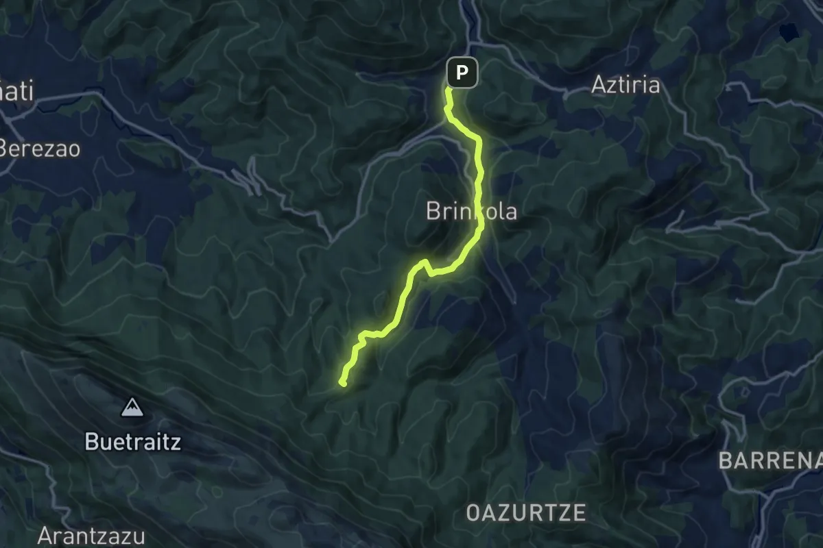
Medium · Summit
E04 Gaztaren Ibilbidea: Mirandaola - Arantzazu
11.7 km · ↑ 376 m · 3 h 34 min · 13 km away
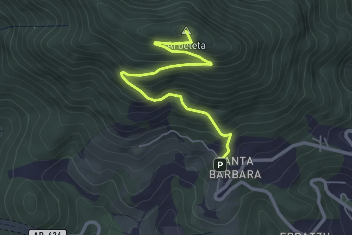
Easy · Summit
Irimora igoera
4.9 km · ↑ 306 m · 1 h 50 min · 13 km away
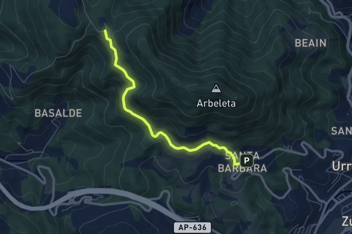
Easy · Trail
Meaka bidea
6.2 km · ↑ 278 m · 2 h 4 min · 13 km away
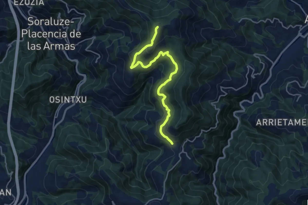
Medium · Summit
Dolmenen ibilbidea - bariante
13.6 km · ↑ 587 m · 4 h 29 min · 13 km away
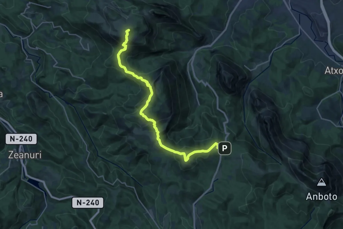
Demanding · Summit
Legarmendiko ibilbide handia
20.7 km · ↑ 1292 m · 7 h 42 min · 13 km away
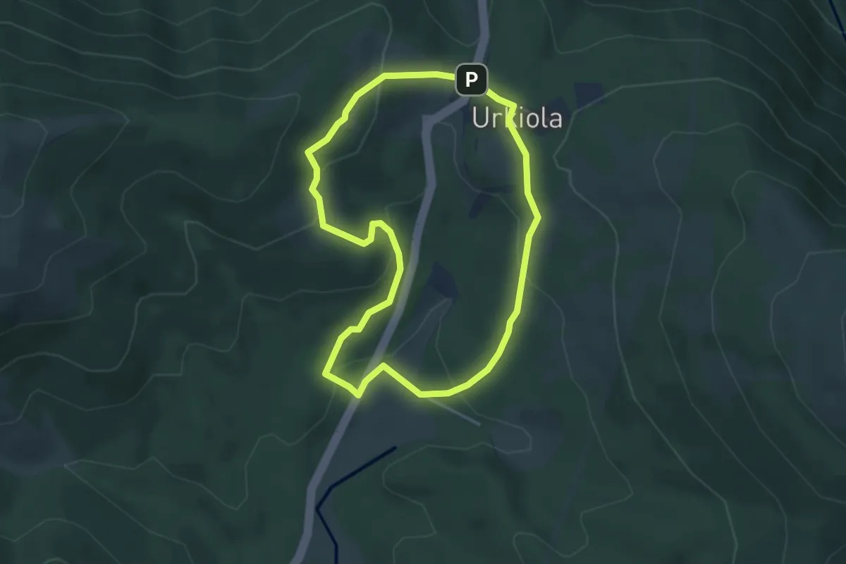
Easy · Trail
Urkiolako ingurunea ezagutzen
3.8 km · ↑ 148 m · 1 h 16 min · 13 km away
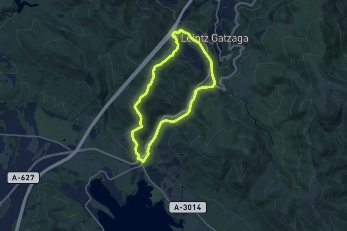
Medium · Summit
Isuskitza
9.2 km · ↑ 287 m · 2 h 55 min · 13 km away
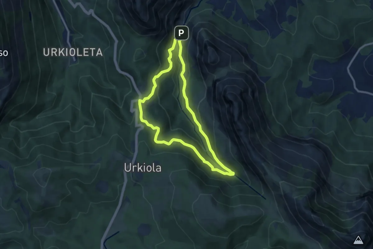
Medium · Trail
Mendiola errekari jarraitzen
7.3 km · ↑ 409 m · 2 h 42 min · 13 km away
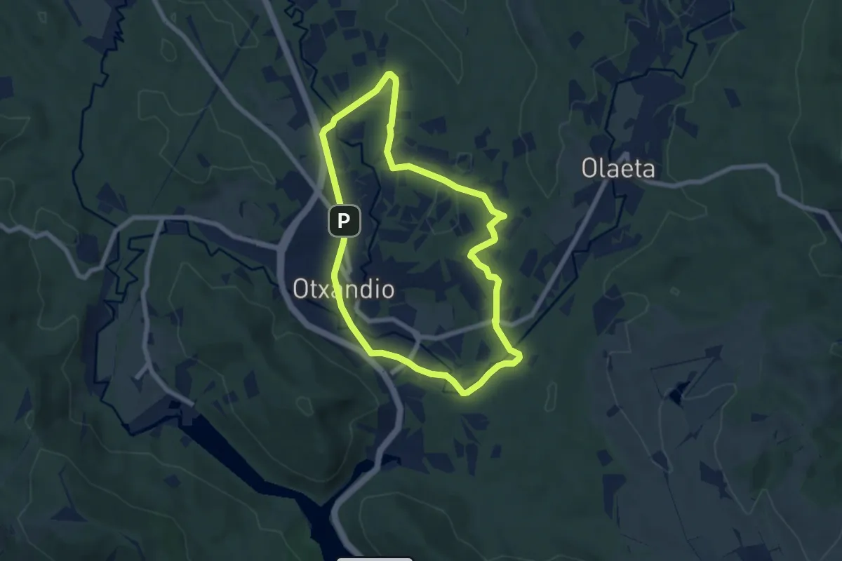
Easy · Trail
Otxandioko pagadiak
6.3 km · ↑ 52 m · 1 h 42 min · 14 km away
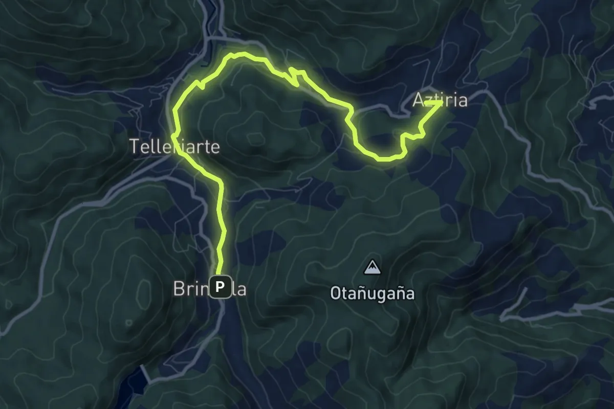
Medium · Summit
E3 Araindarri Hiru tenpluen ibilbidea: Antio - Brinkola
11.8 km · ↑ 274 m · 3 h 23 min · 14 km away
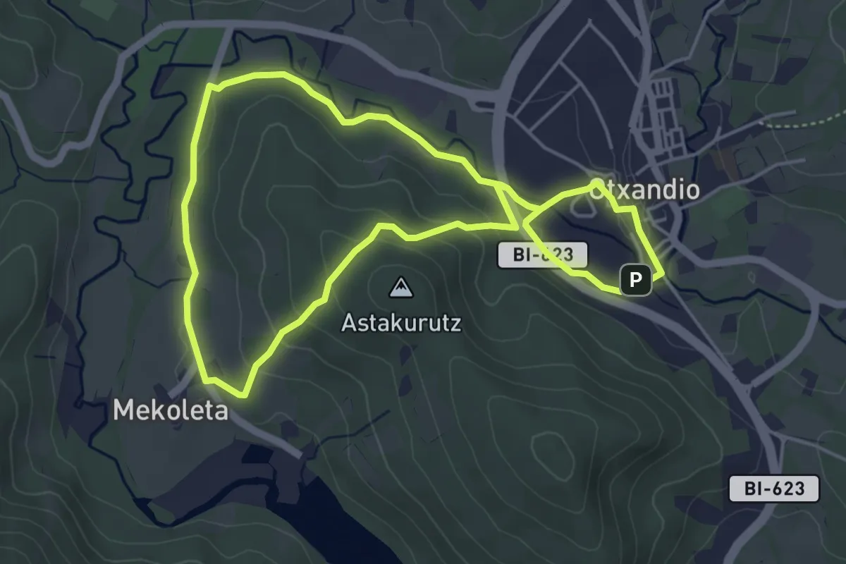
Easy · Trail
Otxandioko galtzadetatik
4.7 km · ↑ 128 m · 1 h 28 min · 14 km away
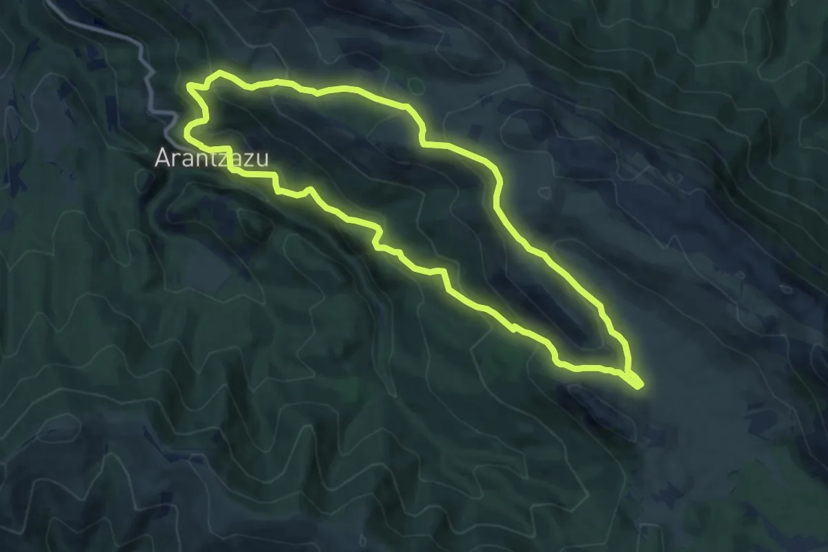
Medium · Summit
Urbiako xenda
10.7 km · ↑ 625 m · 4 h 2 min · 14 km away