Trails near Arrigorriaga
23 hikes starting within 15 km, nearest first.
Nearest first
Medium · Summit
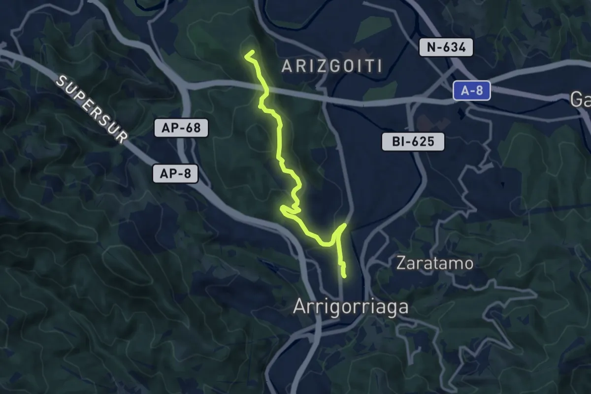
Arrigorriagako Harri Gorriak
9.9 km · ↑ 332 m · 3 h 3 min · under 1 km away
Medium · Trail
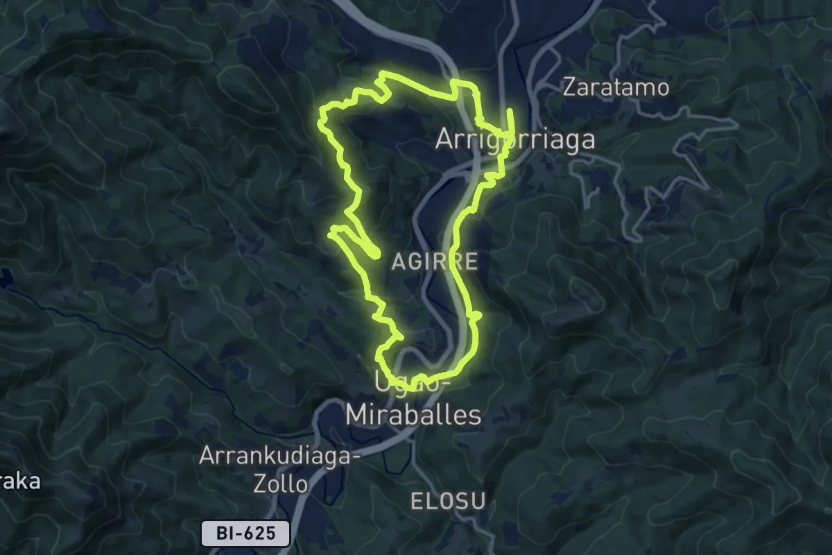
Atzoko bideak, gaurko bidaiariak
13.7 km · ↑ 511 m · 4 h 32 min · 1 km away
Easy · Summit
Irumugarrieta – Makatza – San Segismundo ermita
4.7 km · ↑ 218 m · 1 h 36 min · 3 km away
Easy · Summit
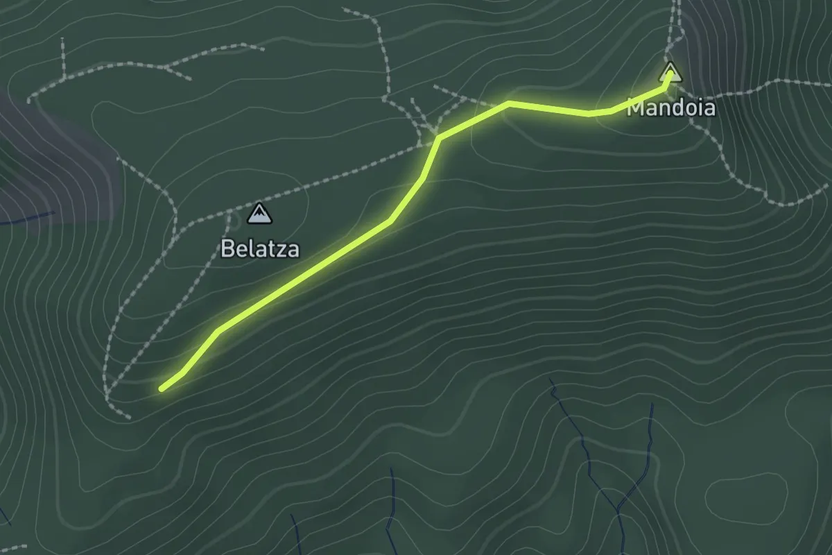
Irumugarrieta – Mandoia – lotura
2.1 km · ↑ 78 m · 39 min · 6 km away
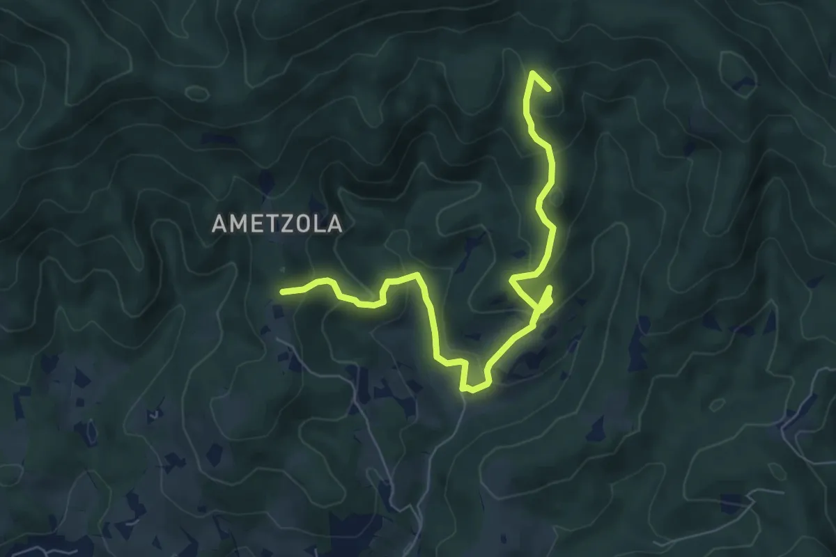
Medium · Summit
Zeberiogana – Gorozitu – Etxazo – lotura
8.0 km · ↑ 448 m · 2 h 52 min · 6 km away
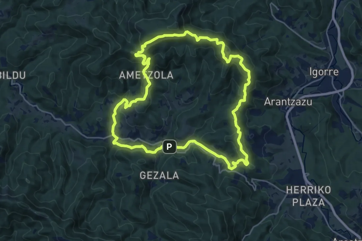
Medium · Summit
Zubialde – Irumugarrieta – Argiñao – Zubialde
16.9 km · ↑ 665 m · 5 h 40 min · 8 km away
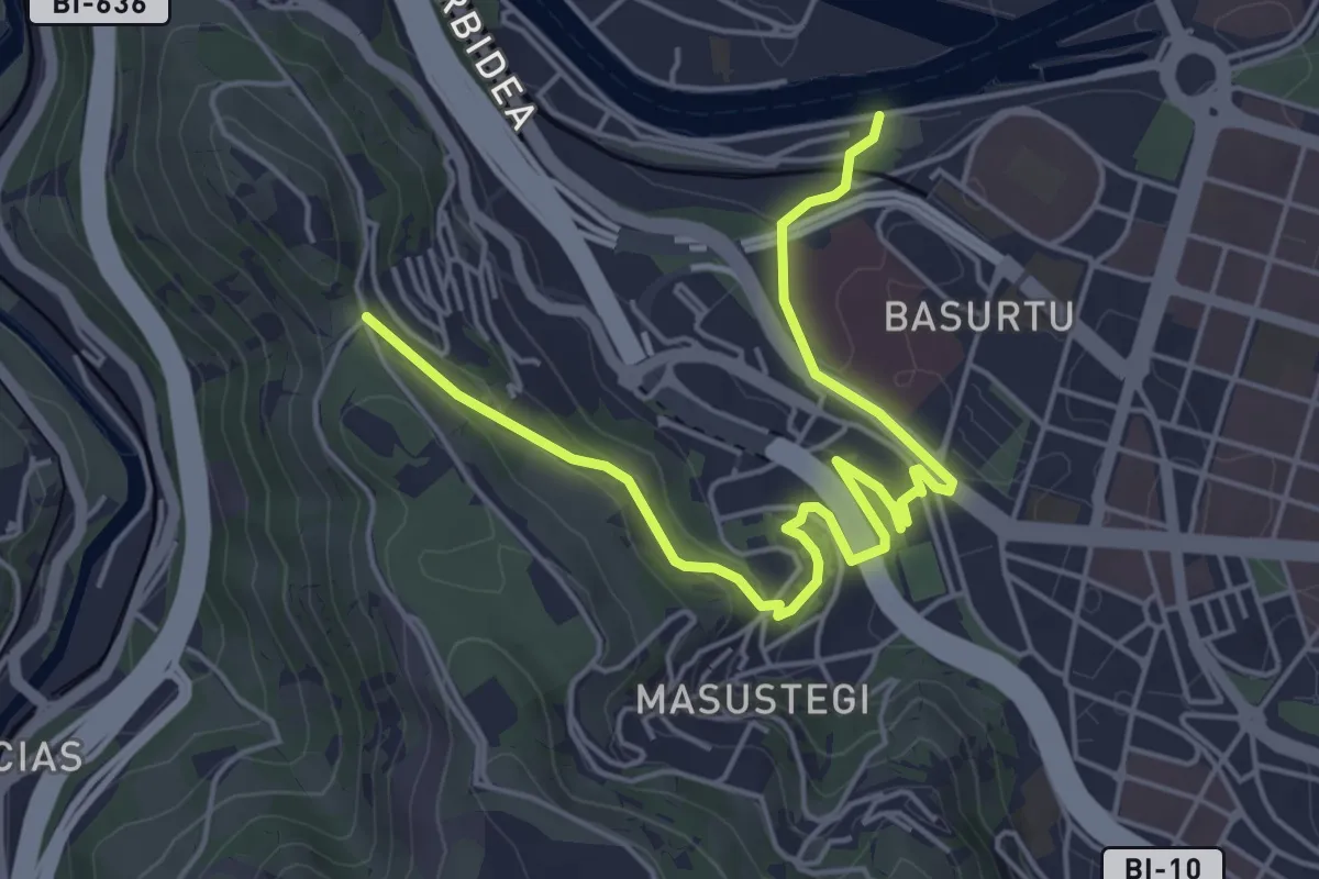
Easy · Trail
Bilboko Inguruko Berdegunea: Olabeaga - Parque Kobetas sahiesbidea
6.3 km · ↑ 163 m · 1 h 51 min · 8 km away
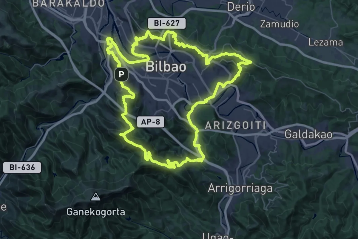
Demanding · Summit
Bilboko Inguruko Berdegunea
38.5 km · ↑ 1485 m · 12 h 50 min · 8 km away
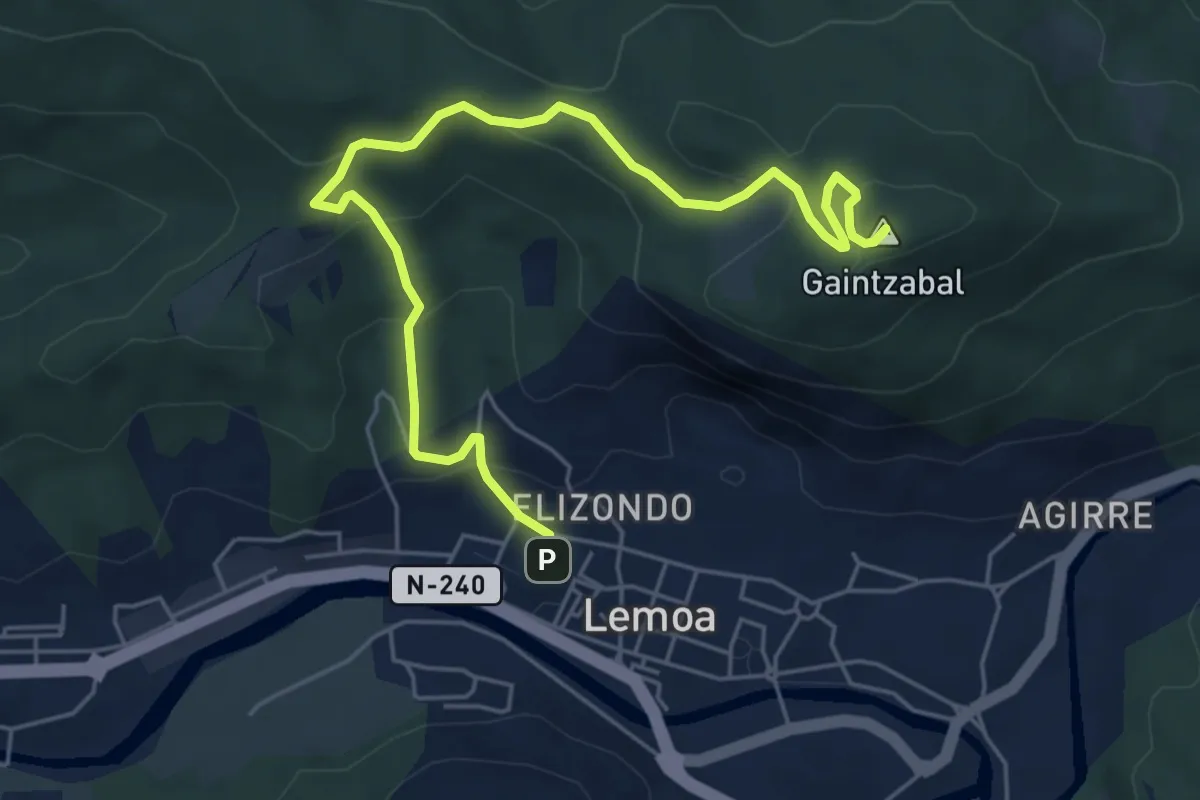
Medium · Summit
Lemoatxa 1937
6.9 km · ↑ 365 m · 2 h 26 min · 9 km away
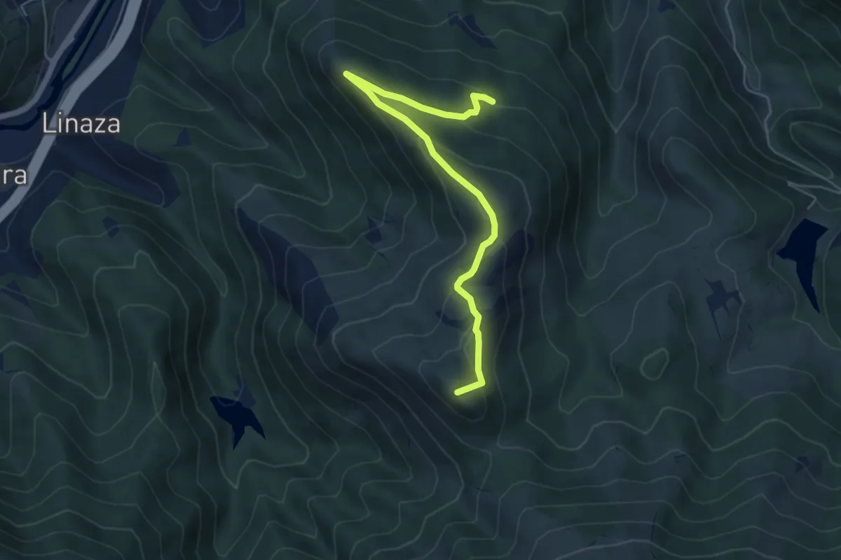
Easy · Summit
Ruta de las Minas y Seles. Zamaia
5.7 km · ↑ 255 m · 1 h 55 min · 9 km away
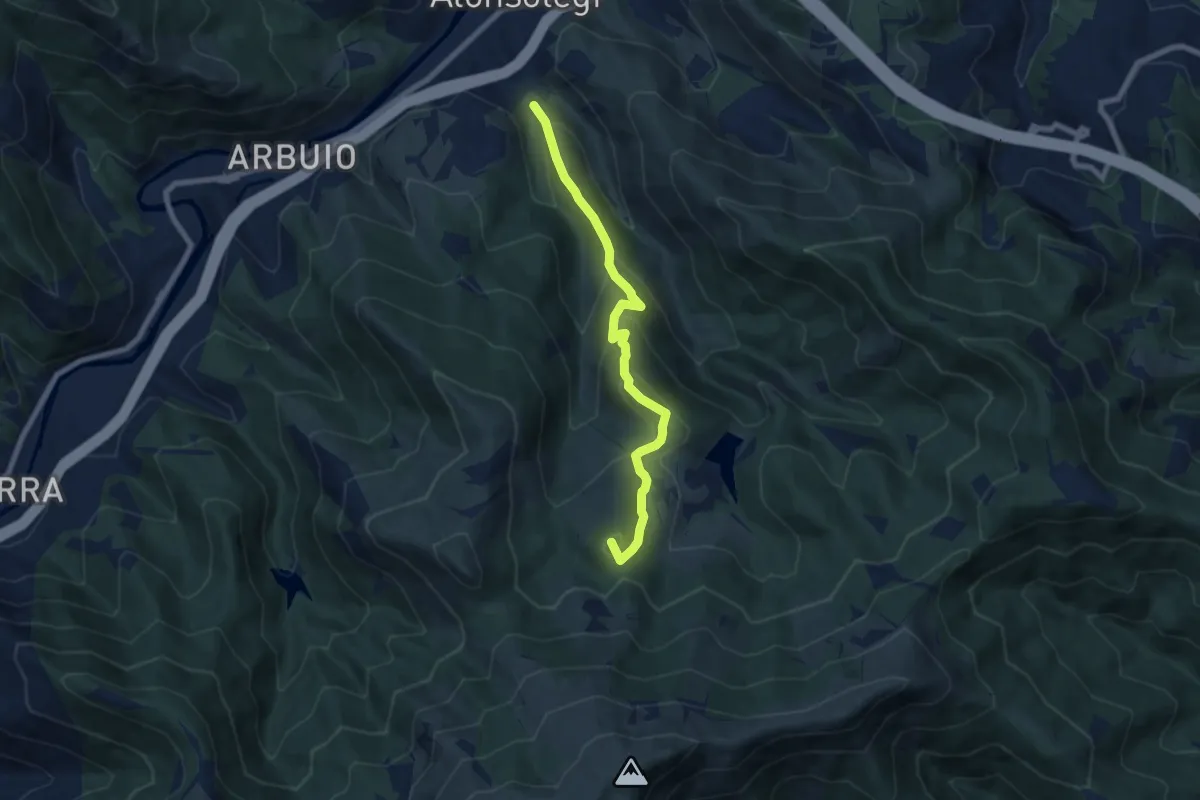
Medium · Summit
Ruta de las Minas y Seles. Tontorra
7.5 km · ↑ 509 m · 2 h 52 min · 9 km away
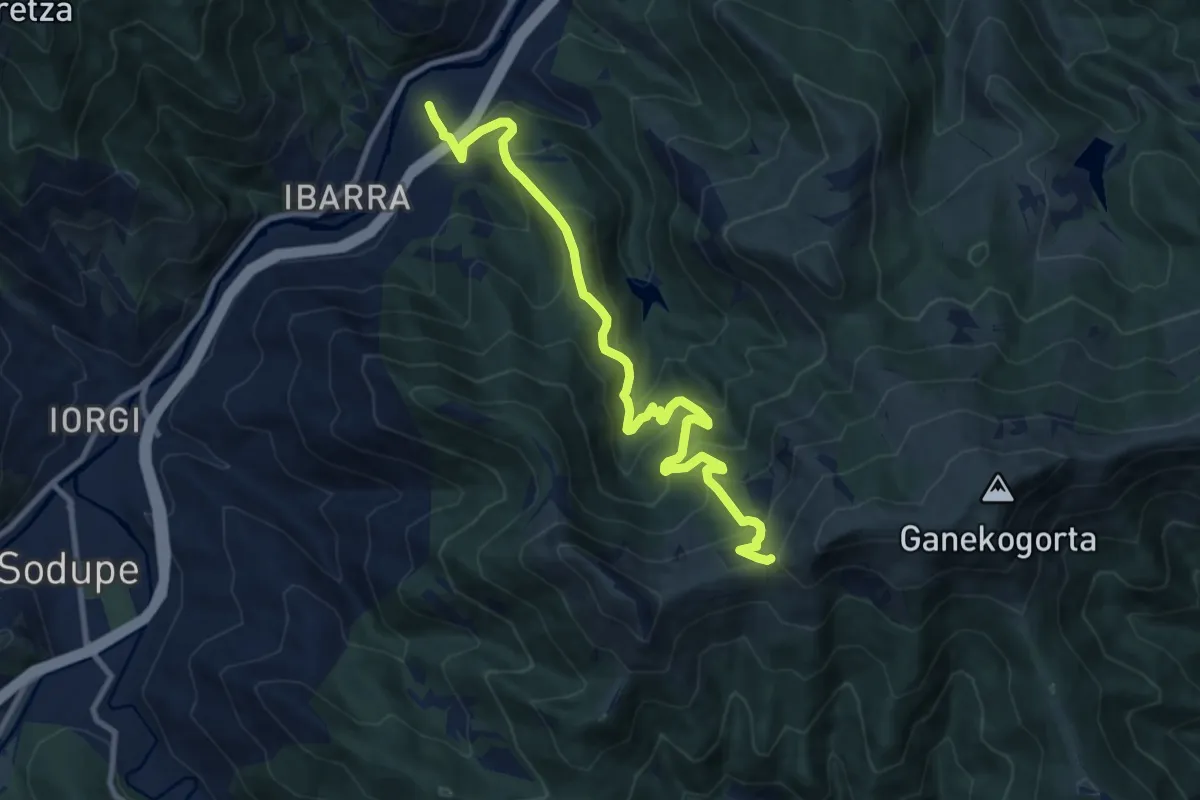
Demanding · Trail
Paguero
11.4 km · ↑ 891 m · 4 h 38 min · 9 km away
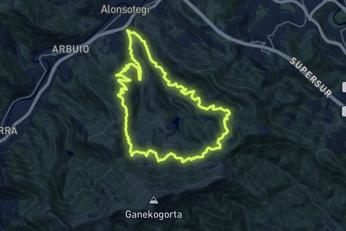
Demanding · Trail
Ruta de las Minas y Seles
14.7 km · ↑ 921 m · 5 h 41 min · 9 km away
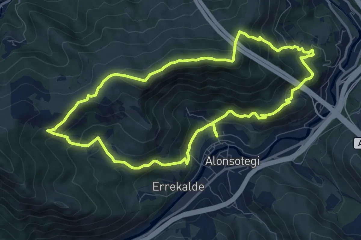
Medium · Summit
Peñas Blancas
8.8 km · ↑ 529 m · 3 h 21 min · 10 km away
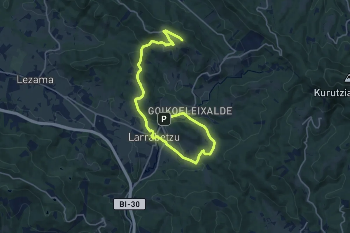
Medium · Summit
Larrabideak
16.9 km · ↑ 435 m · 4 h 56 min · 10 km away
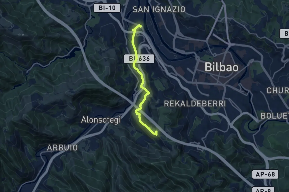
Medium · Summit
Bilboko Inguruko Berdegunea: Zorrotza - Pozo de los Caballos sahiesbidea
10.6 km · ↑ 389 m · 3 h 20 min · 10 km away
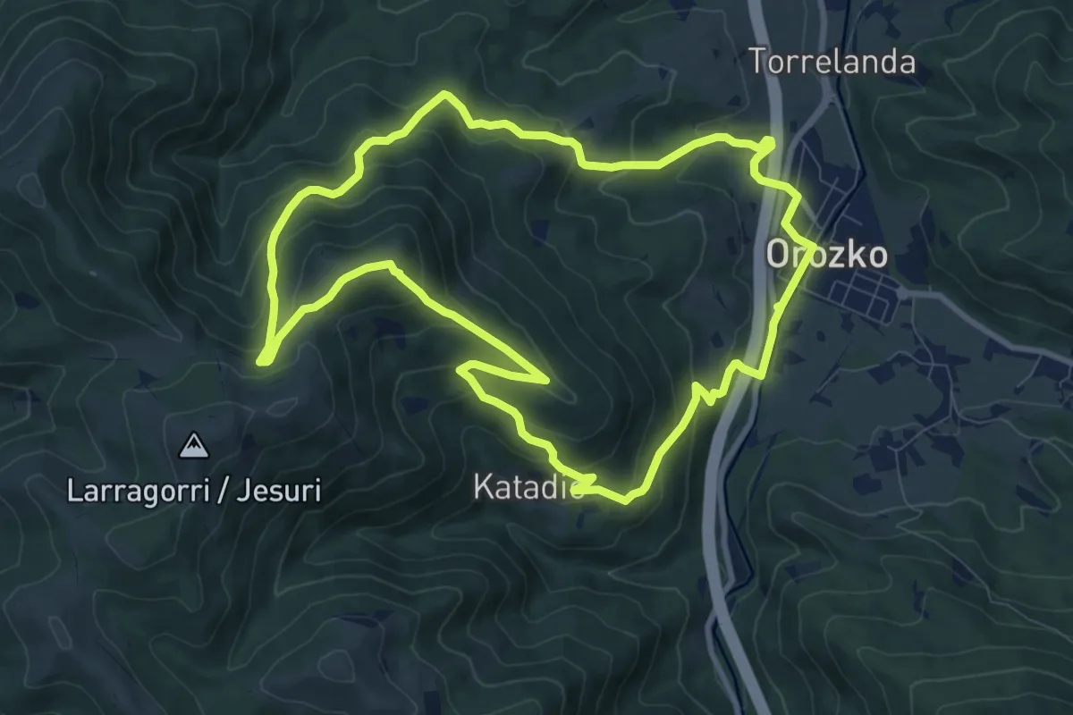
Medium · Summit
Zubiaur - Santa Marina
10.1 km · ↑ 513 m · 3 h 38 min · 12 km away
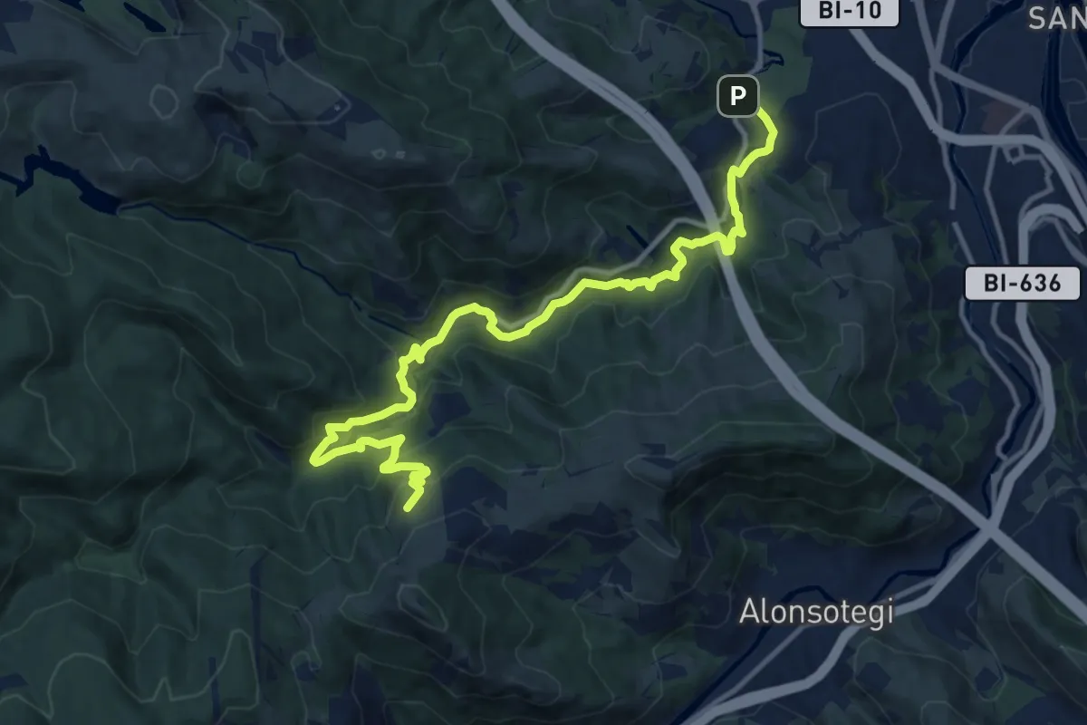
Medium · Summit
Uraren ibilbidea: Barakaldoko urtegiak
15.1 km · ↑ 593 m · 4 h 52 min · 12 km away
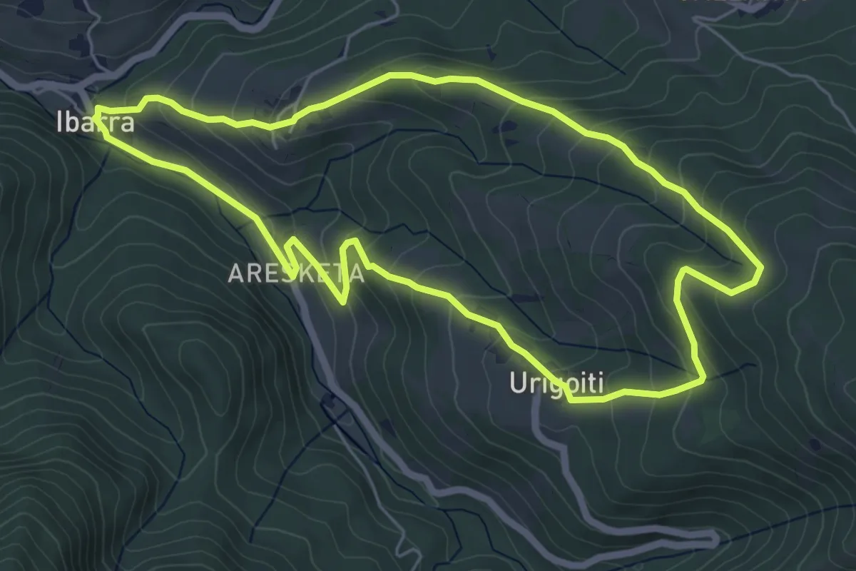
Easy · Trail
Ibarra - Urigoiti
5.9 km · ↑ 316 m · 2 h 10 min · 14 km away
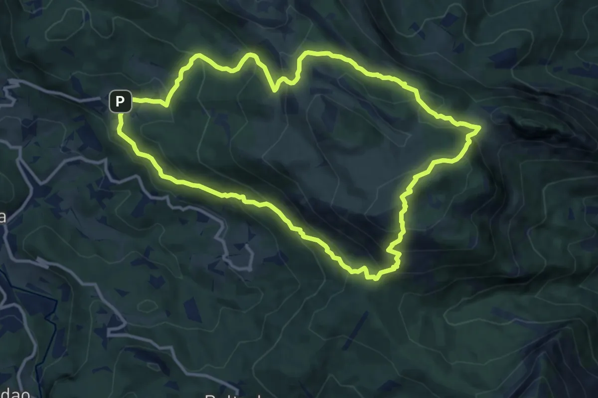
Medium · Summit
Ikazkinen bidea
11.4 km · ↑ 751 m · 4 h 29 min · 14 km away
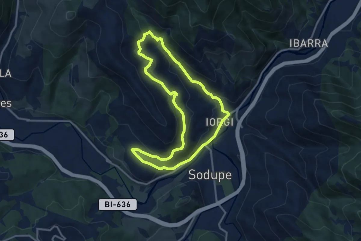
Medium · Trail
Grazal
8.0 km · ↑ 344 m · 2 h 45 min · 14 km away
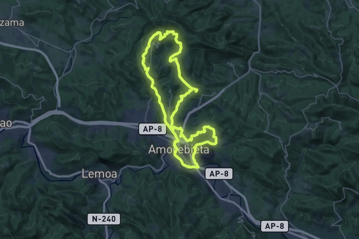
Demanding · Summit
Andrés Espinosa
46.1 km · ↑ 1342 m · 13 h 48 min · 14 km away
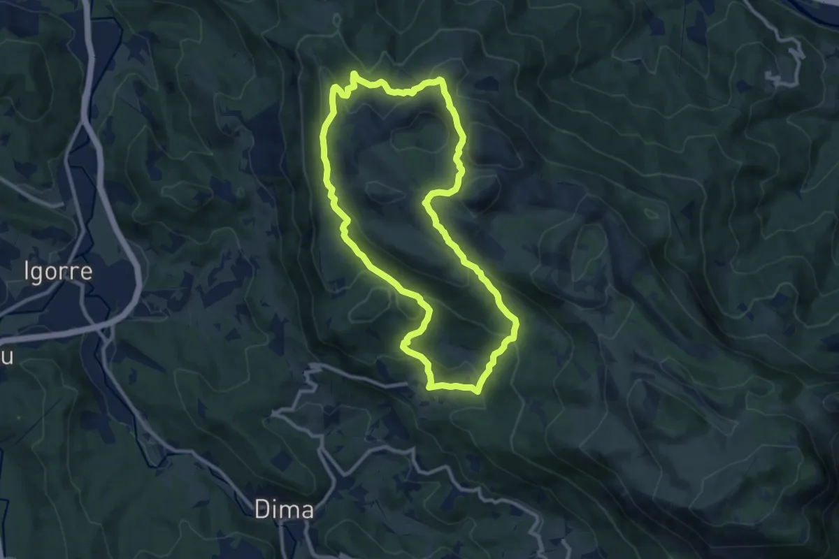
Medium · Summit
Galdarako bira
9.7 km · ↑ 472 m · 3 h 27 min · 14 km away