Trails near Banyoles
61 hikes starting within 15 km, nearest first.
Nearest first, page 1 of 2
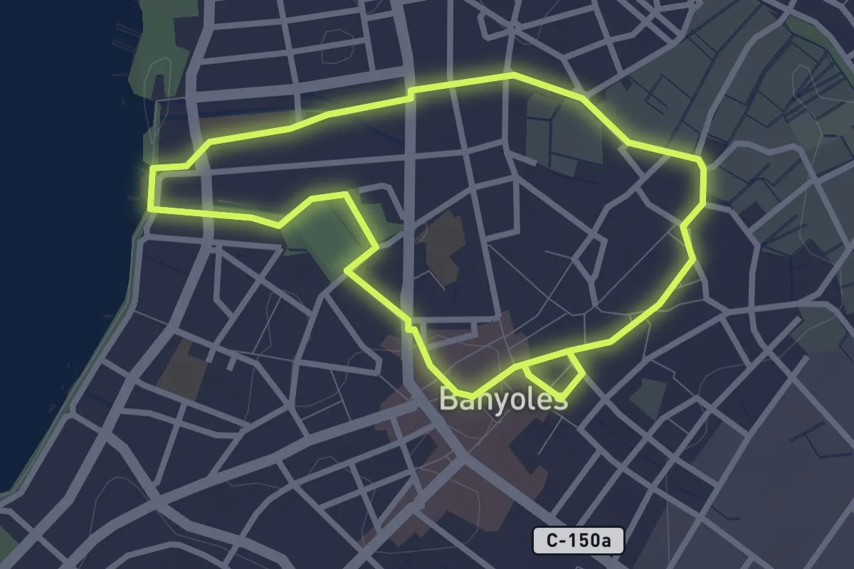
Easy · Trail
Ruta dels recs
2.7 km · ↑ 9 m · 41 min · under 1 km away
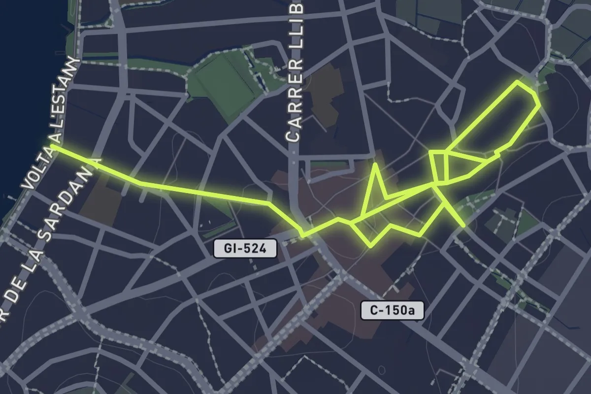
Easy · Trail
Ruta del Barri Vell
2.3 km · ↑ 9 m · 36 min · 1 km away
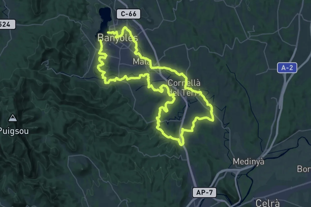
Demanding · Trail
El Camí: Brancal del Pla de l'Estany
33.2 km · ↑ 360 m · 9 h 5 min · 1 km away
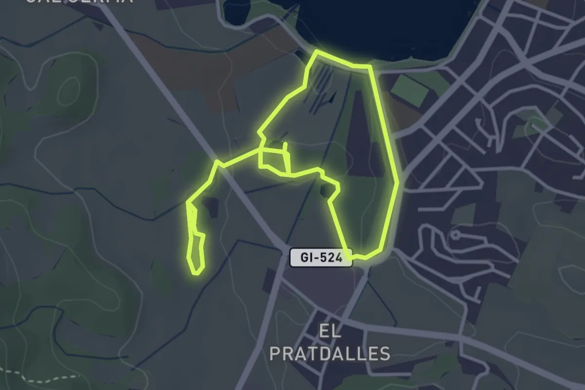
Easy · Trail
Ruta de la Puda i les Estunes
2.9 km · ↑ 26 m · 47 min · 1 km away
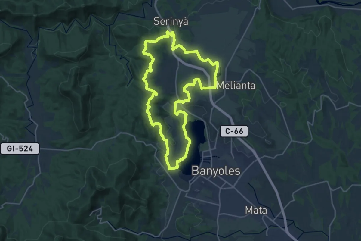
Demanding · Summit
Ruta de l’Estany a les coves de Serinyà
18.4 km · ↑ 267 m · 5 h 10 min · 1 km away
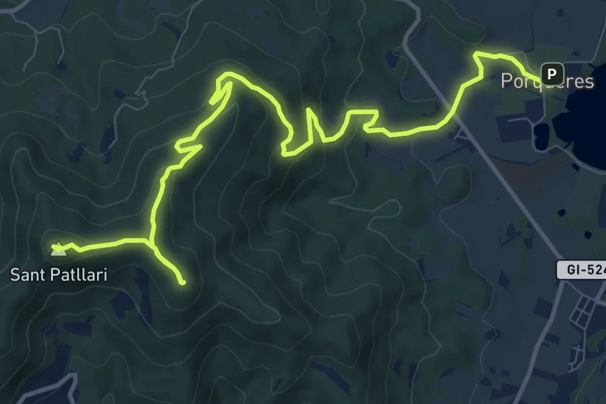
Medium · Summit
Ruta de l’Estany a Sant Patllari
6.6 km · ↑ 514 m · 2 h 33 min · 1 km away
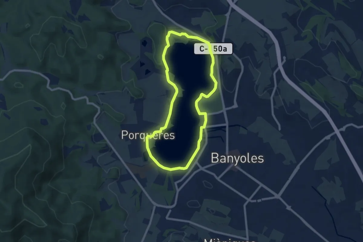
Easy · Summit
Volta a l'Estany
6.2 km · ↑ 37 m · 1 h 38 min · 2 km away
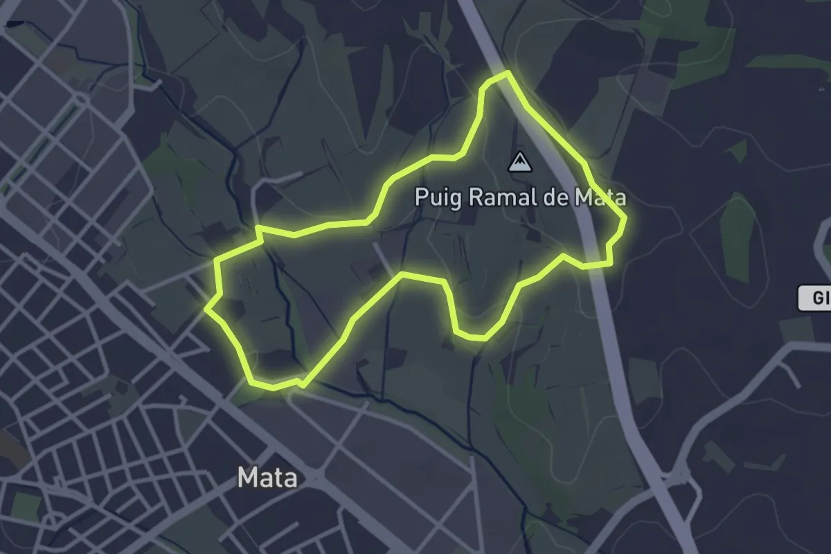
Easy · Summit
Altres Itineraris - Les costes de Mata
3.2 km · ↑ 34 m · 52 min · 2 km away
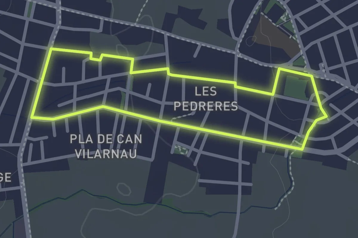
Easy · Trail
Itinerari Curt - Les Pedreres
2.4 km · ↑ 13 m · 37 min · 2 km away
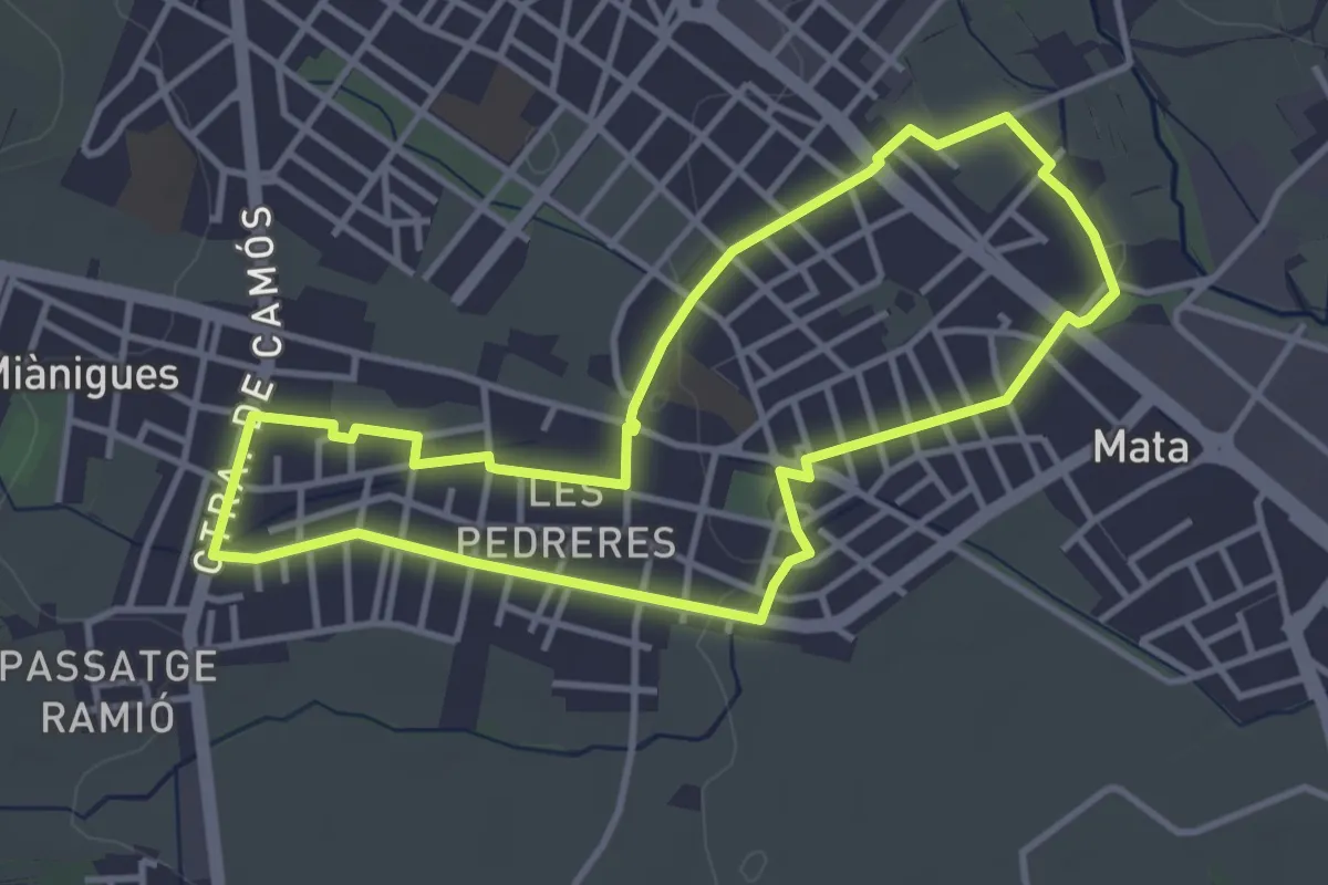
Easy · Trail
Itinerari Mitjà - Mata-Les Pedreres
4.0 km · ↑ 17 m · 1 h 2 min · 2 km away
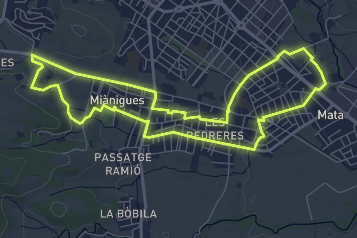
Easy · Trail
Itinerari Llarg - Mata-Miànigues
6.6 km · ↑ 60 m · 1 h 47 min · 2 km away
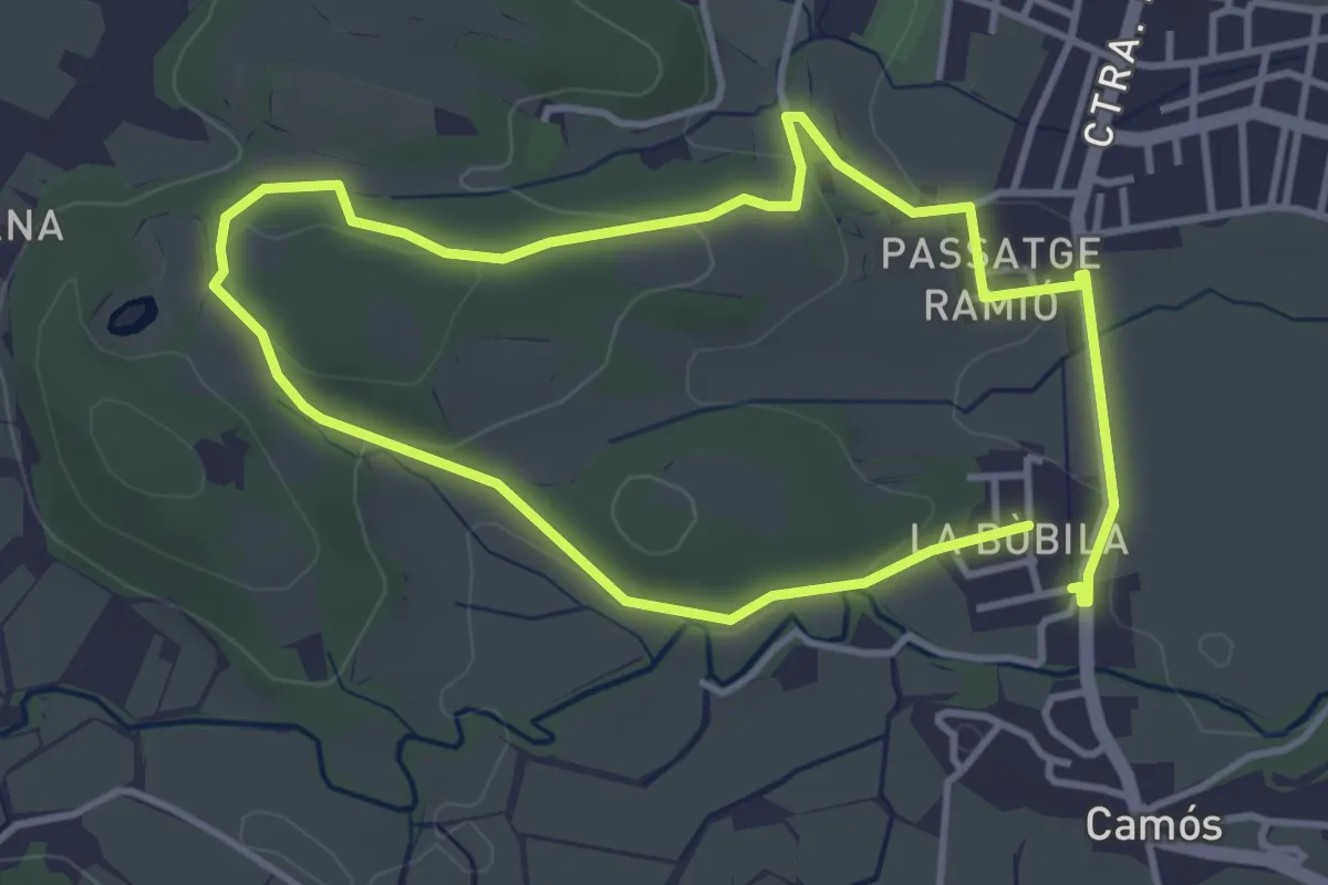
Easy · Trail
Itinerari Mitjà - Camós
3.7 km · ↑ 55 m · 1 h 3 min · 2 km away
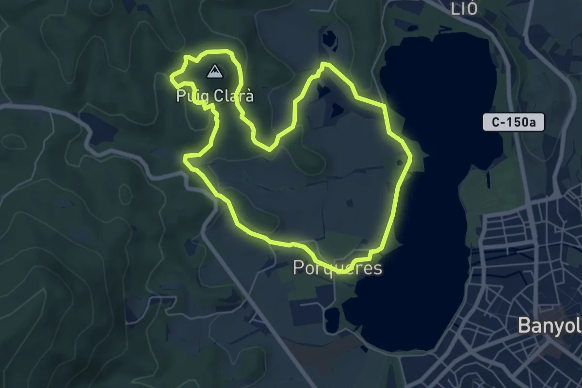
Easy · Summit
Ruta de Can Morgat i Puig Clarà
6.1 km · ↑ 128 m · 1 h 48 min · 2 km away
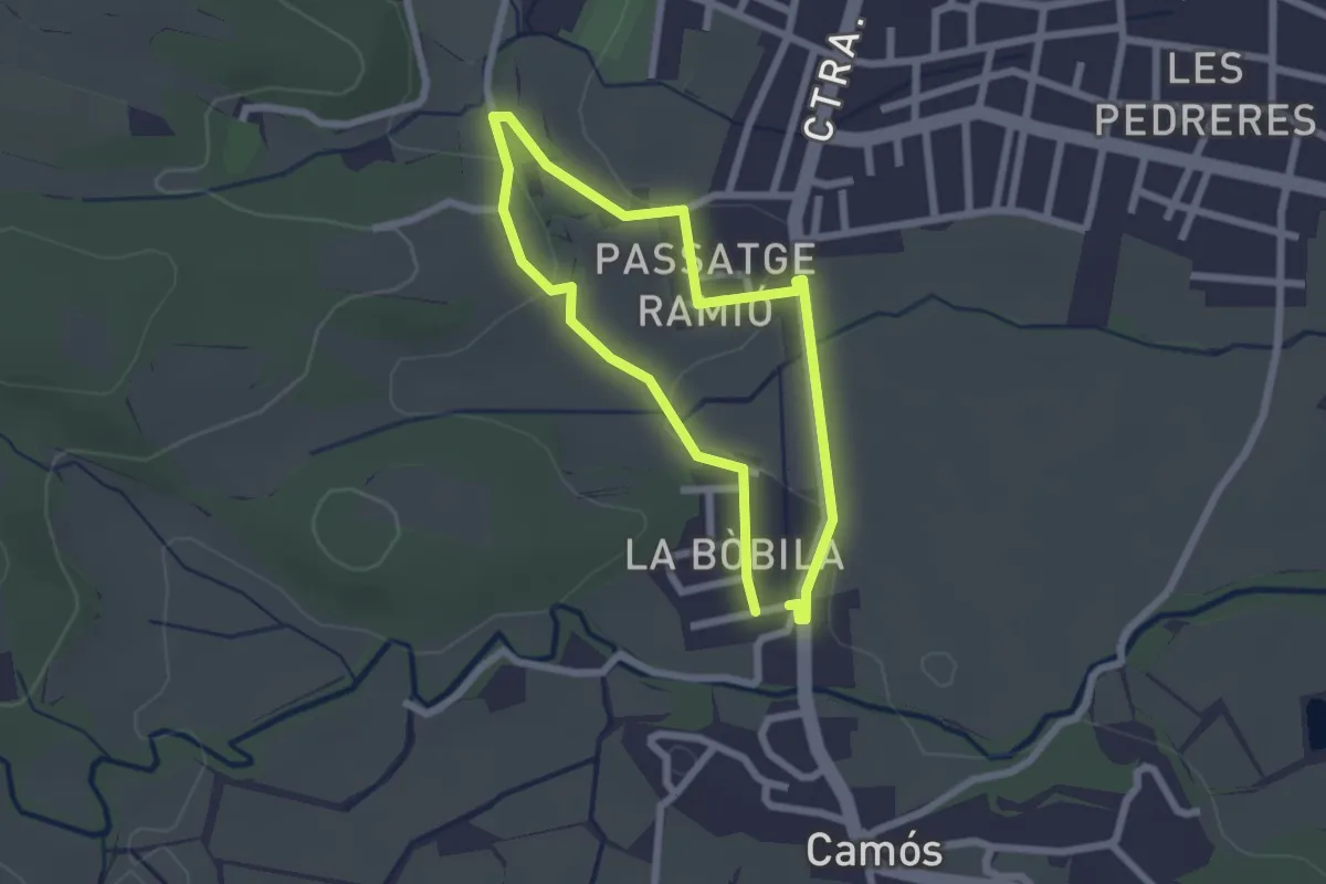
Easy · Trail
Itinerari Curt - Camós
2.1 km · ↑ 24 m · 34 min · 2 km away
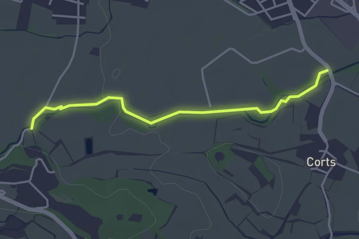
Easy · Trail
Camí de tornada a l’escola
3.4 km · ↑ 30 m · 52 min · 2 km away
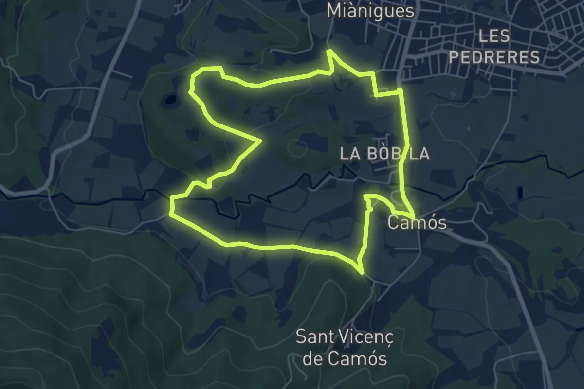
Easy · Trail
Itinerari Llarg - Camós
6.0 km · ↑ 91 m · 1 h 42 min · 3 km away
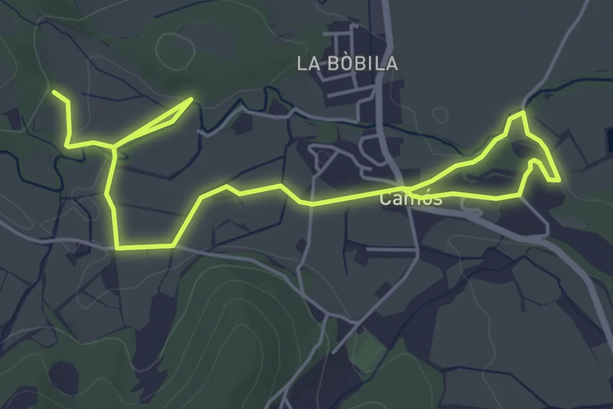
Easy · Trail
Altres camins - Camós
7.1 km · ↑ 71 m · 1 h 51 min · 3 km away
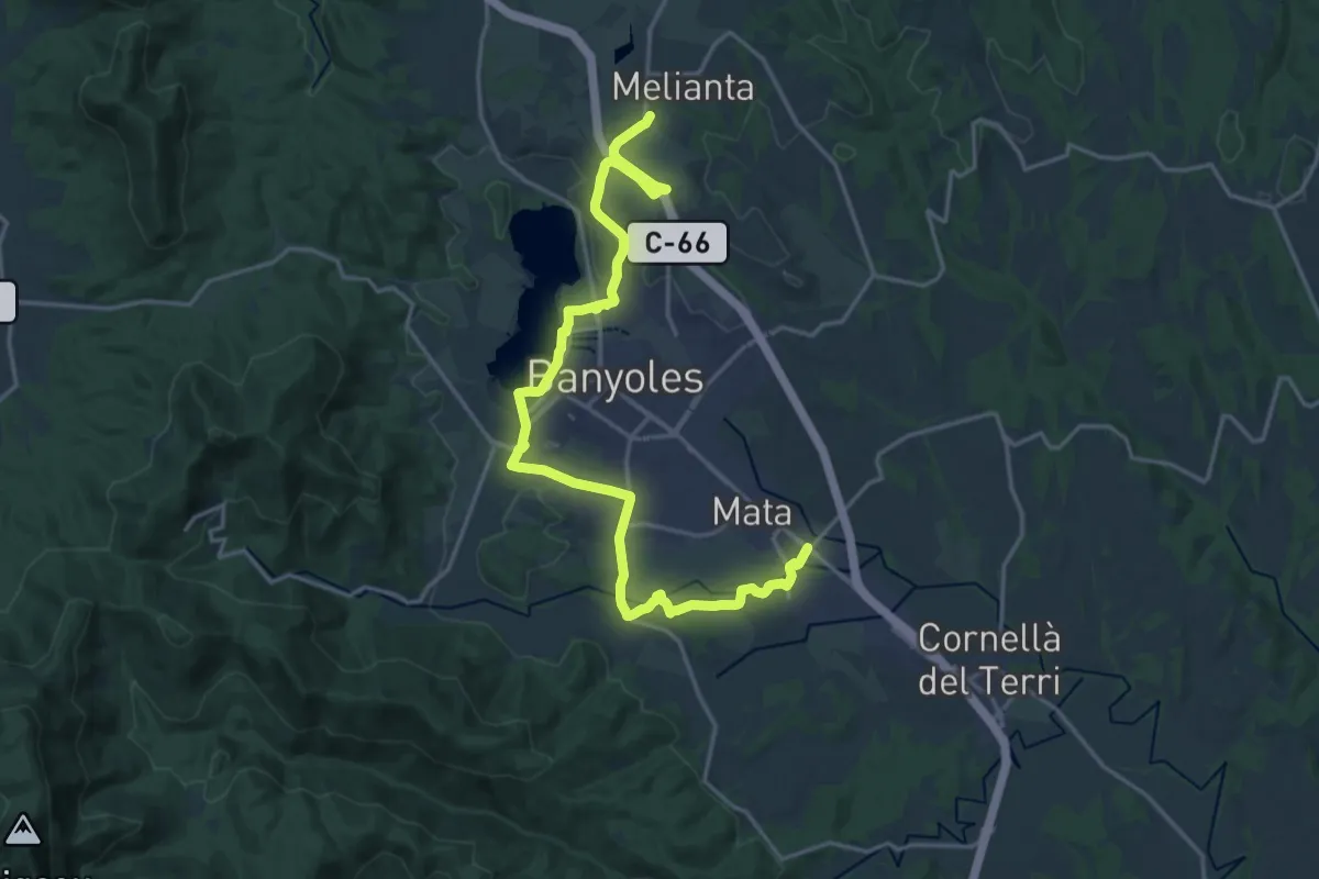
Demanding · Trail
Via Verda del Pla de l'Estany
24.2 km · ↑ 166 m · 6 h 5 min · 3 km away
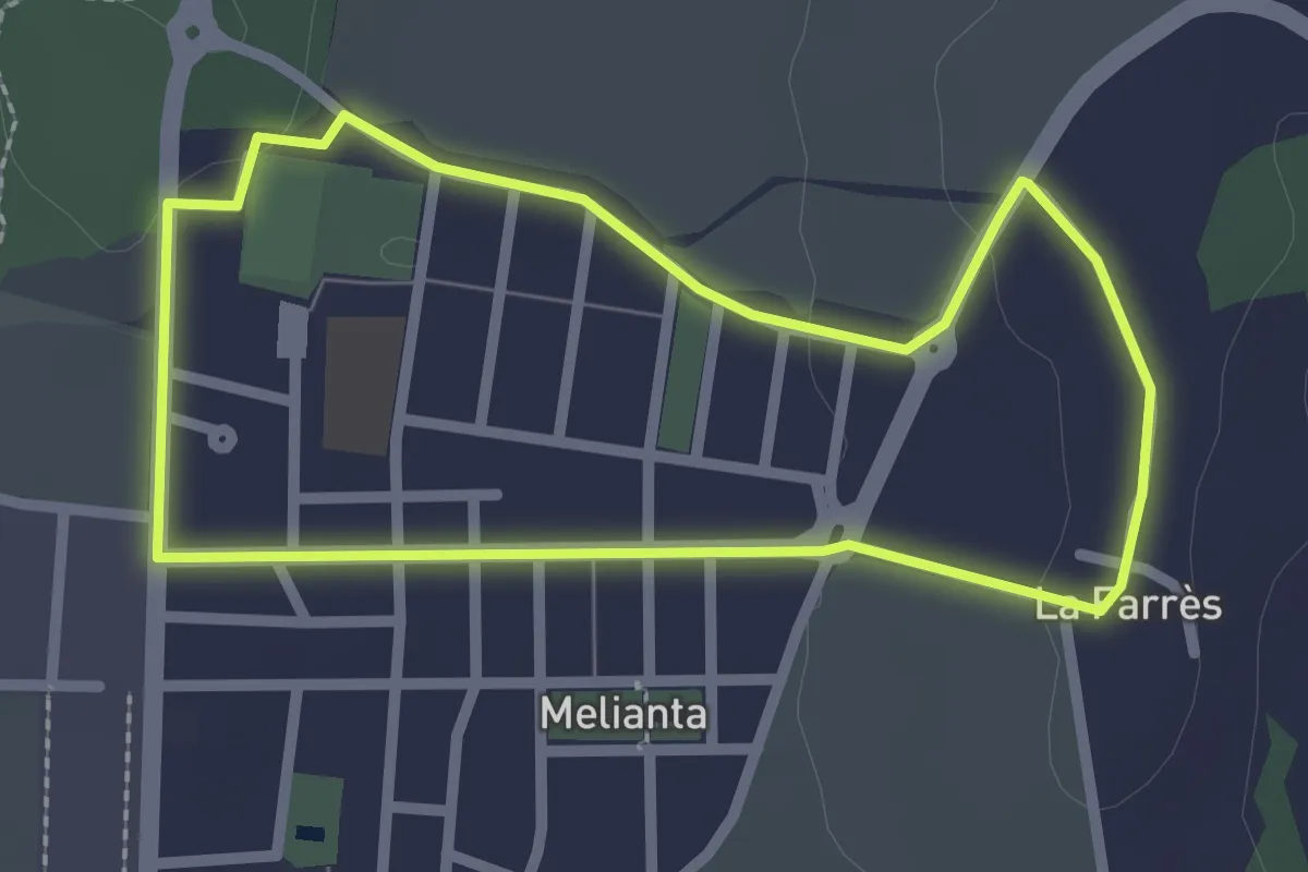
Easy · Trail
Itinerari Curt - Fontcoberta
2.5 km · ↑ 24 m · 40 min · 3 km away
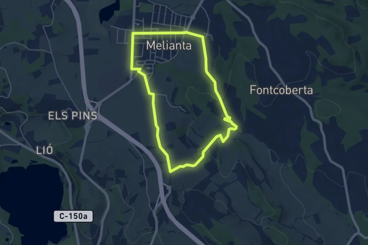
Easy · Trail
Itinerari Mitjà - Fontcoberta
4.8 km · ↑ 80 m · 1 h 23 min · 3 km away
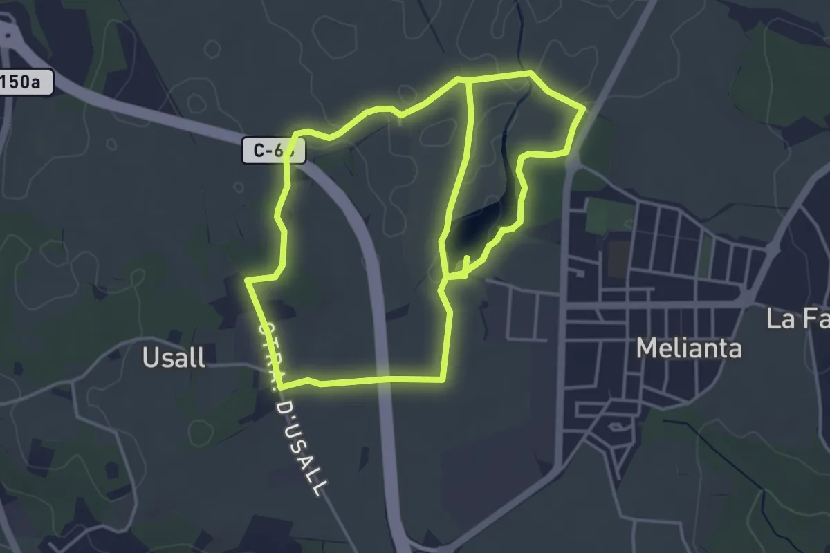
Easy · Trail
Ruta de la platja d’Espolla i Usall
4.4 km · ↑ 18 m · 1 h 8 min · 4 km away
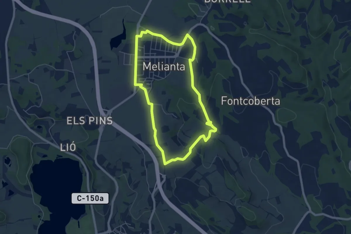
Easy · Trail
Itinerari Llarg - Fontcoberta
5.7 km · ↑ 84 m · 1 h 37 min · 4 km away
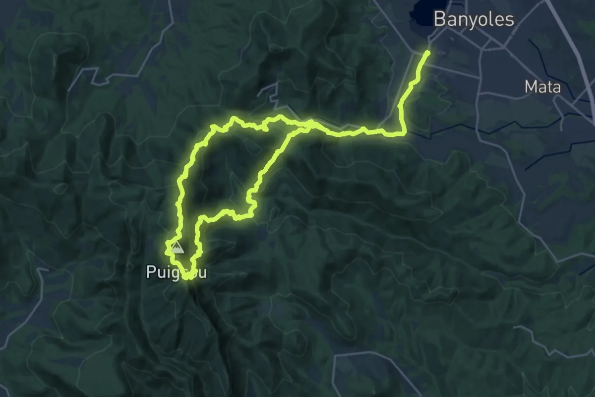
Demanding · Summit
Sender de Rocacorba
18.7 km · ↑ 1026 m · 6 h 58 min · 4 km away
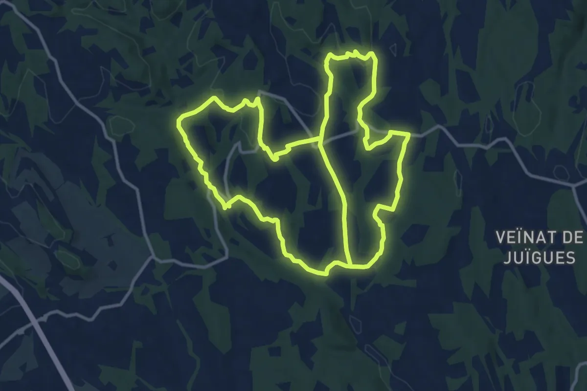
Medium · Trail
Ruta de les fonts i del patrimoni de Fontcoberta - Vilavenut
12.1 km · ↑ 277 m · 3 h 36 min · 5 km away
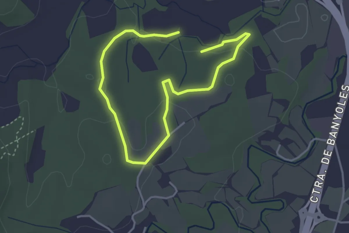
Easy · Trail
Els amics del bosc
5.3 km · ↑ 75 m · 1 h 25 min · 5 km away
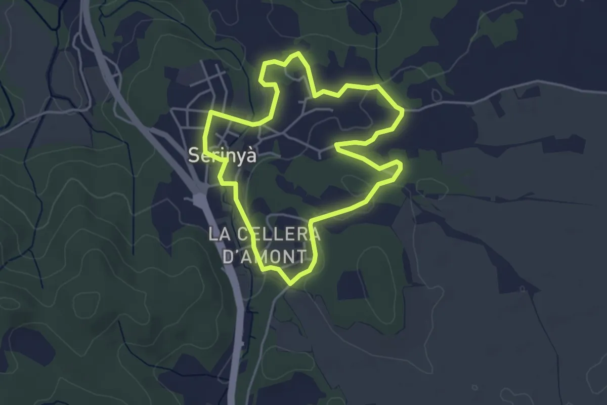
Easy · Trail
Itinerari Mitjà - Serinyà
4.0 km · ↑ 33 m · 1 h 4 min · 6 km away
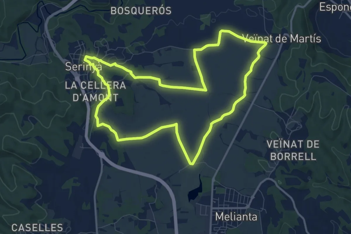
Medium · Trail
Sant Galderic
10.2 km · ↑ 56 m · 2 h 41 min · 6 km away
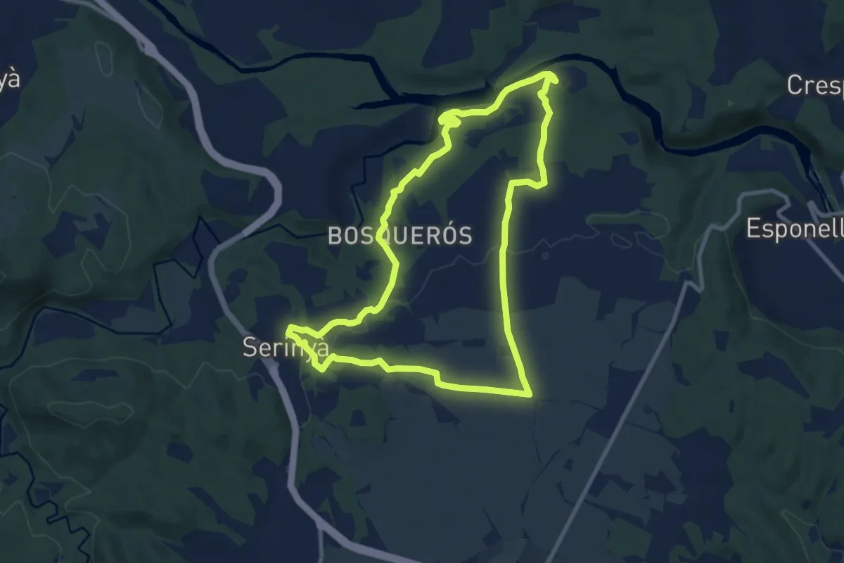
Medium · Trail
Pla de Martís i Fluvià
9.4 km · ↑ 137 m · 2 h 38 min · 6 km away
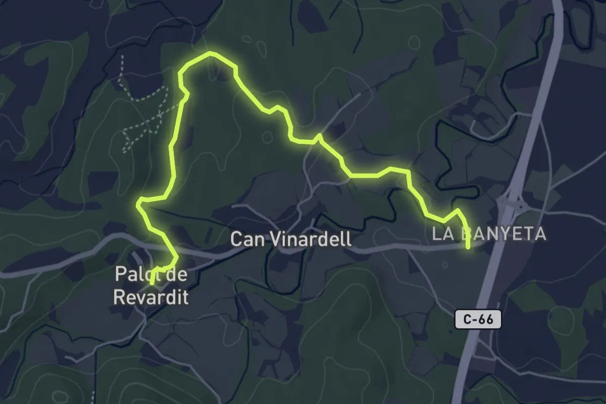
Easy · Trail
Ruta dels indrets amb història - 2
6.4 km · ↑ 125 m · 1 h 47 min · 6 km away
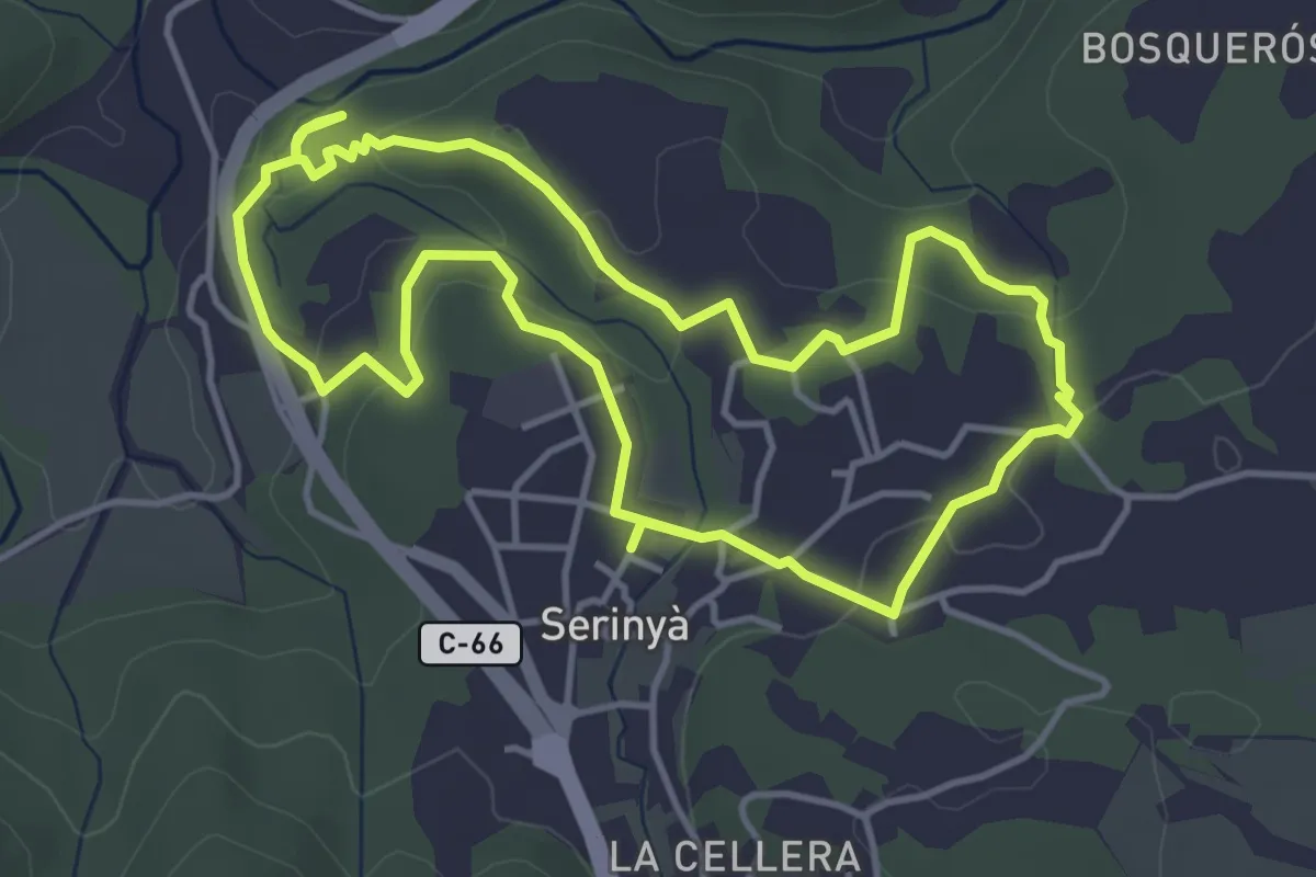
Easy · Trail
Prop del nucli
4.7 km · ↑ 106 m · 1 h 24 min · 6 km away
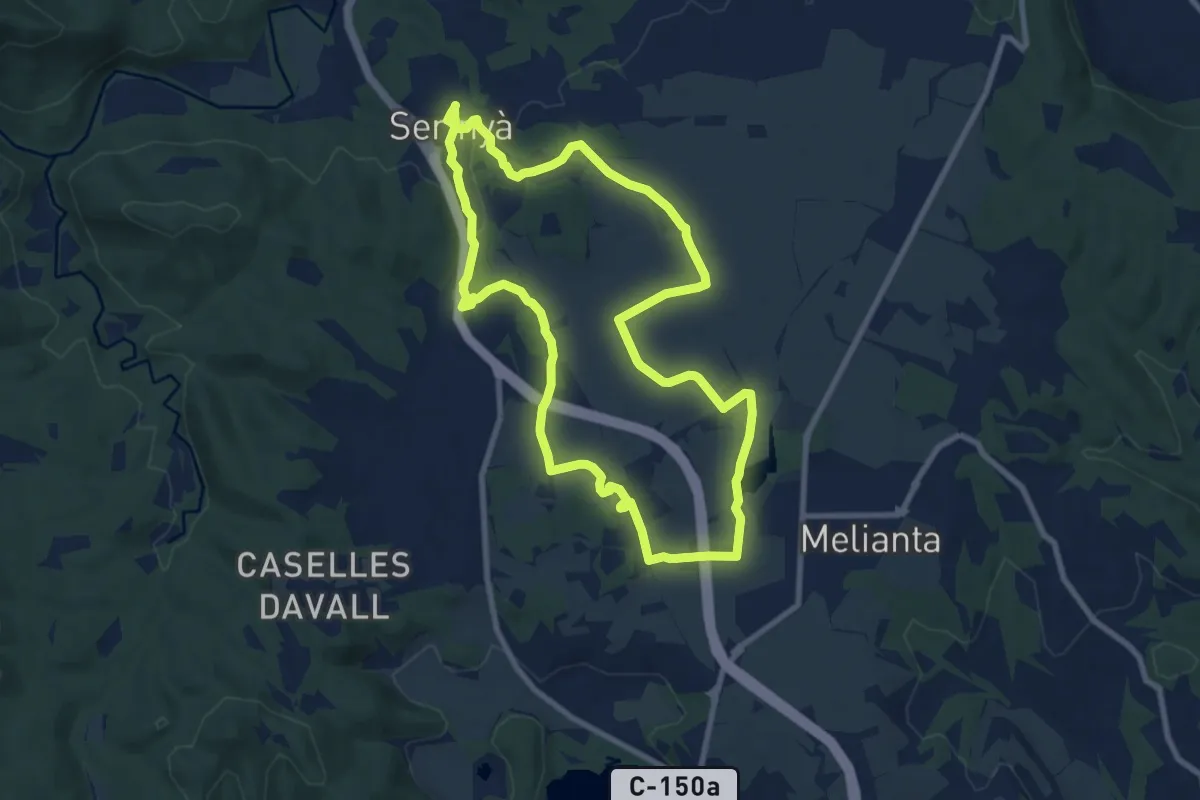
Medium · Trail
Mossoga
9.6 km · ↑ 41 m · 2 h 29 min · 6 km away
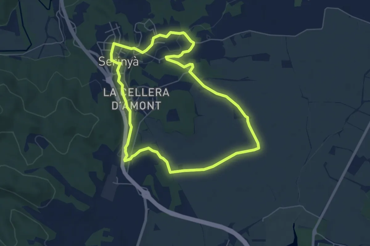
Easy · Trail
Itinerari Llarg - Serinyà
6.0 km · ↑ 36 m · 1 h 35 min · 6 km away
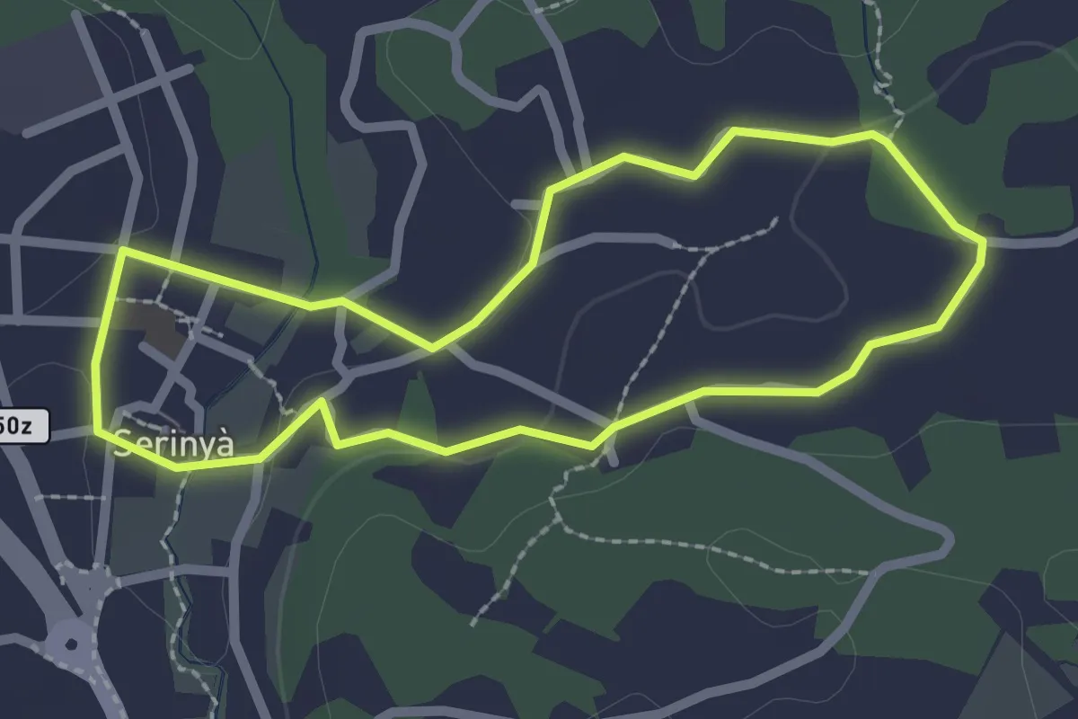
Easy · Trail
Itinerari Curt - Serinyà
2.3 km · ↑ 15 m · 36 min · 6 km away
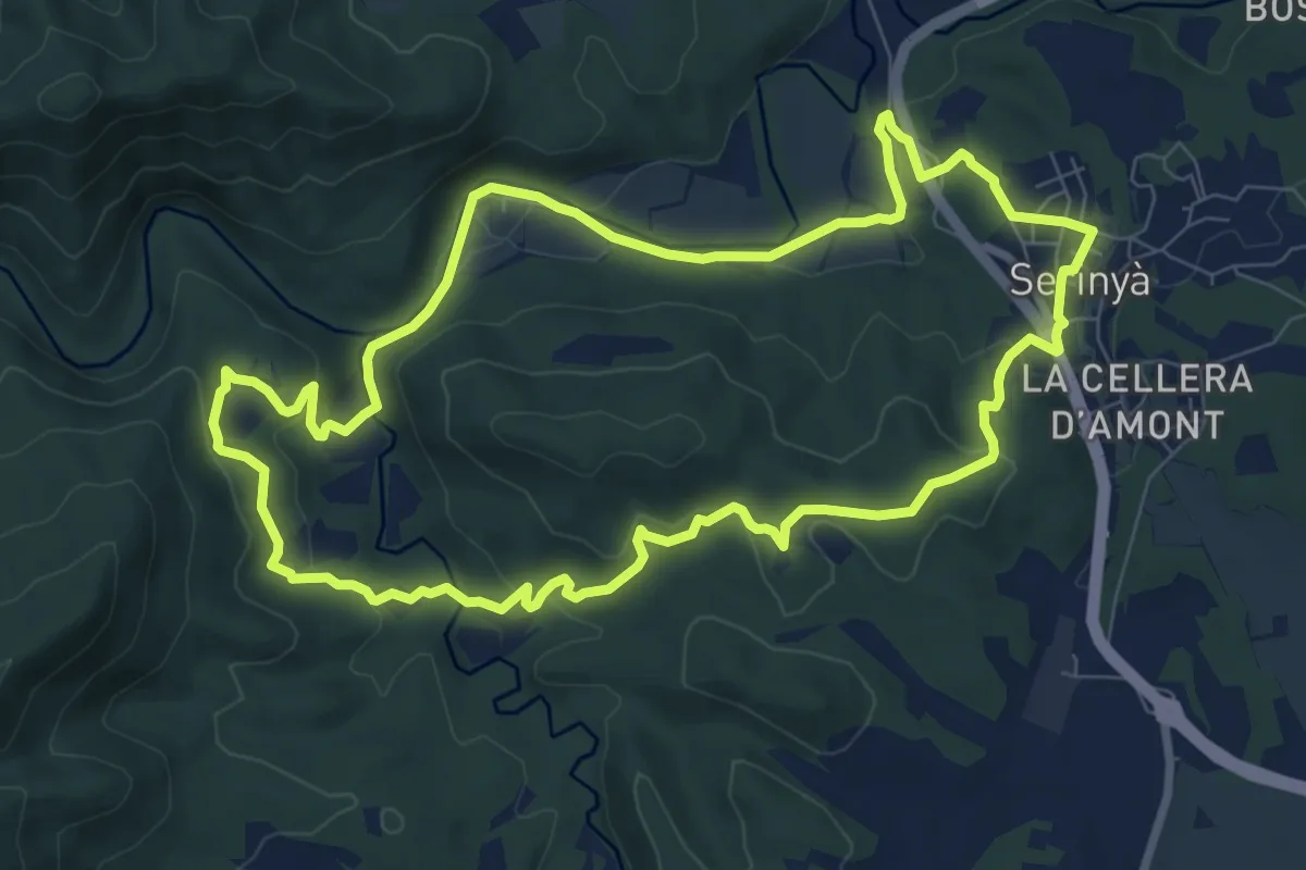
Medium · Trail
Font de Perduts
9.3 km · ↑ 247 m · 2 h 52 min · 6 km away
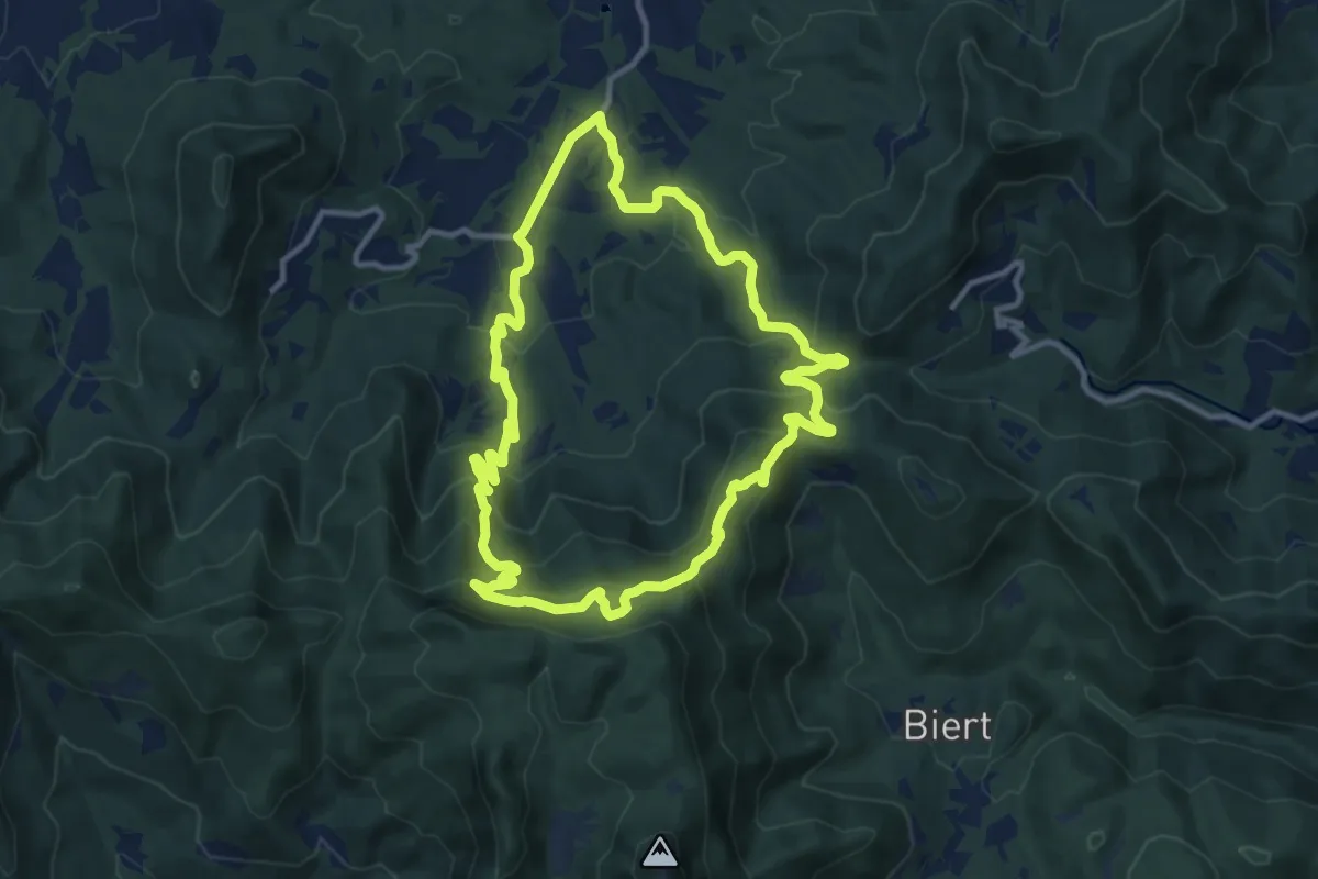
Medium · Trail
El Refugi dels emboscats
11.8 km · ↑ 538 m · 4 h 7 min · 6 km away
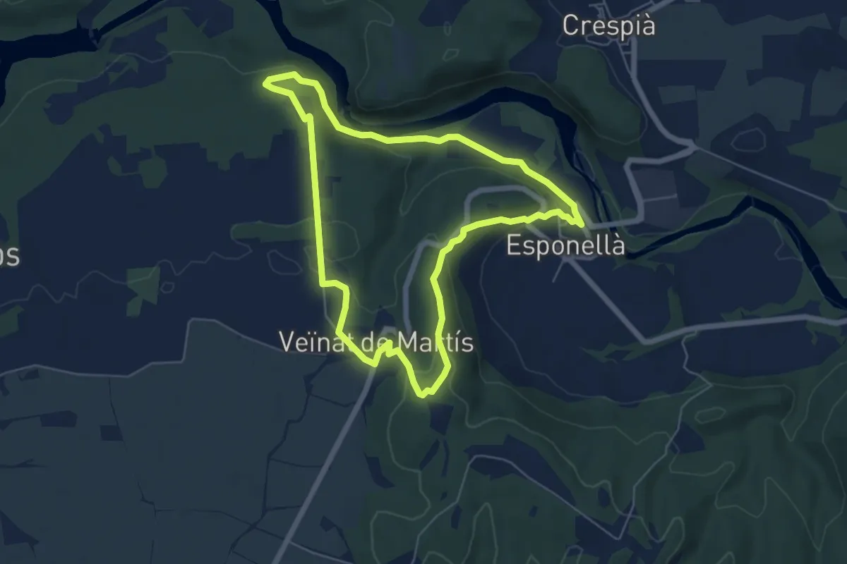
Easy · Trail
Ruta pels volts d’Esponellà
6.1 km · ↑ 170 m · 1 h 53 min · 6 km away
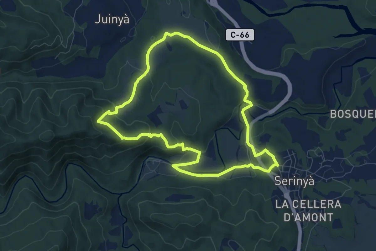
Medium · Trail
Creu de ca n'Hortós
8.3 km · ↑ 237 m · 2 h 36 min · 6 km away
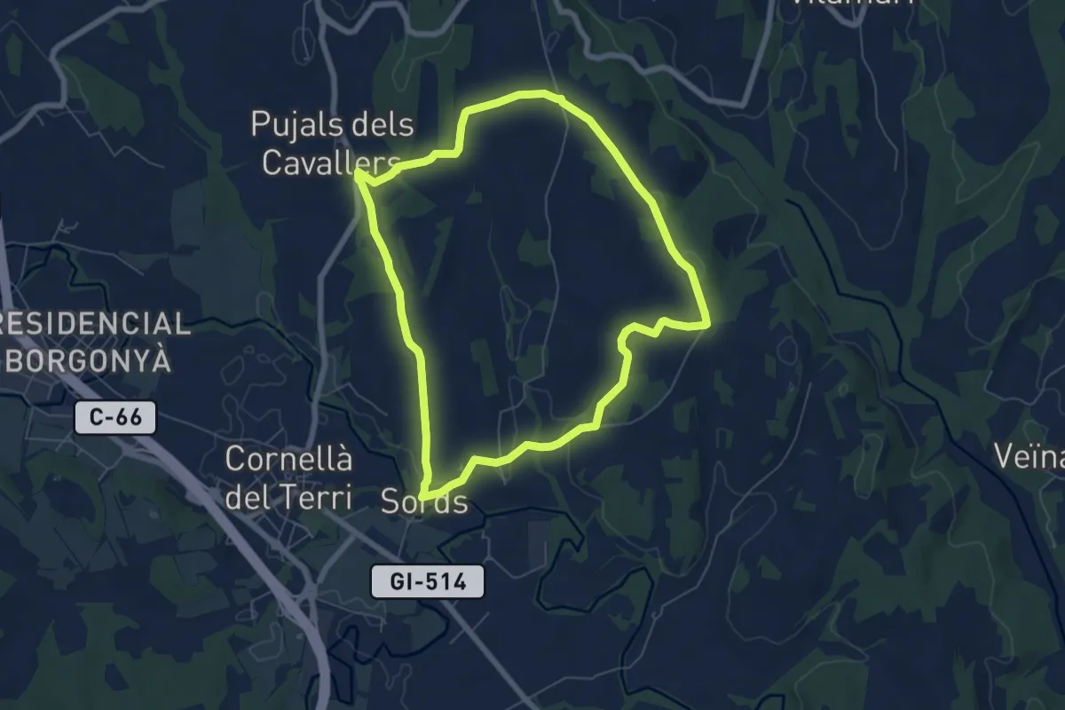
Easy · Trail
Cornellà de Terri, per la Plana de Sords i Pujals
6.7 km · ↑ 70 m · 1 h 50 min · 7 km away
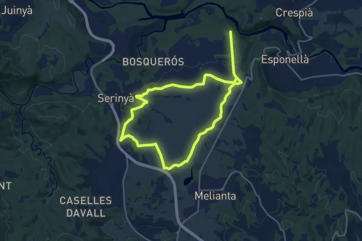
Demanding · Trail
Volta pel Pla de Martís
21.4 km · ↑ 80 m · 5 h 14 min · 7 km away
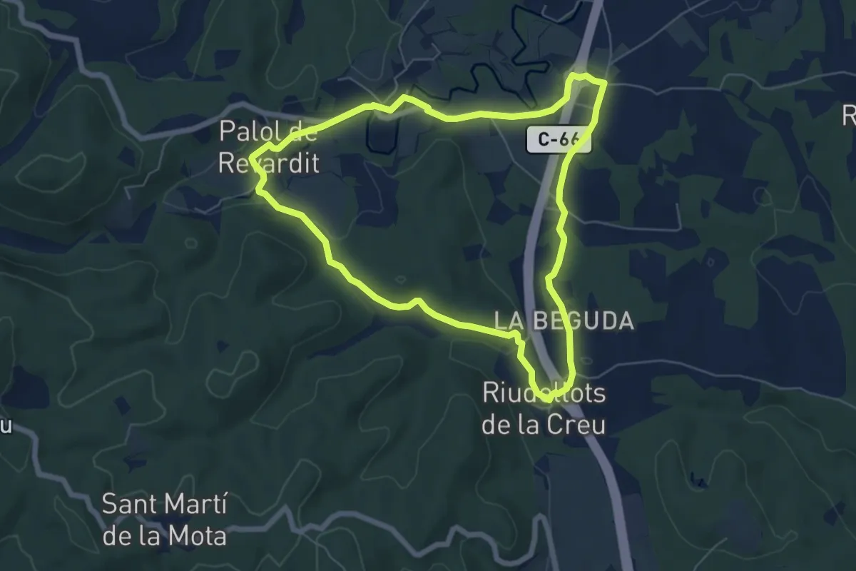
Easy · Trail
Ruta dels indrets amb història - 1
6.3 km · ↑ 67 m · 1 h 43 min · 8 km away
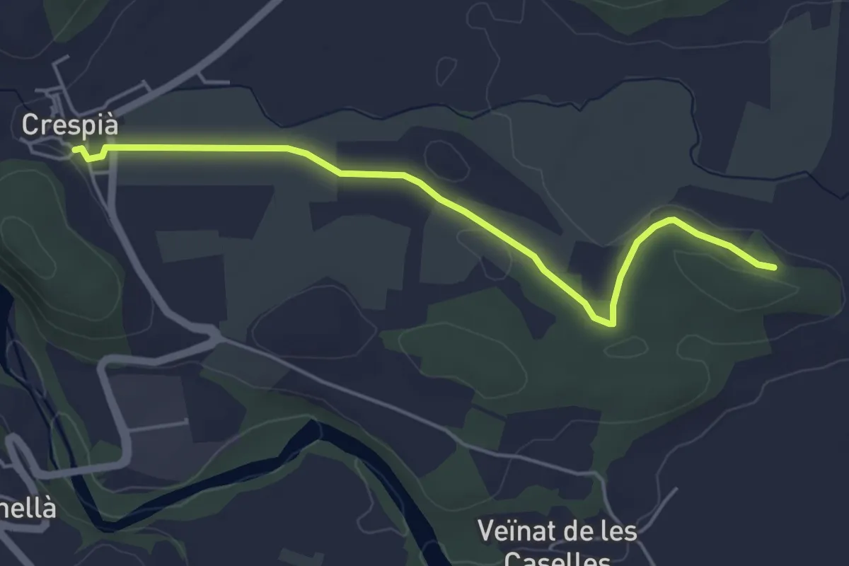
Easy · Trail
Ruta del Pou de Glaç
5.1 km · ↑ 31 m · 1 h 17 min · 8 km away
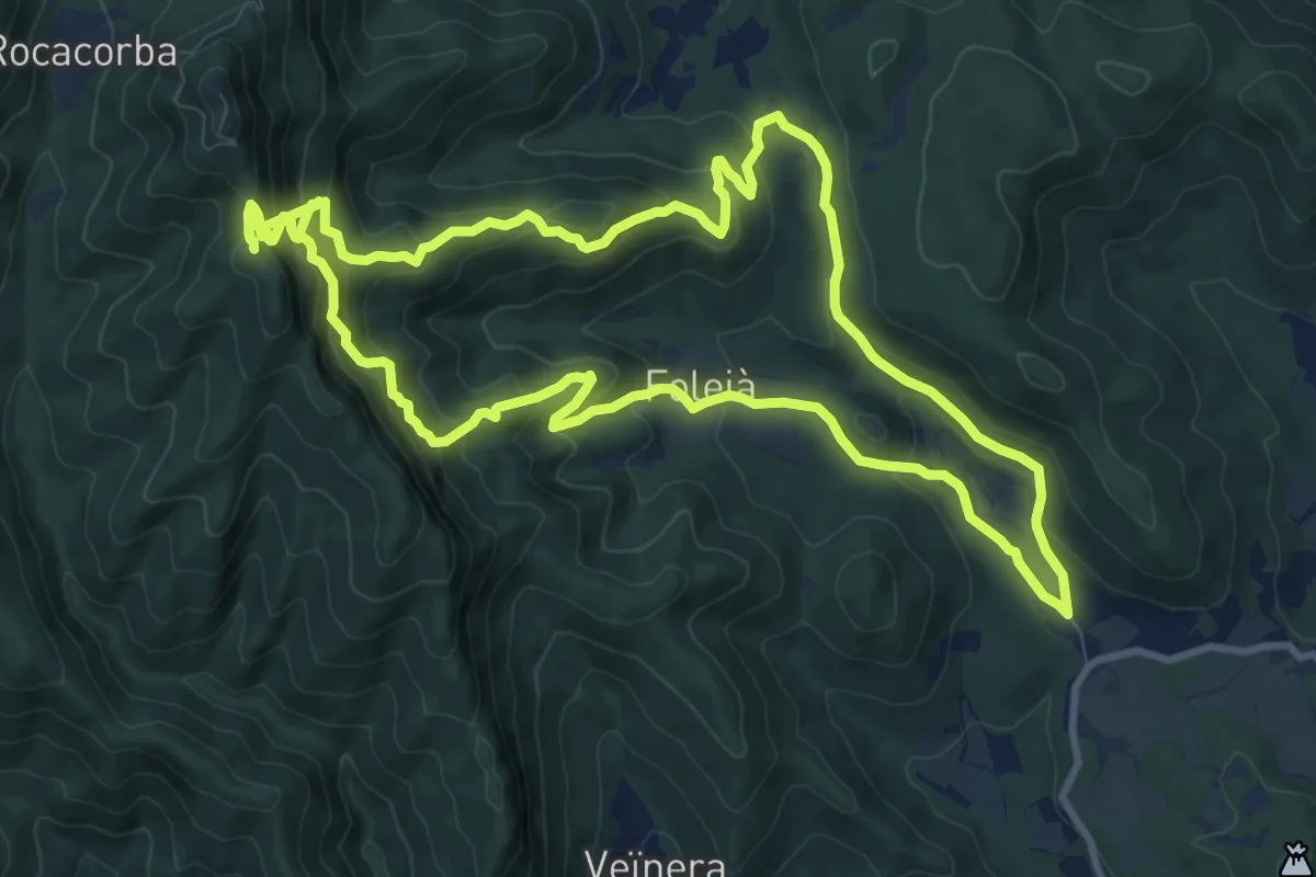
Demanding · Summit
D'Adri al Santuari de Rocacorba
12.1 km · ↑ 844 m · 4 h 46 min · 8 km away
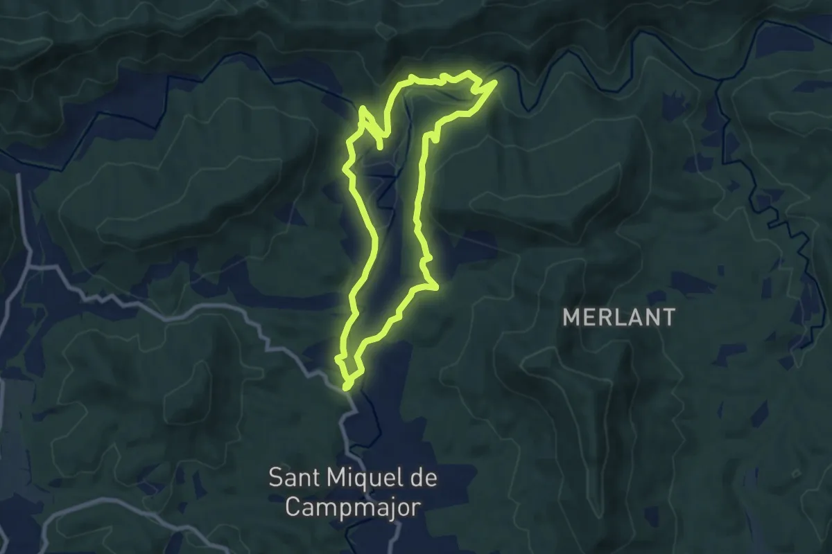
Medium · Trail
Ruta del veïnat de Roca i Briolf
8.7 km · ↑ 200 m · 2 h 36 min · 9 km away
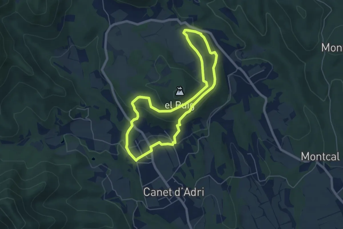
Easy · Trail
Font de la Torre i volcà de Puig d'Adri
5.2 km · ↑ 178 m · 1 h 41 min · 9 km away
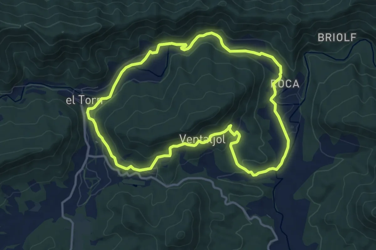
Medium · Trail
El Santuari del Collell: Presó de Guerra
9.9 km · ↑ 204 m · 2 h 55 min · 10 km away
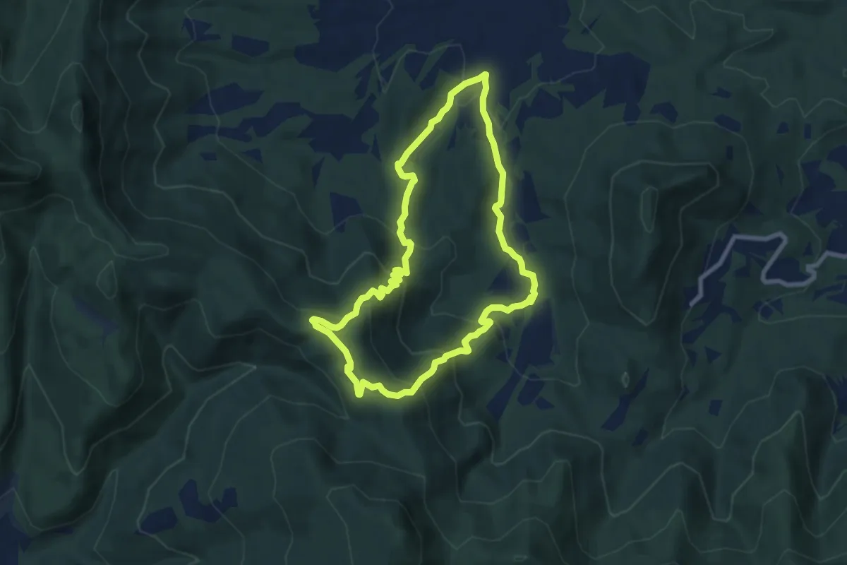
Medium · Trail
Ruta dels carboners. Mieres
7.5 km · ↑ 370 m · 2 h 41 min · 10 km away
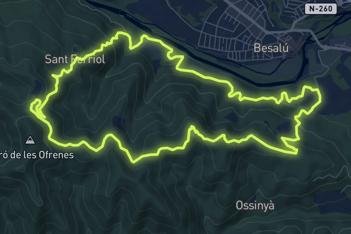
Medium · Summit
Besalú al Puig Cornador i el Santuari de Sant Ferriol
11.3 km · ↑ 525 m · 3 h 57 min · 10 km away
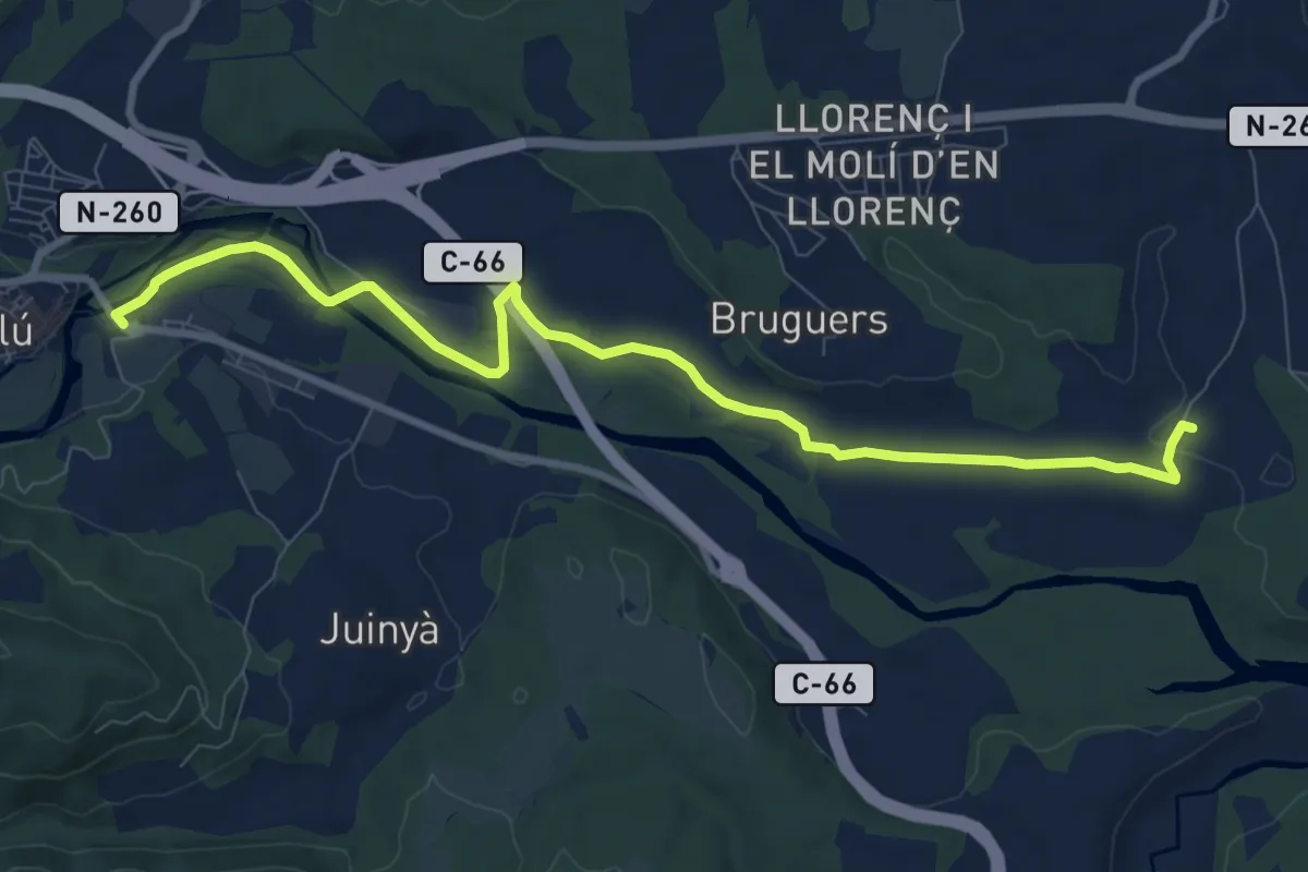
Medium · Trail
Besalú-Dosquers
10.6 km · ↑ 54 m · 2 h 37 min · 10 km away