Trails near Buenavista del Norte
32 hikes starting within 15 km, nearest first.
Nearest first
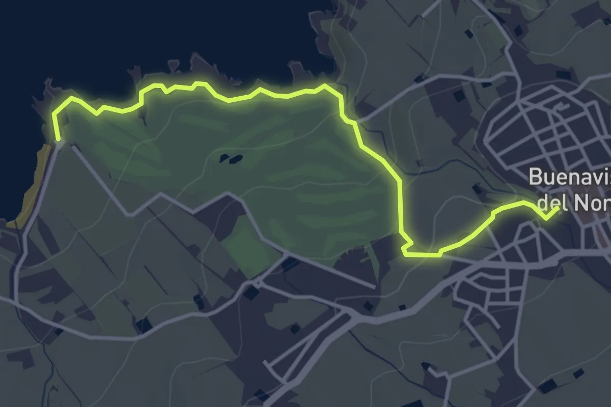
Easy · Trail
Sendero Las Salinas
5.1 km · ↑ 126 m · 1 h 28 min · 2 km away
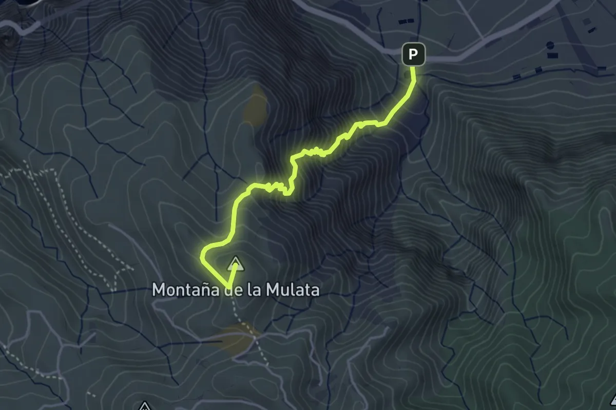
Demanding · Summit
Camino del Risco
4.9 km · ↑ 655 m · 2 h 34 min · 2 km away
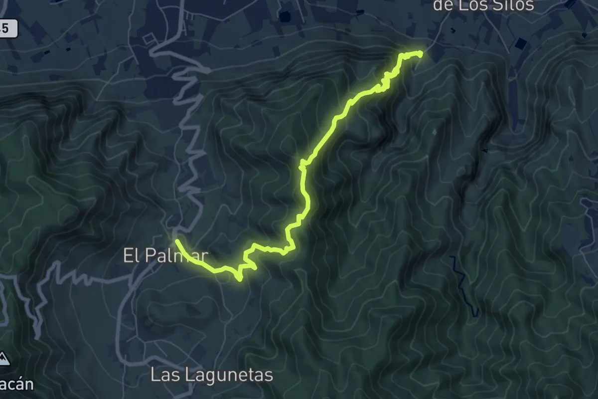
Demanding · Trail
Los Silos - Talavera - El Palmar
10.3 km · ↑ 882 m · 4 h 20 min · 3 km away
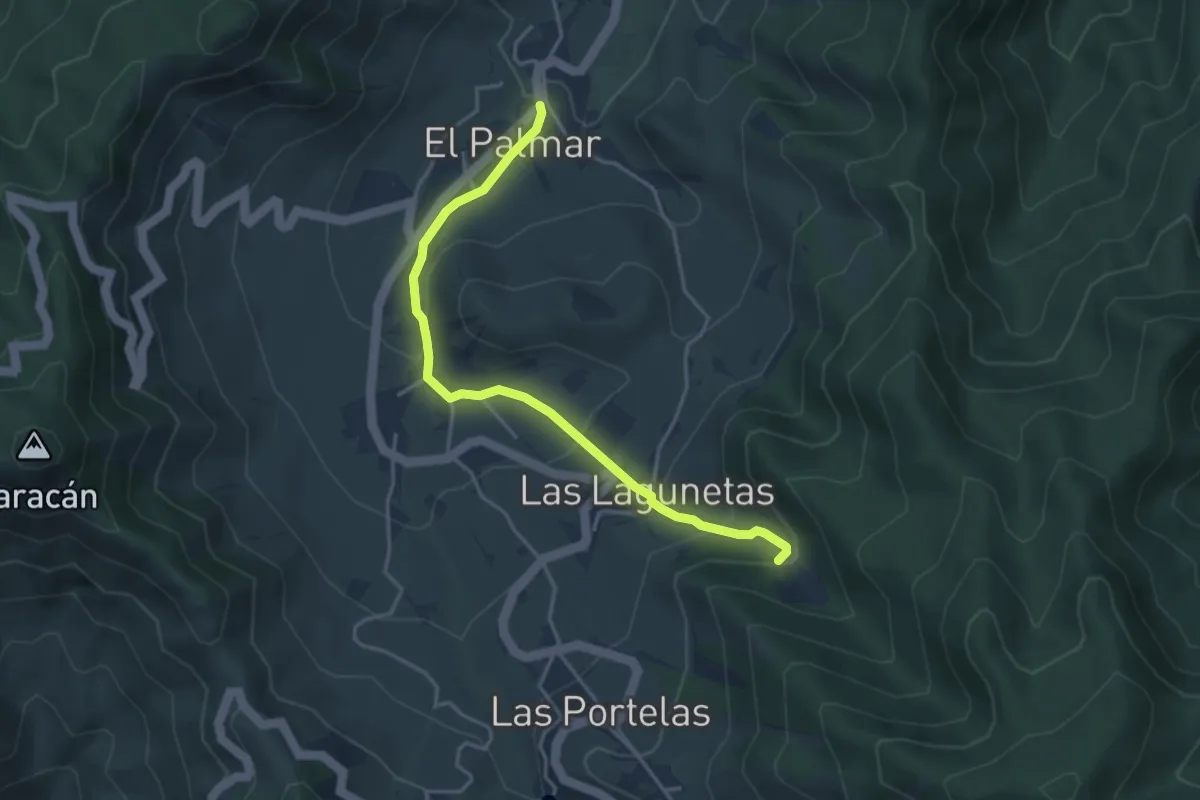
Easy · Trail
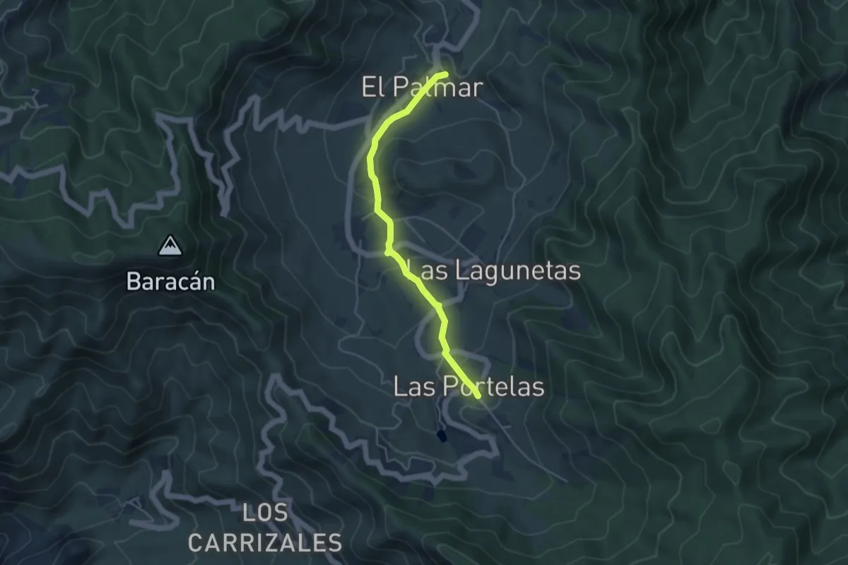
Monte del Agua por Las Lagunetas
4.9 km · ↑ 265 m · 1 h 44 min · 3 km away
Easy · Trail
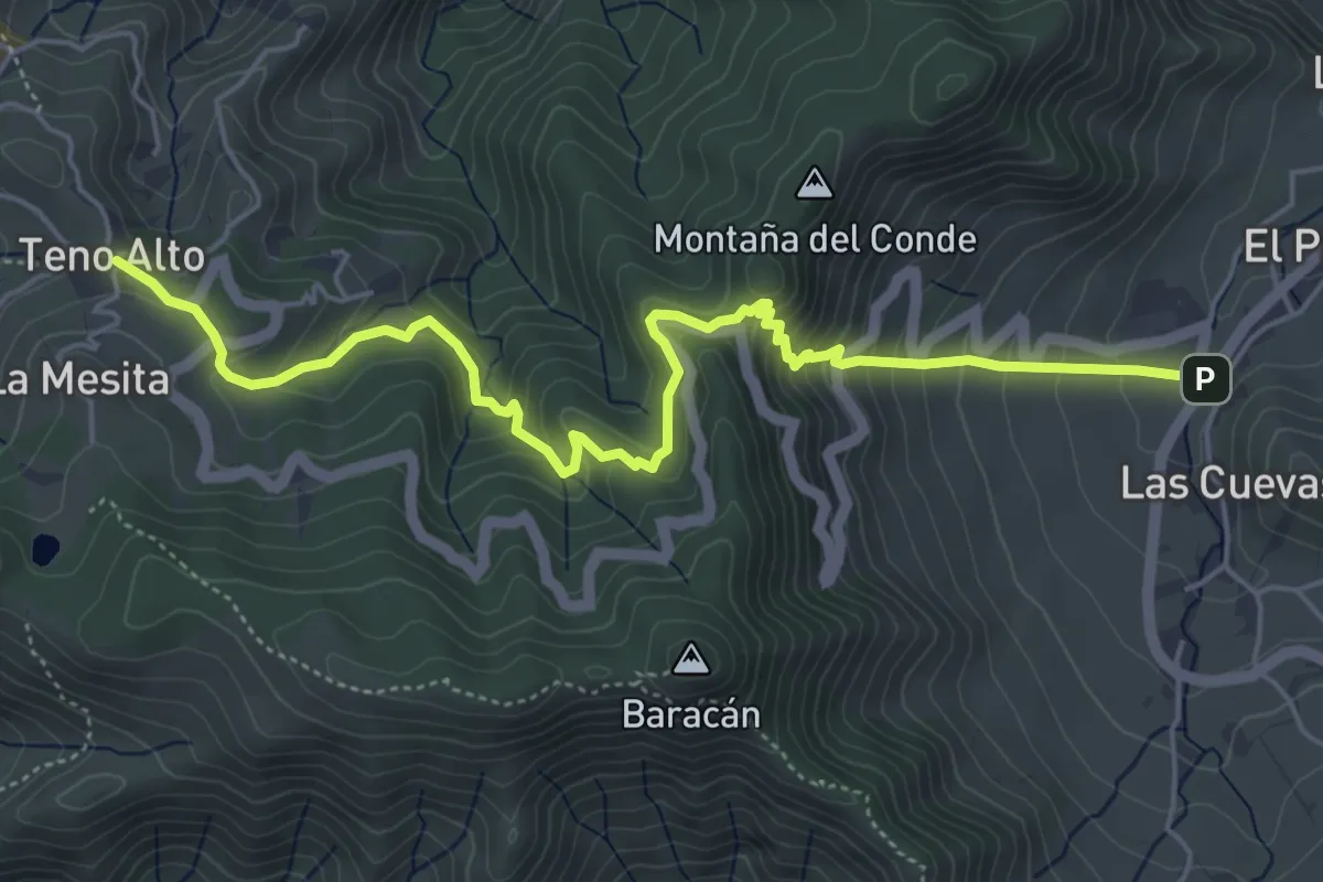
Ruta El Palmar- Las Portelas
4.9 km · ↑ 243 m · 1 h 41 min · 3 km away
Medium · Trail
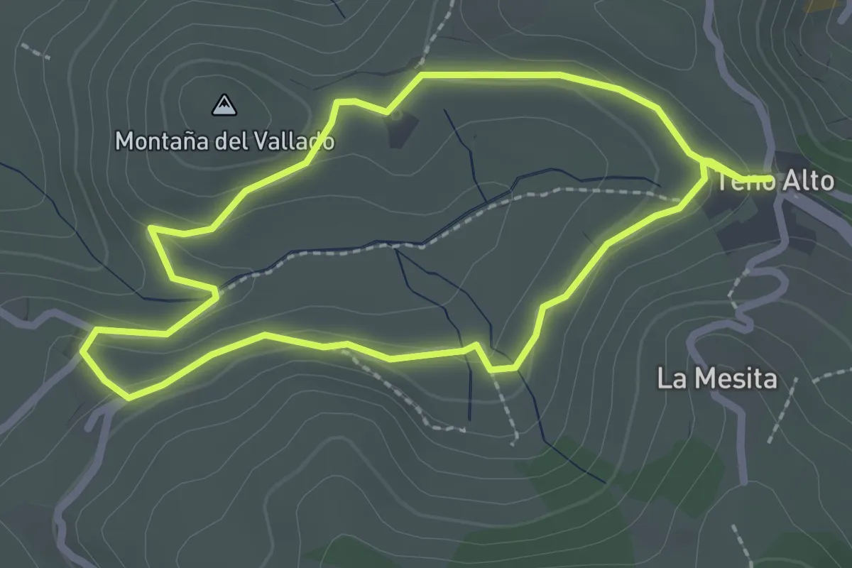
Callejón de Teno
7.7 km · ↑ 542 m · 2 h 59 min · 3 km away
Easy · Summit
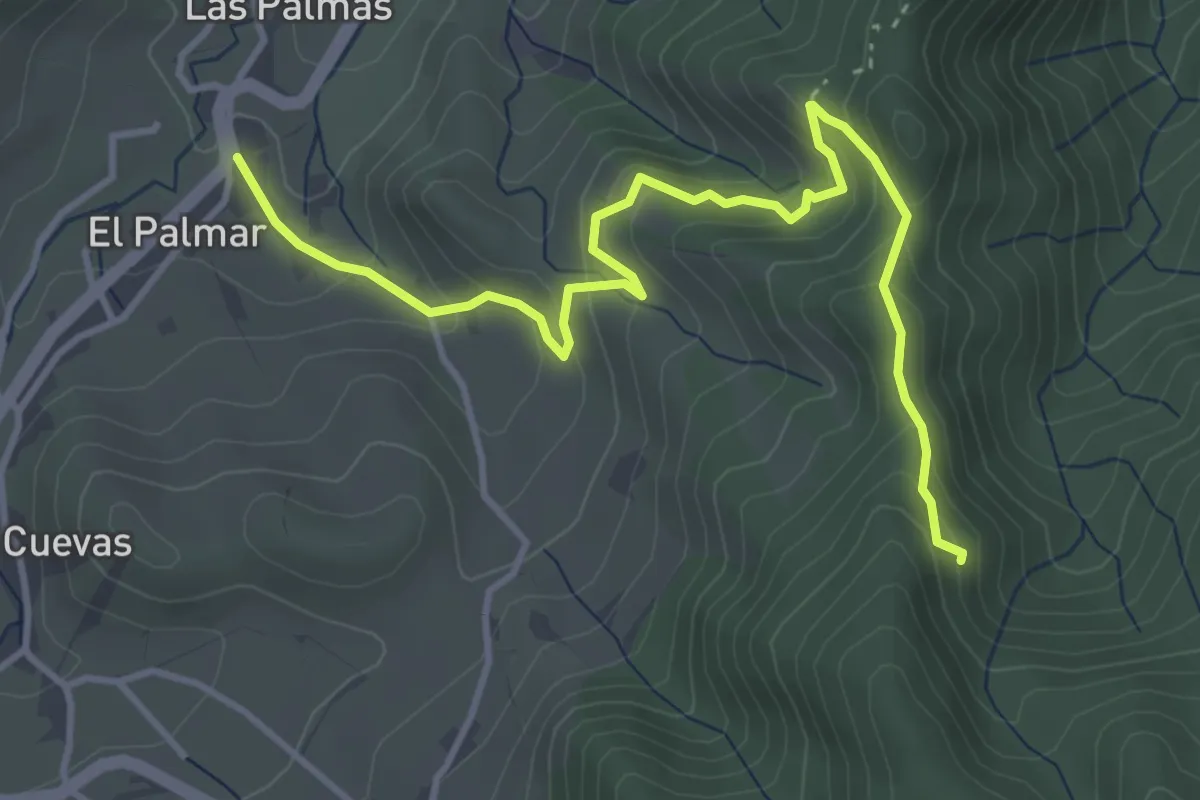
Sendero Autoguiado Teno Alto
2.7 km · ↑ 45 m · 47 min · 4 km away
Medium · Trail
Monte del Agua por Las Huertas
5.7 km · ↑ 358 m · 2 h 8 min · 4 km away
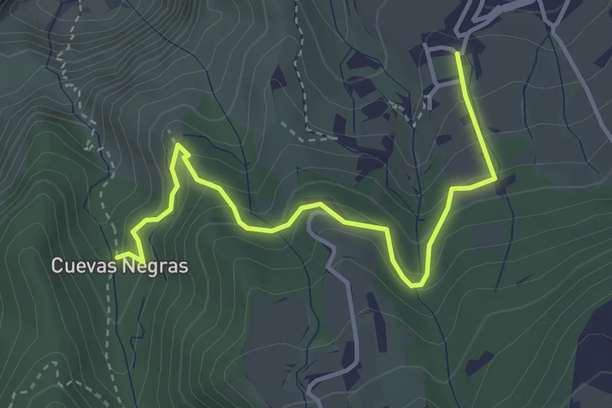
Medium · Trail
Cuevas Negras - Tierra del Trigo
4.4 km · ↑ 335 m · 1 h 46 min · 5 km away
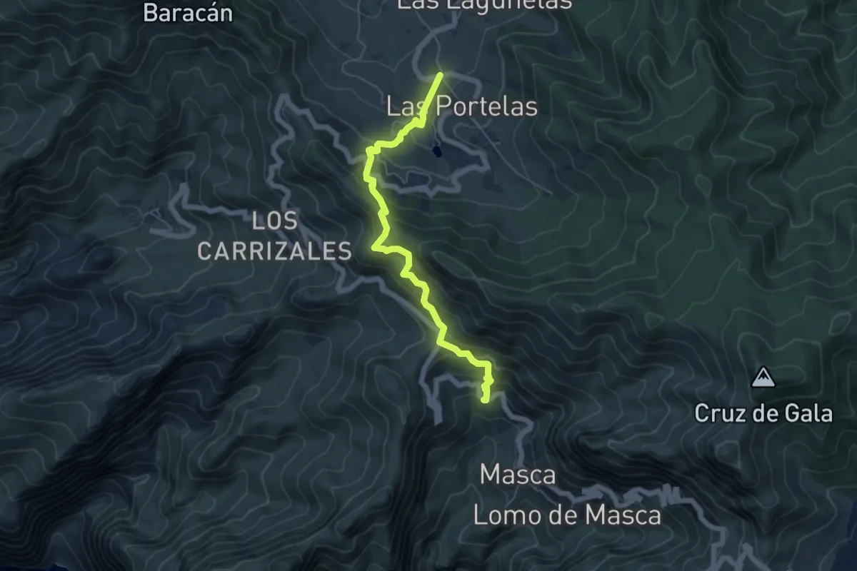
Medium · Trail
Las Portelas – Masca
6.7 km · ↑ 579 m · 2 h 50 min · 5 km away
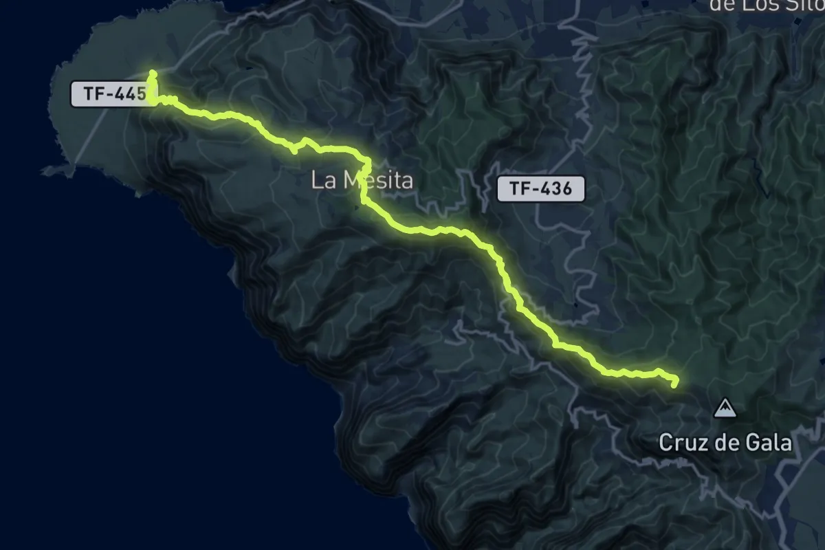
Demanding · Summit
San José de los Llanos - Punta de Teno
23.6 km · ↑ 1493 m · 8 h 49 min · 6 km away
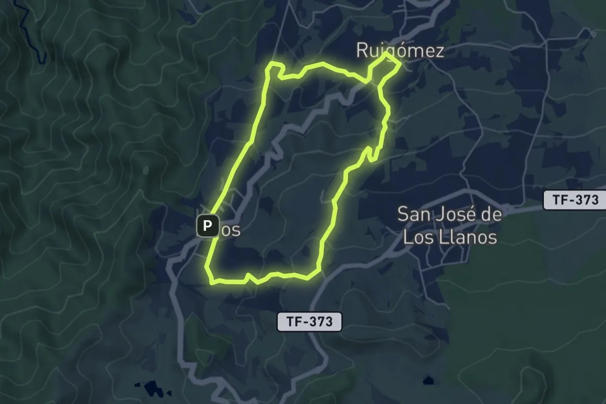
Easy · Trail
Ruigómez - Erjos - Ruigómez
5.8 km · ↑ 272 m · 2 h 3 min · 7 km away
Medium · Trail
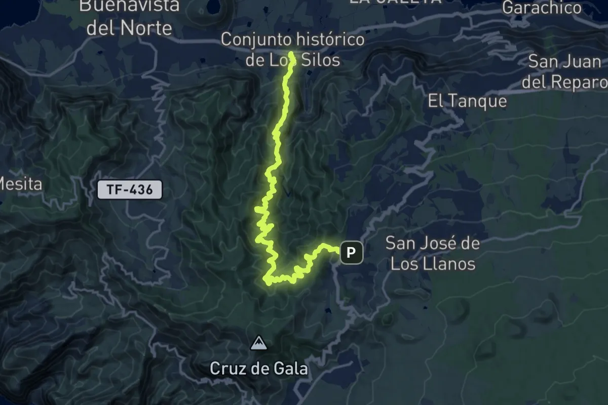
Las Moradas
10.8 km · ↑ 505 m · 4 h 14 min · 7 km away
Demanding · Trail
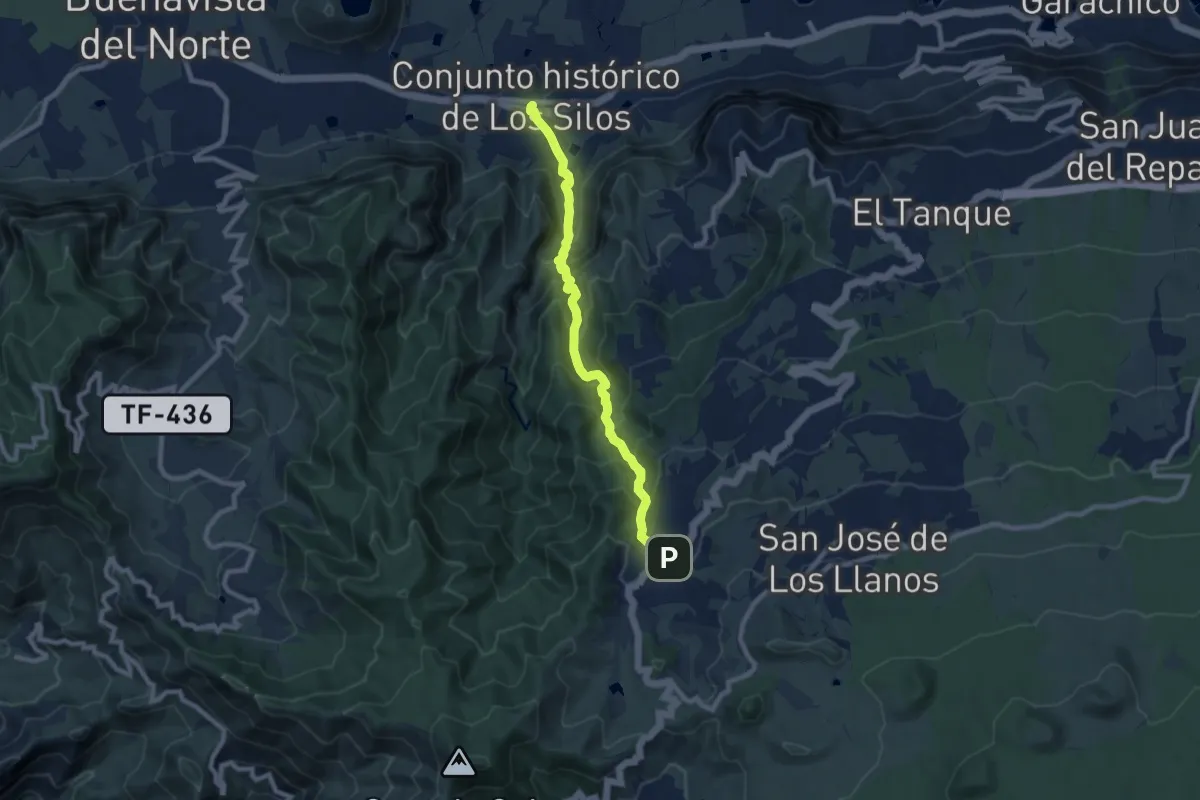
Cuevas Negras
10.6 km · ↑ 887 m · 4 h 25 min · 7 km away
Demanding · Summit
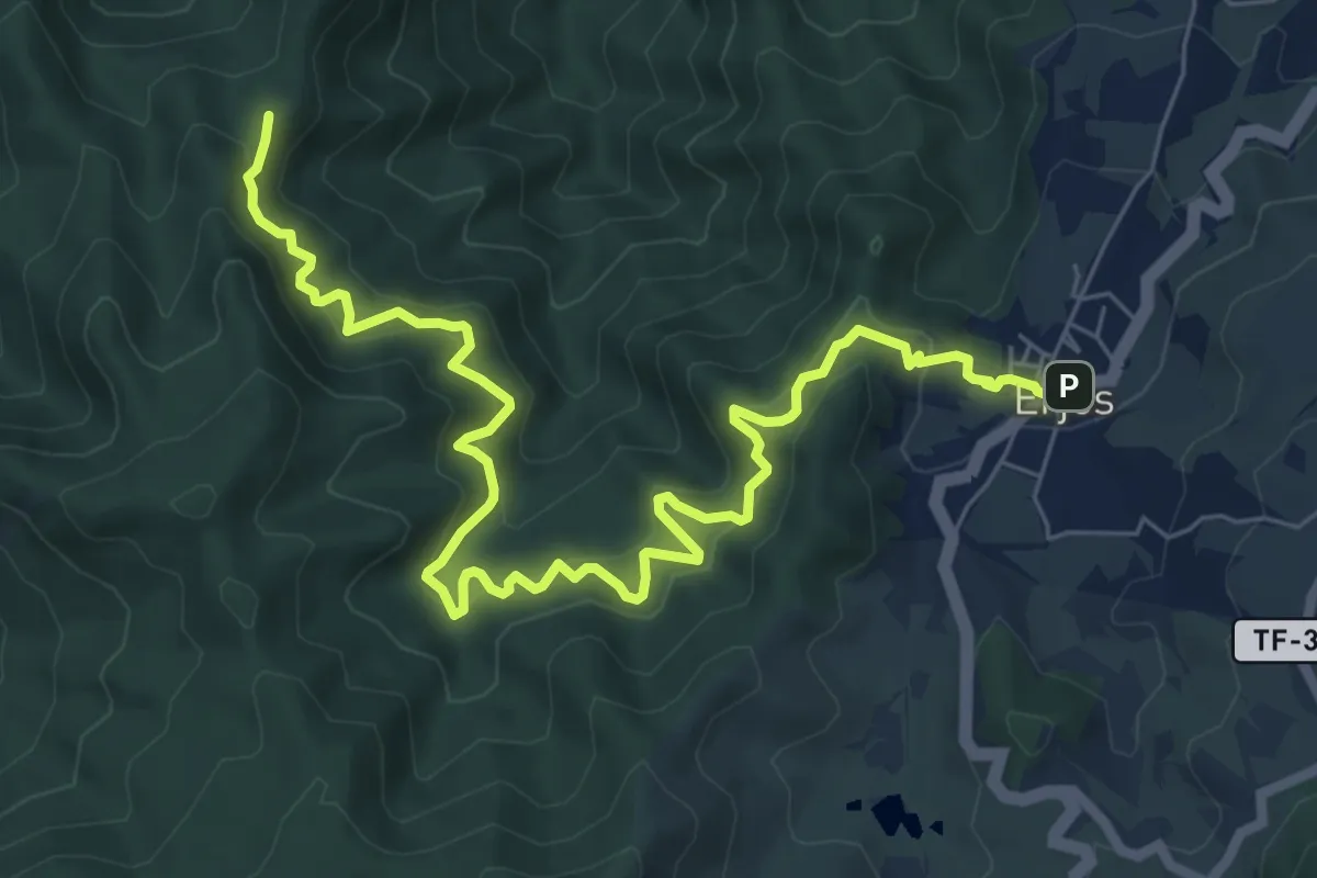
Monte del Agua
11.1 km · ↑ 875 m · 4 h 31 min · 7 km away
Medium · Trail
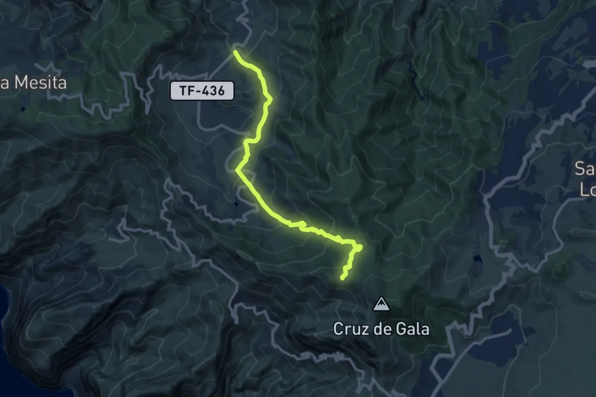
El Palmar – Cumbre de Bolico
11.0 km · ↑ 720 m · 4 h 9 min · 7 km away
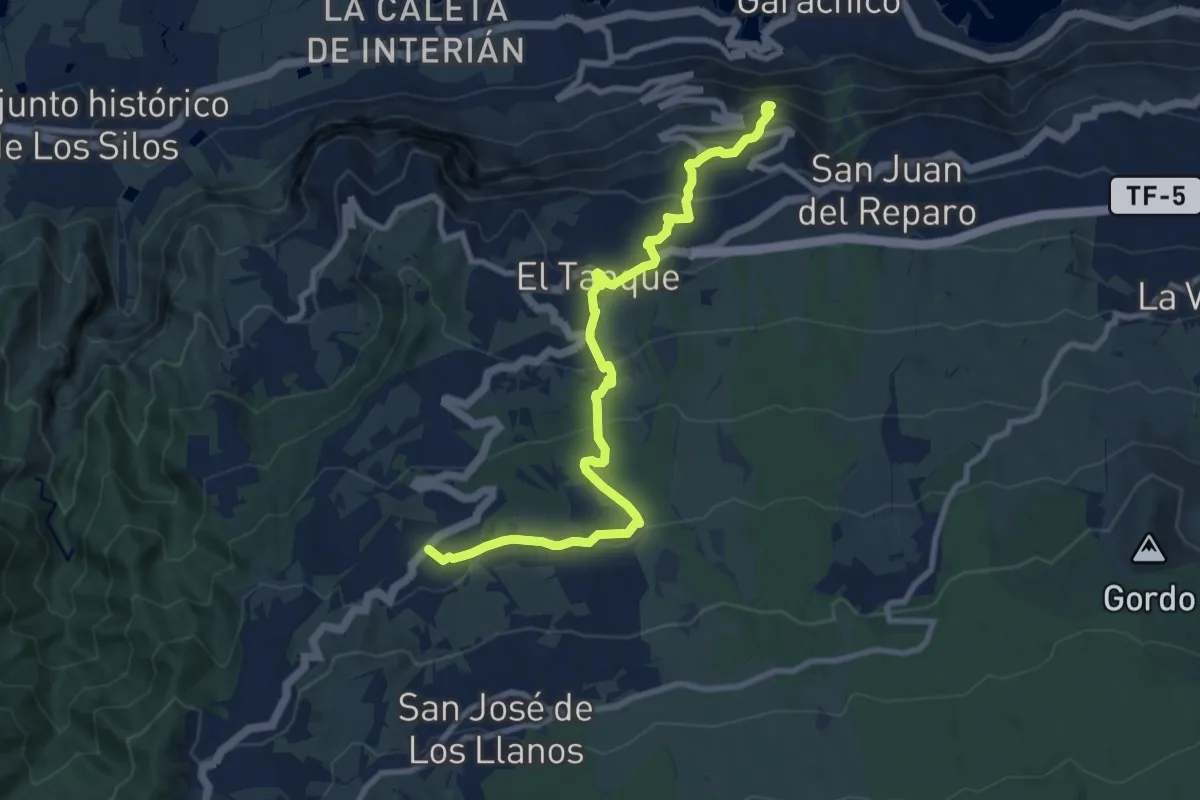
Easy · Trail
Ruigómez - El Tanque - EL Tanque Bajo - La Atalaya
6.2 km · ↑ 38 m · 1 h 55 min · 7 km away
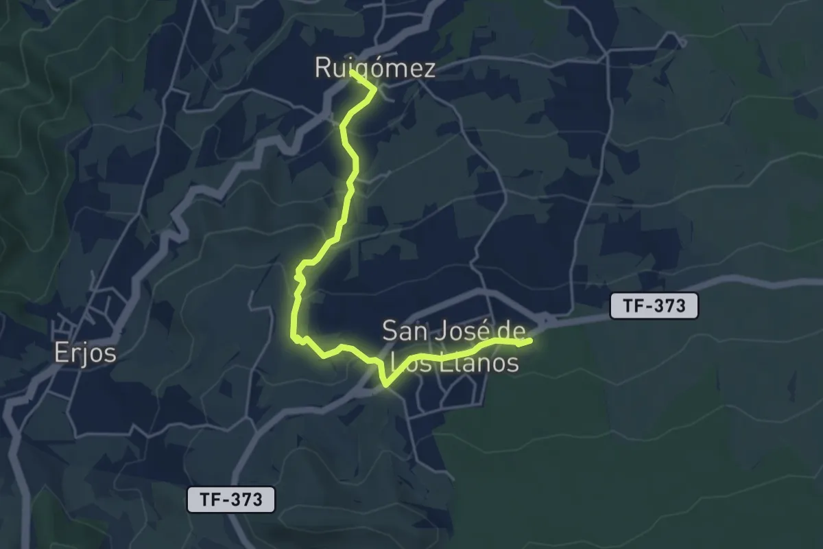
Easy · Trail
Ruigómez - San José de Los Llanos
2.9 km · ↑ 239 m · 1 h 8 min · 7 km away
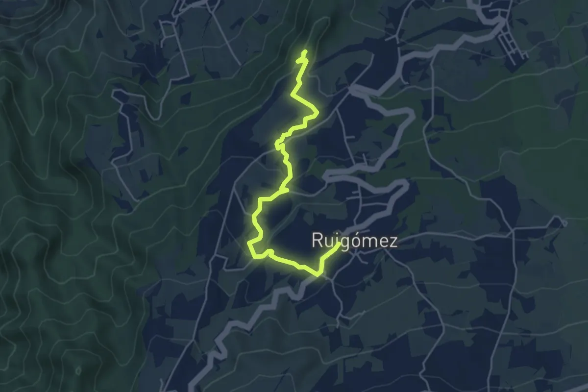
Easy · Summit
El Tanque Alto- Ruigómez-San José de Los Llanos
5.8 km · ↑ 158 m · 1 h 42 min · 7 km away
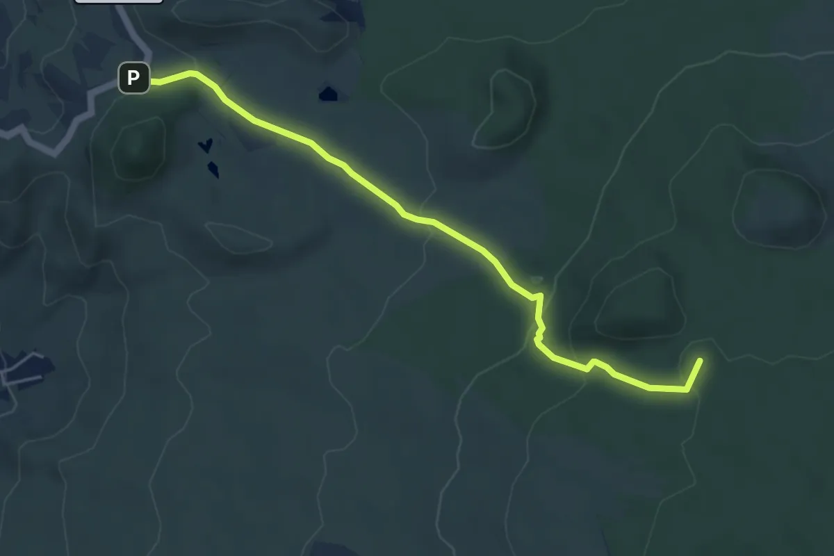
Easy · Summit
Los Partidos de Franquis - Chinyero
6.1 km · ↑ 217 m · 1 h 55 min · 8 km away
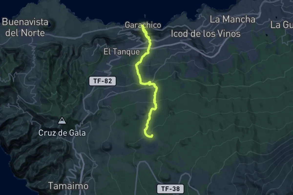
Demanding · Summit
Garachico - Montaña Chinyero
26.0 km · ↑ 1574 m · 9 h 33 min · 9 km away
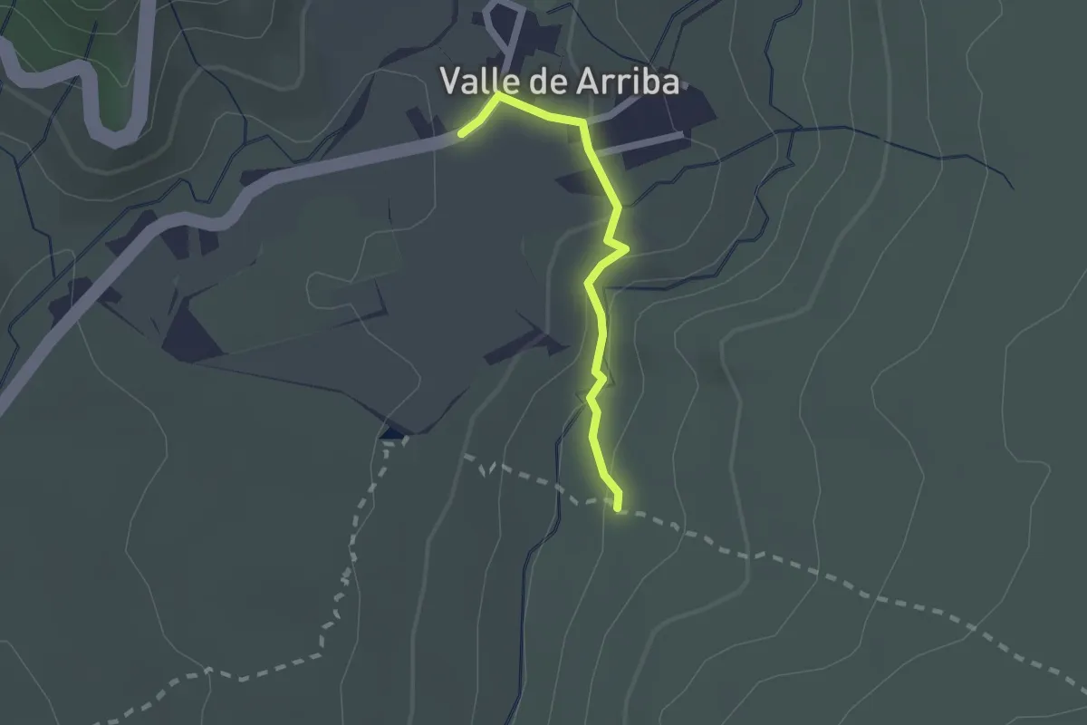
Easy · Trail
Valle de Arriba
2.0 km · ↑ 77 m · 38 min · 9 km away
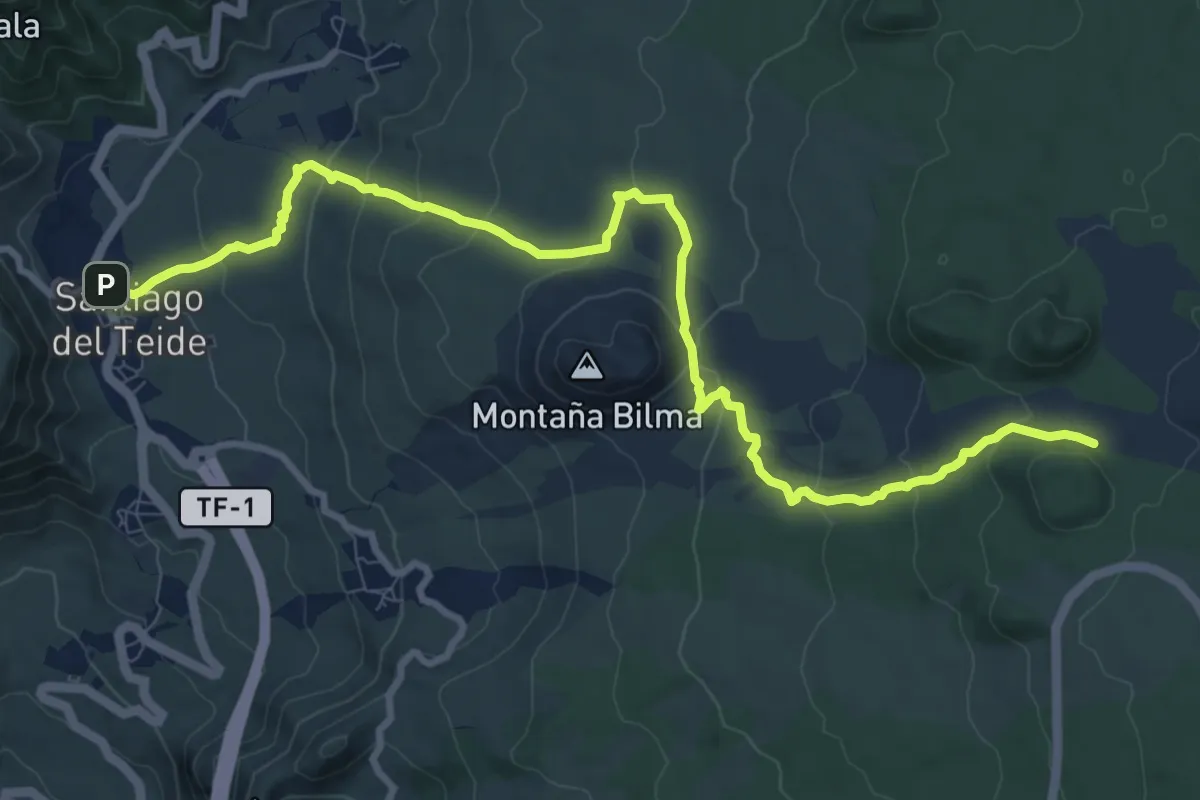
Medium · Trail
Santiago del Teide - Montaña Chinyero
14.6 km · ↑ 525 m · 4 h 35 min · 9 km away
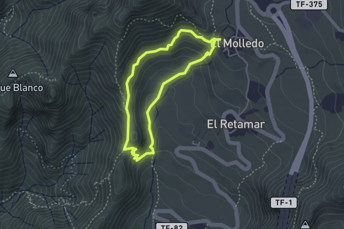
Medium · Summit
Circular El Molledo
3.4 km · ↑ 214 m · 1 h 19 min · 10 km away
Medium · Summit
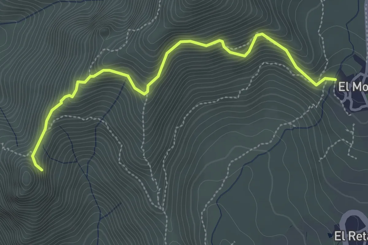
Risco Blanco
2.0 km · ↑ 205 m · 58 min · 10 km away
Medium · Trail
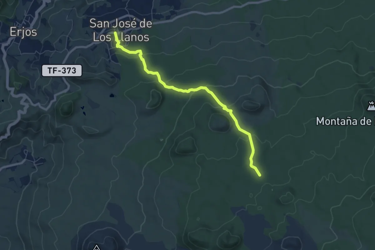
San José de Los Llanos - Montaña Chinyero
8.6 km · ↑ 281 m · 2 h 39 min · 11 km away
Demanding · Summit
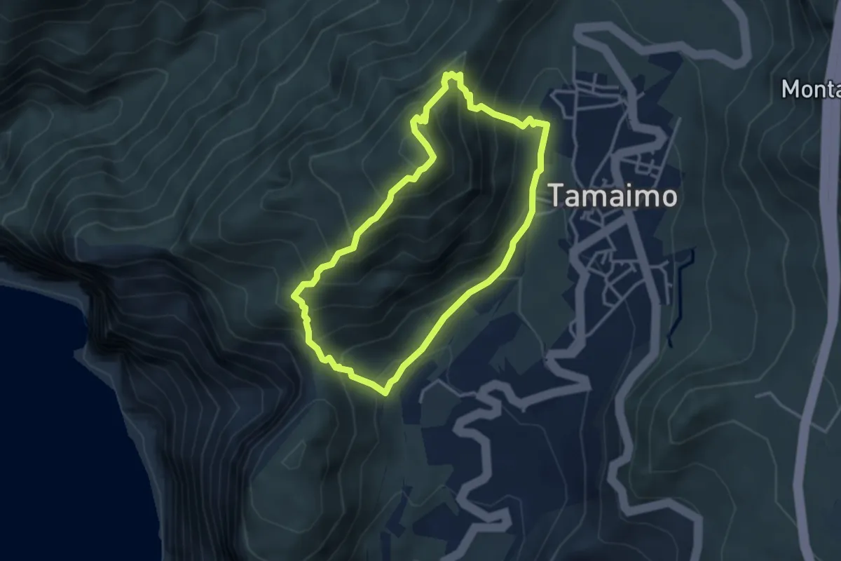
Circular Guama-Tamaimo
3.9 km · ↑ 414 m · 1 h 52 min · 12 km away
Demanding · Trail
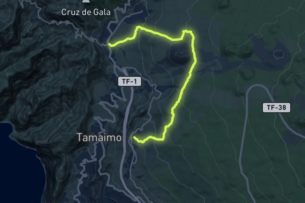
Ruta del Almendro en Flor
18.0 km · ↑ 688 m · 5 h 45 min · 12 km away
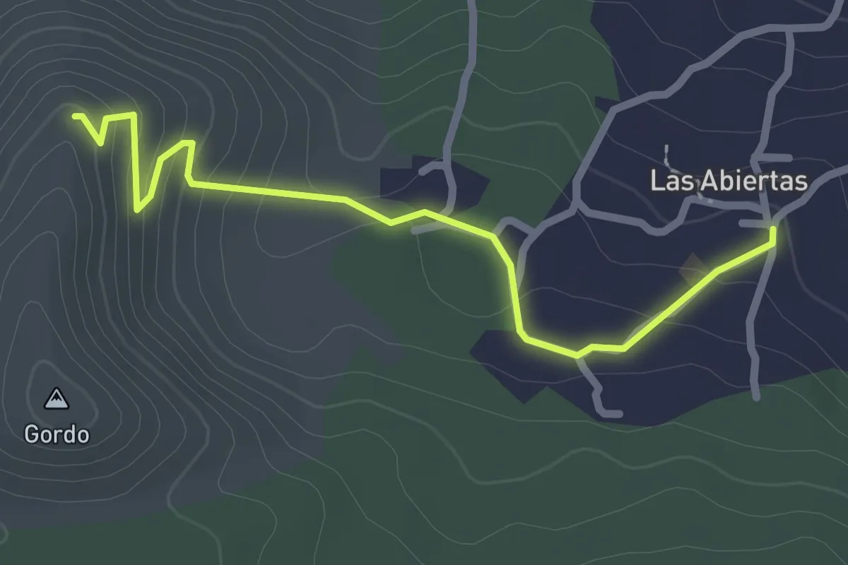
Easy · Trail
Variante del Cerro Gordo
3.0 km · ↑ 118 m · 58 min · 12 km away
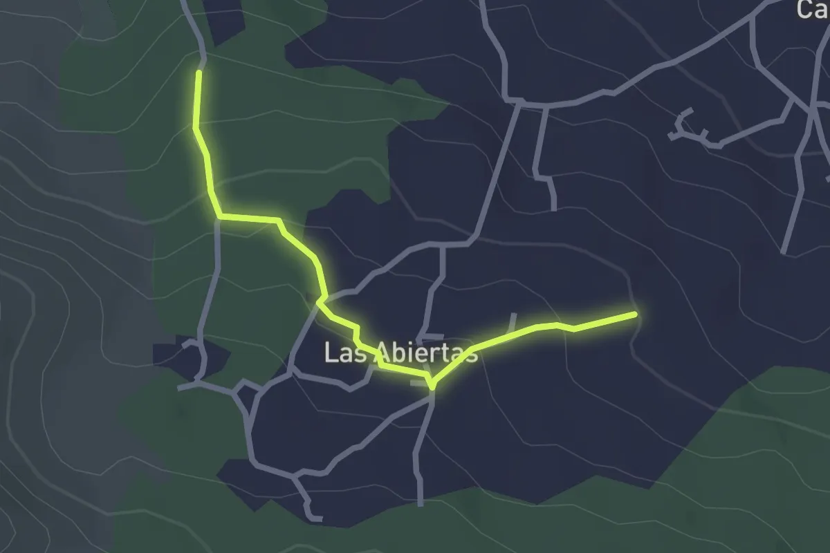
Easy · Trail
Variante por las Abiertas
2.8 km · ↑ 131 m · 57 min · 13 km away
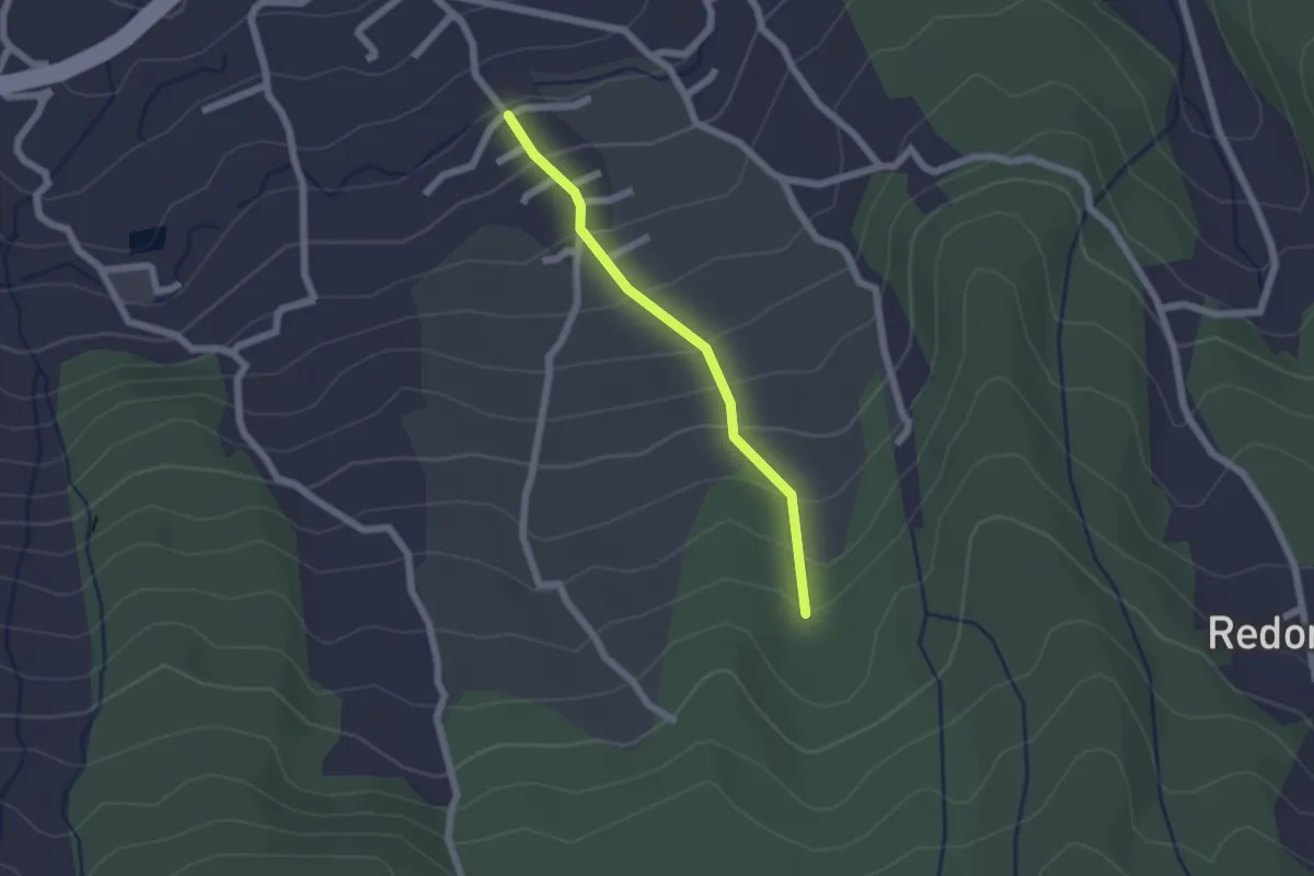
Easy · Trail
Derivacion a Cueva del Viento
2.2 km · ↑ 179 m · 54 min · 15 km away
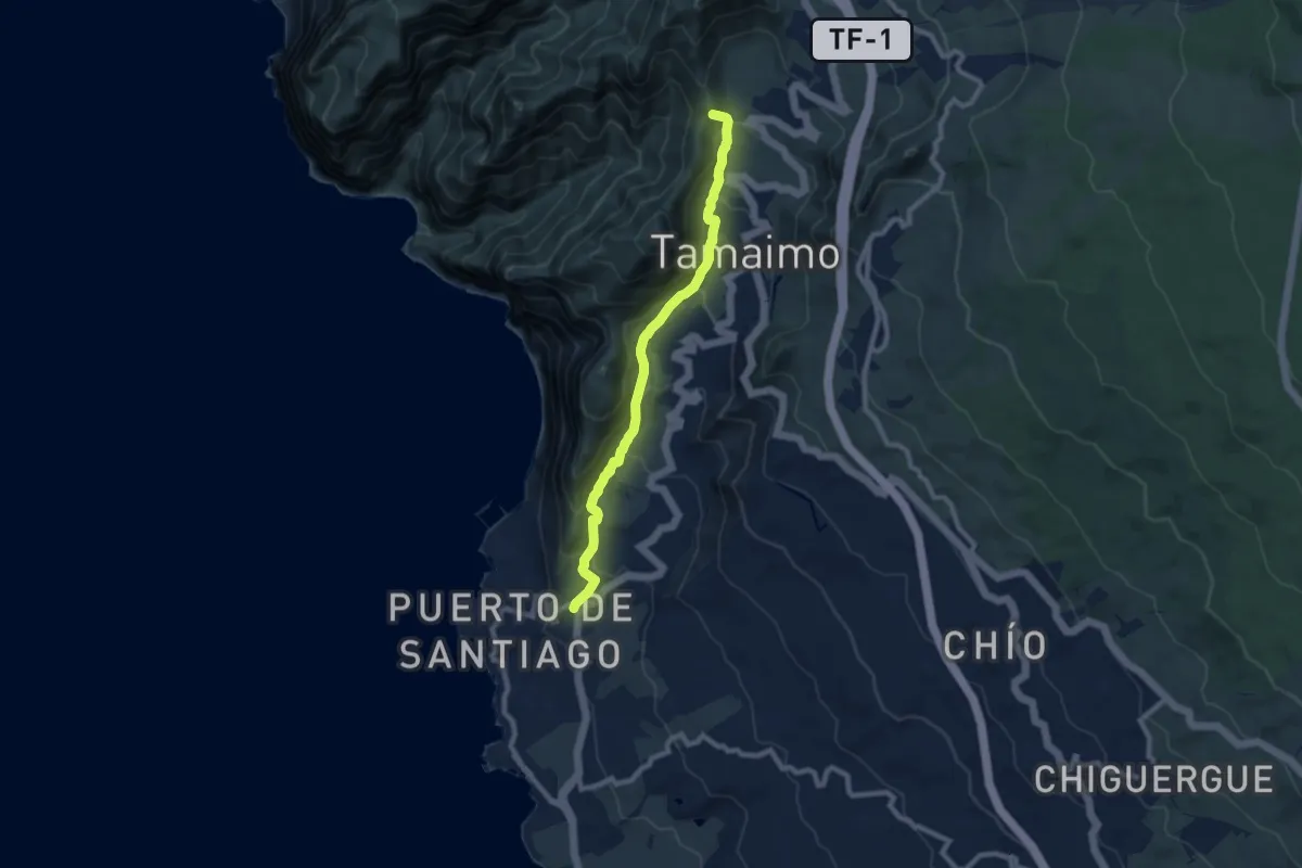
Medium · Summit
Santiago del Teide - Puerto de Santiago
10.6 km · ↑ 646 m · 3 h 54 min · 15 km away