Trails near Bueu
44 hikes starting within 15 km, nearest first.
Nearest first
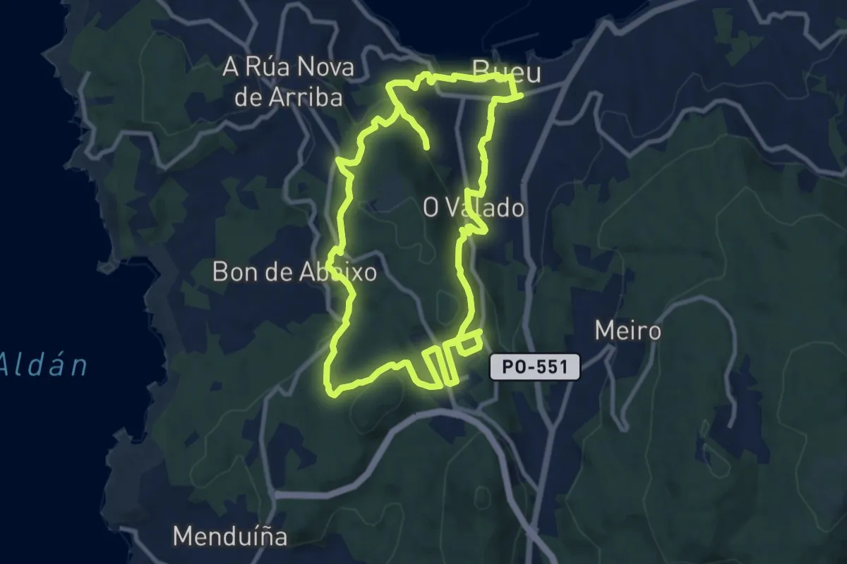
Medium · Trail
Ruta dos Pazos
10.2 km · ↑ 385 m · 3 h 23 min · 1 km away
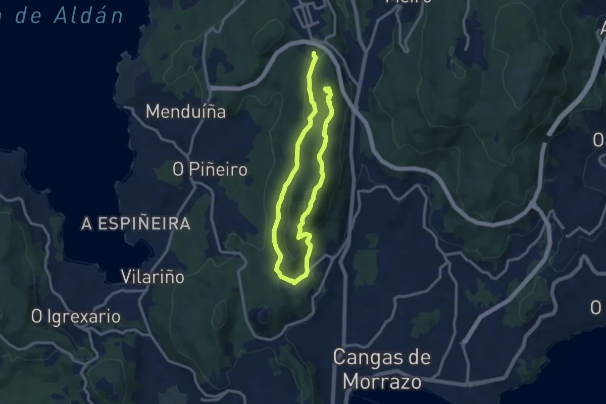
Medium · Summit
Sendeiro circular da serra da Madalena
13.4 km · ↑ 513 m · 4 h 16 min · 3 km away
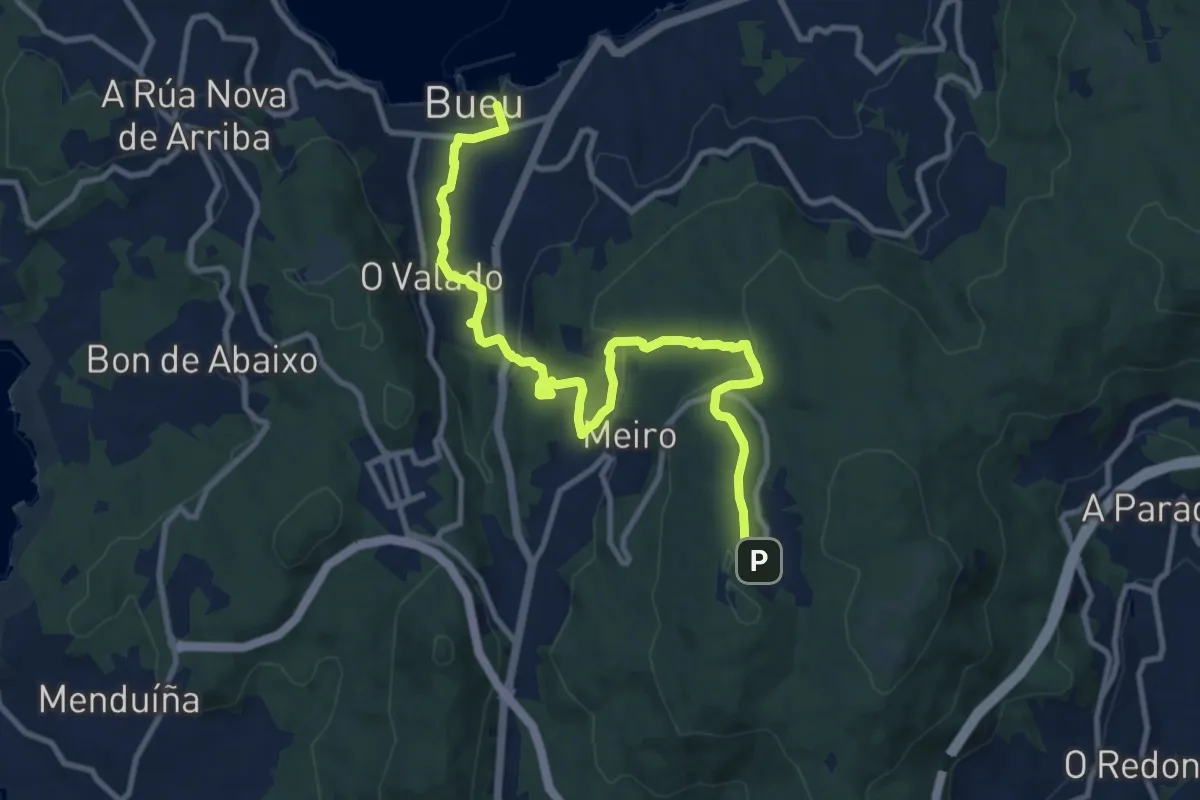
Easy · Trail
Ruta dos Moiños
6.2 km · ↑ 30 m · 1 h 48 min · 3 km away
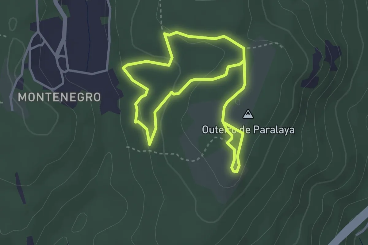
Easy · Summit
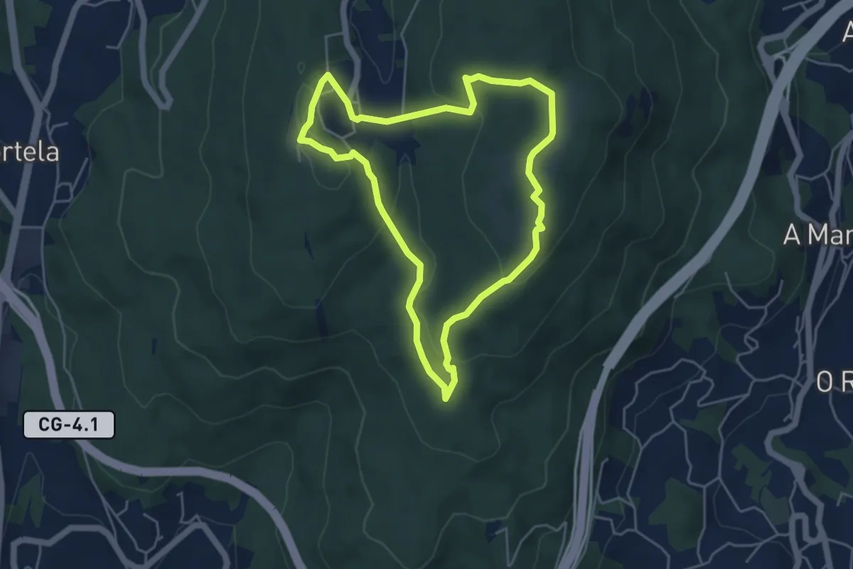
Ruta de Ermelo
2.9 km · ↑ 69 m · 52 min · 4 km away
Easy · Summit
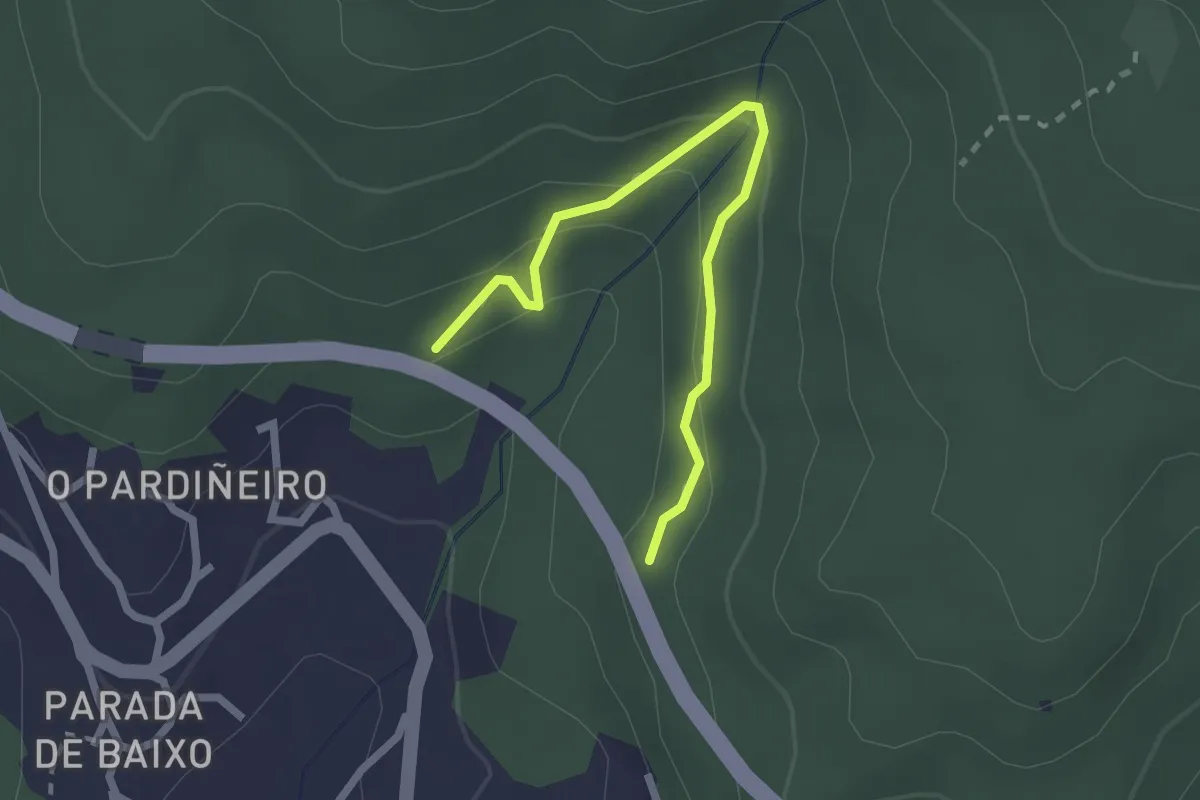
Ruta dos Abades
4.7 km · ↑ 162 m · 1 h 32 min · 4 km away
Easy · Trail
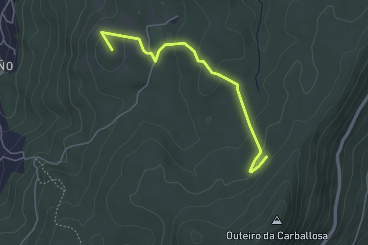
Sendeiro da Fraga de Coiro
2.5 km · ↑ 140 m · 54 min · 4 km away
Easy · Summit
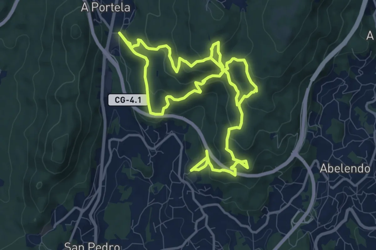
Chans de Cela
4.2 km · ↑ 117 m · 1 h 14 min · 5 km away
Medium · Trail
Sendeiro das pedras de Coiro
10.5 km · ↑ 614 m · 3 h 51 min · 5 km away
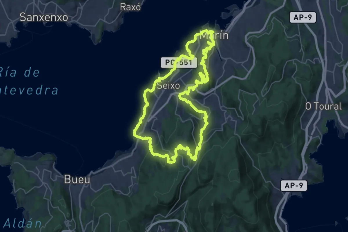
Demanding · Summit
Montes e Praias - Longa (Sendeiro Azul)
27.9 km · ↑ 987 m · 9 h 6 min · 5 km away
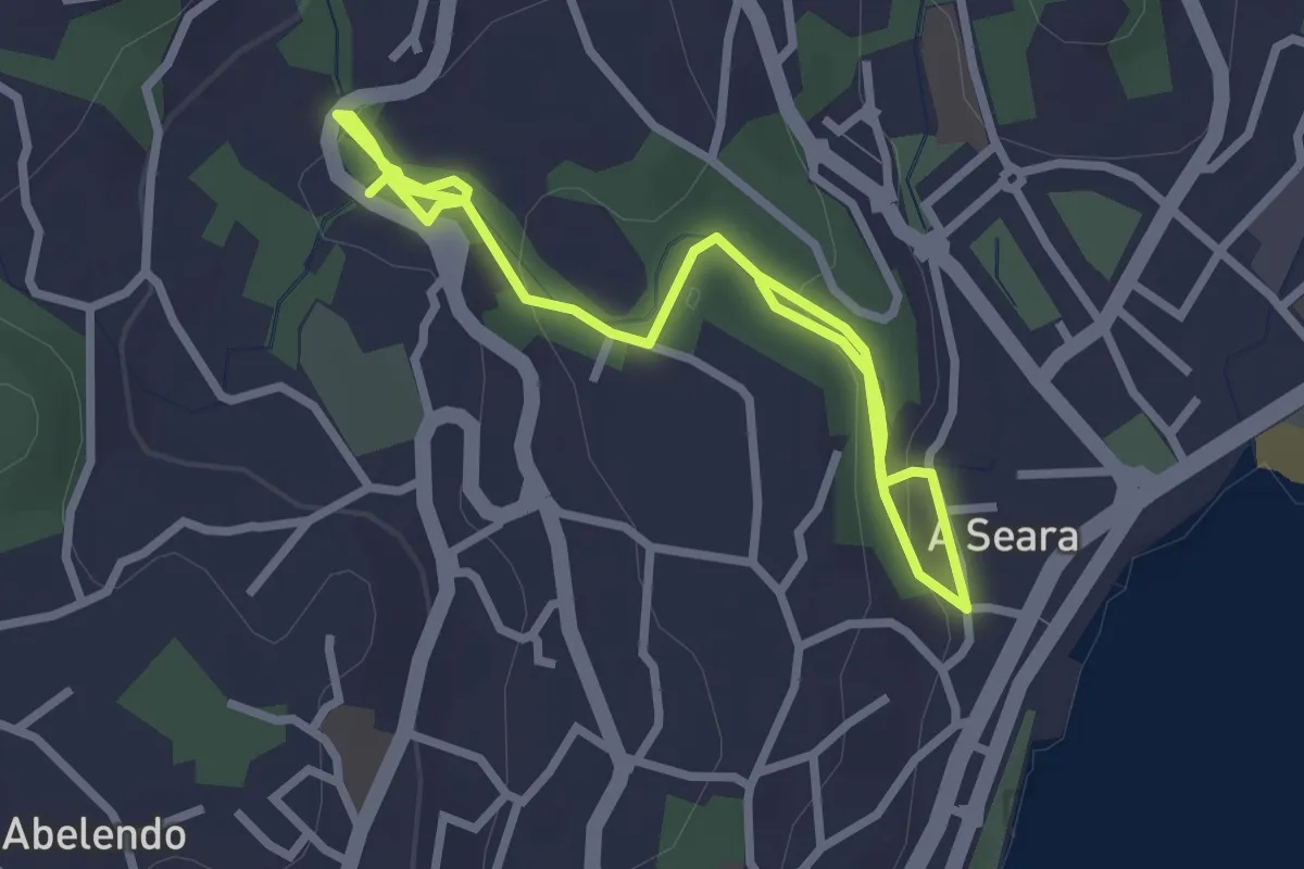
Easy · Trail
Moaña na Mochila - Sendeiro de Rialdarca
4.1 km · ↑ 128 m · 1 h 14 min · 5 km away
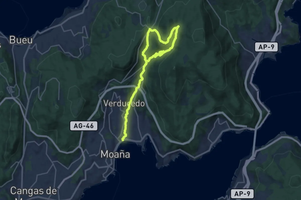
Demanding · Trail
Moaña na Mochila - Roteiro dos Muíños do Río da Fraga
22.0 km · ↑ 827 m · 6 h 59 min · 6 km away
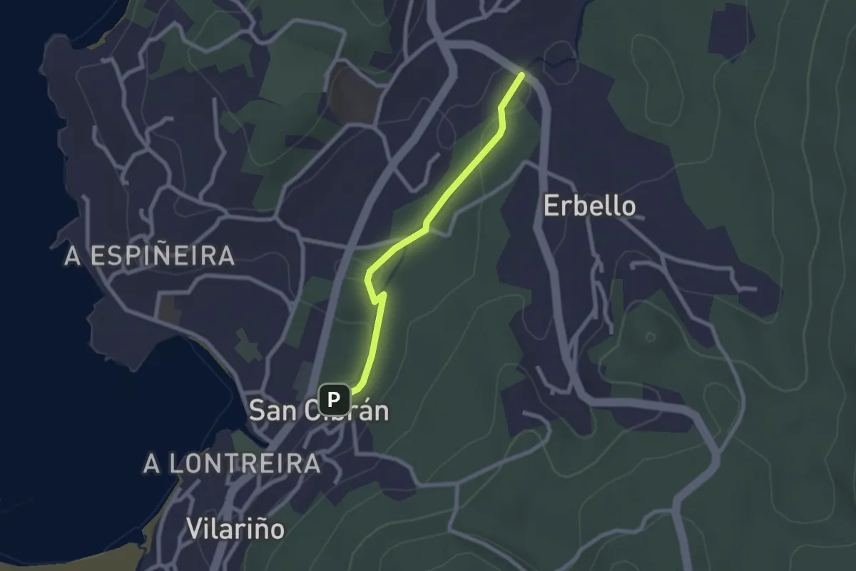
Easy · Trail
Ruta dos Muíños de Aldán e Finca do Frendoal ('Bosque Encantado')
2.2 km · ↑ 28 m · 35 min · 6 km away
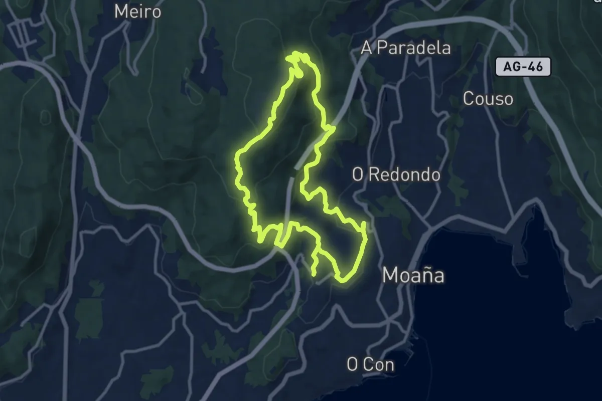
Medium · Summit
Moaña na Mochila - San Martiño-Cruz de Xestoso
10.2 km · ↑ 407 m · 3 h 25 min · 6 km away
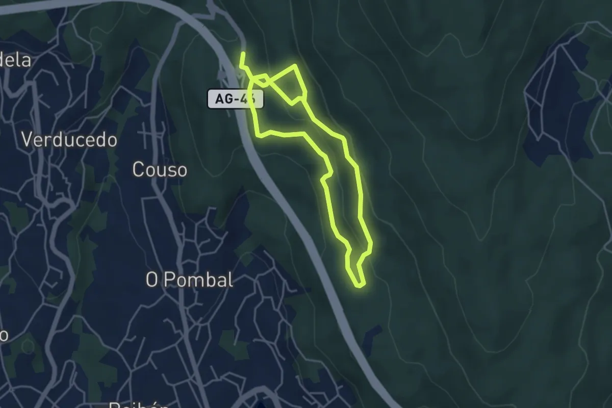
Easy · Trail
Moaña na Mochila - Petróglifos de Meira
3.7 km · ↑ 174 m · 1 h 17 min · 6 km away
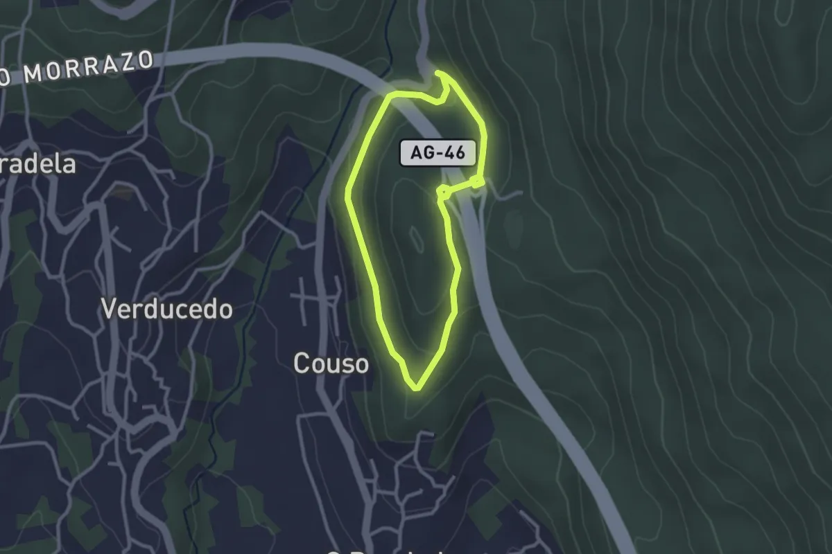
Easy · Summit
Moaña na Mochila - Torre de Meira
2.5 km · ↑ 68 m · 46 min · 6 km away
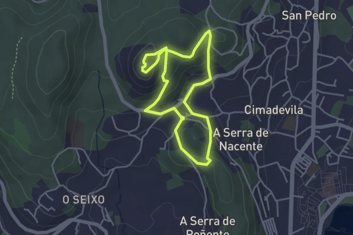
Easy · Summit
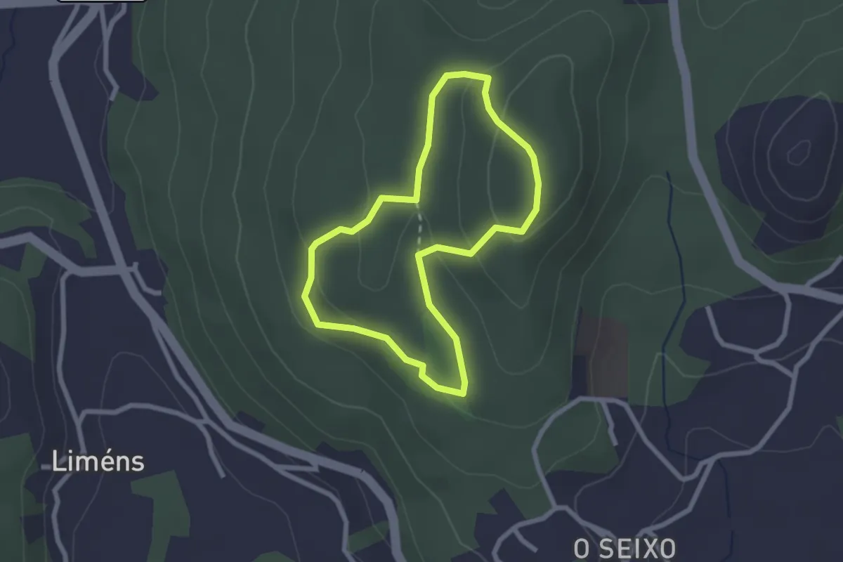
Sendeiro do Monte do Castelo
3.2 km · ↑ 127 m · 1 h 4 min · 7 km away
Easy · Summit
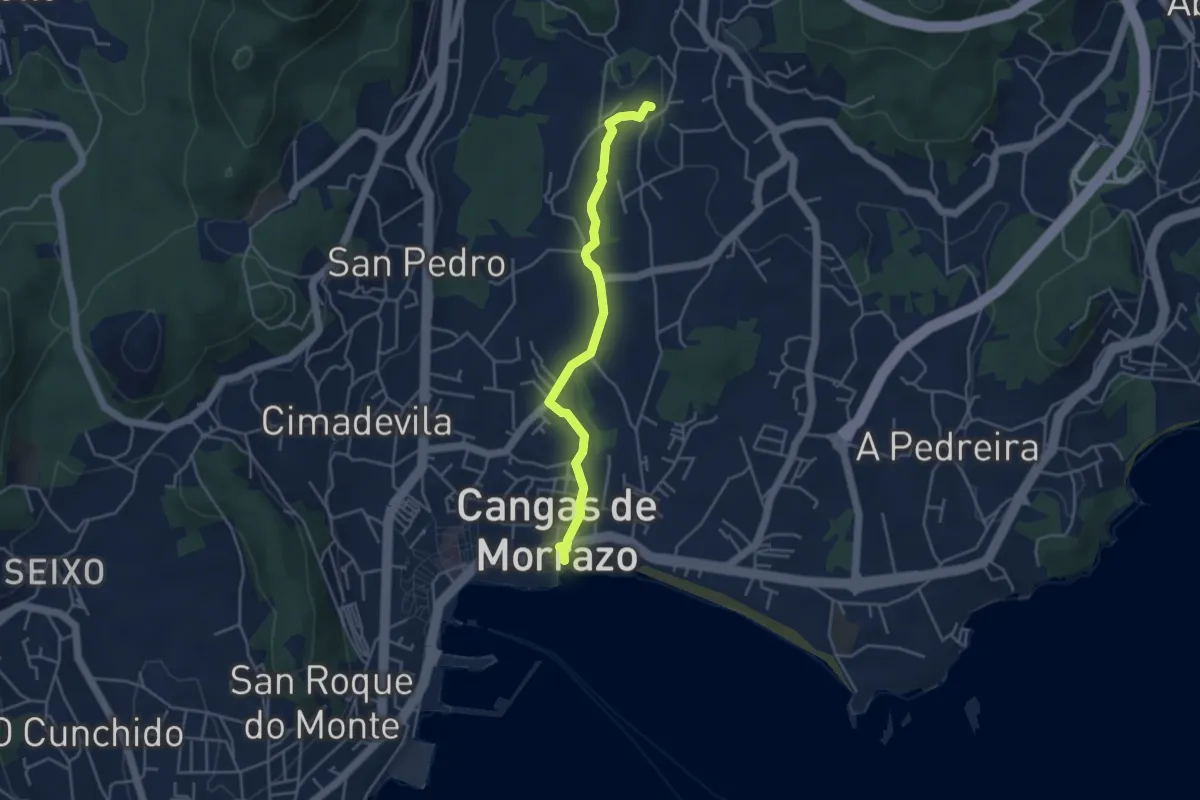
Sendeiro de Varalonga
2.2 km · ↑ 77 m · 43 min · 7 km away
Easy · Trail
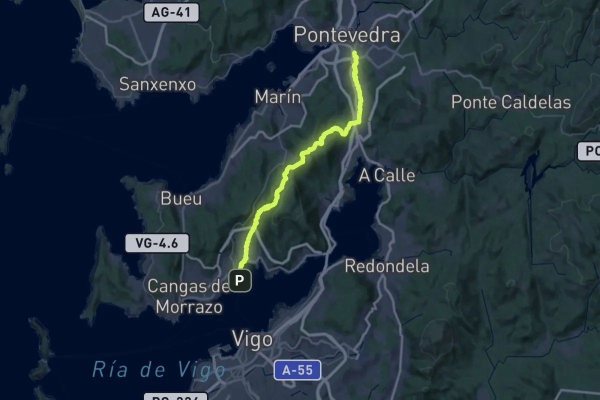
Ruta dos Muíños de Coiro
4.3 km · ↑ 37 m · 1 h 5 min · 7 km away
Demanding · Trail
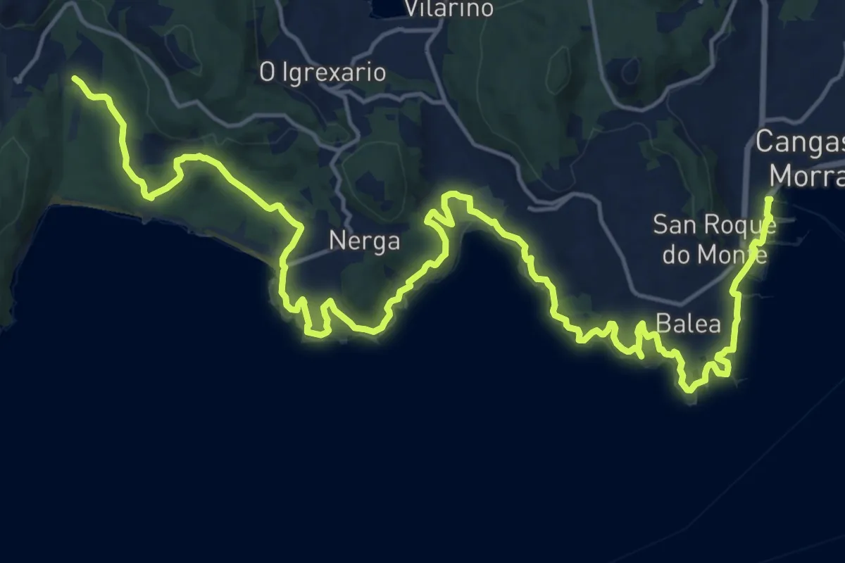
Camiño Portugués pola Costa - Moaña no Camiño
25.0 km · ↑ 592 m · 7 h 32 min · 7 km away
Demanding · Trail
Senda Costeira Cangas-Donón
26.4 km · ↑ 496 m · 7 h 18 min · 7 km away
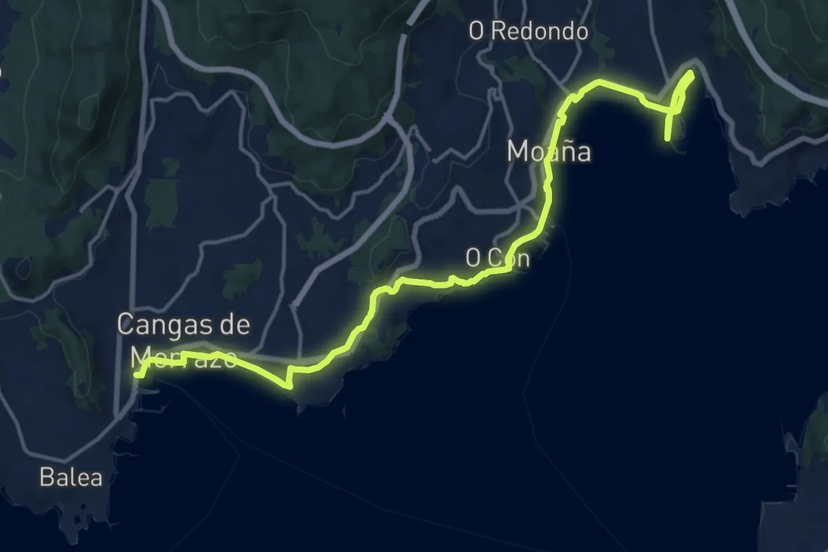
Demanding · Trail
Camiño Real Moaña - Cangas de Morrazo
18.9 km · ↑ 151 m · 4 h 47 min · 7 km away
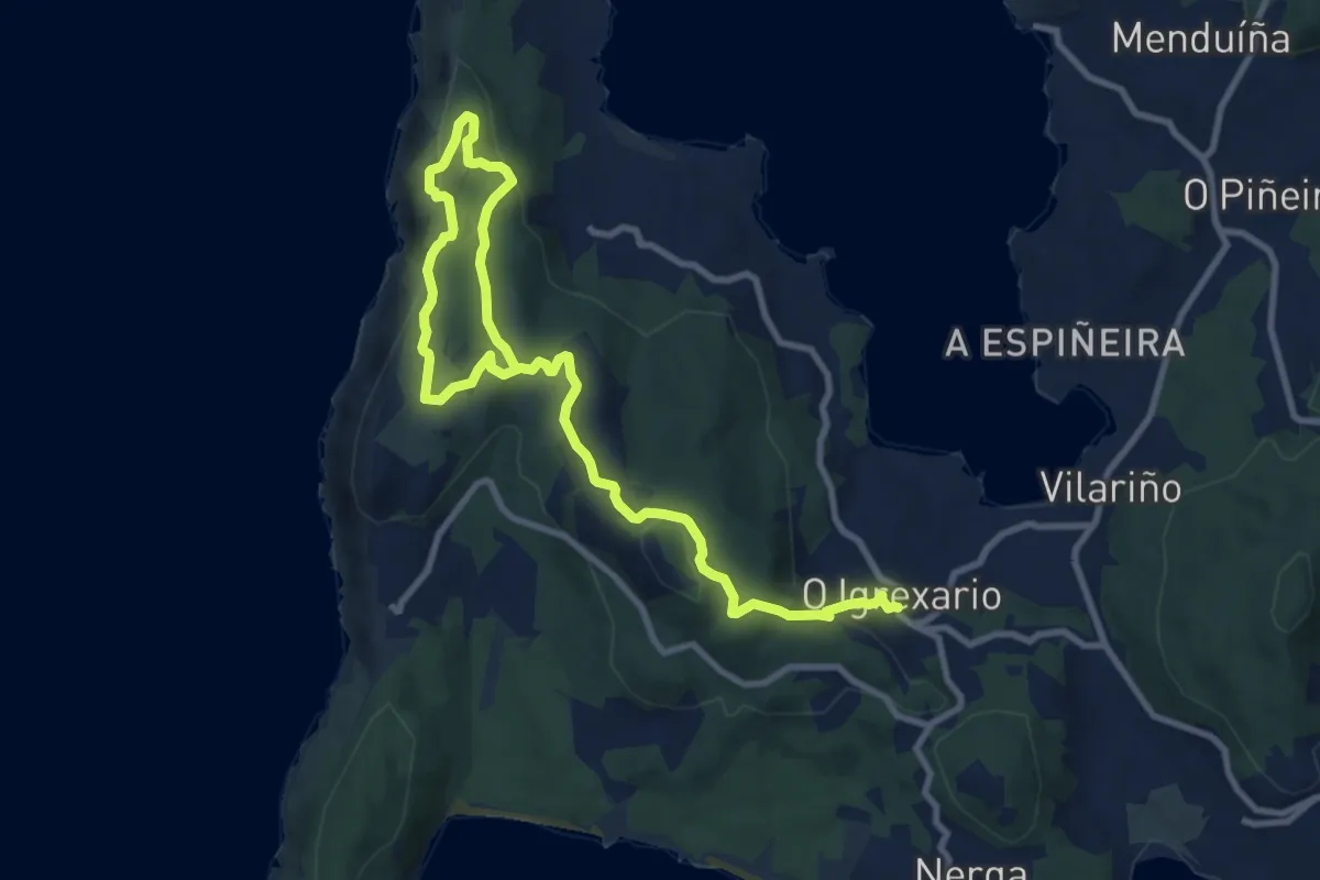
Easy · Summit
Sendero Circular de la Costa de Soavela. O Hío
6.9 km · ↑ 138 m · 2 h 5 min · 7 km away
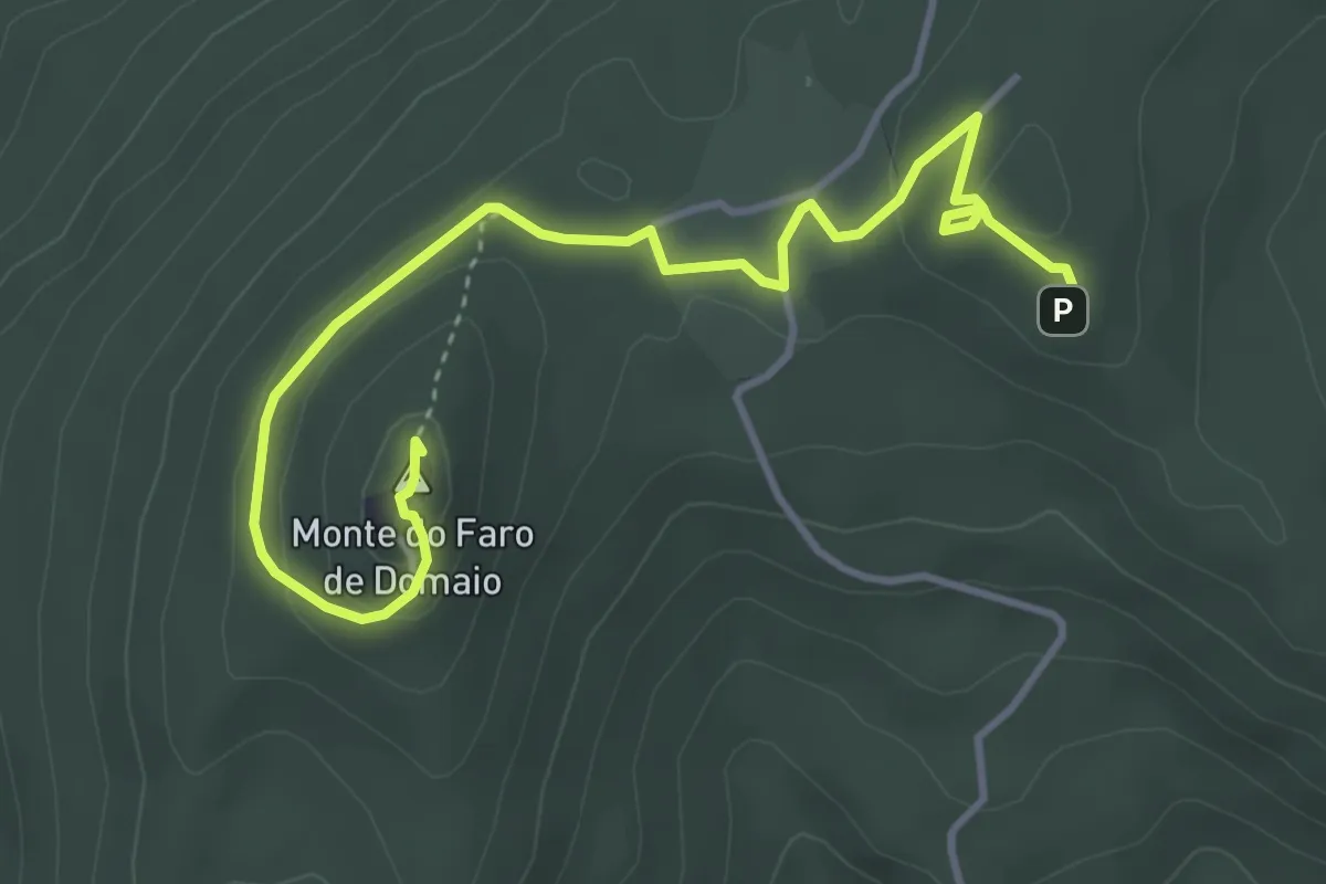
Easy · Summit
Moaña na Mochila - Miradores do Monte Faro Candóns e Chan da Arquiña
5.0 km · ↑ 127 m · 1 h 28 min · 8 km away
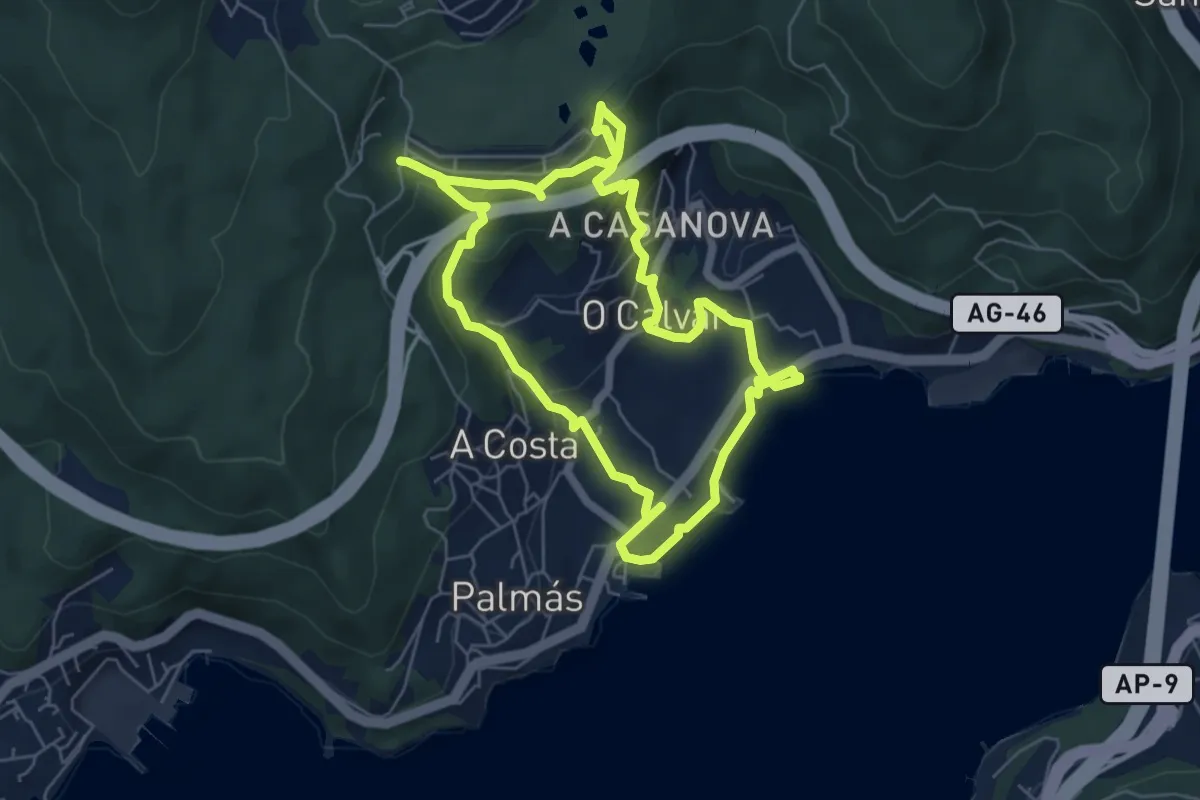
Easy · Trail
Moaña na Mochila - Pazo da Moura/Ruta do Rio Freixa e da Miñouba
6.2 km · ↑ 236 m · 2 h 3 min · 8 km away
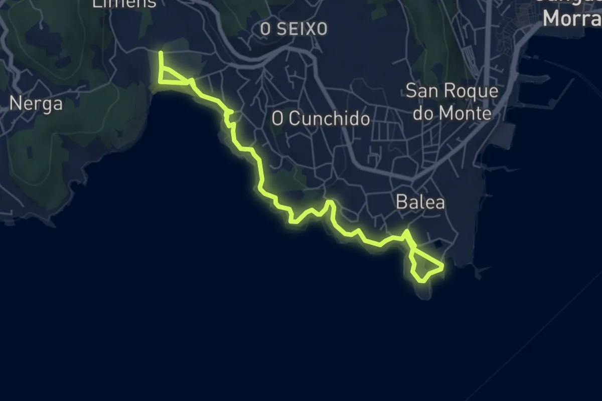
Medium · Trail
Senda litoral de Liméns-Areamilla
8.8 km · ↑ 167 m · 2 h 26 min · 9 km away
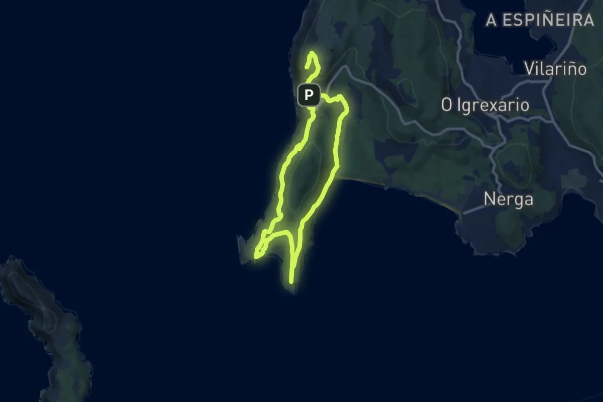
Medium · Summit
Roteiro de Donón - Sendeiro Azul
8.8 km · ↑ 286 m · 2 h 47 min · 9 km away
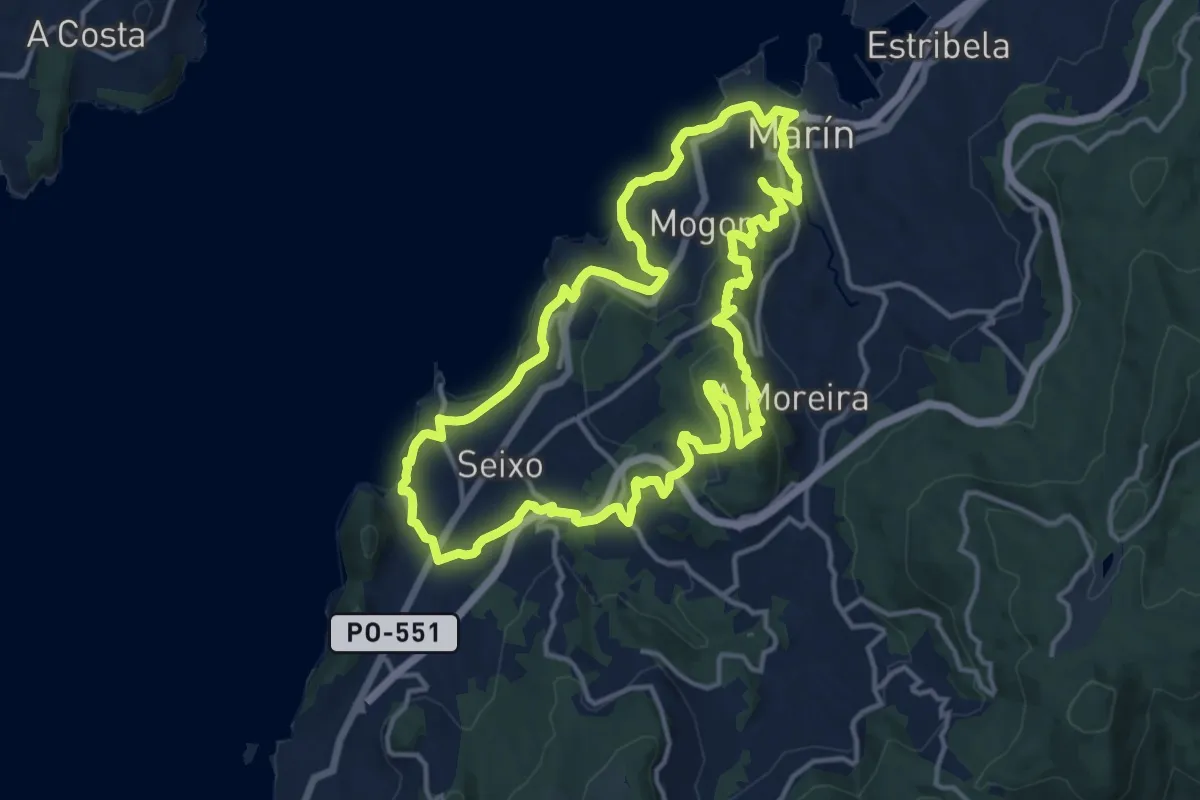
Medium · Trail
Montes e Praias - corta (Sendeiro Azul)
15.5 km · ↑ 425 m · 4 h 48 min · 10 km away
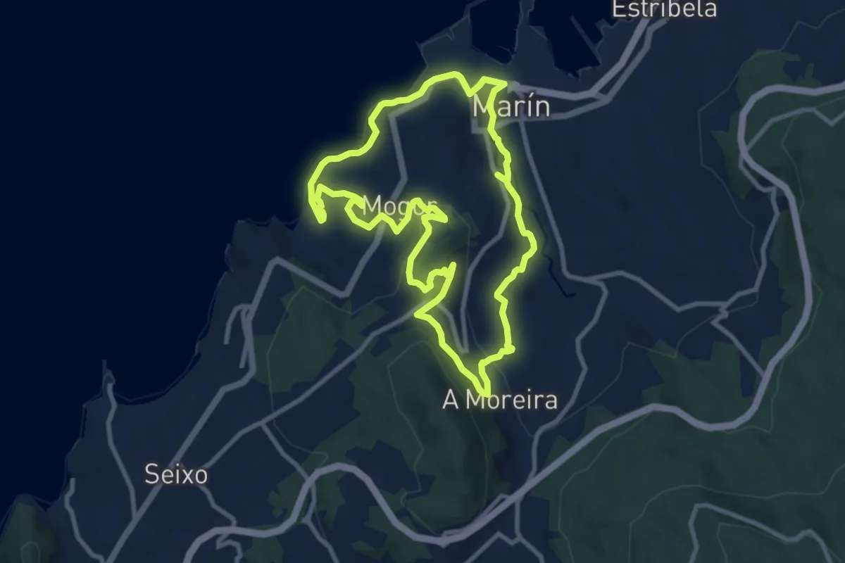
Medium · Trail
Roteiro dos Cinco Miradoiros
8.9 km · ↑ 256 m · 2 h 47 min · 10 km away
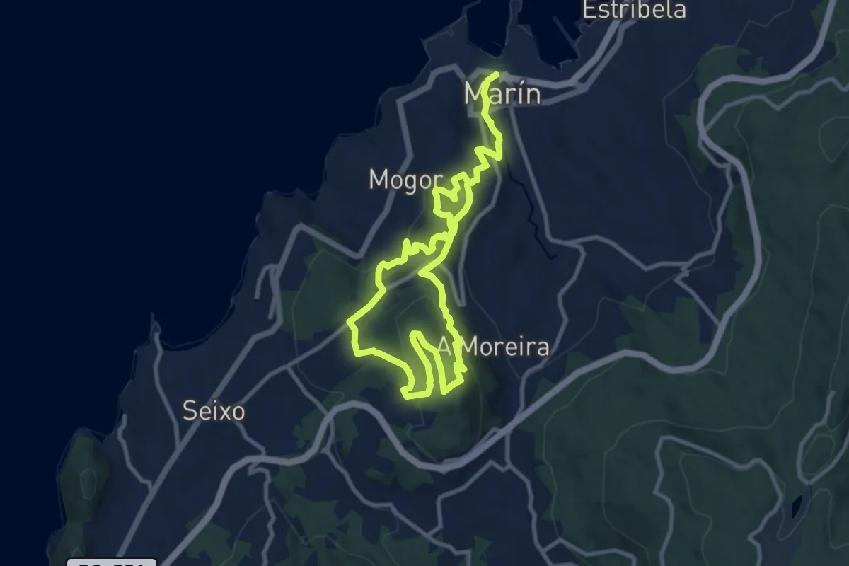
Medium · Trail
Ruta Monte Penizas
8.3 km · ↑ 329 m · 2 h 45 min · 10 km away
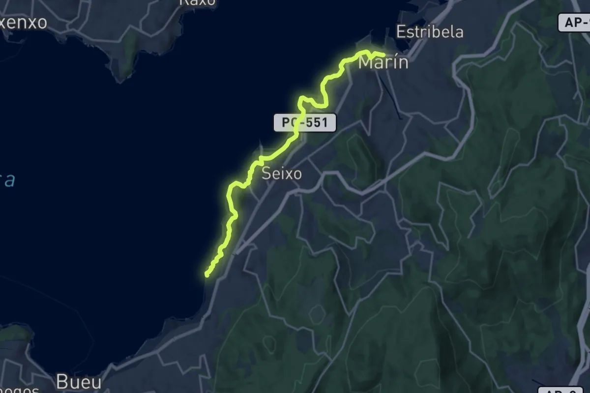
Medium · Trail
Ruta das Praias (Sendeiro Azul)
8.6 km · ↑ 231 m · 2 h 40 min · 10 km away
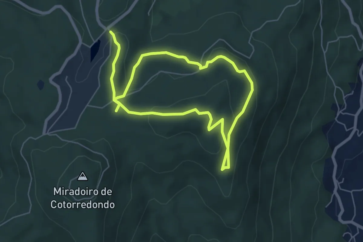
Easy · Trail
Roteiro das Mámoas
4.7 km · ↑ 181 m · 1 h 33 min · 10 km away
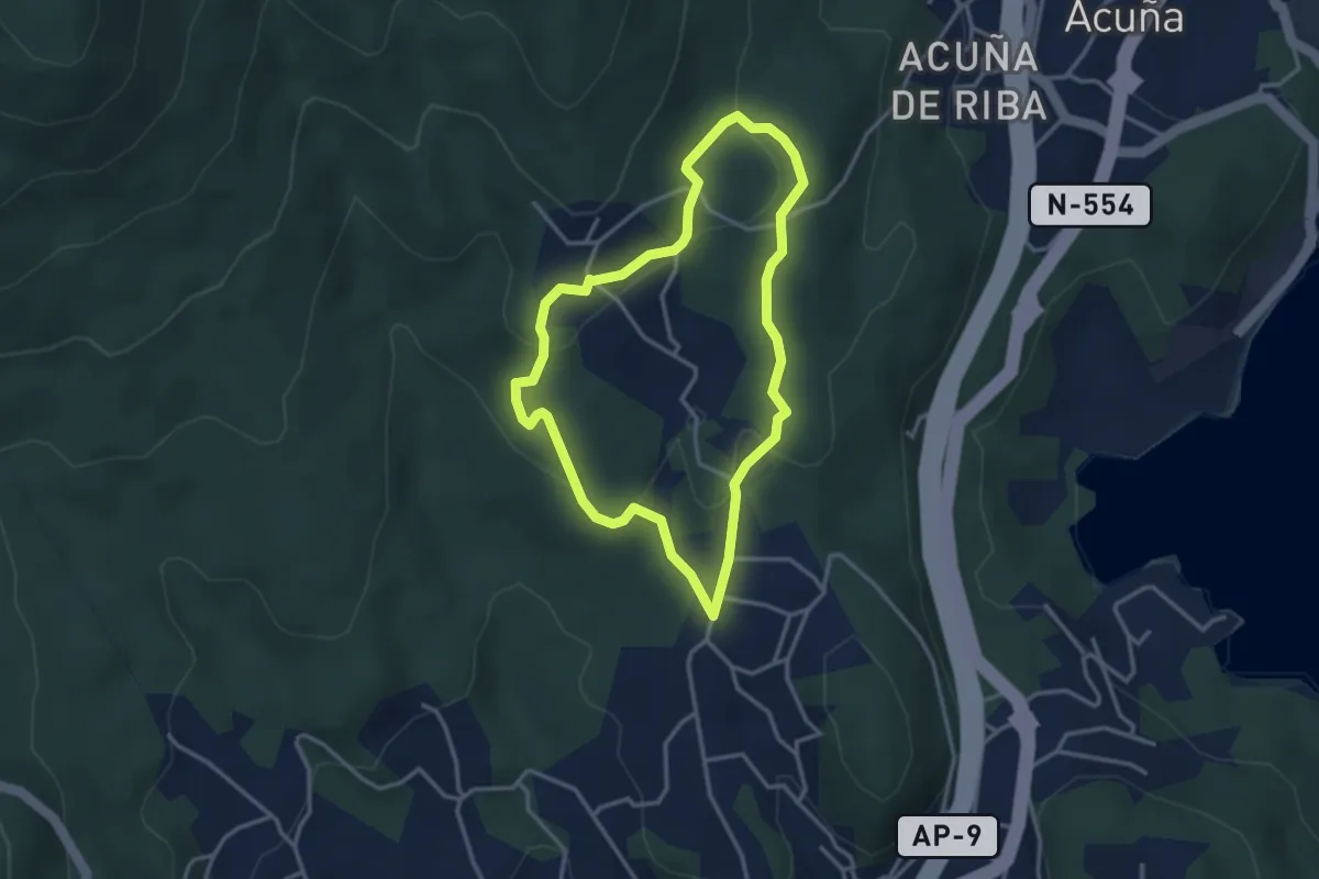
Easy · Trail
Sendeiro dos Petroglifos dos Cobres
3.3 km · ↑ 101 m · 1 h 3 min · 11 km away
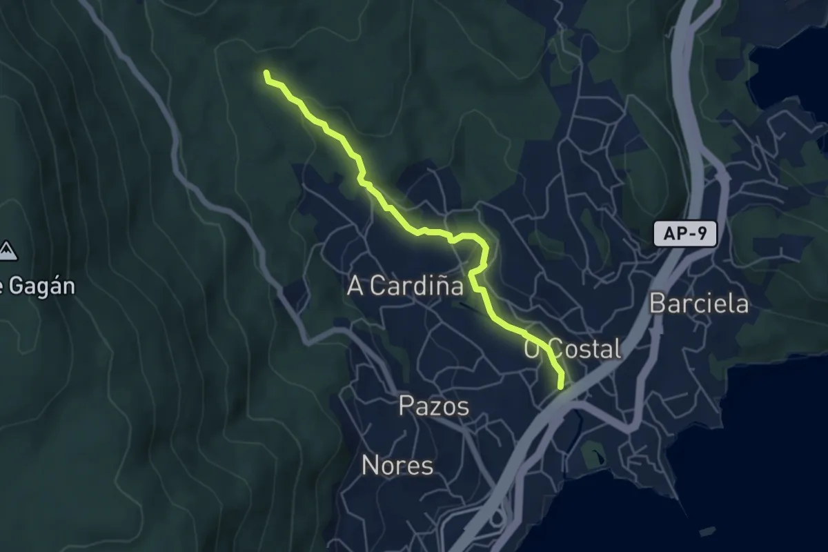
Easy · Trail
Sendeiro dos Muíños de Riomaior
5.0 km · ↑ 161 m · 1 h 32 min · 11 km away
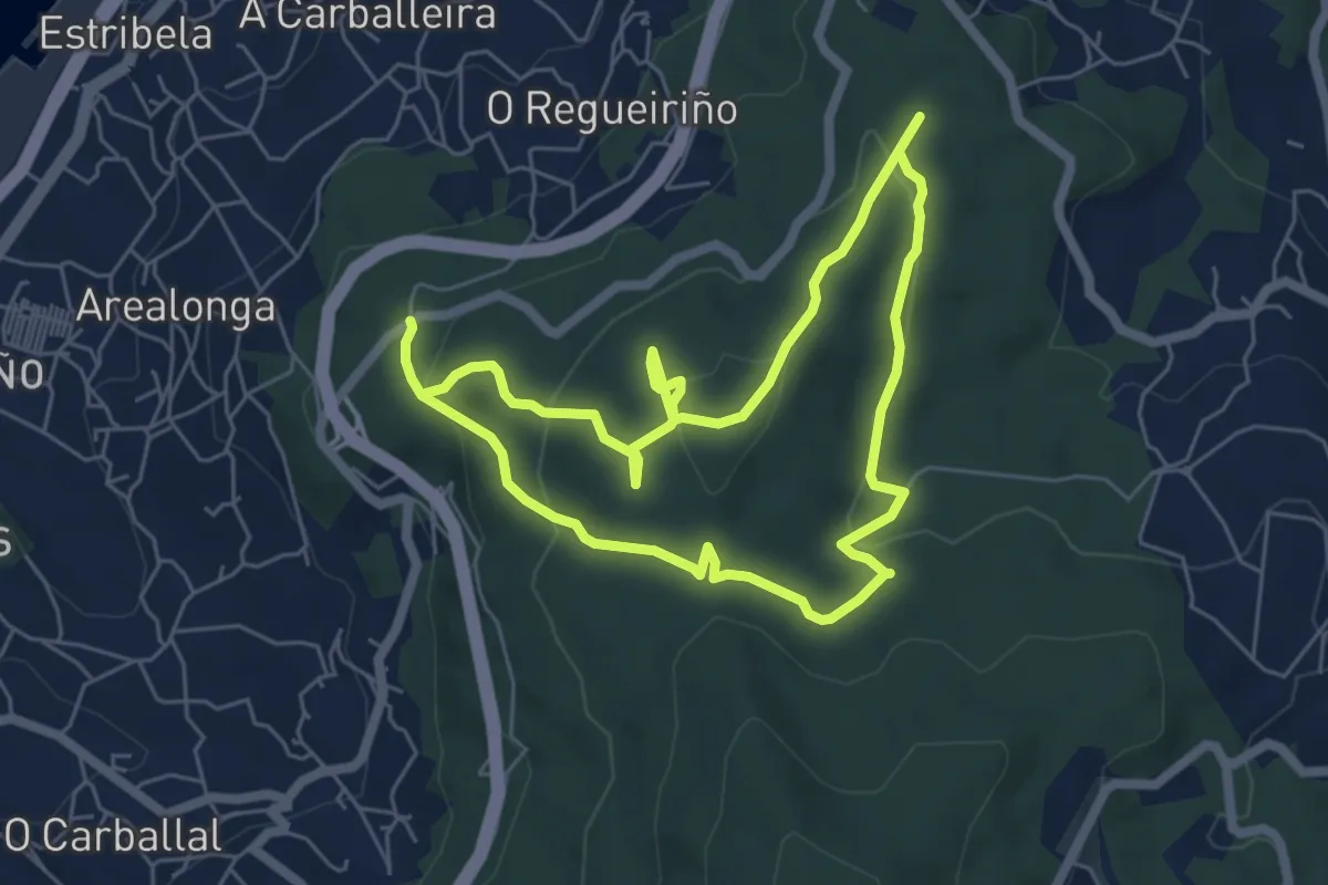
Easy · Trail
Ruta dos Sete Camiños
6.0 km · ↑ 191 m · 1 h 54 min · 11 km away
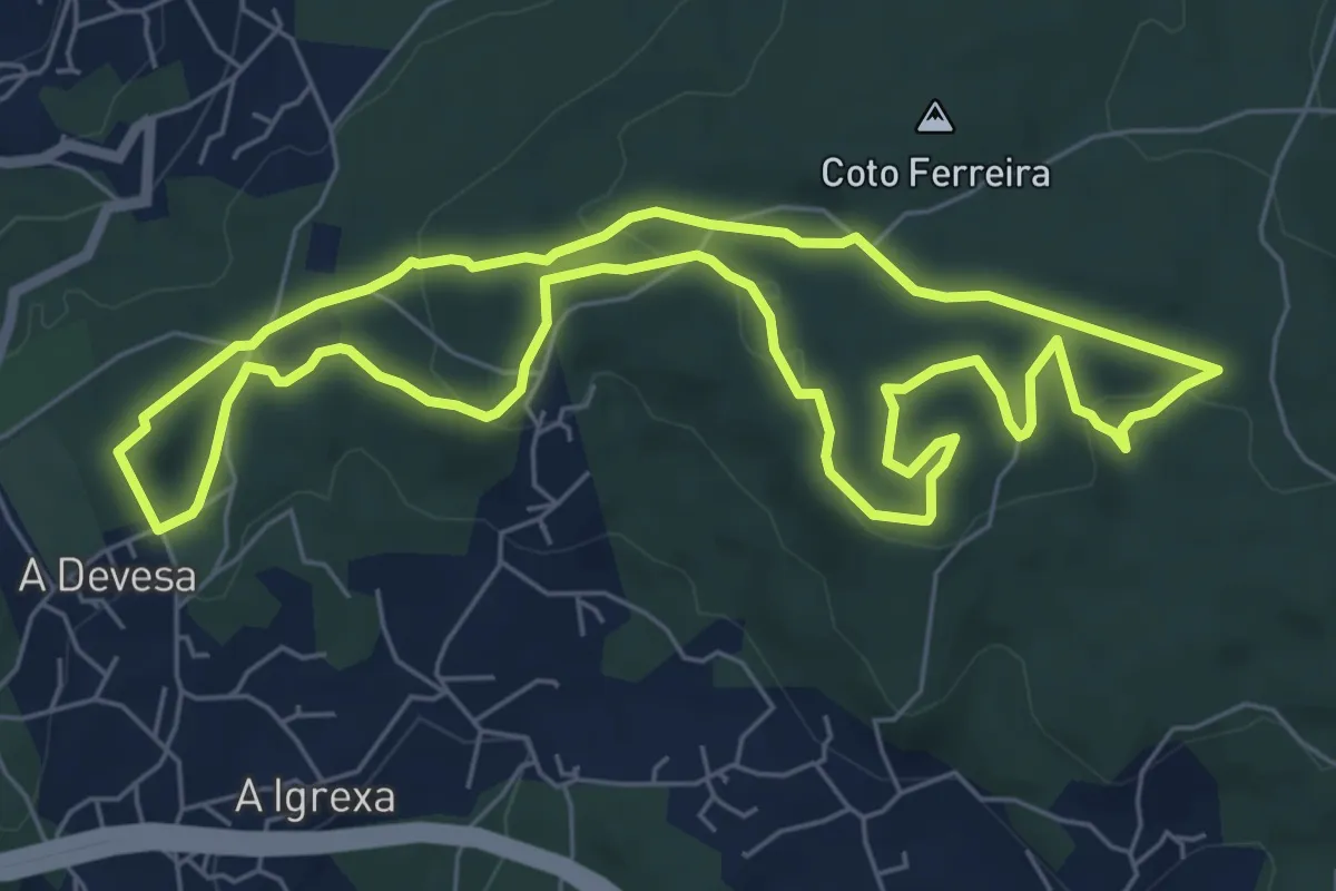
Easy · Trail
Sendeiro Local de Candeán
7.2 km · ↑ 176 m · 2 h 11 min · 13 km away
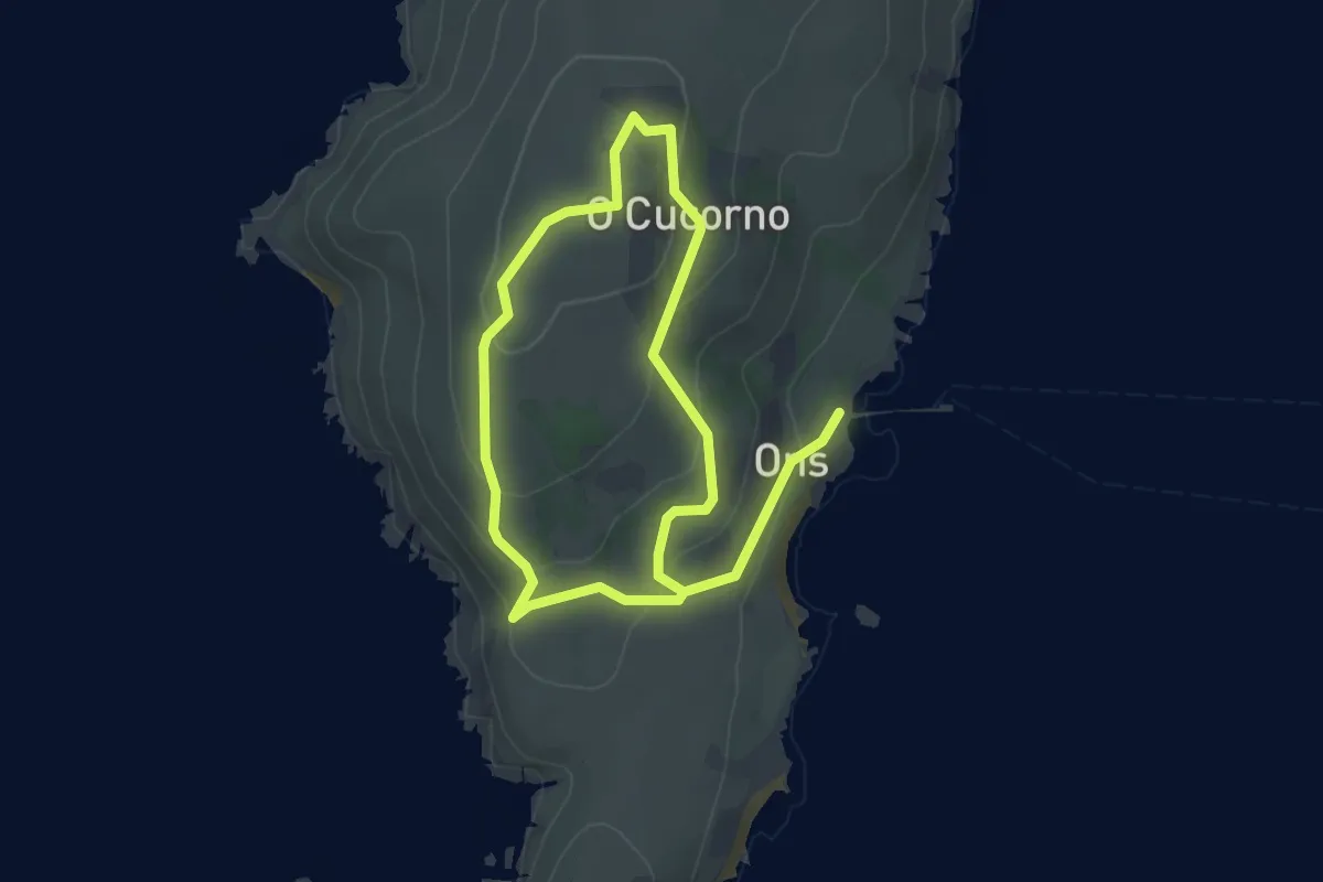
Easy · Trail
Ruta do Faro
3.2 km · ↑ 124 m · 1 h 3 min · 13 km away
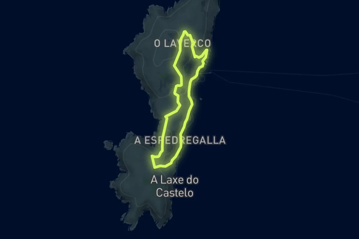
Easy · Summit
Ruta Arquelóxico de Ons
5.5 km · ↑ 140 m · 1 h 41 min · 13 km away
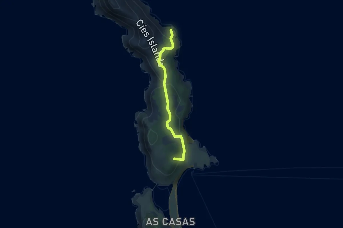
Easy · Summit
Roteiro Illas Cíes 4: O Monteagudo
4.3 km · ↑ 220 m · 1 h 30 min · 13 km away
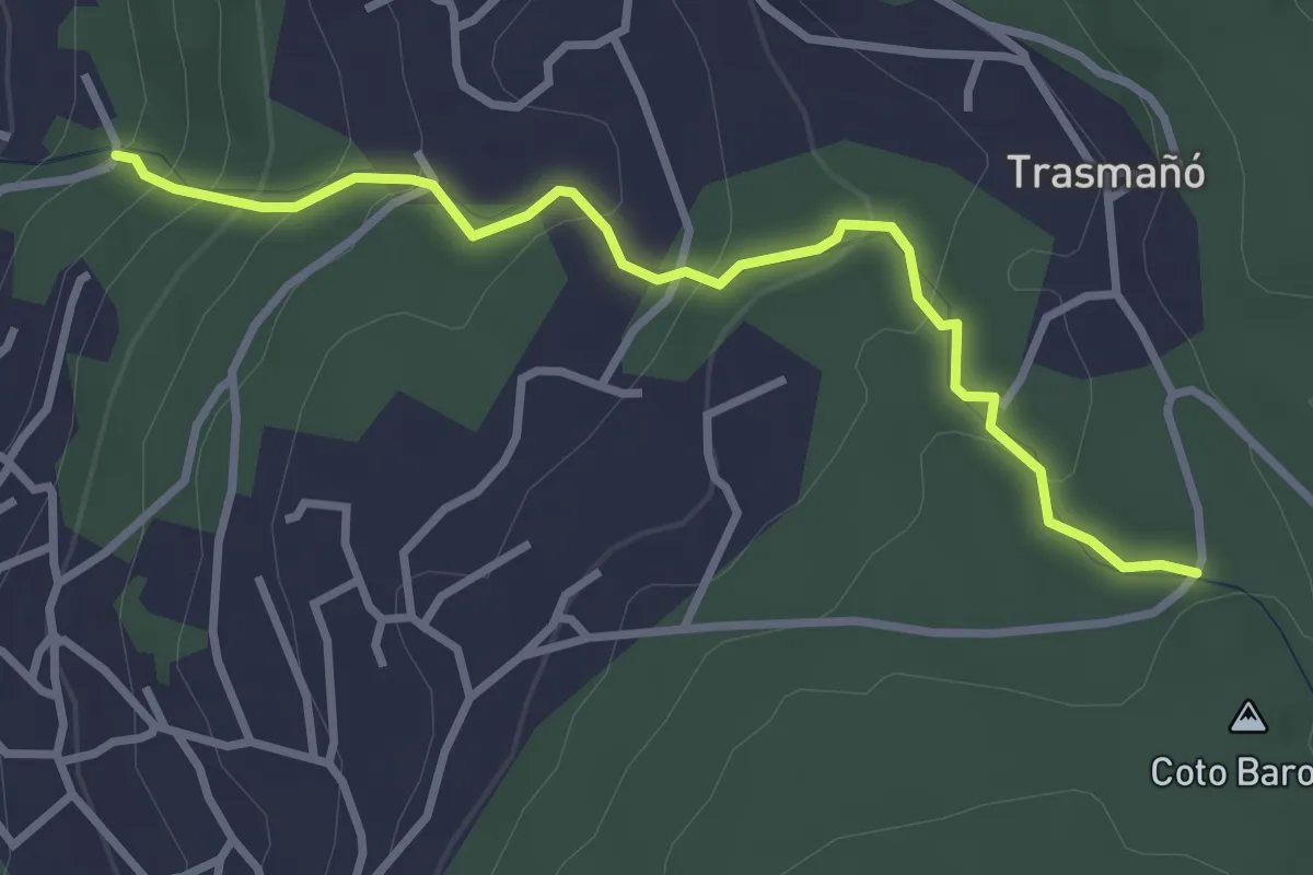
Easy · Trail
Camiño dos Muíños do Rego Fondón
3.5 km · ↑ 215 m · 1 h 17 min · 14 km away
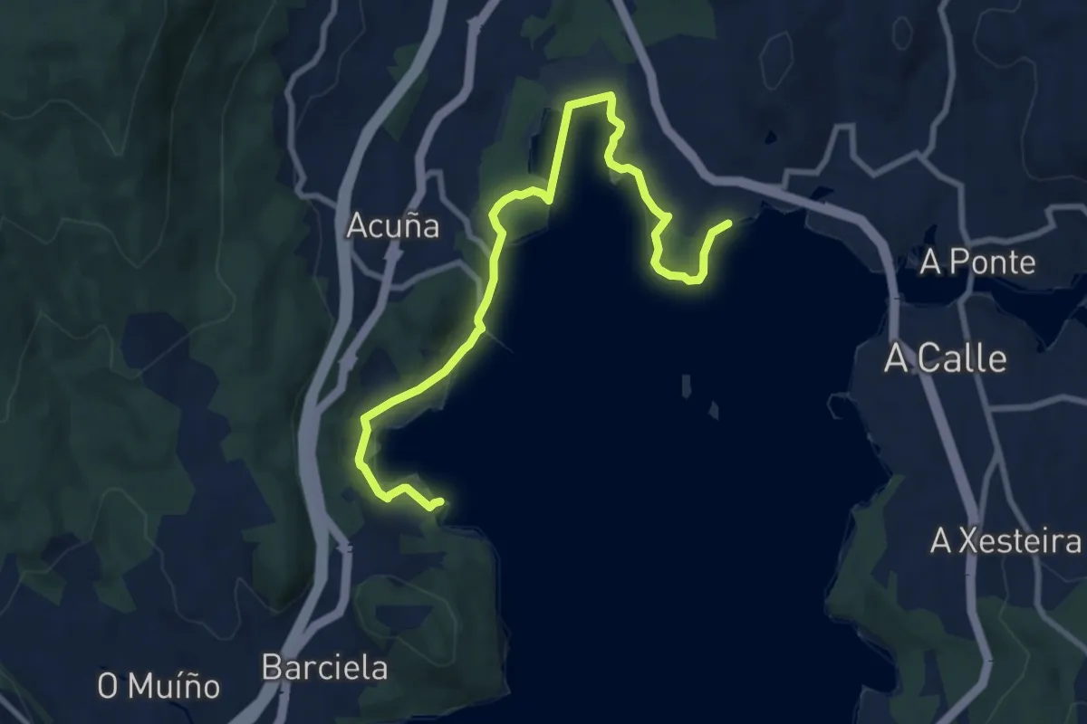
Medium · Trail
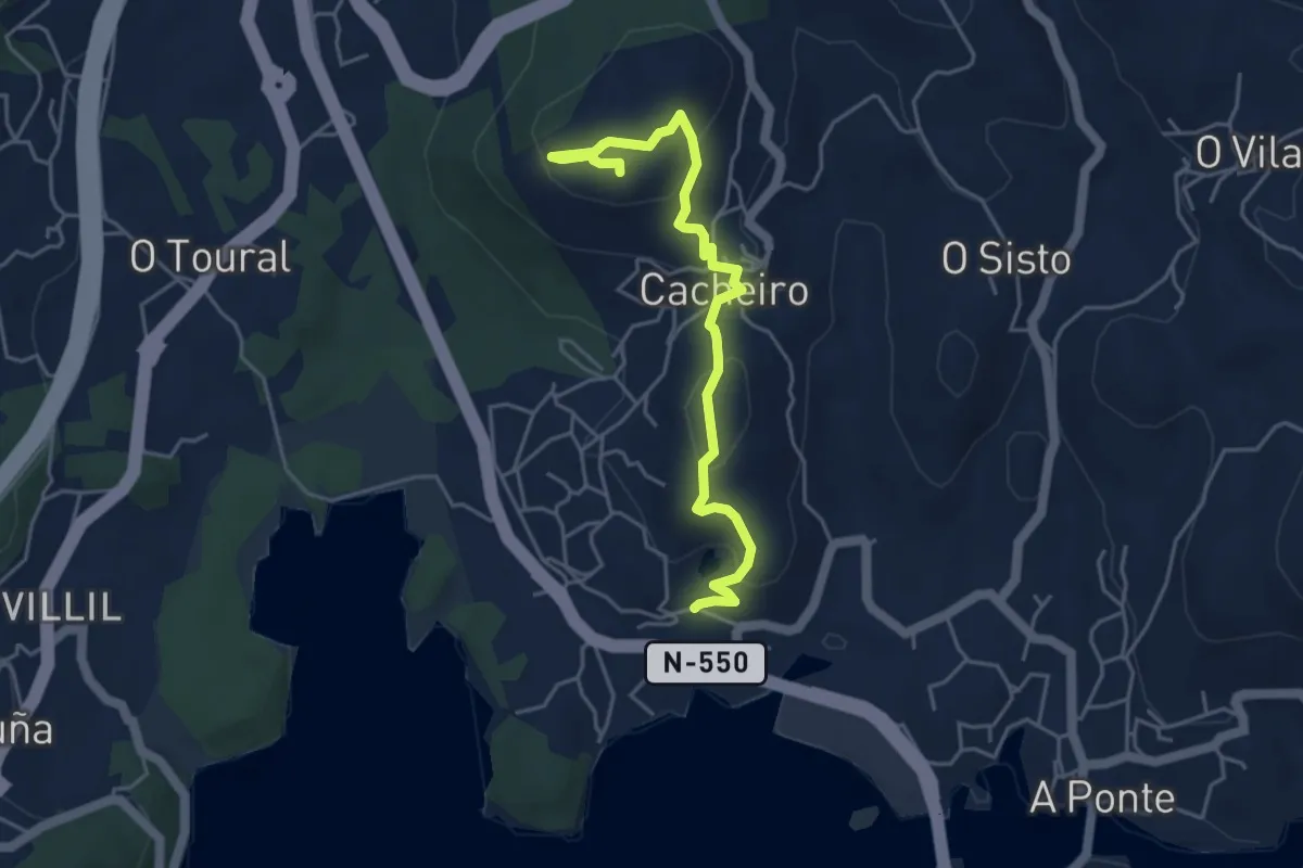
Sendeiro de Croa
10.2 km · ↑ 135 m · 2 h 42 min · 14 km away
Easy · Trail
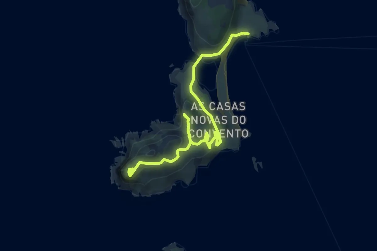
Sendeiro de Pedra Miranda
5.2 km · ↑ 188 m · 1 h 38 min · 14 km away
Medium · Summit
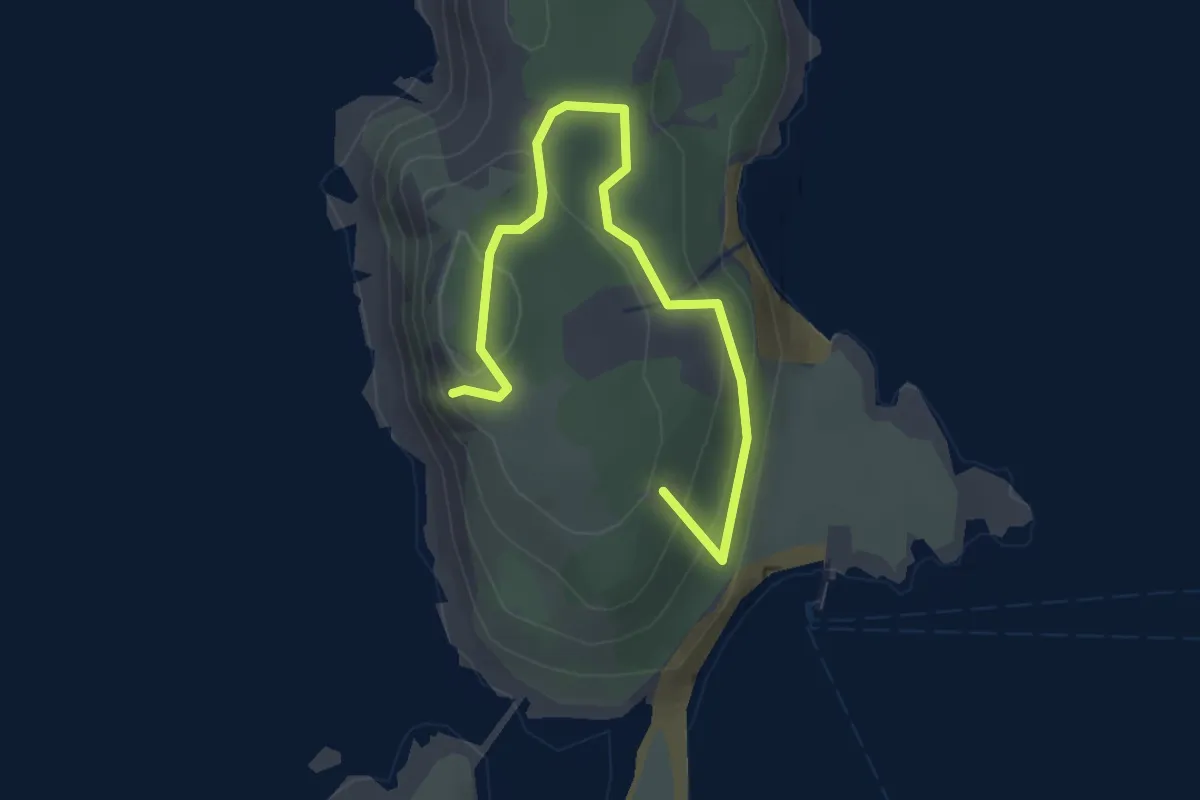
Roteiro Illas Cíes 1: O Monte Faro
8.4 km · ↑ 316 m · 2 h 41 min · 15 km away
Easy · Summit
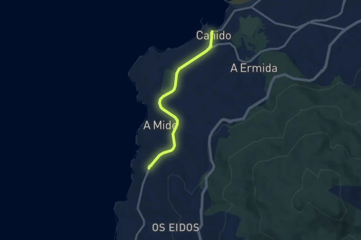
Roteiro Illas Cíes 3: O Alto do Príncipe
3.5 km · ↑ 180 m · 1 h 12 min · 15 km away
Easy · Pilgrim path
Camiño Portugués da Costa (Litoral)
3.0 km · ↑ 52 m · 51 min · 15 km away