Trails near Canet de Mar
32 hikes starting within 15 km, nearest first.
Nearest first
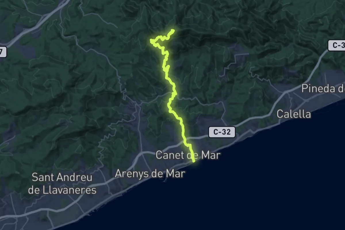
Demanding · Summit
Canet de Mar-Coll de Basses
28.2 km · ↑ 1309 m · 9 h 29 min · 1 km away
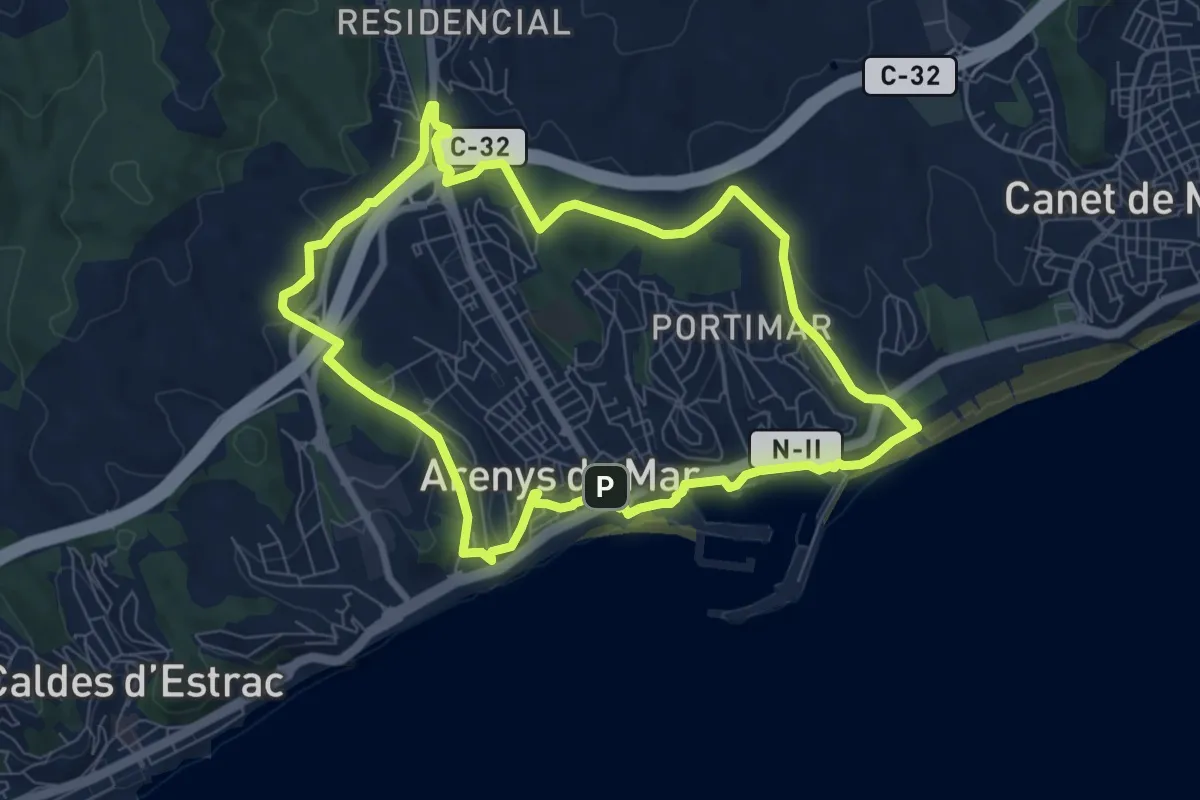
Medium · Trail
Itinerari de Natura pels Rials d'Arenys de Mar
8.3 km · ↑ 173 m · 2 h 28 min · 2 km away
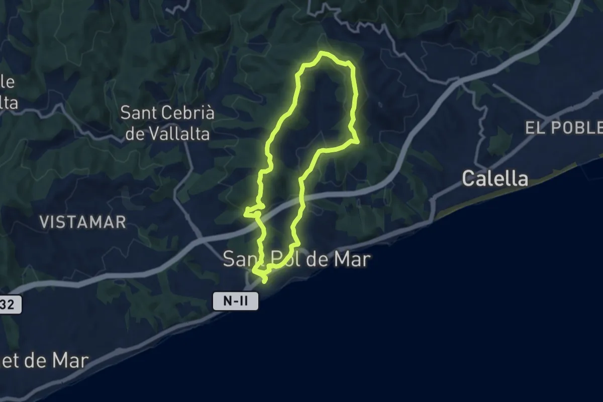
Medium · Summit
Ruta dels turons
9.5 km · ↑ 307 m · 3 h 2 min · 4 km away
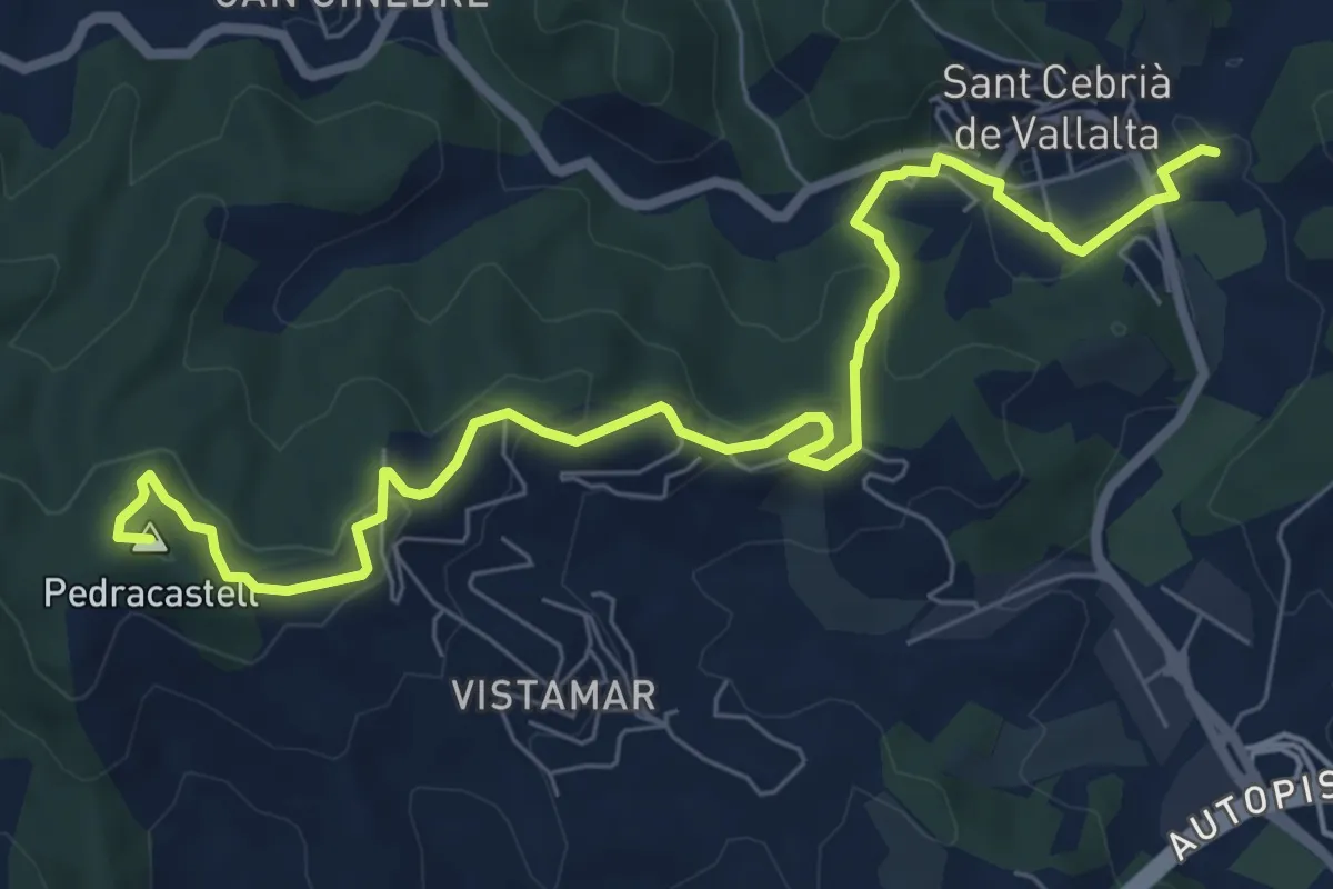
Medium · Summit
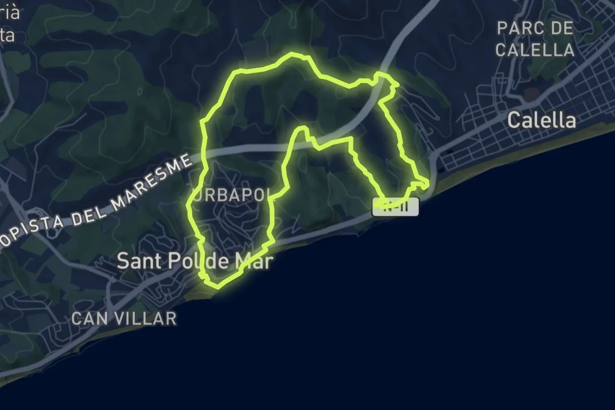
Sant Cebrià de Vallalta-Arenys de Mar
9.2 km · ↑ 311 m · 2 h 51 min · 4 km away
Medium · Summit
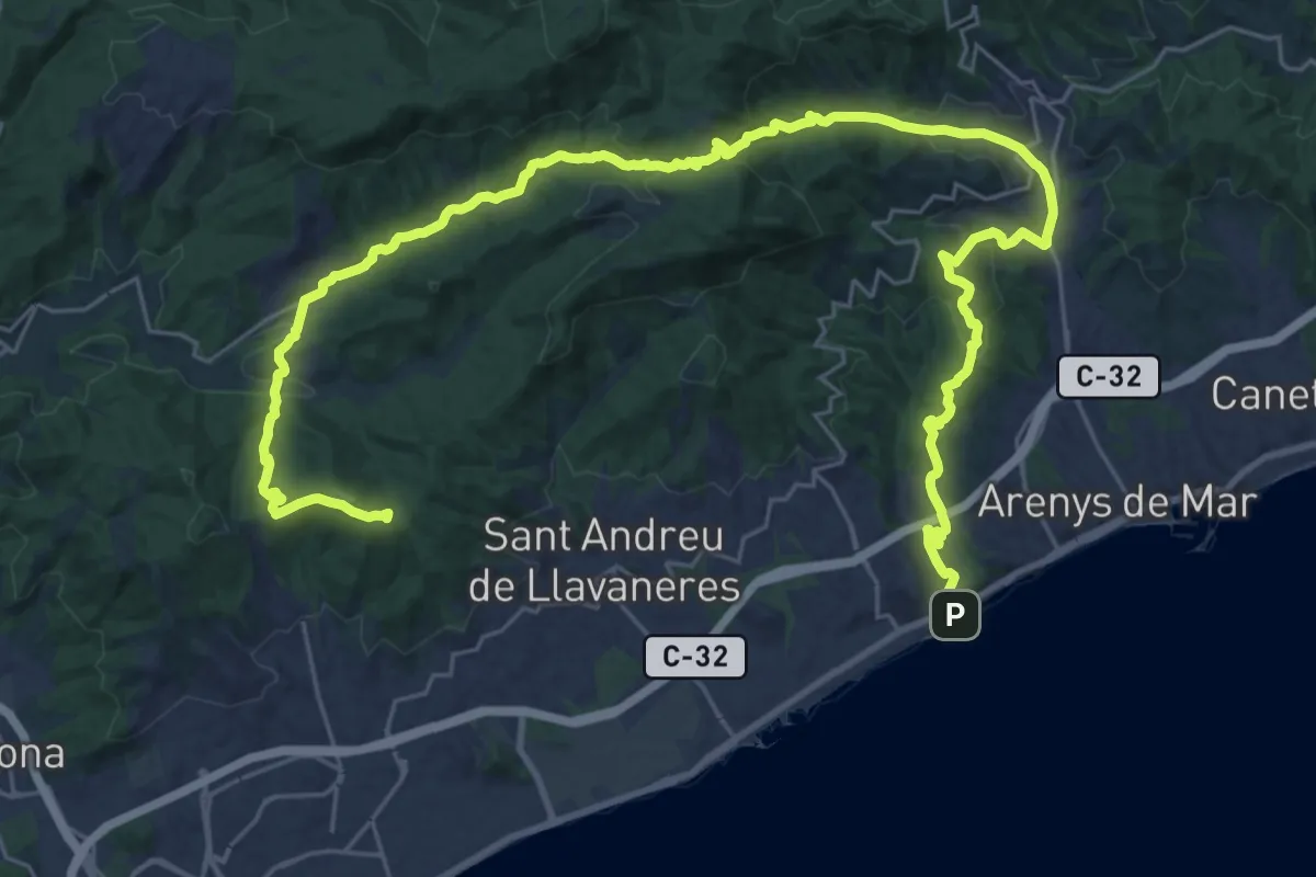
Ruta de les Torretes
8.3 km · ↑ 273 m · 2 h 39 min · 4 km away
Demanding · Summit
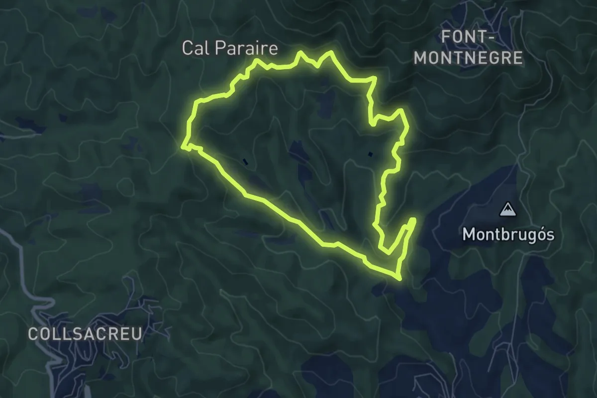
Caldes-Arenys de Munt-Dosrius
42.9 km · ↑ 1299 m · 12 h 57 min · 5 km away
Medium · Trail
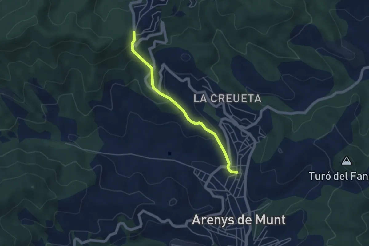
El Pla de Forcs
7.7 km · ↑ 333 m · 2 h 39 min · 6 km away
Easy · Trail
De Collsacreu a Arenys de Munt
3.9 km · ↑ 218 m · 1 h 24 min · 6 km away
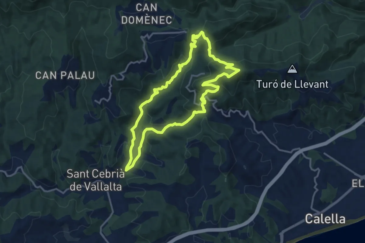
Medium · Summit
Sant Cebrià de Vallalta
10.2 km · ↑ 440 m · 3 h 30 min · 7 km away
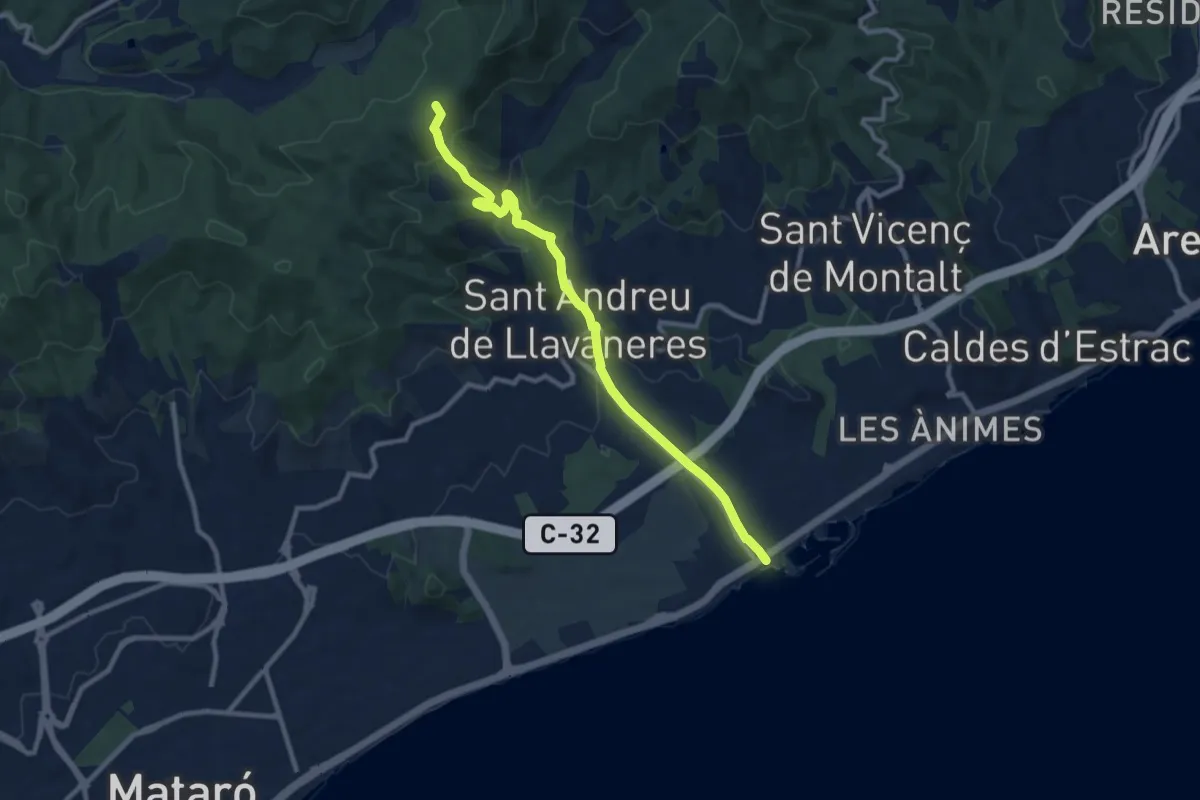
Medium · Trail
Sant Andreu de Llavaneres
10.6 km · ↑ 374 m · 3 h 19 min · 7 km away
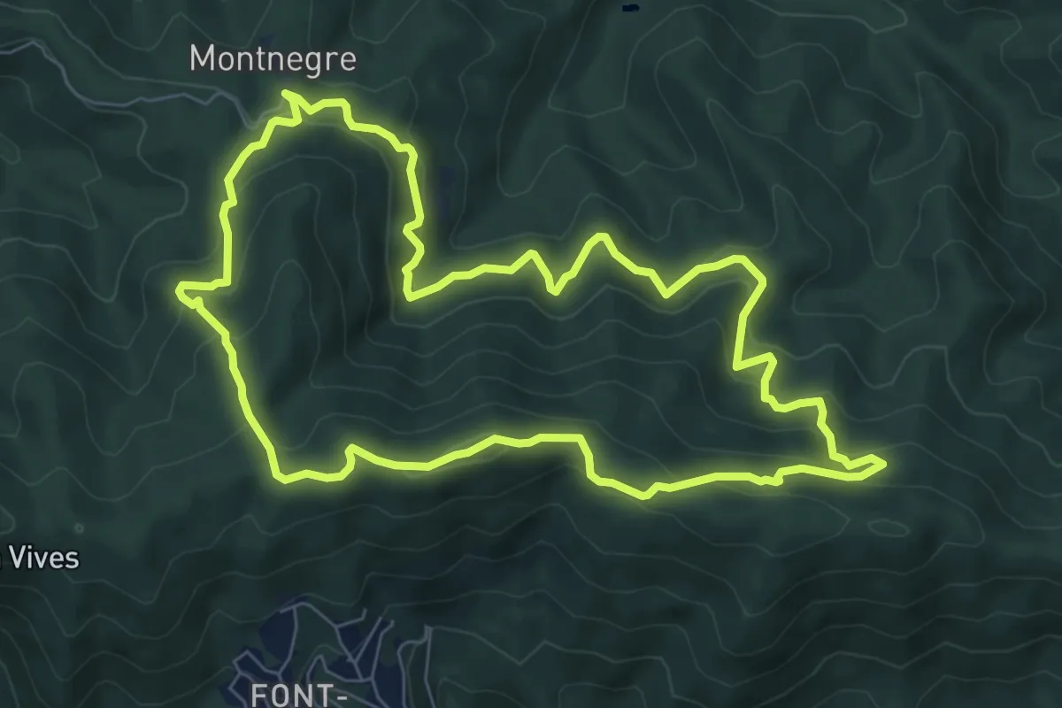
Medium · Summit
Montnegre carener
8.1 km · ↑ 528 m · 3 h 11 min · 8 km away
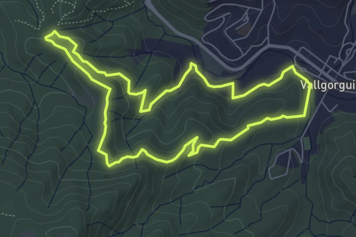
Easy · Trail
El dolmen de Pedra Gentil
6.2 km · ↑ 184 m · 1 h 58 min · 8 km away
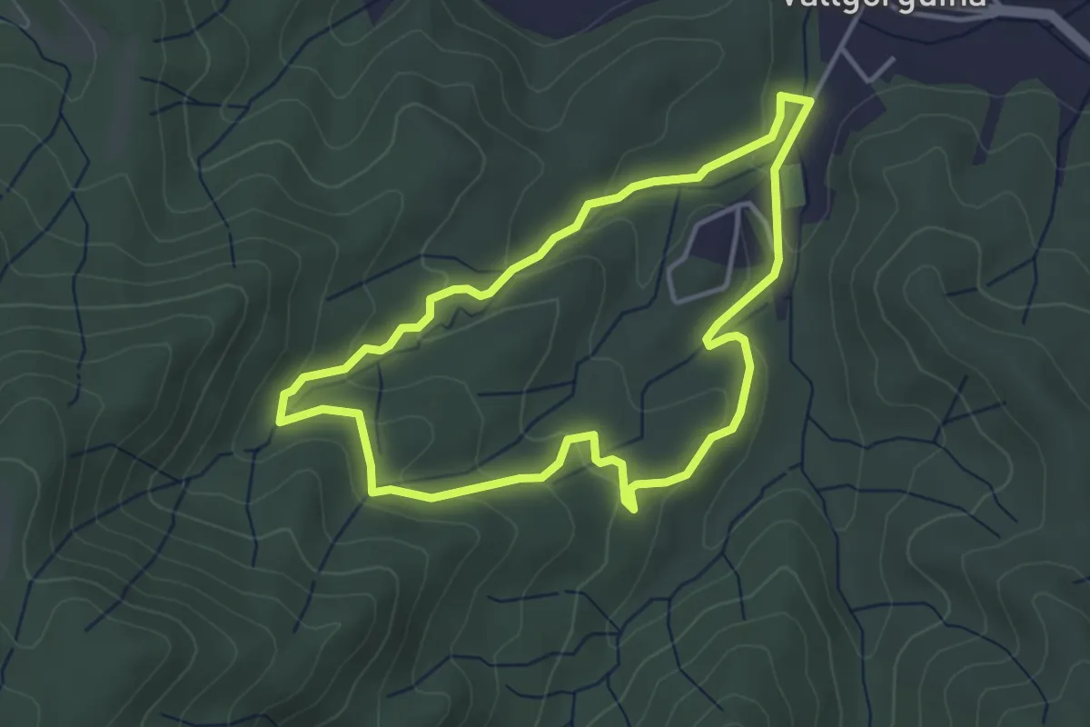
Easy · Trail
Can Vilar i el sot de Can Montasell
3.9 km · ↑ 131 m · 1 h 15 min · 9 km away
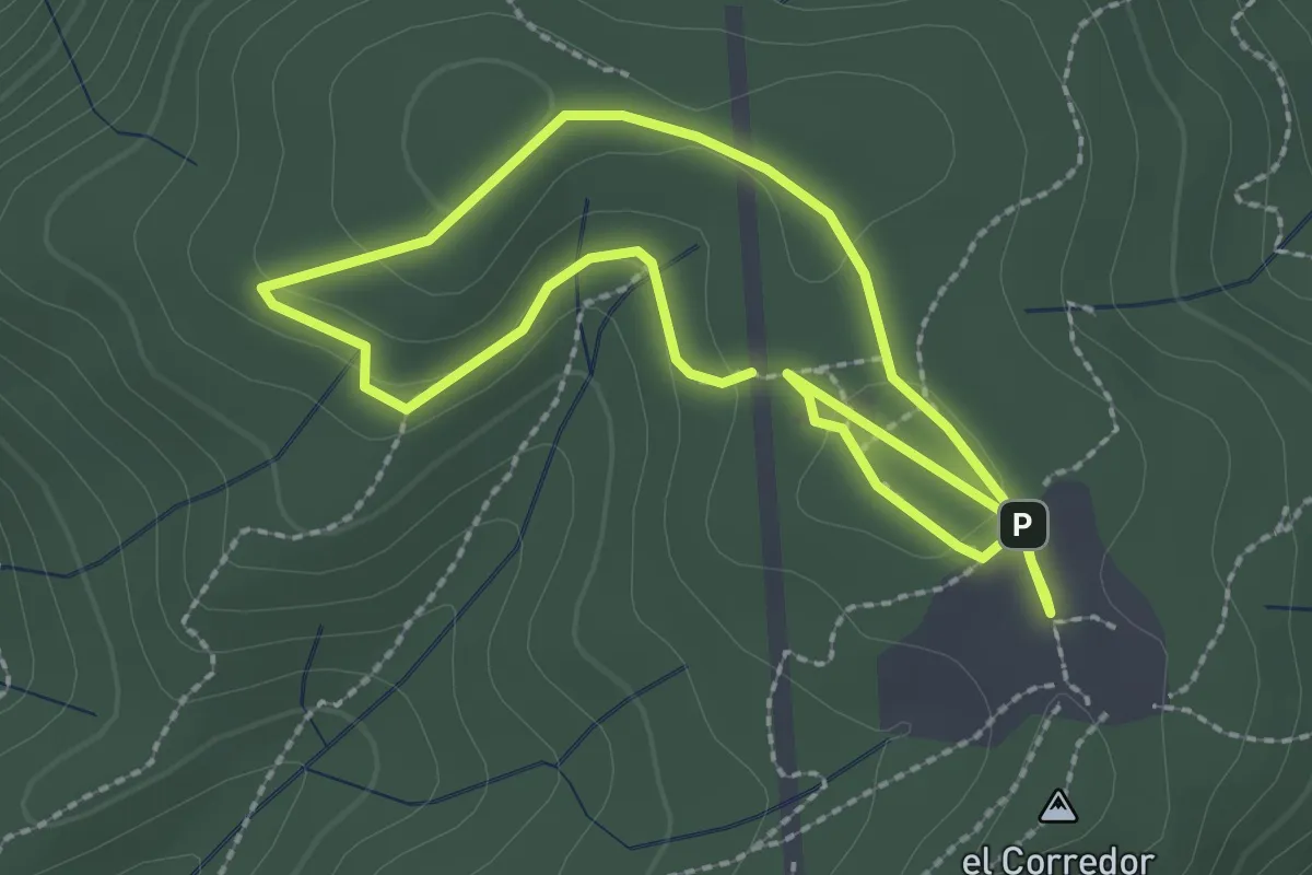
Easy · Trail
Les Planes del Corredor
2.4 km · ↑ 19 m · 38 min · 9 km away
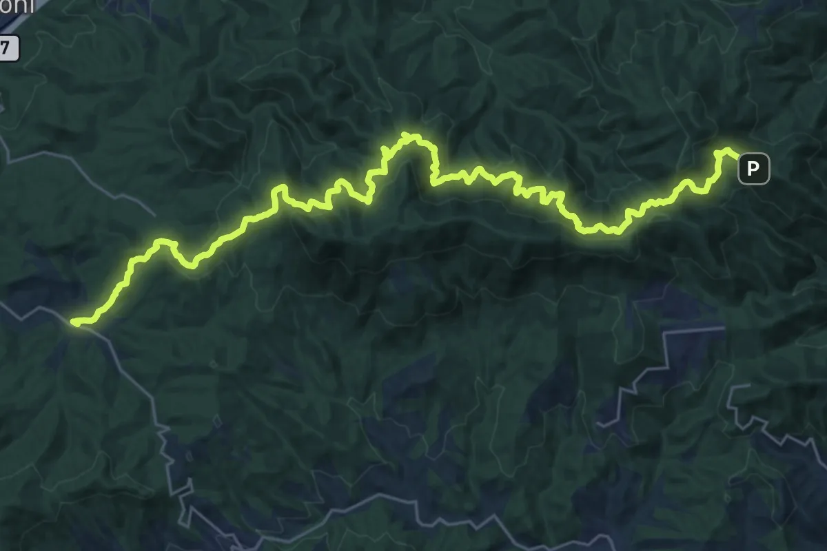
Demanding · Trail
Catalunya E14
16.9 km · ↑ 818 m · 6 h 8 min · 10 km away
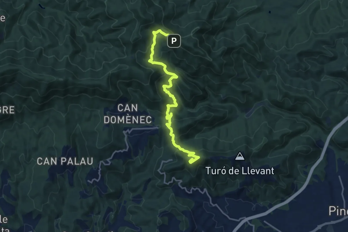
Demanding · Summit
Calella-Hortsavinyà
13.9 km · ↑ 821 m · 5 h 4 min · 10 km away
Easy · Trail
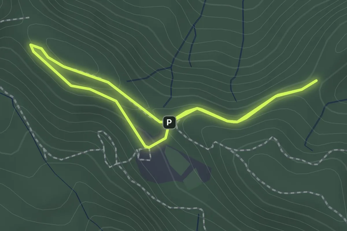
Hortsavinyà. Mare de Deu de l'Erola
1.8 km · ↑ 76 m · 37 min · 10 km away
Easy · Trail
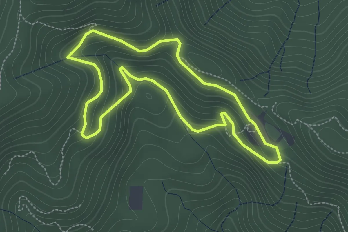
Les Alzines de Can Portell
3.0 km · ↑ 172 m · 1 h 7 min · 10 km away
Medium · Summit
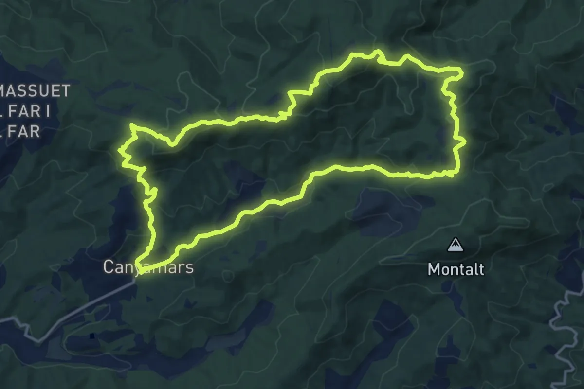
Canyamars - Santuari del Corredor
14.9 km · ↑ 536 m · 4 h 53 min · 10 km away
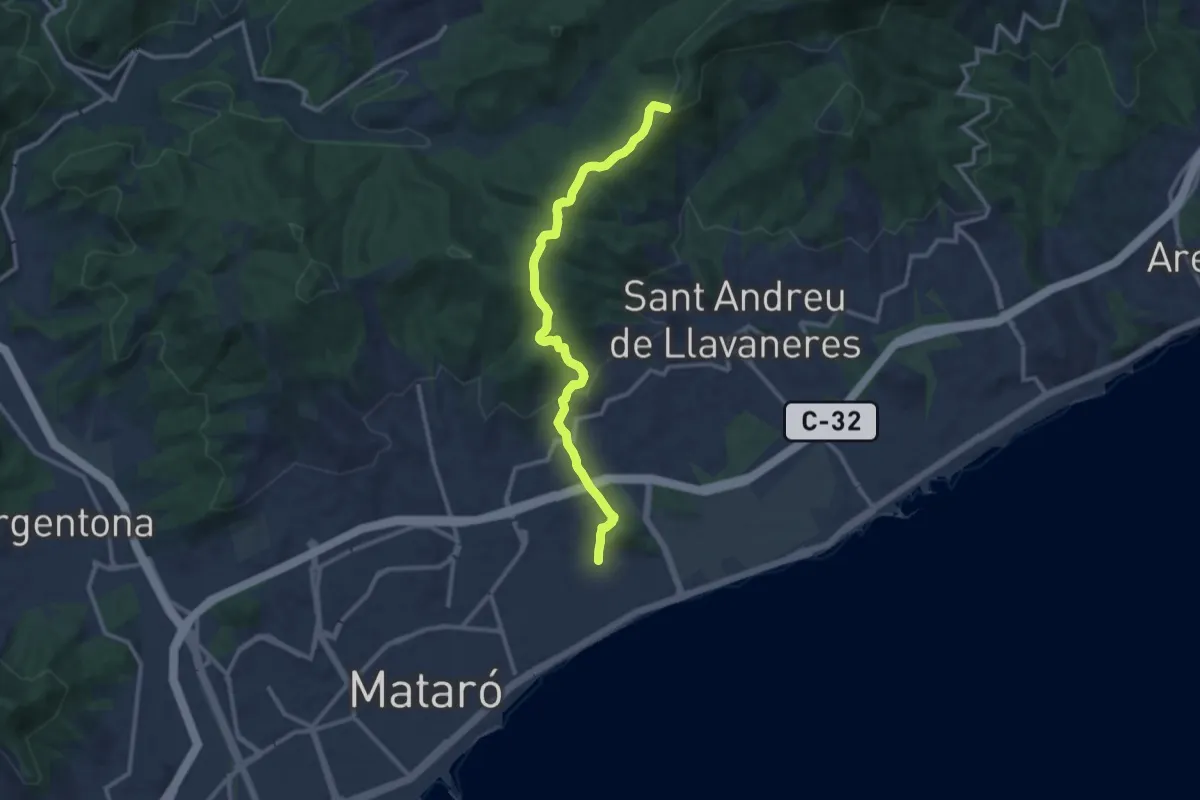
Demanding · Summit
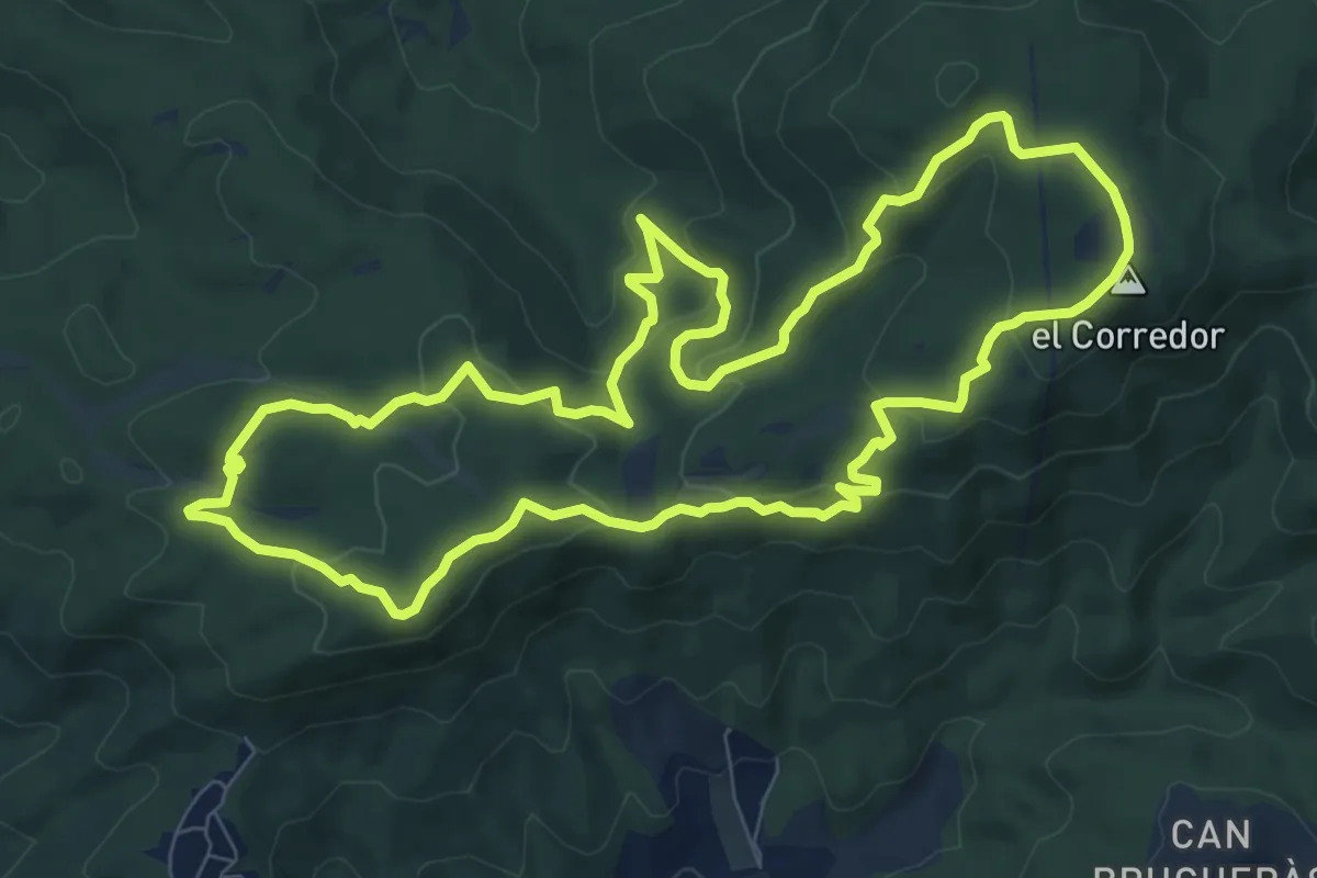
Dolmen de Ca l'Arenes
9.8 km · ↑ 373 m · 3 h 15 min · 10 km away
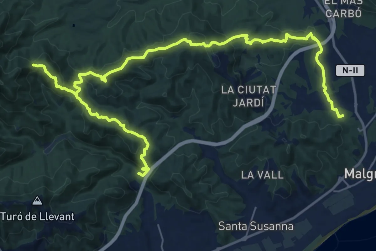
Medium · Summit
Mataró-Creu de Rupit
12.5 km · ↑ 431 m · 3 h 53 min · 10 km away
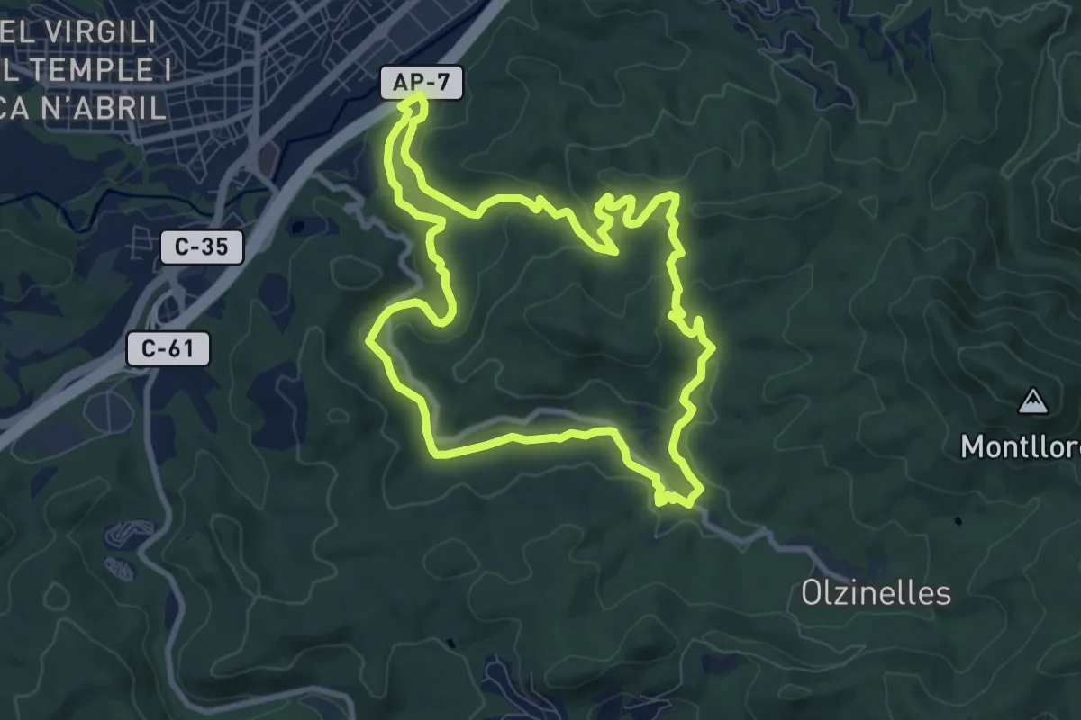
Demanding · Summit
Pineda-Vilamanya-Malgrat
30.4 km · ↑ 1271 m · 9 h 56 min · 10 km away
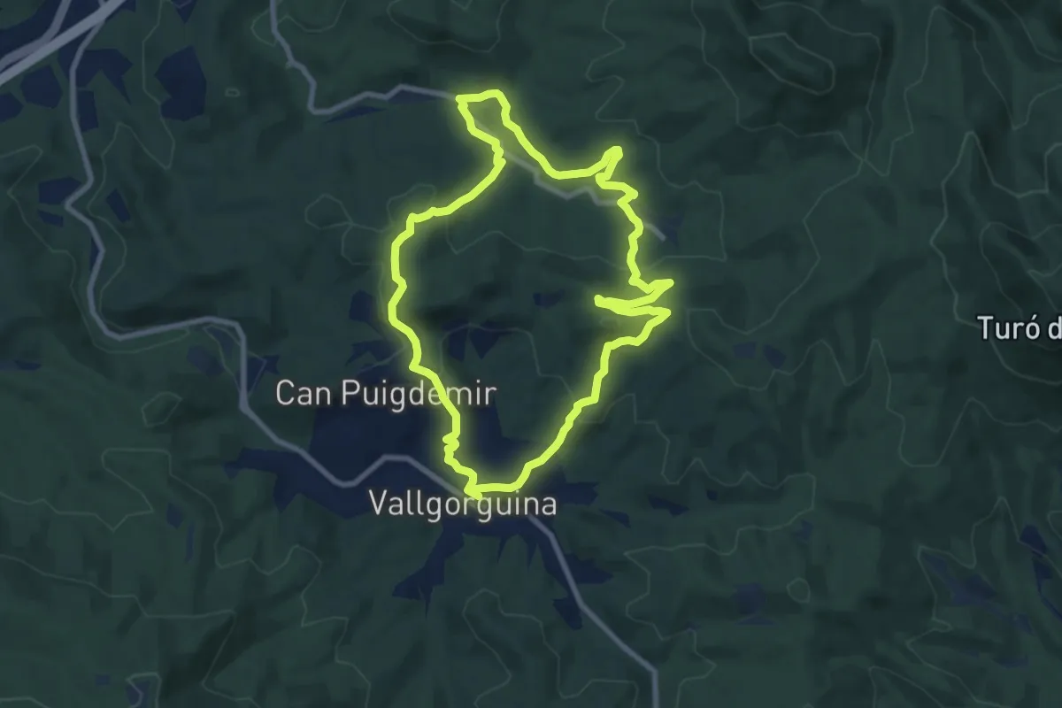
Medium · Trail
La vall d'Olzinelles
9.2 km · ↑ 223 m · 2 h 47 min · 10 km away
Medium · Summit
Vallgorguna-Olzinelles
8.9 km · ↑ 293 m · 2 h 52 min · 10 km away
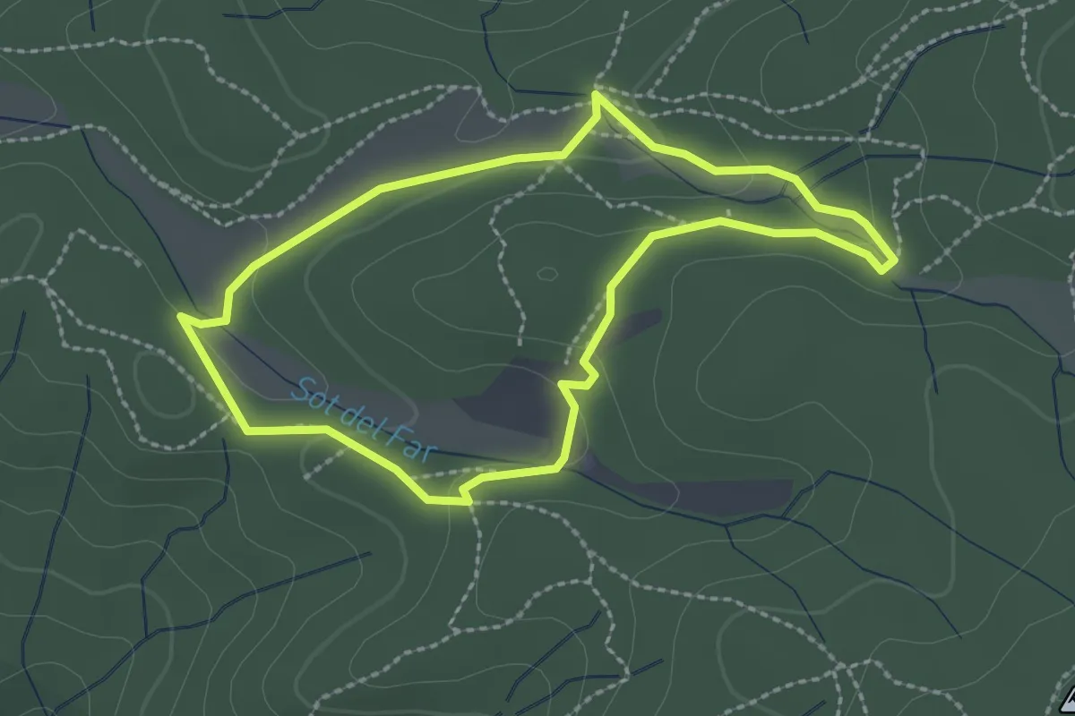
Easy · Summit
Dosrius 7 ( Circuit inclusiu esportiu "suma Capacitats" )
2.4 km · ↑ 48 m · 42 min · 12 km away
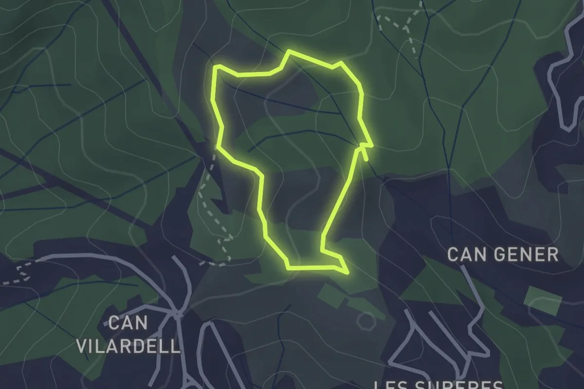
Easy · Trail
El Pont de la Vila
1.8 km · ↑ 84 m · 38 min · 12 km away
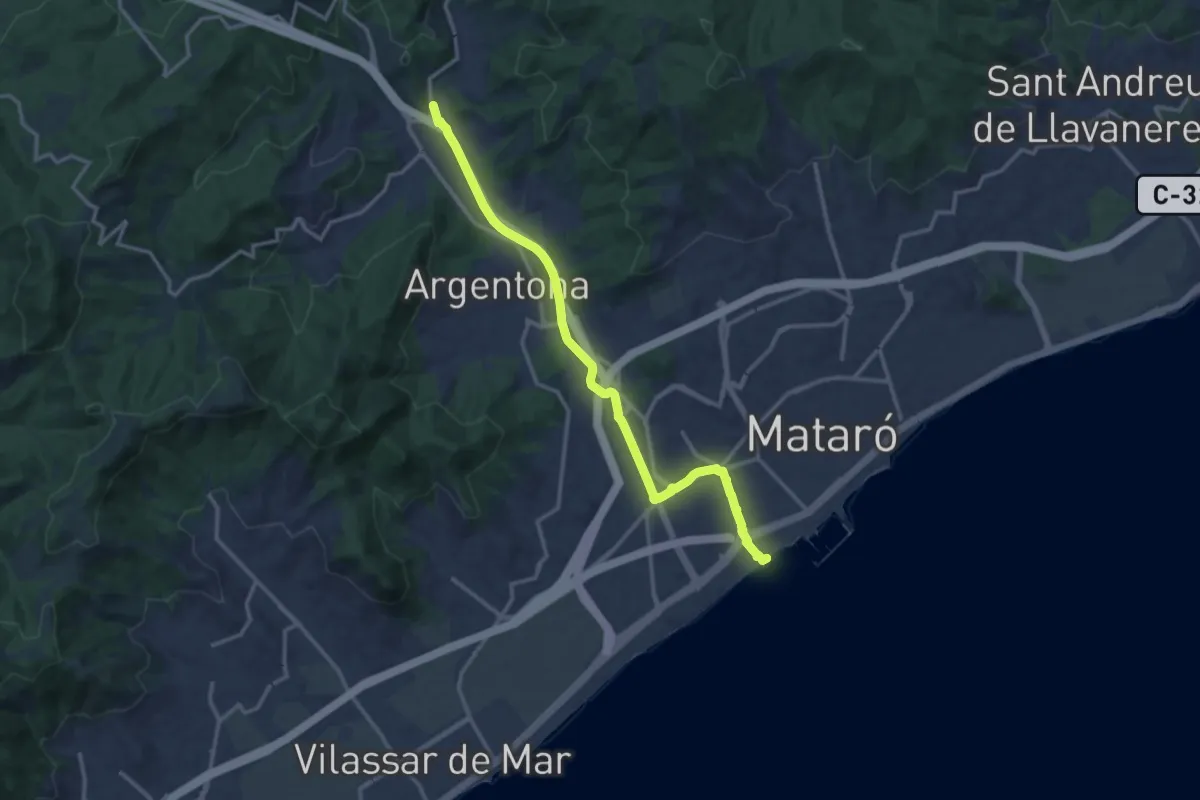
Medium · Trail
Mataró-Argentona
15.5 km · ↑ 120 m · 3 h 55 min · 14 km away
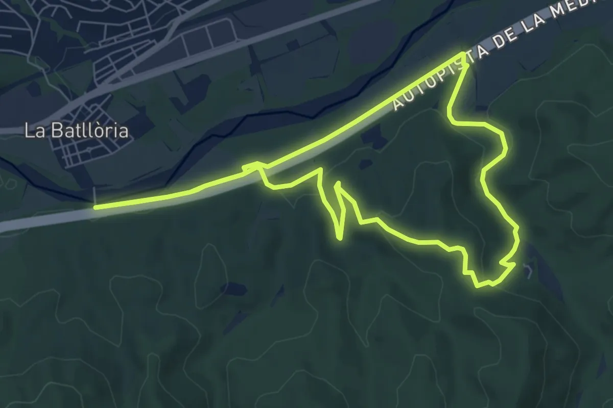
Easy · Trail
Batllòria-Serra de Can Puig
7.4 km · ↑ 124 m · 2 h 7 min · 15 km away
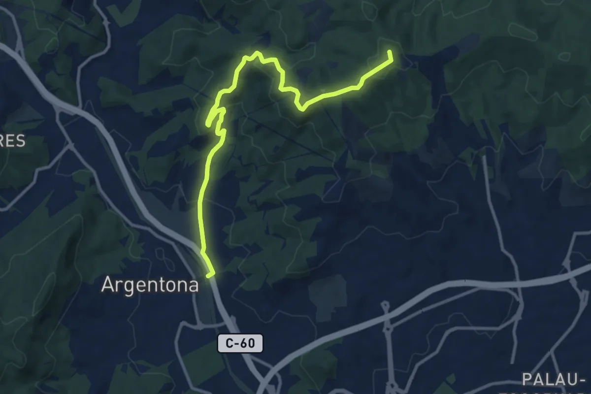
Medium · Summit
Argentona-Can Bruguera
11.3 km · ↑ 392 m · 3 h 31 min · 15 km away
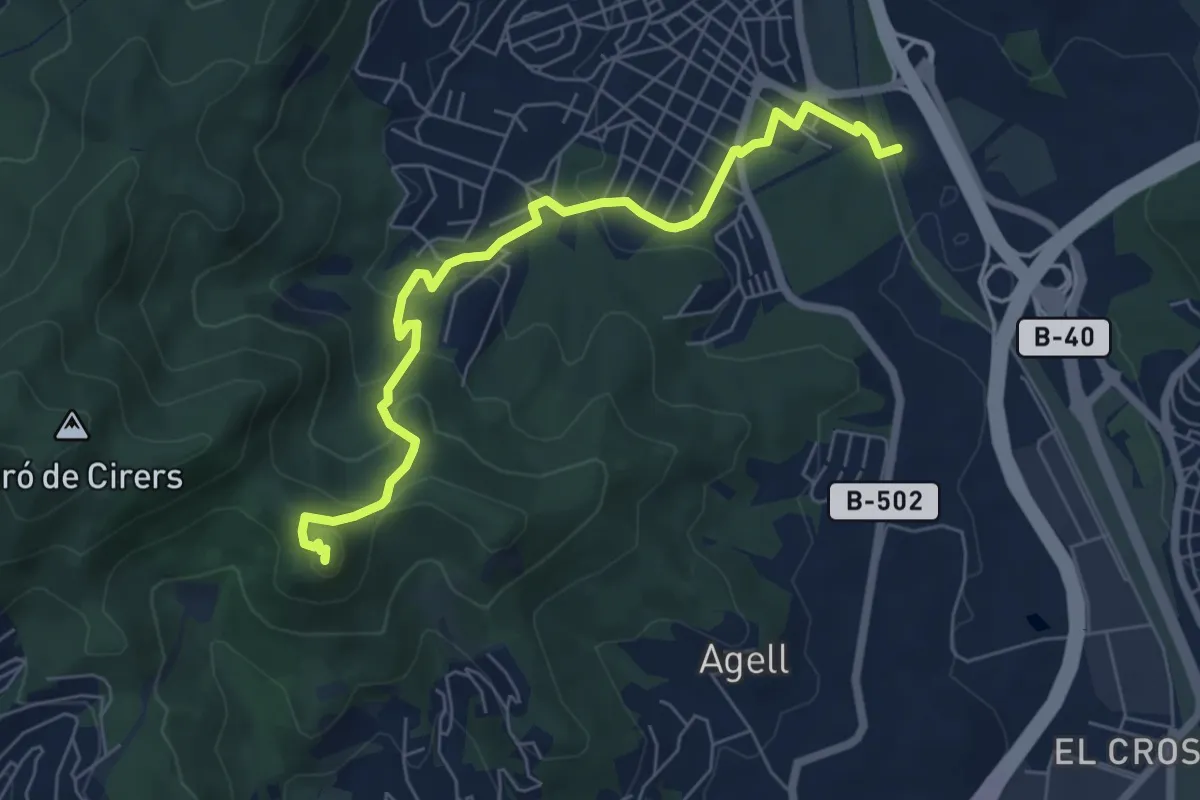
Medium · Summit
Argentona-Castell de Burriac
7.5 km · ↑ 327 m · 2 h 28 min · 15 km away
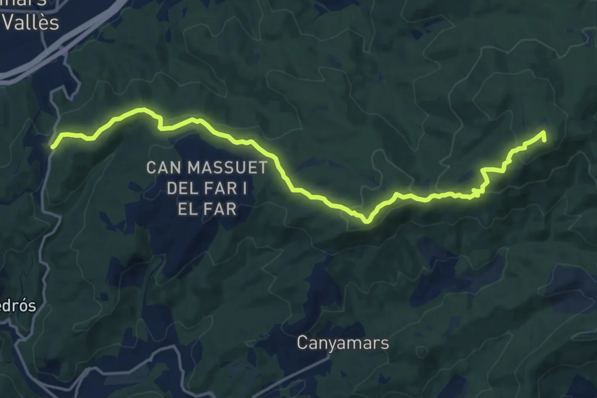
Medium · Summit
Catalunya E15
16.7 km · ↑ 440 m · 4 h 53 min · 15 km away
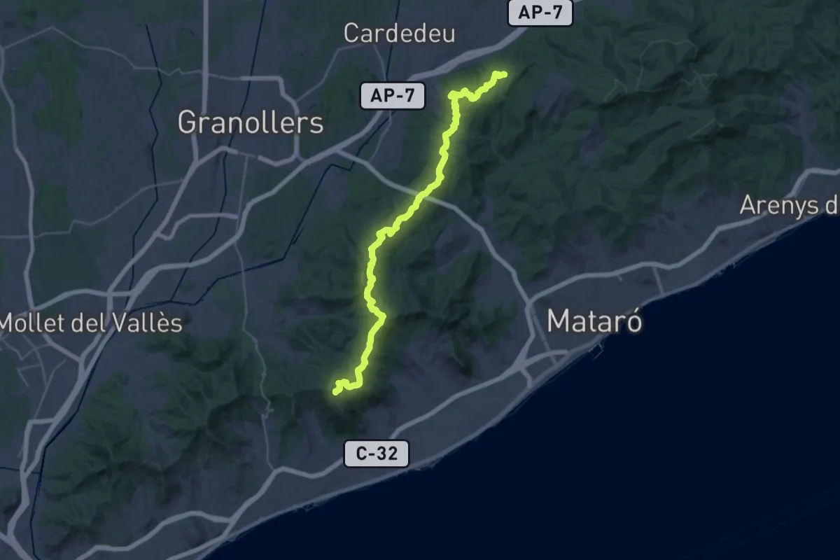
Demanding · Summit
Catalunya E16
38.5 km · ↑ 1043 m · 11 h 21 min · 15 km away