Trails near Cangas de Onís / Cangues d'Onís
22 hikes starting within 15 km, nearest first.
Nearest first
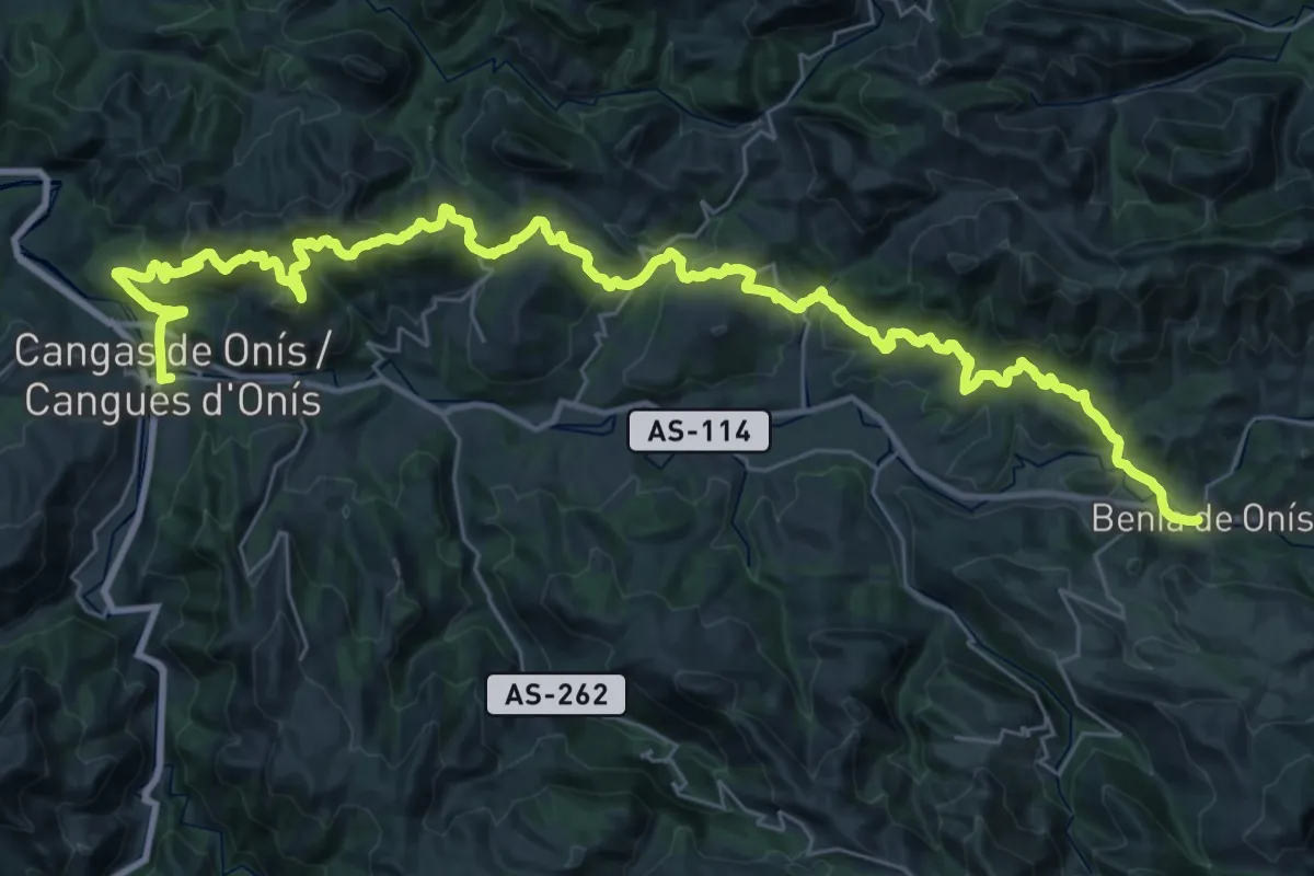
Demanding · Trail
Asturias Interior (Etapa 4)
23.8 km · ↑ 1060 m · 8 h 10 min · under 1 km away
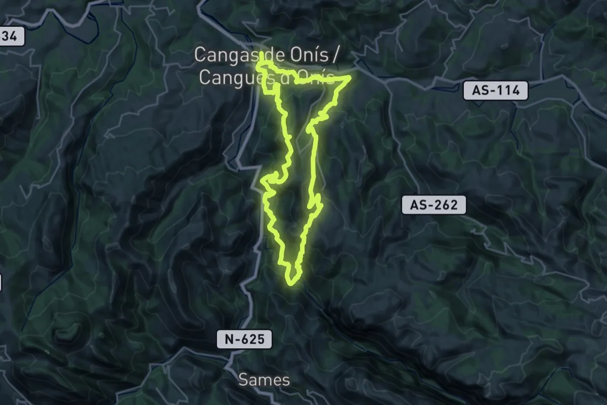
Demanding · Trail
Ruta del Rey Pelayo
23.3 km · ↑ 1495 m · 9 h 4 min · under 1 km away
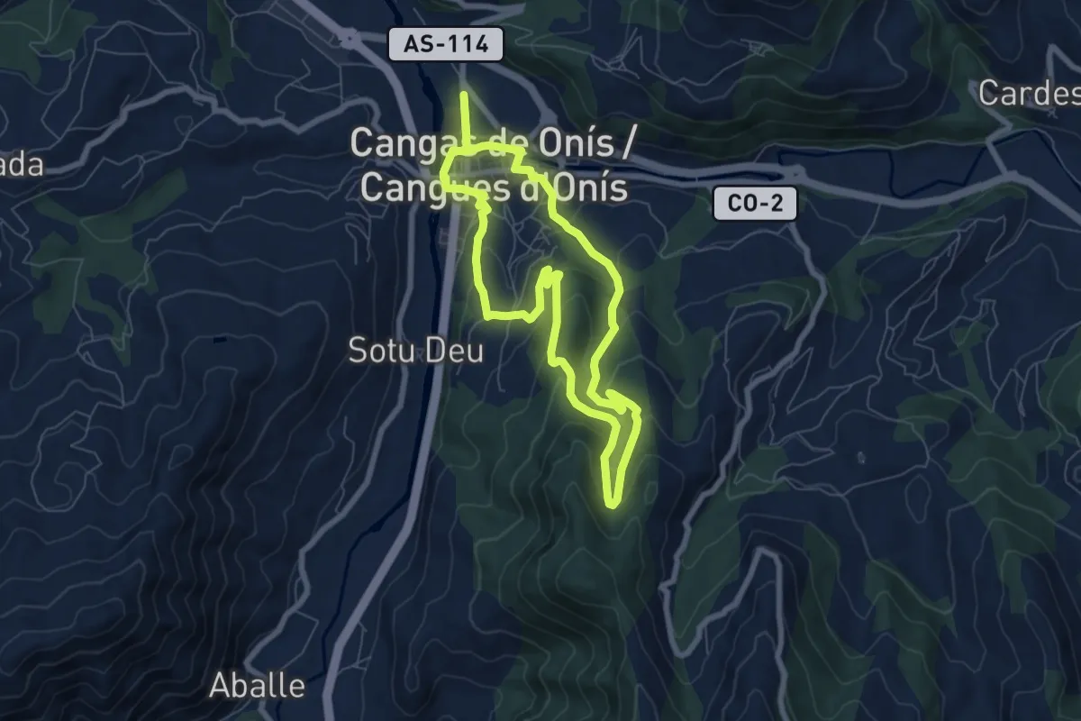
Easy · Trail
Ruta del Puentón
6.7 km · ↑ 318 m · 2 h 22 min · under 1 km away
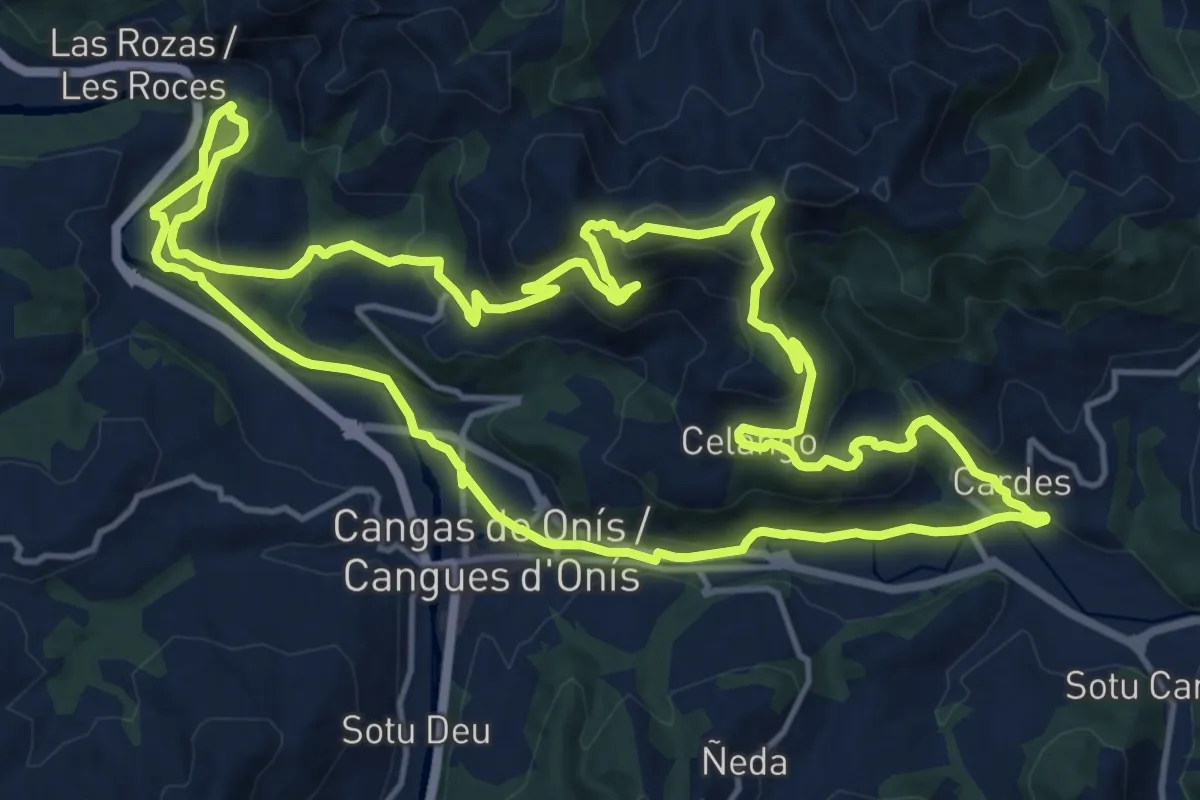
Medium · Summit
Ruta del Rey Favila
17.1 km · ↑ 714 m · 5 h 50 min · under 1 km away
Medium · Summit
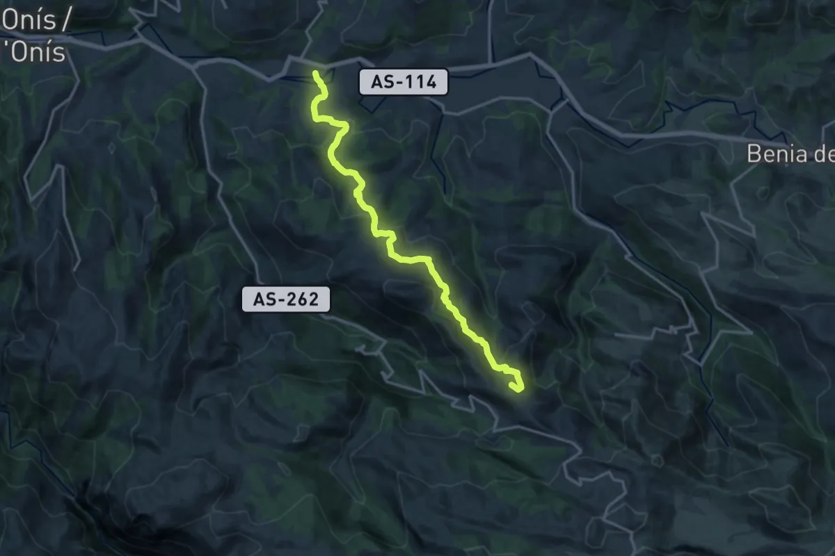
Ruta Frasinelli
15.4 km · ↑ 756 m · 5 h 16 min · 5 km away
Easy · Trail
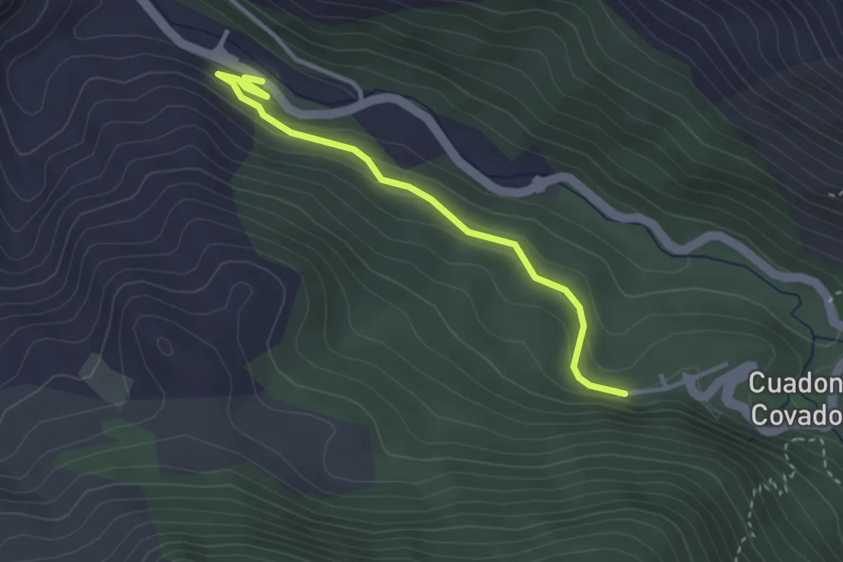
Camino Natural de Muñigo - Covadonga
3.1 km · ↑ 172 m · 1 h 7 min · 6 km away
Demanding · Trail
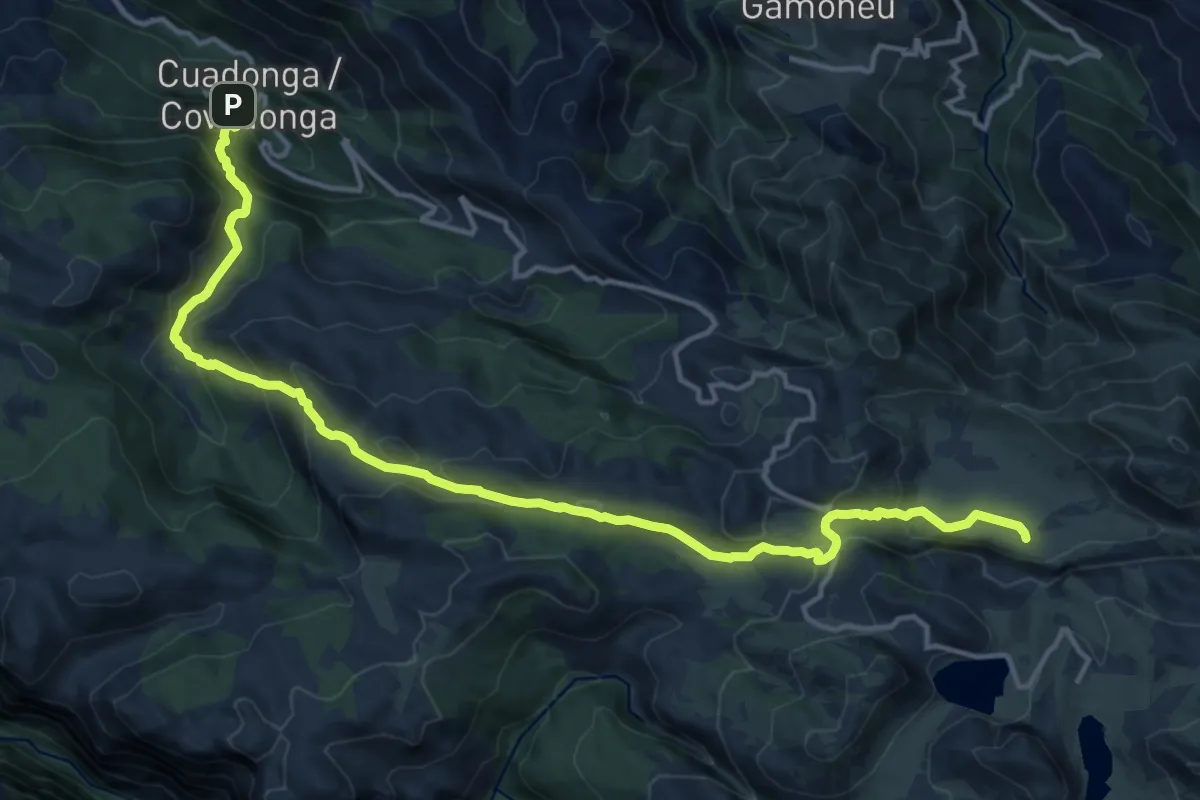
Ruta de la Reconquista (Etapa 1)
18.2 km · ↑ 1222 m · 6 h 56 min · 8 km away
Demanding · Trail
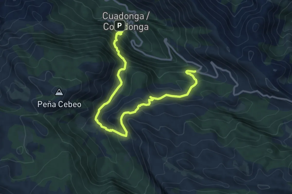
Orandi
10.5 km · ↑ 805 m · 4 h 14 min · 8 km away
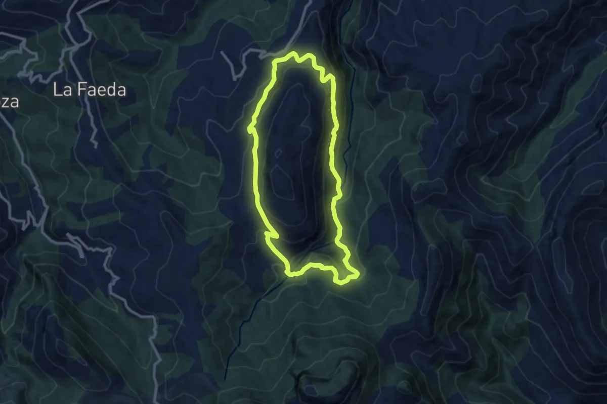
Medium · Trail
Ruta del bosque de Cea
8.4 km · ↑ 522 m · 3 h 14 min · 8 km away
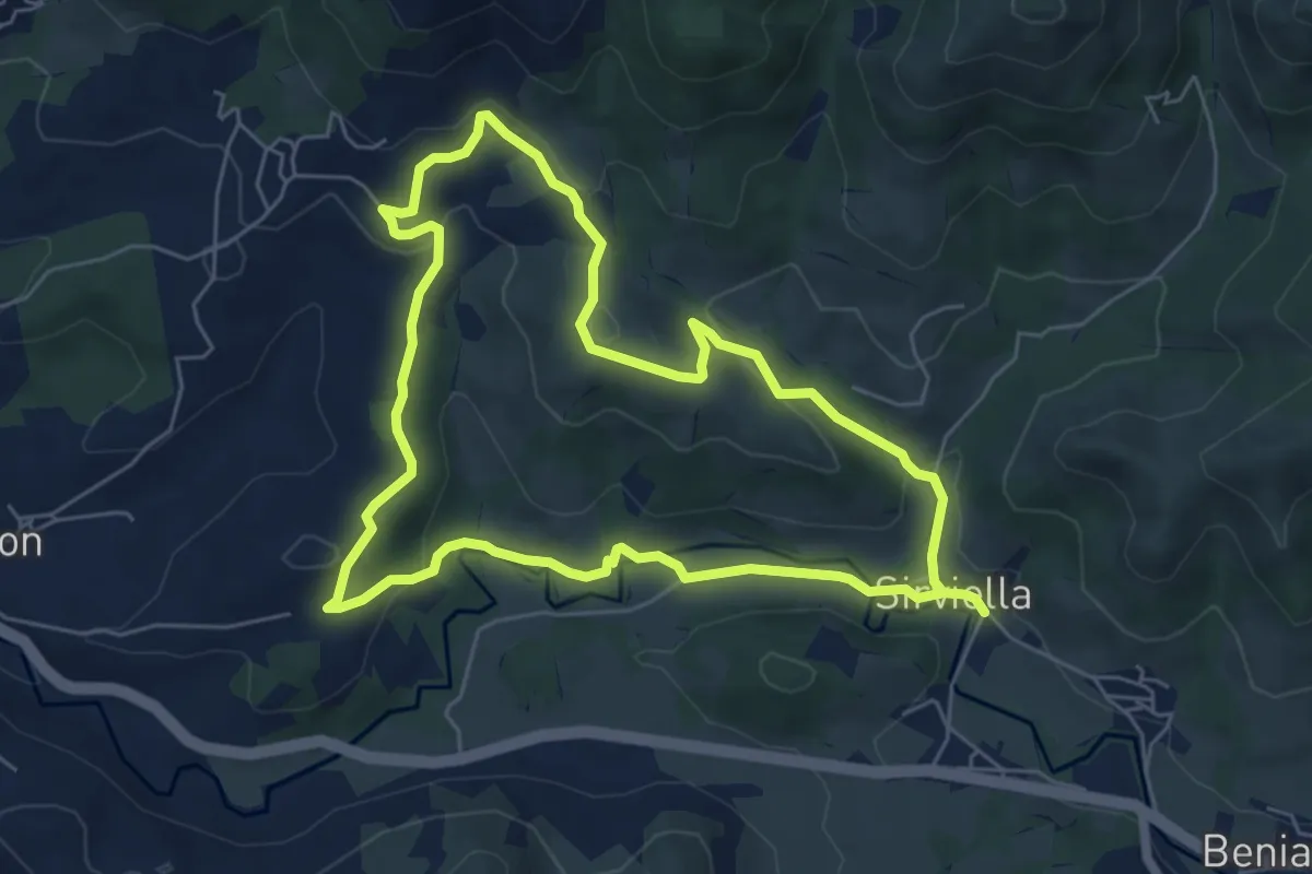
Easy · Trail
S4. Sirviella, Evergreen et Castañéu Sanchón
6.2 km · ↑ 164 m · 1 h 54 min · 12 km away
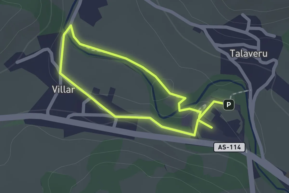
Easy · Trail
Senda Fluvial del Río Güeña
1.3 km · ↑ 9 m · 20 min · 13 km away
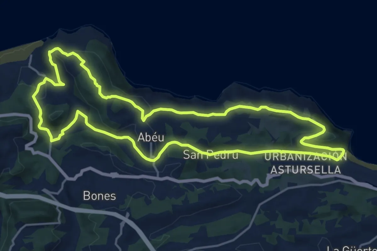
Medium · Trail
Ruta entre playas
13.4 km · ↑ 346 m · 4 h 5 min · 13 km away
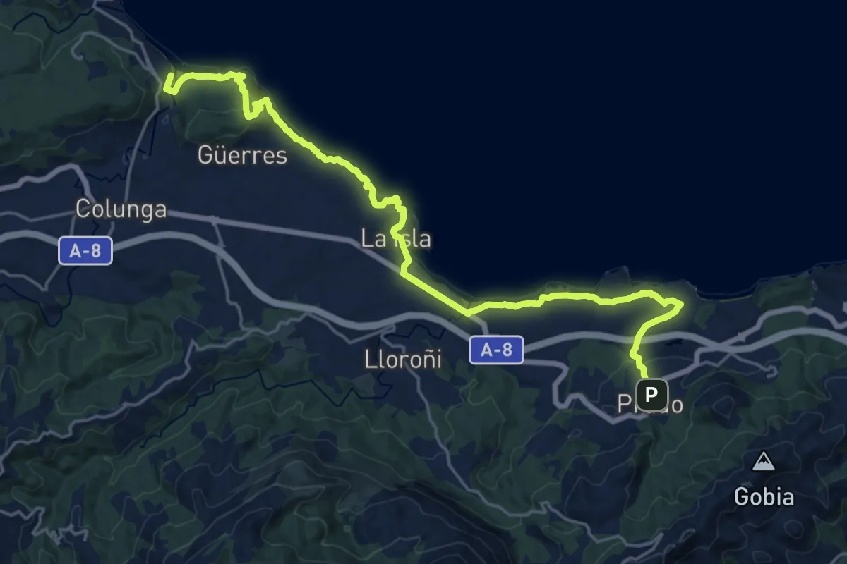
Demanding · Trail
Senda costera Arenal de Morís - Playa de La Griega
23.5 km · ↑ 561 m · 6 h 46 min · 13 km away
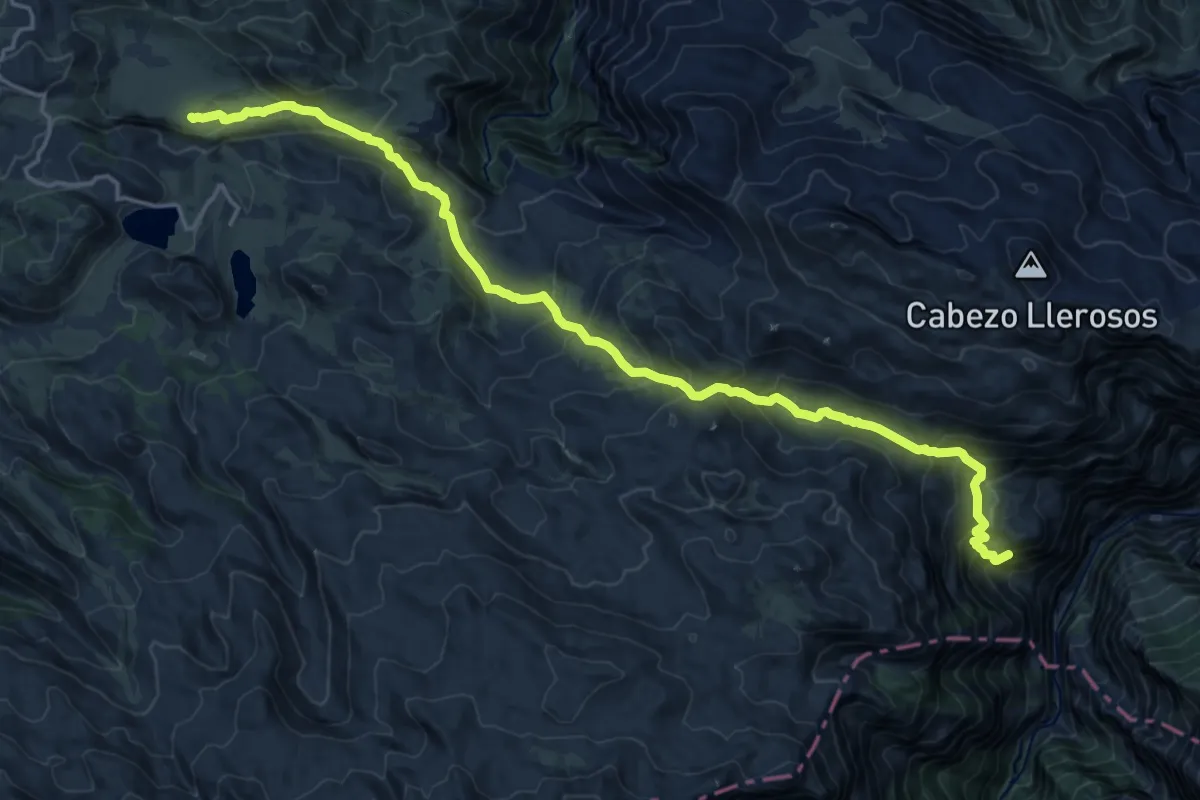
Demanding · Summit
Ruta de la Reconquista (Etapa 2)
20.3 km · ↑ 1429 m · 7 h 54 min · 14 km away
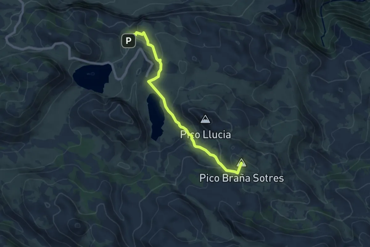
Medium · Summit
Vega de Ario
6.1 km · ↑ 311 m · 2 h 7 min · 14 km away
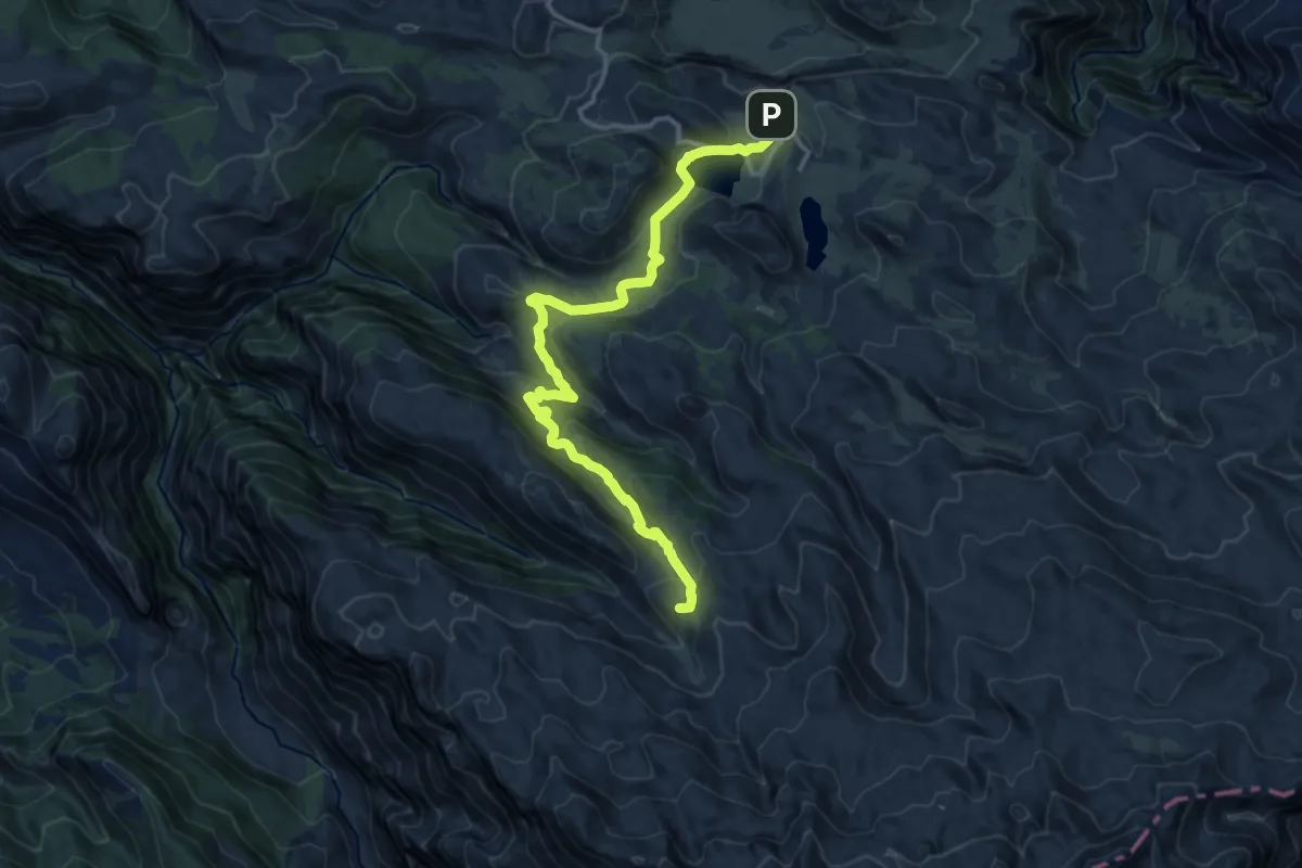
Medium · Summit
Buferrera-Ordiales
15.4 km · ↑ 602 m · 4 h 56 min · 14 km away
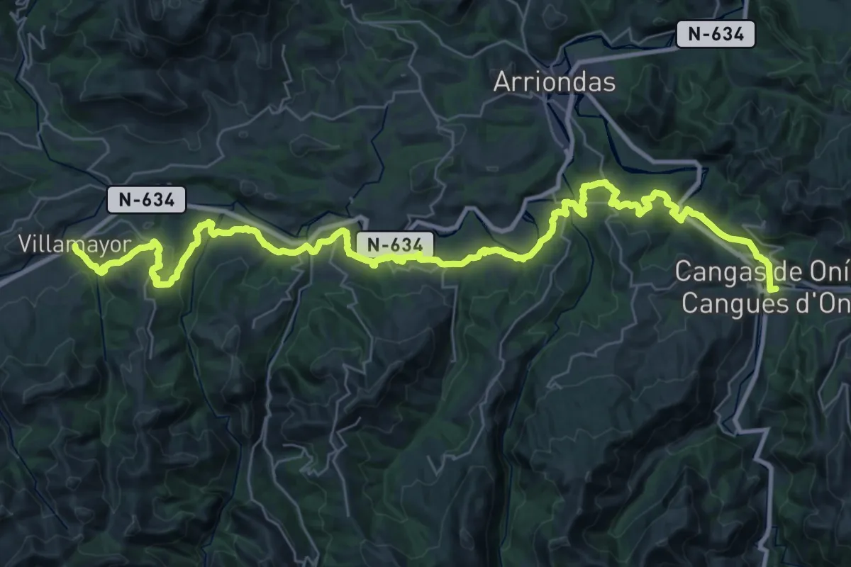
Demanding · Trail
Asturias Interior (Etapa 5)
23.5 km · ↑ 589 m · 7 h 10 min · 14 km away
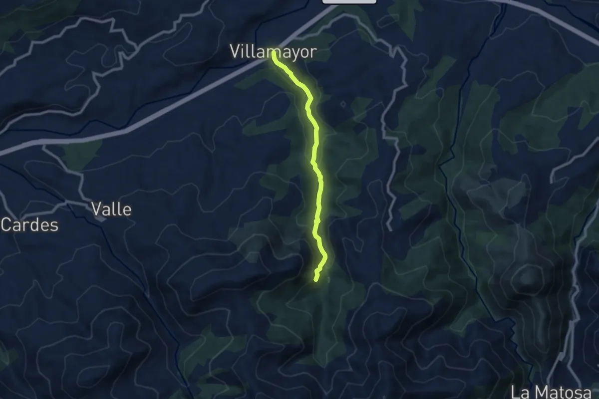
Medium · Trail
Villamayor - El Chorron - La Cueva
6.8 km · ↑ 277 m · 2 h 13 min · 14 km away
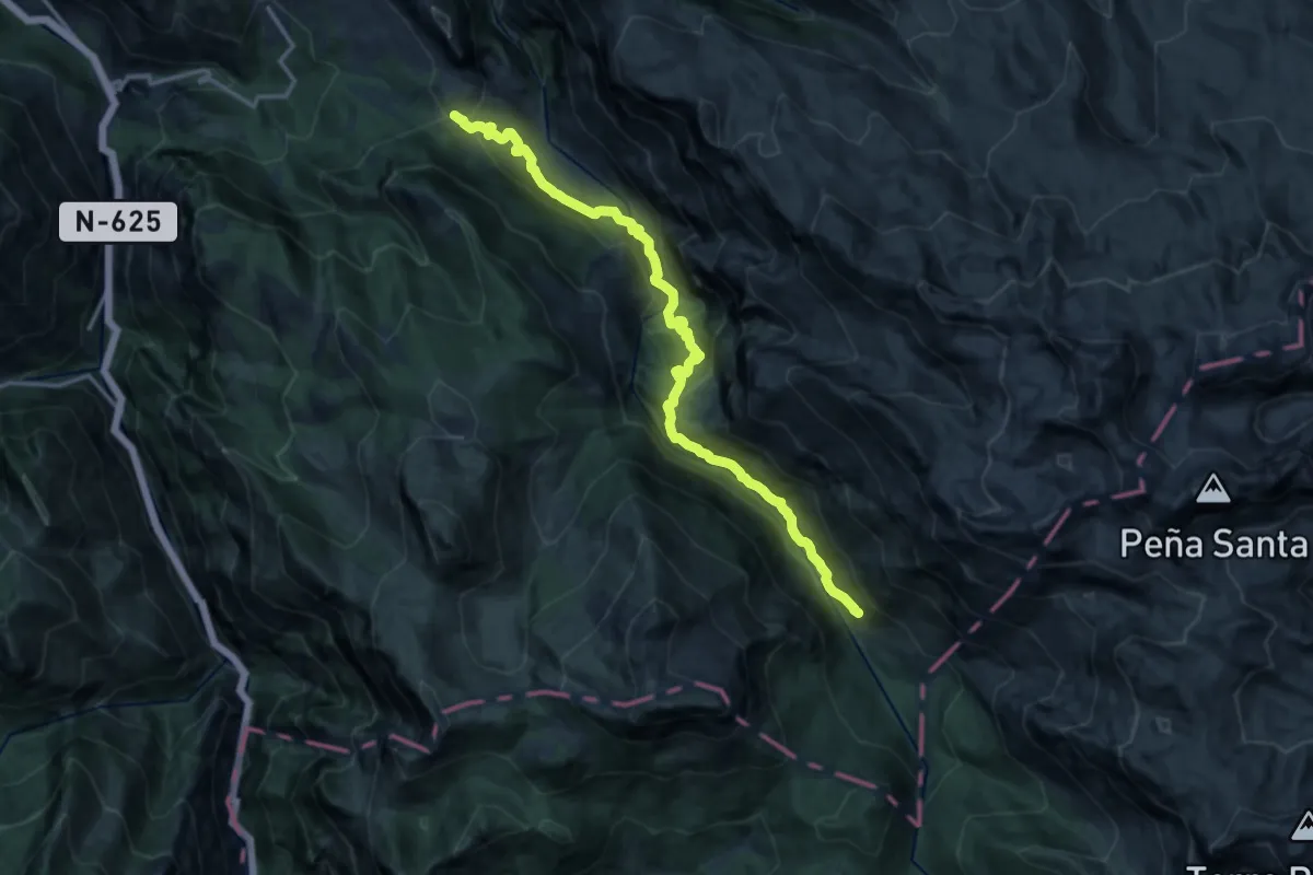
Demanding · Trail
La Jocica - Carombo
16.1 km · ↑ 985 m · 5 h 57 min · 14 km away
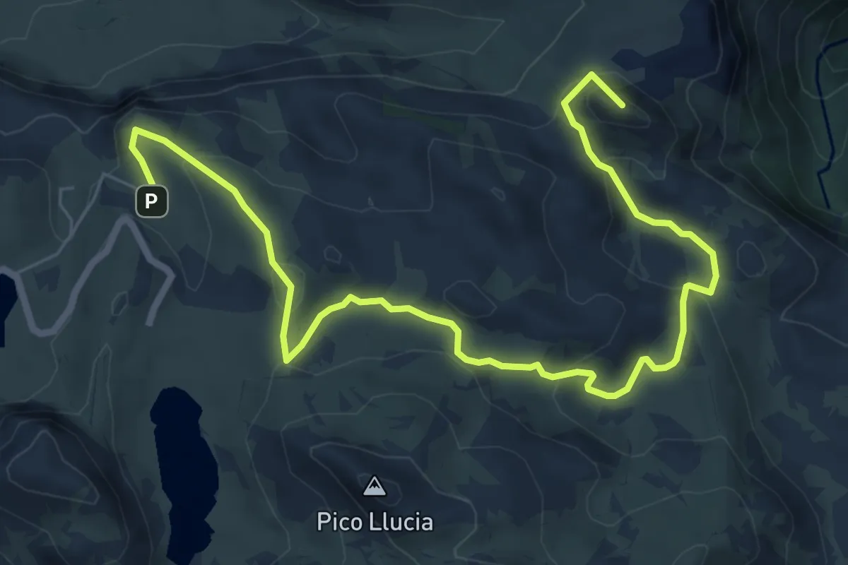
Medium · Summit
Demués - Los Lagos
9.3 km · ↑ 364 m · 2 h 58 min · 14 km away
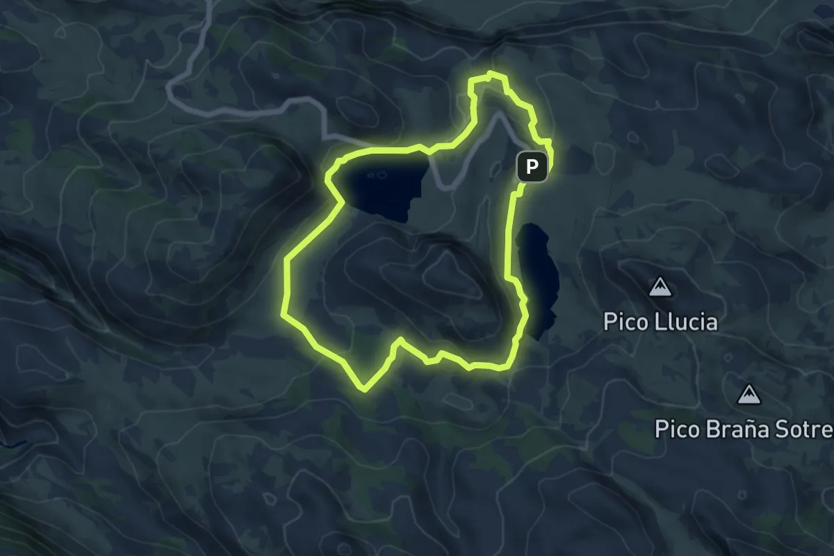
Medium · Trail
Lagos de Covadonga
5.8 km · ↑ 223 m · 1 h 56 min · 15 km away
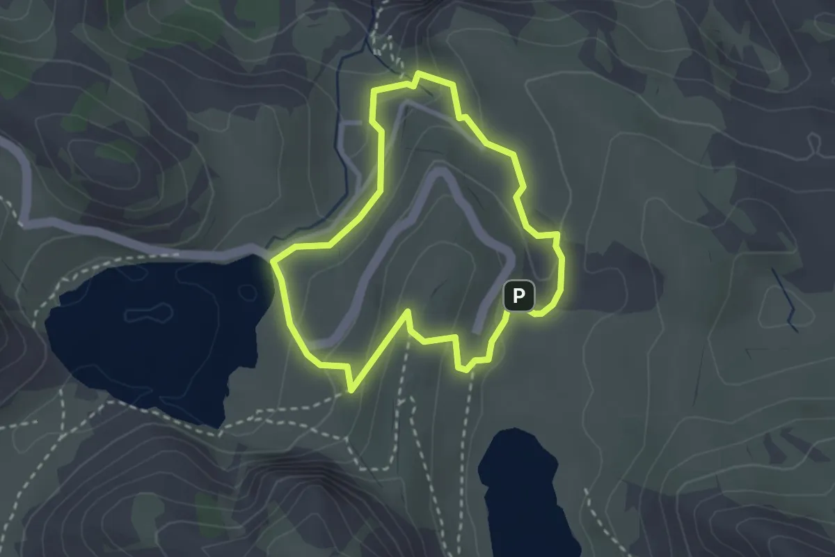
Easy · Trail
PR-PNPE 2 Lagos de Covadonga (variante corta)
2.6 km · ↑ 125 m · 55 min · 15 km away