Trails near Cassà de la Selva
22 hikes starting within 15 km, nearest first.
Nearest first
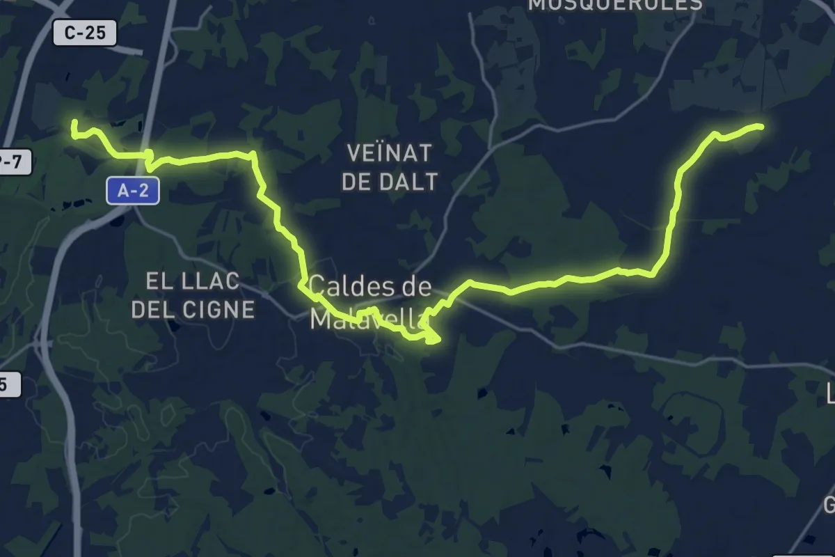
Demanding · Trail
Ruta Termal
27.9 km · ↑ 221 m · 7 h 4 min · 3 km away
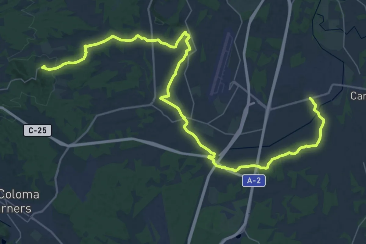
Demanding · Trail
Camí de l'Onyar
19.7 km · ↑ 202 m · 5 h 17 min · 6 km away
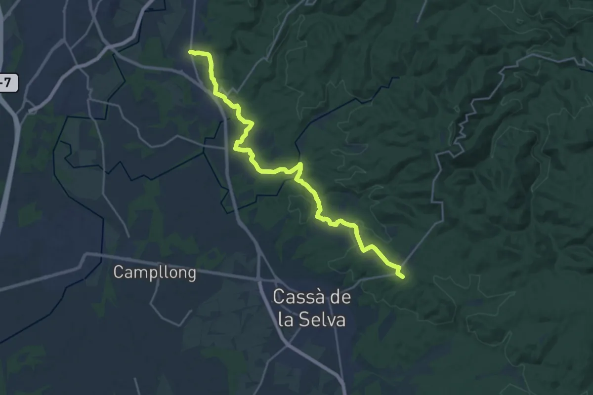
Demanding · Summit
Quart-Cassà de la Selva
19.4 km · ↑ 296 m · 5 h 14 min · 6 km away
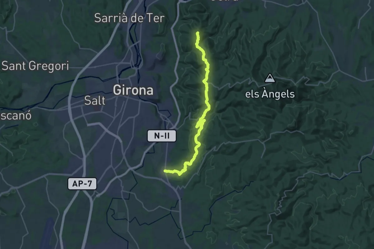
Demanding · Summit
Quart-Castell de Sant Miquel
23.6 km · ↑ 572 m · 6 h 48 min · 6 km away
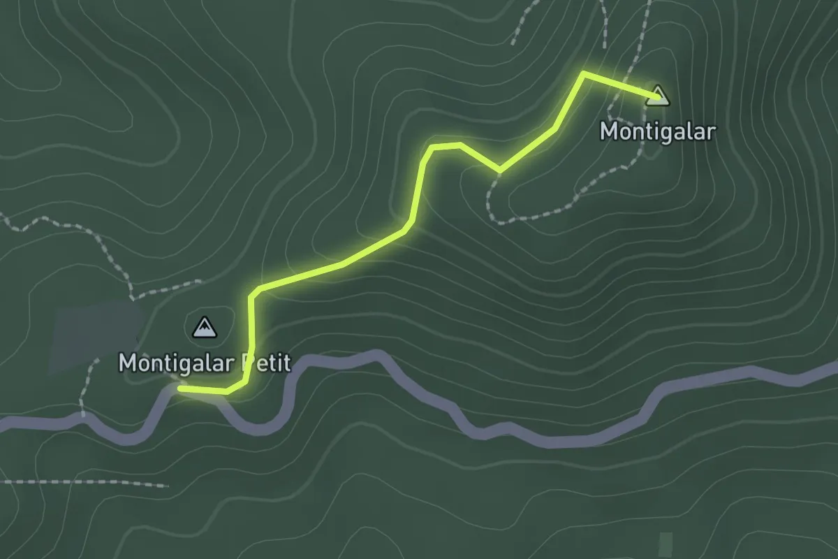
Medium · Summit
Sender del Puig del Montigalar
2.0 km · ↑ 101 m · 41 min · 9 km away
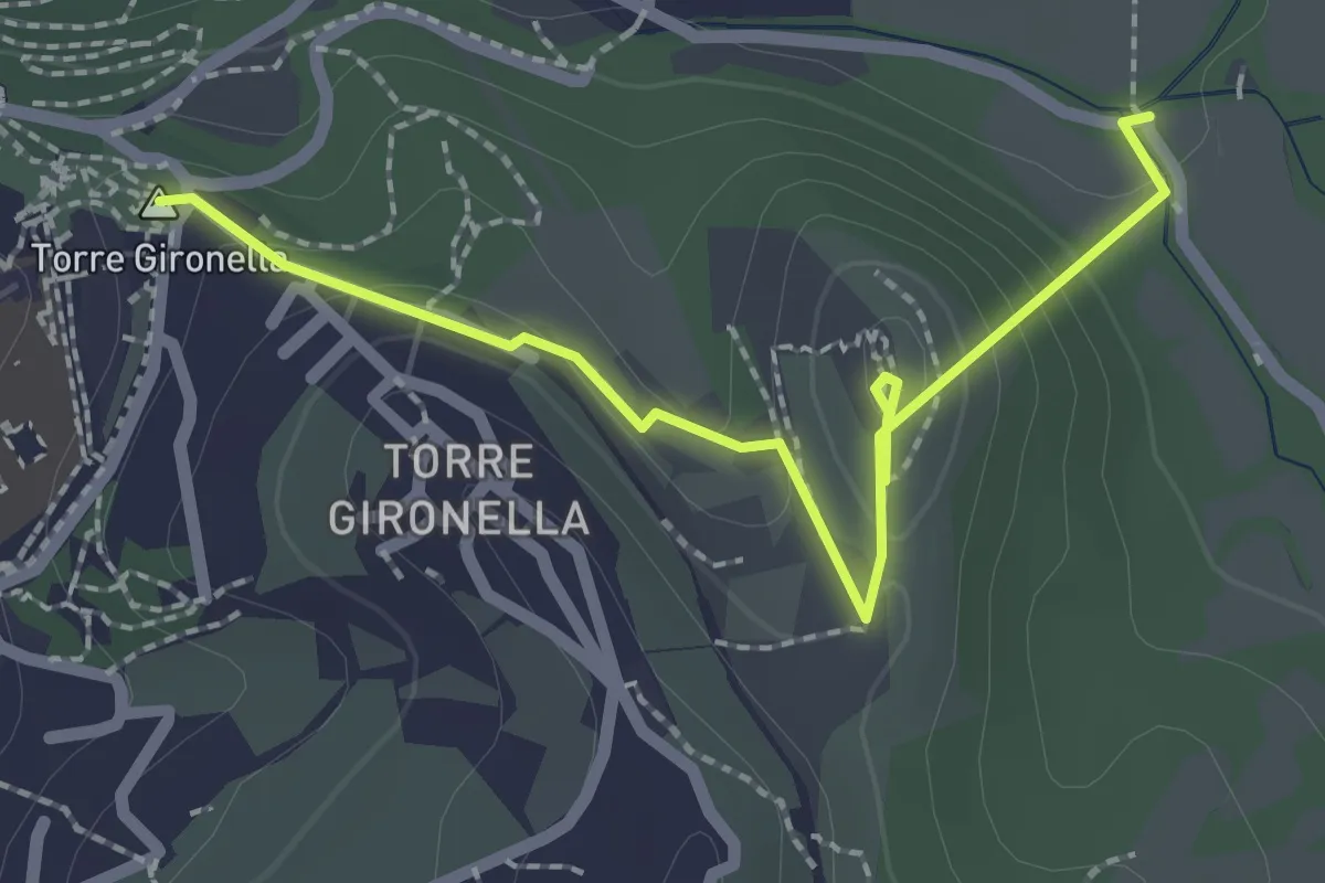
Easy · Summit
Sender de l'Església del Calvari
2.6 km · ↑ 94 m · 50 min · 11 km away
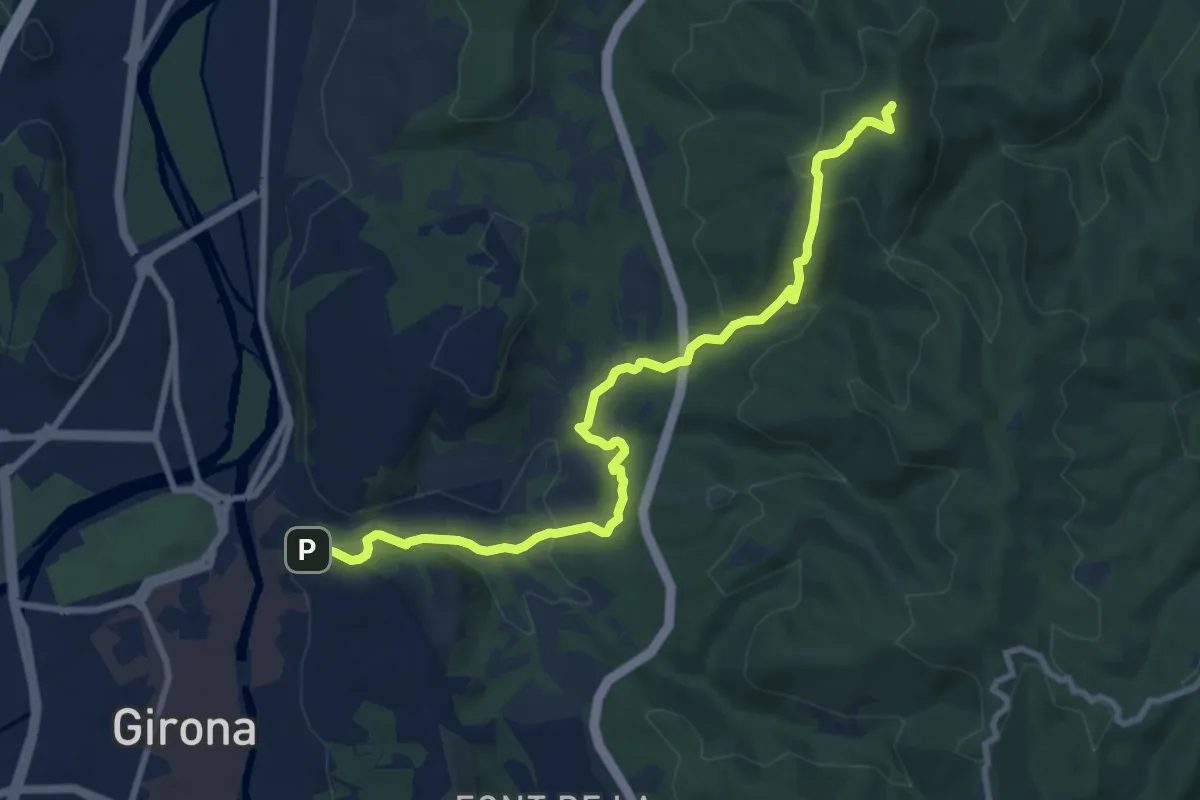
Medium · Summit
Girona-Sant Martí Vell
10.5 km · ↑ 408 m · 3 h 22 min · 12 km away
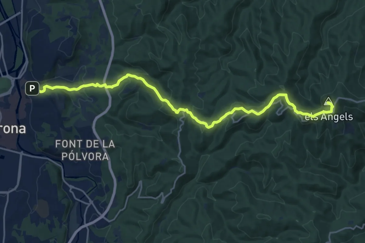
Medium · Summit
Girona-Madremanya
17.5 km · ↑ 652 m · 5 h 33 min · 12 km away
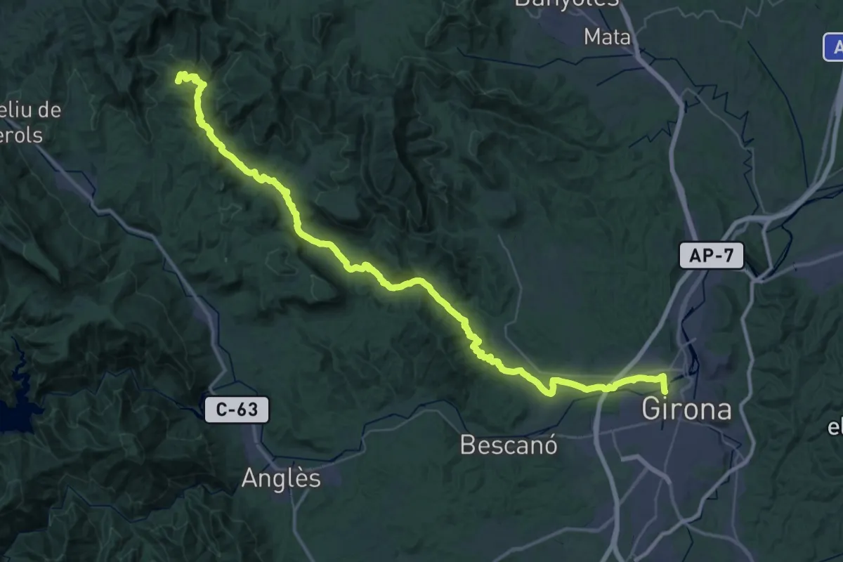
Demanding · Trail
Camí ral de la Vall de Llémena
29.3 km · ↑ 570 m · 8 h 23 min · 12 km away
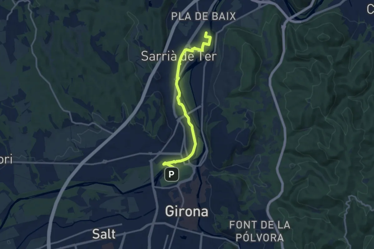
Medium · Trail
Via Verda del Tren Pinxo - Tram Girona-Sarrià
10.9 km · ↑ 44 m · 2 h 40 min · 12 km away
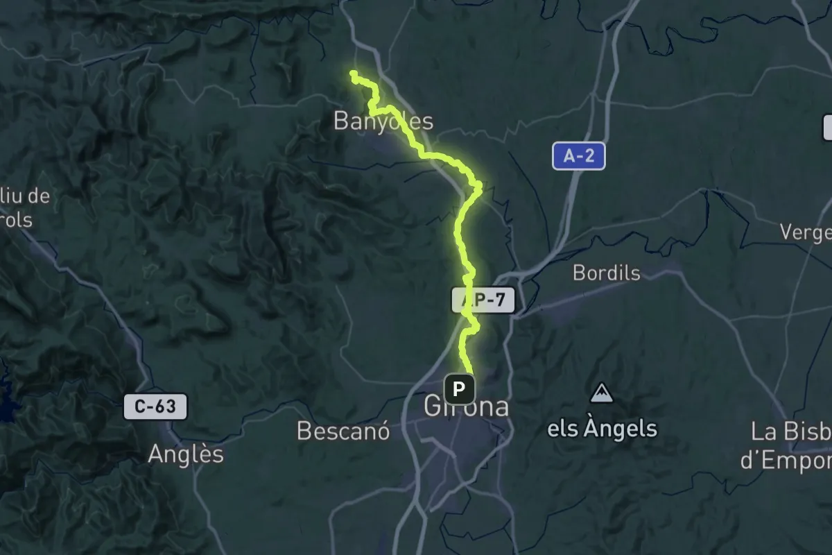
Demanding · Summit
Via Verda del Tren Pinxo
55.5 km · ↑ 357 m · 13 h 52 min · 12 km away
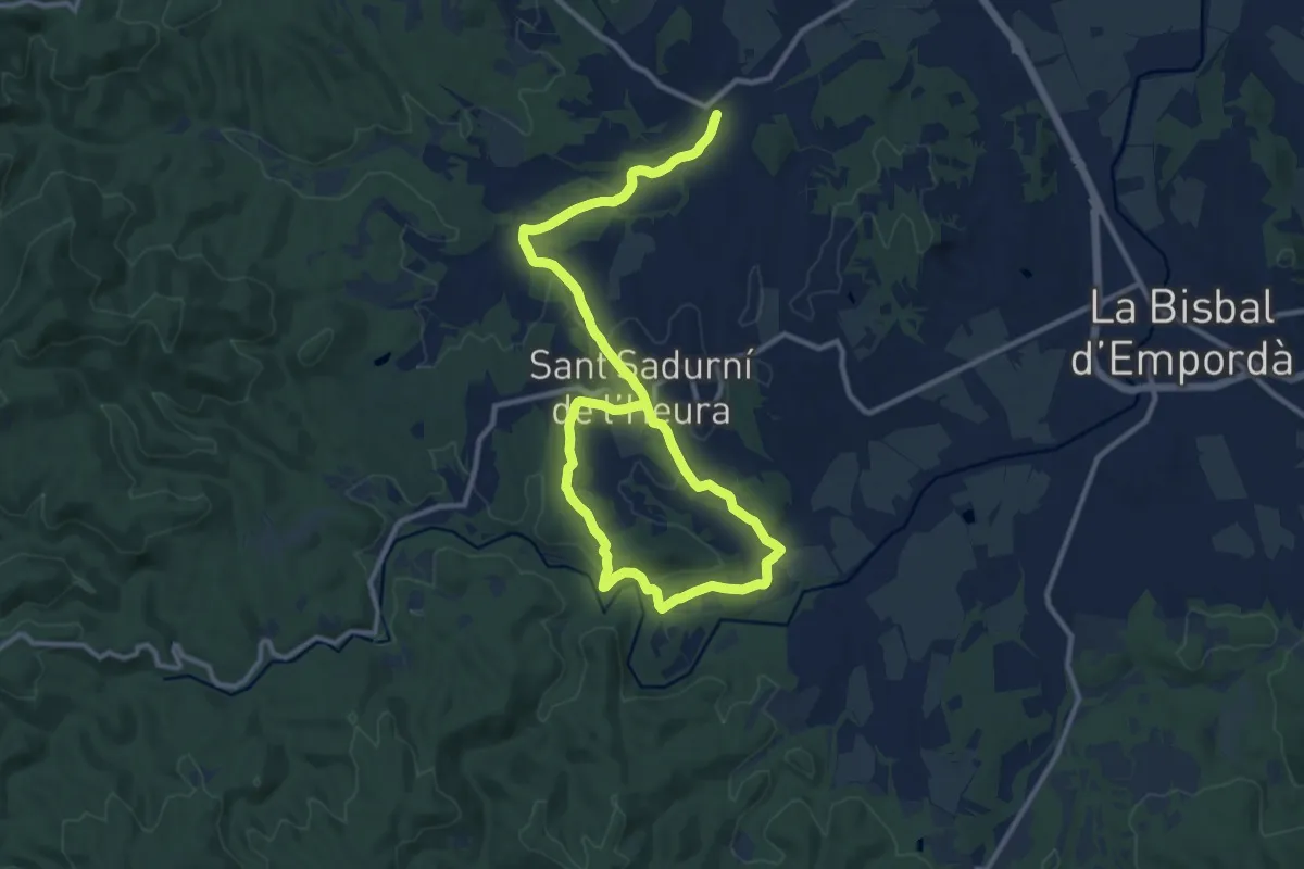
Medium · Trail
Monells a l'ermita de Sant Joan Salelles i el Molí d'en Frigola
12.5 km · ↑ 145 m · 3 h 27 min · 12 km away
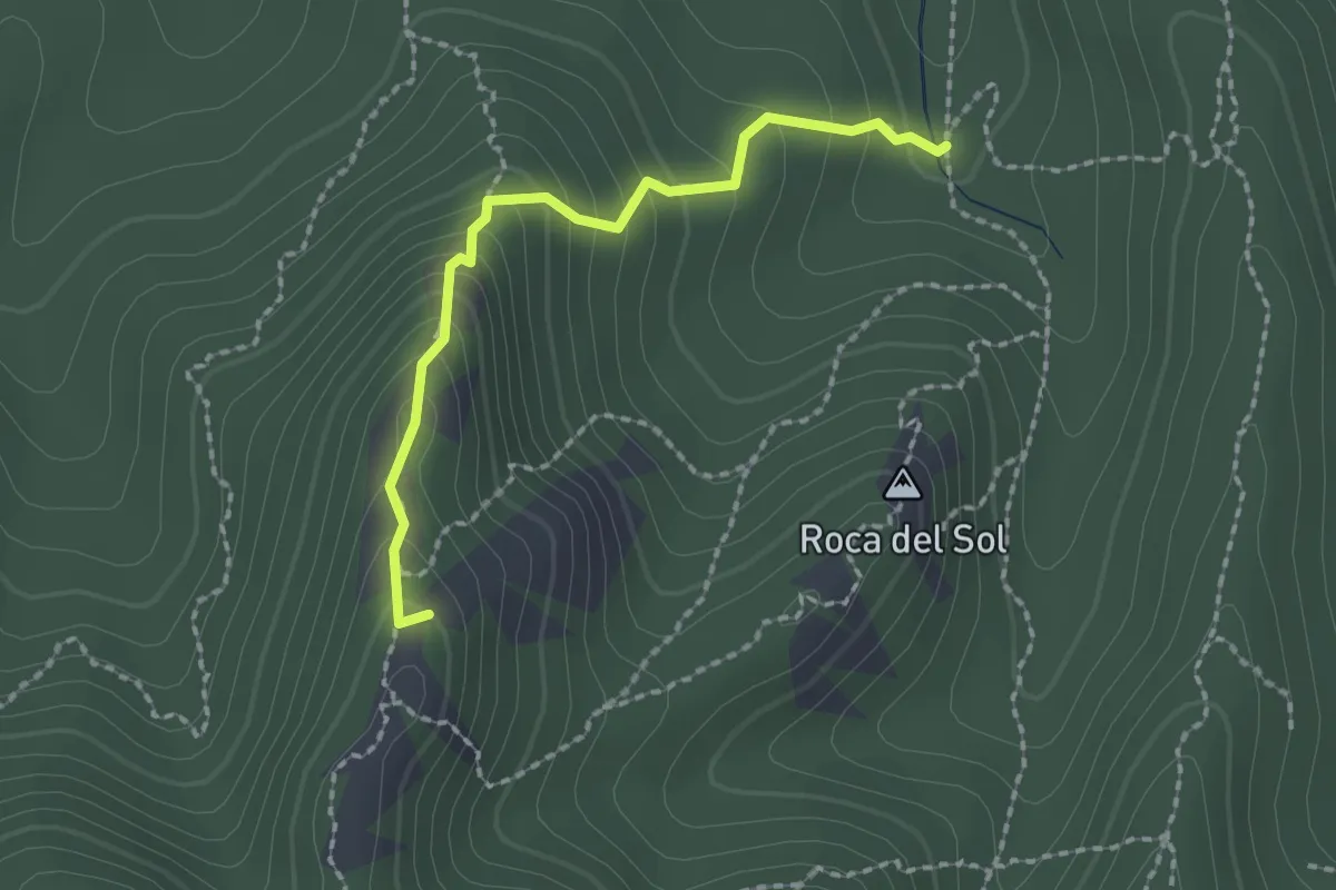
Demanding · Summit
sender local Els Carcaixells
2.1 km · ↑ 185 m · 53 min · 13 km away
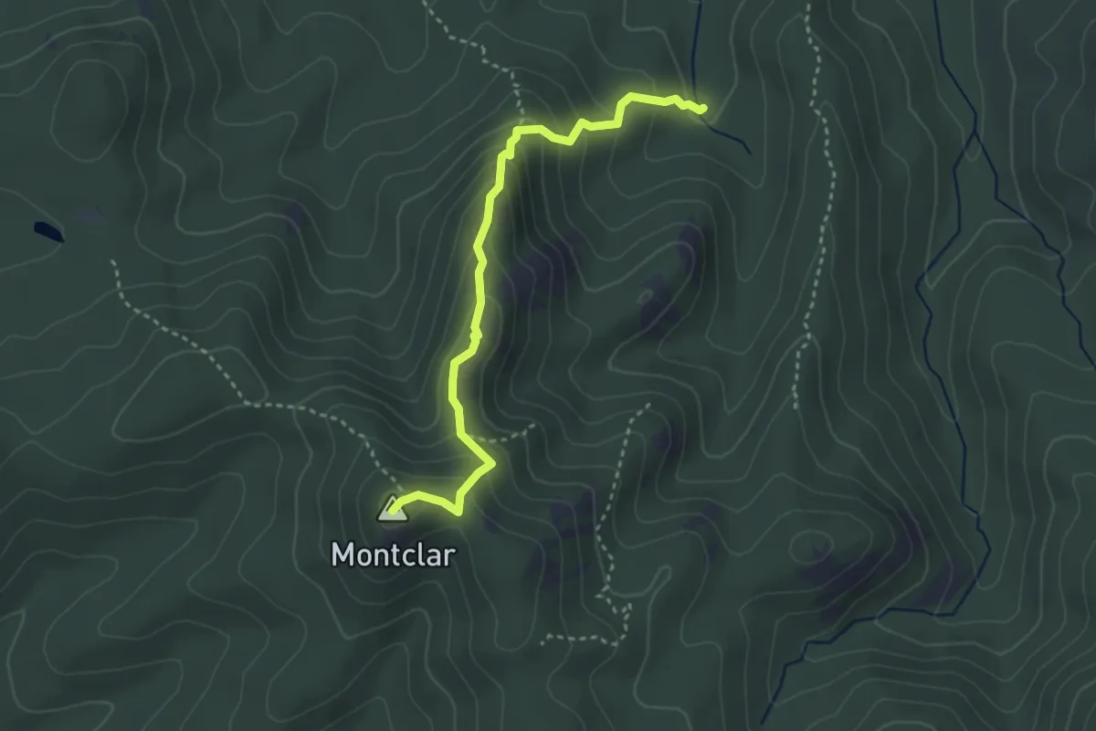
Demanding · Summit
Carcaixells d'en Dalmau i de la Roca Rodona
3.6 km · ↑ 279 m · 1 h 27 min · 13 km away
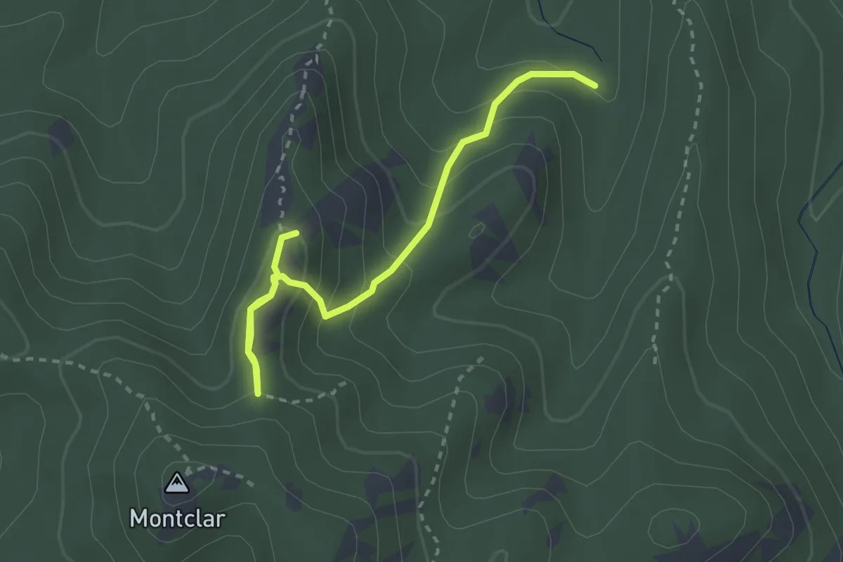
Demanding · Summit
Carcaixells d'en Dalmau i de la Roca Rodona
3.2 km · ↑ 236 m · 1 h 16 min · 13 km away
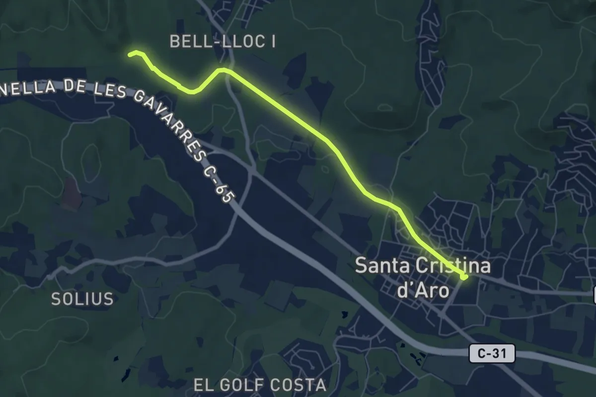
Easy · Trail
Pont de Salenys
7.0 km · ↑ 26 m · 1 h 43 min · 13 km away
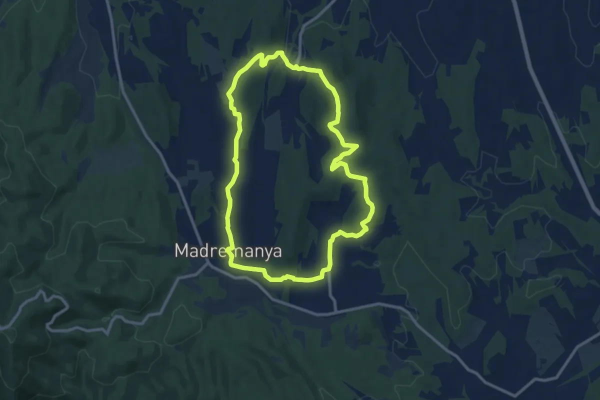
Medium · Trail
Madremanya-Millàs-Pedrinyà
8.7 km · ↑ 174 m · 2 h 33 min · 13 km away
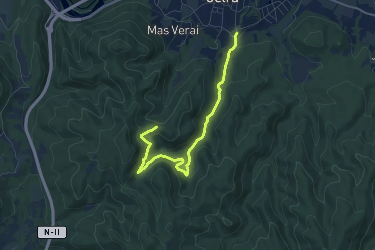
Medium · Trail
Celrà mina del nen Jesús
8.7 km · ↑ 300 m · 2 h 42 min · 13 km away
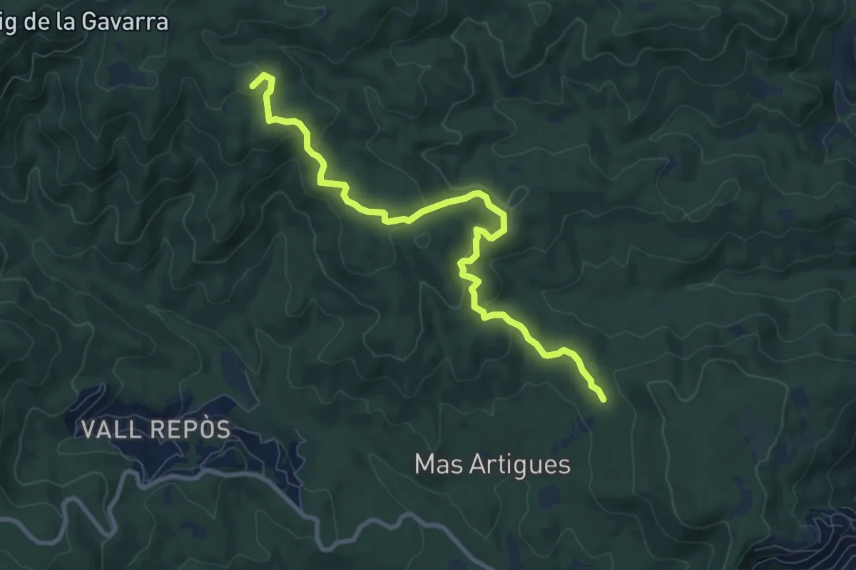
Medium · Summit
Estanyots del Castell
9.5 km · ↑ 300 m · 2 h 54 min · 14 km away
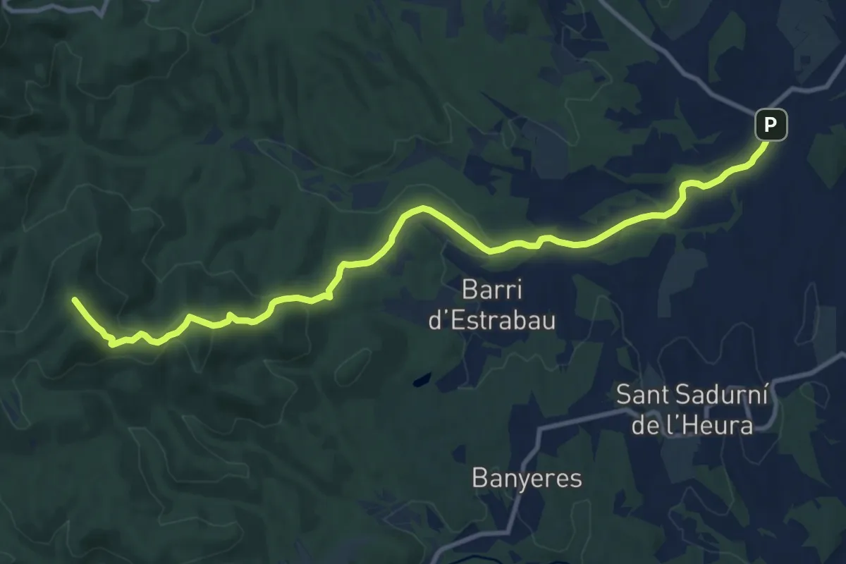
Medium · Summit
Monells - Quart
12.6 km · ↑ 342 m · 3 h 43 min · 14 km away
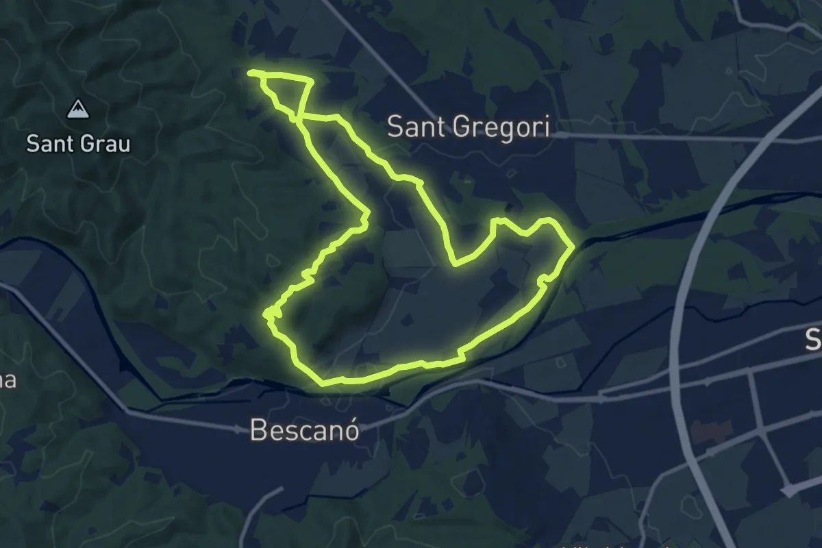
Medium · Trail
Les fonts naturals de Sant Gregori
11.5 km · ↑ 109 m · 3 h 7 min · 14 km away
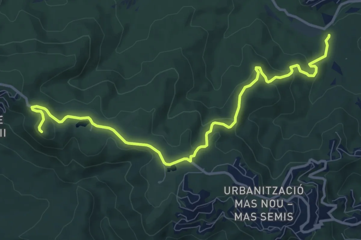
Medium · Summit
Santa Maria de Fenals
10.9 km · ↑ 353 m · 3 h 20 min · 15 km away