Trails near Castellar del Vallès
37 hikes starting within 15 km, nearest first.
Nearest first
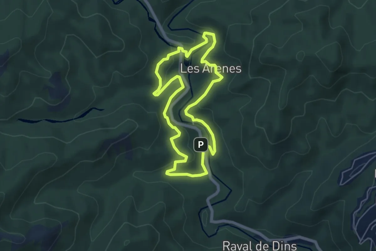
Medium · Trail
Camí de les Arenes
4.8 km · ↑ 164 m · 1 h 33 min · 4 km away
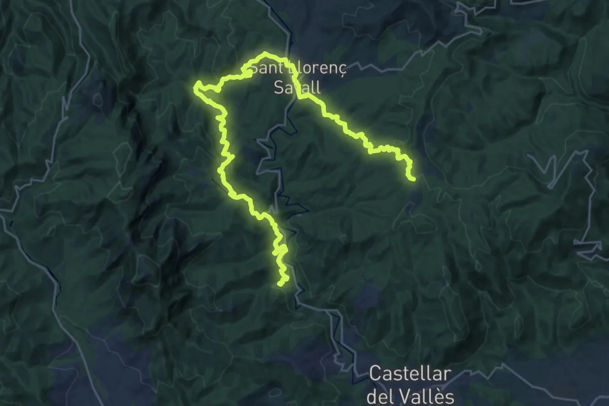
Demanding · Summit
Vallès Natural. Variant de Sant Llorenç Savall
31.9 km · ↑ 1040 m · 9 h 47 min · 4 km away
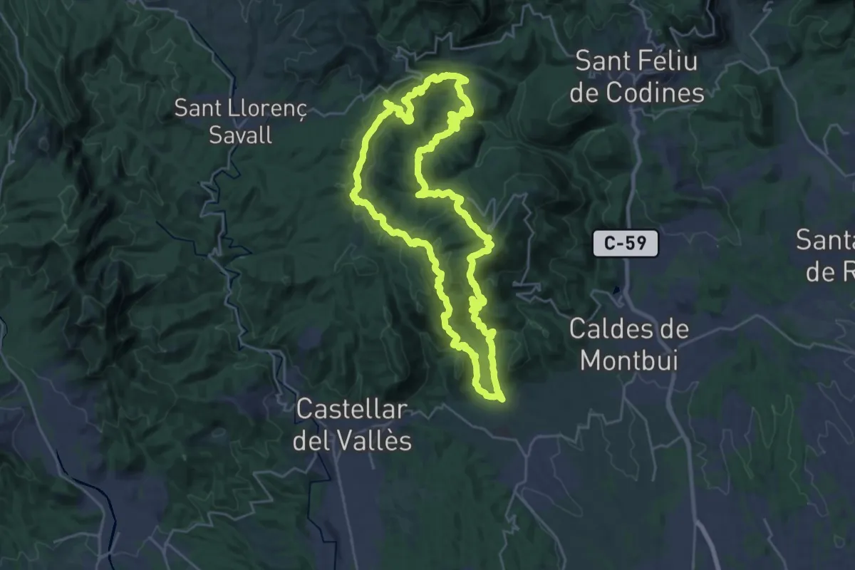
Demanding · Summit
Circular de Sentmenat
25.5 km · ↑ 1053 m · 8 h 39 min · 4 km away
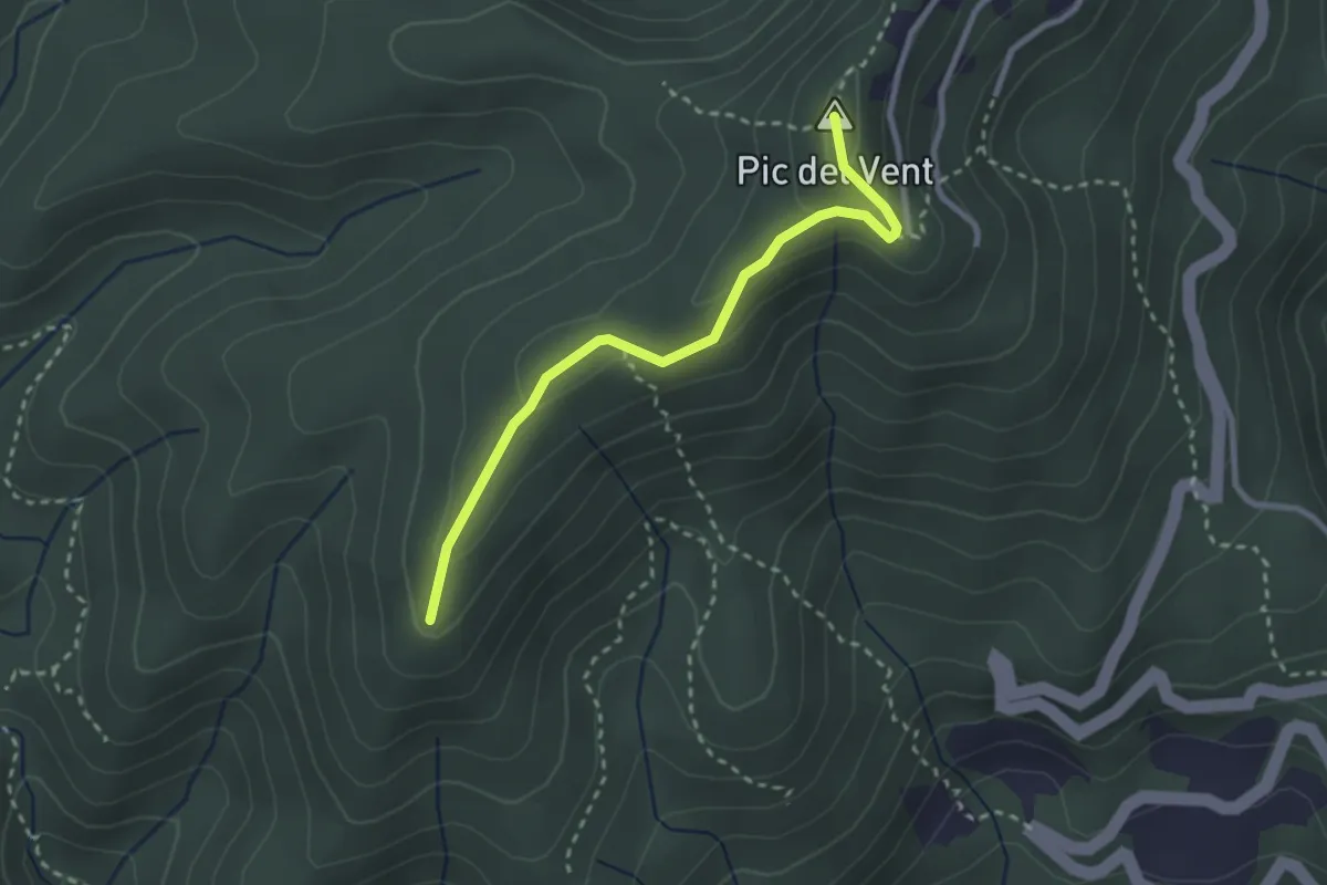
Medium · Summit
Caldes de Montbui
2.9 km · ↑ 126 m · 57 min · 4 km away
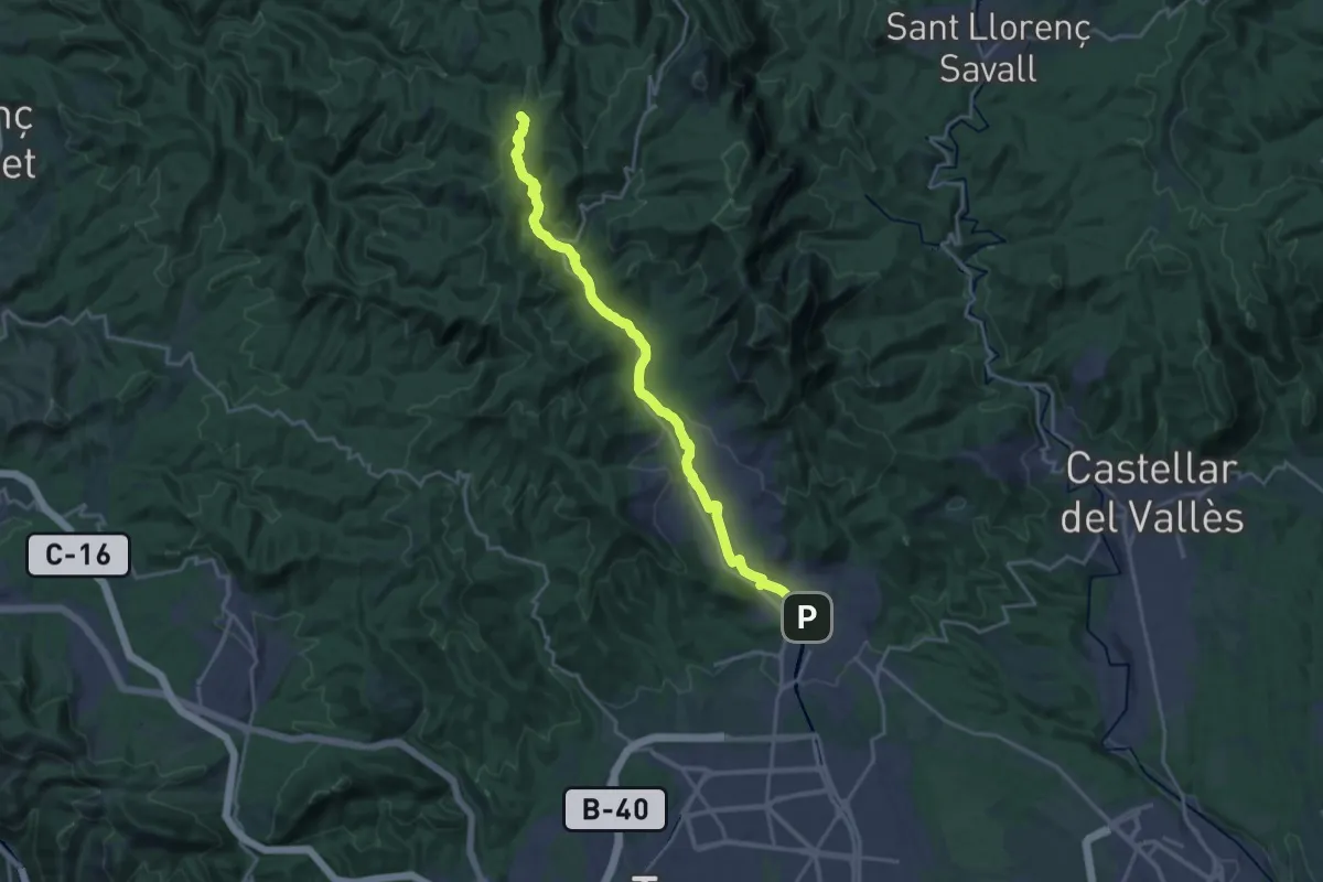
Demanding · Summit
Camí ramader del Vallès
21.0 km · ↑ 583 m · 6 h 13 min · 6 km away
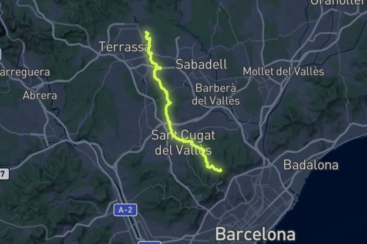
Demanding · Summit
Senders del 1714 - Etapa 02
47.2 km · ↑ 834 m · 12 h 57 min · 6 km away
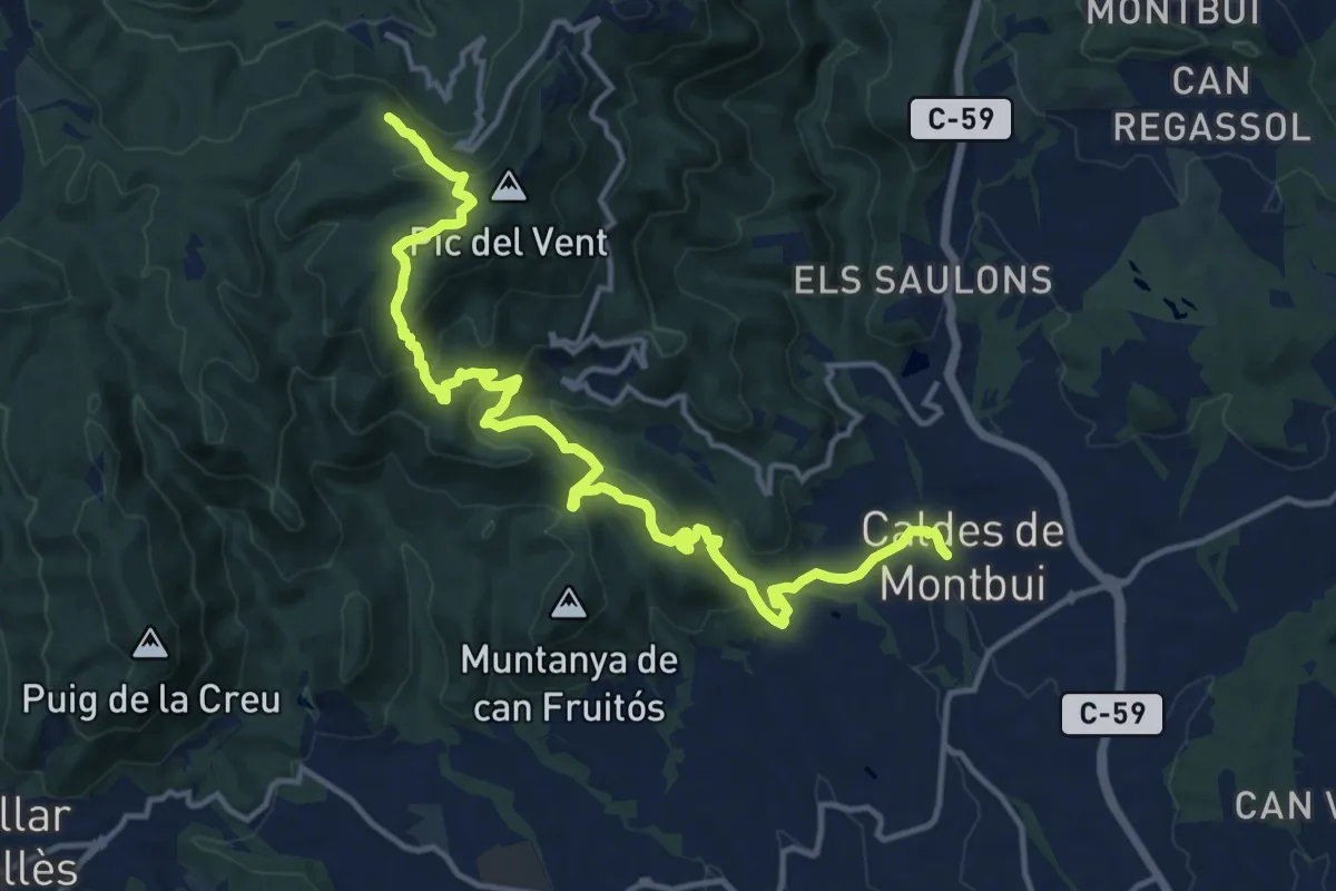
Medium · Summit
Sender de Caldes de Montbui
17.6 km · ↑ 743 m · 5 h 46 min · 6 km away
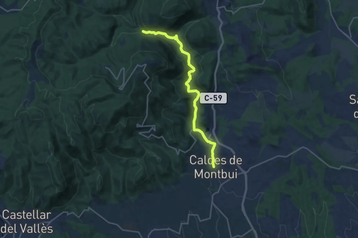
Medium · Trail
Sender de Caldes de Montbui
13.9 km · ↑ 294 m · 3 h 55 min · 6 km away
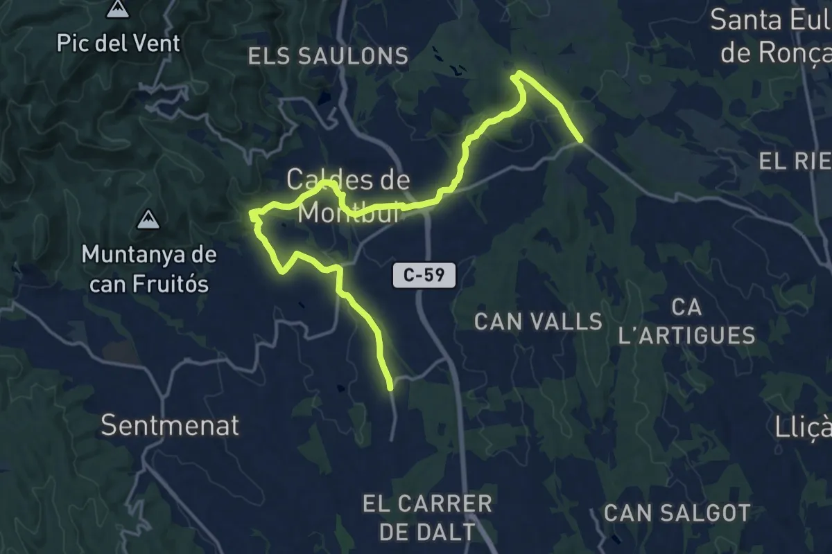
Demanding · Trail
De la Tordera al Llobregat. Variant Torre Marimon
19.6 km · ↑ 405 m · 5 h 31 min · 7 km away
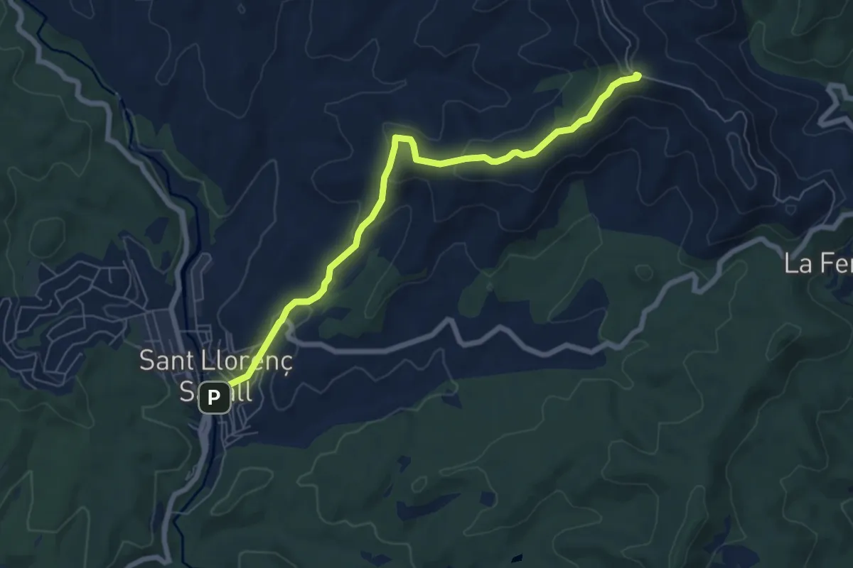
Easy · Trail
Sender de Sant Llorenç Savall
7.3 km · ↑ 274 m · 2 h 19 min · 7 km away
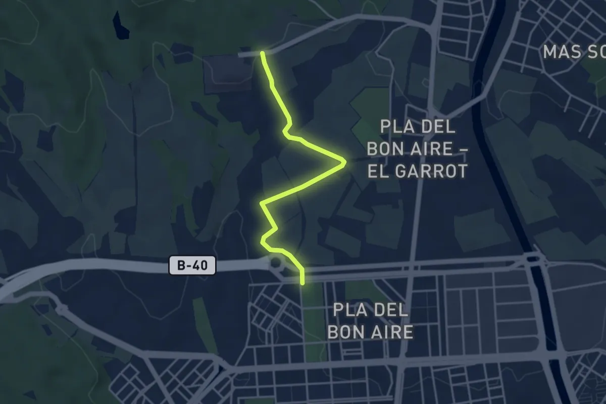
Easy · Trail
Camí de Can Carbonell
3.8 km · ↑ 57 m · 1 h 1 min · 7 km away
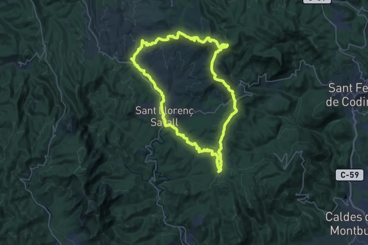
Demanding · Summit
Sender de Sant Llorenç Savall
23.4 km · ↑ 614 m · 7 h 11 min · 8 km away
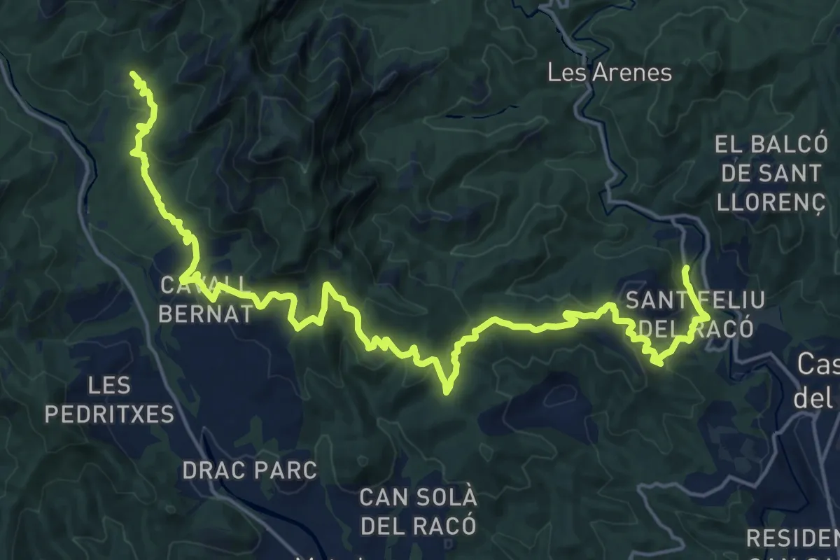
Medium · Trail
Camí Moliner
13.1 km · ↑ 288 m · 4 h 5 min · 8 km away
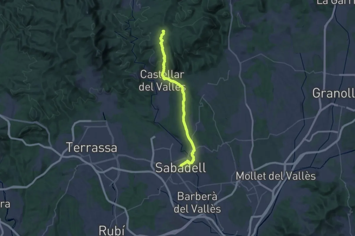
Demanding · Summit
de Sant Nicolau a Sant Llorenç Savall
32.3 km · ↑ 700 m · 9 h 9 min · 8 km away
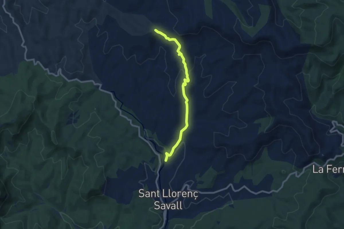
Easy · Trail
Sender de Sant Llorenç Savall
7.4 km · ↑ 202 m · 2 h 11 min · 8 km away
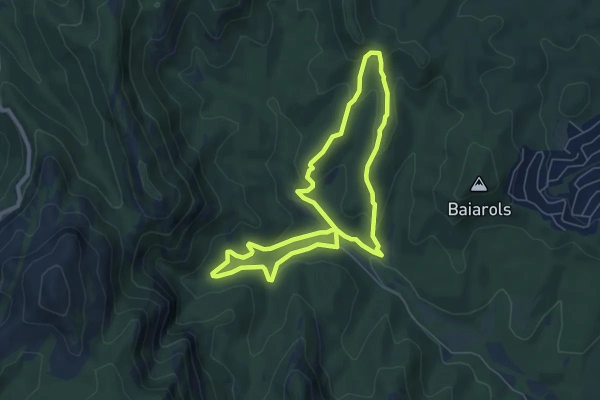
Medium · Trail
Sender del Castell de Pera
5.6 km · ↑ 232 m · 1 h 54 min · 9 km away
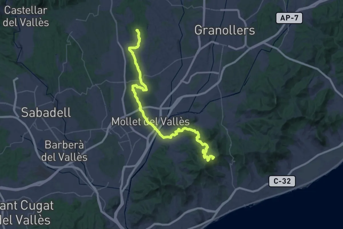
Demanding · Summit
De la Tordera al Llobregat. Variant Palaudaries - Alella
45.5 km · ↑ 1125 m · 13 h 11 min · 9 km away
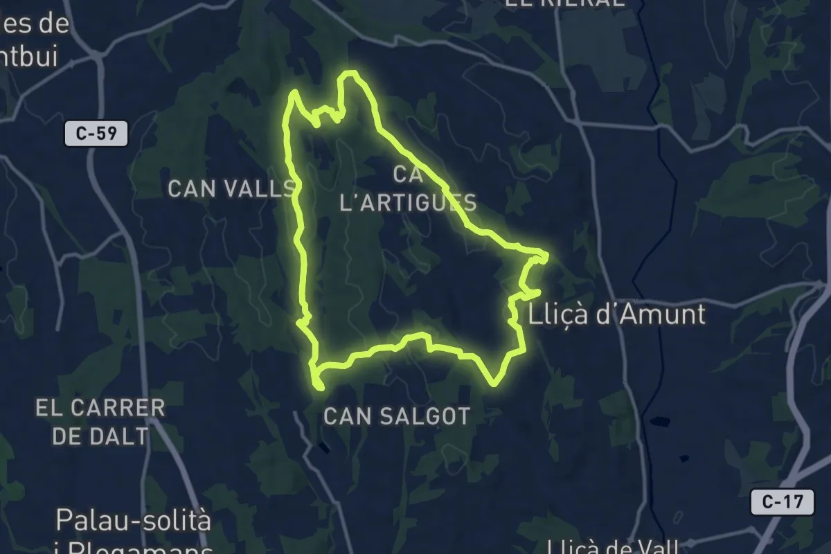
Medium · Trail
Sender de Palaudàries
12.7 km · ↑ 246 m · 3 h 43 min · 10 km away
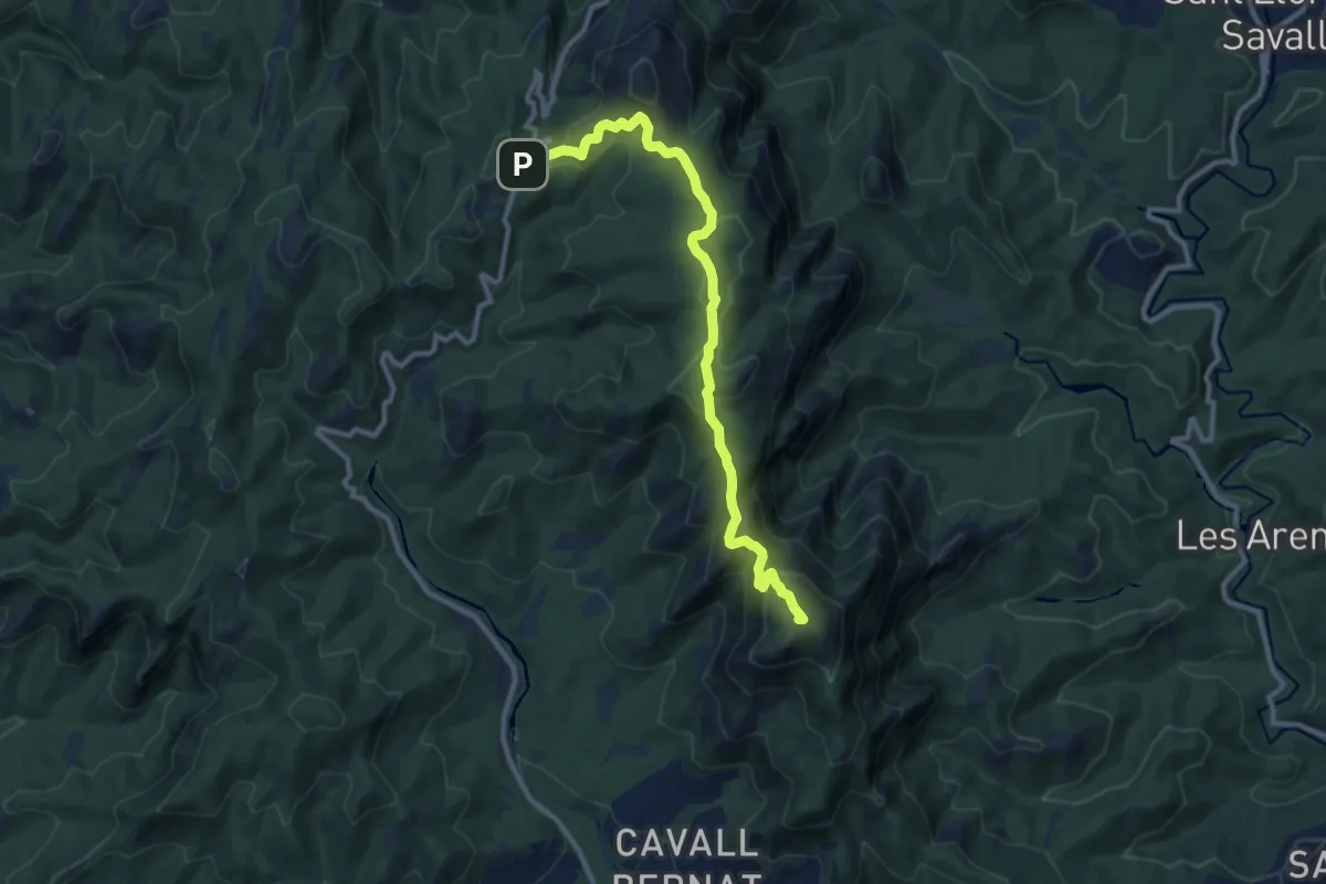
Medium · Summit
A la Mola des de el coll d'Estenalles
11.3 km · ↑ 442 m · 3 h 37 min · 10 km away
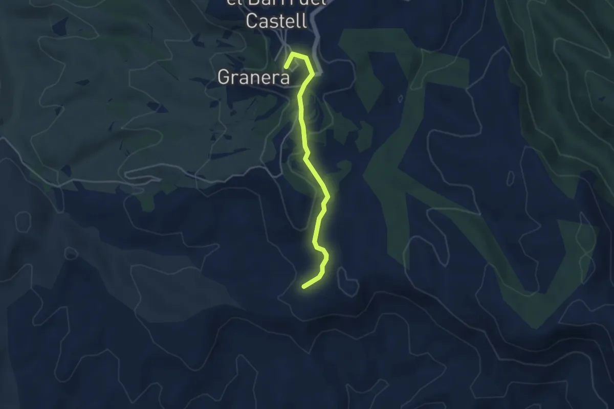
Easy · Summit
Sender de Sant Llorenç Savall
3.8 km · ↑ 79 m · 1 h 4 min · 11 km away
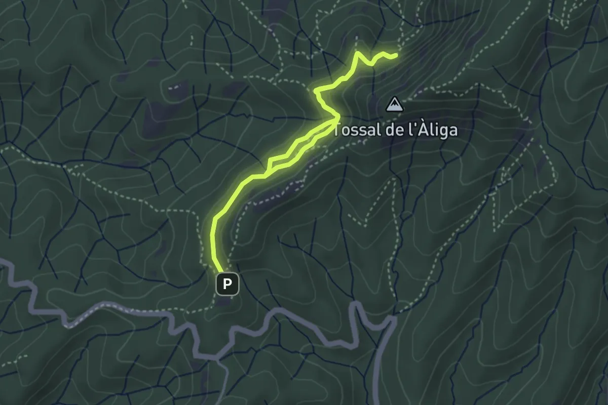
Medium · Summit
La font de la Portella
2.7 km · ↑ 126 m · 57 min · 11 km away
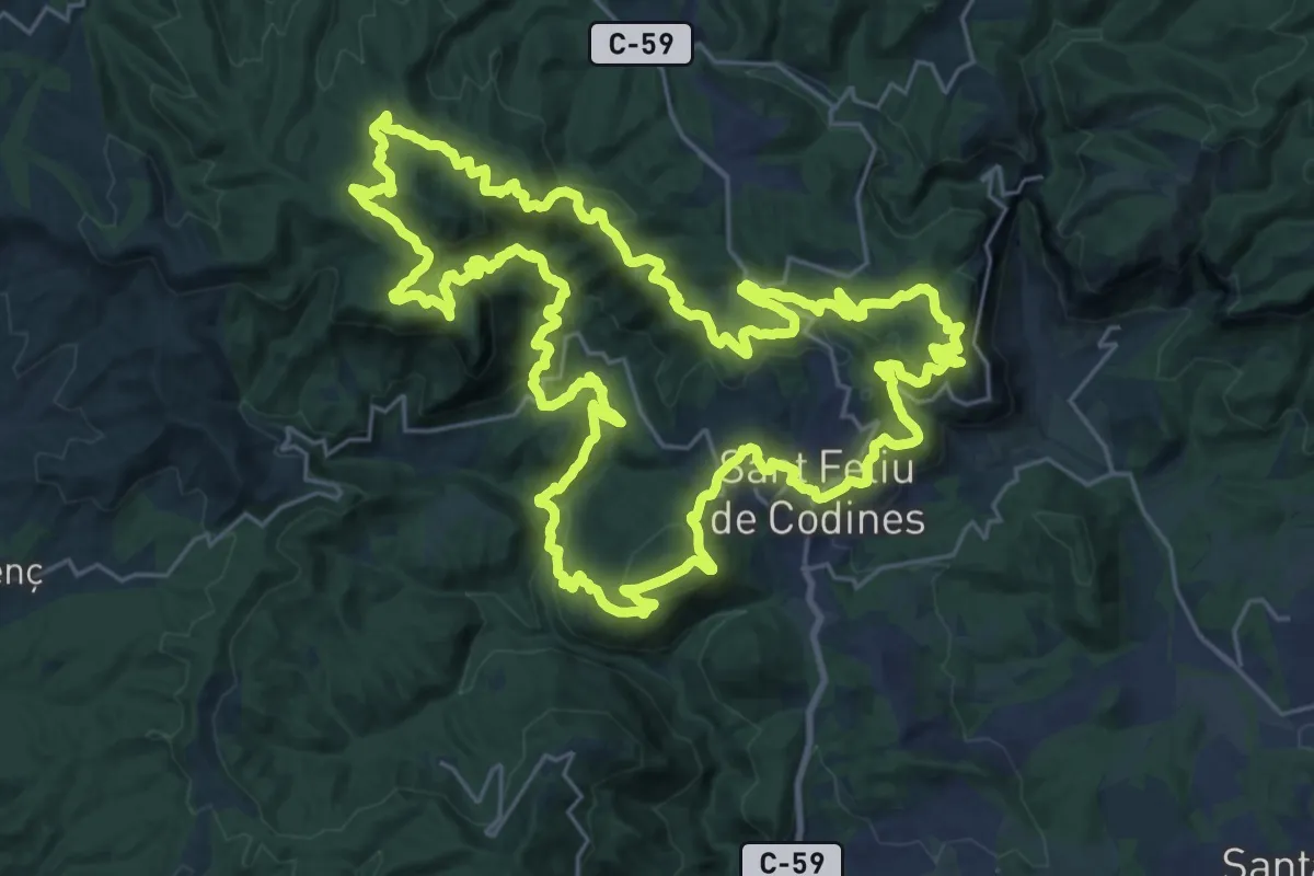
Demanding · Summit
Ronda Codinenca
32.7 km · ↑ 1383 m · 11 h 10 min · 11 km away
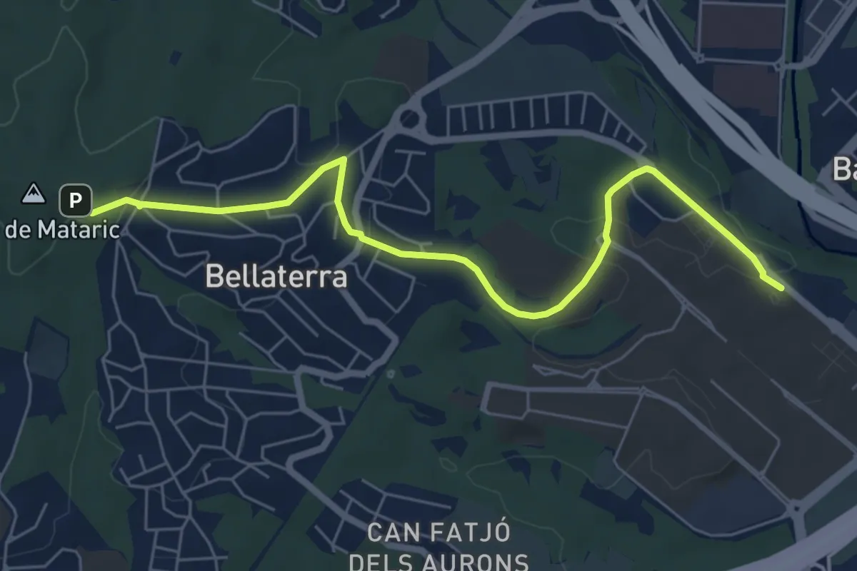
Easy · Trail
Sender del Vallès Natural. Variant Universitat Autònoma
7.2 km · ↑ 158 m · 2 h 2 min · 12 km away
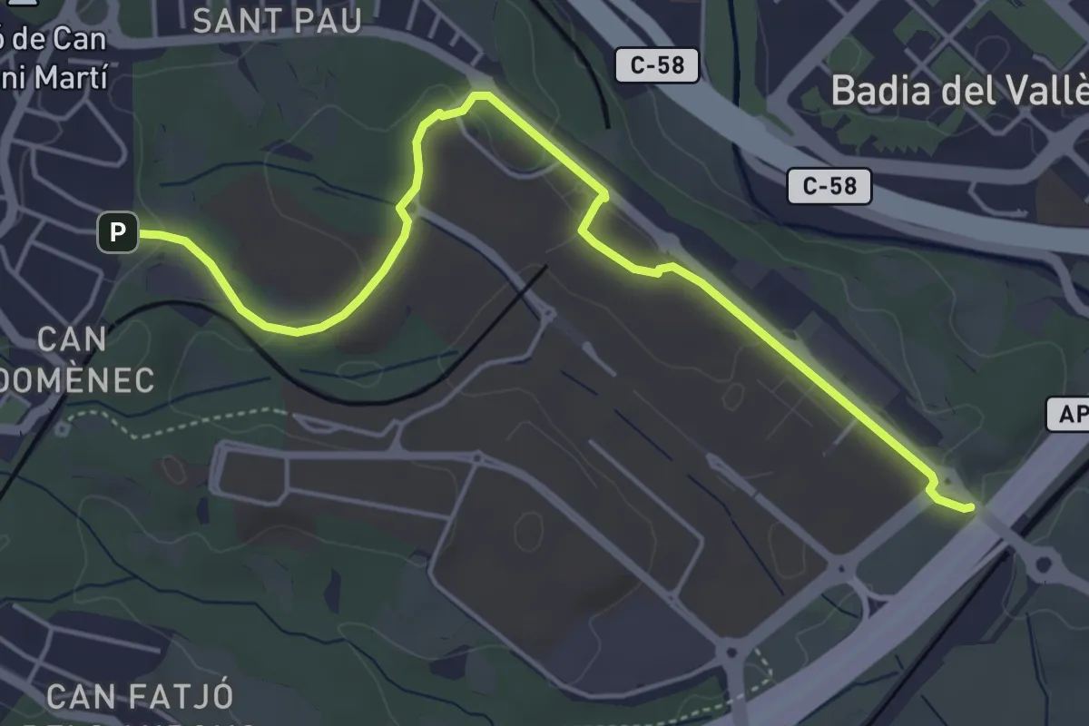
Easy · Trail
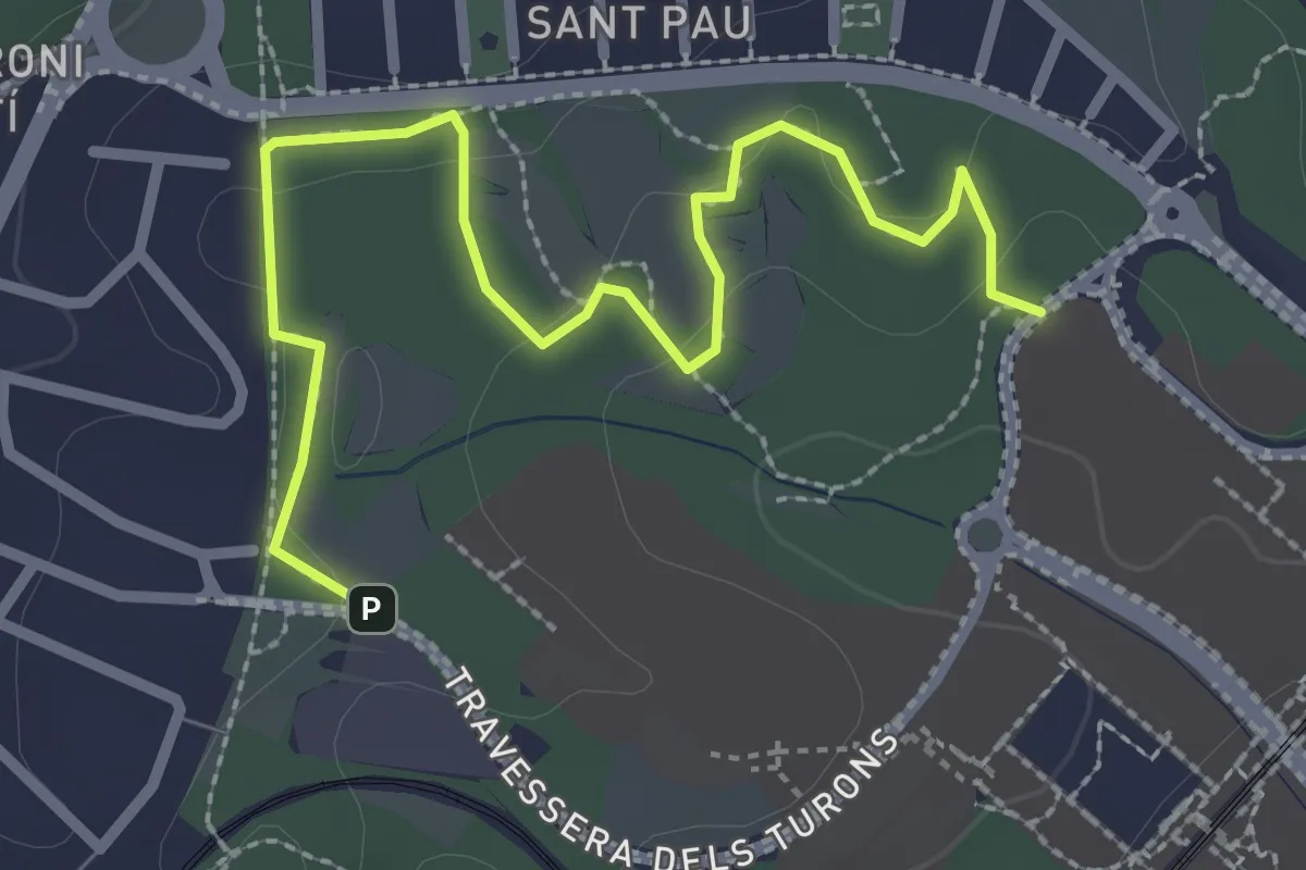
Ruta groga
5.7 km · ↑ 89 m · 1 h 32 min · 13 km away
Easy · Trail
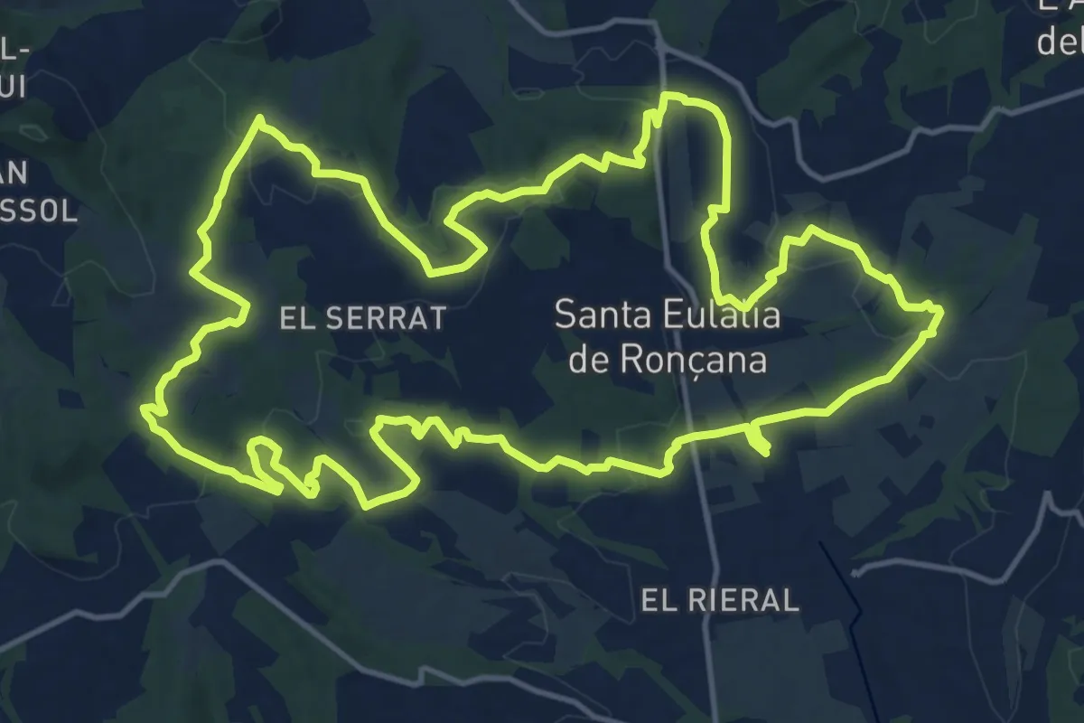
Ruta blava
3.4 km · ↑ 39 m · 54 min · 13 km away
Demanding · Trail
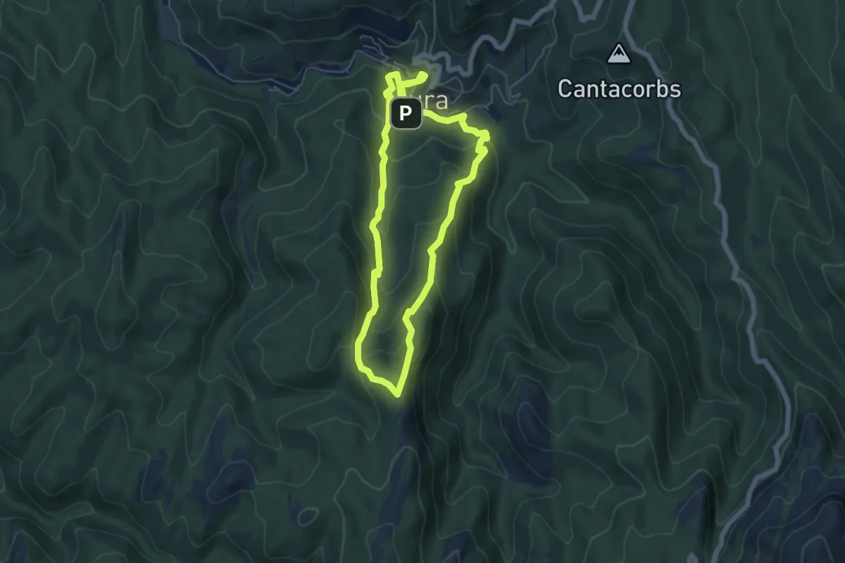
Sender de Santa Eulàlia de Ronçana
18.2 km · ↑ 387 m · 5 h 23 min · 13 km away
Medium · Summit
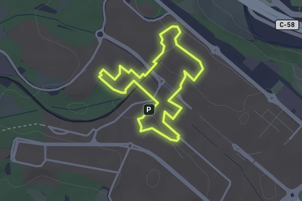
Cova de Mura
5.6 km · ↑ 333 m · 2 h 7 min · 13 km away
Easy · Trail
Ruta magenta
2.6 km · ↑ 36 m · 44 min · 13 km away
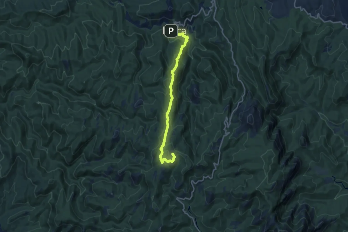
Medium · Summit
Del Coll d'Estenalles a Mura
11.6 km · ↑ 546 m · 3 h 55 min · 13 km away
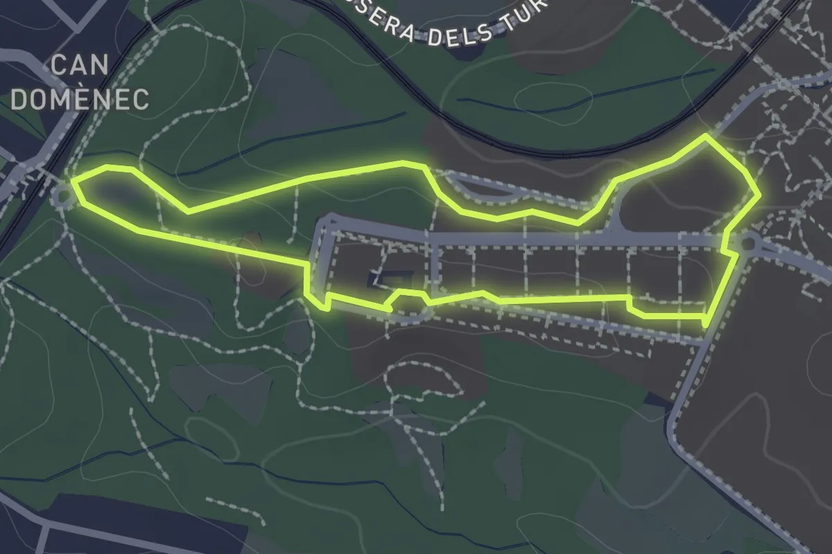
Easy · Trail
Ruta carabassa
2.3 km · ↑ 25 m · 38 min · 13 km away
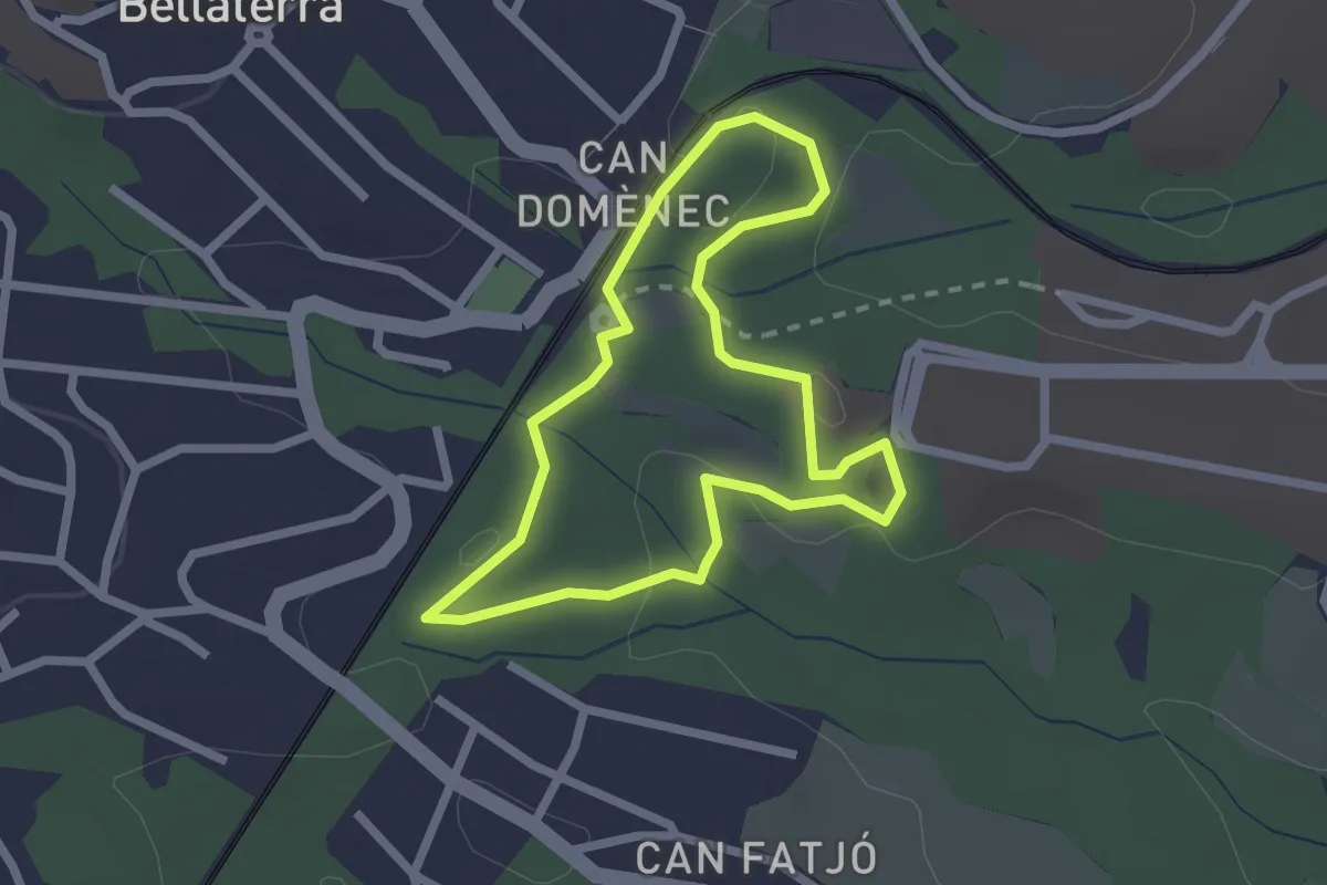
Easy · Trail
Ruta blau cel
2.2 km · ↑ 53 m · 41 min · 13 km away
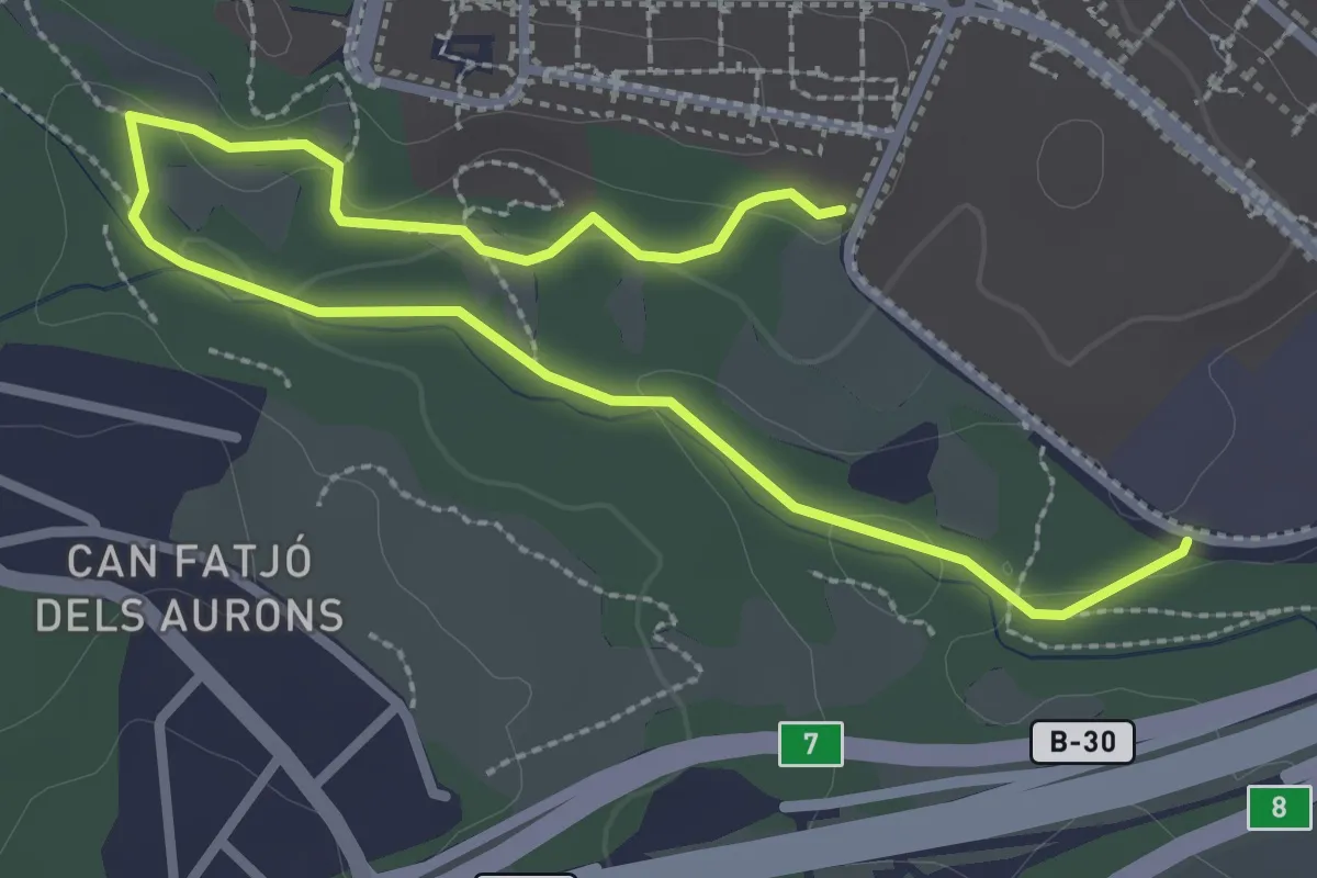
Easy · Trail
Ruta vermella
4.2 km · ↑ 55 m · 1 h 7 min · 13 km away
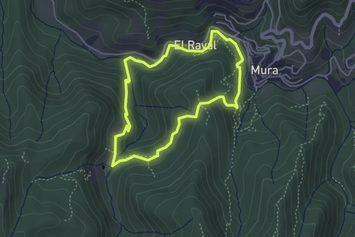
Medium · Summit
Balmes, masies i molins
3.5 km · ↑ 170 m · 1 h 15 min · 14 km away
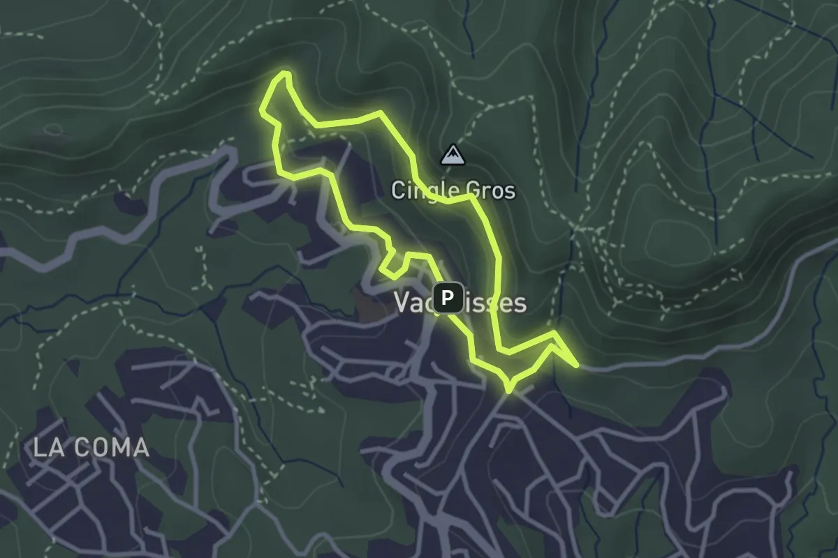
Medium · Summit
el Camí de l'Aigua
2.9 km · ↑ 151 m · 1 h 3 min · 14 km away
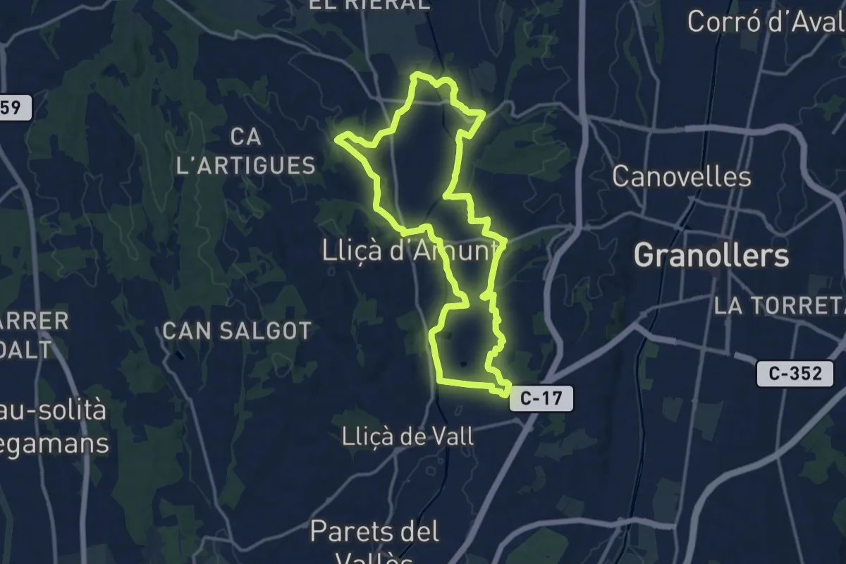
Medium · Trail
Lliçà d'Amunt
14.1 km · ↑ 171 m · 3 h 53 min · 14 km away
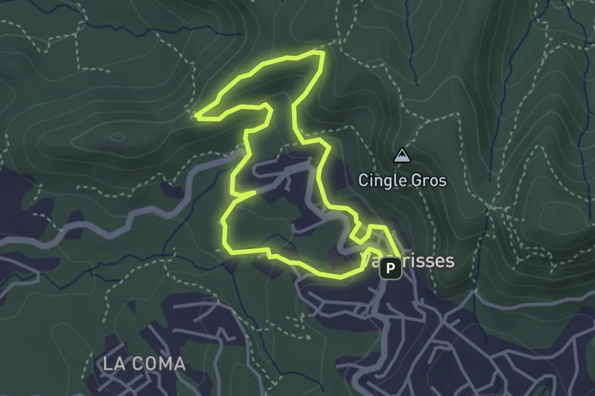
Medium · Summit
la Torrota de Vacarisses
3.3 km · ↑ 142 m · 1 h 8 min · 14 km away
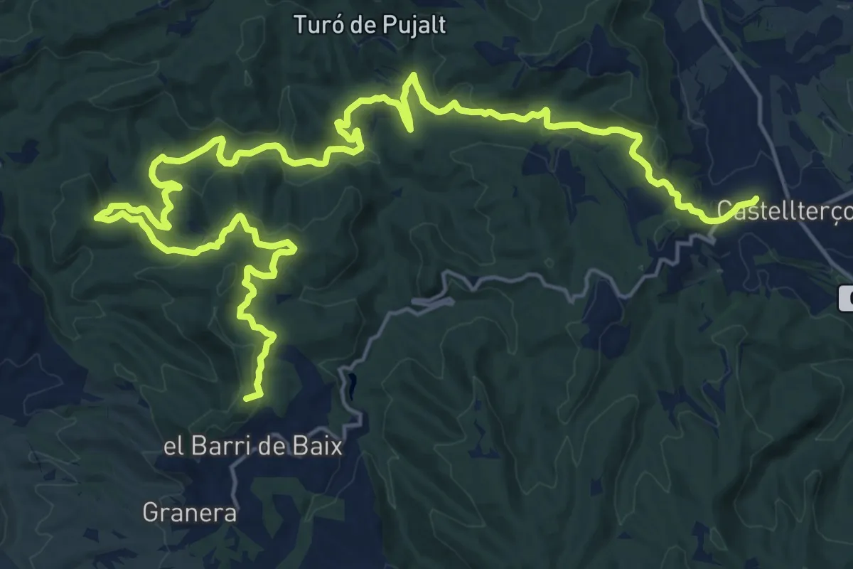
Demanding · Summit
GR 177 Ronda del Moianès - Etapa 3
30.3 km · ↑ 991 m · 9 h 18 min · 15 km away