Trails near el Pont de Suert
27 hikes starting within 15 km, nearest first.
Nearest first
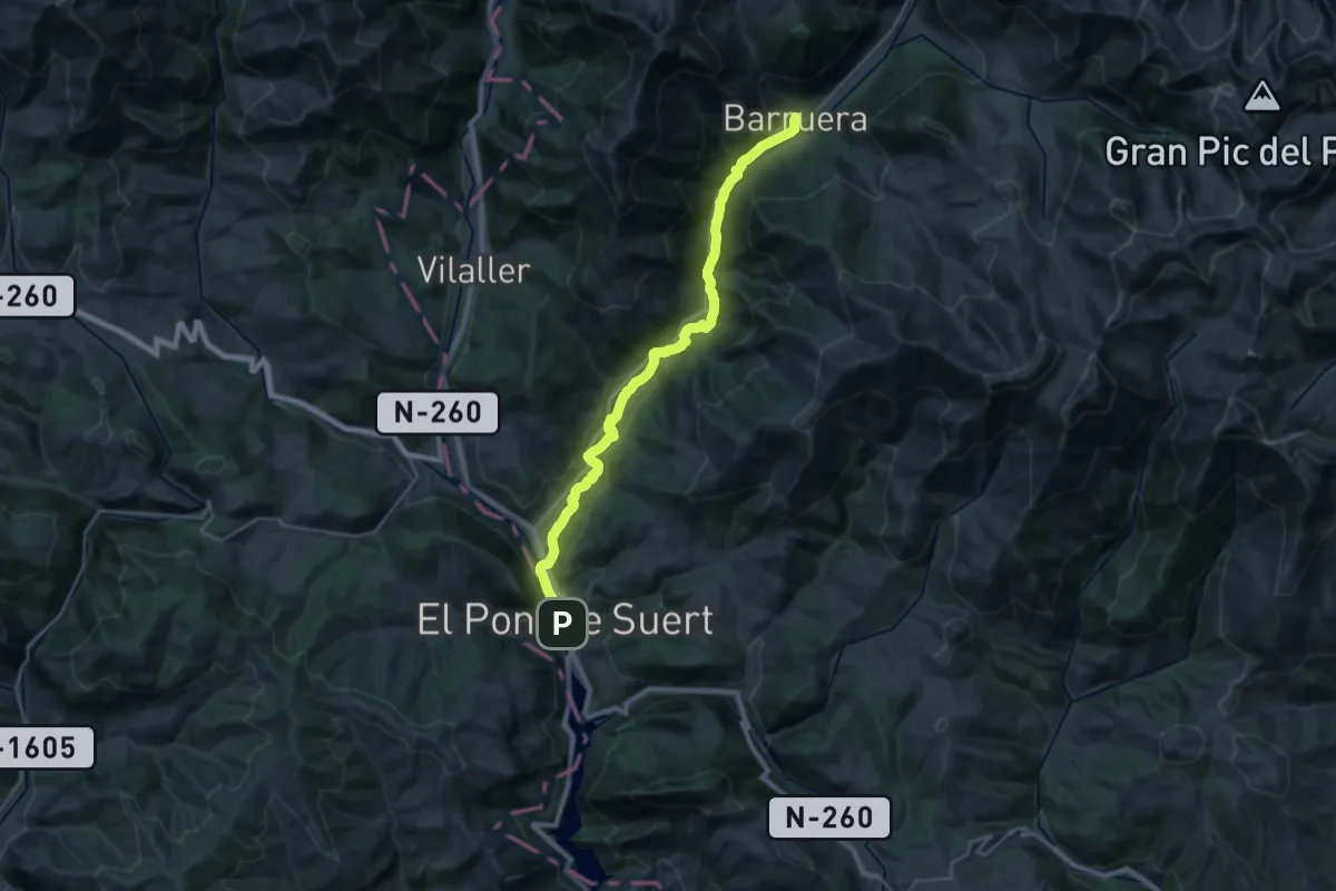
Medium · Trail
Ramat de Camins. Etapa 15 : Barruera => El Pont de Suert
14.7 km · ↑ 481 m · 4 h 35 min · under 1 km away
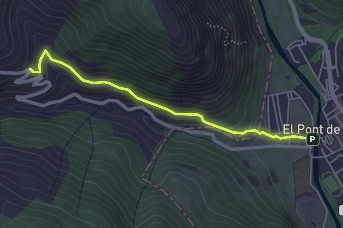
Easy · Trail
Etapa 1: Pont de Suert – Bonansa – San Feliu de Veri
4.1 km · ↑ 253 m · 1 h 31 min · under 1 km away
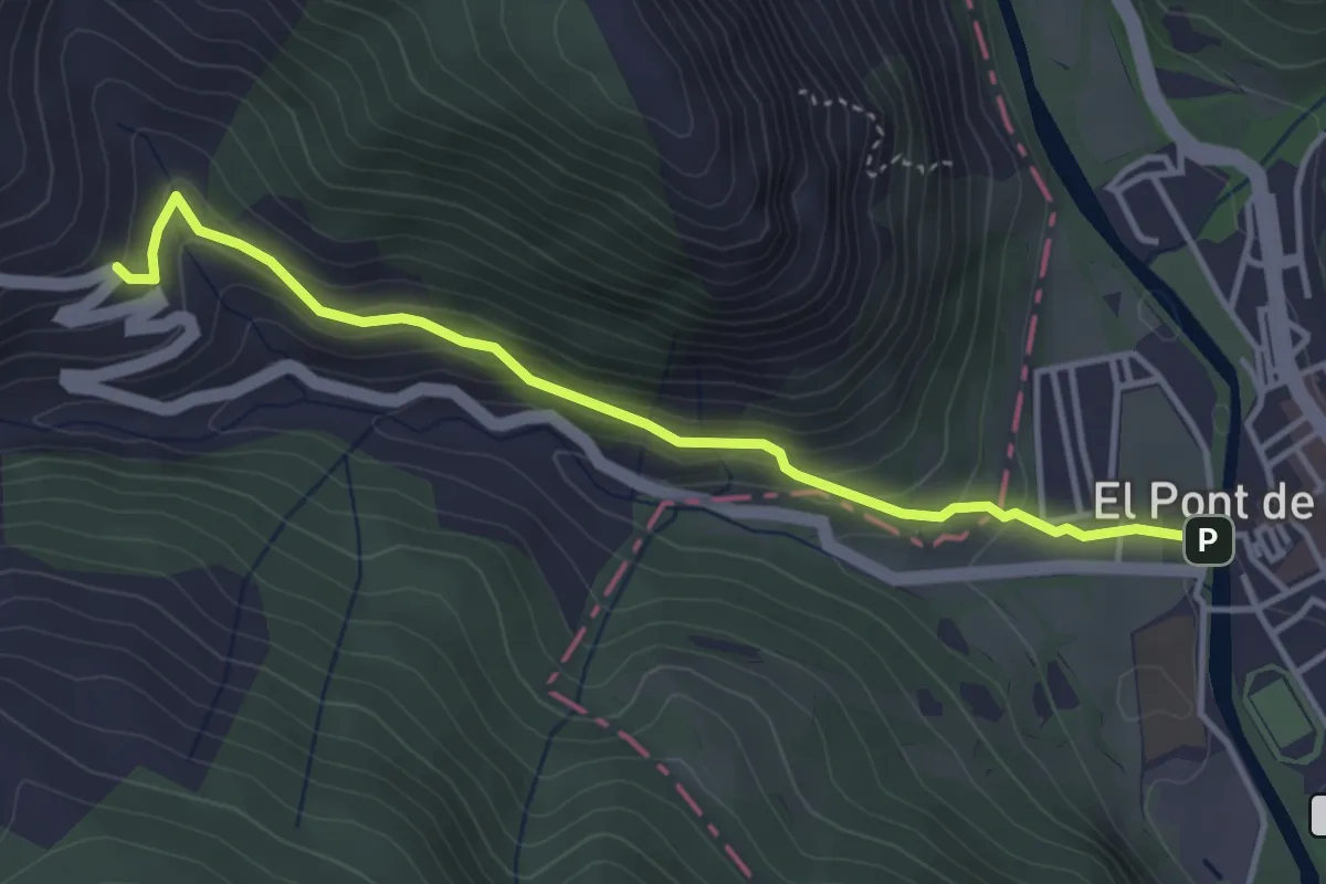
Easy · Trail
Ruta 3 Valls. Etapa 4: Castanesa => El Pont de Suert
4.1 km · ↑ 253 m · 1 h 31 min · under 1 km away
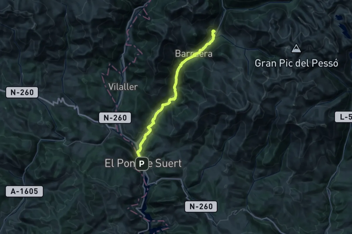
Demanding · Trail
Ruta 3 Valls. Etapa 1: El Pont de Suert => Erill la Vall
18.7 km · ↑ 621 m · 5 h 48 min · under 1 km away
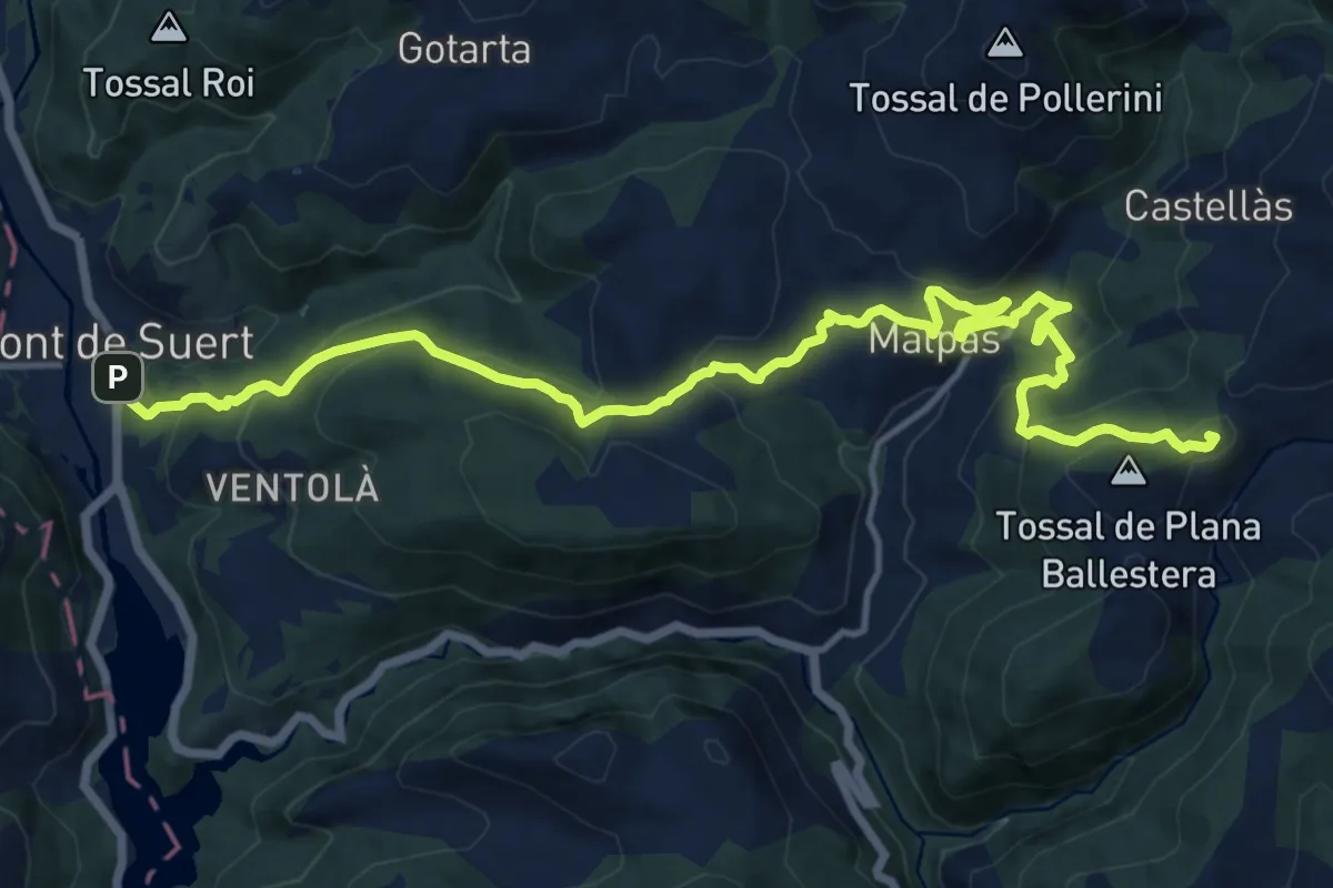
Demanding · Summit
GR 3 Sender Central de Catalunya - Etapa 12
17.9 km · ↑ 1006 m · 6 h 25 min · under 1 km away
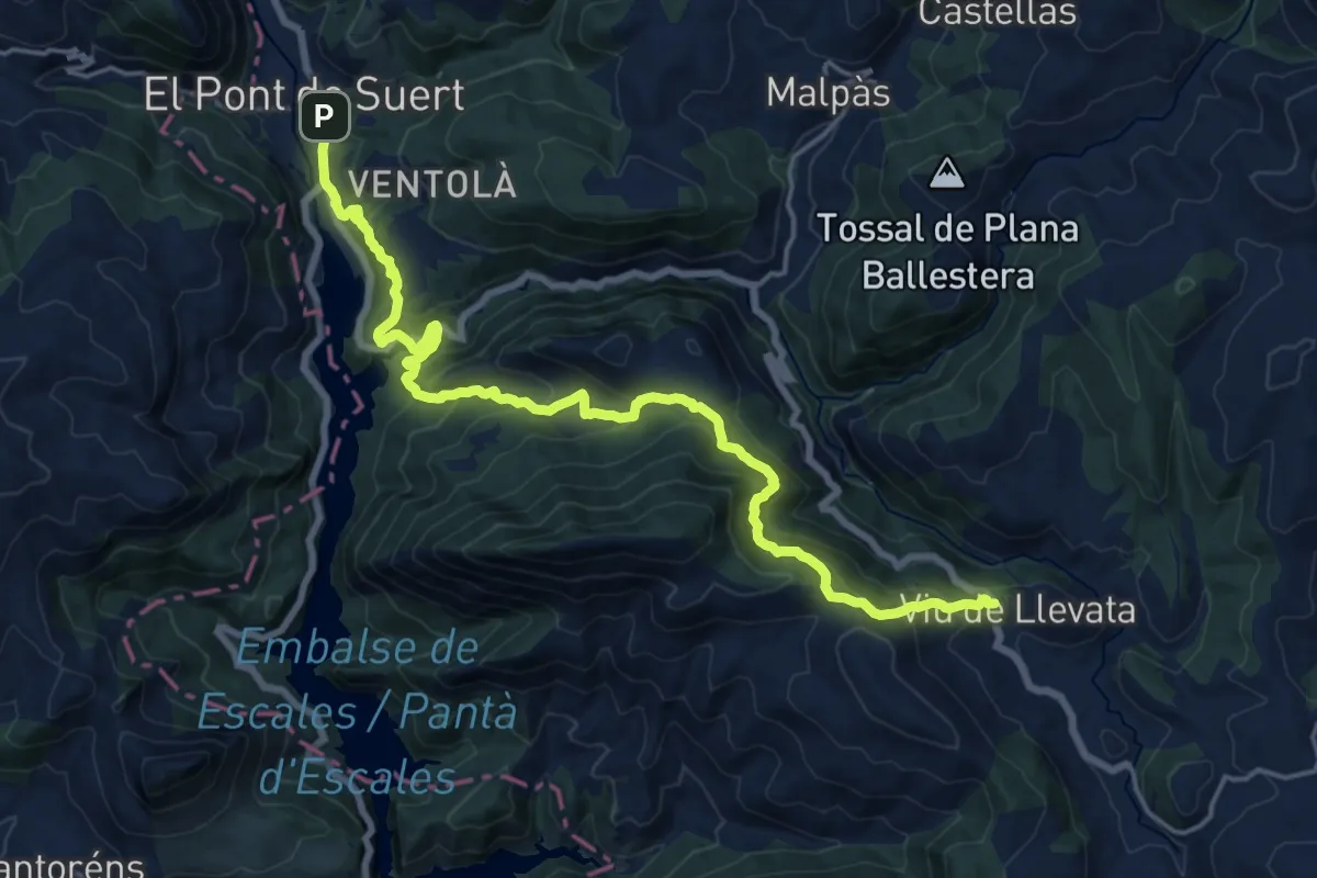
Demanding · Trail
GR 3 Sender Central de Catalunya - Etapa 11
21.4 km · ↑ 1235 m · 7 h 44 min · under 1 km away
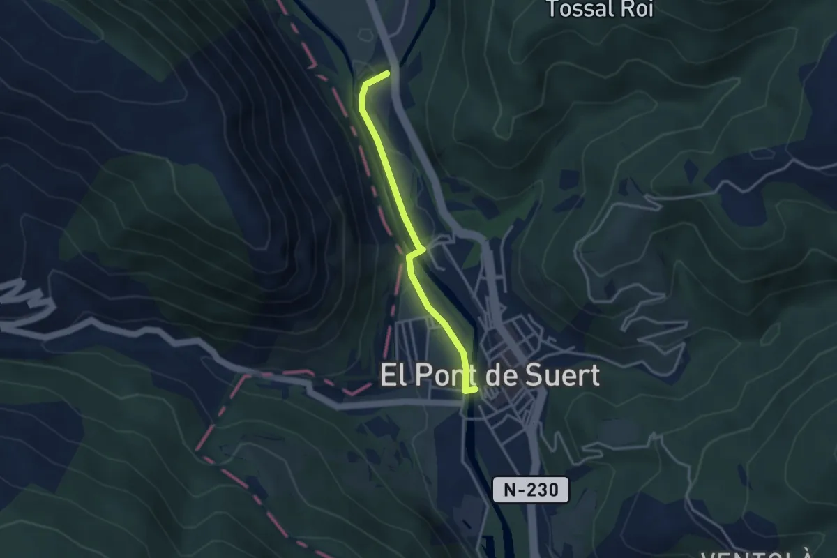
Easy · Trail
Via Calda
3.0 km · ↑ 22 m · 46 min · 1 km away
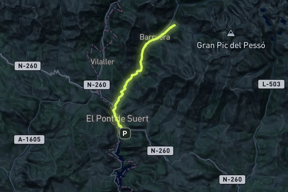
Demanding · Summit
Camí de l'Aigua
42.7 km · ↑ 1088 m · 12 h 26 min · 2 km away
Medium · Summit
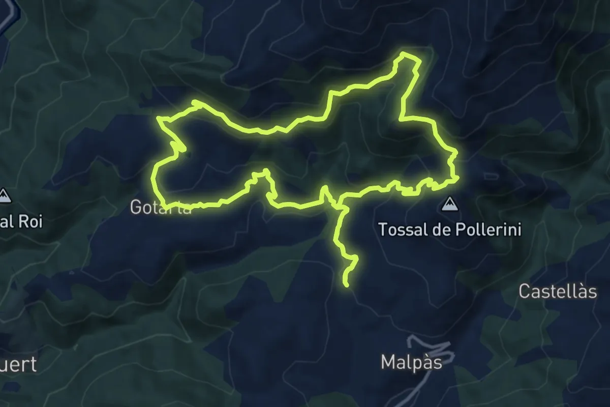
Els Barons d'Erill
12.6 km · ↑ 641 m · 4 h 33 min · 5 km away
Easy · Trail
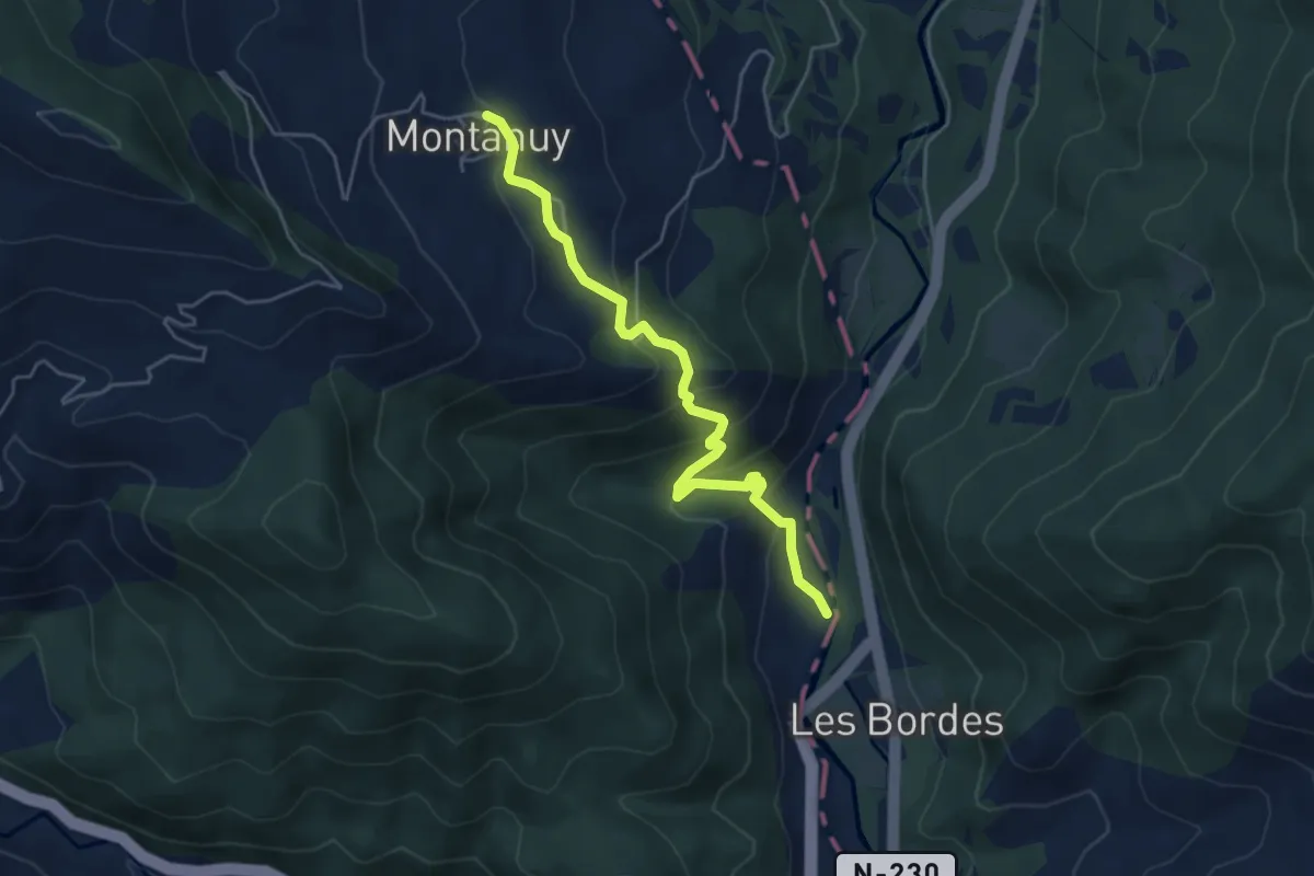
Camino del Correo
5.3 km · ↑ 291 m · 1 h 53 min · 7 km away
Medium · Trail
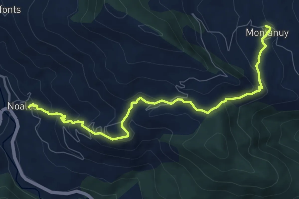
Noales - Escané - Montanuy
8.4 km · ↑ 461 m · 2 h 59 min · 7 km away
Medium · Trail
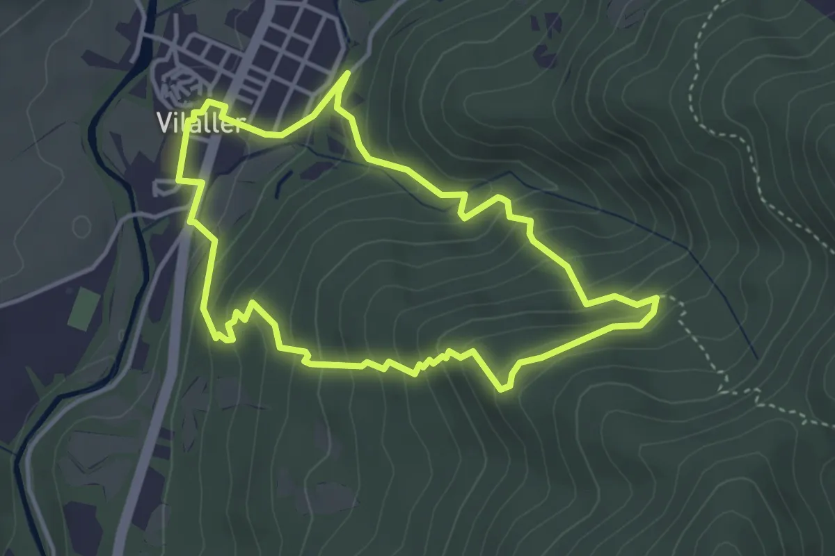
Els Carantos de Vilaller
3.9 km · ↑ 261 m · 1 h 32 min · 8 km away
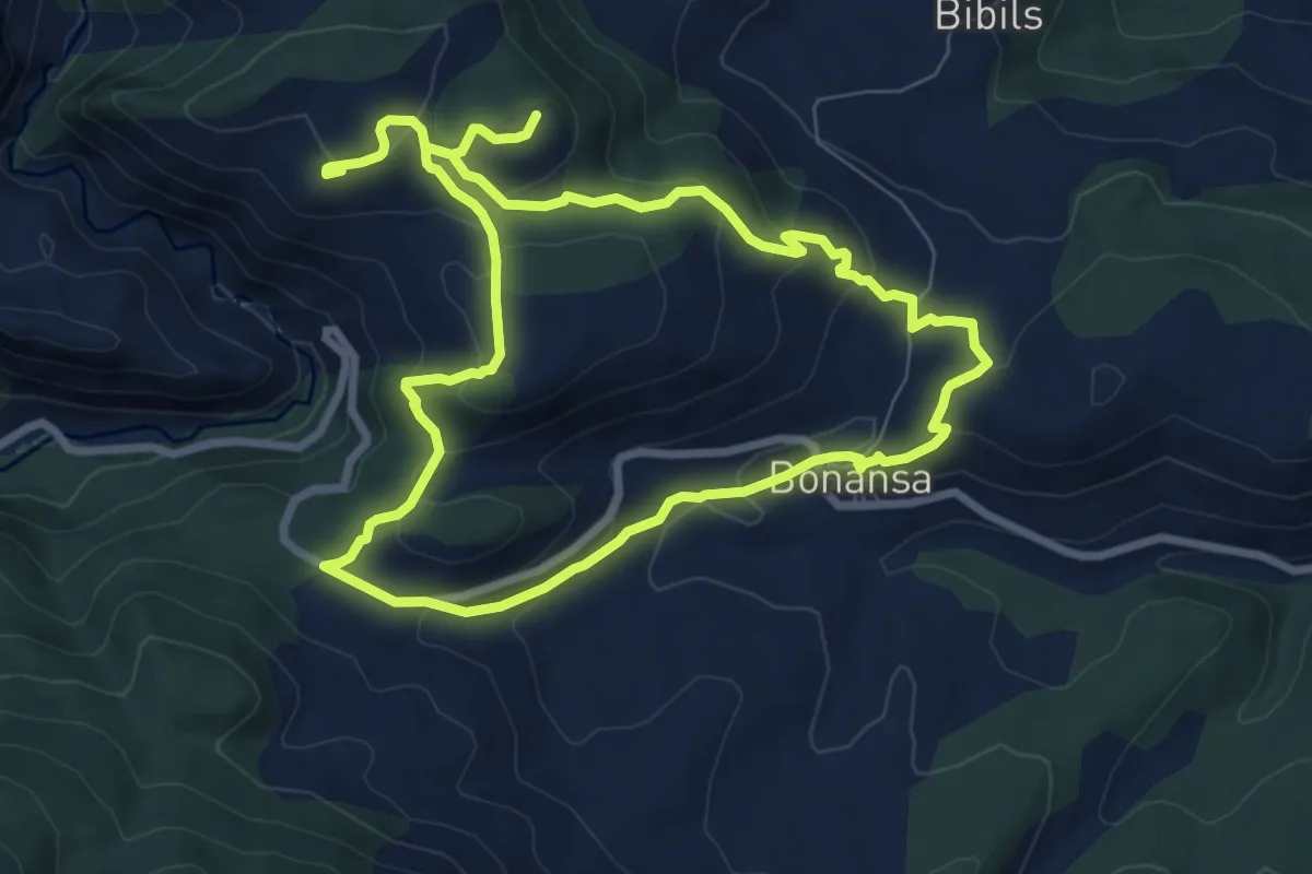
Medium · Trail
Ruta de las ermitas de Bonansa
8.1 km · ↑ 344 m · 2 h 46 min · 8 km away
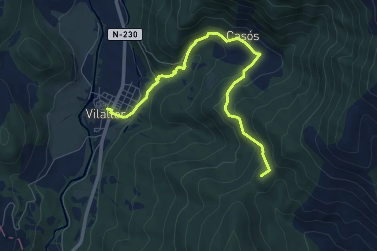
Medium · Summit
Coll de Serreres, Vilaller
7.6 km · ↑ 505 m · 2 h 54 min · 8 km away
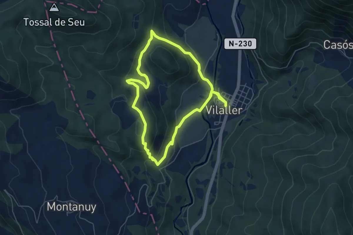
Easy · Trail
Vilaller, ruta gormanda
5.5 km · ↑ 238 m · 1 h 52 min · 8 km away
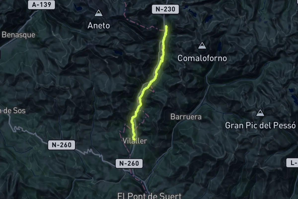
Demanding · Cabin
Via Aran - Pirineus
19.1 km · ↑ 881 m · 6 h 23 min · 8 km away
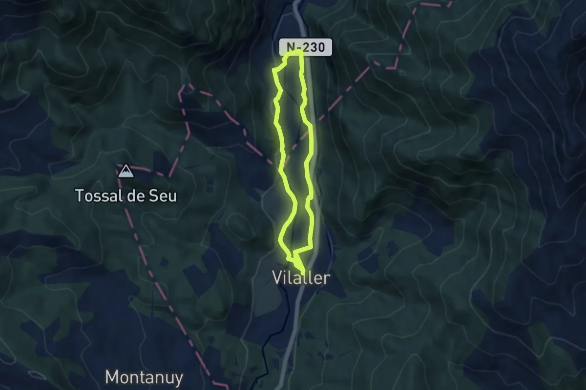
Easy · Trail
Vall de Barravés
6.2 km · ↑ 81 m · 1 h 42 min · 8 km away
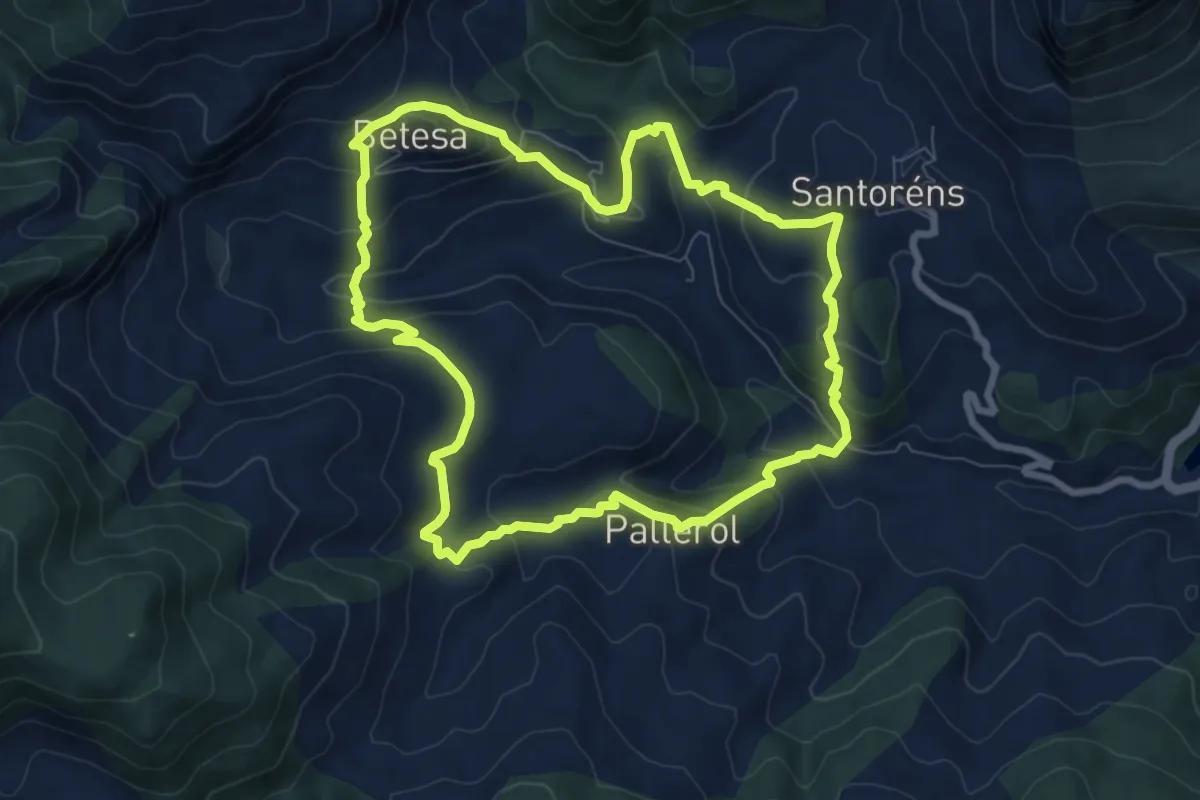
Medium · Trail
Betesa - Santorens - Pallerol - Betesa
8.3 km · ↑ 490 m · 3 h 8 min · 8 km away
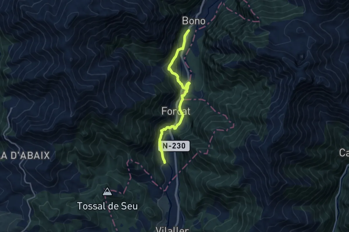
Medium · Trail
Ginaste - Viñals - Estet - Bono
11.7 km · ↑ 421 m · 3 h 40 min · 10 km away
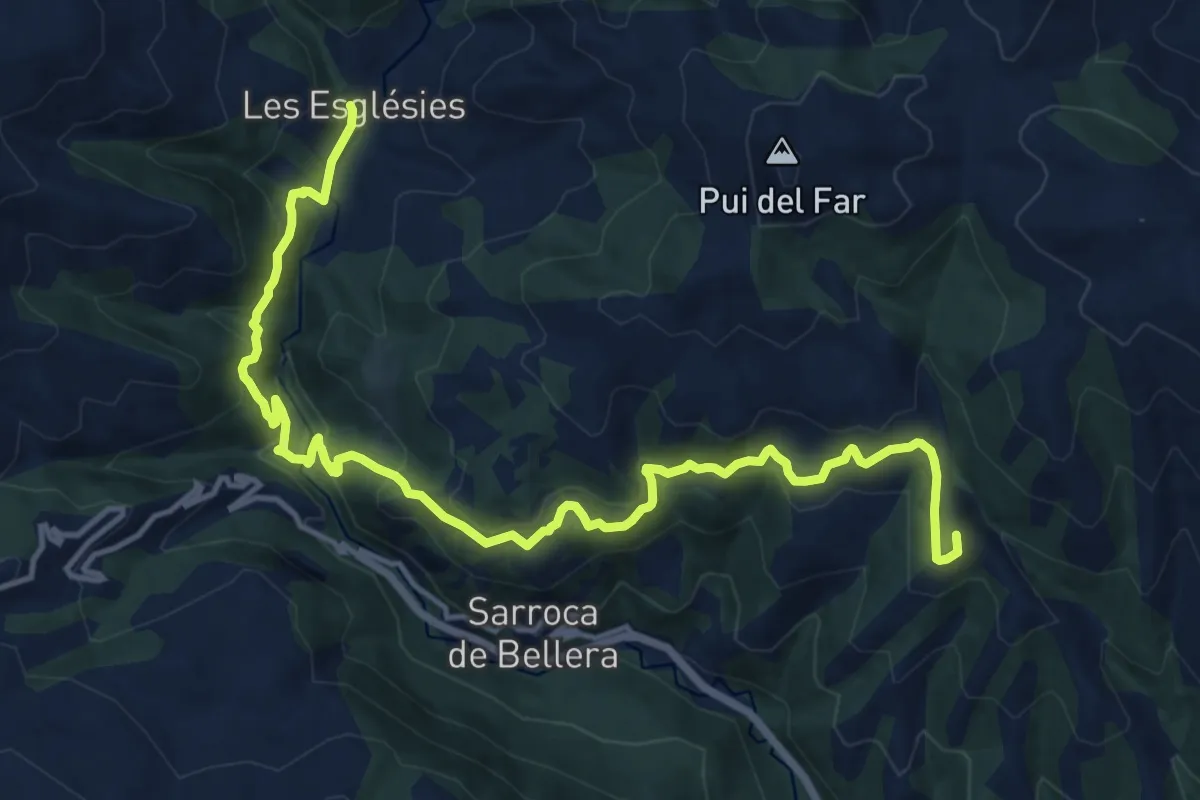
Demanding · Summit
GR 3 Sender Central de Catalunya - Etapa 13
17.5 km · ↑ 841 m · 5 h 58 min · 11 km away
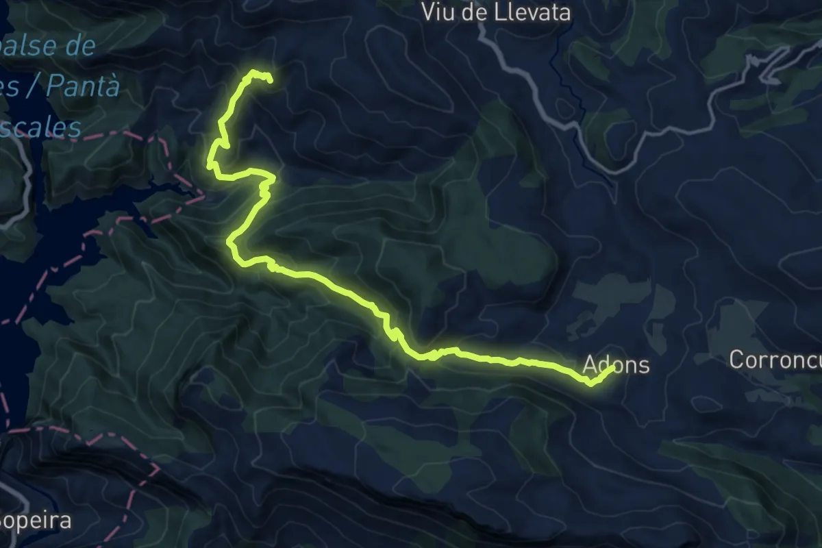
Demanding · Summit
Colls de Sant Roc. Adons
19.0 km · ↑ 1236 m · 7 h 10 min · 11 km away
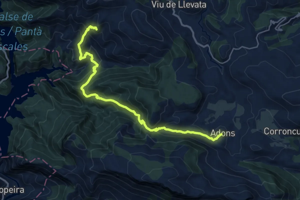
Demanding · Summit
GR 3 Sender Central de Catalunya - Etapa 10
18.6 km · ↑ 1192 m · 6 h 59 min · 11 km away
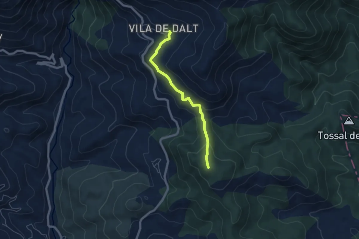
Easy · Summit
Camino de la Cabañera
4.7 km · ↑ 200 m · 1 h 32 min · 12 km away
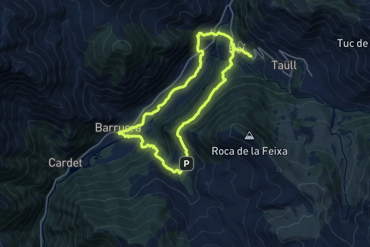
Medium · Summit
Ruta del Romànic Vall de Boí
12.0 km · ↑ 548 m · 4 h 11 min · 12 km away
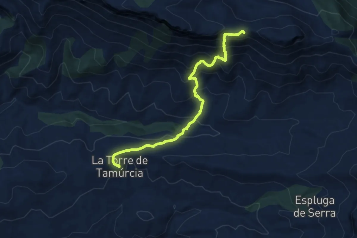
Demanding · Summit
GR 3 Sender Central de Catalunya - Etapa 09
10.5 km · ↑ 885 m · 4 h 24 min · 14 km away
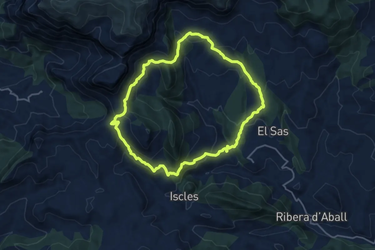
Medium · Cabin
Hostalet - Puimolar - Hostalet
11.8 km · ↑ 605 m · 4 h 16 min · 14 km away
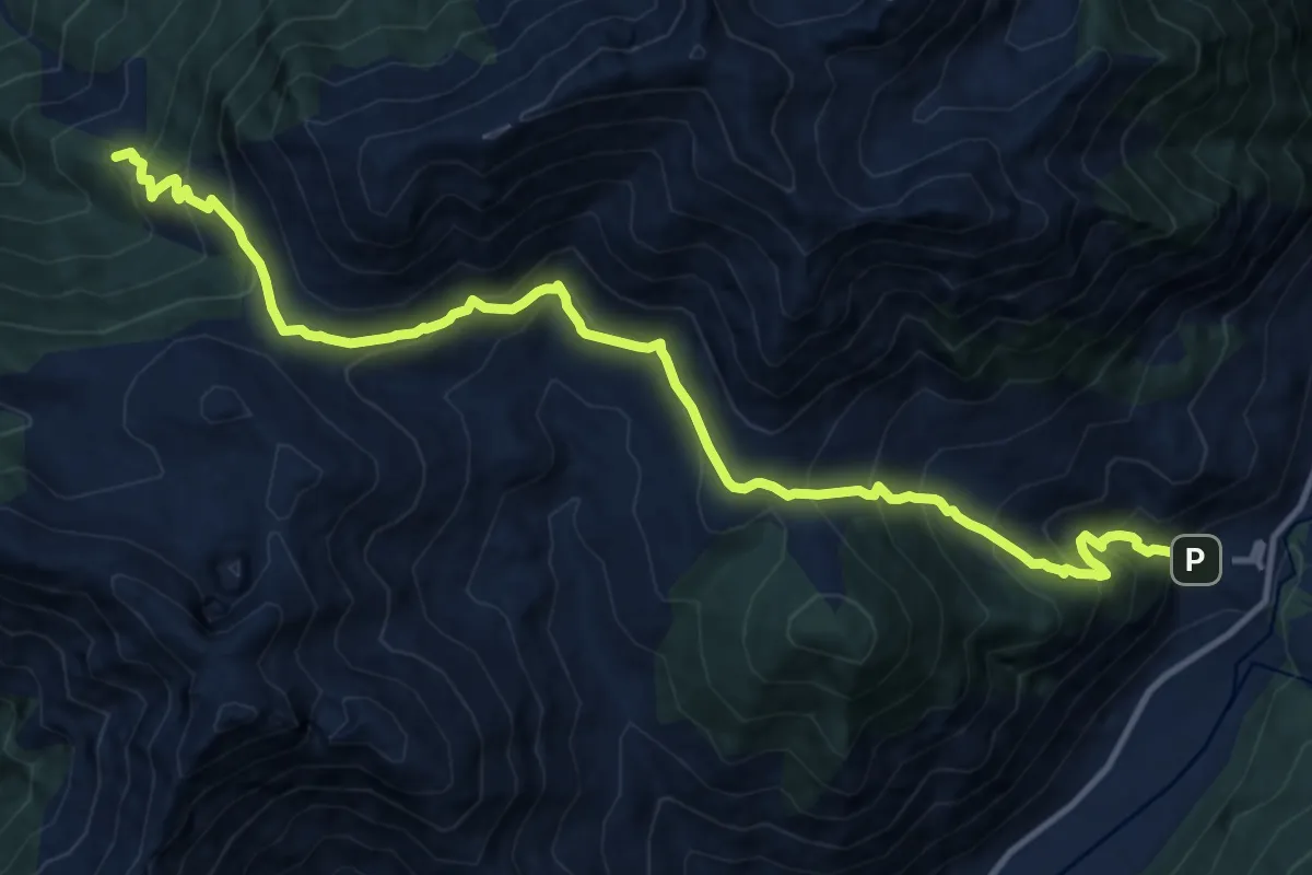
Demanding · Summit
Port de Gelada, Erill la Vall-Senet de Barravés
15.3 km · ↑ 1245 m · 6 h 18 min · 15 km away