Trails near Estación de Cártama
40 hikes starting within 15 km, nearest first.
Nearest first
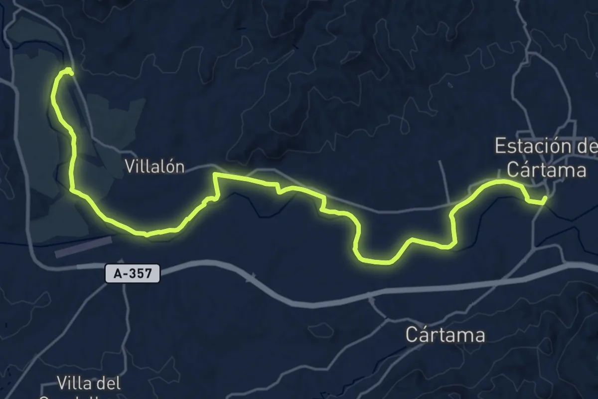
Demanding · Trail
Pizarra - Estación de Cártama
26.9 km · ↑ 110 m · 6 h 35 min · 1 km away
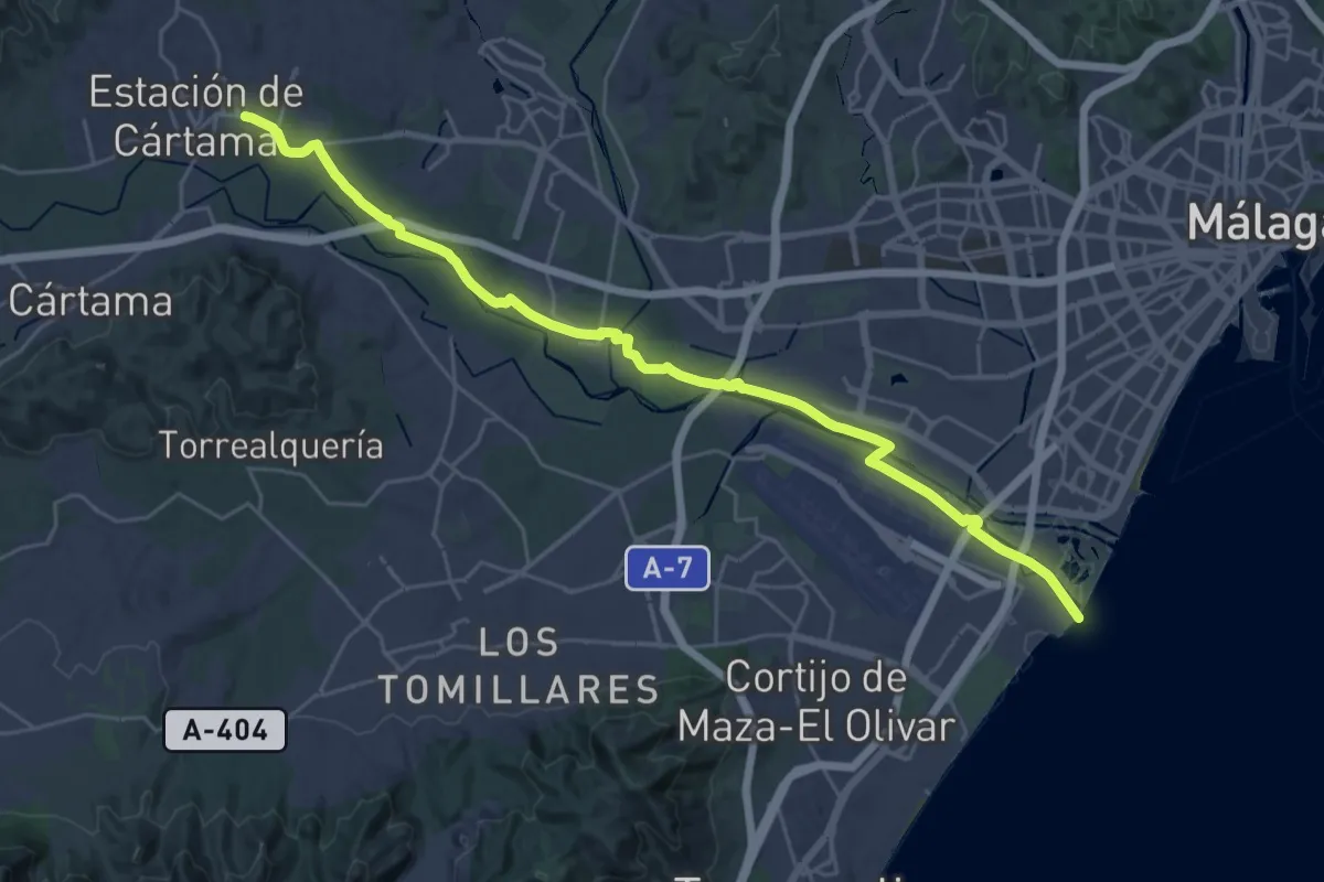
Medium · Trail
Estación de Cártama - Málaga
17.7 km · ↑ 31 m · 4 h 30 min · 1 km away
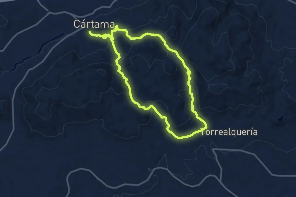
Medium · Trail
Circular de Torrealquería
9.4 km · ↑ 417 m · 3 h 16 min · 3 km away
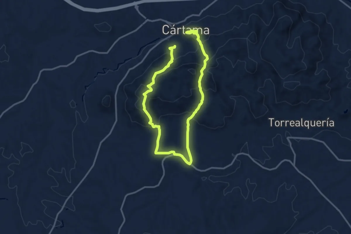
Medium · Trail
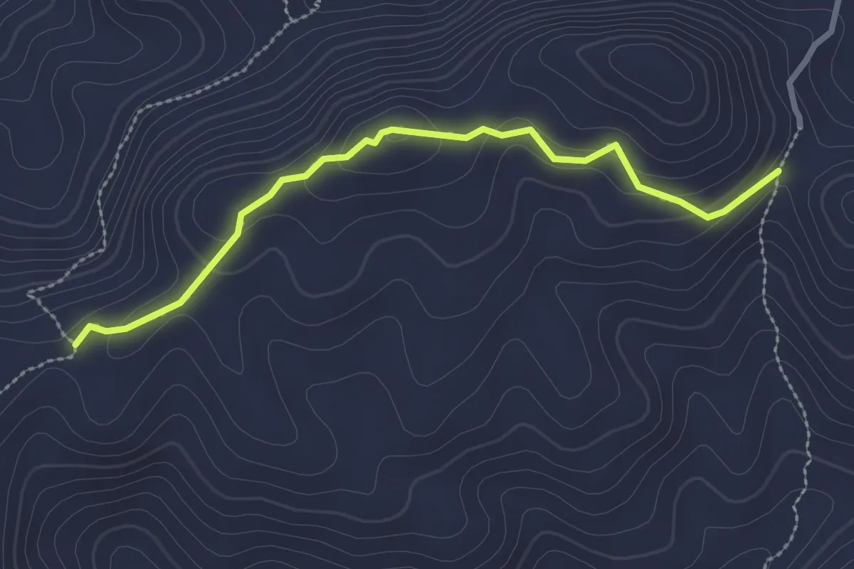
Sierra de los Espartales
8.8 km · ↑ 432 m · 3 h 9 min · 4 km away
Medium · Trail
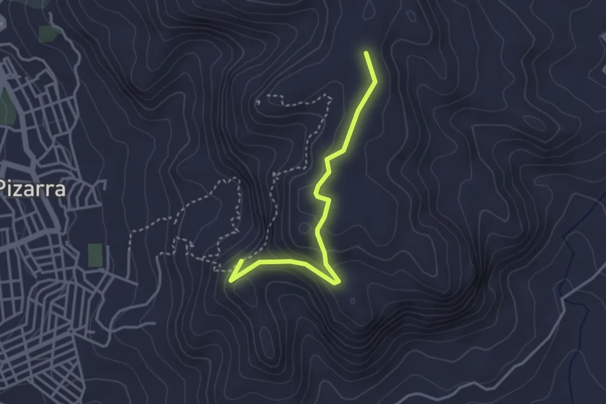
Viñas Viejas
3.0 km · ↑ 121 m · 59 min · 4 km away
Medium · Trail
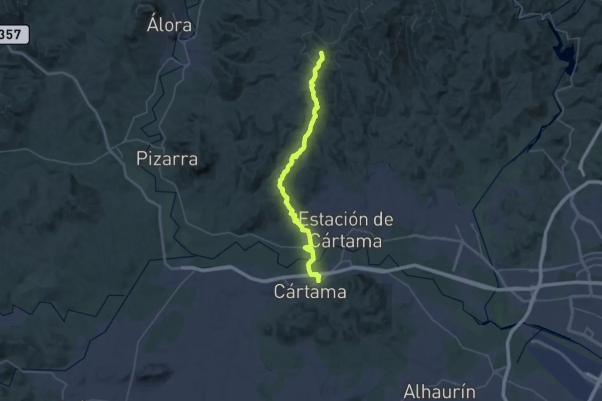
Sendero El Santo (itinerario alternativo)
3.5 km · ↑ 157 m · 1 h 10 min · 8 km away
Medium · Trail
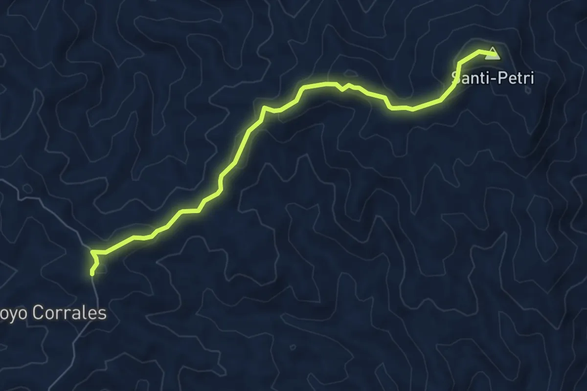
Tres Cruces
14.4 km · ↑ 180 m · 4 h 15 min · 8 km away
Medium · Summit
Ruta del Santi-Petri - Ermita de las Tres Cruces
7.9 km · ↑ 346 m · 2 h 36 min · 8 km away
Medium · Trail
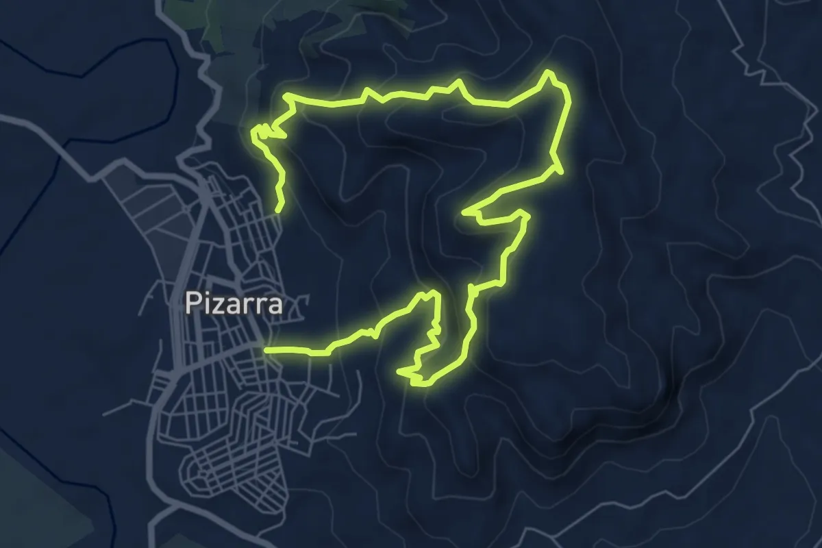
El Santo
6.3 km · ↑ 478 m · 2 h 35 min · 9 km away
Medium · Trail
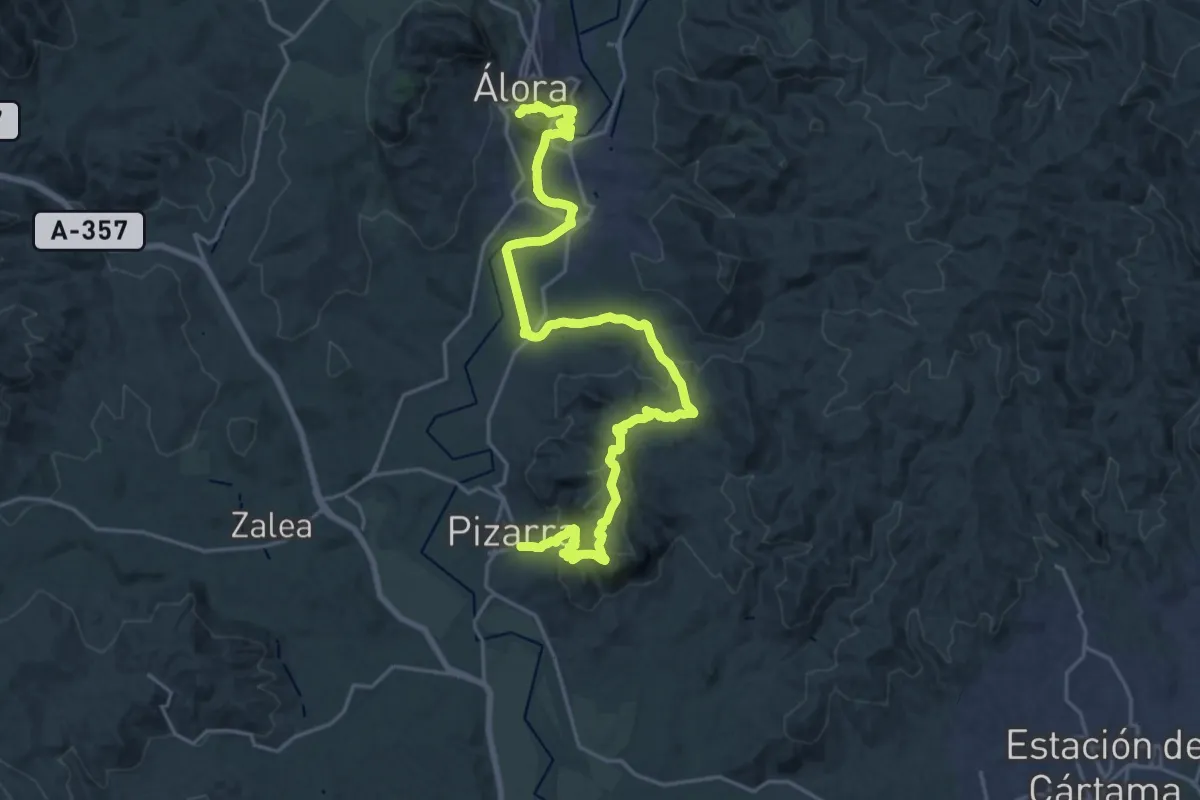
Pizarra - Álora
15.3 km · ↑ 554 m · 4 h 58 min · 9 km away
Easy · Trail
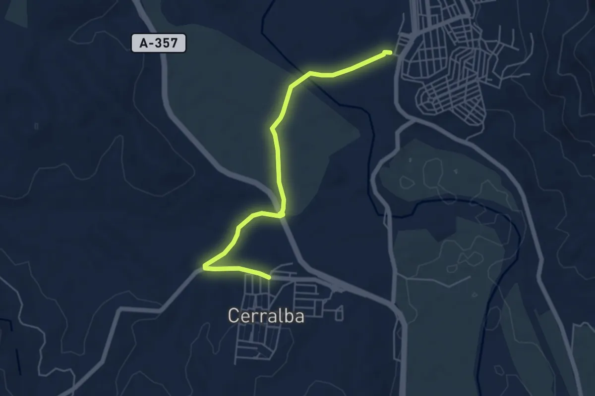
Pizarra - Cerralba
5.8 km · ↑ 31 m · 1 h 26 min · 9 km away
Demanding · Trail
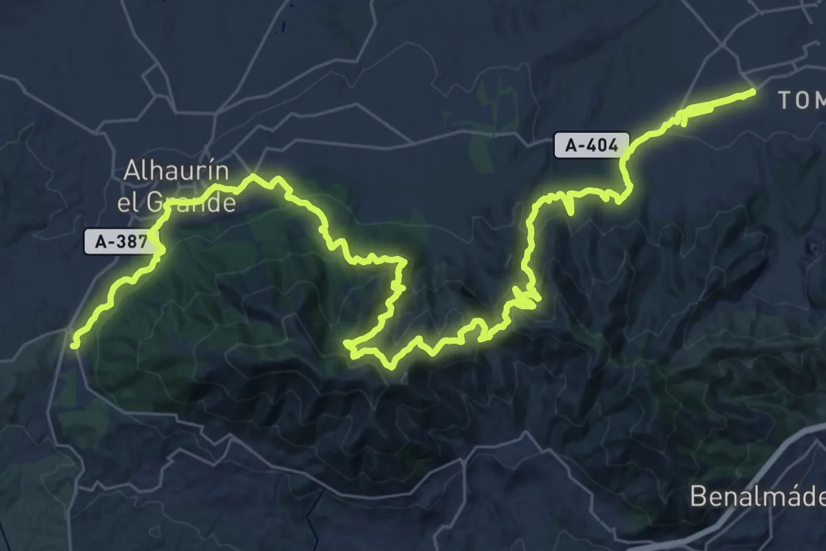
Variante GR 249.2 Puerto de los Pescadores - Alhaurín de la Torre
27.3 km · ↑ 1301 m · 9 h 34 min · 10 km away
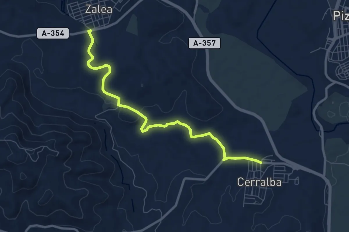
Medium · Trail
Cerralba - Zalea
8.4 km · ↑ 103 m · 2 h 12 min · 10 km away
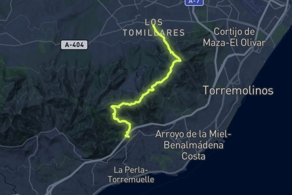
Medium · Trail
Benalmádena - Alhaurín de la Torre
12.0 km · ↑ 756 m · 4 h 33 min · 10 km away
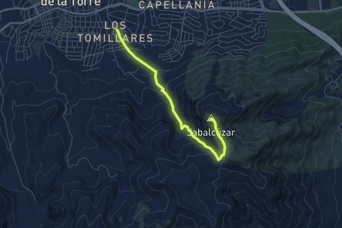
Medium · Summit
Arroyo Zambrano - Pico Jabalcuza
7.0 km · ↑ 481 m · 2 h 41 min · 10 km away
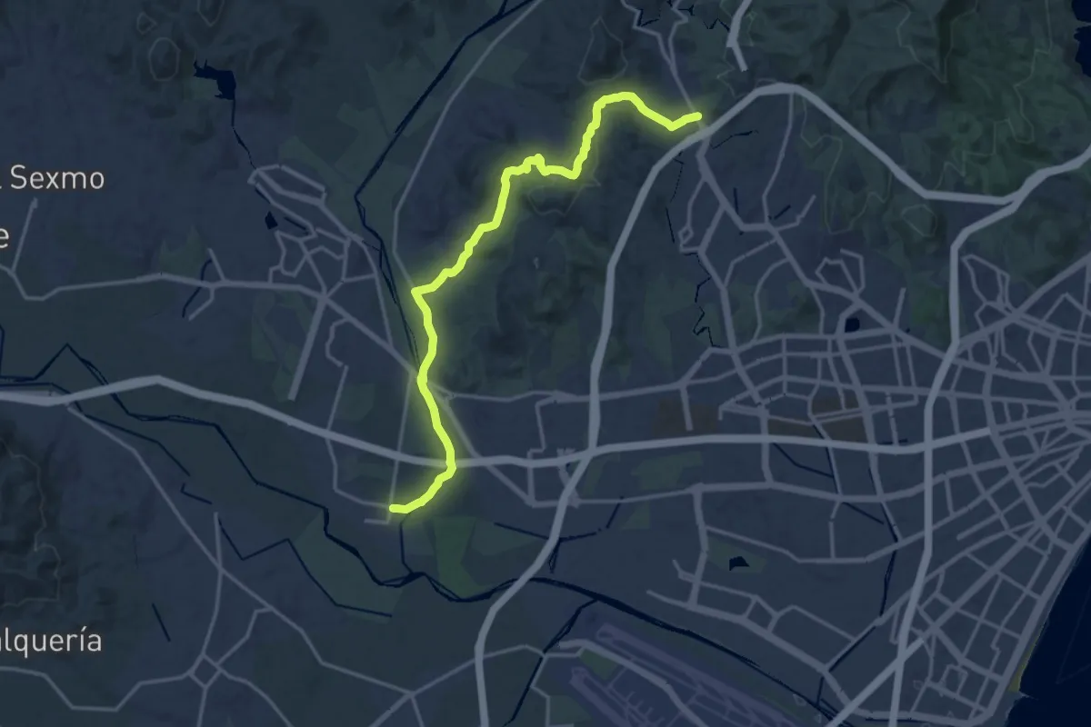
Demanding · Trail
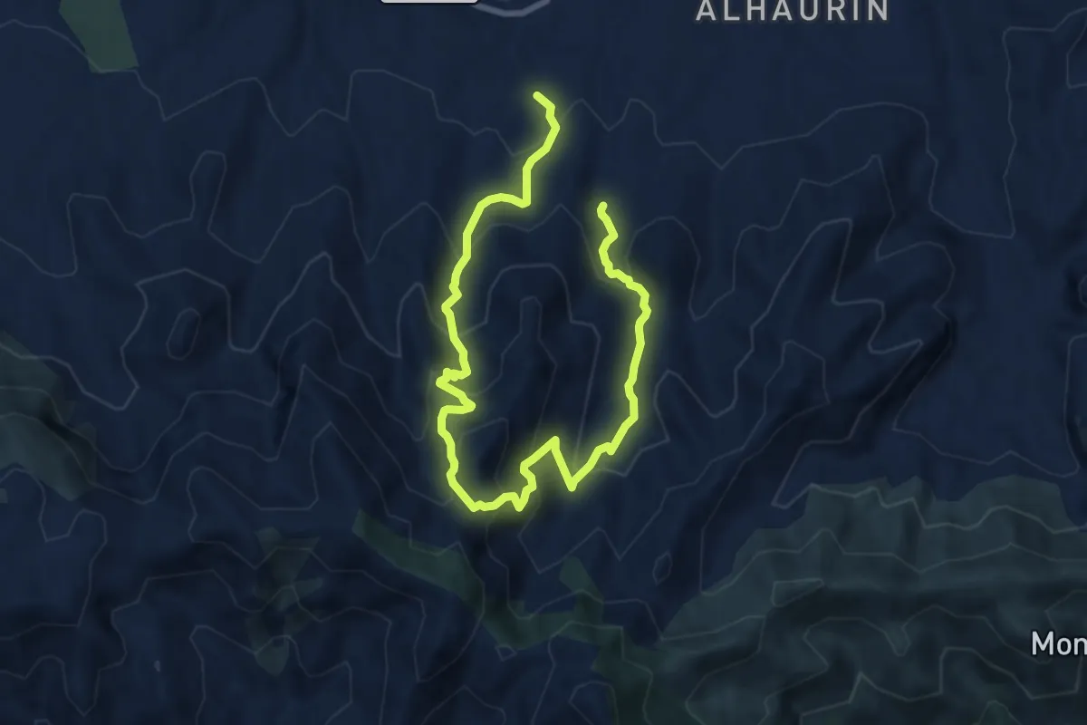
Puerto de la Torre - Campanillas - GR 248
19.8 km · ↑ 361 m · 5 h 28 min · 11 km away
Demanding · Trail
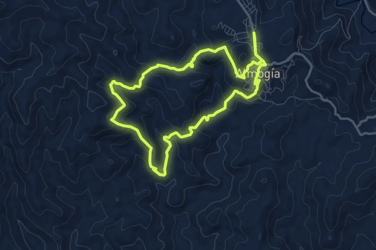
Presidiarios
13.0 km · ↑ 892 m · 5 h · 11 km away
Medium · Trail
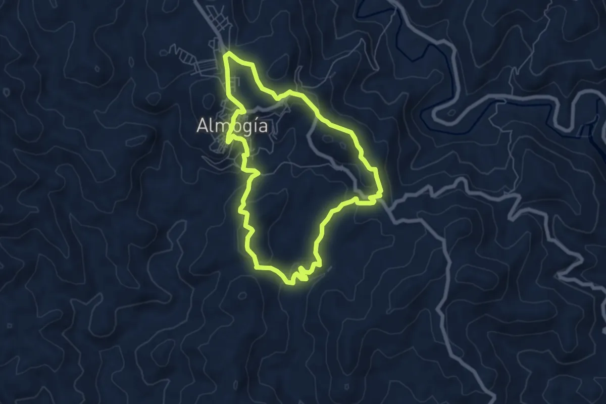
Charamuza - Lo Bernabé
8.9 km · ↑ 374 m · 3 h 3 min · 12 km away
Easy · Summit
Llano El Espinar
6.7 km · ↑ 233 m · 2 h 10 min · 12 km away
Medium · Trail
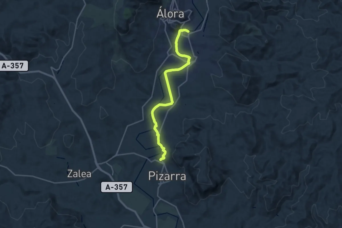
Álora - Pizarra
15.1 km · ↑ 153 m · 3 h 53 min · 12 km away
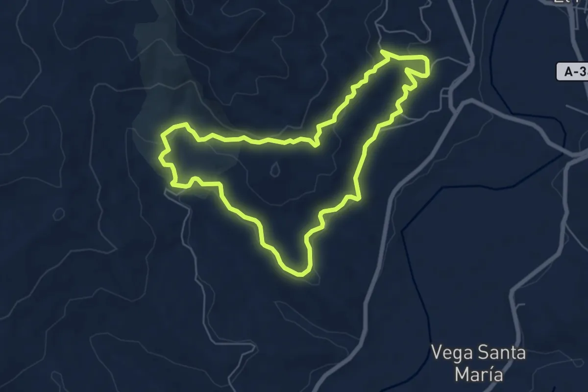
Easy · Trail
Ruta Canca
6.4 km · ↑ 166 m · 1 h 58 min · 12 km away
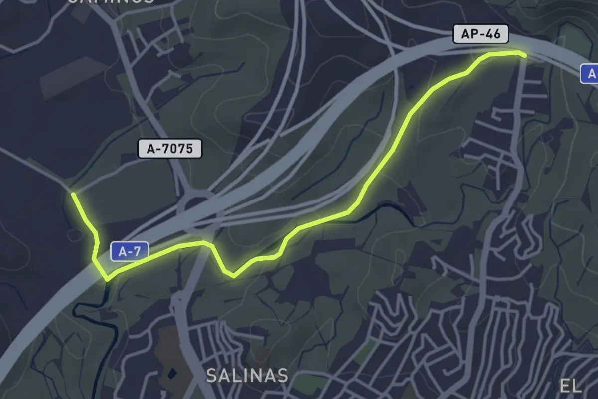
Easy · Trail
Sendero Puerto de la Torre - Campanillas – Sendero Ciudad Jardín - Puerto de la Torre
4.6 km · ↑ 86 m · 1 h 17 min · 12 km away
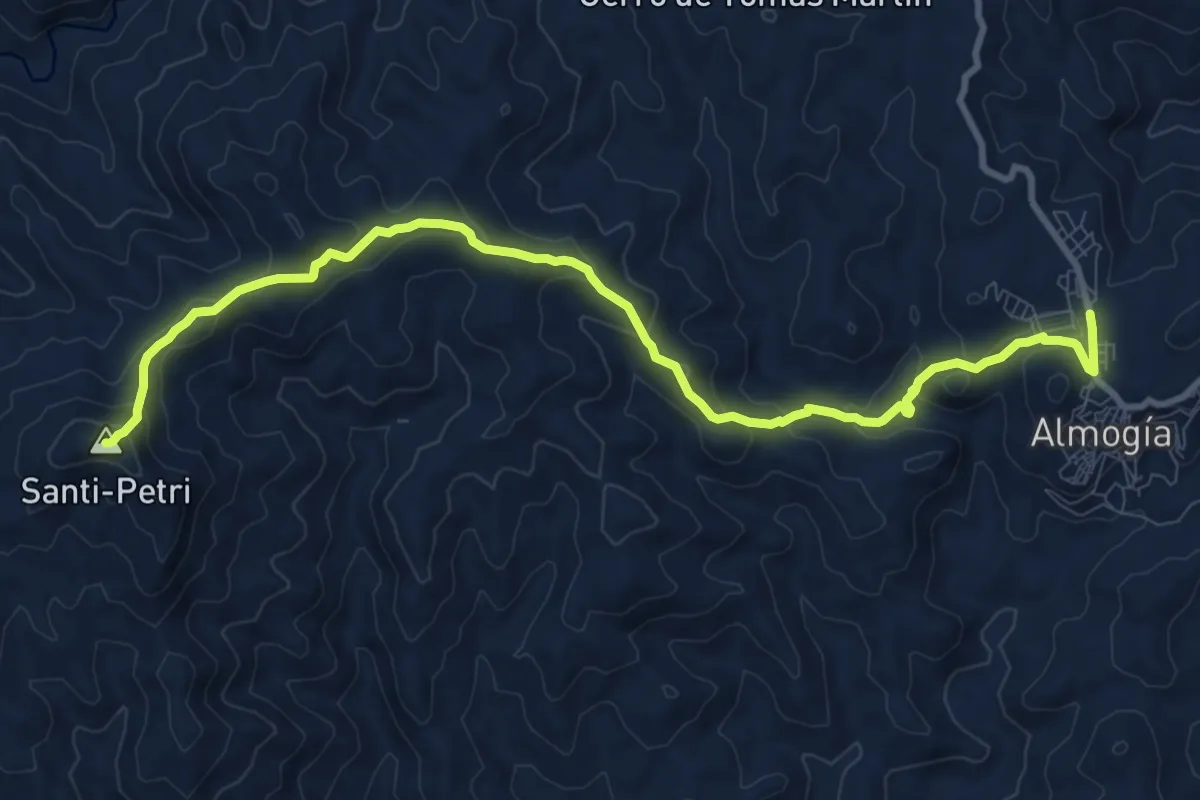
Medium · Summit
Almogía - Santi Petri
12.7 km · ↑ 602 m · 4 h 19 min · 12 km away
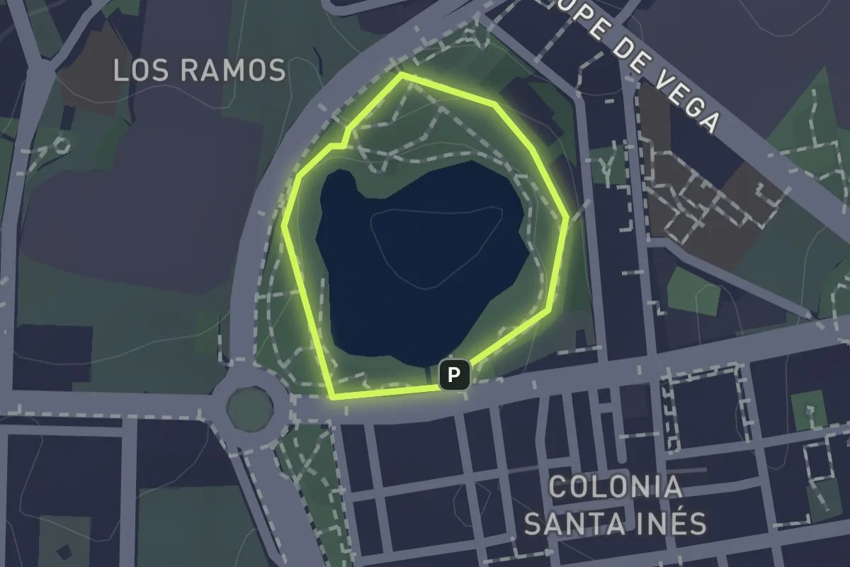
Easy · Trail
Laguna de la Barrera
1.0 km · ↑ 16 m · 17 min · 13 km away
Medium · Trail
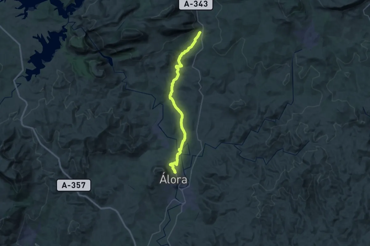
Álora - Valle de Abdalajís
14.5 km · ↑ 343 m · 4 h 19 min · 13 km away
Demanding · Trail
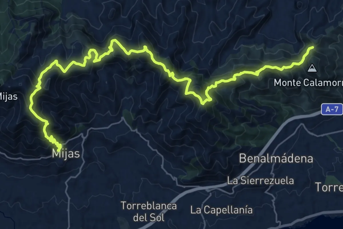
Mijas - Benalmádena
16.1 km · ↑ 964 m · 6 h 11 min · 14 km away
Medium · Trail
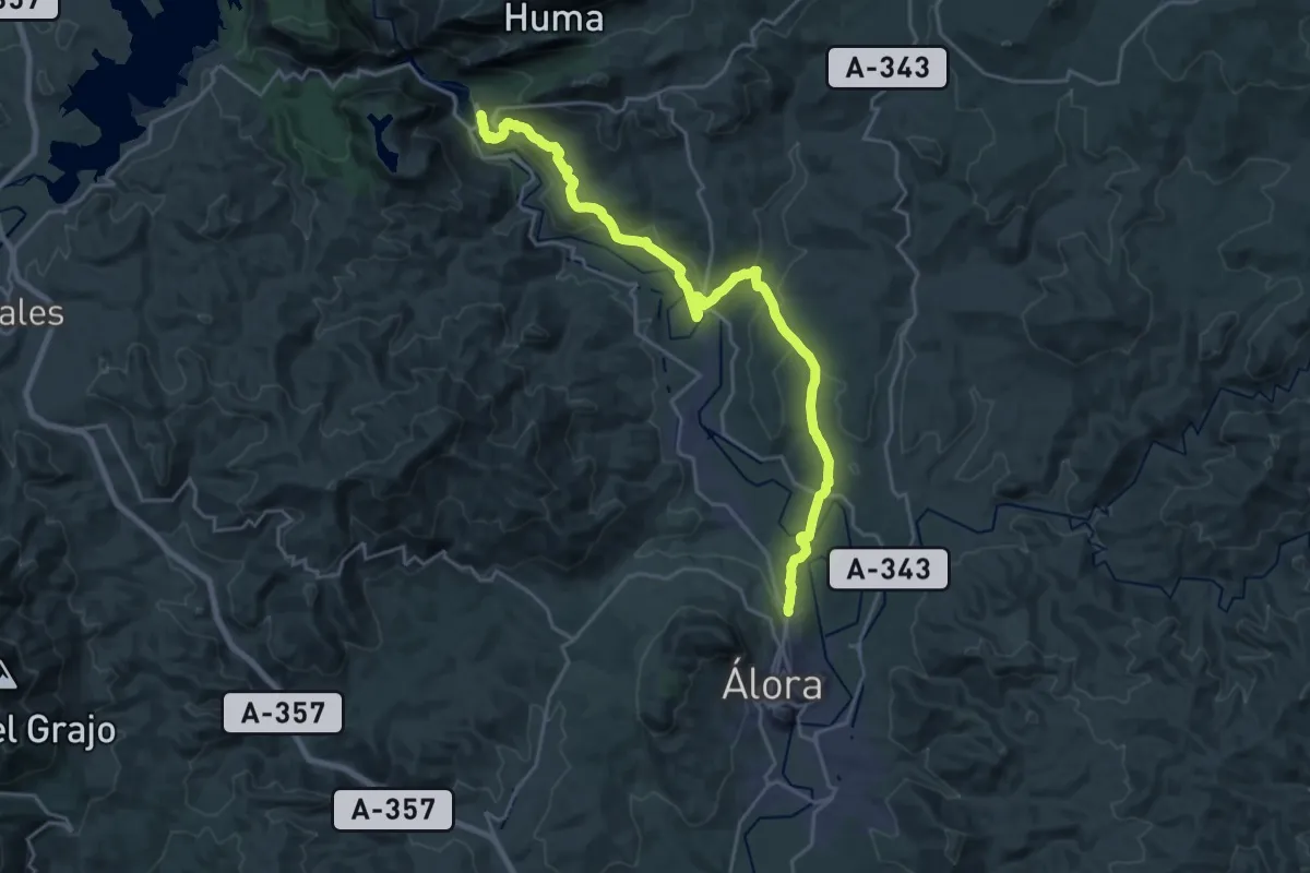
Estación del Chorro - Álora
14.1 km · ↑ 344 m · 4 h 14 min · 14 km away
Medium · Trail
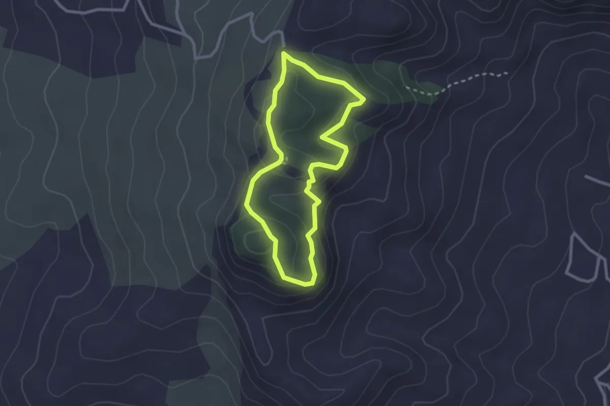
Sendero Monte Redondo
2.5 km · ↑ 108 m · 52 min · 14 km away
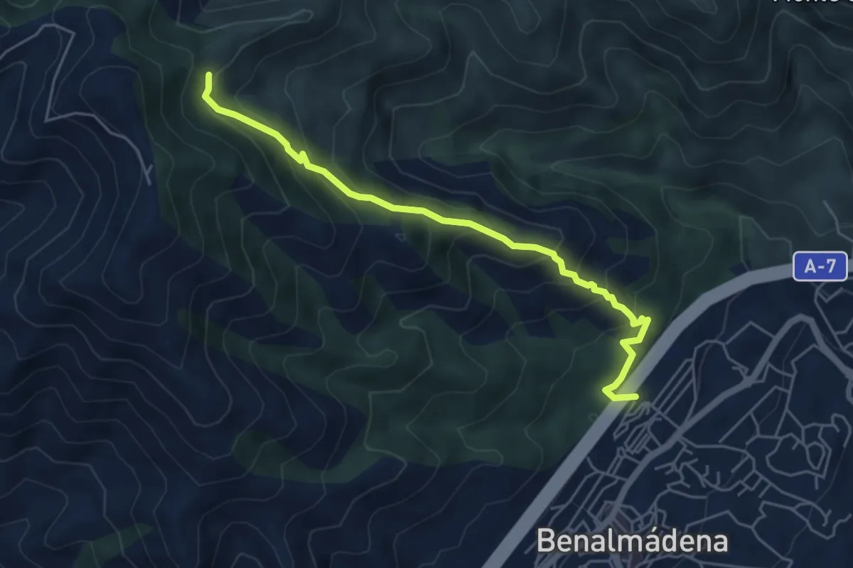
Medium · Trail
Sendero Tajo de La Sabia
6.0 km · ↑ 484 m · 2 h 27 min · 14 km away
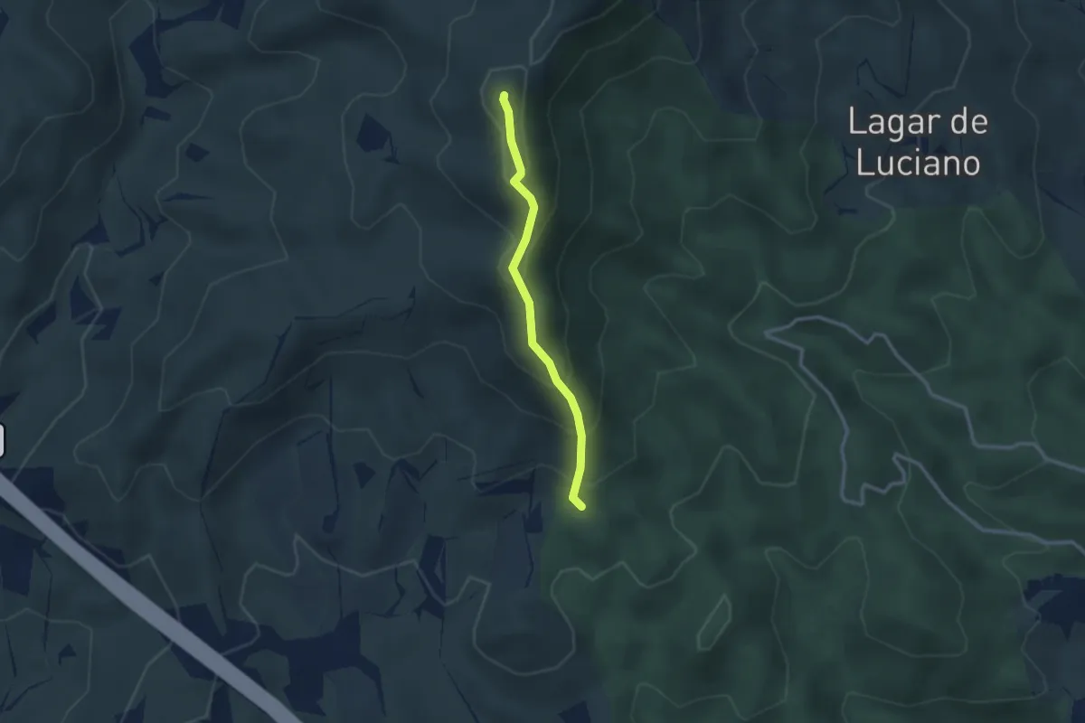
Easy · Summit
Sendero de la Cresta
2.7 km · ↑ 234 m · 1 h 9 min · 14 km away
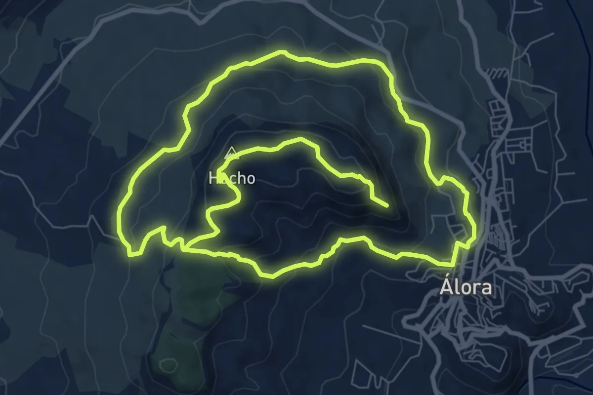
Medium · Summit
Sendero Monte Hacho
9.3 km · ↑ 416 m · 3 h 14 min · 14 km away
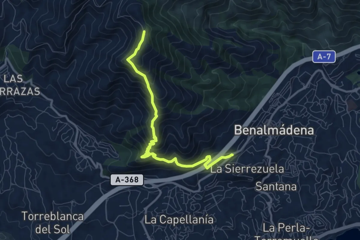
Medium · Trail
Sendero Mina de la Trinidad
9.5 km · ↑ 787 m · 3 h 56 min · 14 km away
Demanding · Trail
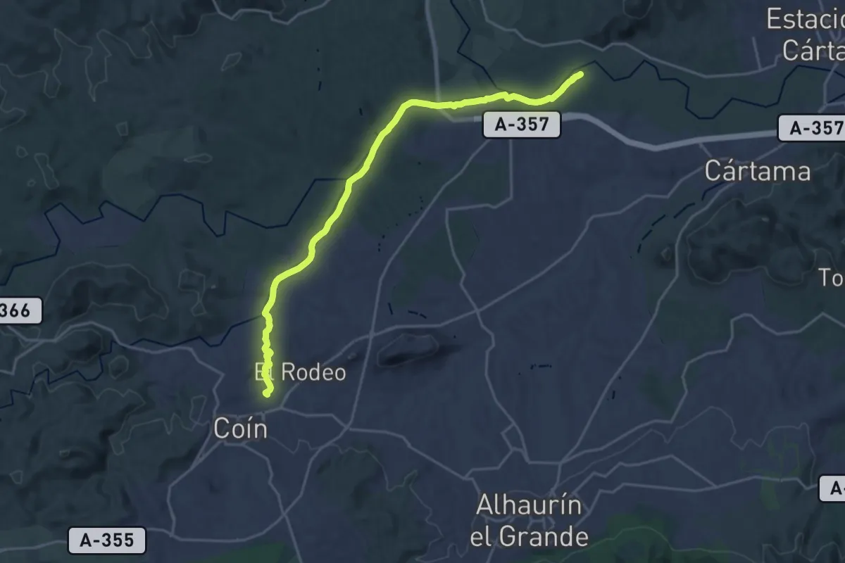
Sendero Fluvial Coín - Guadalhorce
24.0 km · ↑ 122 m · 5 h 56 min · 14 km away
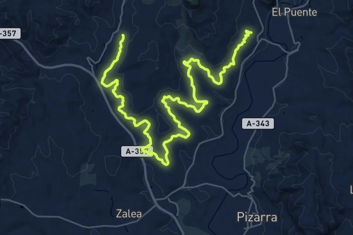
Medium · Trail
Ruta Canca Familiar
15.4 km · ↑ 222 m · 4 h 20 min · 15 km away
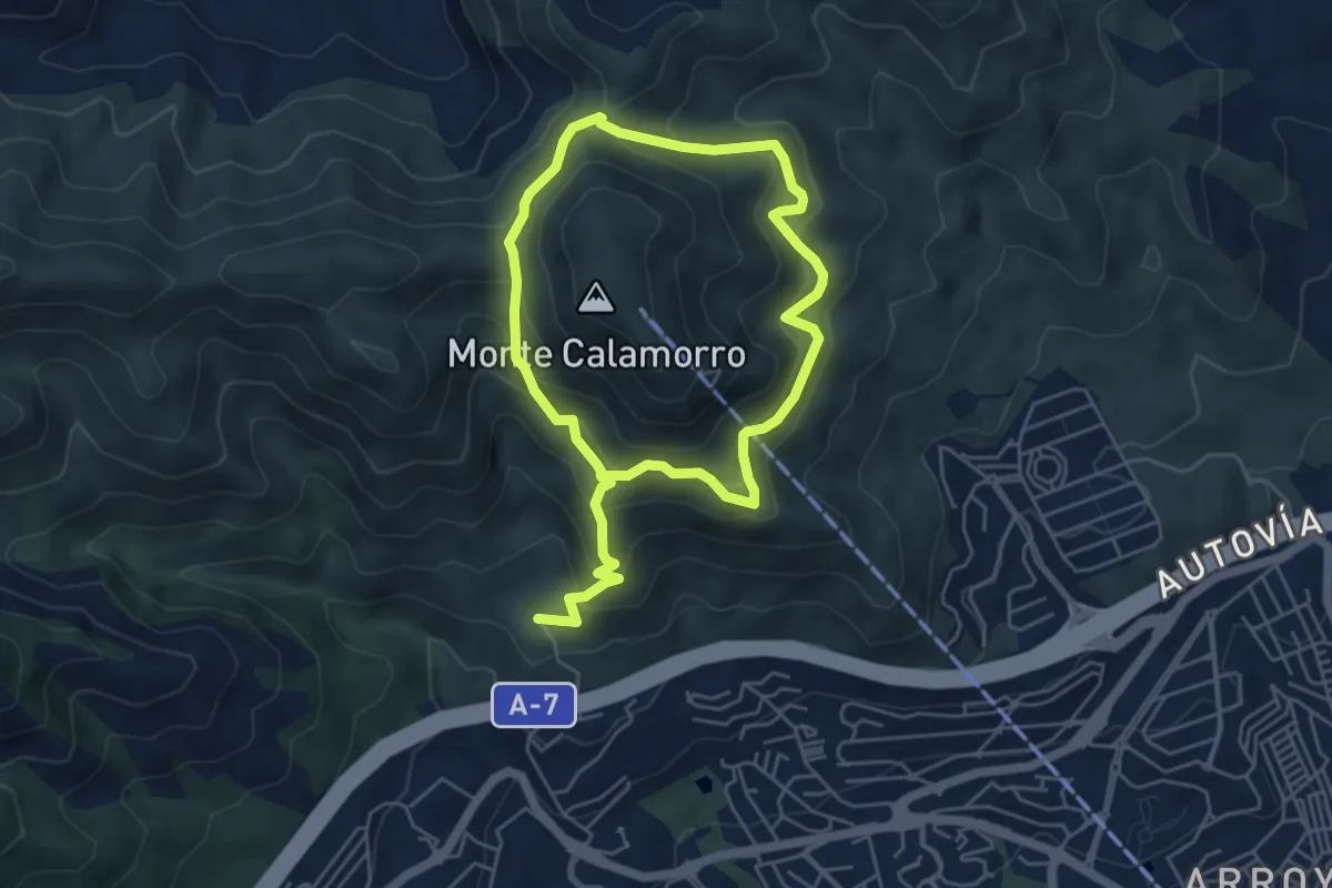
Demanding · Trail
Sendero Puerto Viejo
10.0 km · ↑ 864 m · 4 h 13 min · 15 km away
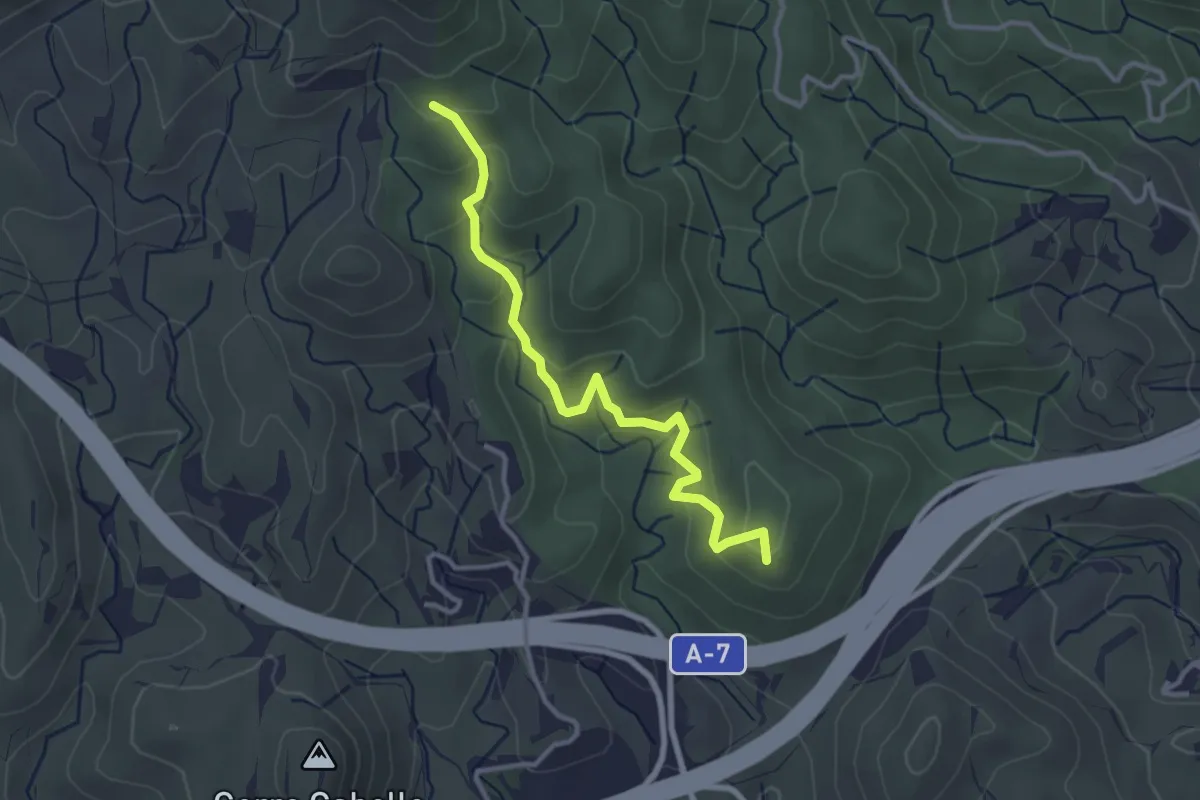
Easy · Trail
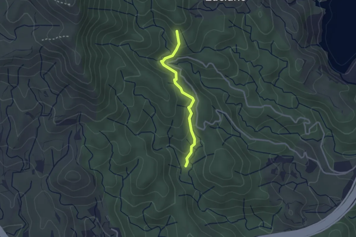
Sendero Alcabuceros
3.7 km · ↑ 223 m · 1 h 22 min · 15 km away
Easy · Trail
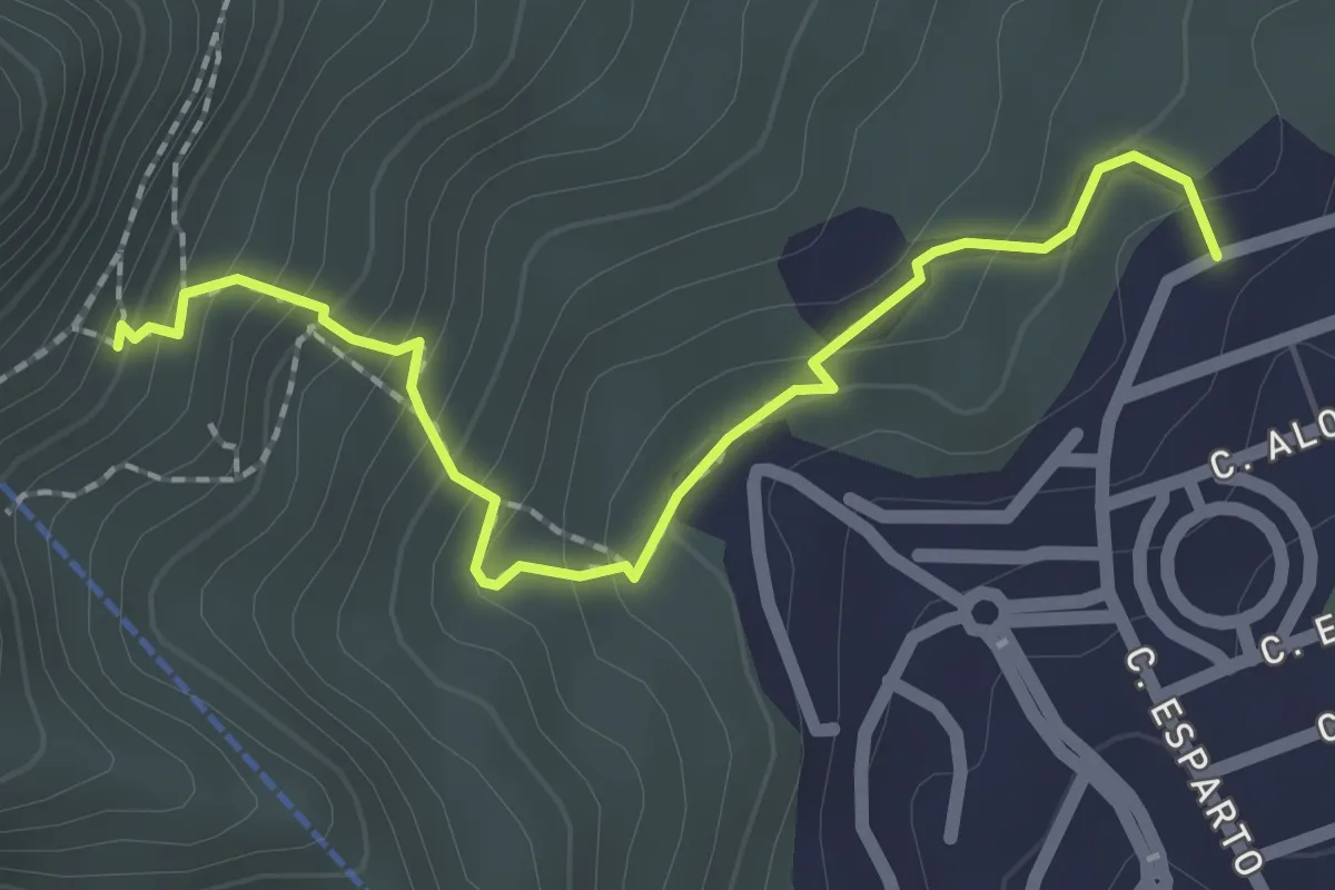
Sendero del Dique
2.6 km · ↑ 123 m · 53 min · 15 km away
Easy · Trail
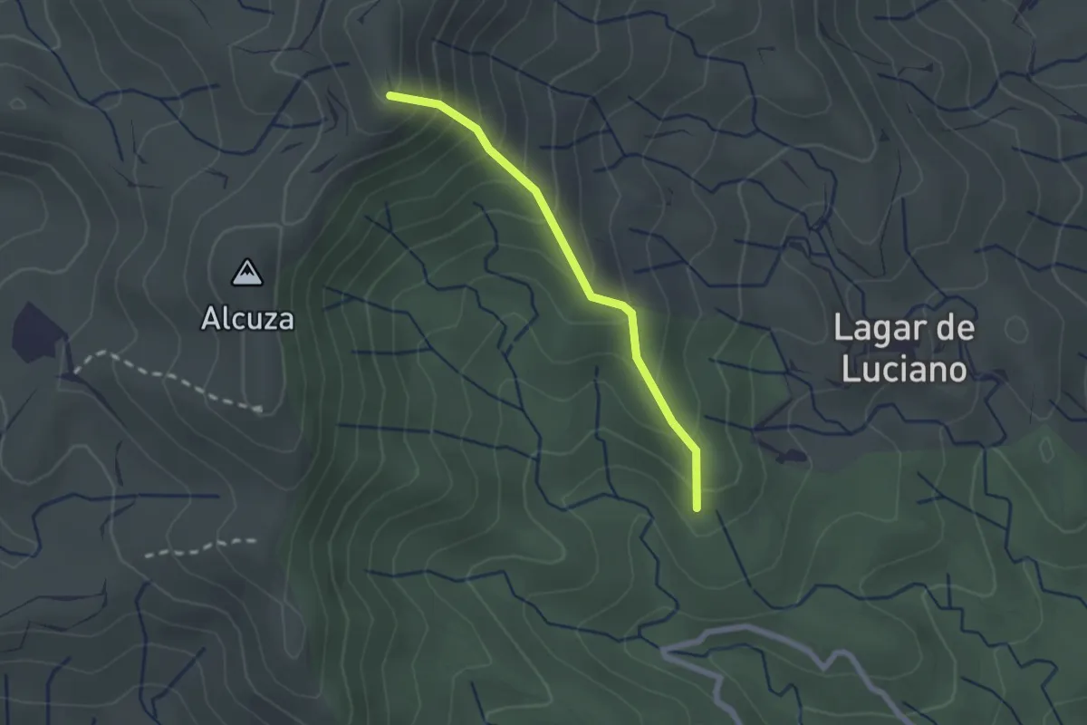
La Ermita
2.6 km · ↑ 233 m · 1 h 7 min · 15 km away
Easy · Trail
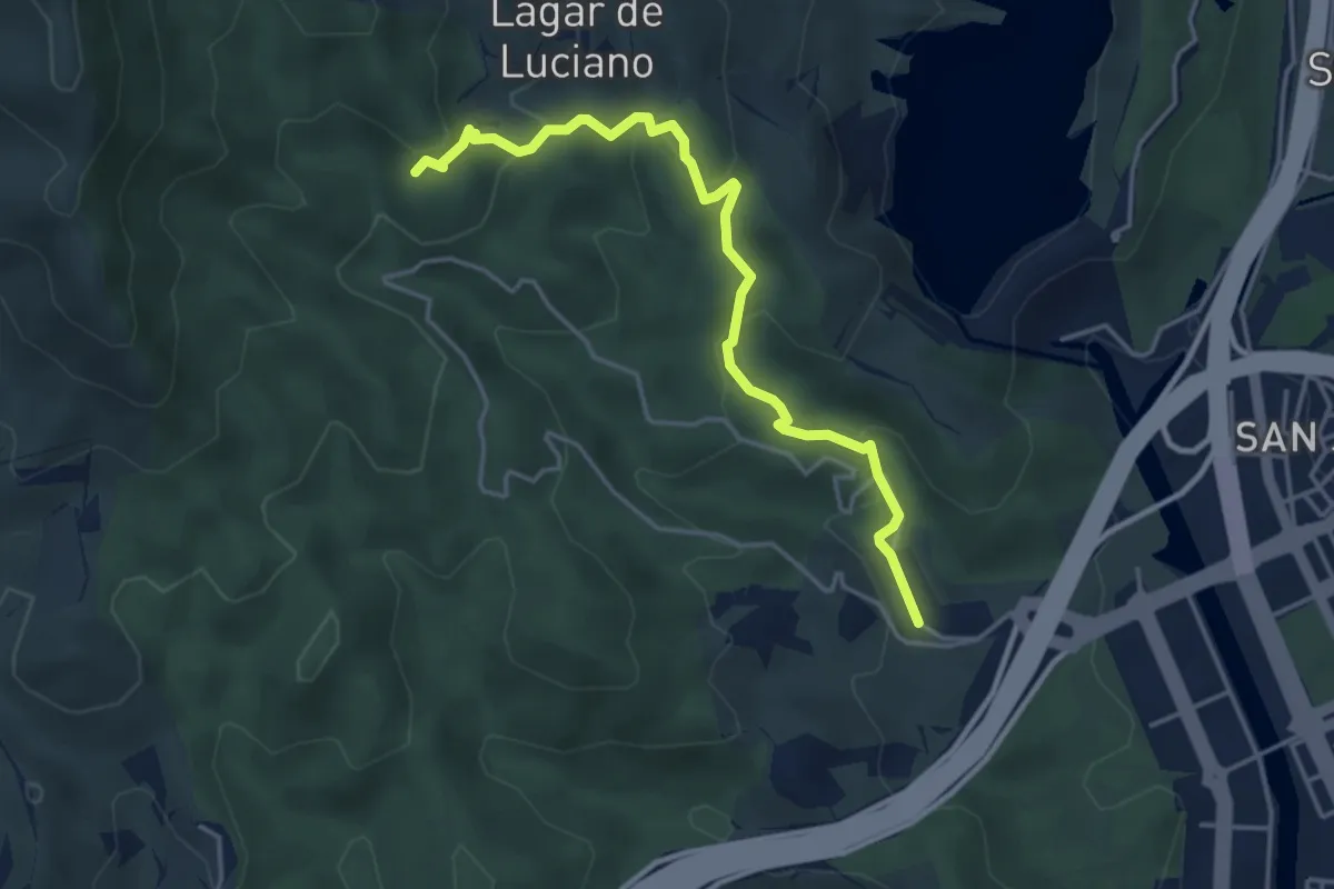
Sendero del Pico Alcuza
2.1 km · ↑ 233 m · 1 h · 15 km away
Easy · Trail
Sendero de la Era
5.0 km · ↑ 226 m · 1 h 40 min · 15 km away