Trails near Gernika-Lumo
20 hikes starting within 15 km, nearest first.
Nearest first
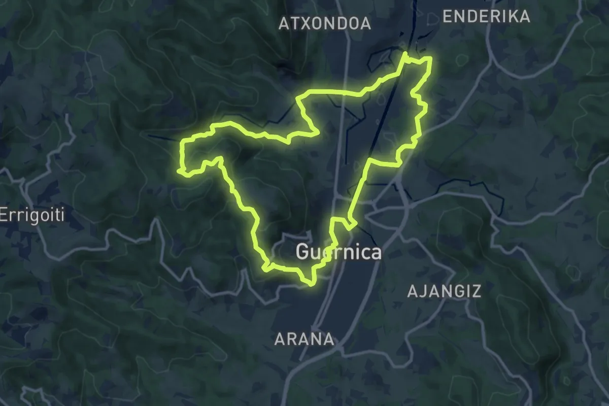
Medium · Trail
Gernika-Lumo Forua. Estuarioaren bihotzean barrena
12.4 km · ↑ 301 m · 3 h 46 min · 2 km away
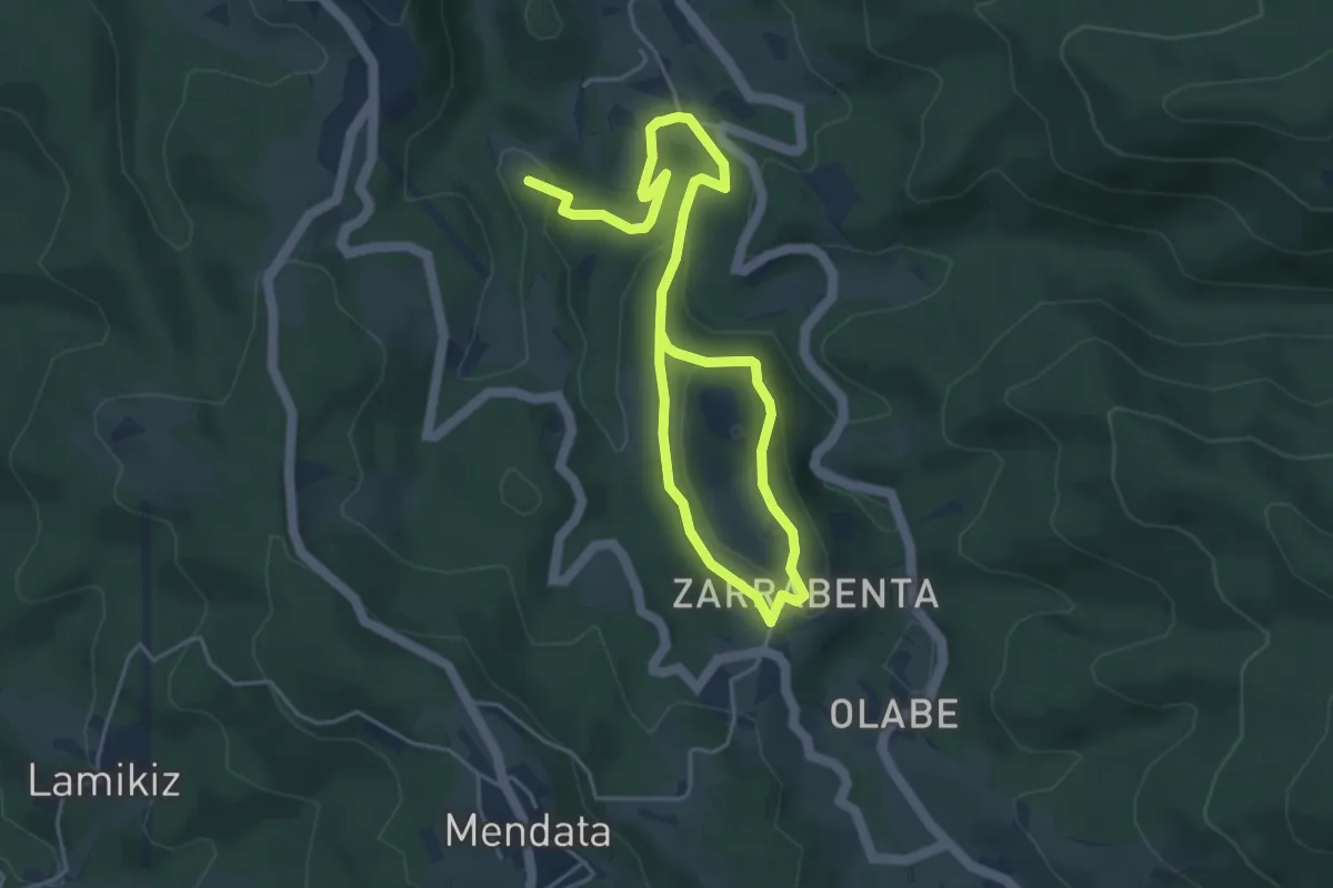
Easy · Summit
Golako. Haran sorginduaren barrena
7.0 km · ↑ 210 m · 2 h 7 min · 4 km away
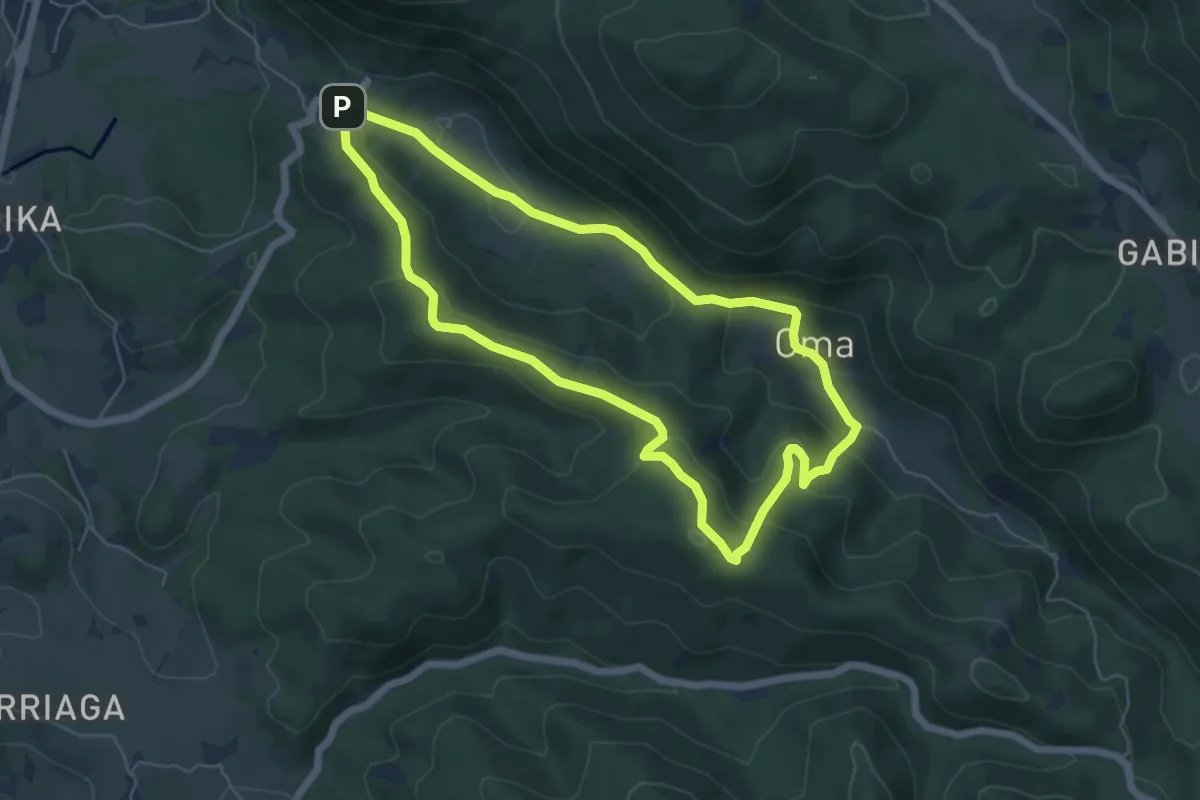
Easy · Summit
Oma-Basondo
5.9 km · ↑ 268 m · 2 h 4 min · 5 km away
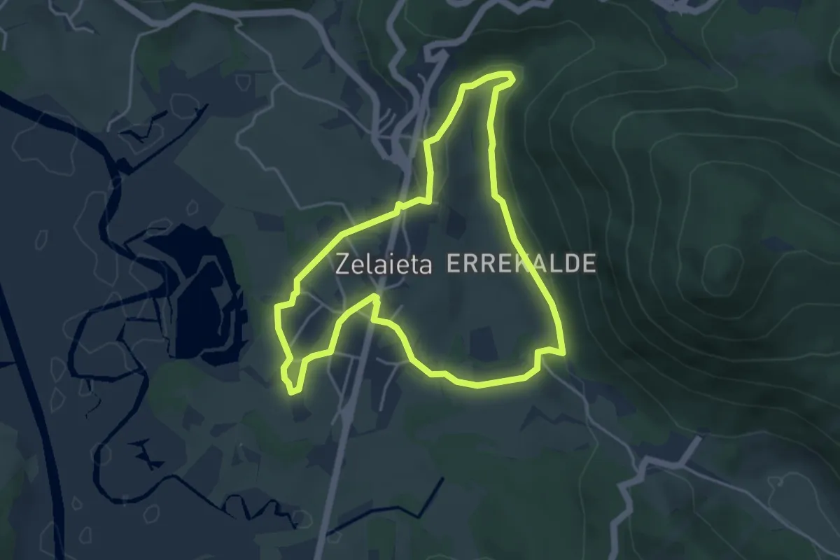
Easy · Trail
Gautegiz-Artega. Ibilbide bat erroten ondoko errekan barrena
4.3 km · ↑ 85 m · 1 h 16 min · 5 km away
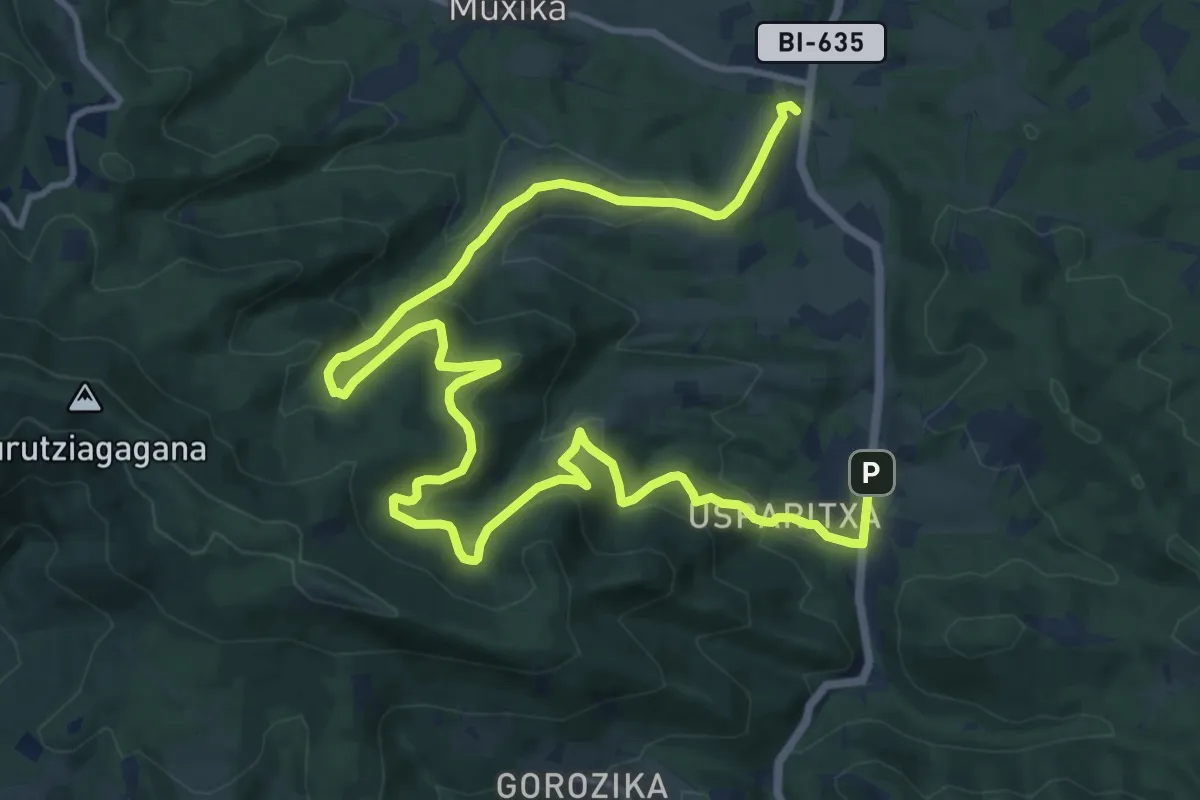
Demanding · Trail
Muxika. Barnealdeko bideetan barrena
19.3 km · ↑ 838 m · 6 h 23 min · 5 km away
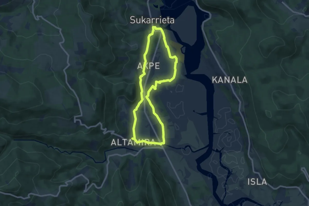
Easy · Trail
Busturia. Txakolinaren itzalpean ibilian ibiliz
7.5 km · ↑ 136 m · 2 h 10 min · 6 km away
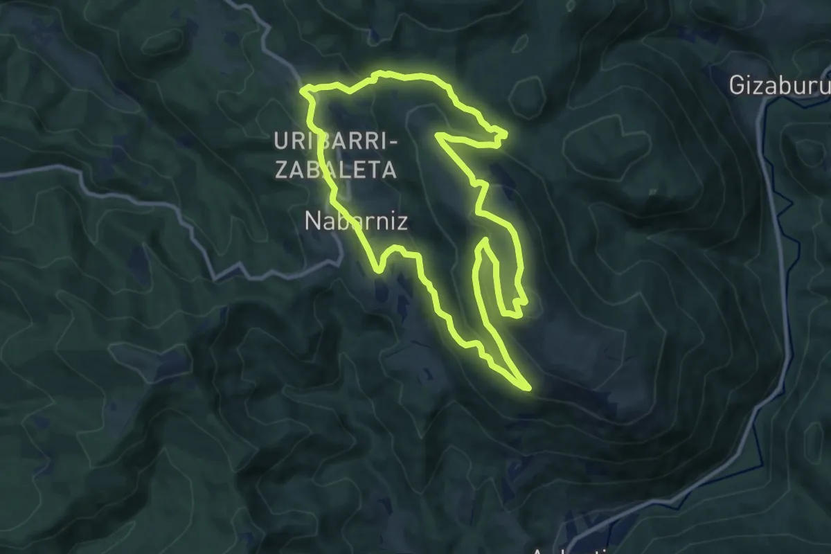
Medium · Summit
Nabarniz. Illuntzar, Urdaibaiko begiratokia
10.6 km · ↑ 443 m · 3 h 36 min · 7 km away
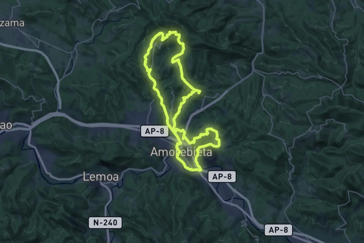
Demanding · Summit
Andrés Espinosa
46.1 km · ↑ 1342 m · 13 h 48 min · 8 km away
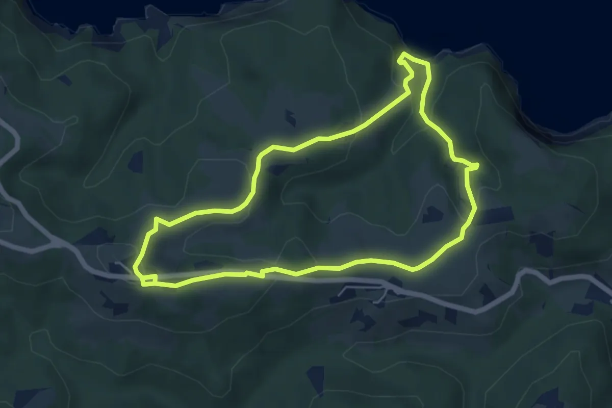
Easy · Summit
Erregeen bidetik
4.9 km · ↑ 188 m · 1 h 38 min · 9 km away
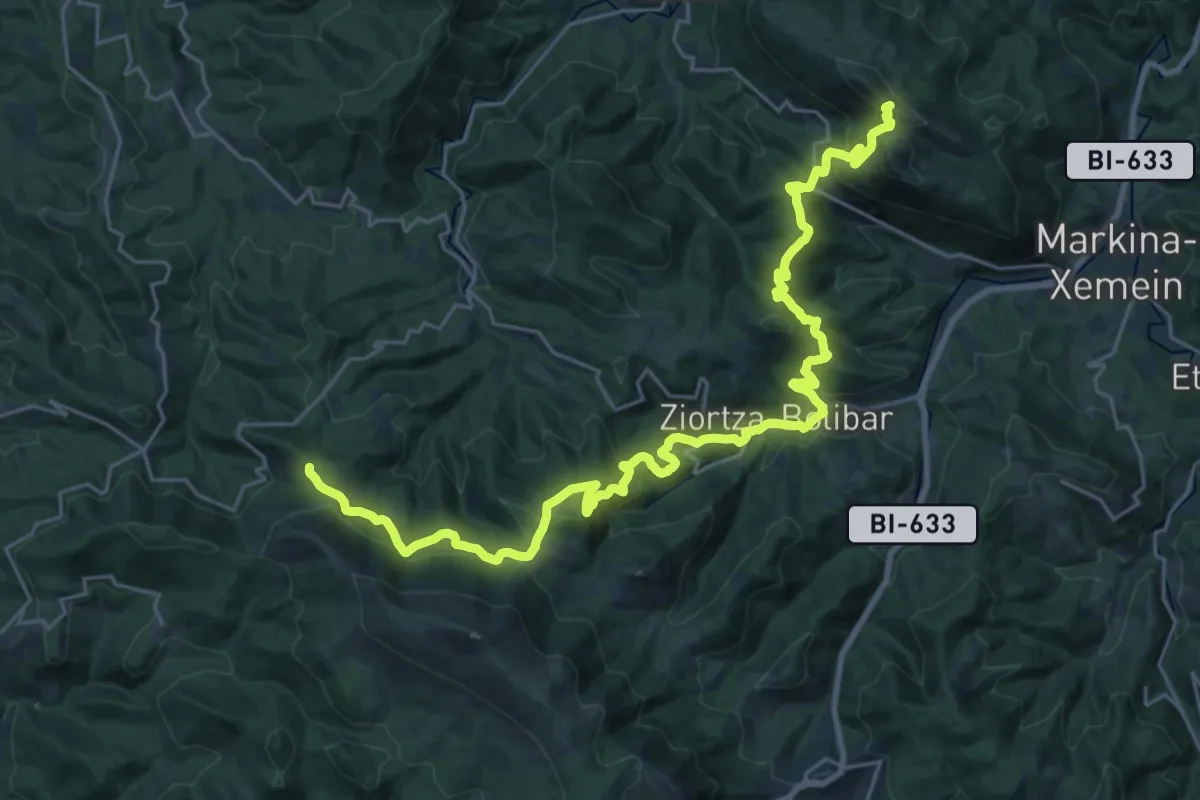
Demanding · Summit
Ardoaren eta arrainaren bidea (Maskakorta-Lekeitio)
32.1 km · ↑ 1411 m · 10 h 38 min · 9 km away
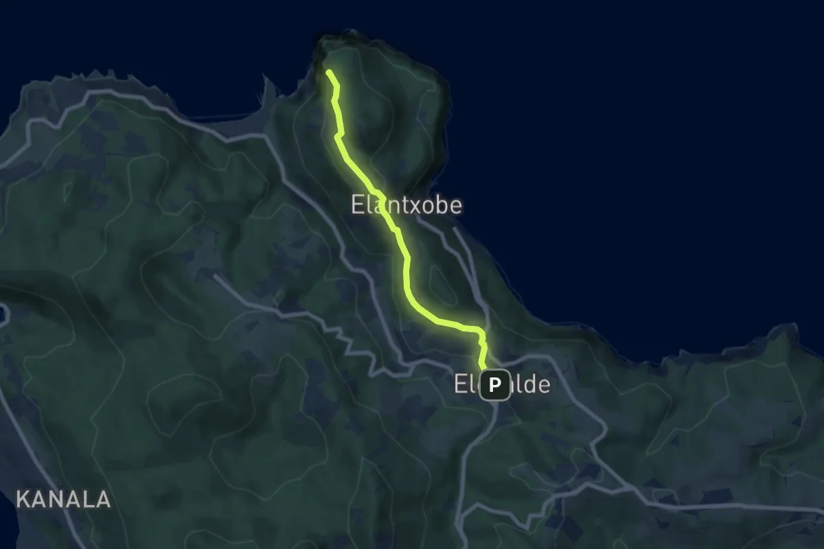
Easy · Summit
Ogoño. Ruta hacia el mar
6.4 km · ↑ 188 m · 1 h 56 min · 9 km away
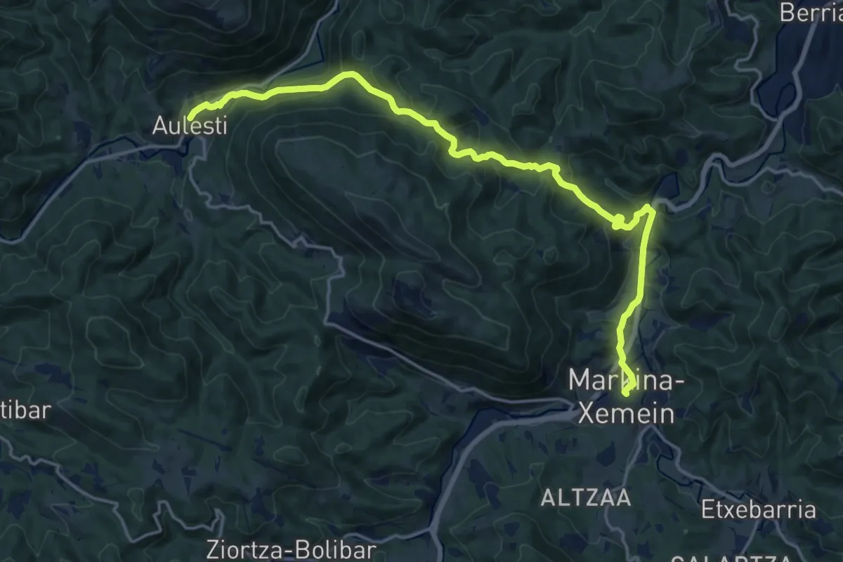
Demanding · Trail
Aulestiko bidezidorra
19.0 km · ↑ 722 m · 6 h 4 min · 10 km away
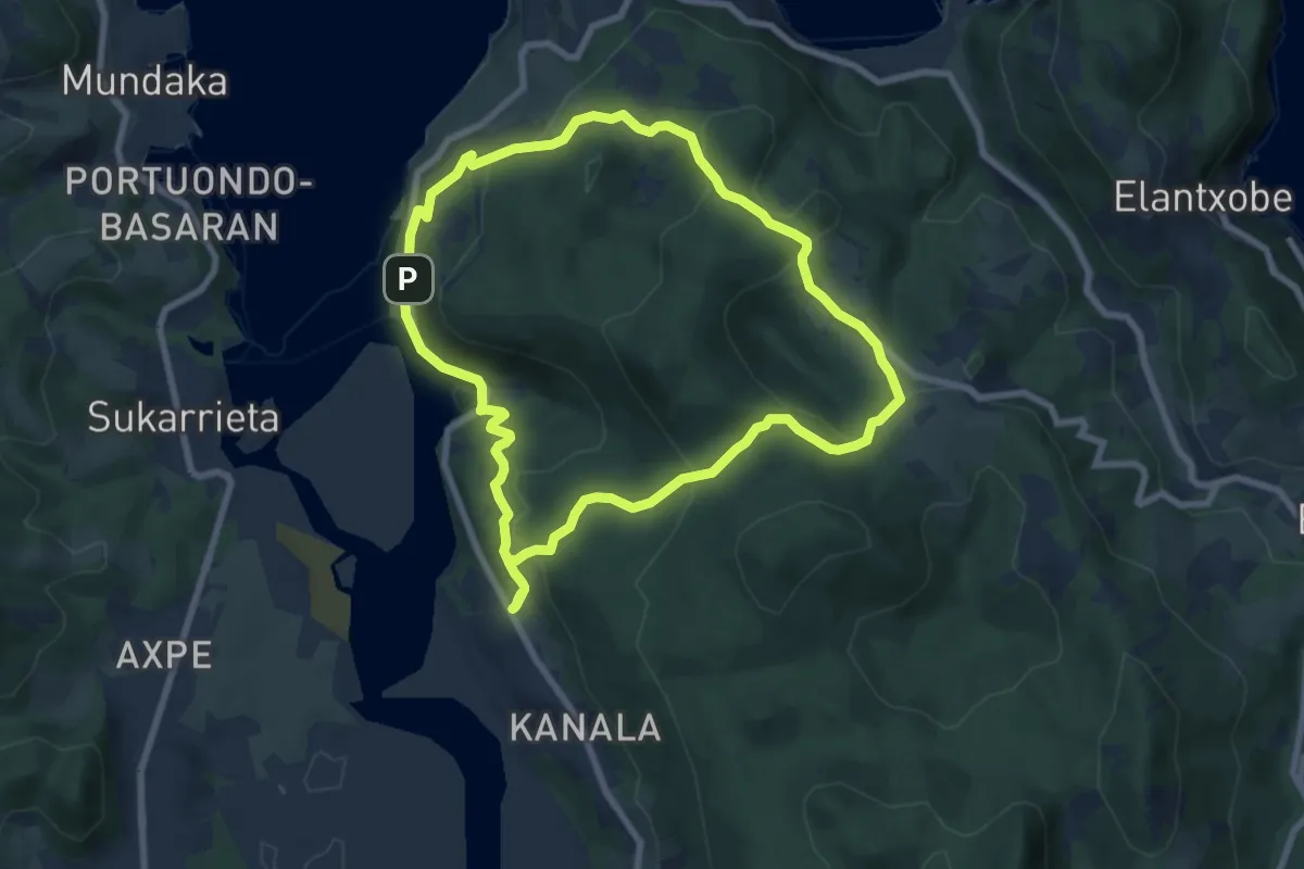
Easy · Trail
Atxarre. Artadiaren bihotzaren erdian
8.0 km · ↑ 305 m · 2 h 39 min · 10 km away
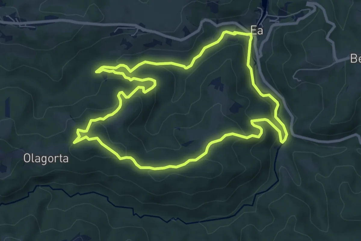
Easy · Summit
Ura jarraituz
7.7 km · ↑ 267 m · 2 h 30 min · 10 km away
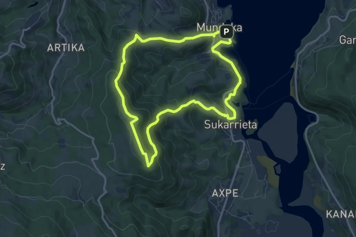
Medium · Summit
Katillotxu. Begirada bat iragan megalitikoari
8.2 km · ↑ 342 m · 2 h 48 min · 10 km away
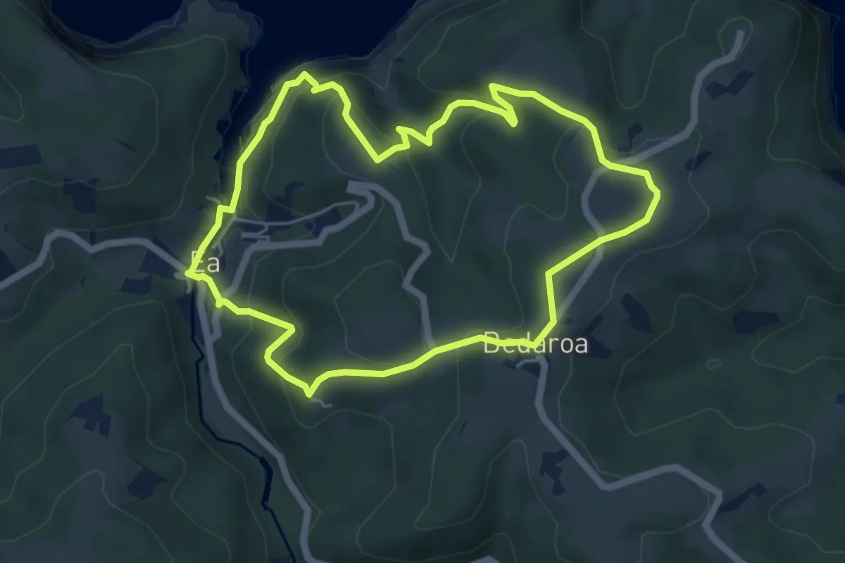
Easy · Summit
Letaniak bidezidorra
5.2 km · ↑ 203 m · 1 h 45 min · 10 km away
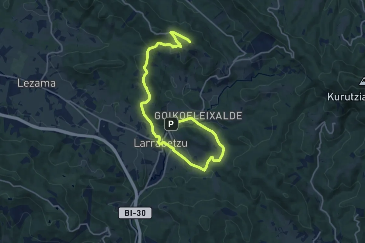
Medium · Summit
Larrabideak
16.9 km · ↑ 435 m · 4 h 56 min · 11 km away
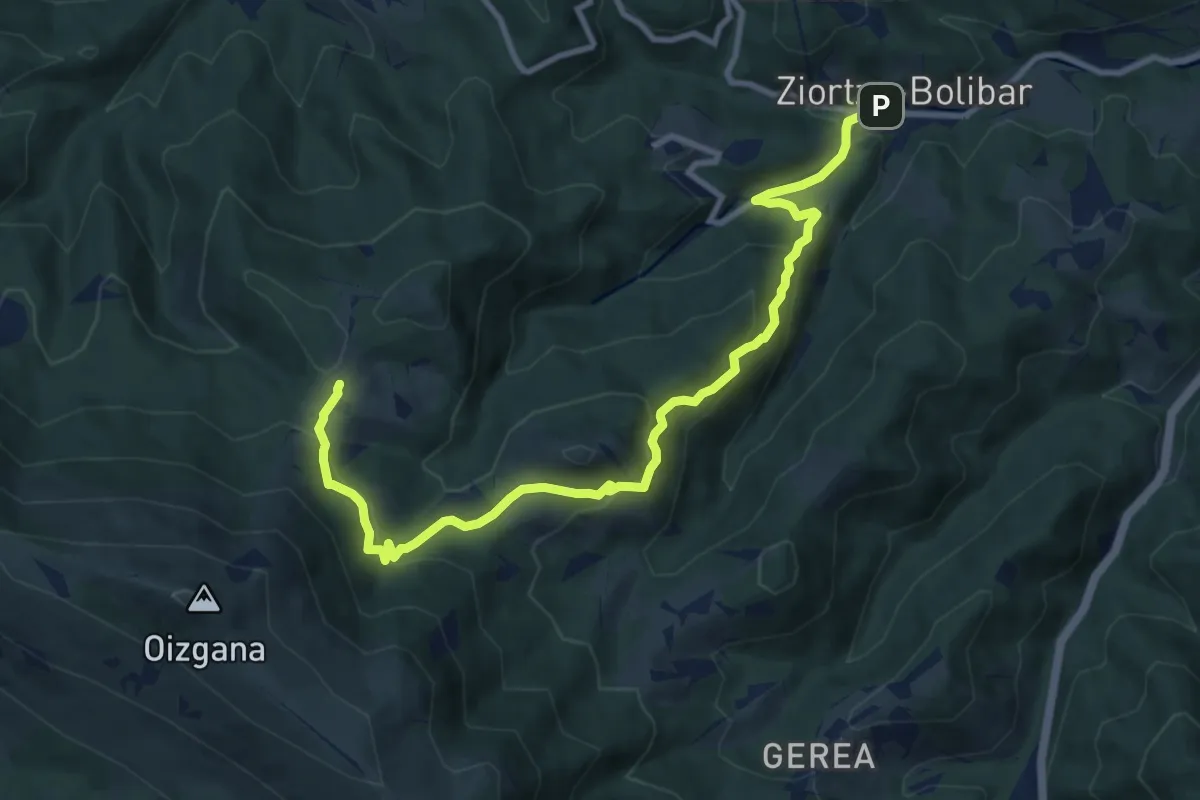
Medium · Trail
Bolibar - Kortaguren baserria
11.6 km · ↑ 681 m · 4 h 13 min · 13 km away
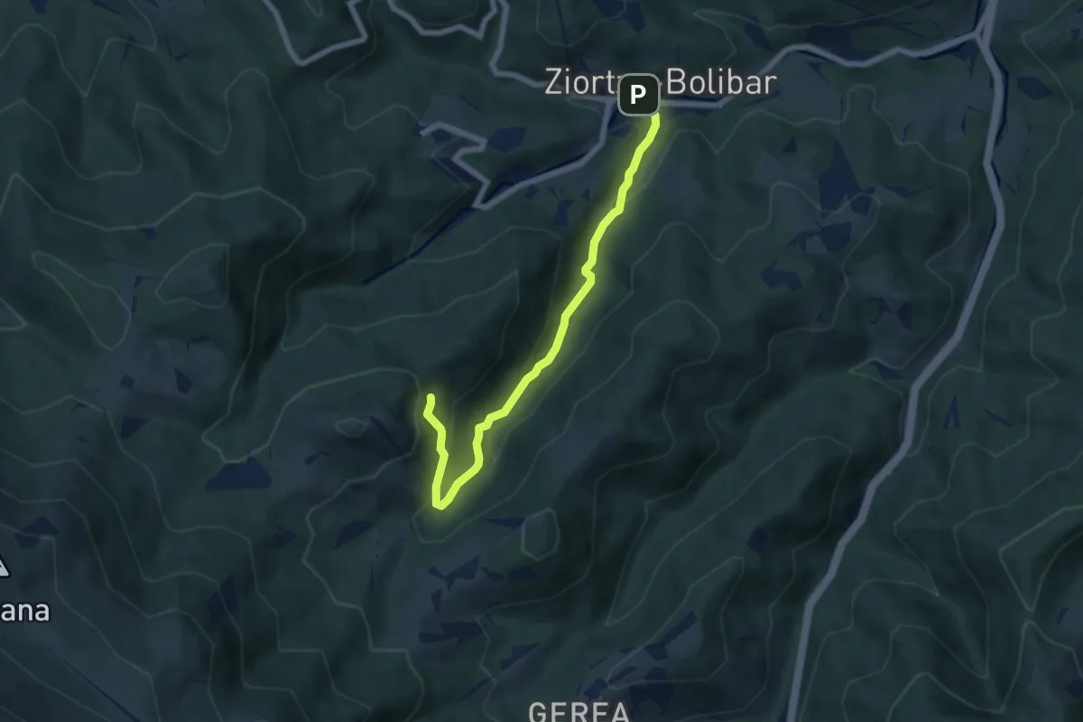
Easy · Trail
Axpeko saihesbidea
6.6 km · ↑ 306 m · 2 h 13 min · 13 km away
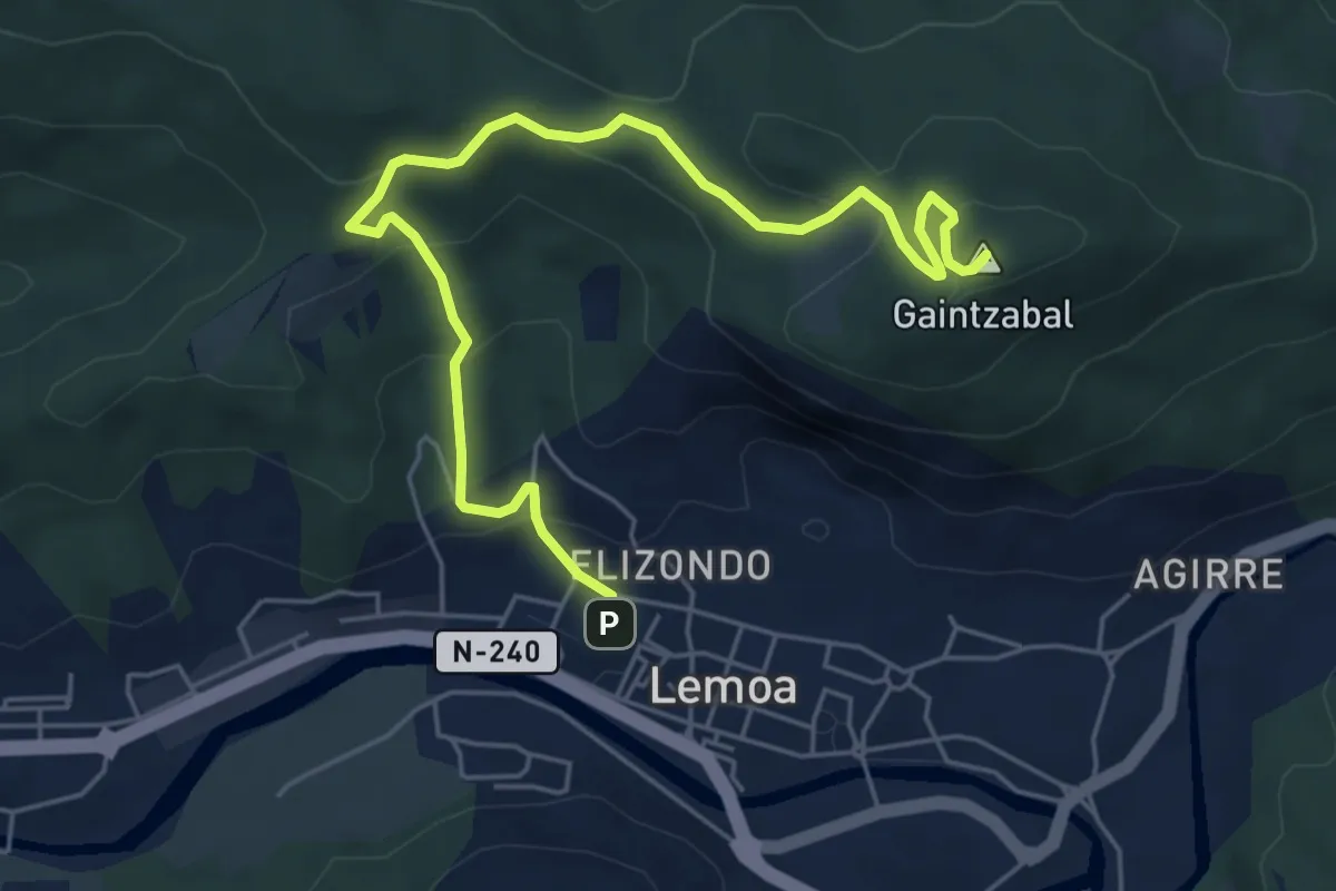
Medium · Summit
Lemoatxa 1937
6.9 km · ↑ 365 m · 2 h 26 min · 14 km away