Trails near Granadilla de Abona
30 hikes starting within 15 km, nearest first.
Nearest first
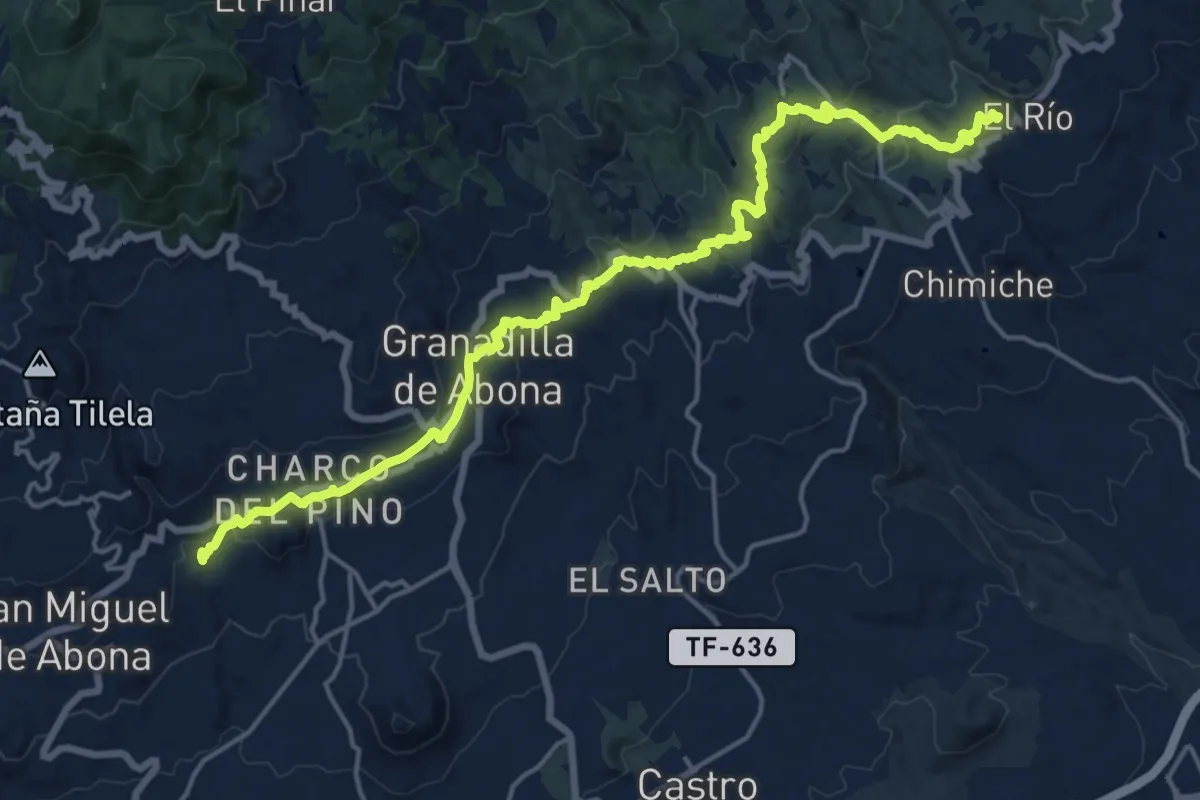
Demanding · Trail
Camino Real de Granadilla
26.0 km · ↑ 849 m · 7 h 59 min · 3 km away
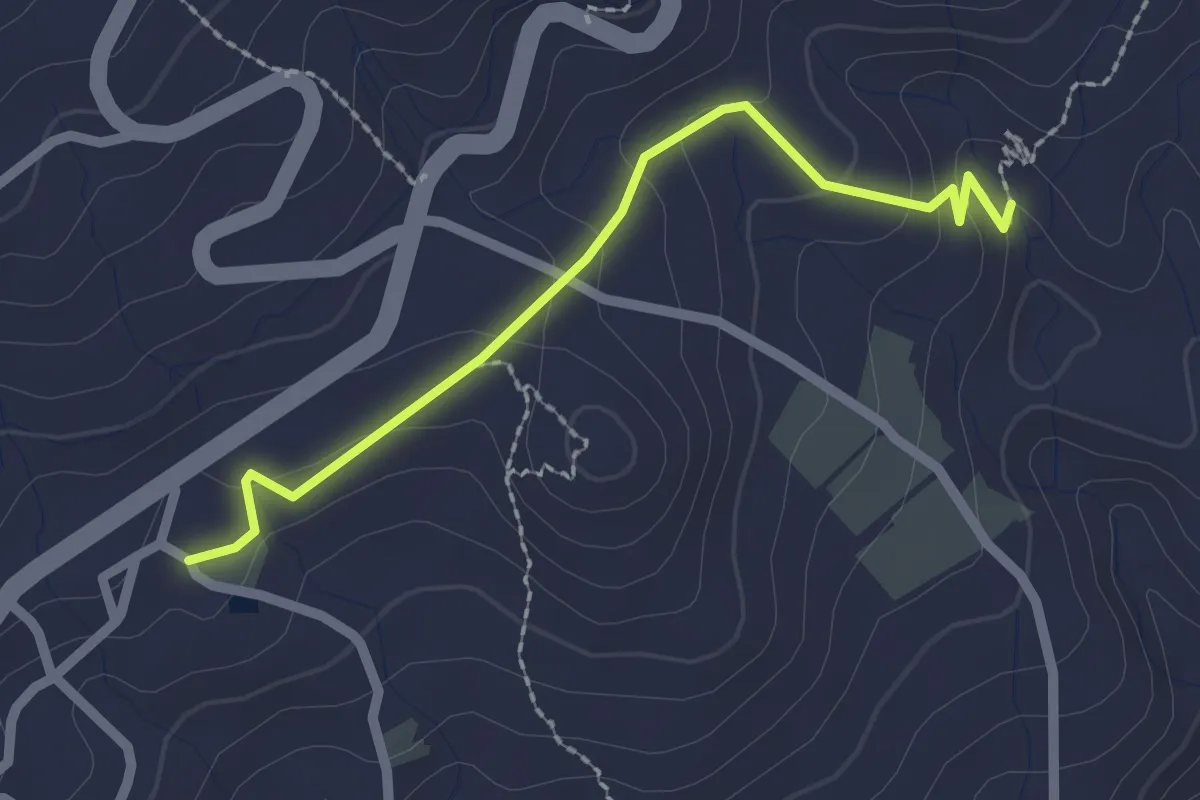
Easy · Trail
Camino Real de San Miguel de Abona
2.8 km · ↑ 78 m · 49 min · 3 km away
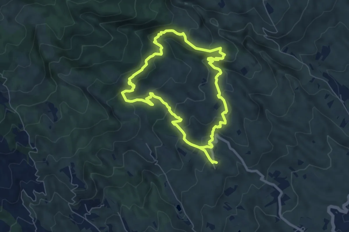
Medium · Trail
Circular Las Vegas
14.7 km · ↑ 758 m · 5 h 6 min · 4 km away
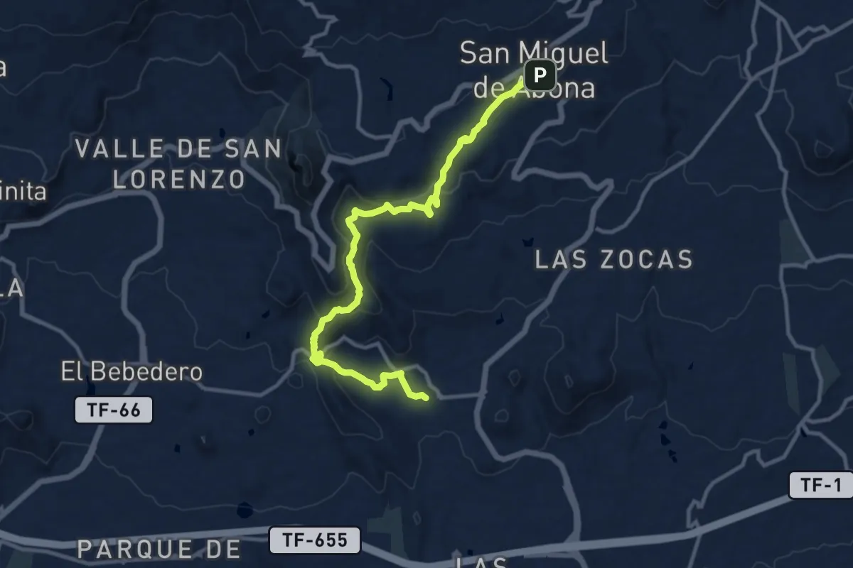
Medium · Trail
San Miguel de Abona-Aldea Blanca
14.8 km · ↑ 577 m · 4 h 44 min · 5 km away
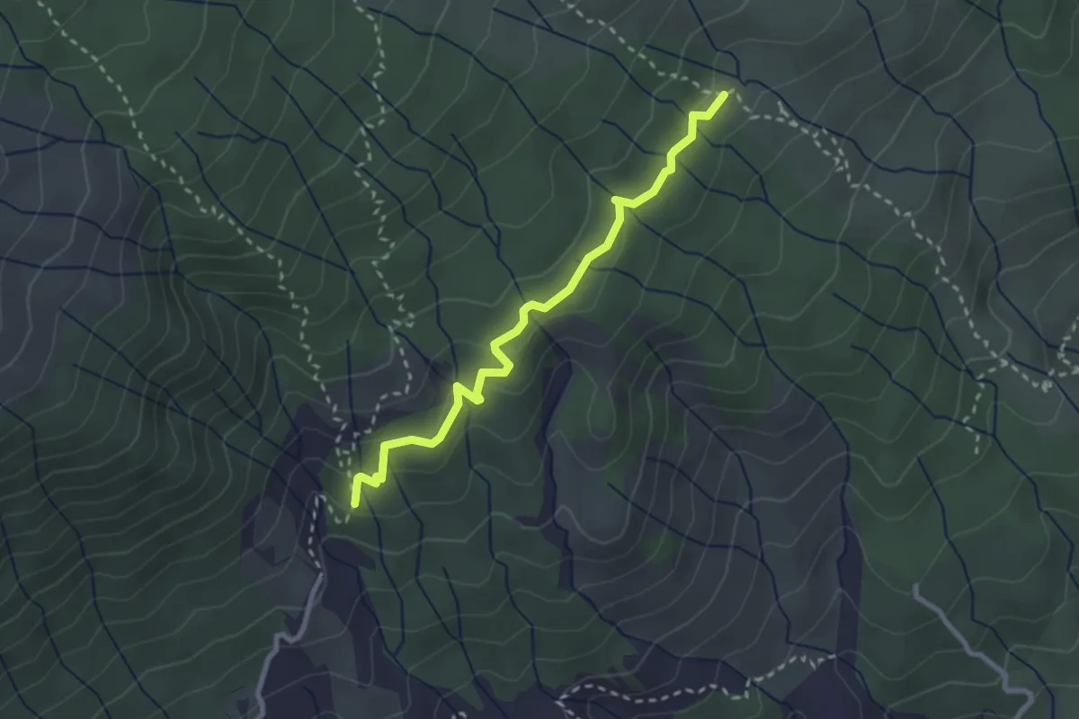
Easy · Trail
Camino de La Corredera
3.4 km · ↑ 136 m · 1 h 6 min · 5 km away
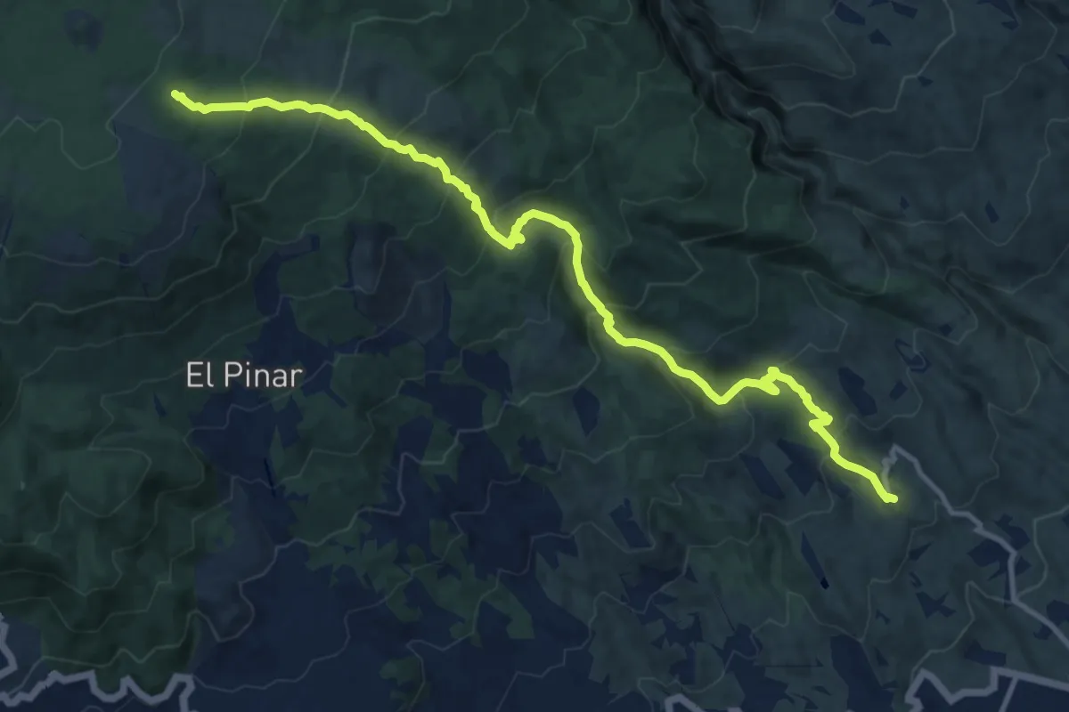
Demanding · Trail
Las Vegas - Los Escurriales
16.5 km · ↑ 1111 m · 6 h 19 min · 6 km away
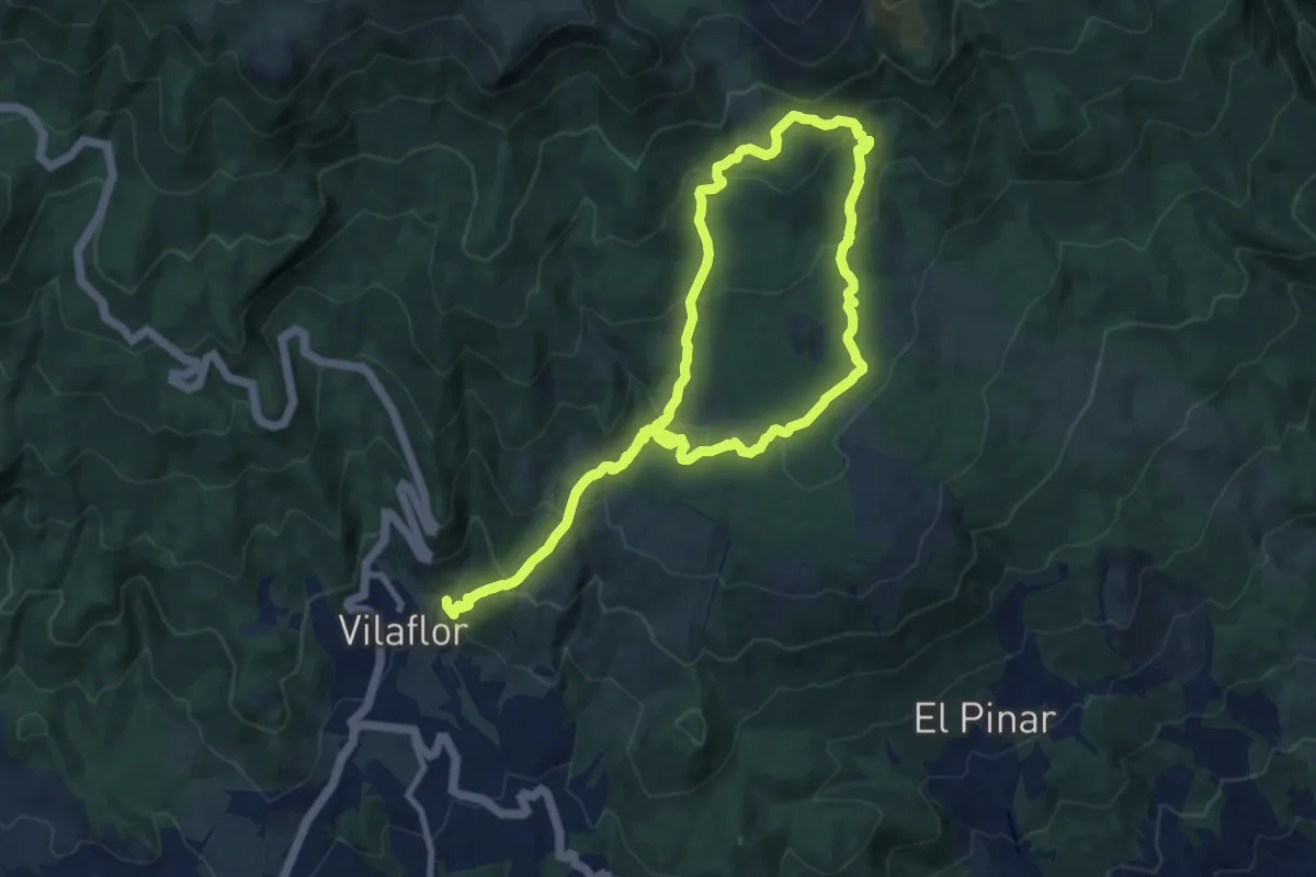
Medium · Trail
Camino de Chasna - Paisaje Lunar
12.1 km · ↑ 578 m · 4 h 18 min · 7 km away
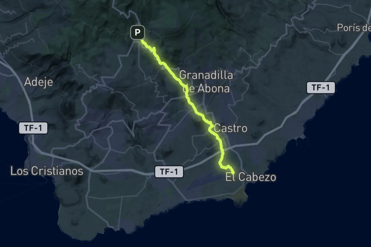
Demanding · Pilgrim path
Camino del Hermano Pedro
18.2 km · ↑ 39 m · 5 h 20 min · 7 km away
Medium · Trail
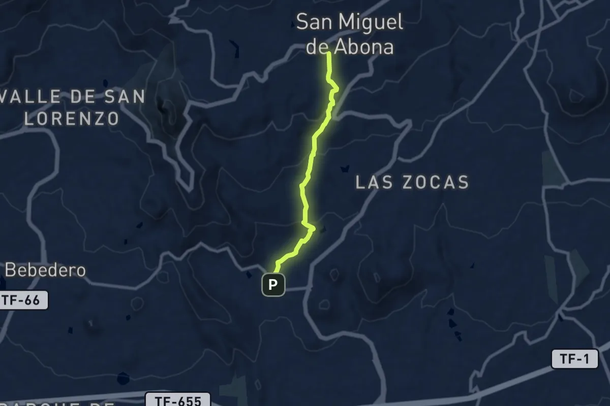
Aldea Blanca
7.9 km · ↑ 379 m · 2 h 41 min · 8 km away
Demanding · Trail
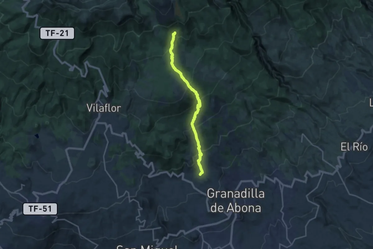
Altos de Granadilla
15.7 km · ↑ 1000 m · 5 h 52 min · 8 km away
Medium · Trail
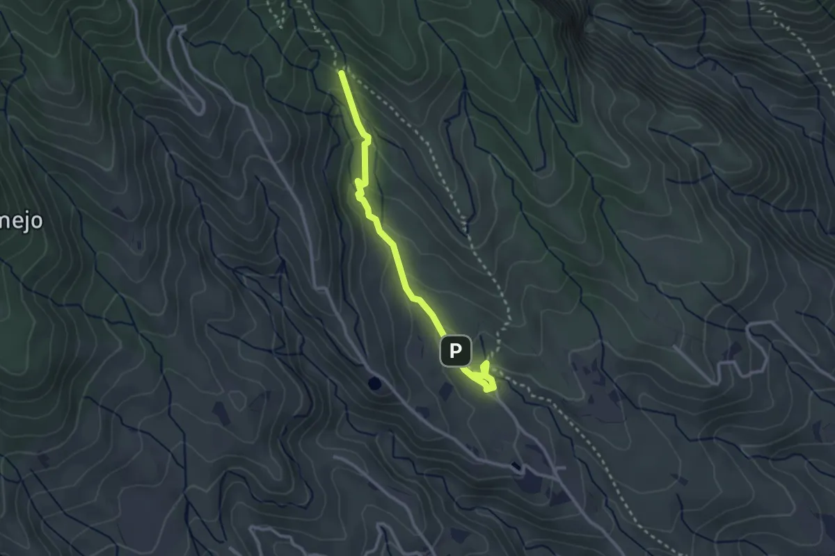
Ortiz - La Puente
3.7 km · ↑ 214 m · 1 h 20 min · 9 km away
Medium · Trail
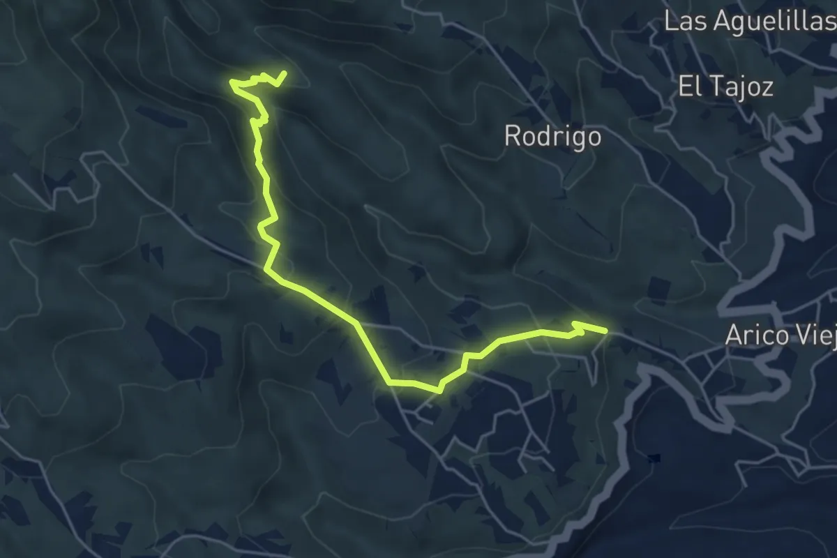
La Sabinita - Tamadaya
6.4 km · ↑ 400 m · 2 h 22 min · 11 km away
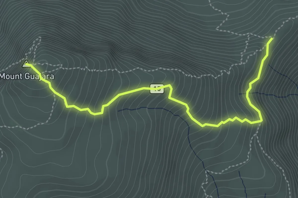
Medium · Summit
Alto de Guajara
4.0 km · ↑ 366 m · 1 h 44 min · 11 km away
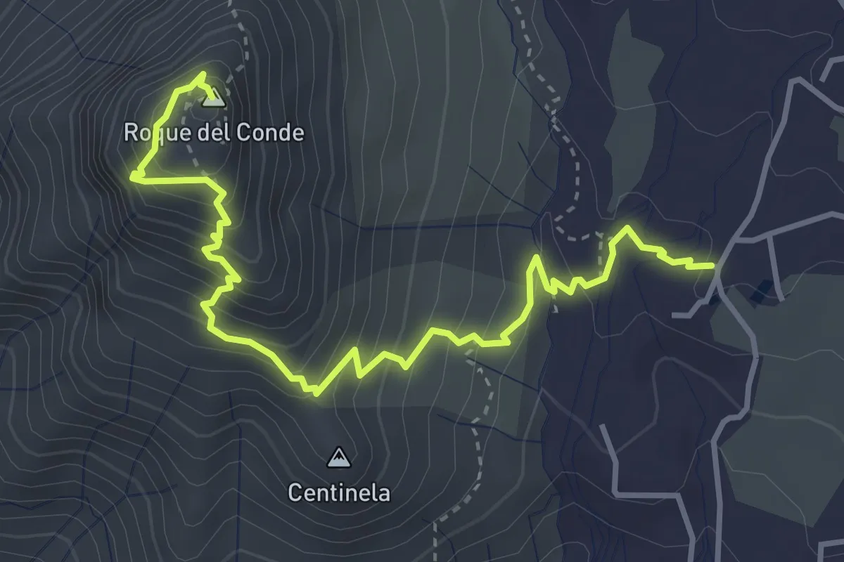
Medium · Summit
Roque del Conde
5.4 km · ↑ 458 m · 2 h 17 min · 11 km away
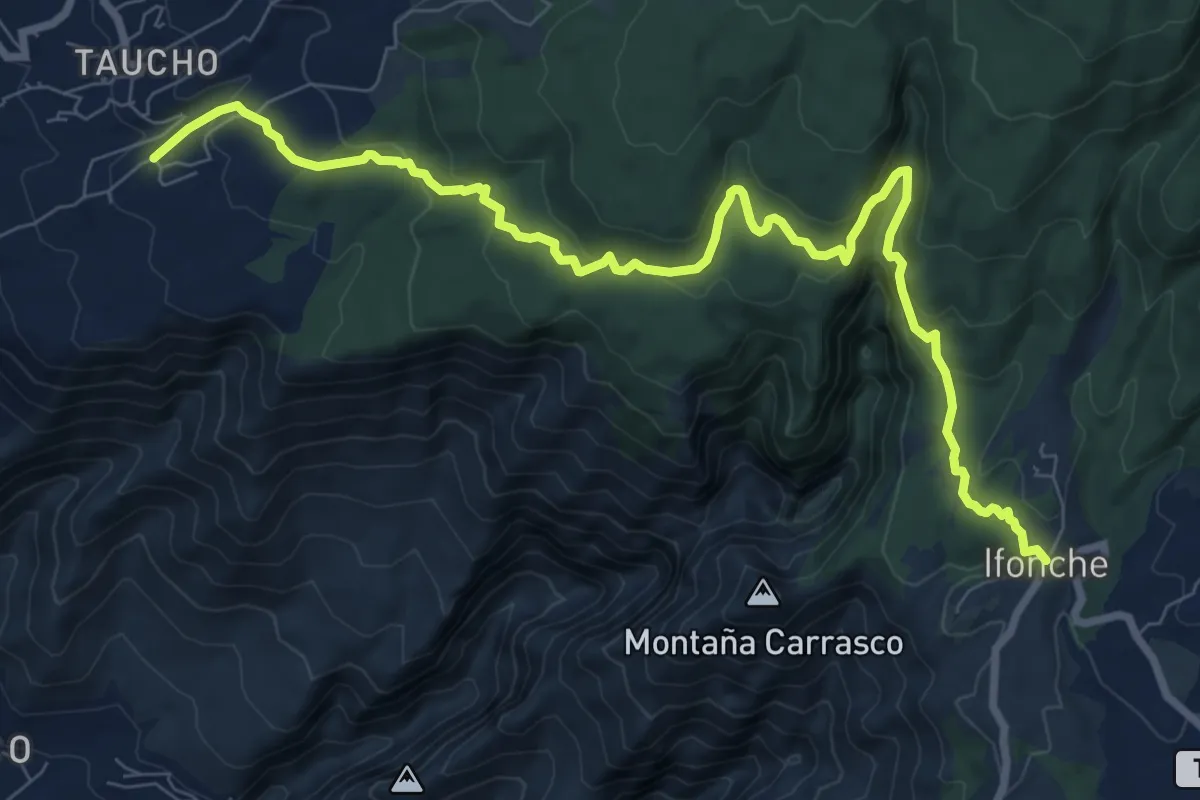
Medium · Trail
Camino de Ifonche
12.8 km · ↑ 569 m · 4 h 16 min · 11 km away
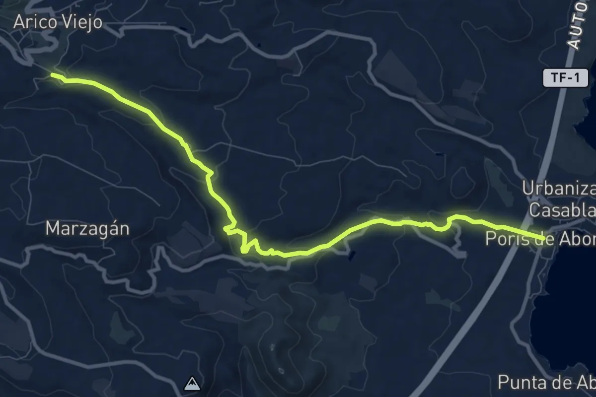
Medium · Trail
Sendero El Porís - Arico Nuevo
12.3 km · ↑ 357 m · 3 h 40 min · 11 km away
Demanding · Trail
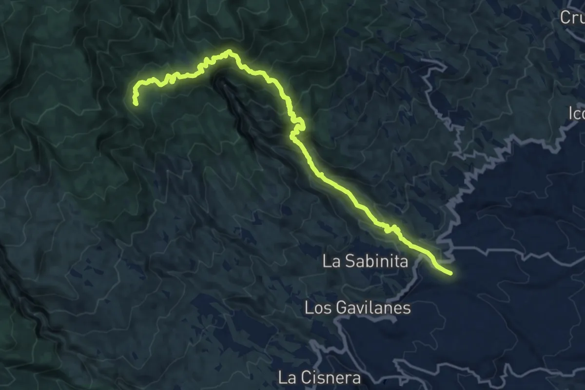
Arico Nuevo - Área Recreativa El Contador
10.8 km · ↑ 1155 m · 4 h 45 min · 11 km away
Demanding · Trail
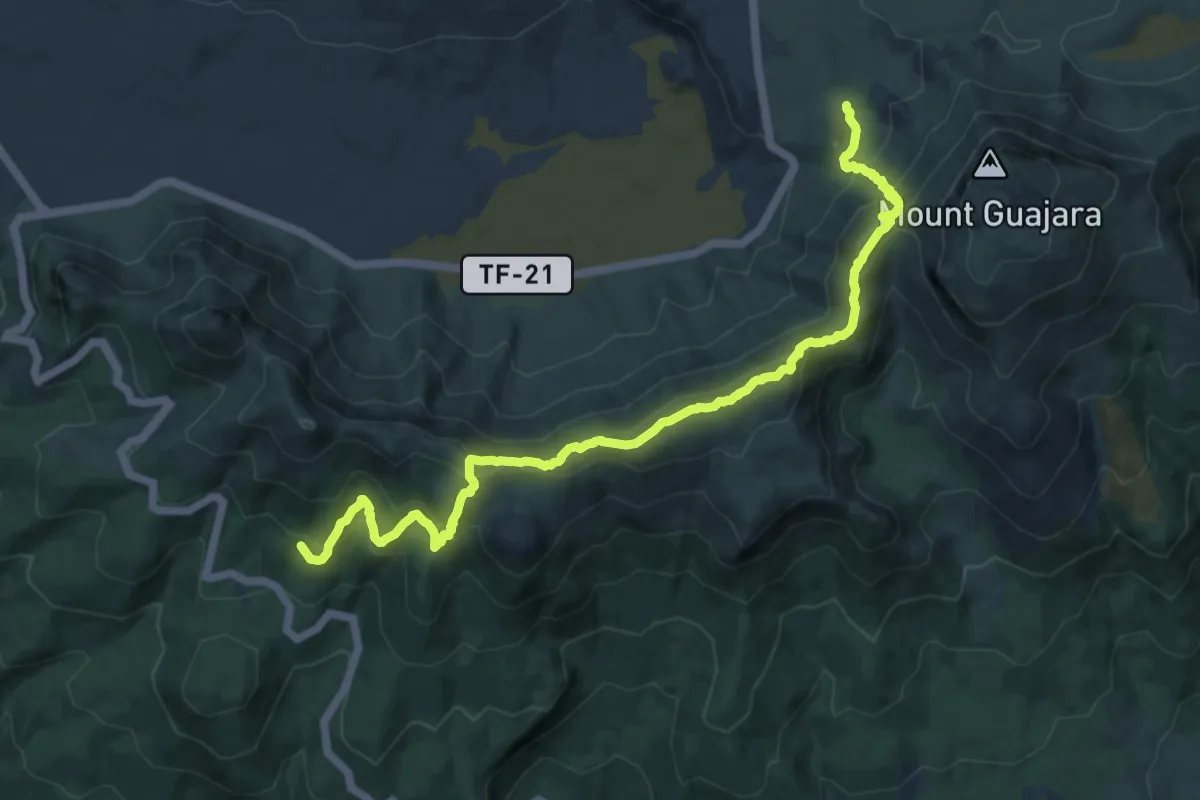
Cumbres de Ucanca
15.5 km · ↑ 938 m · 5 h 42 min · 11 km away
Easy · Summit
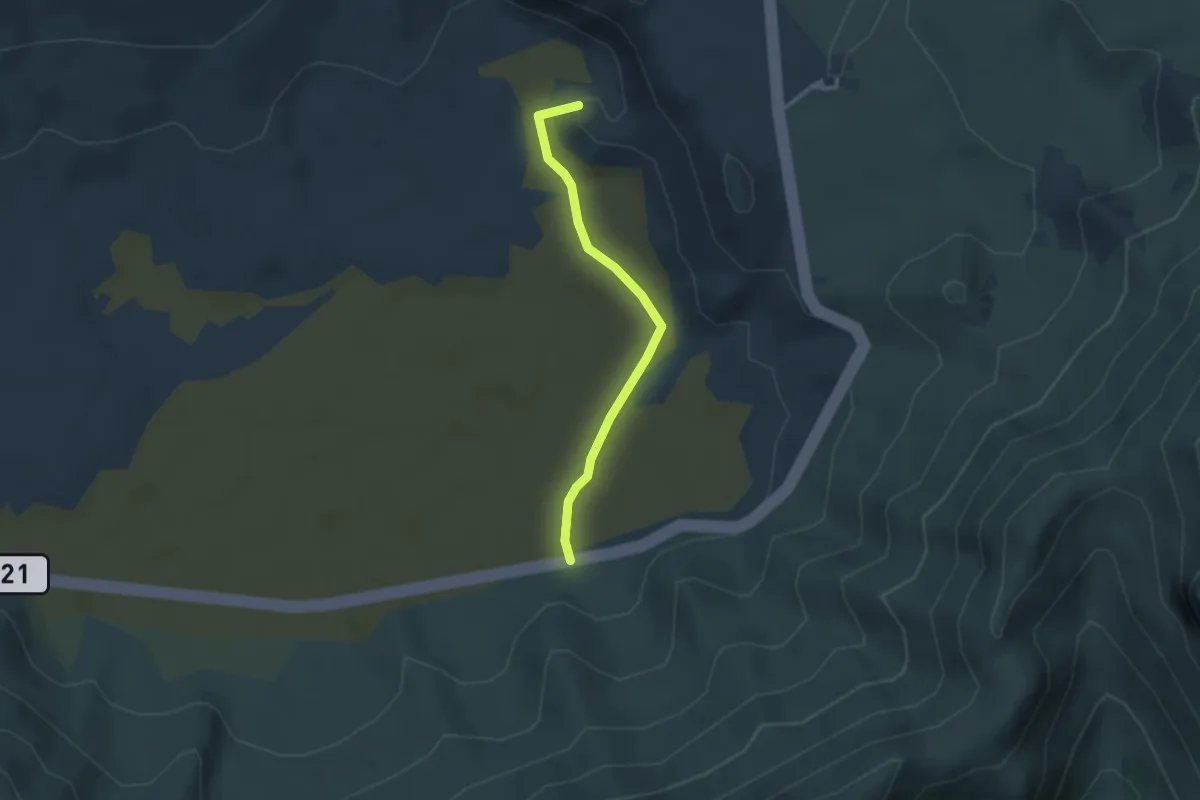
Ucanca
3.3 km · ↑ 22 m · 50 min · 11 km away
Medium · Trail
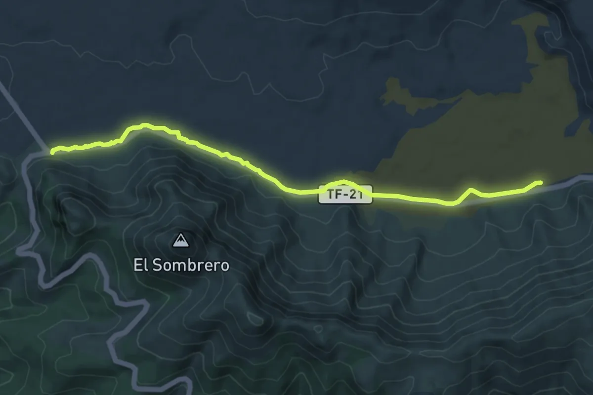
Llano de Ucanca-Boca Tauce
9.4 km · ↑ 68 m · 2 h 22 min · 11 km away
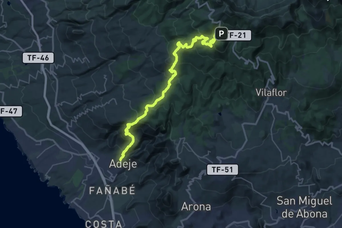
Medium · Trail
Camino de Teresme
17.7 km · ↑ 180 m · 5 h 42 min · 12 km away
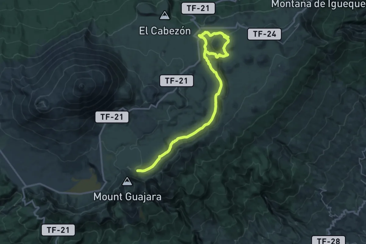
Demanding · Trail
Arenas Negras
18.3 km · ↑ 342 m · 5 h 21 min · 12 km away
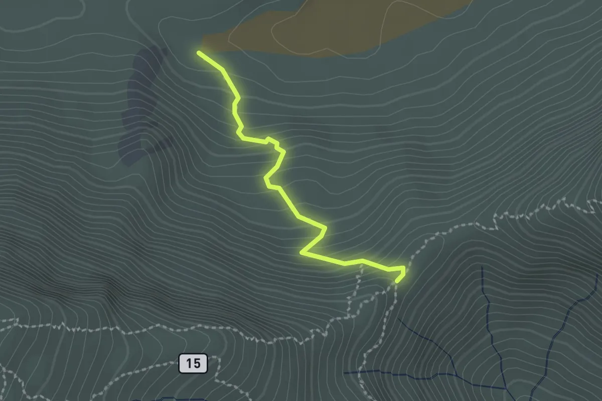
Medium · Trail
Degollada de Guajara
2.3 km · ↑ 191 m · 57 min · 12 km away
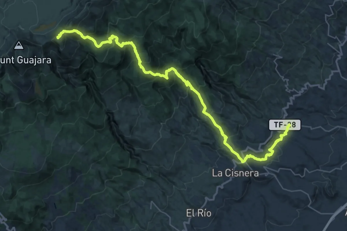
Demanding · Summit
Mar a cumbre de Arico
41.6 km · ↑ 2463 m · 15 h 10 min · 12 km away
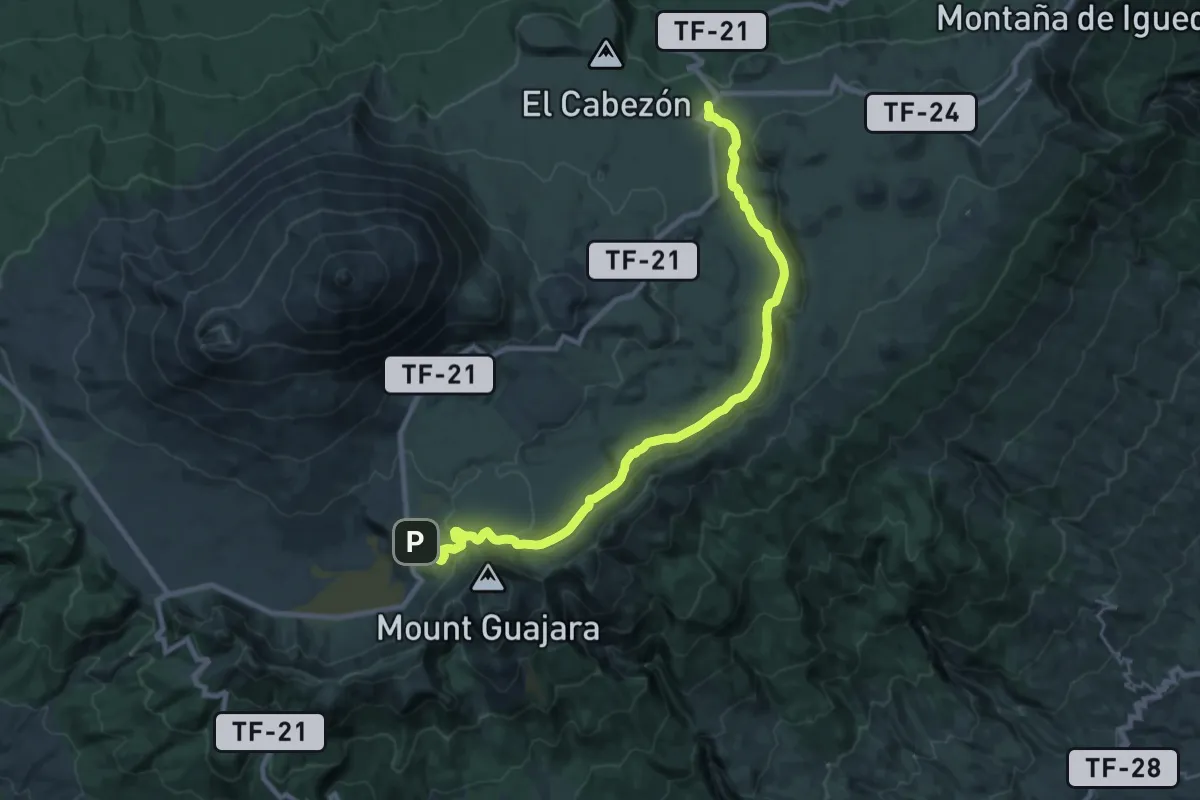
Medium · Trail
Siete Cañadas
16.3 km · ↑ 242 m · 4 h 39 min · 12 km away
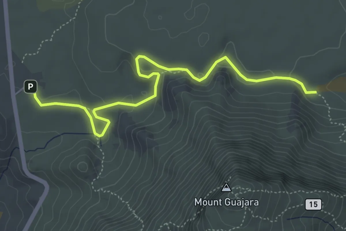
Medium · Trail
Degollada de Guajara - Parador de las Cañadas del Teide
7.1 km · ↑ 208 m · 2 h 8 min · 12 km away
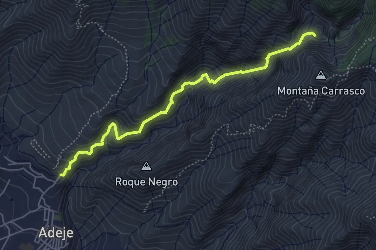
Medium · Trail
Barranco del Infierno
6.1 km · ↑ 706 m · 2 h 58 min · 12 km away
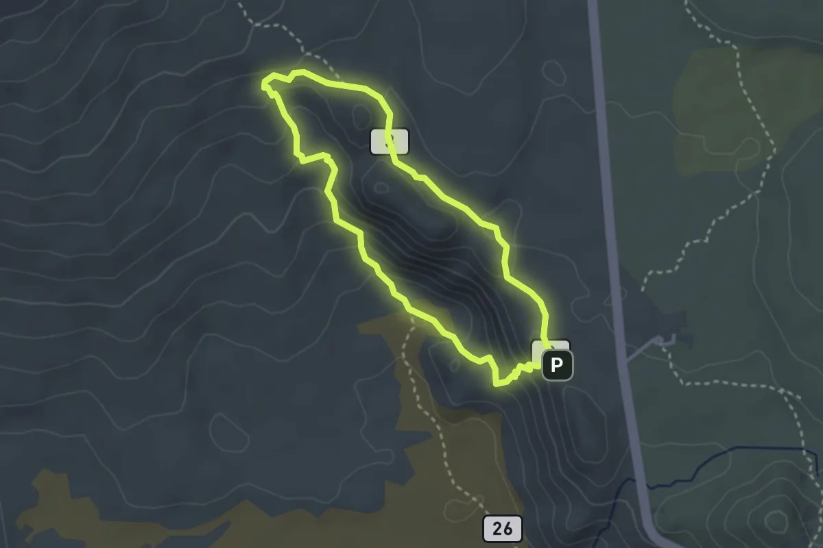
Medium · Summit
Roques de García
3.4 km · ↑ 164 m · 1 h 12 min · 12 km away
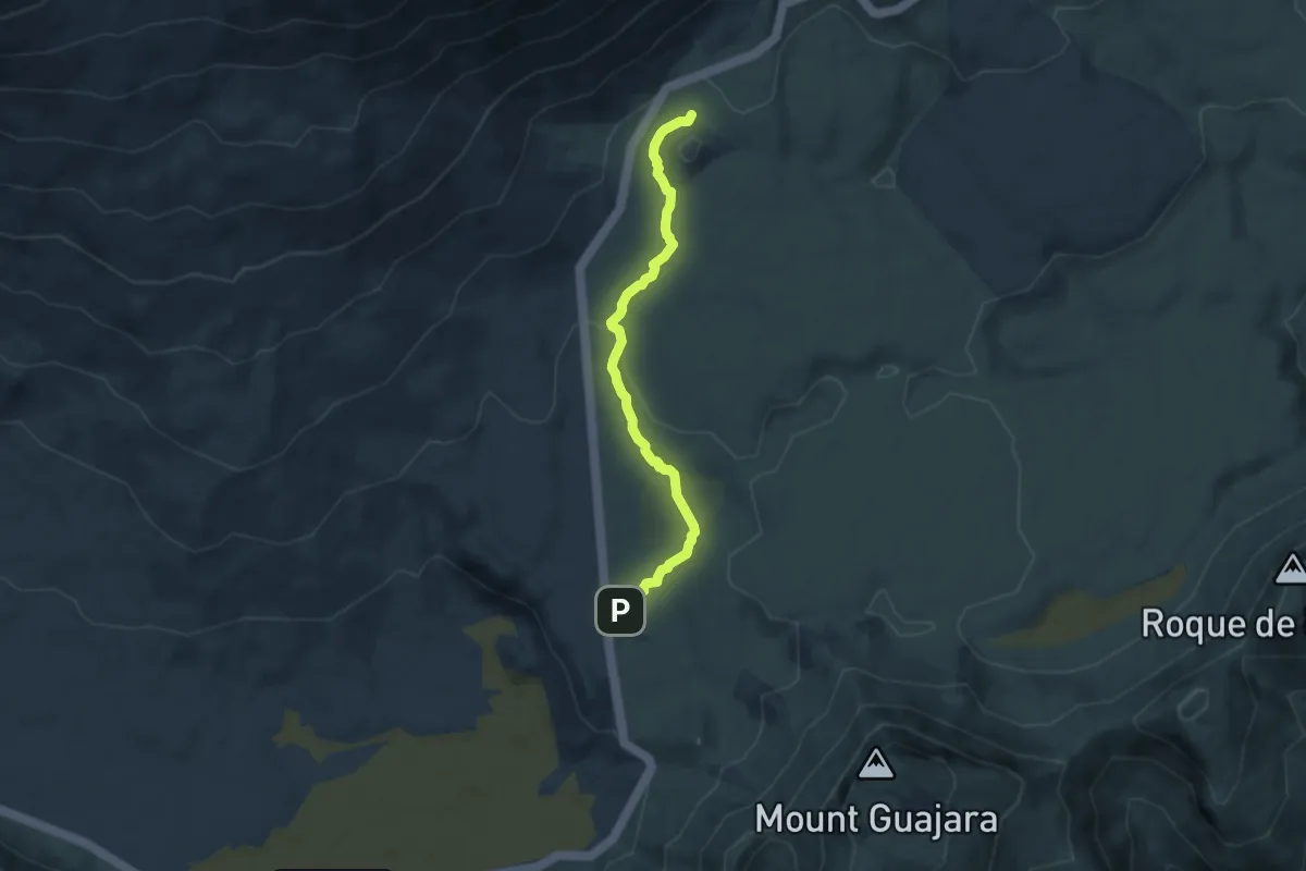
Easy · Trail
Majúa
7.7 km · ↑ 157 m · 2 h 9 min · 13 km away
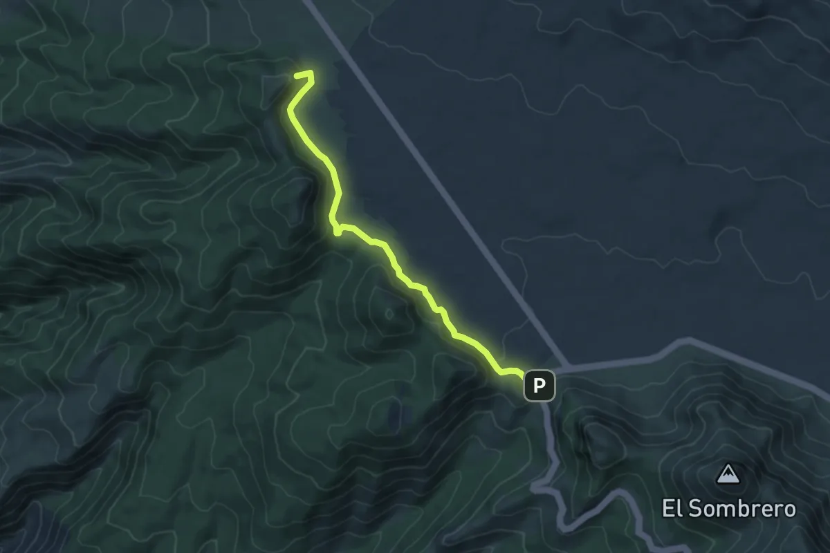
Easy · Summit
Chavao
7.1 km · ↑ 189 m · 2 h 5 min · 14 km away