Trails near Guadix
19 hikes starting within 15 km, nearest first.
Nearest first
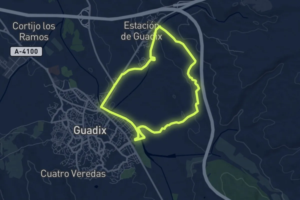
Easy · Trail
Vega de Guadix y Cerro del Humilladero
7.5 km · ↑ 86 m · 2 h 3 min · 1 km away
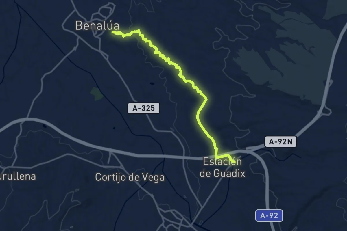
Medium · Trail
Benalúa - Guadix
13.4 km · ↑ 170 m · 3 h 31 min · 6 km away
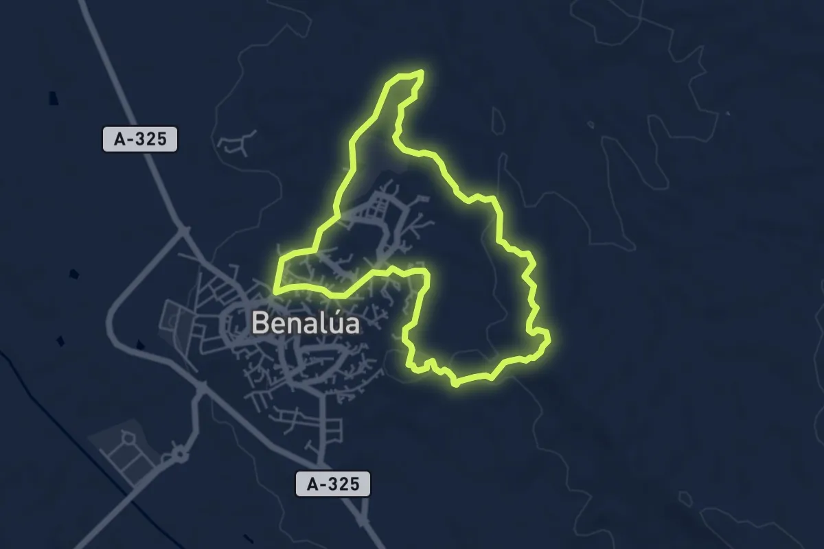
Easy · Trail
Miradores de Benalúa
5.4 km · ↑ 79 m · 1 h 32 min · 6 km away
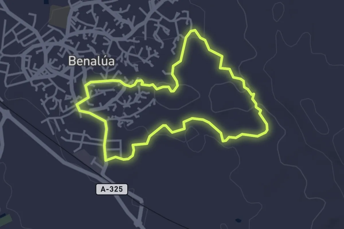
Easy · Trail
Benalúa - Badlands
3.6 km · ↑ 65 m · 1 h 3 min · 6 km away
Medium · Trail
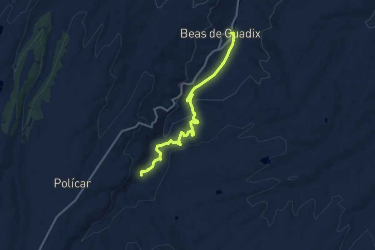
Beas de Guadix-Molino la Cuesta
8.3 km · ↑ 275 m · 2 h 33 min · 6 km away
Medium · Trail
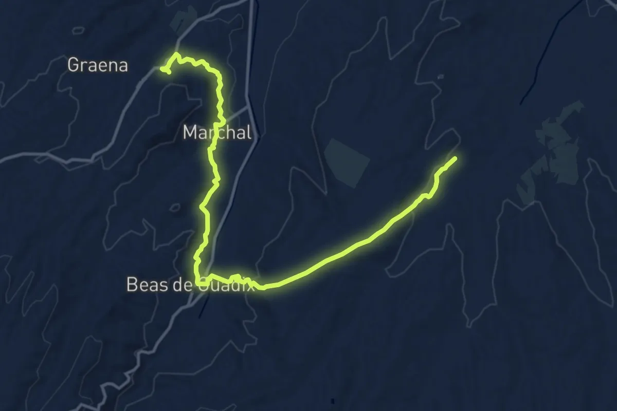
Río Alhama - Paulenca
16.2 km · ↑ 399 m · 4 h 42 min · 6 km away
Easy · Trail
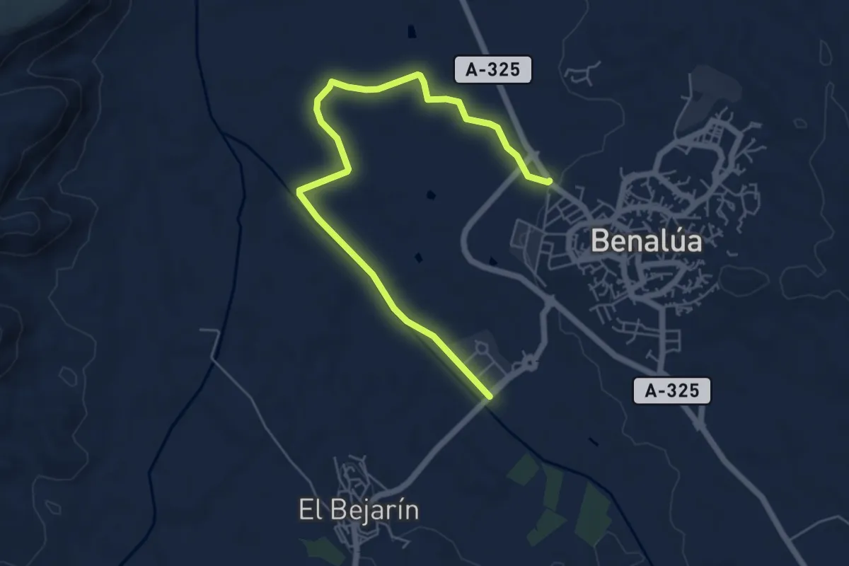
Vega de Benalúa
7.3 km · ↑ 43 m · 1 h 49 min · 7 km away
Easy · Trail
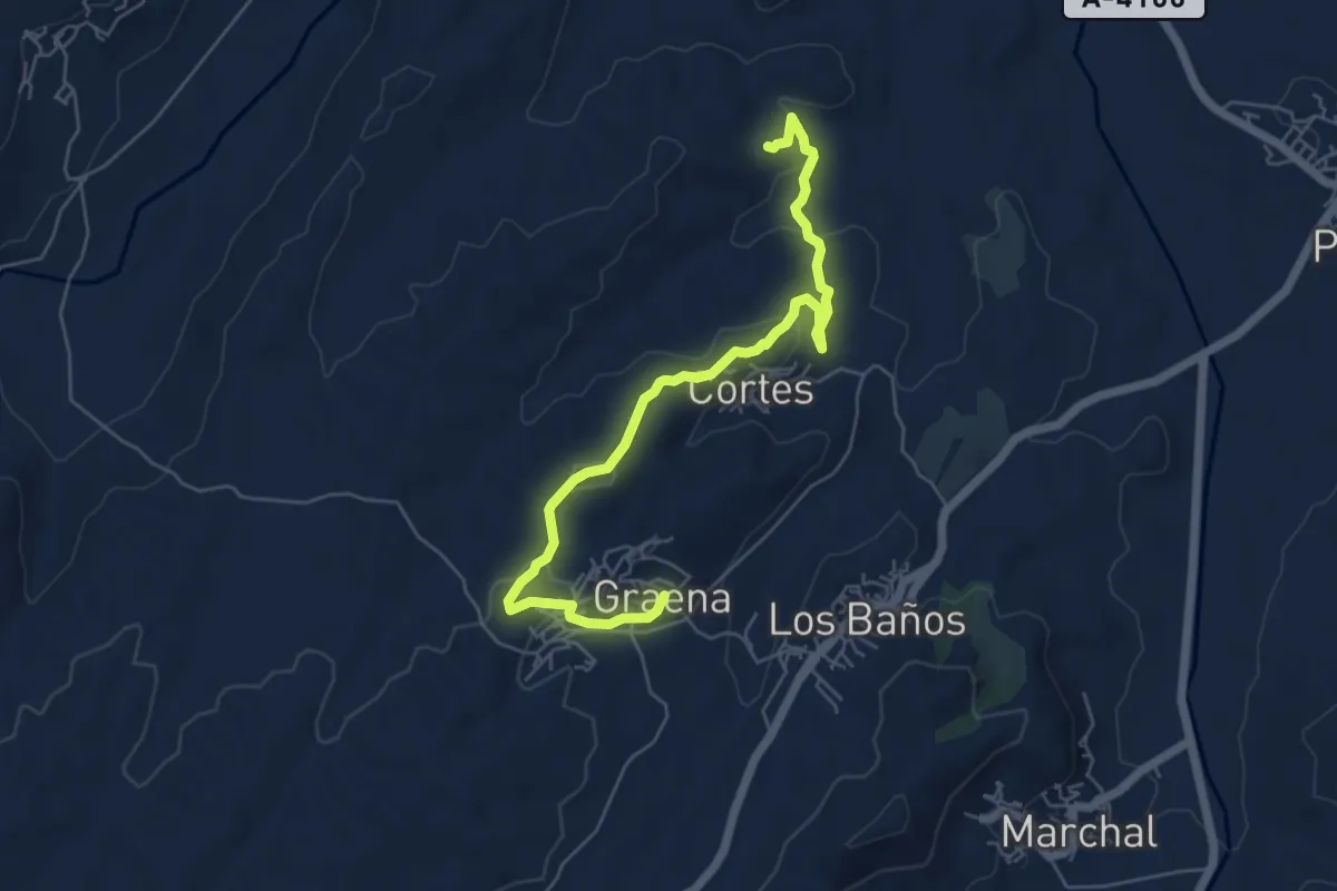
Graena-Cueva de la Tía Micaela
7.2 km · ↑ 177 m · 2 h 5 min · 7 km away
Easy · Trail
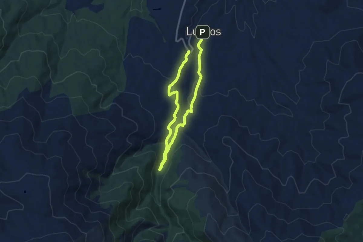
Río Alhama
6.8 km · ↑ 174 m · 2 h 7 min · 12 km away
Easy · Trail
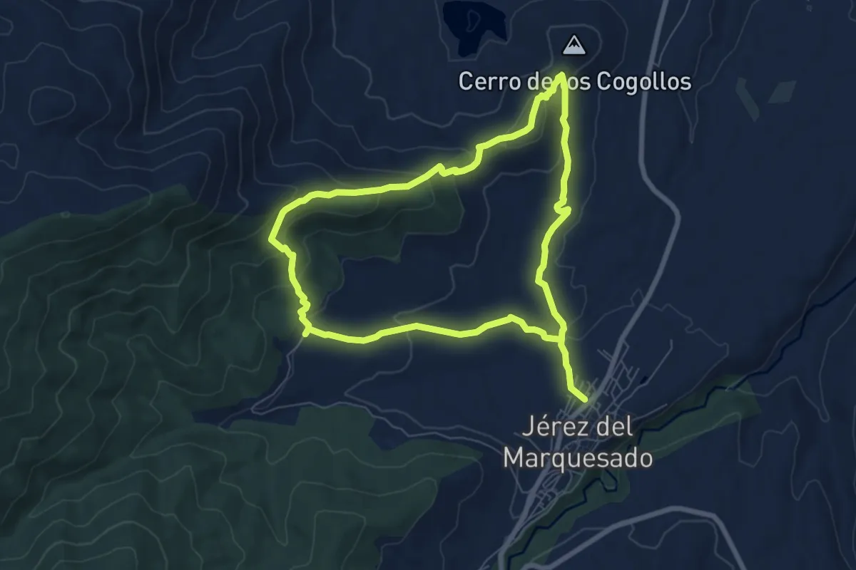
Sendero Alrután y Minas de Santa Constanza
7.5 km · ↑ 267 m · 2 h 27 min · 13 km away
Medium · Trail
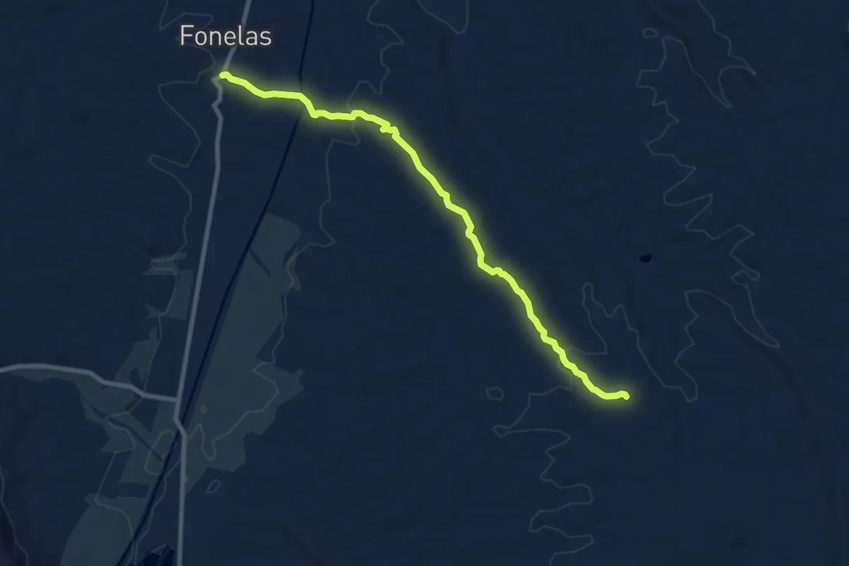
Fonelas-San Torcuato
9.3 km · ↑ 165 m · 2 h 33 min · 13 km away
Easy · Trail
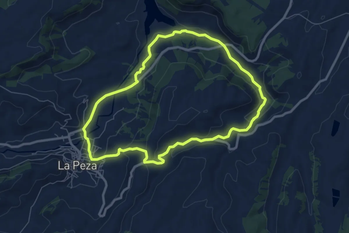
Tajo Burraco
7.2 km · ↑ 191 m · 2 h 13 min · 13 km away
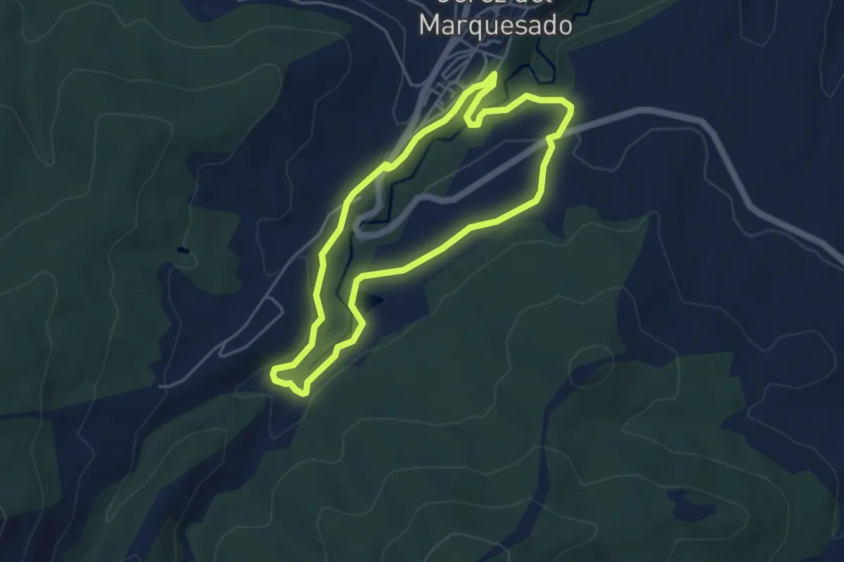
Medium · Trail
Jérez - Balsilla del Partidor
4.6 km · ↑ 100 m · 1 h 22 min · 13 km away
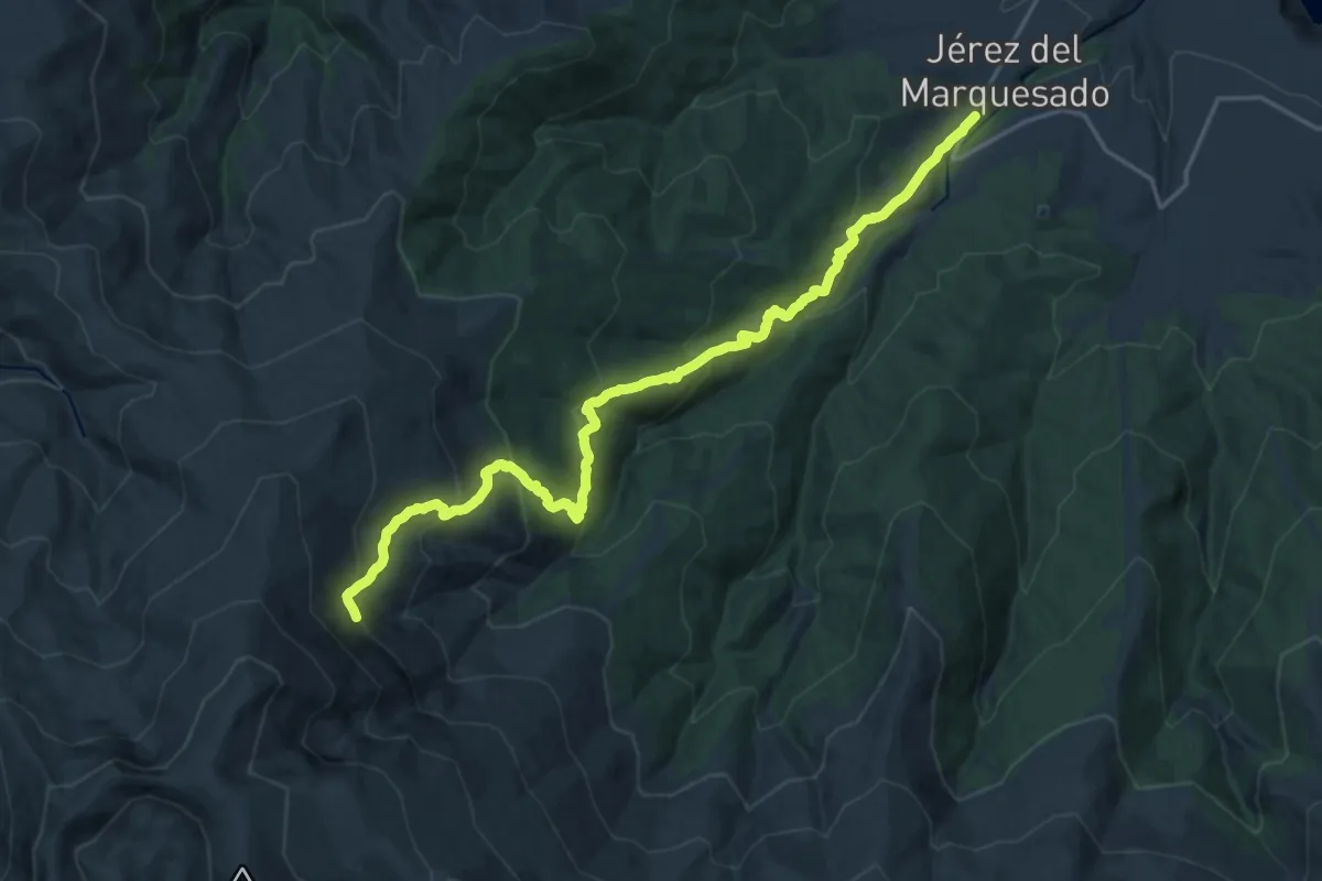
Demanding · Trail
Solidario El Avión
11.8 km · ↑ 1251 m · 5 h 6 min · 14 km away
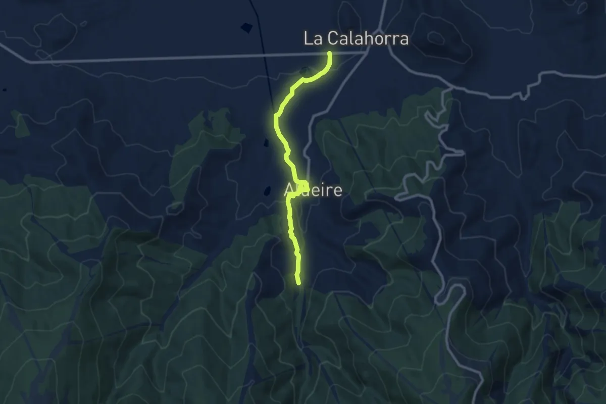
Medium · Trail
Calahorra - Aldeire - A.R. La Rosandrá
9.8 km · ↑ 220 m · 2 h 48 min · 15 km away
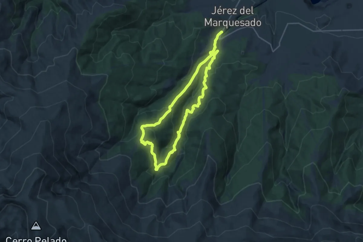
Medium · Summit
Refugio Postero Alto
15.7 km · ↑ 773 m · 5 h 37 min · 15 km away
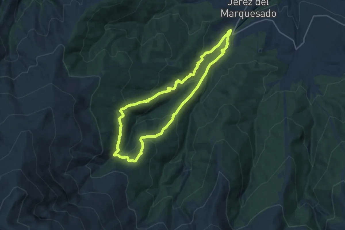
Demanding · Summit
Jérez del Marquesado - Postero Alto
15.0 km · ↑ 781 m · 5 h 27 min · 15 km away
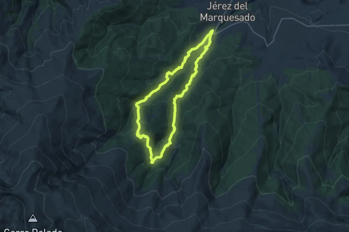
Demanding · Summit
Ruta de los Canales
16.1 km · ↑ 909 m · 5 h 59 min · 15 km away
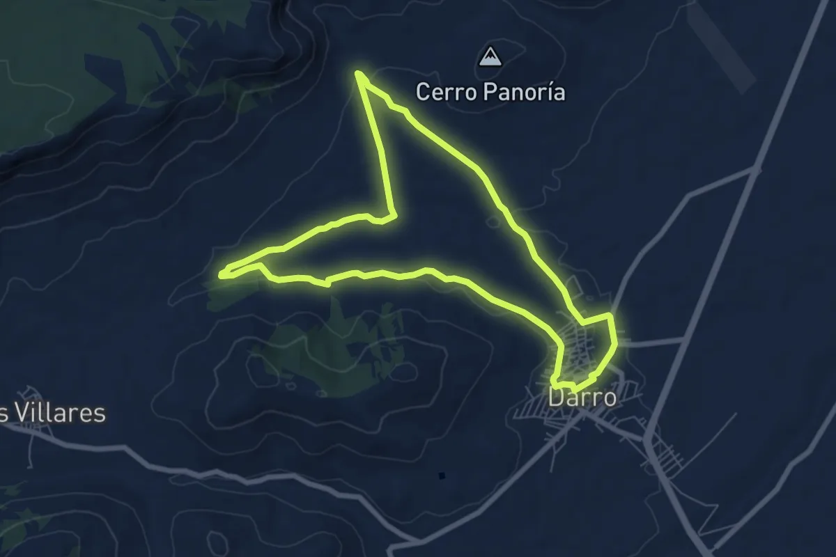
Easy · Trail
Camino del Paleolítico
7.8 km · ↑ 104 m · 2 h 11 min · 15 km away