Trails near Guía de Isora
44 hikes starting within 15 km, nearest first.
Nearest first
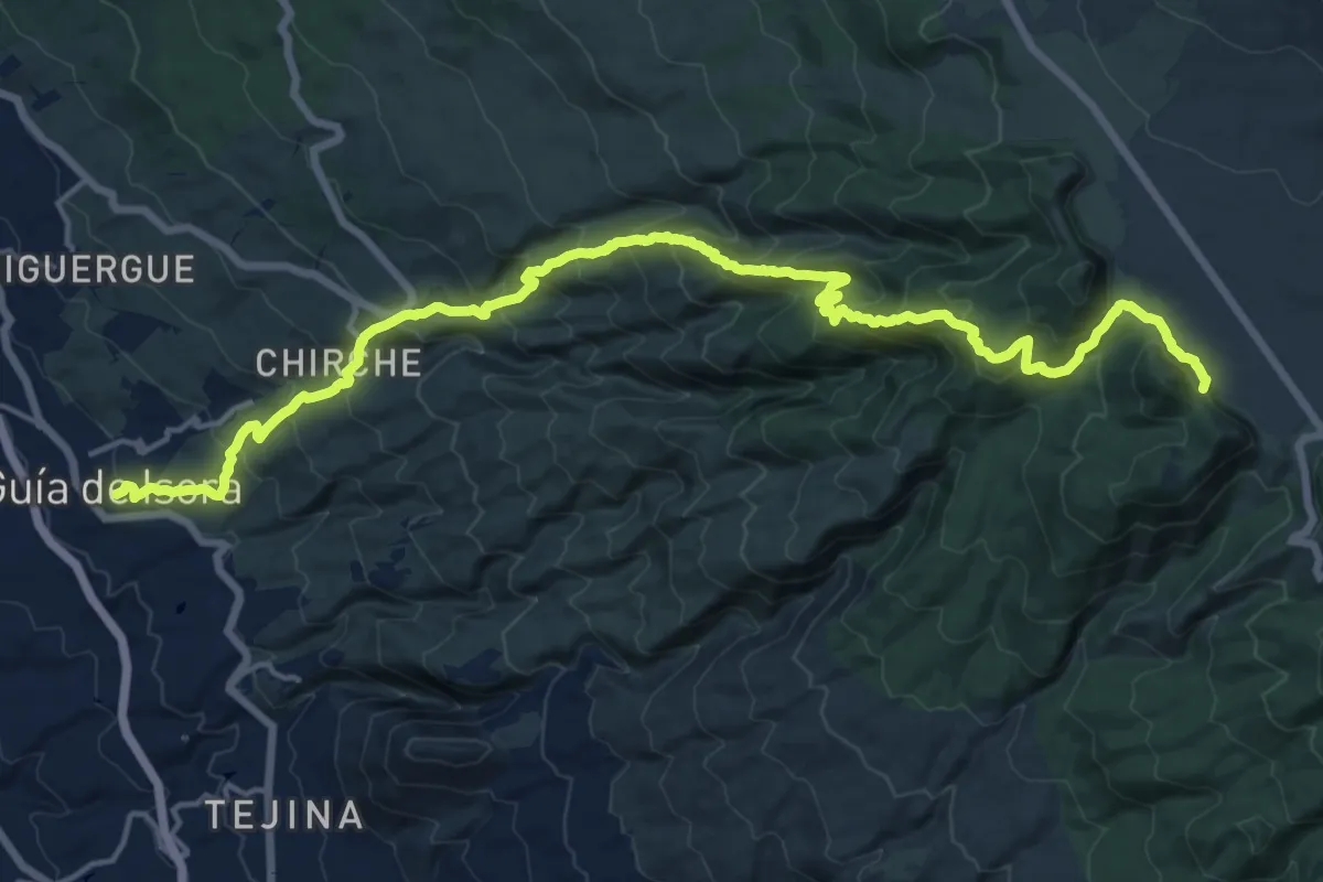
Demanding · Summit
Guía de Isora - Tágara - Boca Tauce
25.9 km · ↑ 1859 m · 10 h 9 min · under 1 km away
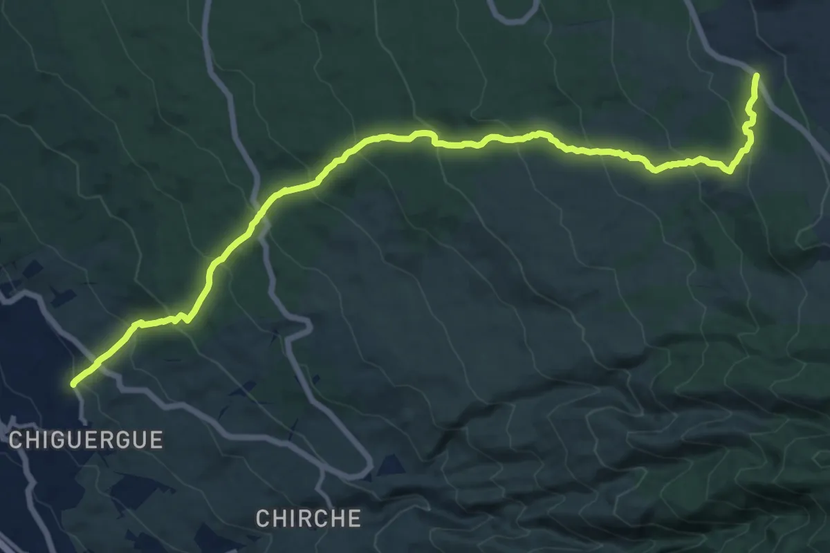
Demanding · Trail
Chiguergue - Chasogo
18.2 km · ↑ 1154 m · 6 h 48 min · 2 km away
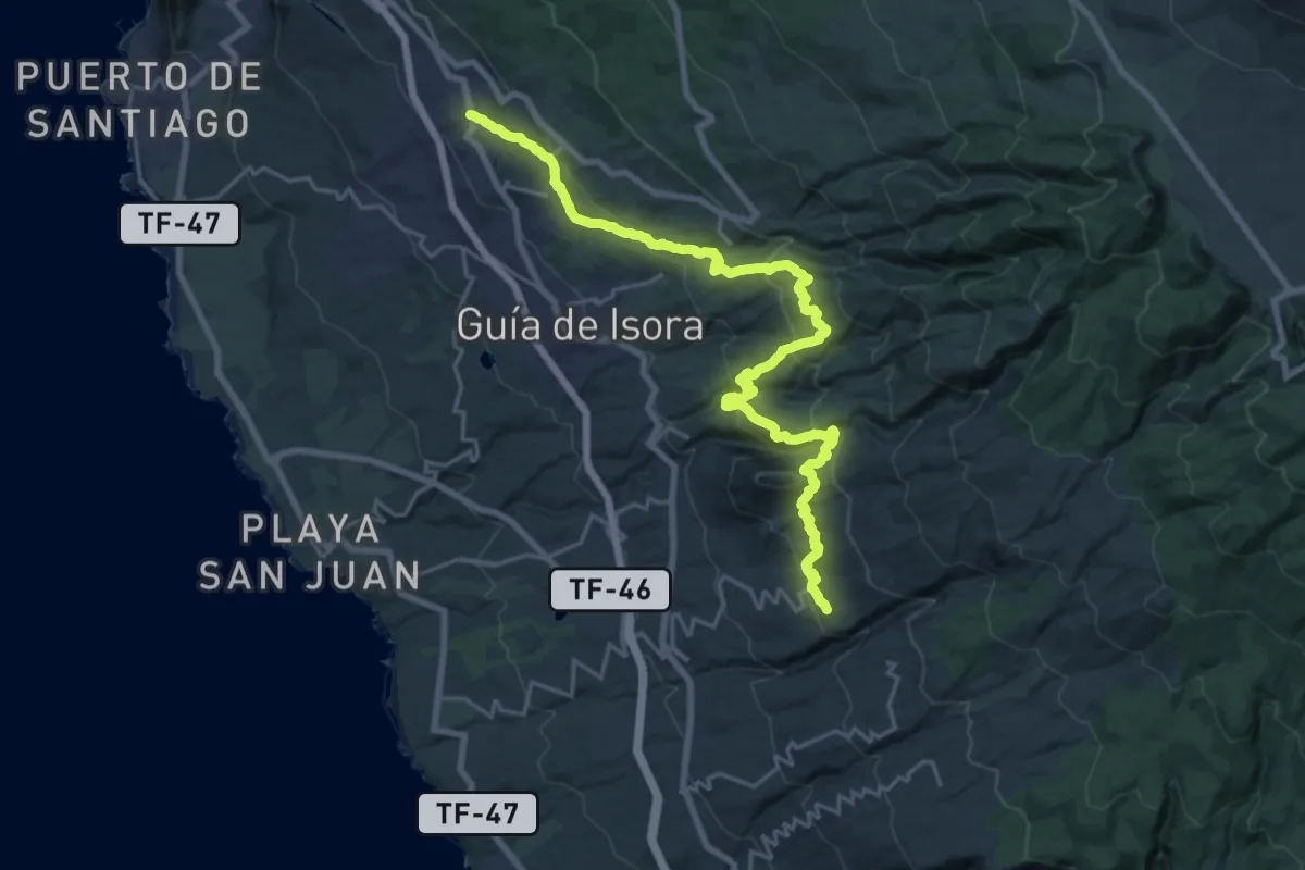
Demanding · Trail
Chío - Vera de Erques
15.0 km · ↑ 967 m · 5 h 46 min · 3 km away
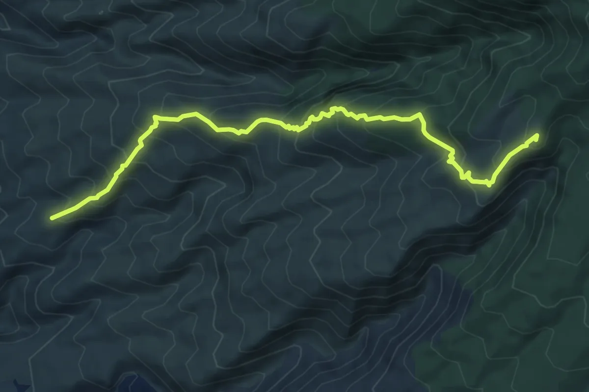
Demanding · Summit
Tágara - El Jaral
9.2 km · ↑ 824 m · 3 h 58 min · 3 km away
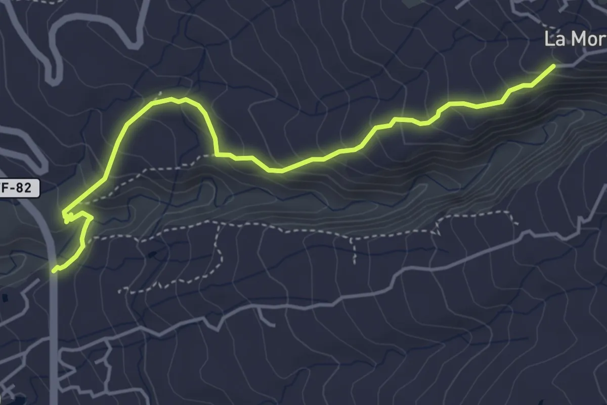
Medium · Trail
Camino de Chacoroche
5.7 km · ↑ 426 m · 2 h 16 min · 5 km away
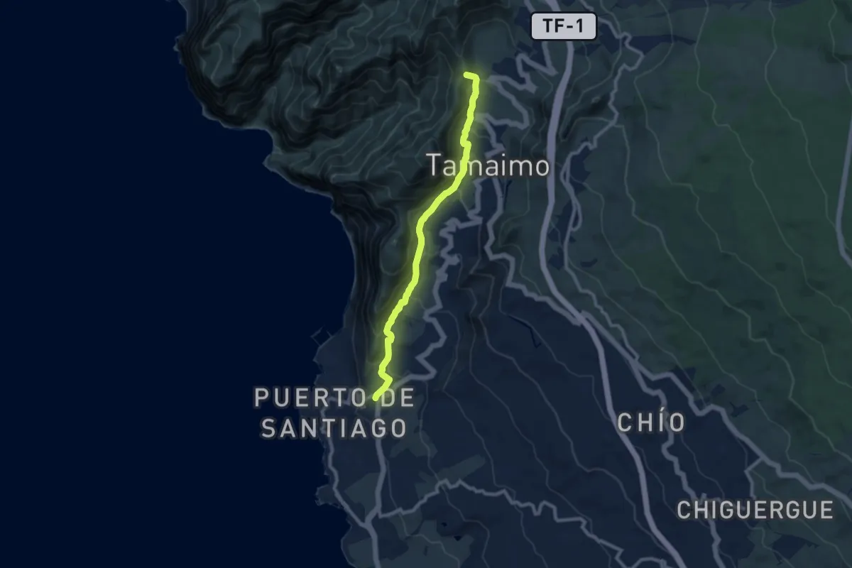
Medium · Summit
Santiago del Teide - Puerto de Santiago
10.6 km · ↑ 646 m · 3 h 54 min · 6 km away
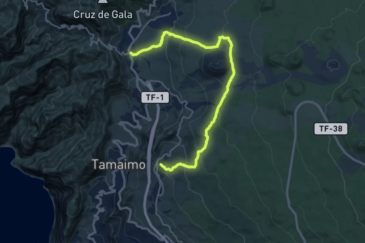
Demanding · Trail
Ruta del Almendro en Flor
18.0 km · ↑ 688 m · 5 h 45 min · 7 km away
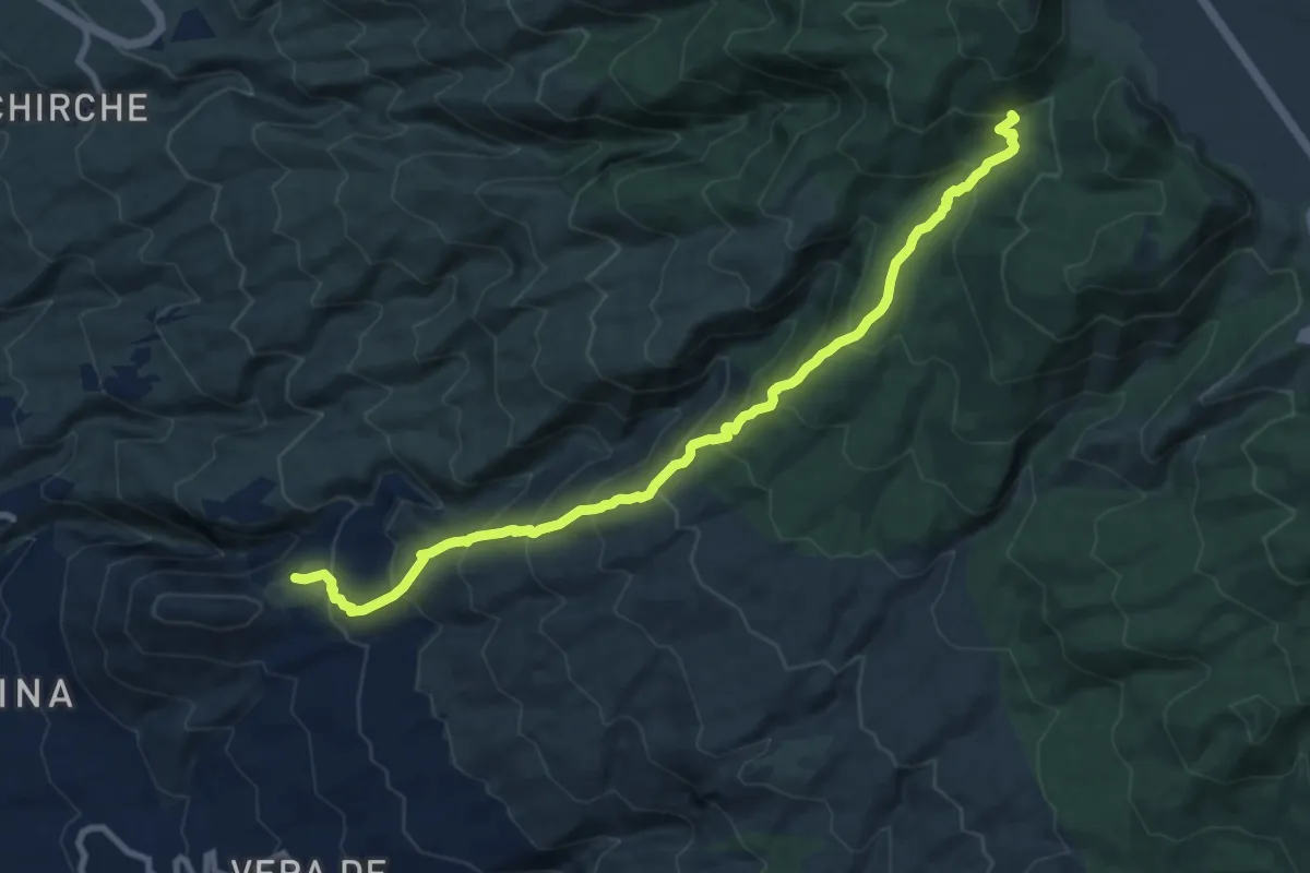
Demanding · Trail
Las Fuentes - Boca de Tauce
12.9 km · ↑ 1039 m · 5 h 18 min · 8 km away
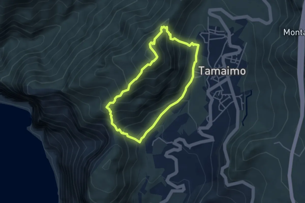
Demanding · Summit
Circular Guama-Tamaimo
3.9 km · ↑ 414 m · 1 h 52 min · 8 km away
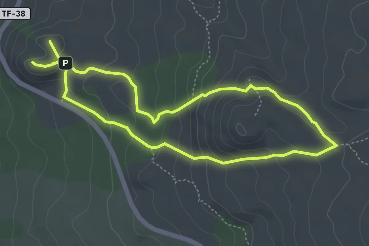
Medium · Summit
Sámara
10.1 km · ↑ 519 m · 3 h 30 min · 8 km away
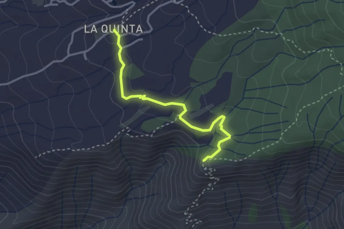
Medium · Trail
Boca del Paso-La Quinta
3.5 km · ↑ 83 m · 1 h · 8 km away
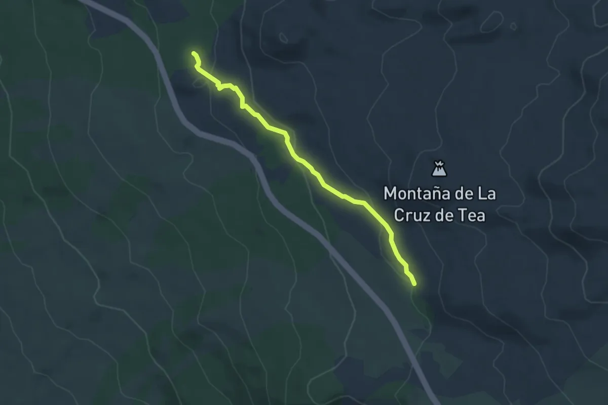
Medium · Trail
Abeque
4.8 km · ↑ 138 m · 1 h 26 min · 8 km away
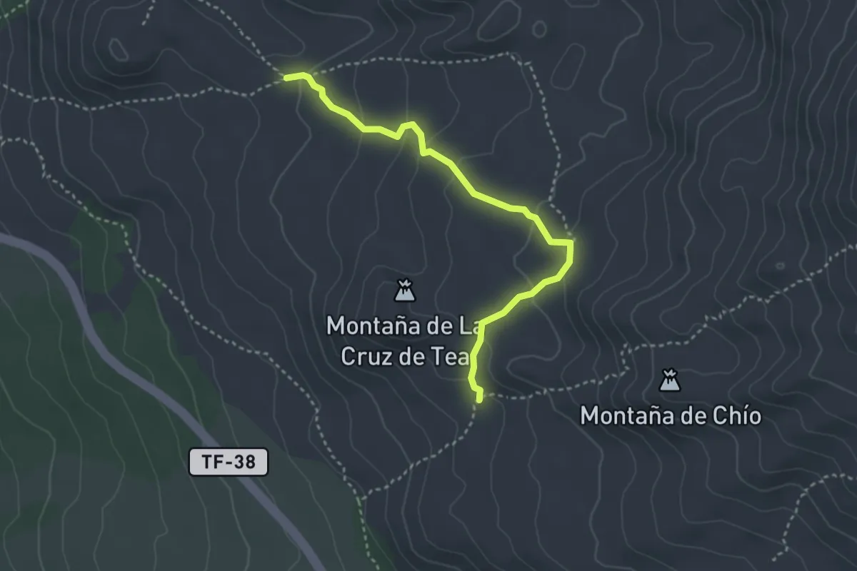
Medium · Trail
Cuevas Negras
4.4 km · ↑ 197 m · 1 h 27 min · 9 km away
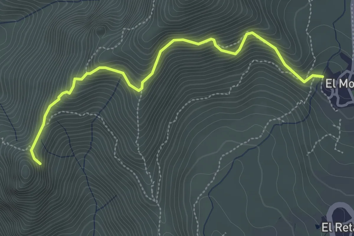
Medium · Summit
Risco Blanco
2.0 km · ↑ 205 m · 58 min · 9 km away
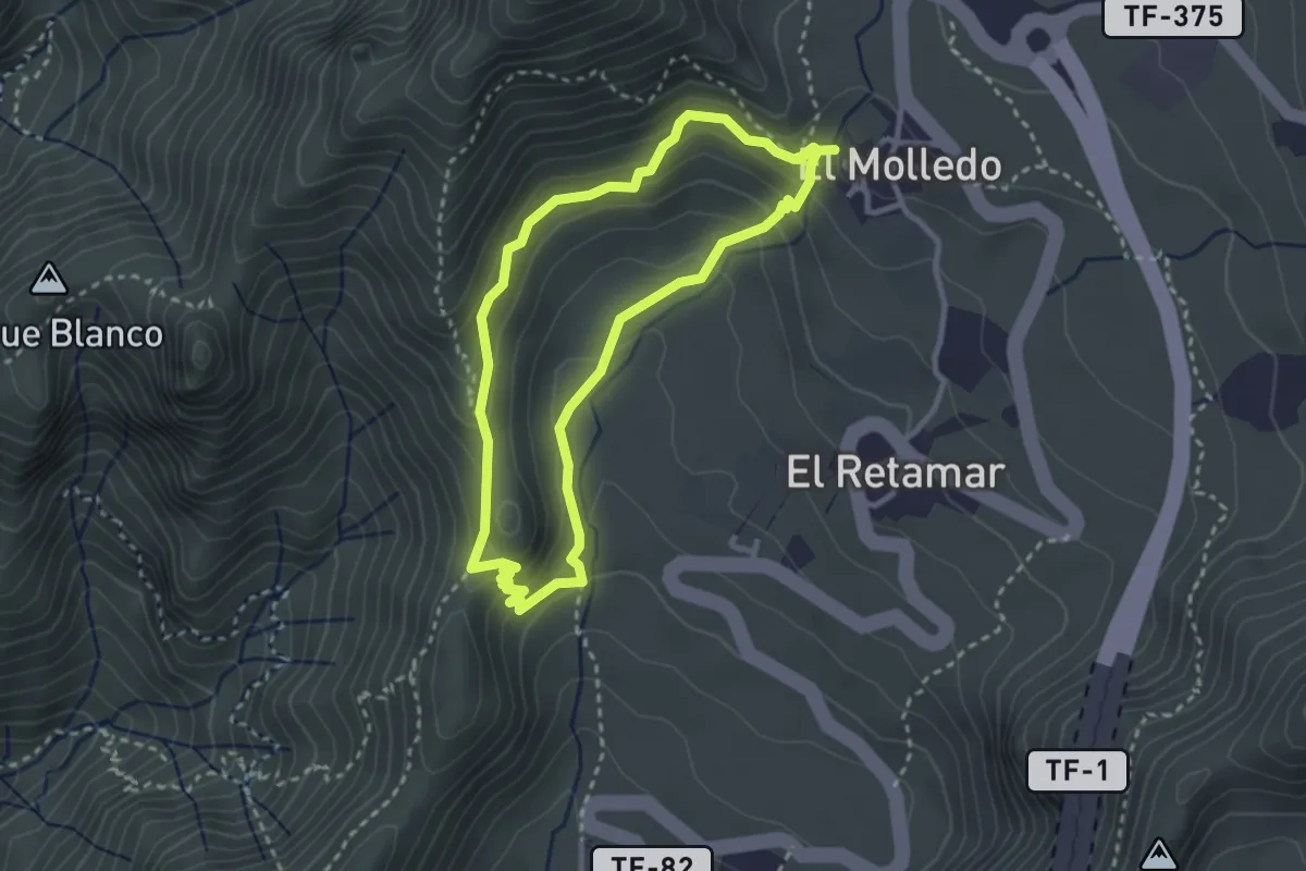
Medium · Summit
Circular El Molledo
3.4 km · ↑ 214 m · 1 h 19 min · 9 km away
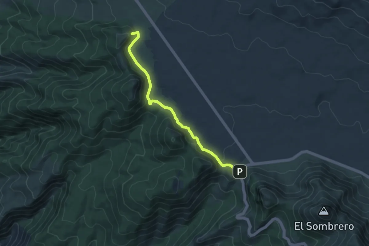
Easy · Summit
Chavao
7.1 km · ↑ 189 m · 2 h 5 min · 10 km away
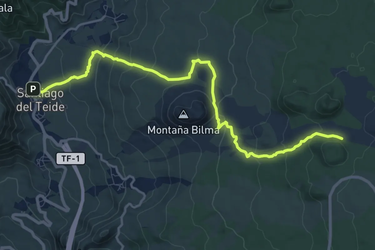
Medium · Trail
Santiago del Teide - Montaña Chinyero
14.6 km · ↑ 525 m · 4 h 35 min · 10 km away
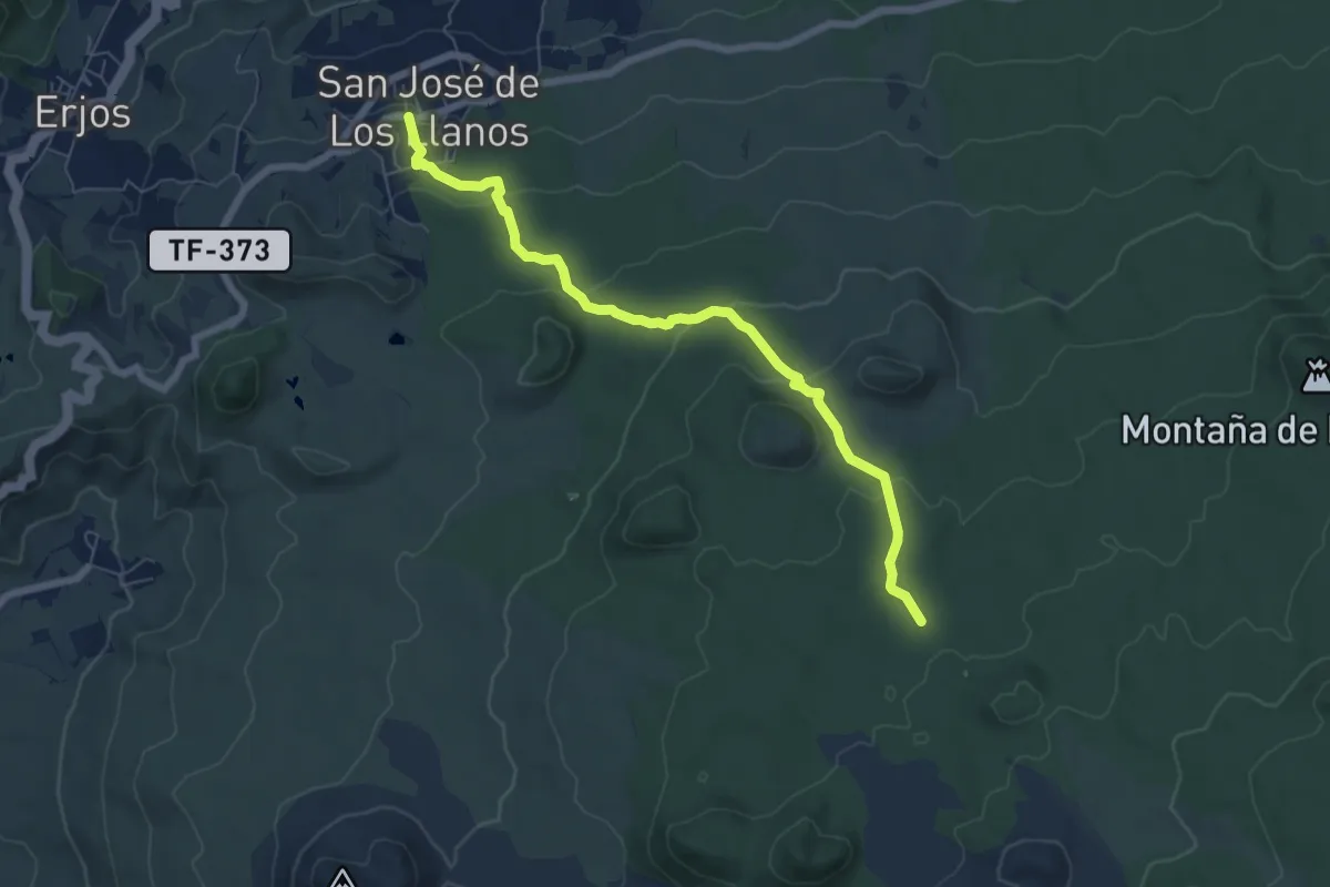
Medium · Trail
San José de Los Llanos - Montaña Chinyero
8.6 km · ↑ 281 m · 2 h 39 min · 11 km away
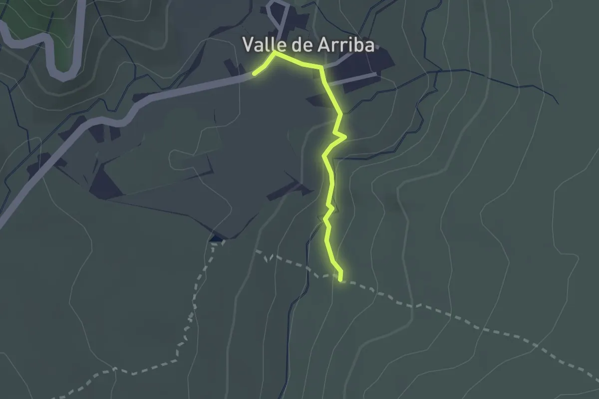
Easy · Trail
Valle de Arriba
2.0 km · ↑ 77 m · 38 min · 11 km away
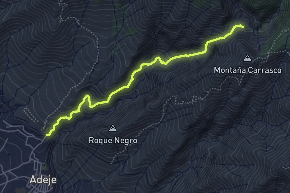
Medium · Trail
Barranco del Infierno
6.1 km · ↑ 706 m · 2 h 58 min · 11 km away
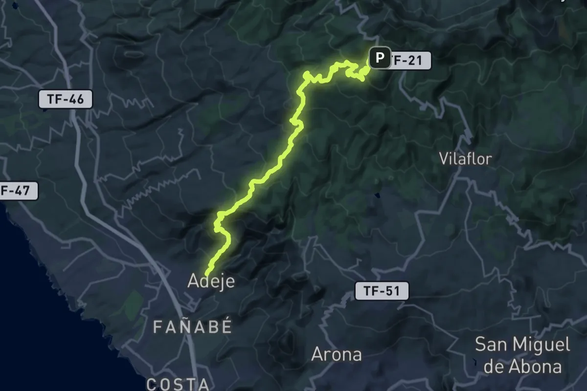
Medium · Trail
Camino de Teresme
17.7 km · ↑ 180 m · 5 h 42 min · 11 km away
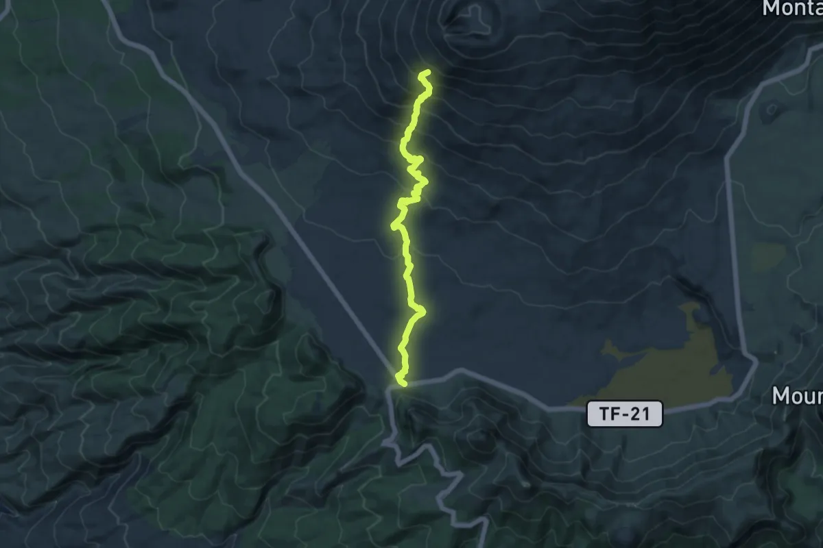
Medium · Trail
Chafari
13.0 km · ↑ 734 m · 4 h 39 min · 11 km away
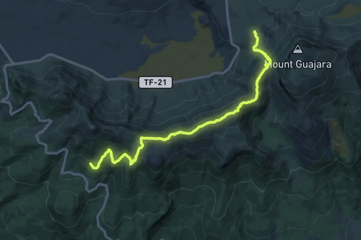
Demanding · Trail
Cumbres de Ucanca
15.5 km · ↑ 938 m · 5 h 42 min · 12 km away
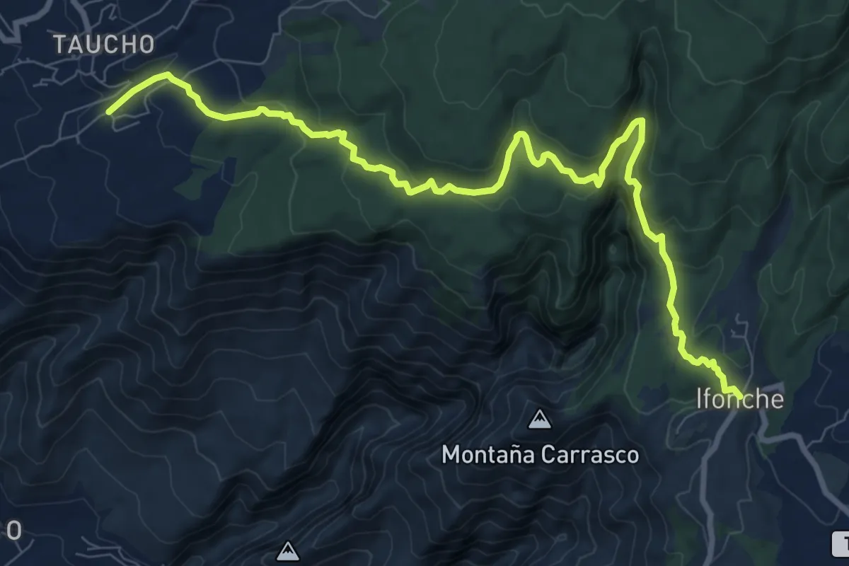
Medium · Trail
Camino de Ifonche
12.8 km · ↑ 569 m · 4 h 16 min · 12 km away
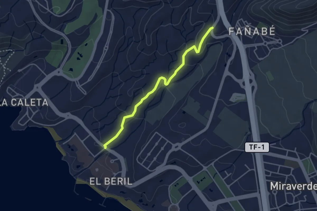
Easy · Trail
Camino de la Virgen
4.1 km · ↑ 105 m · 1 h 11 min · 12 km away
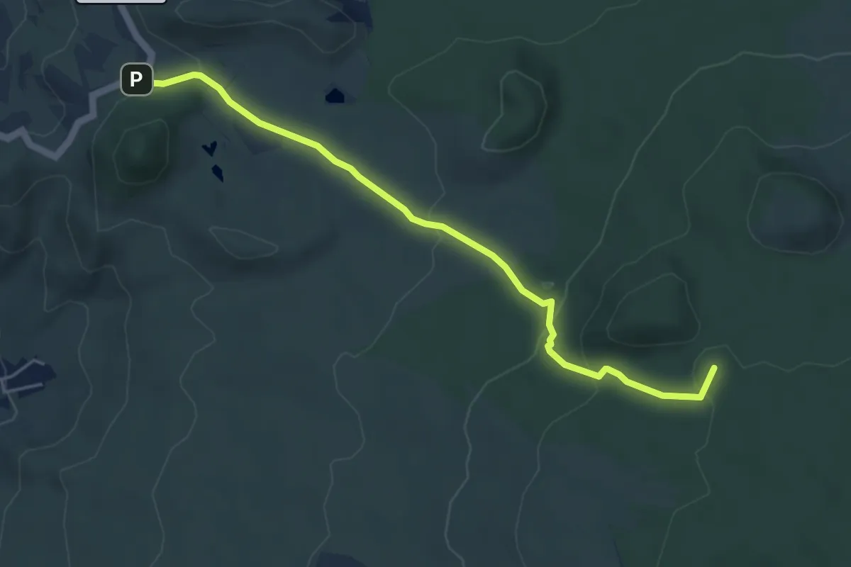
Easy · Summit
Los Partidos de Franquis - Chinyero
6.1 km · ↑ 217 m · 1 h 55 min · 12 km away
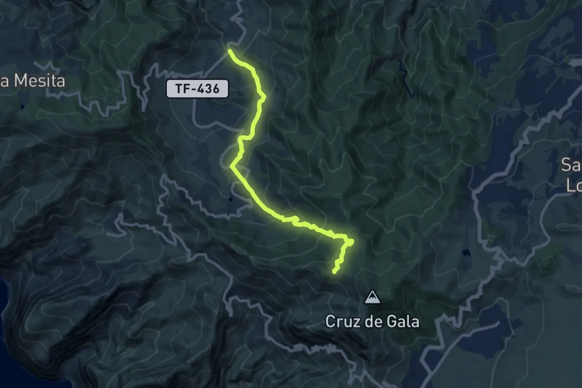
Medium · Trail
El Palmar – Cumbre de Bolico
11.0 km · ↑ 720 m · 4 h 9 min · 13 km away
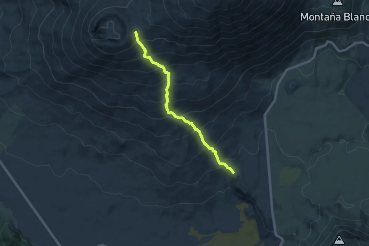
Demanding · Trail
Los Regatones Negros
9.9 km · ↑ 872 m · 4 h 14 min · 13 km away
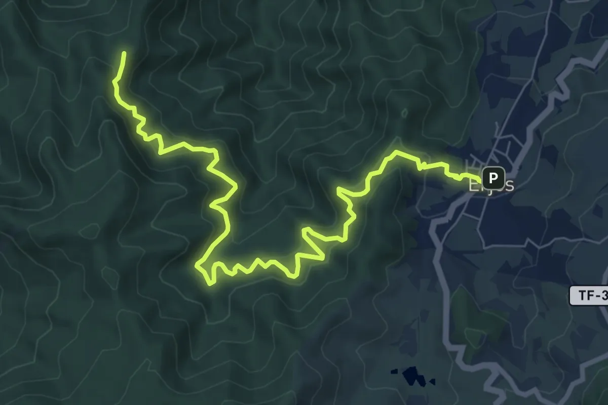
Demanding · Summit
Monte del Agua
11.1 km · ↑ 875 m · 4 h 31 min · 13 km away
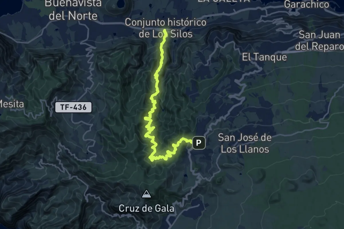
Medium · Trail
Las Moradas
10.8 km · ↑ 505 m · 4 h 14 min · 13 km away
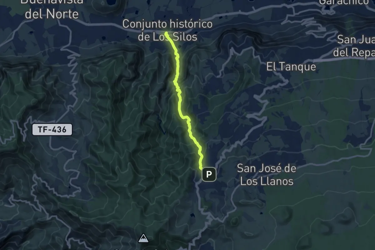
Demanding · Trail
Cuevas Negras
10.6 km · ↑ 887 m · 4 h 25 min · 13 km away
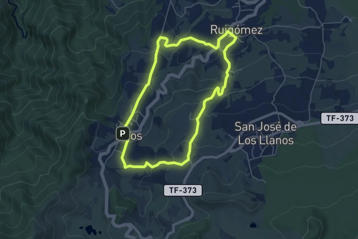
Easy · Trail
Ruigómez - Erjos - Ruigómez
5.8 km · ↑ 272 m · 2 h 3 min · 13 km away
Medium · Trail
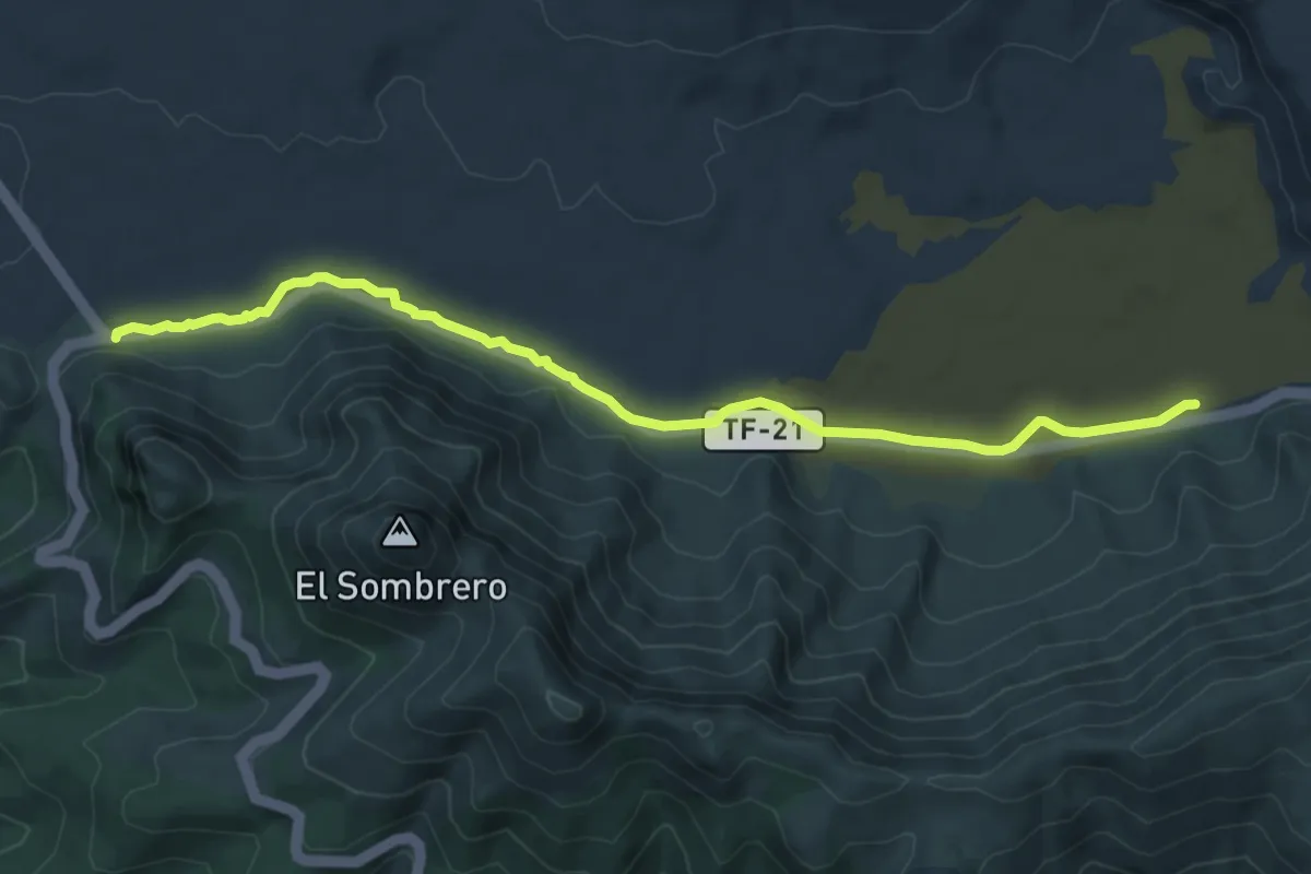
Llano de Ucanca-Boca Tauce
9.4 km · ↑ 68 m · 2 h 22 min · 14 km away
Easy · Summit
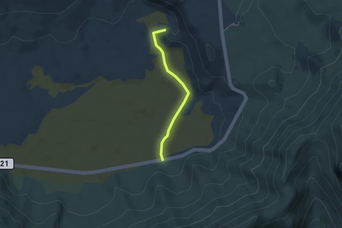
Ucanca
3.3 km · ↑ 22 m · 50 min · 14 km away
Easy · Summit
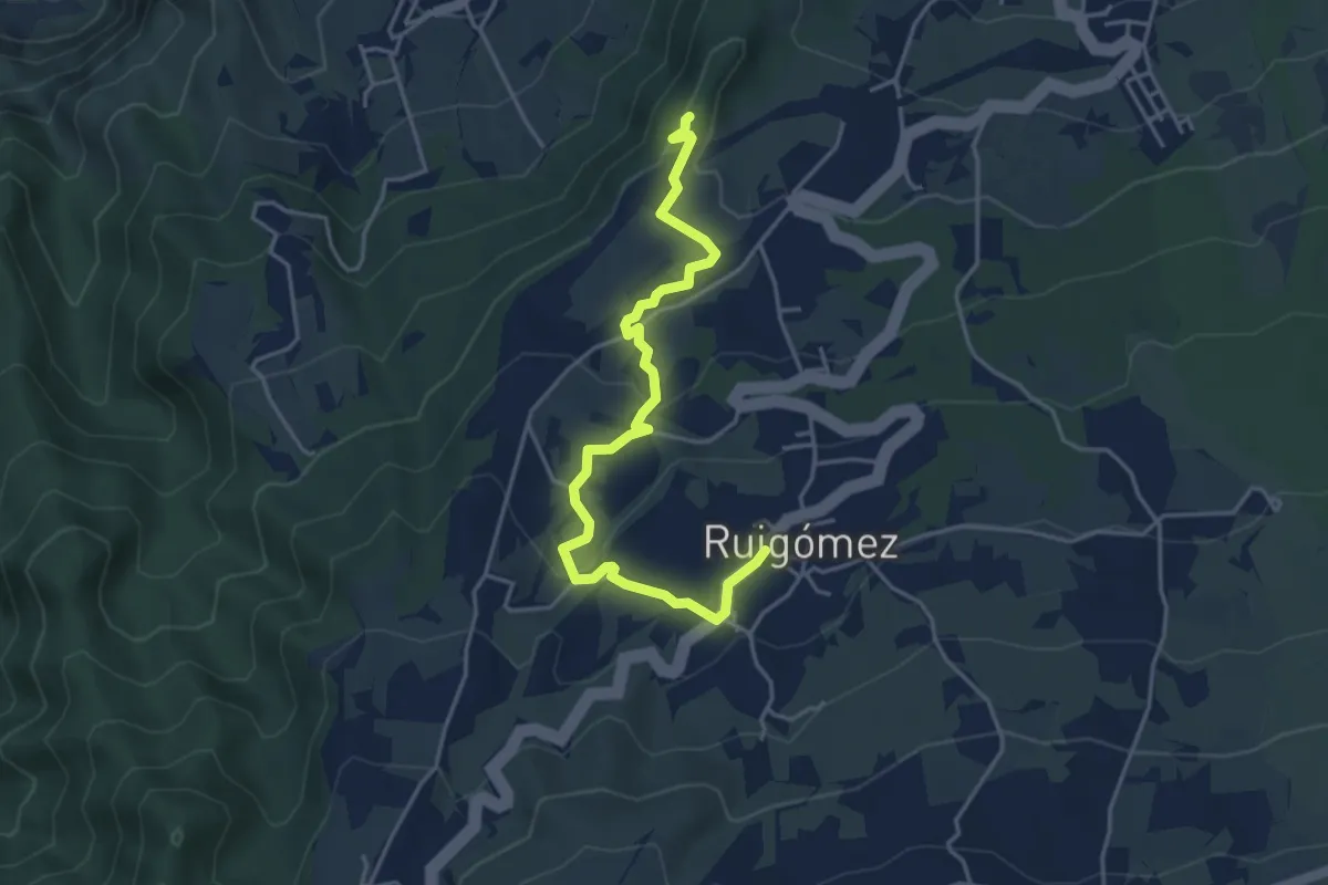
El Tanque Alto- Ruigómez-San José de Los Llanos
5.8 km · ↑ 158 m · 1 h 42 min · 14 km away
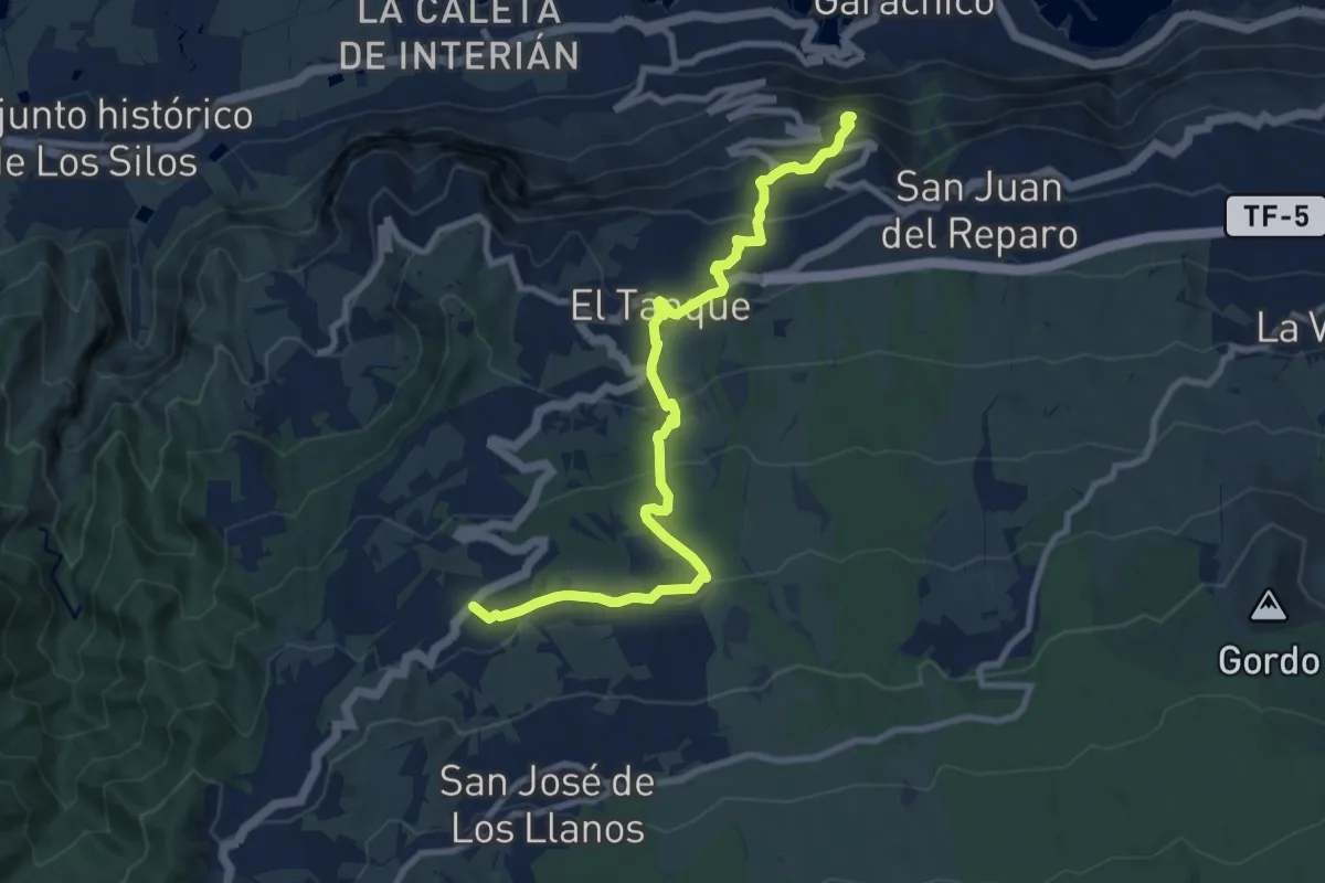
Easy · Trail
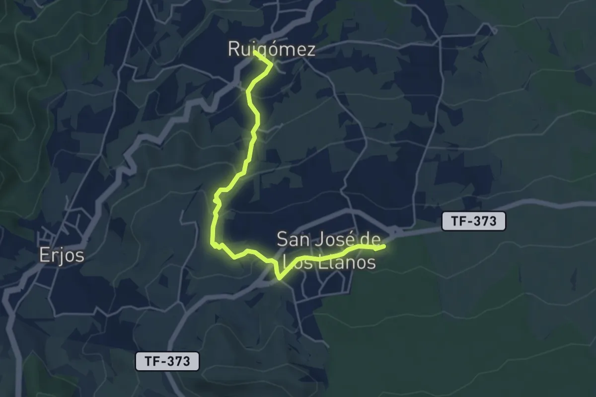
Ruigómez - San José de Los Llanos
2.9 km · ↑ 239 m · 1 h 8 min · 14 km away
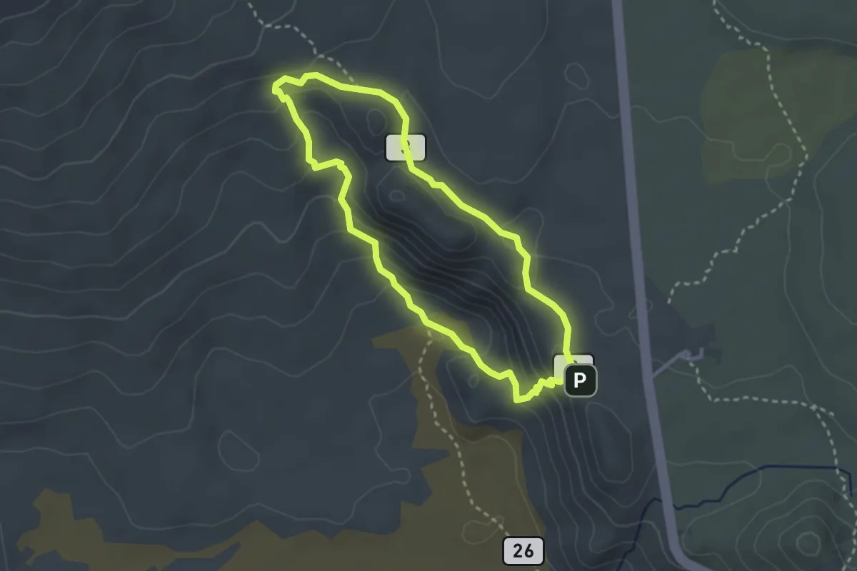
Easy · Trail
Ruigómez - El Tanque - EL Tanque Bajo - La Atalaya
6.2 km · ↑ 38 m · 1 h 55 min · 14 km away
Medium · Summit
Roques de García
3.4 km · ↑ 164 m · 1 h 12 min · 15 km away
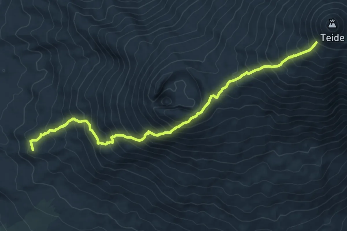
Expert · Summit
Sendero Teide-Pico Viejo–Mirador de las Narices del Teide
12.6 km · ↑ 1245 m · 5 h 41 min · 15 km away
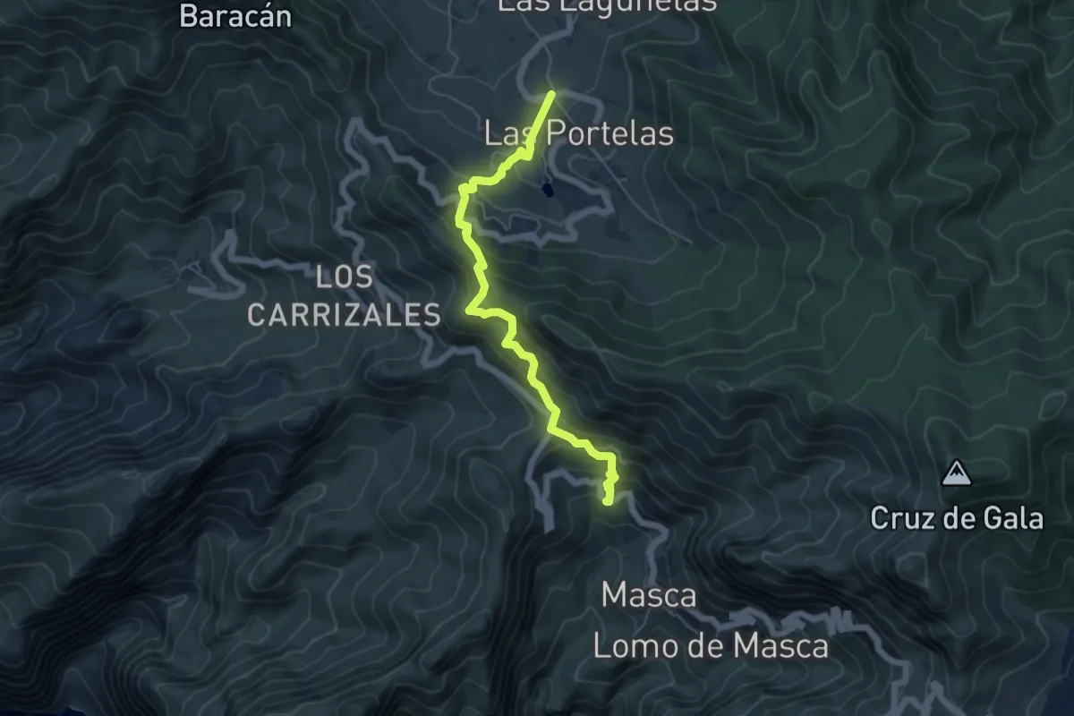
Medium · Trail
Las Portelas – Masca
6.7 km · ↑ 579 m · 2 h 50 min · 15 km away
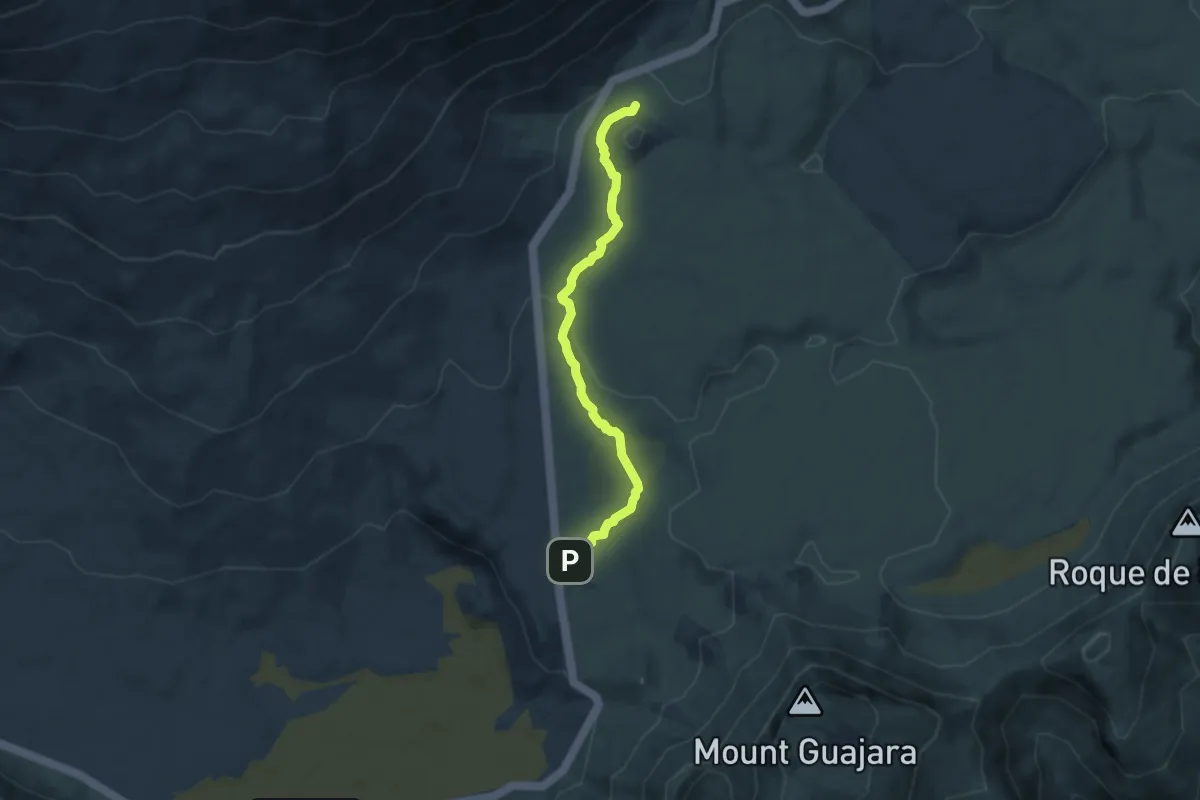
Easy · Trail
Majúa
7.7 km · ↑ 157 m · 2 h 9 min · 15 km away
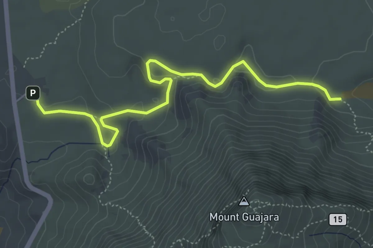
Medium · Trail
Degollada de Guajara - Parador de las Cañadas del Teide
7.1 km · ↑ 208 m · 2 h 8 min · 15 km away
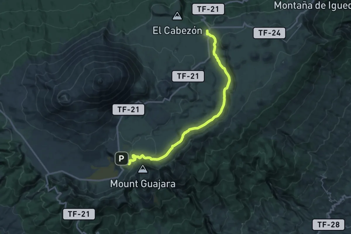
Medium · Trail
Siete Cañadas
16.3 km · ↑ 242 m · 4 h 39 min · 15 km away
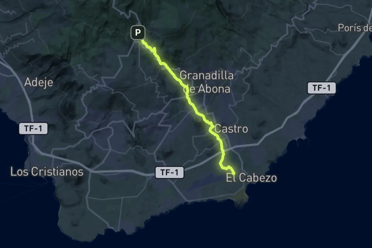
Demanding · Pilgrim path
Camino del Hermano Pedro
18.2 km · ↑ 39 m · 5 h 20 min · 15 km away