Trails near la Garriga
32 hikes starting within 15 km, nearest first.
Nearest first
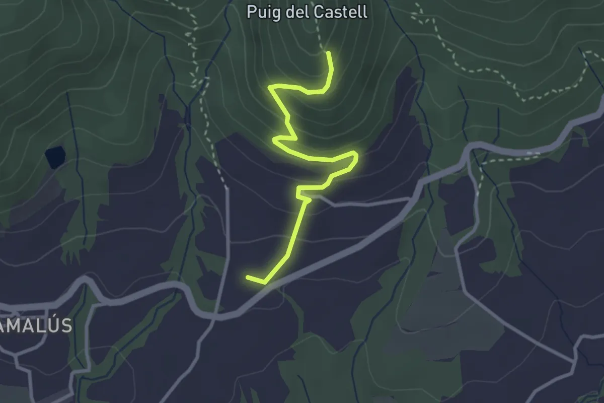
Easy · Trail
Poblat Ibèric del Puig del Castell de Samalús
3.0 km · ↑ 224 m · 1 h 11 min · 3 km away
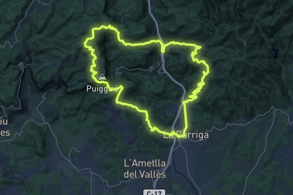
Demanding · Summit
Sender de la Garriga
28.2 km · ↑ 1346 m · 9 h 58 min · 4 km away
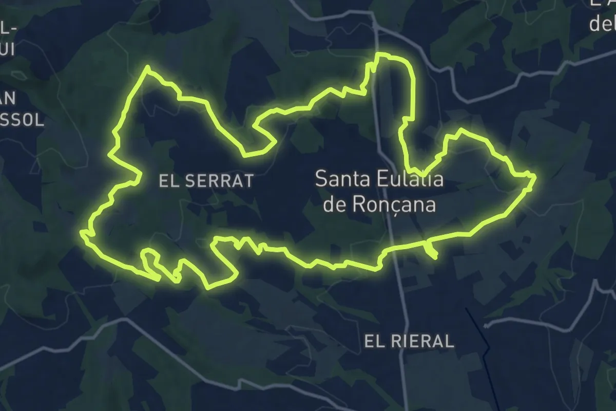
Demanding · Trail
Sender de Santa Eulàlia de Ronçana
18.2 km · ↑ 387 m · 5 h 23 min · 6 km away
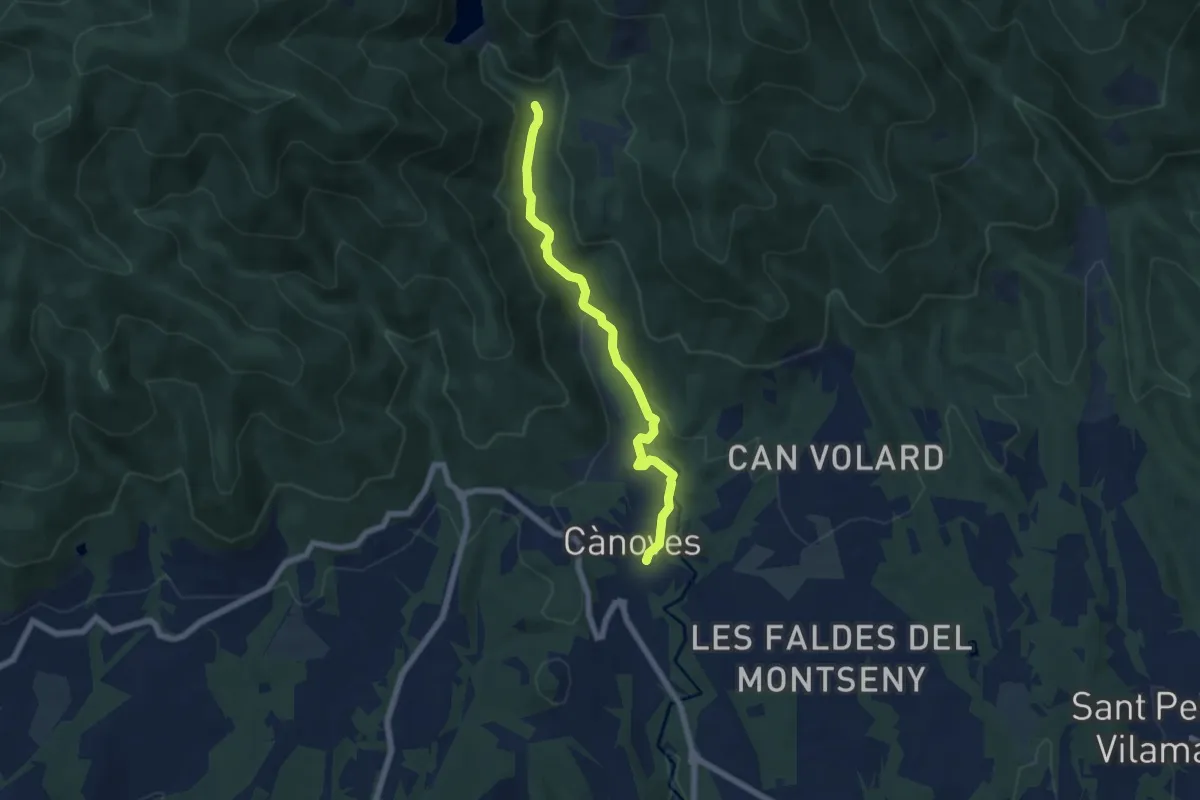
Easy · Trail
Riera de Vallfornes
6.5 km · ↑ 141 m · 1 h 51 min · 6 km away
Medium · Summit
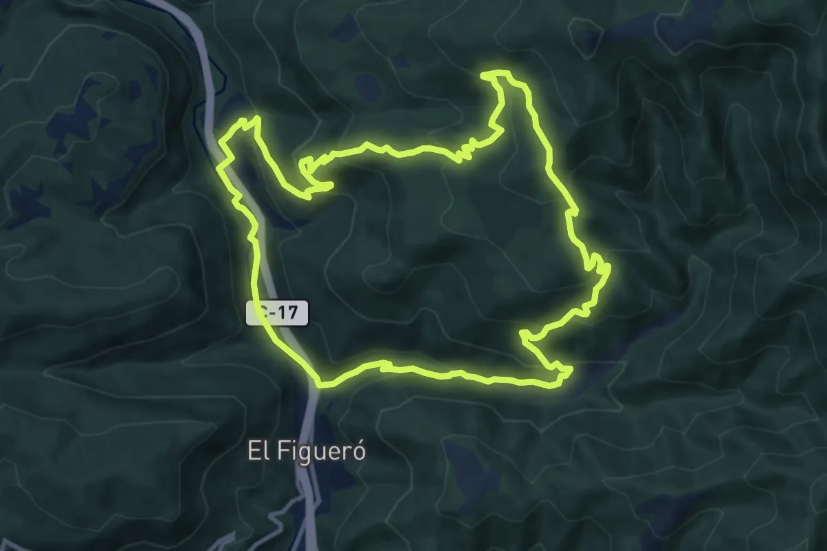
Figaró-Tagamanent
11.7 km · ↑ 590 m · 4 h 12 min · 6 km away
Medium · Trail
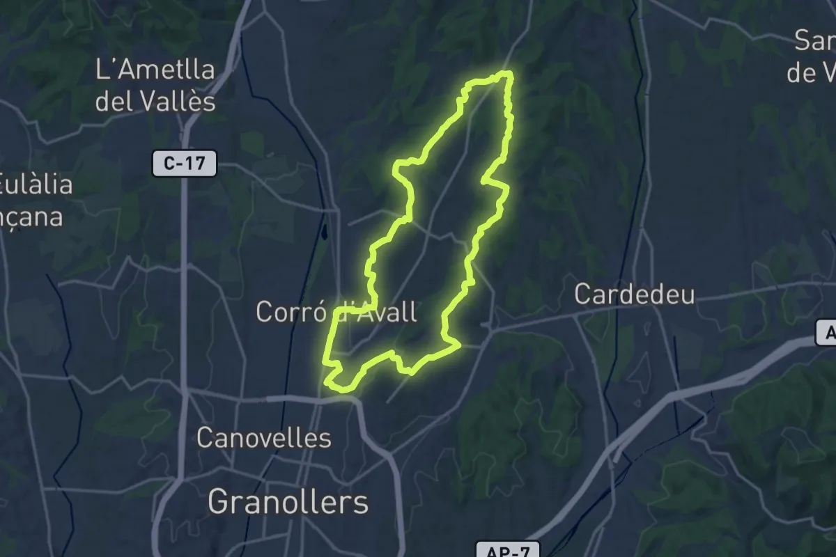
Les Franqueses del Vallès
16.6 km · ↑ 222 m · 4 h 38 min · 7 km away
Easy · Trail
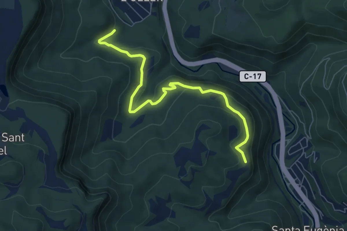
Camí de Sant Jaume
7.1 km · ↑ 238 m · 2 h 11 min · 8 km away
Demanding · Summit
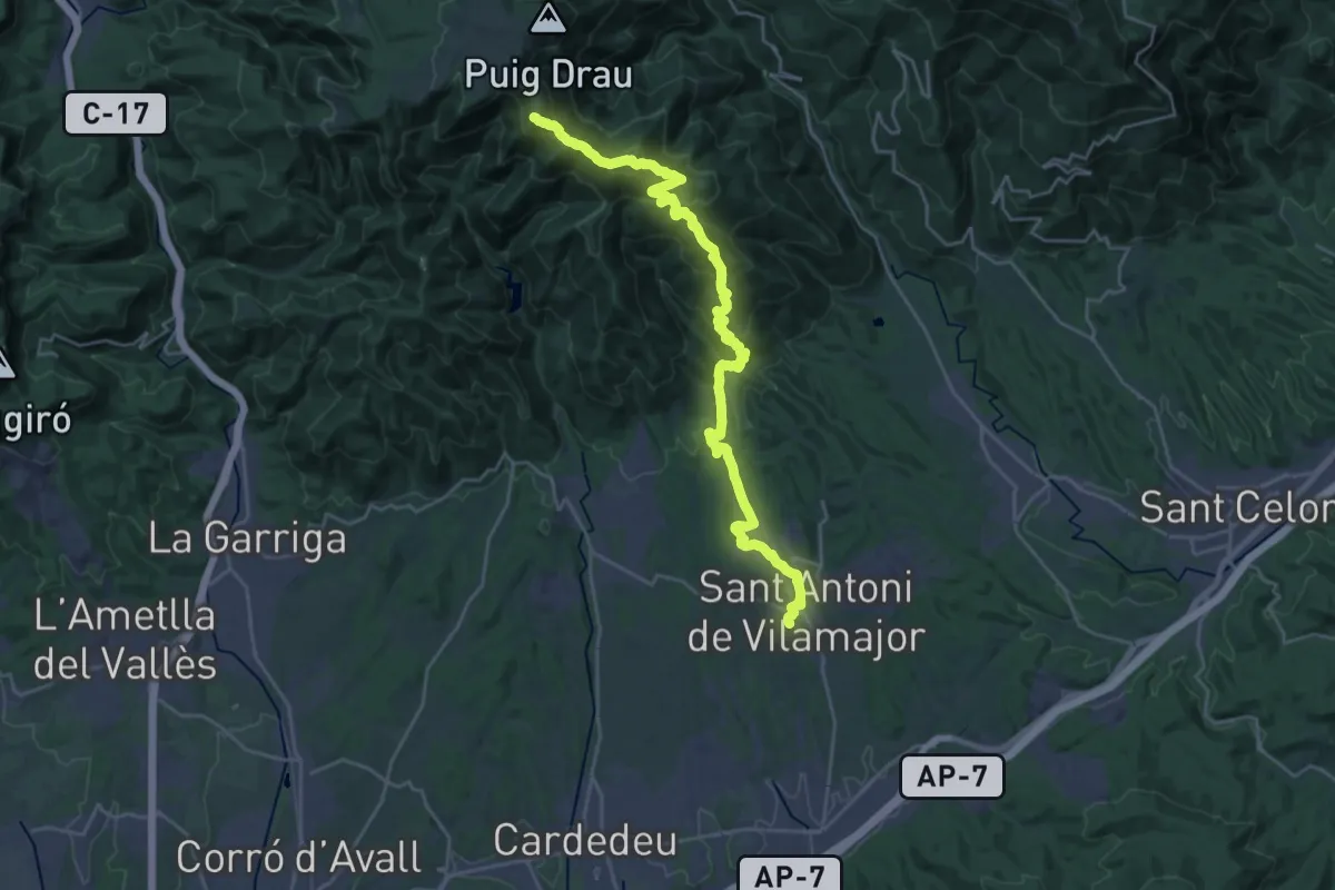
Sender del Pi Novell
30.5 km · ↑ 1442 m · 10 h 20 min · 9 km away
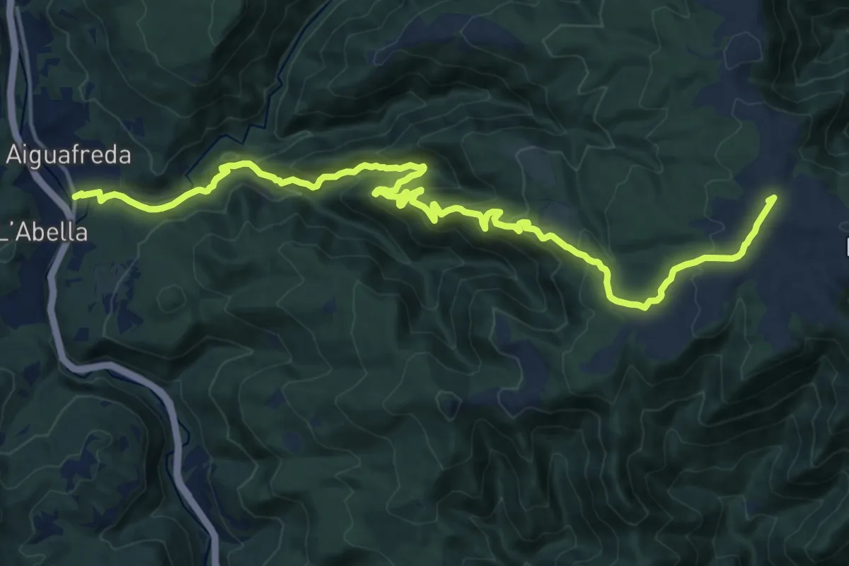
Demanding · Summit
Old Matagalls-Montserrat
21.9 km · ↑ 1032 m · 7 h 24 min · 9 km away
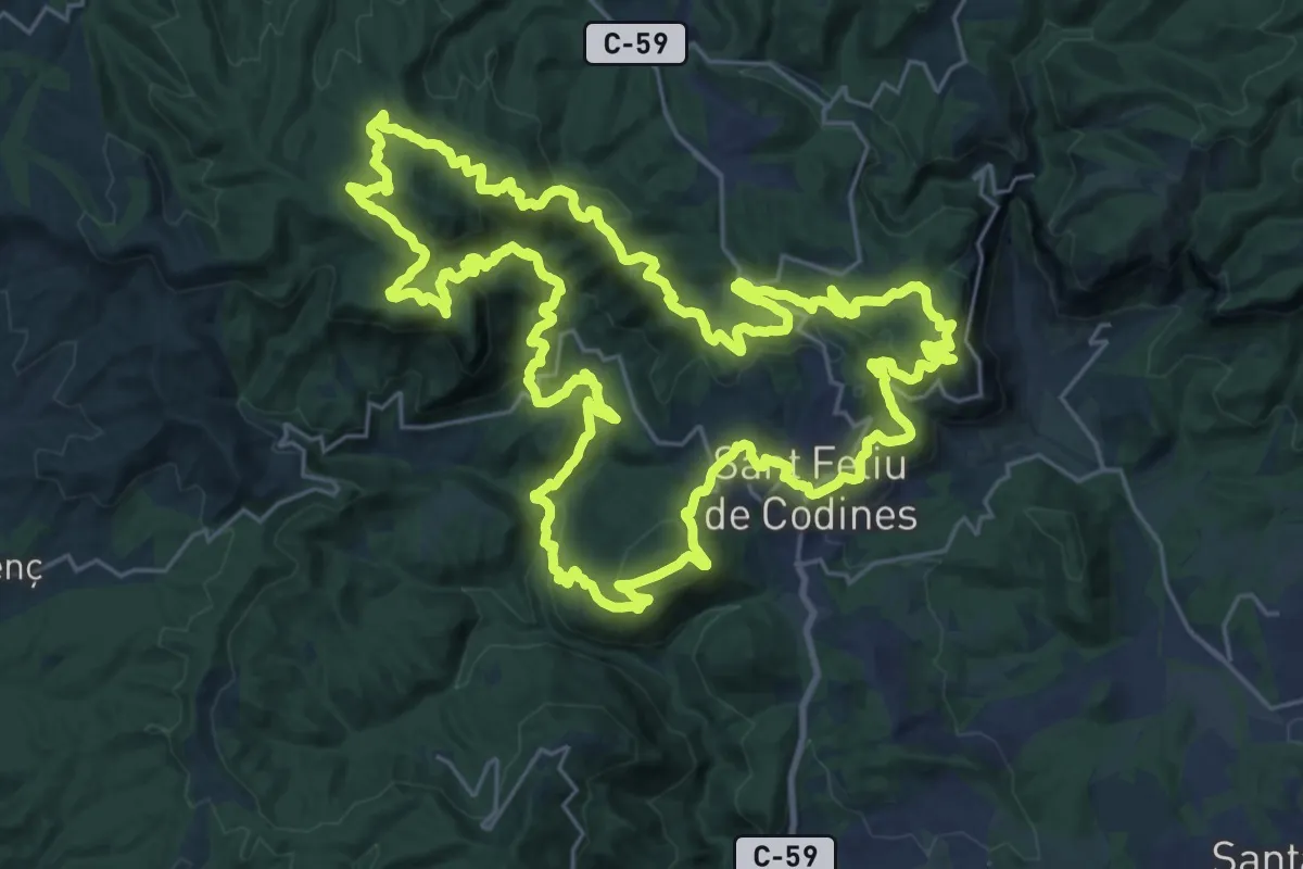
Demanding · Summit
Ronda Codinenca
32.7 km · ↑ 1383 m · 11 h 10 min · 9 km away
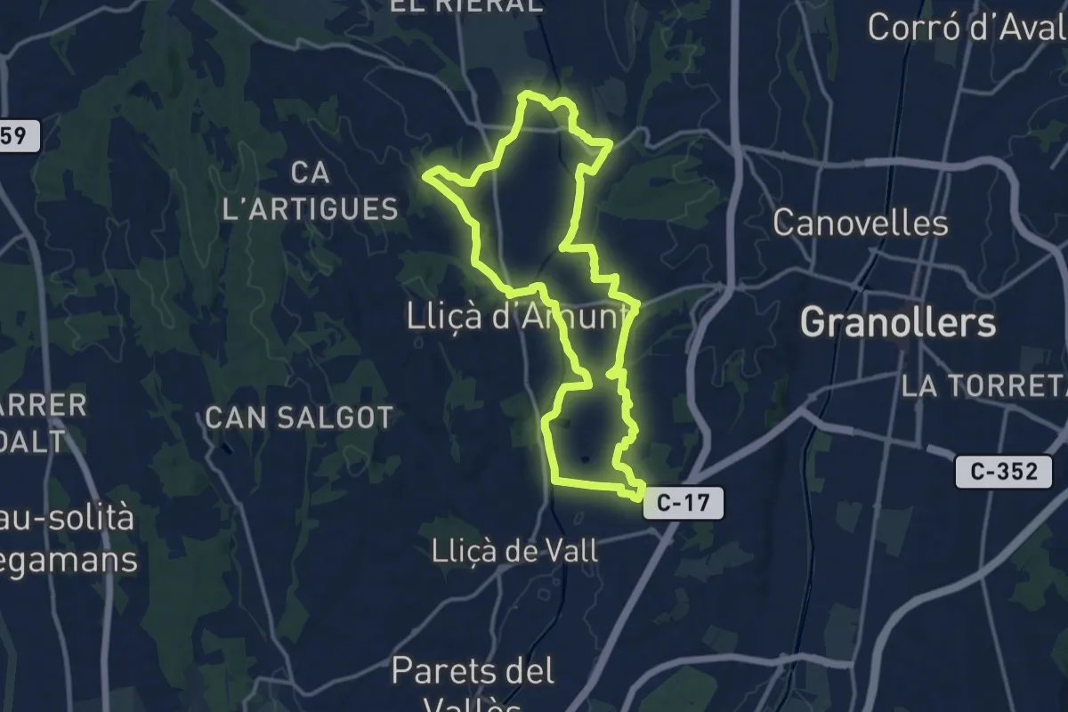
Medium · Trail
Lliçà d'Amunt
14.1 km · ↑ 171 m · 3 h 53 min · 11 km away
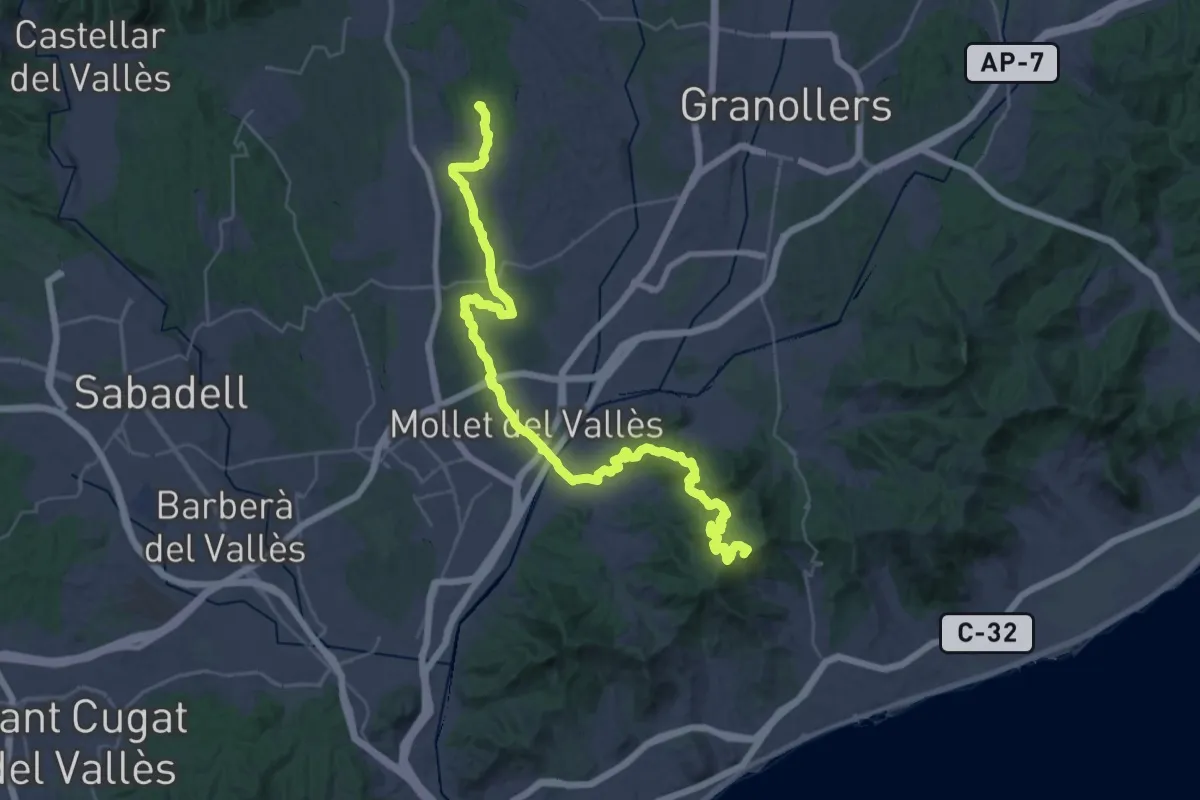
Demanding · Summit
De la Tordera al Llobregat. Variant Palaudaries - Alella
45.5 km · ↑ 1125 m · 13 h 11 min · 11 km away
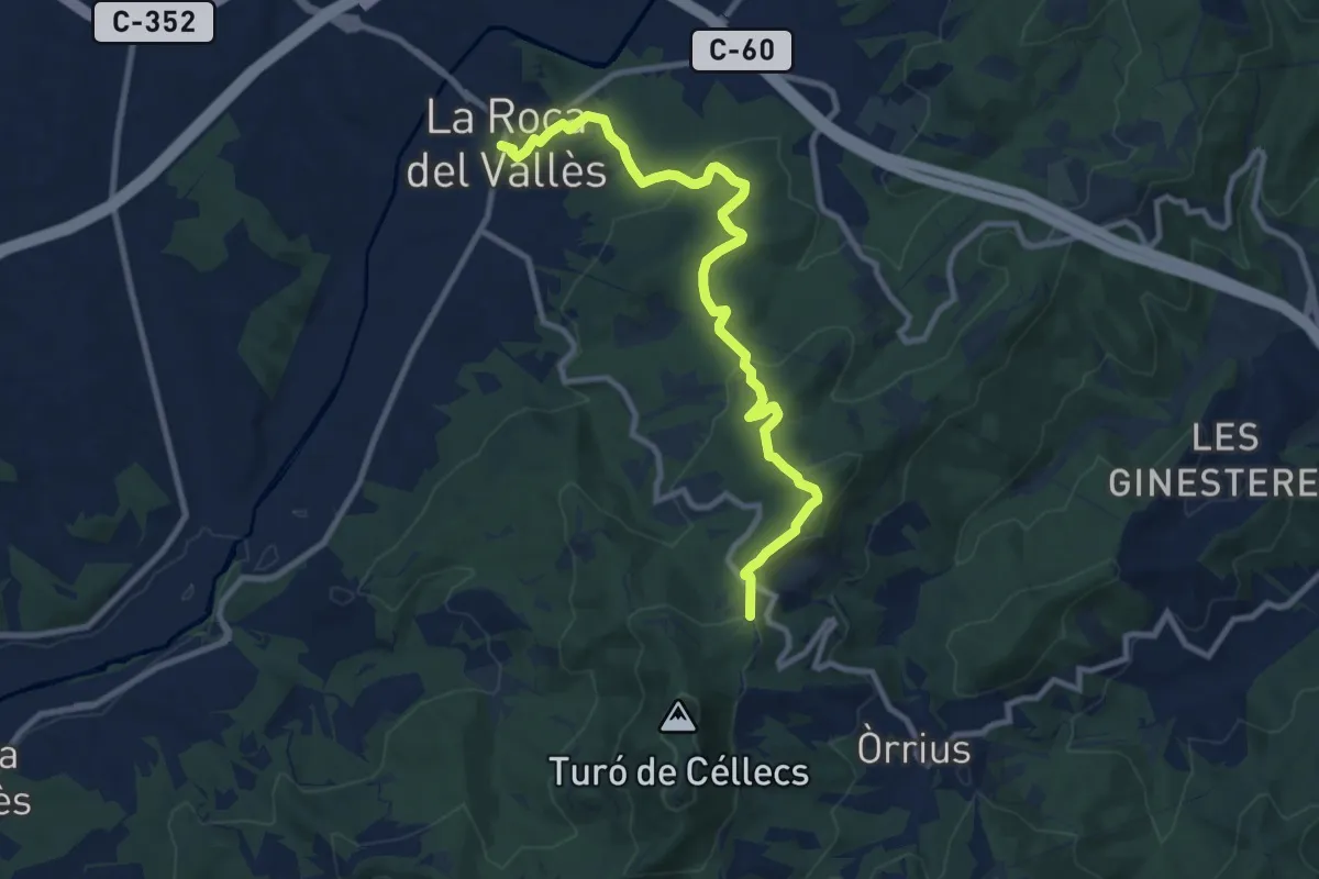
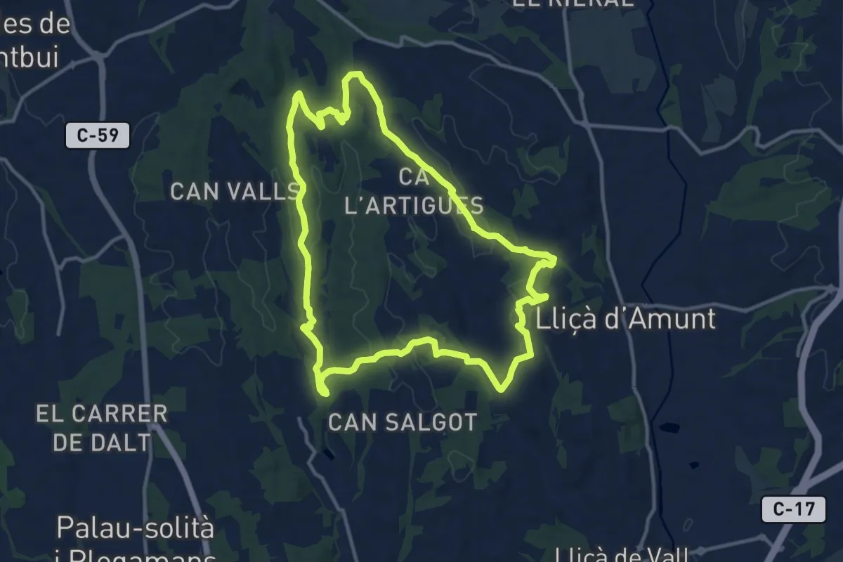
Medium · Trail
Cèllecs-Sant Bartmeu de Cabanyes
11.2 km · ↑ 368 m · 3 h 26 min · 11 km away
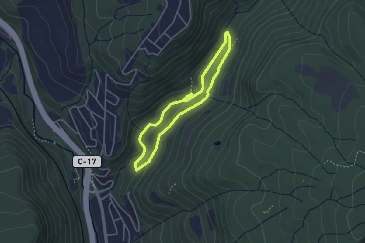
Medium · Trail
Sender de Palaudàries
12.7 km · ↑ 246 m · 3 h 43 min · 11 km away
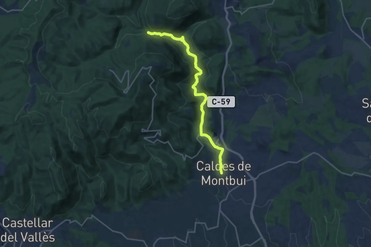
Medium · Trail
Itinerari de la riera de Martinet
2.8 km · ↑ 80 m · 53 min · 12 km away
Medium · Trail
Sender de Caldes de Montbui
13.9 km · ↑ 294 m · 3 h 55 min · 12 km away
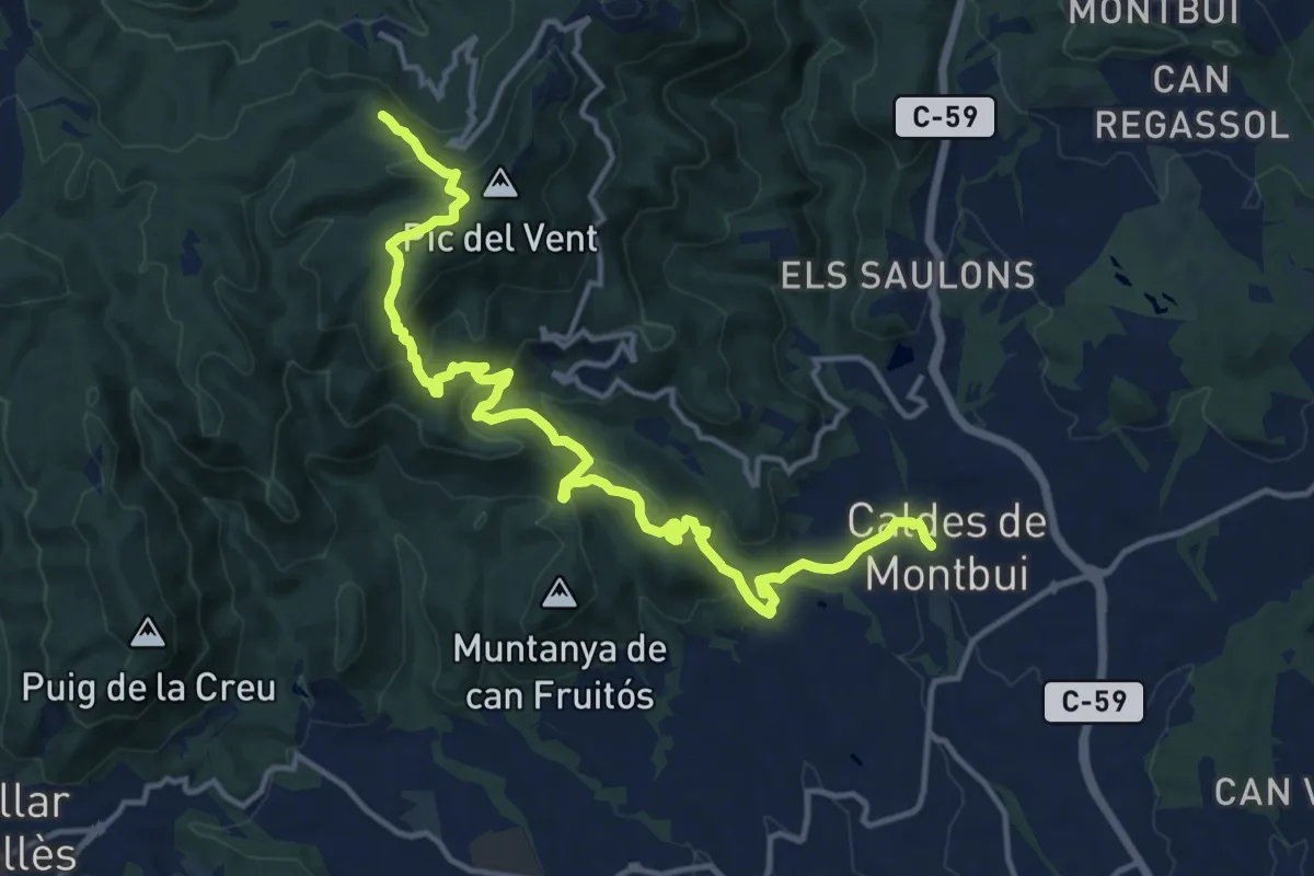
Medium · Summit
Sender de Caldes de Montbui
17.6 km · ↑ 743 m · 5 h 46 min · 12 km away
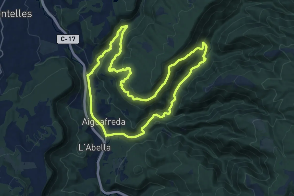
Medium · Trail
Aiguafreda de Dalt
15.6 km · ↑ 494 m · 4 h 59 min · 12 km away
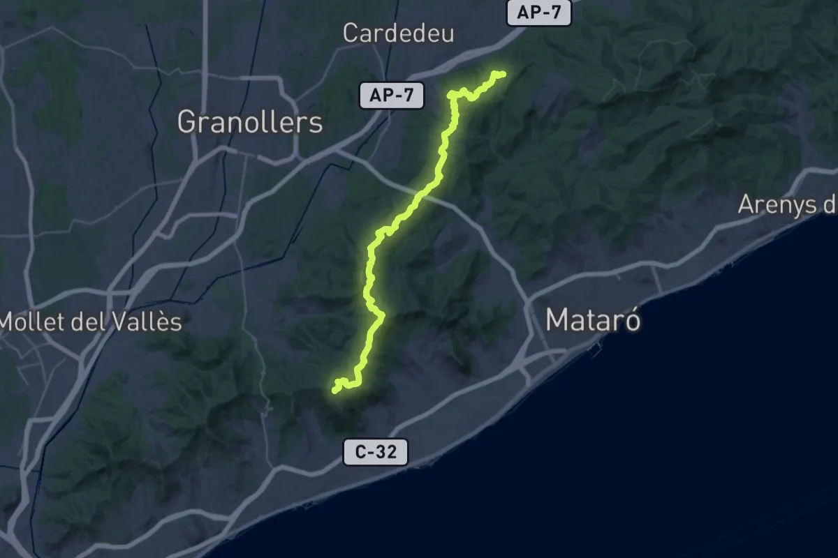
Demanding · Summit
Catalunya E16
38.5 km · ↑ 1043 m · 11 h 21 min · 12 km away
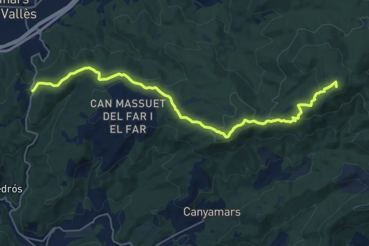
Medium · Summit
Catalunya E15
16.7 km · ↑ 440 m · 4 h 53 min · 12 km away
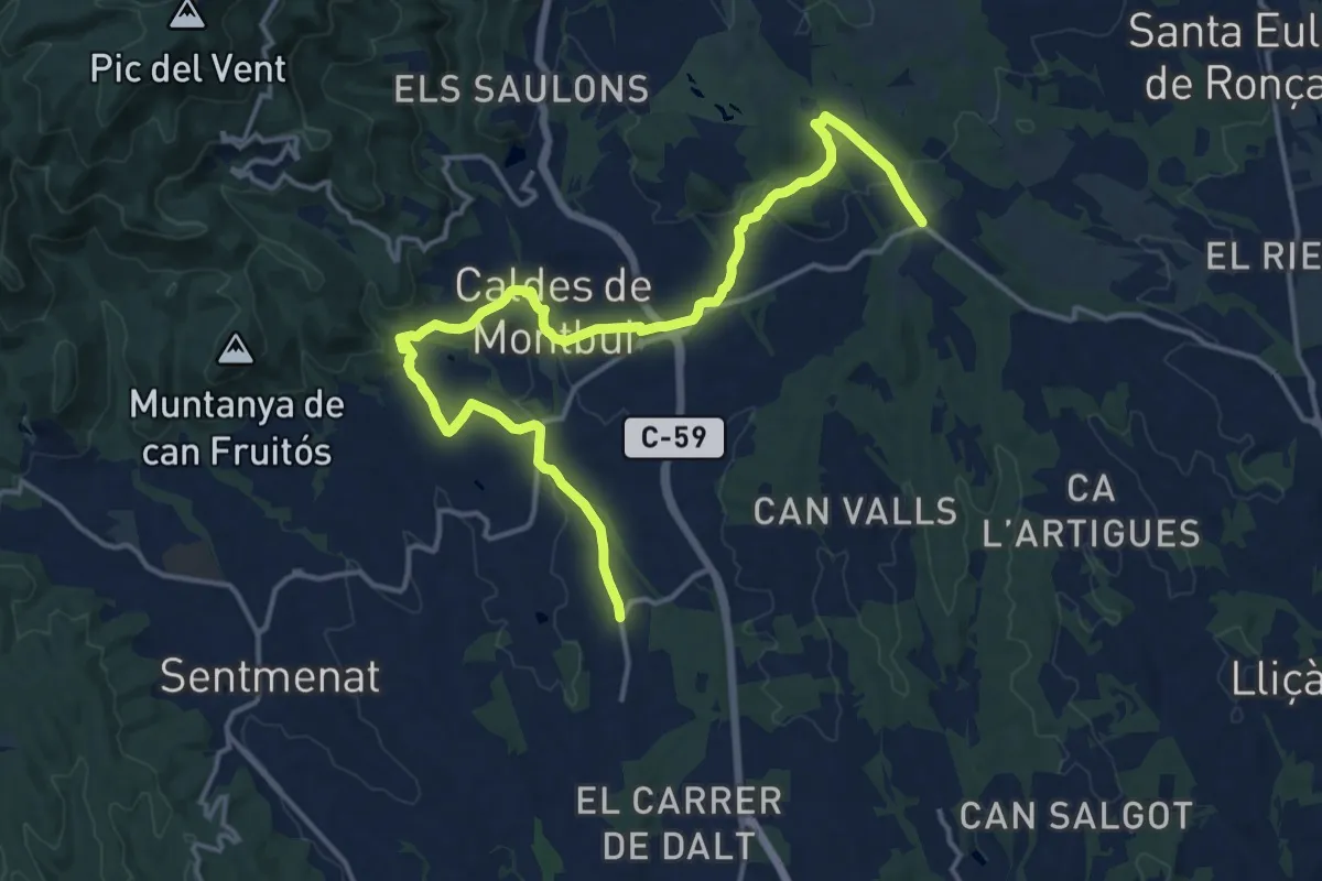
Demanding · Trail
De la Tordera al Llobregat. Variant Torre Marimon
19.6 km · ↑ 405 m · 5 h 31 min · 13 km away
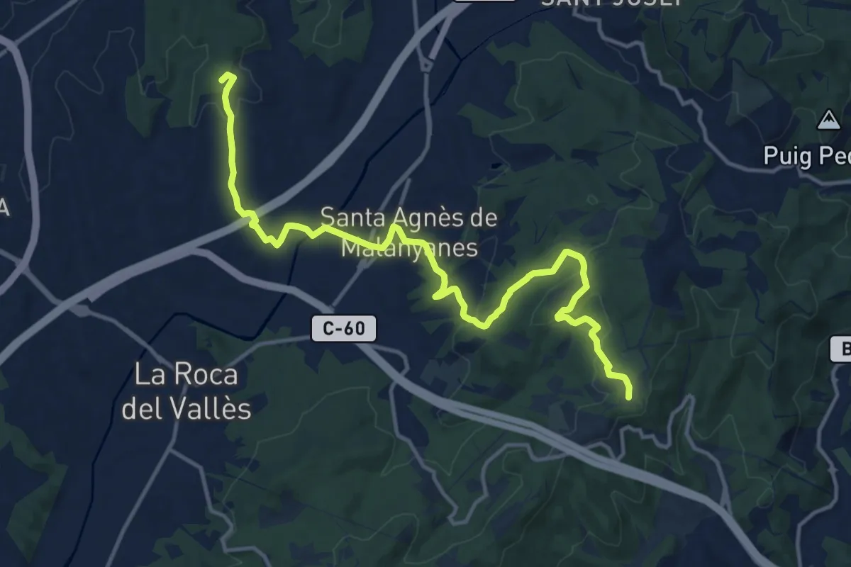
Medium · Summit
De la Tordera al Llobregat. Variant Marata - Pla de l'Espinal
15.7 km · ↑ 405 m · 4 h 35 min · 13 km away
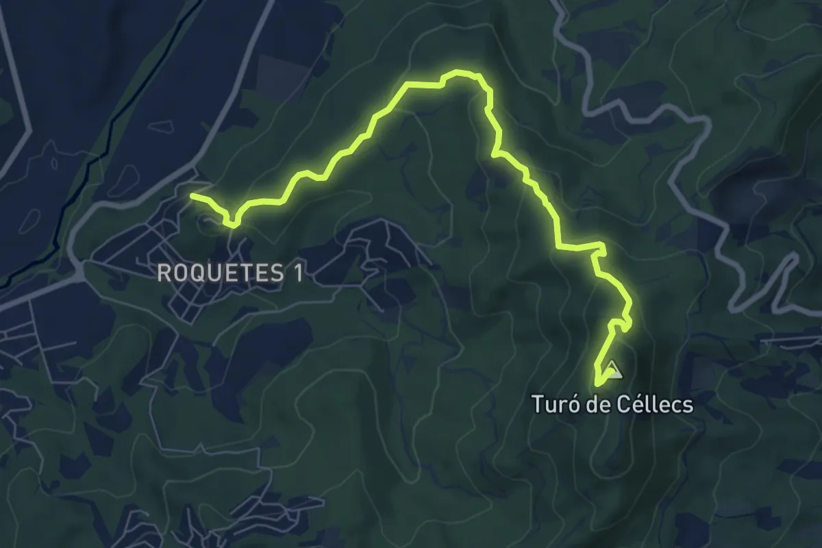
Medium · Summit
Ruta Prehistòrica I : Can Gol-Céllecs
8.6 km · ↑ 365 m · 2 h 49 min · 14 km away
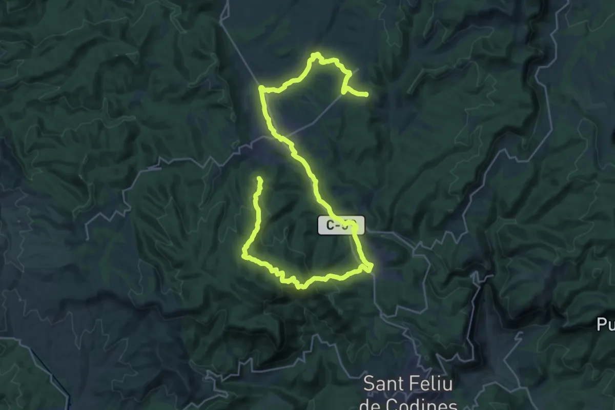
Demanding · Summit
GR 177 Ronda del Moianès - Etapa 4
35.9 km · ↑ 953 m · 10 h 33 min · 14 km away
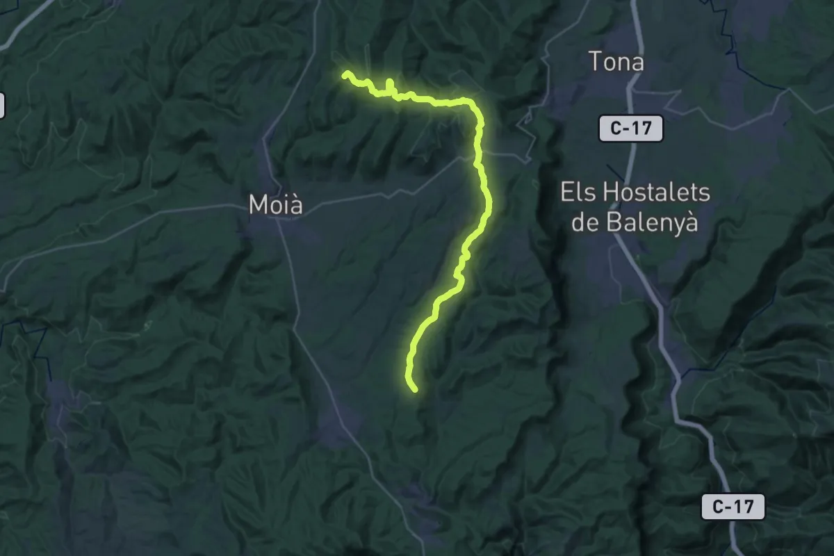
Demanding · Summit
GR 177 Ronda del Moianès - Etapa 5
32.5 km · ↑ 661 m · 9 h 6 min · 14 km away
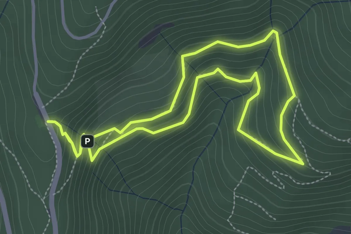
Easy · Trail
El Sot de l'Infern
3.2 km · ↑ 201 m · 1 h 14 min · 14 km away
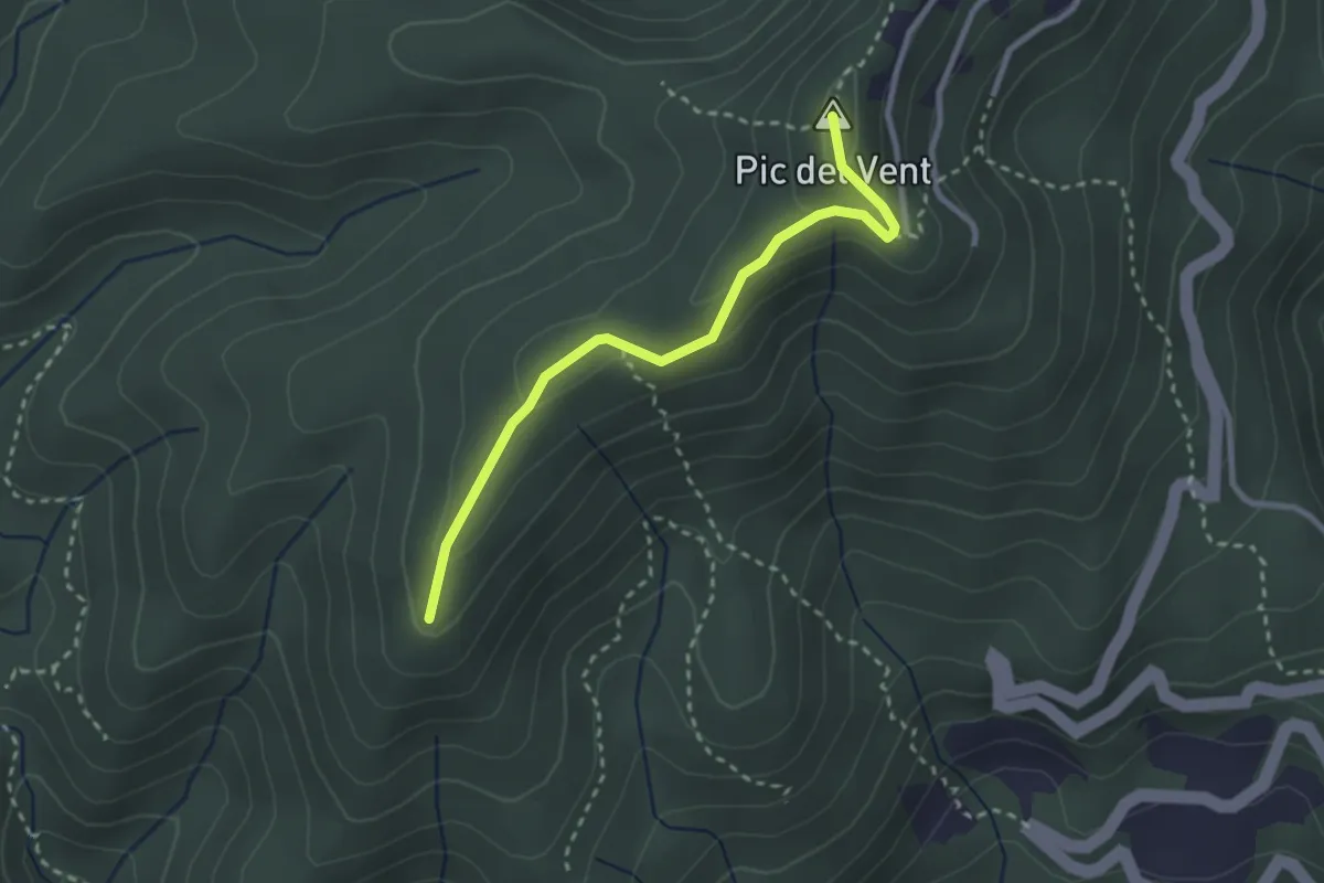
Medium · Summit
Caldes de Montbui
2.9 km · ↑ 126 m · 57 min · 14 km away
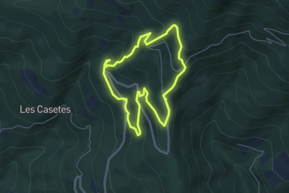
Medium · Trail
Itinerari Forestal de Fontmartina
4.4 km · ↑ 293 m · 1 h 45 min · 14 km away
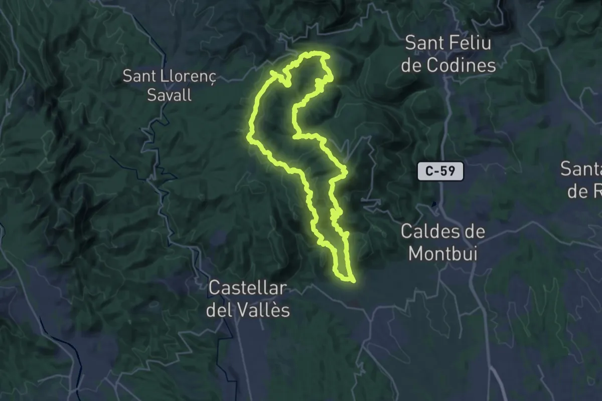
Demanding · Summit
Circular de Sentmenat
25.5 km · ↑ 1053 m · 8 h 39 min · 15 km away
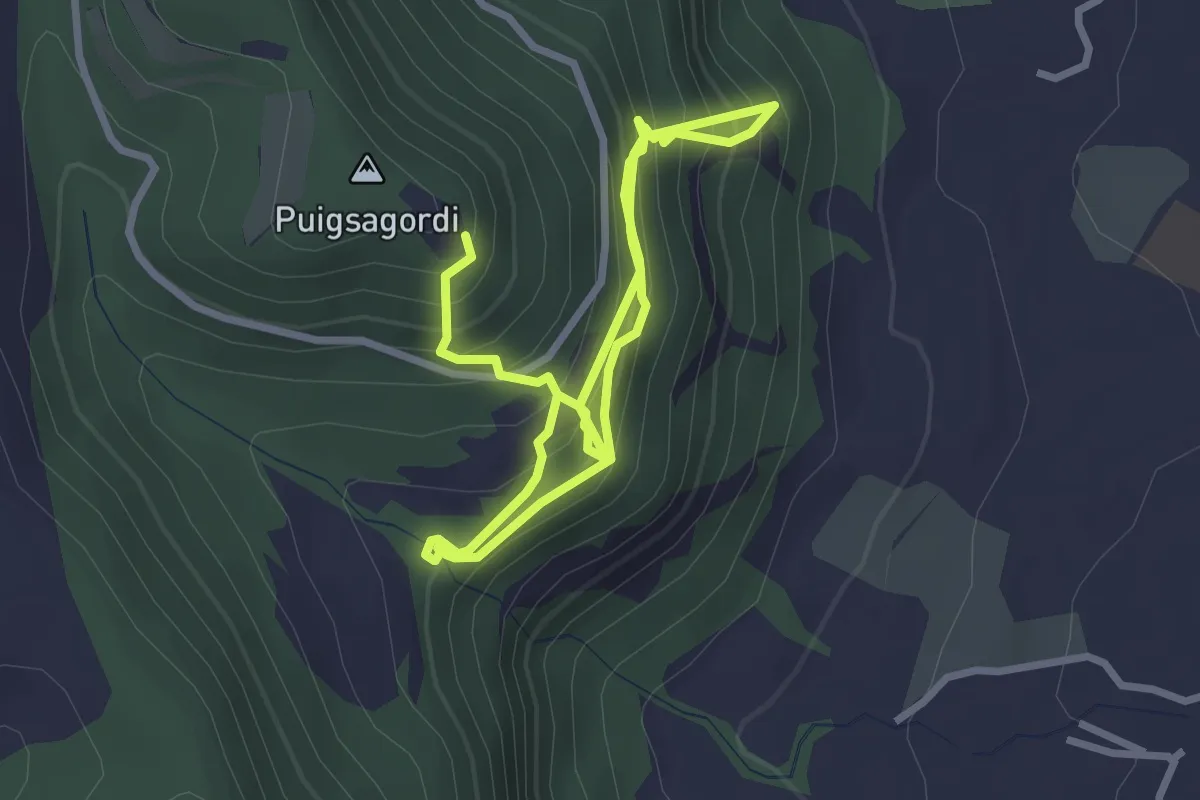
Medium · Trail
Via ferrada de les Baumes Corcades
5.1 km · ↑ 511 m · 2 h 18 min · 15 km away
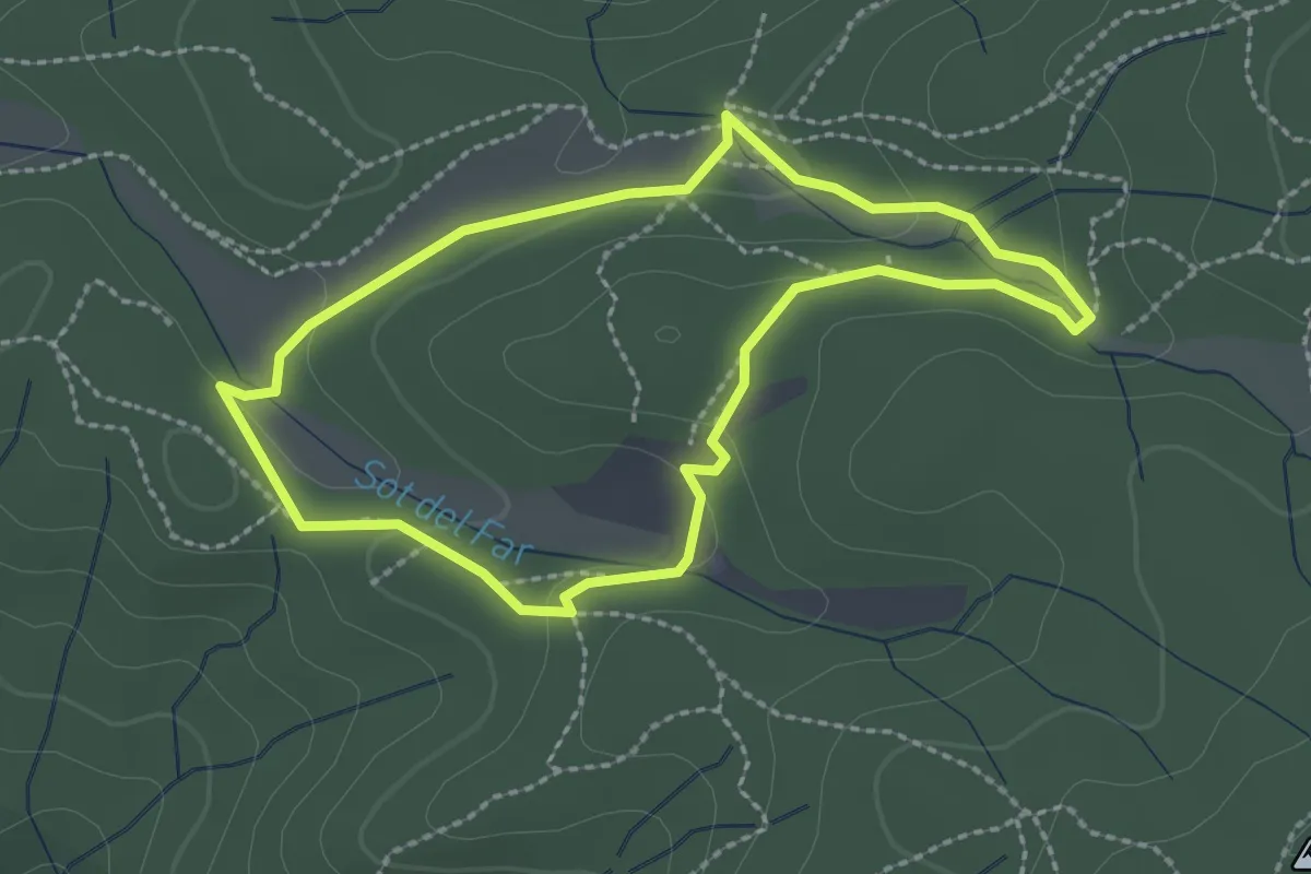
Easy · Summit
Dosrius 7 ( Circuit inclusiu esportiu "suma Capacitats" )
2.4 km · ↑ 48 m · 42 min · 15 km away
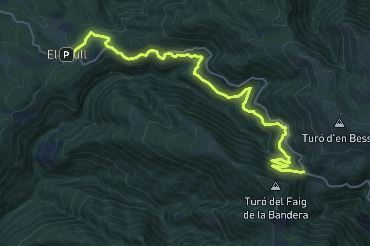
Medium · Trail
De Brull a Collformic
13.8 km · ↑ 722 m · 4 h 49 min · 15 km away