Trails near la Nucia
18 hikes starting within 15 km, nearest first.
Nearest first
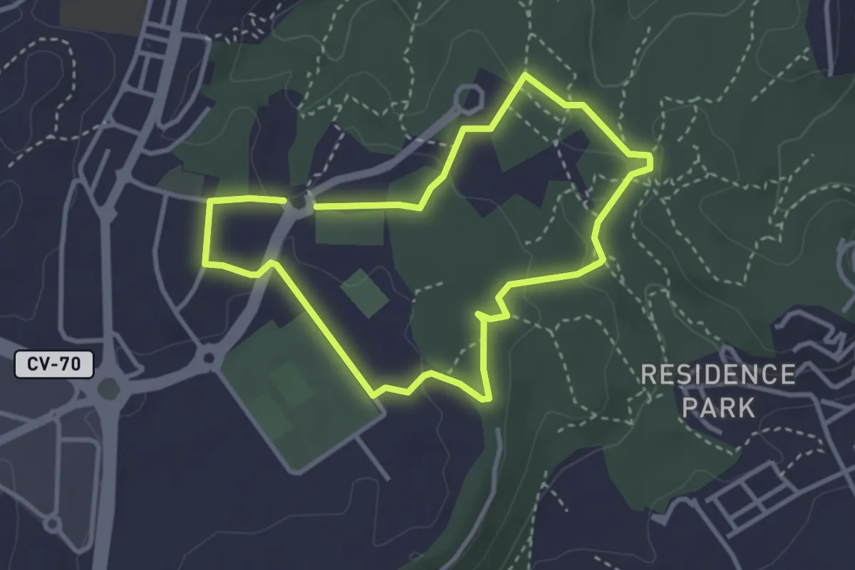
Easy · Trail
Red de senderos - Ruta 2
3.2 km · ↑ 54 m · 55 min · 1 km away
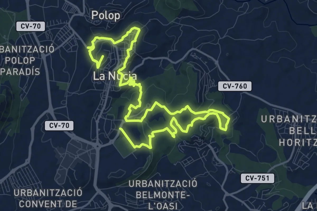
Demanding · Trail
Red de senderos - Senda Local
21.5 km · ↑ 605 m · 6 h 23 min · 1 km away
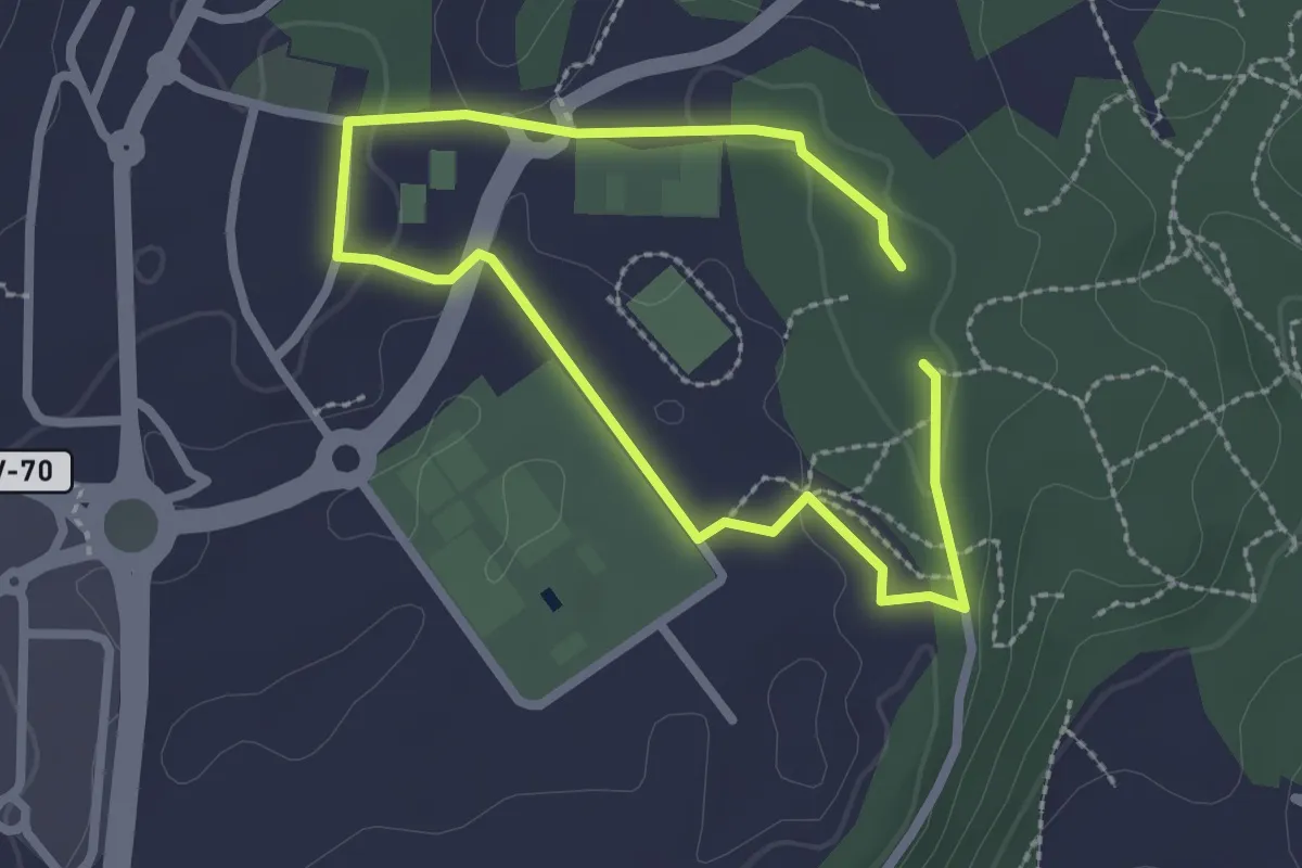
Easy · Trail
Red de senderos - Ruta 1
2.1 km · ↑ 29 m · 35 min · 1 km away
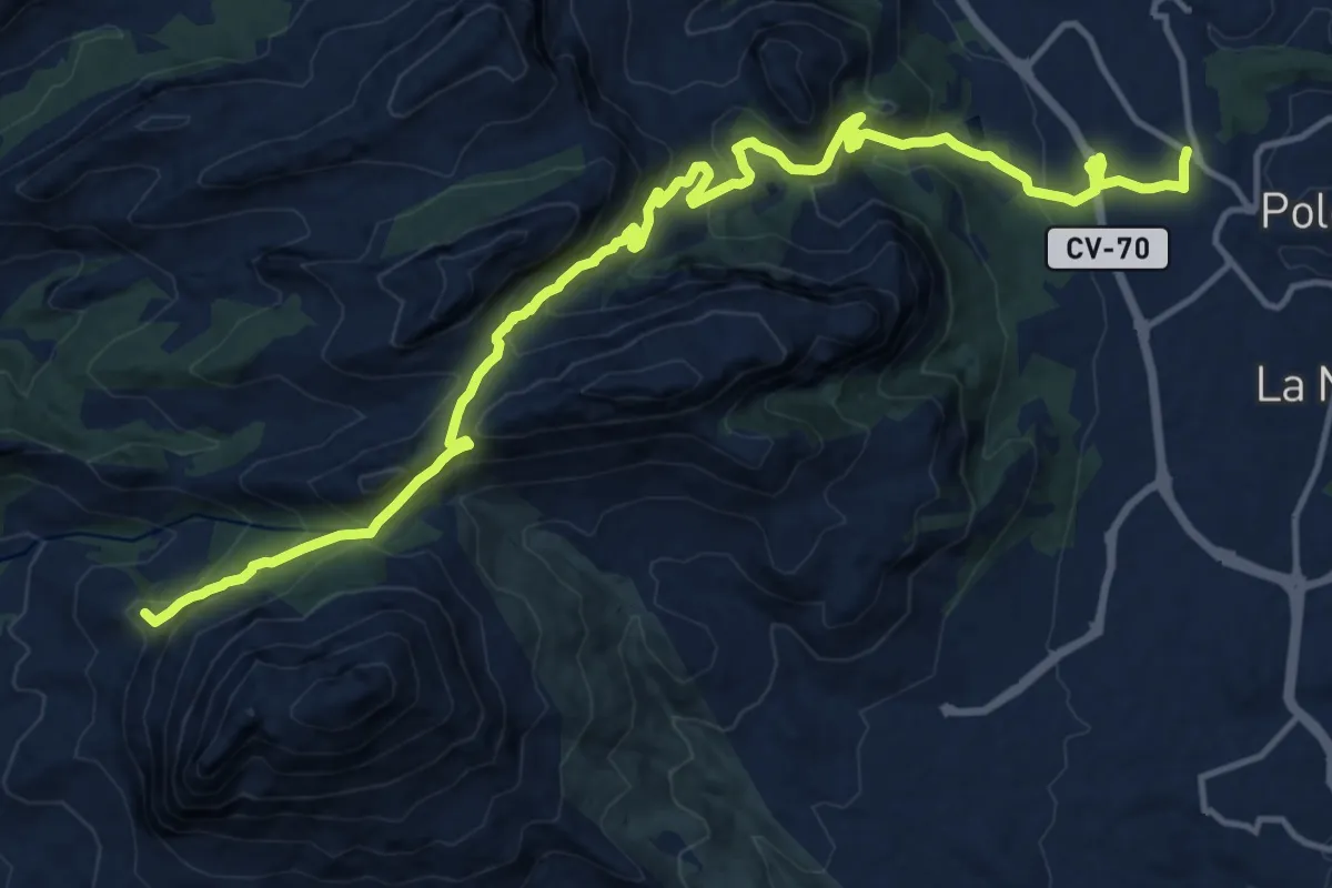
Demanding · Summit
Finestrat - Polop
20.5 km · ↑ 1133 m · 7 h 18 min · 2 km away
Easy · Trail
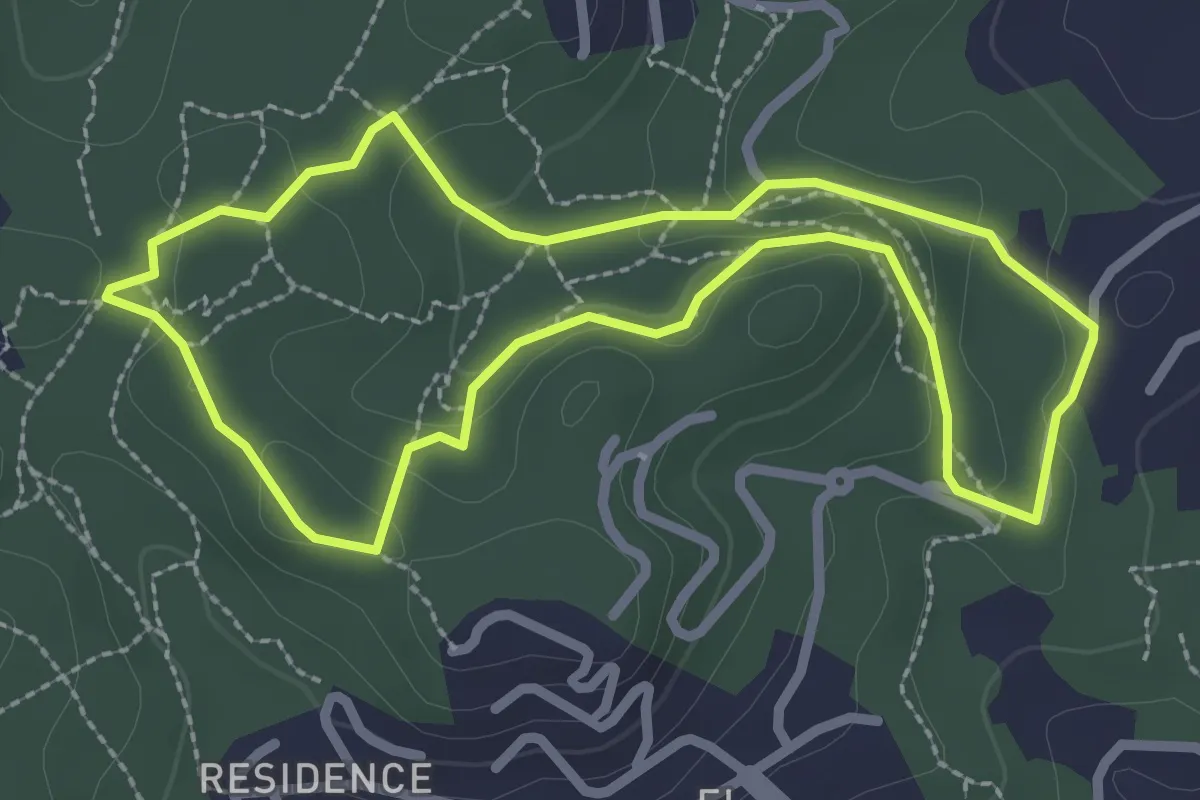
Red de senderos - Ruta 3
2.8 km · ↑ 70 m · 52 min · 2 km away
Demanding · Trail
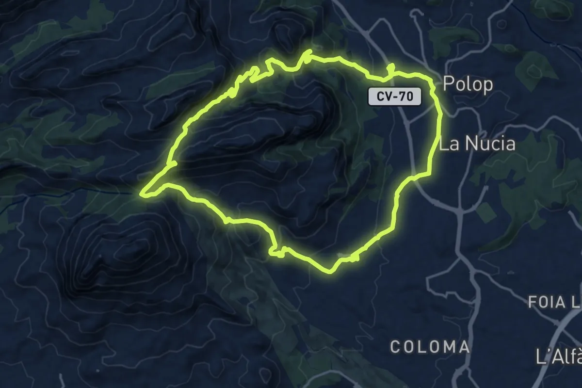
Polop - Collado del Llamp i Pouet - Polop
17.7 km · ↑ 807 m · 6 h 11 min · 3 km away
Medium · Trail
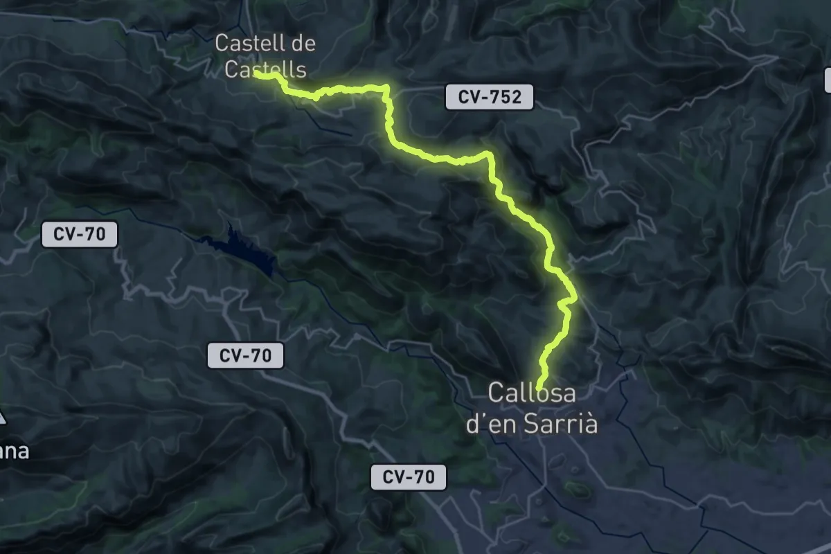
Senda Vella de Callosa d'en Sarrià
15.2 km · ↑ 755 m · 5 h 18 min · 5 km away
Medium · Summit
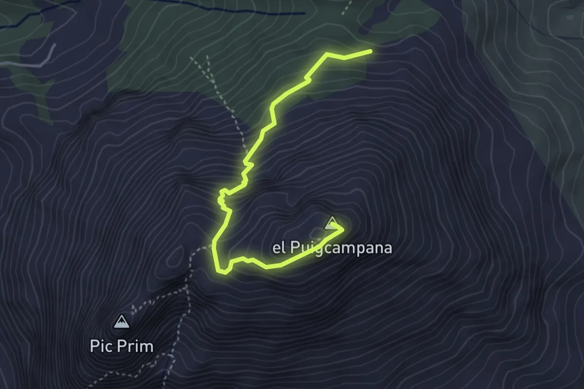
Pujada Puigcampana
4.4 km · ↑ 501 m · 2 h 8 min · 6 km away
Medium · Trail
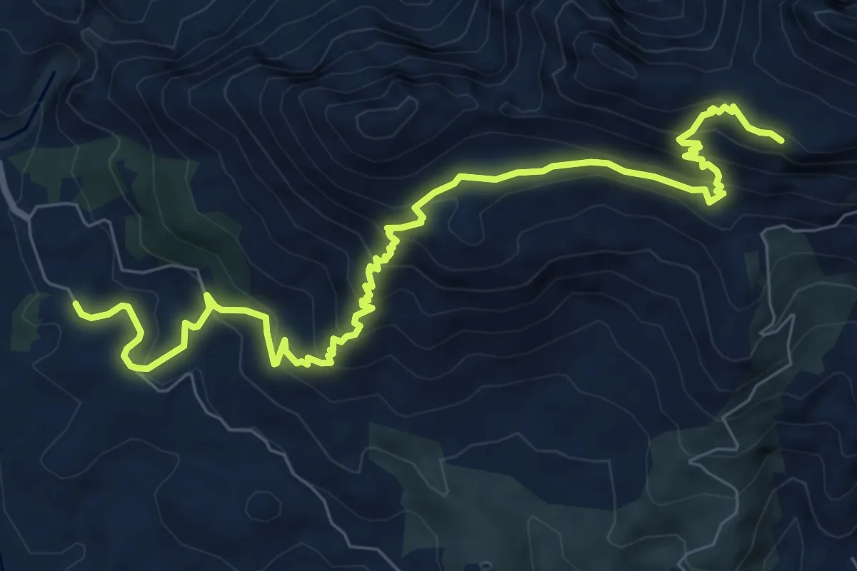
Camí del Fort
10.7 km · ↑ 696 m · 4 h 2 min · 8 km away
Medium · Summit
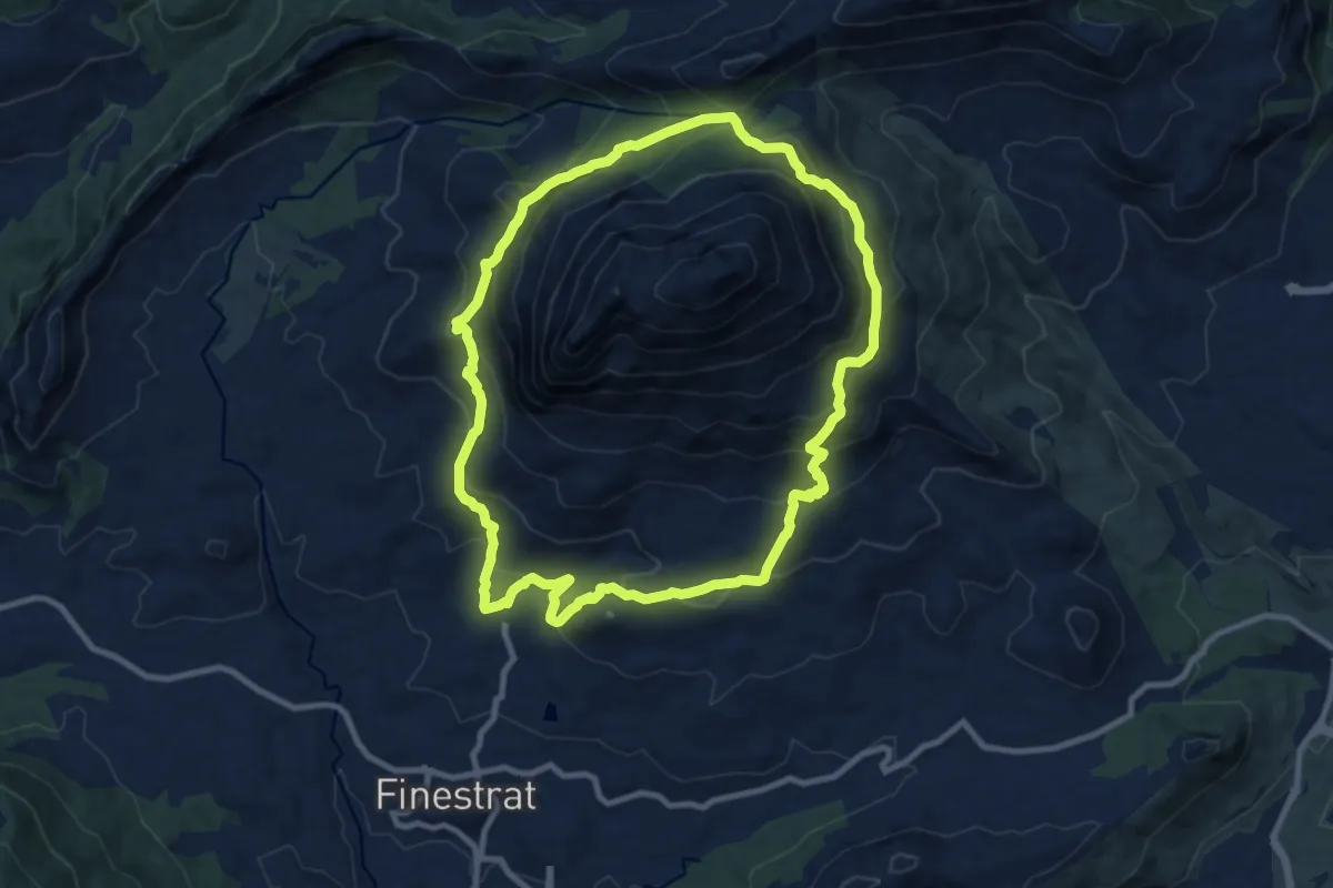
Volta al Puigcampana
10.7 km · ↑ 663 m · 4 h 7 min · 8 km away
Medium · Trail
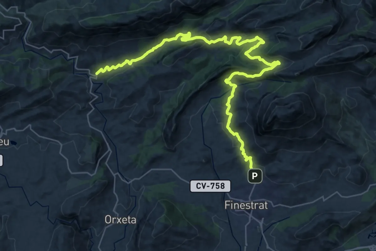
Finestrat-Sella
17.2 km · ↑ 602 m · 5 h 34 min · 8 km away
Demanding · Summit
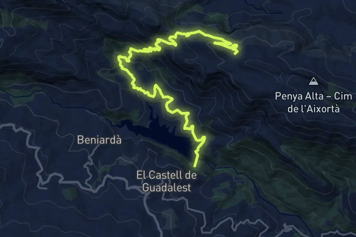
Guadalest - Cumbre de Aixortà
20.7 km · ↑ 1084 m · 7 h 14 min · 9 km away
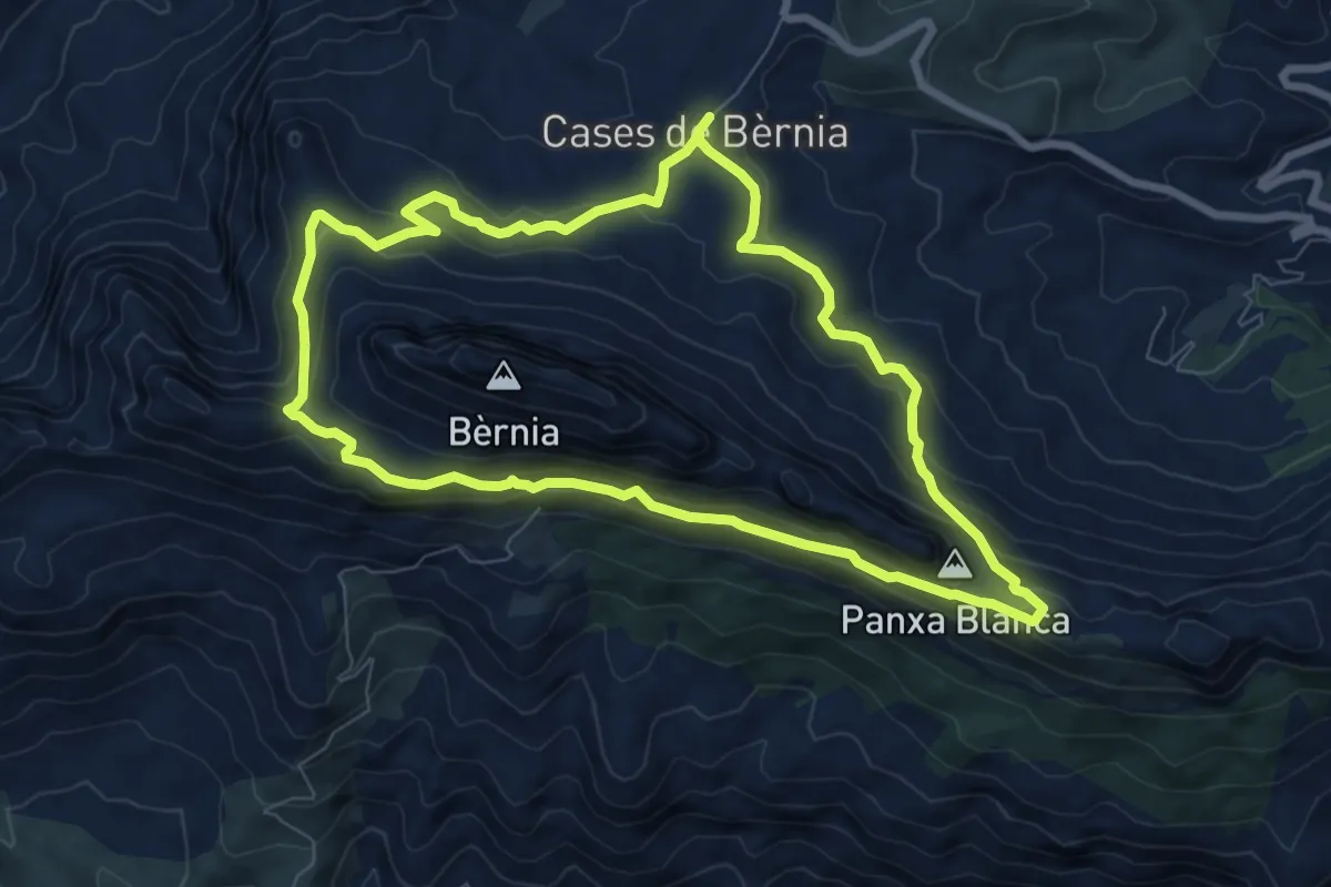
Demanding · Summit
Volta a Bèrnia
8.5 km · ↑ 381 m · 2 h 58 min · 10 km away
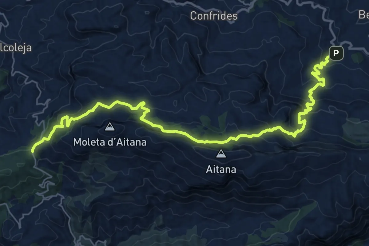
Demanding · Trail
Port de Tudons - Benifato
14.5 km · ↑ 854 m · 5 h 17 min · 11 km away
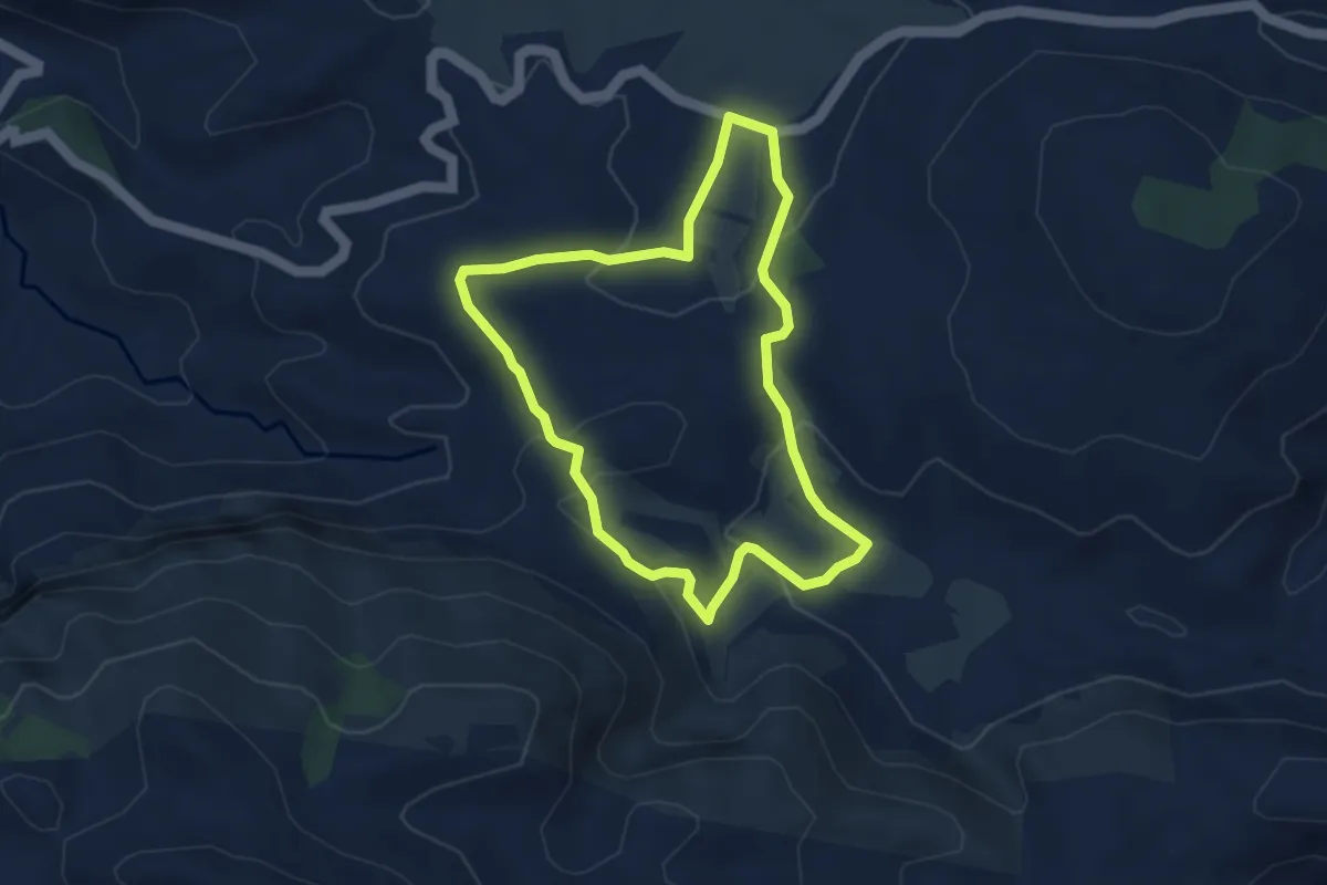
Medium · Trail
els Arcs
4.1 km · ↑ 108 m · 1 h 15 min · 12 km away
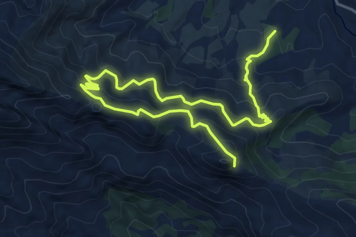
Demanding · Summit
El Castellet
12.6 km · ↑ 822 m · 4 h 46 min · 13 km away
Expert · Trail
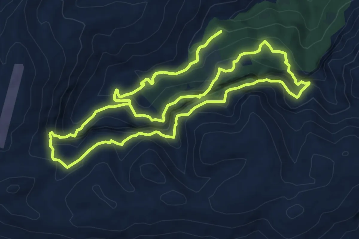
Sender del Badall i les Fonts de les Penyes Blanques
11.3 km · ↑ 792 m · 4 h 32 min · 13 km away
Demanding · Trail
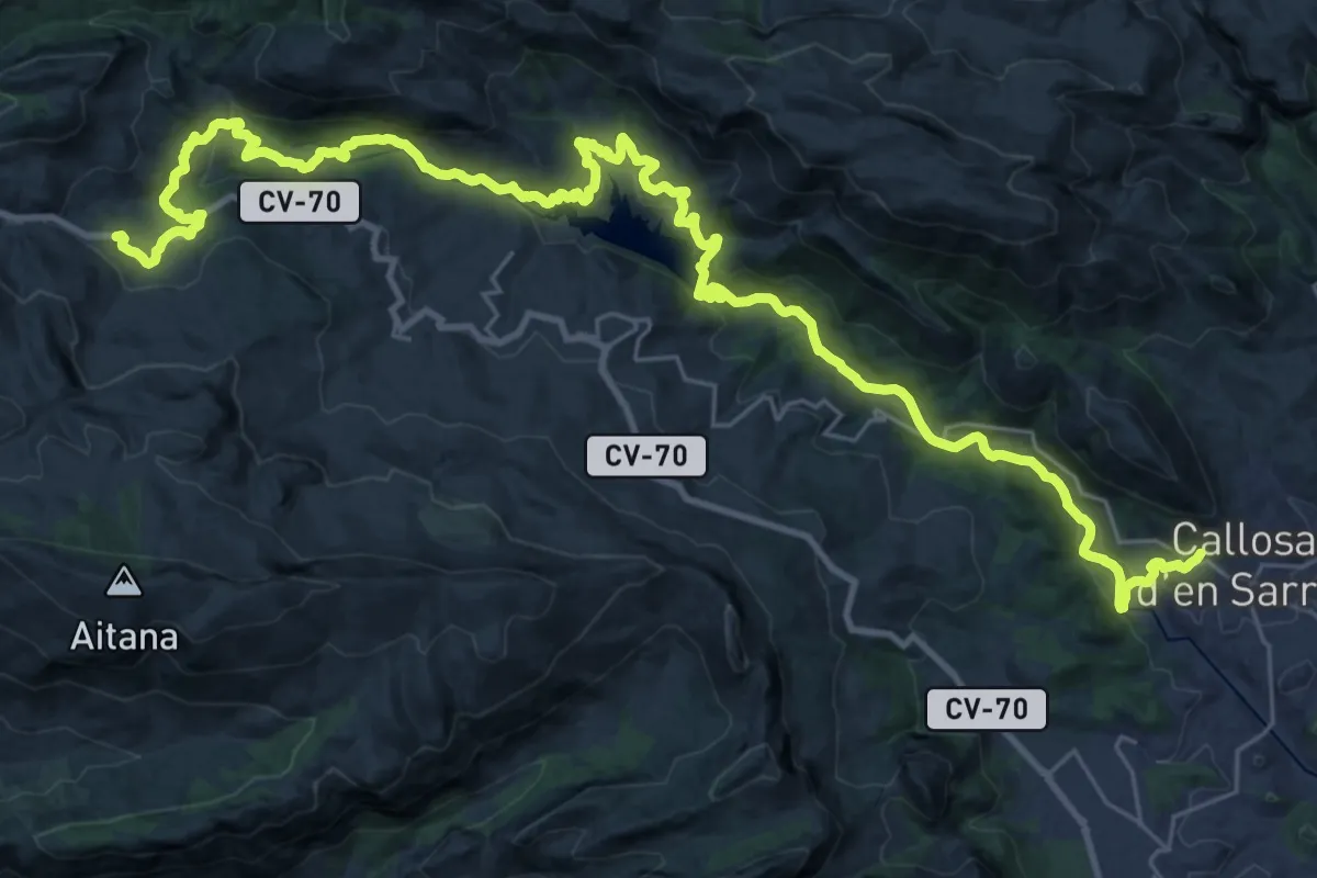
Callosa d'En Sarrià - Confrides pel riu
22.6 km · ↑ 519 m · 7 h 1 min · 15 km away