Trails near La Pola Llaviana / Pola de Laviana
41 hikes starting within 15 km, nearest first.
Nearest first
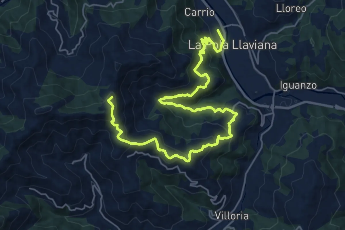
Demanding · Summit
Senda verde Altu la Vara - El Sutu
20.2 km · ↑ 1178 m · 7 h 20 min · under 1 km away
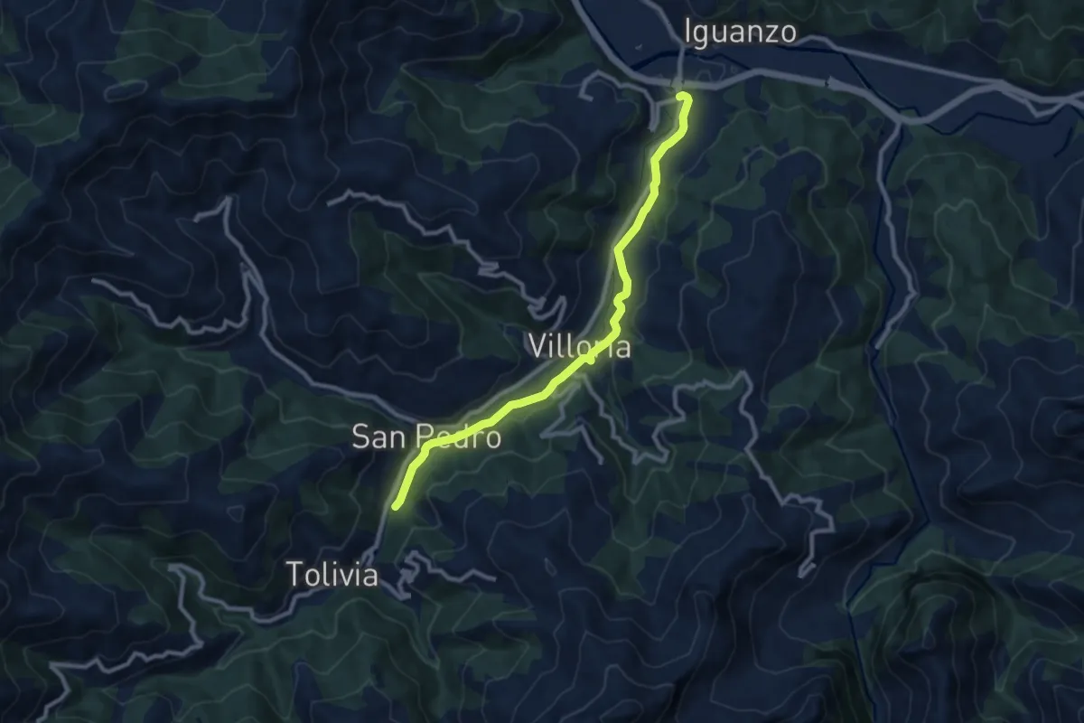
Medium · Trail
Puente de Arco - Tolivia
9.5 km · ↑ 159 m · 2 h 36 min · 2 km away
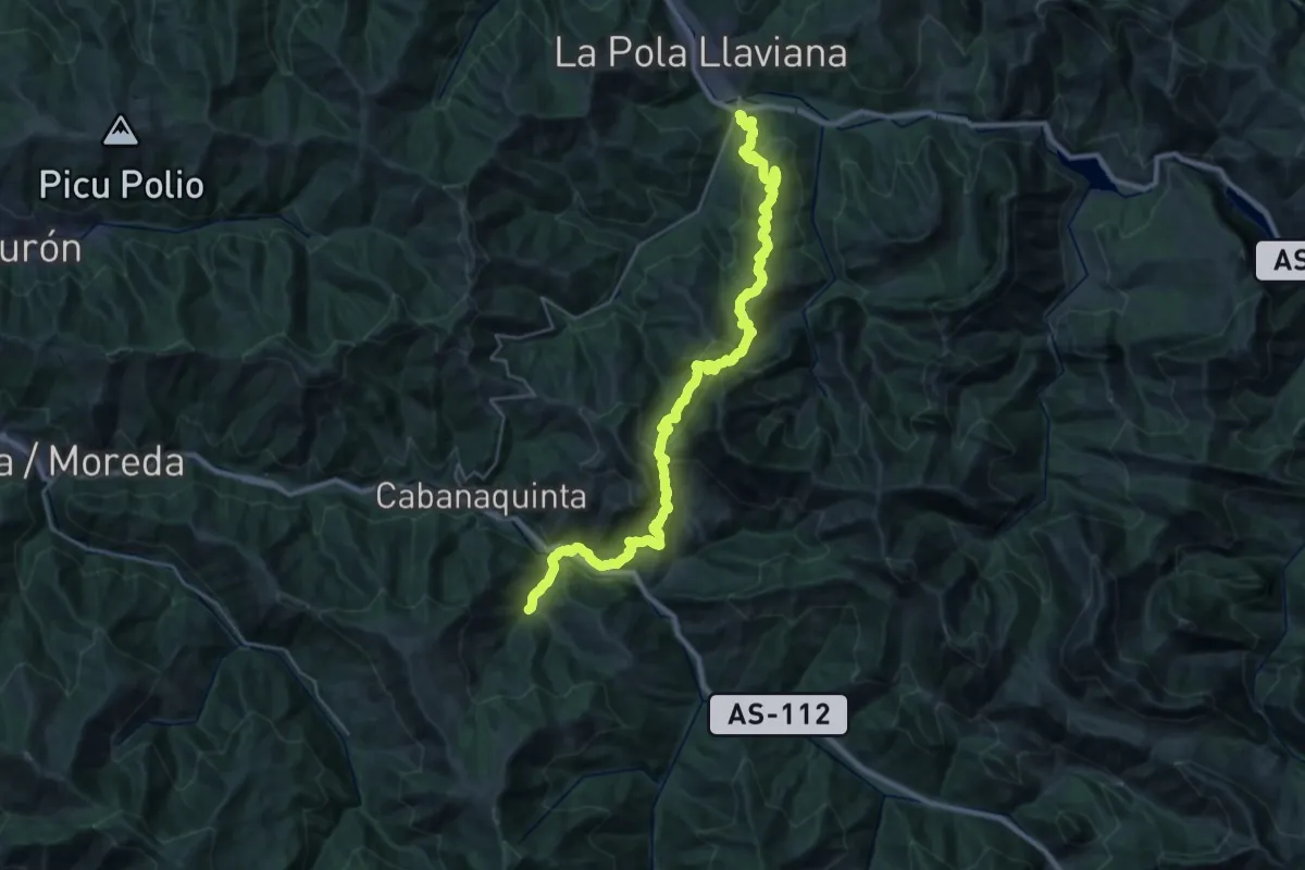
Demanding · Trail
Asturias Interior (Etapa 10)
18.5 km · ↑ 1201 m · 7 h 7 min · 2 km away
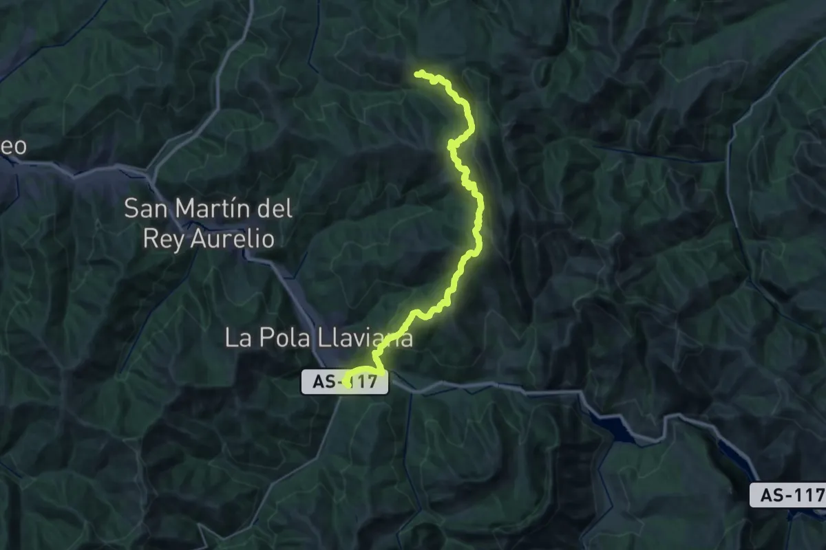
Demanding · Trail
Asturias Interior (Etapa 9)
14.9 km · ↑ 901 m · 5 h 31 min · 2 km away
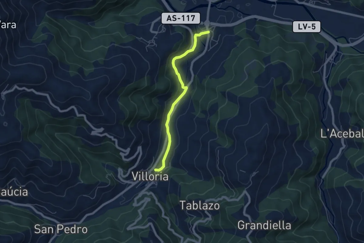
Easy · Trail
La Aldea Perdida
5.1 km · ↑ 142 m · 1 h 31 min · 2 km away
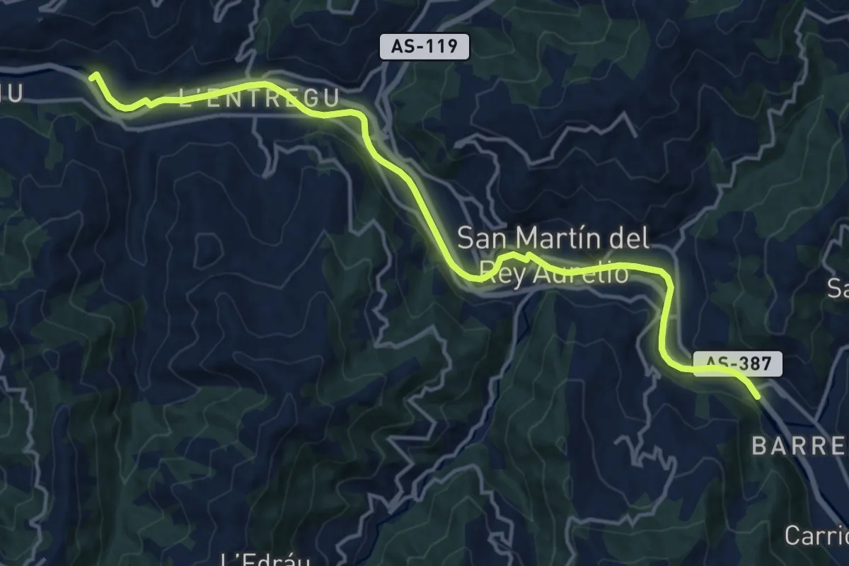
Medium · Trail
Paséu fluvial del Nalón
16.6 km · ↑ 115 m · 4 h 10 min · 2 km away
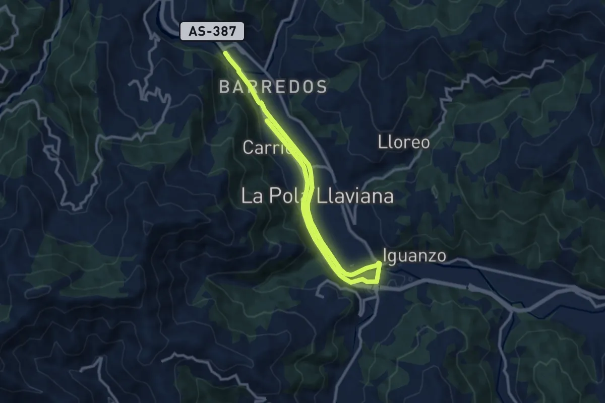
Medium · Trail
Paséu fluvial del Nalón
14.4 km · ↑ 101 m · 3 h 37 min · 2 km away
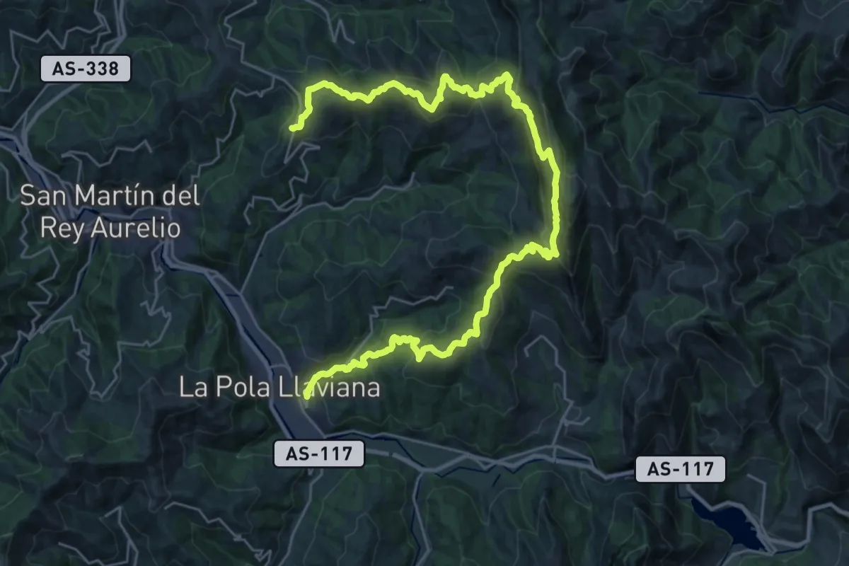
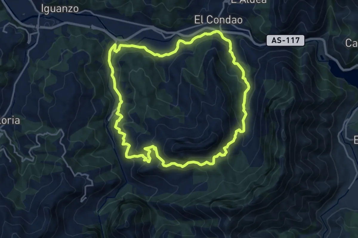
Demanding · Trail
La Faya - La Pola
18.0 km · ↑ 767 m · 6 h 20 min · 5 km away
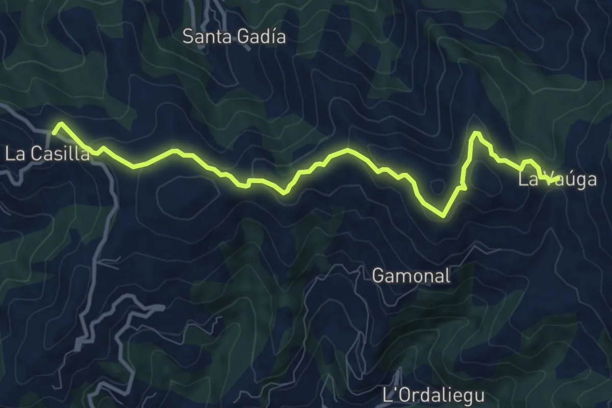
Medium · Trail
Ruta del Reigusu
13.5 km · ↑ 740 m · 4 h 58 min · 5 km away
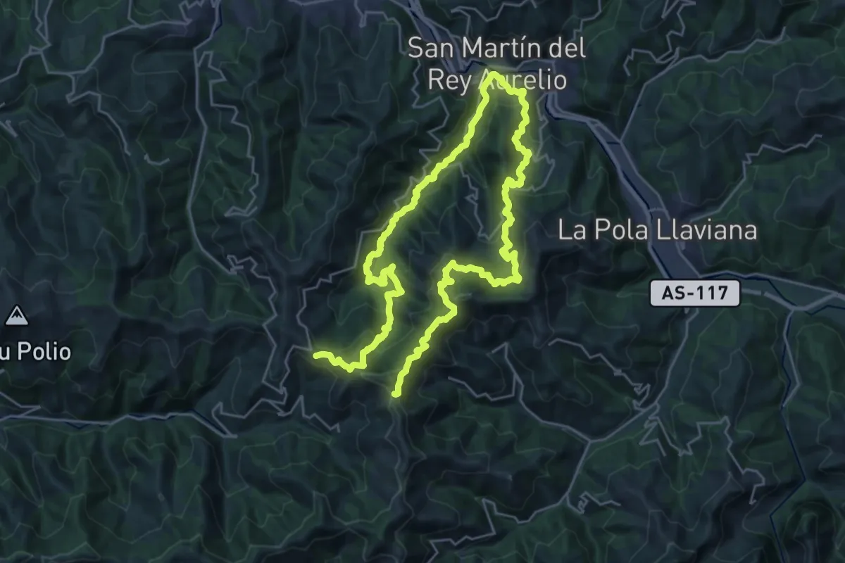
Medium · Trail
La Vaúga
10.2 km · ↑ 380 m · 3 h 14 min · 6 km away
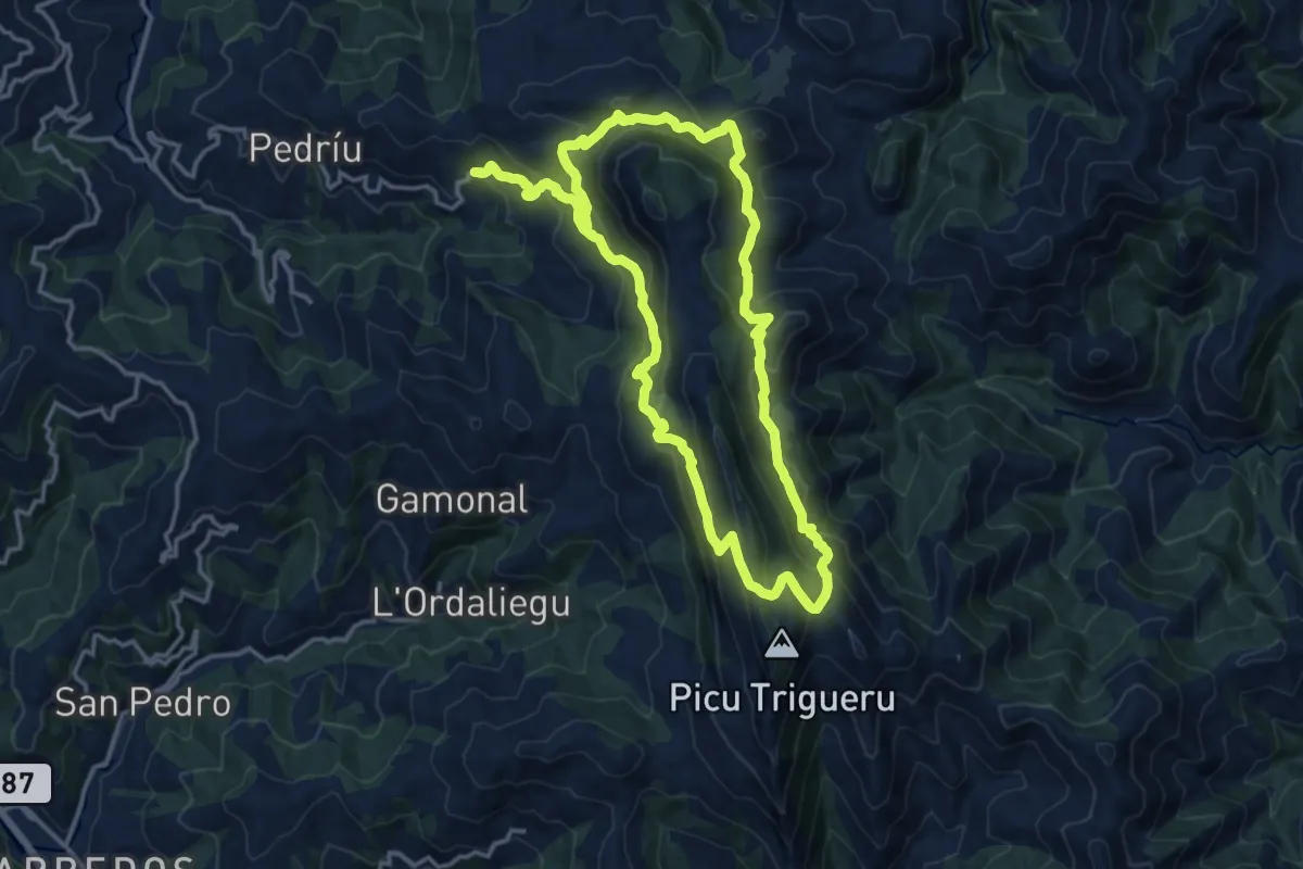
Demanding · Summit
Senda verde Campa Cimera - La Colladiella
43.1 km · ↑ 2318 m · 15 h 11 min · 6 km away
Demanding · Summit
Peñamayor - Trigueira
15.2 km · ↑ 927 m · 5 h 49 min · 6 km away
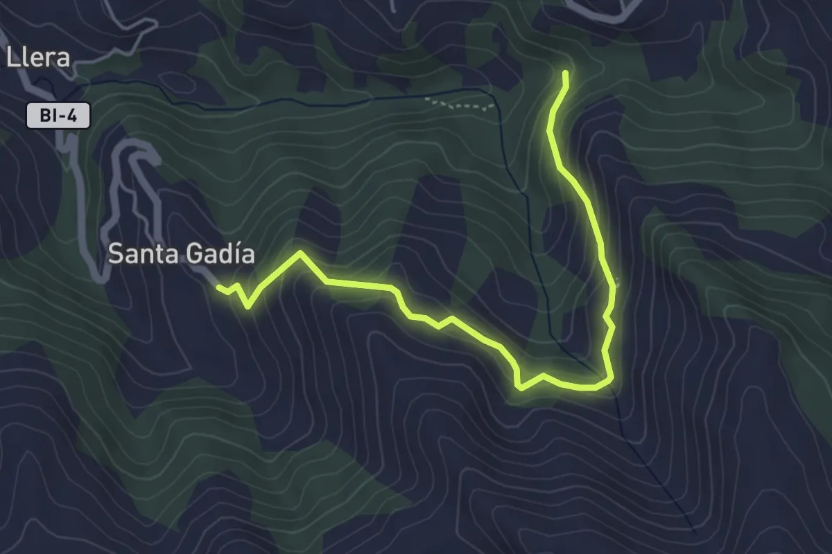
Medium · Trail
Senda Peña del Hombre
5.0 km · ↑ 381 m · 2 h 1 min · 6 km away
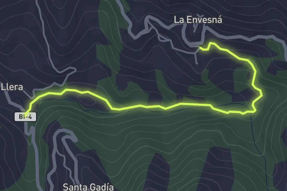
Medium · Trail
Ruta Los Molinos
4.4 km · ↑ 165 m · 1 h 24 min · 7 km away
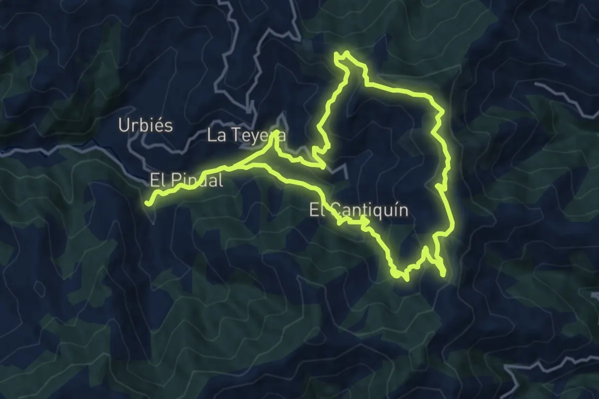
Medium · Trail
Sierra de Navaliego
13.5 km · ↑ 688 m · 4 h 53 min · 7 km away
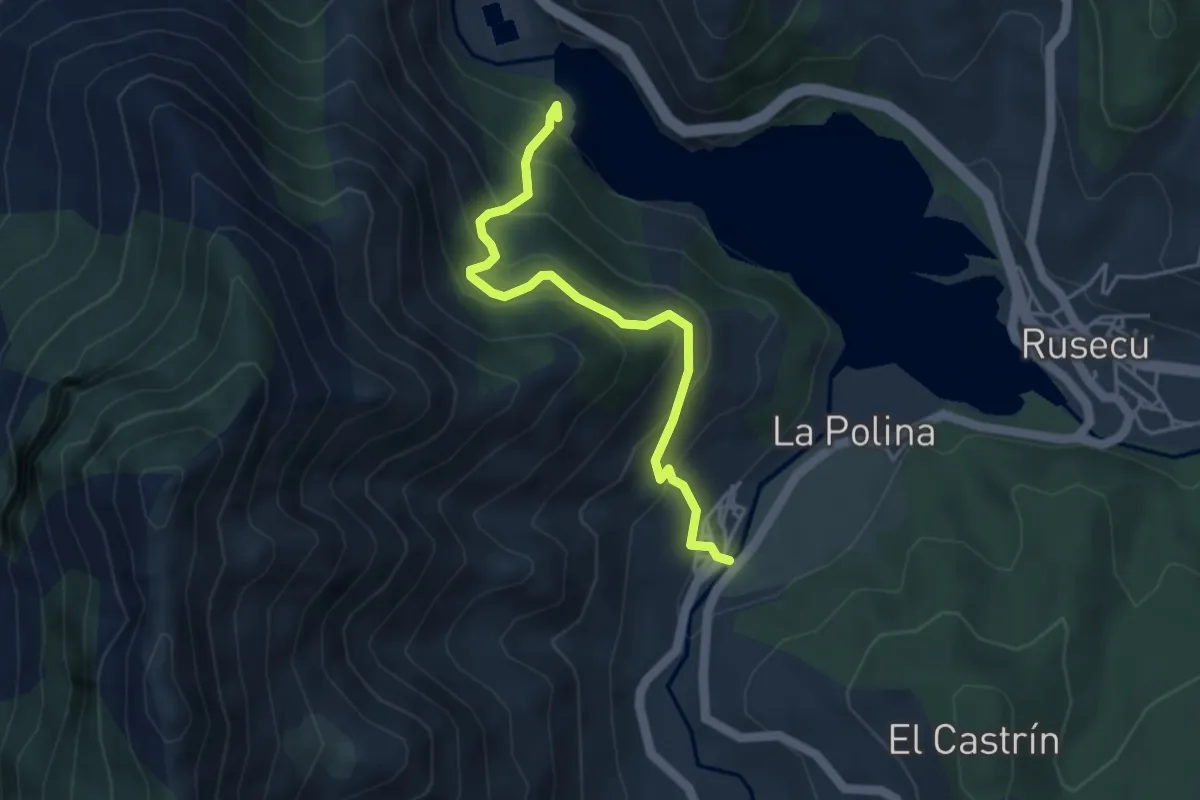
Medium · Trail
Torreon de Villamoréi
4.3 km · ↑ 444 m · 1 h 58 min · 8 km away
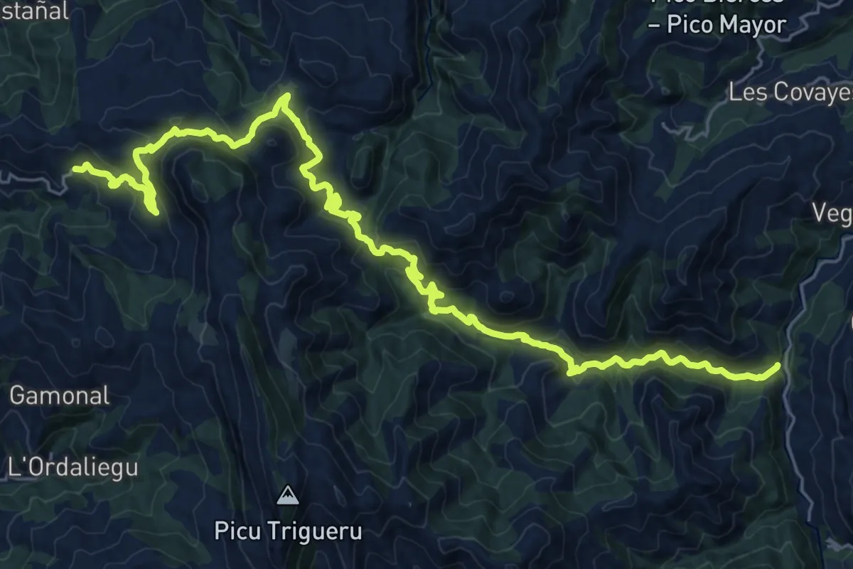
Medium · Trail
Asturias Interior (Etapa 8)
15.3 km · ↑ 566 m · 5 h 13 min · 8 km away
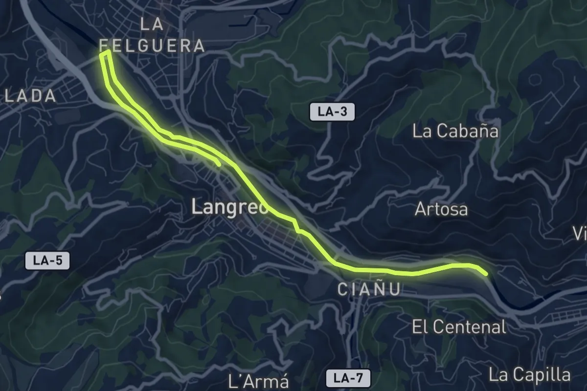
Medium · Trail
Paséu fluvial del Nalón
11.6 km · ↑ 53 m · 2 h 51 min · 9 km away
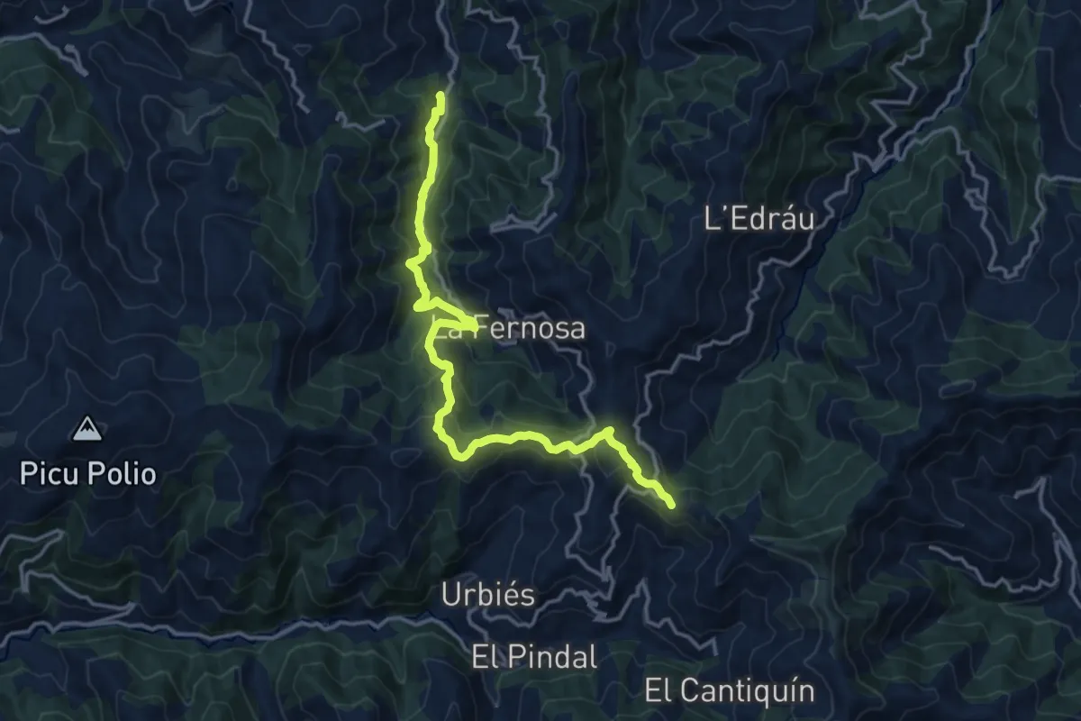
Medium · Summit
Senda Verde Ruta de los Molinos (La Nueva - Colladiella)
16.1 km · ↑ 786 m · 5 h 30 min · 9 km away
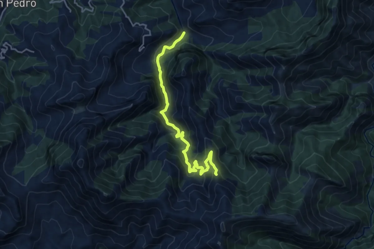
Medium · Trail
Ruta del Raigoso
13.5 km · ↑ 790 m · 4 h 54 min · 9 km away
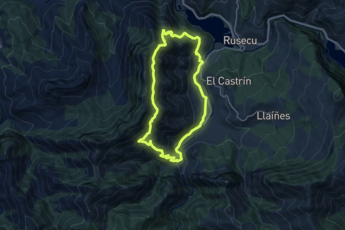
Medium · Summit
Ruta de la Sierra del Crespón
10.6 km · ↑ 791 m · 4 h 22 min · 9 km away
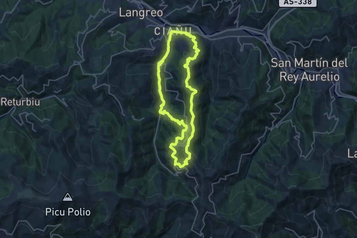
Demanding · Trail
Circular de Ciaño
15.9 km · ↑ 803 m · 5 h 42 min · 9 km away
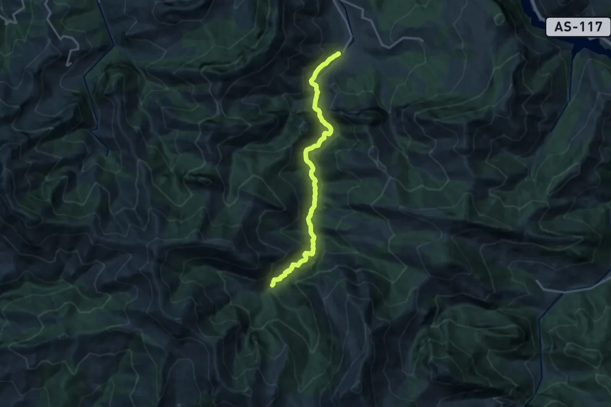
Medium · Trail
Ruta del Alba
14.1 km · ↑ 781 m · 5 h 1 min · 9 km away
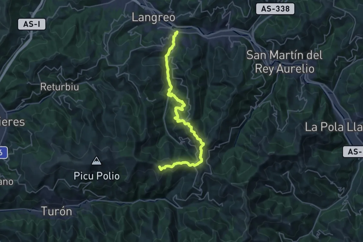
Demanding · Summit
Vuelta a Langreo I
24.0 km · ↑ 1182 m · 8 h 14 min · 10 km away
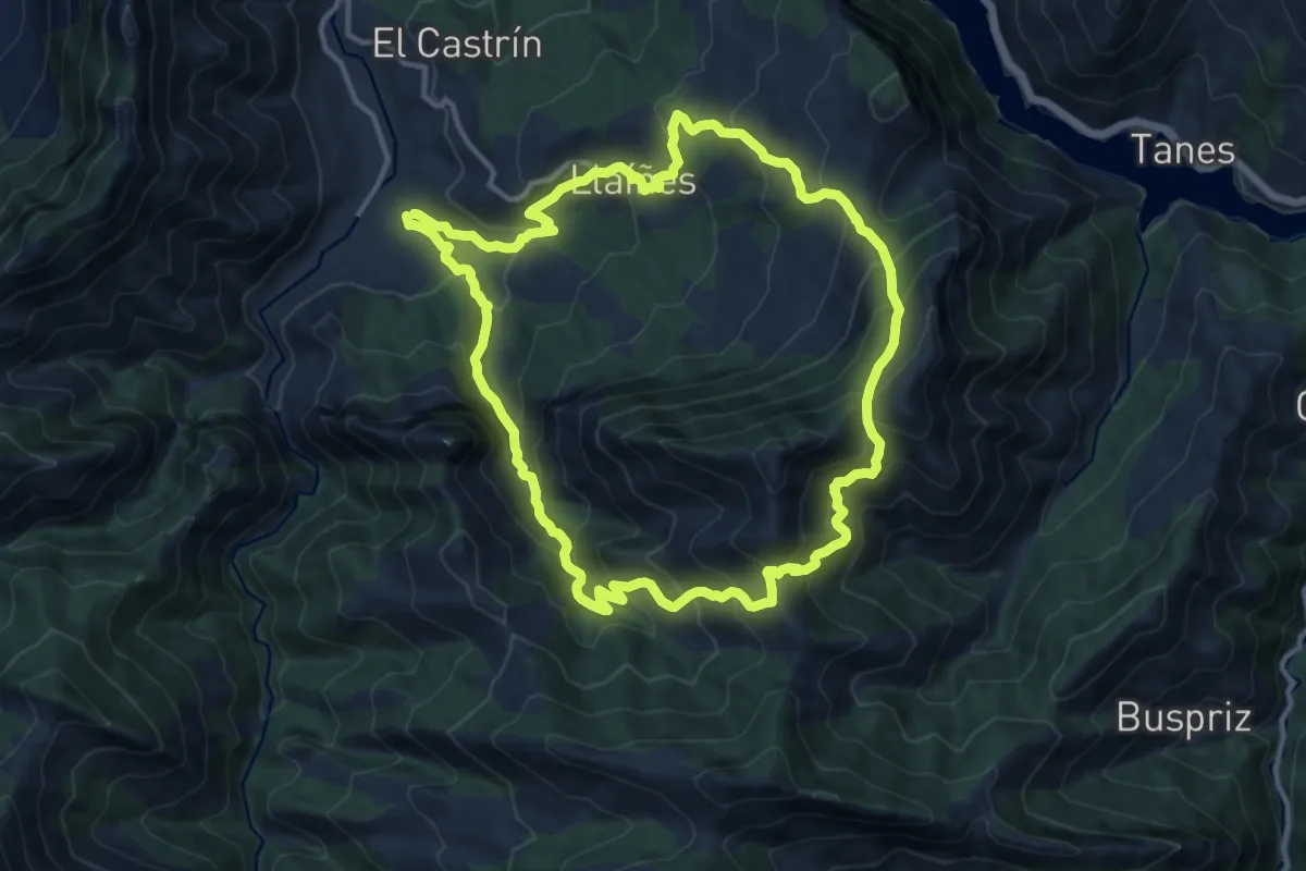
Demanding · Trail
Ruta del Cuyargayos
13.0 km · ↑ 997 m · 5 h 25 min · 10 km away
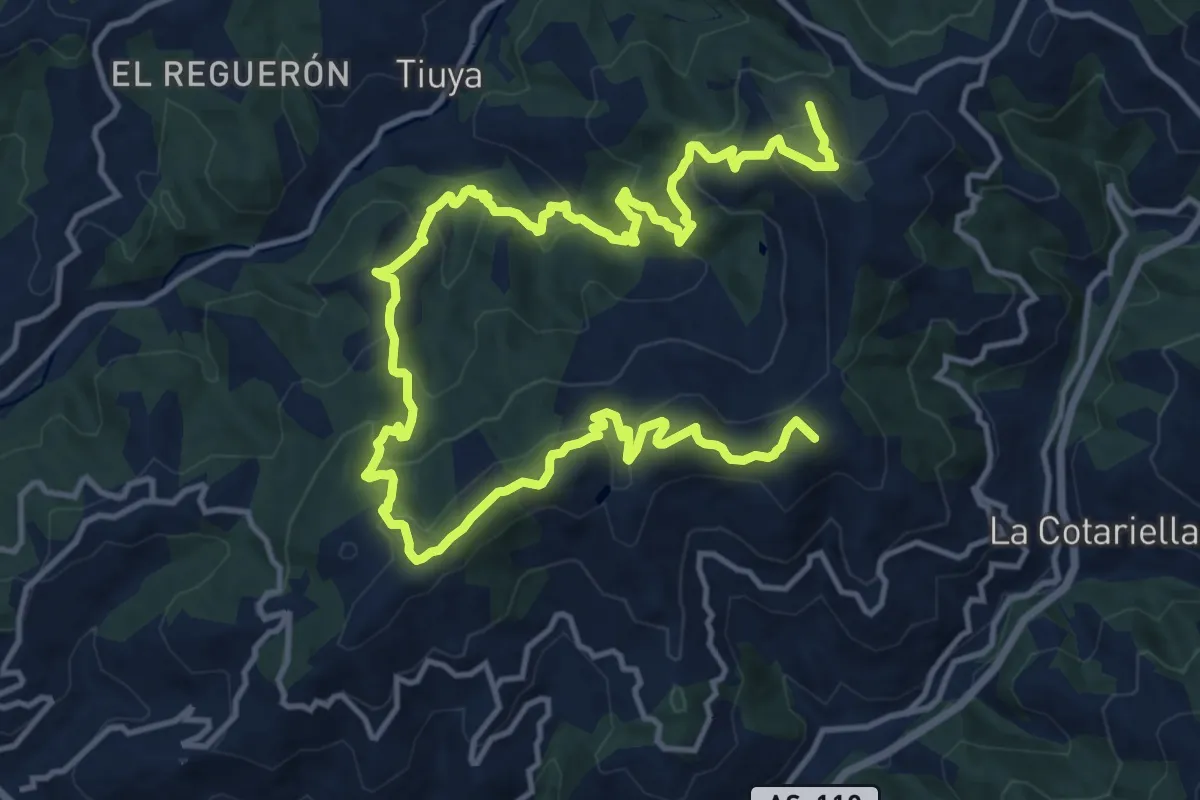
Demanding · Summit
Sendas de Tuilla
21.9 km · ↑ 1185 m · 7 h 44 min · 10 km away
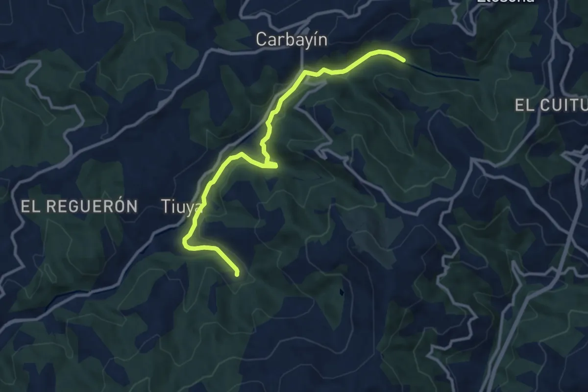
Medium · Trail
Senda del Trole
10.0 km · ↑ 185 m · 2 h 46 min · 10 km away
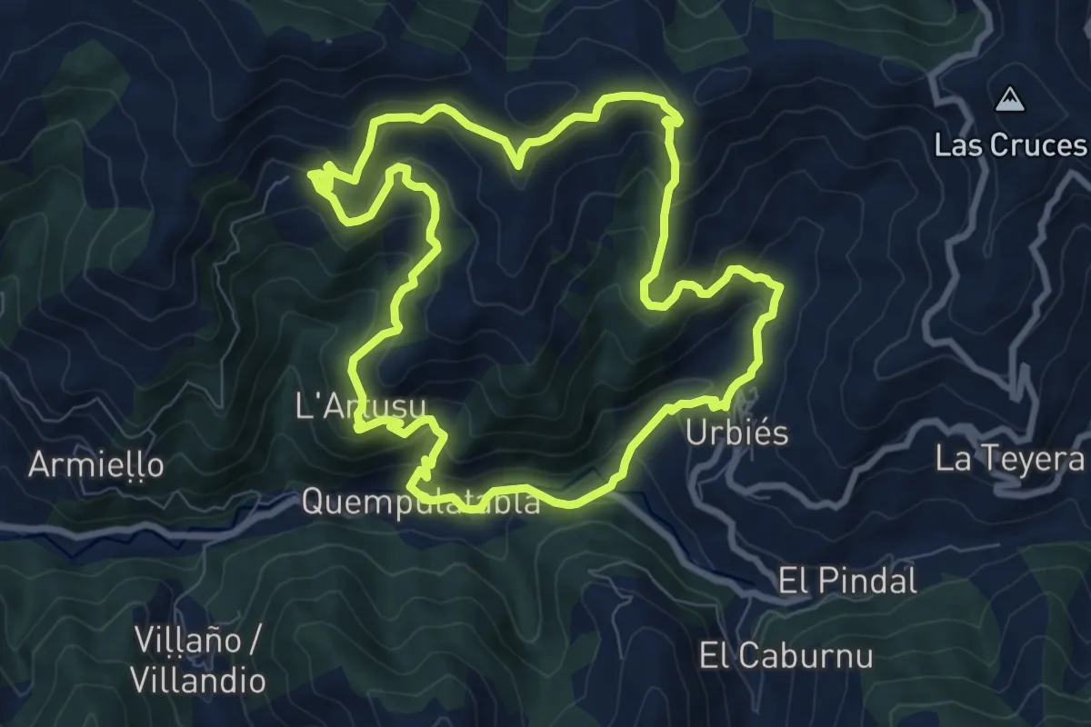
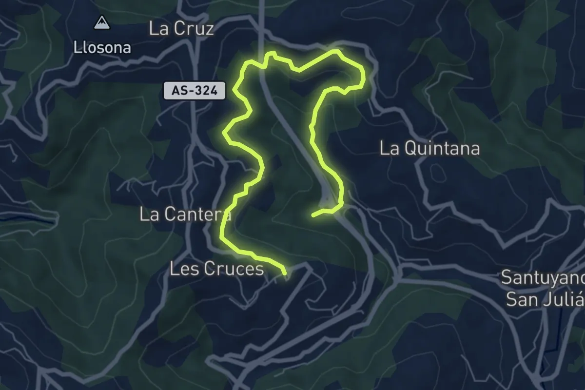
Medium · Summit
Ruta del Cordal de Urbies
8.9 km · ↑ 581 m · 3 h 29 min · 10 km away
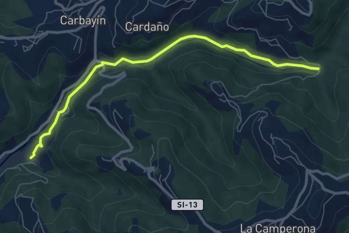
Medium · Trail
Ruta Tunel de Saus
8.2 km · ↑ 378 m · 2 h 45 min · 10 km away
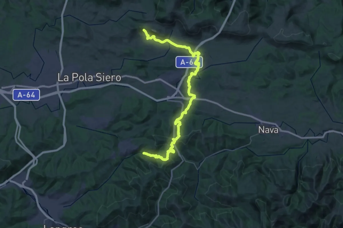
Easy · Trail
Senda Saús de Baxo - Mosquitera
6.5 km · ↑ 112 m · 1 h 47 min · 11 km away
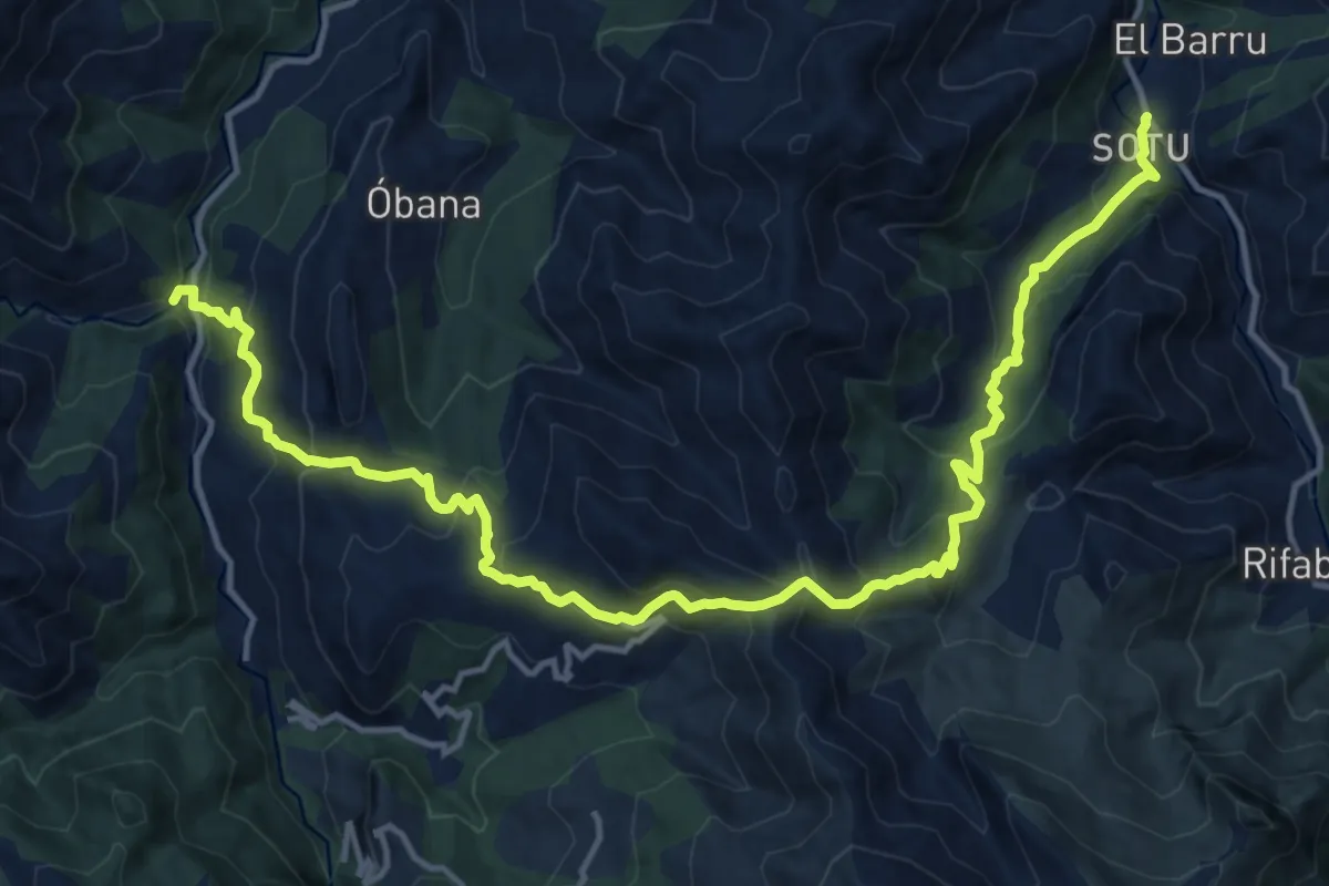
Demanding · Trail
Vía Verde de la Viona
19.7 km · ↑ 634 m · 6 h 18 min · 11 km away
Demanding · Trail
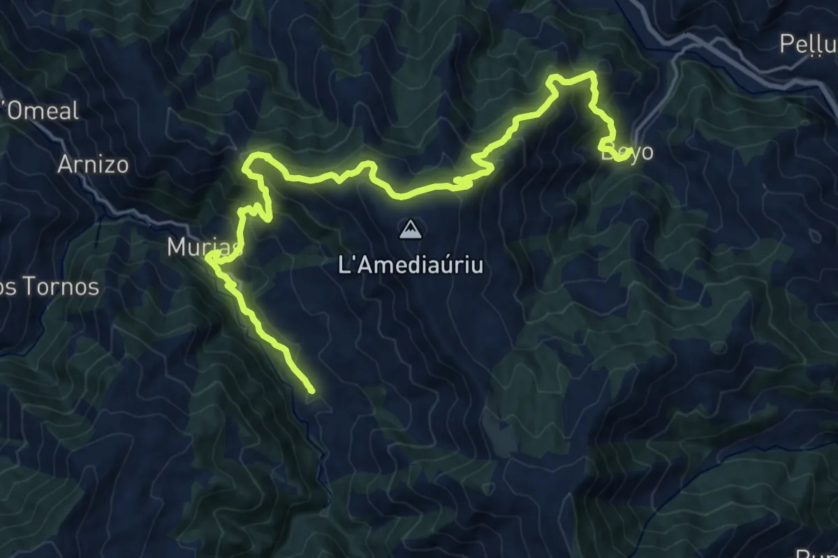
Asturias Interior (Etapa 7)
18.9 km · ↑ 1262 m · 7 h 13 min · 12 km away
Demanding · Trail
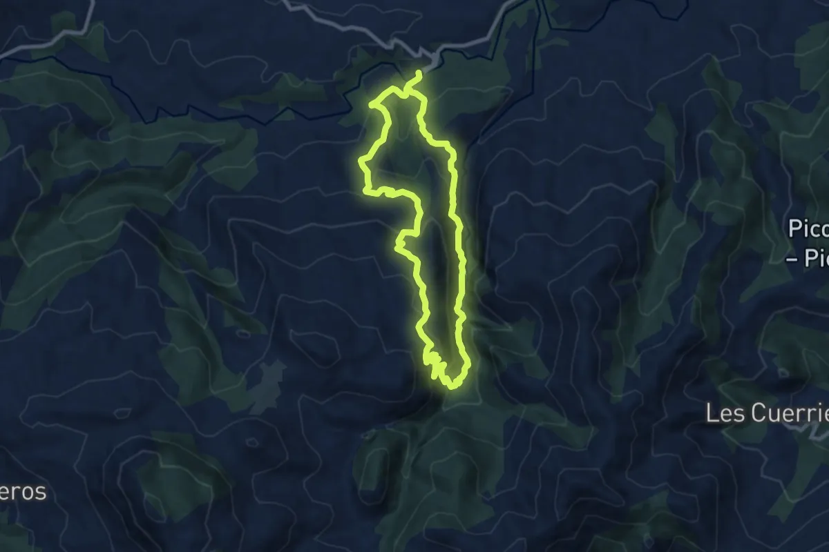
Asturias Interior (Etapa 11)
12.2 km · ↑ 908 m · 4 h 56 min · 12 km away
Demanding · Trail
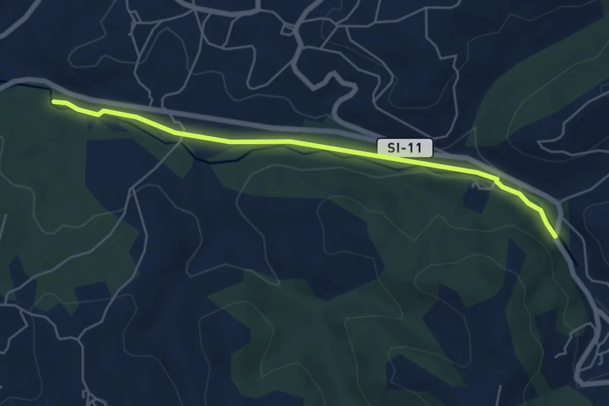
Foces del Río Pendón
16.5 km · ↑ 965 m · 5 h 59 min · 13 km away
Easy · Trail
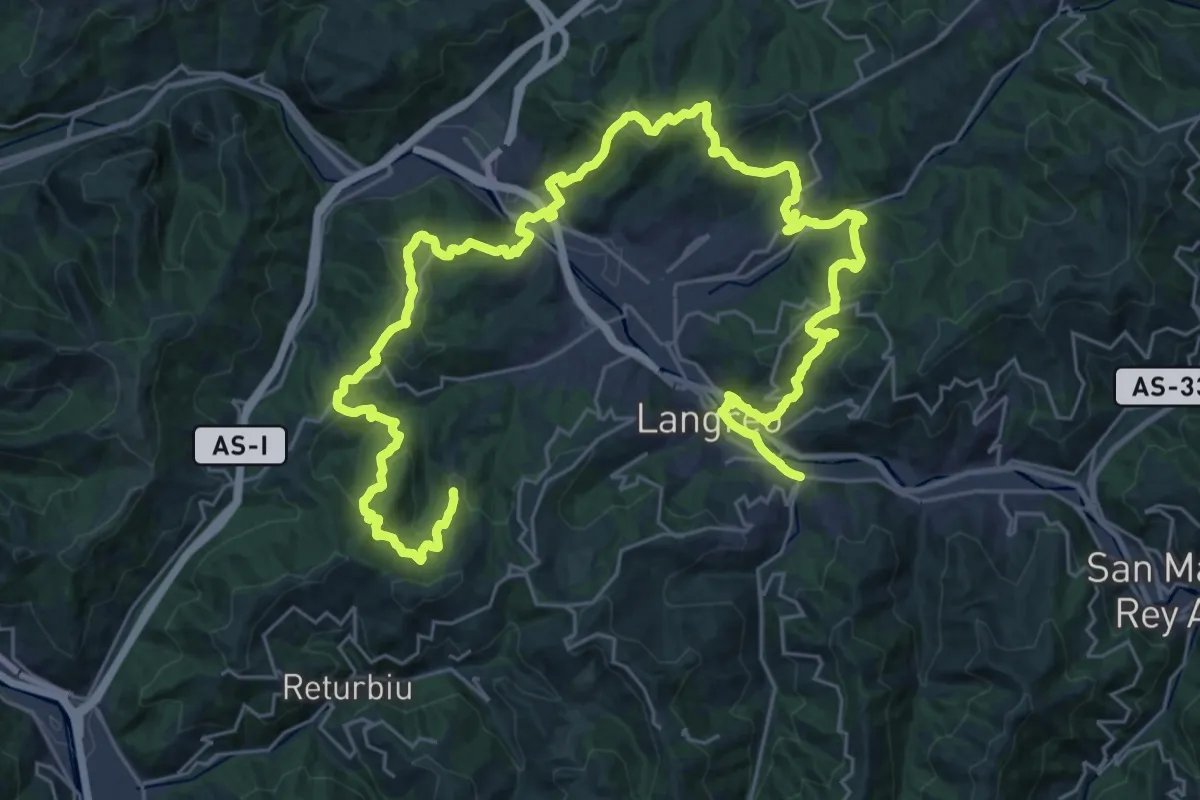
Senda del Rio Negro
5.2 km · ↑ 52 m · 1 h 20 min · 13 km away
Demanding · Trail
Vuelta a Langreo II
24.3 km · ↑ 977 m · 8 h 17 min · 14 km away
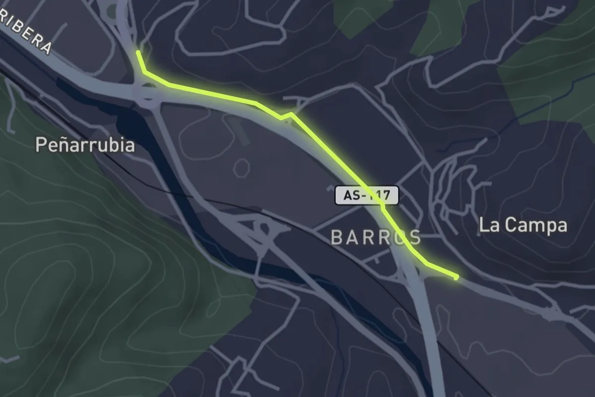
Easy · Trail
Riañu - Barros
2.6 km · ↑ 44 m · 42 min · 14 km away
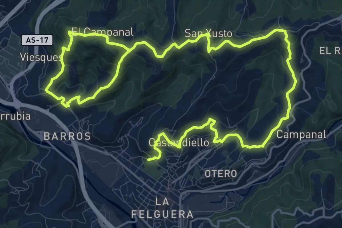
Demanding · Trail
Sendas de la Felguera y Barros
23.6 km · ↑ 1017 m · 7 h 46 min · 14 km away
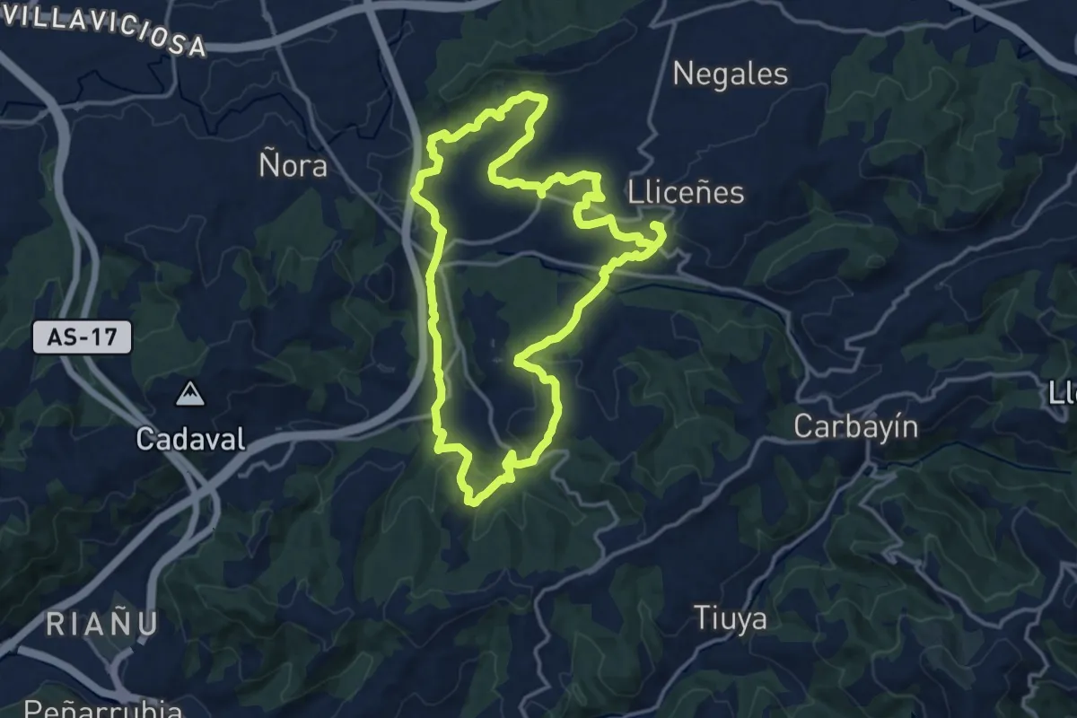
Medium · Trail
Senda de Valdesoto (tramo oeste)
15.1 km · ↑ 405 m · 4 h 38 min · 15 km away
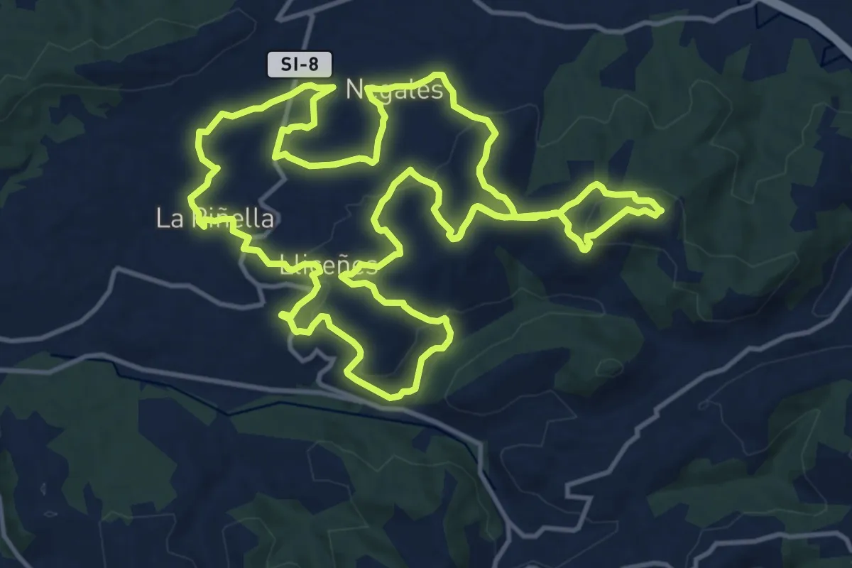
Medium · Trail
Senda de Valdesoto (tramo este)
15.9 km · ↑ 444 m · 4 h 55 min · 15 km away
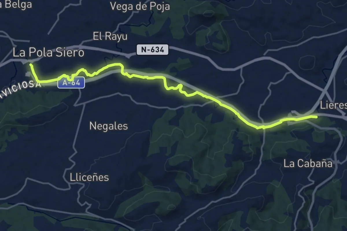
Medium · Trail
Senda fluvial del Río Nora (peatonal)
16.3 km · ↑ 64 m · 3 h 59 min · 15 km away