Trails near la Seu d'Urgell
23 hikes starting within 15 km, nearest first.
Nearest first
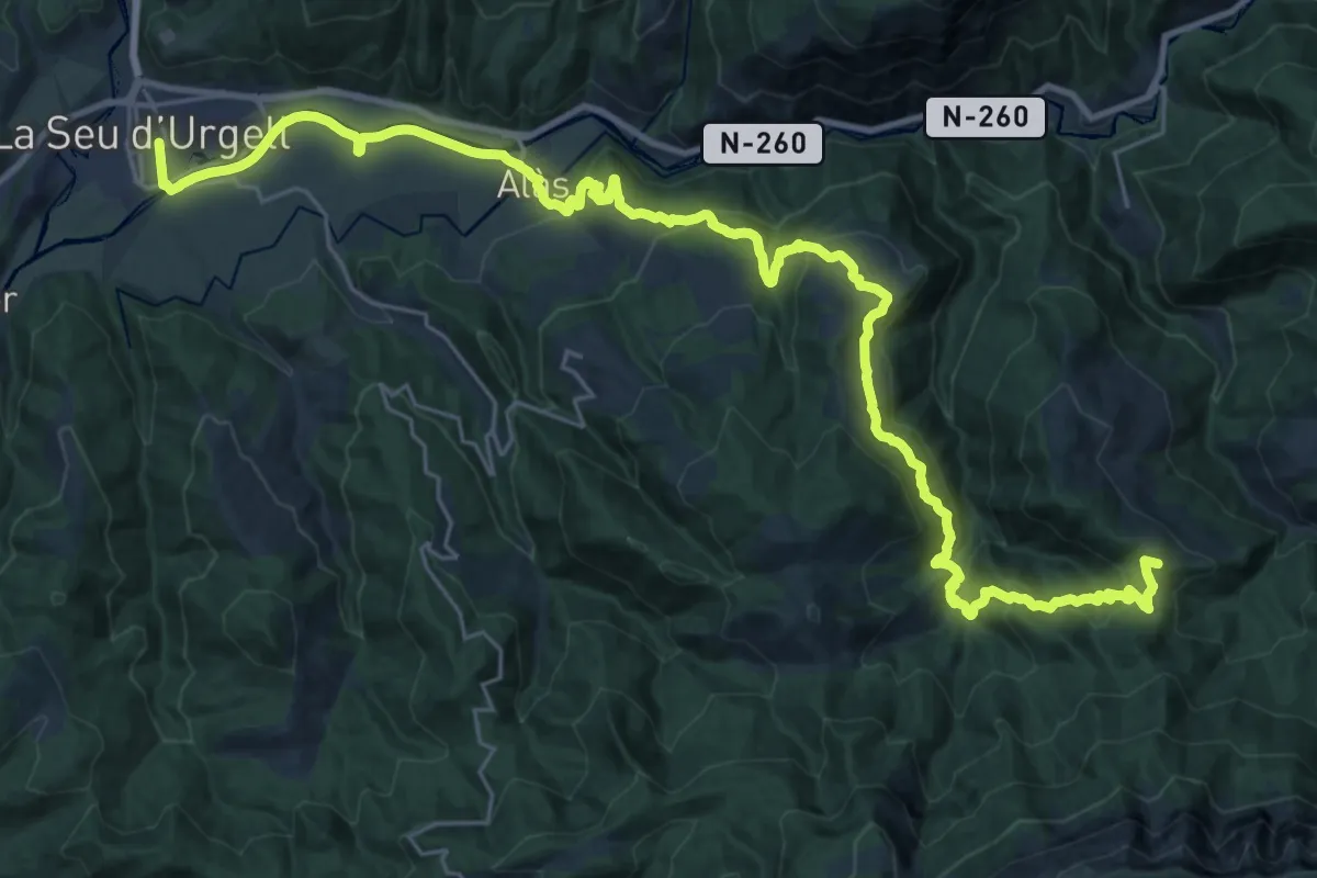
Demanding · Summit
GR 3 Sender Central de Catalunya - Etapa 20
38.6 km · ↑ 1453 m · 12 h 15 min · under 1 km away
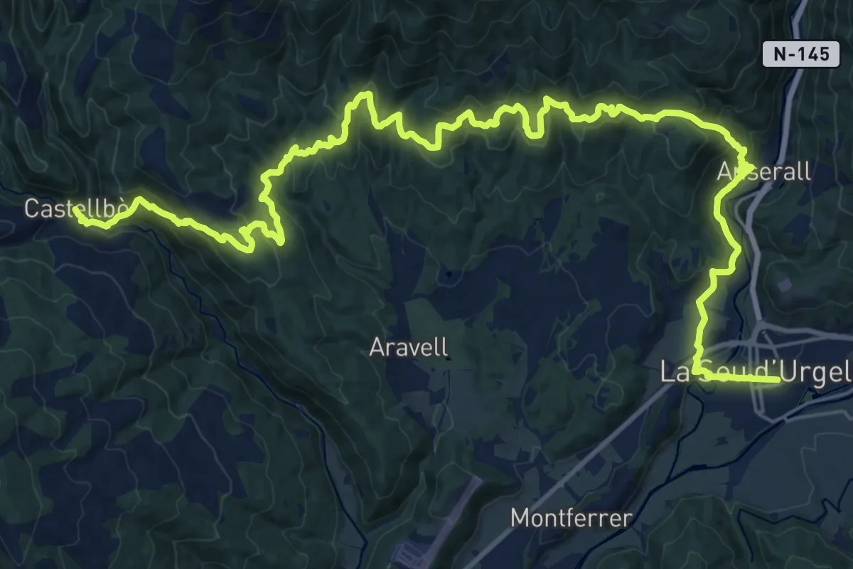
Demanding · Trail
GR 3 Sender Central de Catalunya - Etapa 19
18.6 km · ↑ 819 m · 6 h 21 min · under 1 km away
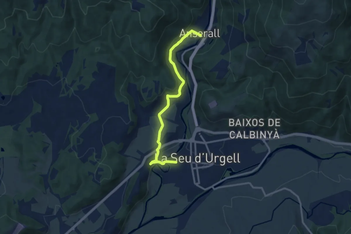
Easy · Trail
La Seu-Anserall
8.0 km · ↑ 212 m · 2 h 21 min · under 1 km away
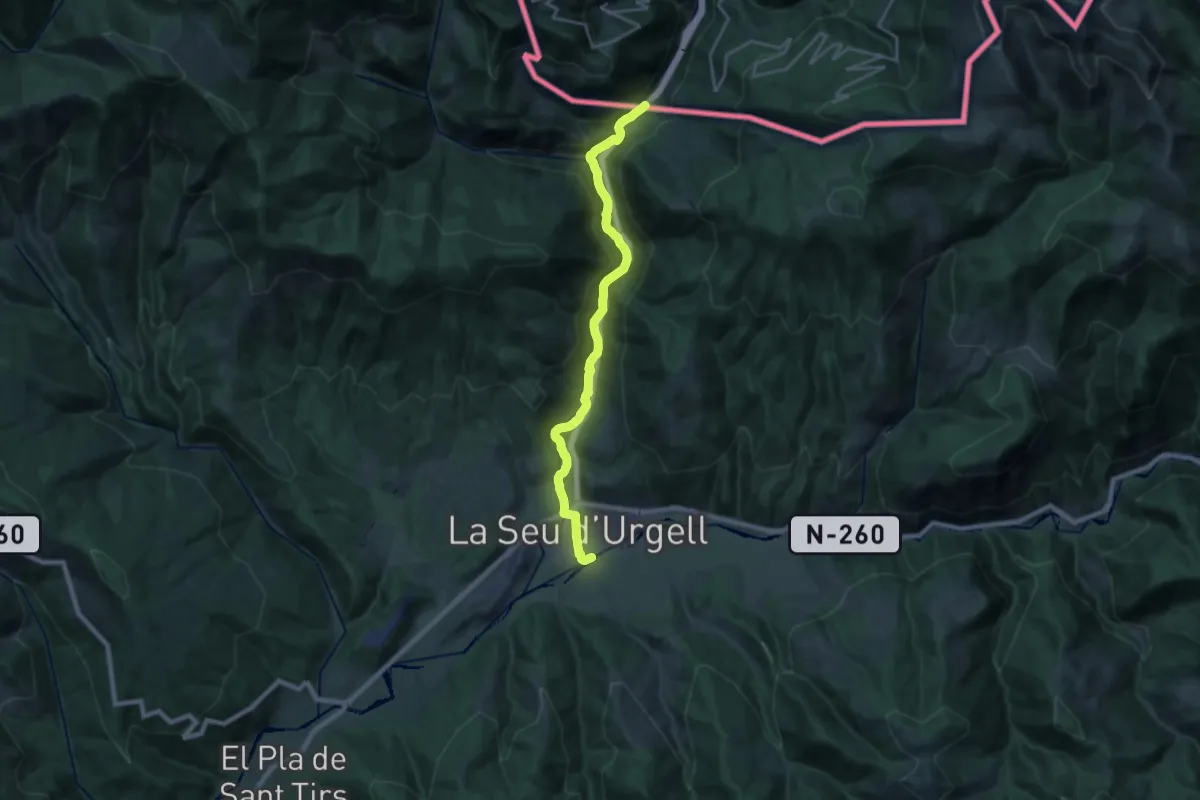
Demanding · Trail
GR 7 Catalunya - Etapa 01
23.1 km · ↑ 443 m · 6 h 25 min · 1 km away
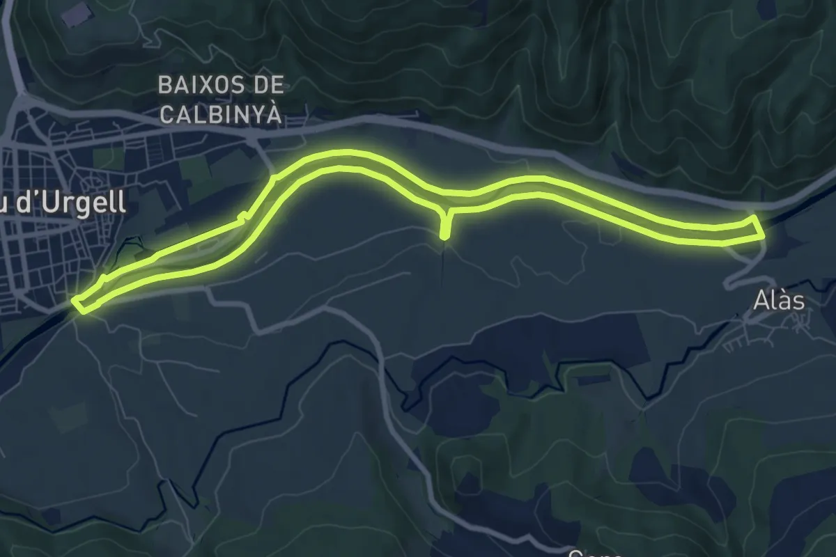
Medium · Trail
Volta al Segre
8.8 km · ↑ 40 m · 2 h 17 min · 1 km away
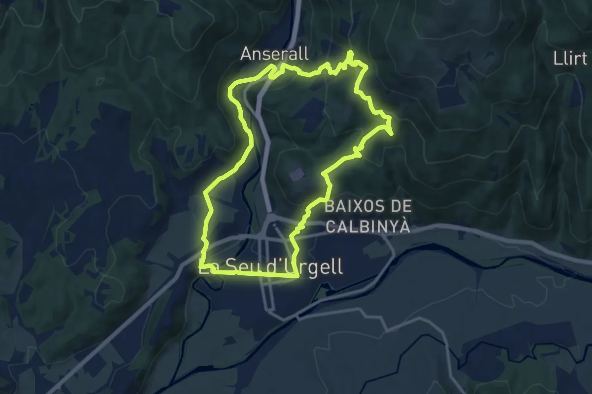
Medium · Trail
PR-C 62 La Seu d'Urgell - Calbinyà
9.7 km · ↑ 413 m · 3 h 20 min · 2 km away
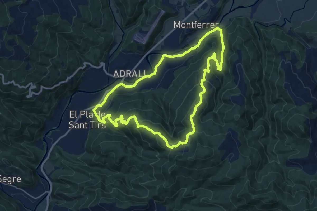
Medium · Trail
Camí Natural de les Mines de la Ribera de l'Urgellet
17.4 km · ↑ 647 m · 5 h 45 min · 4 km away
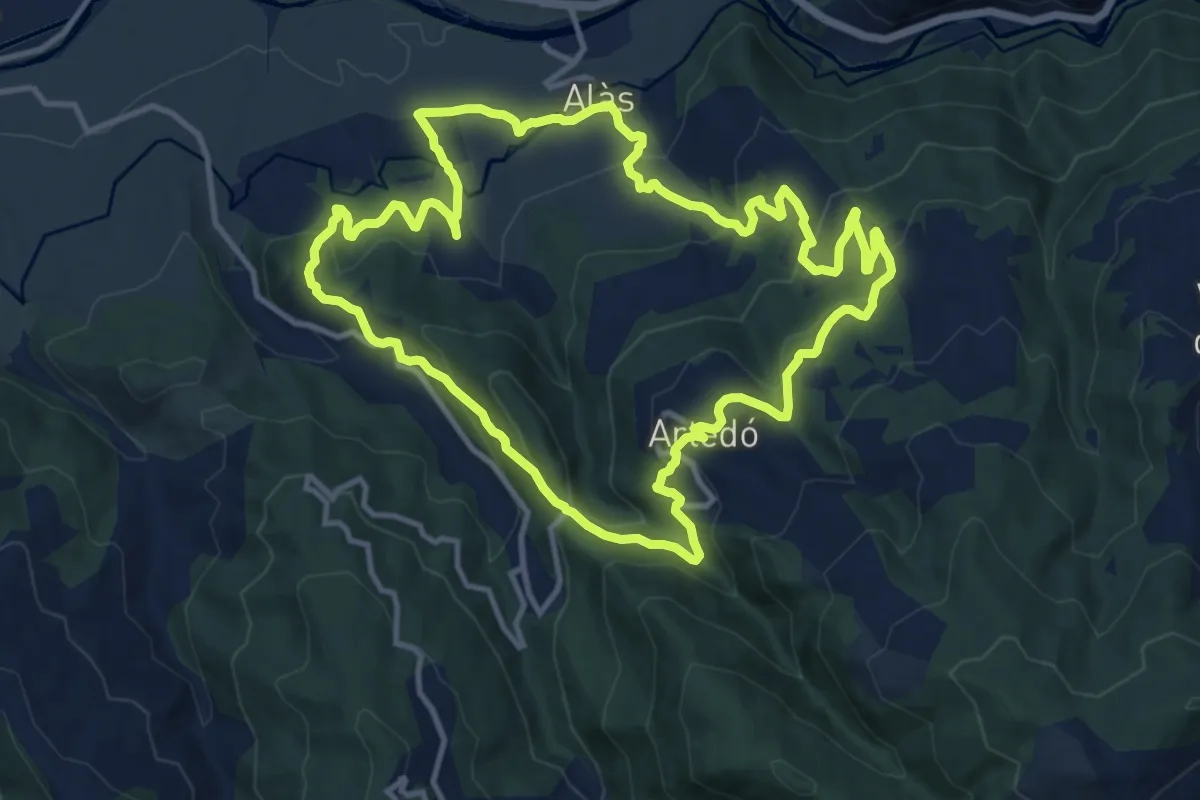
Medium · Trail
Sender d'Alàs
13.2 km · ↑ 553 m · 4 h 31 min · 4 km away
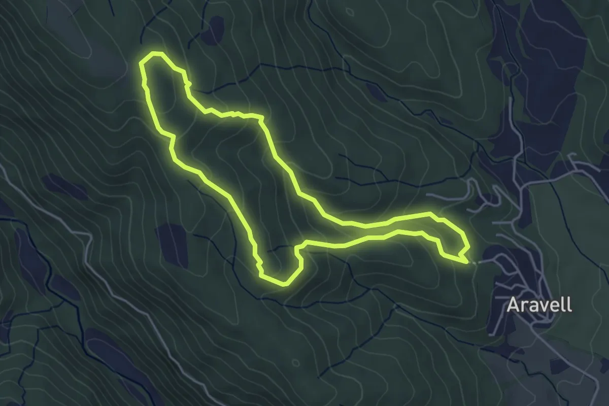
Easy · Trail
Volta a la Serra del Morral
4.5 km · ↑ 232 m · 1 h 37 min · 6 km away
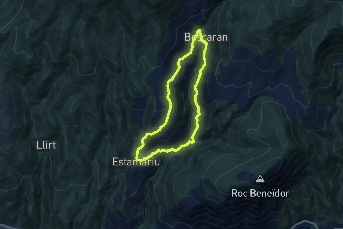
Medium · Trail
D'Estamariu a Bescaran
8.7 km · ↑ 478 m · 3 h 12 min · 7 km away
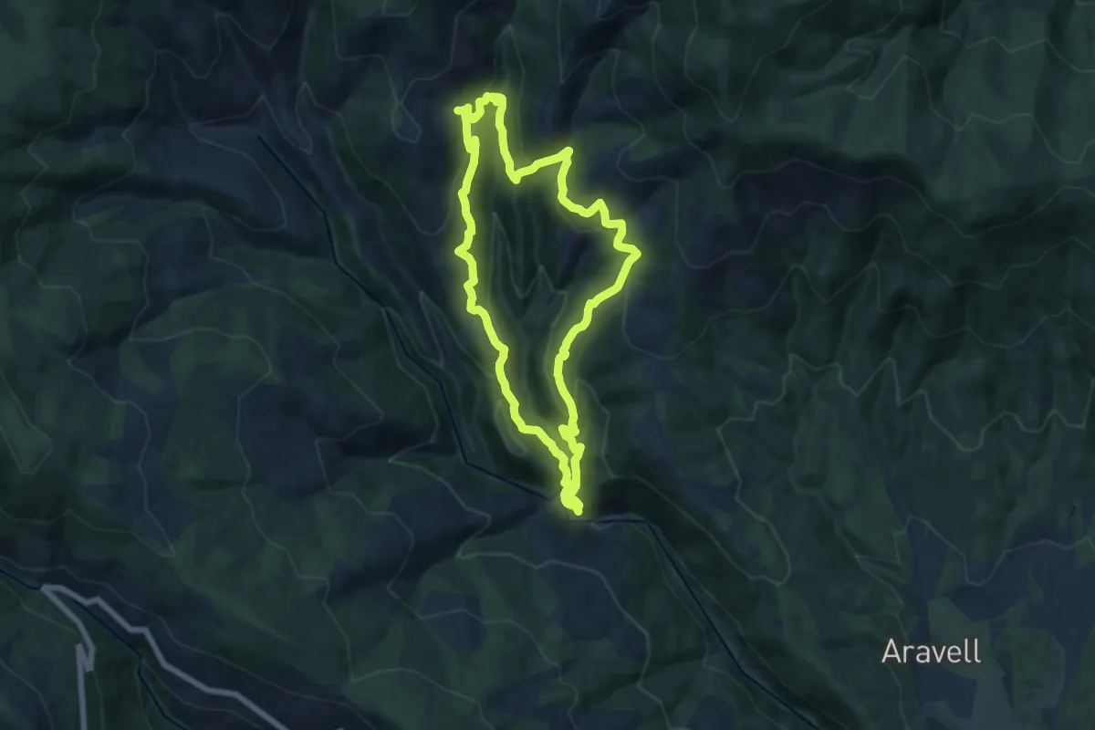
Medium · Trail
Castellbò-Sendes-Solanell
14.0 km · ↑ 739 m · 5 h 6 min · 8 km away
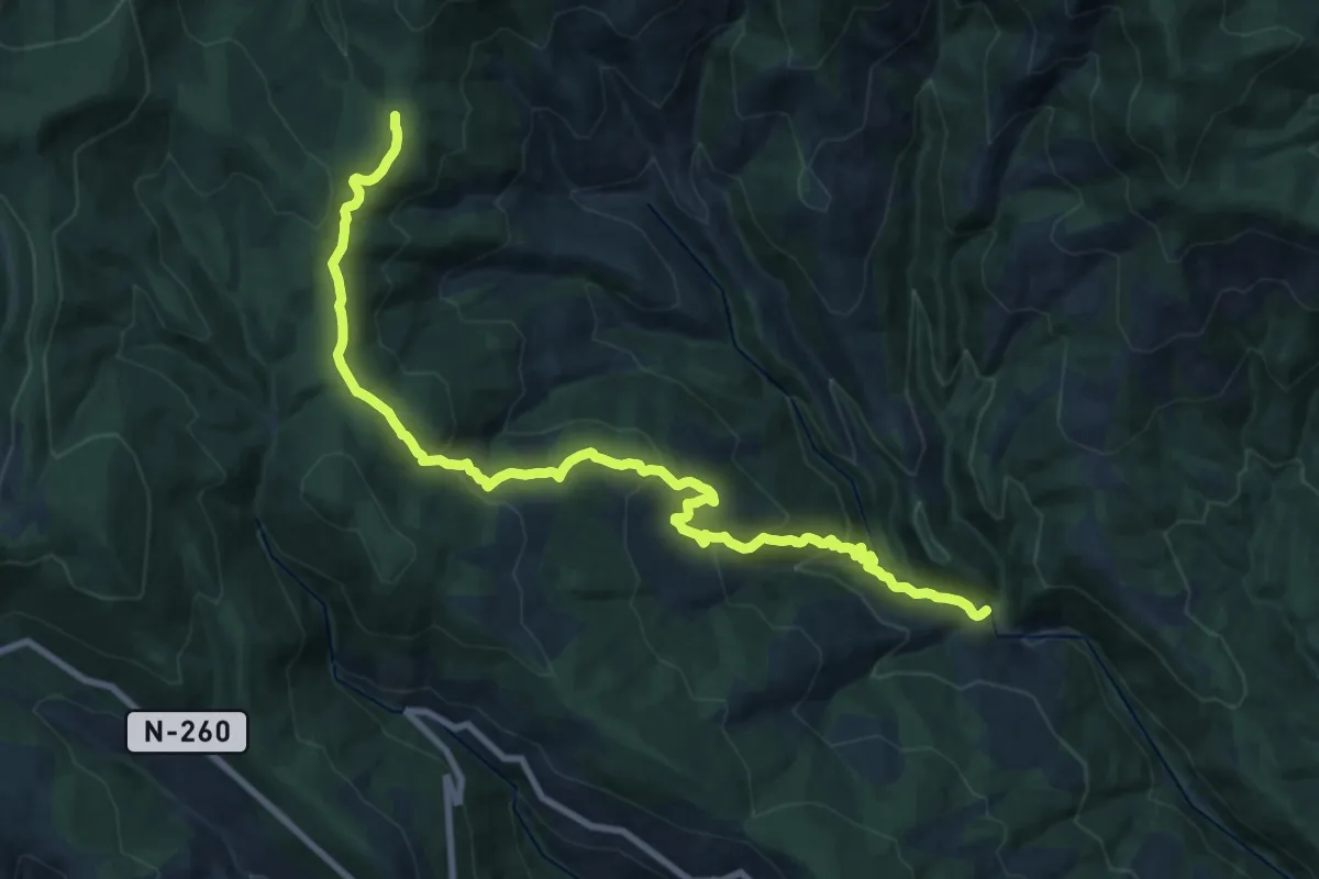
Demanding · Cabin
GR 3 Sender Central de Catalunya - Etapa 18
11.9 km · ↑ 1028 m · 4 h 45 min · 8 km away
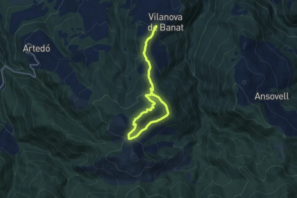
Medium · Summit
Turó Galliner
7.7 km · ↑ 326 m · 2 h 37 min · 9 km away
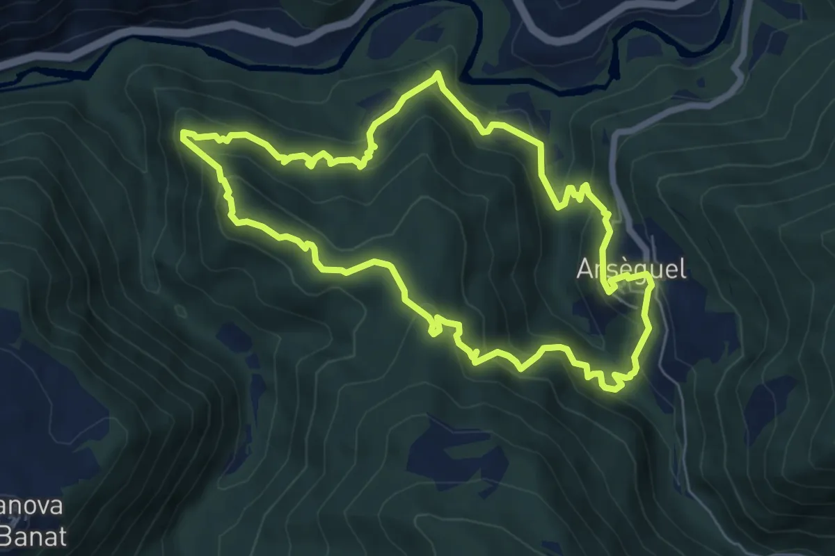
Medium · Trail
Muntanya del Coll
6.6 km · ↑ 439 m · 2 h 37 min · 10 km away
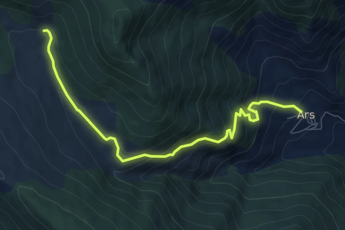
Medium · Cabin
Ars-Refugi Ras de Conques
8.0 km · ↑ 656 m · 3 h 18 min · 11 km away
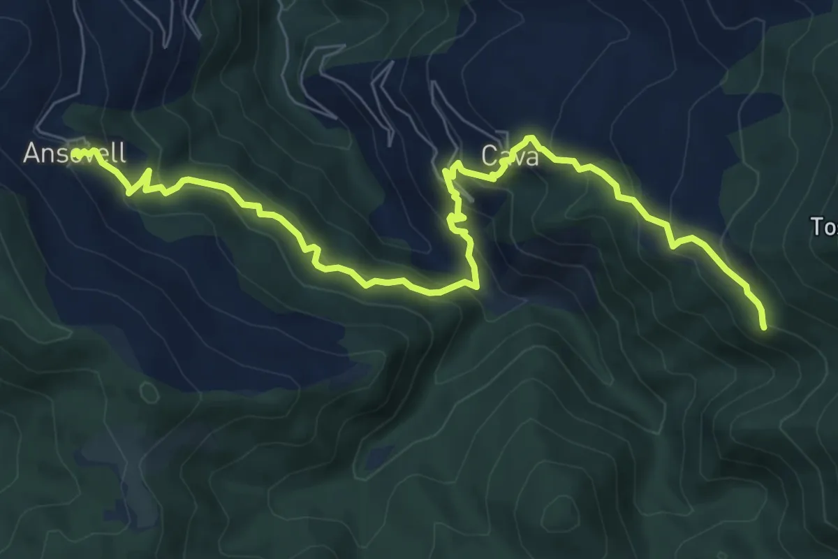
Medium · Summit
GR 3 Sender Central de Catalunya - Etapa 21
9.6 km · ↑ 730 m · 3 h 51 min · 11 km away
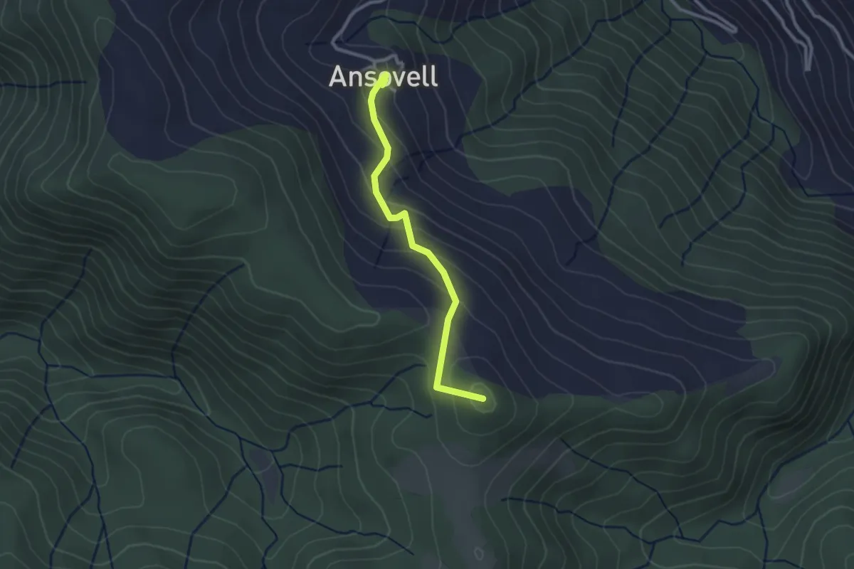
Easy · Summit
Camí de Boscalt
2.7 km · ↑ 147 m · 57 min · 11 km away
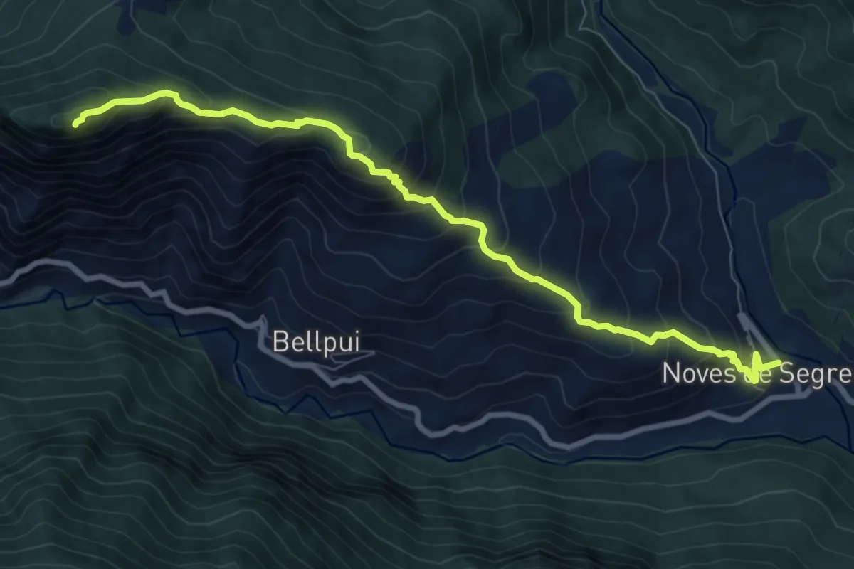
Demanding · Summit
Vertical de Sant Quiri
9.1 km · ↑ 877 m · 4 h 3 min · 12 km away
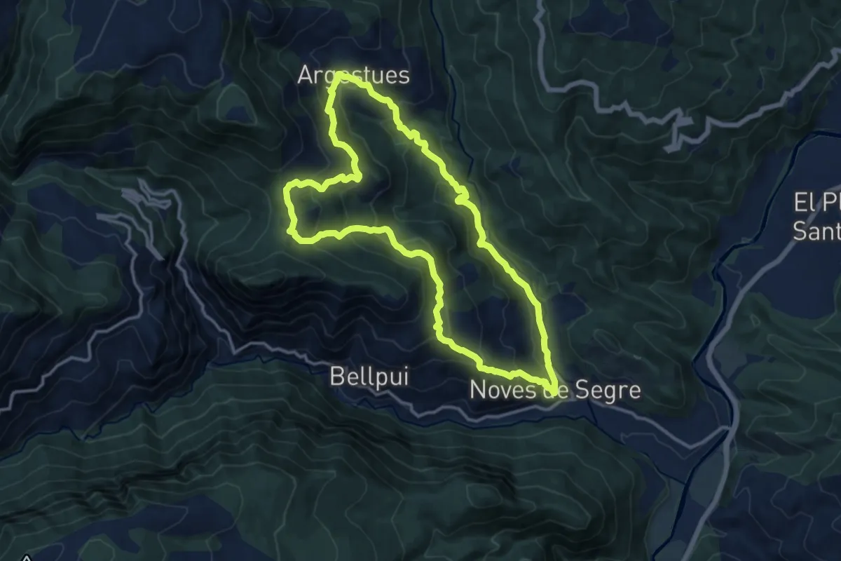
Demanding · Summit
Noves de Segre-Arguestues-Plaça de Sant Quiri
13.0 km · ↑ 841 m · 5 h 4 min · 12 km away
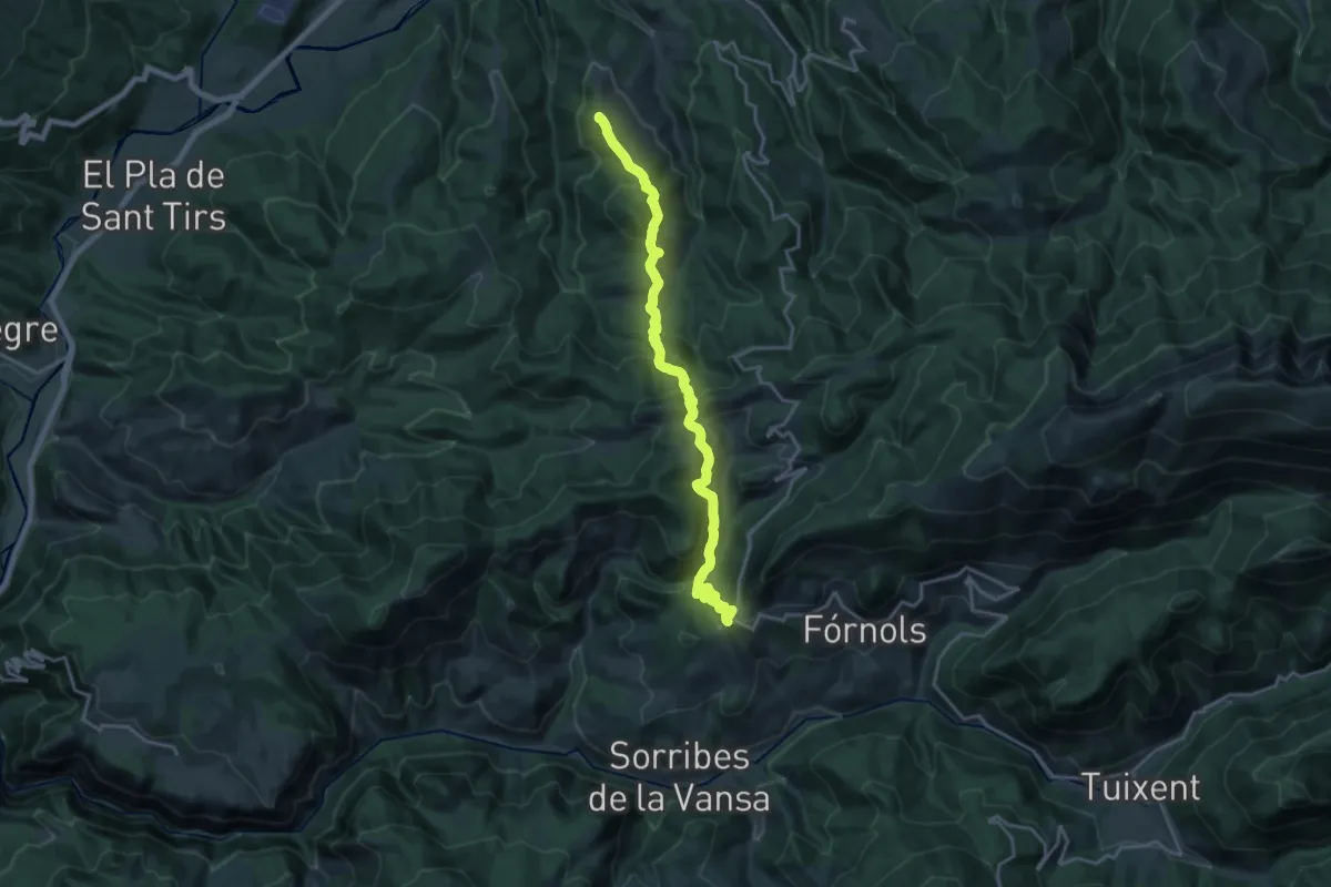
Demanding · Summit
GR 7 Catalunya - Etapa 02
21.1 km · ↑ 1009 m · 7 h 10 min · 12 km away
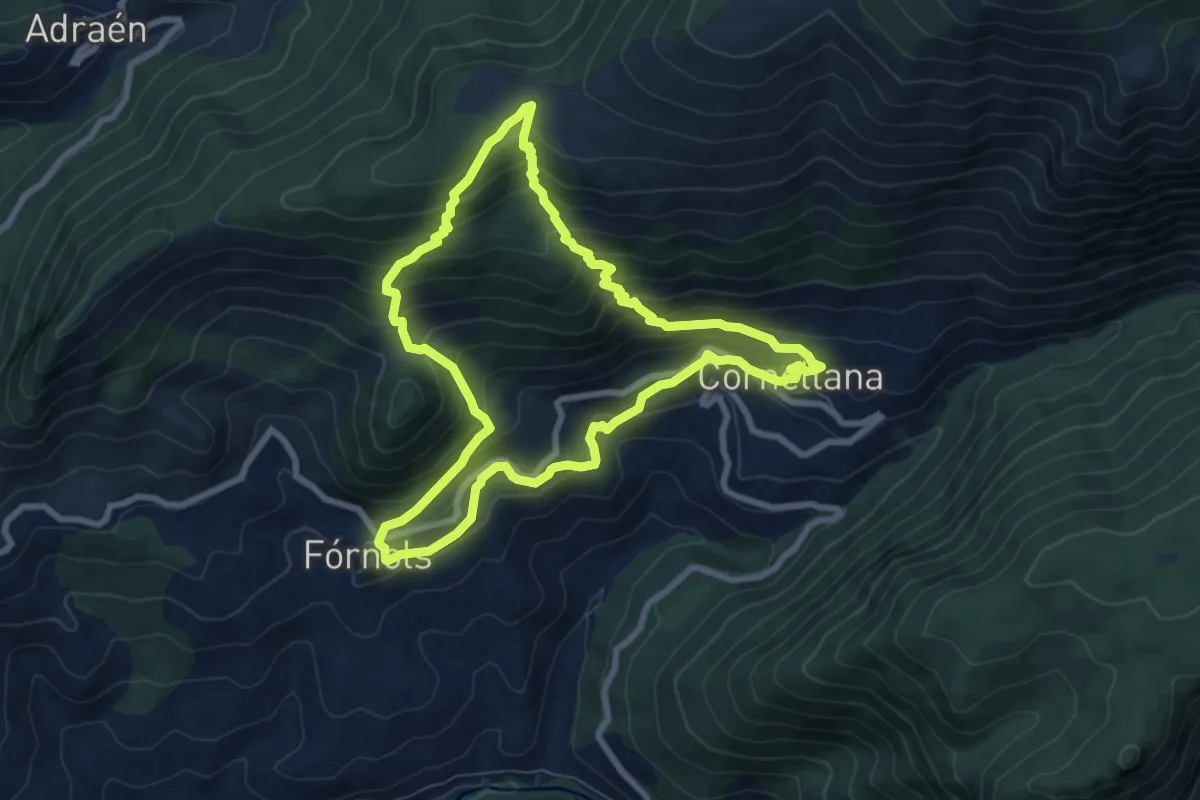
Medium · Trail
Cornellana
8.1 km · ↑ 639 m · 3 h 25 min · 13 km away
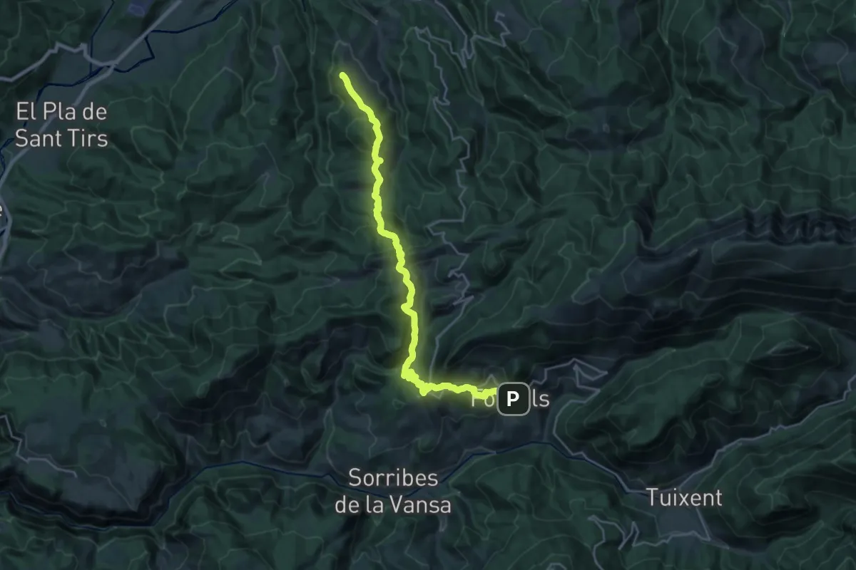
Demanding · Summit
Senders del 1714 - Etapa 13
26.6 km · ↑ 1254 m · 8 h 59 min · 13 km away
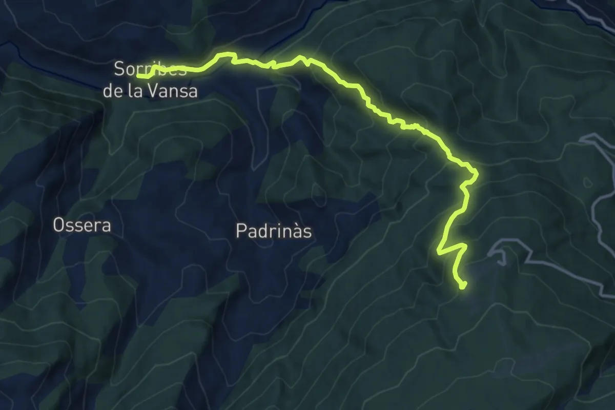
Demanding · Cabin
Vertical Arp
13.5 km · ↑ 1122 m · 5 h 37 min · 14 km away