Trails near La Zubia
38 hikes starting within 15 km, nearest first.
Nearest first
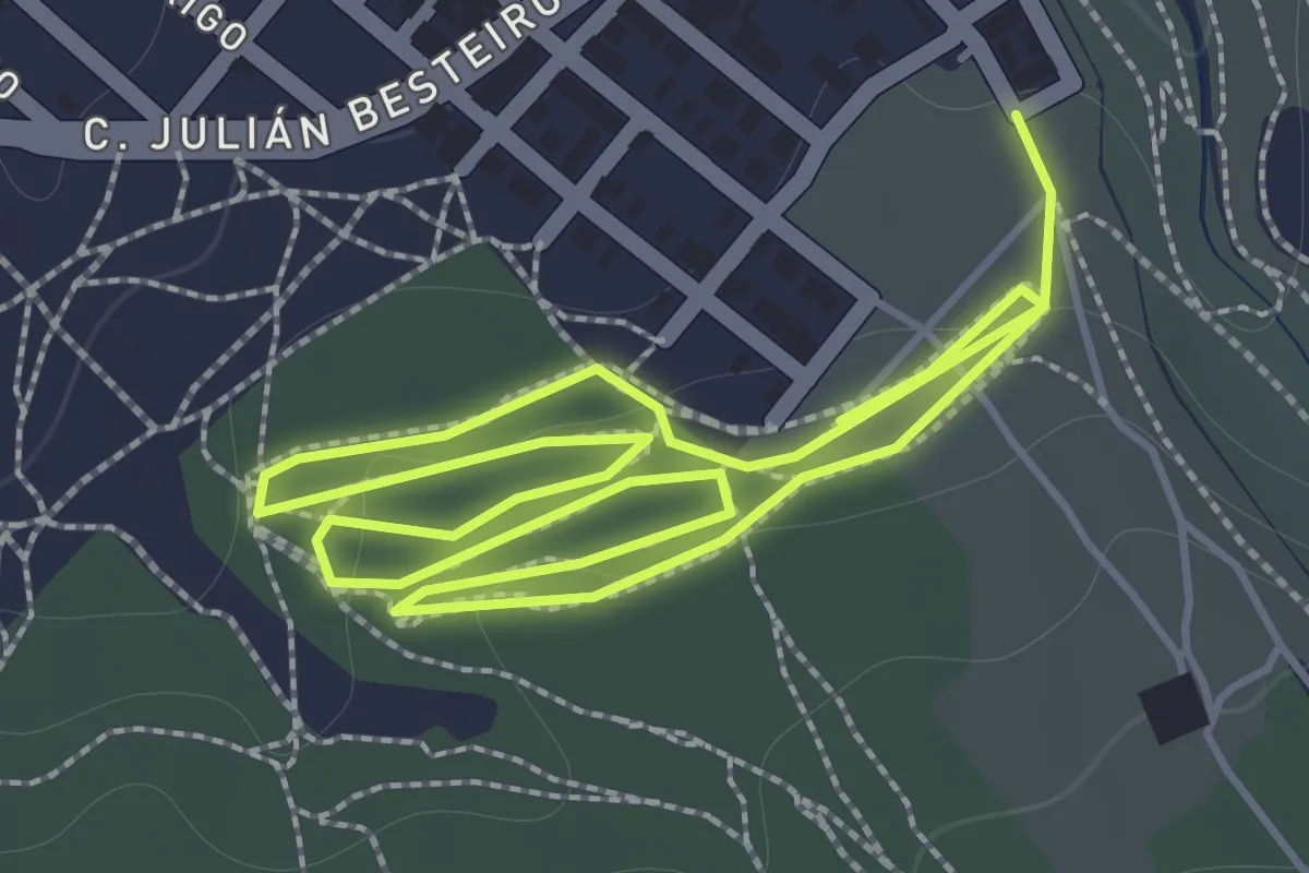
Easy · Trail
SL-A 324 Cantina de Rute
2.0 km · ↑ 34 m · 34 min · 1 km away
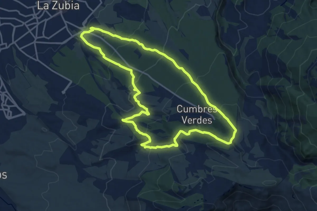
Medium · Summit
Pinares de la Zubia
12.8 km · ↑ 559 m · 4 h 25 min · 1 km away
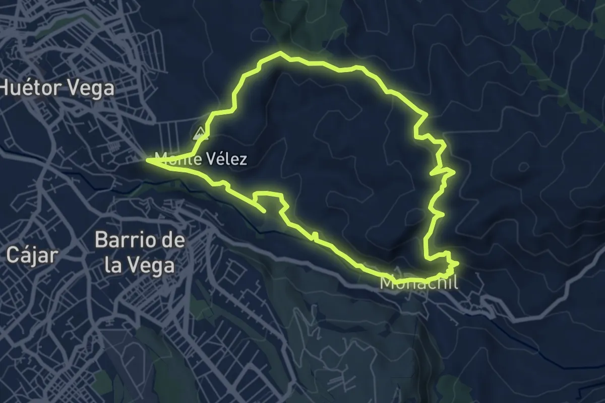
Easy · Summit
Sendero de San Antón
7.6 km · ↑ 306 m · 2 h 35 min · 3 km away
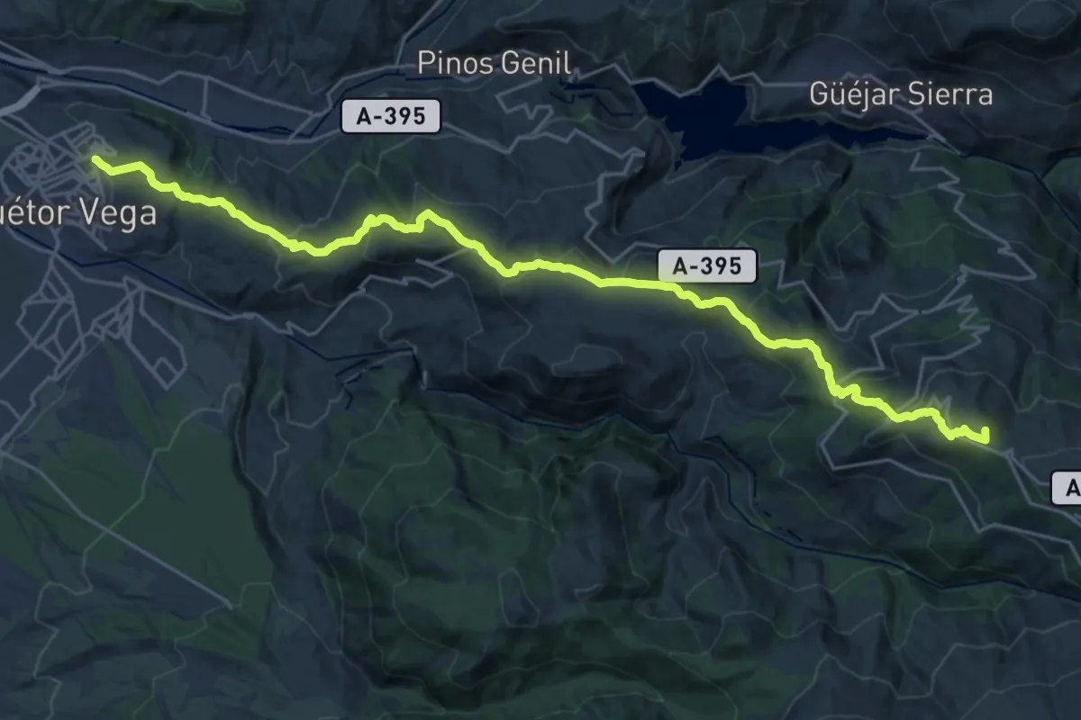
Demanding · Summit
Cañada Real de los Neveros
31.3 km · ↑ 1616 m · 10 h 53 min · 4 km away
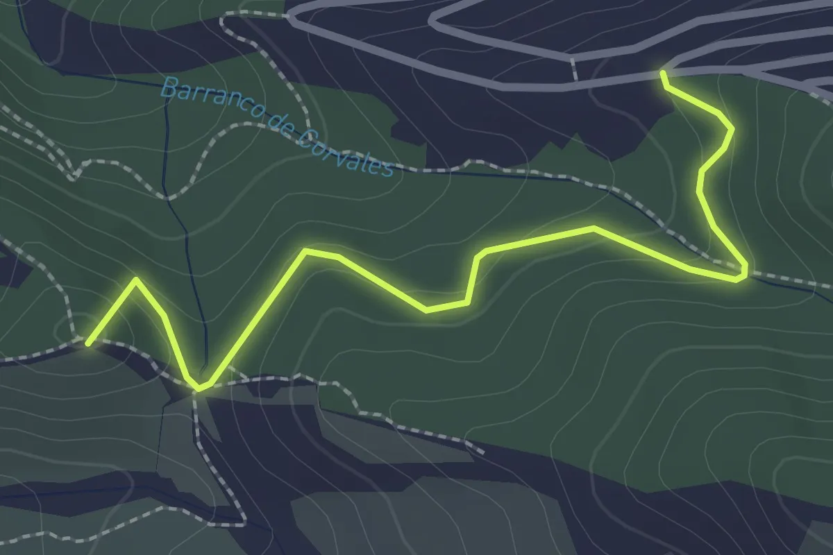
Easy · Summit
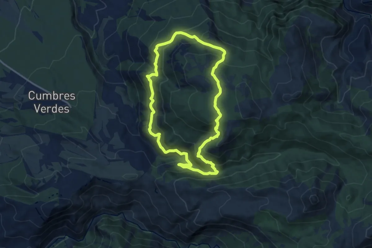
Sendero La Zubia - Cumbres Verdes
2.9 km · ↑ 132 m · 59 min · 4 km away
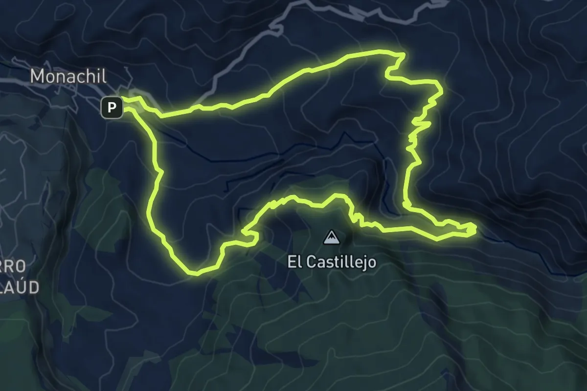
Medium · Trail
Circular de los Cahorros
9.9 km · ↑ 530 m · 3 h 37 min · 4 km away
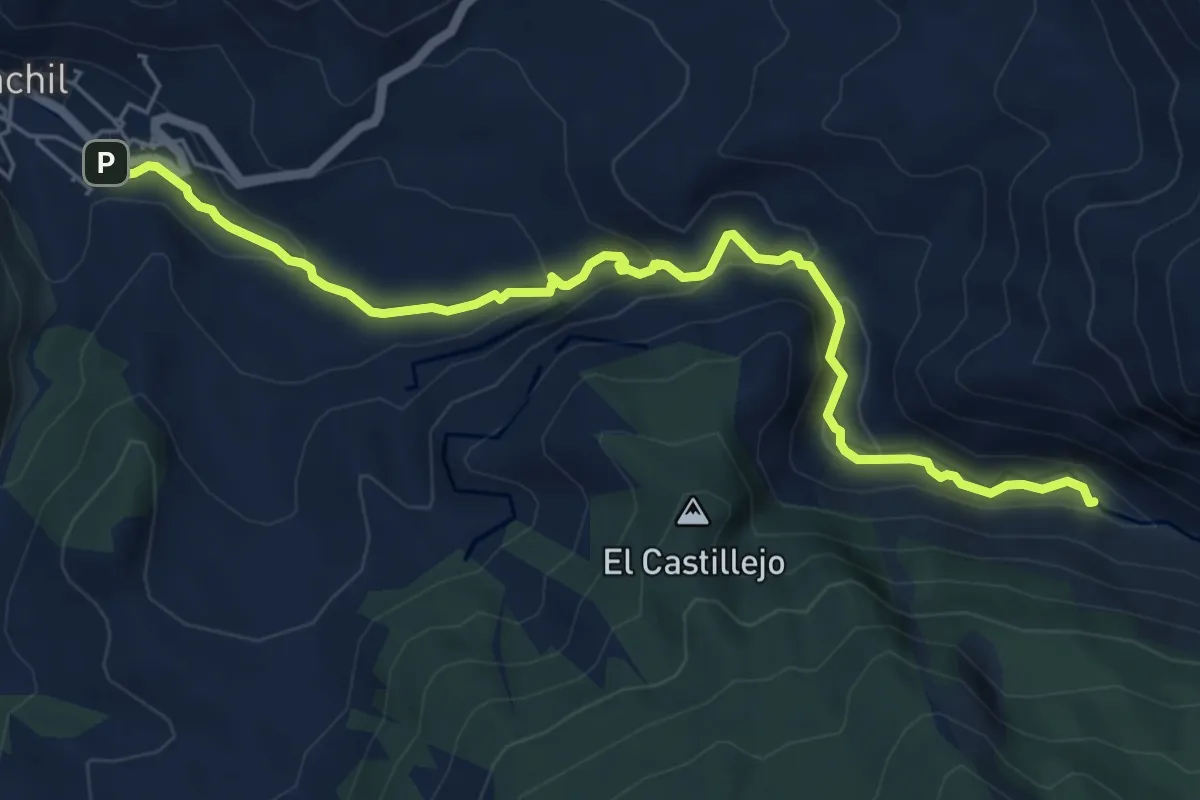
Easy · Trail
Sendero del Río Monachil
7.5 km · ↑ 293 m · 2 h 24 min · 4 km away
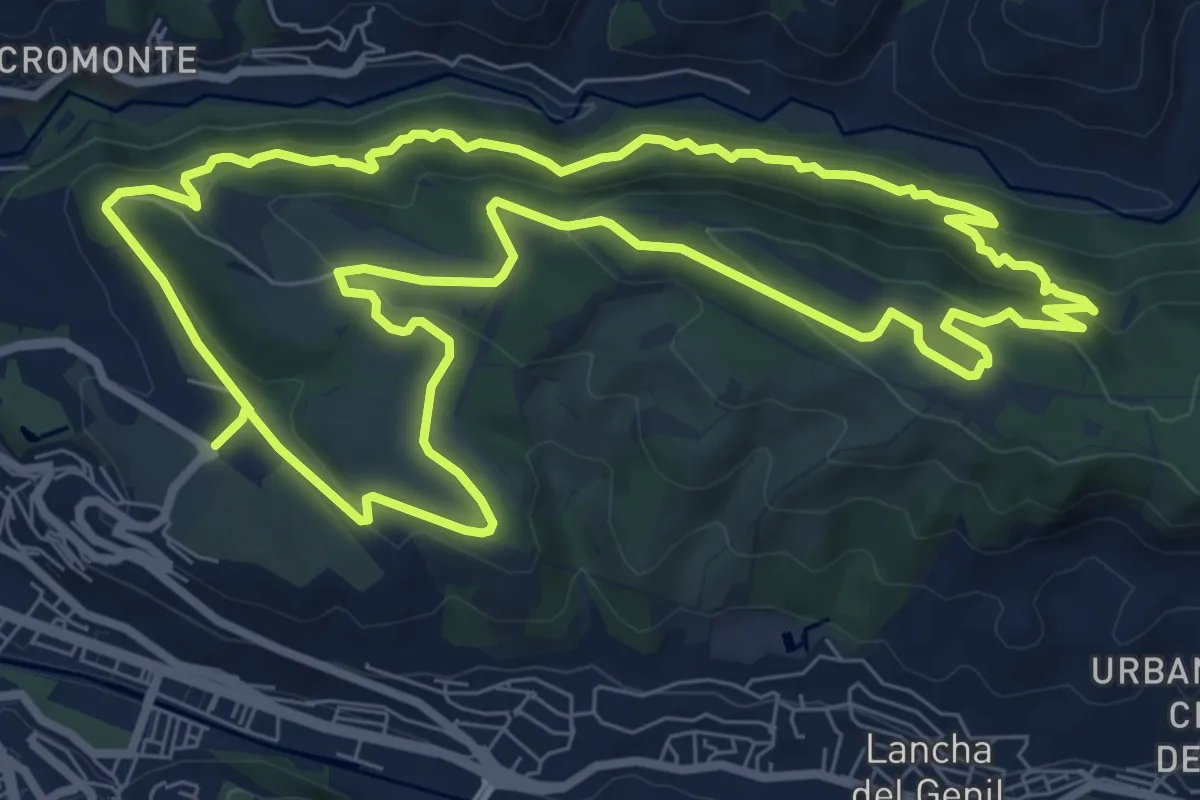
Medium · Trail
Dehesa del Generalife
10.2 km · ↑ 449 m · 3 h 31 min · 6 km away
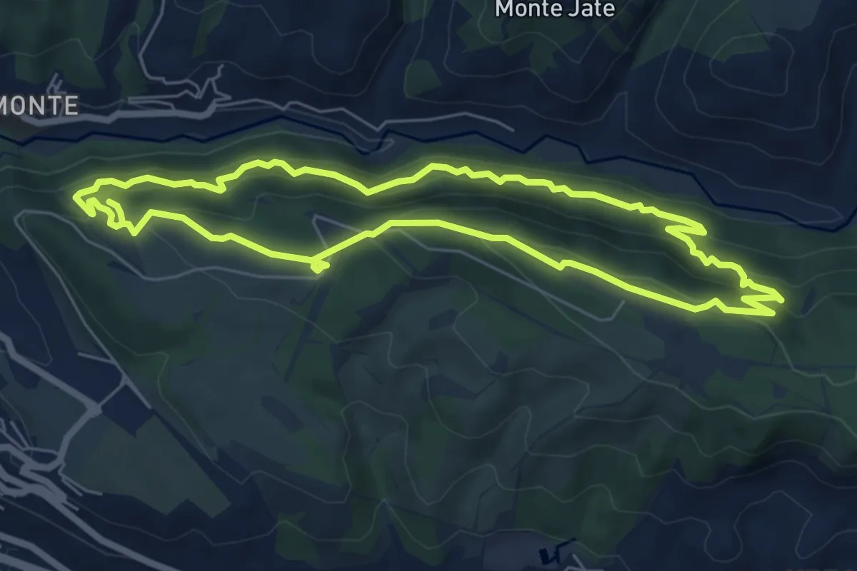
Medium · Trail
Acequia Real - Dehesa del Generalife
7.0 km · ↑ 486 m · 2 h 47 min · 6 km away
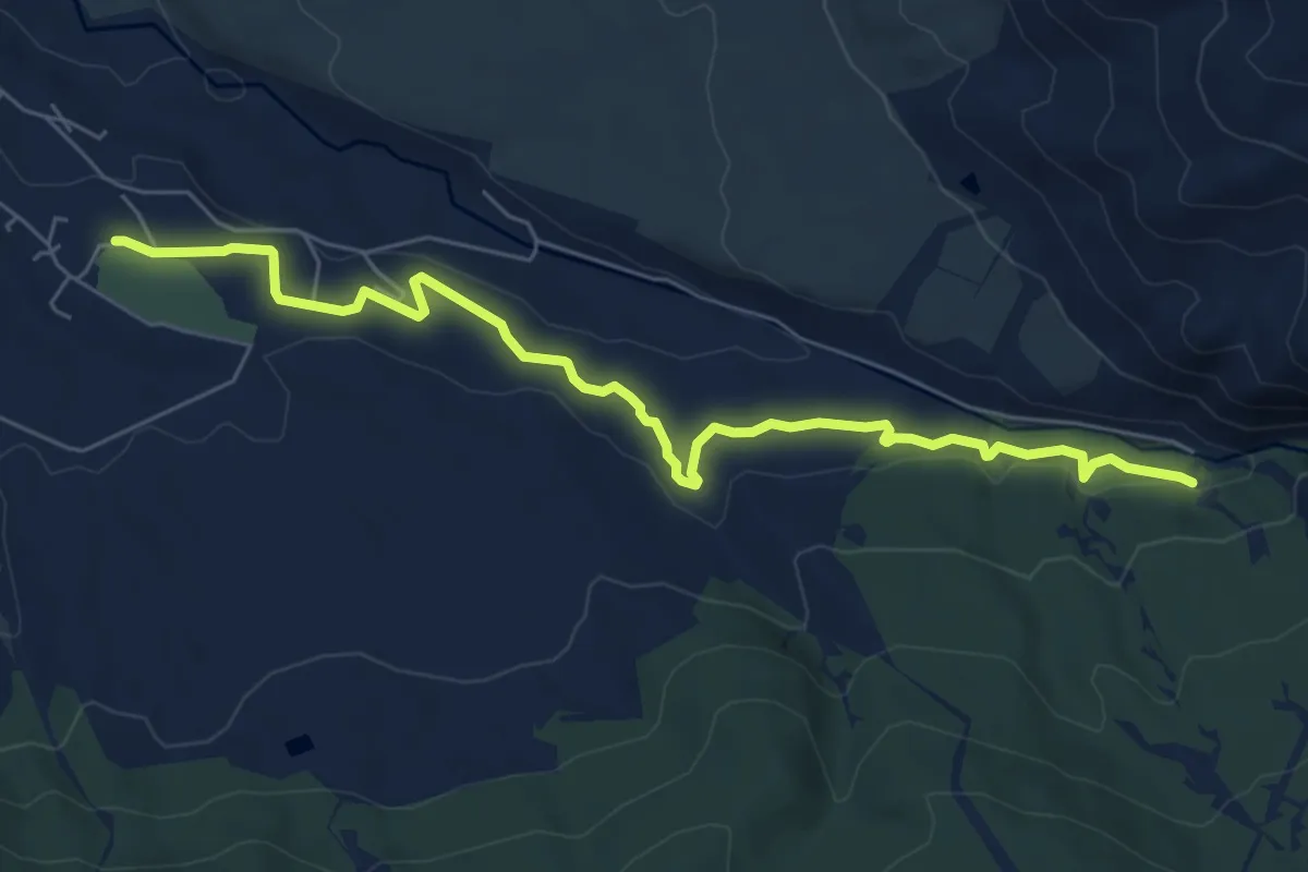
Medium · Trail
Acequia Alta de Dílar
8.3 km · ↑ 130 m · 2 h 14 min · 7 km away
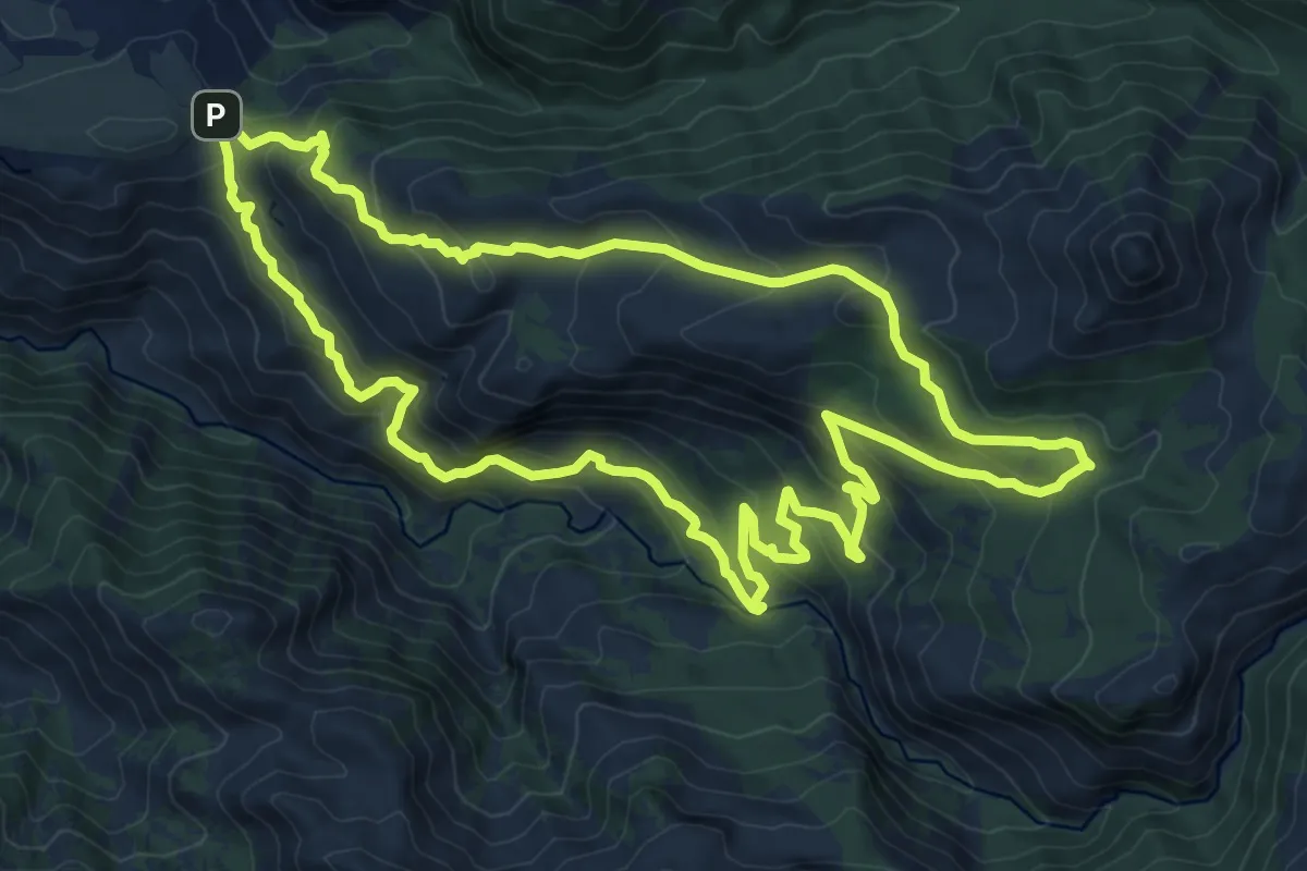
Medium · Trail
Canal de la Espartera - Arenales del Trevenque
12.2 km · ↑ 651 m · 4 h 27 min · 7 km away
Medium · Trail
Cerro Huenes
10.4 km · ↑ 711 m · 4 h 8 min · 8 km away
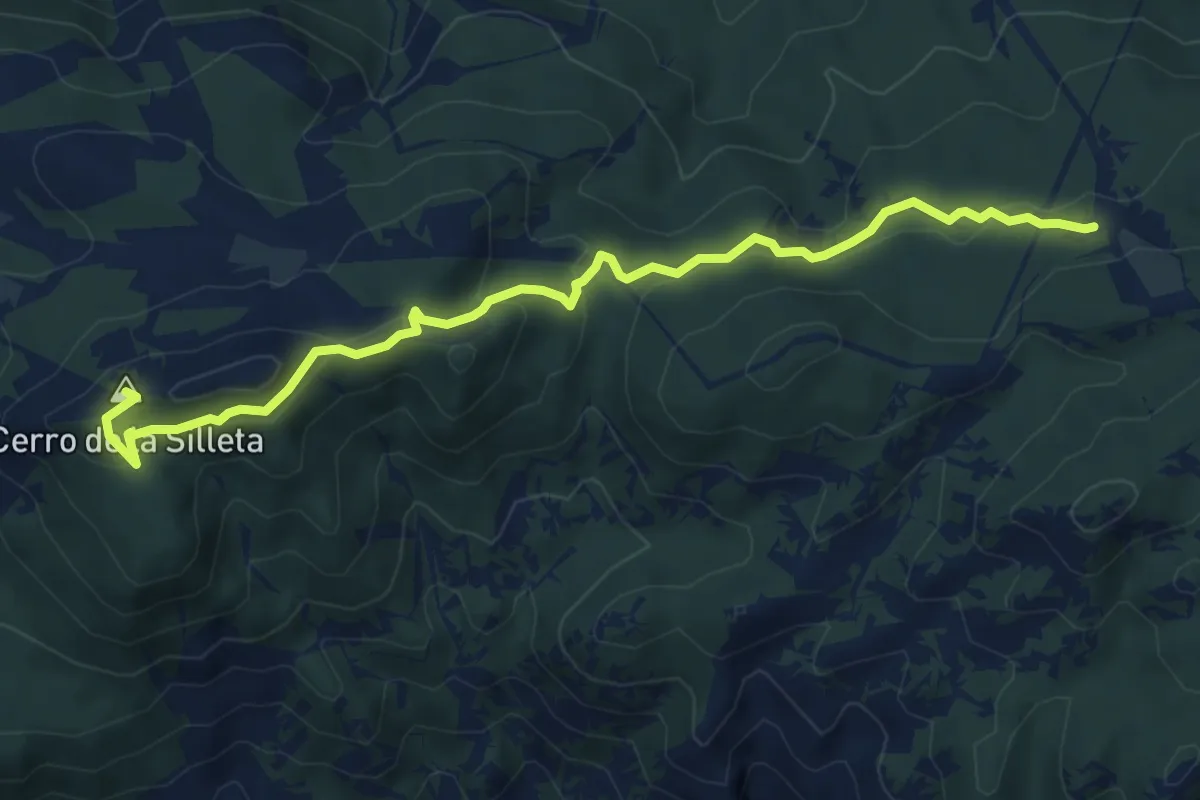
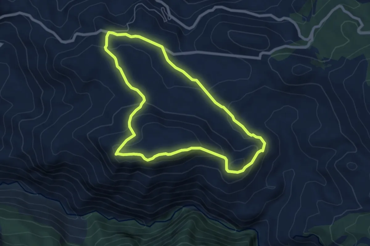
Medium · Summit
La Silleta del Padul
8.2 km · ↑ 305 m · 2 h 36 min · 9 km away
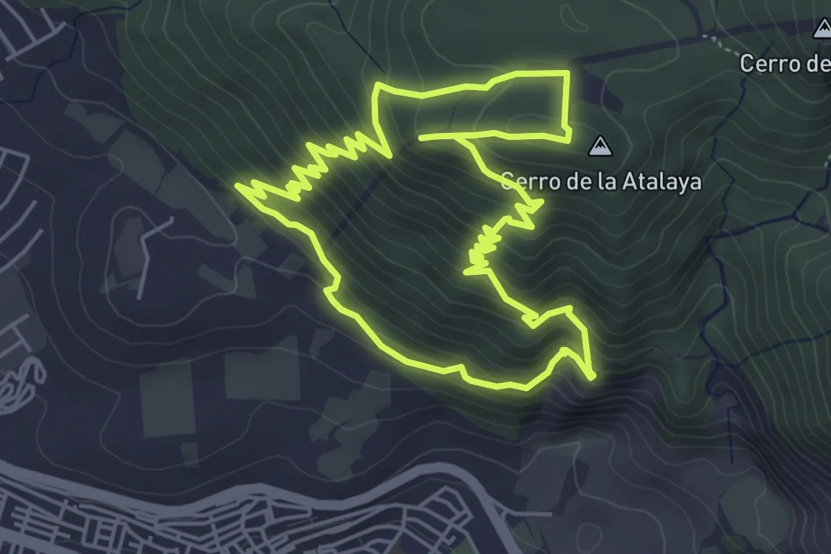
Medium · Summit
El Cerrajón
6.3 km · ↑ 251 m · 2 h 7 min · 9 km away
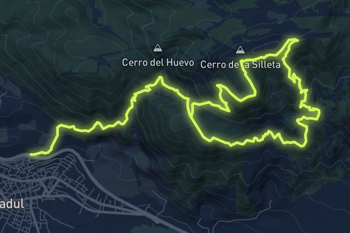
Medium · Summit
Circular de la Atalaya (Padre Ferrer)
5.8 km · ↑ 433 m · 2 h 24 min · 10 km away
Demanding · Summit
Los Gudaris
10.7 km · ↑ 1023 m · 4 h 41 min · 11 km away
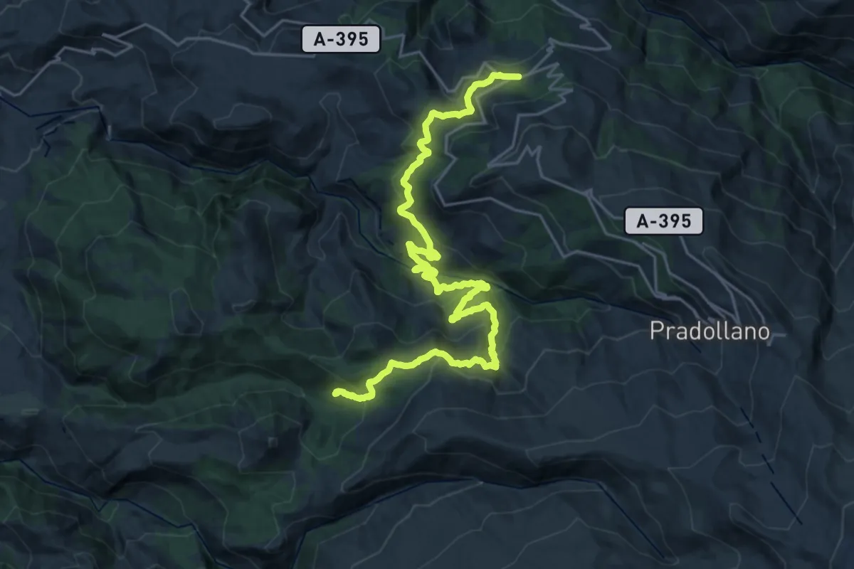
Medium · Trail
Centro de visitantes "El Dornajo" – Casa forestal "La Cortijuela"
15.0 km · ↑ 720 m · 5 h 19 min · 11 km away
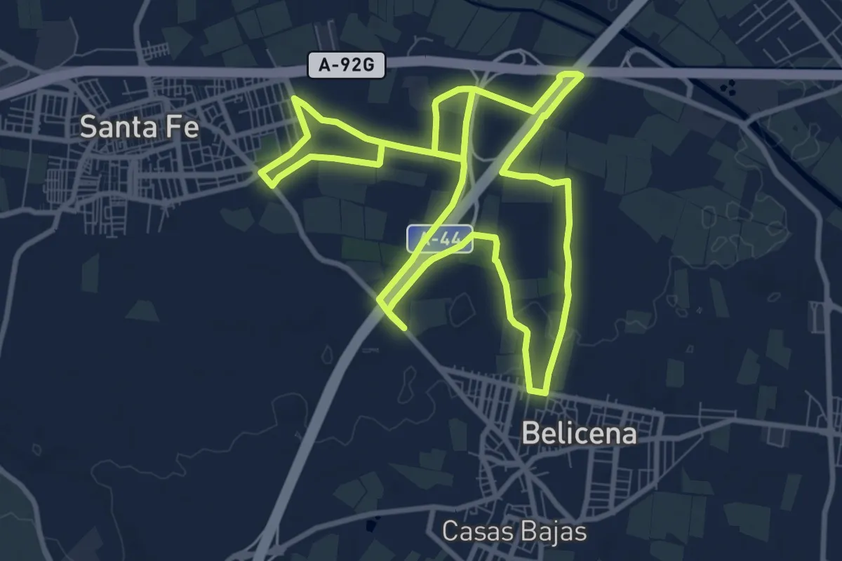
Medium · Trail
Camino de San Juan
10.4 km · ↑ 16 m · 2 h 38 min · 13 km away
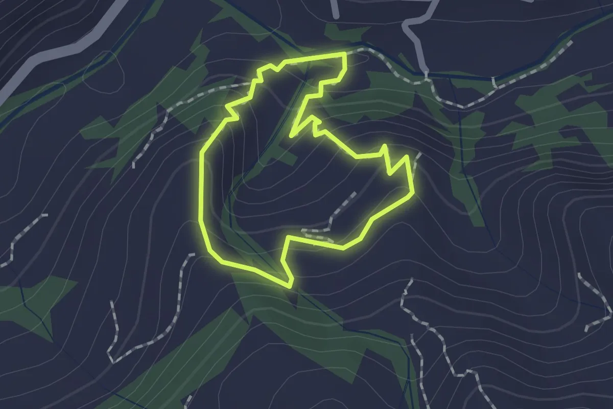
Easy · Trail
Quéntar - Cuesta Lolo - Cerrillo - Quéntar
1.5 km · ↑ 96 m · 34 min · 13 km away
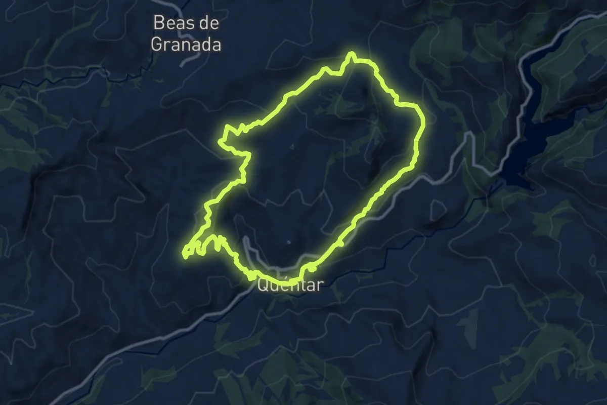
Medium · Summit
Quéntar - Fiñana - Álamo - Quéntar
11.3 km · ↑ 515 m · 3 h 57 min · 13 km away
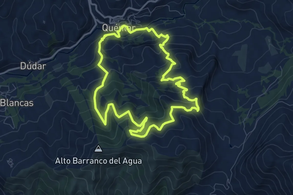
Medium · Trail
Quéntar - Muñoces - Quéntar
9.7 km · ↑ 624 m · 3 h 47 min · 13 km away
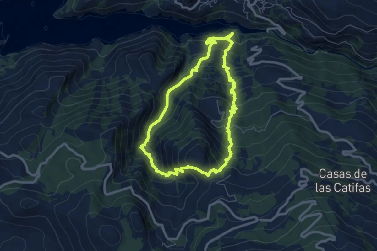
Demanding · Summit
Sendero "Paso de los Viajeros Románticos"
6.5 km · ↑ 632 m · 2 h 59 min · 13 km away
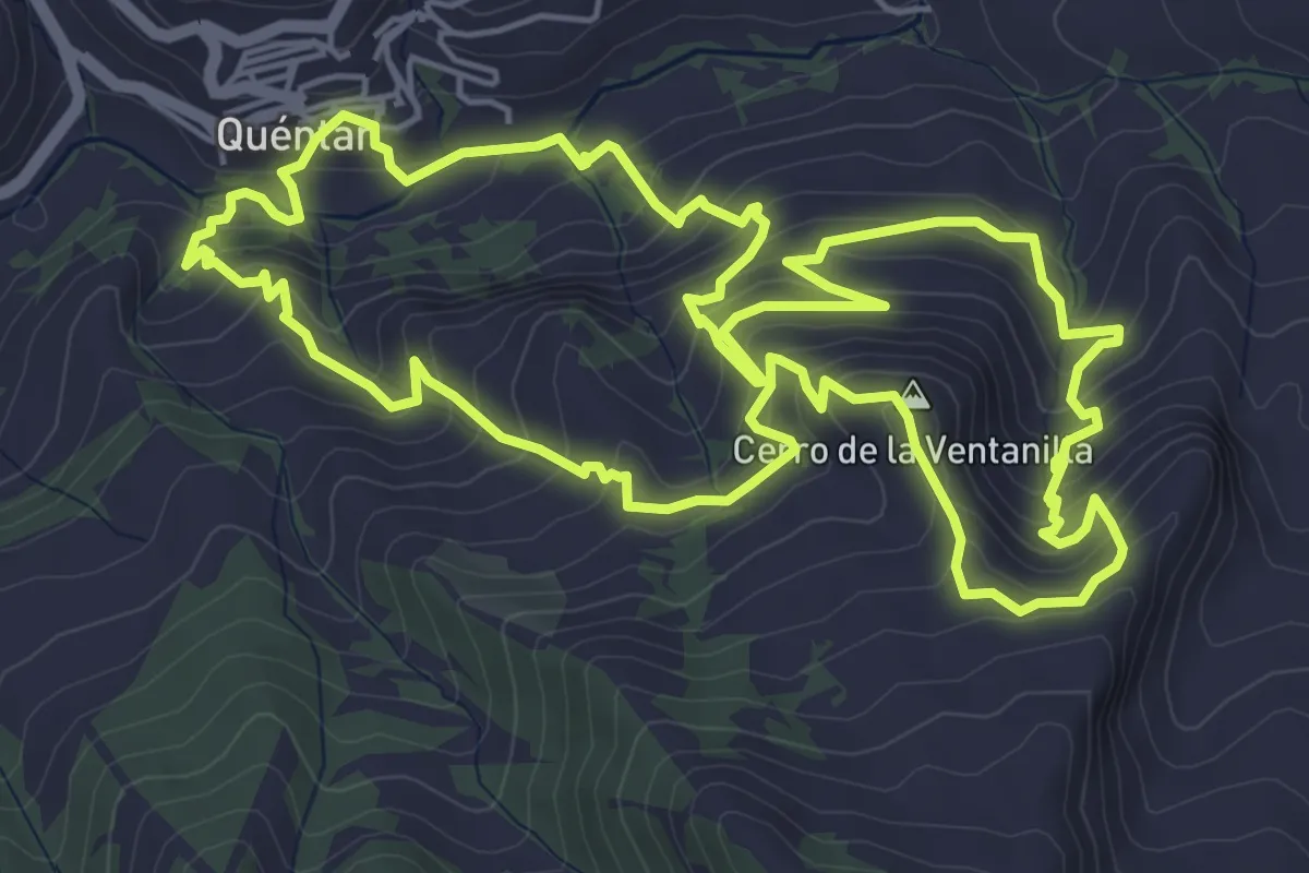
Medium · Summit
Quéntar - Queso - Quéntar
7.3 km · ↑ 535 m · 2 h 58 min · 13 km away
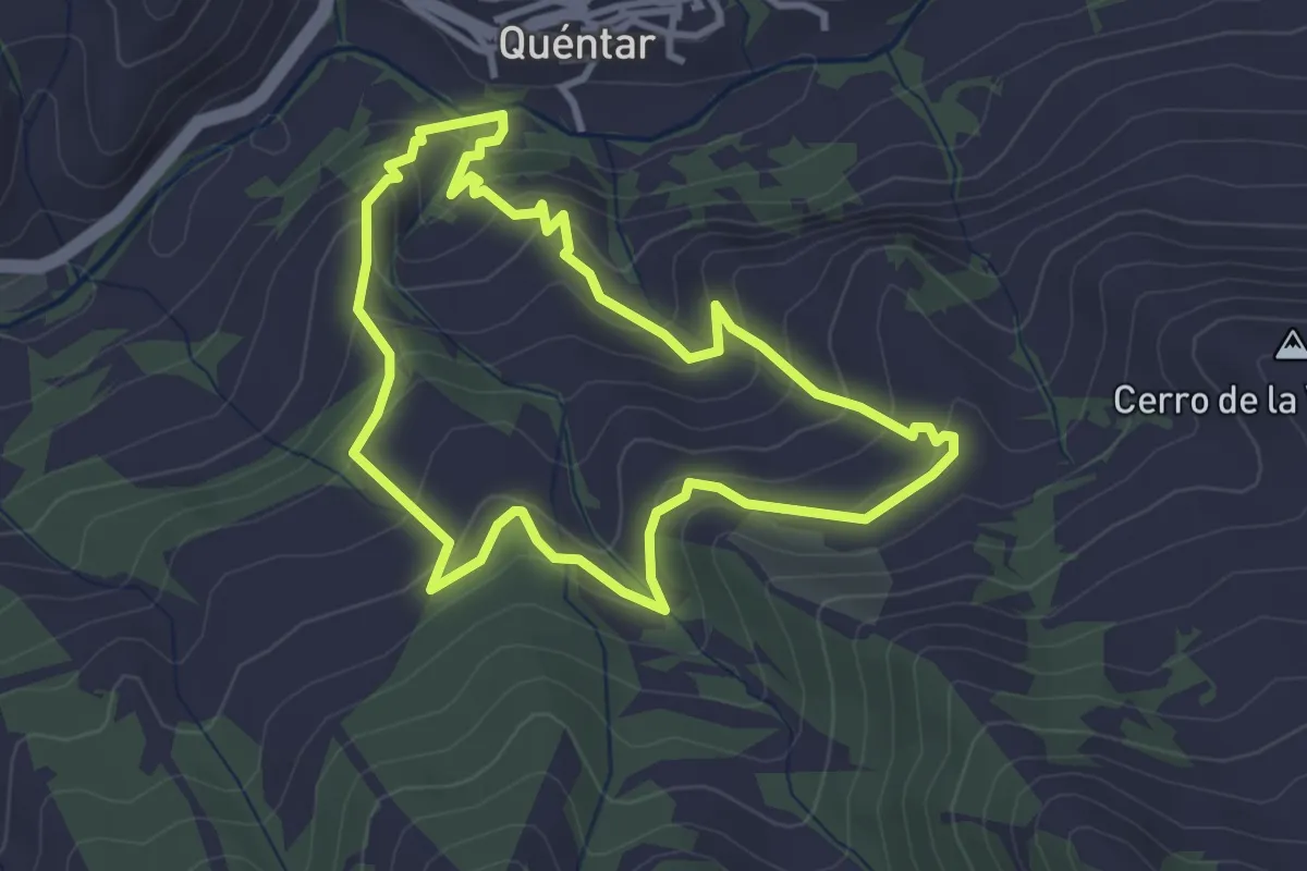
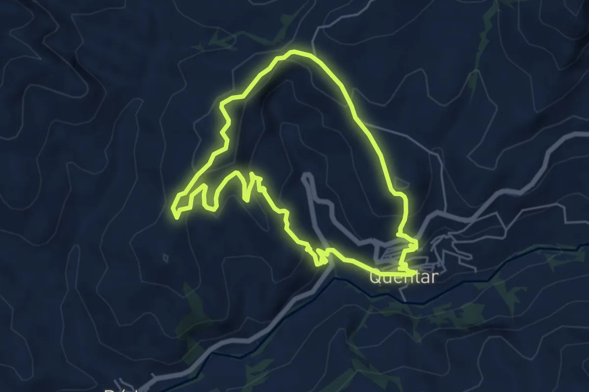
Easy · Trail
Quéntar - Cuesta el Majano - Quéntar
3.6 km · ↑ 238 m · 1 h 25 min · 13 km away
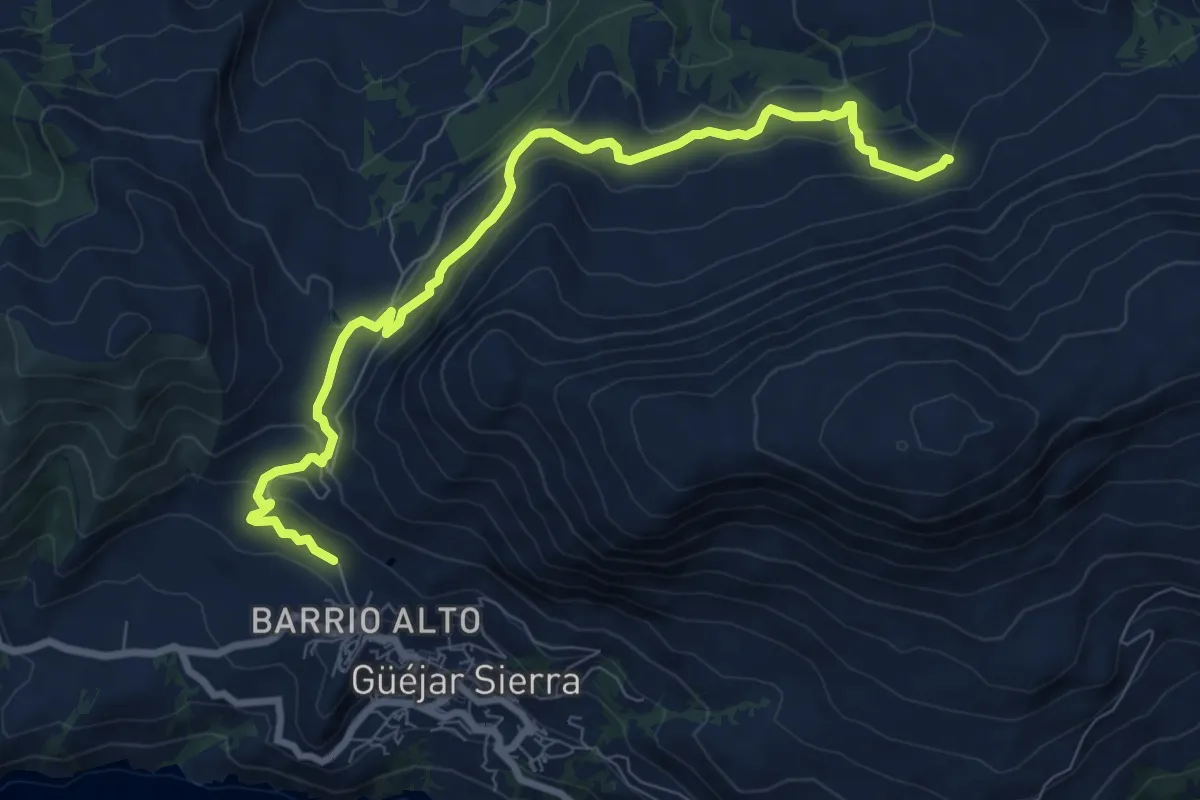
Easy · Trail
Quéntar - Solana - Quéntar
5.5 km · ↑ 290 m · 2 h 1 min · 13 km away
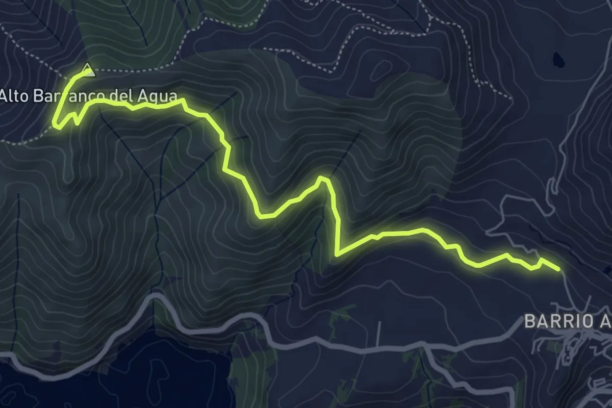
Medium · Trail
Sendero Fuente de los 16 Caños - Alberca de los Acarraderos
10.4 km · ↑ 418 m · 3 h 21 min · 13 km away
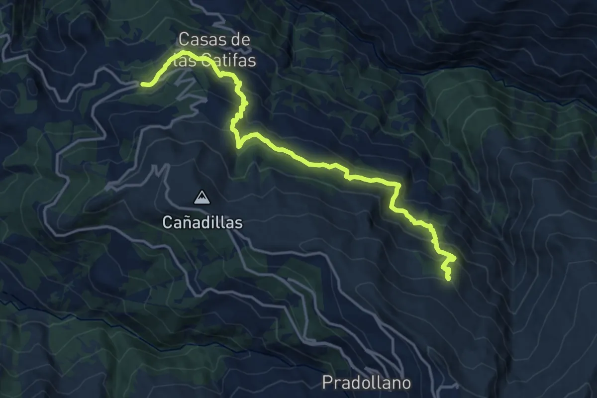
Medium · Summit
Sendero de los Jarales
7.8 km · ↑ 358 m · 2 h 37 min · 13 km away
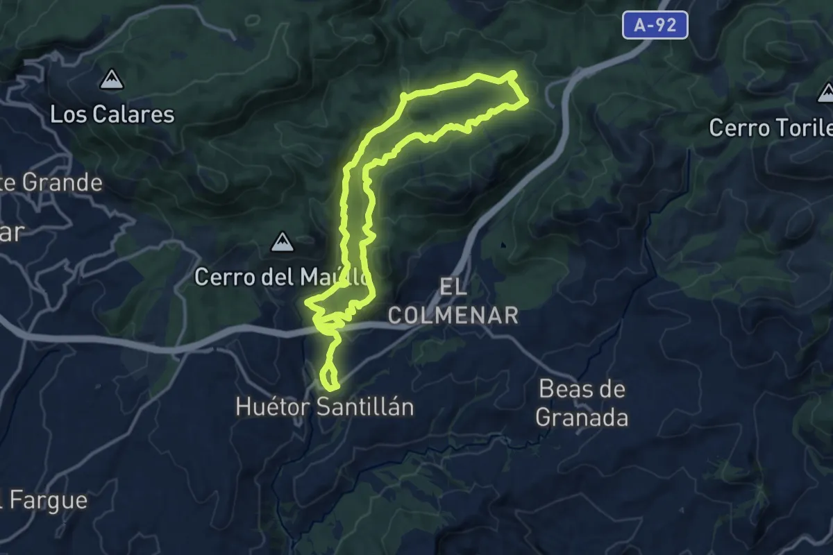
Demanding · Cabin
Campos de Otero
16.1 km · ↑ 977 m · 5 h 54 min · 13 km away
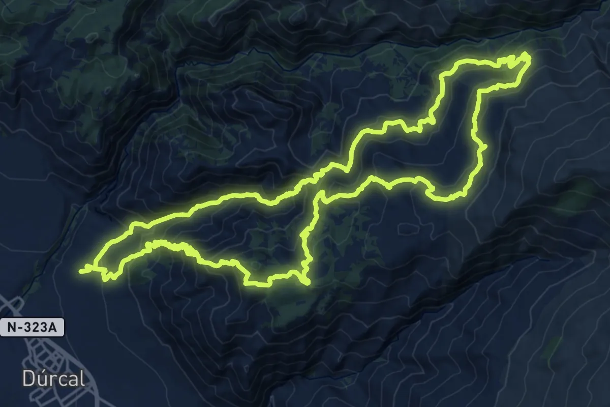
Medium · Trail
Trincheras de los Atajuelos
13.2 km · ↑ 421 m · 4 h 15 min · 13 km away
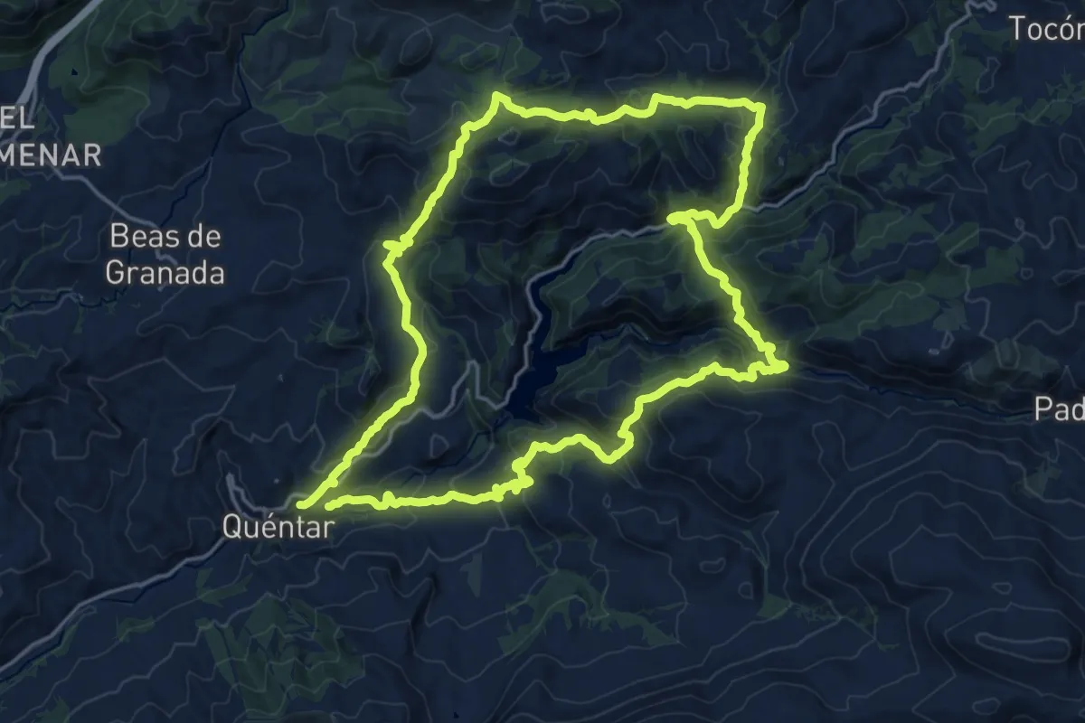
Demanding · Summit
Circular Sierra Dúrcal - La Esperanza
25.7 km · ↑ 1597 m · 9 h 53 min · 14 km away
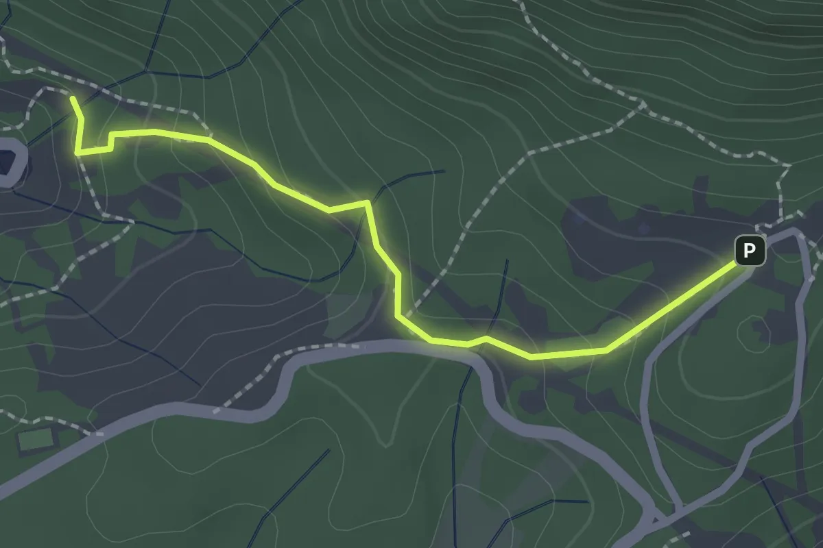
Demanding · Trail
Quéntar - Aguas Blancas - Cuevas - Quéntar
21.5 km · ↑ 1057 m · 7 h 39 min · 14 km away
Easy · Trail
Sendero Barranco de Víznar
2.4 km · ↑ 144 m · 52 min · 14 km away
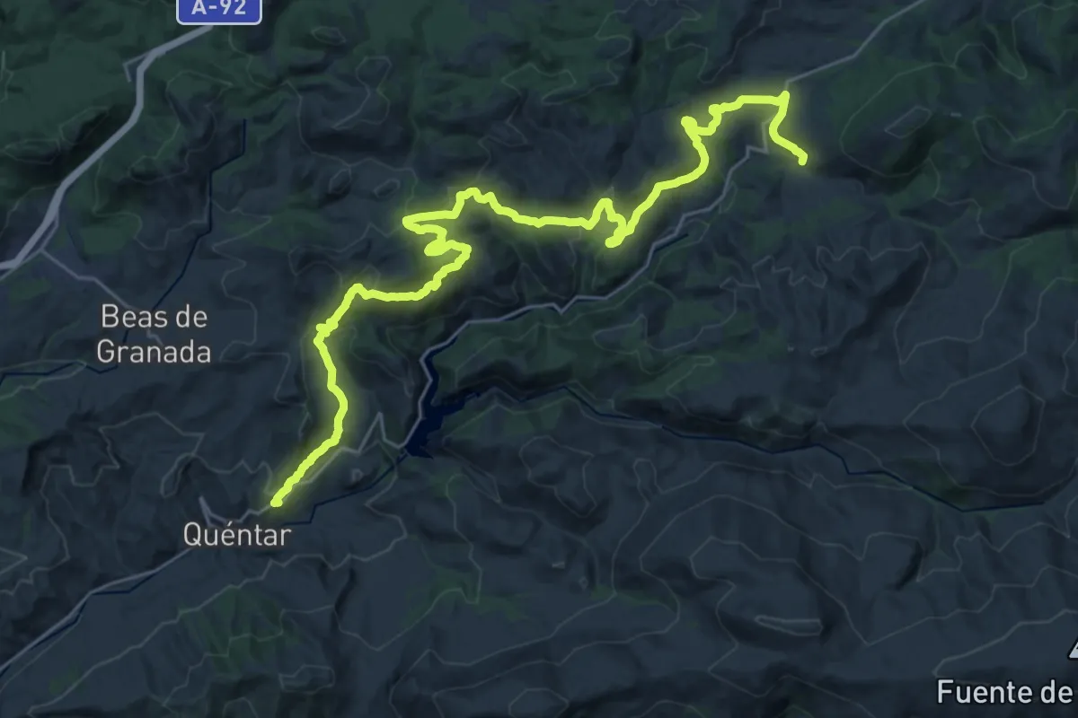
Demanding · Trail
Quéntar - Tocón
18.9 km · ↑ 734 m · 6 h 11 min · 14 km away
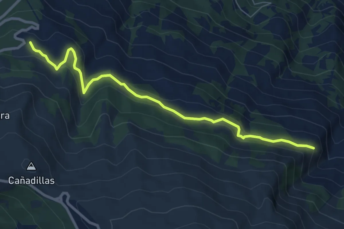
Easy · Trail
Peña del Perro
7.6 km · ↑ 298 m · 2 h 27 min · 14 km away
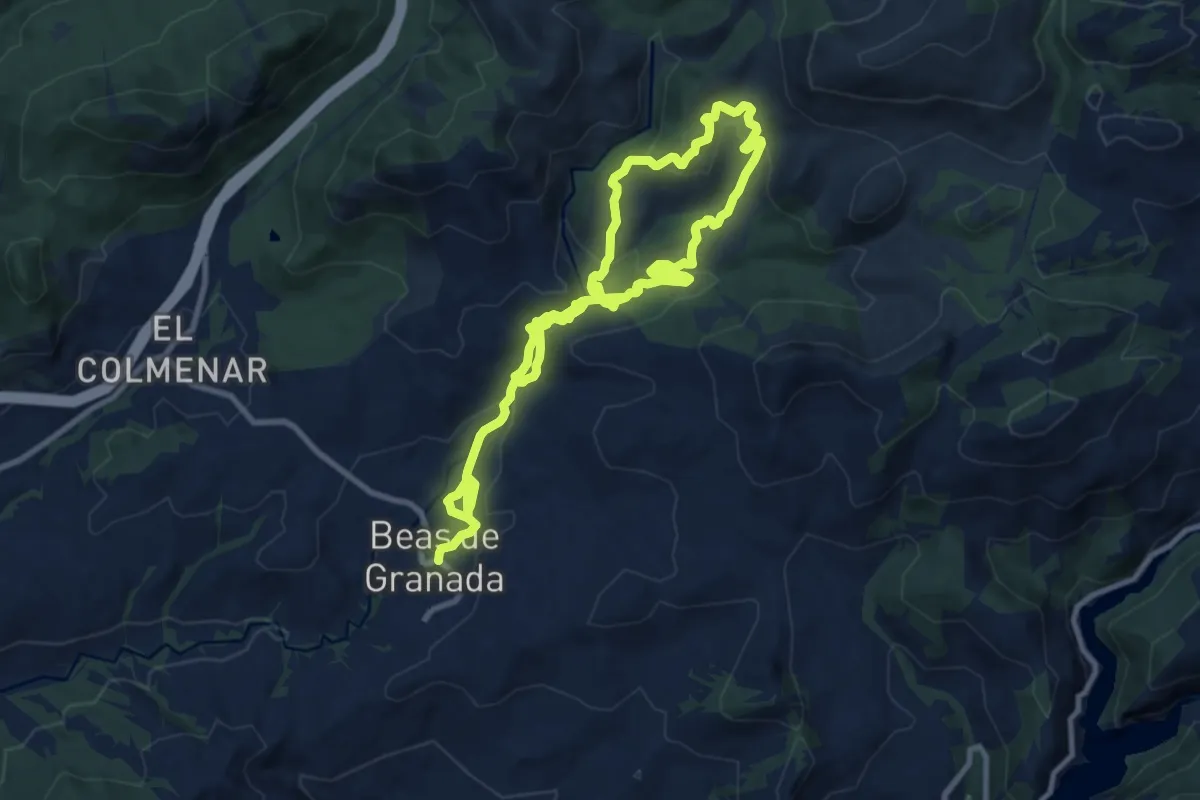
Medium · Trail
Ruta de los Diques de Beas de Granada
9.1 km · ↑ 324 m · 2 h 58 min · 14 km away
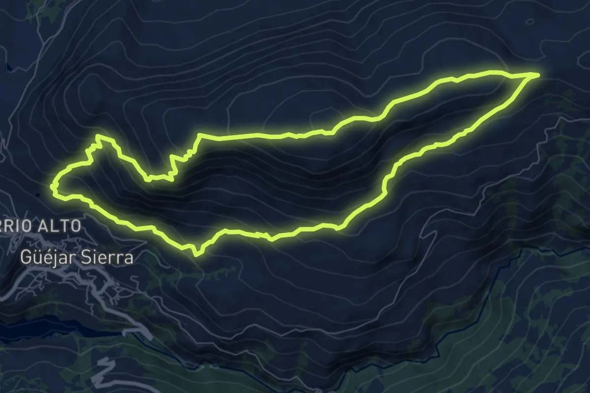
Demanding · Summit
Sendero del Cerro del Calar
10.0 km · ↑ 674 m · 3 h 58 min · 14 km away
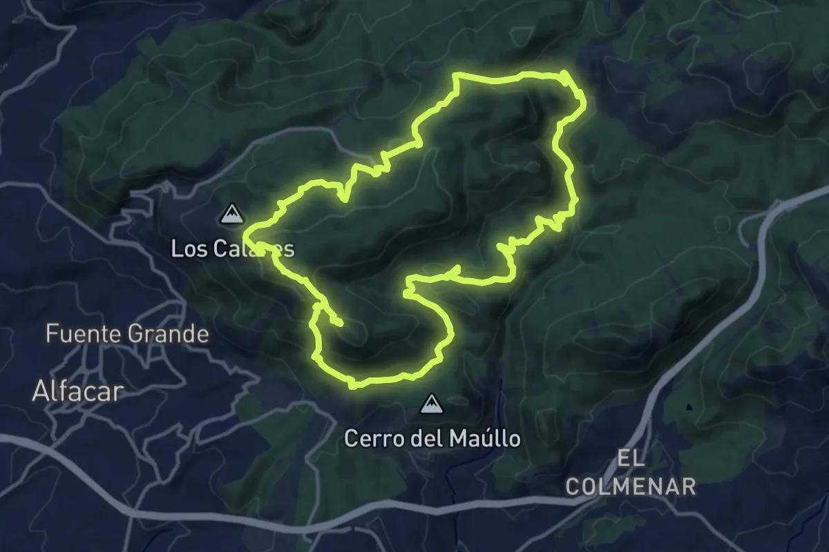
Demanding · Summit
Cuevas y cruces de la Sierra de la Alfaguara
16.2 km · ↑ 689 m · 5 h 32 min · 15 km away
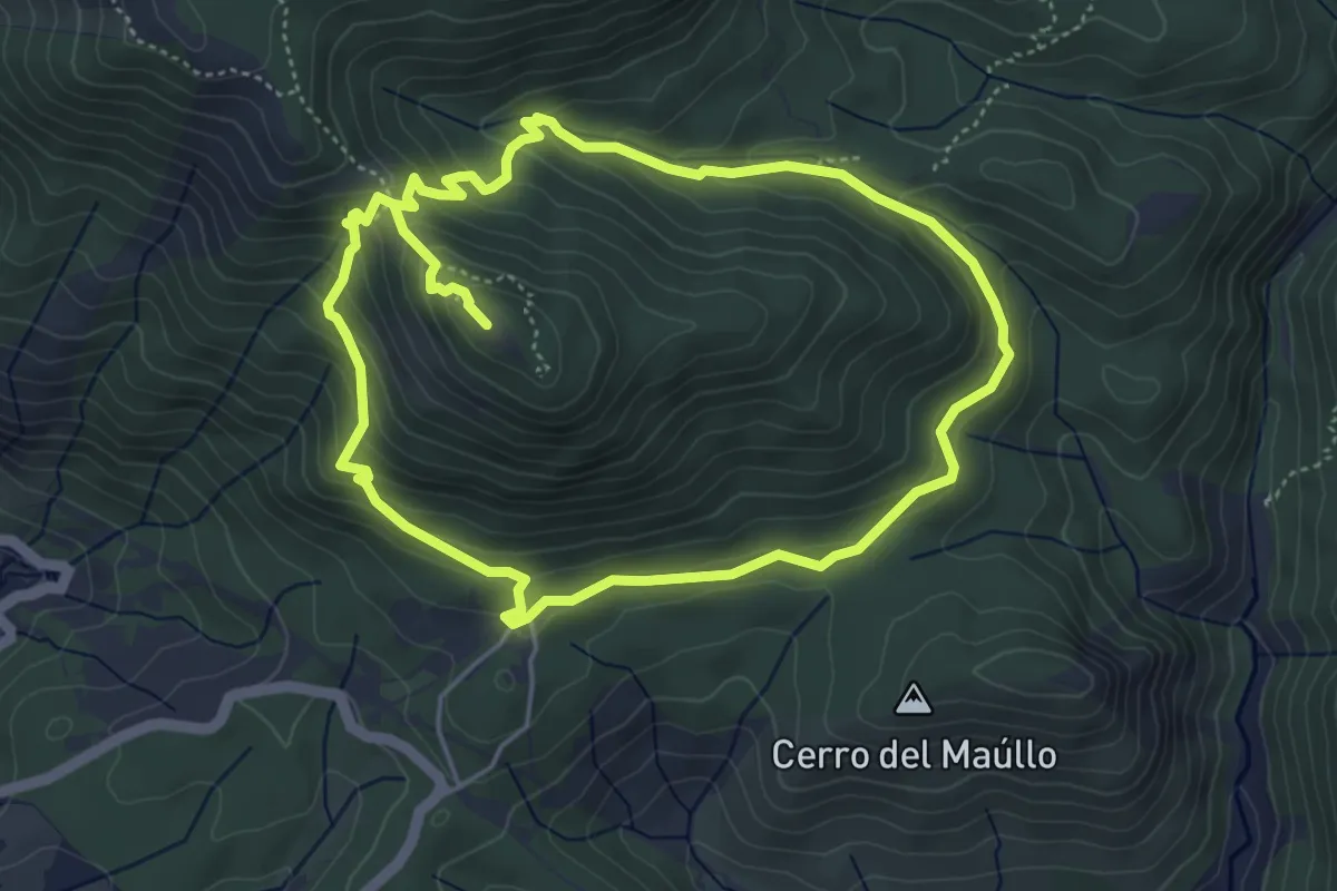
Demanding · Summit
Cruz de Víznar
10.5 km · ↑ 572 m · 3 h 43 min · 15 km away