Trails near Malgrat de Mar
17 hikes starting within 15 km, nearest first.
Nearest first
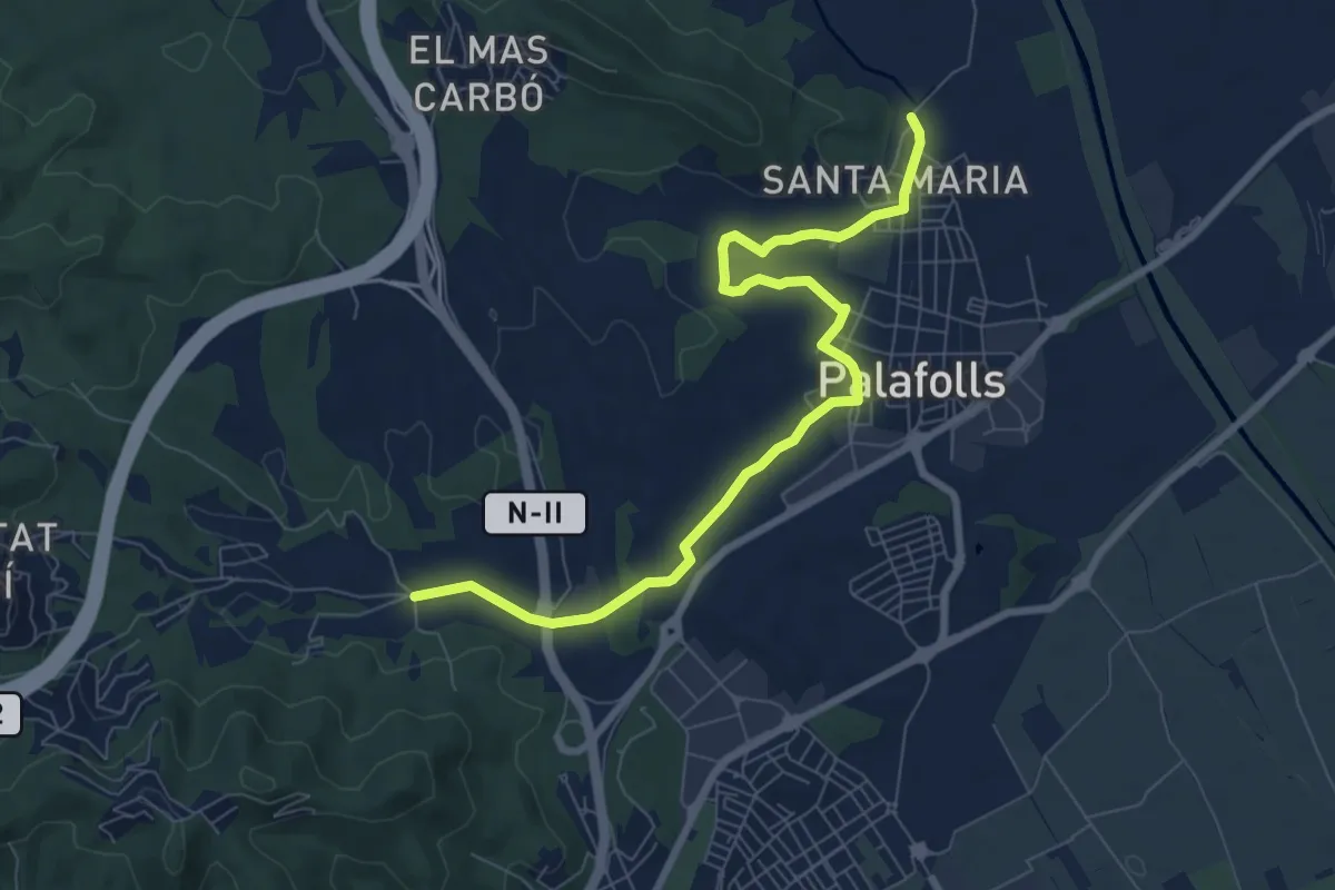
Medium · Trail
Sant Genís-Palafolls
9.1 km · ↑ 79 m · 2 h 20 min · 4 km away
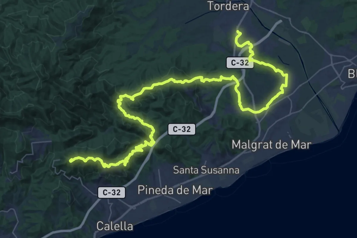
Demanding · Summit
Calella-Tordera
52.0 km · ↑ 1754 m · 16 h 4 min · 5 km away
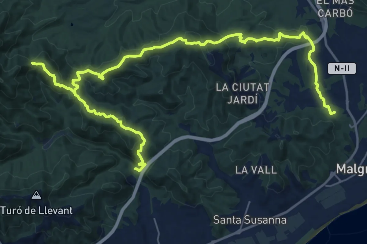
Demanding · Summit
Pineda-Vilamanya-Malgrat
30.4 km · ↑ 1271 m · 9 h 56 min · 5 km away
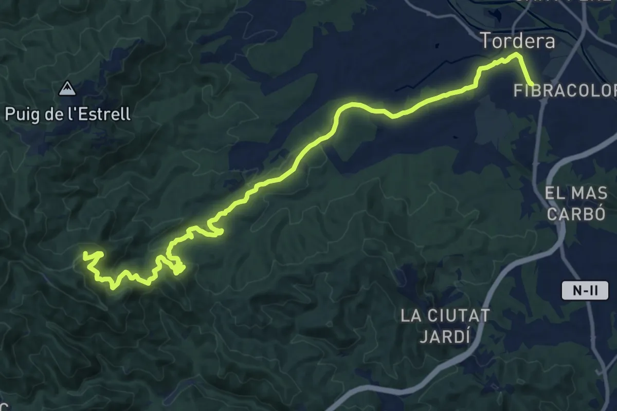
Demanding · Summit
Catalunya E13
23.9 km · ↑ 915 m · 7 h 37 min · 6 km away
Medium · Summit
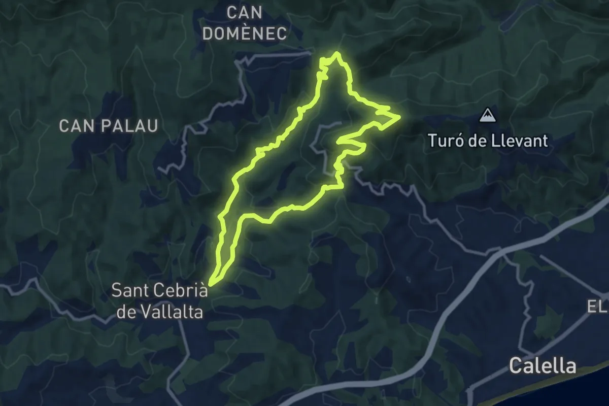
Sant Cebrià de Vallalta
10.2 km · ↑ 440 m · 3 h 30 min · 9 km away
Easy · Trail
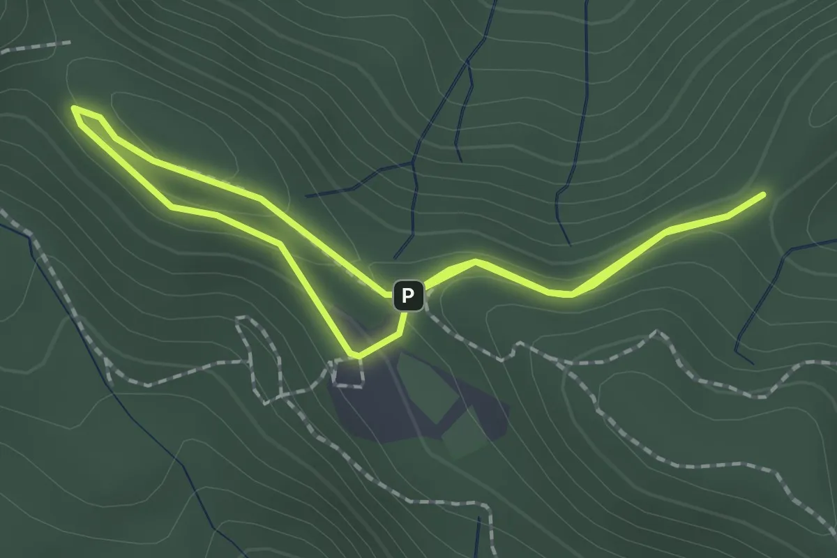
Hortsavinyà. Mare de Deu de l'Erola
1.8 km · ↑ 76 m · 37 min · 10 km away
Demanding · Summit
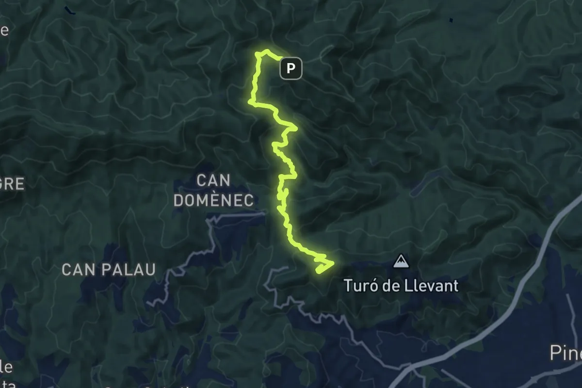
Calella-Hortsavinyà
13.9 km · ↑ 821 m · 5 h 4 min · 10 km away
Demanding · Trail
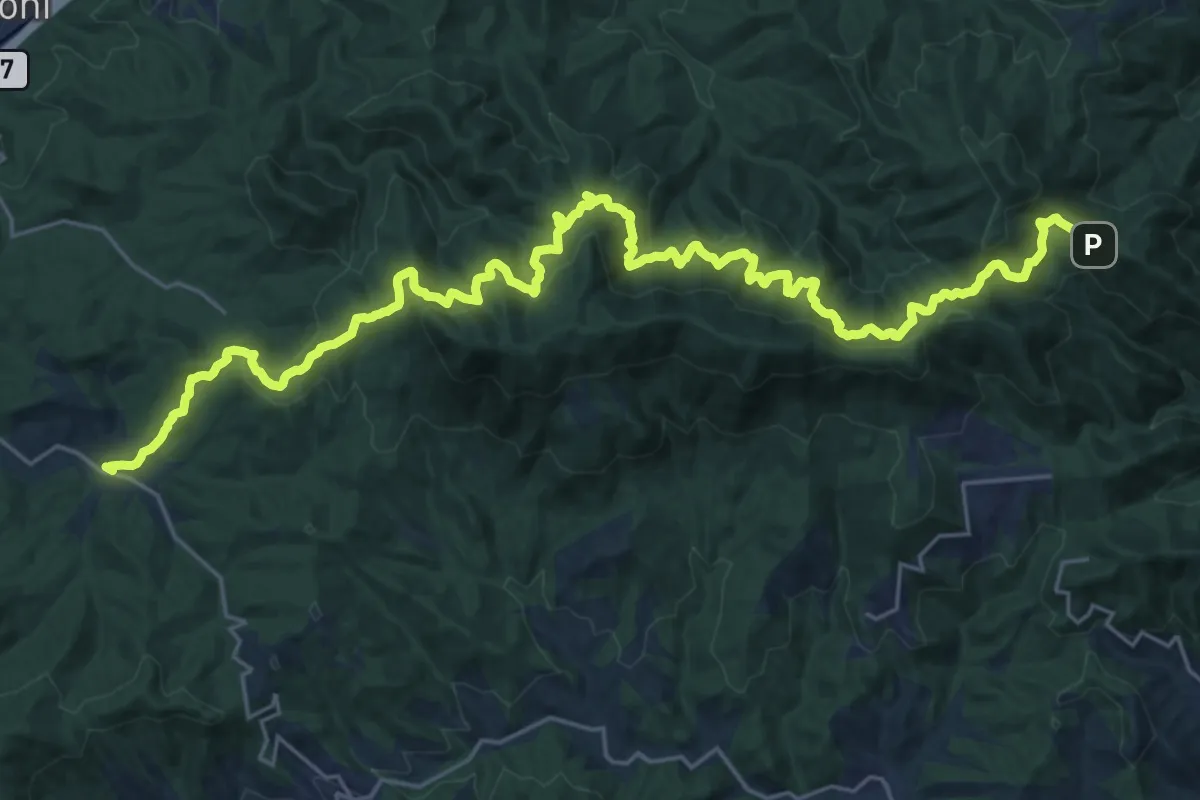
Catalunya E14
16.9 km · ↑ 818 m · 6 h 8 min · 10 km away
Easy · Trail
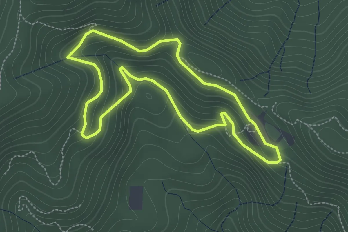
Les Alzines de Can Portell
3.0 km · ↑ 172 m · 1 h 7 min · 10 km away
Medium · Summit
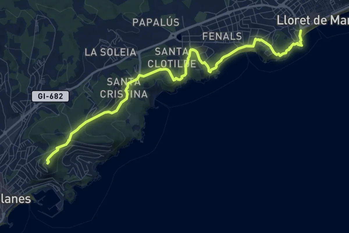
Catalunya E12
12.3 km · ↑ 351 m · 3 h 39 min · 10 km away
Demanding · Trail
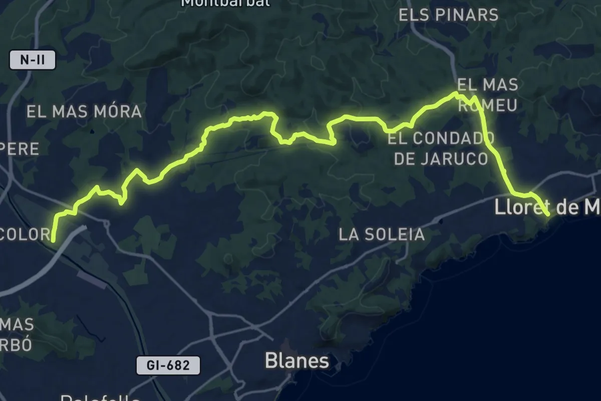
Variant: Lloret de Mar - Tordera
27.5 km · ↑ 424 m · 7 h 25 min · 10 km away
Medium · Summit
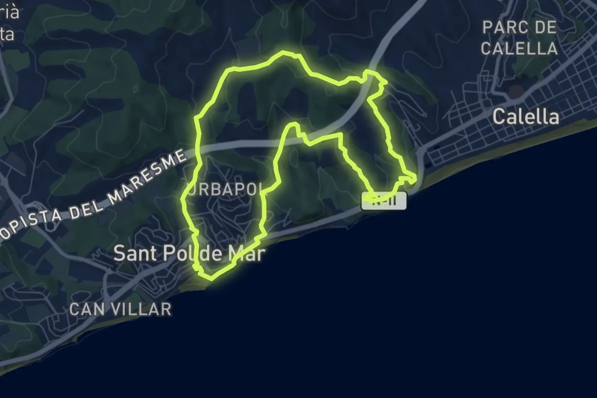
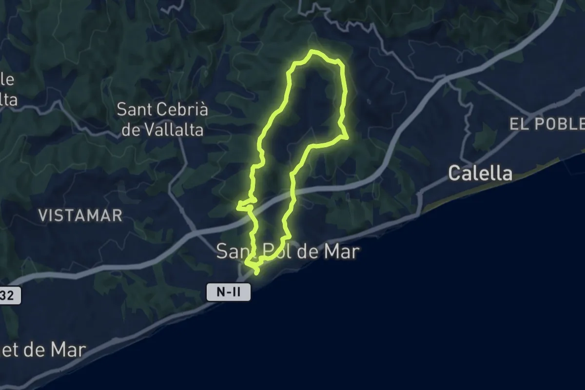
Ruta de les Torretes
8.3 km · ↑ 273 m · 2 h 39 min · 11 km away
Medium · Summit
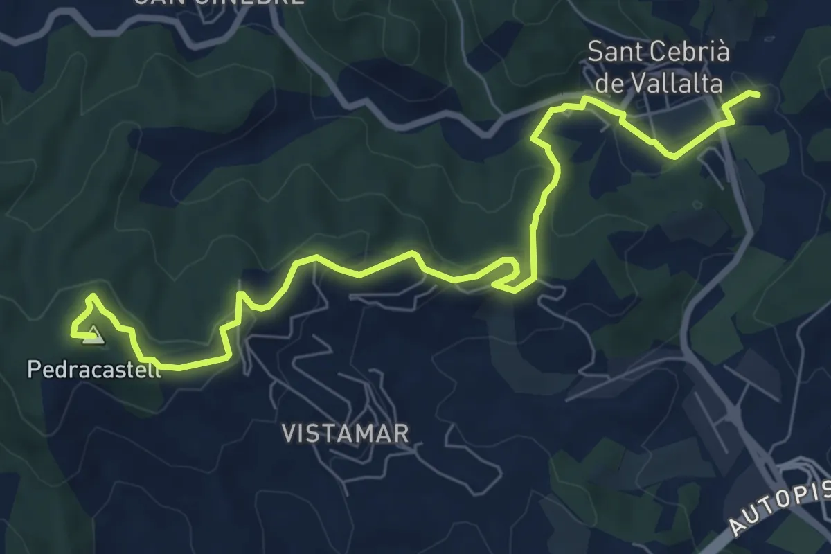
Ruta dels turons
9.5 km · ↑ 307 m · 3 h 2 min · 11 km away
Medium · Summit
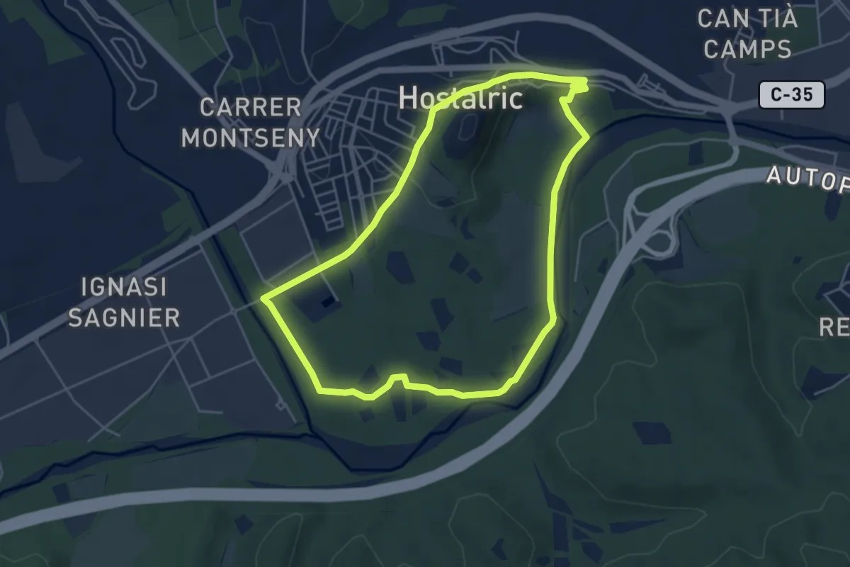
Sant Cebrià de Vallalta-Arenys de Mar
9.2 km · ↑ 311 m · 2 h 51 min · 12 km away
Easy · Trail
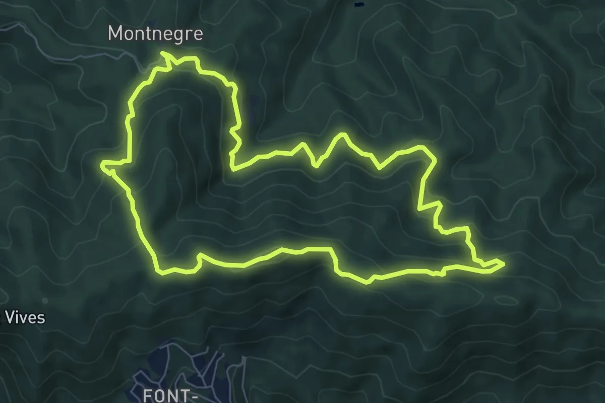
Hostalric. La Tordera i Parc de les Rieres
5.0 km · ↑ 68 m · 1 h 24 min · 14 km away
Medium · Summit
Montnegre carener
8.1 km · ↑ 528 m · 3 h 11 min · 15 km away
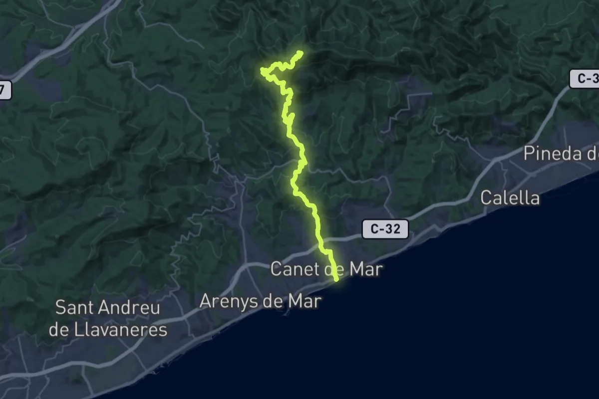
Demanding · Summit
Canet de Mar-Coll de Basses
28.2 km · ↑ 1309 m · 9 h 29 min · 15 km away